
Hochwald mountain bike route
stredná
Získajte túto prehliadku v mobilnom telefóne
Hochwald mountain bike route
stredná
Mountainbike
22,90
km
Naskenujte kód QR a spustite navigáciu v aplikácii bergfex


Turistika a stopovanie





Hochwald mountain bike route
stredná
Vzdialenosť
22,9
km
Trvanie
02:30
h
Ascent
695
hm
Hladina mora
723 -
1 369
m

Naviguj sa počas prehliadky v aplikácii
Nainštalujte si aplikáciu zadarmo a sledujte trasu vďaka GPS navigácii a sledovaniu polohy.
Využite službu „ bergfex “ už teraz v aplikácii
Naskenuj QR kód pomocou fotoaparátu
Ak máte aplikáciu nainštalovanú, obsah sa otvorí priamo. Ak aplikáciu ešte nemáte, budete presmerovaní na stránku, kde si ju môžete bezplatne stiahnuť.
Stiahnutie skladby
Hochwald mountain bike route
stredná
Mountainbike
22,90
km
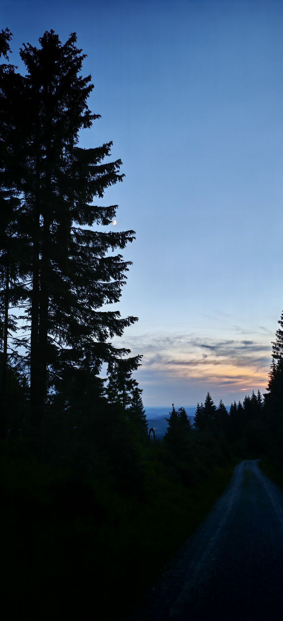
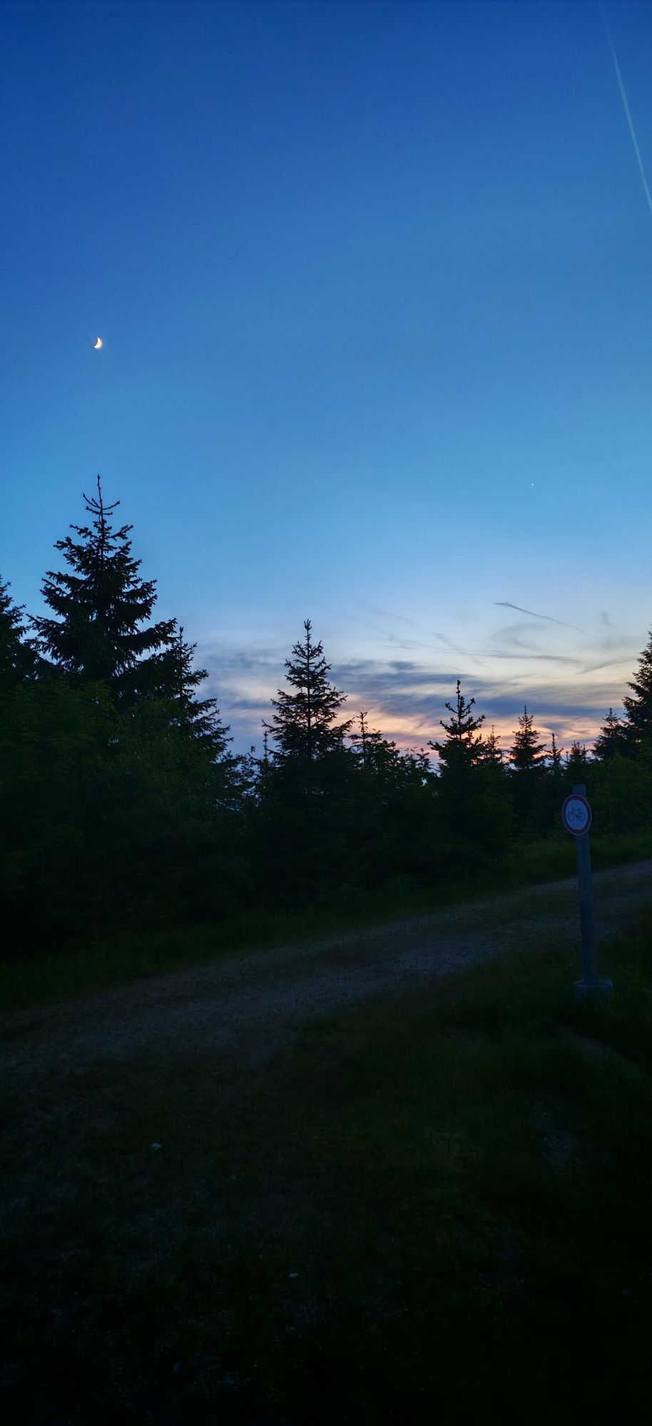
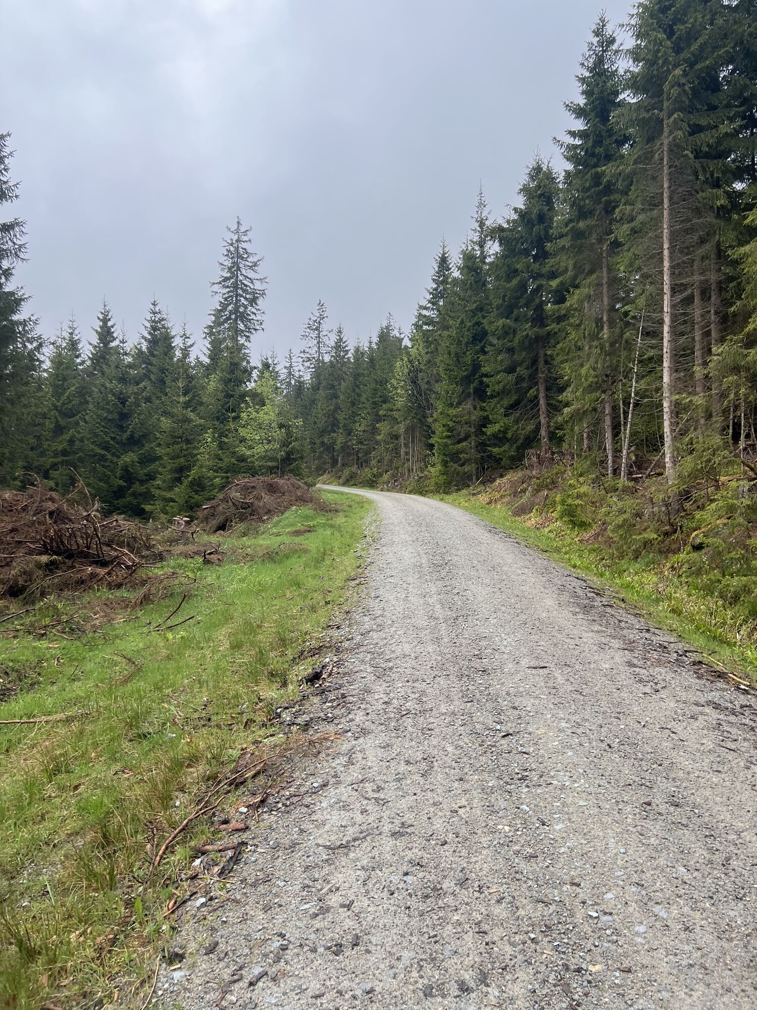
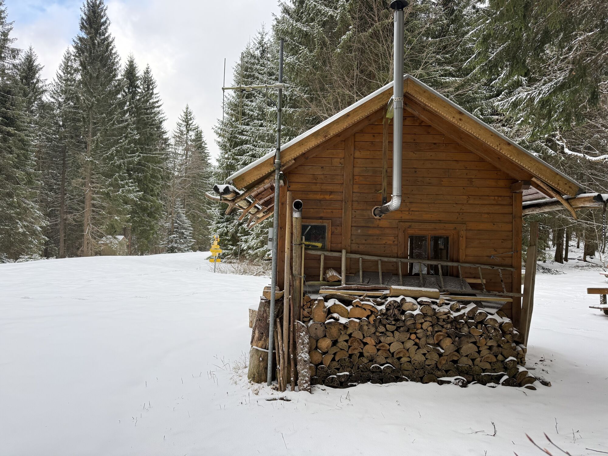
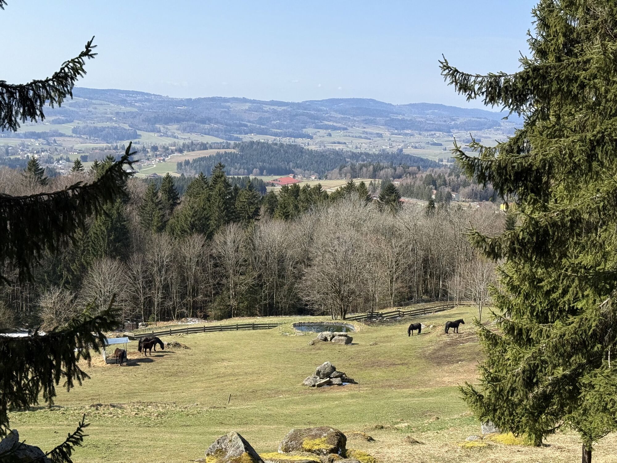
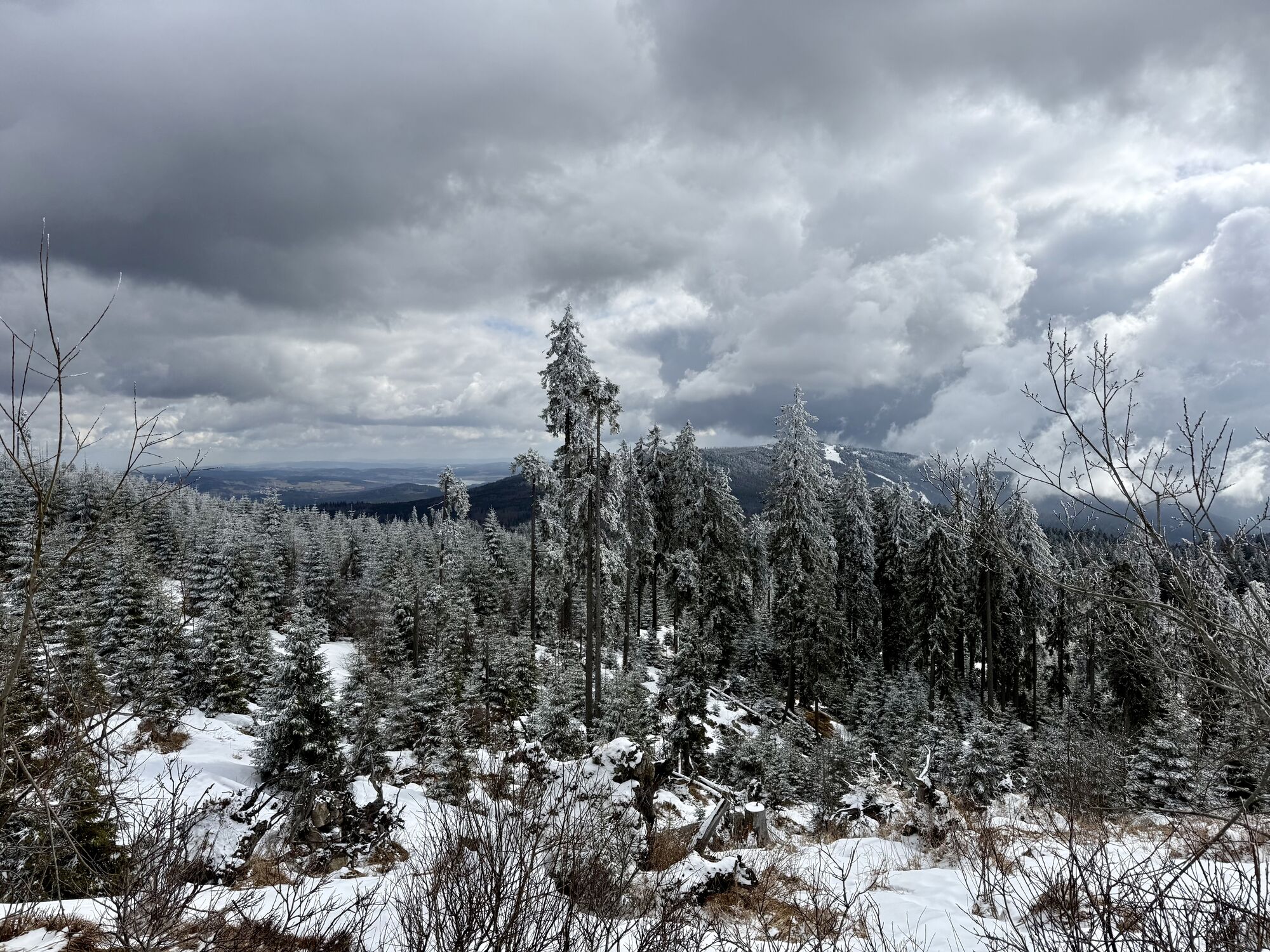
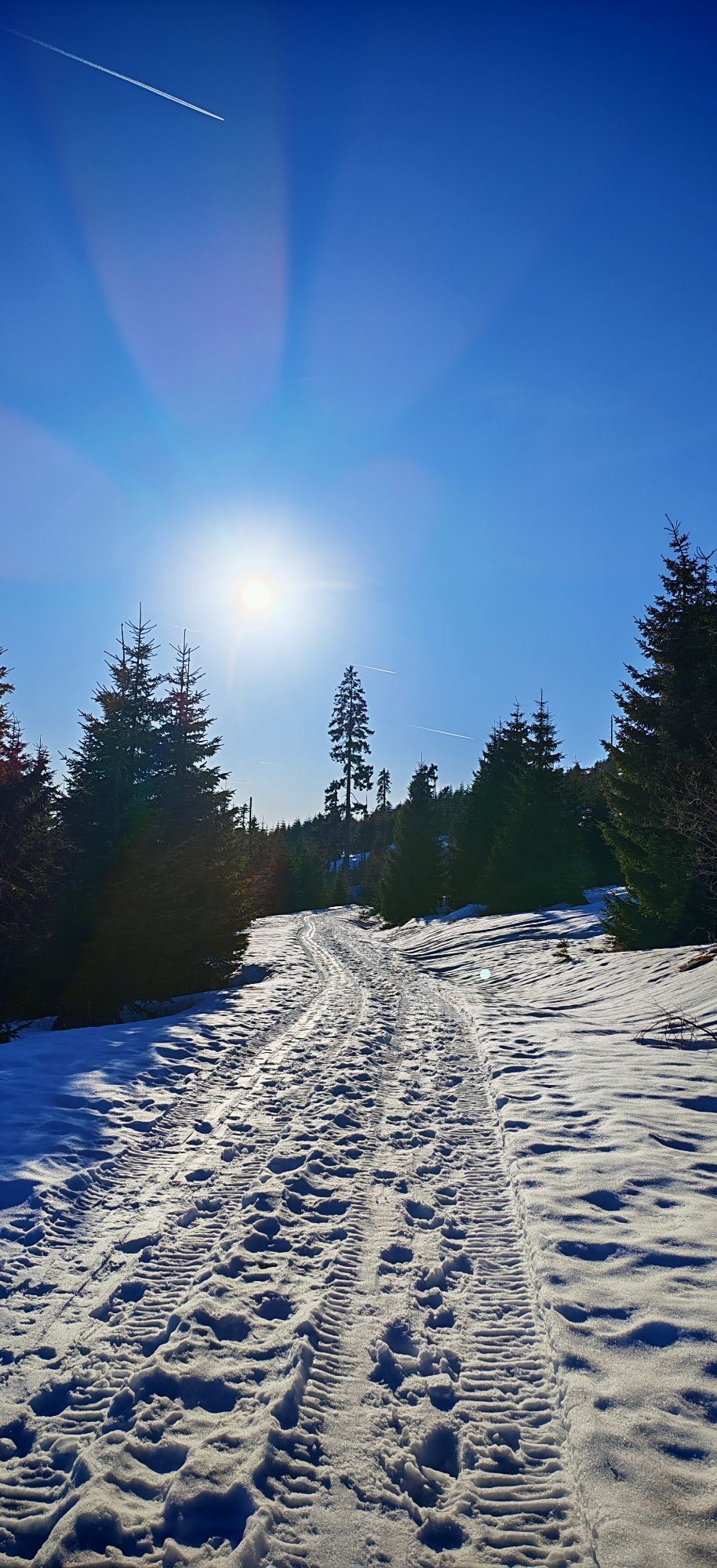
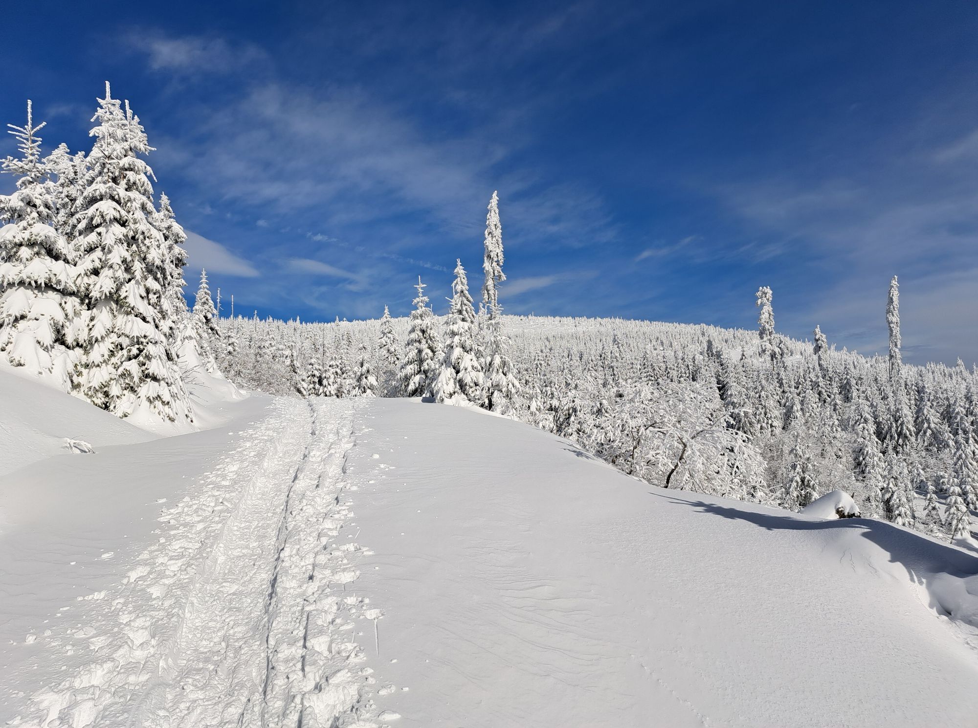
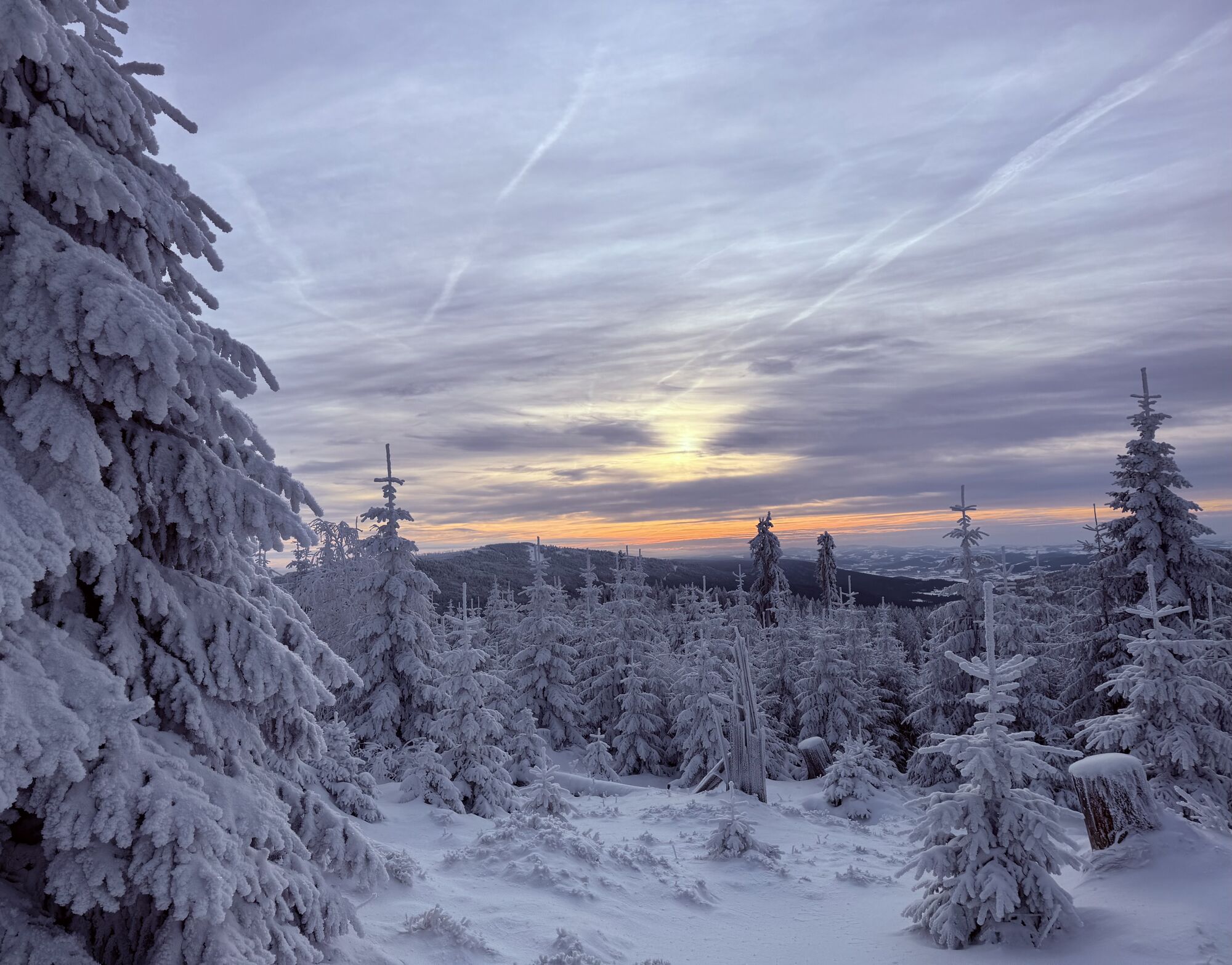
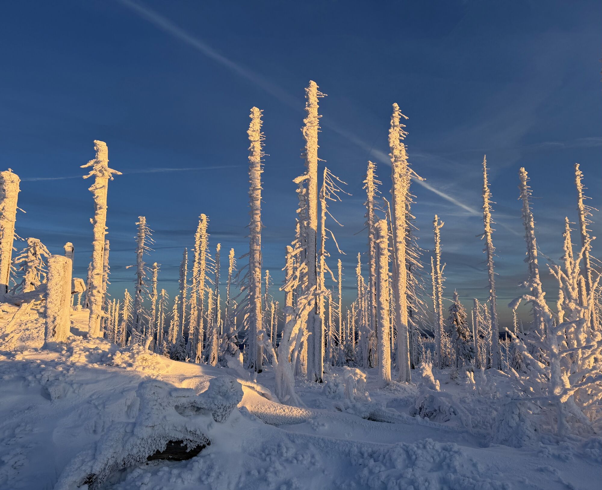
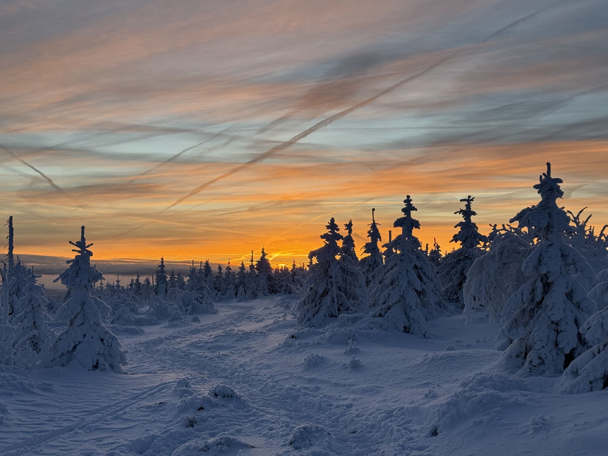
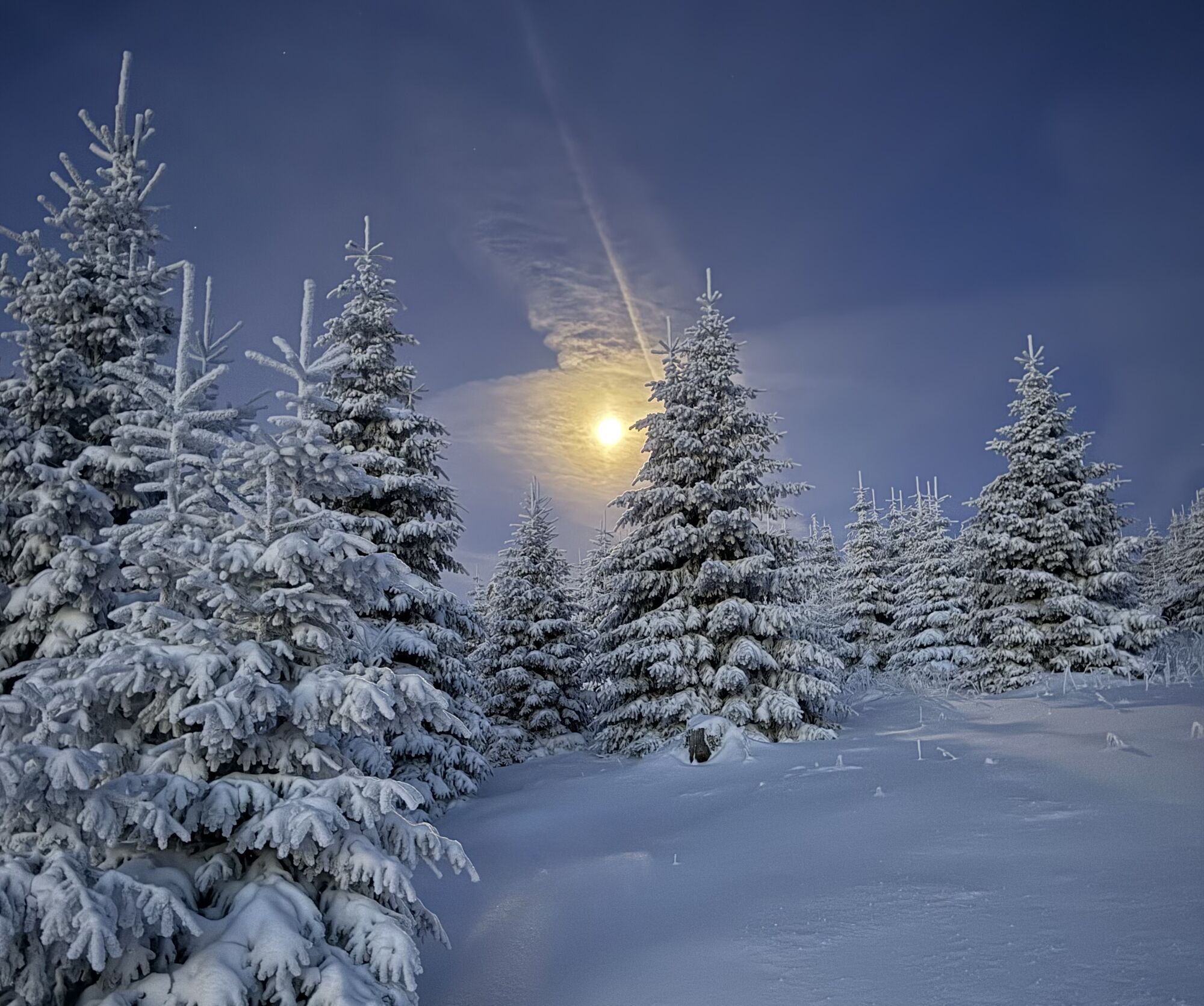
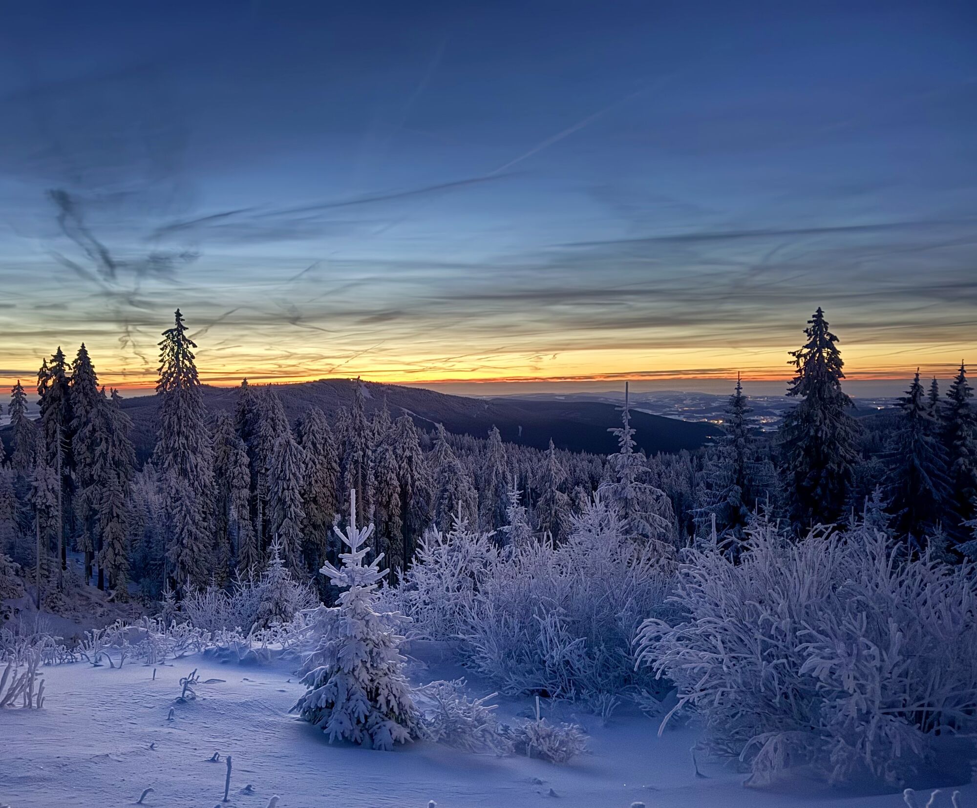
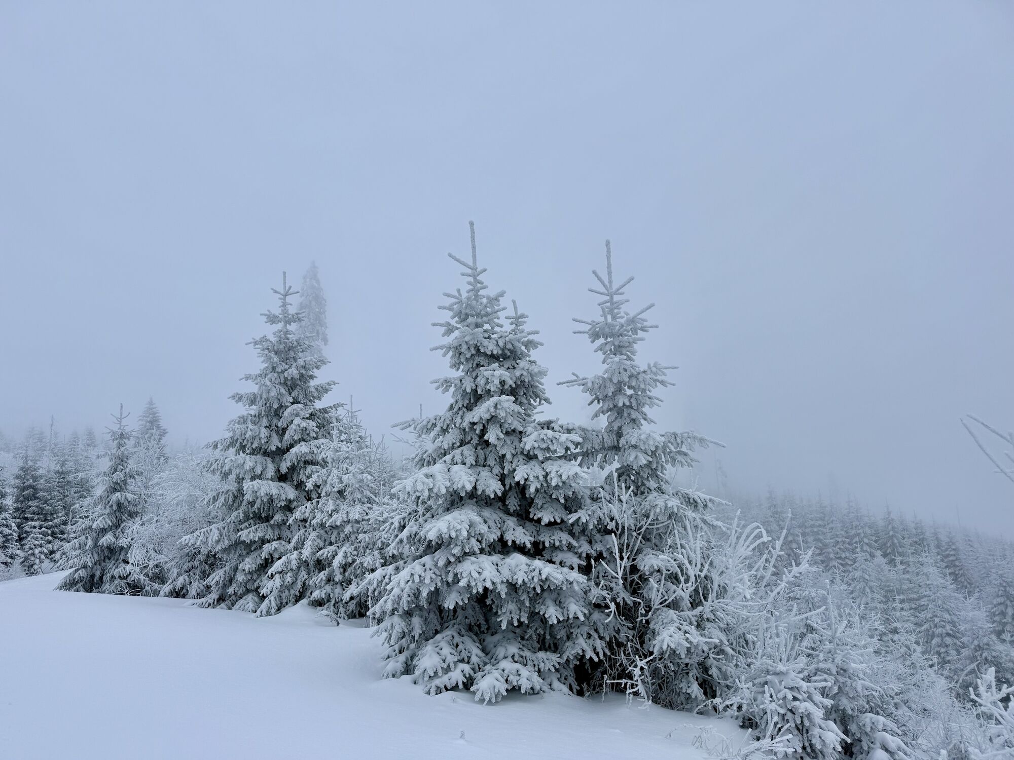
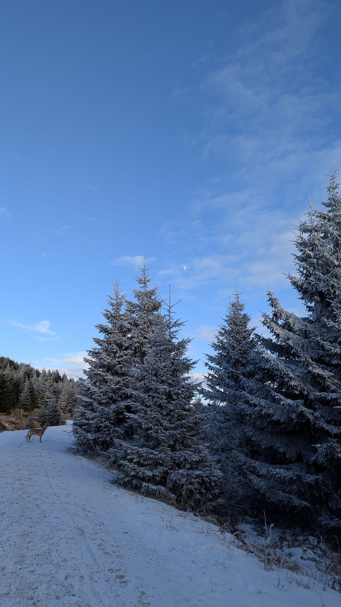
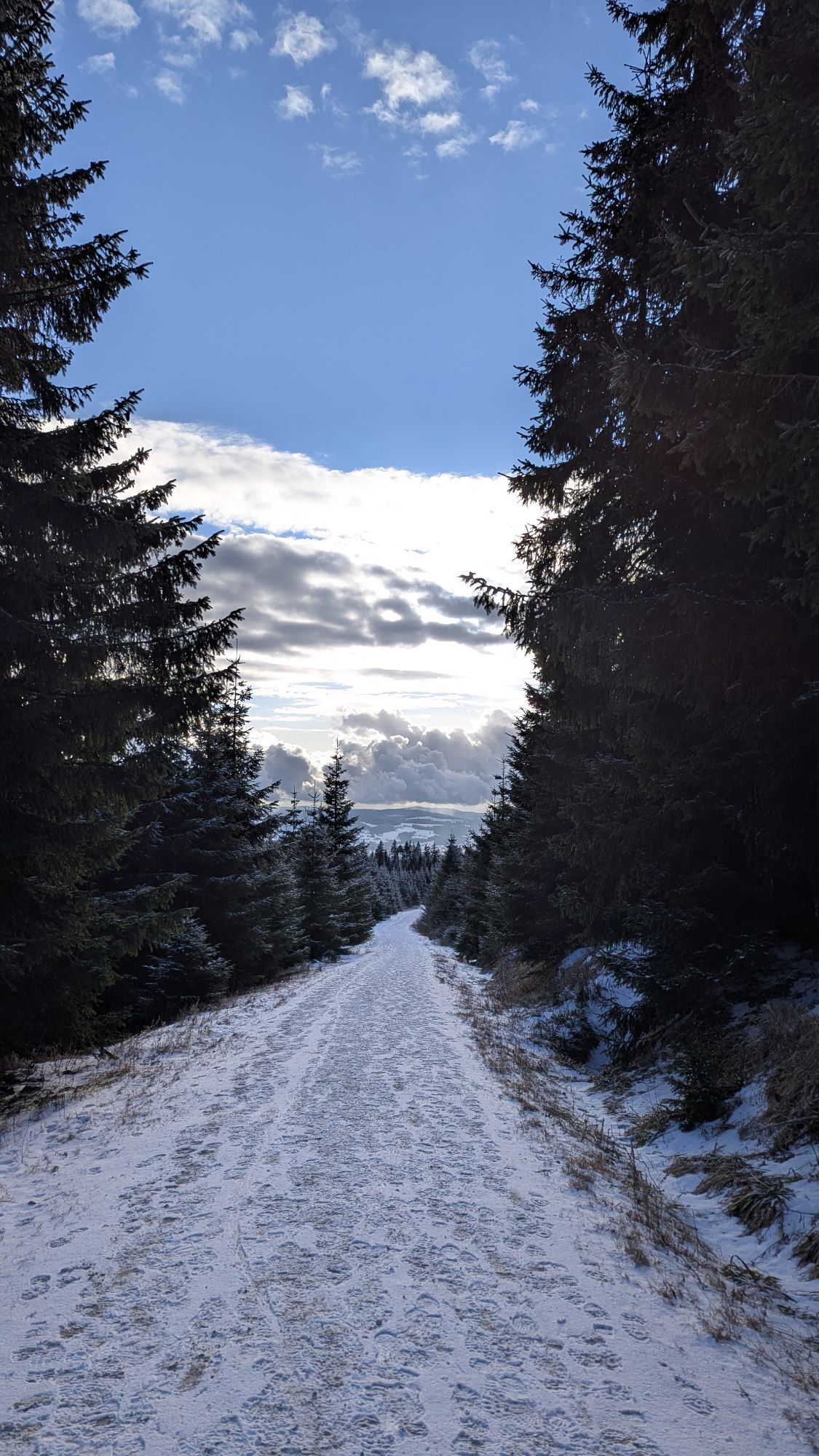
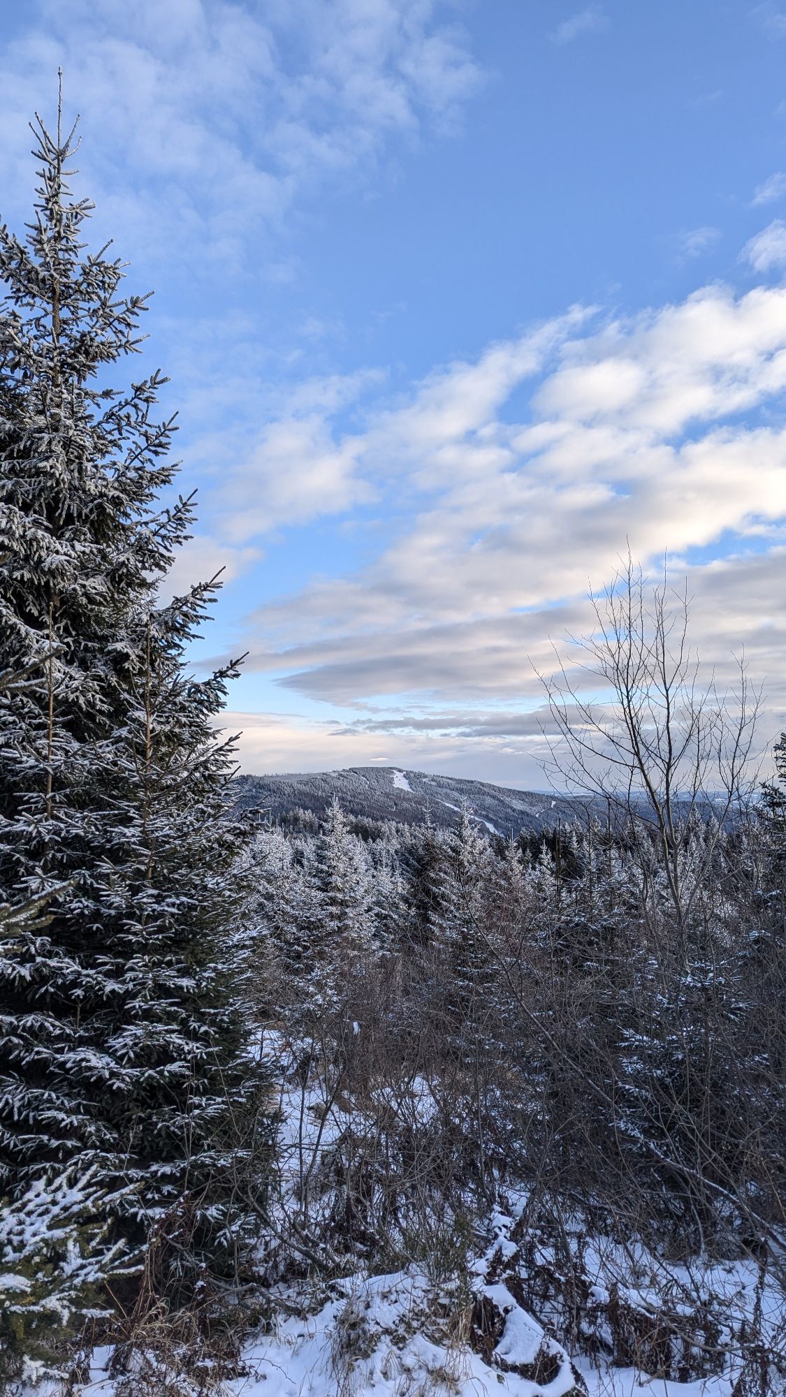
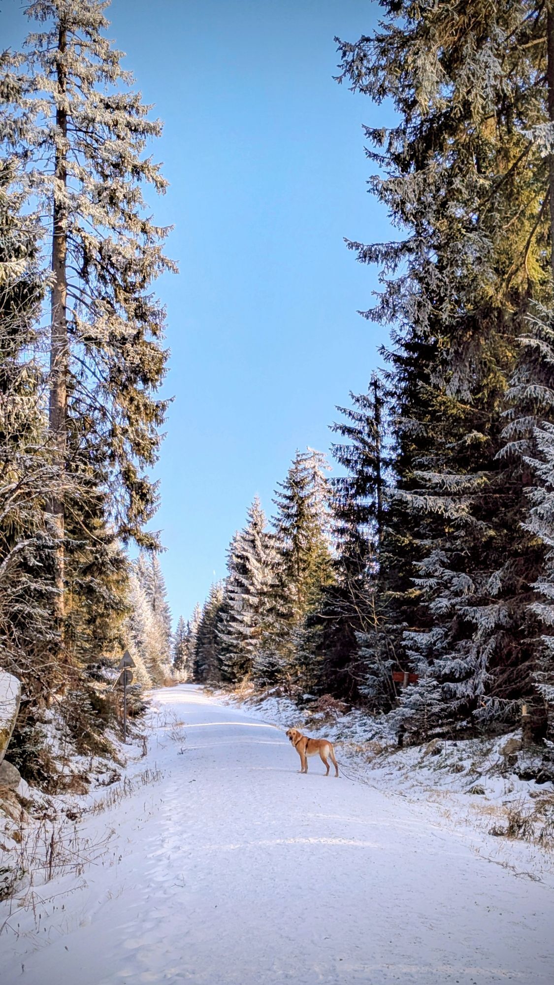
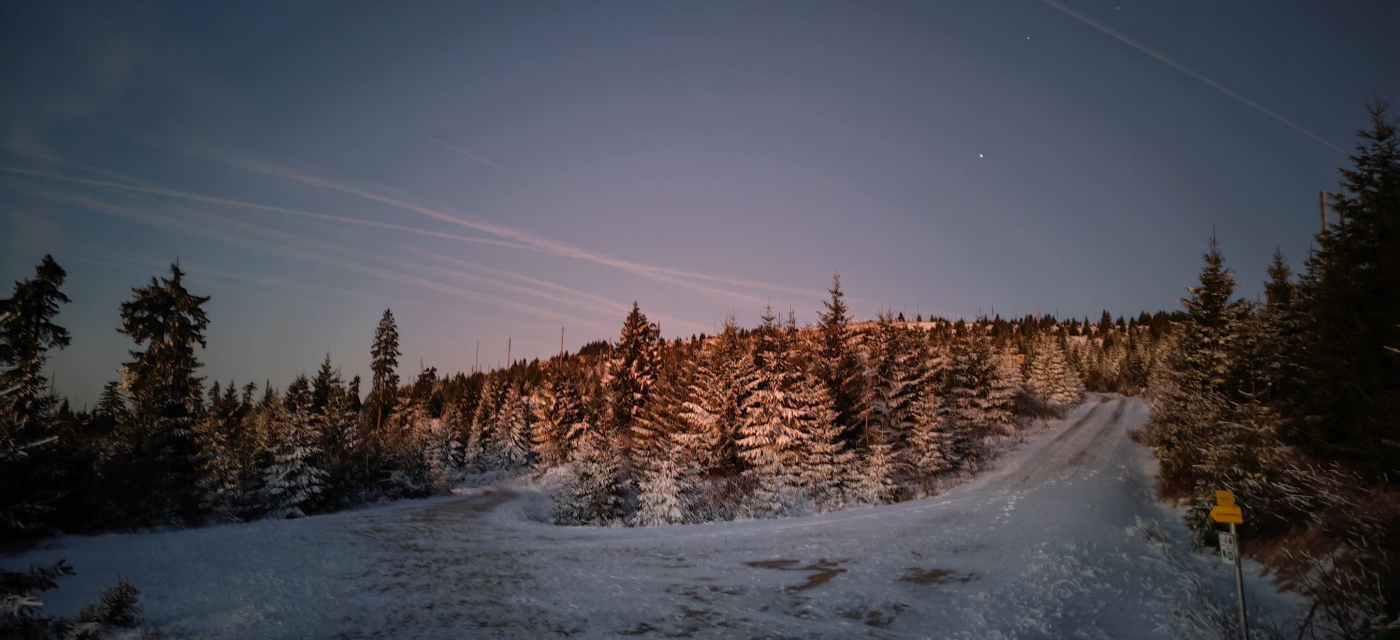
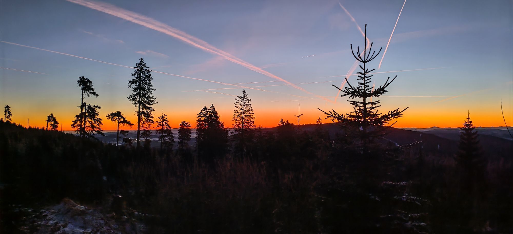
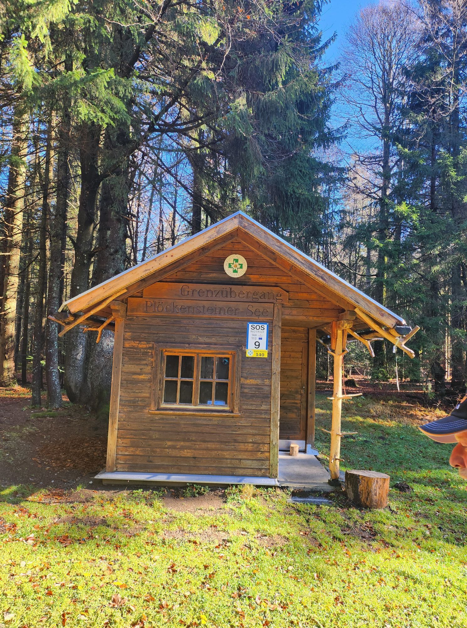
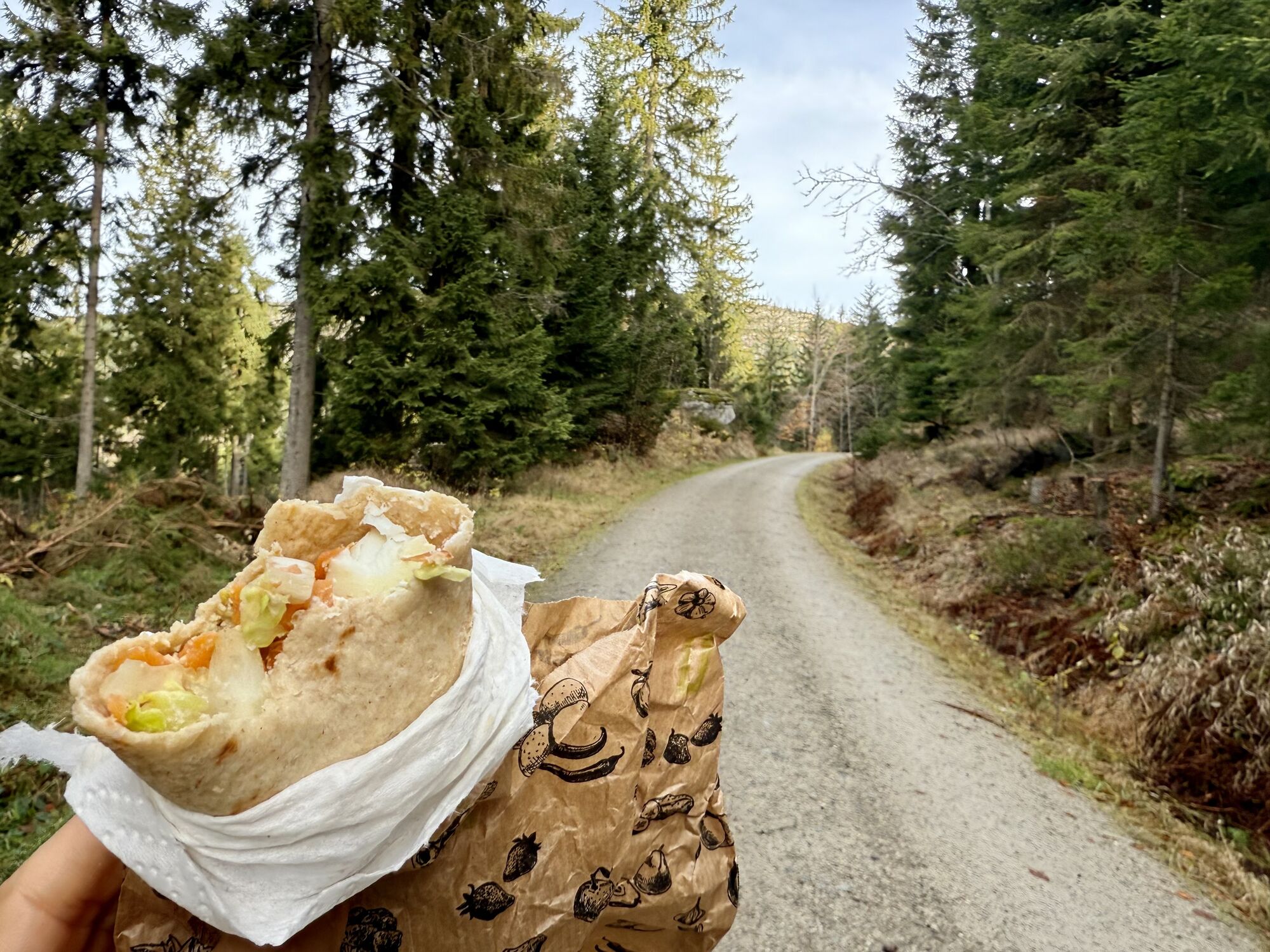

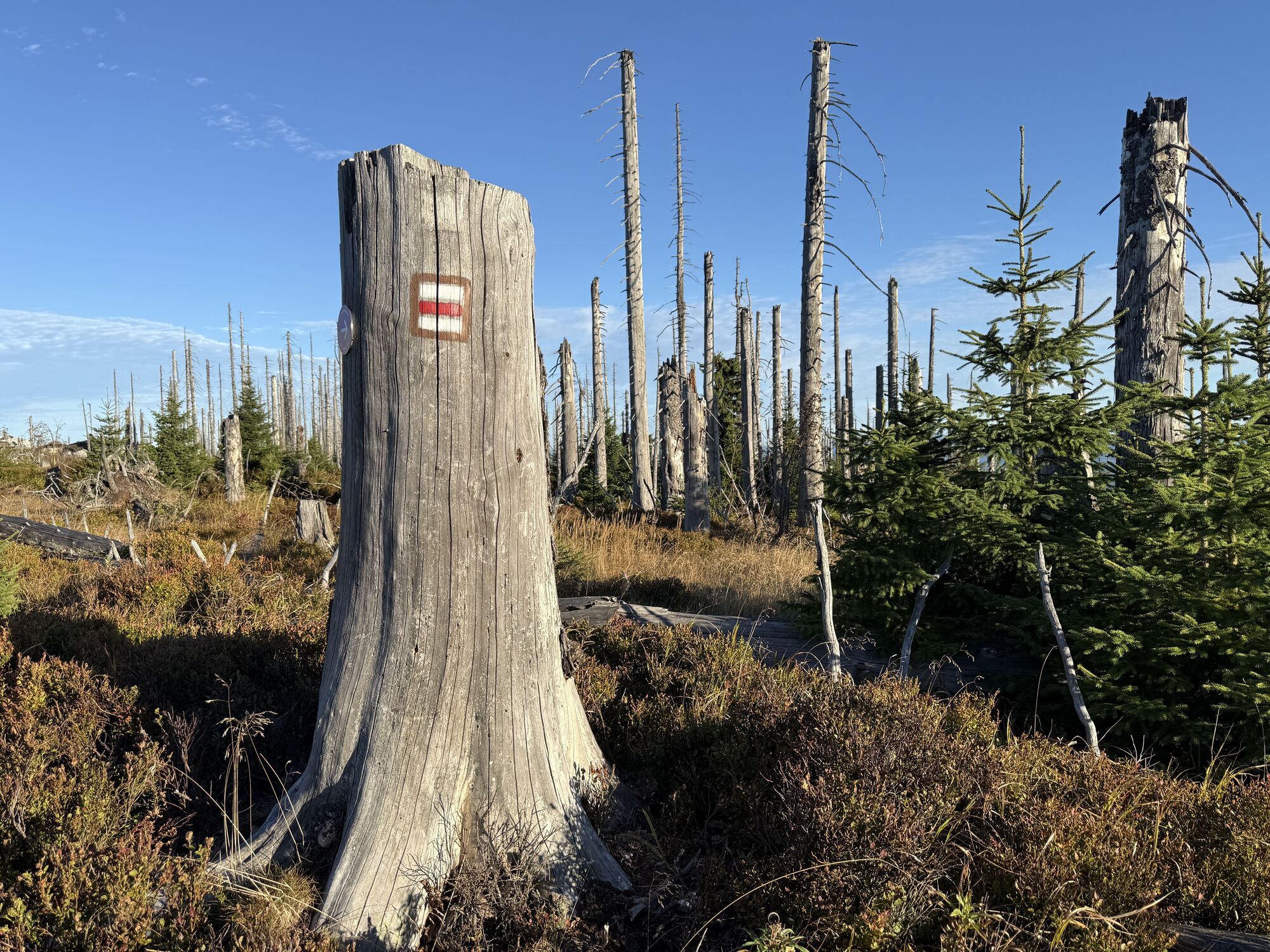
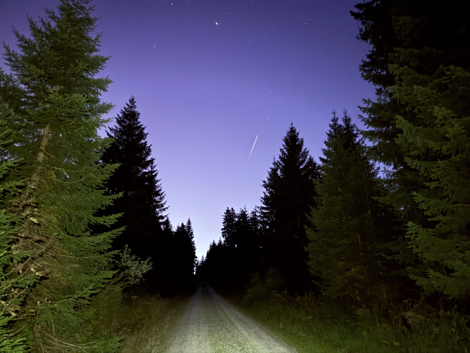
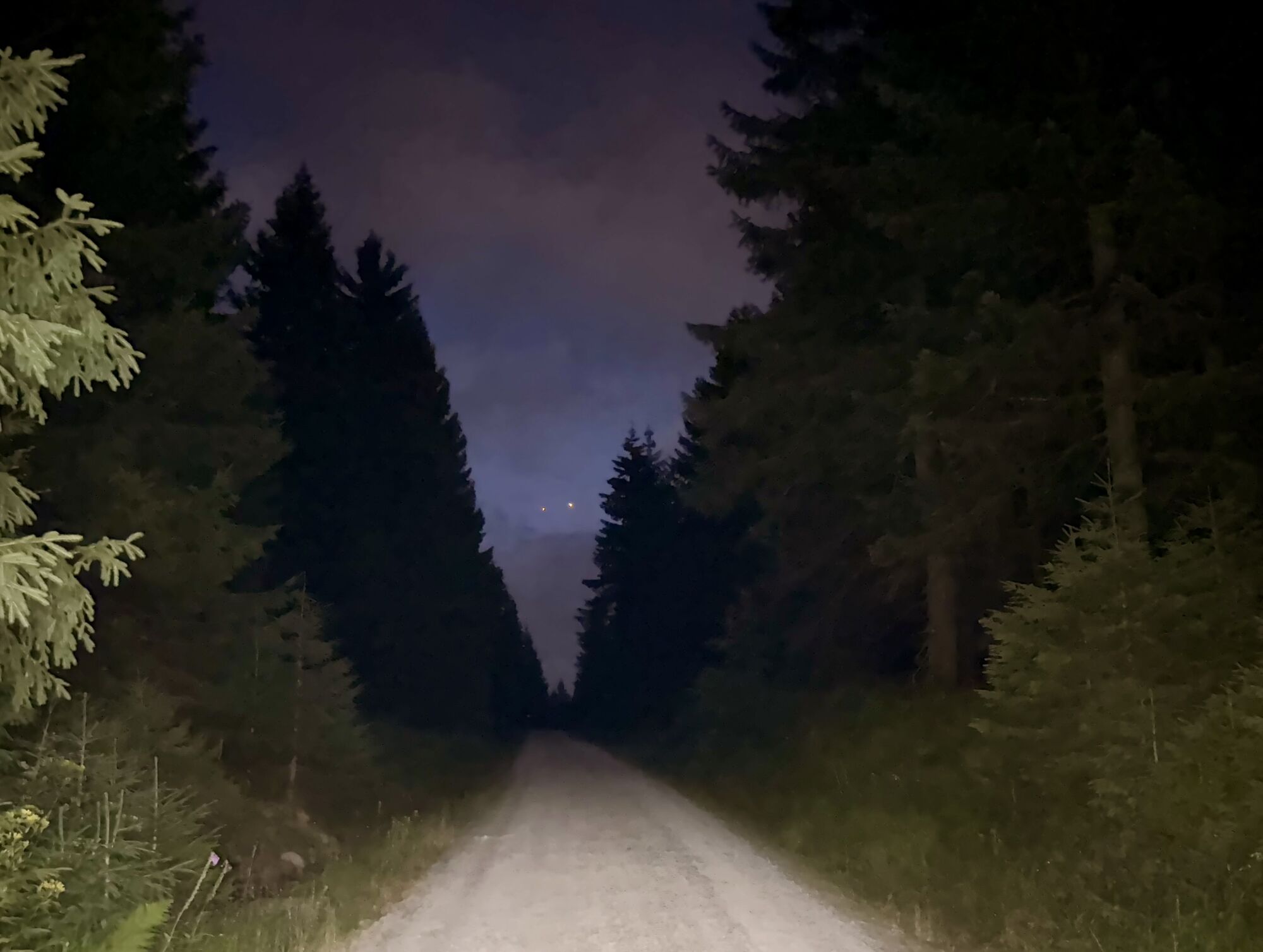
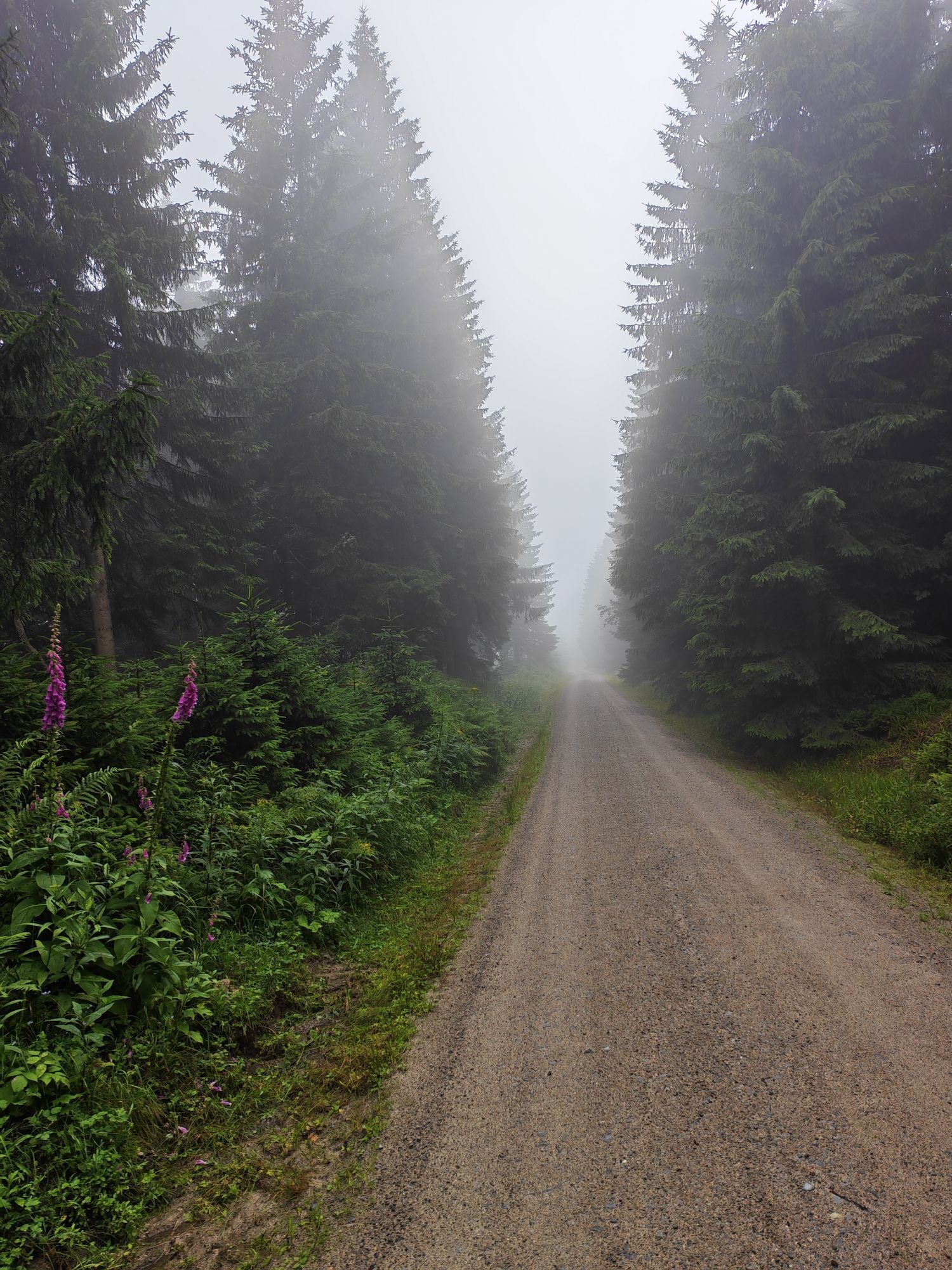
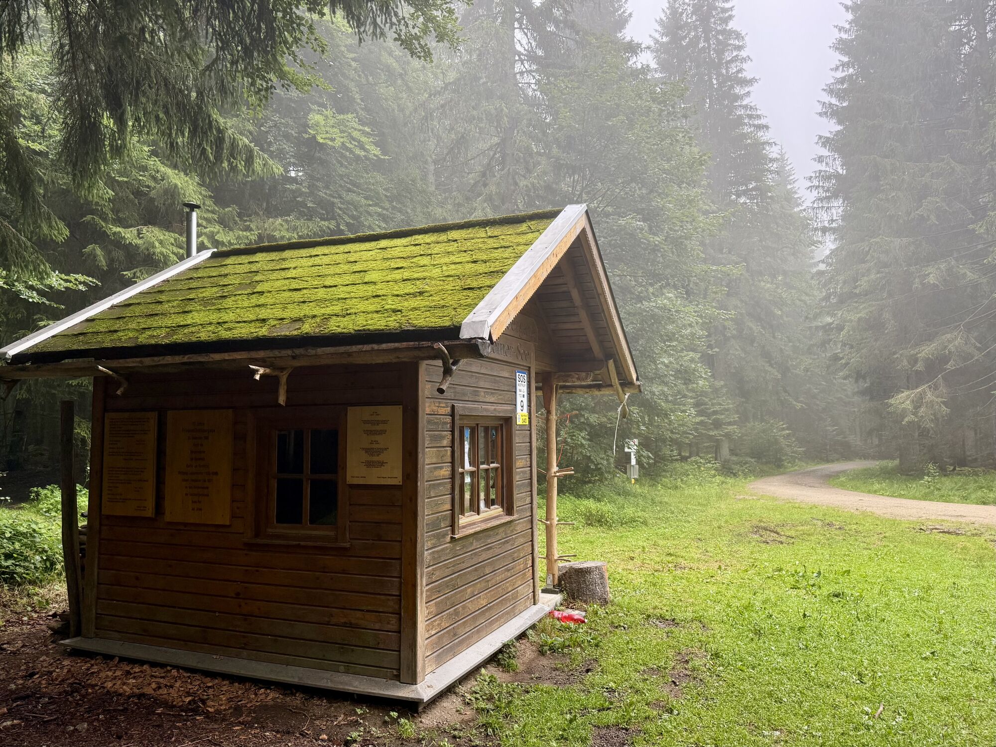
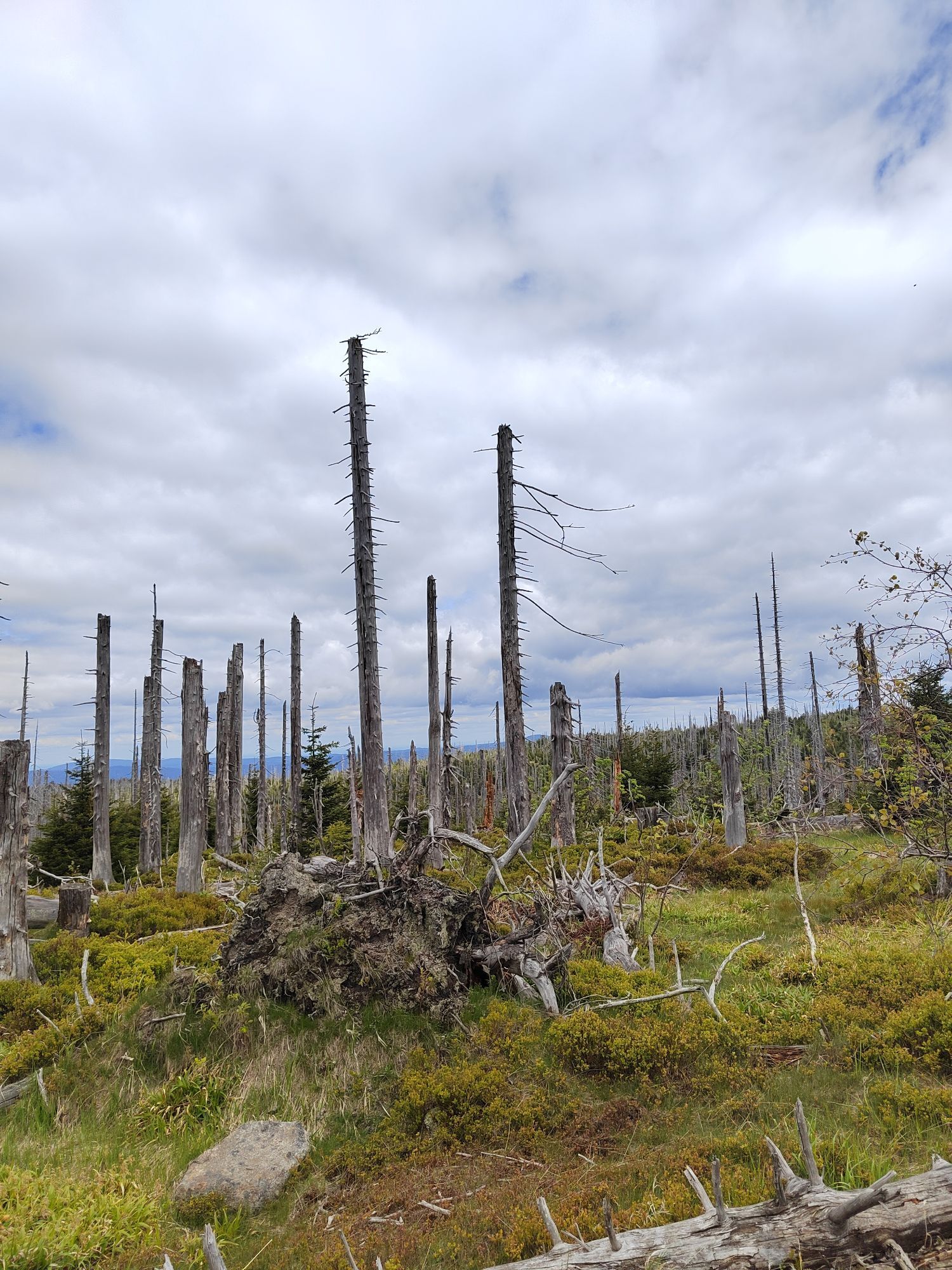
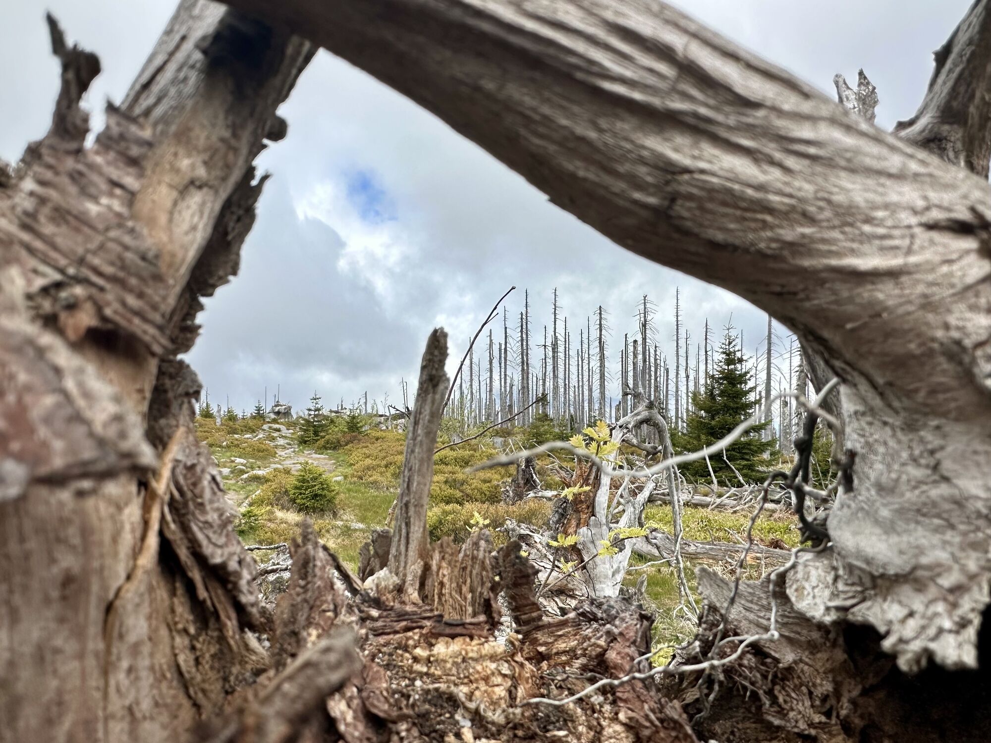
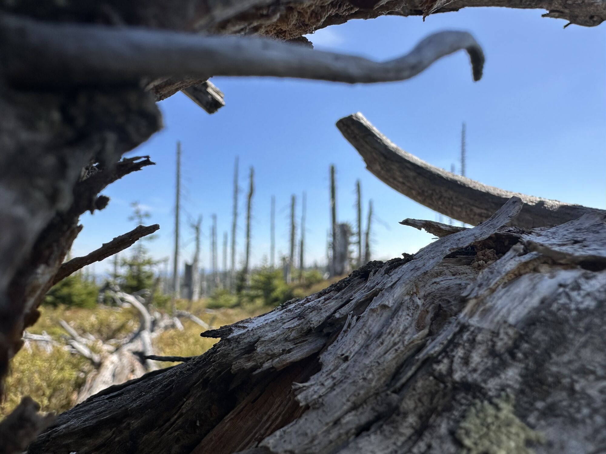
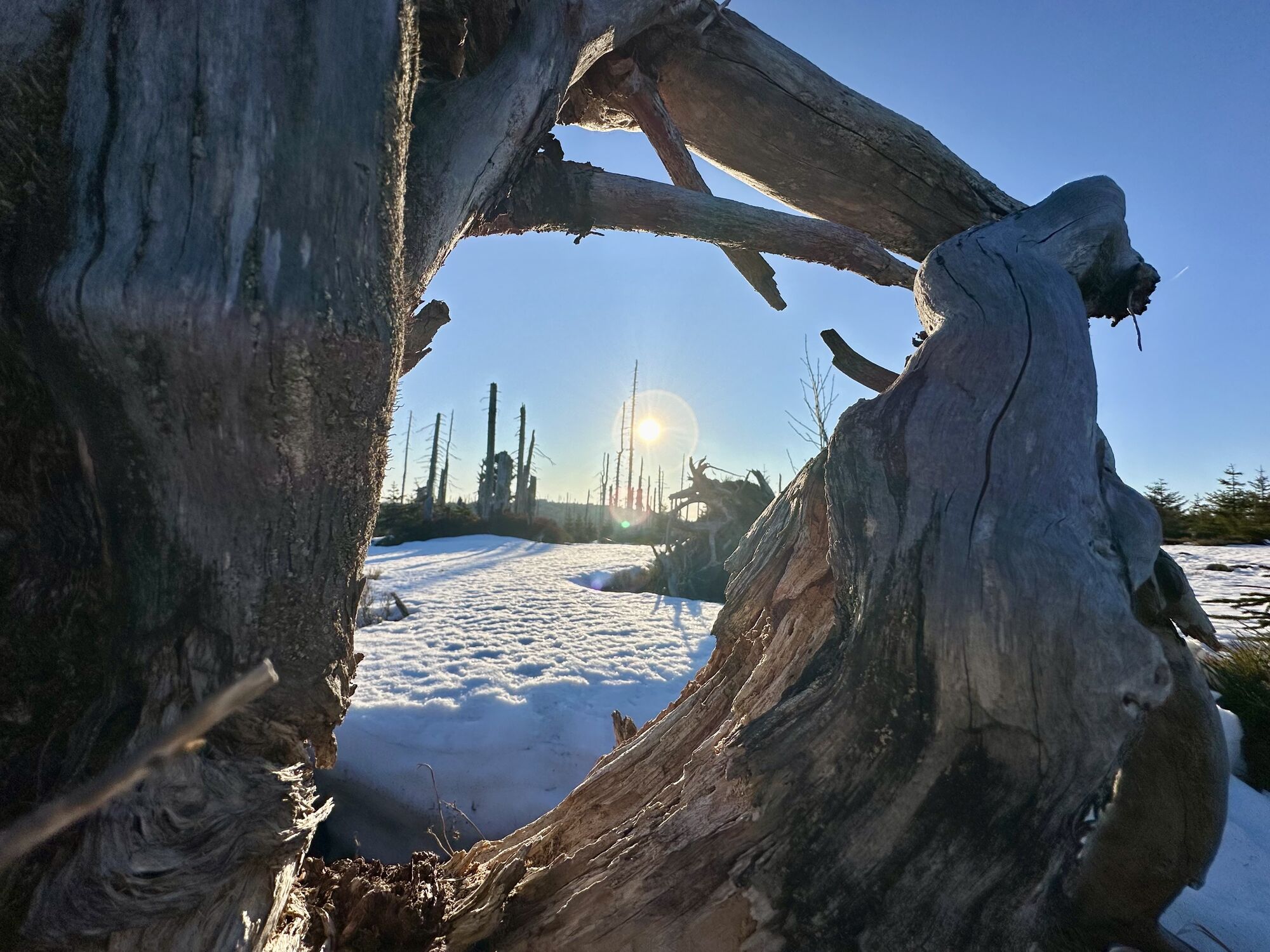
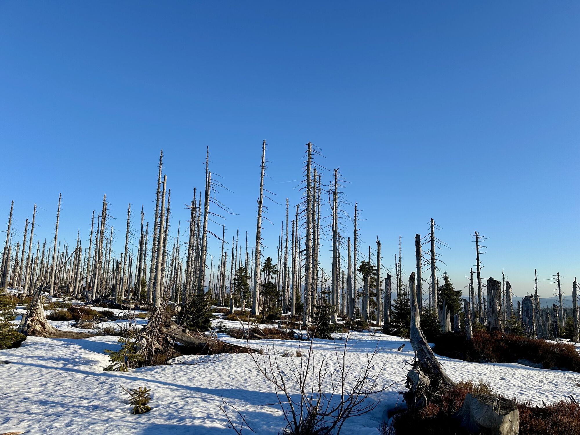
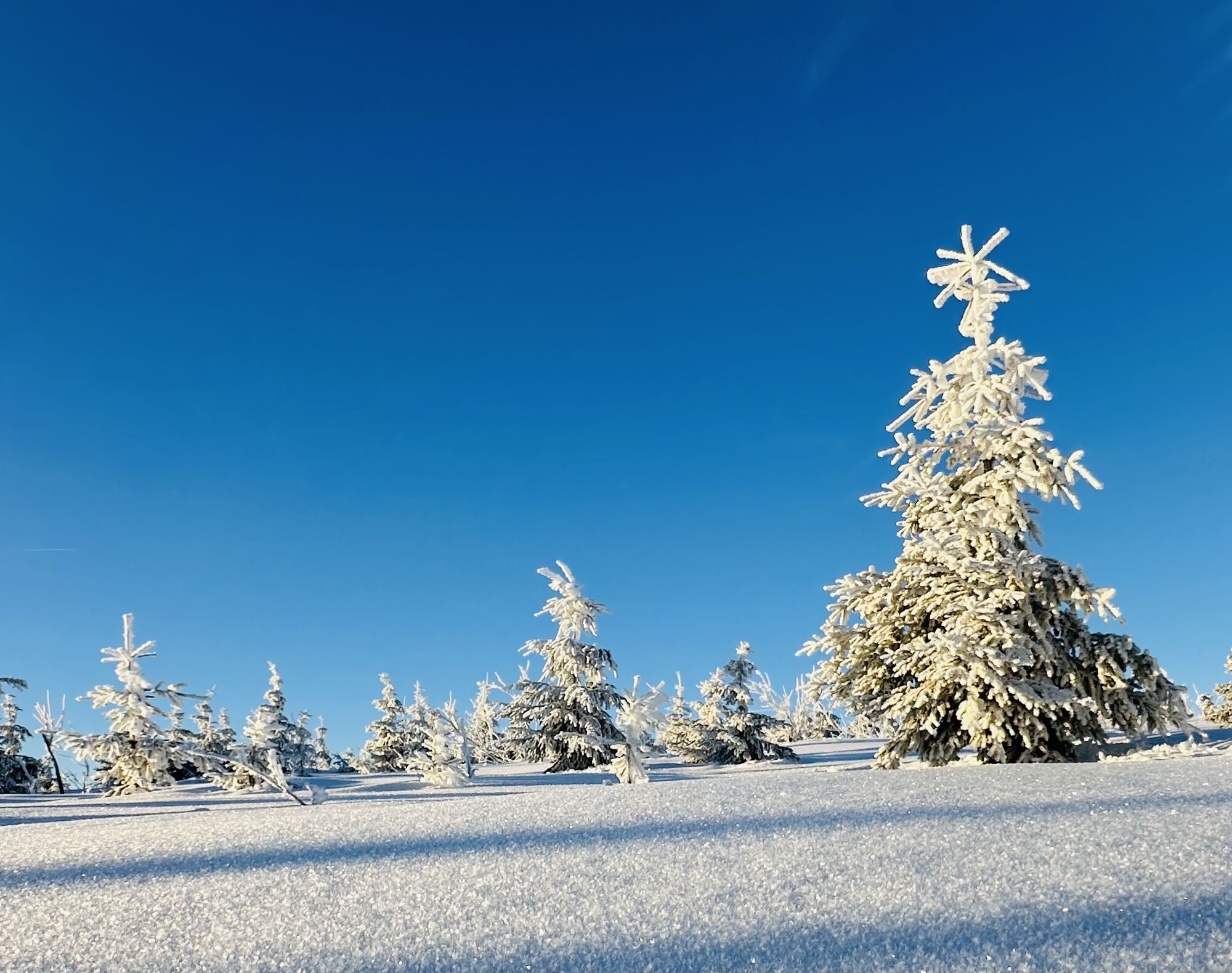
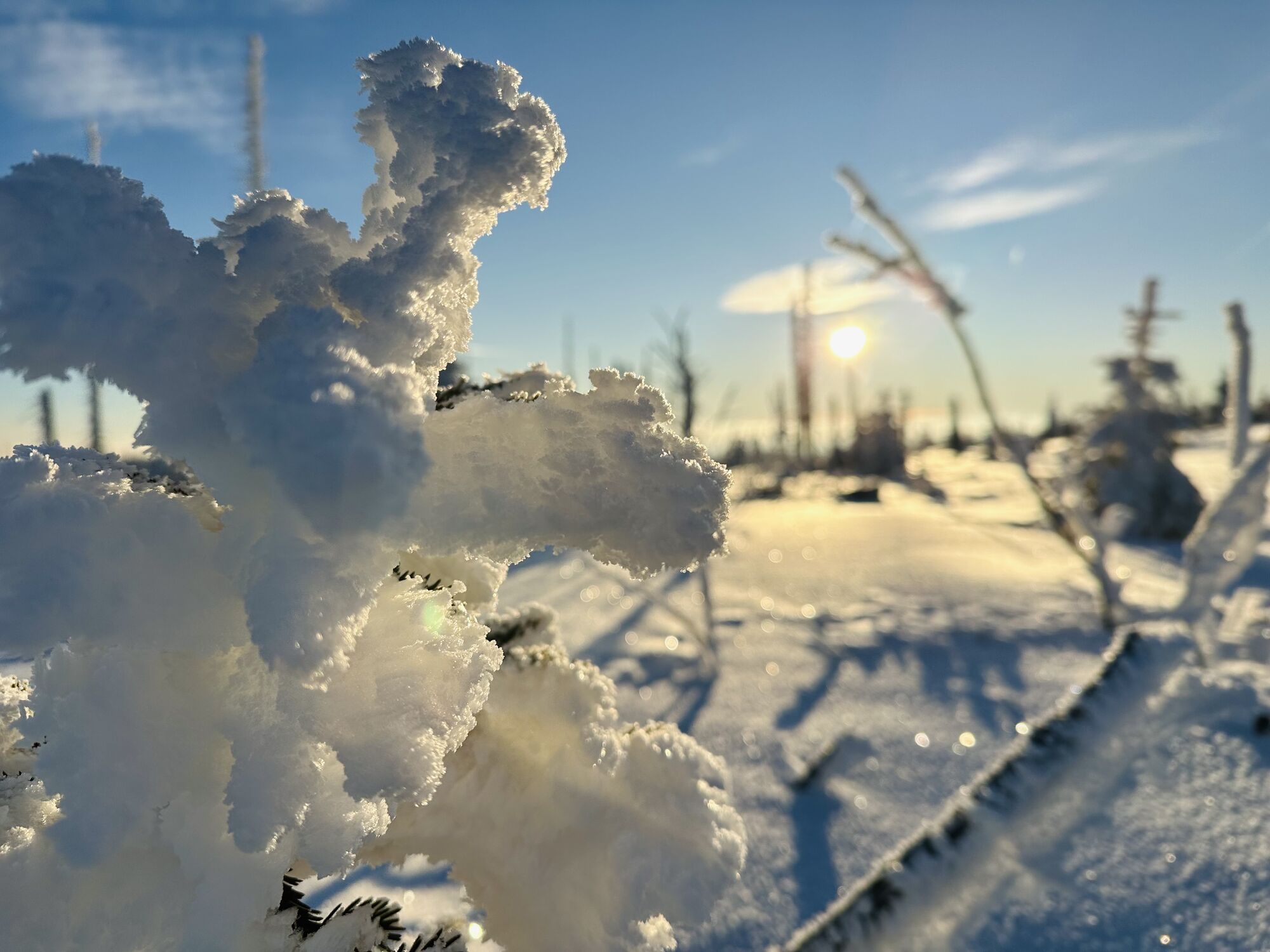
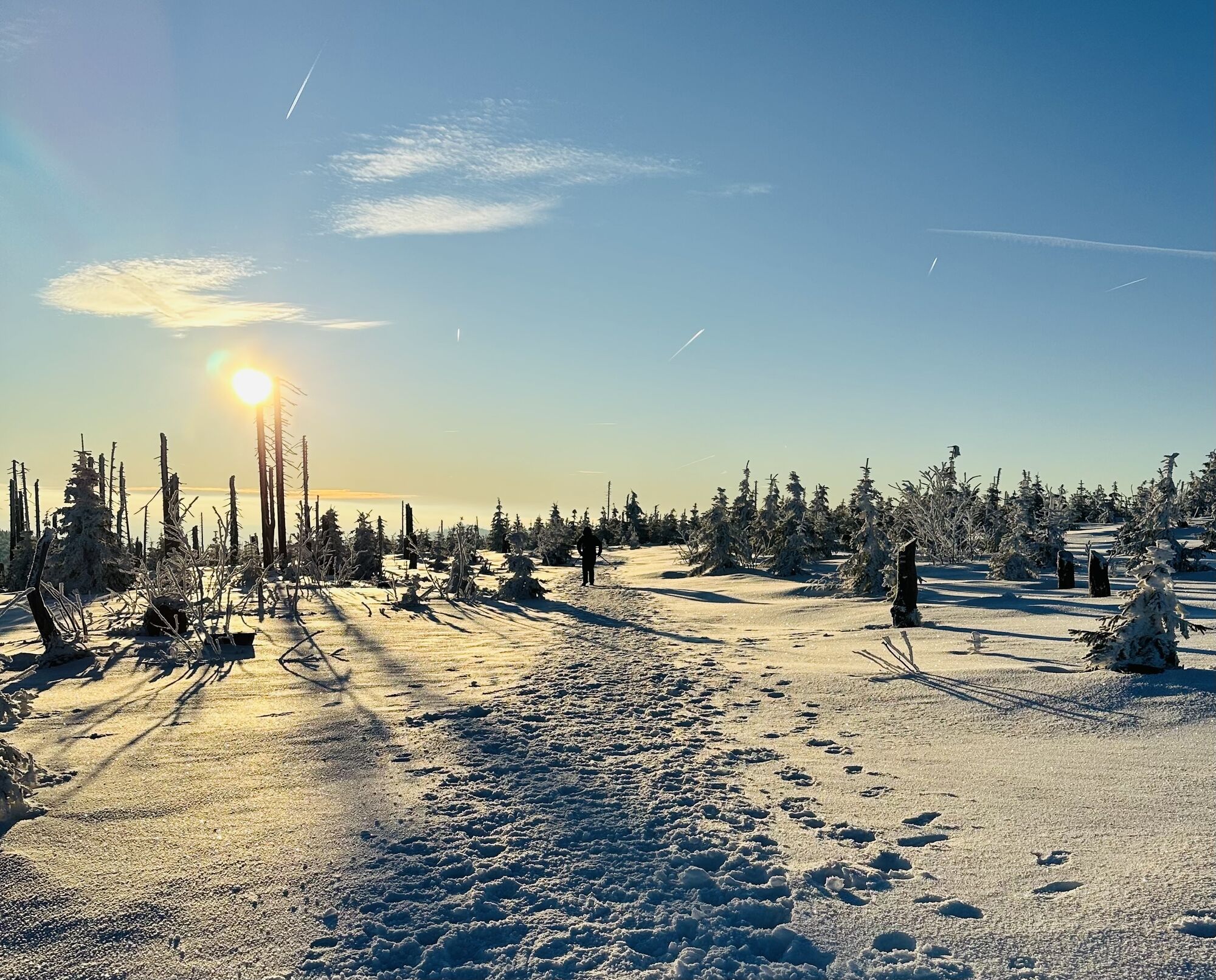
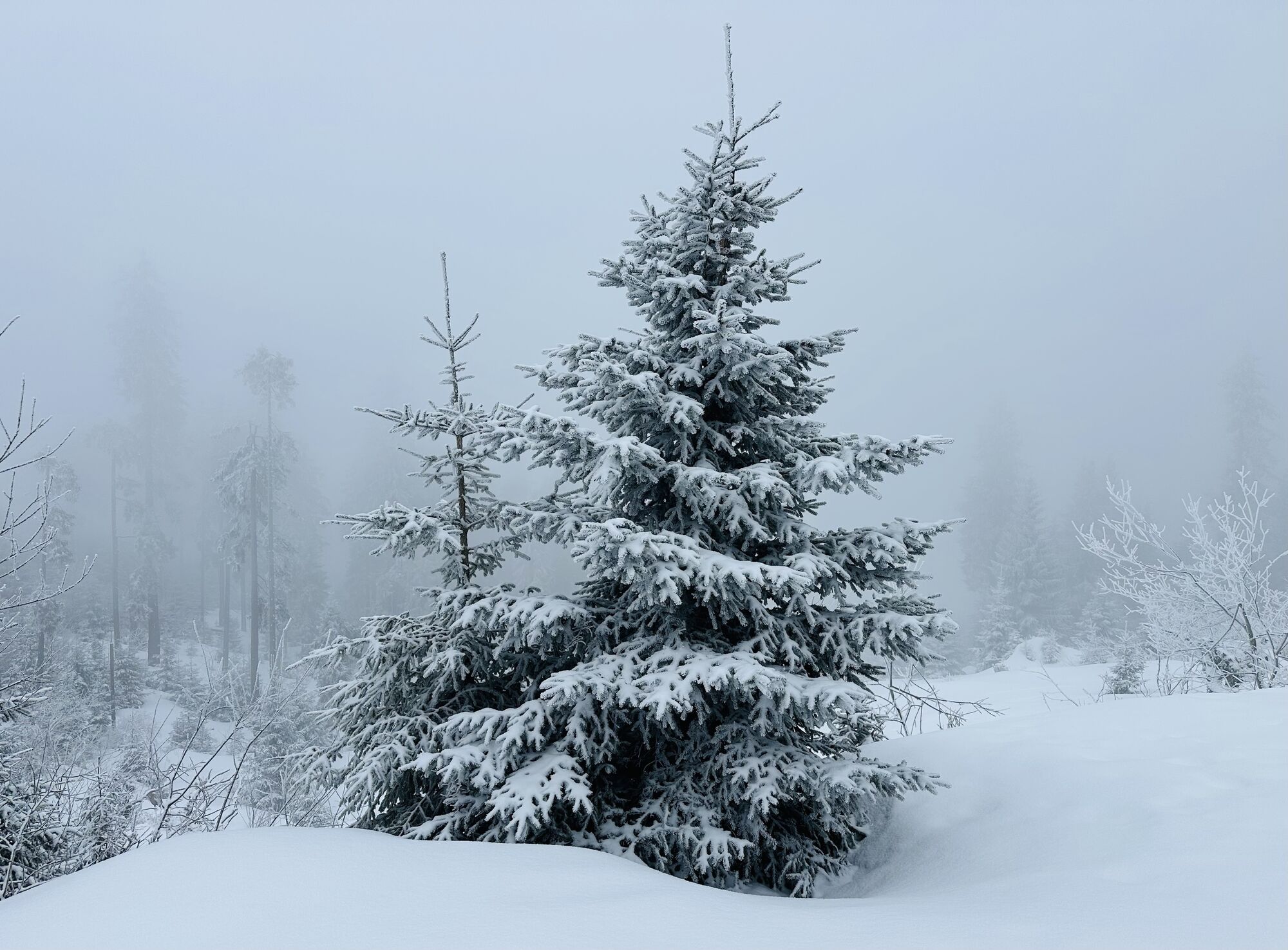
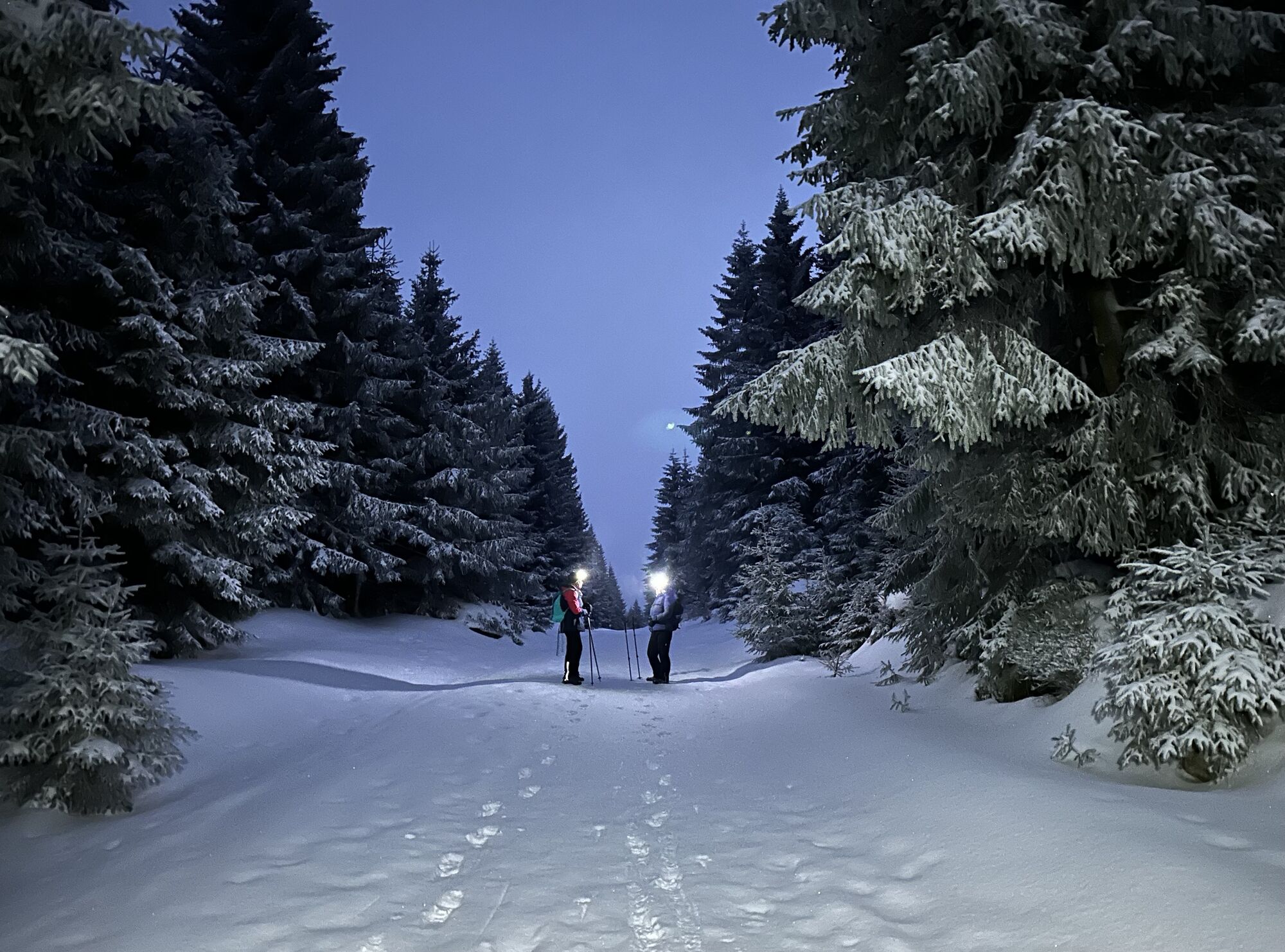
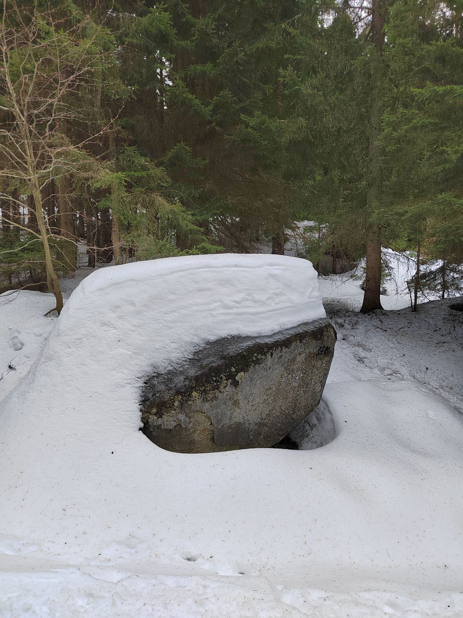
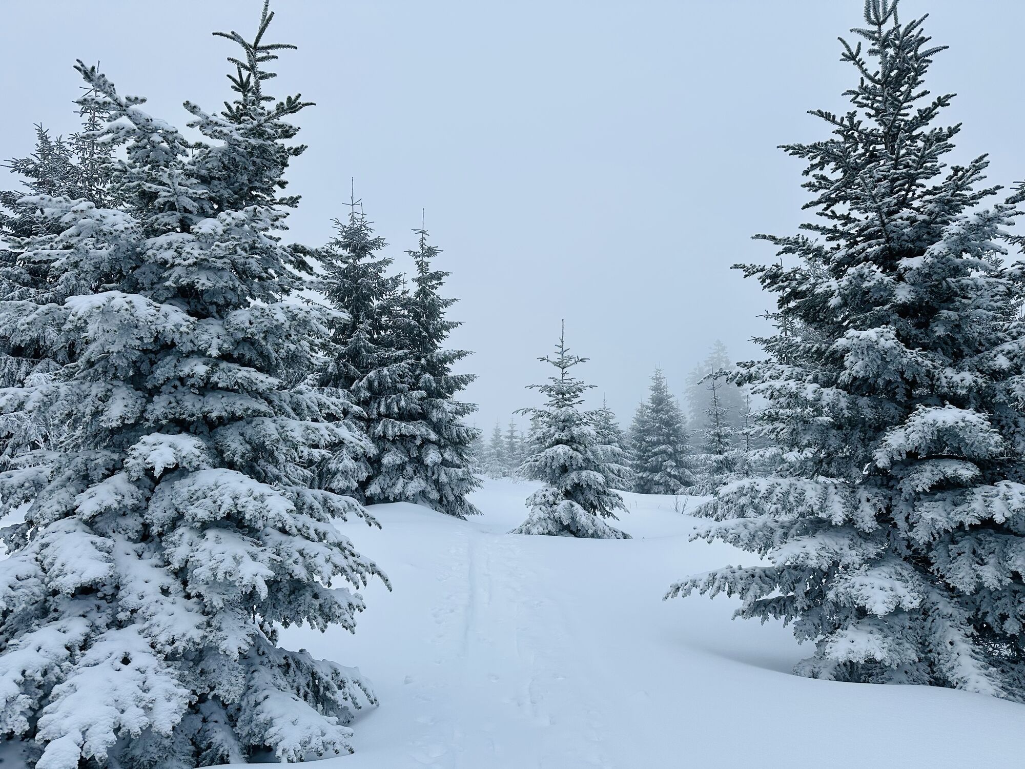
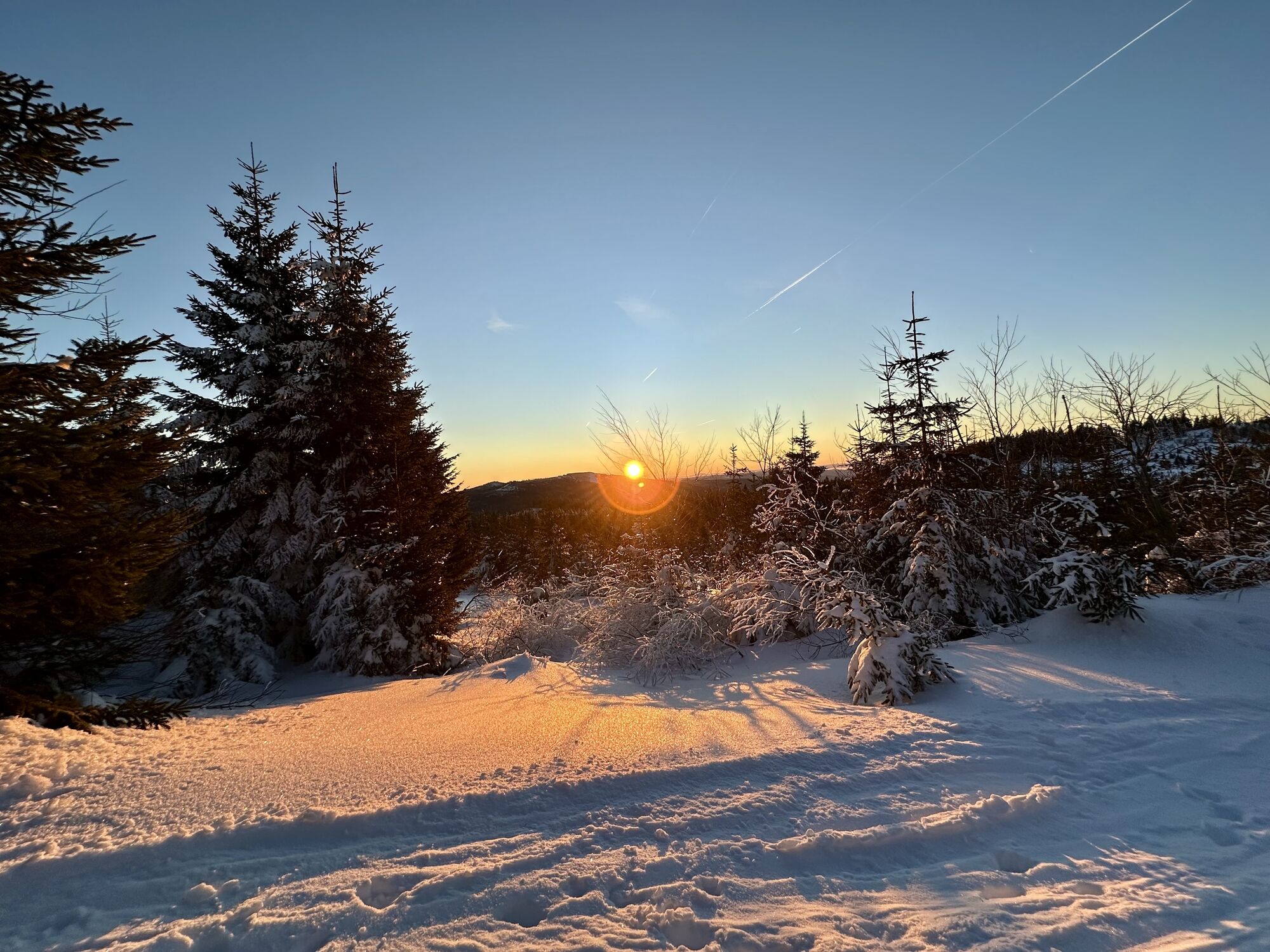
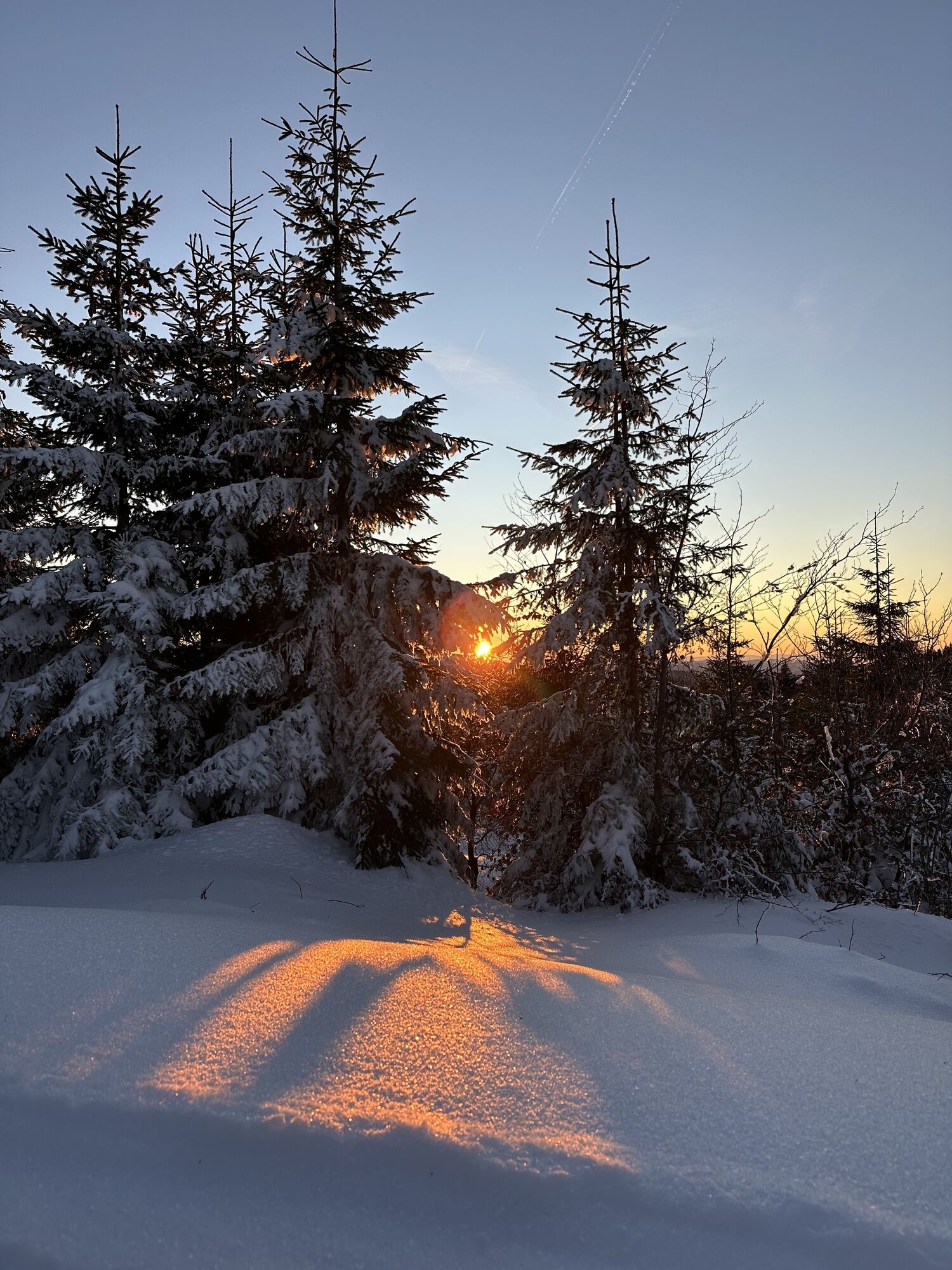
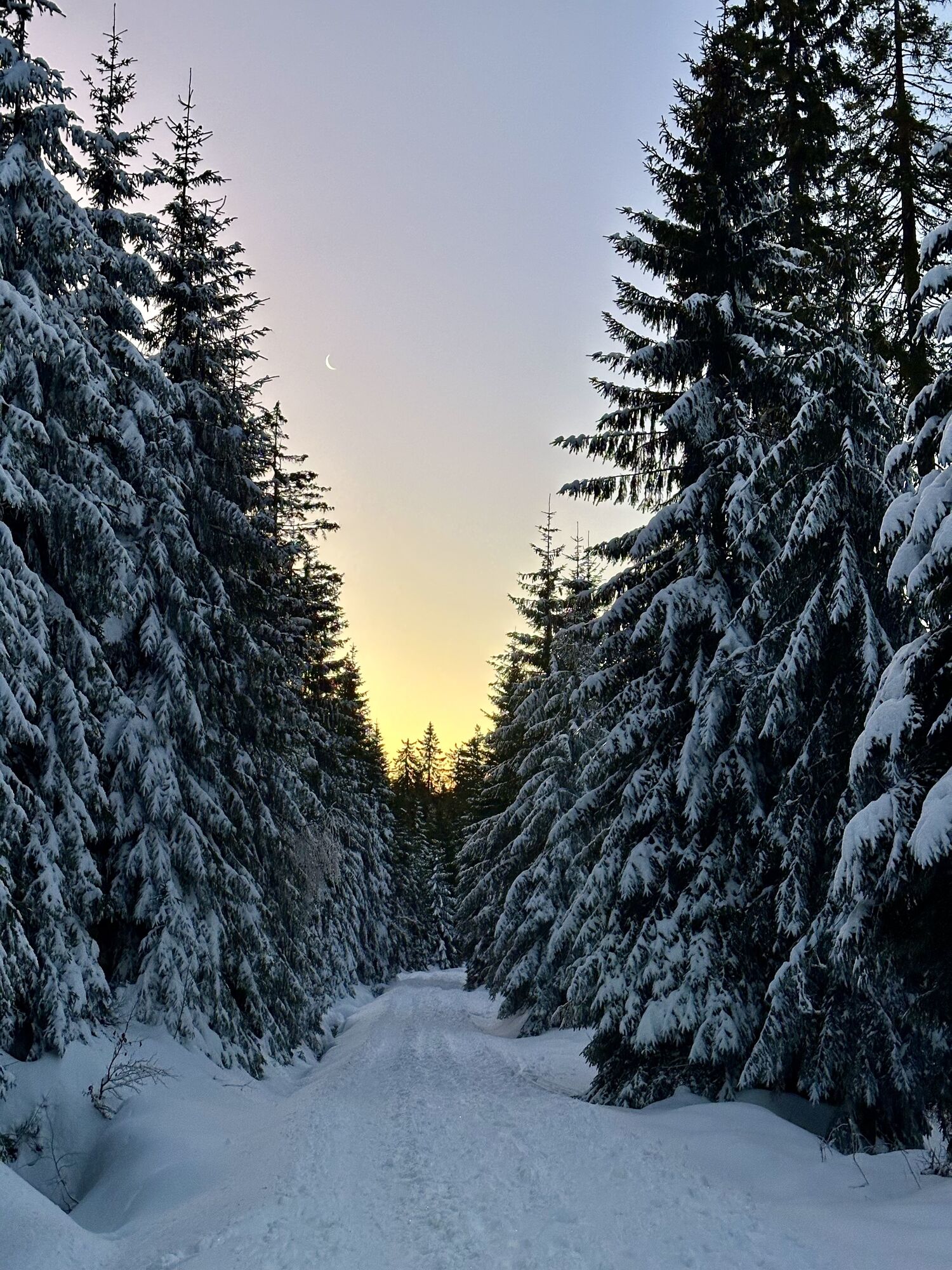
0 km Starting from the parking lot in the center of Schwarzenberg, turn right onto the Schwarzenberg Landesstraße for approx. 50 m. After 1.8 km, turn off parallel to the existing R27 provincial cycle...
Opis
0 km Starting from the parking lot in the center of Schwarzenberg, turn right onto the Schwarzenberg Landesstraße for approx. 50 m. After 1.8 km, turn off parallel to the existing R27 provincial cycle path in the direction of...
5.5 km Klein Holzschlag (forest road). From here it goes downhill to the Zwieselberg valley station, where after a short "uphill section" along the Rehberglift, you turn left again onto the ...
6 km forest road. Follow this road in the direction of the border crossing 1/10.
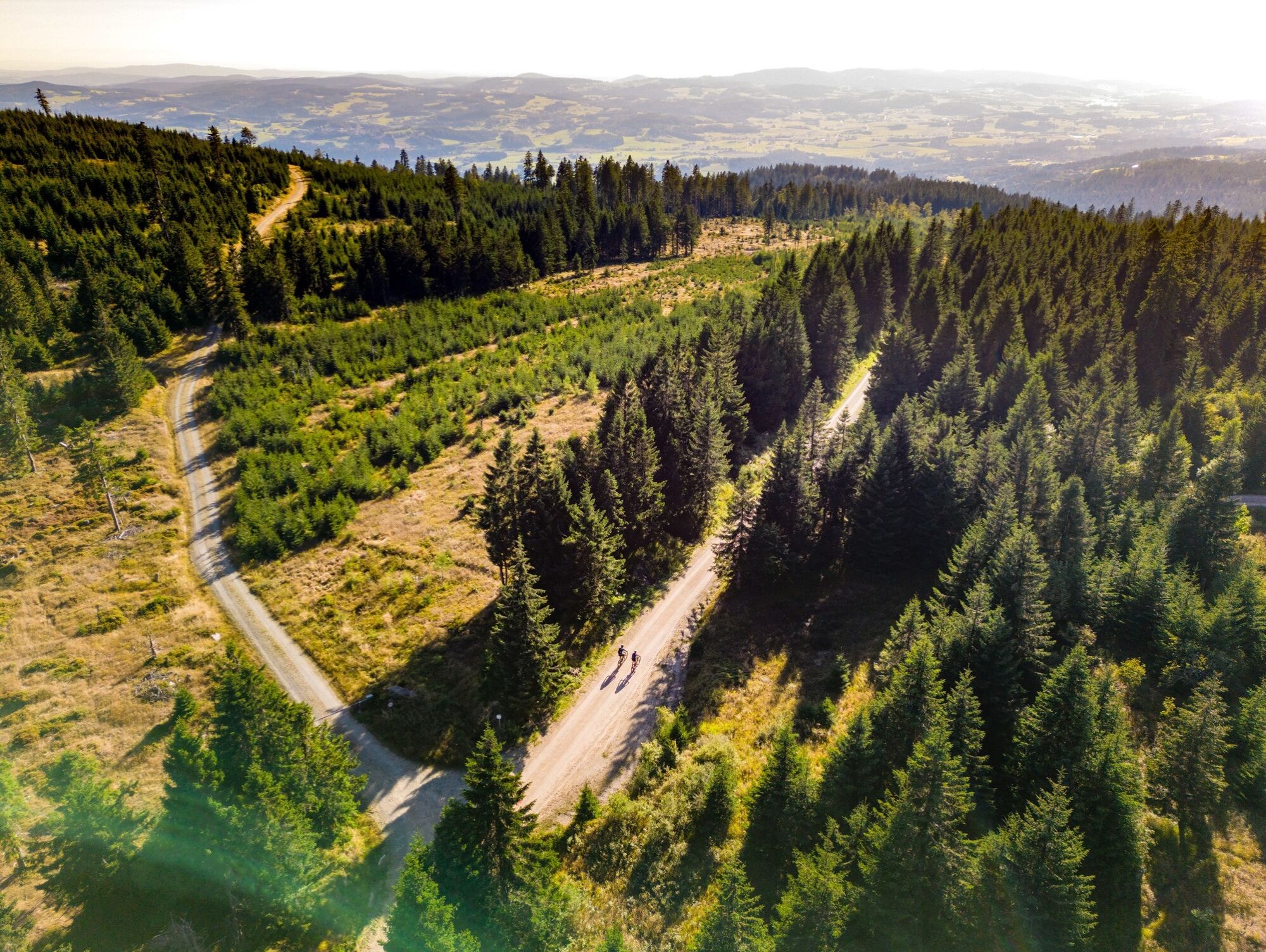
9.3 km Immediately before the hut at border crossing 1/10, continue left along the forest road. Shortly afterwards, take the right-hand branch. The route now heads uphill to the...
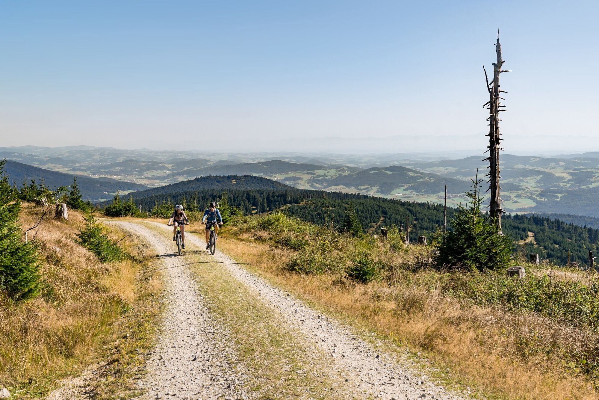
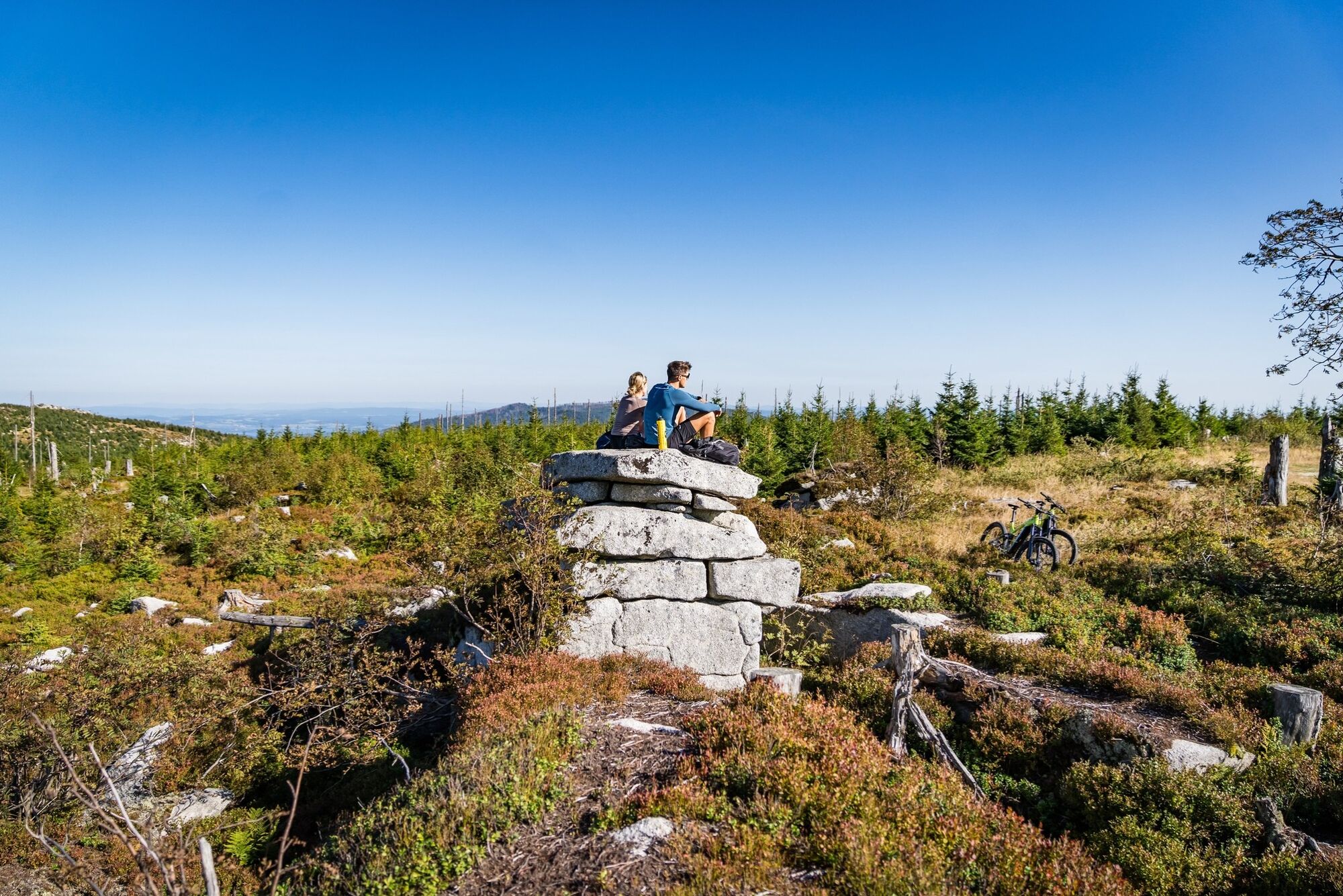
14.2 km Hufberg viewing point. From here, ride downhill to the Hufberg hairpin bend (take care!) and continue along the forest road.
17.8 km After the hiking trail junction to Teufelsschüssel , do not overlook the turn-off to the right. Shortly afterwards, the forest road leads steeply downhill. After approx. 1 km you reach the parking lot at the edge of the forest. Follow the goods road until you reach...
20 km Oberschwarzenberg and then take the asphalt road back to Schwarzenberg.
22.9 km Starting point Schwarzenberg am Böhmerwald.
Ask for our cycle map for EUR 3.00!
You can use the free outdooractive app to navigate the route.
5.5 km Klein Holzschlag (forest road). From here it goes downhill to the Zwieselberg valley station, where after a short "uphill section" along the Rehberglift, you turn left again onto the ...
6 km forest road. Follow this road in the direction of the border crossing 1/10.
9.3 km Immediately before the hut at border crossing 1/10, continue left along the forest road. Shortly afterwards, take the right-hand branch. The route now heads uphill to the...
14.2 km Hufberg viewing point. From here, ride downhill to the Hufberg hairpin bend (take care!) and continue along the forest road.
17.8 km After the hiking trail junction to Teufelsschüssel , do not overlook the turn-off to the right. Shortly afterwards, the forest road leads steeply downhill. After approx. 1 km you reach the parking lot at the edge of the forest. Follow the goods road until you reach...
20 km Oberschwarzenberg and then take the asphalt road back to Schwarzenberg.
22.9 km Starting point Schwarzenberg am Böhmerwald.
Ask for our cycle map for EUR 3.00!
You can use the free outdooractive app to navigate the route.
Trasa
Schwarzenberg am Böhmerwald
(739 m)
Dedina
0,0 km
Hufberg
(1 378 m)
Summit
14,1 km
Mandis Oase
(889 m)
Reštaurácia
20,5 km
Oberschwarzenberg
(882 m)
Zúčtovanie
20,6 km
Glashüttenkapelle
(876 m)
Miesto uctievania
20,8 km
Gasthof Dreiländereck
(866 m)
Reštaurácia
20,9 km
Hotel Bergkristall
(734 m)
Reštaurácia
22,7 km
Trasa
Hochwald mountain bike route
stredná
Mountainbike
22,90
km
Schwarzenberg am Böhmerwald
(739 m)
Dedina
0,0 km
Hufberg
(1 378 m)
Summit
14,1 km
Mandis Oase
(889 m)
Reštaurácia
20,5 km
Oberschwarzenberg
(882 m)
Zúčtovanie
20,6 km
Glashüttenkapelle
(876 m)
Miesto uctievania
20,8 km
Gasthof Dreiländereck
(866 m)
Reštaurácia
20,9 km
Hotel Bergkristall
(734 m)
Reštaurácia
22,7 km
Schwarzenberg am Böhmerwald
(739 m)
Dedina
22,9 km
Autor
Poskytuje Destination Mühlviertel
Prehliadku Hochwald mountain bike route zabezpečuje outdooractive.com.


Oceňovanie

Webové kamery z prehliadky
-
Klaffer am Hochficht
-
Klaffer am Hochficht
-
Hochficht Arena
-
Hochficht Arena
-
Hochficht Arena
-
Hochficht Arena
-
Klaffer am Hochficht
-
Klaffer am Hochficht
-
Klaffer am Hochficht
-
Schöneben - Nordisches Zentrum Böhmerwald
-
Dreisesselschutzhaus
-
Dreisesselschutzhaus
-
Dreisesselschutzhaus
-
Schwarzenbergbahn Talstation
-
Lackenhäuser
-
Klaffer am Hochficht/ Fleckberg

Všetky webové kamery na mape
Nainštaluj si aplikáciu zadarmo a porovnaj živé zábery z viacerých miest, než vyrazíš.
Využite službu „ bergfex “ už teraz v aplikácii
Naskenuj QR kód pomocou fotoaparátu
Ak máte aplikáciu nainštalovanú, obsah sa otvorí priamo. Ak aplikáciu ešte nemáte, budete presmerovaní na stránku, kde si ju môžete bezplatne stiahnuť.
Obľúbené výlety v okolí
-
3,9
Wanderung Dreisessel - Steinernes Meer - Dreiländereck Bayerischer Wald
Turistika 7,17 km -
4,8
Bärenstein Wilson Holz Rundtour
svetloTuristika 12,9 km -
4,8
Plöckenstein-Runde mit Dreisessel
strednáHorská turistika 14,5 km -
4,3
Plöckenstein Runde
strednáTuristika 11,2 km -
3,9
Moldaublick und Alpenblick im Böhmerwald
svetloTuristika 6,47 km -
4,4
Böhmischer Traum mit Schwemmkanalrunde
strednáE-MTB 67,7 km -
4,0
Bärensteinrunde
svetloHorská turistika 3,20 km -
4,5
Moldaustausee Radroute Nr.800
strednáCyklistika 41,6 km -
3,7
Wanderung zum Plöckensteiner See/Tschechien
Turistika 13,3 km -
4,2
Hochficht Gipfel Rundweg / Oberösterreich/Österreich
strednáHorská turistika 10,5 km
Turistika a stopovanie

Viac ako 550.000 návrhov výletov, podrobné mapy a intuitívny plánovač trás robia z aplikácie povinnú výbavu pre všetkých nadšencov prírody.

Nenechajte si ujsť ponuky a inšpiráciu na ďalšiu dovolenku
Prihlásiť sa k odberu noviniek
Chyba
Vyskytla sa chyba. Prosím, skúste to znova.
Ďakujeme za vašu registráciu
Vaša e-mailová adresa bol pridaný do poštového zoznamu.
Zájazdy po celej Európe
Rakúsko
Švajčiarsko
Nemecko
Taliansko
Slovinsko
Francúzsko
Holandsko
Belgicko
Poľsko
Lichtenštajnsko
Česko
Slovensko
španielsko
Hrvaška
Bosna a Hercegovina
Luxembursko
Andorra
Portugalsko
Island
Spojené kráľovstvo
Írsko
Grécko
Albánsko
Severné Macedónsko
Malta
Nórsko
Čierna Hora
Moldavsko
Kosovo
Maďarsko
San Maríno
Rumunsko
Estónsko
Lotyšsko
Bielorusko
Cyprus
Litva
Srbsko
Bulharsko
Monako
Dánsko
Švédsko
Fínsko





