
112 Tragwein round
stredná
Získajte túto prehliadku v mobilnom telefóne
112 Tragwein round
stredná
Mountainbike
32,59
km
Naskenujte kód QR a spustite navigáciu v aplikácii bergfex


Turistika a stopovanie



112 Tragwein round
stredná
Vzdialenosť
32,6
km
Trvanie
02:52
h
Ascent
794
hm
Hladina mora
306 -
651
m

Naviguj sa počas prehliadky v aplikácii
Nainštalujte si aplikáciu zadarmo a sledujte trasu vďaka GPS navigácii a sledovaniu polohy.
Využite službu „ bergfex “ už teraz v aplikácii
Naskenuj QR kód pomocou fotoaparátu
Ak máte aplikáciu nainštalovanú, obsah sa otvorí priamo. Ak aplikáciu ešte nemáte, budete presmerovaní na stránku, kde si ju môžete bezplatne stiahnuť.
Stiahnutie skladby
112 Tragwein round
stredná
Mountainbike
32,59
km


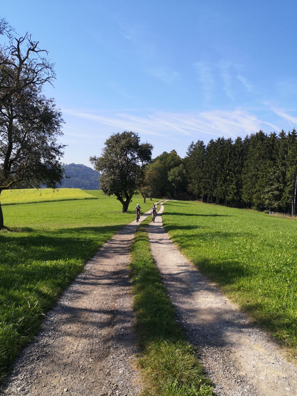
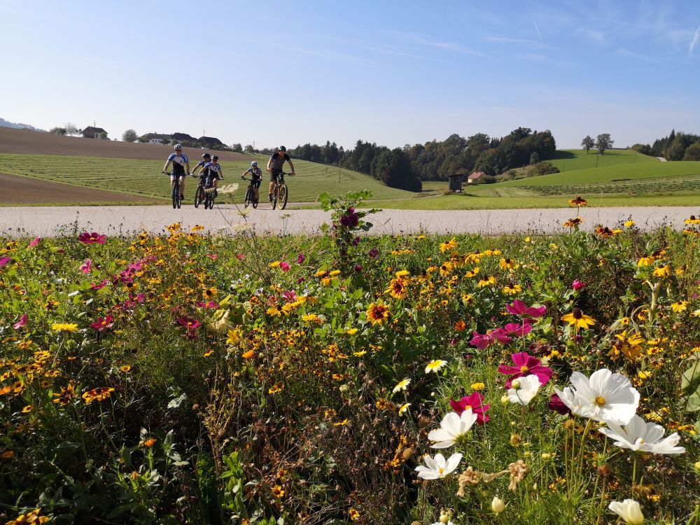
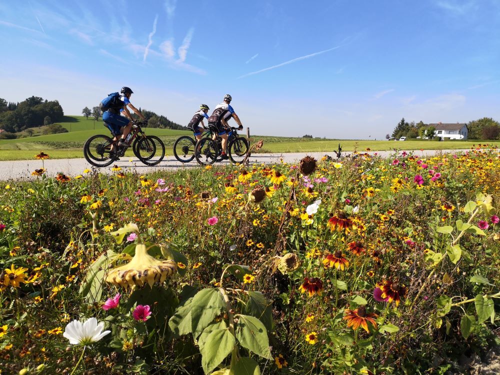
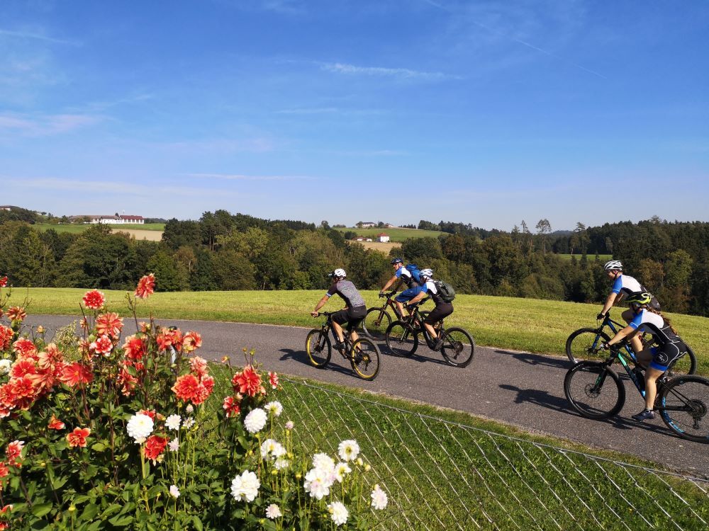
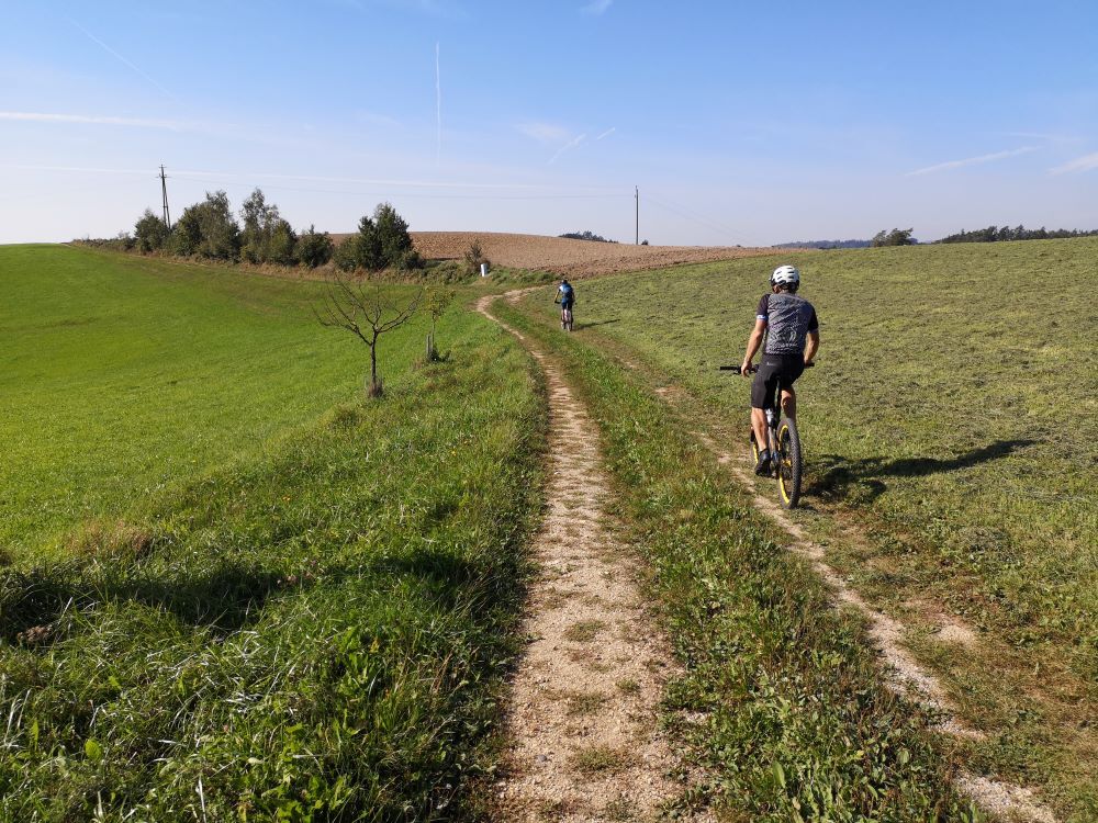
You cycle up from a valley to Fraundorf on varied paths, use the country road for a short stretch and then hurtle down the next descent on gravel.
From Schedlberg, you now have to master the first long...
Opis
You cycle up from a valley to Fraundorf on varied paths, use the country road for a short stretch and then hurtle down the next descent on gravel.
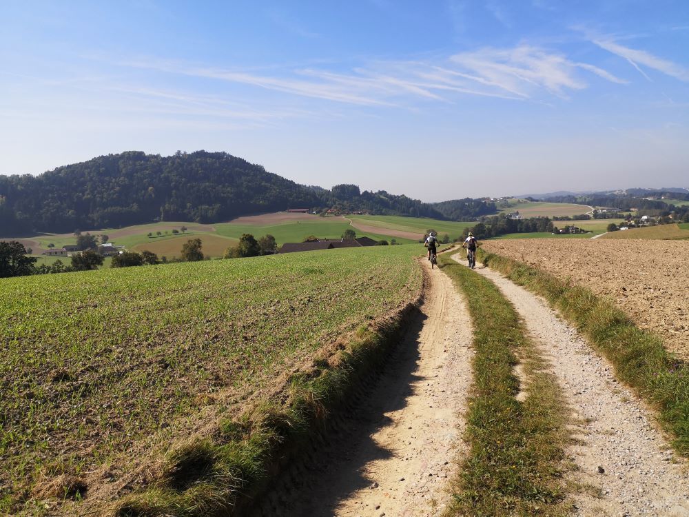
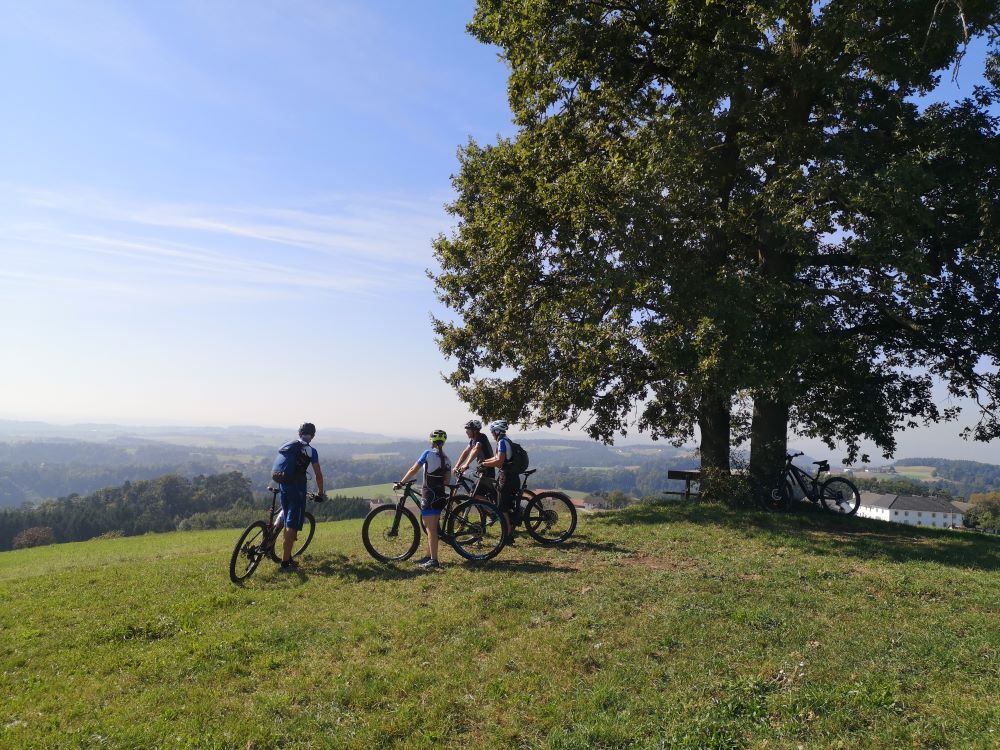
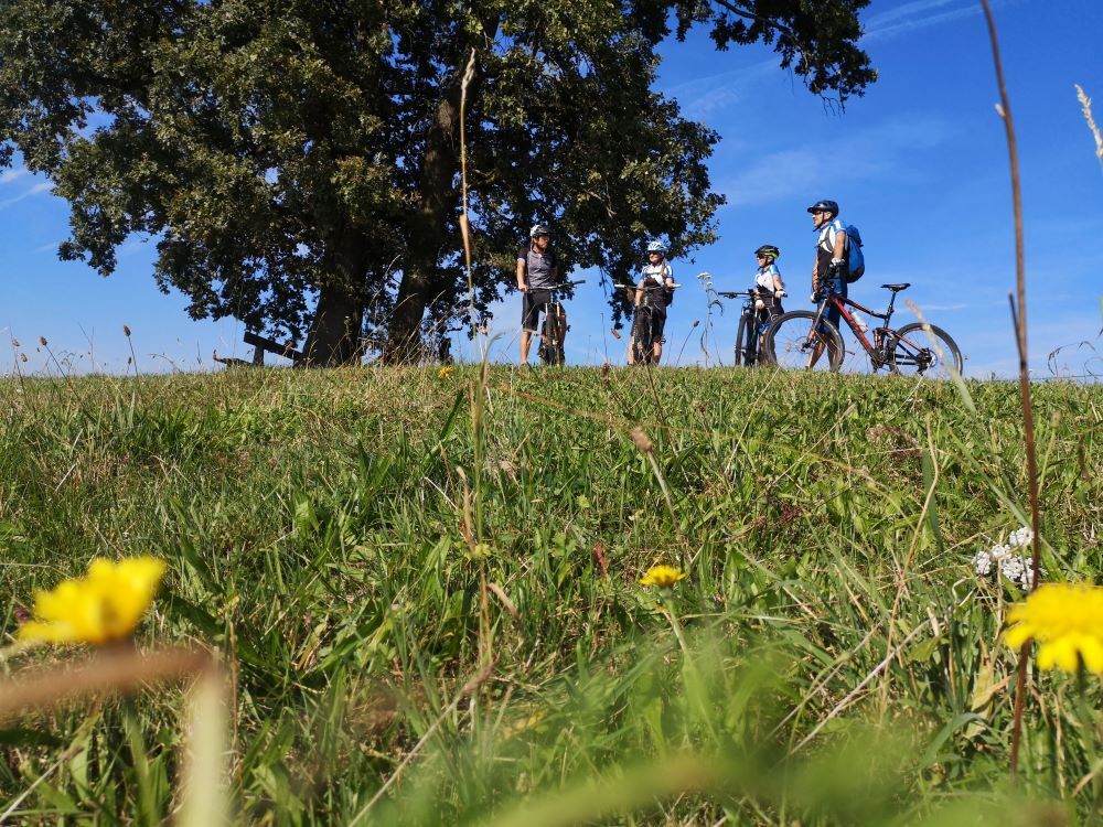
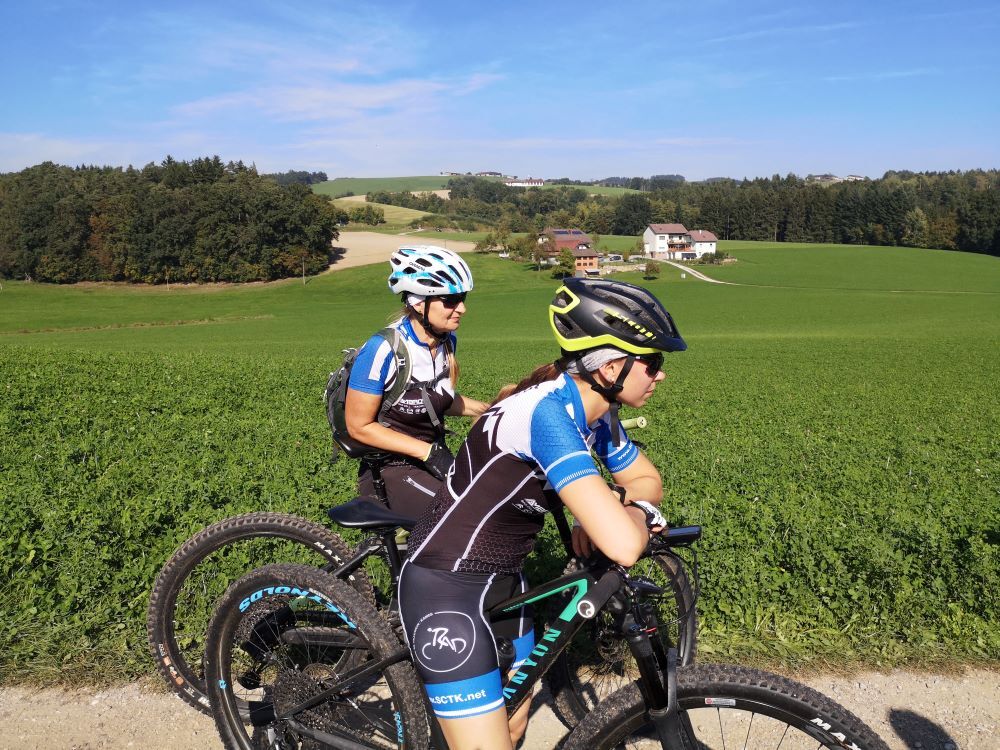
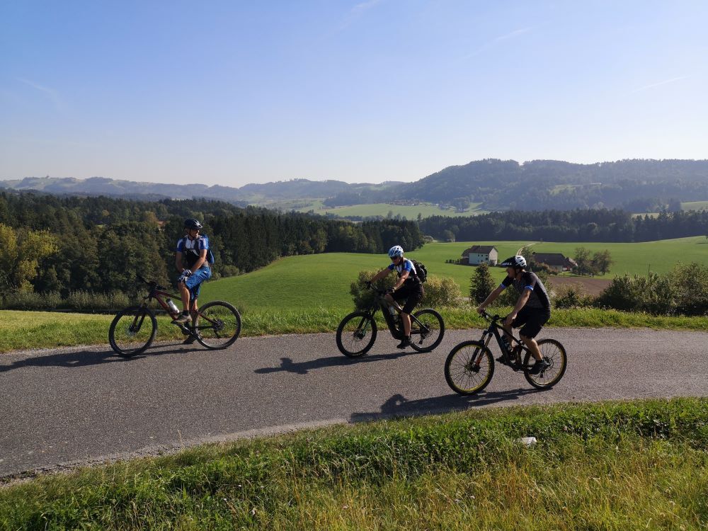
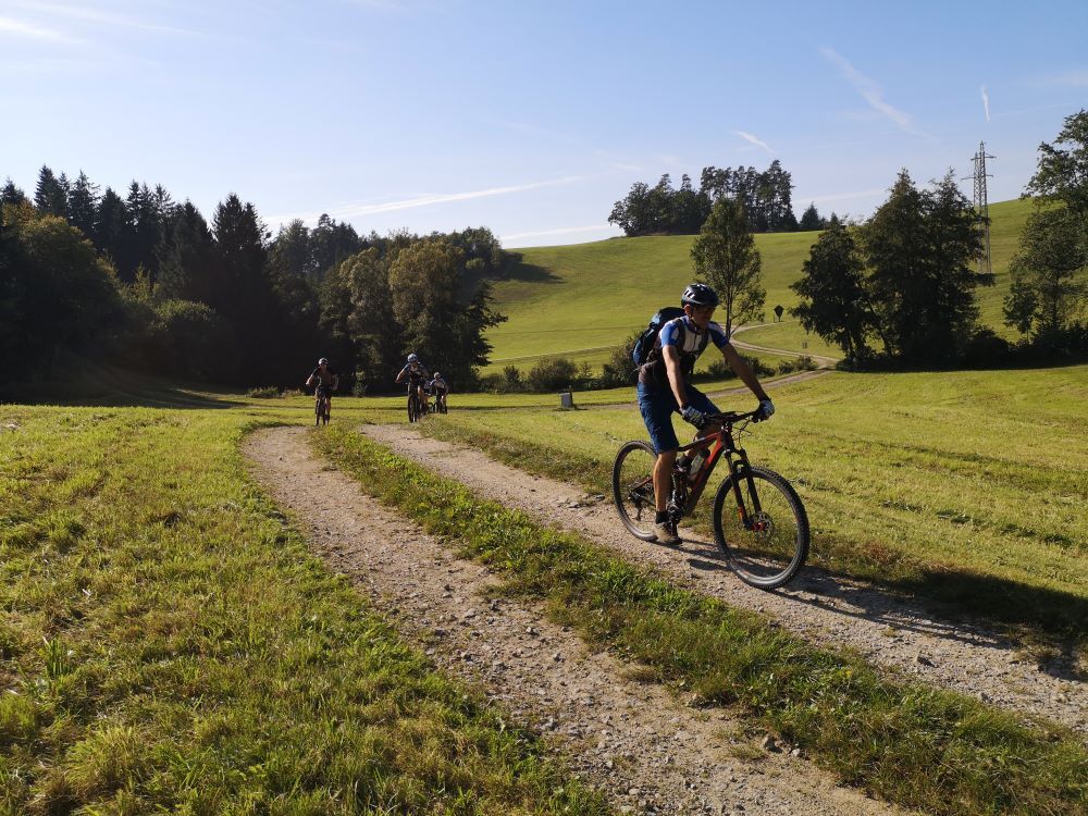
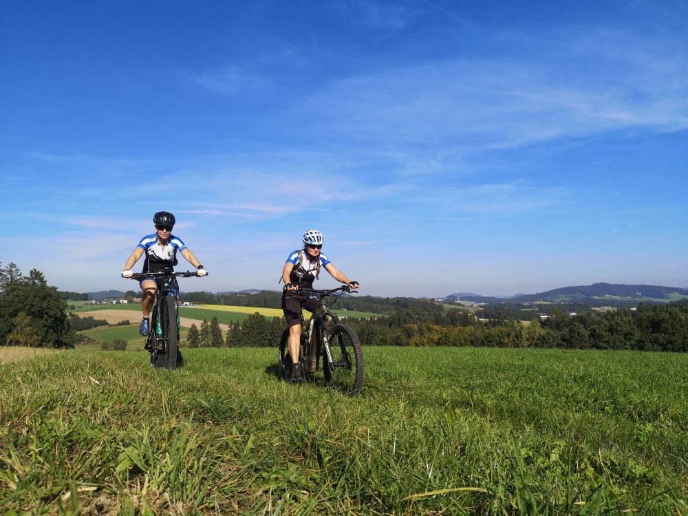
From Schedlberg, you now have to master the first long climb, with around 150 meters of altitude to overcome, but you are rewarded with a stunning view of the mountains and a magnificent trail descent down into the Aisttal valley.
Past Hohensteg, a beautiful path leads up to Mistlberg, right next to the Edelbrennerei Moser distillery, a must for connoisseurs!
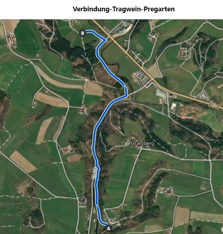
(Tip: A connecting route between Tragwein and the Pregarten loop leads from Hohensteg along the Aistweg. Halfway along the route, you cross the wooden bridge and follow the old Aisttal road towards Meitschenhof to the junction of the Pregartner Runde. This makes it possible to switch to the mountain bike route from Pregarten Tour No. 113).
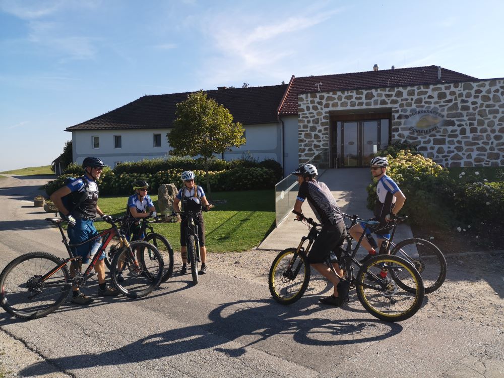
The route continues briskly, always peppered with crisp climbs towards the highest point of the tour, where you can fortify yourself for the last few kilometers with hearty to sweet doughnut variations at the Bauernkrapfen-Schleiferei.
If you are too hungry or thirsty, the route takes you past the guest garden of Gasthaus Ratzenböck after just 2.5 km.
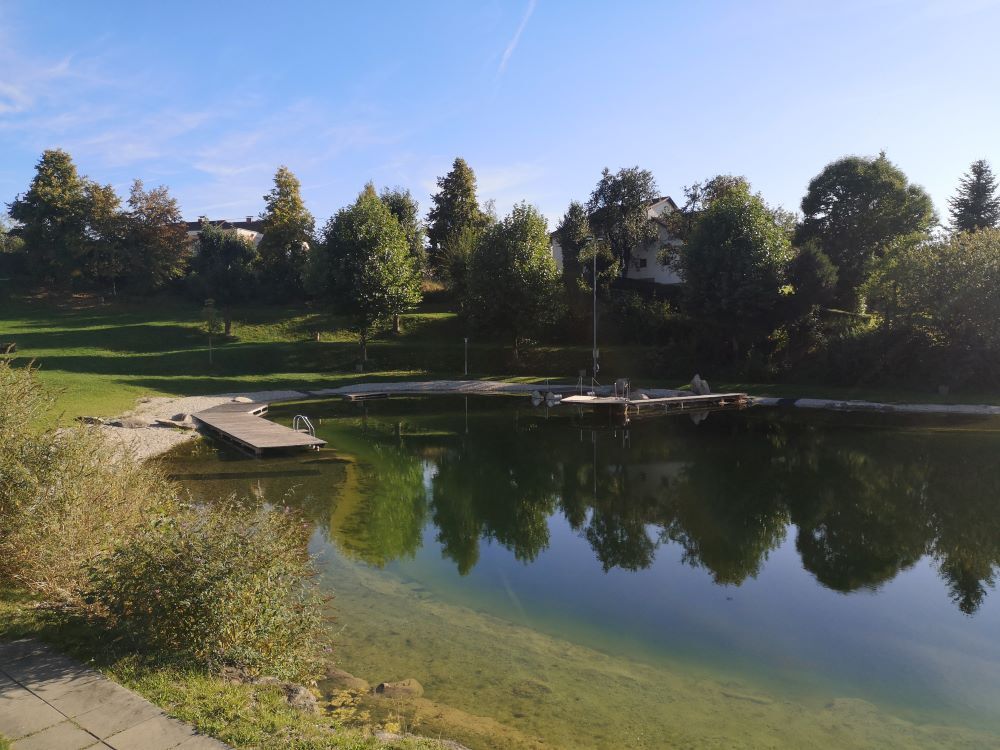
The last few kilometers go by in no time at all, with a constant alternation of different paths and after a final steep climb up to Tragwein, you rush the last few meters past the Tragwein bathing lake back to the starting point.
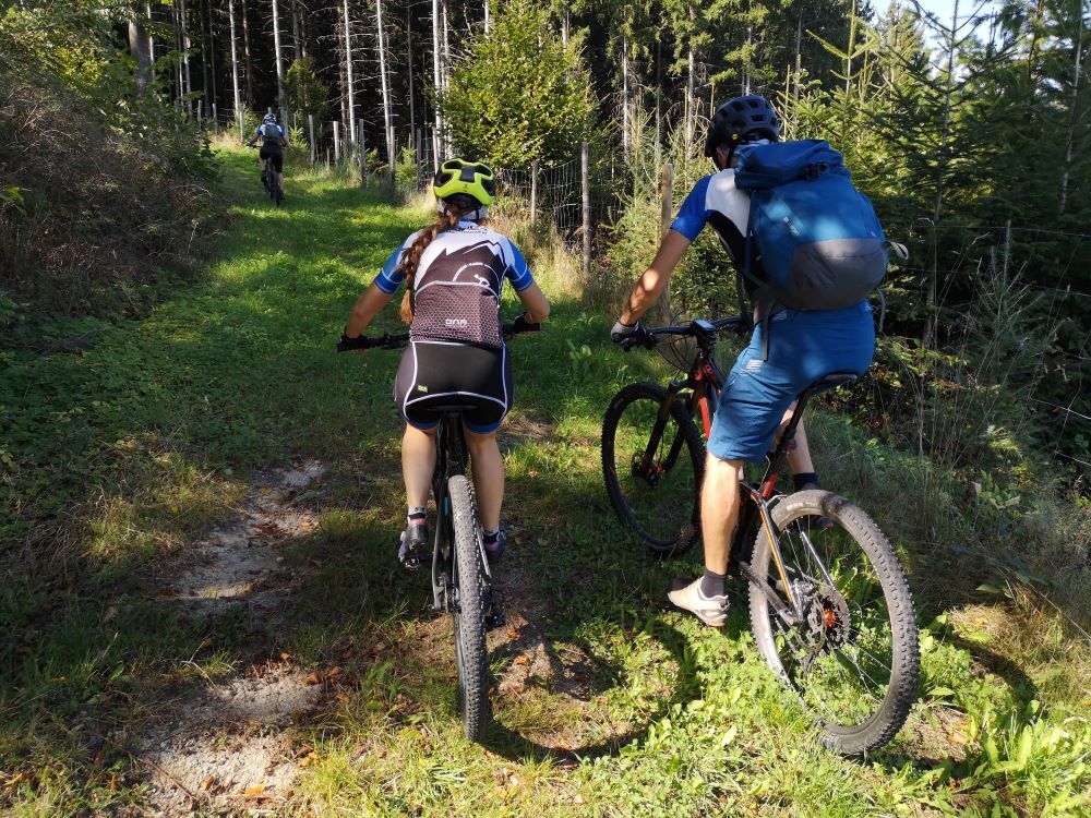
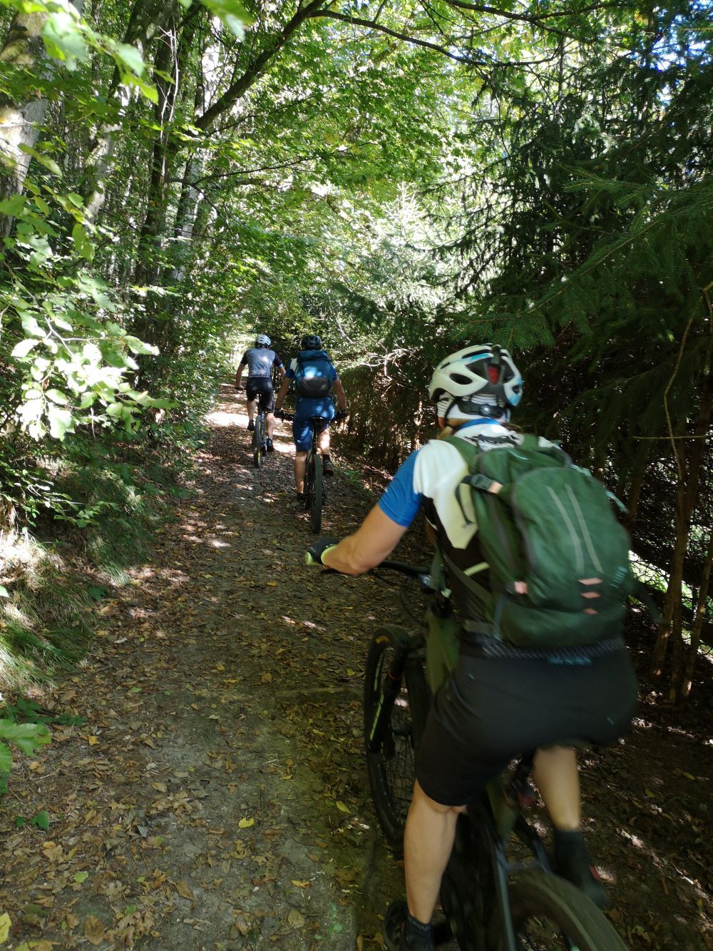
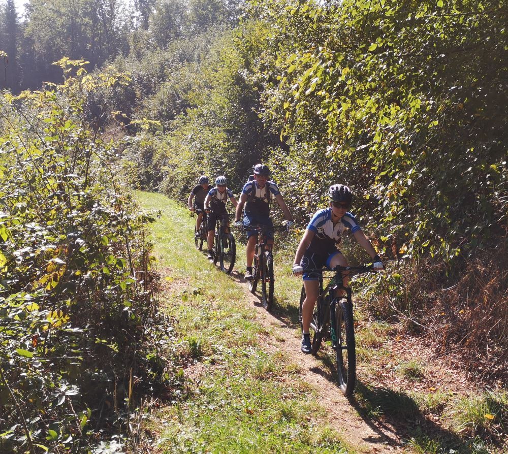
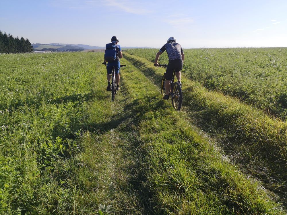
Around 53% of the route is on natural trails, while the remaining 47% is on paved paths and asphalt (20%).
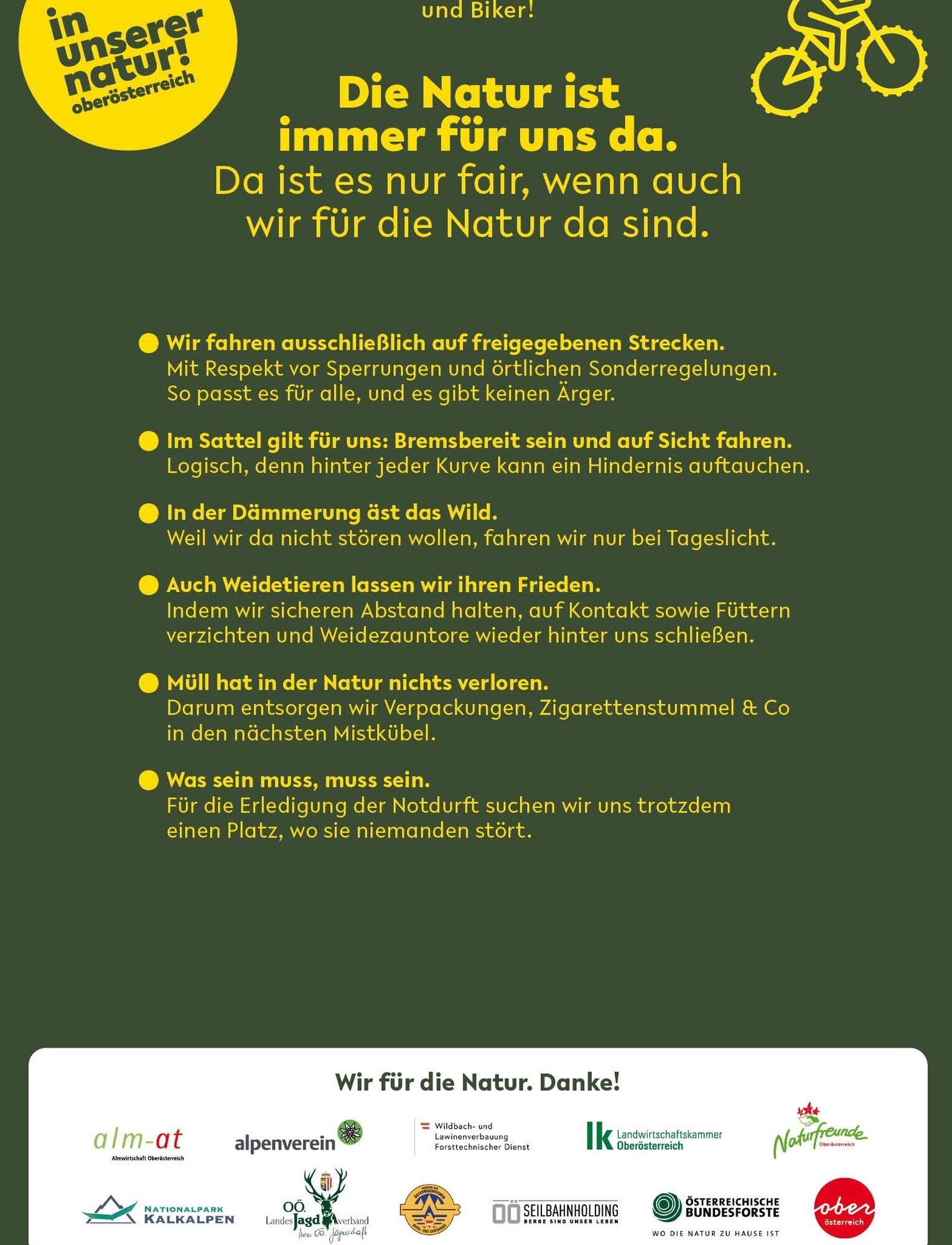
Nature is always there for us. So it is only fair that we are there for nature too.
Please observe the fair play rules for mountain biking!
From Schedlberg, you now have to master the first long climb, with around 150 meters of altitude to overcome, but you are rewarded with a stunning view of the mountains and a magnificent trail descent down into the Aisttal valley.
Past Hohensteg, a beautiful path leads up to Mistlberg, right next to the Edelbrennerei Moser distillery, a must for connoisseurs!
(Tip: A connecting route between Tragwein and the Pregarten loop leads from Hohensteg along the Aistweg. Halfway along the route, you cross the wooden bridge and follow the old Aisttal road towards Meitschenhof to the junction of the Pregartner Runde. This makes it possible to switch to the mountain bike route from Pregarten Tour No. 113).
The route continues briskly, always peppered with crisp climbs towards the highest point of the tour, where you can fortify yourself for the last few kilometers with hearty to sweet doughnut variations at the Bauernkrapfen-Schleiferei.
If you are too hungry or thirsty, the route takes you past the guest garden of Gasthaus Ratzenböck after just 2.5 km.
The last few kilometers go by in no time at all, with a constant alternation of different paths and after a final steep climb up to Tragwein, you rush the last few meters past the Tragwein bathing lake back to the starting point.
Around 53% of the route is on natural trails, while the remaining 47% is on paved paths and asphalt (20%).
Nature is always there for us. So it is only fair that we are there for nature too.
Please observe the fair play rules for mountain biking!
Trasa
Pfarrkirche hl. Peter und Paul
(491 m)
Miesto uctievania
0,2 km
Fraundorf
(419 m)
Dedina
2,7 km
Hohensteg
(322 m)
Dedina
10,3 km
Mistlberg
(452 m)
Dedina
13,8 km
Hinterberg
(628 m)
Zúčtovanie
22,8 km
Lugendorf
(562 m)
Dedina
27,7 km
Pfarrkirche hl. Peter und Paul
(491 m)
Miesto uctievania
32,3 km
Trasa
112 Tragwein round
stredná
Mountainbike
32,59
km
Pfarrkirche hl. Peter und Paul
(491 m)
Miesto uctievania
0,2 km
Tragwein
(491 m)
Dedina
0,2 km
Pizzeria Bella Casa
(488 m)
Reštaurácia
0,2 km
Fraundorf
(419 m)
Dedina
2,7 km
Schedlberg
(330 m)
Dedina
4,4 km
Hohensteg
(322 m)
Dedina
10,3 km
Stranzberg
(389 m)
Dedina
11,3 km
Mistlberg
(452 m)
Dedina
13,8 km
Schmierreith
(570 m)
Dedina
19,0 km
Hinterberg
(628 m)
Zúčtovanie
22,8 km
Erdleiten
(602 m)
Zúčtovanie
25,0 km
Lugendorf
(562 m)
Dedina
27,7 km
Pizzeria Bella Casa
(488 m)
Reštaurácia
32,2 km
Pfarrkirche hl. Peter und Paul
(491 m)
Miesto uctievania
32,3 km
Tragwein
(491 m)
Dedina
32,4 km
Autor
Poskytuje Destination Mühlviertel
Prehliadku 112 Tragwein round zabezpečuje outdooractive.com.


Naposledy sledované
Pred 2 týždňami

Oceňovanie


Všetky webové kamery na mape
Nainštaluj si aplikáciu zadarmo a porovnaj živé zábery z viacerých miest, než vyrazíš.
Využite službu „ bergfex “ už teraz v aplikácii
Naskenuj QR kód pomocou fotoaparátu
Ak máte aplikáciu nainštalovanú, obsah sa otvorí priamo. Ak aplikáciu ešte nemáte, budete presmerovaní na stránku, kde si ju môžete bezplatne stiahnuť.
Obľúbené výlety v okolí
-
4,4
Der Naturparkweg in Rechberg
strednáTuristika 7,54 km -
4,6
Schwertberg: Weltstoarunde
strednáTuristika 11,4 km -
4,8
Tragwein - Lebensquell-Runde
svetloTuristika 12,8 km -
4,8
Ruine Prandegg
strednáTuristika 15,6 km -
4,7
Aisttalrundweg + P6
svetloTuristika 9,36 km -
4,6
3Gipfelweg 07 mit Klimaanpassungsthemen
strednáTuristika 21,3 km -
4,4
Wartberg Ob der Aist, Natura Aist Trail Rundwanderung
svetloTuristika 8,37 km -
4,7
Unterweitersdorfer Sagenweg
svetloTuristika 5,87 km -
4,6
Die Blasenstein-Runde, Oberösterreich
strednáTuristika 11,8 km -
4,1
Wanderung Kefermarkt Buchberg
svetloTuristika 8,33 km

Turistika a stopovanie

Viac ako 550.000 návrhov výletov, podrobné mapy a intuitívny plánovač trás robia z aplikácie povinnú výbavu pre všetkých nadšencov prírody.

Nenechajte si ujsť ponuky a inšpiráciu na ďalšiu dovolenku
Prihlásiť sa k odberu noviniek
Chyba
Vyskytla sa chyba. Prosím, skúste to znova.
Ďakujeme za vašu registráciu
Vaša e-mailová adresa bol pridaný do poštového zoznamu.
Zájazdy po celej Európe
Rakúsko
Švajčiarsko
Nemecko
Taliansko
Slovinsko
Francúzsko
Holandsko
Belgicko
Poľsko
Lichtenštajnsko
Česko
Slovensko
španielsko
Hrvaška
Bosna a Hercegovina
Luxembursko
Andorra
Portugalsko
Island
Spojené kráľovstvo
Írsko
Grécko
Albánsko
Severné Macedónsko
Malta
Nórsko
Čierna Hora
Moldavsko
Kosovo
Maďarsko
San Maríno
Rumunsko
Estónsko
Lotyšsko
Bielorusko
Cyprus
Litva
Srbsko
Bulharsko
Monako
Dánsko
Švédsko
Fínsko


