
Gaisberg Runde ab Steinbach
ťažké
Získajte túto prehliadku v mobilnom telefóne
Gaisberg Runde ab Steinbach
ťažké
Mountainbike
56,99
km
Naskenujte kód QR a spustite navigáciu v aplikácii bergfex


Turistika a stopovanie




Gaisberg Runde ab Steinbach
ťažké
Vzdialenosť
57,0
km
Trvanie
07:21
h
Ascent
1 200
hm
Hladina mora
362 -
1 076
m

Naviguj sa počas prehliadky v aplikácii
Nainštalujte si aplikáciu zadarmo a sledujte trasu vďaka GPS navigácii a sledovaniu polohy.
Využite službu „ bergfex “ už teraz v aplikácii
Naskenuj QR kód pomocou fotoaparátu
Ak máte aplikáciu nainštalovanú, obsah sa otvorí priamo. Ak aplikáciu ešte nemáte, budete presmerovaní na stránku, kde si ju môžete bezplatne stiahnuť.
Stiahnutie skladby
Gaisberg Runde ab Steinbach
ťažké
Mountainbike
56,99
km
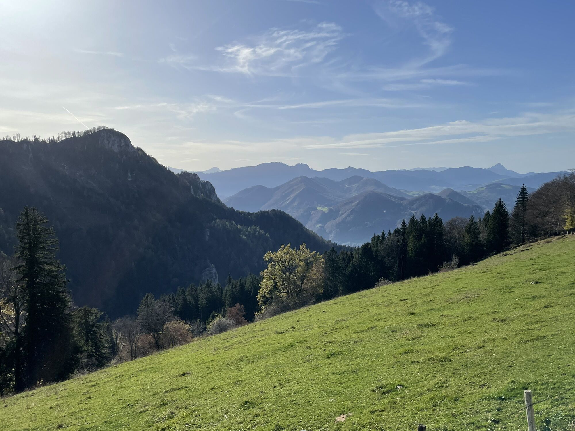
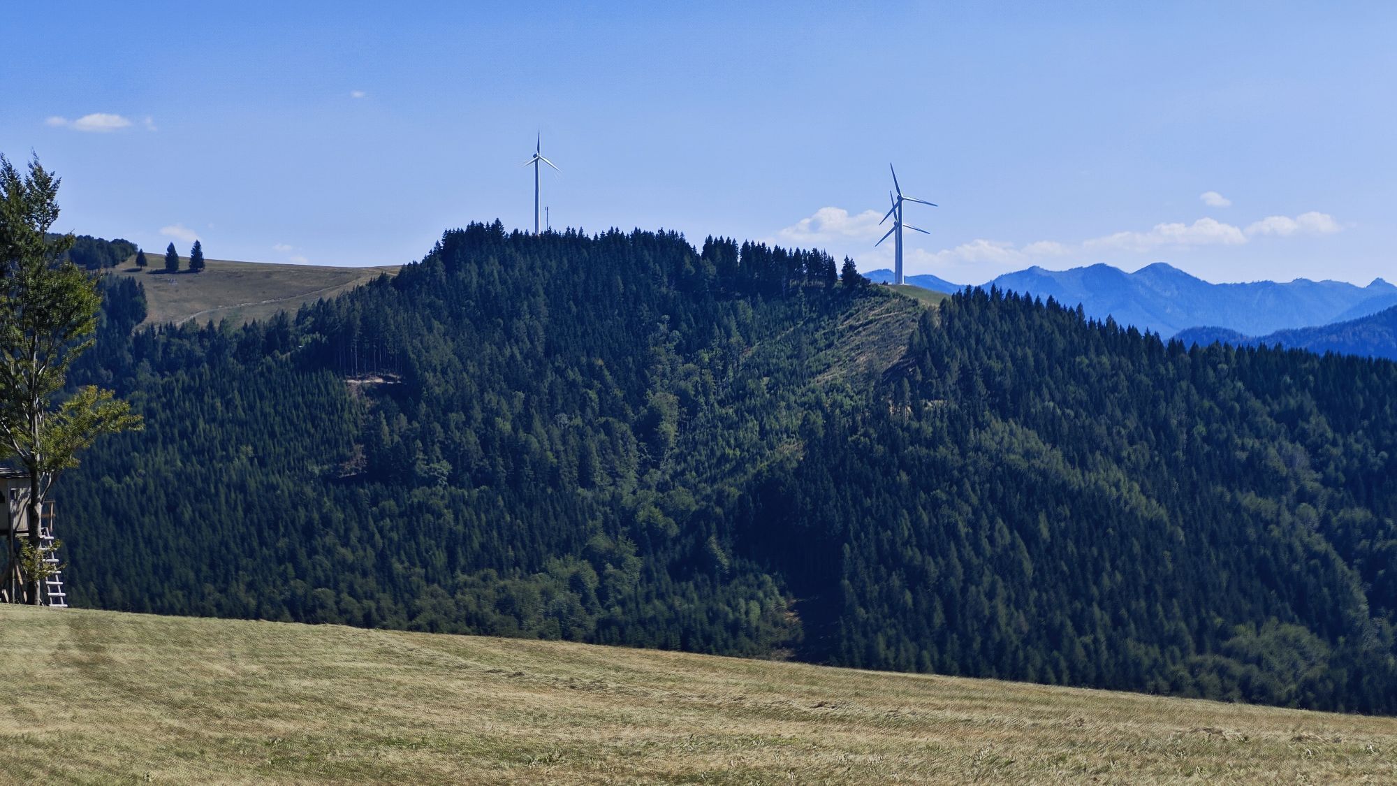
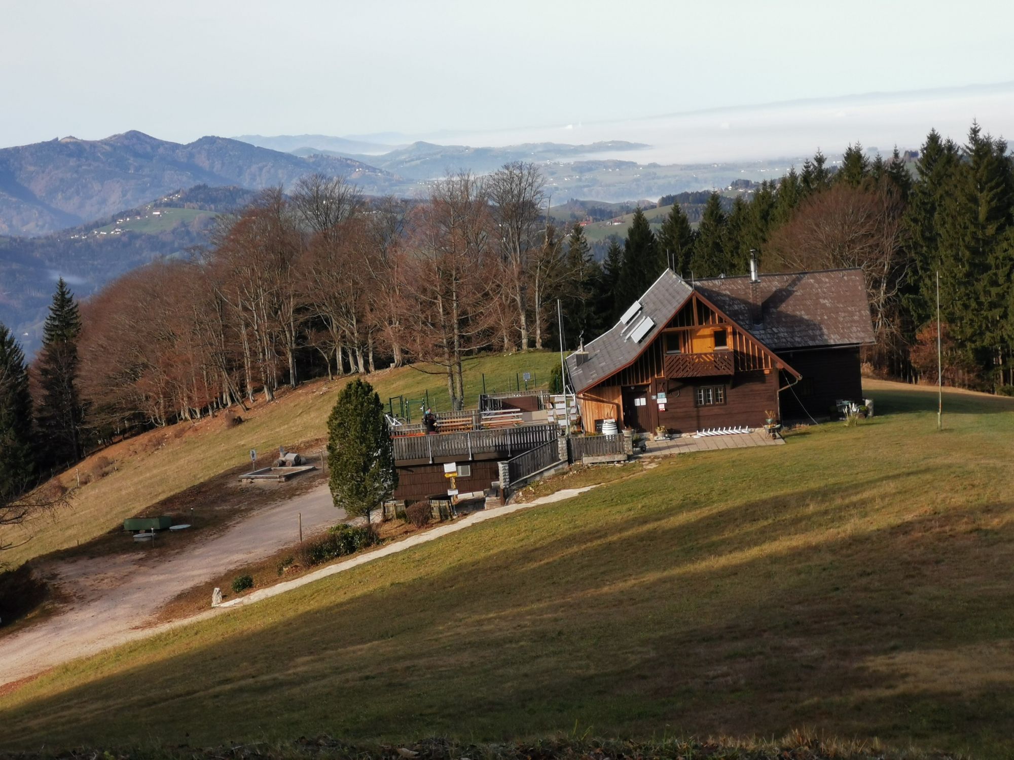


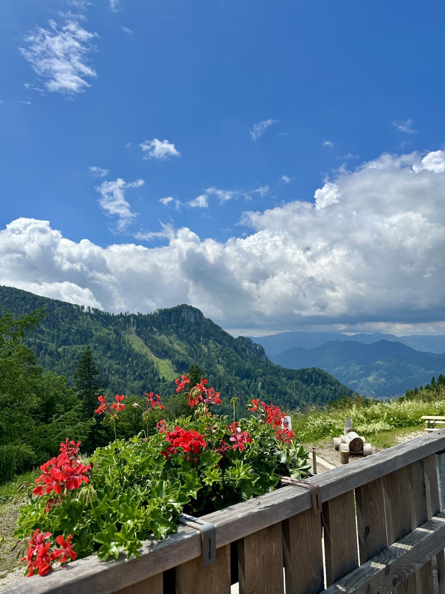
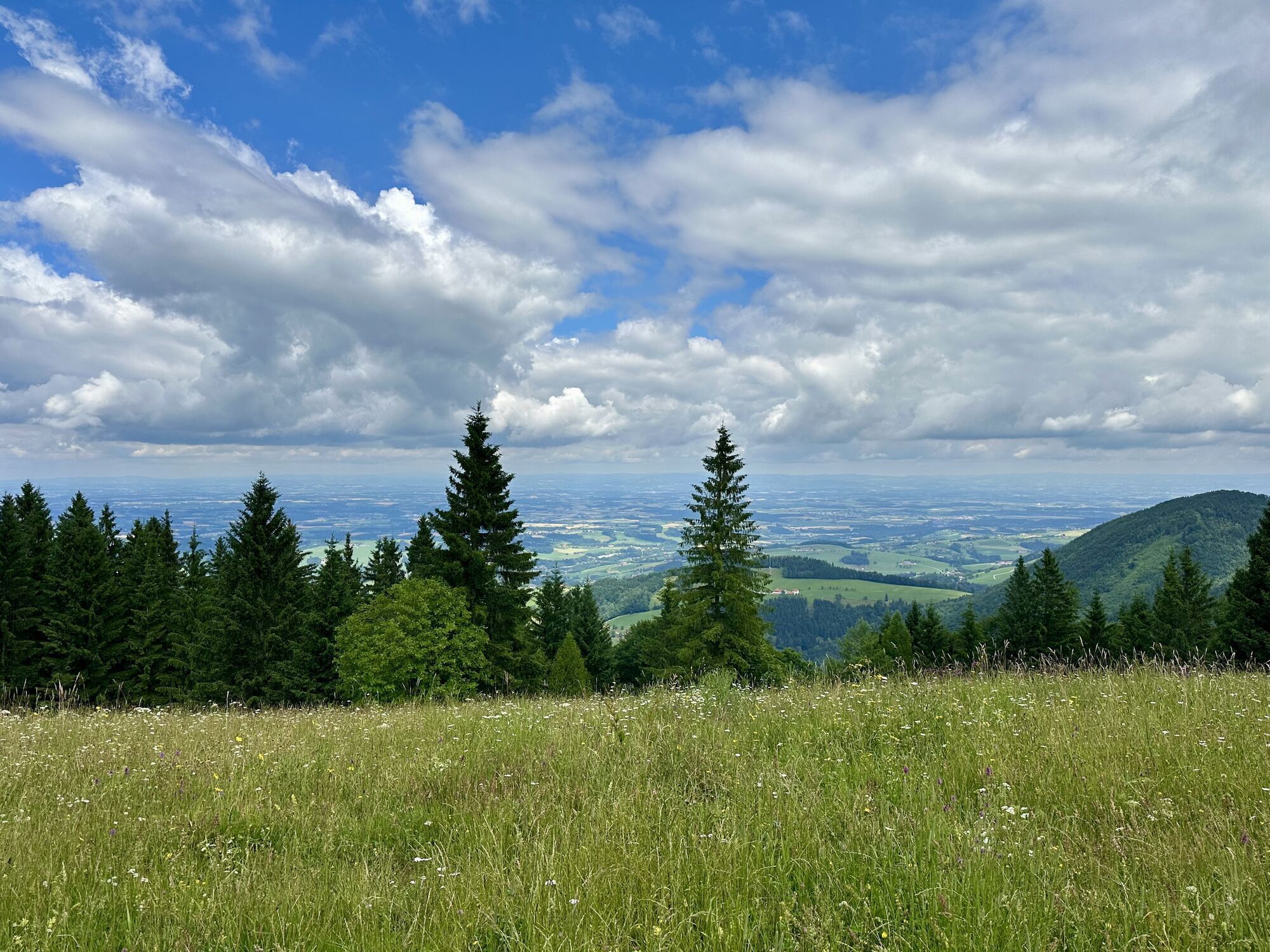
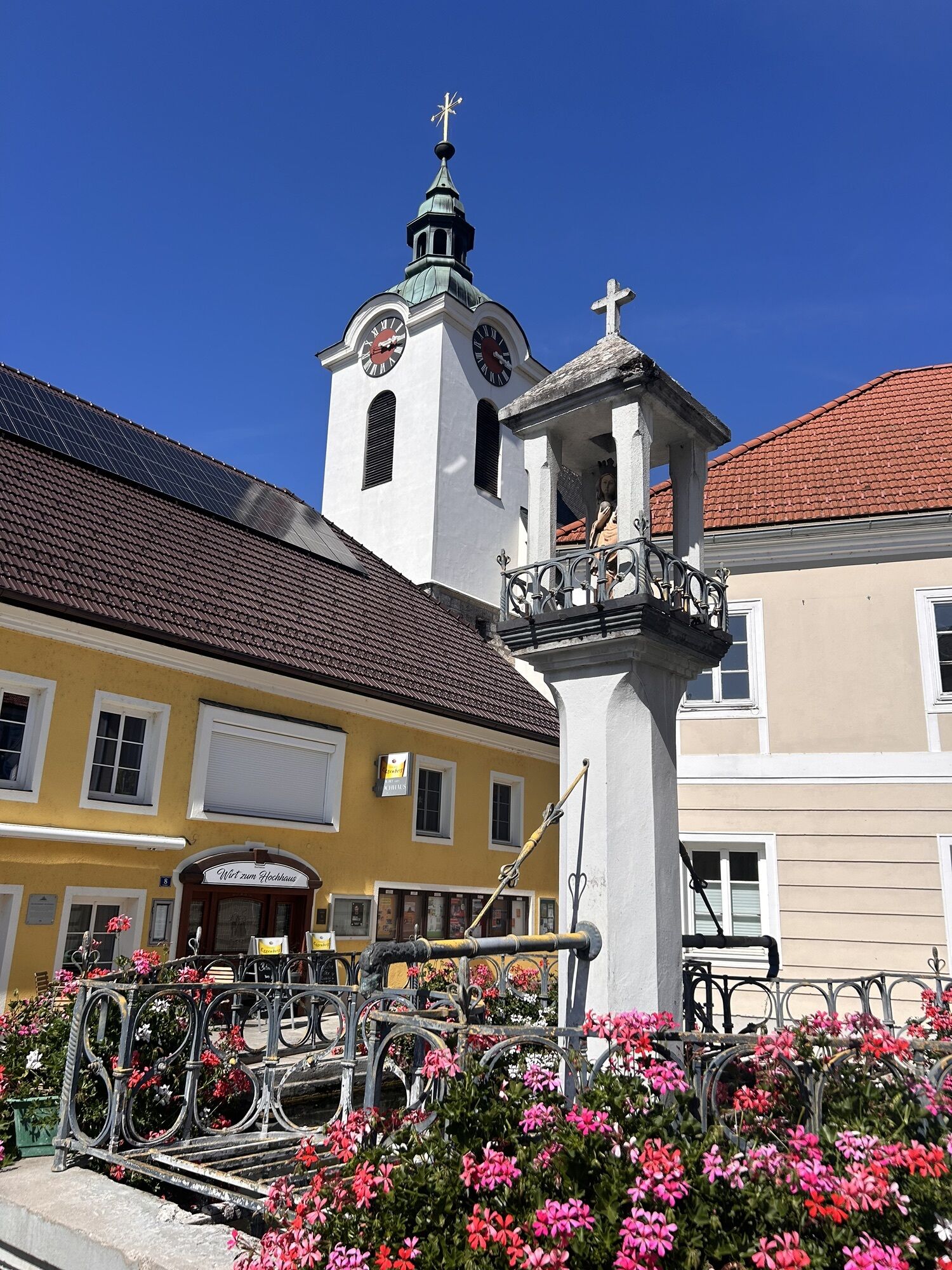
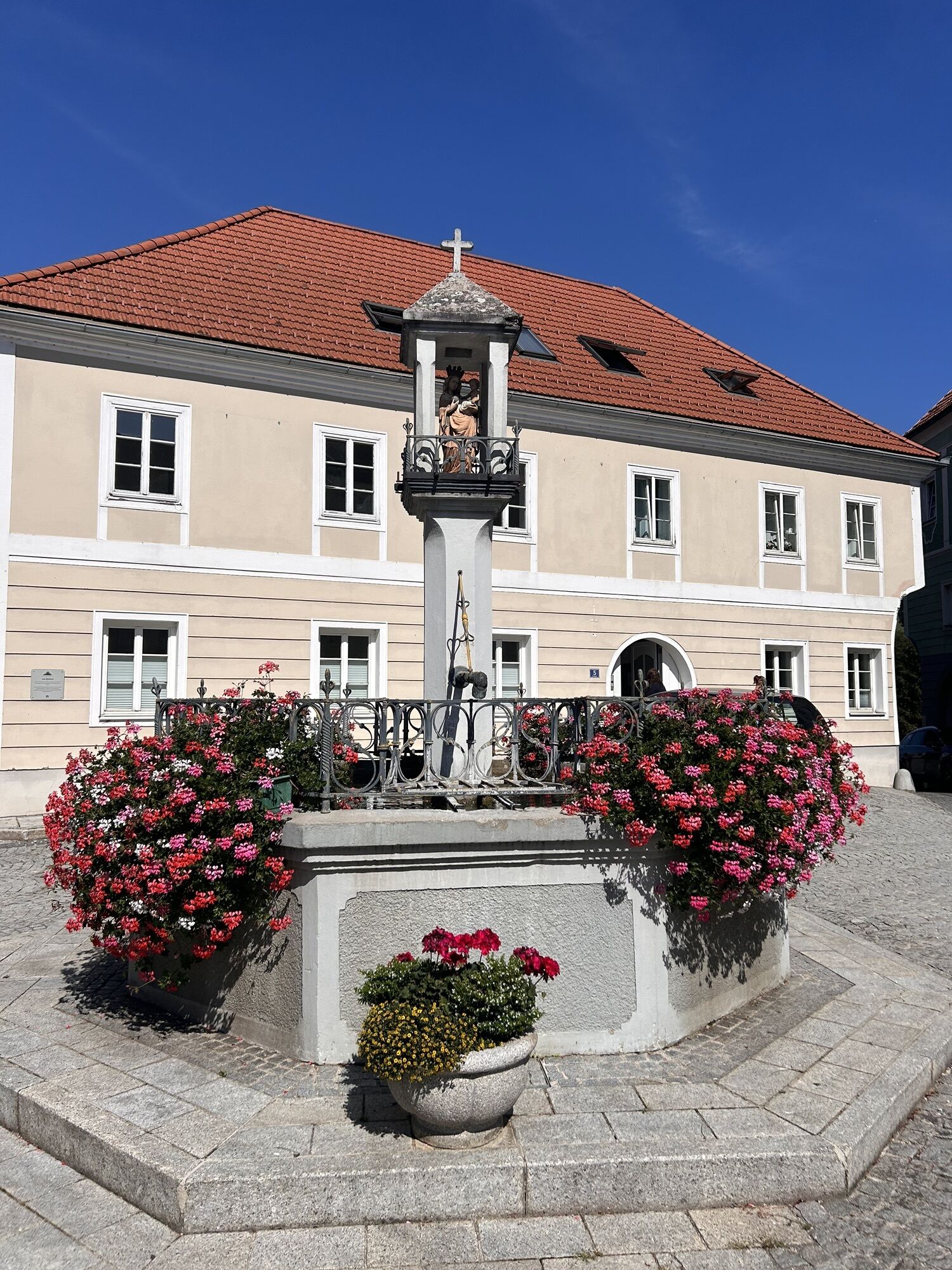
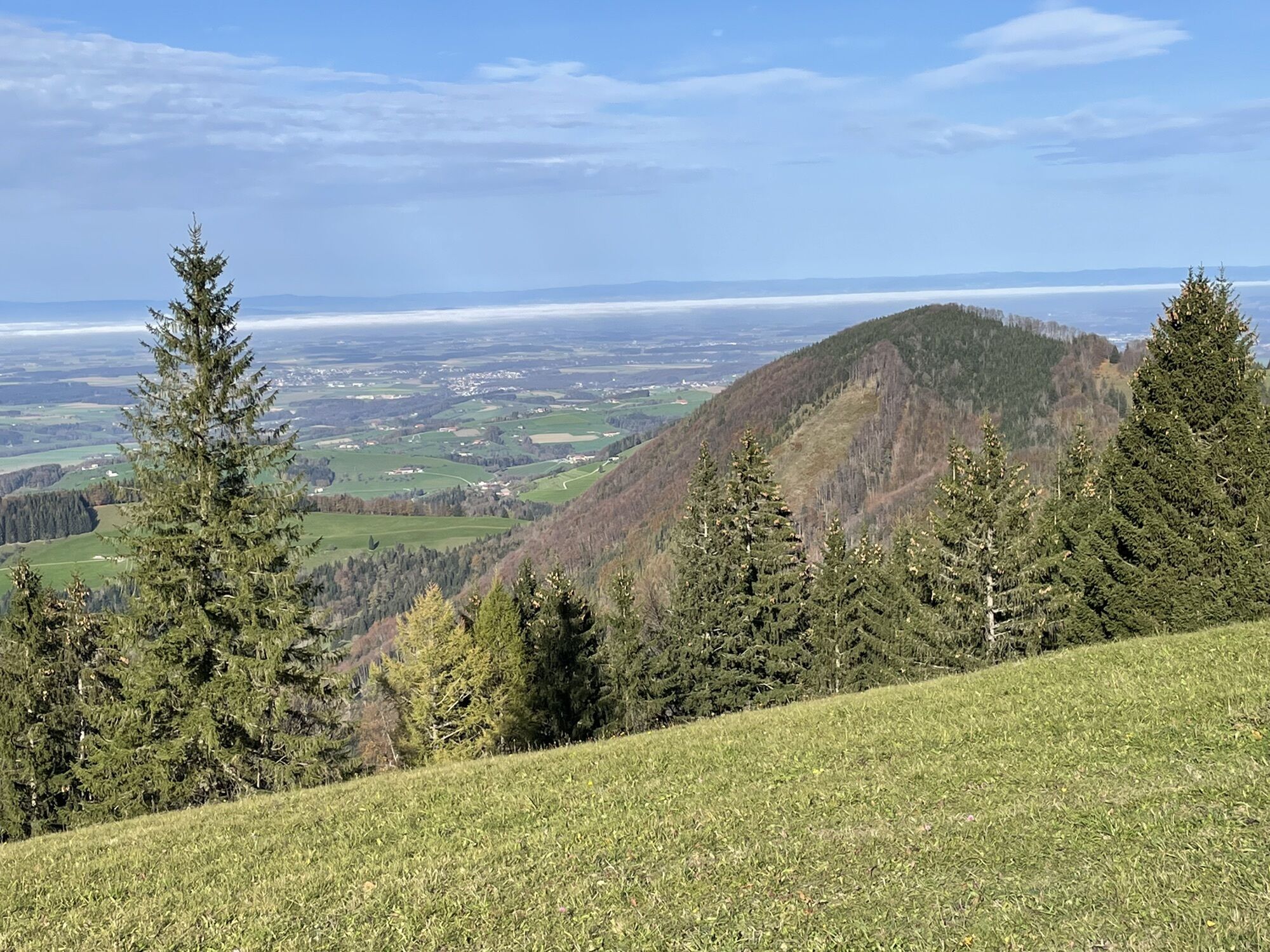
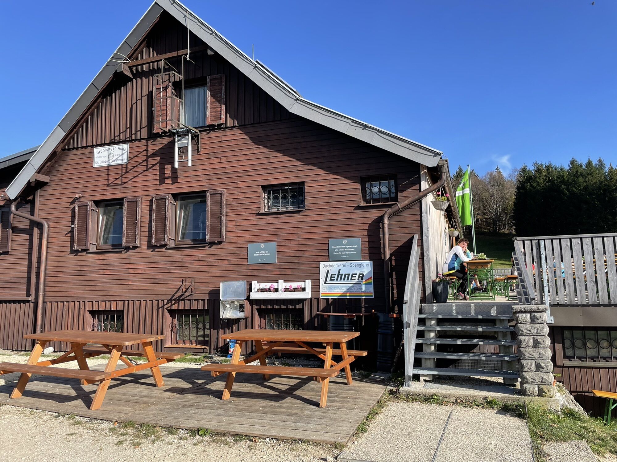
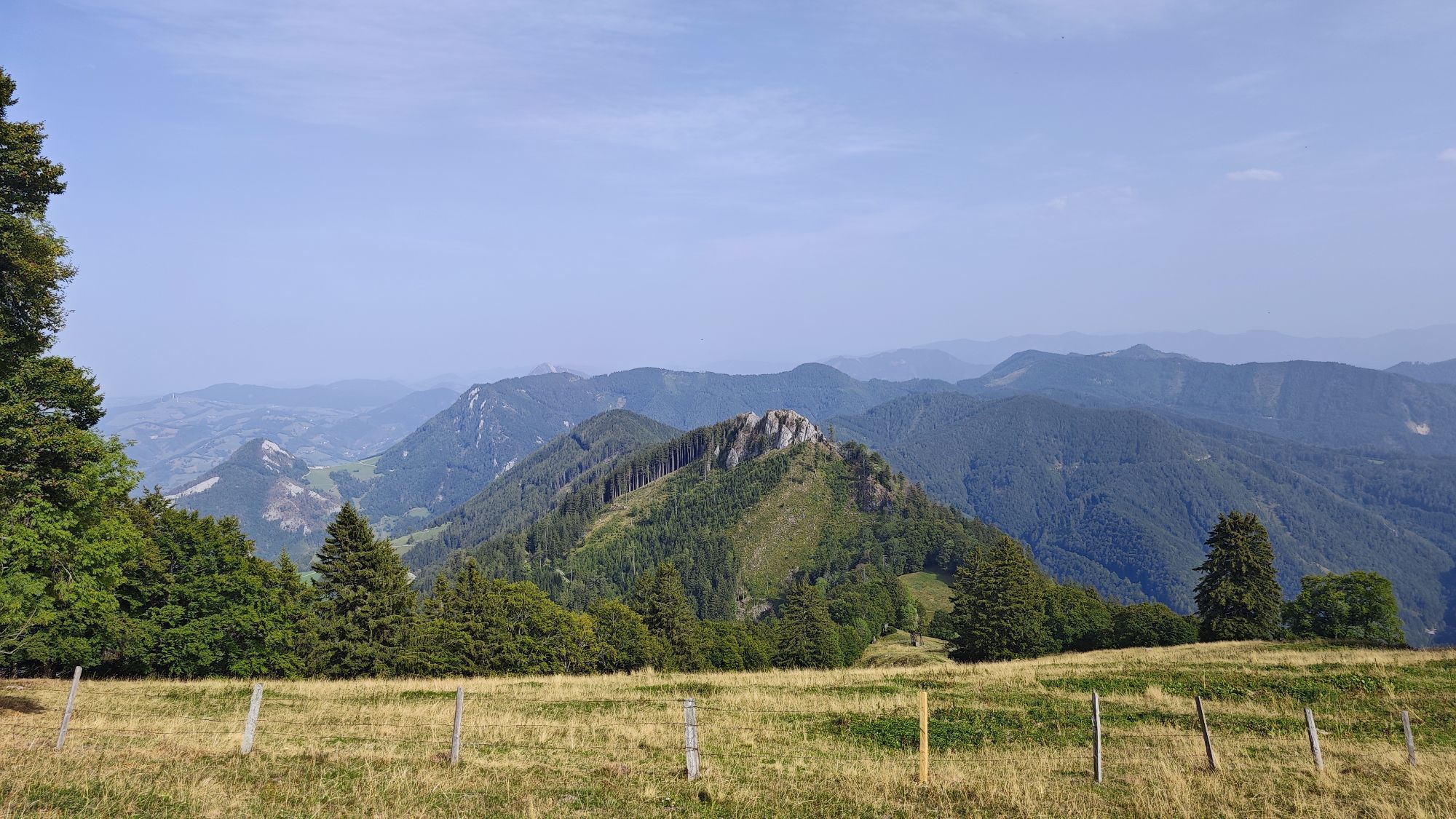
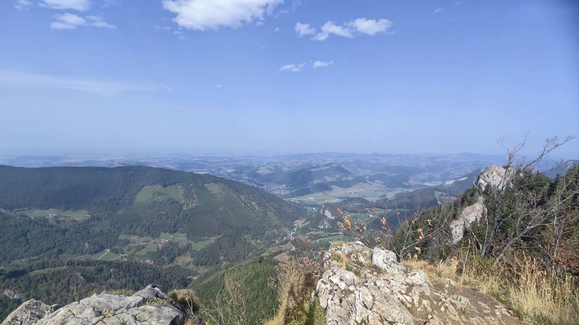
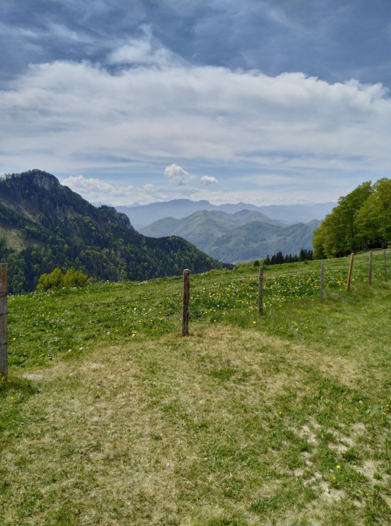

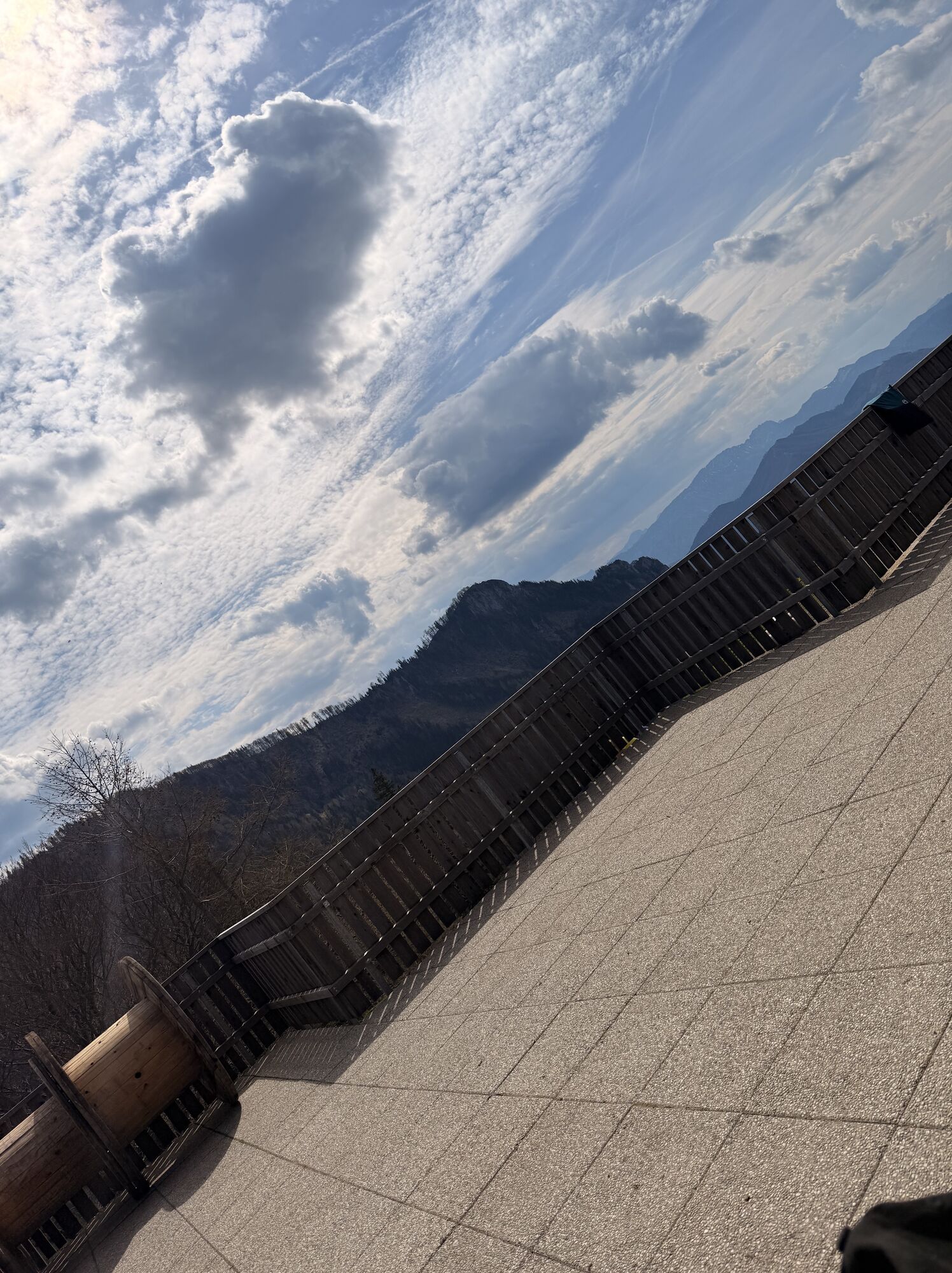
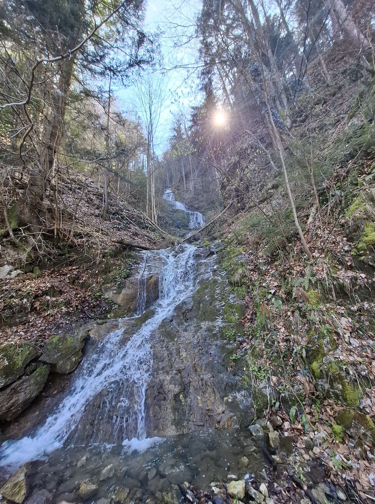
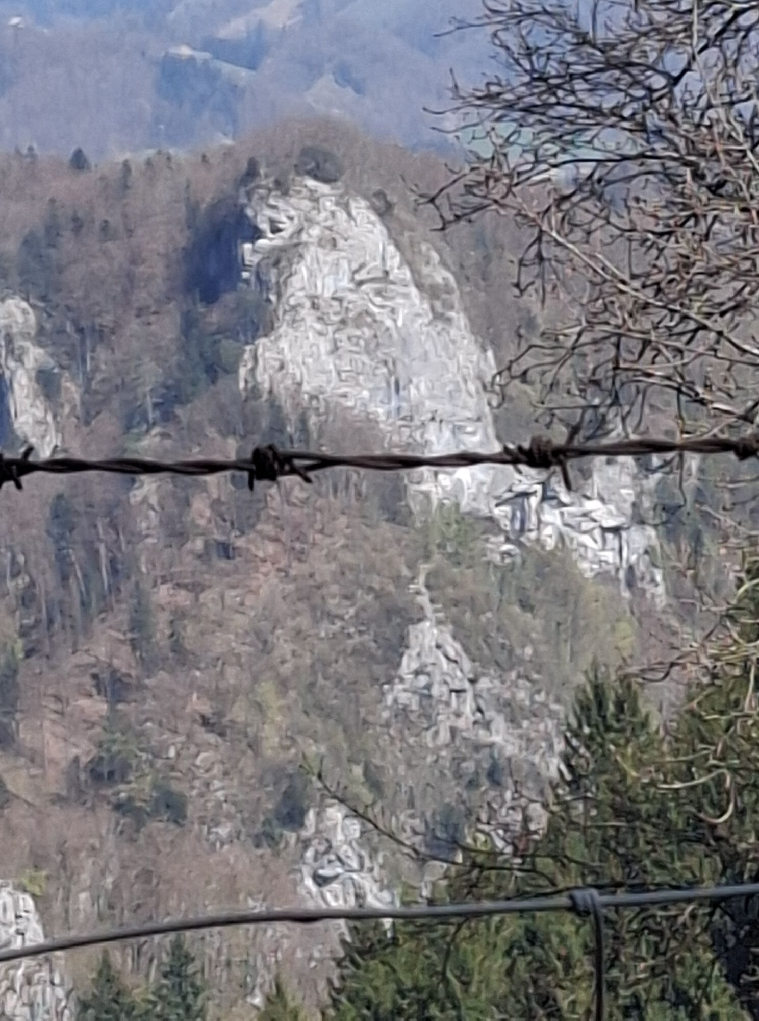
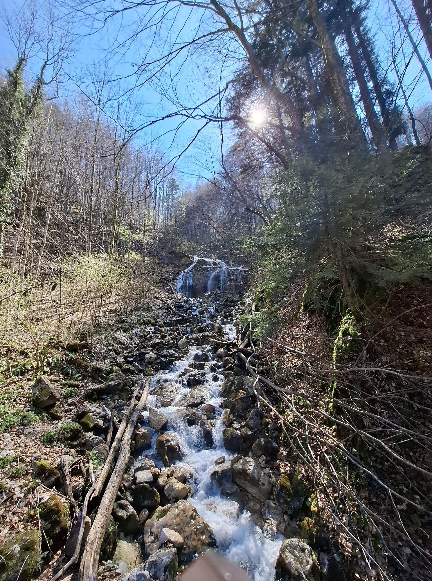
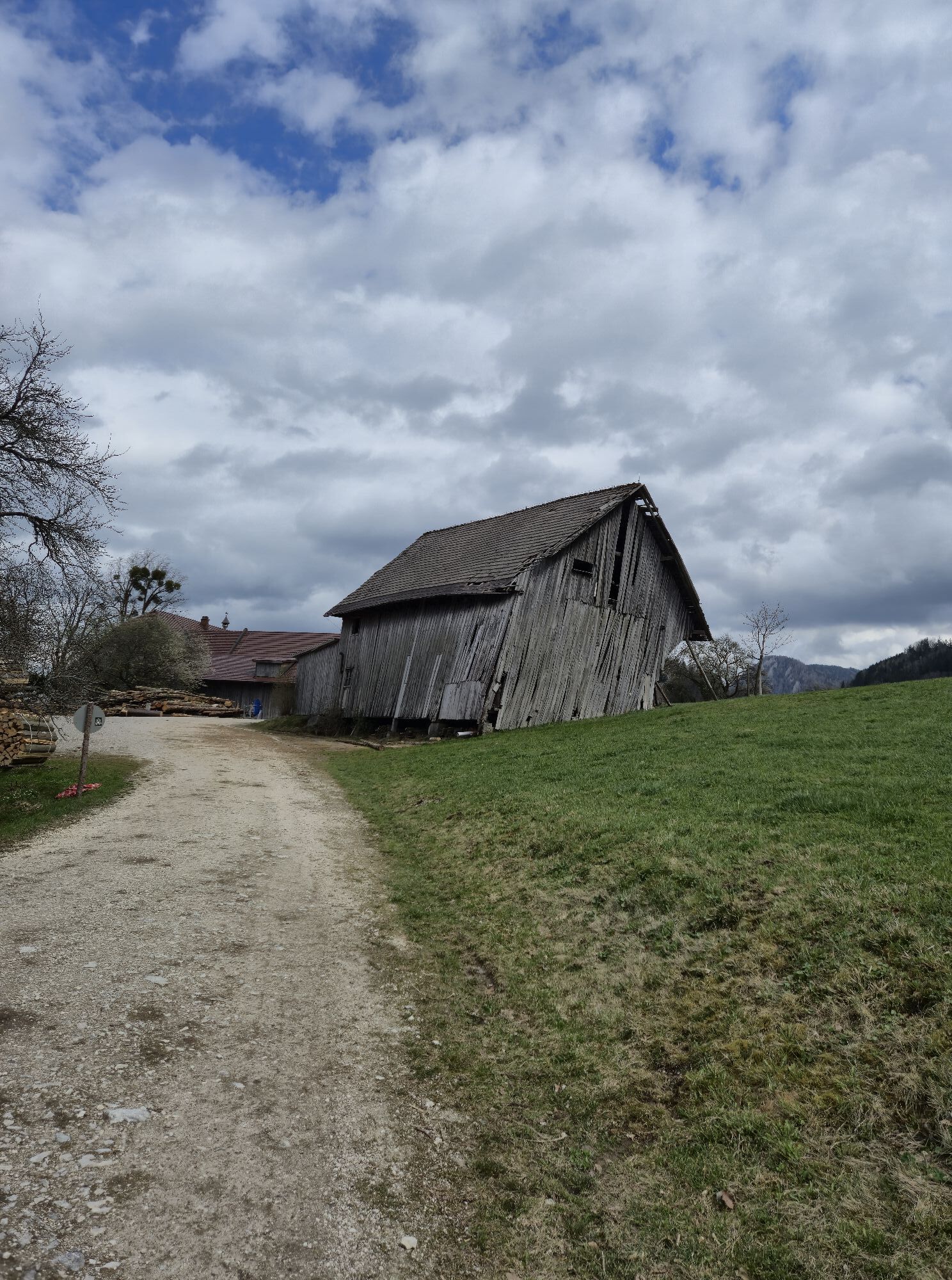
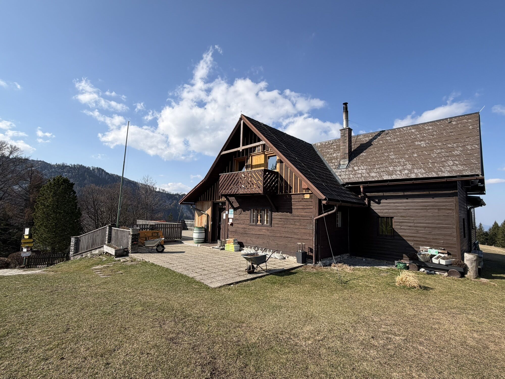


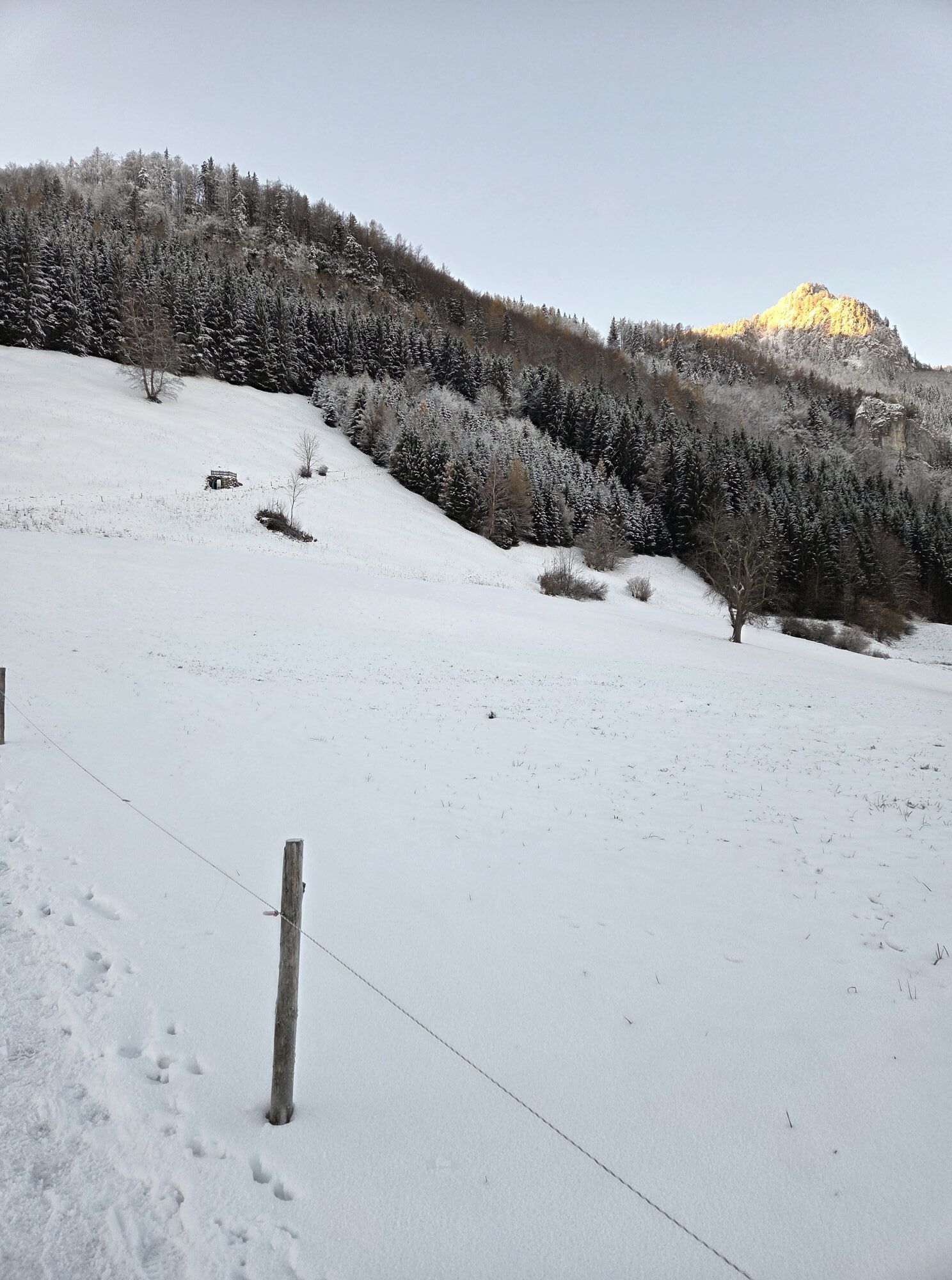


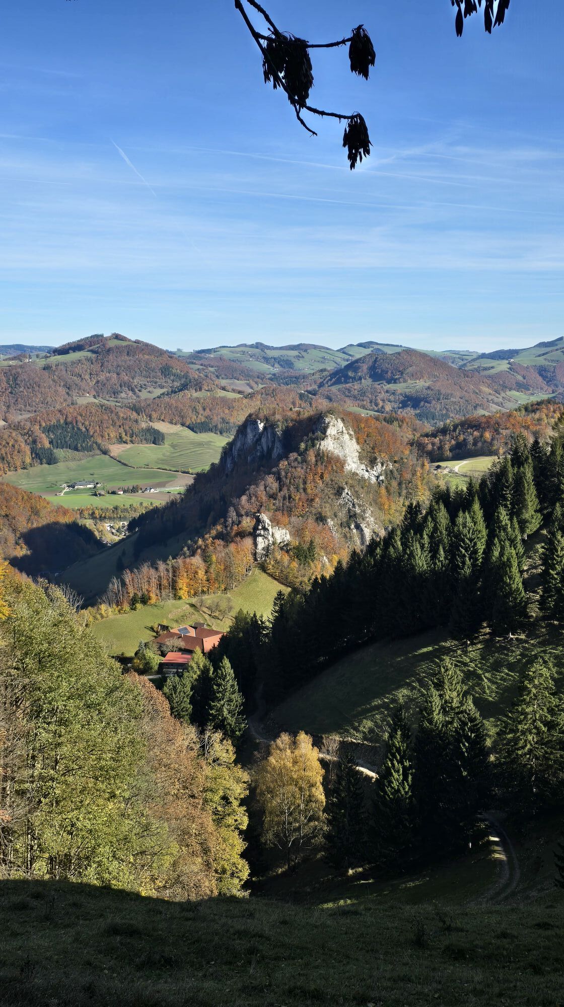
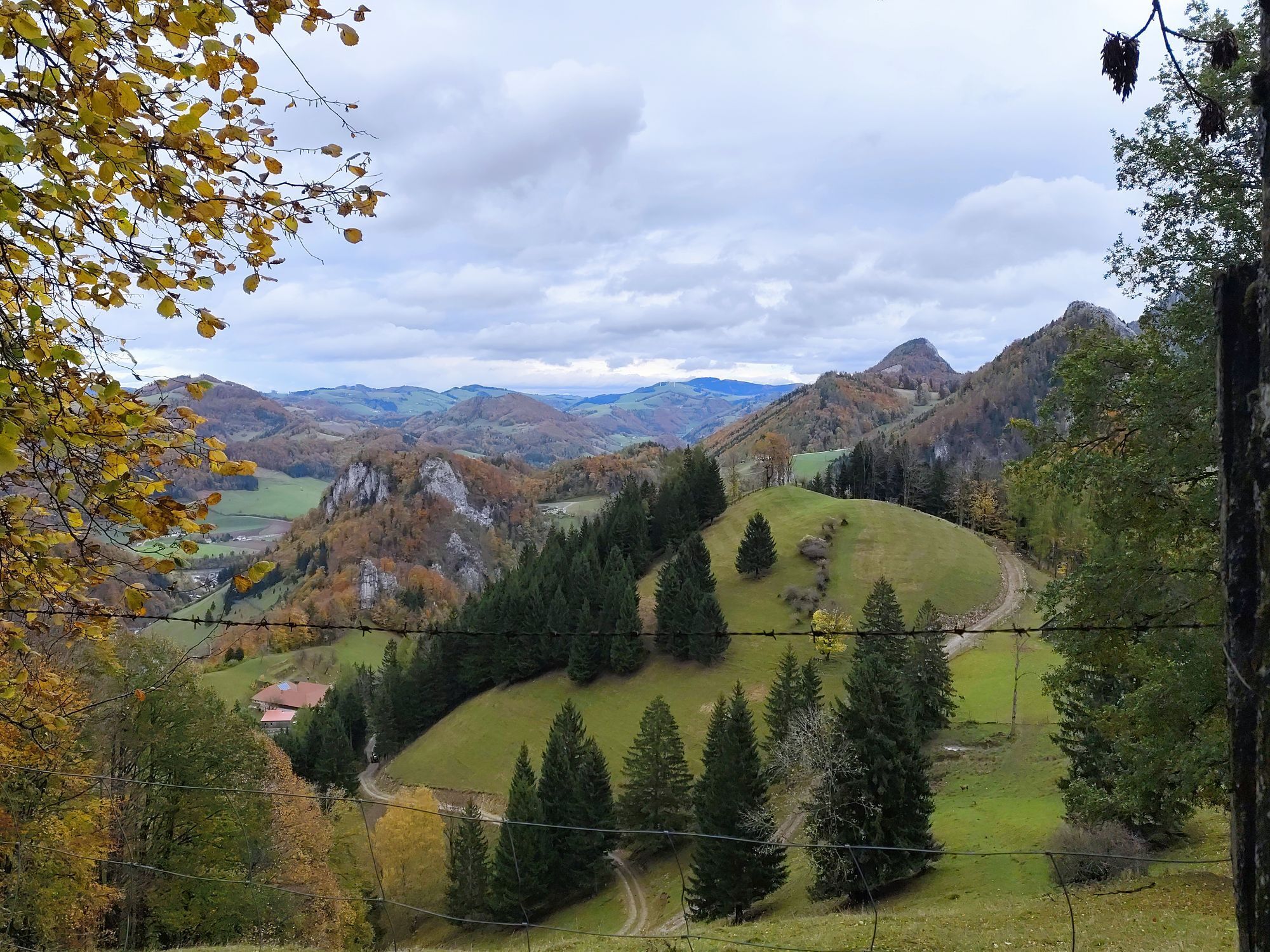

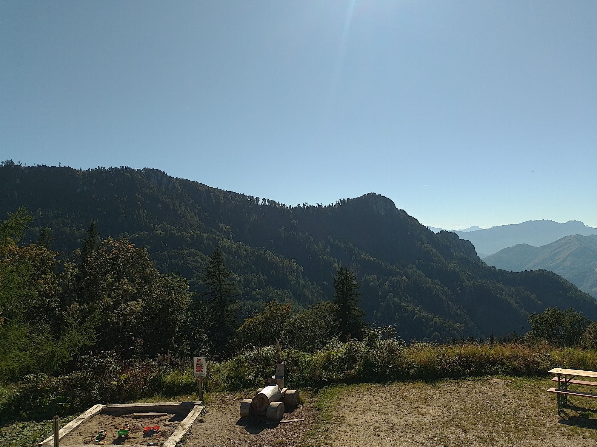


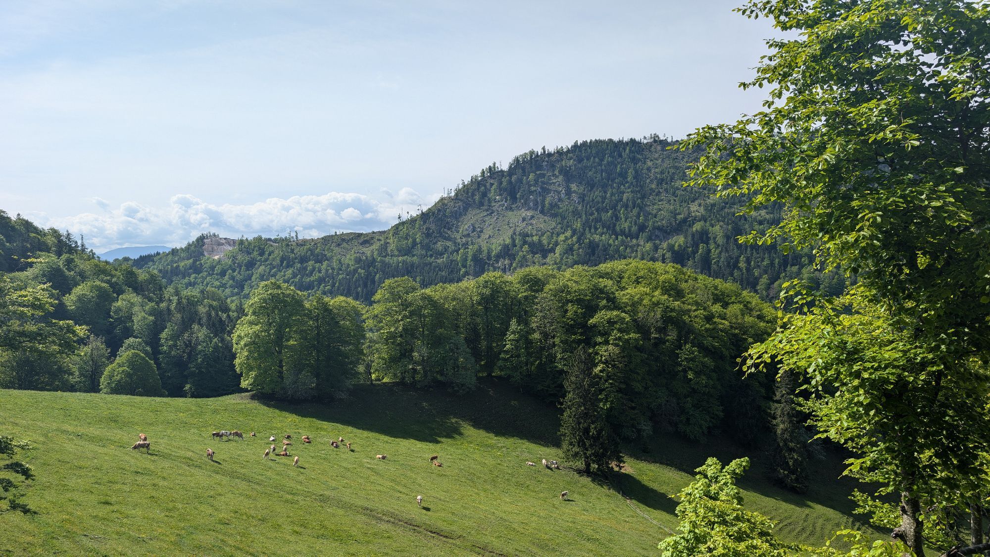


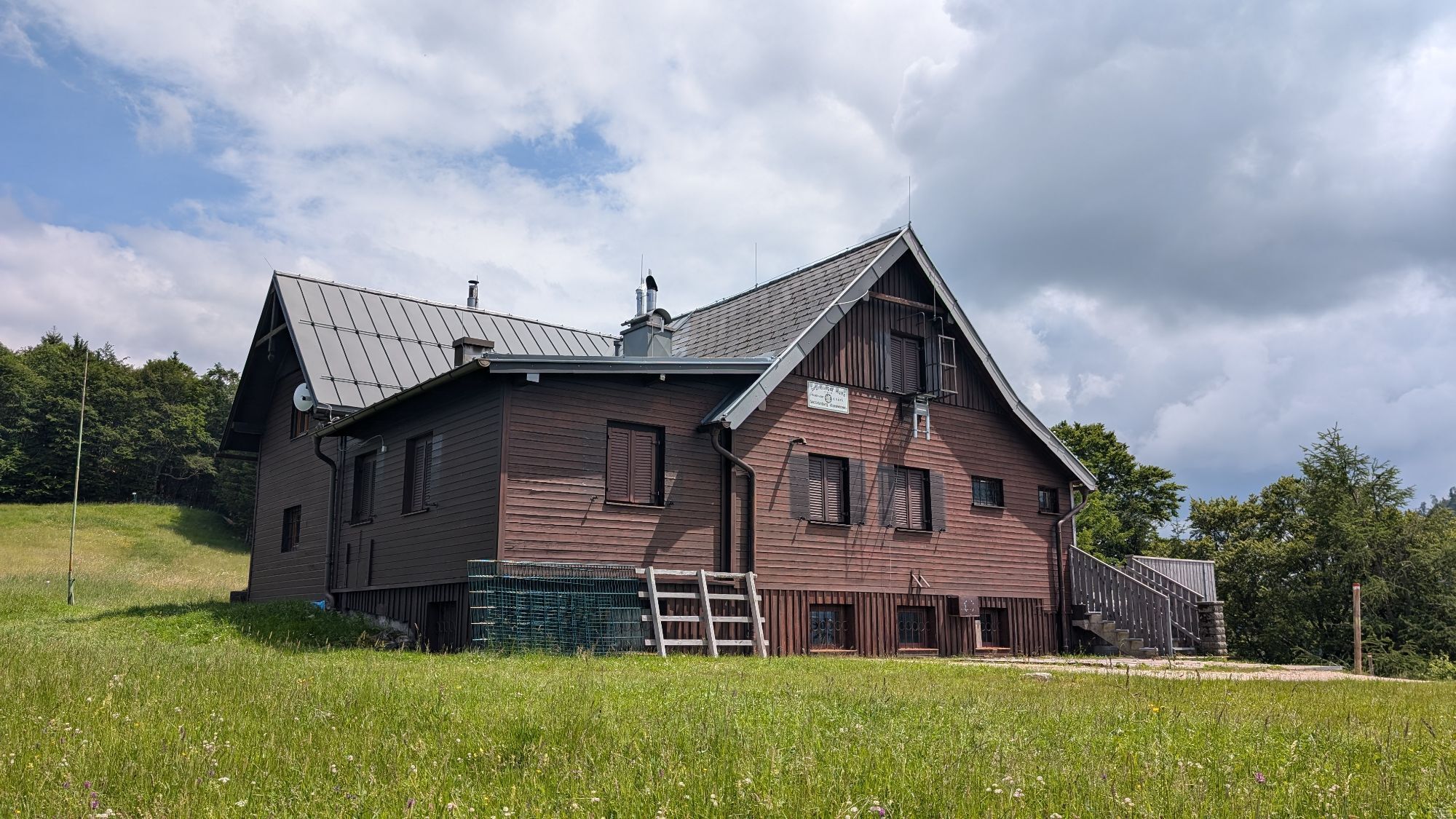
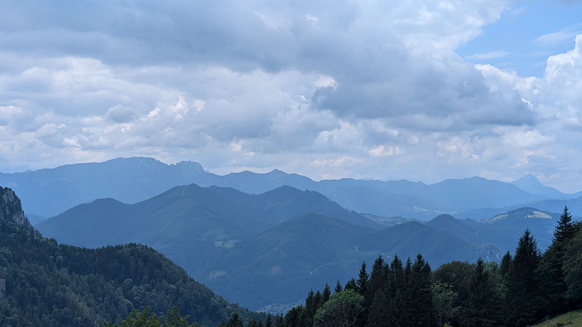

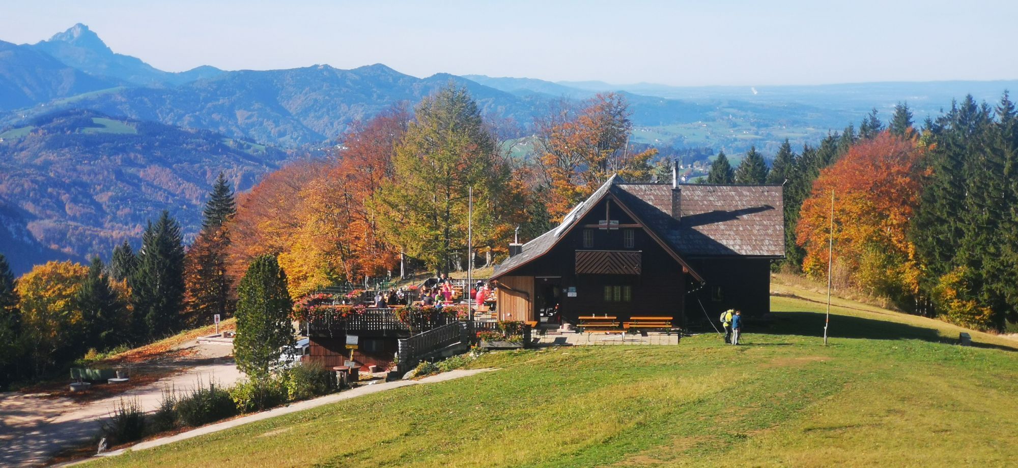
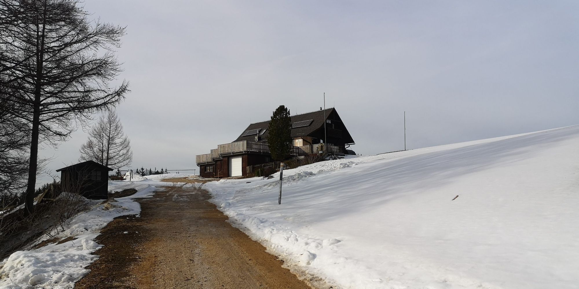
From the village square Steinbach you cycle off. An eventful tour suitable for families.
Trasa
Steinbach an der Steyr
(382 m)
Dedina
0,0 km
Untergrünburg
(372 m)
Dedina
0,0 km
Grünburger Hütte
(1 079 m)
Úkryt
15,1 km
Schreibachfall
(698 m)
Vodopád
19,8 km
Breitenau
(460 m)
Zúčtovanie
41,2 km
Berggasthof Windhager-Kores
(475 m)
Reštaurácia
41,4 km
Steinbach an der Steyr
(382 m)
Dedina
56,9 km
Trasa
Gaisberg Runde ab Steinbach
ťažké
Mountainbike
56,99
km
Steinbach an der Steyr
(382 m)
Dedina
0,0 km
Untergrünburg
(372 m)
Dedina
0,0 km
Brettmaisalm
(1 056 m)
Úkryt
14,7 km
Grünburger Hütte
(1 079 m)
Úkryt
15,1 km
Schreibachfall
(698 m)
Vodopád
19,8 km
Mösern
(945 m)
Koridor/terén
29,5 km
Breitenau
(460 m)
Zúčtovanie
41,2 km
Berggasthof Windhager-Kores
(475 m)
Reštaurácia
41,4 km
Steinbach an der Steyr
(382 m)
Dedina
56,9 km
Untergrünburg
(372 m)
Dedina
56,9 km
Autor
Poskytuje Alpenland Tourismus GmbH
Prehliadku Gaisberg Runde ab Steinbach zabezpečuje outdooractive.com.


Informácie o trase
Trasa
From the town square Steinbach you cycle along the Schulstraße into the Au and then at a bend in the road down to the right to the Haunoldmühlbrücke. However, do not cross this bridge, but pedal upstream on the Bezirksstraße in the direction of Molln. At a chapel turn left into the Dorngraben. After 400 m the gravel road begins. On the right you pass a barrier. Now take another deep breath, because from now on you have to overcome some meters of altitude up to Pfaffenboden. Once there, a detour to the Grünburger Hütte - 1.5 km - would be highly recommended, or you can continue straight ahead in the direction of Trattenbach, past the "Scheibach waterfall". At a farmhouse turn right onto a track. After the Klausbach brook turn right and shortly after at a house turn right again uphill to the Klausriegler inn. A goods road leads you straight on to a fork. Here you steer to the right and pass the Hubertus chapel. The route continues on the Schönbach forest road until you reach the "In der Mösern" junction. Here you take the right path downhill to Breitenau. At km 31/860 hm the route branches off sharply to the right into a small wood. Now follow the red-white-red hiking trail markings. The following 300 m long meadow path to the Bilderstadeln is a pushing stretch. Then you continue your tour on a trail through the forest. You pass a wooden barn on the left until you reach an old house. After that you leave the trail and follow the gravel road to the left until you reach the valley. From there, turn right onto the Breitenauer Bezirksstraße in the direction of Molln. Shortly after the Steiner Kraml inn (closed on Tuesdays) turn right towards Molln-Sonnseite. In a comfortable up and down past the gravel pit back to the Dorngraben Chapel and from there as in the outward journey back to the starting point Steinbach.suitable for families!
Translated with www.DeepL.com/Translator (free version)
Jednosmerná prehliadka
Áno
Zariadenie
Sun and rain protection, repair kid for minor bike breakdowns.
Bezpečnostné pokyny
Inquire in advance about any road or trail closures along the route.
Ďalšie informácie a tipy
Ďalšie informácie
You can obtain map material at www.steyr-nationalpark.at
Zatiaľ žiadne recenzie

Všetky webové kamery na mape
Nainštaluj si aplikáciu zadarmo a porovnaj živé zábery z viacerých miest, než vyrazíš.
Využite službu „ bergfex “ už teraz v aplikácii
Naskenuj QR kód pomocou fotoaparátu
Ak máte aplikáciu nainštalovanú, obsah sa otvorí priamo. Ak aplikáciu ešte nemáte, budete presmerovaní na stránku, kde si ju môžete bezplatne stiahnuť.
Obľúbené výlety v okolí
-
4,7
Grünburger Hut via Dorngraben Molln
strednáTuristika 3,43 km -
4,6
Schoberstein (from Molln)
strednáTuristika 3,63 km -
4,9
Dambergwarte
svetloTuristika 3,28 km -
4,8
Steinerner Jäger (1185m) und Schieferstein (1206m) ab Parkplatz Hochhabichler
strednáTuristika 4,46 km -
4,7
Hoher Nock von Rettenbach Rettenbach, Windischgarsten,
strednáTuristika 11,5 km -
4,7
Steinerner Jäger (1185m) und Schieferstein (1206m) ab Parkplatz Hack
ťažkéTuristika 8,58 km -
4,6
Dürres Eck - Gaisberg - Hochbuchberg
strednáTuristika 11,2 km -
4,5
Rinnende Mauer - Gorge Trail
strednáTuristika 7,20 km -
4,5
Kleine Gipfelrunde Glasenberg
svetloTuristika 4,99 km -
4,6
Pfaffenmauer - Schoberstein - Gipfel der Lust Gasthof Klausriegler, Oberösterreich/Österreich
strednáTuristika 9,72 km
Turistika a stopovanie

Viac ako 550.000 návrhov výletov, podrobné mapy a intuitívny plánovač trás robia z aplikácie povinnú výbavu pre všetkých nadšencov prírody.

Nenechajte si ujsť ponuky a inšpiráciu na ďalšiu dovolenku
Prihlásiť sa k odberu noviniek
Chyba
Vyskytla sa chyba. Prosím, skúste to znova.
Ďakujeme za vašu registráciu
Vaša e-mailová adresa bol pridaný do poštového zoznamu.
Zájazdy po celej Európe
Rakúsko
Švajčiarsko
Nemecko
Taliansko
Slovinsko
Francúzsko
Holandsko
Belgicko
Poľsko
Lichtenštajnsko
Česko
Slovensko
španielsko
Hrvaška
Bosna a Hercegovina
Luxembursko
Andorra
Portugalsko
Island
Spojené kráľovstvo
Írsko
Grécko
Albánsko
Severné Macedónsko
Malta
Nórsko
Čierna Hora
Moldavsko
Kosovo
Maďarsko
San Maríno
Rumunsko
Estónsko
Lotyšsko
Bielorusko
Cyprus
Litva
Srbsko
Bulharsko
Monako
Dánsko
Švédsko
Fínsko


