







MTB-Tour Hohe Dirn (von Losenstein)

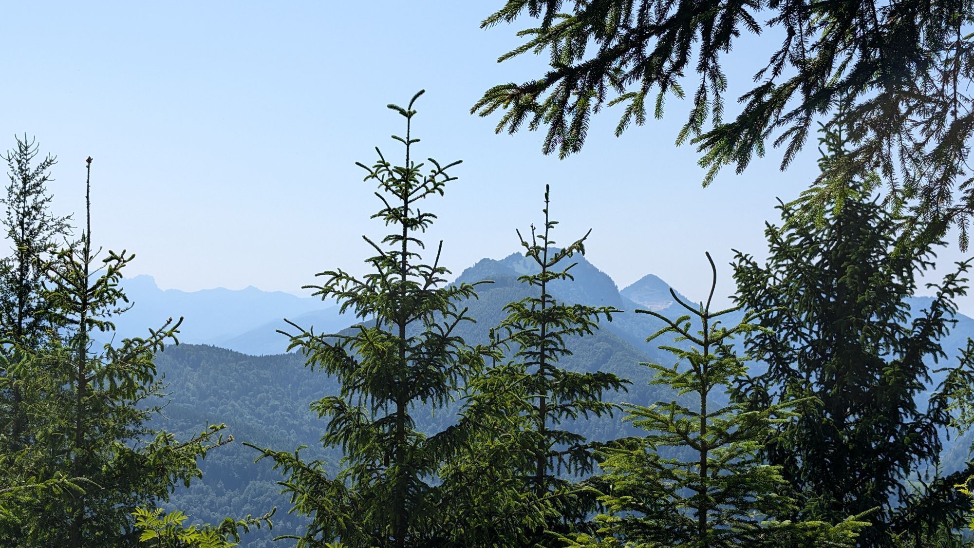
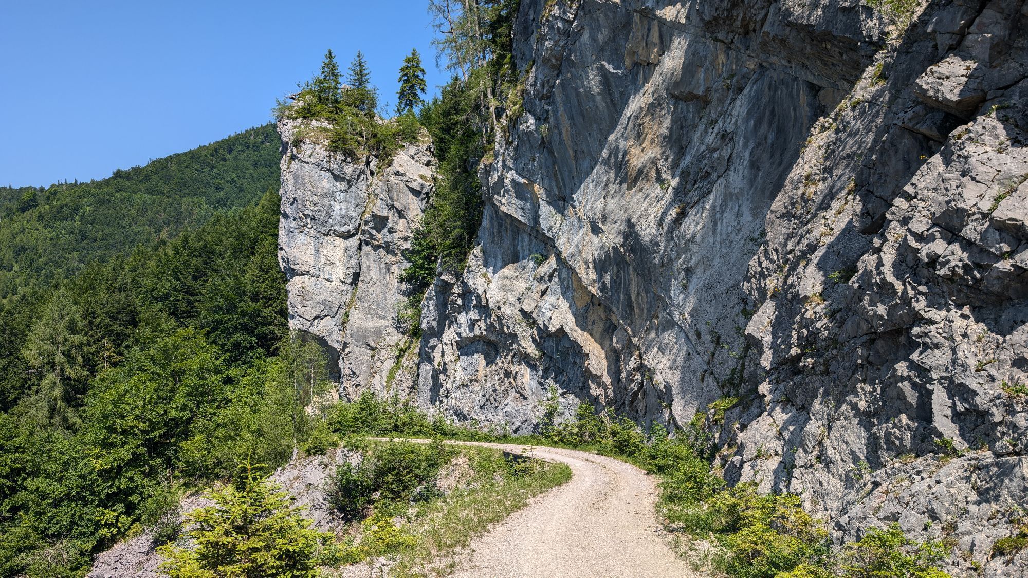
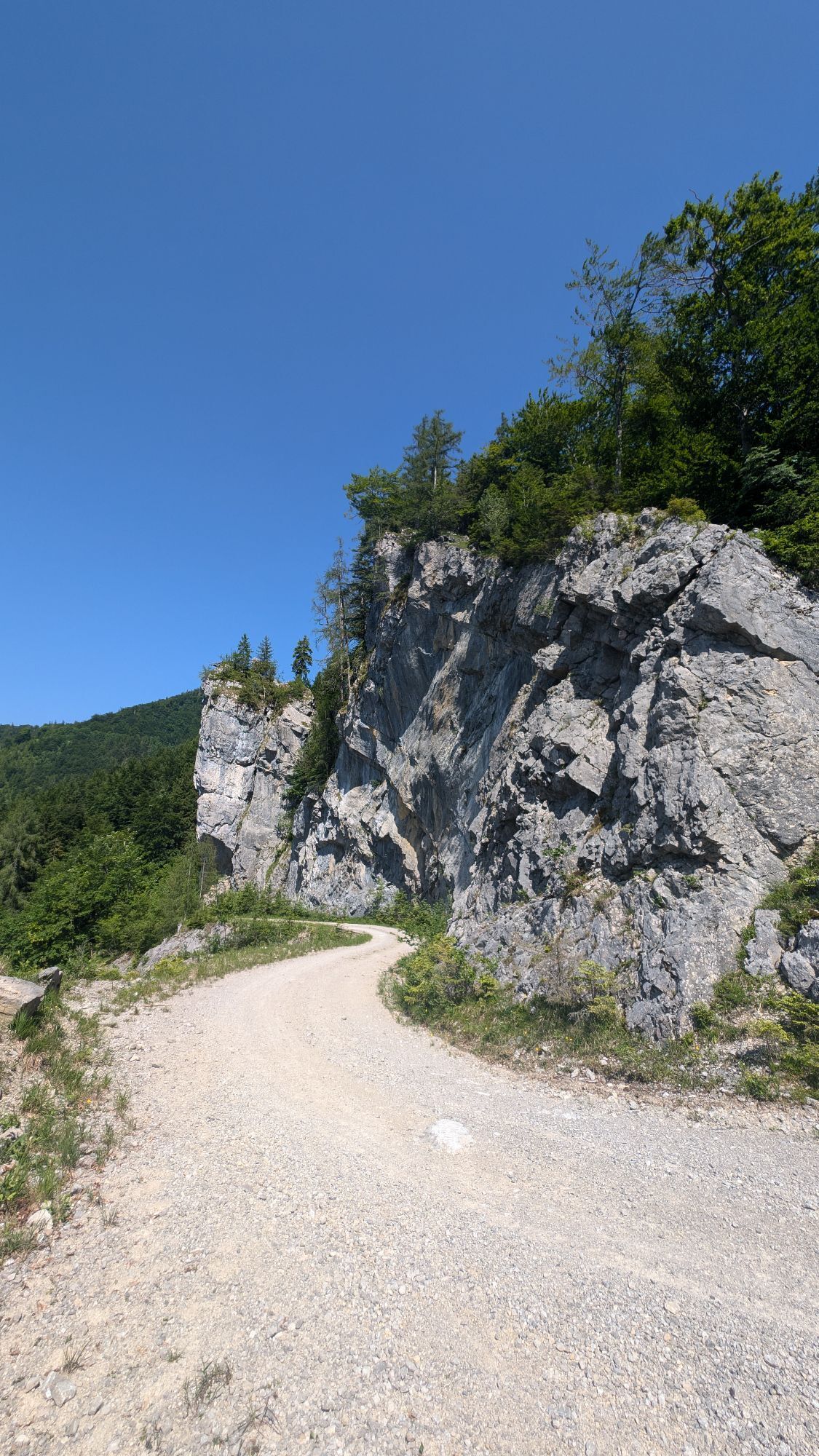
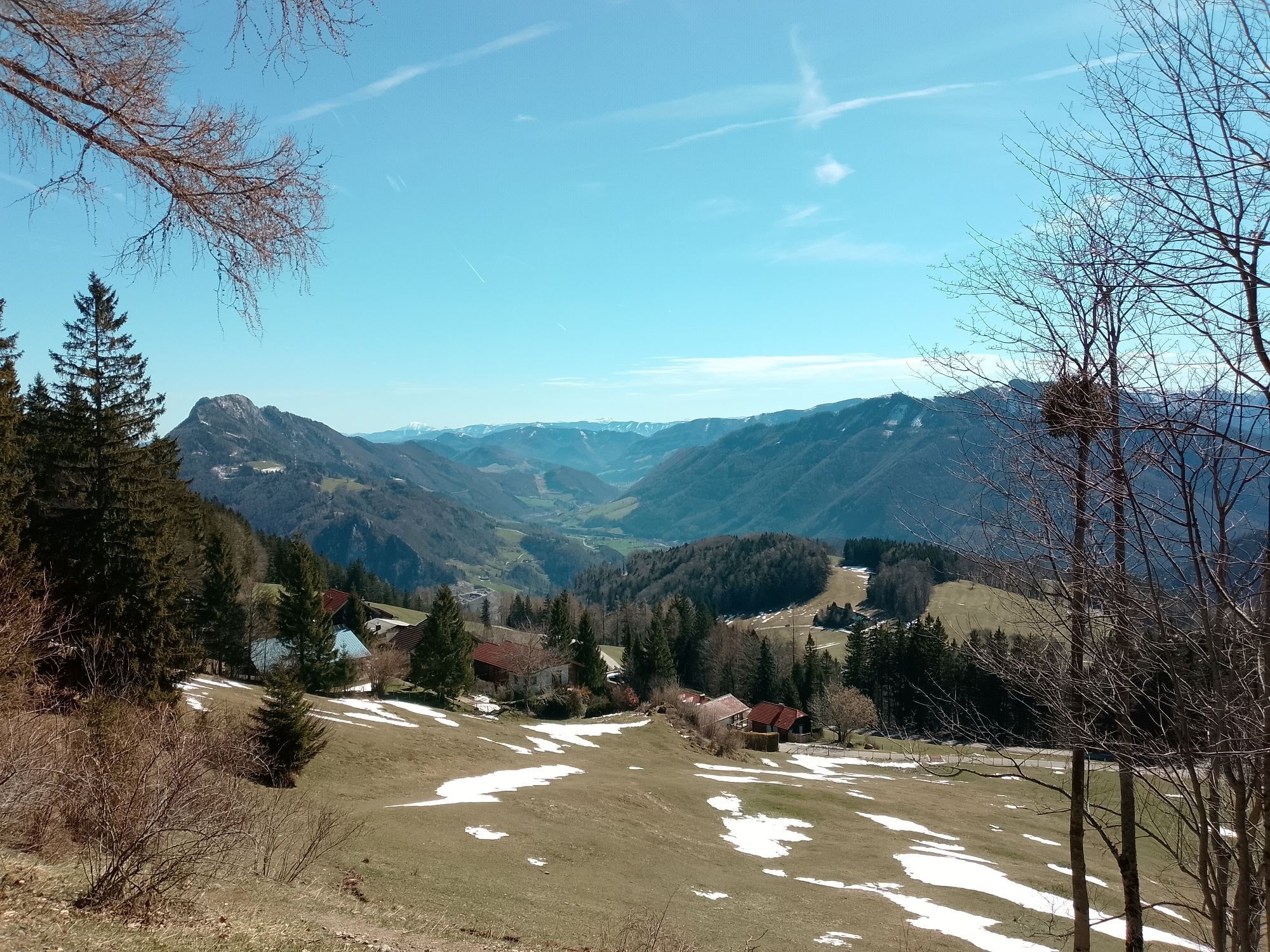
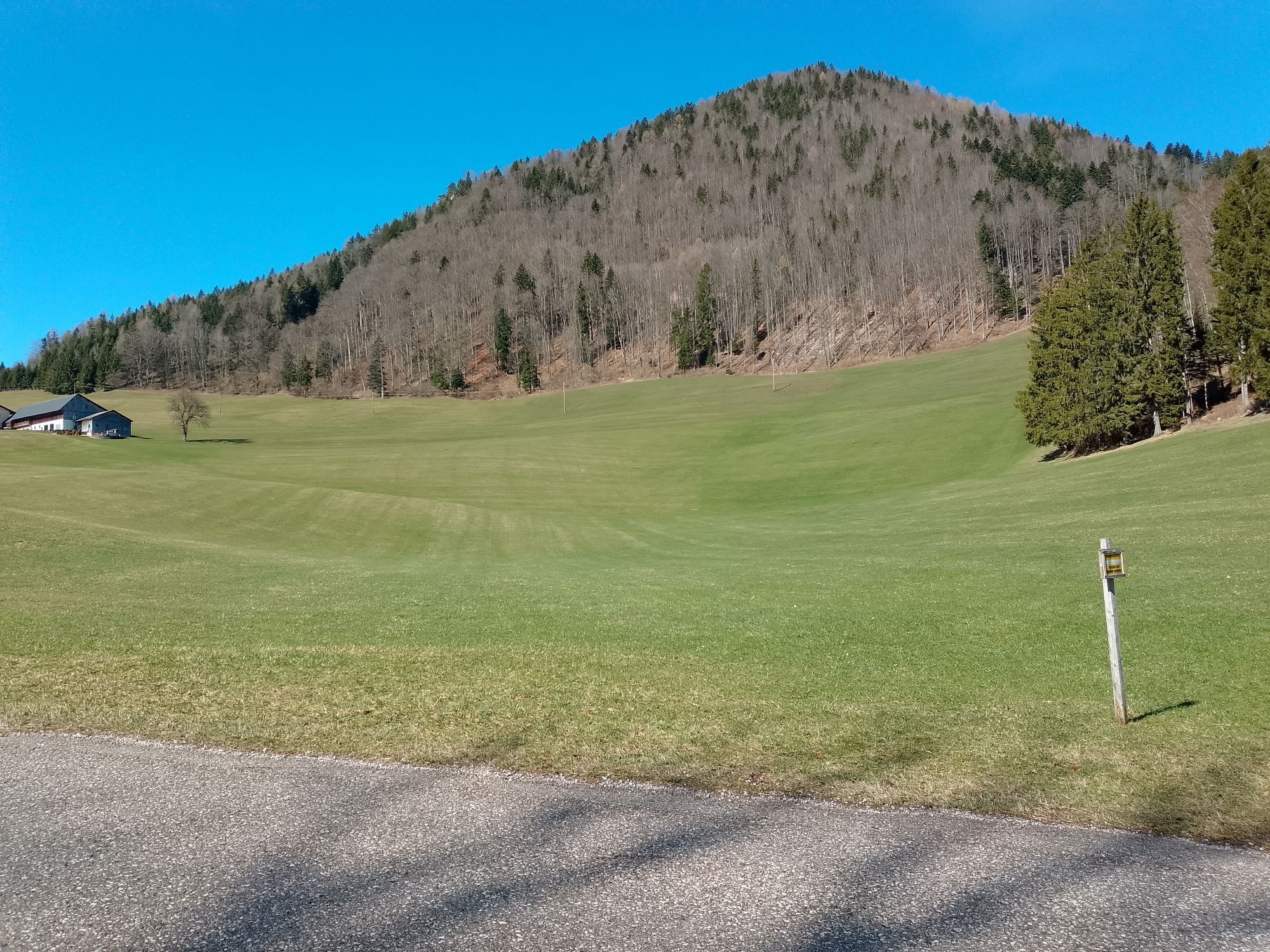
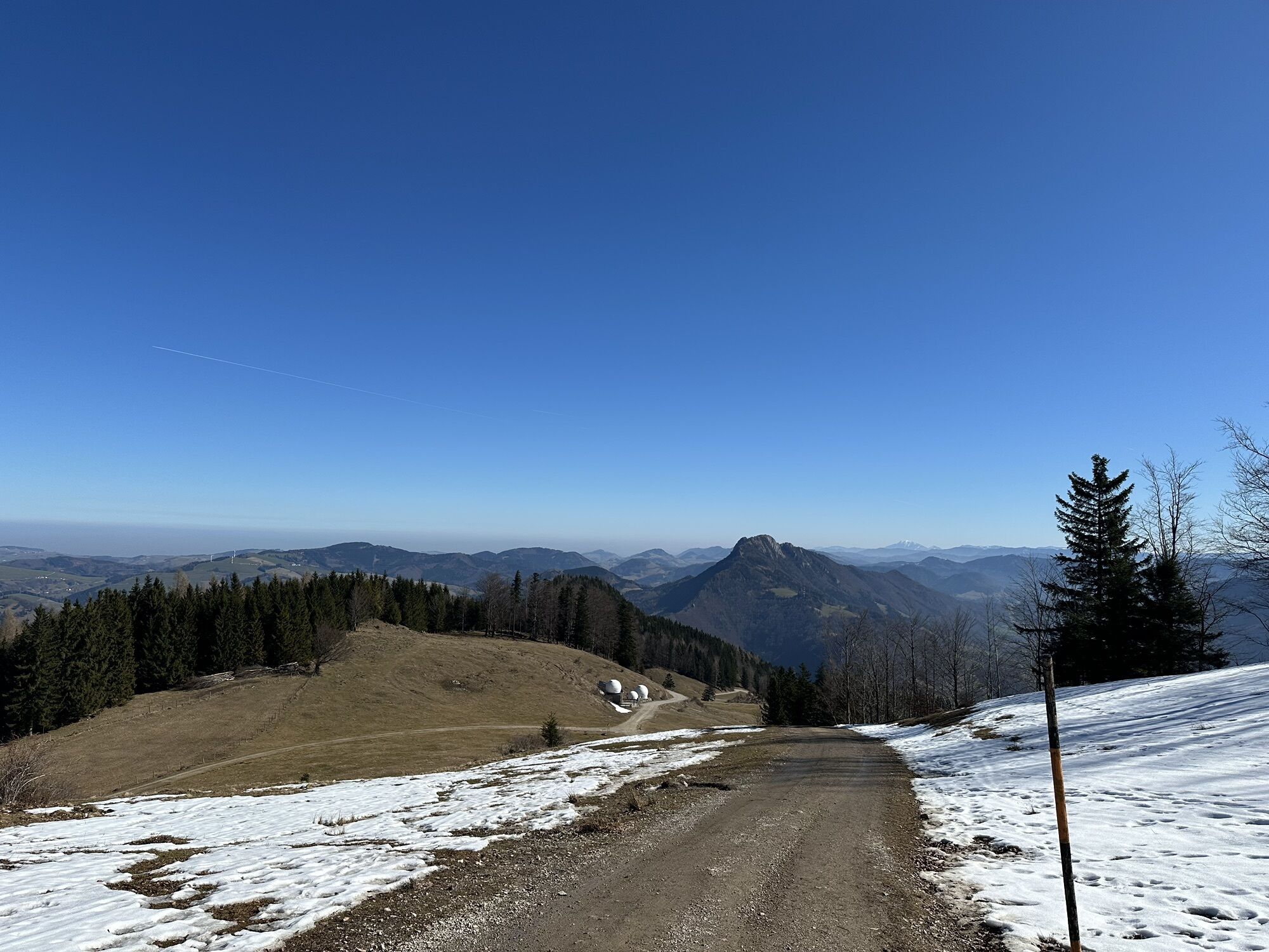
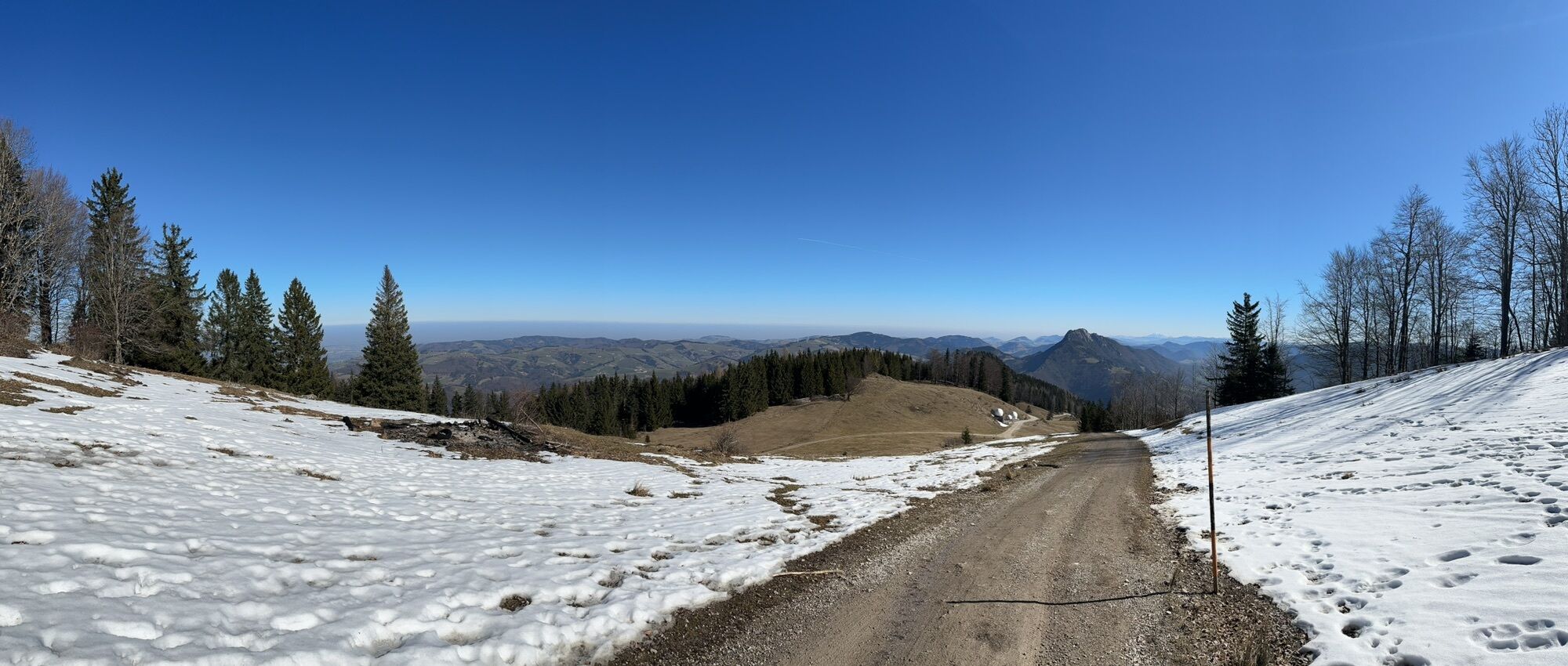
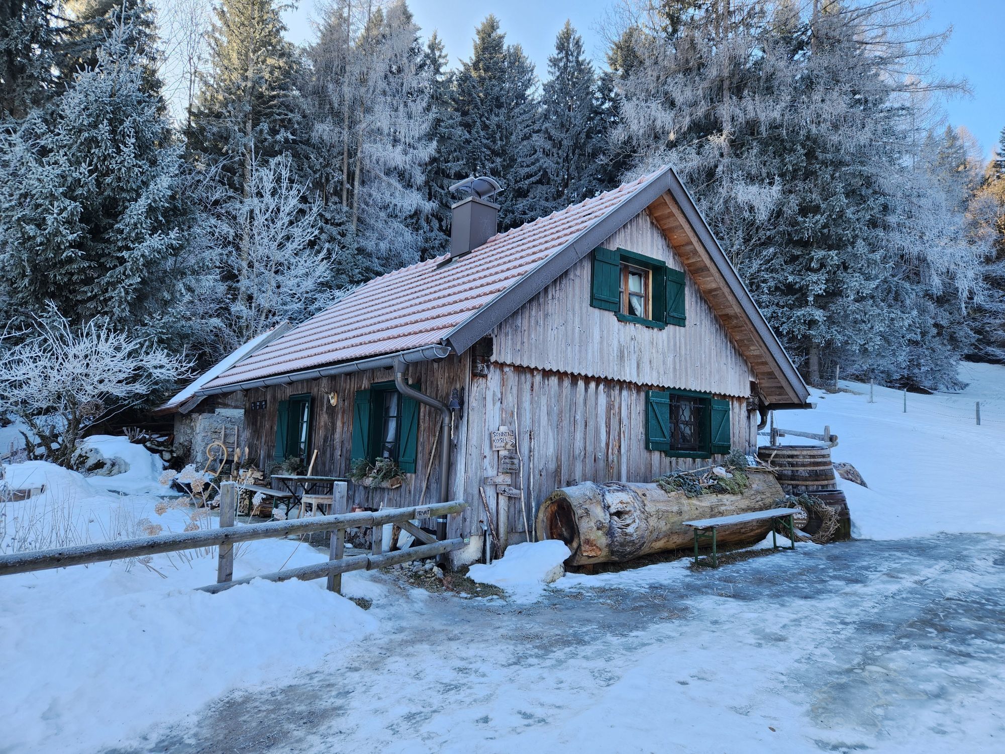
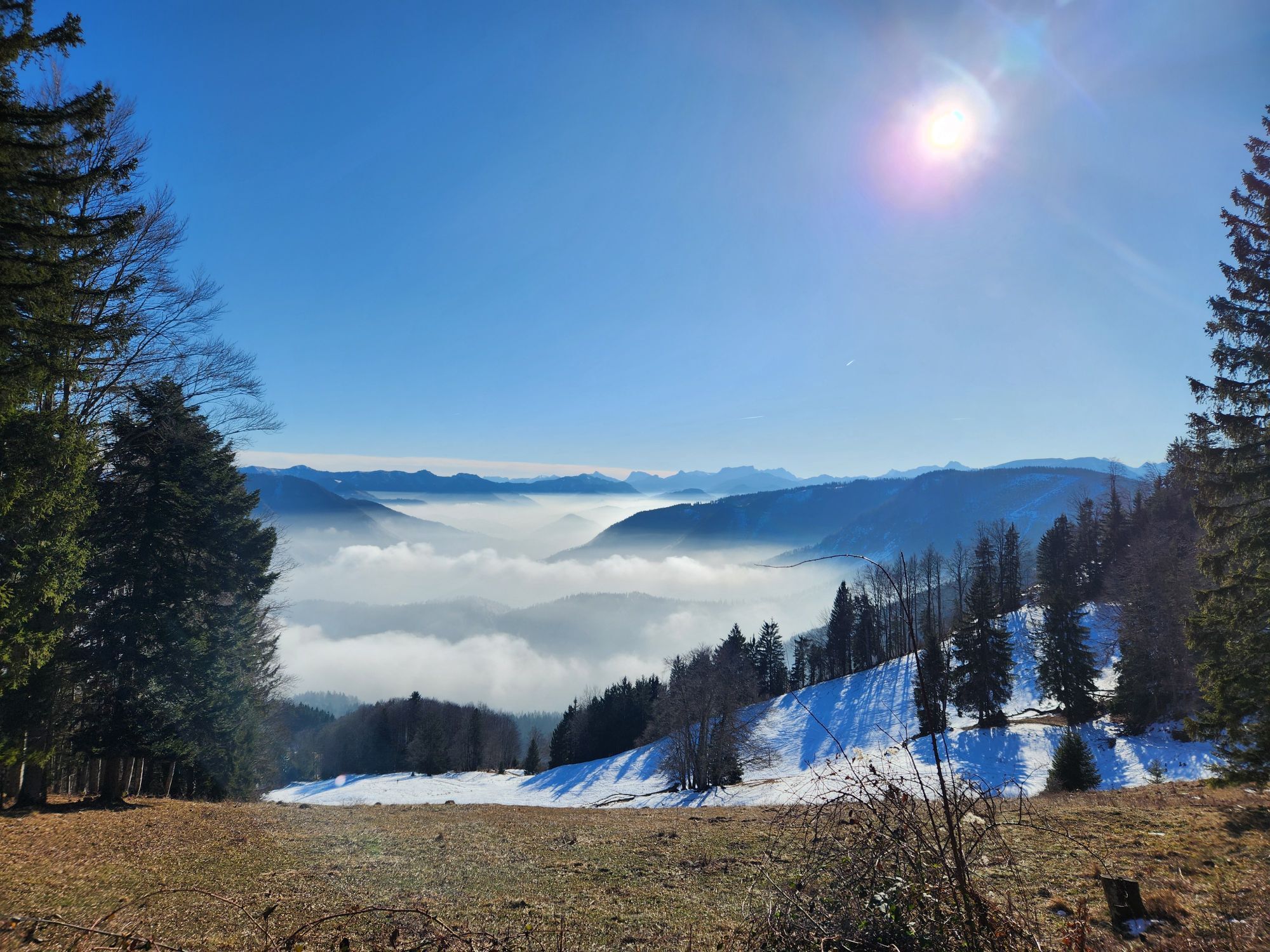
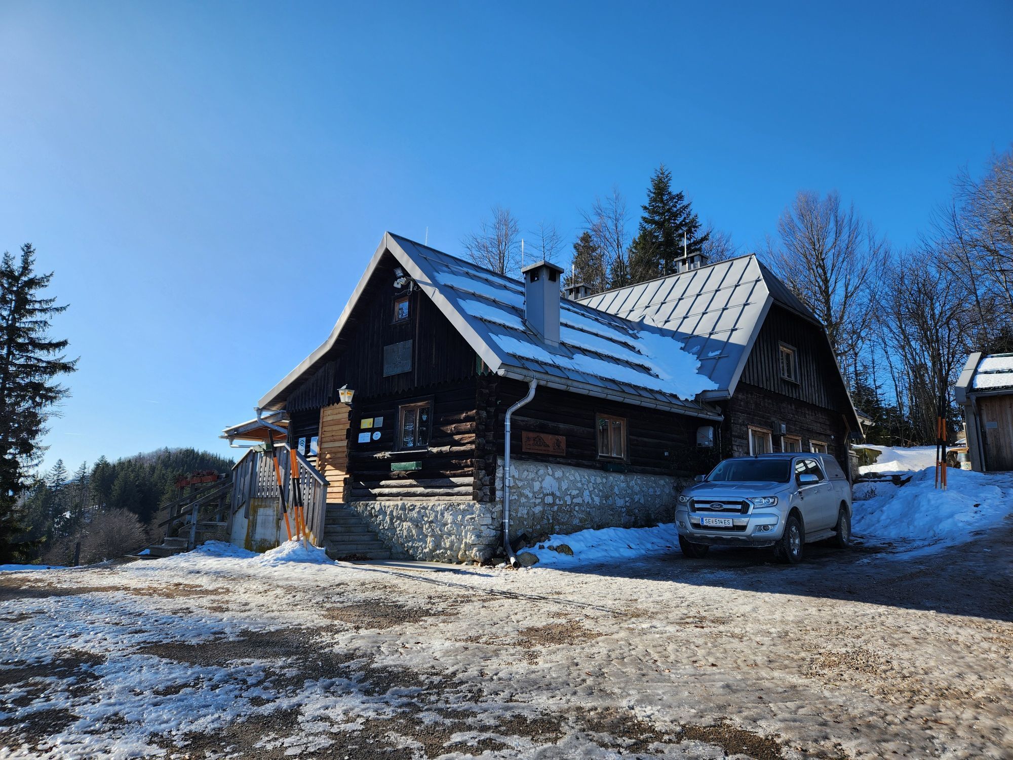
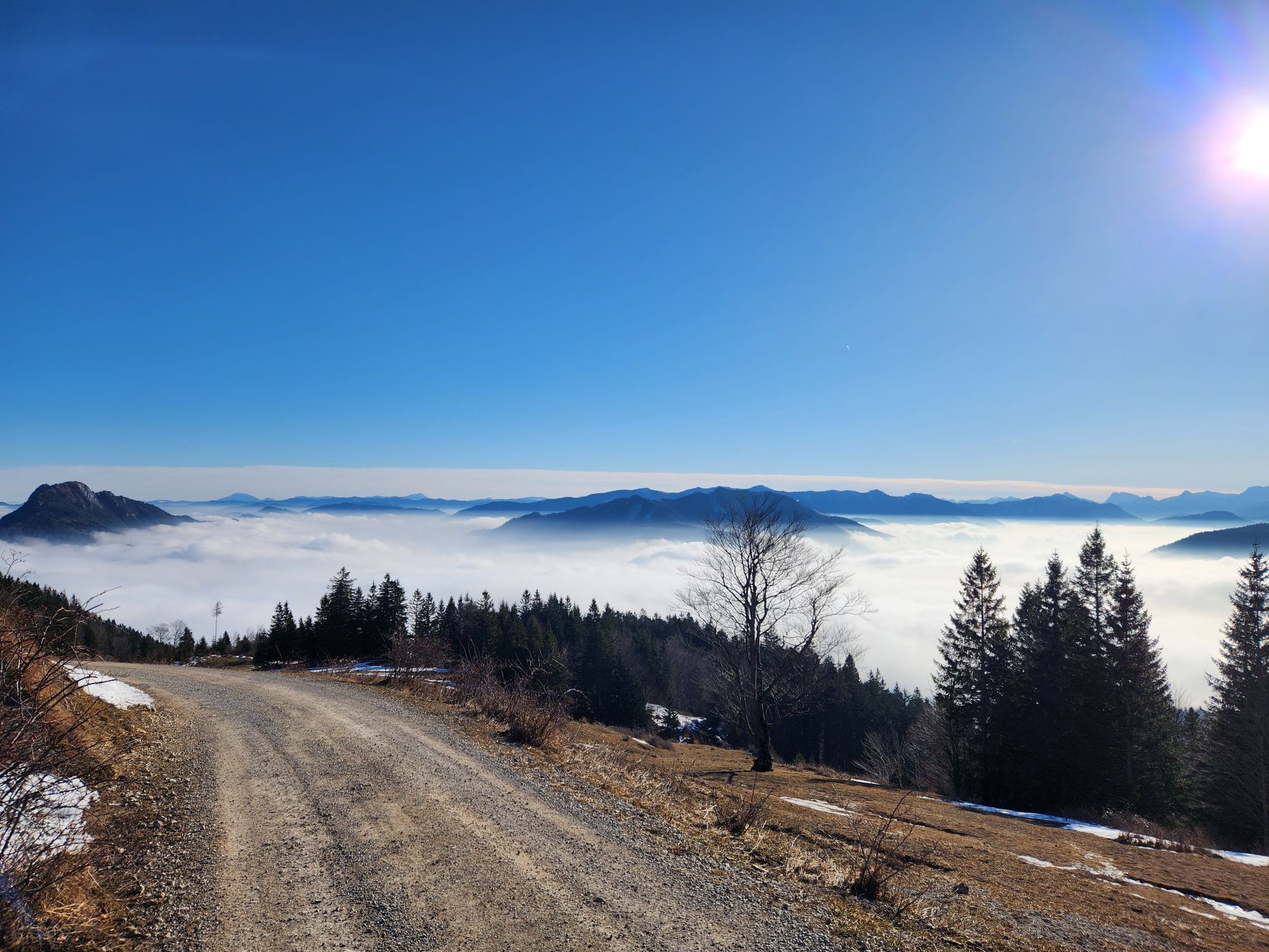
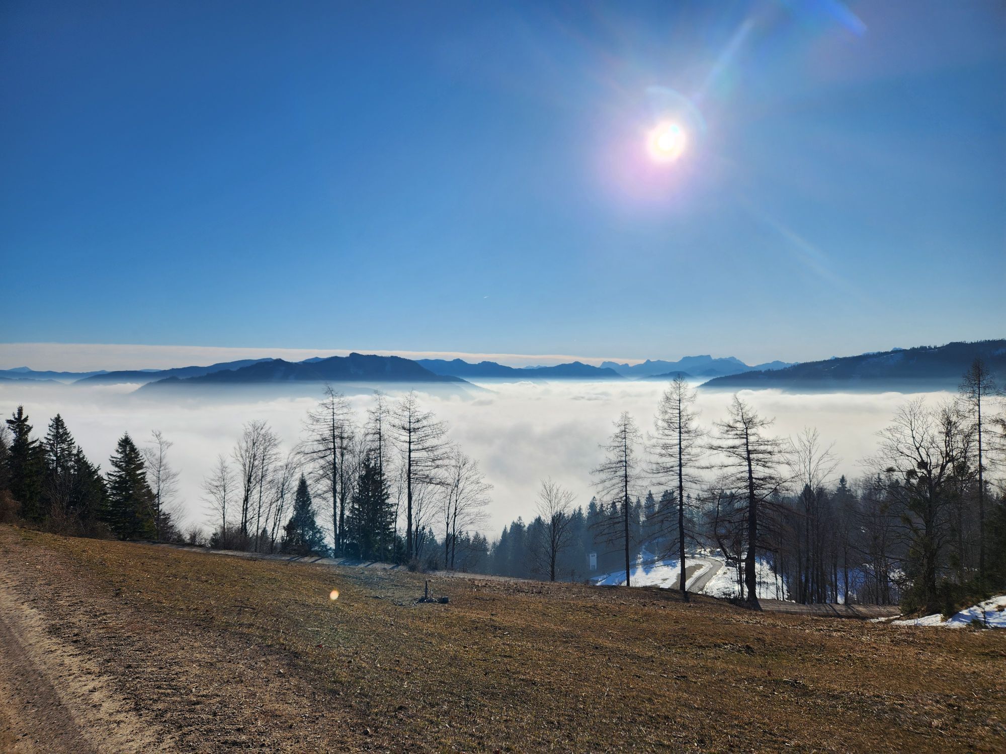
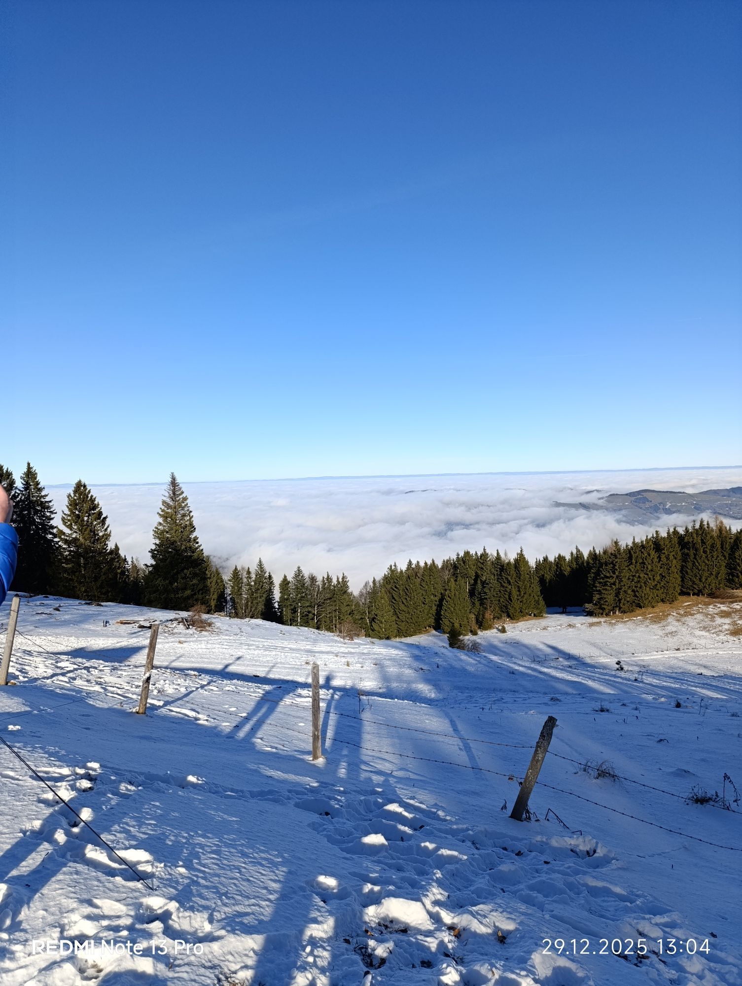
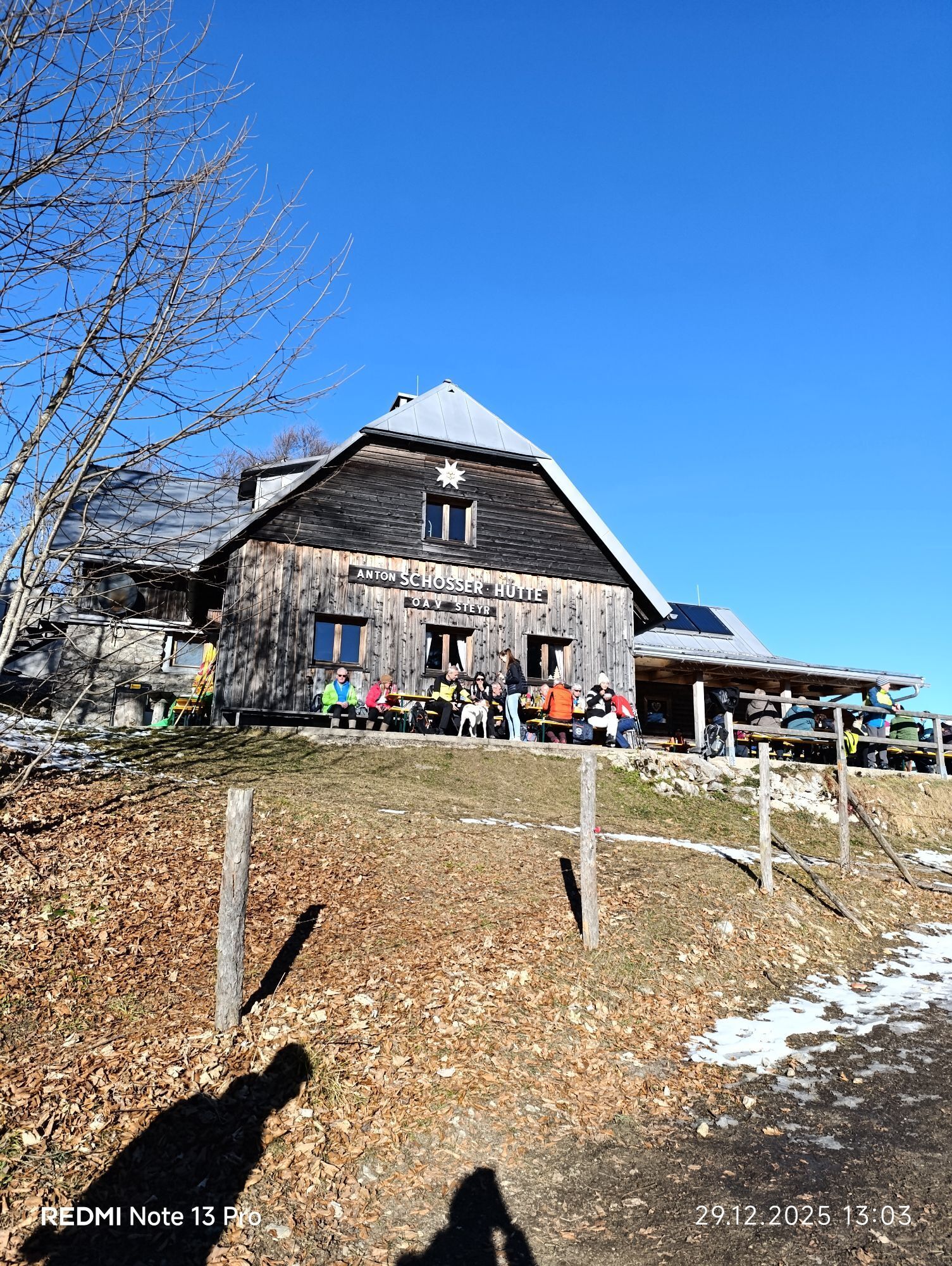
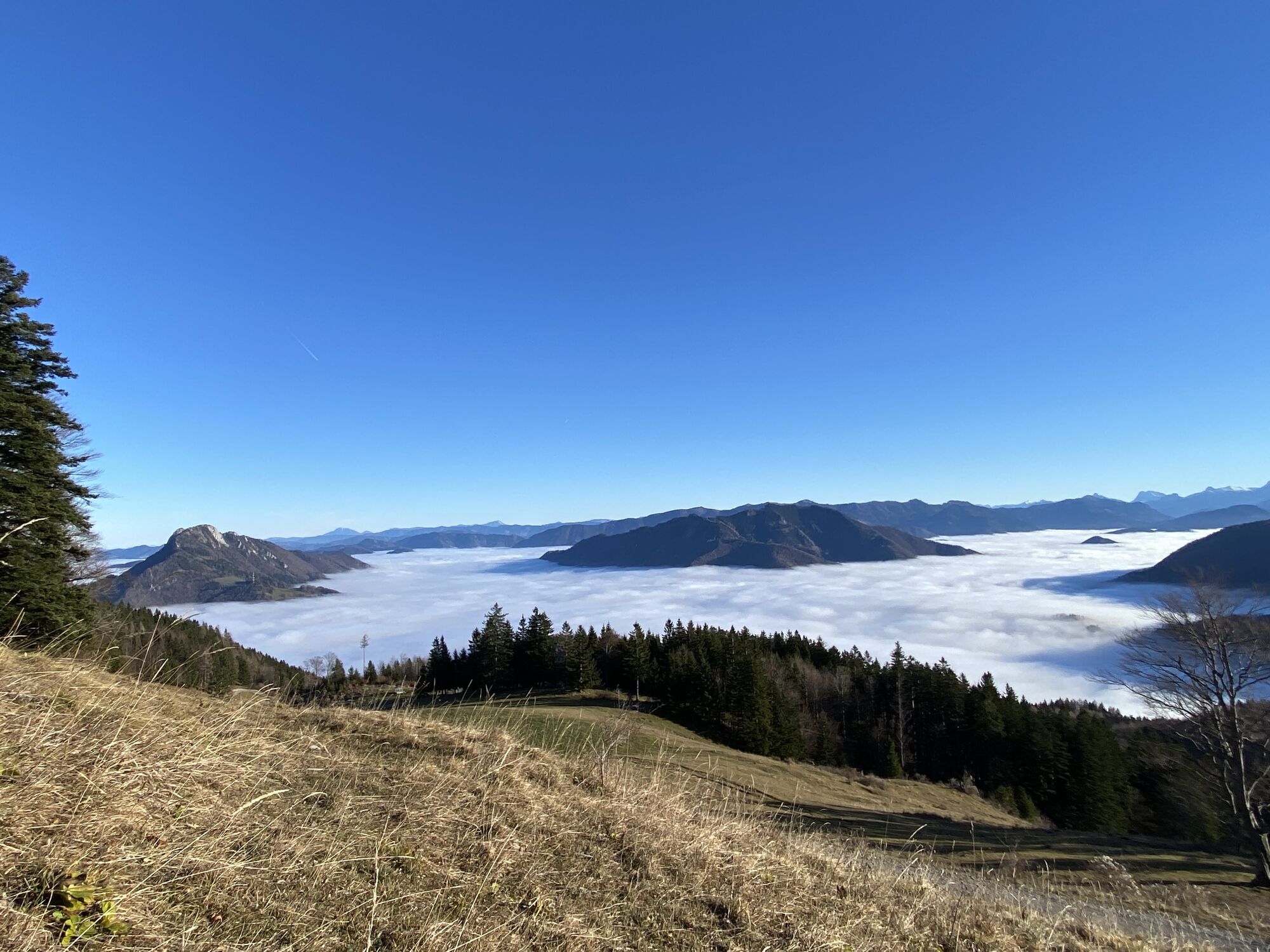
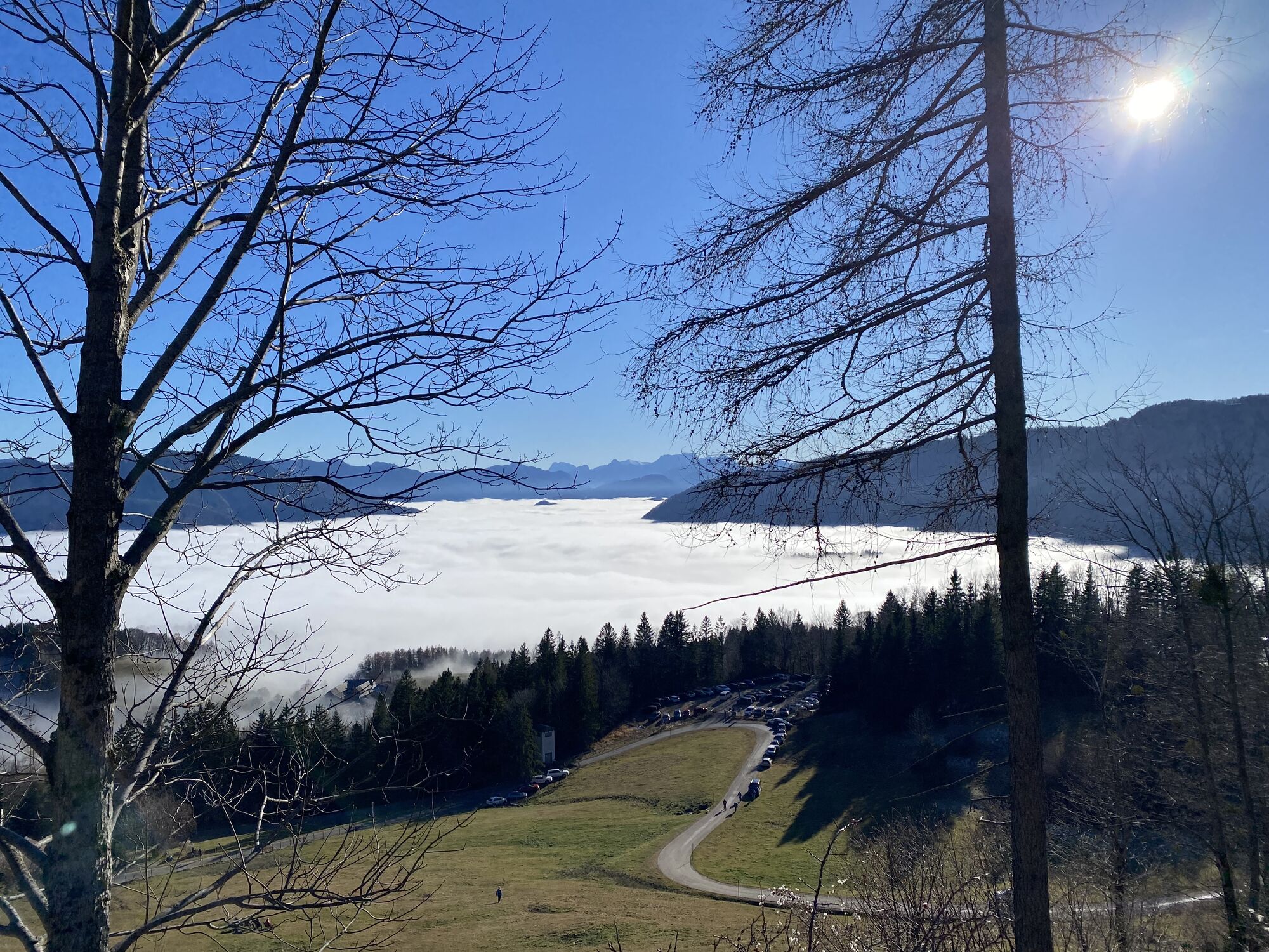
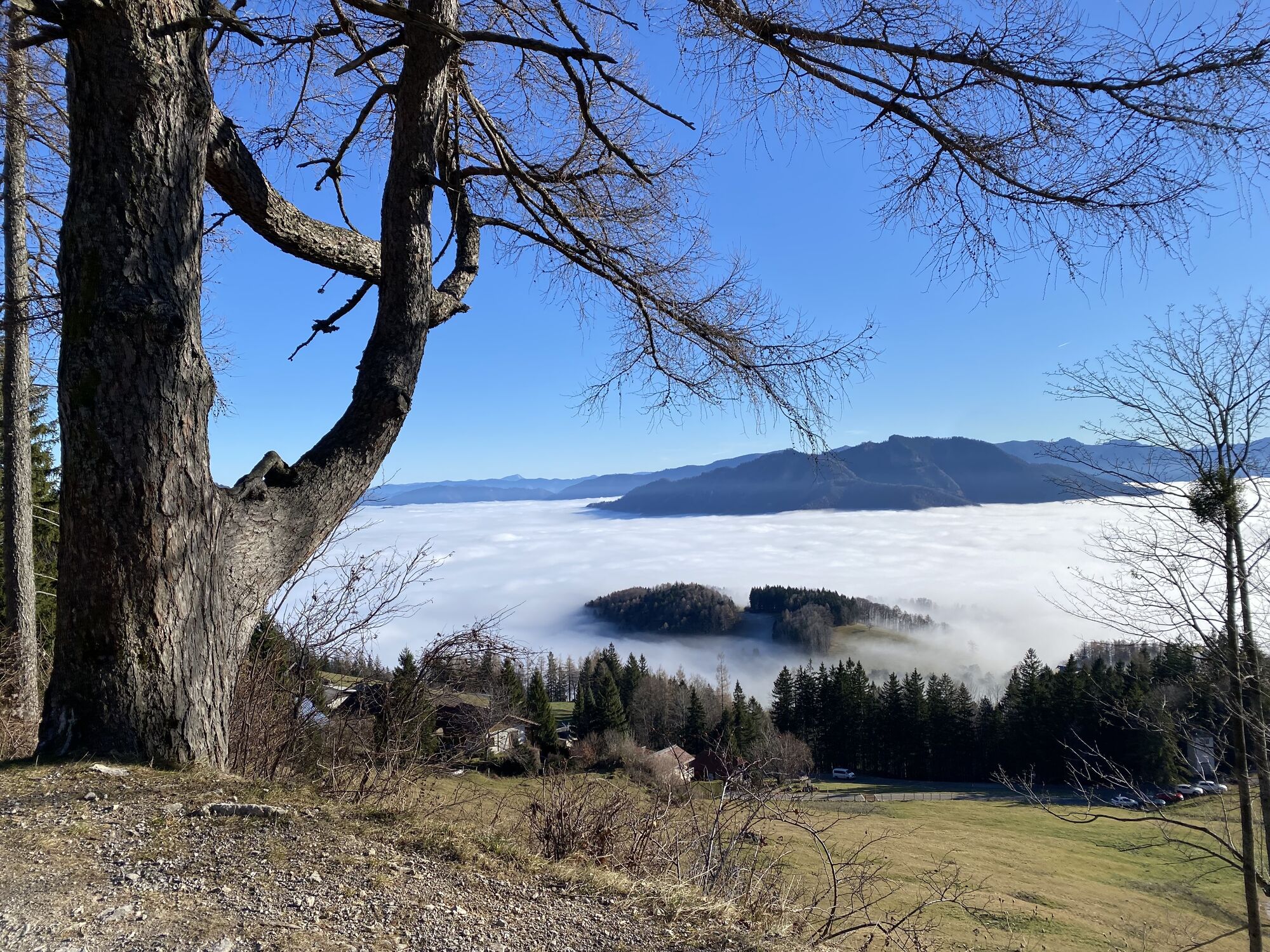
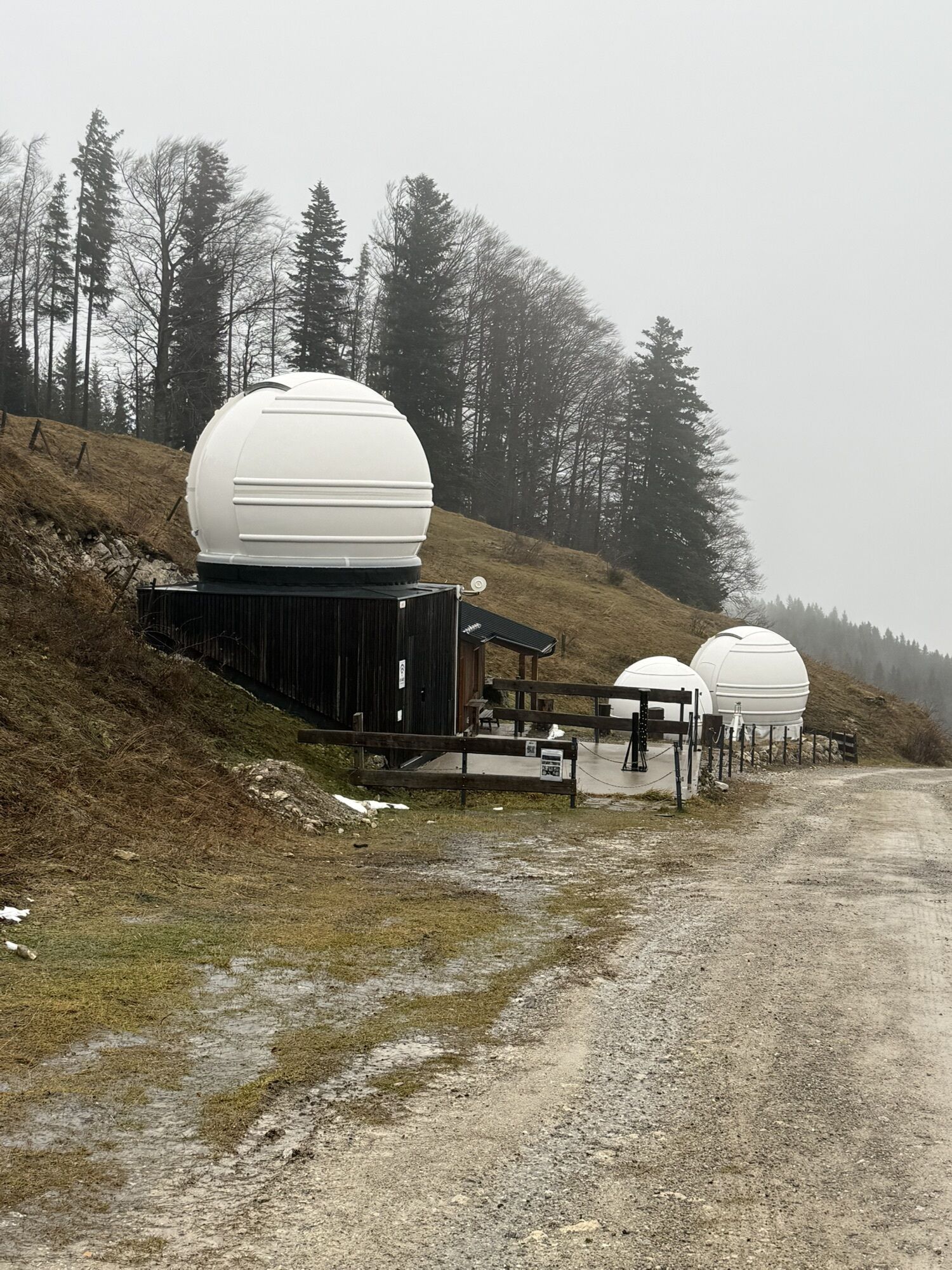


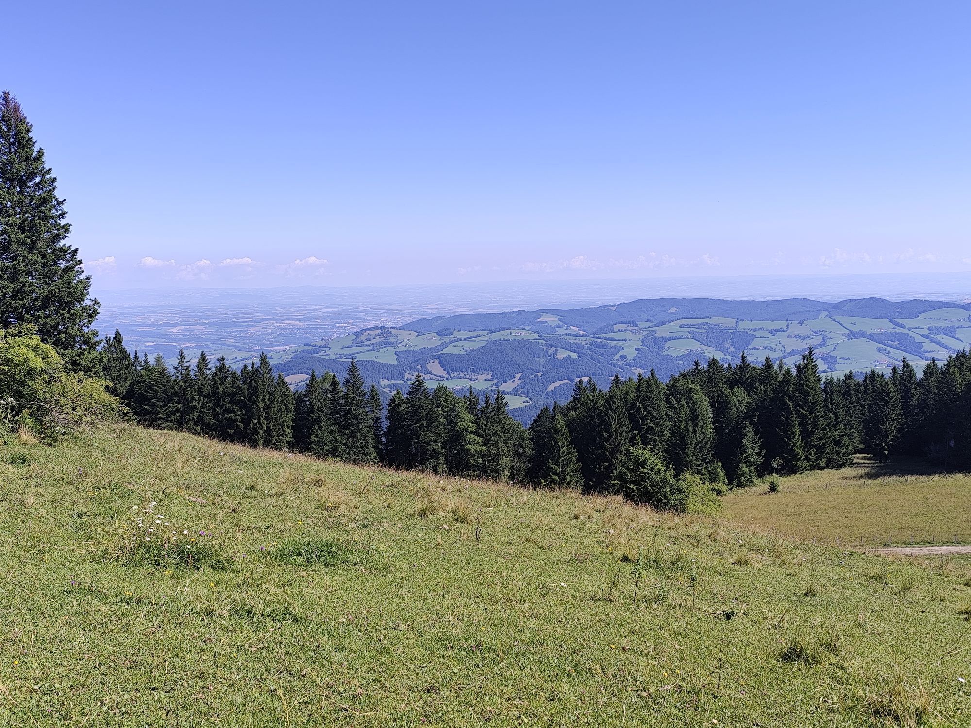
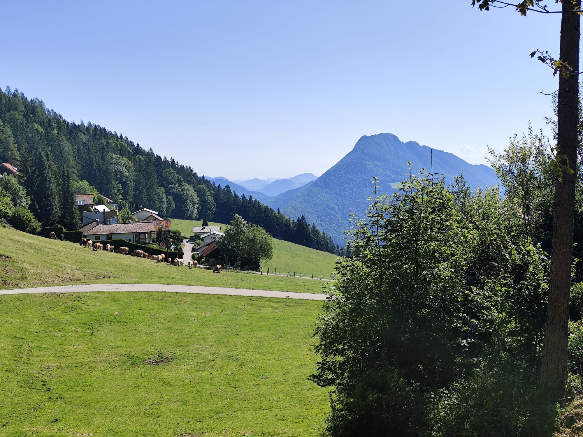
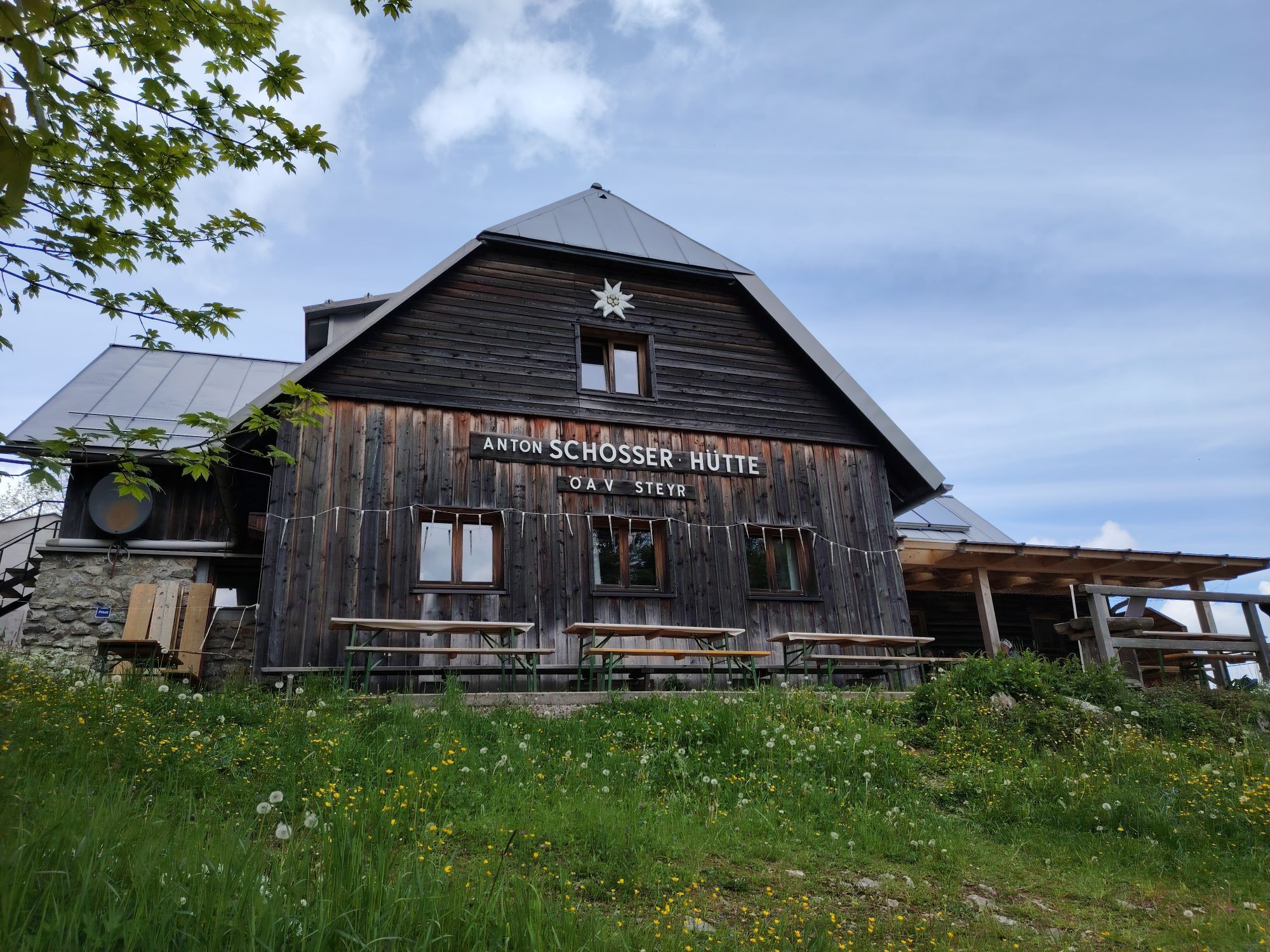
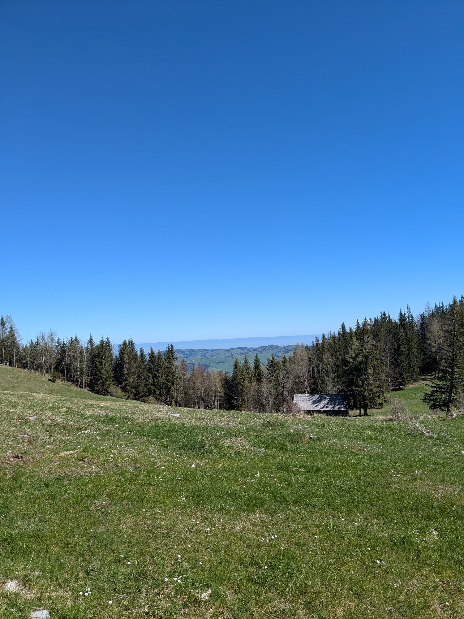
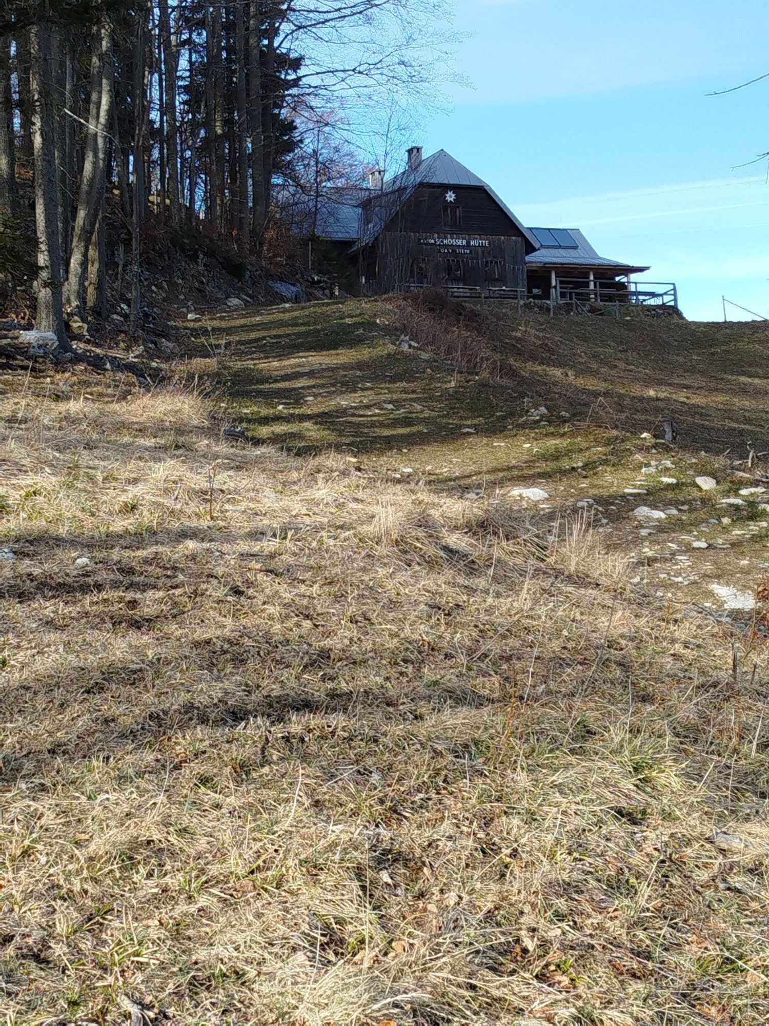
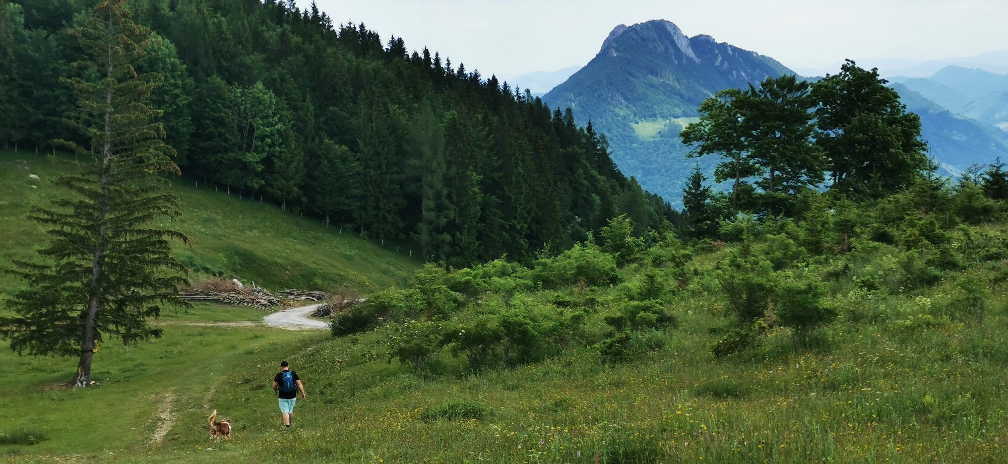
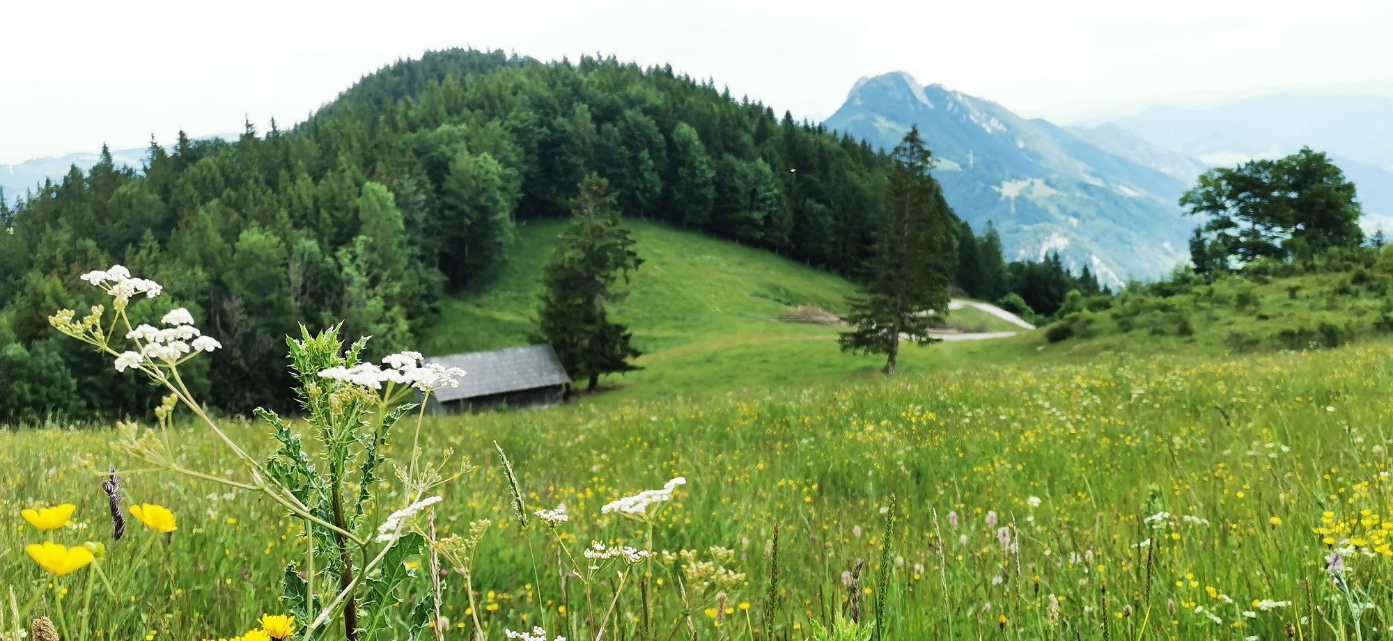
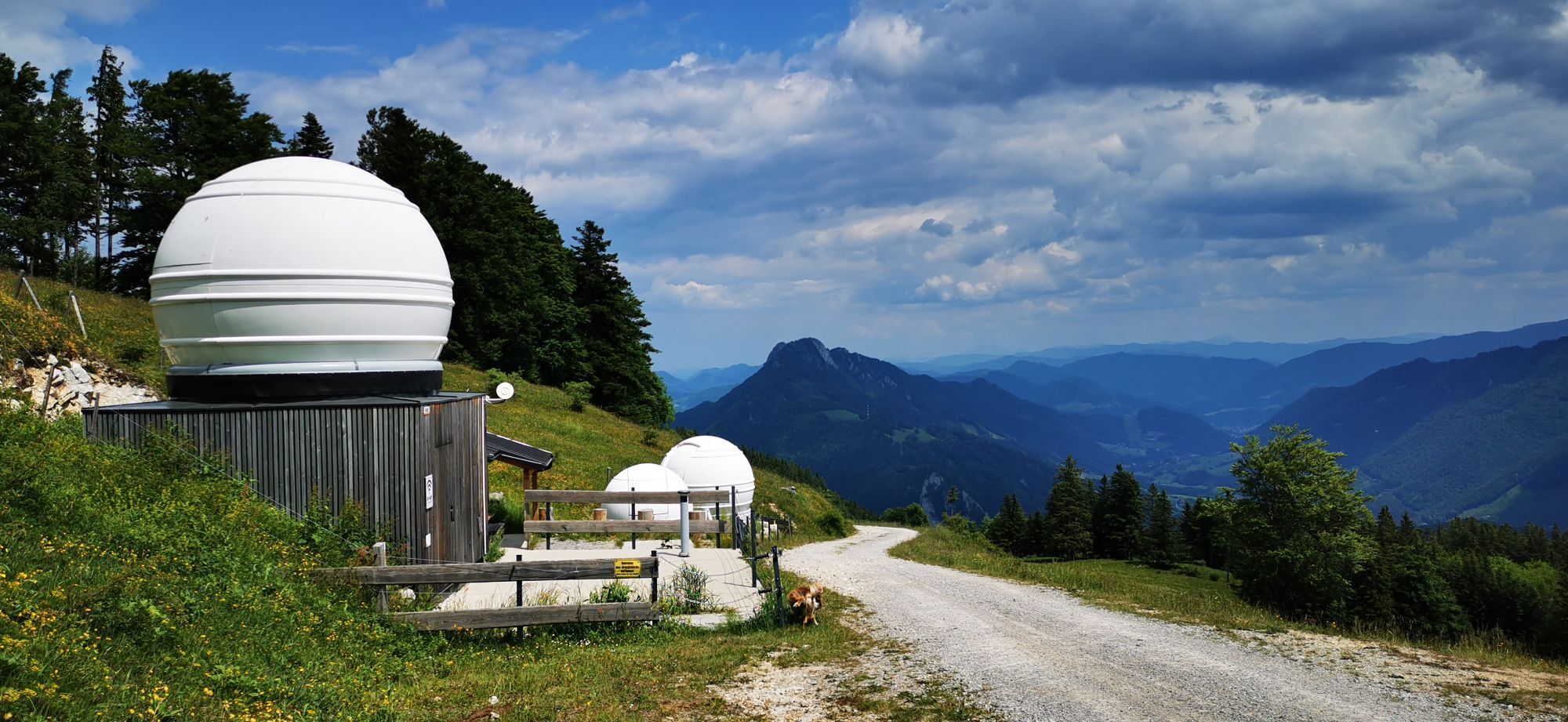
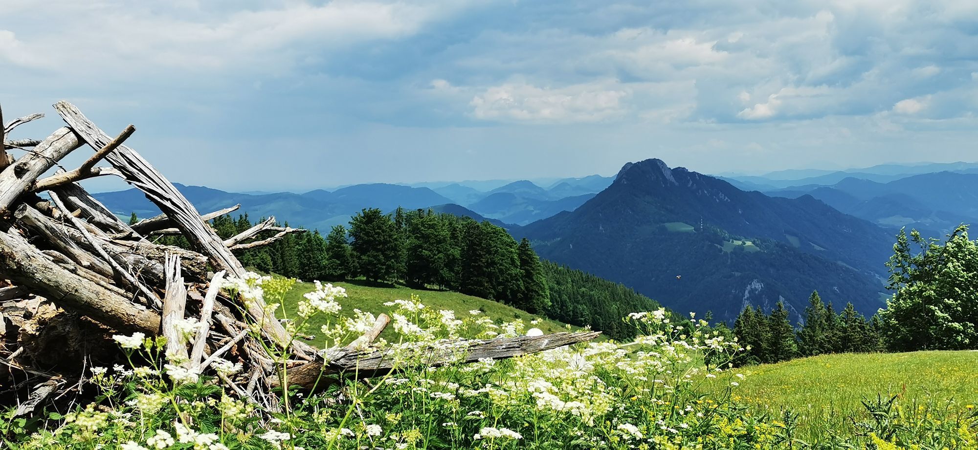


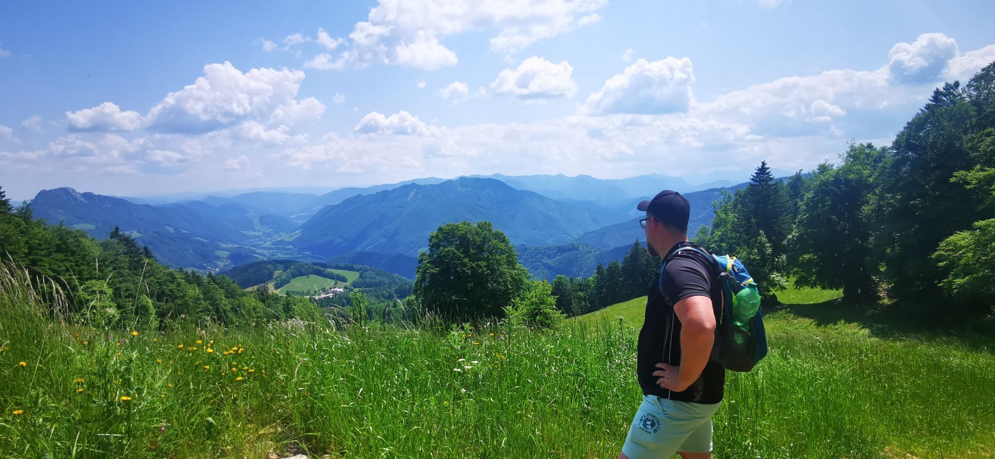
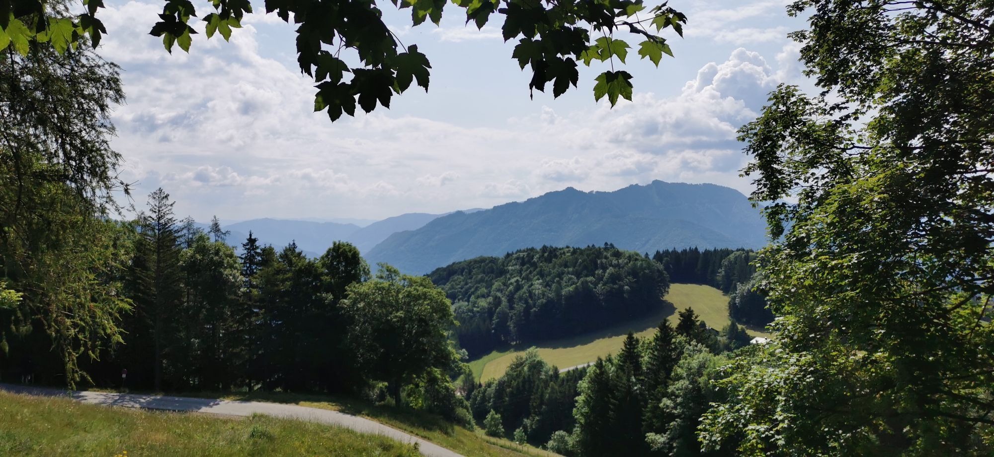
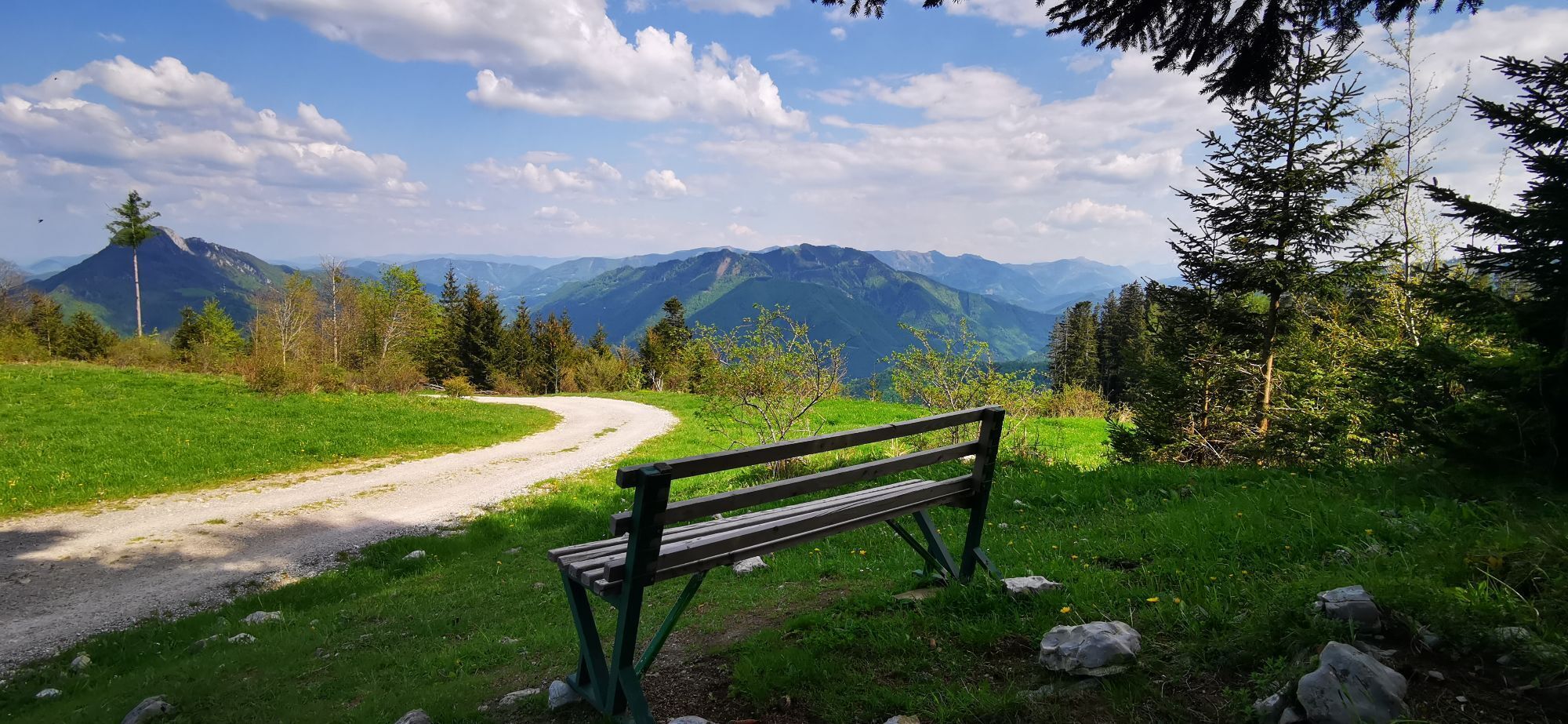
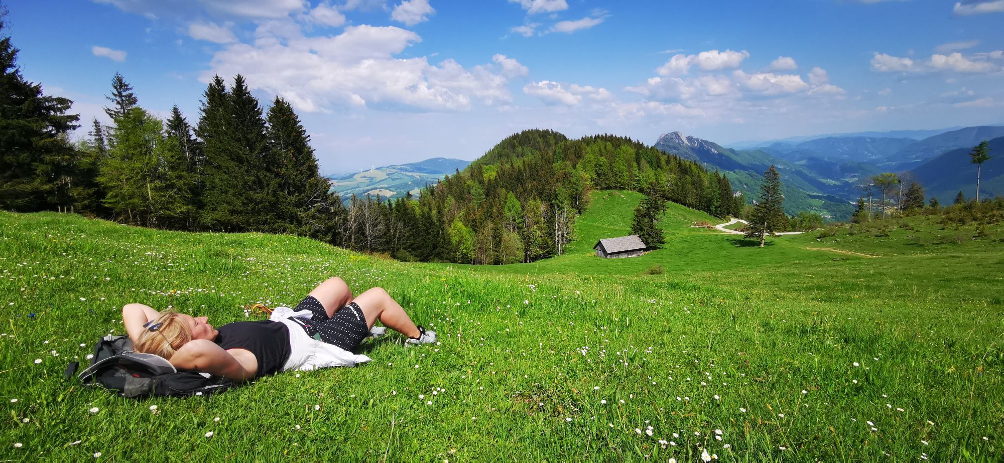

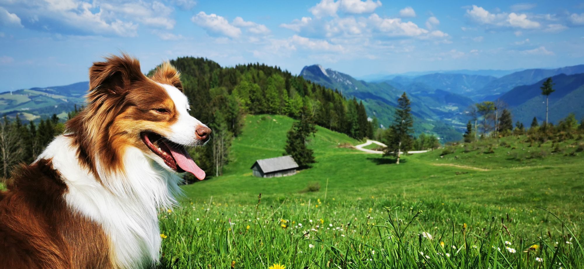
Special features along the way: Great Ennstal views from the summit of Hohe Dirn (10 minutes from the bikeroute) and at Schosser Hütte.



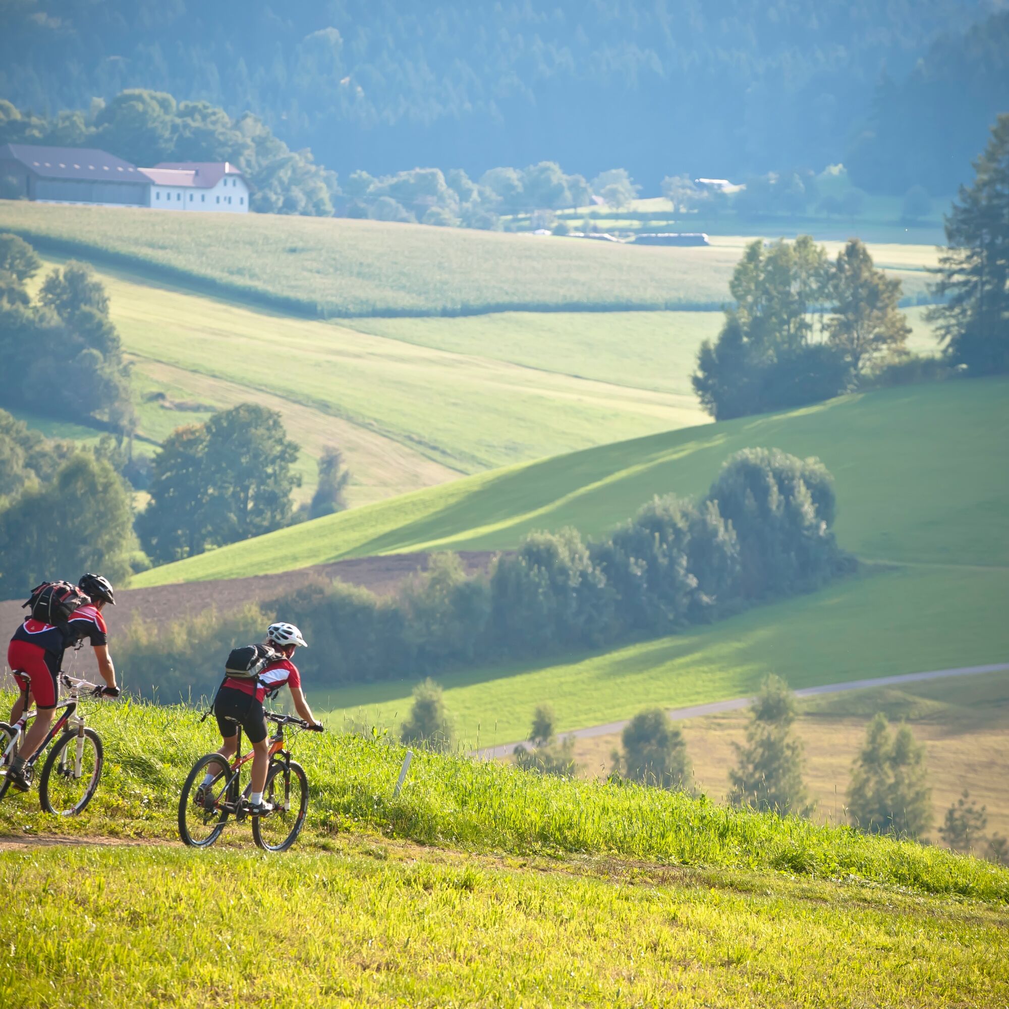

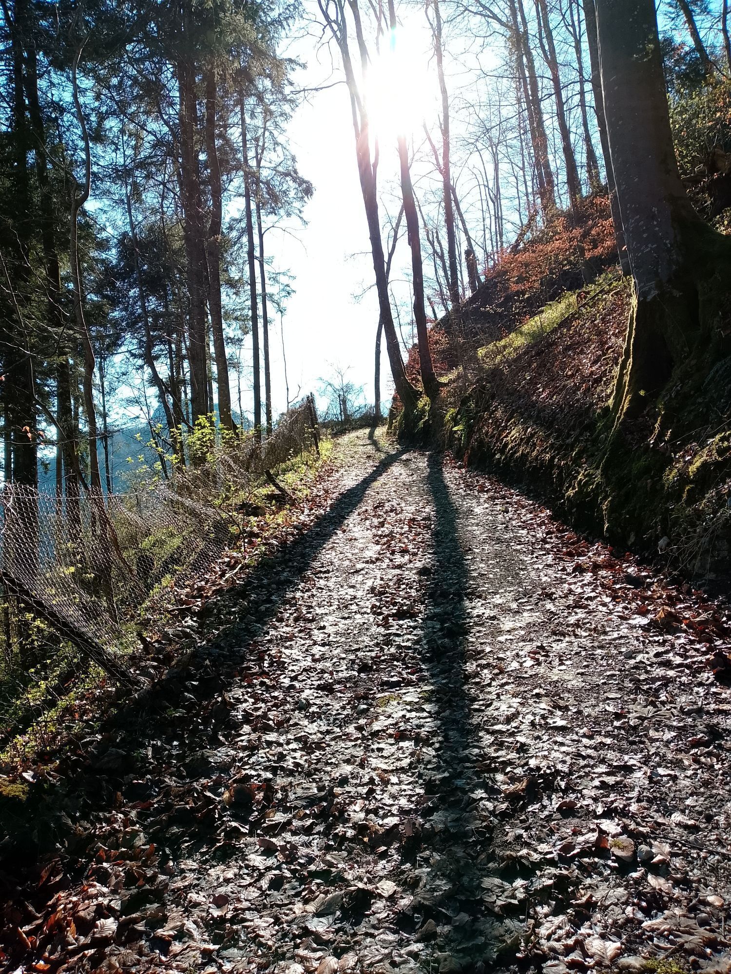
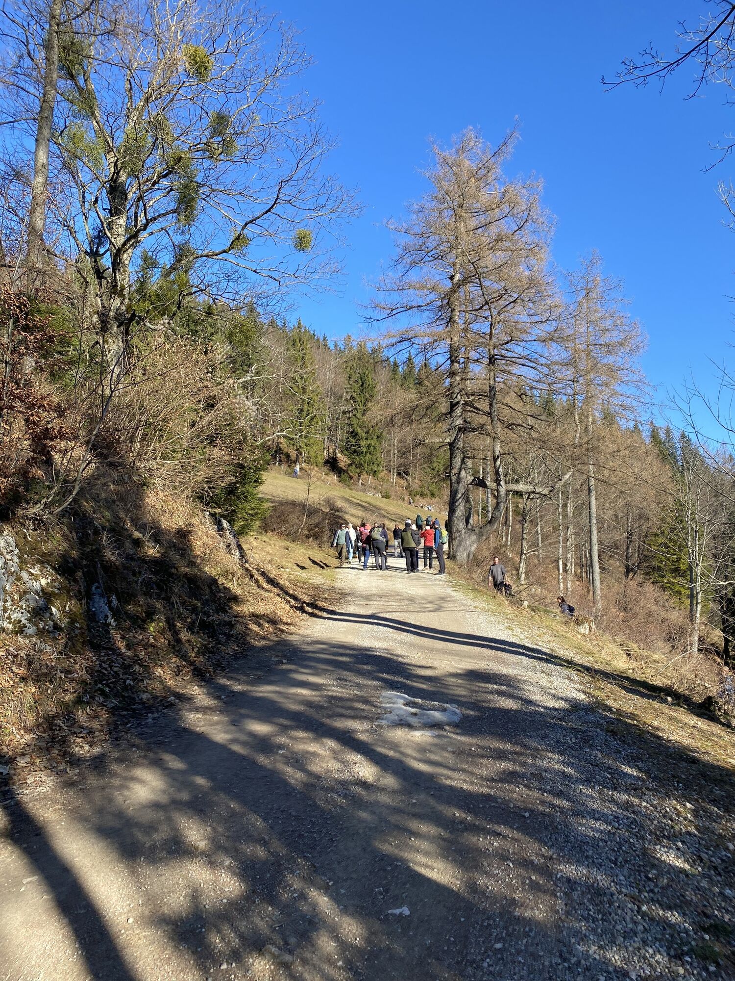
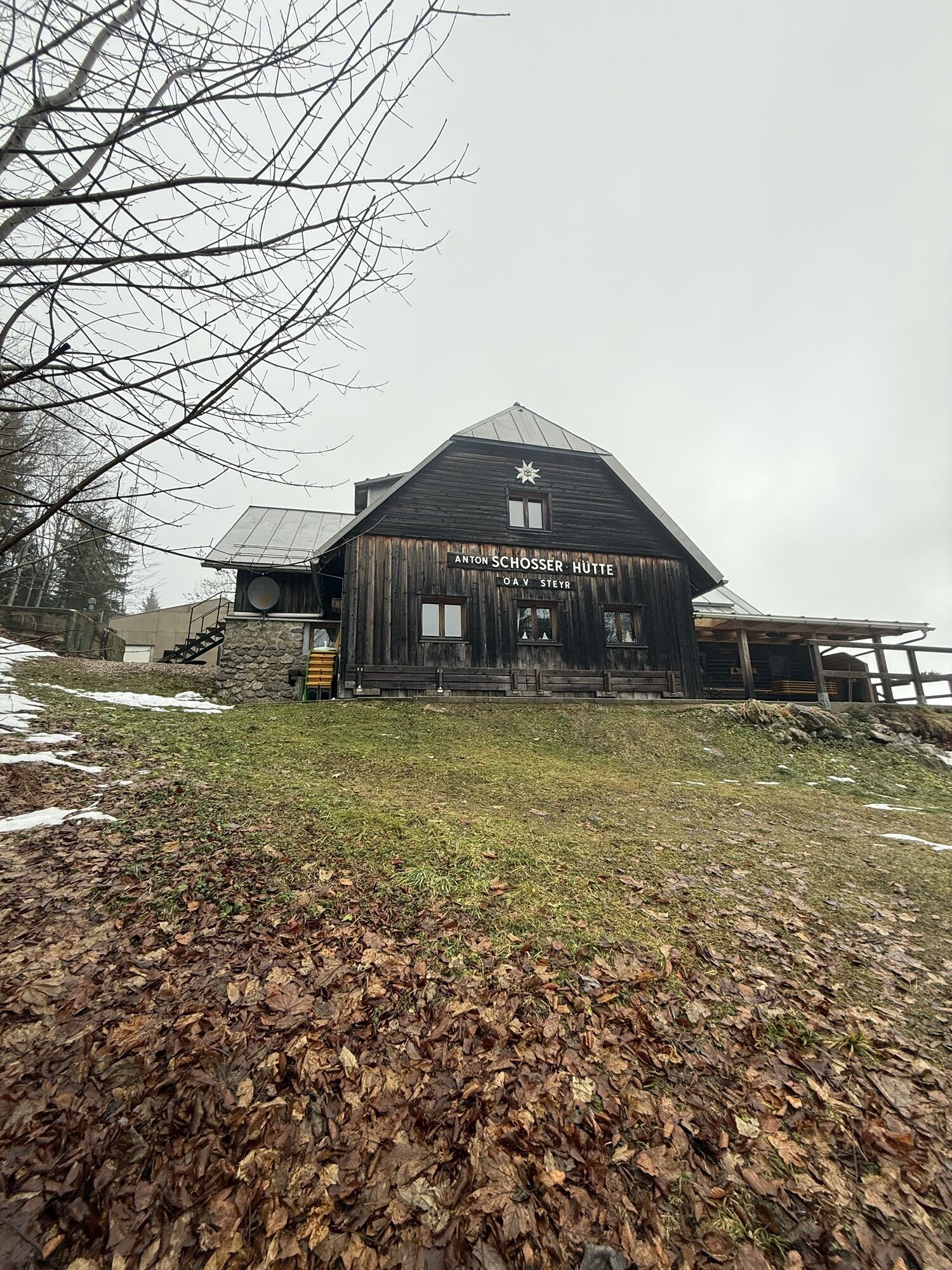
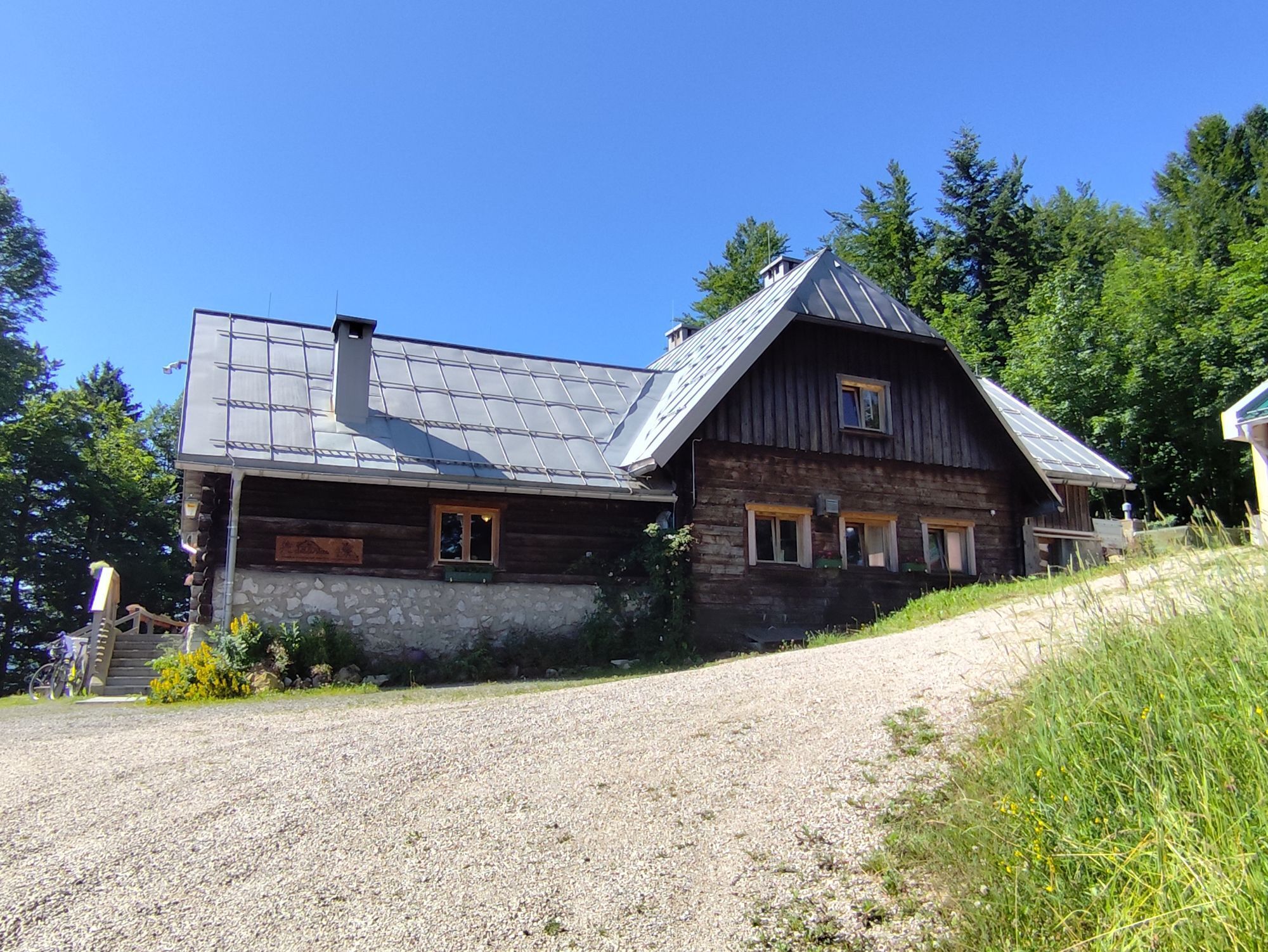
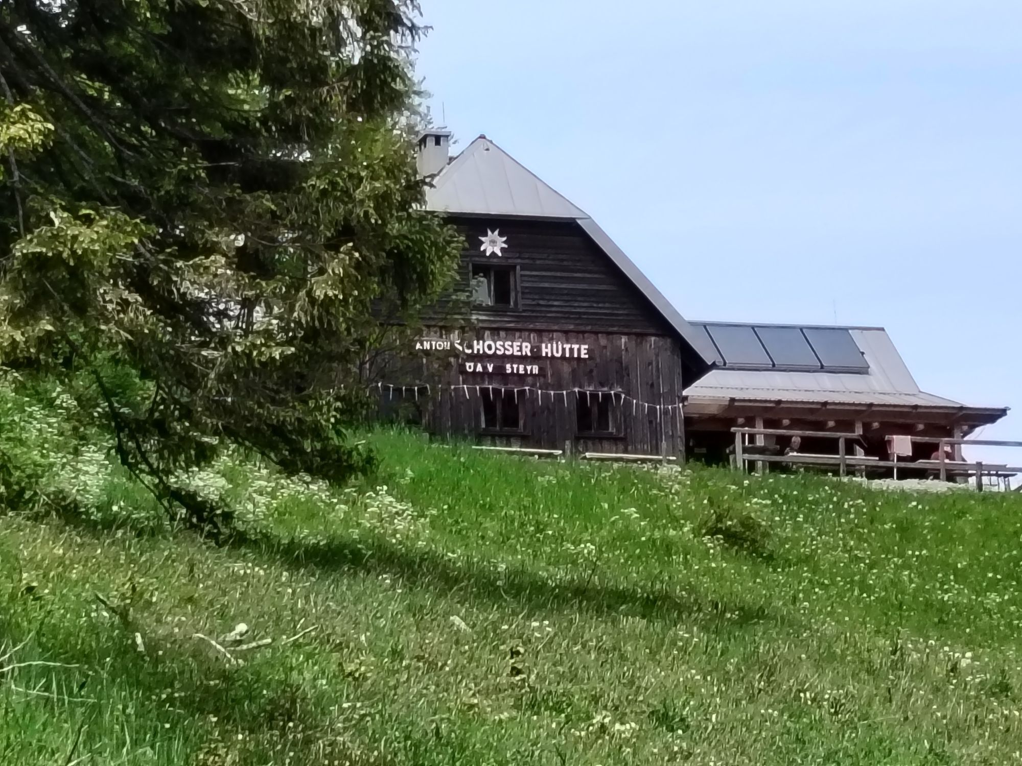
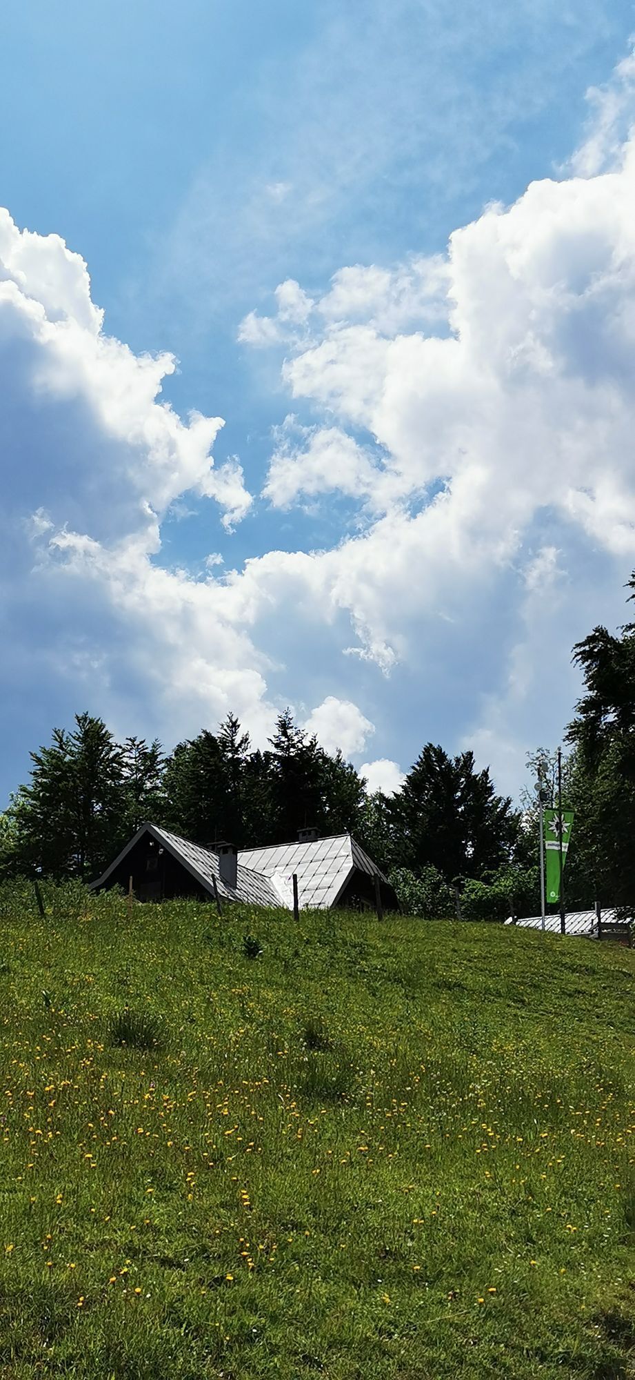
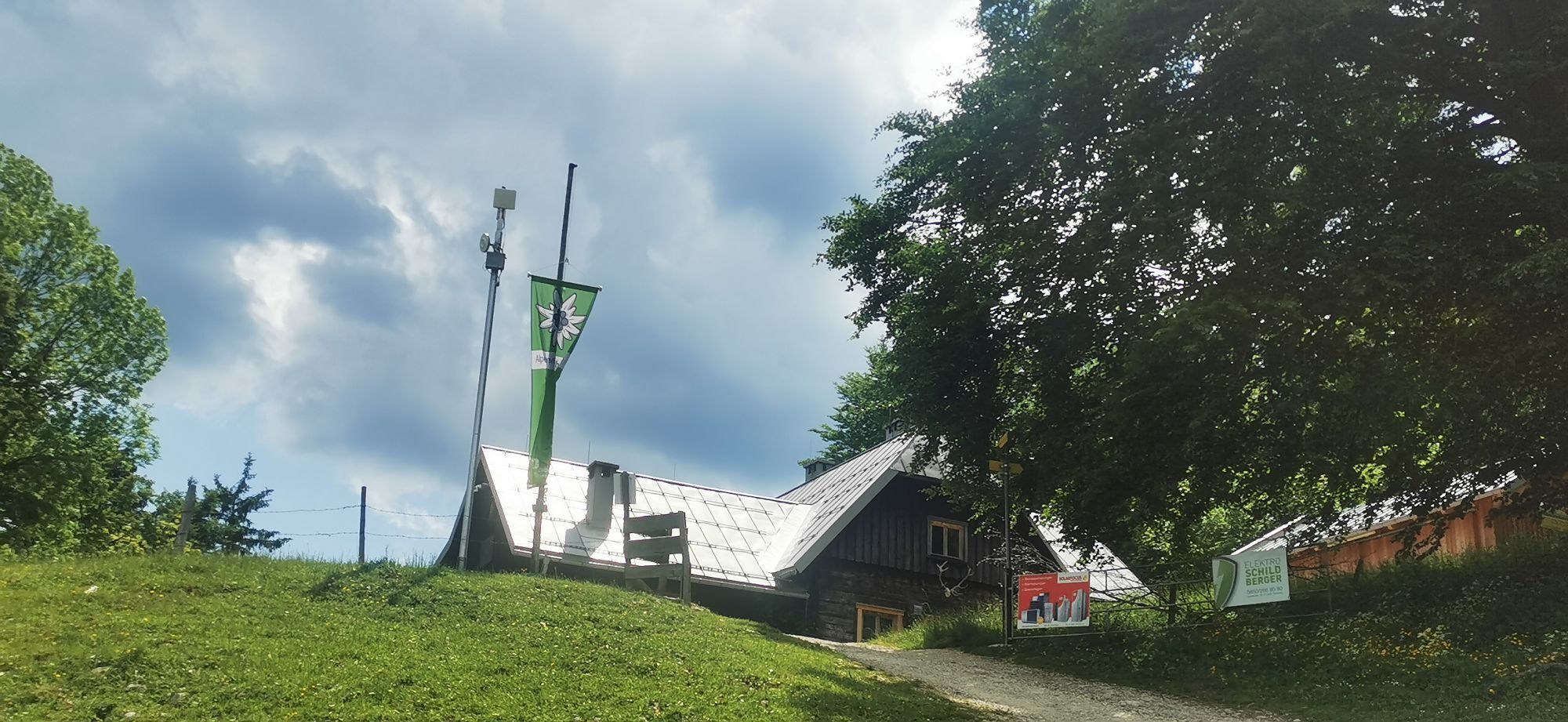
At the beginning, the mountain bike route leads comfortably along the Ennstalradweg to the Wendbach crossing. From here it goes through the Wendbach valley 11.5 km steadily uphill, there are 780 meters of altitude to cover, which corresponds to an average gradient of about 8%. In the Wendbach, however, there are some stretches of road that are considerably steeper than 12%.At the crossroads in the Mösern turn left. For about 3.3 km the route now runs in moderate ups and downs. After the no-riding sign, a pushing section begins on the hiking trail. You should park the bike briefly and take a five-minute detour to the summit of the Hohe Dirn. On the right, the hiking trail leads to the Anton Schosser Hütte. After about 200 in, this path splits. With a bike, it makes more sense to stay to the left and take the willow path below the Anton Schosser Hut, as the hiking trail to the right is too steep and narrow for pushing bikes. After half a kilometer the hut is in sight. At the Dirn parking lot, the deserved pleasure descent finally begins. The route is 7 km long and asphalted throughout.
Take sun and rain protection and possibly bike repair kid.
Inquire in advance about any road or trail closures along the route.
You can obtain map material at www.steyr-nationalpark.at



Webové kamery z prehliadky


Obľúbené výlety v okolí
-
4,9
Ennser Hut - Almkogel (from Bamacher car park)
strednáTuristika 3,53 km -
4,7
Grünburger Hut via Dorngraben Molln
strednáTuristika 3,43 km -
4,6
Schoberstein (from Molln)
strednáTuristika 3,63 km -
4,9
Dambergwarte
svetloTuristika 3,28 km -
4,8
Steinerner Jäger (1185m) und Schieferstein (1206m) ab Parkplatz Hochhabichler
strednáTuristika 4,46 km -
4,7
Hoher Nock von Rettenbach Rettenbach, Windischgarsten,
strednáTuristika 11,5 km -
4,7
Steinerner Jäger (1185m) und Schieferstein (1206m) ab Parkplatz Hack
ťažkéTuristika 8,58 km -
4,7
GROSSRAMING Bamacher, Burgspitz, Almkogel, Ennshütte 20240730
strednáTuristika 10 km -
4,7
Kleiner und Großer Landsberg (3.7.2019) mit Sonnenuntergang
strednáTuristika 3,51 km -
4,5
Rinnende Mauer - Gorge Trail
strednáTuristika 7,20 km
Turistika a stopovanie


Nenechajte si ujsť ponuky a inšpiráciu na ďalšiu dovolenku
Vaša e-mailová adresa bol pridaný do poštového zoznamu.





