







Benedict pilgrimage route Kremstal stage 2
Úroveň náročnosti: T1
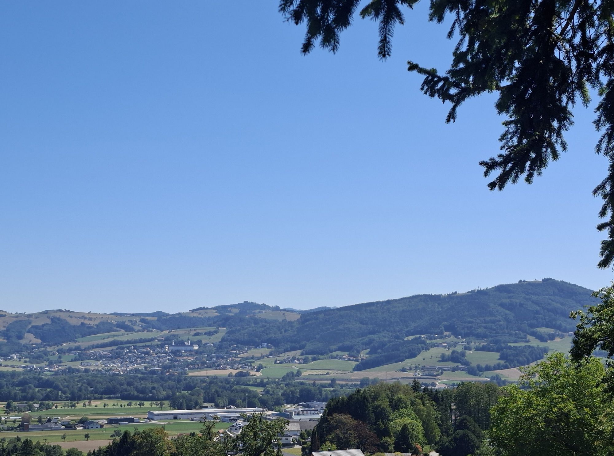
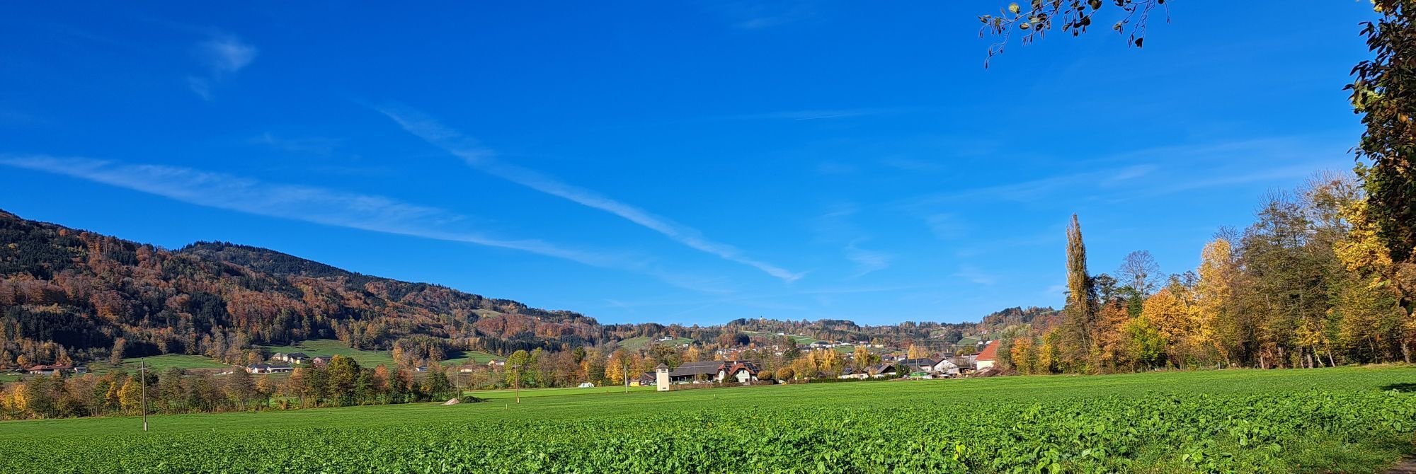
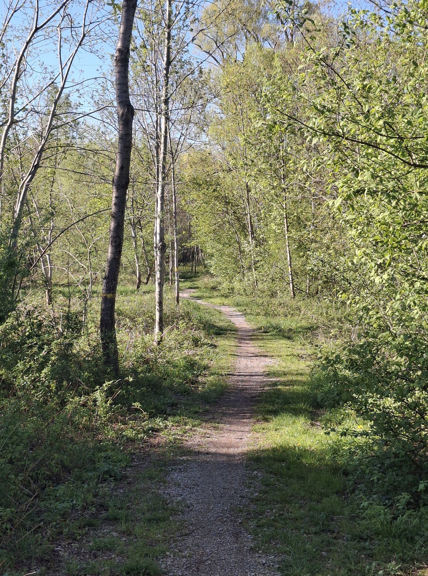
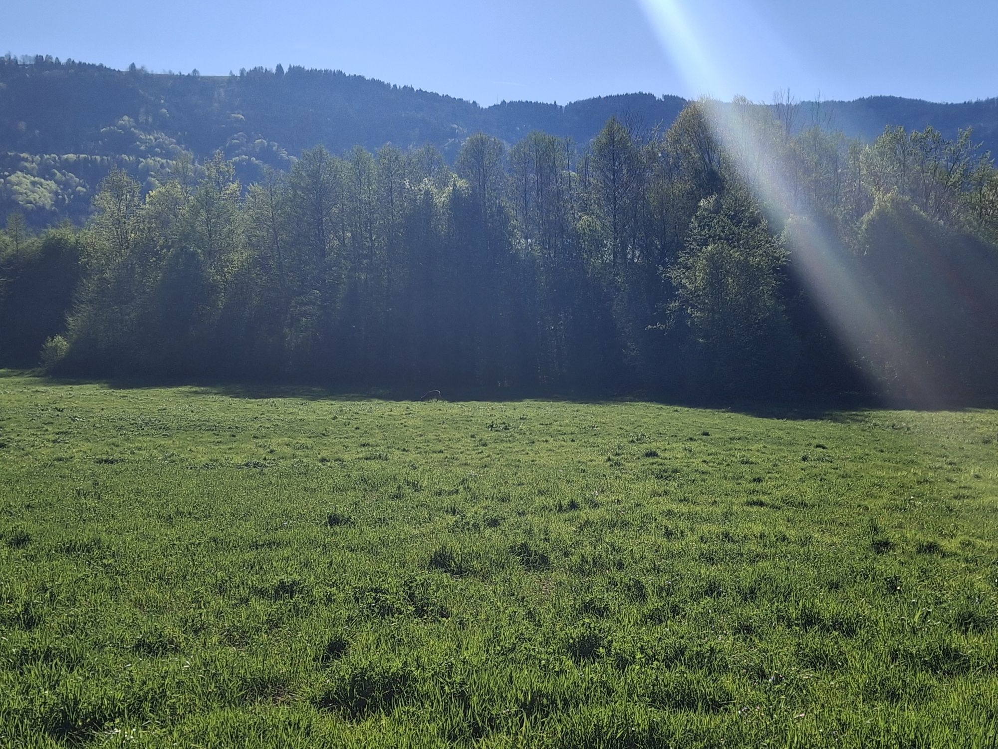
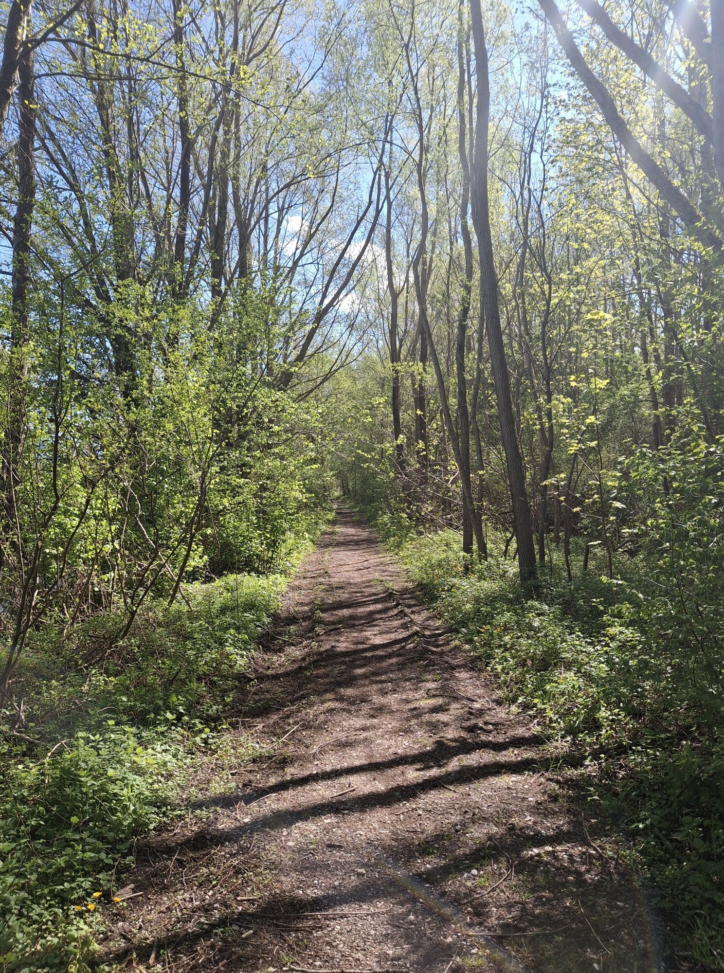
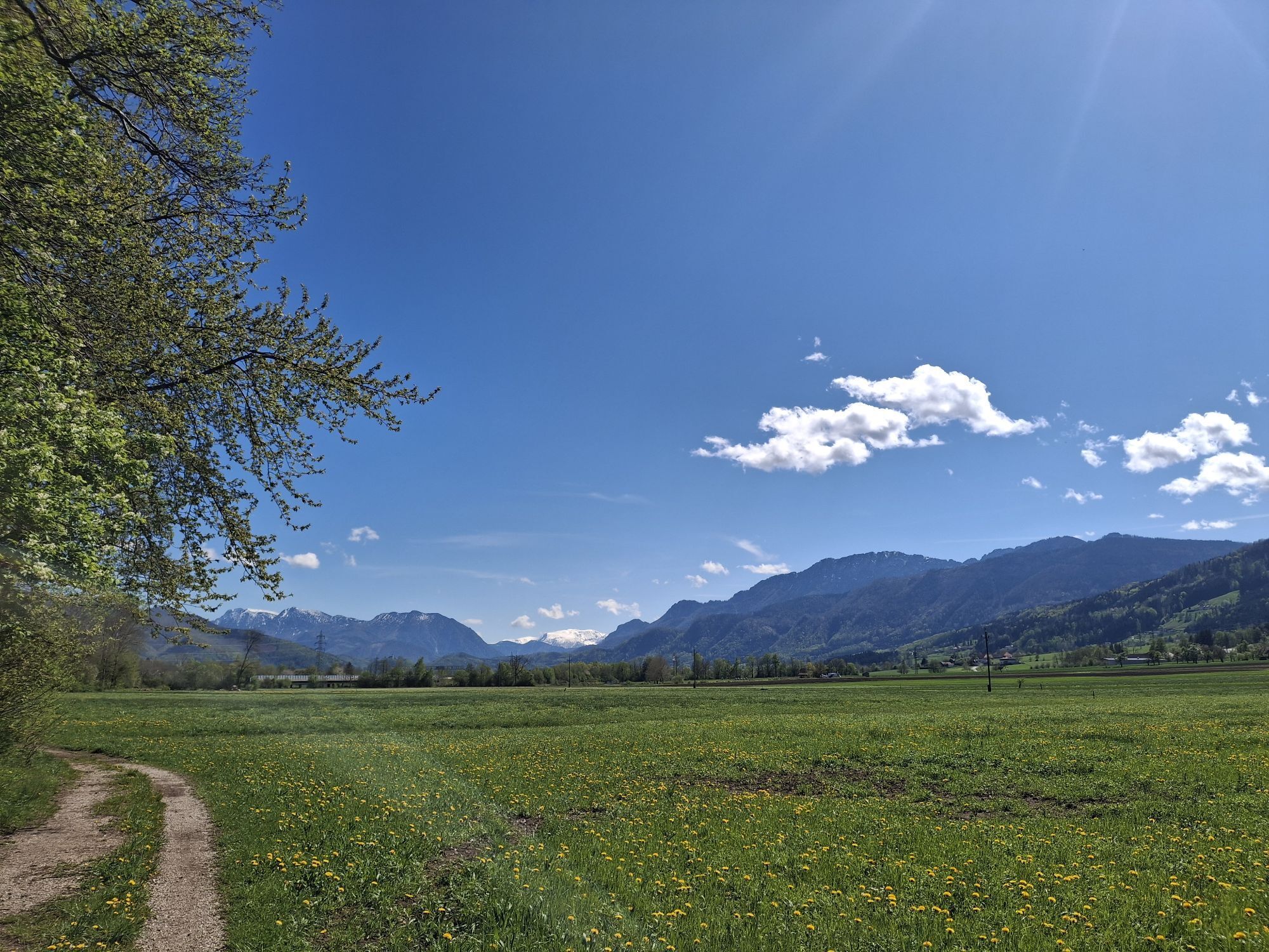
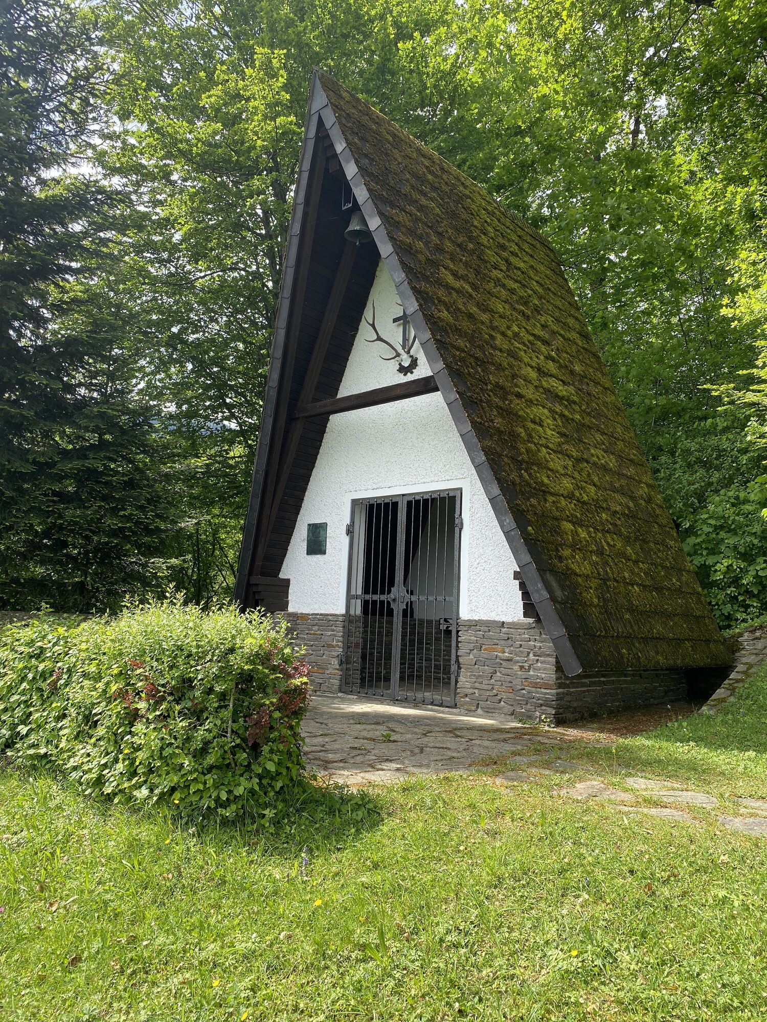
The villages of Schlierbach, Nußbach, Wartberg, Inzersdorf, Micheldorf and the district capital of Kirchdorf are nestled in the marvellous valley landscape. The route through these villages is for the...
Each place has its own story to tell, so pilgrims are advised to take in the many views and insights and let them sink in.

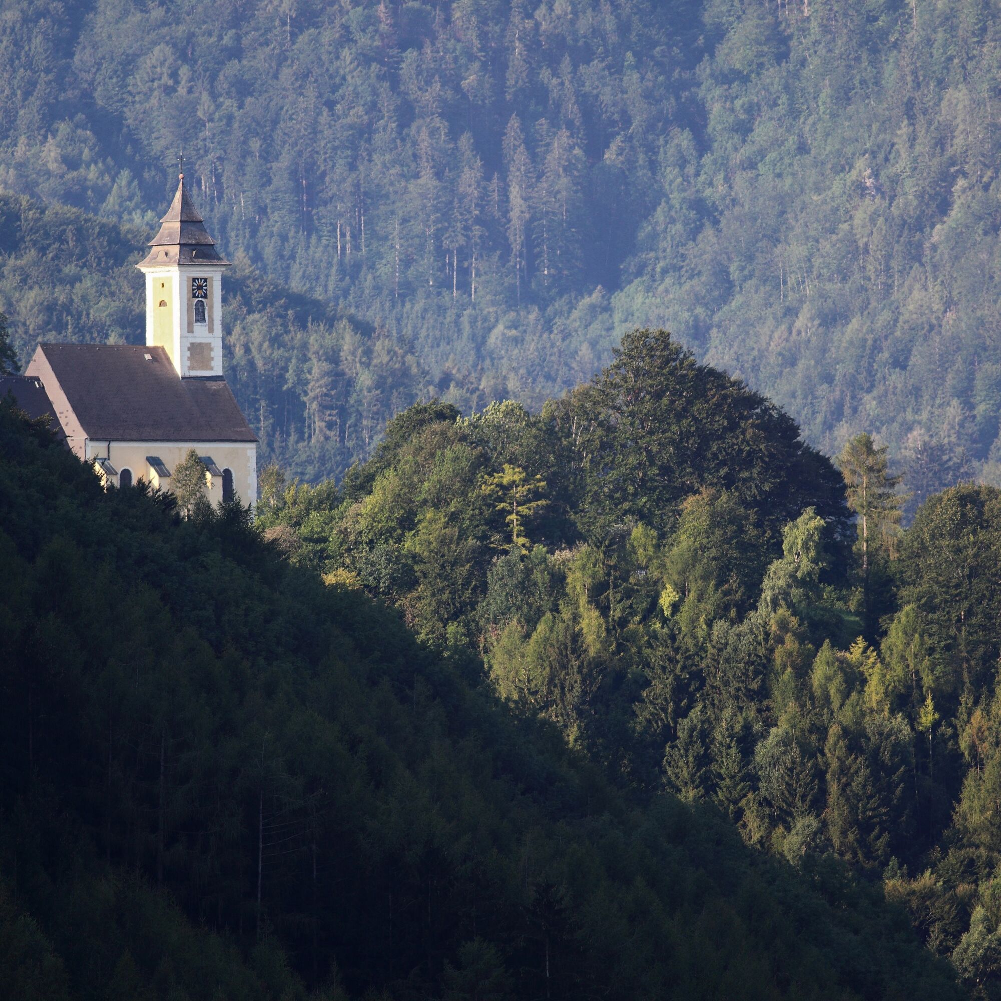
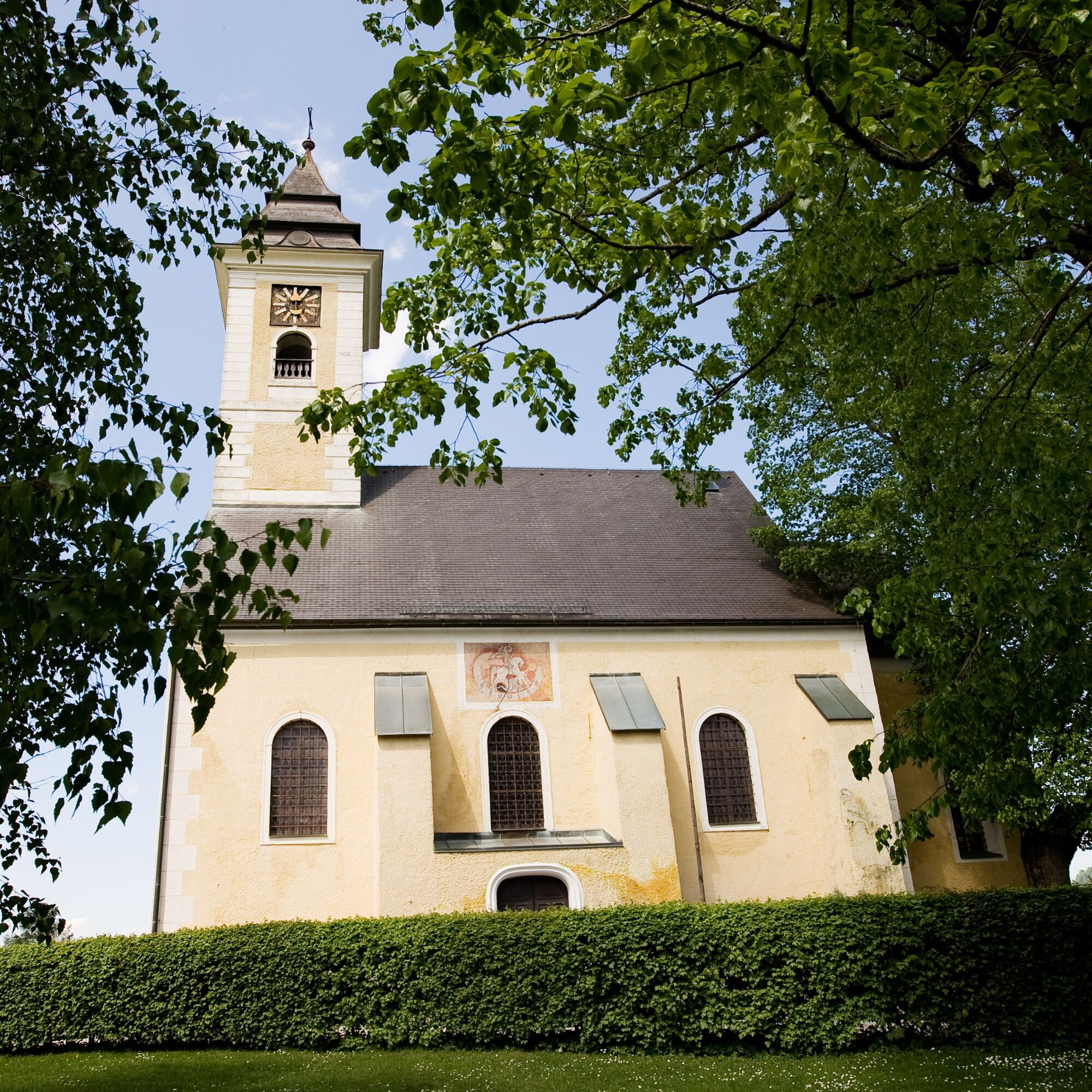
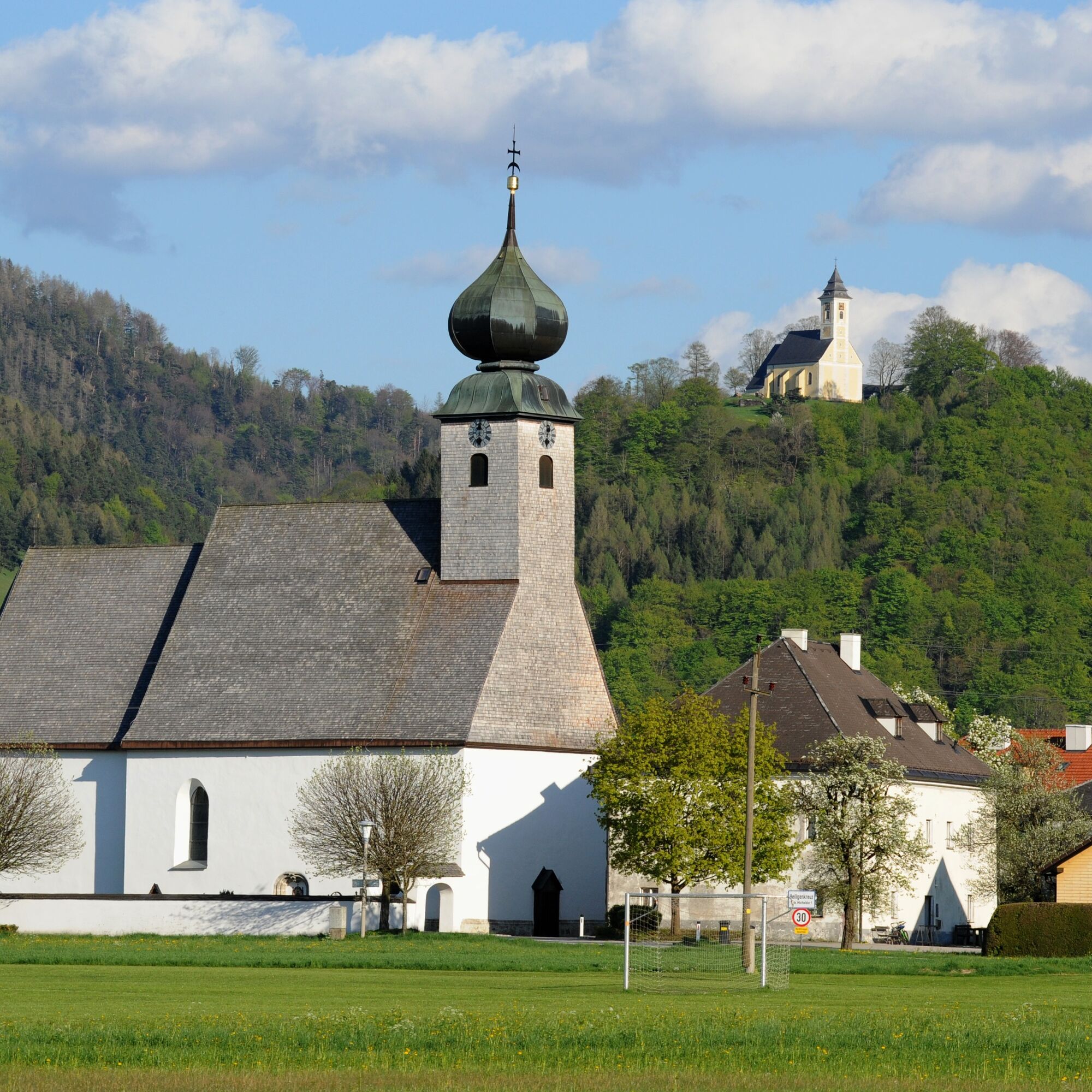

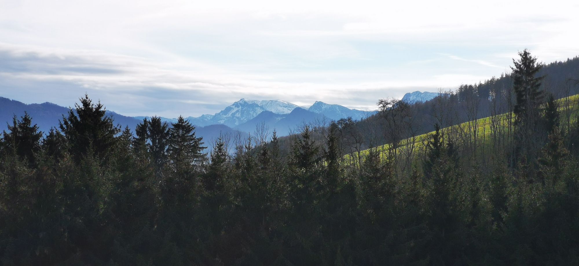
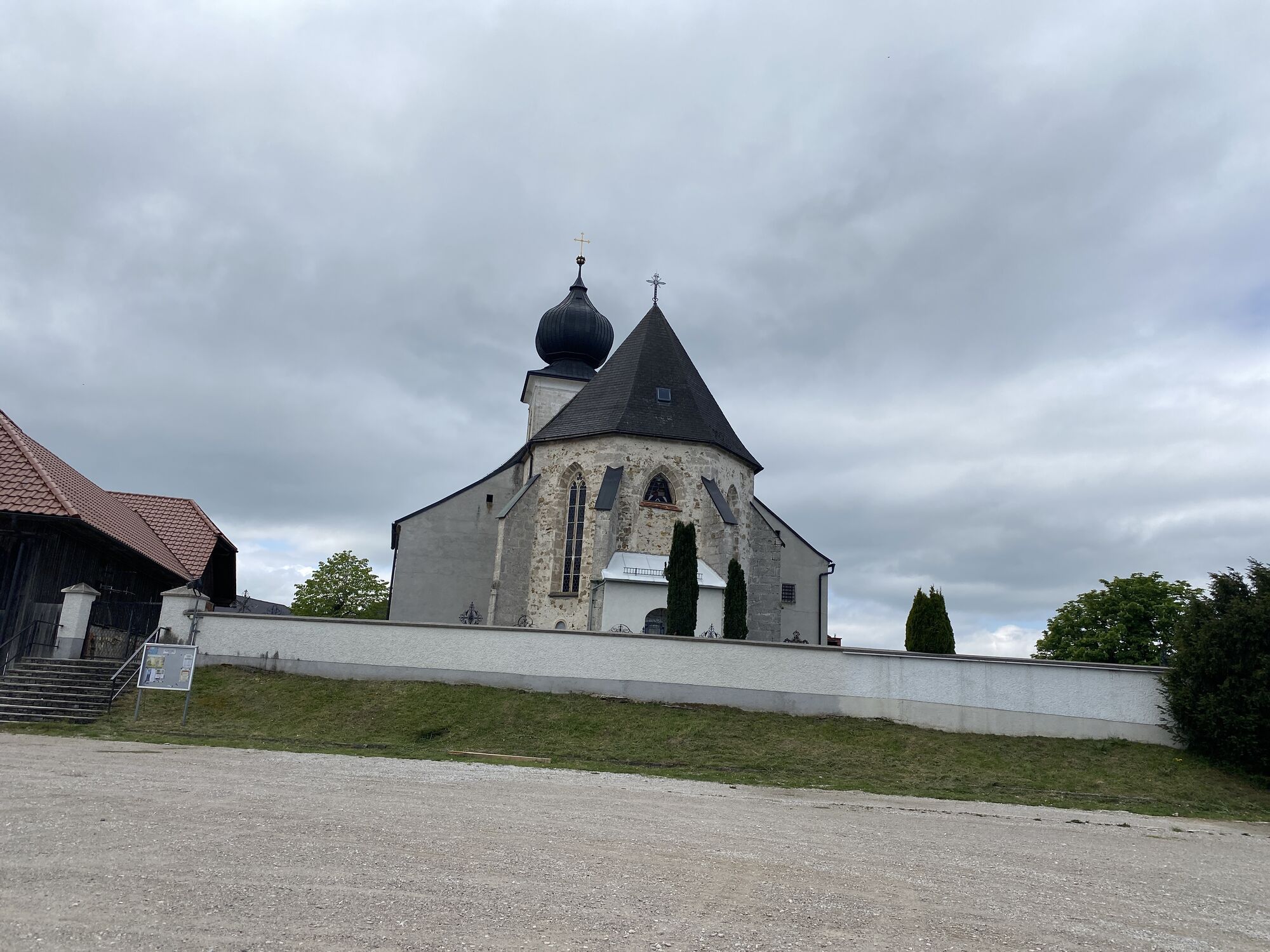
On the second day, you set off from the Mayr barbecue school along the barbecue hiking trail towards the small village of Magdalenaberg, which belongs to the municipality of Pettenbach. On the ascent to the Magdalenaberg, the view of the 15th century pilgrimage church is a constant source of inspiration. Once at the top, the view over the Kremstal valley to the Tote Gebirge mountains is rewarding. A visit to the pilgrimage church invites you to pause for a moment and invigorates the pilgrims before the last section of the second stage of the day is hiked via Inzersdorf to Micheldorf.
If you are feeling peckish, a stop at the Inzersdorf village parlour is recommended, as is a visit to St Mary's Church from the 1970s on the village square. Well fortified, you now continue along the Kremsuferweg to the destination of the second stage of the day, Micheldorf (town). Here too, traditional inns and cafés invite you to take a break.
T1
Webové kamery z prehliadky
Získajte prehľad
Vždy naživo na mieste s viac ako 9 500 webovými kamerami. bergfex Ako používateľ Pro si teraz môžete pozrieť príslušné webové kamery pre mnohé zájazdy v aplikácii zájazdy z. Môžete si tak priamo prezerať aktuálne podmienky.
Obľúbené výlety v okolí
-
4,7
Bergwanderung auf den Spering
strednáTuristika 7,50 km -
4,6
Hochsalm
strednáTuristika 8,50 km -
4,6
4 Gipfel Tour im Almtal Bräumauer, Maisenkögerl, Hutkogel und Hochsalm
strednáTuristika 9,80 km -
4,5
Rinnende Mauer - Gorge Trail
strednáTuristika 7,20 km -
4,6
Windhagkogel (1334m)
strednáTuristika 10,4 km -
4,3
Rinnerberger Waterfall - Gorge
strednáTuristika 7,55 km -
4,7
Kleiner und Großer Landsberg (3.7.2019) mit Sonnenuntergang
strednáTuristika 3,51 km -
4,5
Kremsmauer, Pyramide von Steyrling mit Andi
Turistika 10,5 km -
4,4
Nackter Kalbling & Pfannstein & Rauher Kalbling
strednáTuristika 12,0 km -
4,4
Mittagstein und Hochsalm
strednáTuristika 9,53 km

Turistika a stopovanie


Nenechajte si ujsť ponuky a inšpiráciu na ďalšiu dovolenku
Vaša e-mailová adresa bol pridaný do poštového zoznamu.





