


Upper Austria Mariazellerweg: A: 3rd Stage: Steyr - Maria Neustift
Fotografie našich používateľov
-
 © Gerlinde HoferVytvorené dňa 24.04.2026
 -
 © Gerlinde HoferVytvorené dňa 24.04.2026
 -
 © Gerlinde HoferVytvorené dňa 24.04.2026
 -
 © Gerlinde HoferVytvorené dňa 24.04.2026
 -
 © Lisa Pimminger 1Vytvorené dňa 18.04.2026
 -
 © Lisa Pimminger 1Vytvorené dňa 18.04.2026
 -
 © MarkusVytvorené dňa 11.01.2026
 -
 © Manuela Huemer FriscoVytvorené dňa 13.11.2025
 -
 © Manuela Huemer FriscoVytvorené dňa 13.11.2025
 -
 © NadineVytvorené dňa 21.10.2025
 -
 © ReginaStVytvorené dňa 08.03.2025
 -
 © ReginaStVytvorené dňa 08.03.2025
 -
 © ReginaStVytvorené dňa 08.03.2025
 -
 © ReginaStVytvorené dňa 08.03.2025
 -
 © ReginaStVytvorené dňa 08.03.2025
 -
 © ReginaStVytvorené dňa 08.03.2025
 -
 © ReginaStVytvorené dňa 08.03.2025
 -
 © PrinziVytvorené dňa 19.02.2025
 -
 © PrinziVytvorené dňa 19.02.2025
 -
 © Mario KlauserVytvorené dňa 06.03.2021
 -
 © Mario KlauserVytvorené dňa 06.03.2021
 -
 © Mario KlauserVytvorené dňa 06.03.2021
 -
 © Mario KlauserVytvorené dňa 06.03.2021
 -
 © Mario KlauserVytvorené dňa 06.03.2021
 -
 © Hari WimmerVytvorené dňa 06.10.2022
 -
 © Hari WimmerVytvorené dňa 06.10.2022
 -

 © Matthias RottenschlagerVytvorené dňa 26.12.2025
 -
 © Matthias RottenschlagerVytvorené dňa 28.11.2025
 -
 © Hinterbichler JosefVytvorené dňa 16.11.2025
 -

 © Klaus LehnerVytvorené dňa 24.08.2025
 -
 © Klaus LehnerVytvorené dňa 24.08.2025
 -
 © Klaus LehnerVytvorené dňa 24.08.2025
 -
 © Klaus LehnerVytvorené dňa 24.08.2025
 -
 © Klaus LehnerVytvorené dňa 24.08.2025
 -

 © Gerhard GenshoferVytvorené dňa 11.05.2025
 -
 © Andreas SeyerlehnerVytvorené dňa 01.03.2025
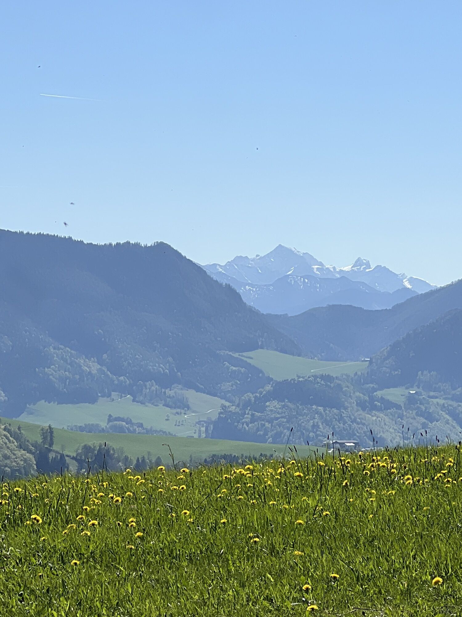

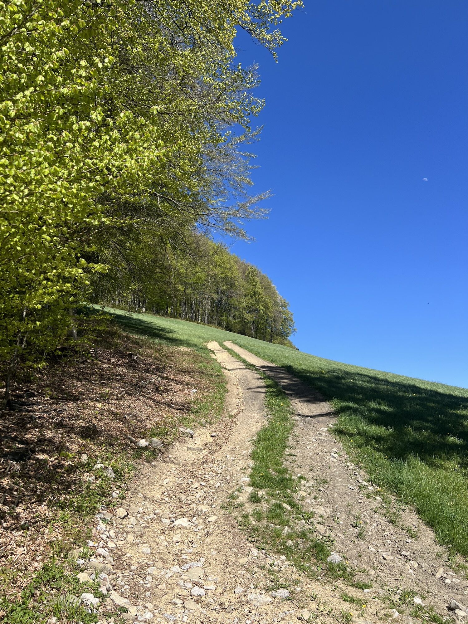

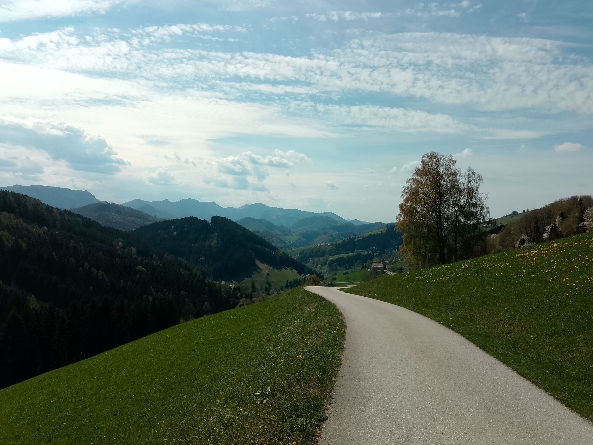

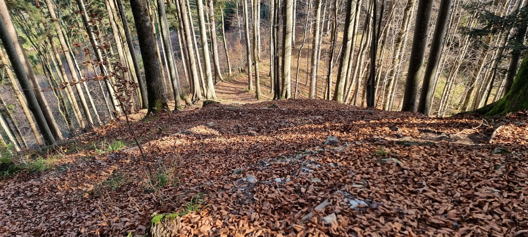


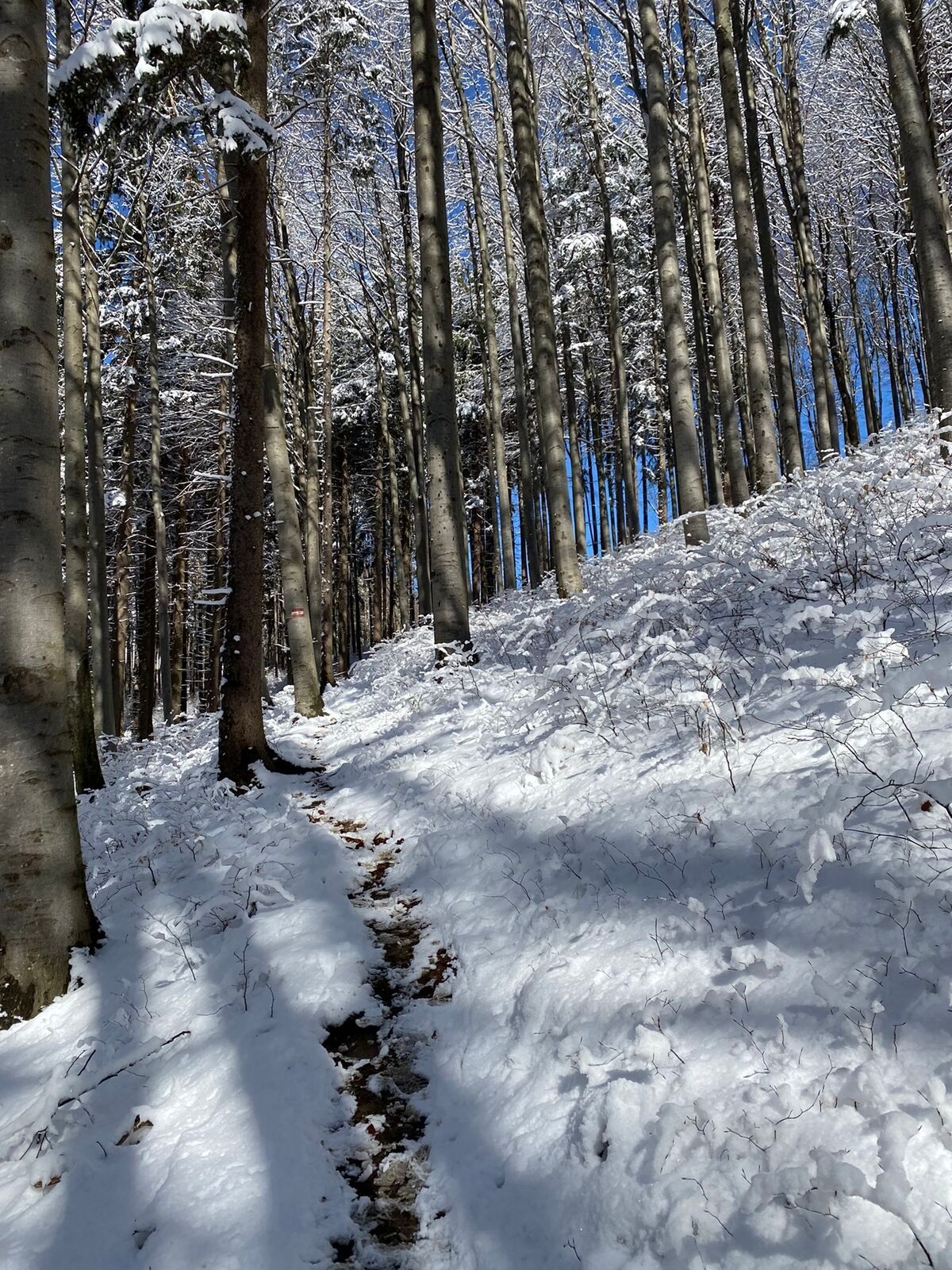


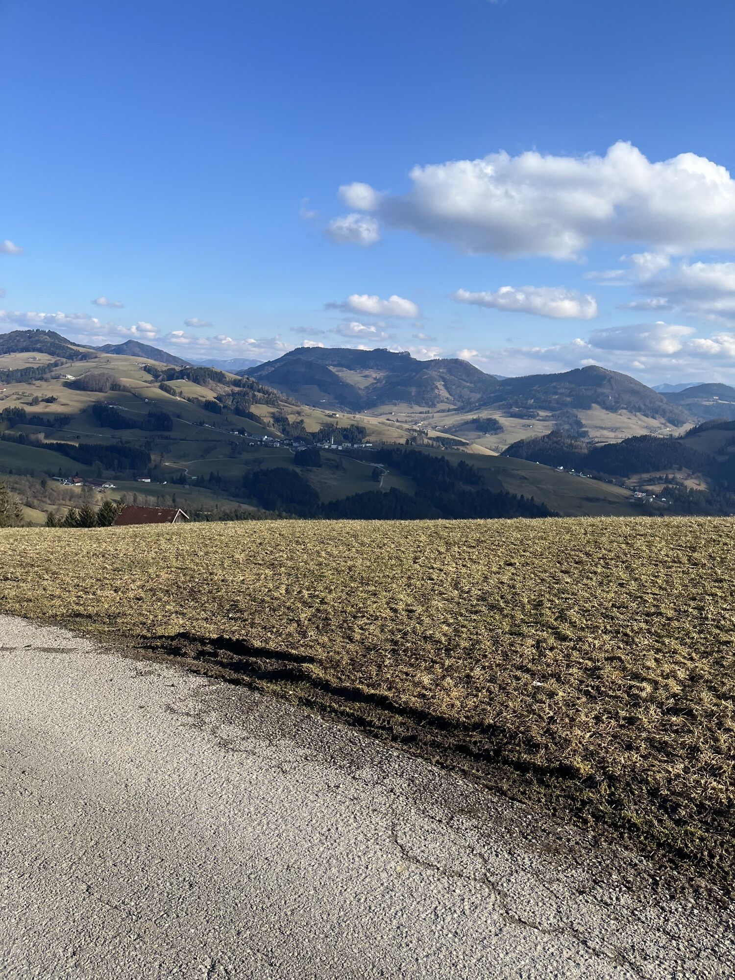
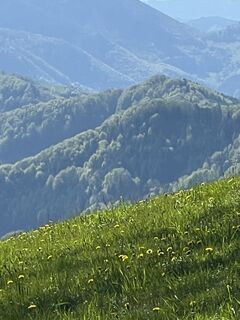
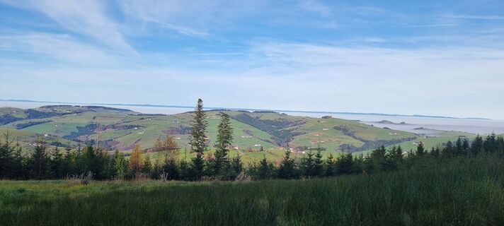
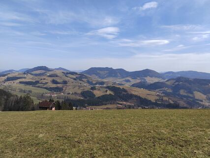
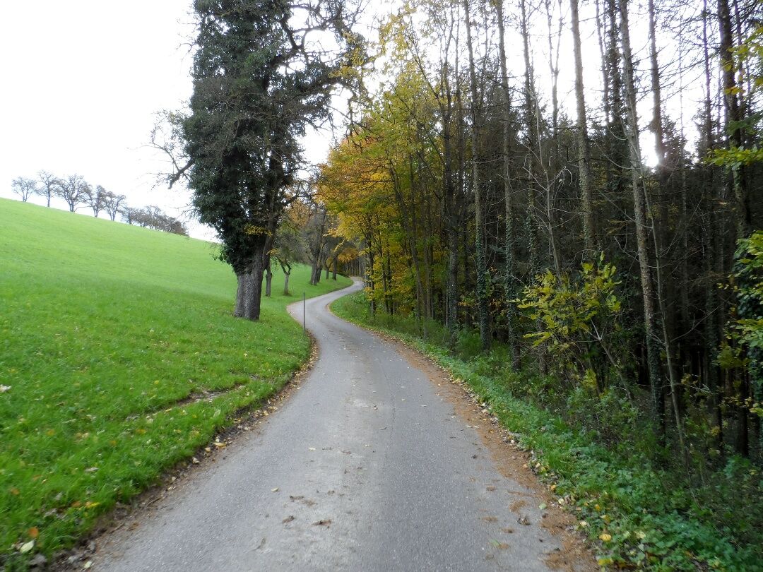
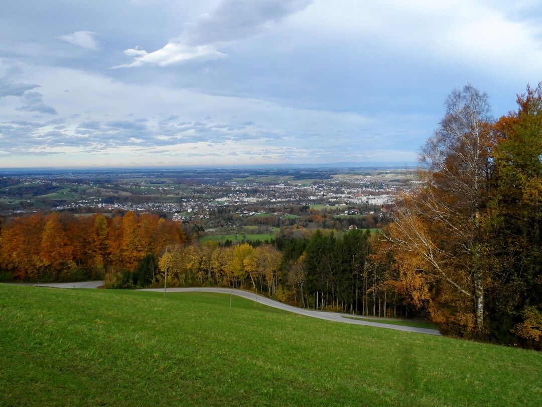
From the historic town of Steyr, we start our third stage at the Schönauer Brücke bridge and cross the Enns to reach its eastern bank, where we then walk southwards along the Bergerweg path lined with...
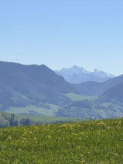
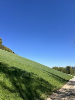
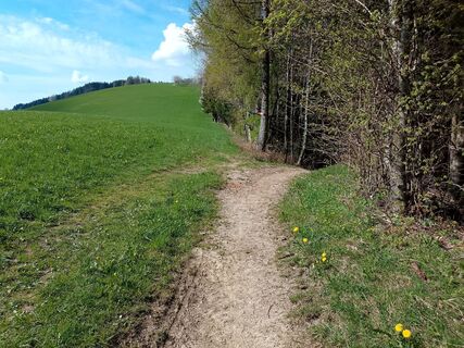
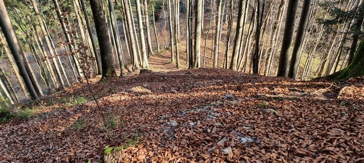
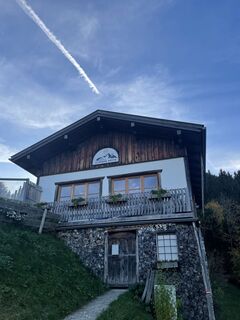
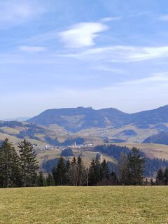
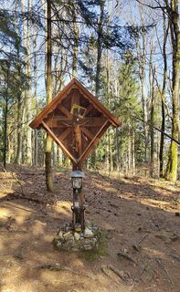
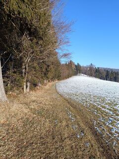
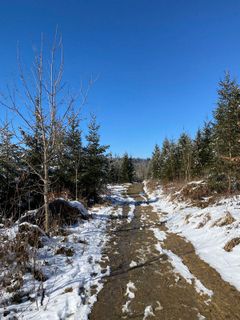
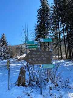
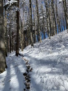
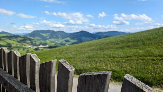
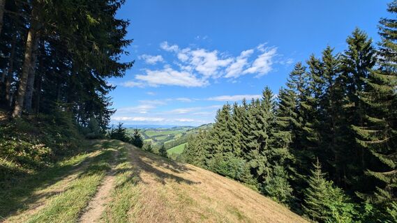
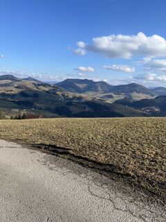
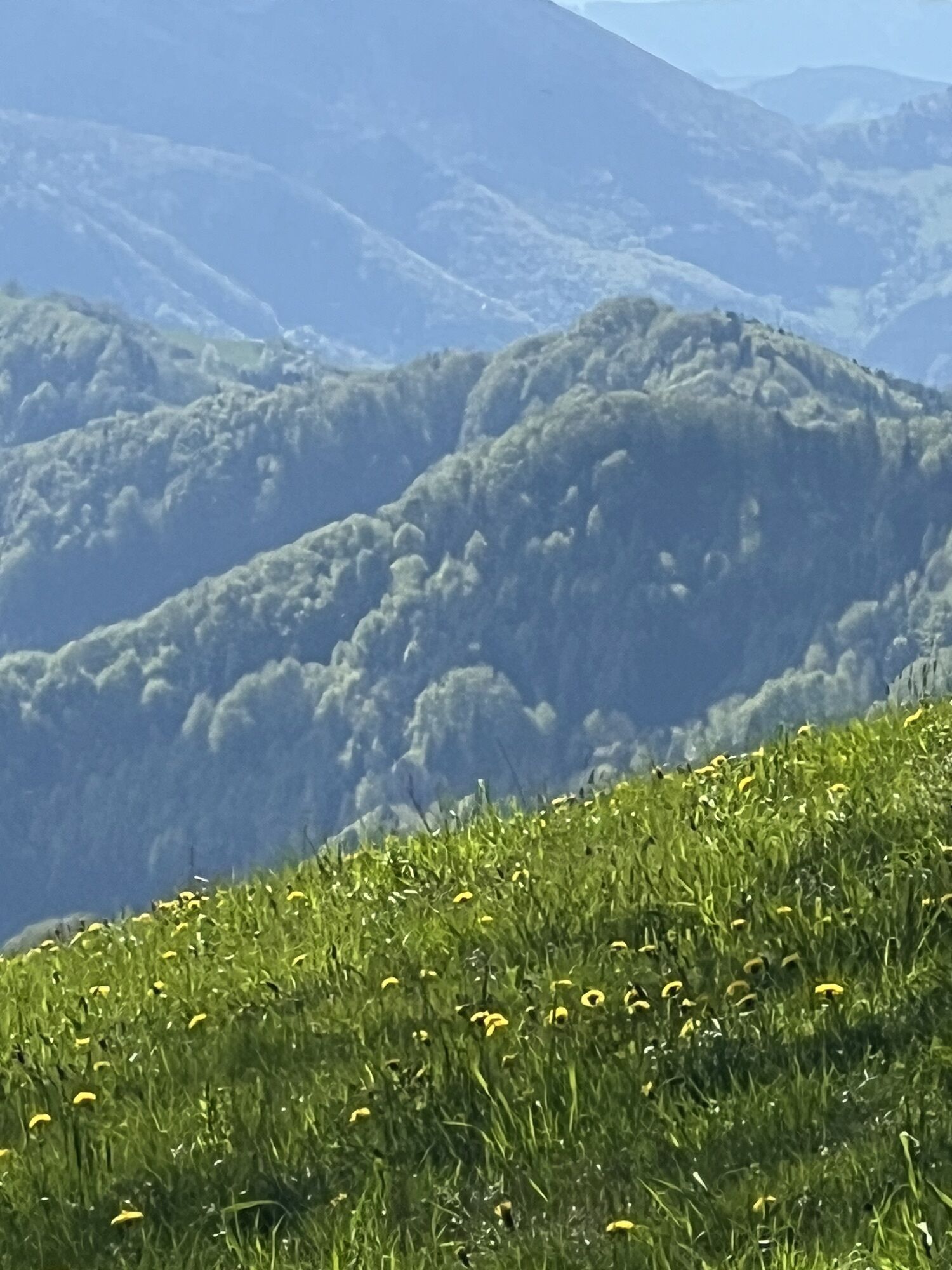
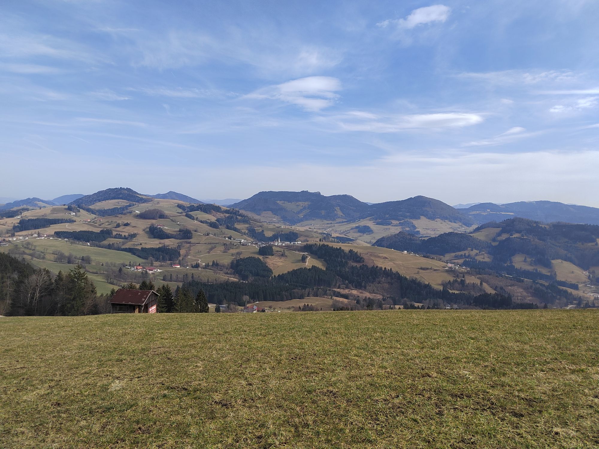
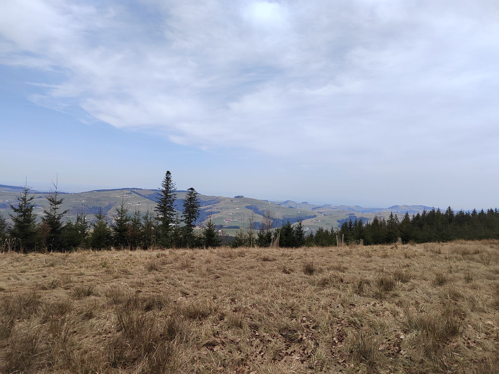
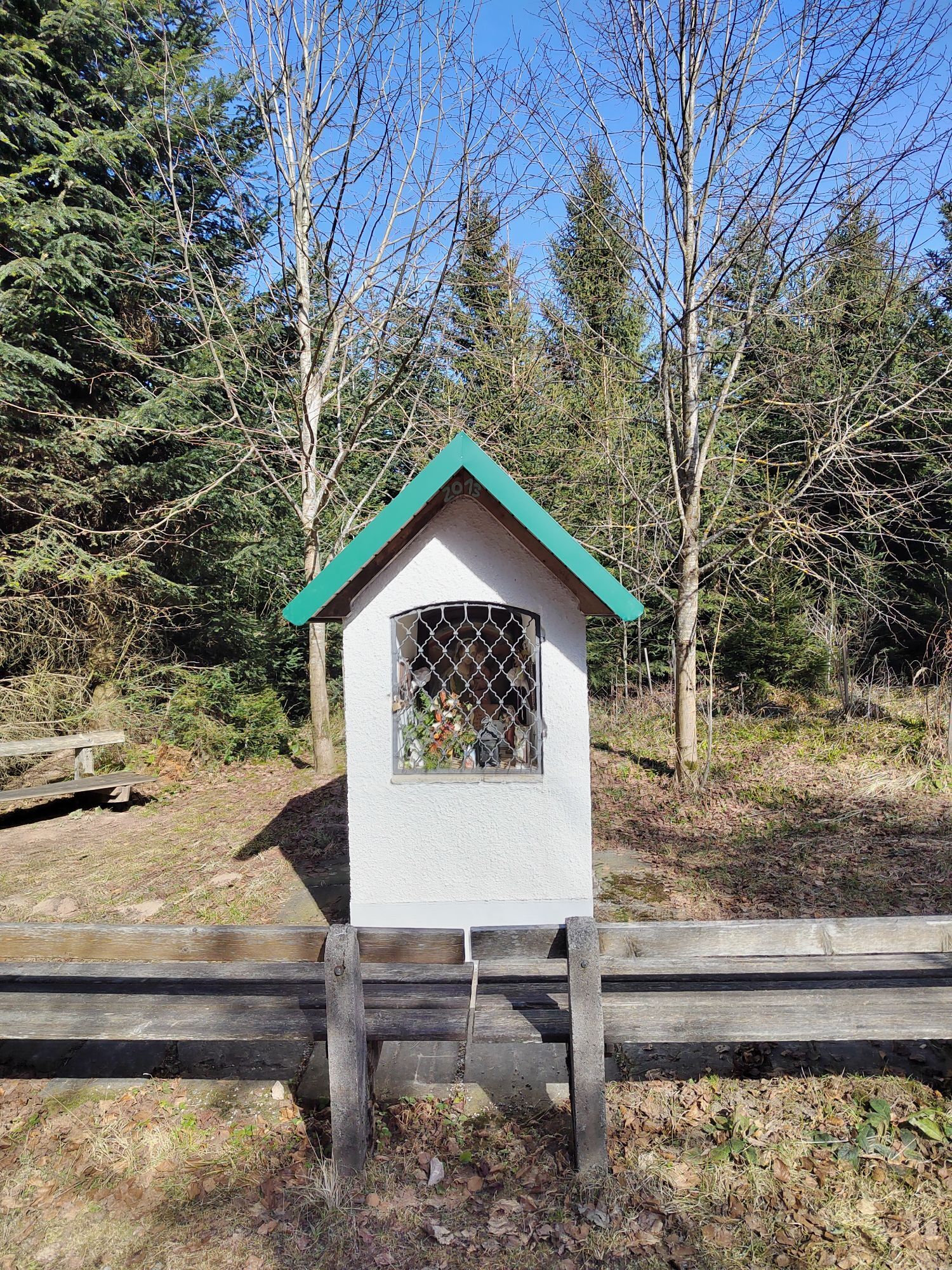
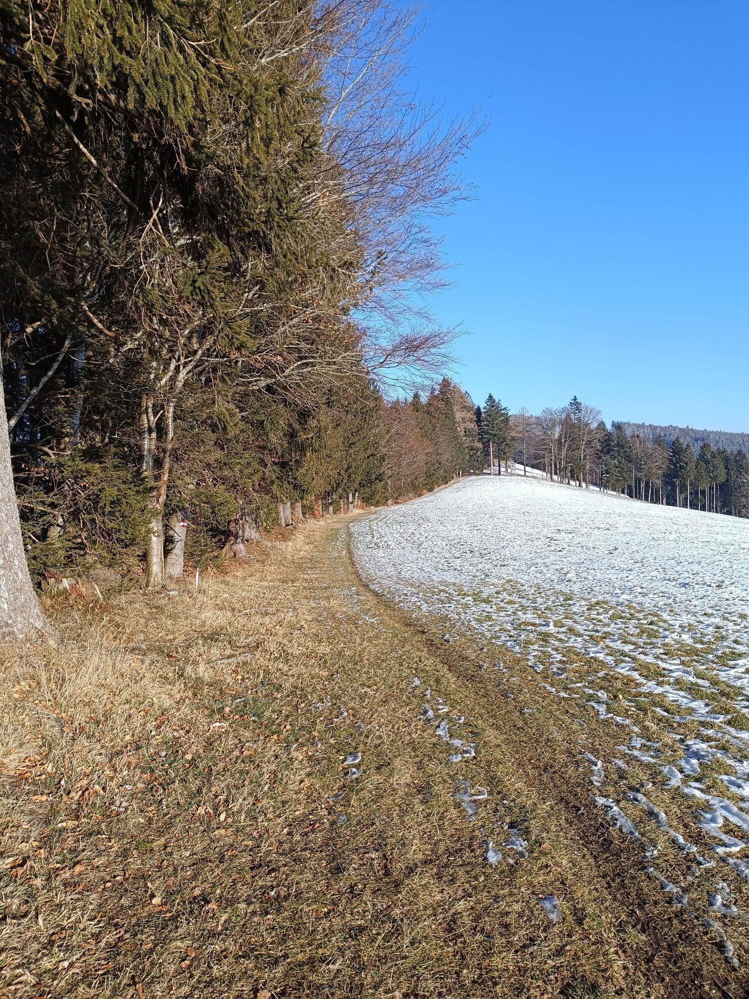
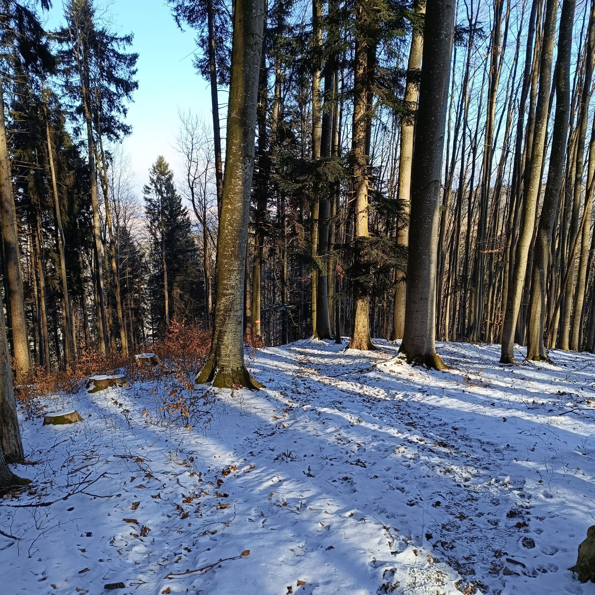
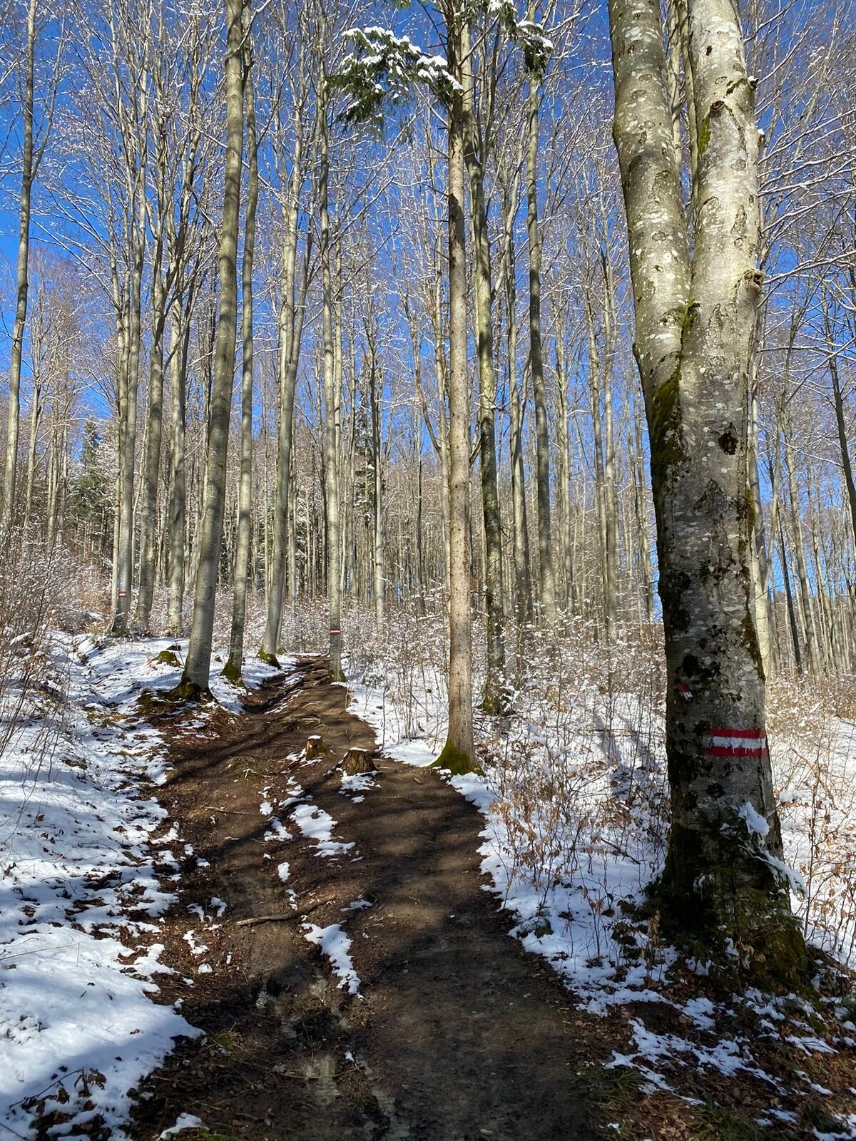
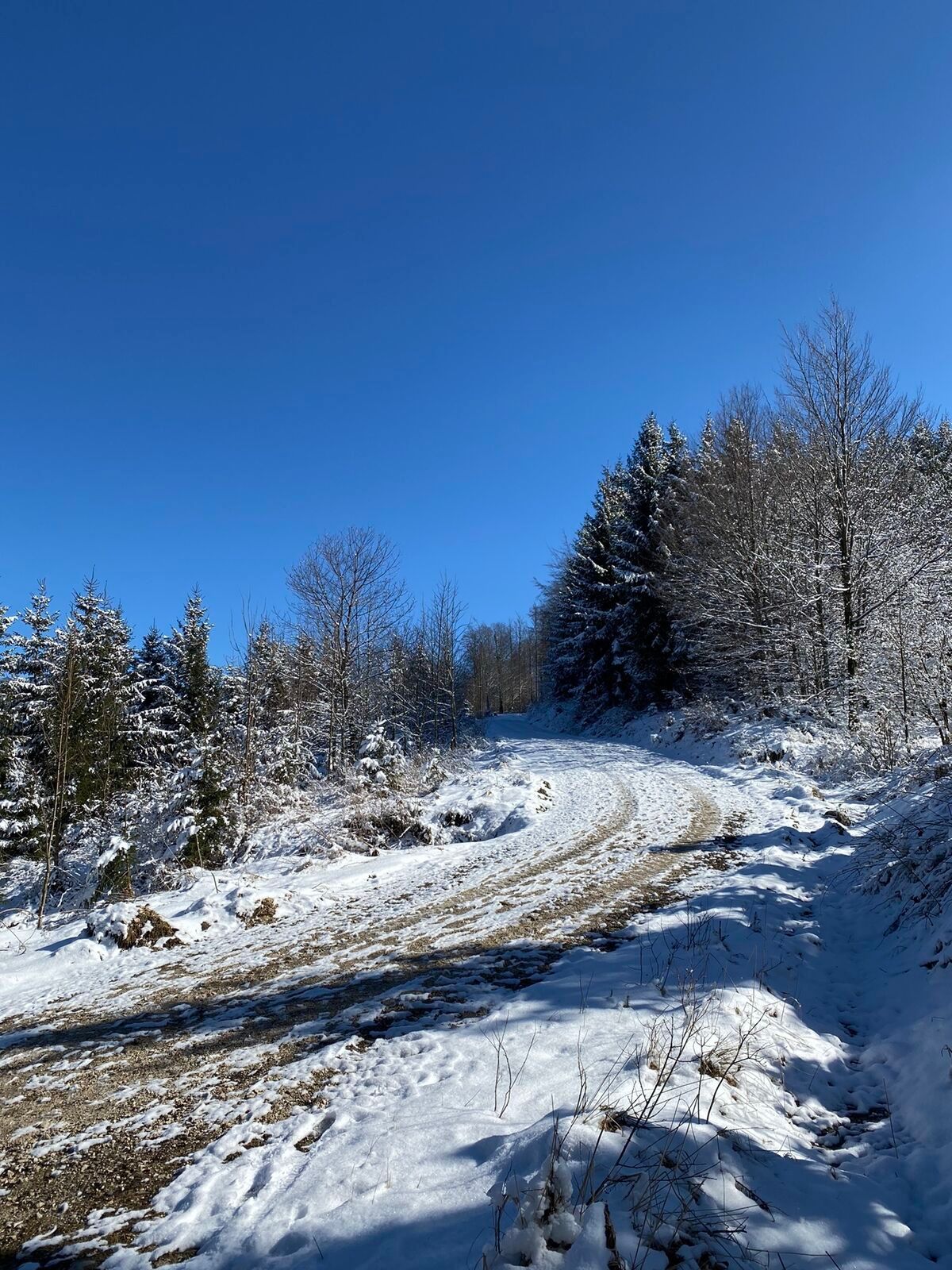
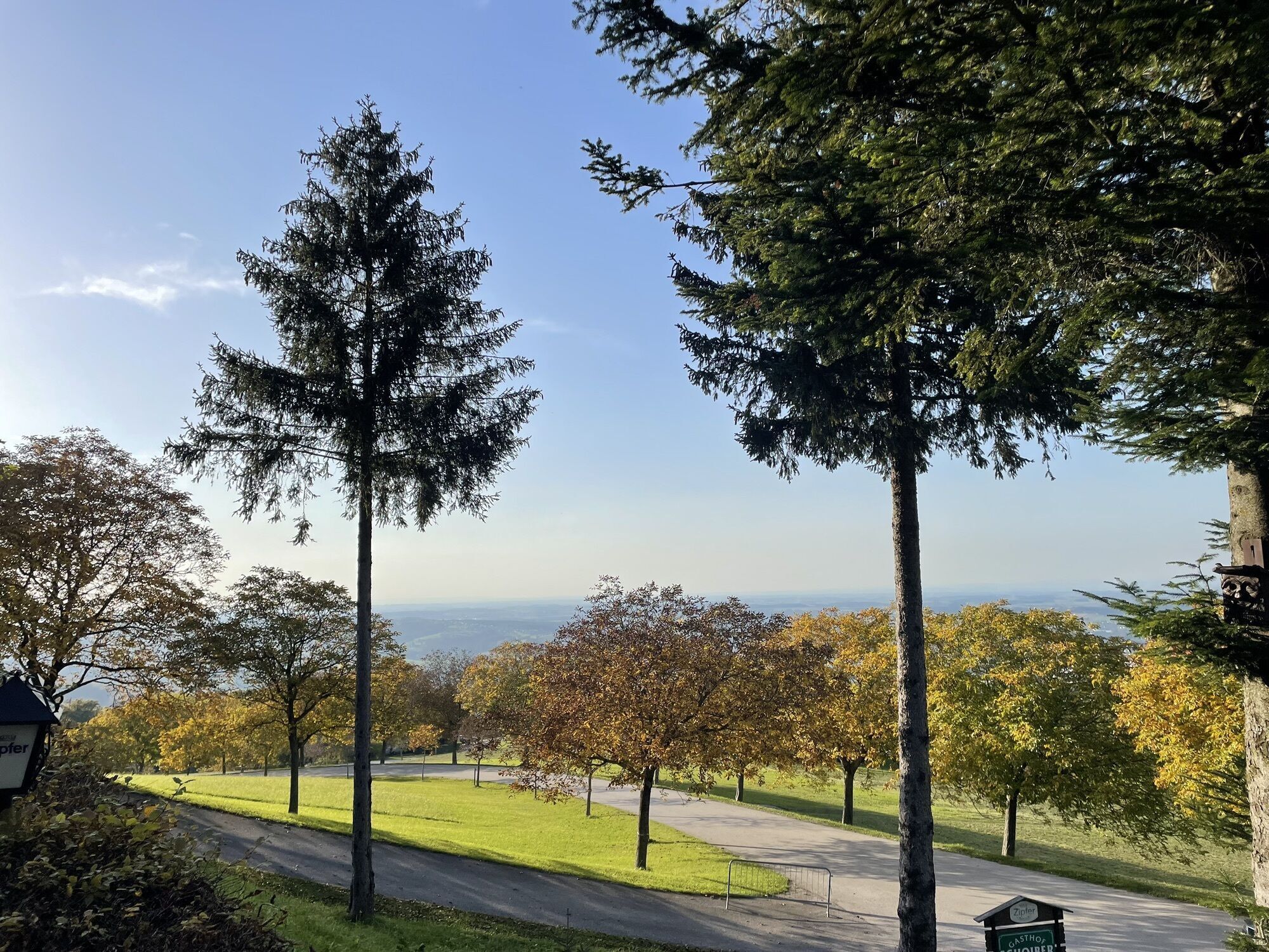
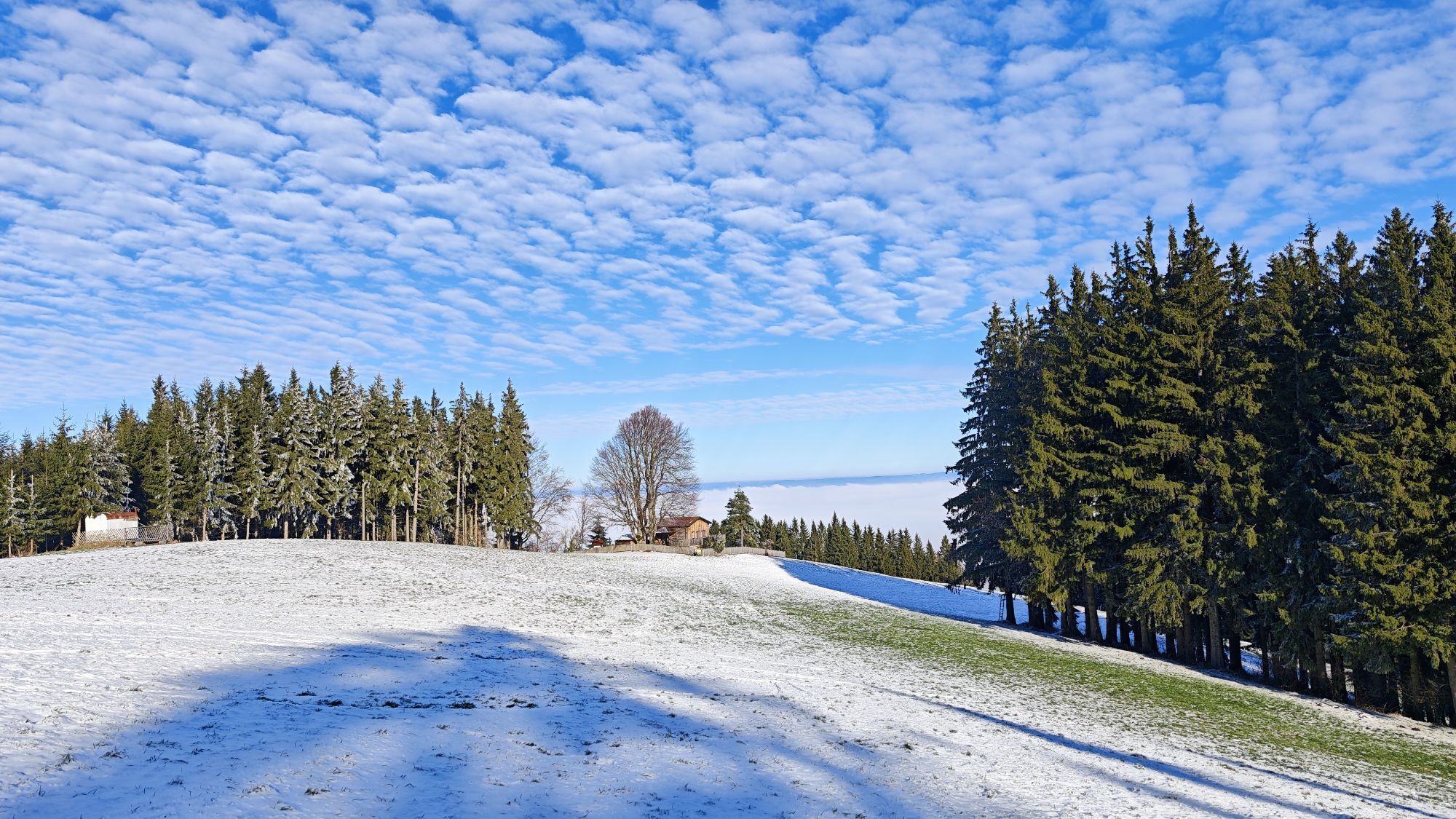
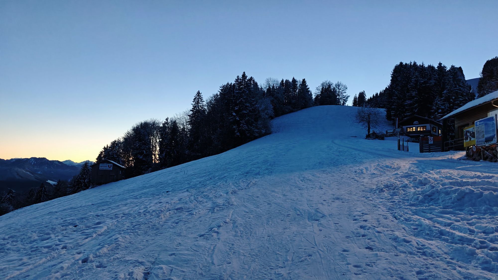
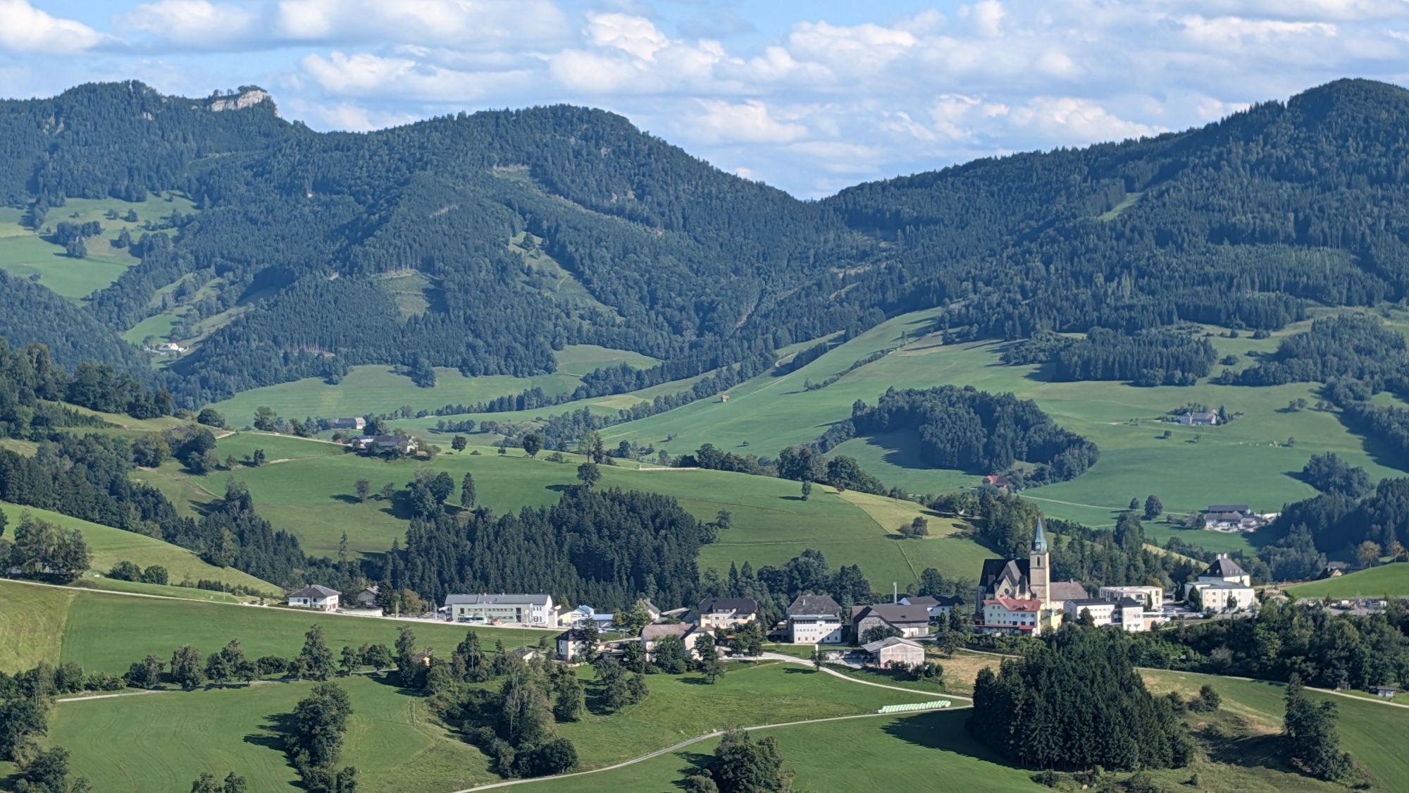
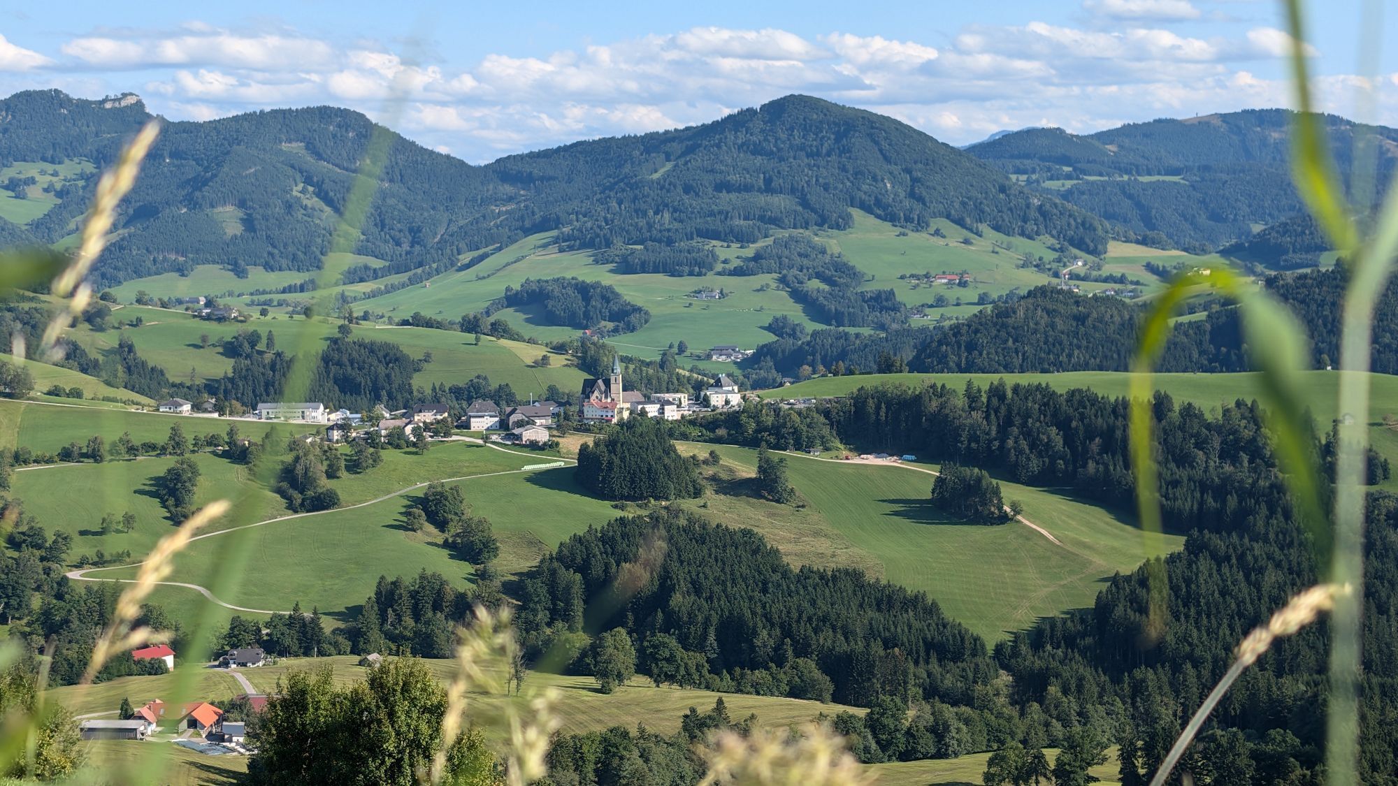
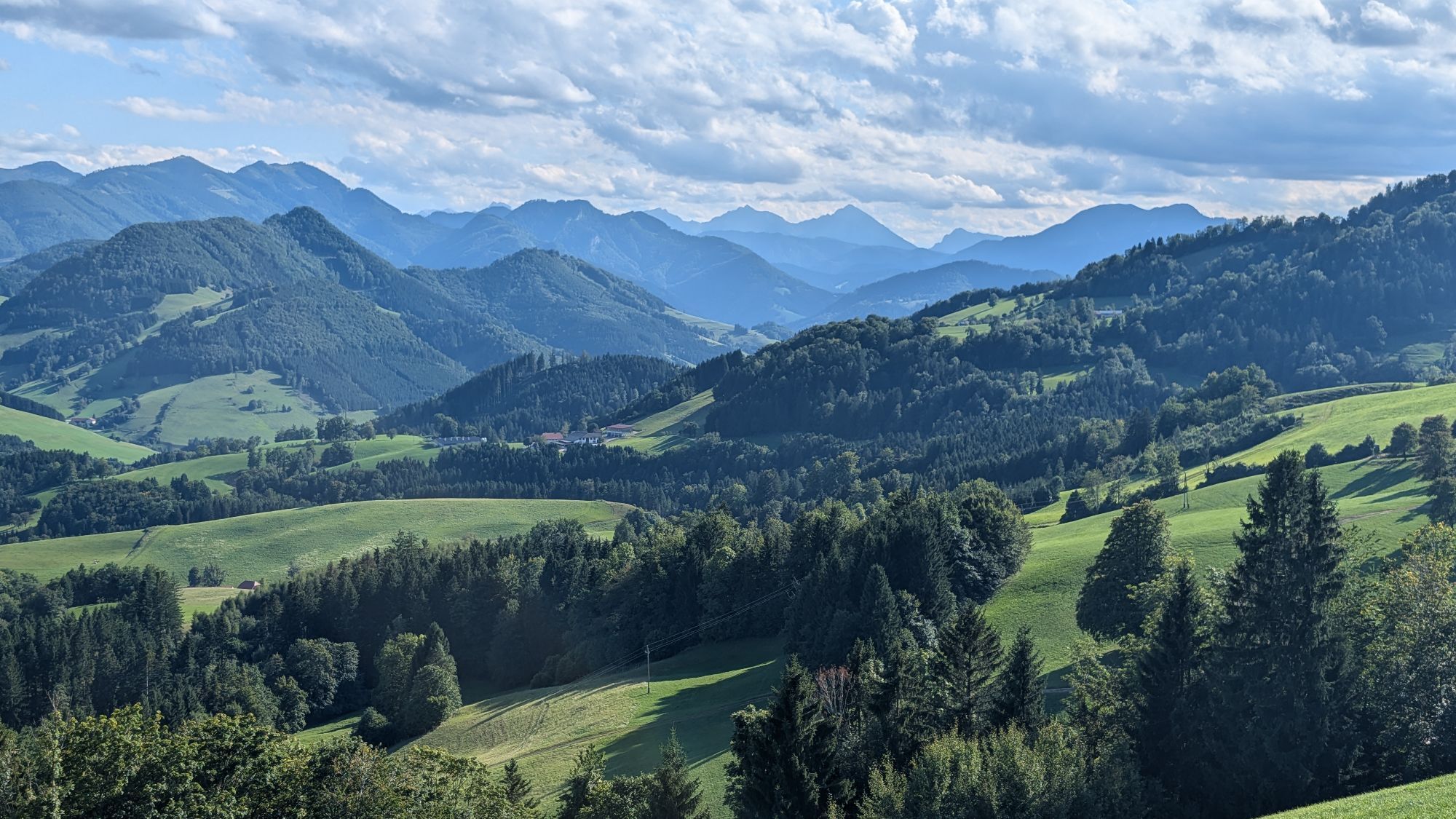
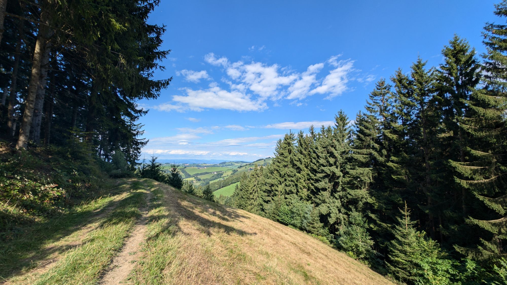
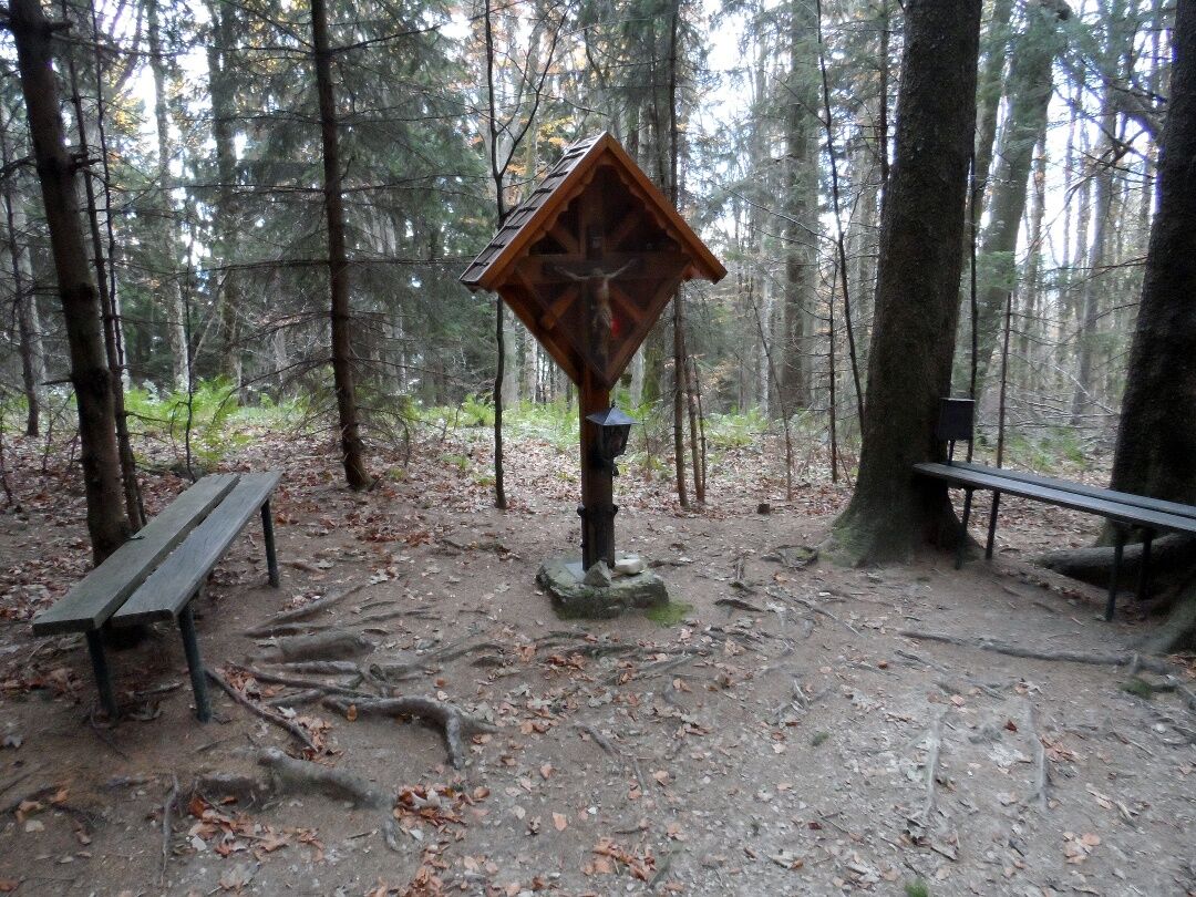
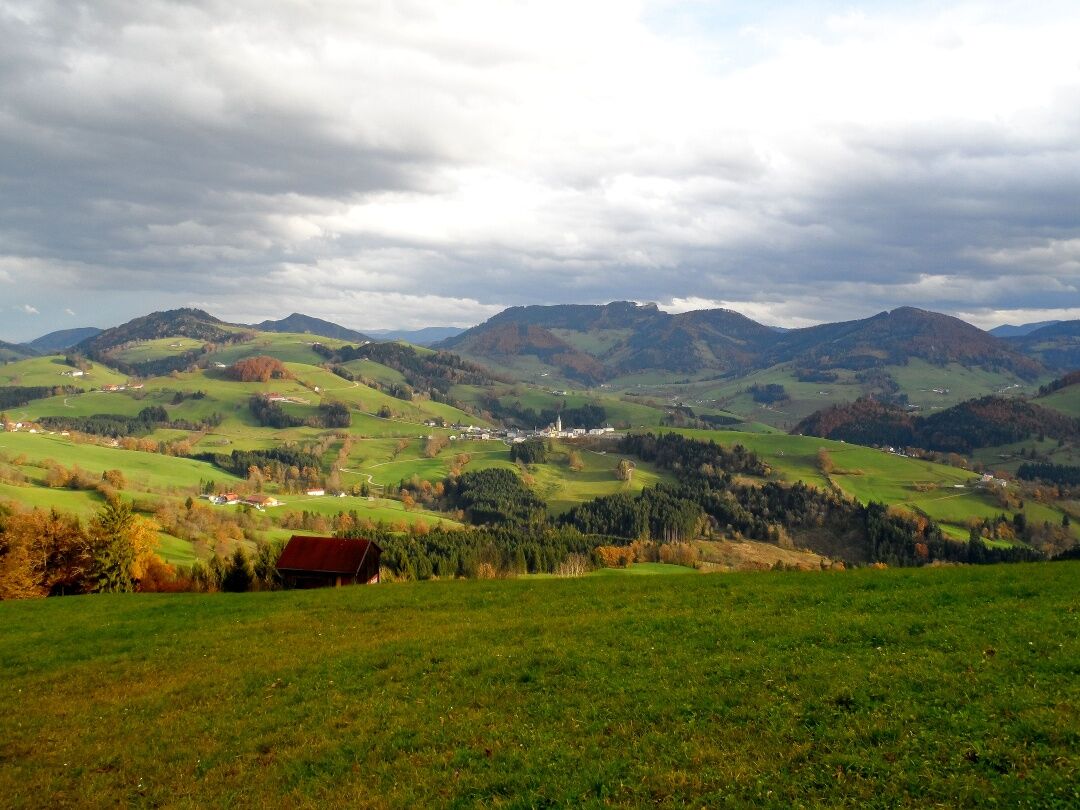
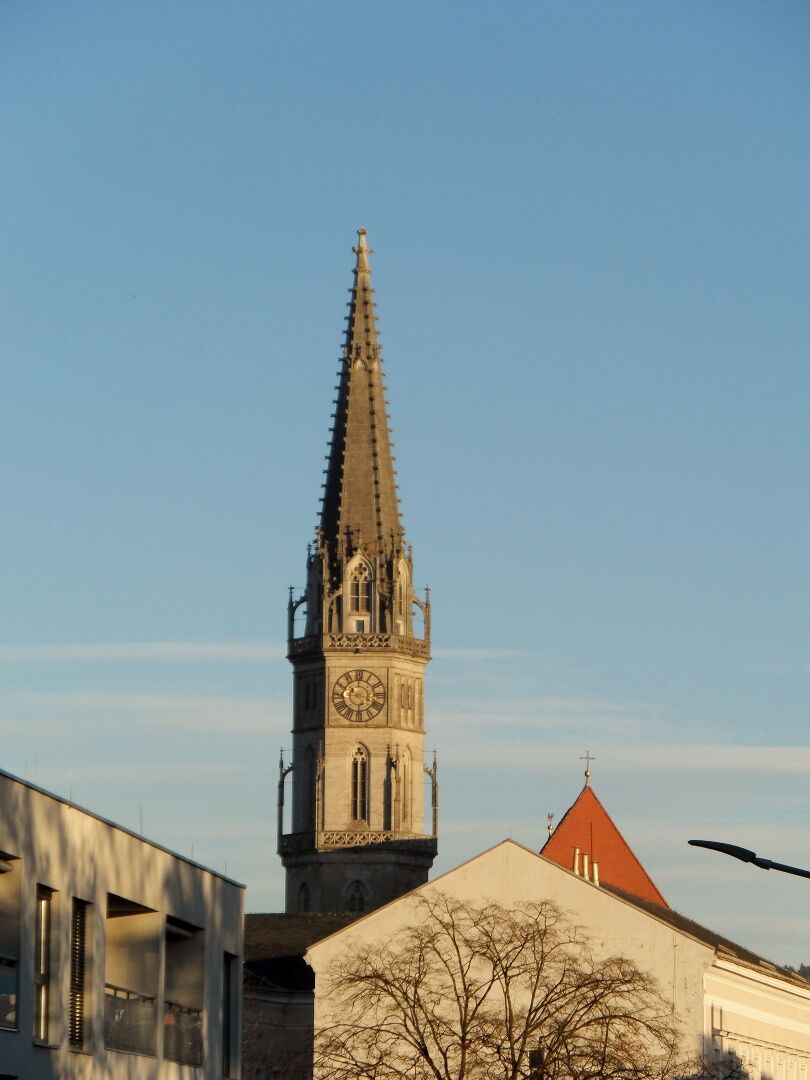
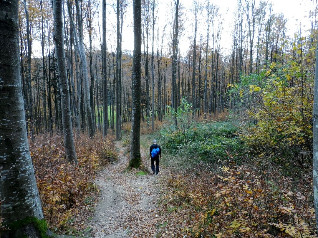
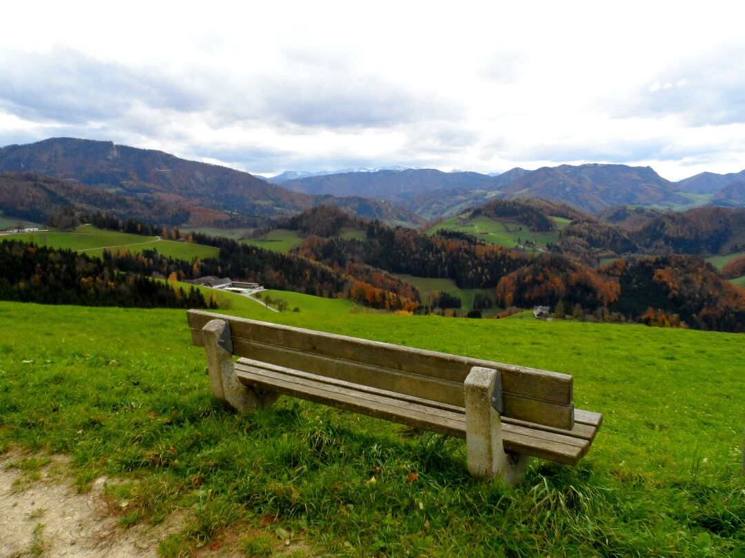
From the historic town of Steyr, we start our third stage at the Schönauer Brücke bridge and cross the Enns to reach its eastern bank, where we then walk southwards along the Bergerweg path lined with villas. At St. Ulrich, we see the tower of the village's parish church on the right and then turn off Rahoferstraße into the beautiful beech forest. We cross a settlement and begin our relatively strenuous mountain stage to the Schoiber inn. From this inn, situated below the Damberg, Steyr's local mountain, we enjoy a wonderful view down to Steyr and follow the signposts towards Schwarzberg along pleasant forest paths. The forest opens up again and again here, giving pilgrims a fantastic view on all sides. We cross lush green clearings, hike through sparse beech forest, marvel at the large wind turbines on the Plattenberg and finally enter the Kalkalpen National Park (Ennstal region) on the Spadenberg. Here we follow the ridge path, lined with beech trees on the left and spruce trees on the right, to the summit of the Spadenberg at an altitude of 1000 meters and then steeply downhill to a chapel with a rest area. Once again we have to mobilize our strength to conquer the Geierkogel (886m), but after that it becomes more leisurely and we hike steadily downhill to Maria Neustift.

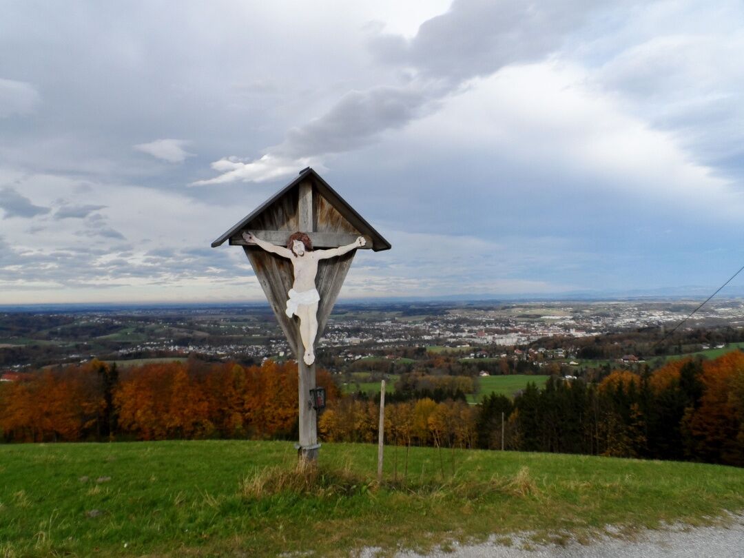

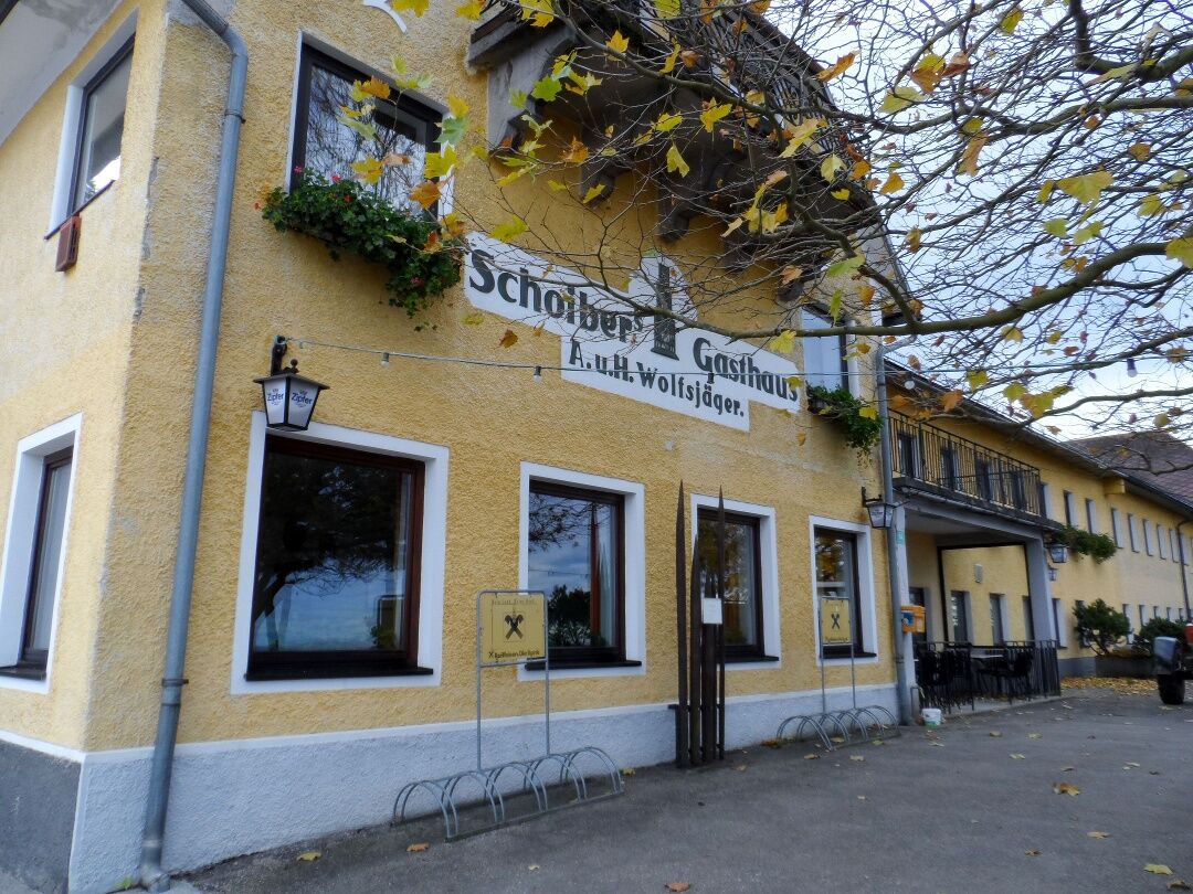
The hike (06 and 04 path) starts in Steyr (310 m) at the town square, leads over Grünmarkt, over the Schönauer Bridge, upwards along the Enns on Bergerweg, to Isabellenhofweg, Bachweg, and on the 06 path directly eastwards to St. Ulrich (about 4 km to this point) and steeply upwards via the Schoiber mountain inn to Damberg (807 m, lookout tower with magnificent views of the pre-Alpine area around Steyr), downhill to Hertlerwiese (666 m), bypassing Schwarzberg on a forest road up to Willeitenberg (837 m), where we meet the pre-Alpine long-distance trail 04 (Salzburg Mariazellerweg). Now downhill to Wolfsgrub (695 m) and then over Plattenberg to Spadenberg, the highest point of the third stage (1,000 m). Along the ridge to Geierkogel (886 m) via Glasner Hut to Maria Neustift (613 m). From Steyr to the Schoiber mountain inn about 2 hours, another 3 hours to Plattenberg (Hinterplatten farmstead), from here another 3 hours to Maria Neustift (route guidance via Spadenberg).
The backpack on a pilgrimage should truly only contain the absolute essentials! A GPS device is very helpful for orientation.
Coming from Salzburg, take the A1 towards Vienna/Linz up to Sattledt. At Sattledt, take the exit and continue on the B122 via Kremsmünster and Bad Hall to Steyr.
Coming from Vienna, take the A1 towards Salzburg up to Haag (exit 142). From there, continue on the B42 and later on the B122 to Steyr.
From St. Valentin, we take the Regional Express (REX) directly to Steyr.
Parking options are available, for example, in the Pachergasse parking garage (€ 6/day) and in the Wieserfeldplatz parking garage (€ 7.20/day, € 27/week). There are permanent parking spaces with unlimited parking time and no fee at the promenade and Schiffmeisterplatz.
Mostviertel Tourismus GmbH
Töpperschloss Neubruck, Neubruck 2/10, 3283 Scheibbs
T +43/7482/20 444
info@mostviertel.at , www.mostviertel.at
TVB Mariazeller Land
Hauptplatz 13, 8630 Mariazell
Tel.: +43 (0)3882/23 66
Upper Austria Tourism Information
Freistädter Straße 119, 4041 Linz
info@oberoesterreich.at
www.wandern.at
Useful Maps:
ÖK 4319 Linz, ÖK 4320 Perg, ÖK 4326 Steyr,
ÖK 4202 Ternberg, ÖK 4203 Waidhofen,
ÖK 4203 Ybbsitz, ÖK 4204 Lunz, ÖK 4210 Mariazell
All at a scale of 1:50,000 (also available as enlargement 1:25,000)
F&B hiking maps 261 (1:50,000), 051 (1:50,000),
052 (1:50,000), 5031 (1:35,000)
Kompass 22 (Mariazell, Ötscher, Erlauftal, 1:25,000),
Kompass 212 (Hochschwab, Mariazell, Eisenwurzen, 1:50,000),
Kompass 202 (Around Linz, Mühlviertel, Wels, Steyr, 1:50,000)
Important phone numbers:
Alpine emergency call: 140, International emergency call: 112
Recommended literature:
Pilgrimage routes to Mariazell – Volume West + South, www.styriabooks.at
Hiking experience Mariazeller Land and Ötscher, www.kral-verlag.at
Pilgrimage routes, www.kral-verlag.at
Excellent fitness is absolutely required on this route; it is very challenging and offers few options for cancellation.
Webové kamery z prehliadky
Obľúbené výlety v okolí
-
4,3
Freithofberg
strednáTuristika 9,15 km -
4,8
Steinerner Jäger (1185m) und Schieferstein (1206m) ab Parkplatz Hochhabichler
strednáTuristika 4,46 km -
4,5
Ternberg -Schoberstein
strednáTuristika 6,60 km -
4,4
Kleine Gipfelrunde Glasenberg
svetloTuristika 4,99 km -
4,4
Sonnkogel (1177m) und Hohe Dirn (1134m) ab Parkplatz Hohe Dirn
strednáTuristika 7,71 km -
4,8
Enns Active Trail Ternberg
strednáTuristika 9,61 km -
4,5
Lindaumauer, Maria Neustift
strednáTuristika 5,53 km -
3,8
Lindaumauer (1103 m)
Turistika 3,40 km -
4,6
Steinerner Jäger (1185m) und Schieferstein (1206m) ab Parkplatz Hack
ťažkéTuristika 8,58 km -
3,7
Schoberstein (from Trattenbach train station)
svetloTuristika 5,53 km

Turistika a stopovanie


Nenechajte si ujsť ponuky a inšpiráciu na ďalšiu dovolenku
Vaša e-mailová adresa bol pridaný do poštového zoznamu.