


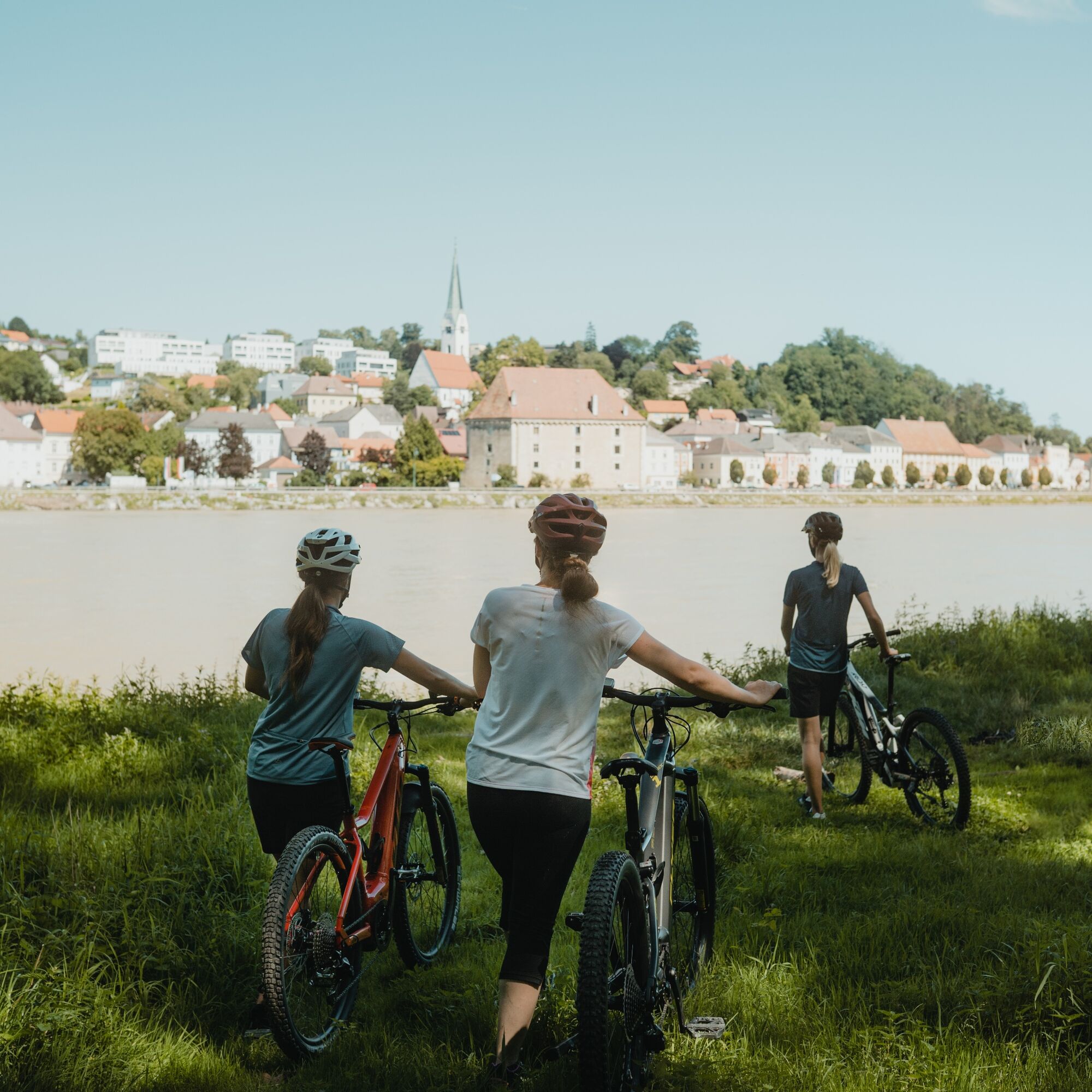
R1.11 3-River-Route
Úroveň náročnosti: 2


Fotografie našich používateľov
-
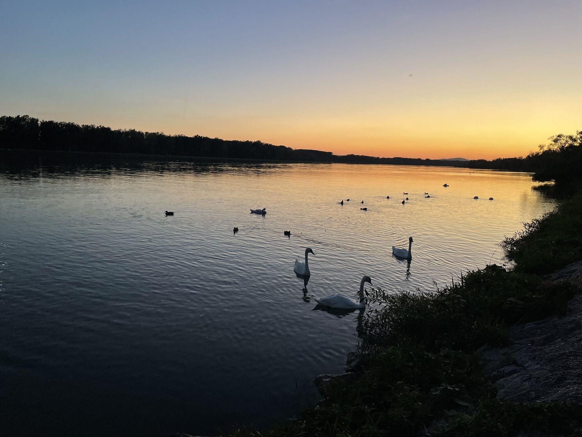
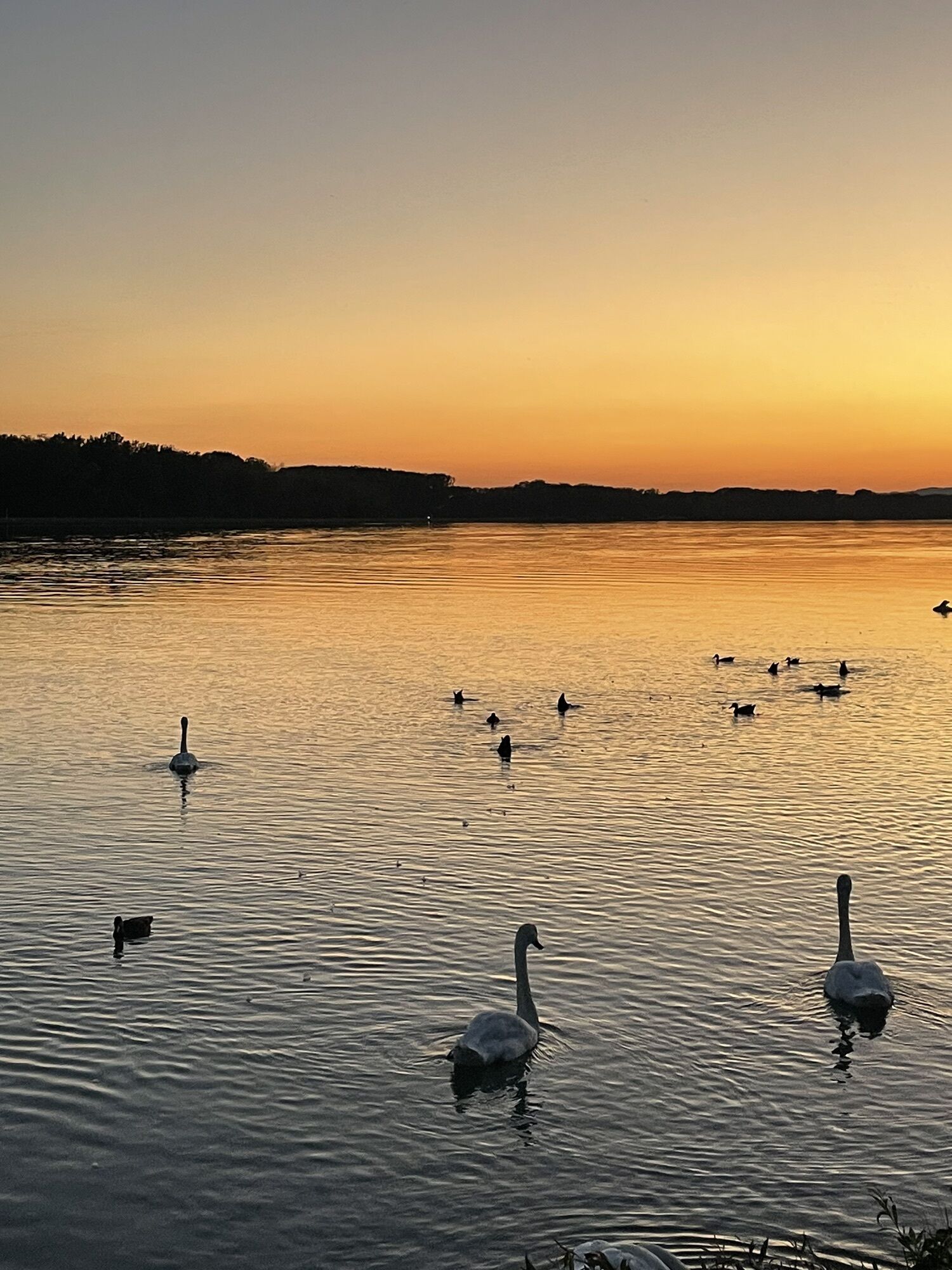
 © Hermann SchatkaVytvorené dňa 10.08.2024
 -
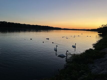
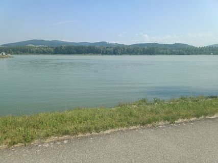
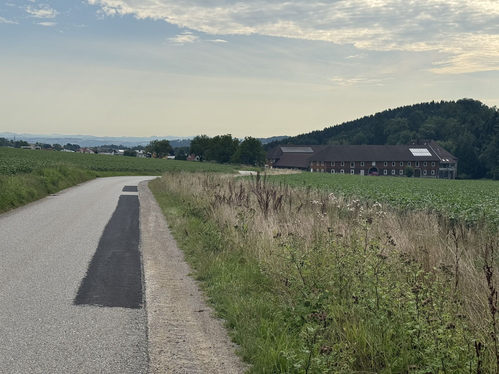
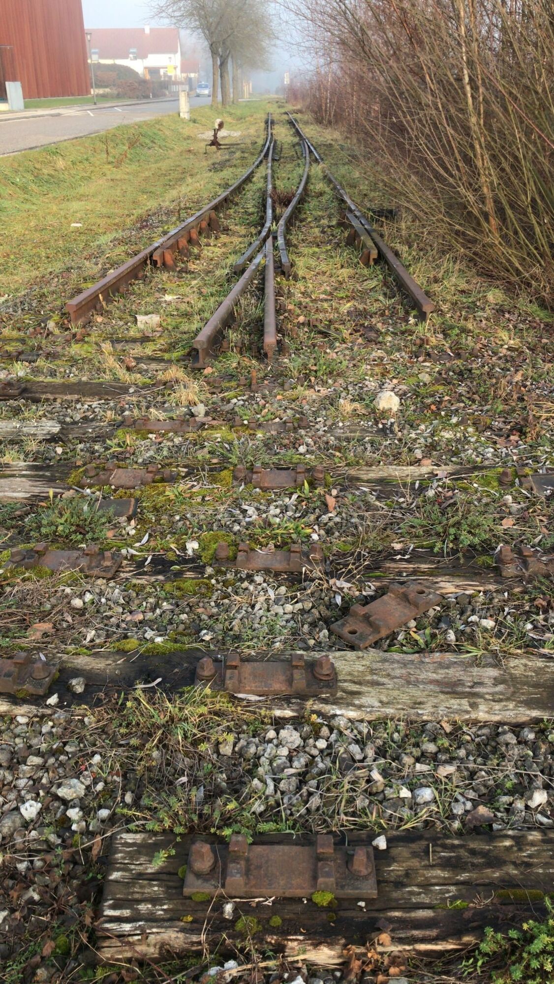
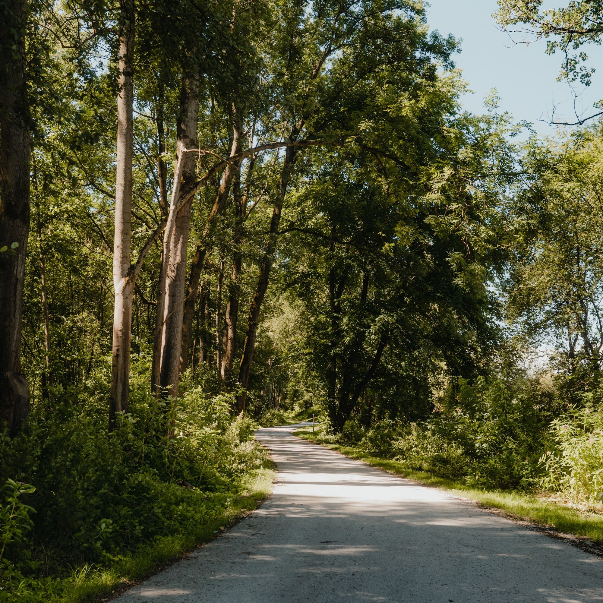
 © Franz ForstenlechnerVytvorené dňa 20.07.2025
 -
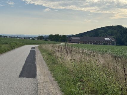
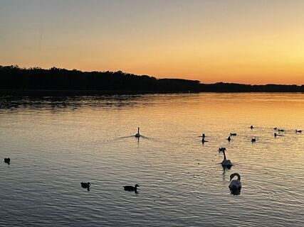
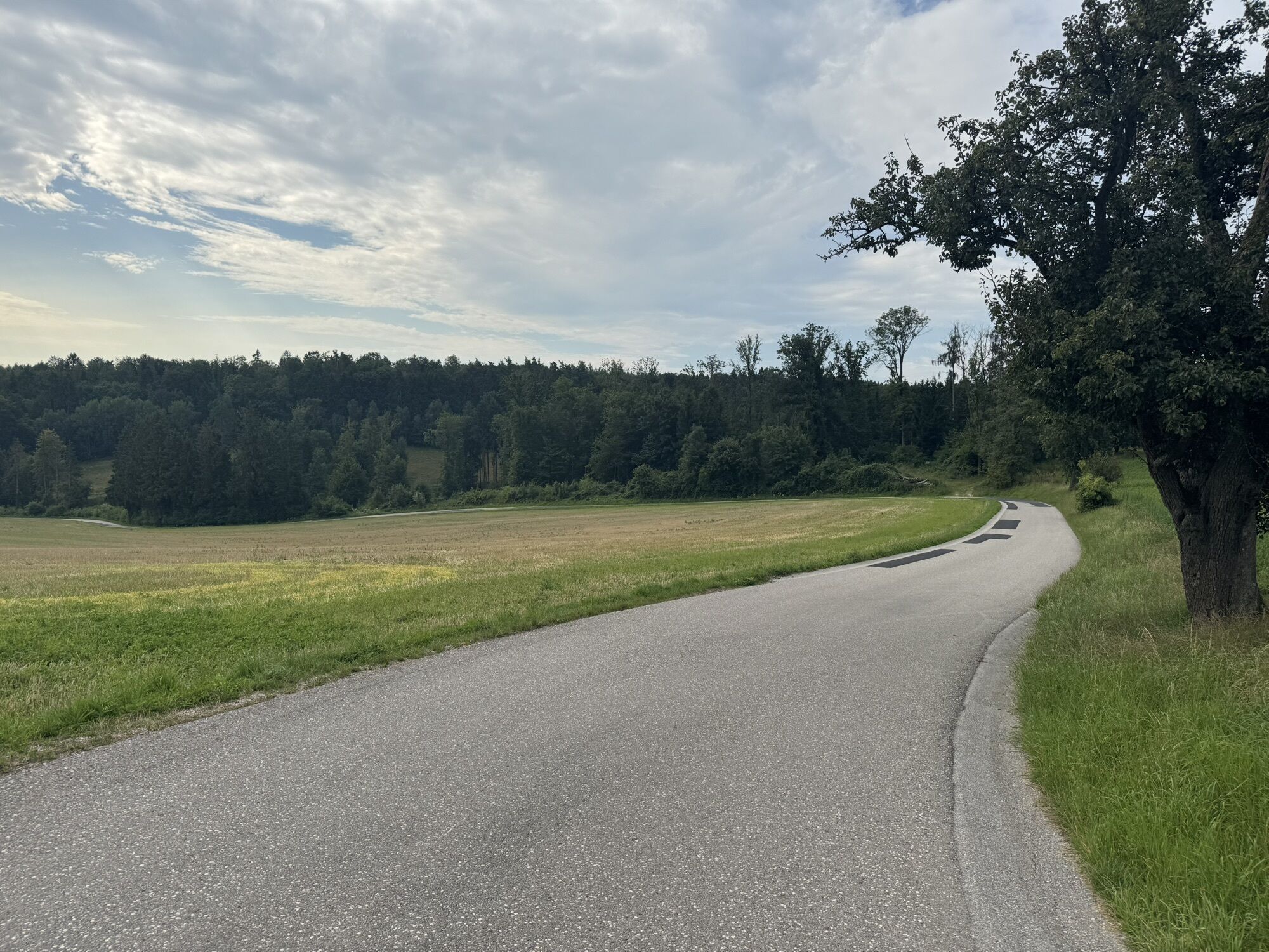
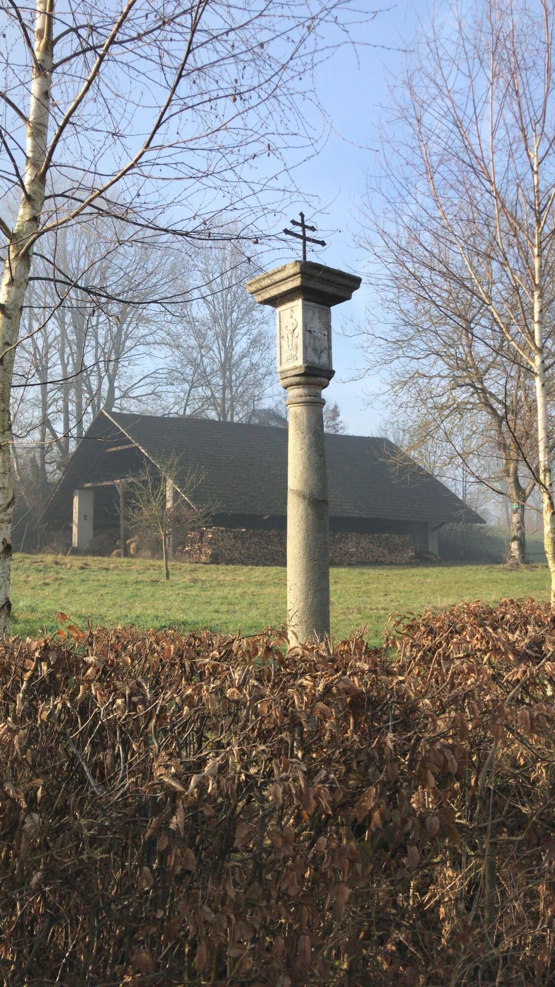
 © Franz ForstenlechnerVytvorené dňa 20.07.2025
 -
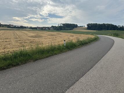
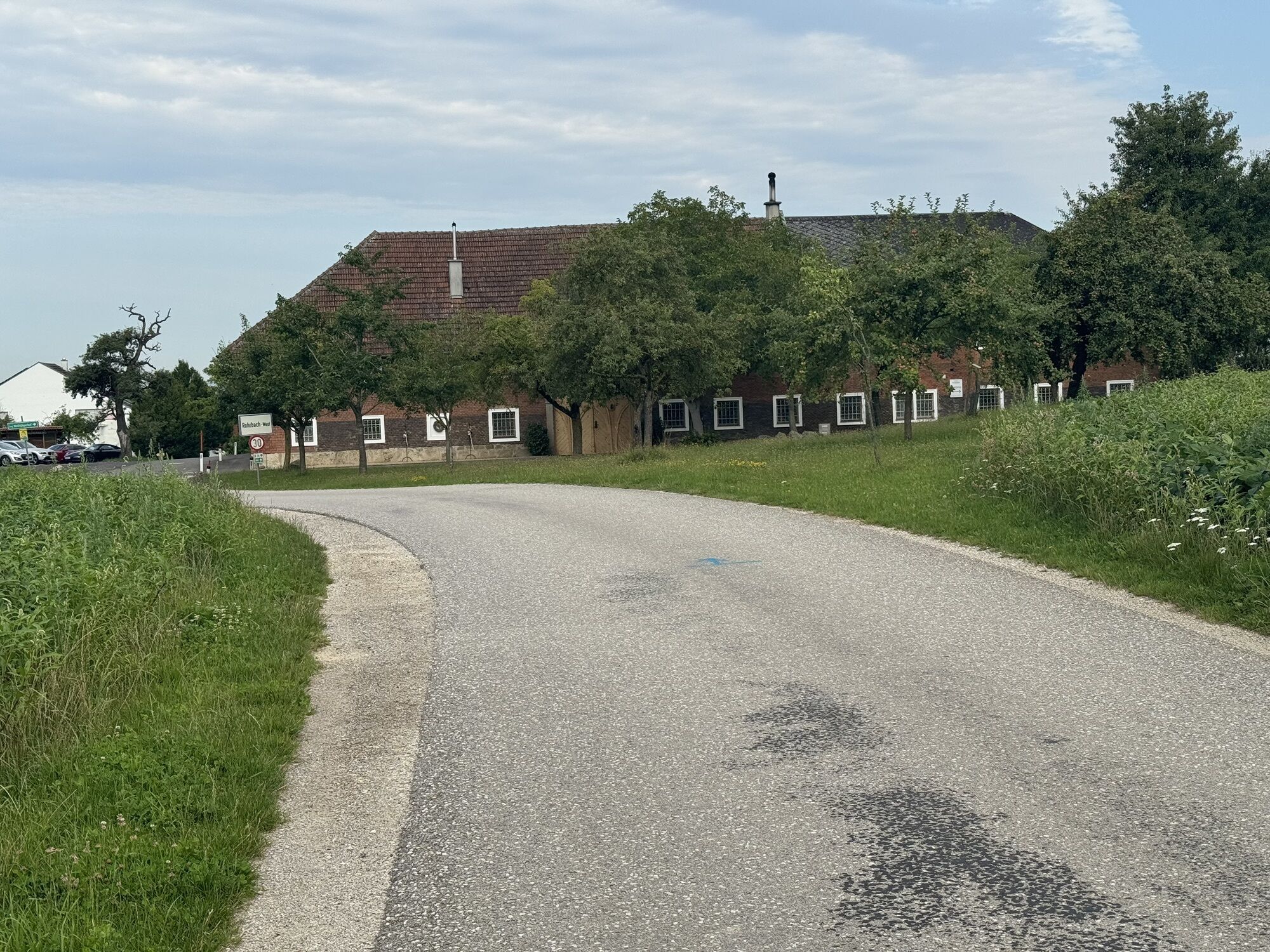
 © Franz ForstenlechnerVytvorené dňa 20.07.2025
 -
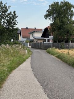
 © Franz ForstenlechnerVytvorené dňa 20.07.2025
 -
 © Franz ForstenlechnerVytvorené dňa 20.07.2025
 -
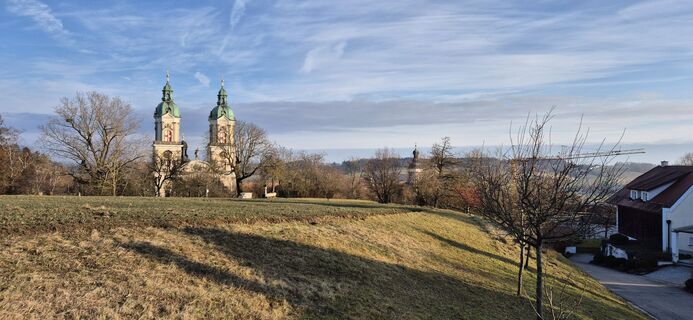
 © Georg ManchenVytvorené dňa 19.06.2025
 -
 © Hermann SchatkaVytvorené dňa 10.08.2024
 -
 © Hermann SchatkaVytvorené dňa 10.08.2024
 -
 © Alois PaucknerVytvorené dňa 02.02.2025
 -
 © Walter SuppanVytvorené dňa 01.01.2023
 -
 © Walter SuppanVytvorené dňa 01.01.2023

Mythical Danube River, Salty Traun River, Iron Enns River – a pleasure bike ride tracing the fascination of the land between these streams. River cycling along the Danube and Traun, the Traun-Danube floodplains...
Mythical Danube River, Salty Traun River, Iron Enns River – a pleasure bike ride tracing the fascination of the land between these streams. River cycling along the Danube and Traun, the Traun-Danube floodplains European protected area, the Linz cultural skyline, magnificent four-sided courtyards in the Traun-Enns hill ridge area ... and numerous cultural treasures. Final highlight: ferry crossing.
Highlights:
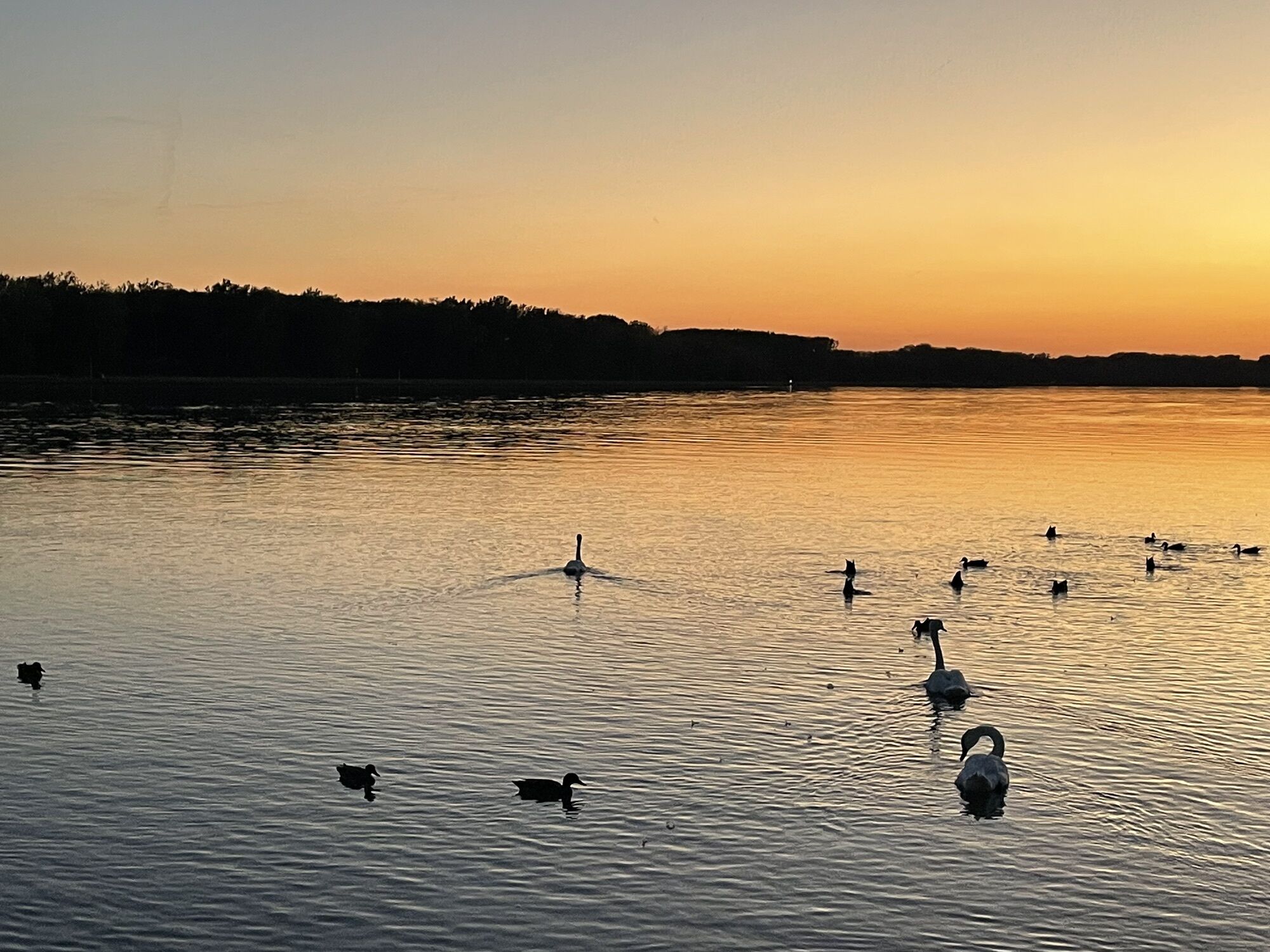
Danube jewel Mauthausen (magnificent riverside, granite art, Pragstein Castle…) Baroque jewel St. Florian Abbey (Bruckner organ, tomb of St. Florian...) Roman city Enns (UNESCO World Heritage Museum Lauriacum & Roman lime kilns, 360° panoramic view from the town tower) European protected area Traun-Danube floodplains (riparian forest & bird protection on the outskirts of Linz)

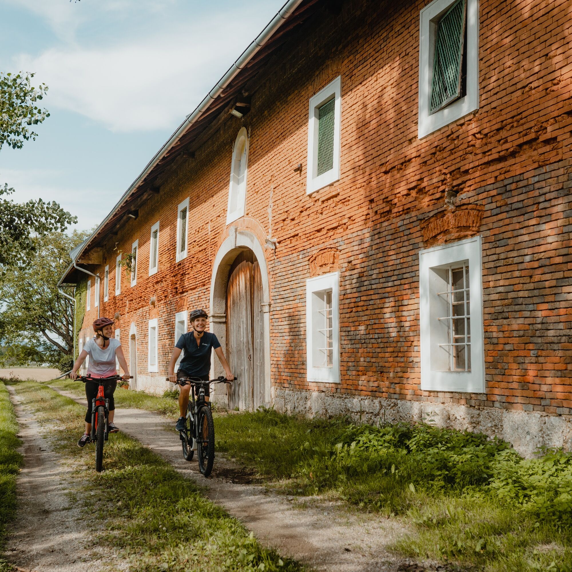
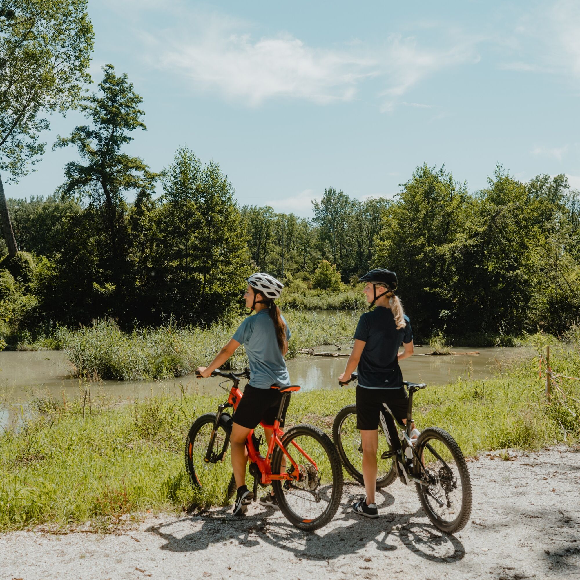
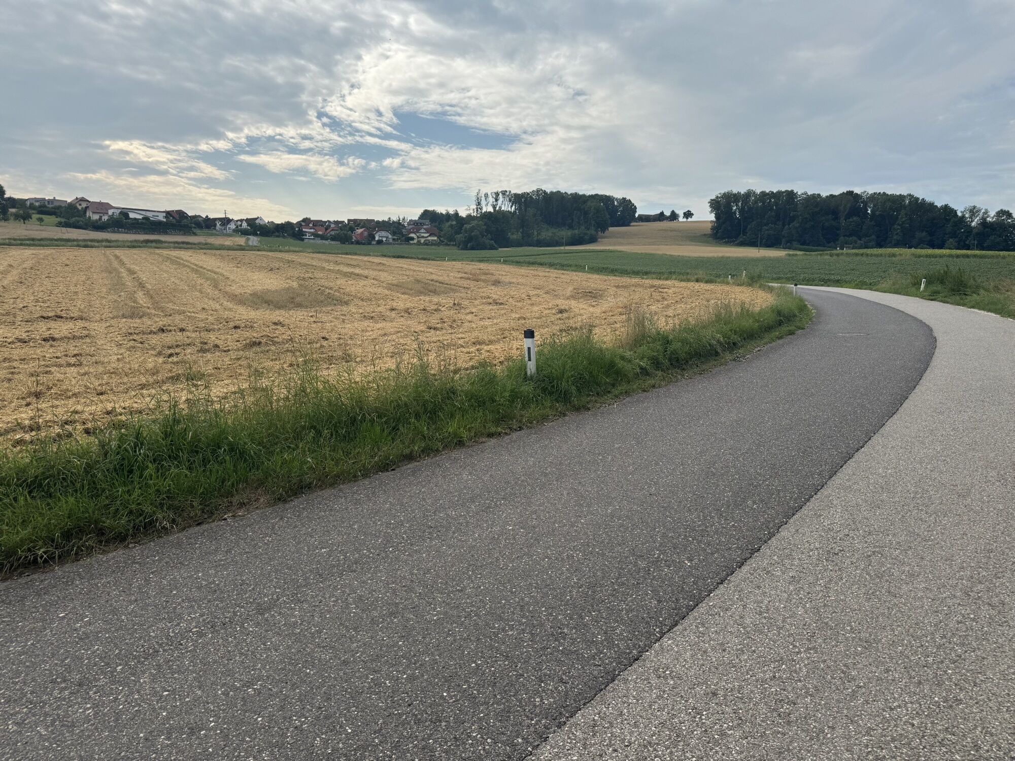
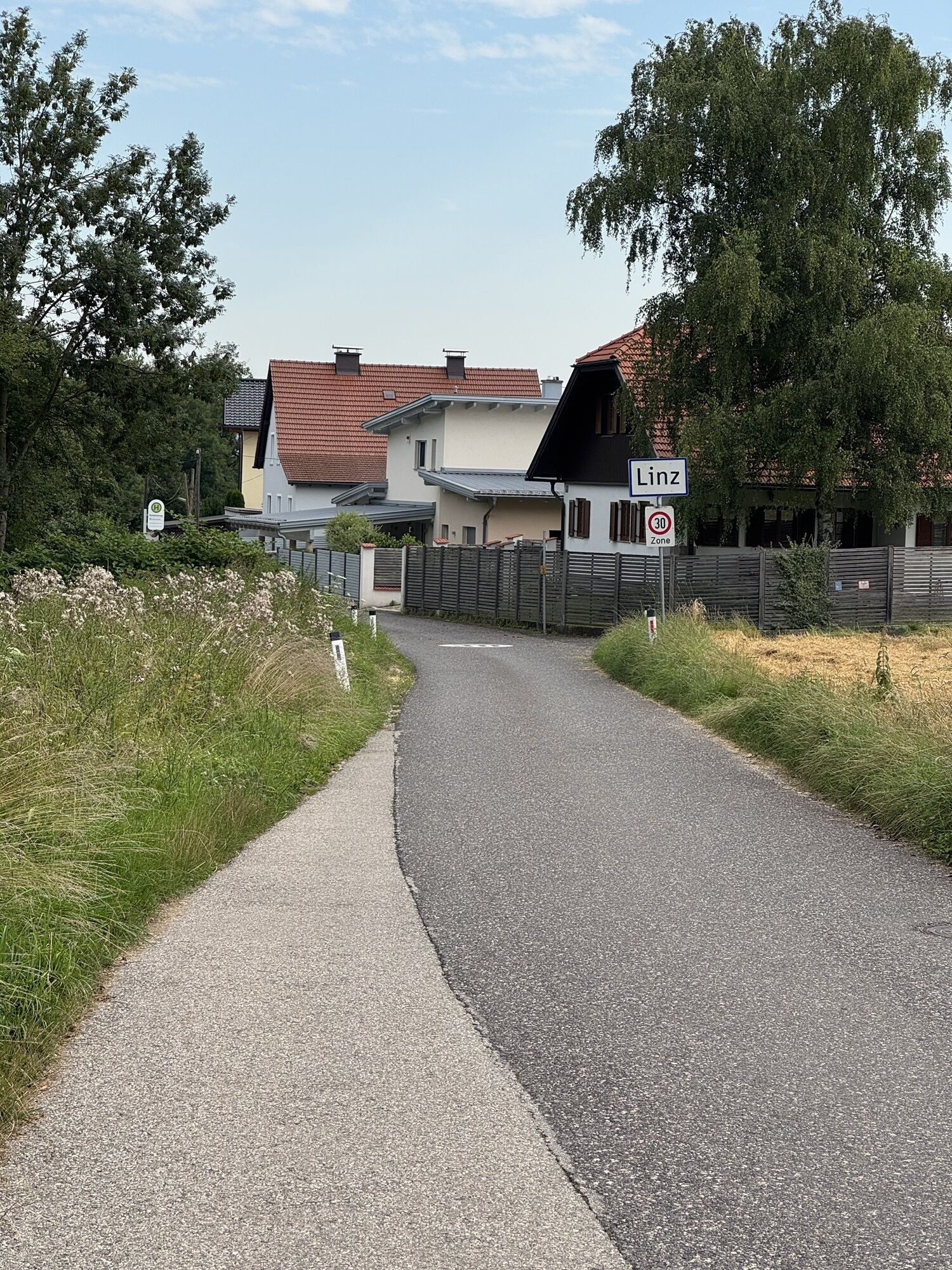
A magnificent start is the Danube jewel Mauthausen at the confluence of the Danube and Enns. The magnificent riverside with Pragstein Castle and the charming town center tell of prosperity through tolls, iron, salt, and granite. A Danube highlight! By the legendary Enns River, the precious iron ore from the Styrian Eisenwurzen once reached the Danube. From the Danube bank, you follow the edge of the Danube plain through settlement areas to St. Georgen an der Gusen. Initially on a slightly hilly, moderately trafficked secondary road, after Langenstein mostly on wide bike paths alongside the main road. Shortly before St. Georgen an der Gusen, the return to the mythical river begins. On secondary roads, the landscape becomes more rural. Finally, you cycle enjoyably through primeval riparian forests out to the mighty Danube stream.
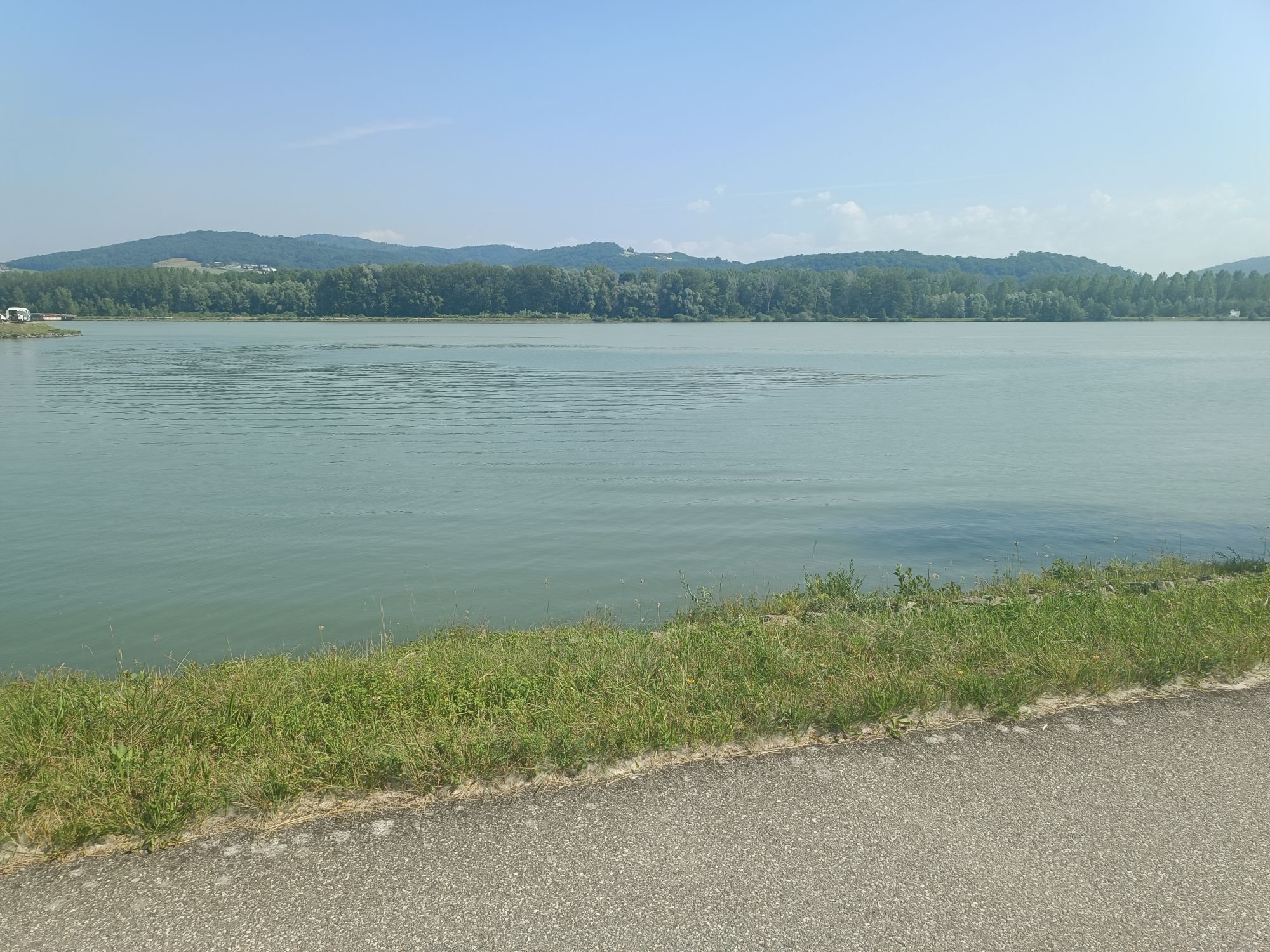
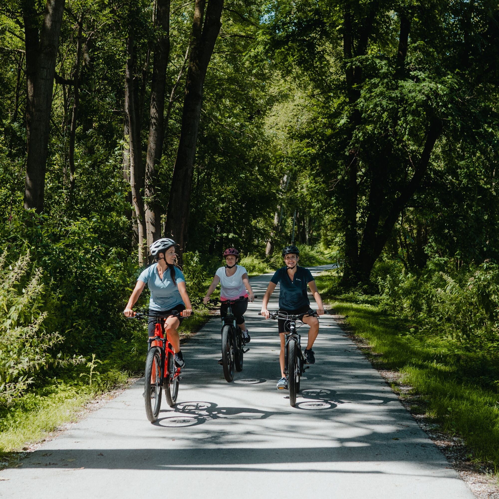
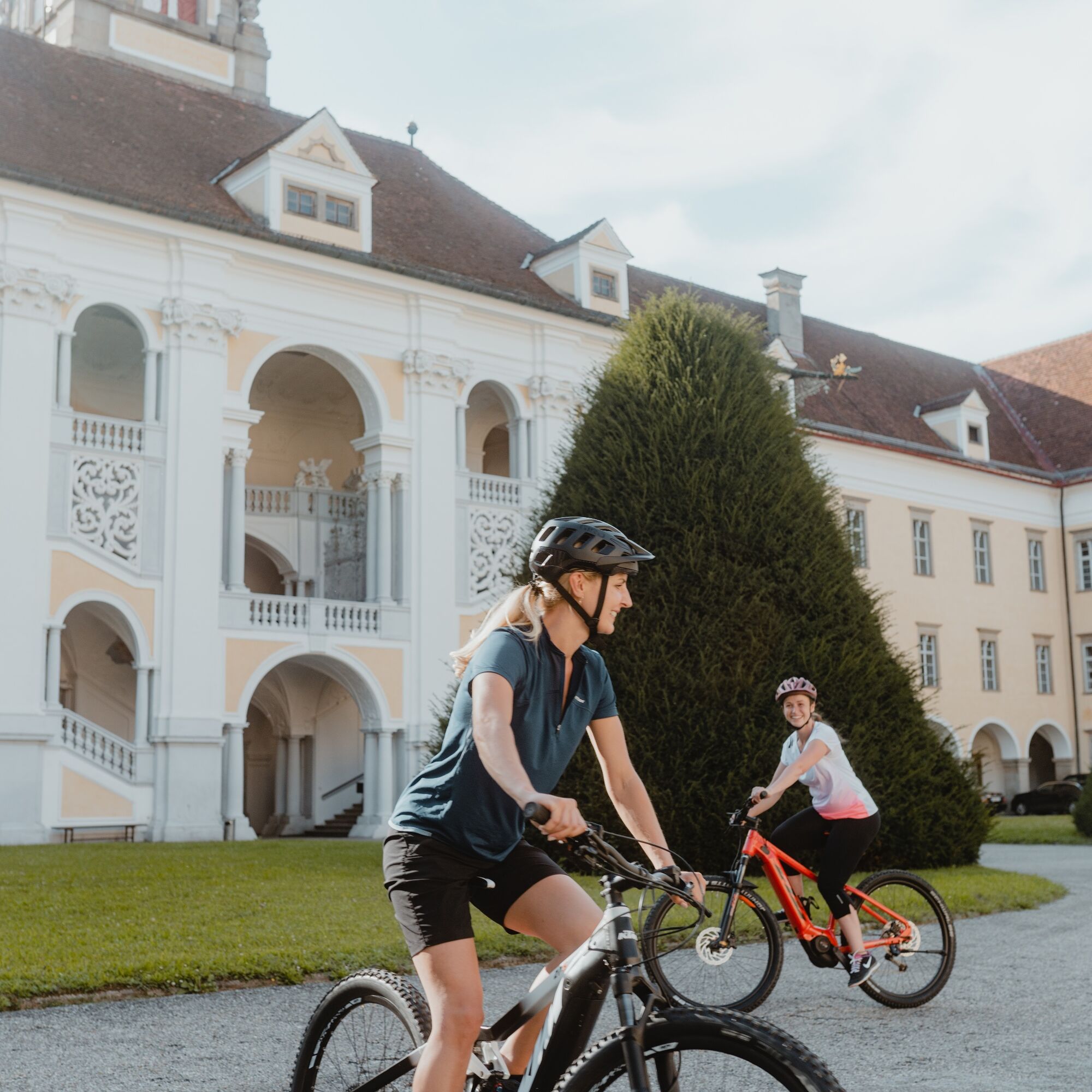
Shortly downstream, you cross over the impressive Danube power plant Abwinden-Asten to the other bank. Now begins top-class river cycling: enjoy pedaling along the dike on the legendary Danube bike path towpath upstream. A cooling breeze, ship traffic ... and birdsong. Barely known, on the left in the riparian forests lies the European protected area Traun-Danube floodplains, an important bird paradise. At the Traun mouth, Linz surprises with an almost surreal industrial landscape and reminds of its transformation into a cultural capital. On the wonderful riverbank bike path, you cycle along the legendary Traun River – on which the valuable salt from the Salzkammergut once reached the Danube – continuing to Ebelsberg. Today a district of Linz, Ebelsberg entered world history during Napoleon’s time through its strategically important Traun crossing. Here begins the journey through one of Upper Austria’s most beautiful rural cultural landscapes: gentle rolling hills, fertile fields, traditional scattered orchards, the largest four-sided courtyards in Upper Austria ... the Traun-Enns hill ridge area!
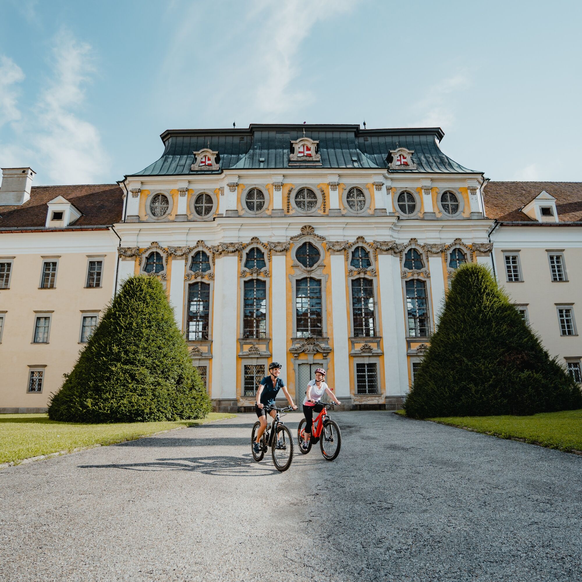
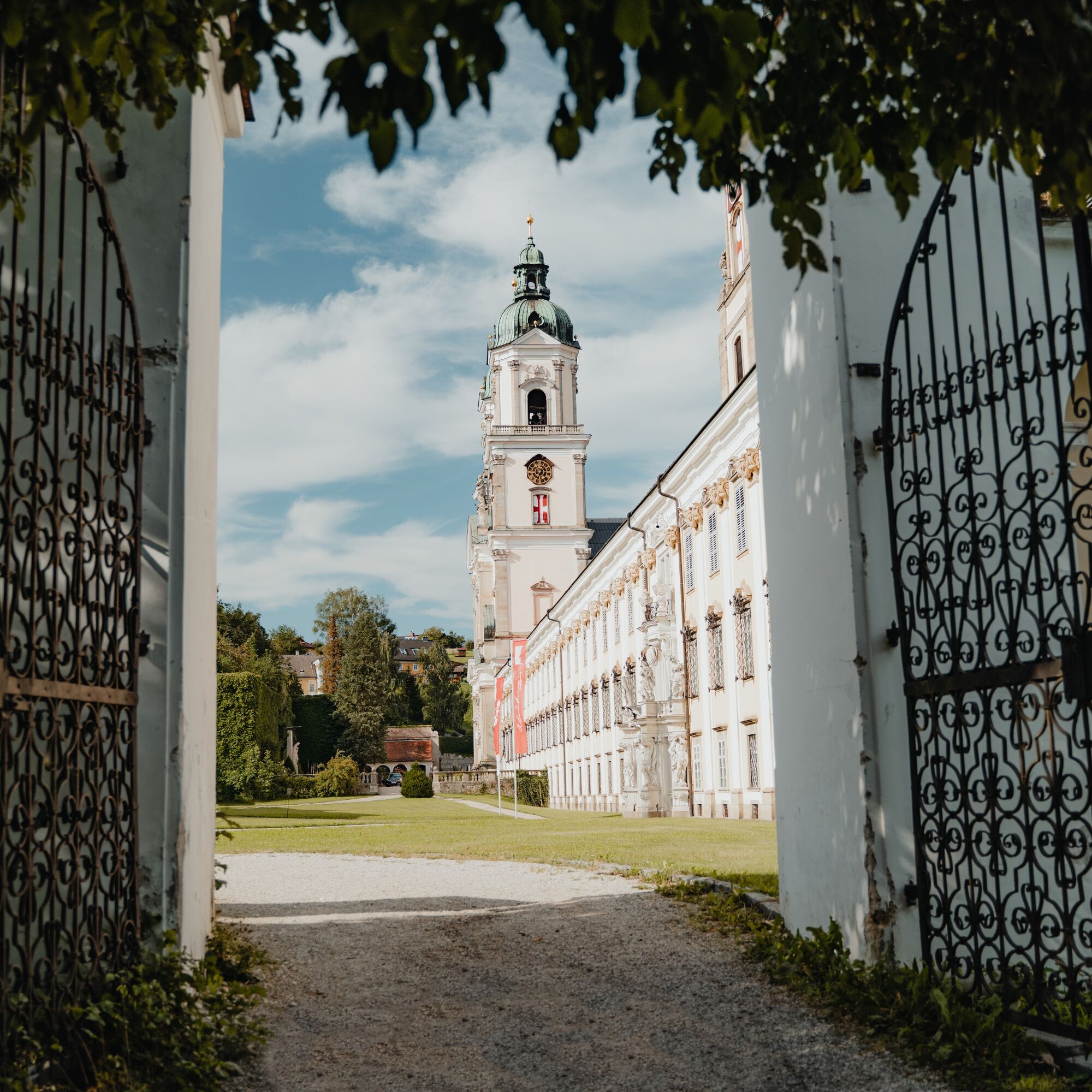
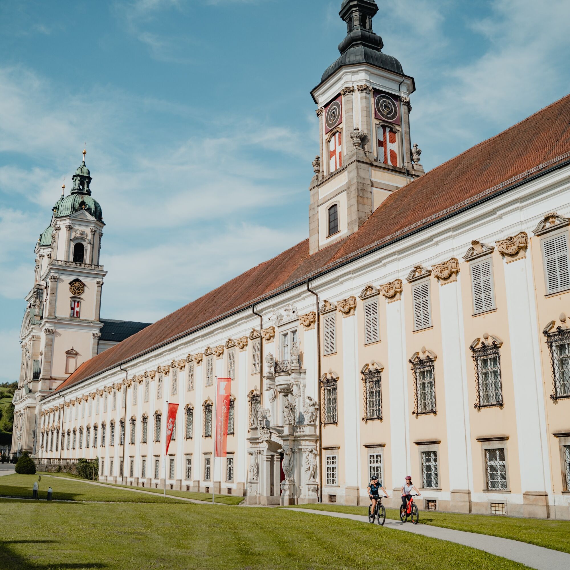
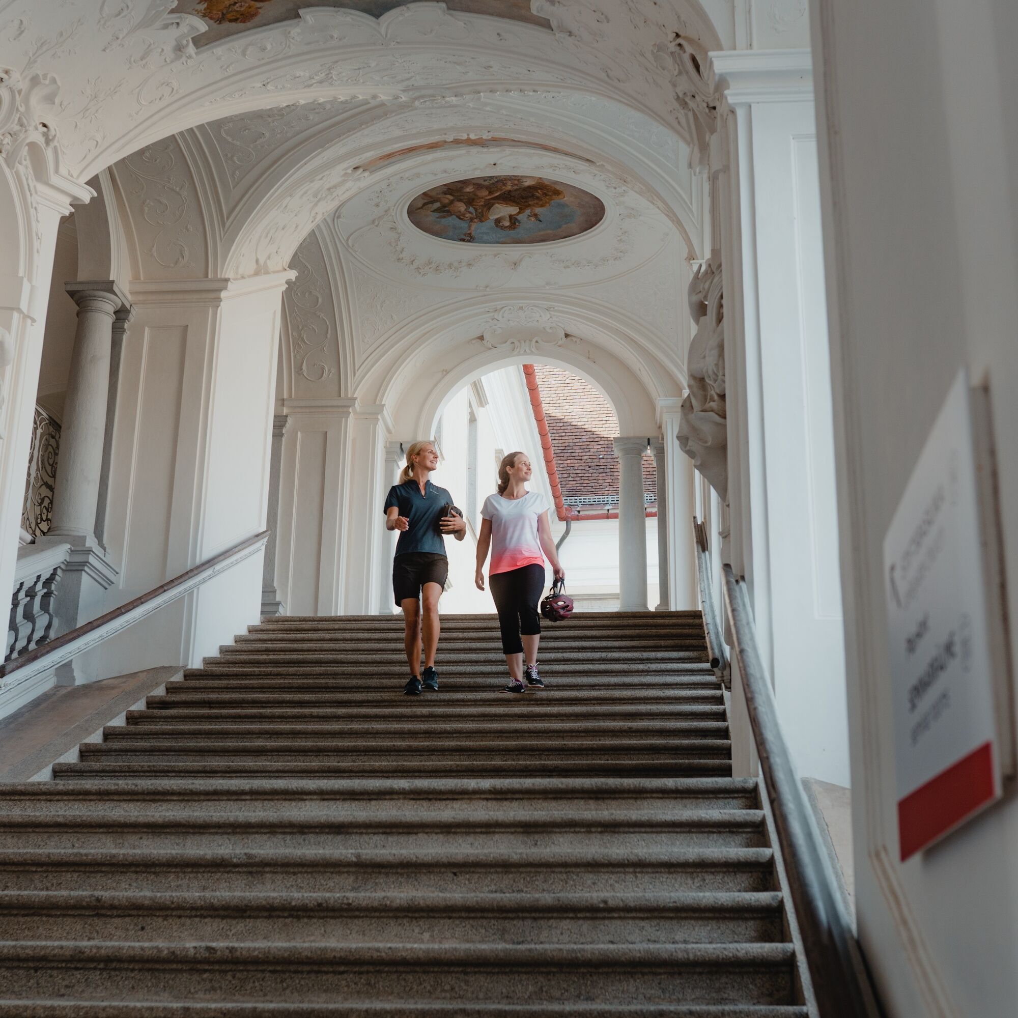
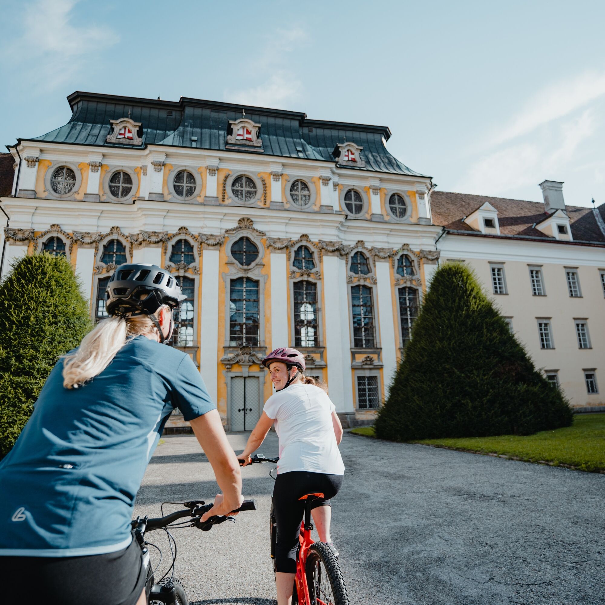
Quiet country roads meander in harmony with the landscape. Gradually rising gently to Wambach, then a short steep hill ridge demands a sweat tribute. The long enjoyable descent to Rohrbach surprises. At the manor-like Jahreszeitenhof (365 windows, 12 gates) in Gemering begins the final hill ridge ascent. After a short forest section, unusual views open at the summit onto the St. Florian Abbey basilica. A short, very steep (!) descent and you stand before the imposing Baroque jewel St. Florian Abbey, a Danube highlight! It is one of Austria’s largest Baroque monasteries: the abbey basilica, the world-famous Bruckner organ, the tombs of St. Florian and music virtuoso Anton Bruckner ... Have fun discovering! Another short, very steep (!) descent and you cycle through the historic town of St. Florian out into the Danube plain.
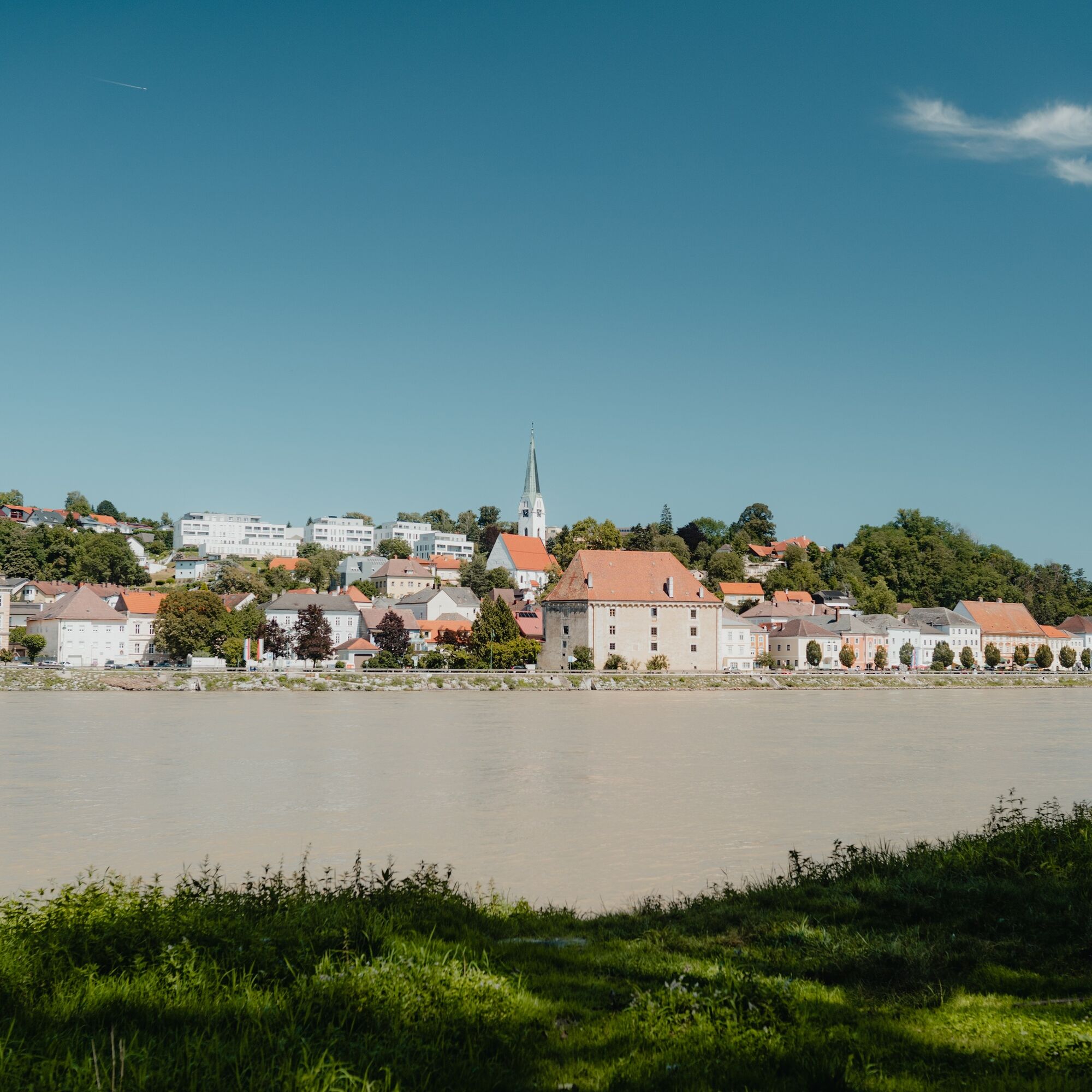
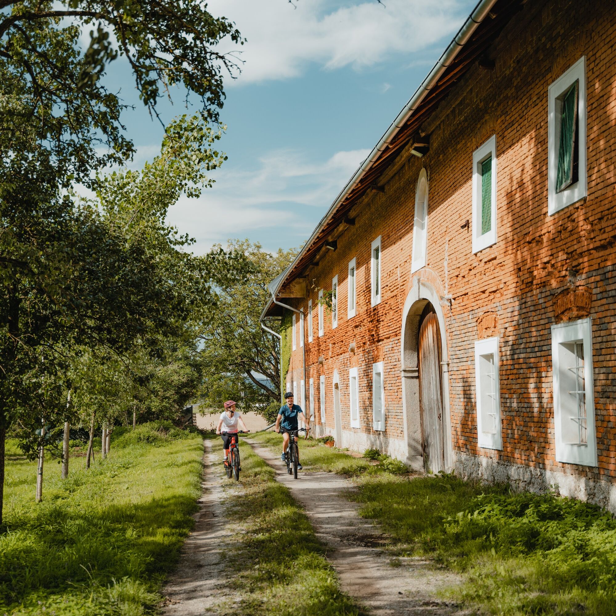
Through a mosaic of fertile fields, past the remarkable open-air museum Sumerauerhof and other beautiful four-sided courtyards ... you continue almost flat on country roads toward Enns. Between the motorway and city, road traffic briefly increases. Finally, perched on a ridge is the picturesque old town of Enns with its magnificent main square and 60 m high town tower, a Danube highlight! Enns is Austria’s oldest city and prospered through salt trade. Furthermore, in Roman times – then called Lauriacum – it was an important administrative city and legion camp. Tip: the magnificent 360° panoramic view from the town tower makes the multifaceted fascination of Enns clearly tangible! Then you roll down into the new town and cycle through fertile farmland – partly with a photogenic industrial skyline – out of the Danube plain. In the primeval riparian forest, a magnificent view of the historic Danube market Mauthausen completes the experience at the dock of the Donauradfähre. During the crossing, this scenery and the splashing of the water instinctively evoke reflection – a bike tour in the river!
This pleasure cycling route leads almost entirely over quiet, asphalted (secondary) roads and bike paths. Only between the motorway and Enns should you expect slightly more traffic over just under 2 km, depending on the time of day. Basic shifting skills are advantageous in the hilly Traun-Enns hill ridge area. In St. Florian, two short, steeper descents require special caution. Please also note the operating times of the Donauradfähre ENNSEGG for the final ferry crossing to Mauthausen. If this is not in operation, you can use the alternative route over the Mauthausen Danube Bridge starting from Enns city center.
https://www.donauregion.at/faehren
Signposting:
To facilitate your orientation, the Danube cycling routes have been marked with a dedicated bike guidance system. This route follows the signage "R1.11 3-River-Route".
How to get to the Upper Austrian Danube region?
The fastest way to your destination – by train, bus, car, ship, or plane.
2
Obľúbené výlety v okolí
-
4,6
Schwertberg: Weltstoarunde
svetloTuristika 11,4 km -
4,1
Wartberg Ob der Aist, Natura Aist Trail Rundwanderung
svetloTuristika 8,37 km -
4,7
Steyregg Donau-Höhen-Rundwanderweg Pulgarn - Hohenstein (und zurück)
svetloTuristika 7 km -
4,7
Steyregg Pfenningberg-Gipfelwanderweg
strednáTuristika 4 km -
4,6
Aisttalrundweg + P6
svetloTuristika 9,36 km -
4,2
Linz: City Hiking Trail Pöstlingberg
strednáTuristika 7,71 km -
5,0
Steyregg AV 50 Plesching - GH Daxleitner
svetloTuristika 4 km -
5,0
Steyregg 3 Buchen Weg
strednáTuristika 8 km -
4,9
Kreuzweg auf den Pöstlingberg Linz, Österreich
svetloTuristika 1,30 km -
Dunajská cyklocesta, 3. etapa, severný breh: Linz - Grein
svetloDiaľková cyklotrasa 60,4 km
Turistika a stopovanie


Nenechajte si ujsť ponuky a inšpiráciu na ďalšiu dovolenku
Vaša e-mailová adresa bol pridaný do poštového zoznamu.