
Panorama North" beer bike tour
ťažké
Získajte túto prehliadku v mobilnom telefóne
Panorama North" beer bike tour
ťažké
Cyklistika
53,42
km
Naskenujte kód QR a spustite navigáciu v aplikácii bergfex


Turistika a stopovanie



Panorama North" beer bike tour
ťažké
Vzdialenosť
53,4
km
Trvanie
04:26
h
Ascent
914
hm
Hladina mora
570 -
954
m

Naviguj sa počas prehliadky v aplikácii
Nainštalujte si aplikáciu zadarmo a sledujte trasu vďaka GPS navigácii a sledovaniu polohy.
Využite službu „ bergfex “ už teraz v aplikácii
Naskenuj QR kód pomocou fotoaparátu
Ak máte aplikáciu nainštalovanú, obsah sa otvorí priamo. Ak aplikáciu ešte nemáte, budete presmerovaní na stránku, kde si ju môžete bezplatne stiahnuť.
Stiahnutie skladby
Panorama North" beer bike tour
ťažké
Cyklistika
53,42
km
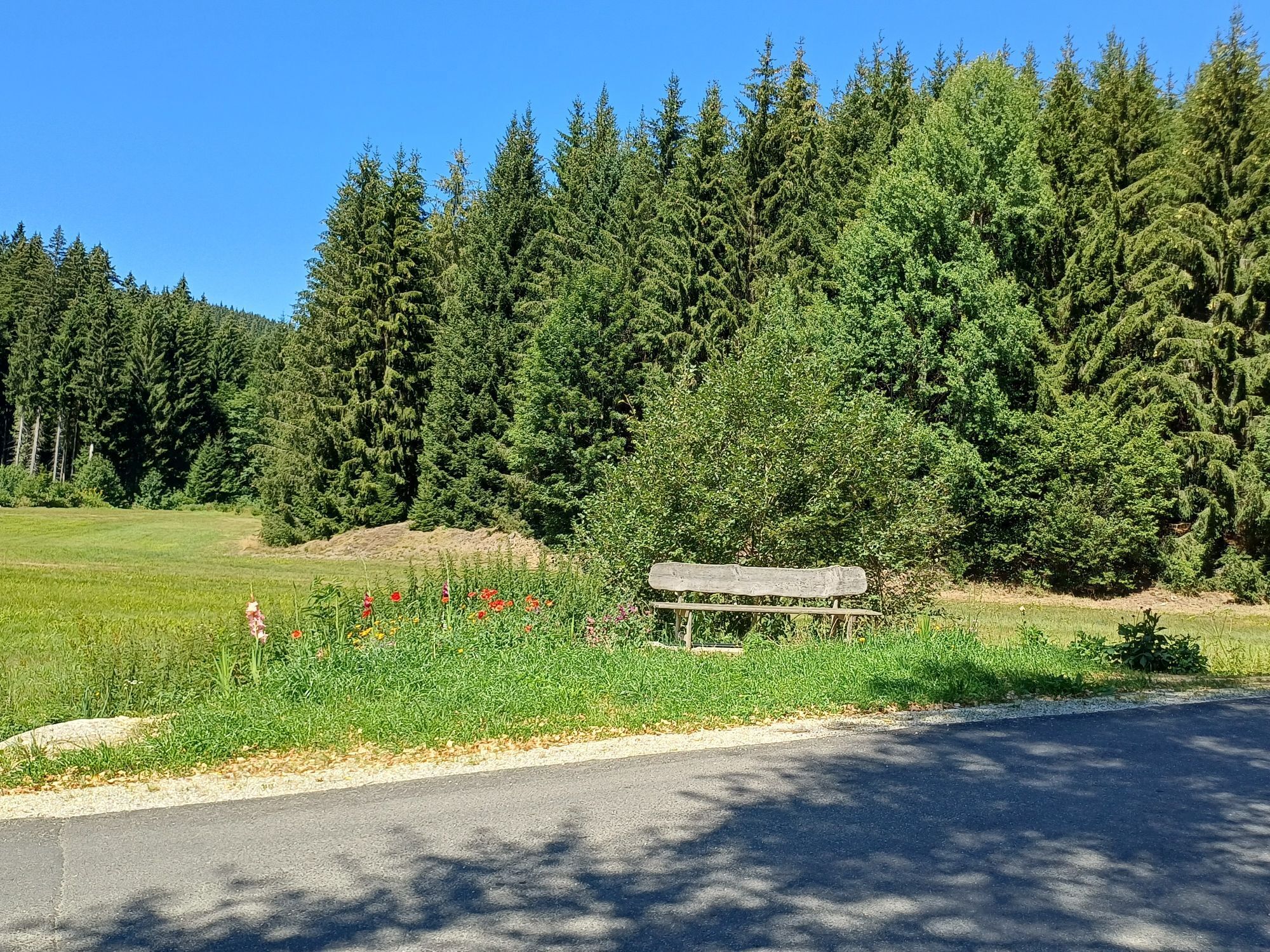
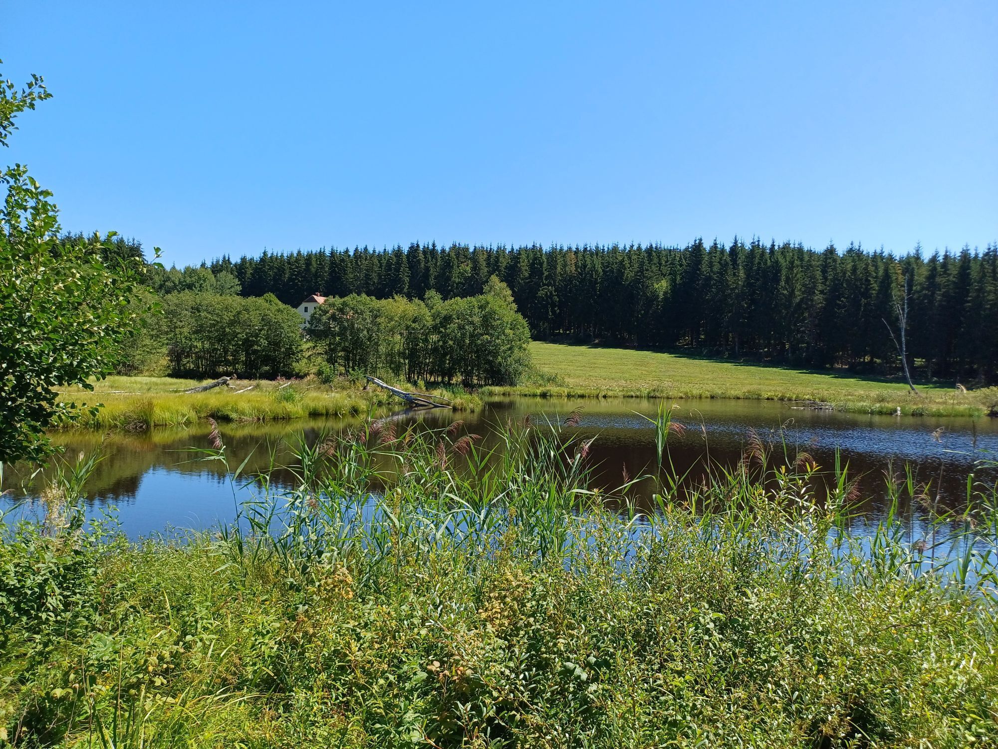
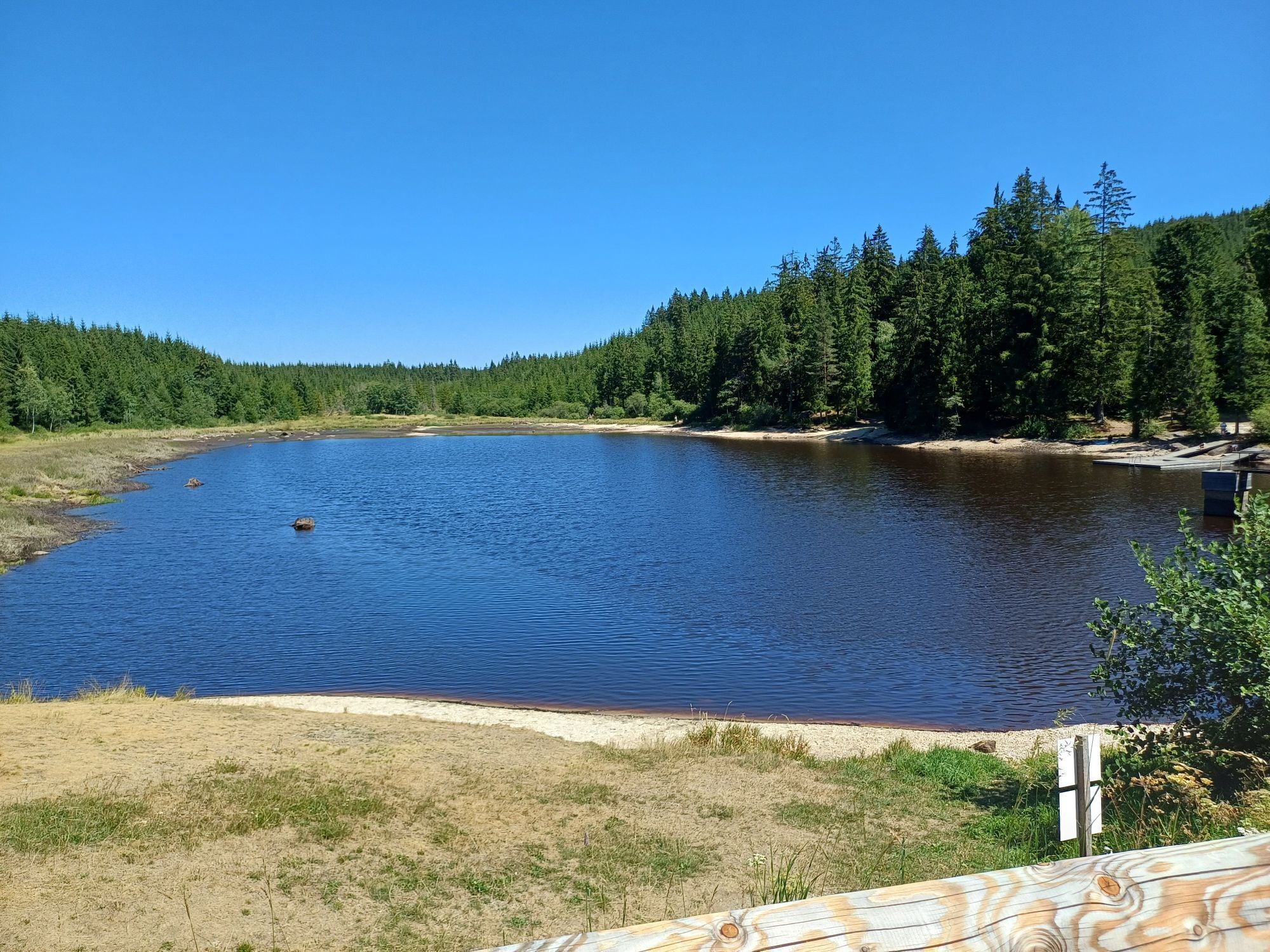
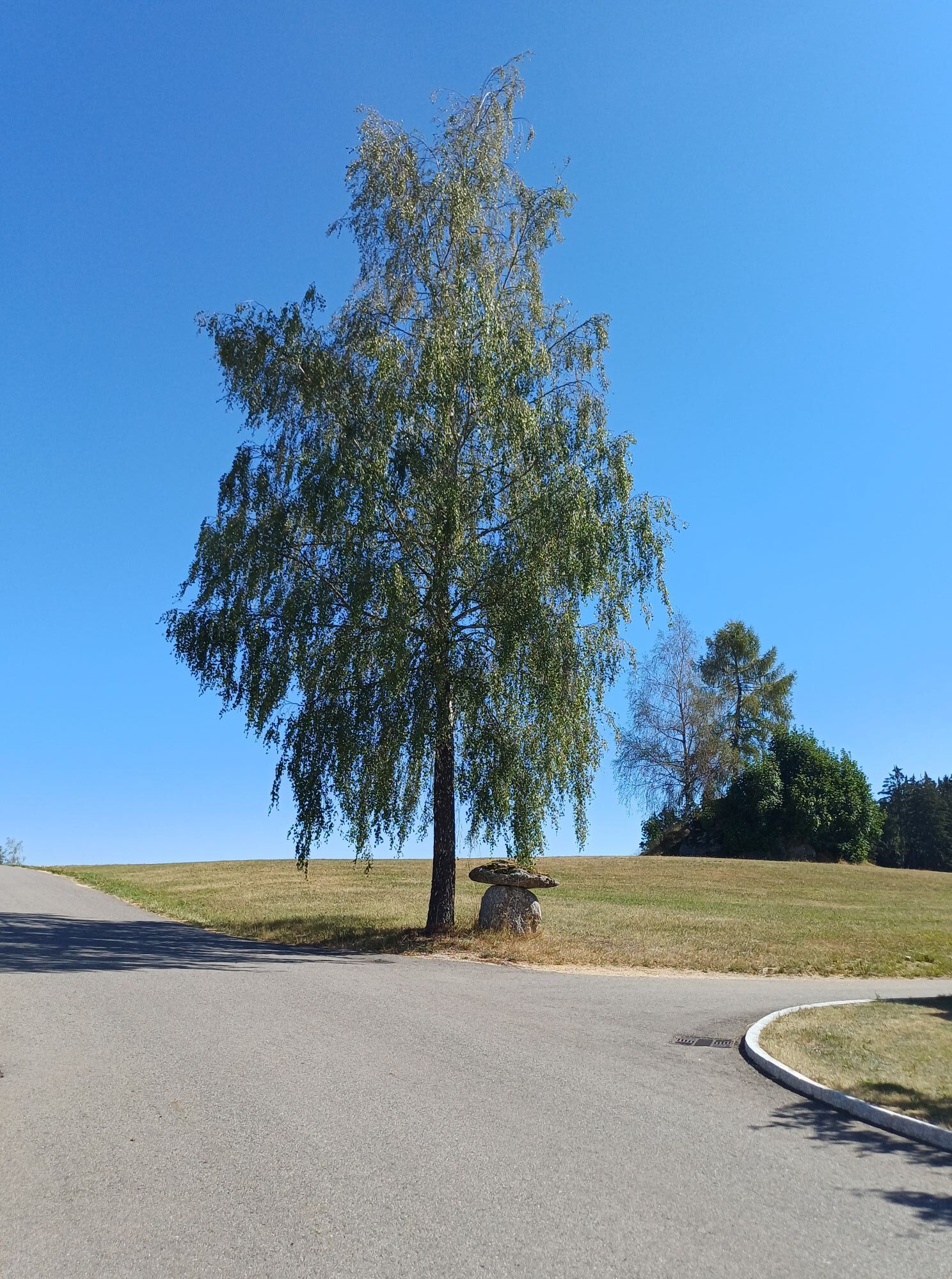
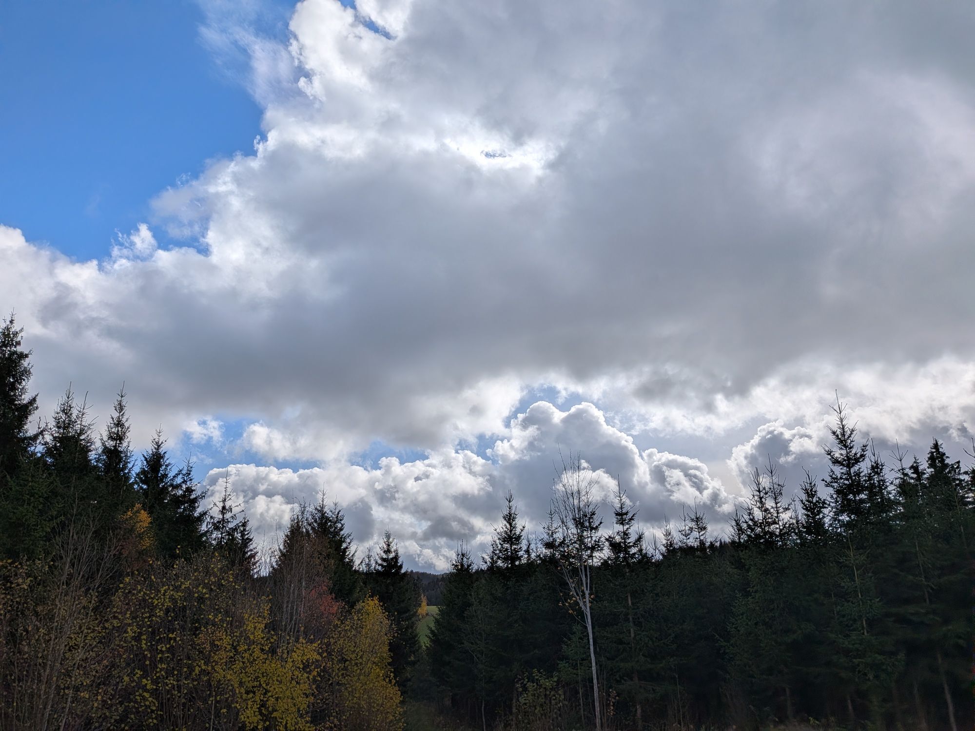
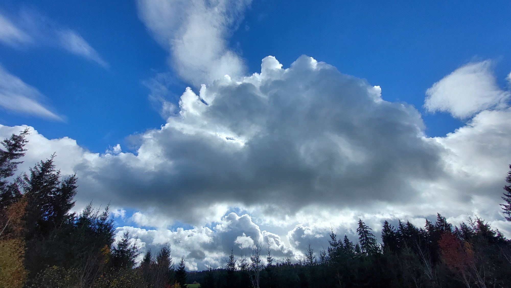
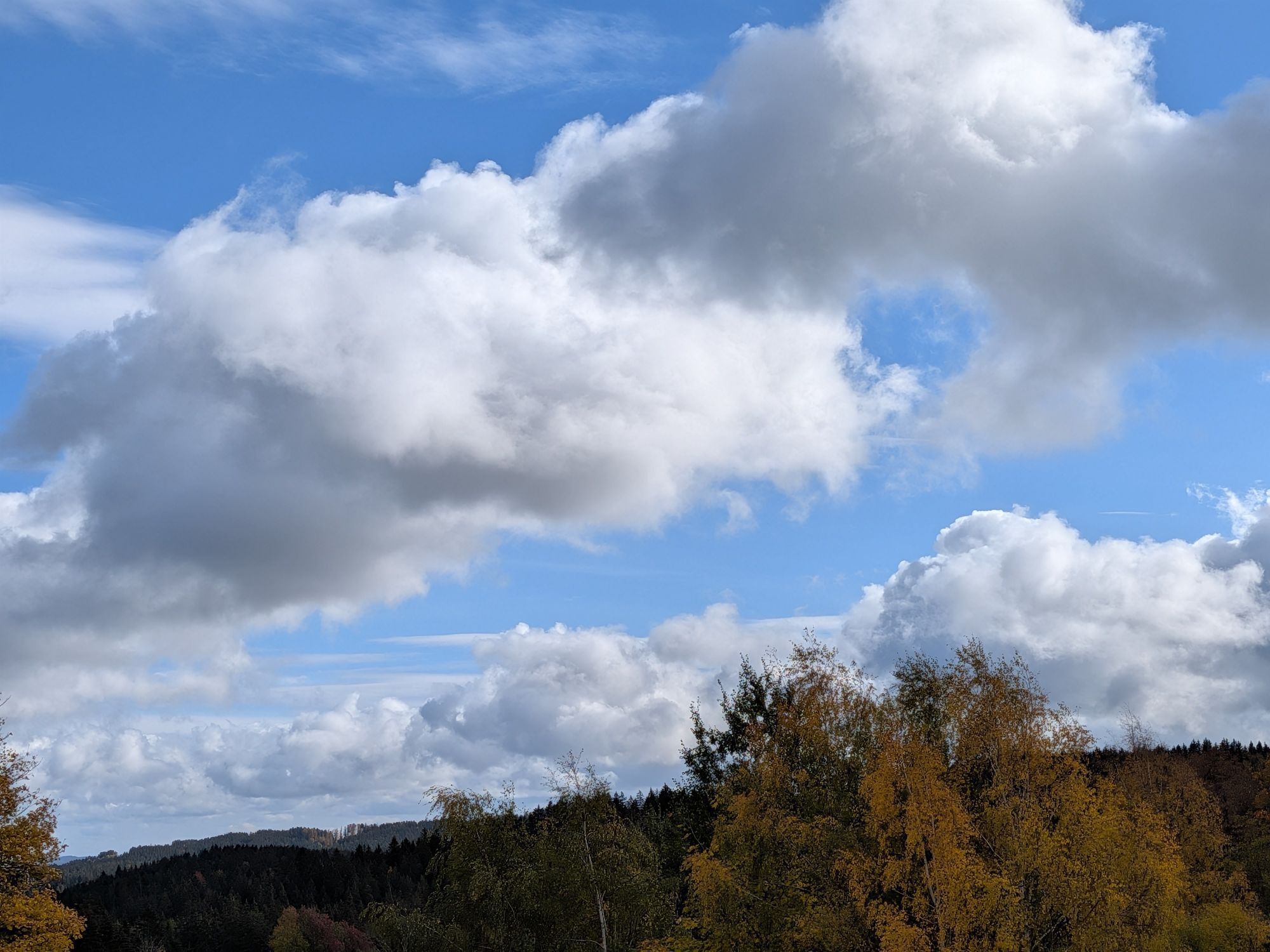
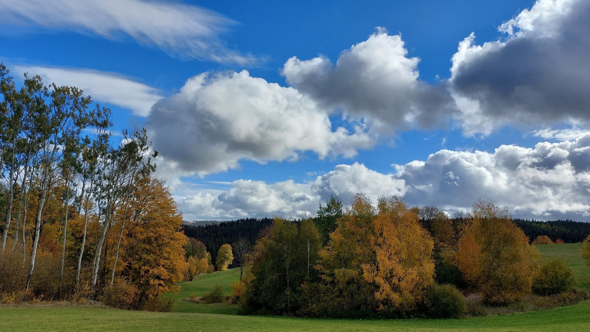
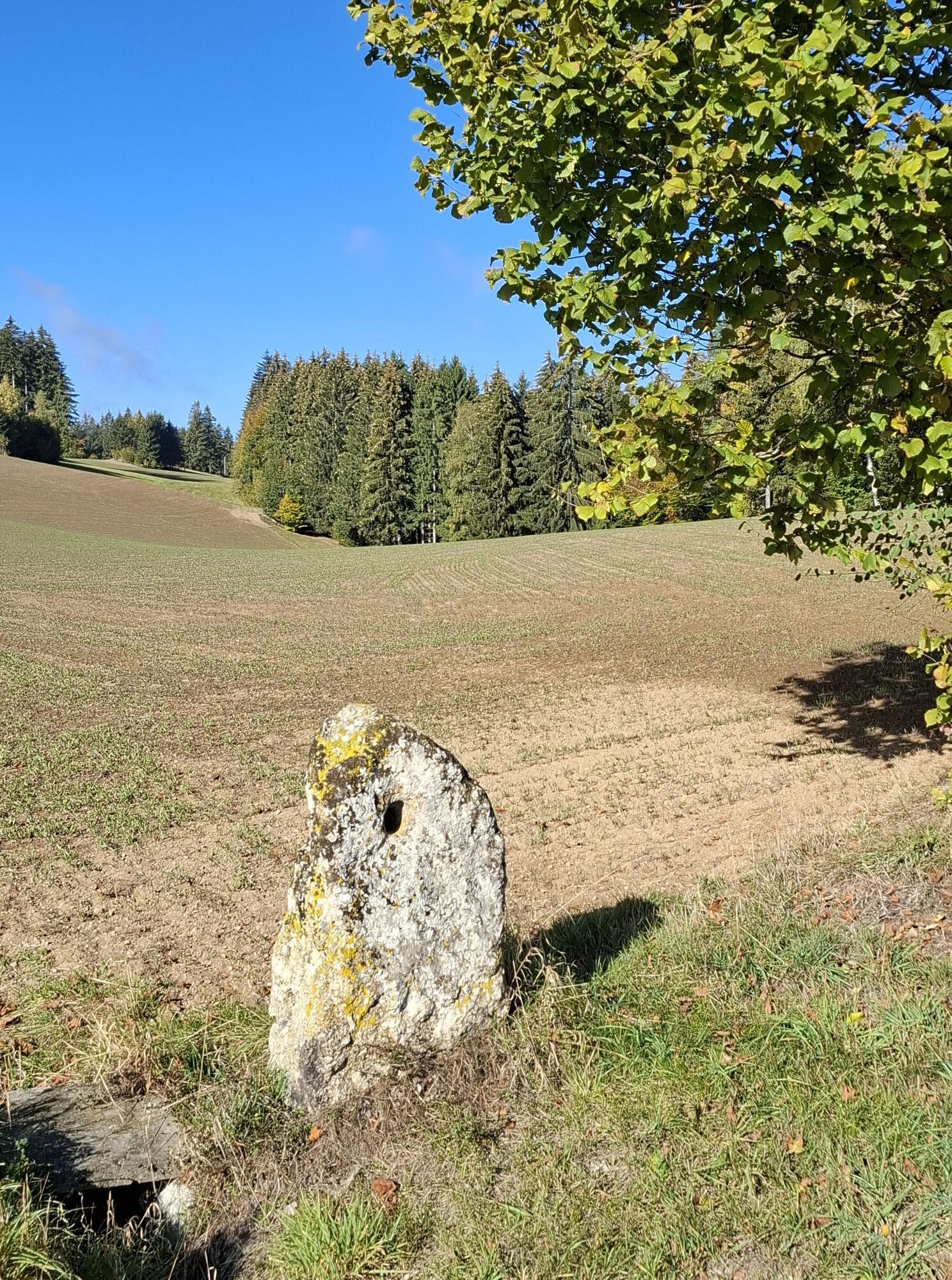
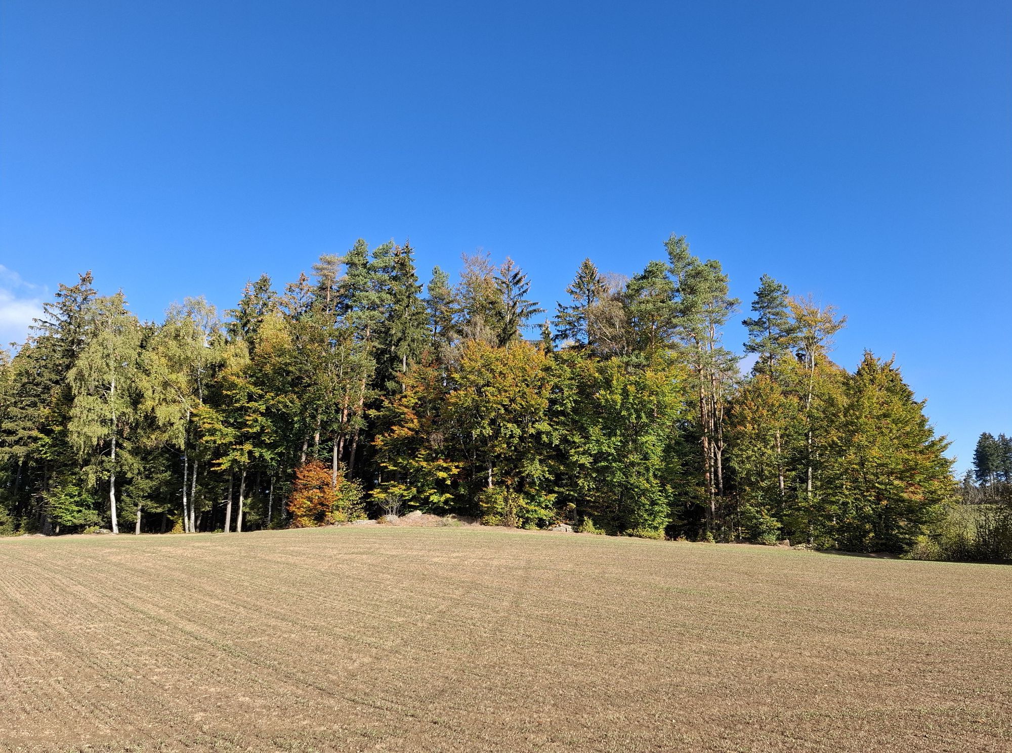
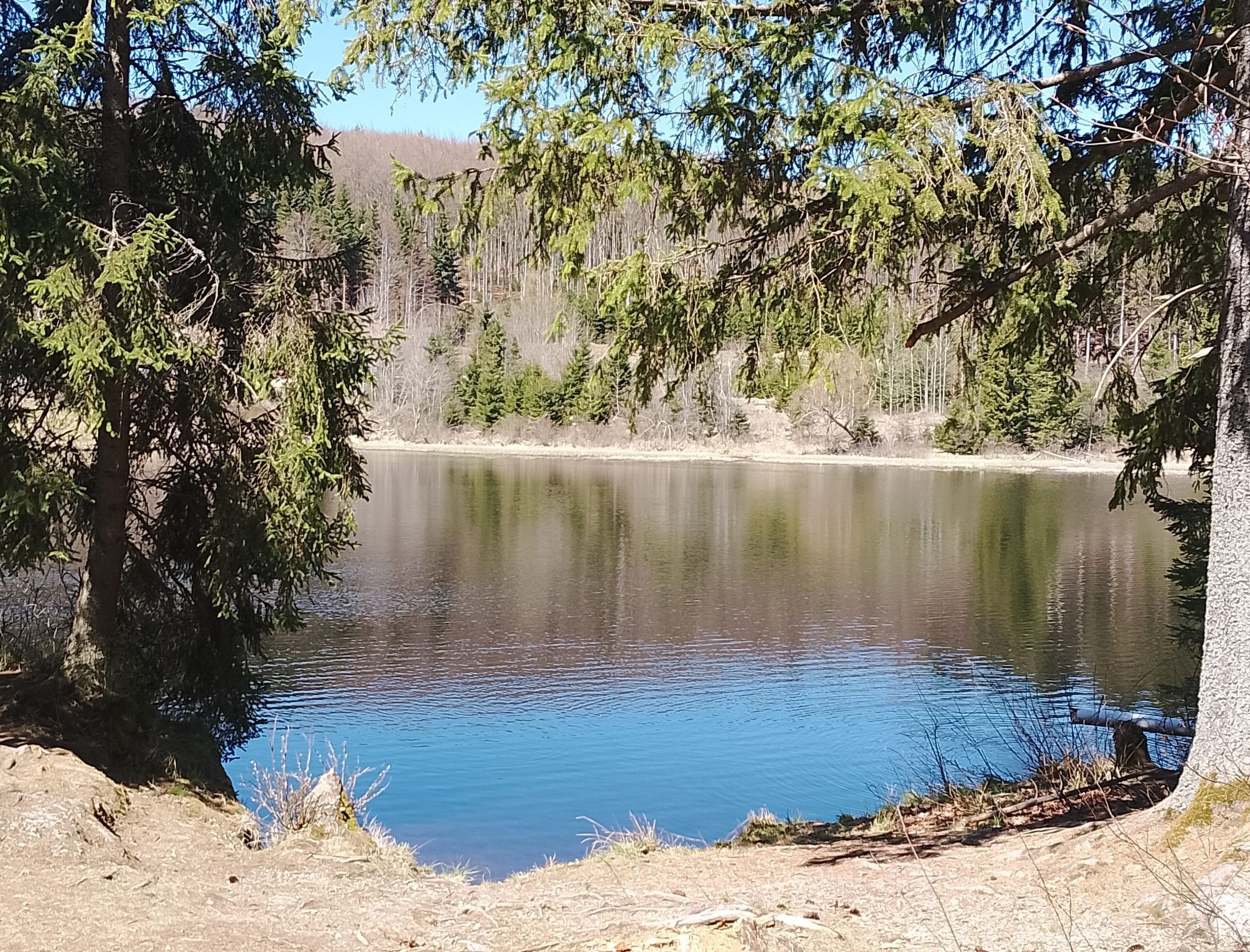

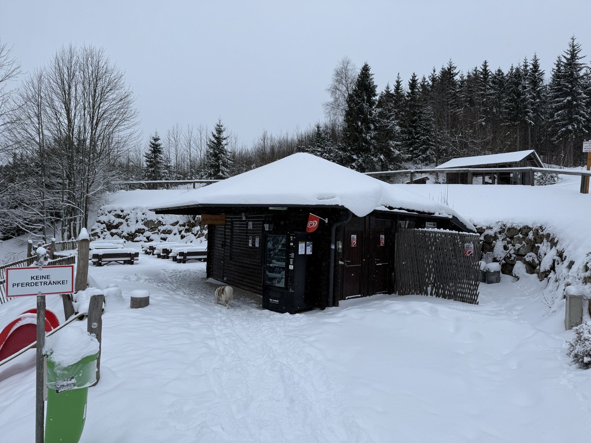
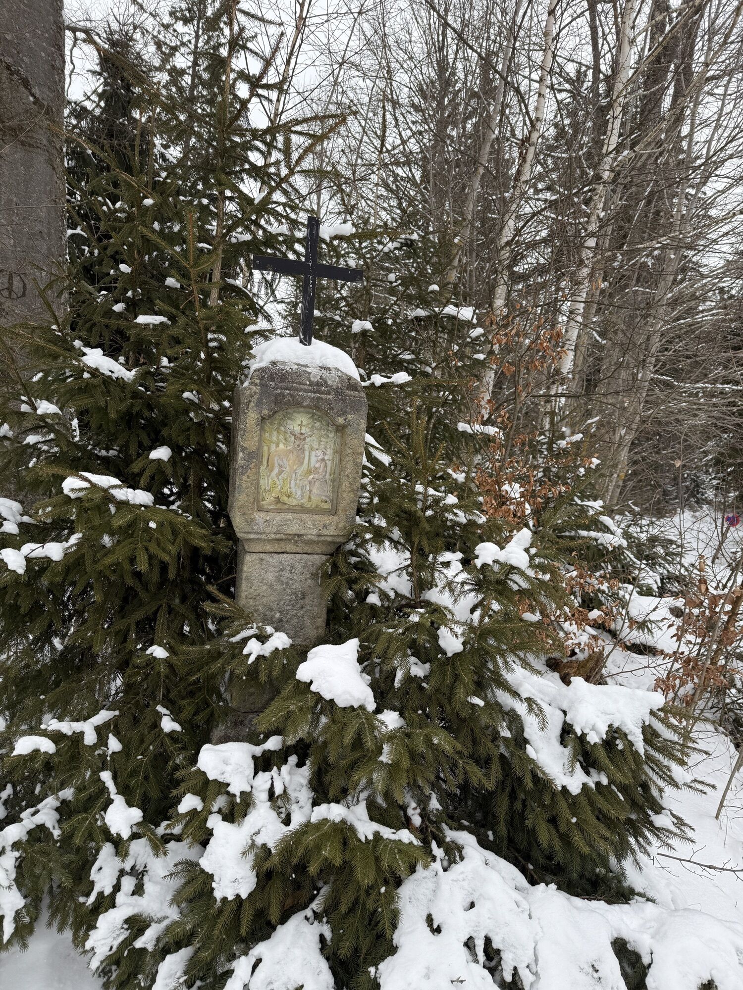
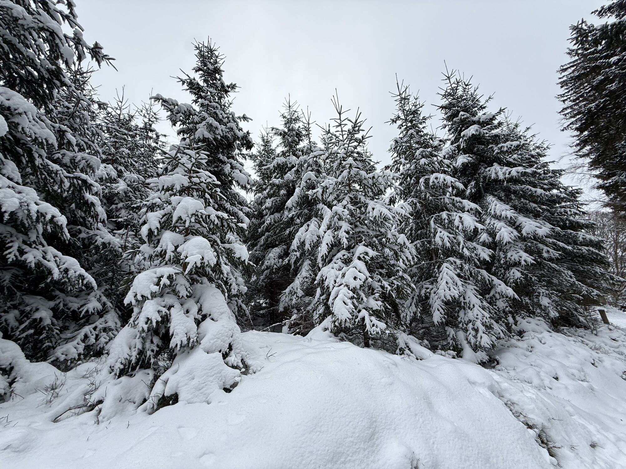
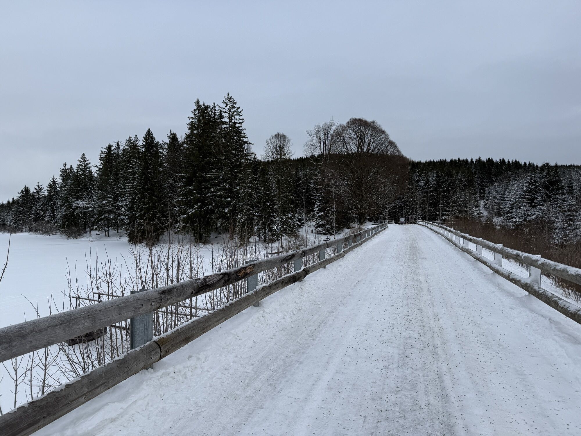


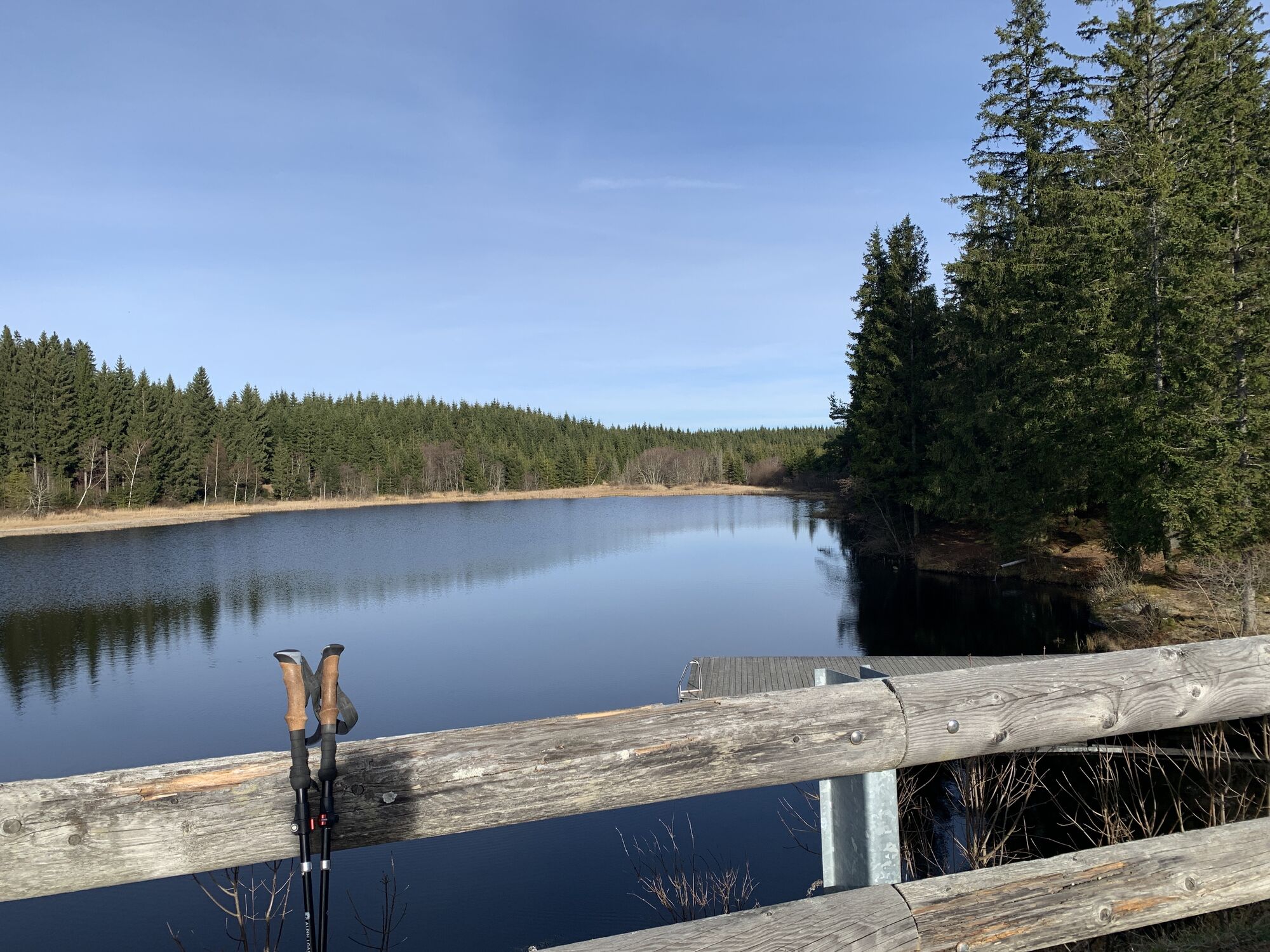
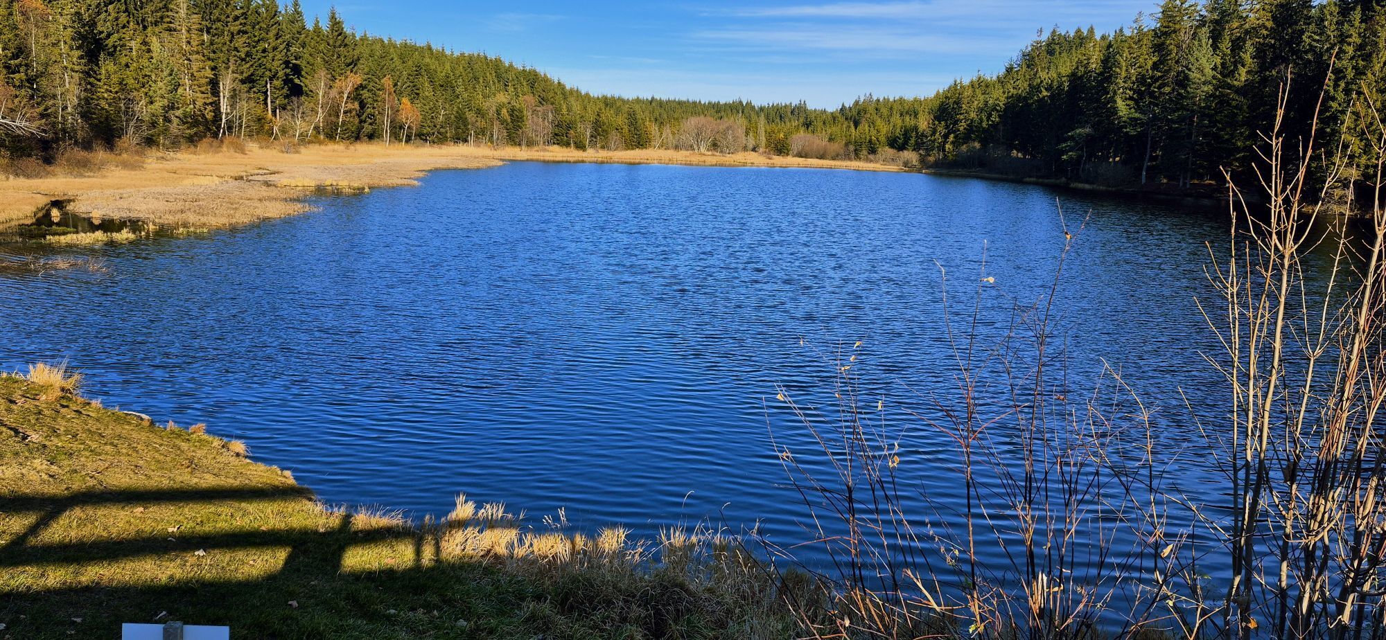


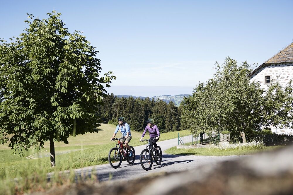
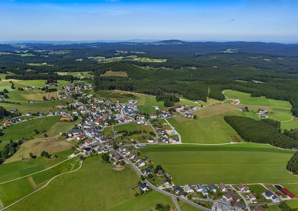
The panorama of the Mühlviertler Alm Freistadt holiday region and the Waldviertel
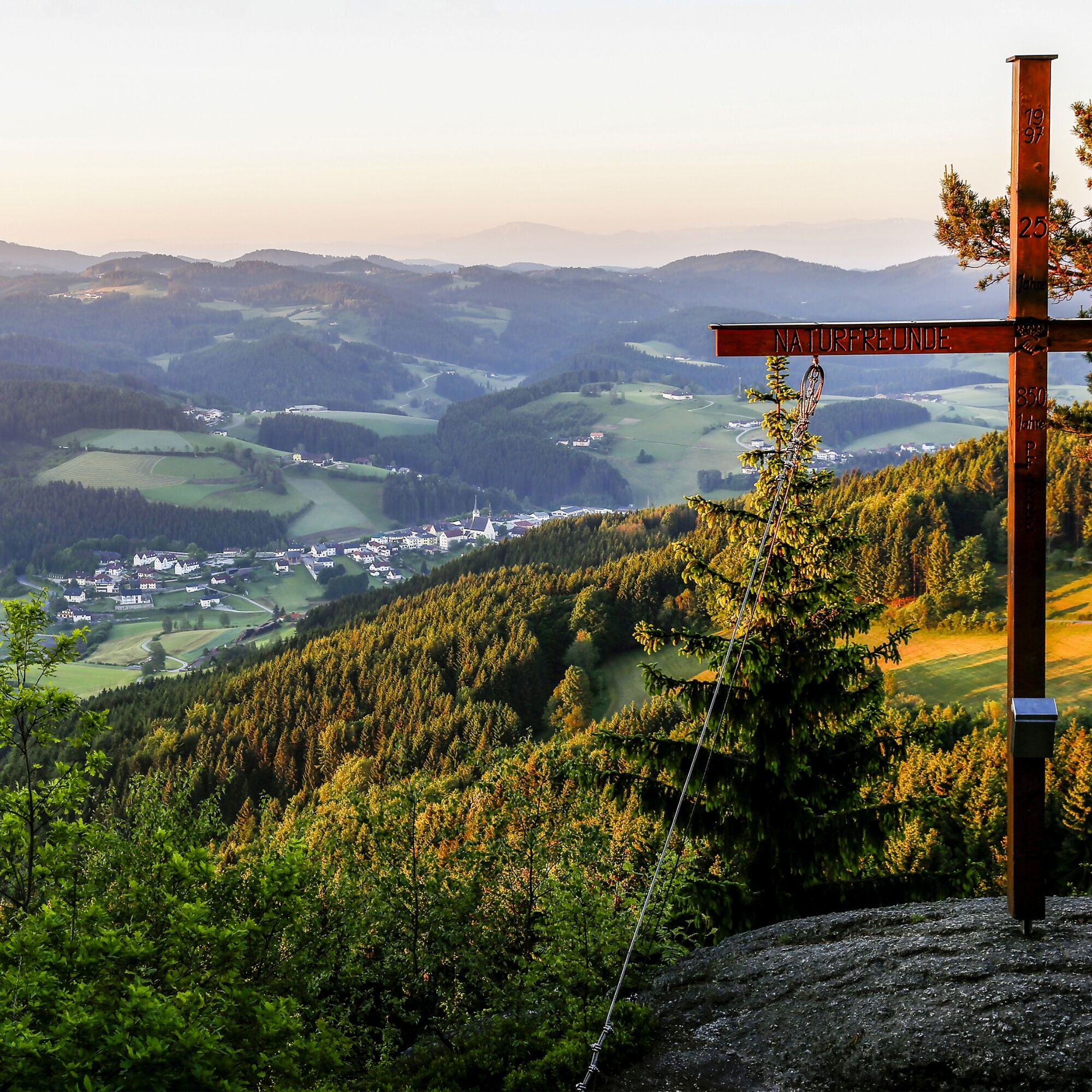
to the full. The cycle tour leads to unique vantage points such as the summit cross in Königswiesen, the ruins in Arbesbach...
Opis
The panorama of the Mühlviertler Alm Freistadt holiday region and the Waldviertel
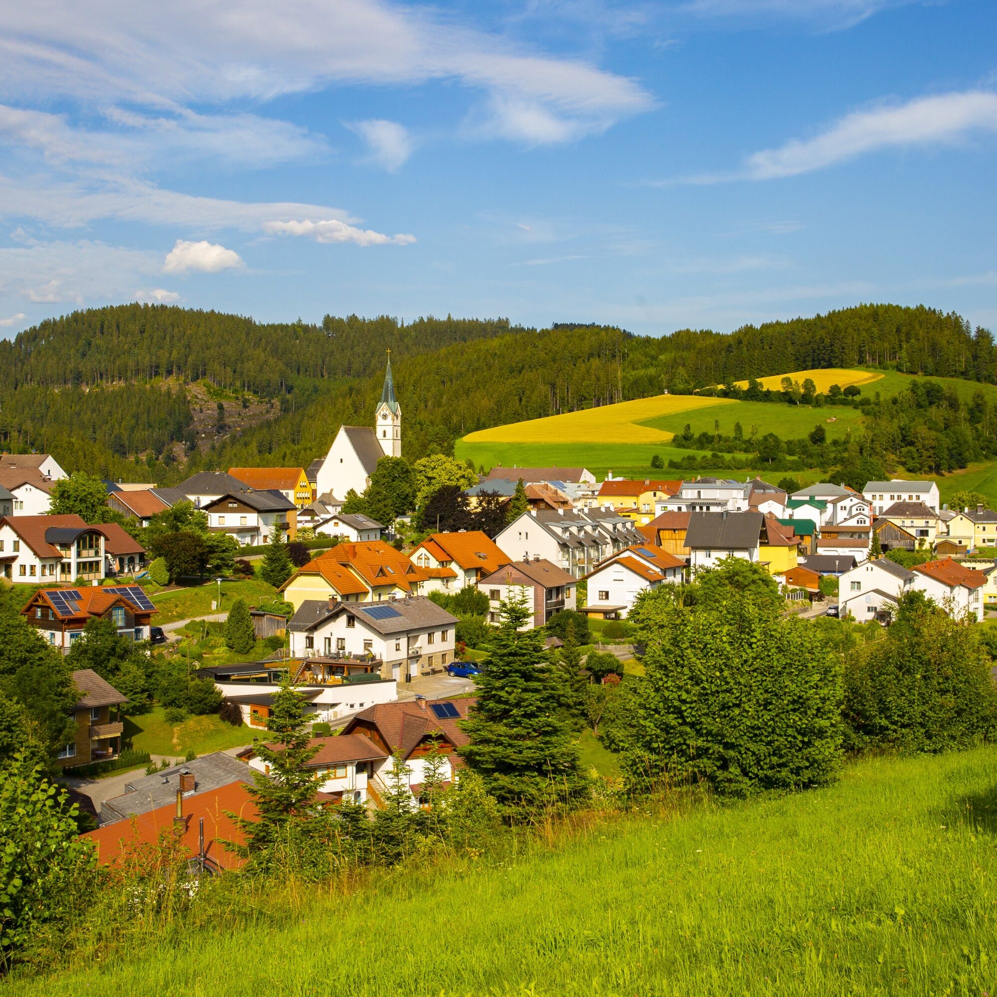
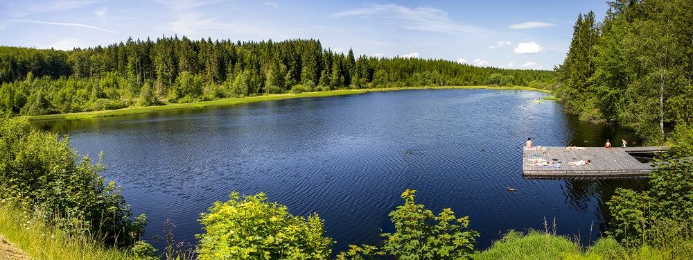
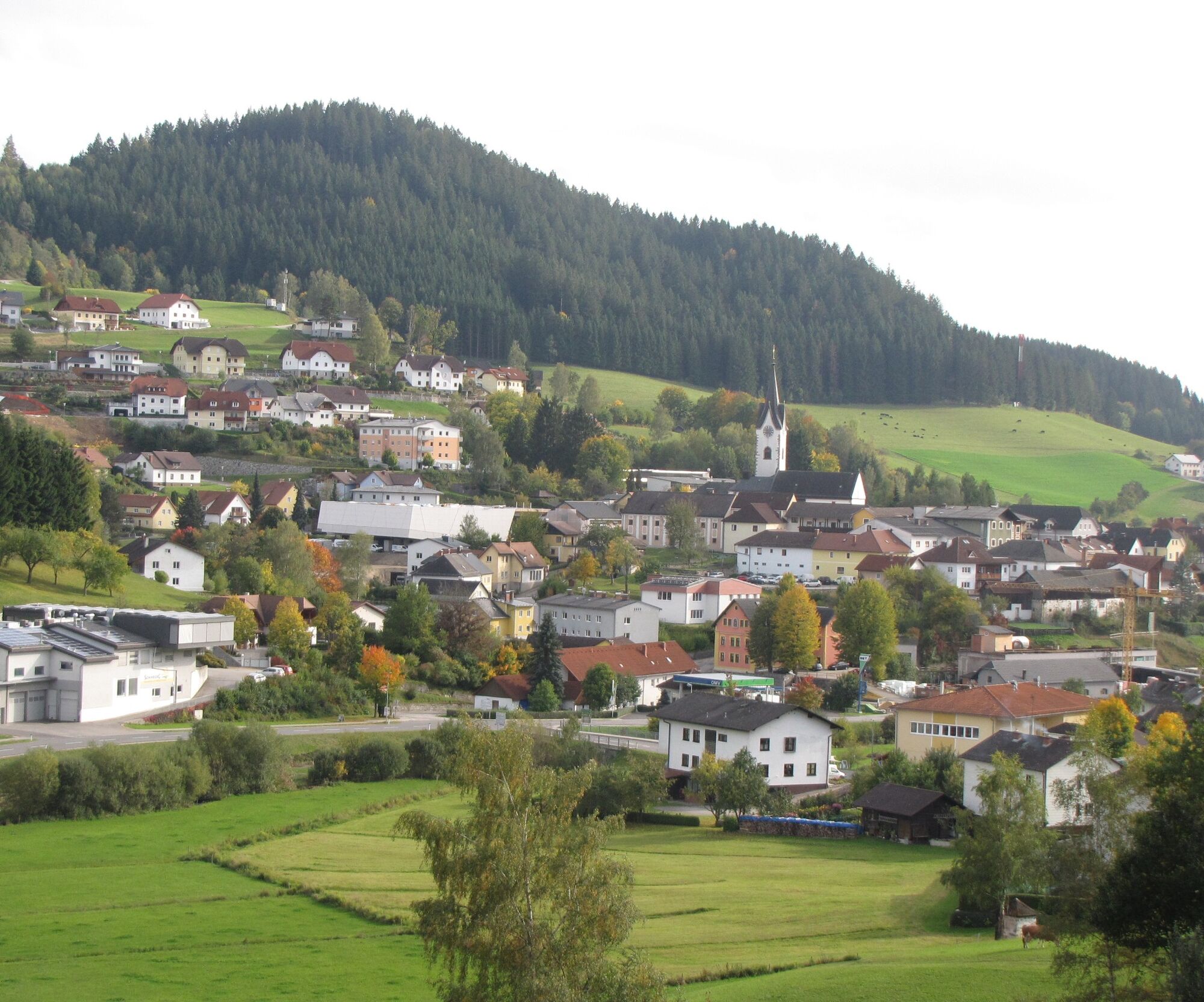
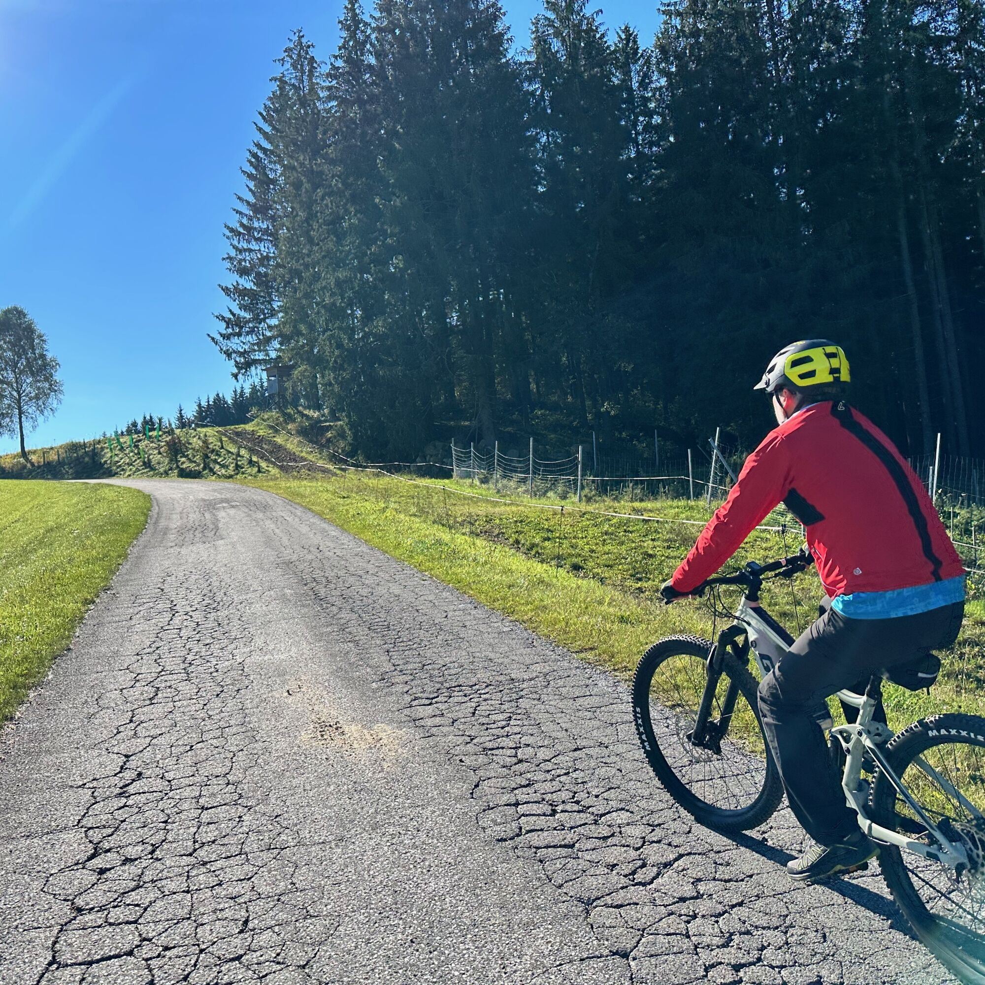
to the full. The cycle tour leads to unique vantage points such as the summit cross in Königswiesen, the ruins in Arbesbach and below the summit of the Kranzberg in St. Georgen/W.. This idyllic but challenging route is rewarded with marvellous views over the Waldviertel, the Ötscher, the Dachstein and the Bohemian Forest. Natural jewels such as the almost untouched Tannermoor and the Rubner Teich pond invite you to linger and recharge your batteries. The tour reflects the beauty of the Mühlviertel and Waldviertel in all its uniqueness and unspoilt beauty.
Panorama highlights on the tour
Königswiesen: Harlingsedt summit cross at 920 metres above sea level with magnificent views as far as the Bohemian Forest, Ötscher
Bohemian Forest, Ötscher, Dachstein and the Waldviertel. Altmelon: nature reserve
Meloner Au is one of the most beautiful raised bog areas in the Waldviertel. Arbesbach:
Arbesbach castle ruins with views as far as the Alps (key to the Clemens Huber bakery).
Neustift/Liebenau: Lehrmüller Wall and Tannermoor nature reserve with Rubner
pond, Brockenberg with viewing platform, Koblbergpass. Unterweißenbach: far-reaching views
of the Mühlviertel hills.
Beer tipMAXBier, Arbesbach
Route
Start in Königswiesen (public car park in the town centre) - head towards the B124 (on the R5 cycle path) then turn left onto Zwettler Straße towards Haid - after approx. 1 km turn right onto Herzogweg towards Altmelon (Lower Austria) via Paroxedt or Stiftinger Wald - after approx. 8 km (no asphalt) you reach Lower Austria - here you cycle through the Dietrichsbach region with the Melonauer Au nature reserve for approx. 6 km to Altmelon - in Altmelon turn left onto the B119 and after approx. 1 km turn right towards Perwolfs and Neumelon - after approx. 2 km turn left towards Neumelon and pass below the Kreuzberg - after approx. 3 km you come to Stolzenthal, where you turn left onto the B124 (MAXBier brewery - approx. 70 m from the road) - past the Arbesbach castle ruins (there is also a swimming pond in Arbesbach) and into the village of Arbesbach - after approx. 1.5 km, turn right onto the L7317 onto cycle path R5 and continue towards Neustift on a dirt track (note: if you prefer to cycle on tarmac, you can continue on cycle path no. 944/R5 at Neustift until you reach Rubner Teich, a diversion of approx. 2 km) - after approx. 5 km, turn left onto cycle path 944 and after approx. 1 km, turn right towards the Tanner Moor nature reserve and continue to Rubner Teich - after approx. 3 km, turn left onto cycle path R5 - after approx. 6 km you come to the L1442 - here you cycle straight ahead on the Unterweißenbacher Bezirksstraße until you come to the B124 to Haid approx. 3 km - there you turn right towards Haid, in the village you will find the well-known "Wirt auf da Hoad", the route continues towards Stone Hill Range or towards Enebitschlag, after approx. 4 km you come back on the cycle path R5 and turn off towards Königswiesen - you pass below the Harlingsedt summit cross on the cycle path 943 and after approx. 7 km you reach Königswiesen again.
Trasa
Pfarrkirche Königswiesen
(610 m)
Miesto uctievania
0,1 km
Pfarrkirche hl. Jakobus der Ältere
(881 m)
Miesto uctievania
14,8 km
St. Aegidius
(849 m)
Miesto uctievania
22,2 km
Arbesbach
(849 m)
Dedina
22,3 km
Neustift
(917 m)
Dedina
27,4 km
Hölzl Schneider Kapelle
(823 m)
Miesto uctievania
46,1 km
Harlingsedt
(861 m)
Dedina
50,3 km
Trasa
Panorama North" beer bike tour
ťažké
Cyklistika
53,42
km
Pfarrkirche Königswiesen
(610 m)
Miesto uctievania
0,1 km
Königswiesen
(610 m)
Dedina
0,1 km
Dietrichsbach
(874 m)
Dedina
10,9 km
Altmelon
(882 m)
Dedina
14,6 km
Pfarrkirche hl. Jakobus der Ältere
(881 m)
Miesto uctievania
14,8 km
Perwolfs
(840 m)
Zúčtovanie
16,2 km
Renngasse
(767 m)
Koridor/terén
17,5 km
Neumelon
(820 m)
Koridor/terén
19,1 km
Schalensteinabri
(884 m)
Vchod do jaskyne
21,9 km
Gimpellucke
(877 m)
Vchod do jaskyne
22,0 km
St. Aegidius
(849 m)
Miesto uctievania
22,2 km
Arbesbach
(849 m)
Dedina
22,3 km
Gschwandten
(814 m)
Koridor/terén
23,5 km
Komau
(854 m)
Zúčtovanie
25,8 km
Neustift
(917 m)
Dedina
27,4 km
Gasthaus Pfeiffer
(913 m)
Reštaurácia
27,4 km
Ruben
(860 m)
Koridor/terén
32,5 km
Wirt auf da Hoad
(797 m)
Reštaurácia
42,4 km
Haid
(797 m)
Dedina
42,5 km
Hölzl Schneider Kapelle
(823 m)
Miesto uctievania
46,1 km
Enebitschlag
(825 m)
Koridor/terén
46,2 km
Harlingsedt
(861 m)
Dedina
50,3 km
Königswiesen
(610 m)
Dedina
53,4 km
Autor
Poskytuje Destination Mühlviertel
Prehliadku Panorama North" beer bike tour zabezpečuje outdooractive.com.



Oceňovanie

Webové kamery z prehliadky

Všetky webové kamery na mape
Nainštaluj si aplikáciu zadarmo a porovnaj živé zábery z viacerých miest, než vyrazíš.
Využite službu „ bergfex “ už teraz v aplikácii
Naskenuj QR kód pomocou fotoaparátu
Ak máte aplikáciu nainštalovanú, obsah sa otvorí priamo. Ak aplikáciu ešte nemáte, budete presmerovaní na stránku, kde si ju môžete bezplatne stiahnuť.
Obľúbené výlety v okolí
-
4,4
Wandern im Liebenauer Moor
svetloTuristika 4,16 km -
4,0
Burgstall-Wanderweg Nr. 3
strednáTuristika 11,8 km -
4,0
Ruine Ruttenstein
svetloTuristika 12 km -
4,0
Schönaubach-Klamm Nr. 84
svetloTuristika 7 km -
4,7
Höllfall und Lohnbachfall
Turistika 13,8 km -
4,8
Natur-Geheimnis-Pfad Nr. 5
svetloTuristika 4,04 km -
4,3
Koglerbergrunde - Mönchdorf Oberösterreich
strednáTuristika 12,1 km -
4,3
Johannesweg 1. Etappe
svetloTuristika 13,2 km -
5,0
Mühlbachweg Nr. 2
svetloTuristika 12,5 km -
3,4
Johannesweg
strednáPútnická trasa 82 km
Turistika a stopovanie

Viac ako 550.000 návrhov výletov, podrobné mapy a intuitívny plánovač trás robia z aplikácie povinnú výbavu pre všetkých nadšencov prírody.

Nenechajte si ujsť ponuky a inšpiráciu na ďalšiu dovolenku
Prihlásiť sa k odberu noviniek
Chyba
Vyskytla sa chyba. Prosím, skúste to znova.
Ďakujeme za vašu registráciu
Vaša e-mailová adresa bol pridaný do poštového zoznamu.
Zájazdy po celej Európe
Rakúsko
Švajčiarsko
Nemecko
Taliansko
Slovinsko
Francúzsko
Holandsko
Belgicko
Poľsko
Lichtenštajnsko
Česko
Slovensko
španielsko
Hrvaška
Bosna a Hercegovina
Luxembursko
Andorra
Portugalsko
Island
Spojené kráľovstvo
Írsko
Grécko
Albánsko
Severné Macedónsko
Malta
Nórsko
Čierna Hora
Moldavsko
Kosovo
Maďarsko
San Maríno
Rumunsko
Estónsko
Lotyšsko
Bielorusko
Cyprus
Litva
Srbsko
Bulharsko
Monako
Dánsko
Švédsko
Fínsko


