






L4 Pfannstein-Trail
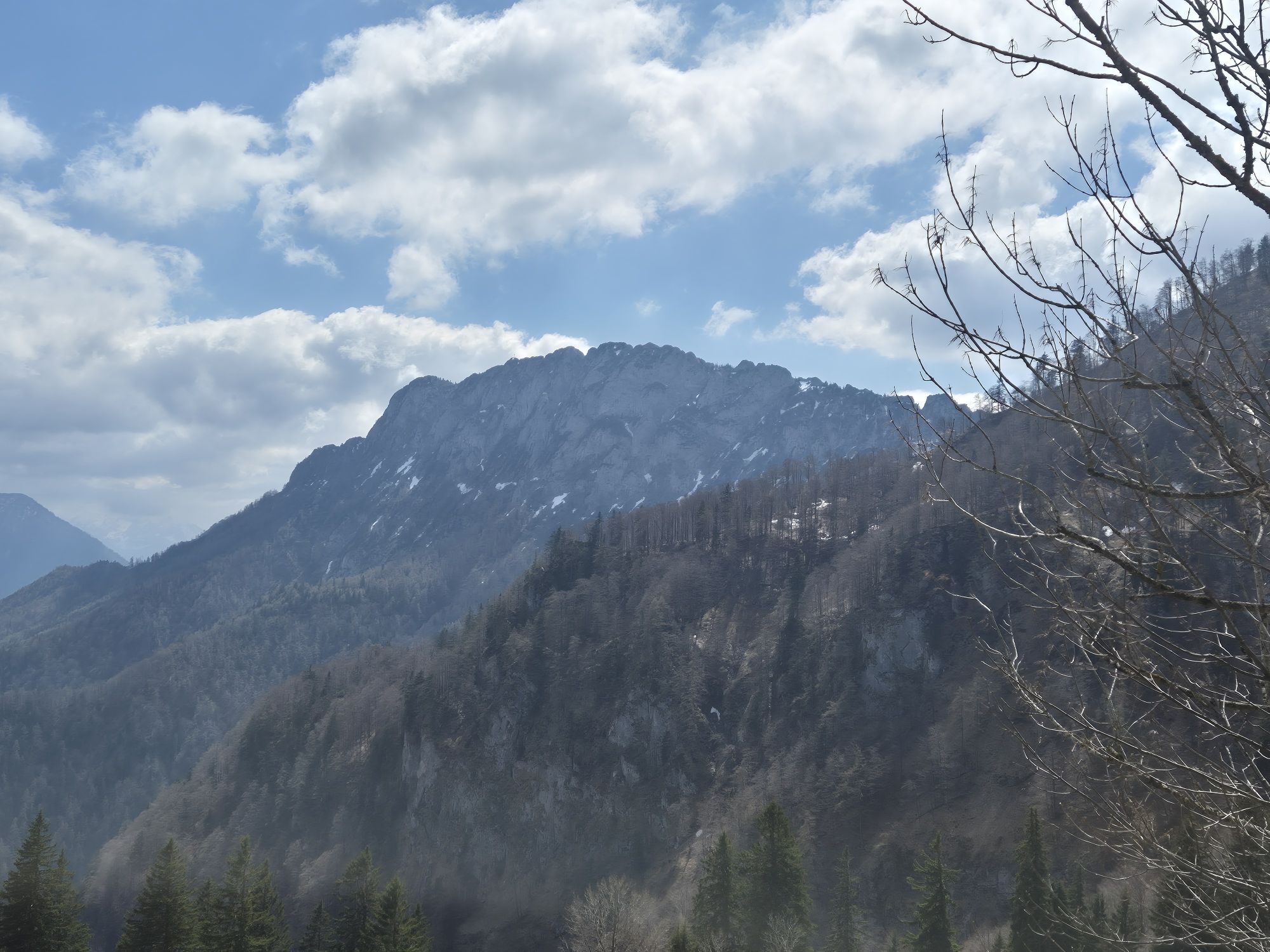
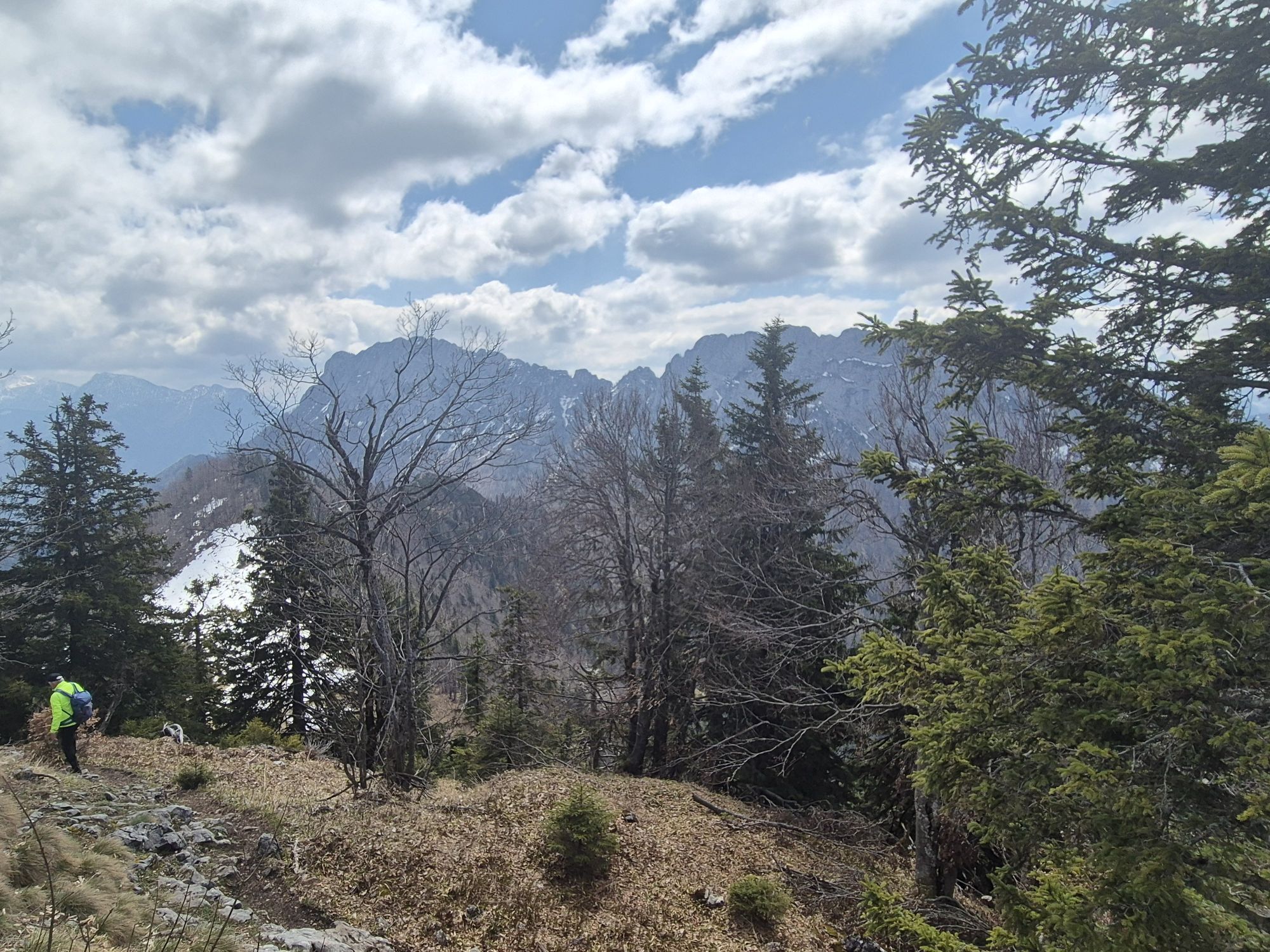
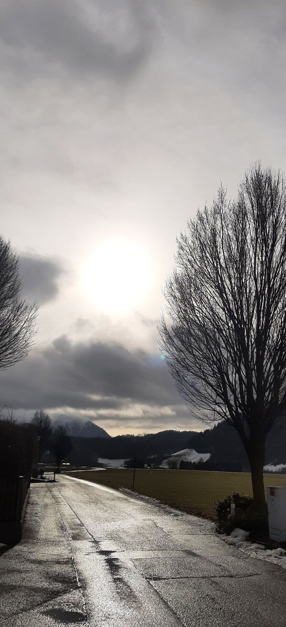

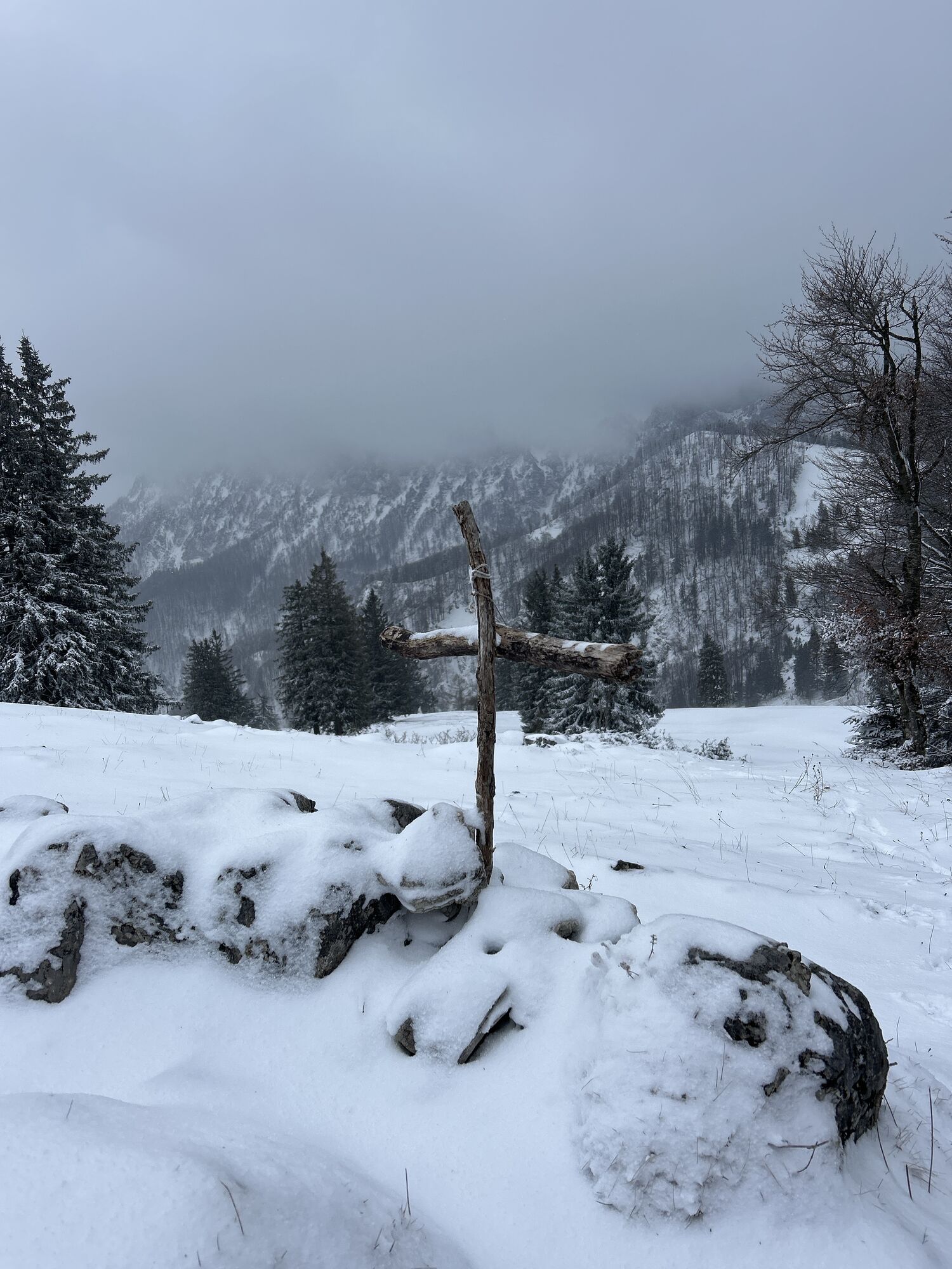
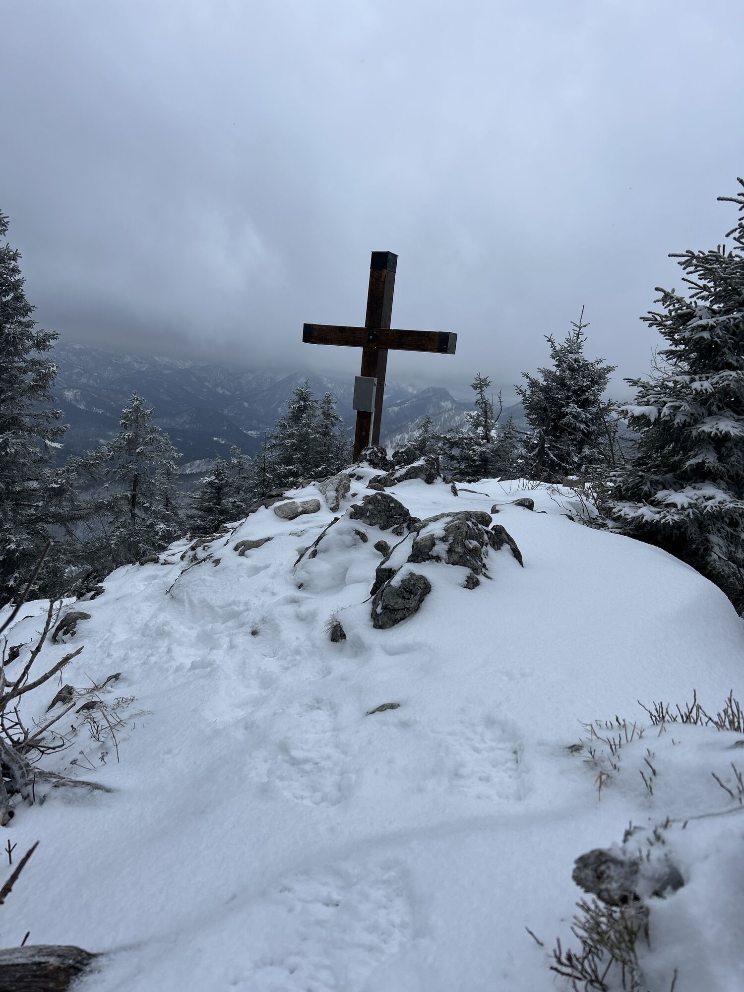
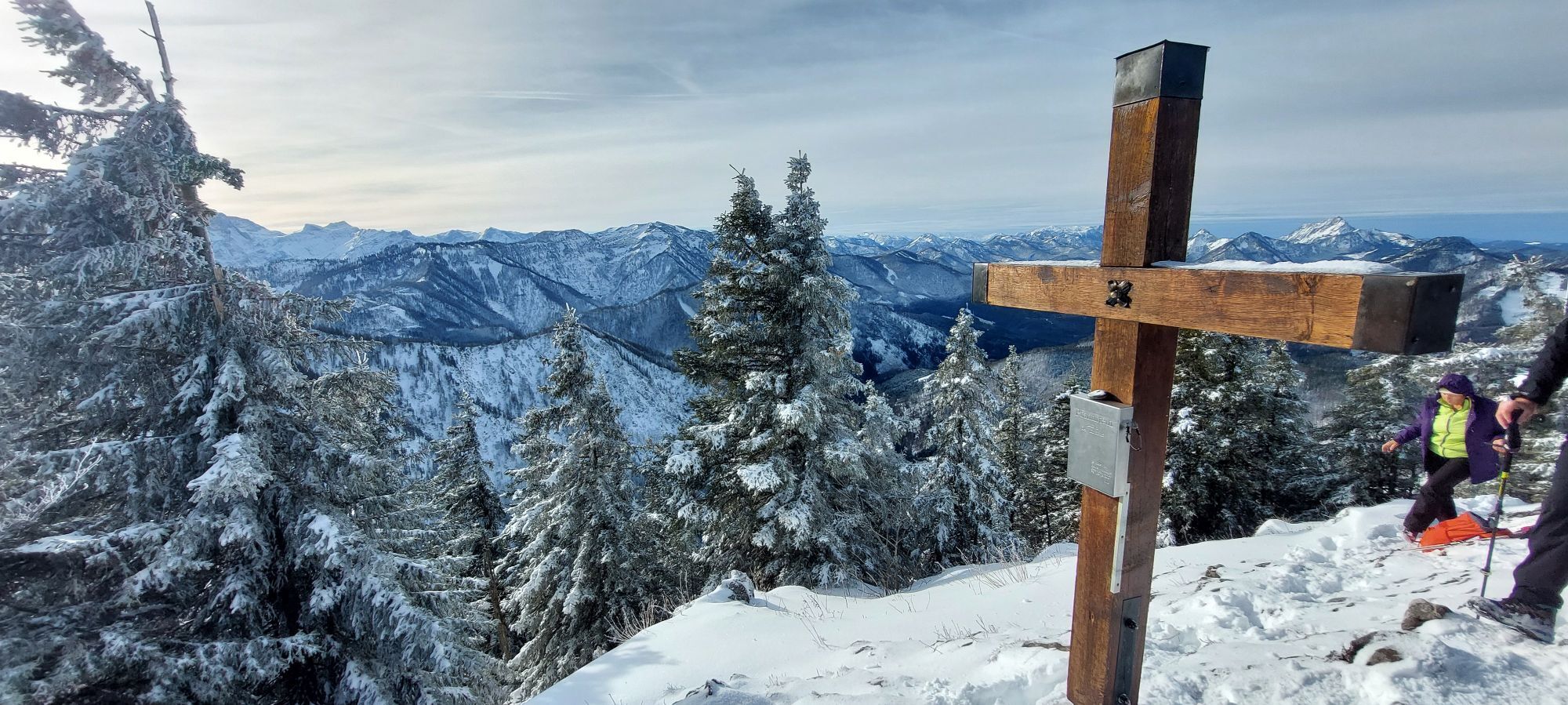
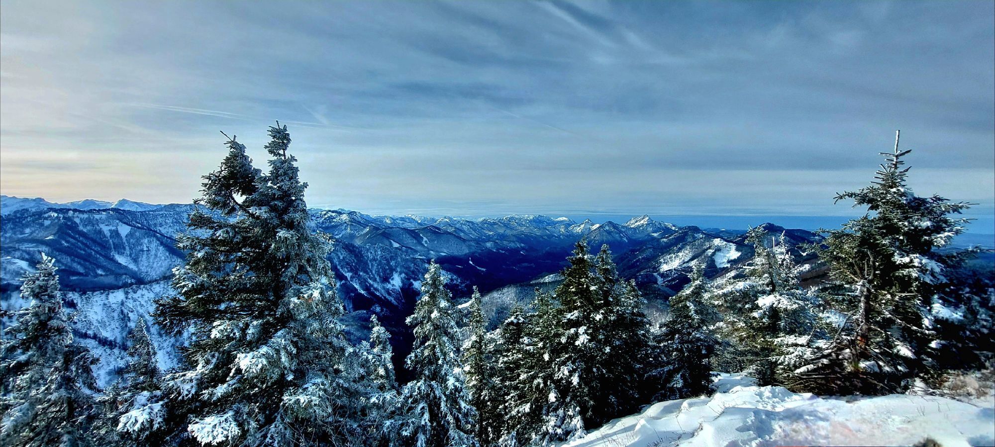
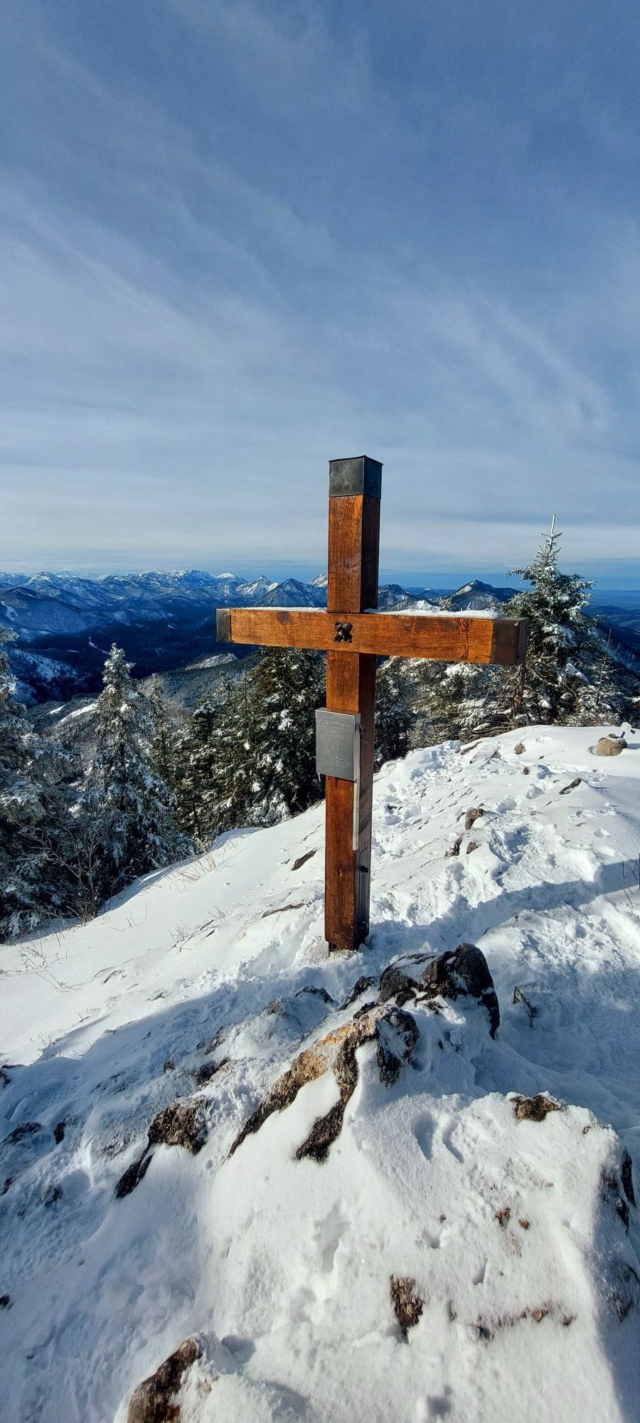
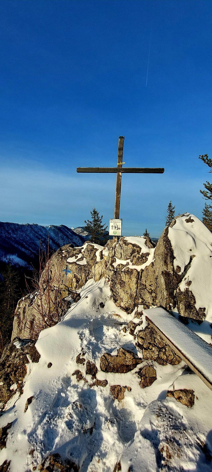
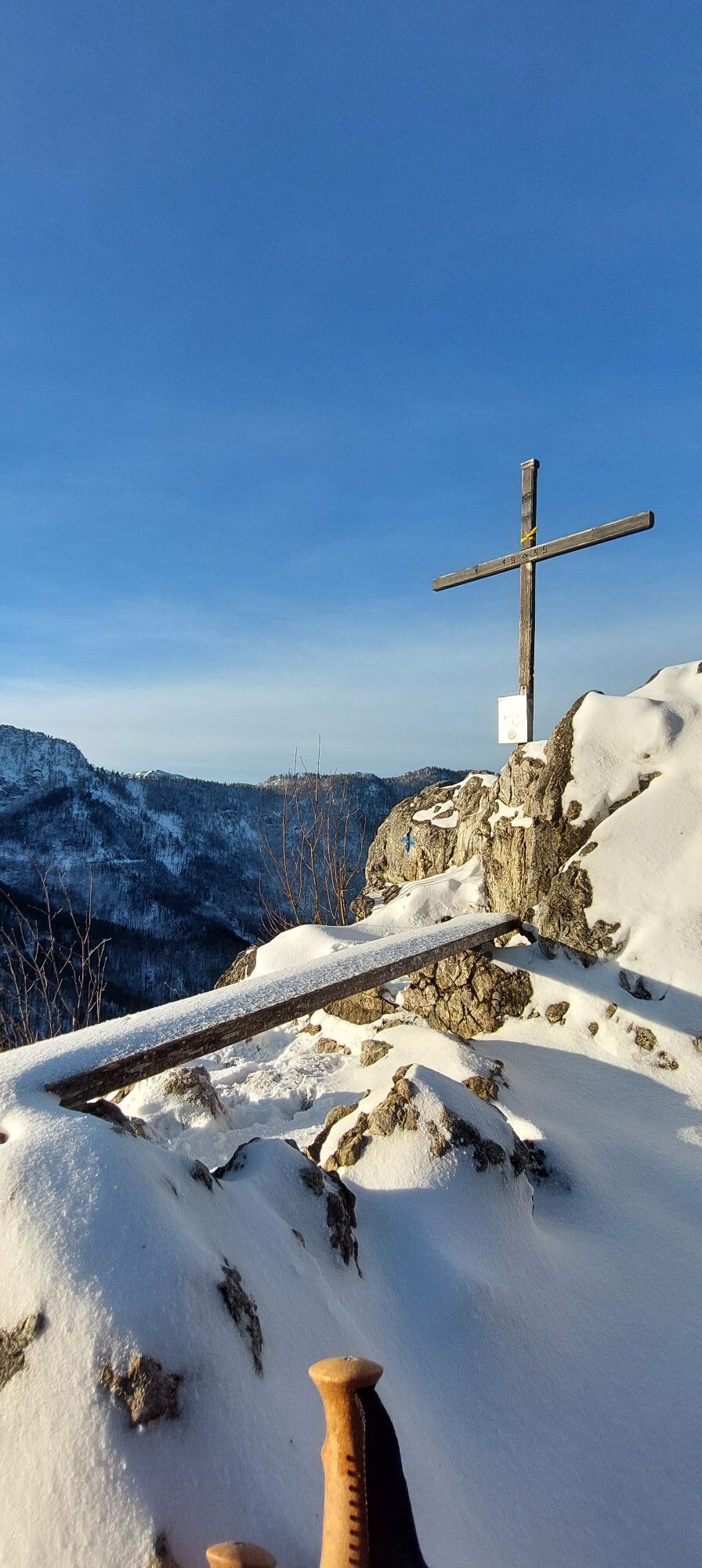
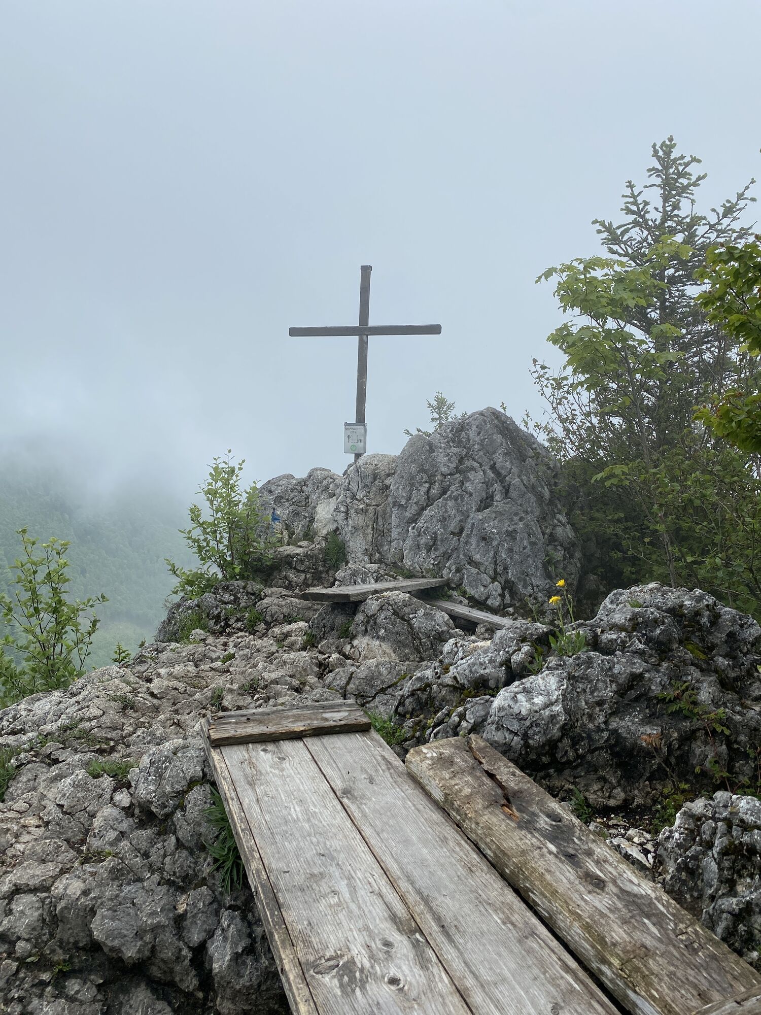
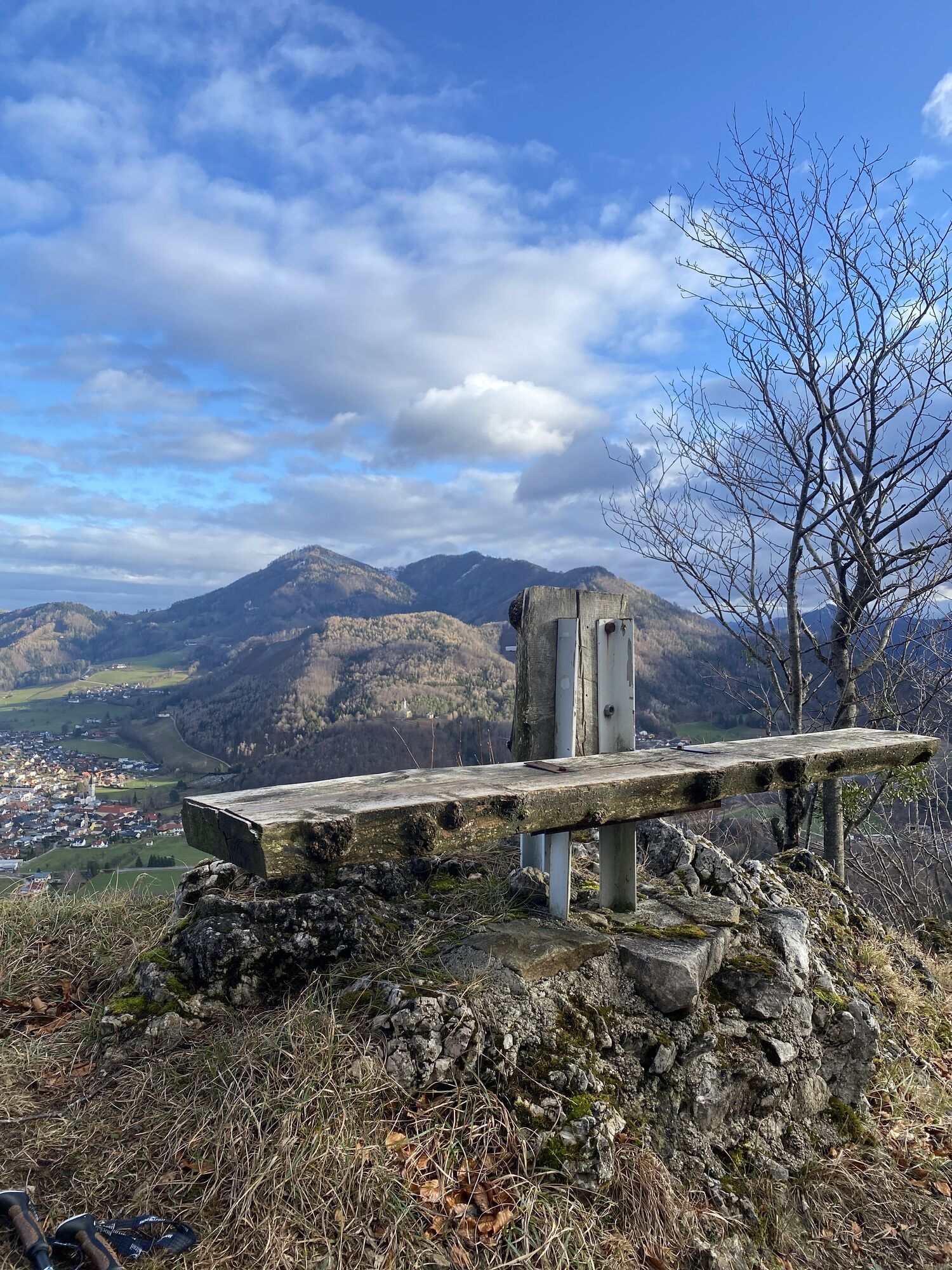
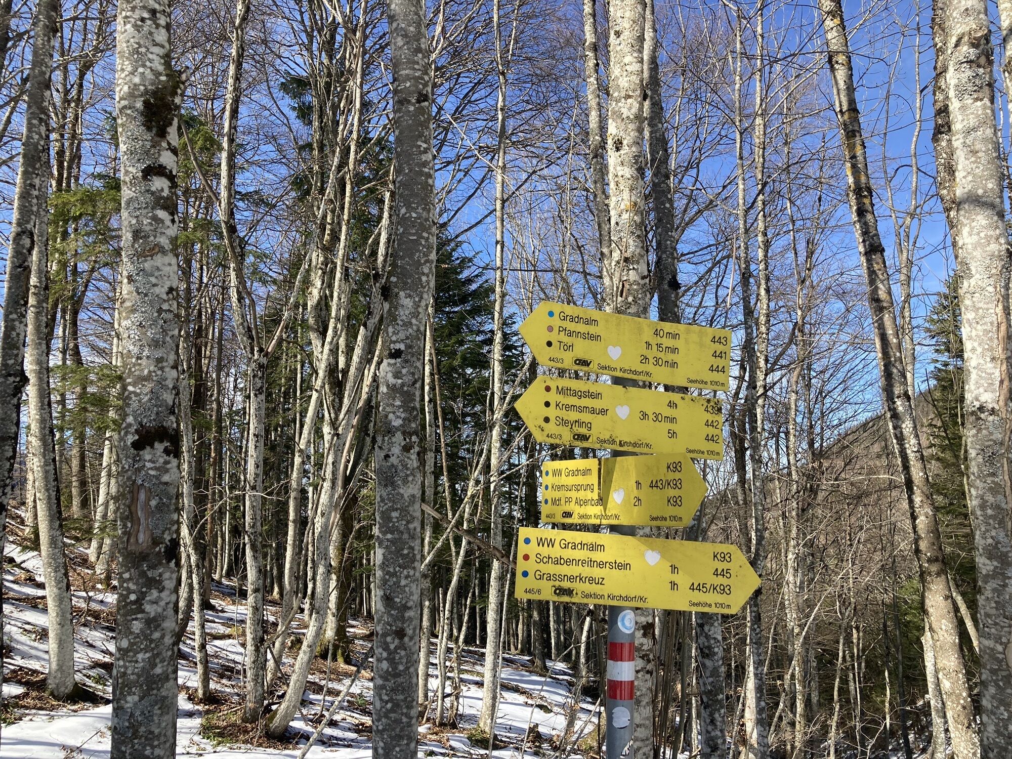
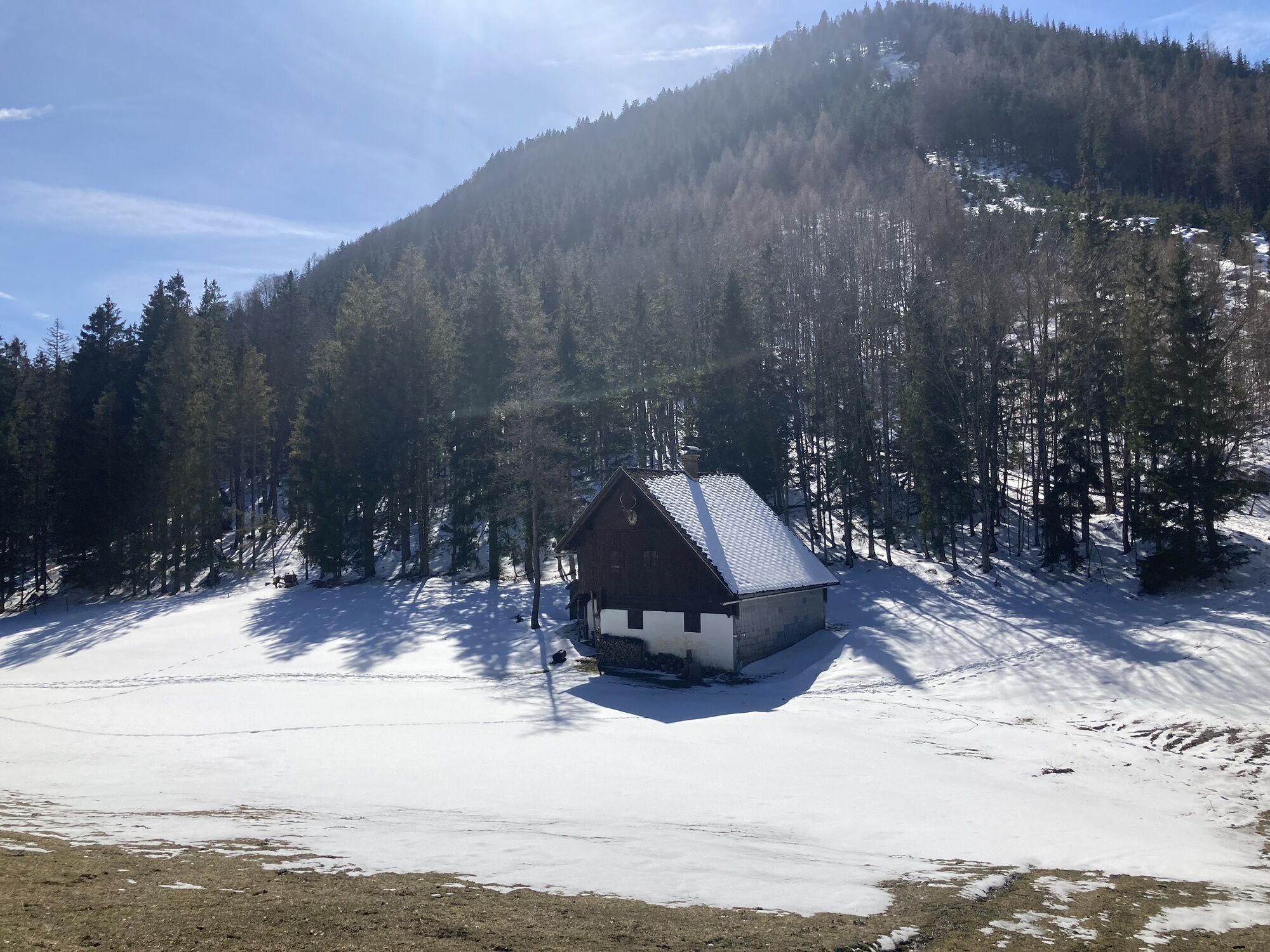
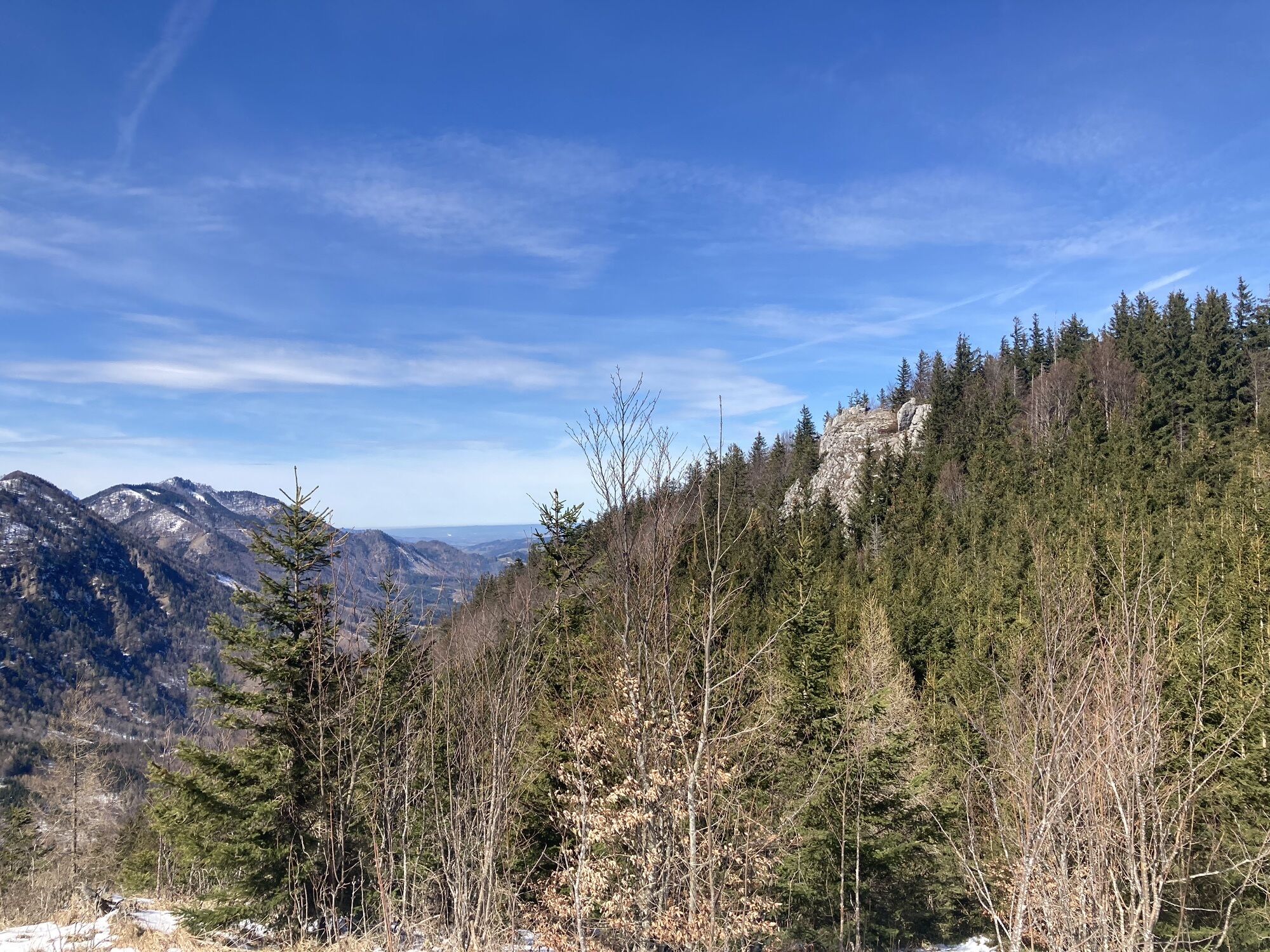
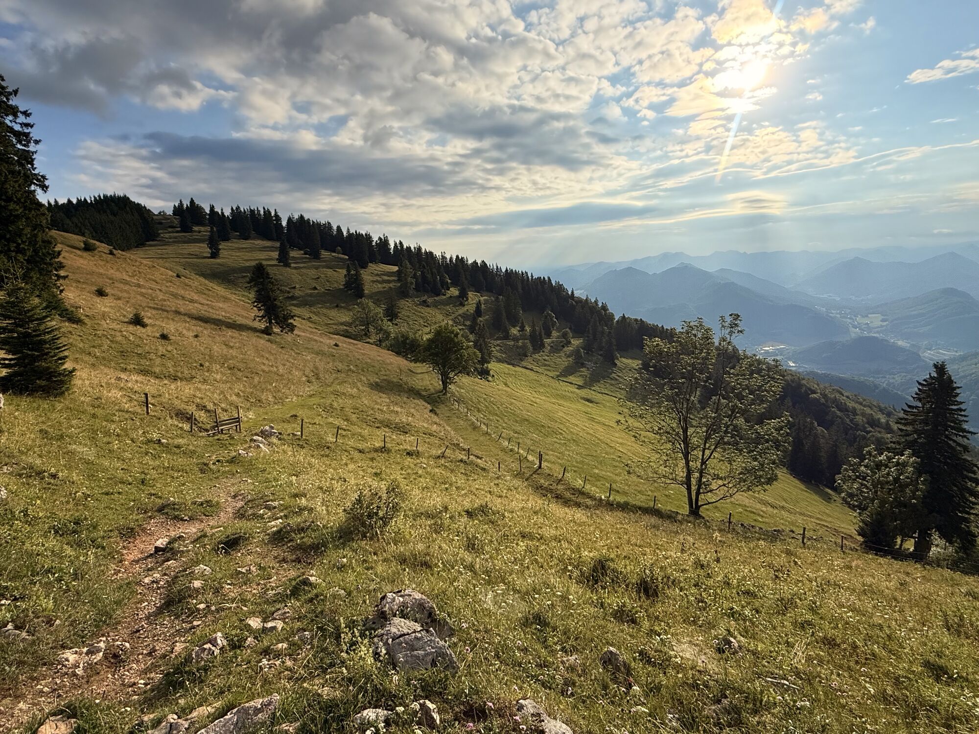
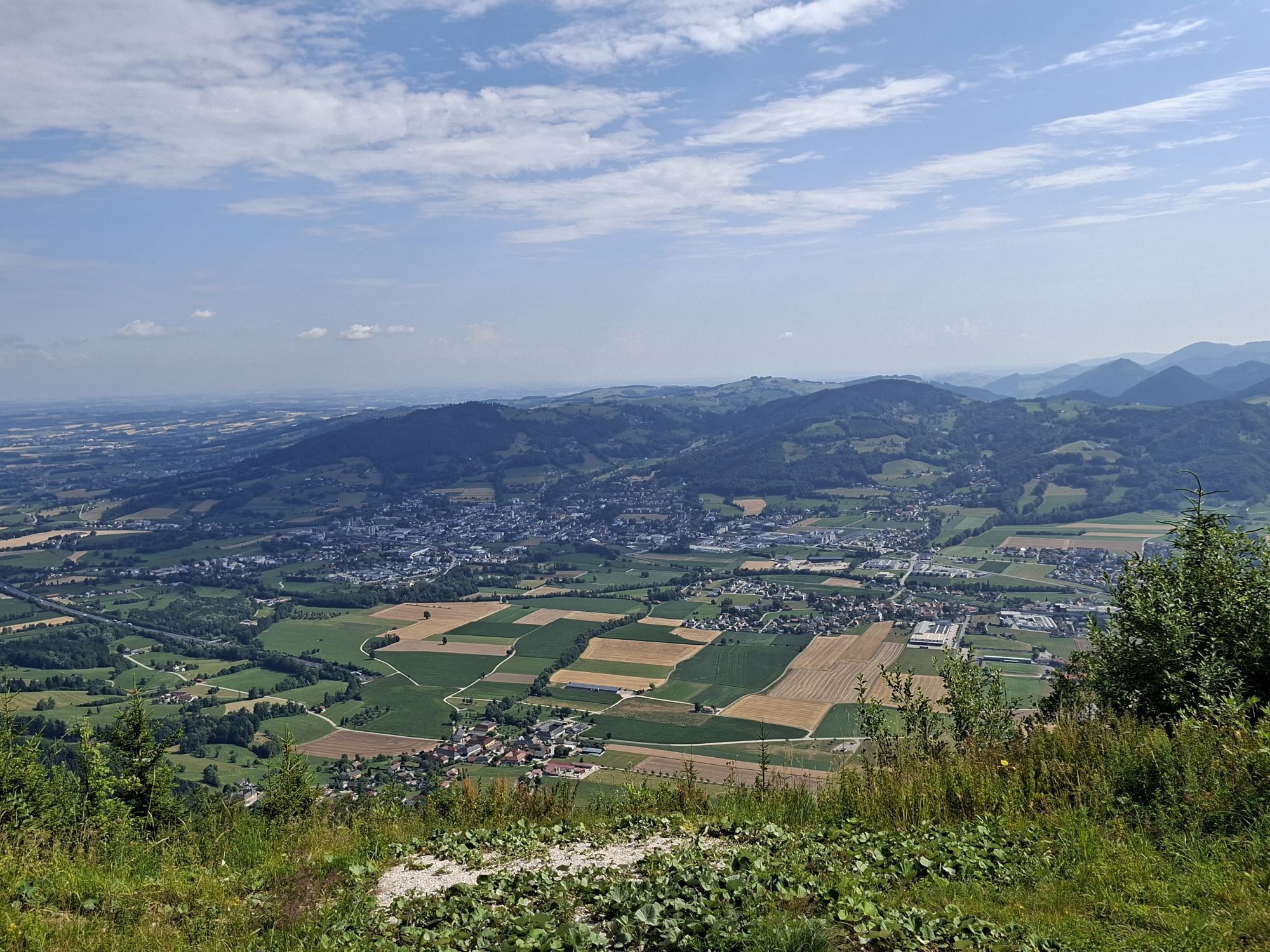
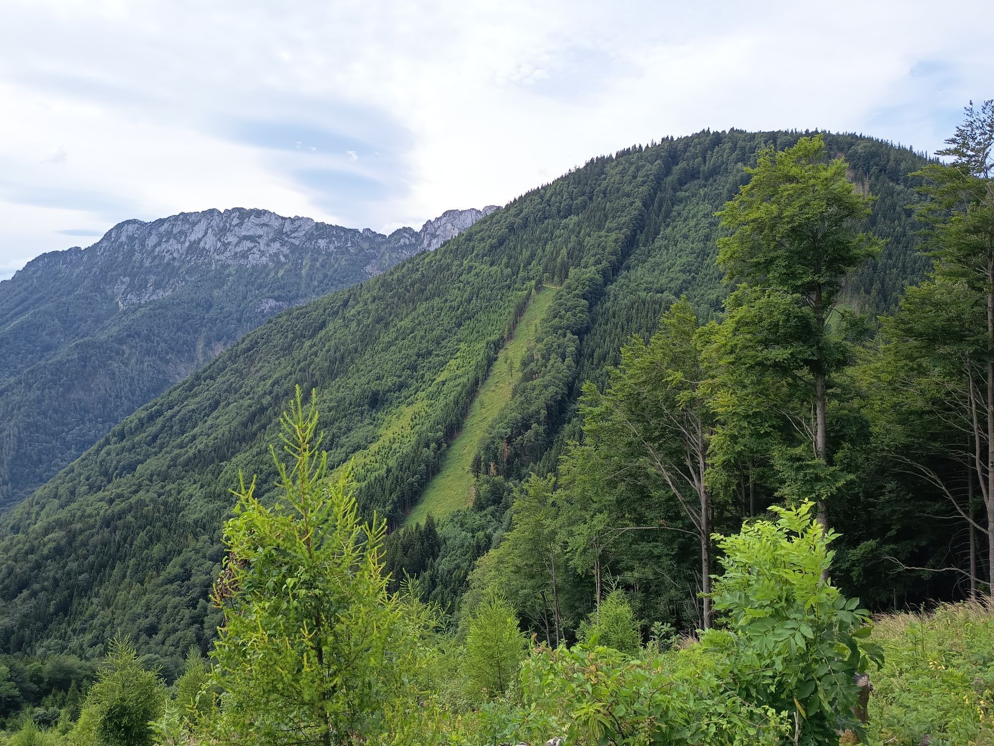
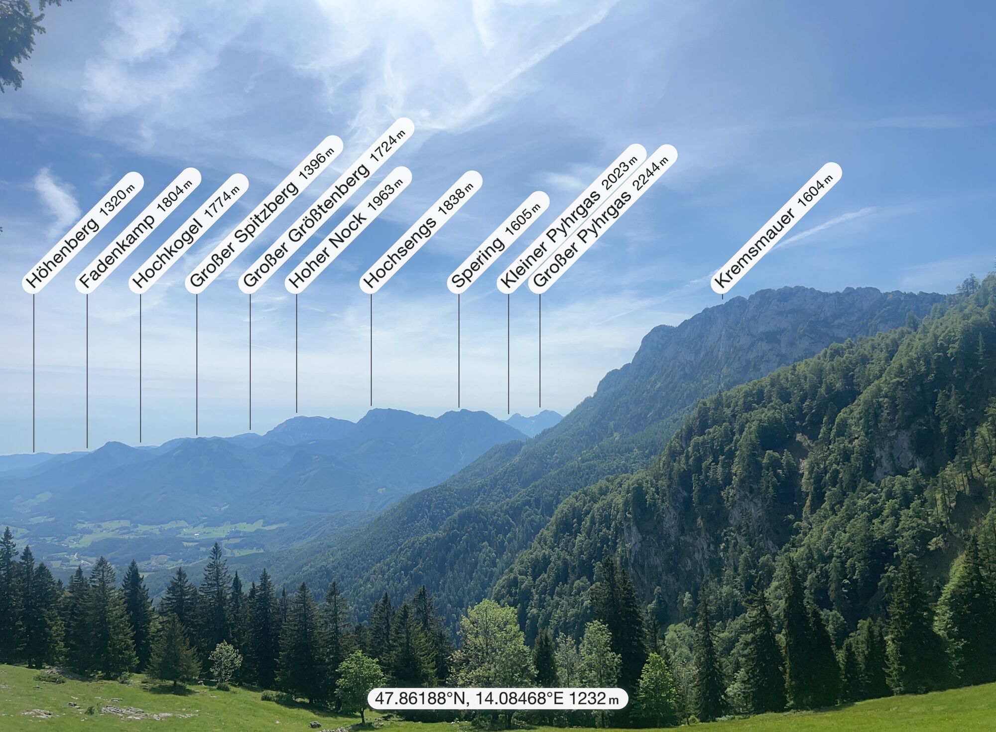
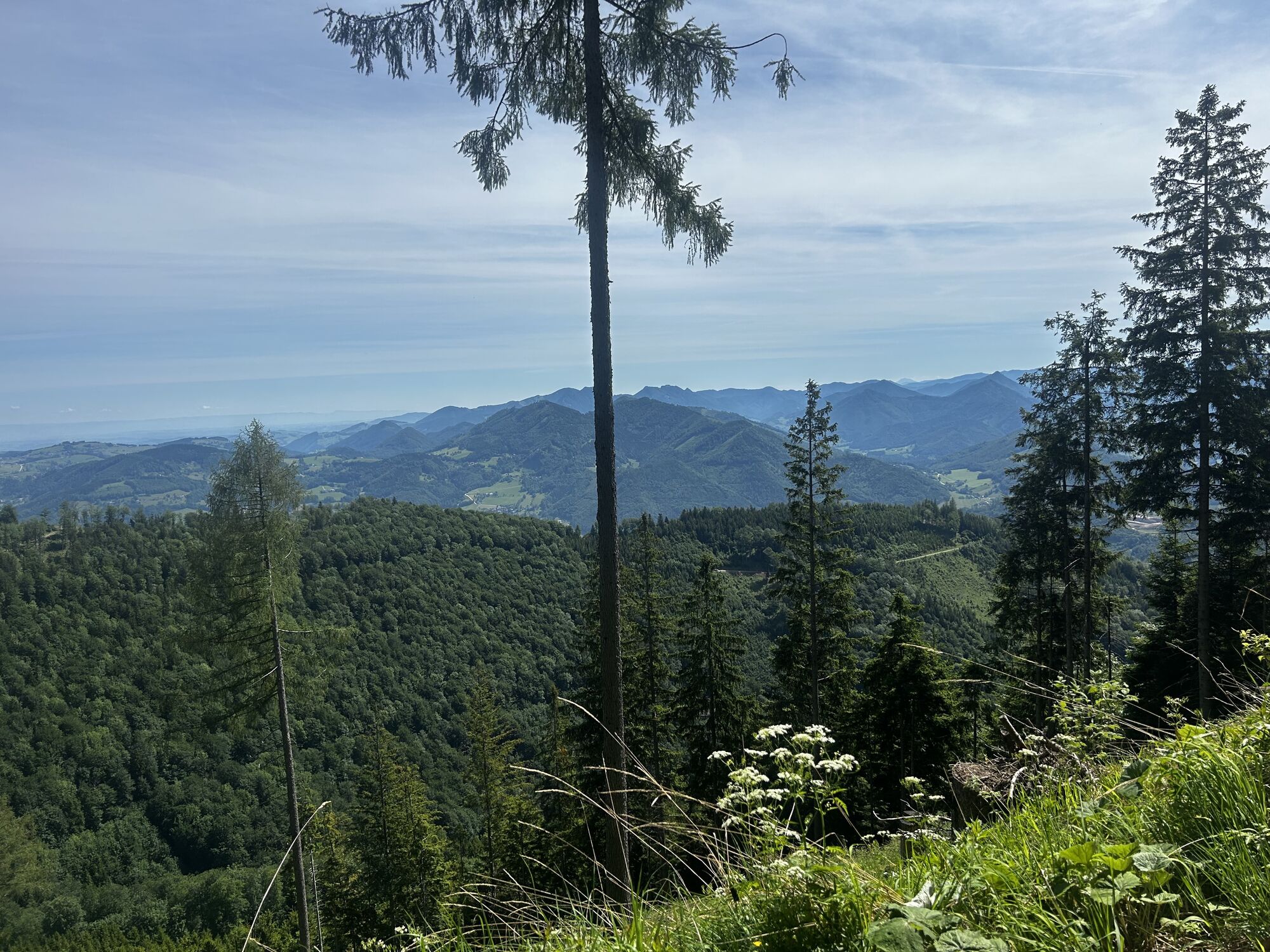
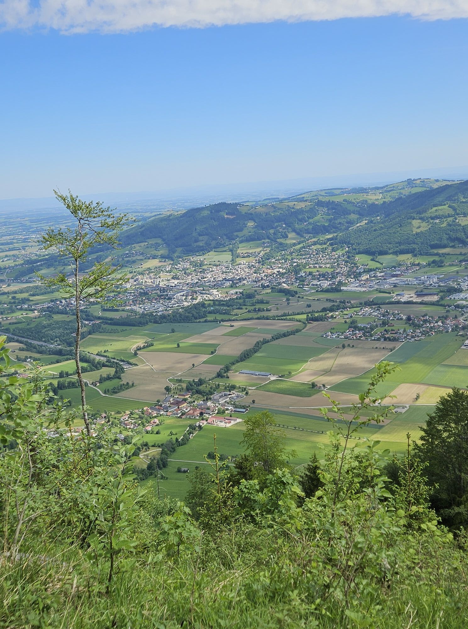
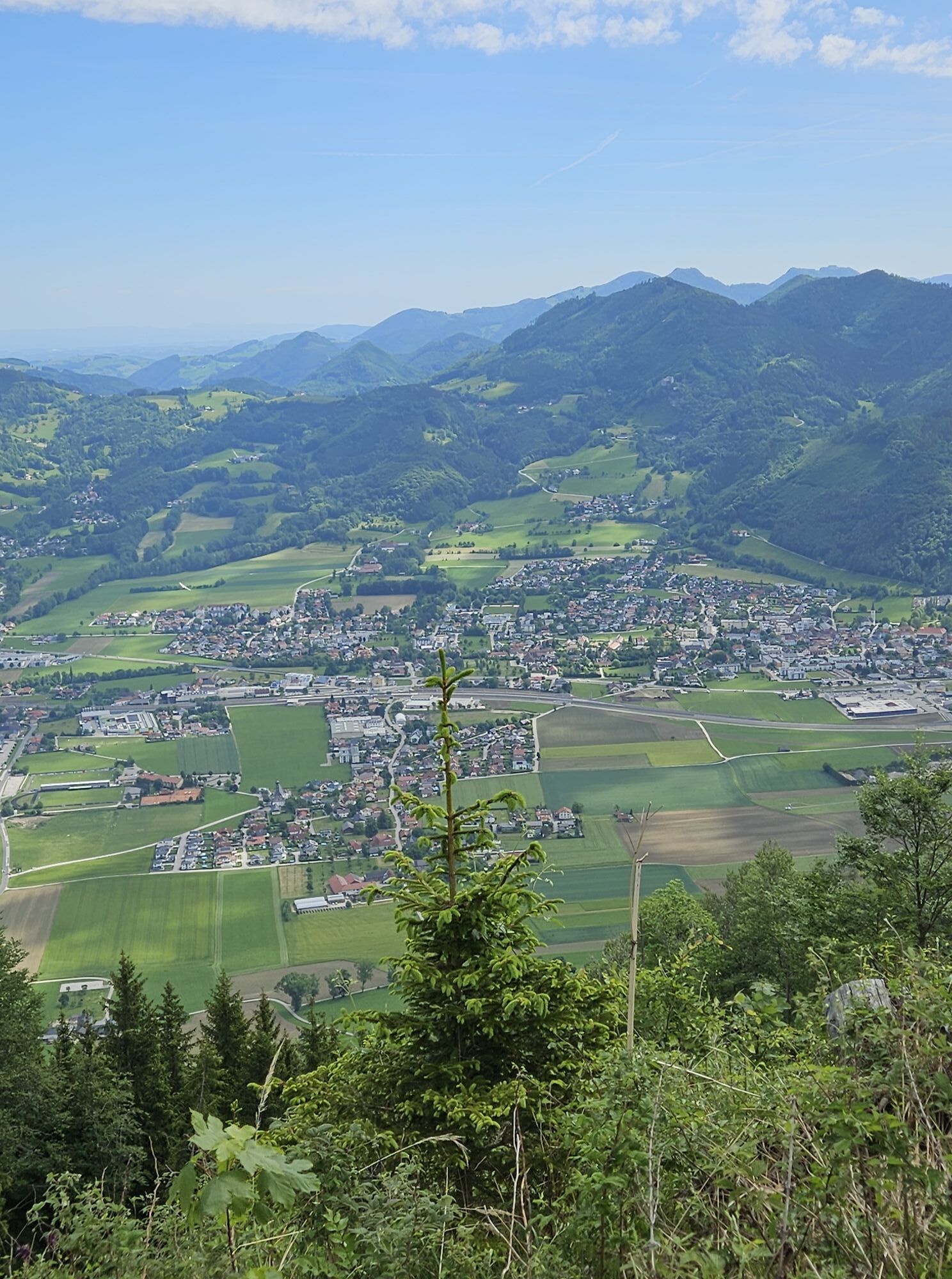
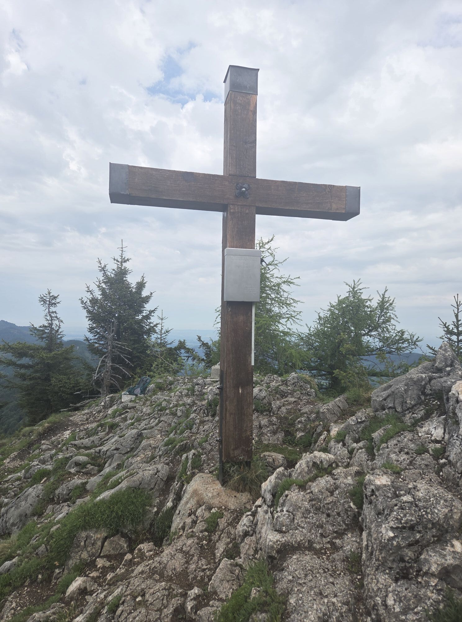
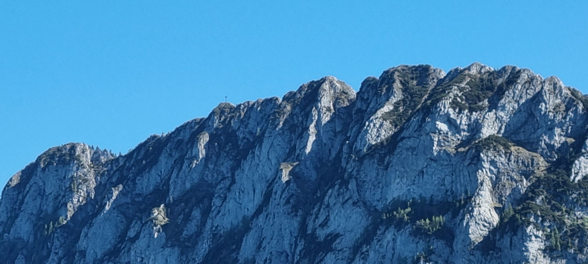
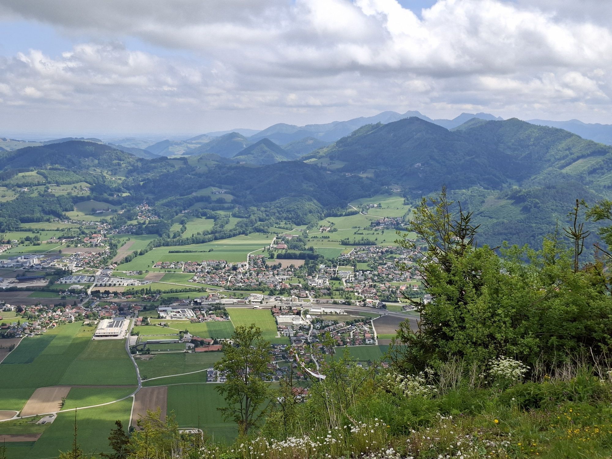
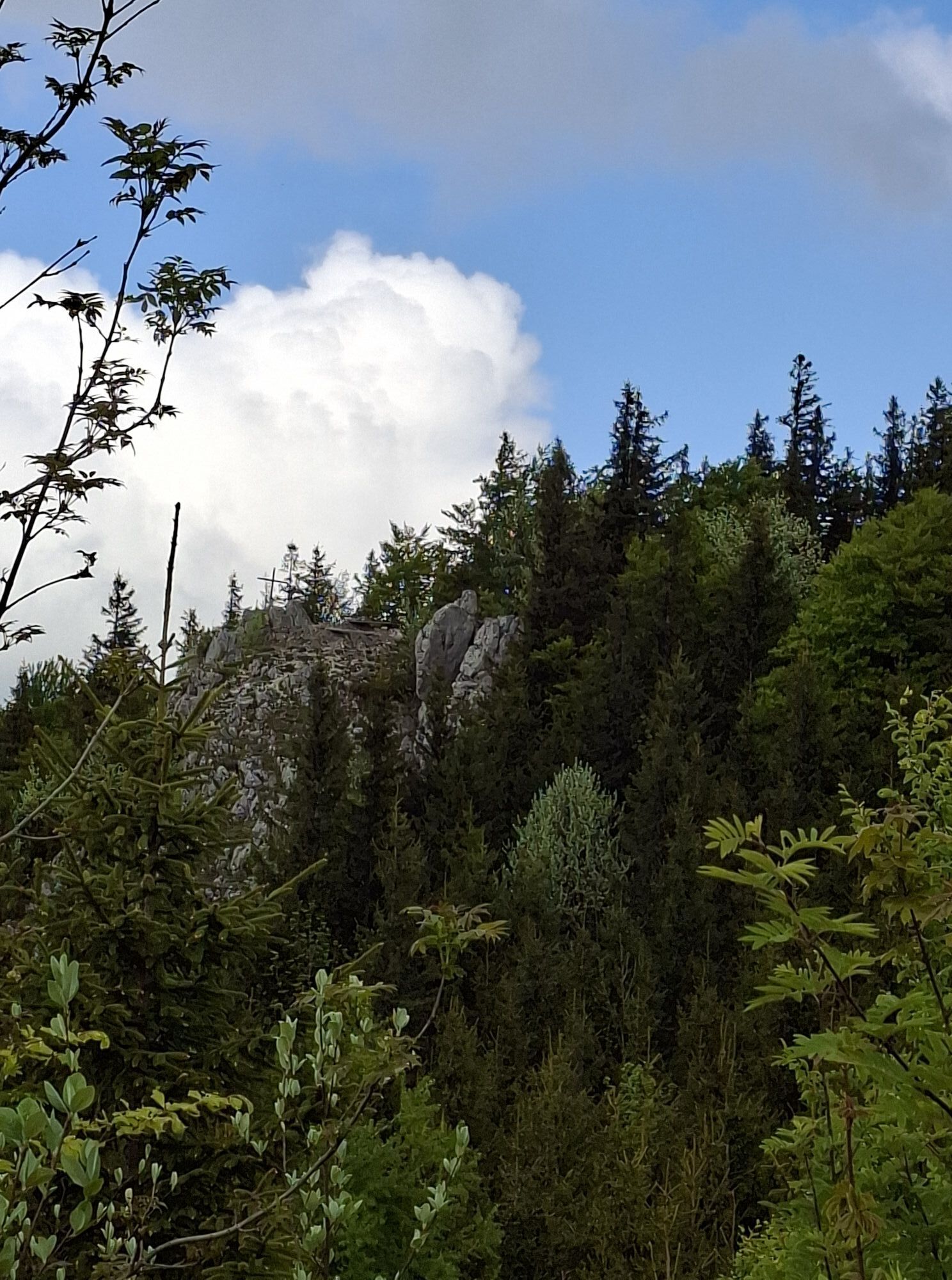
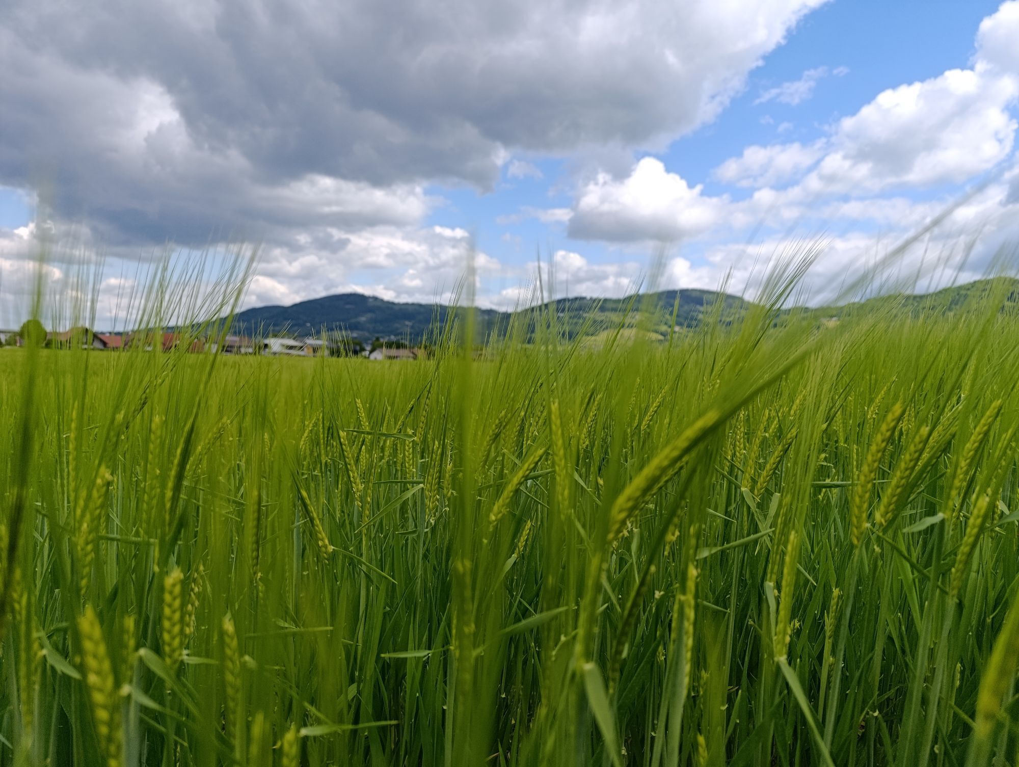
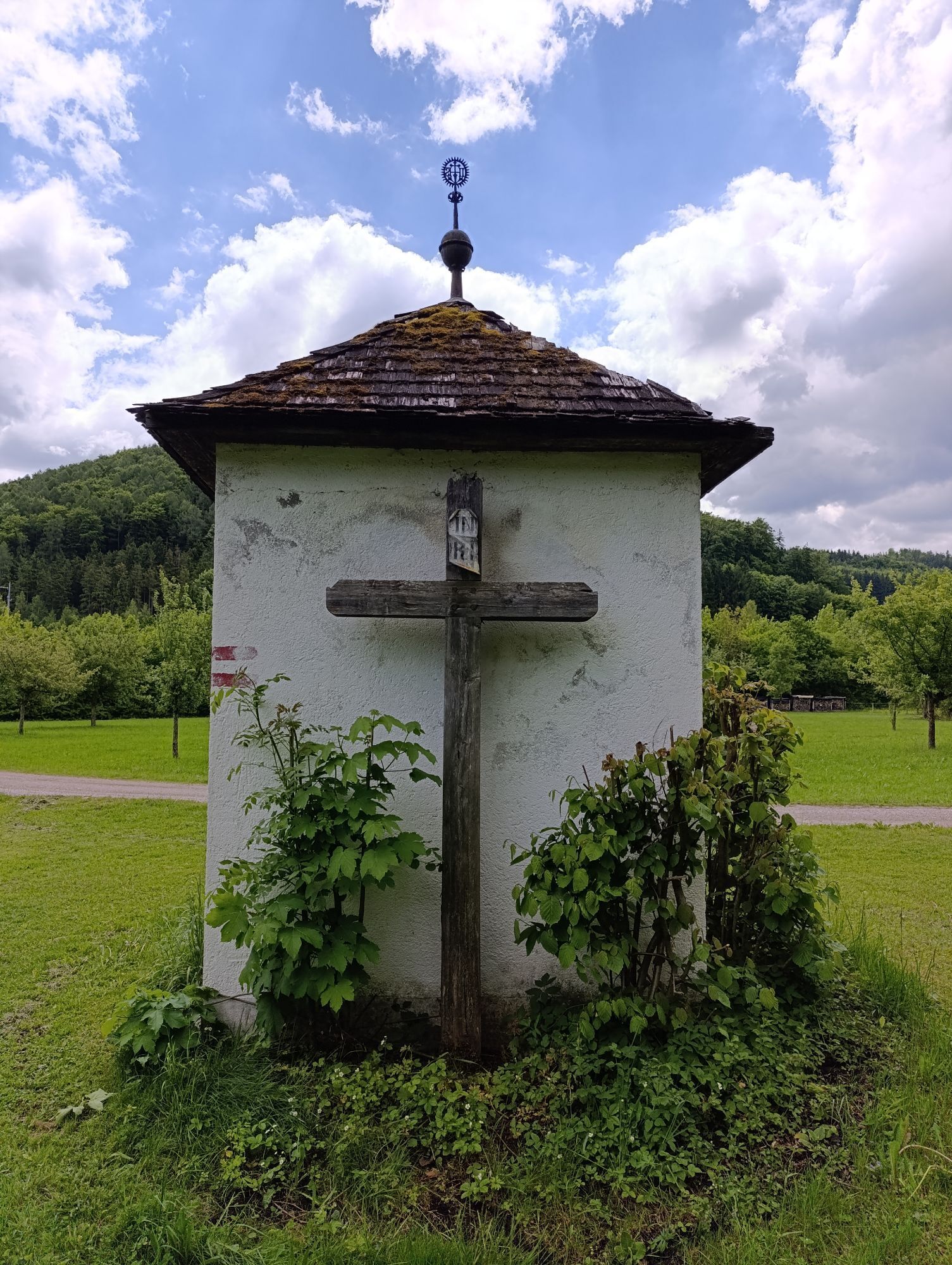
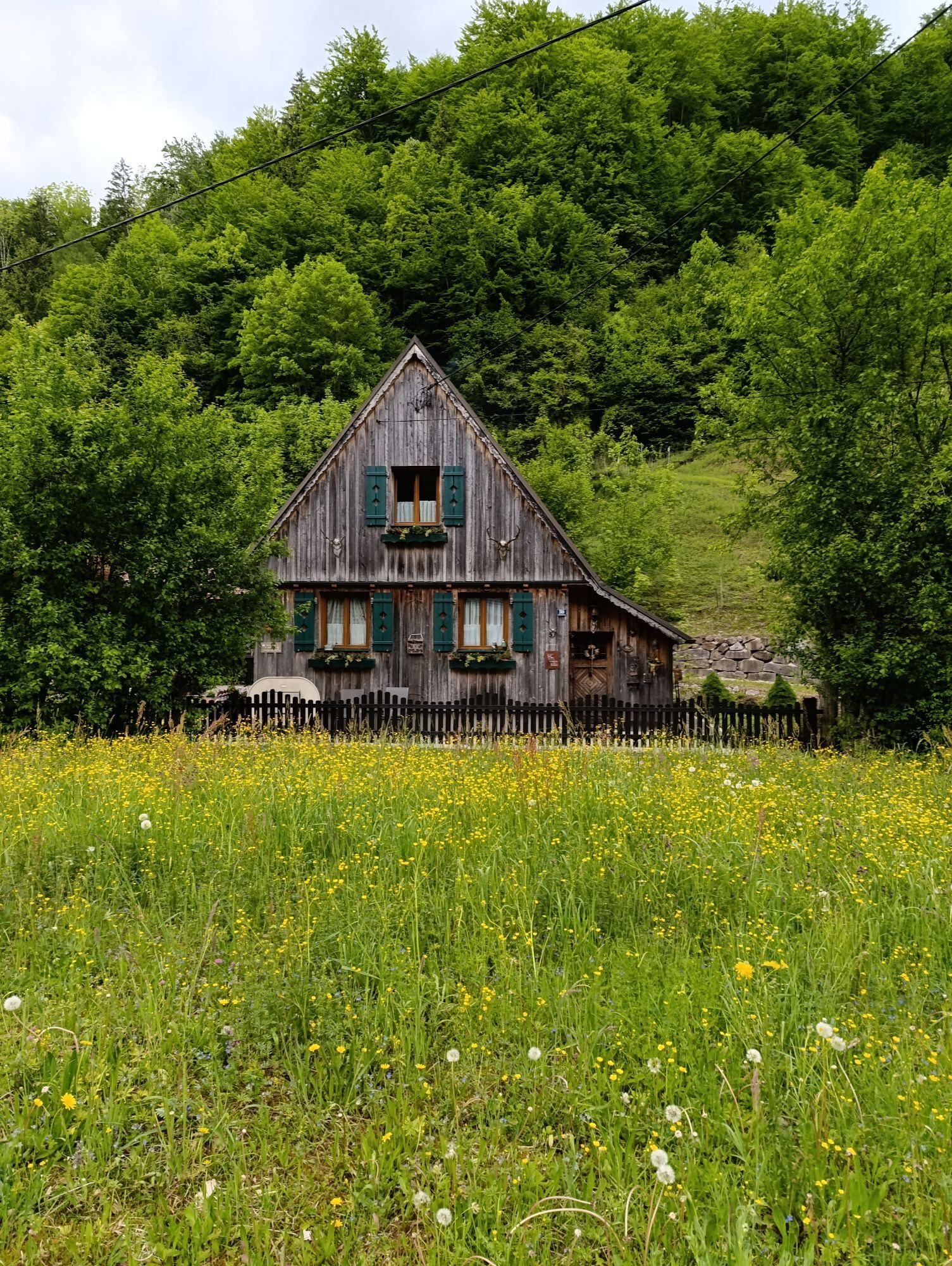
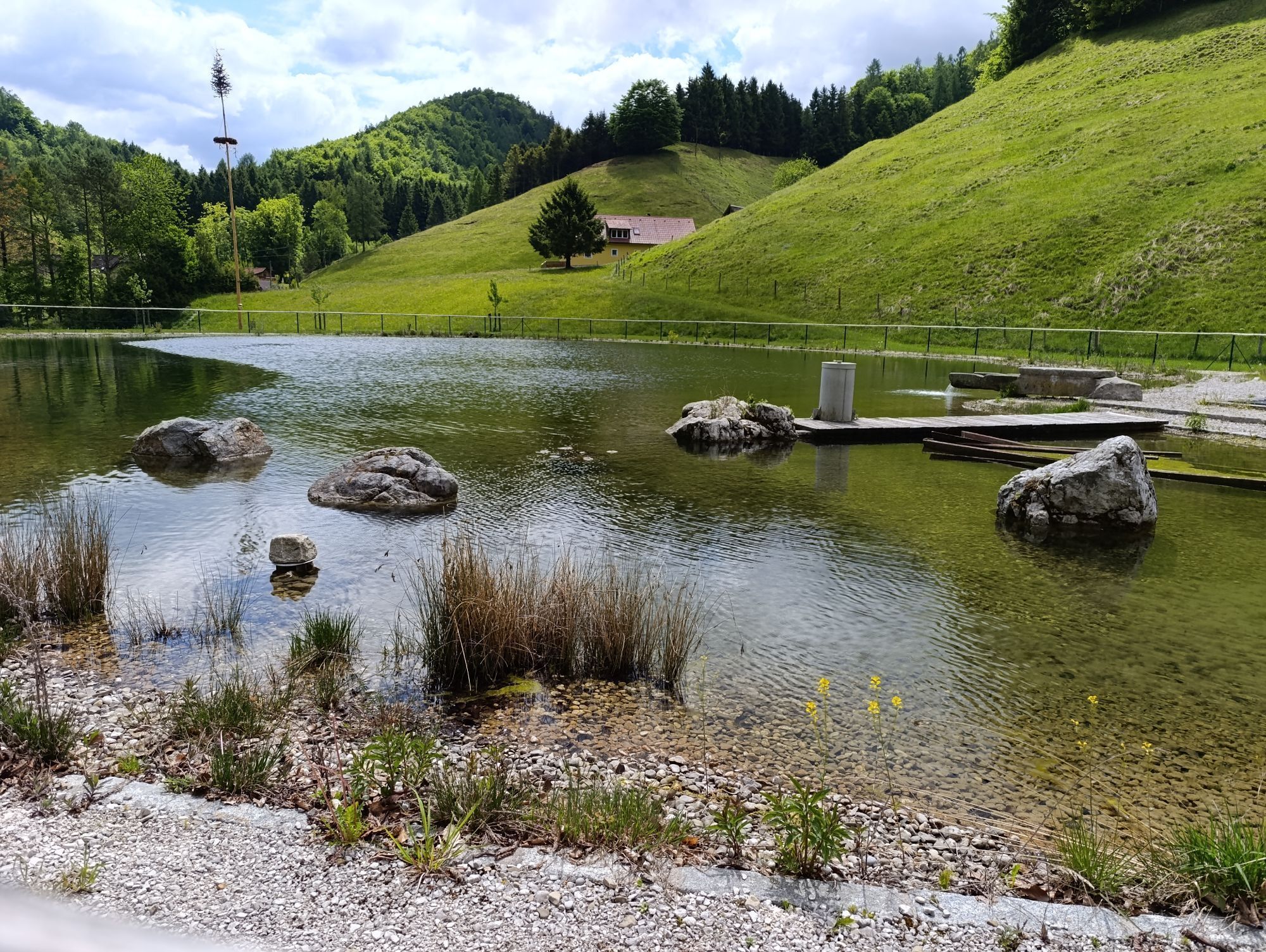
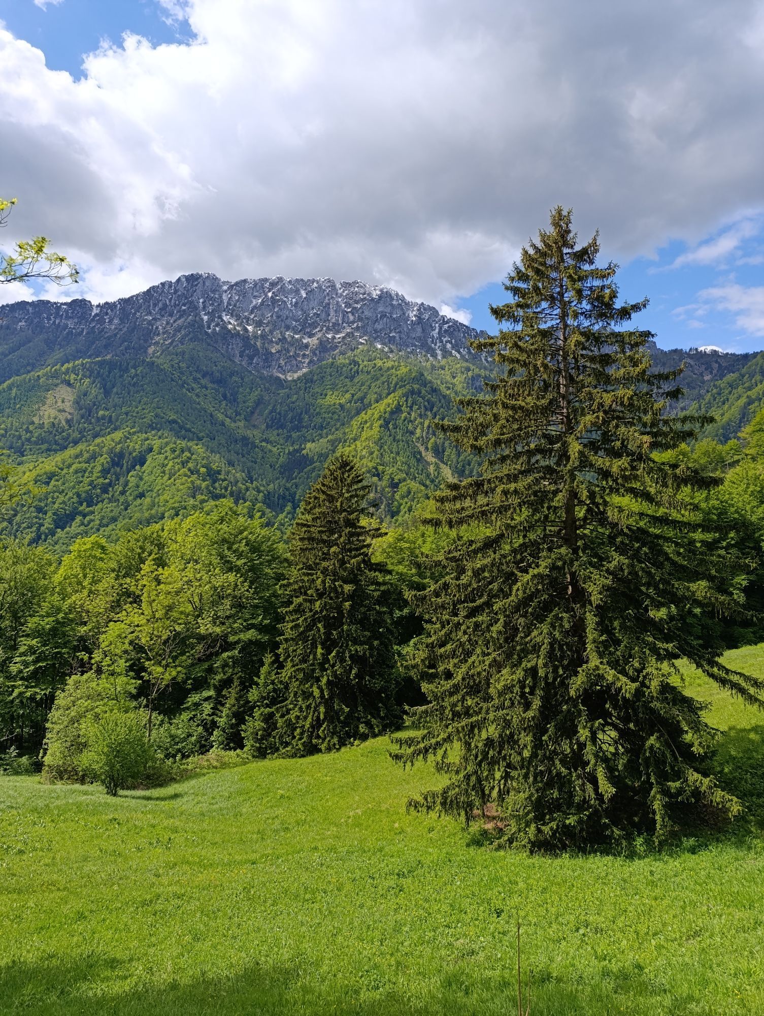
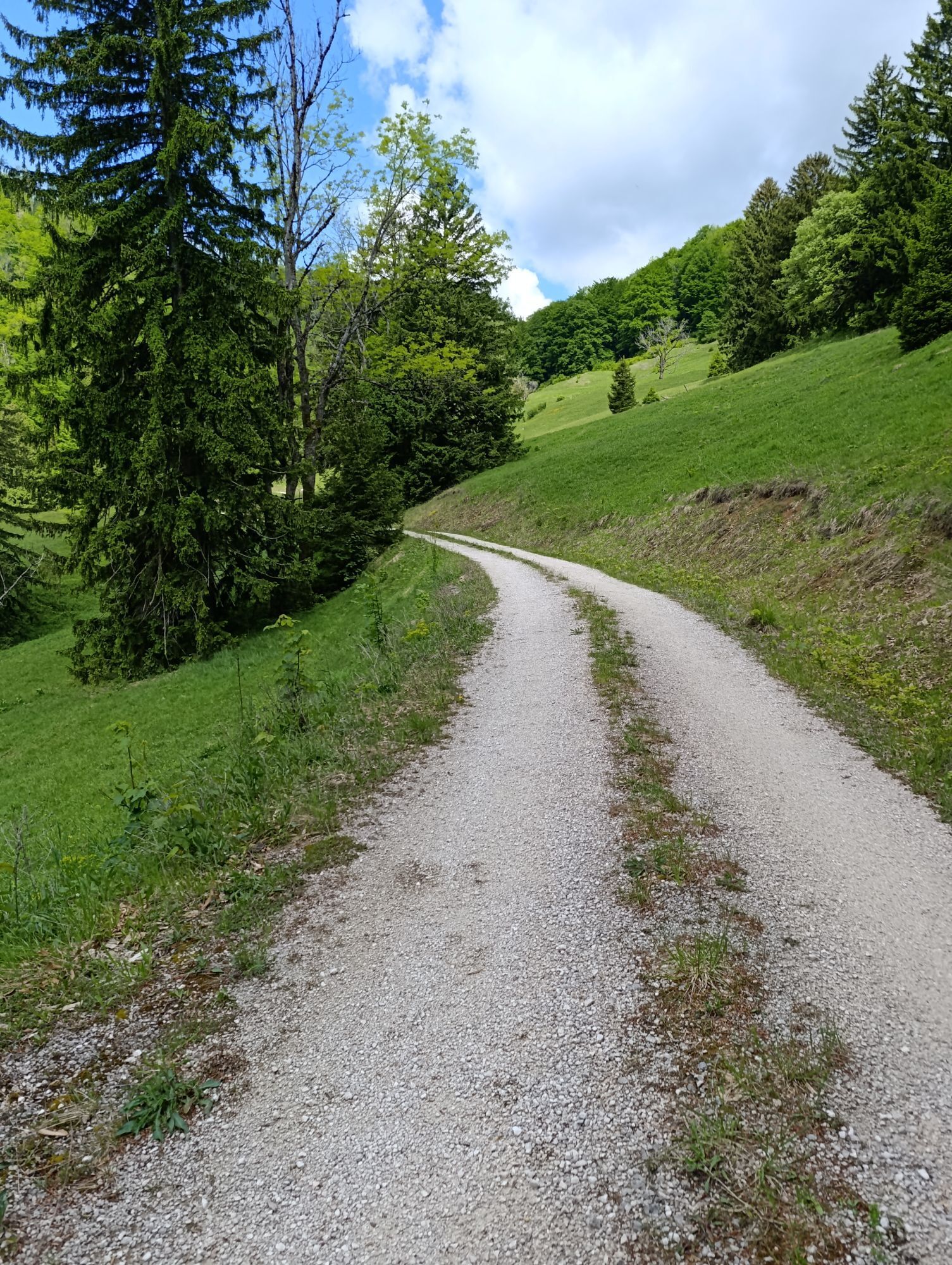
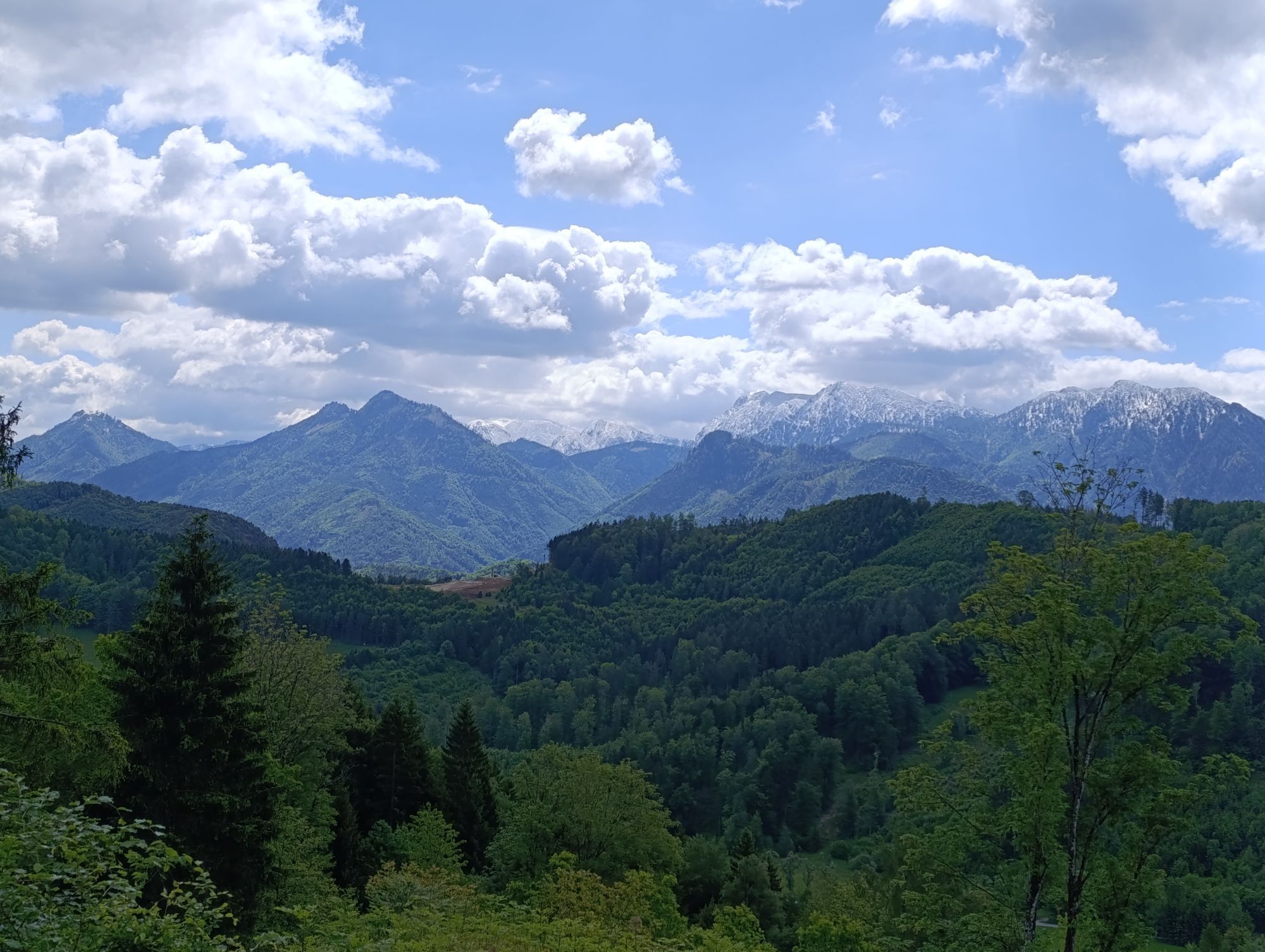
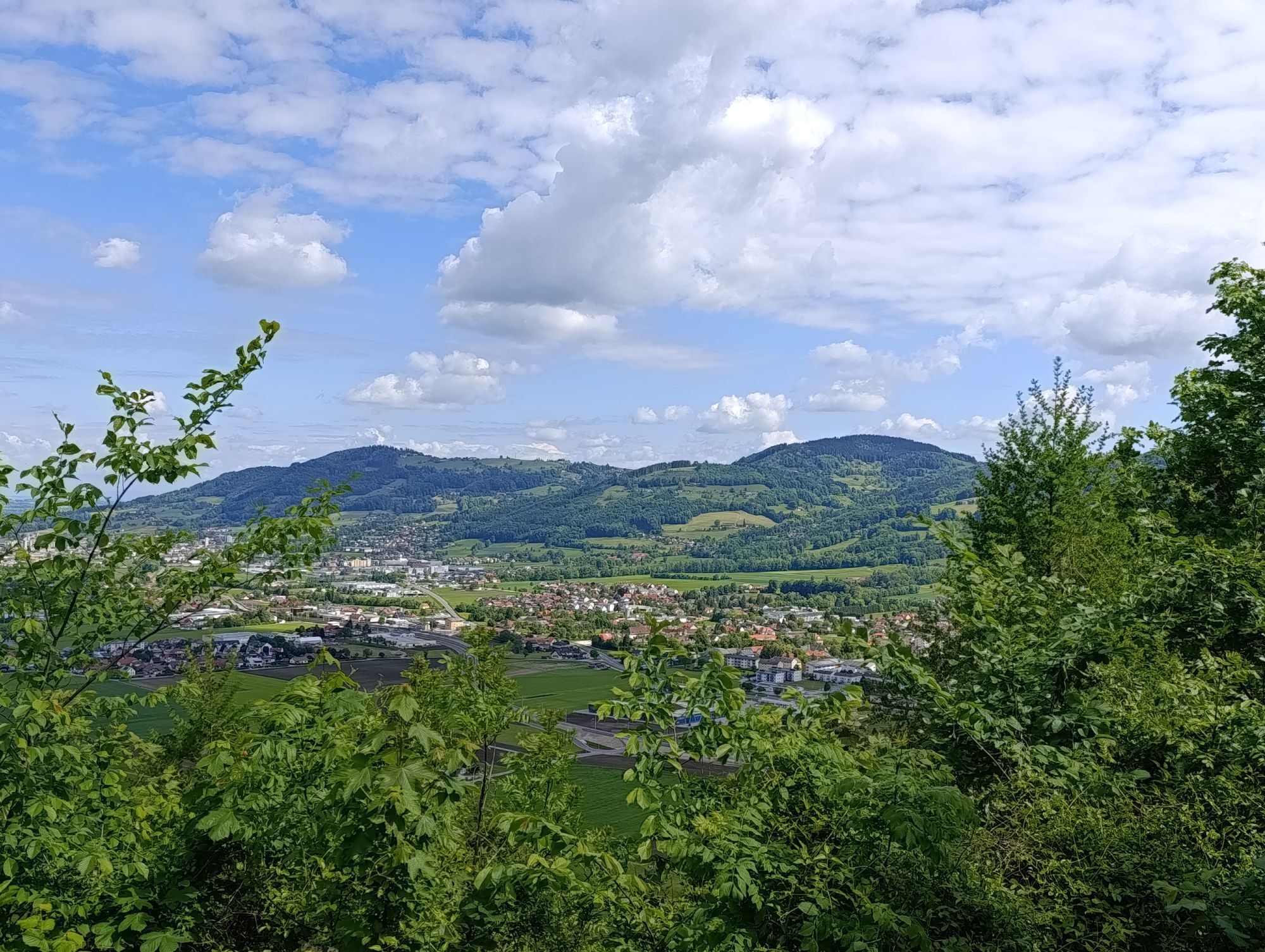
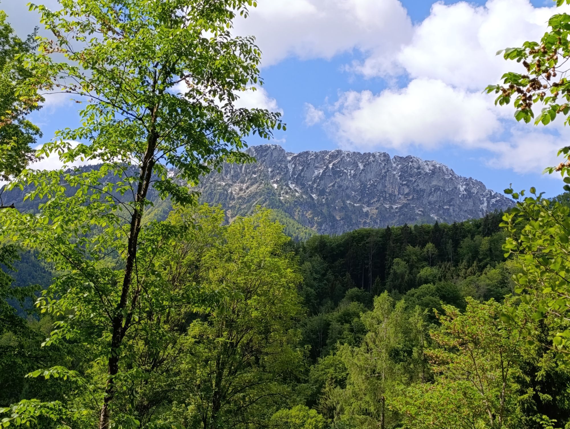
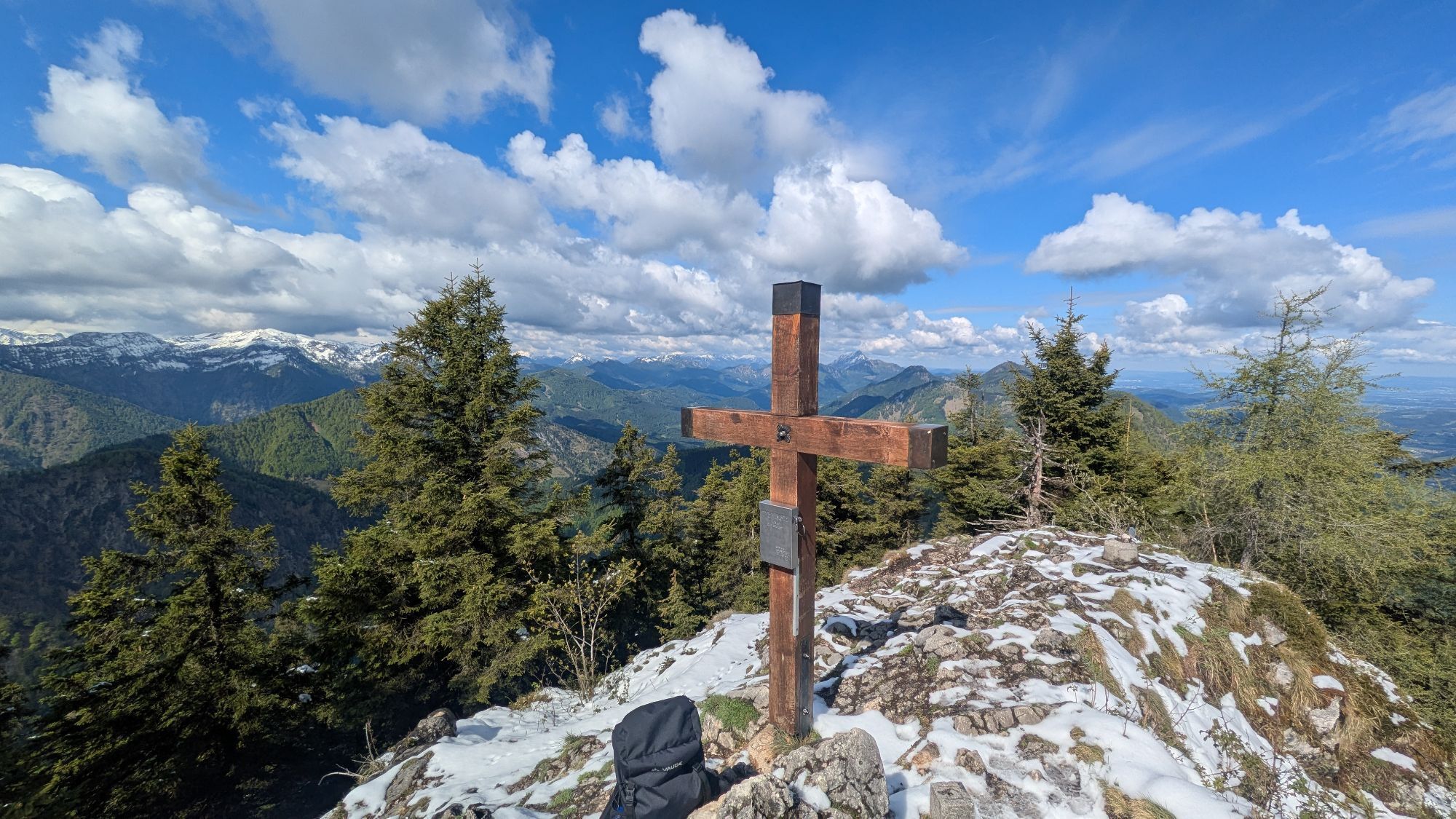
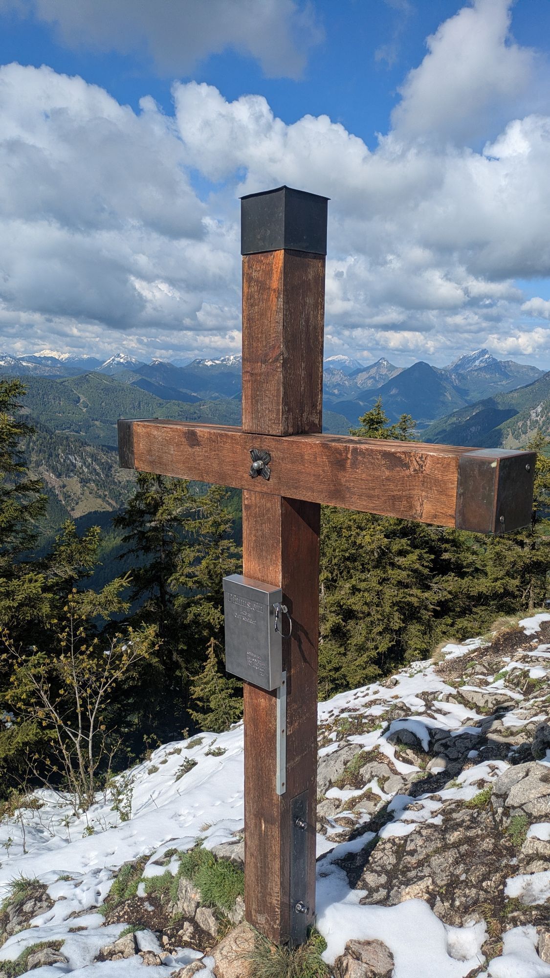
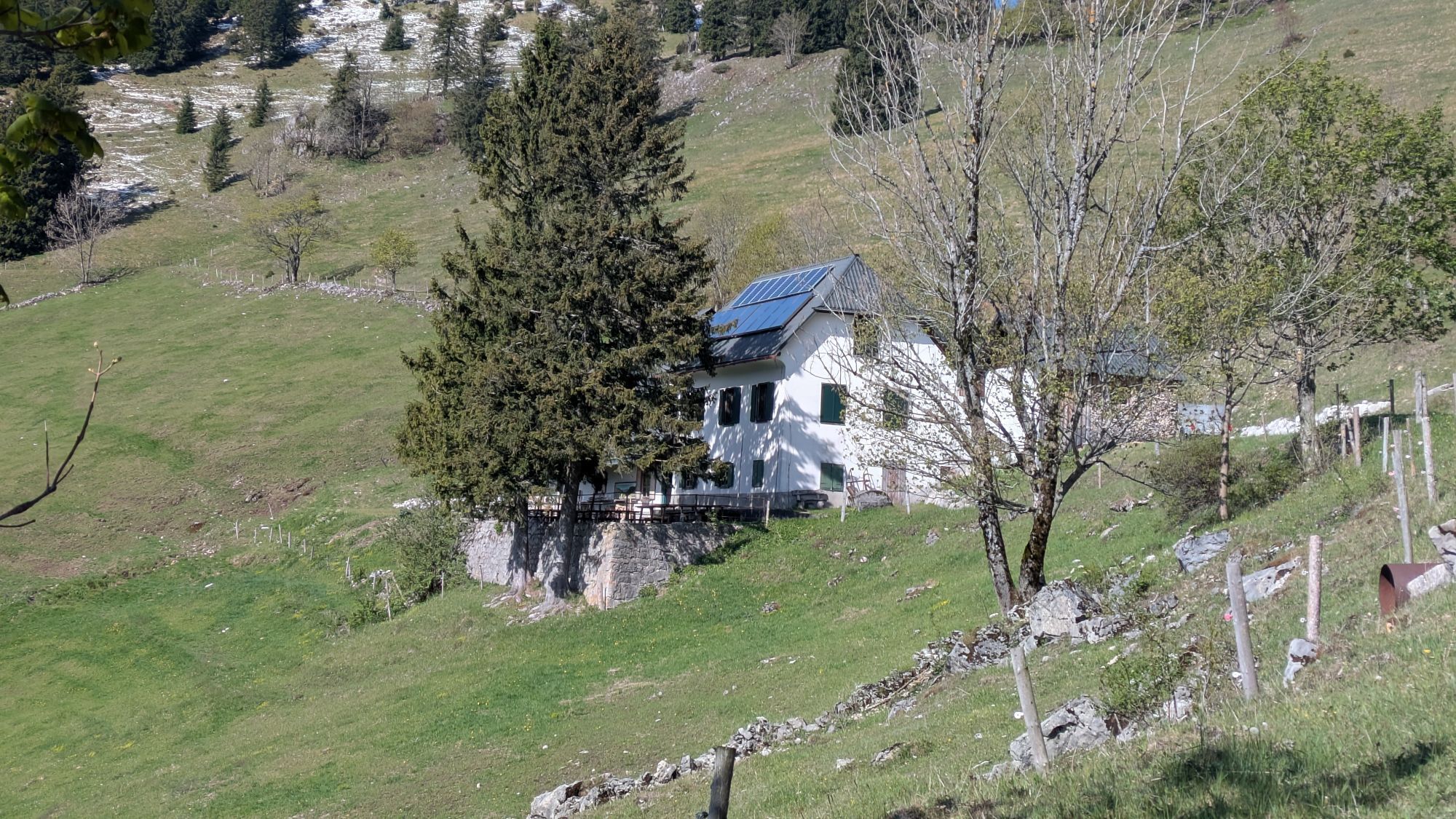
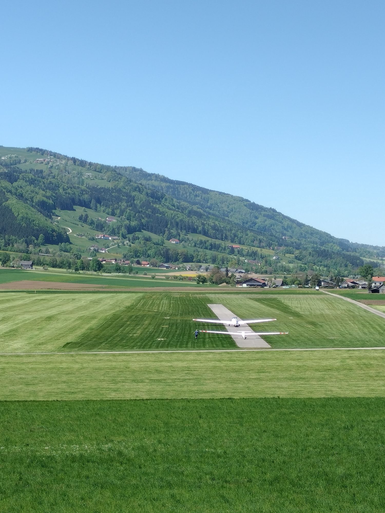
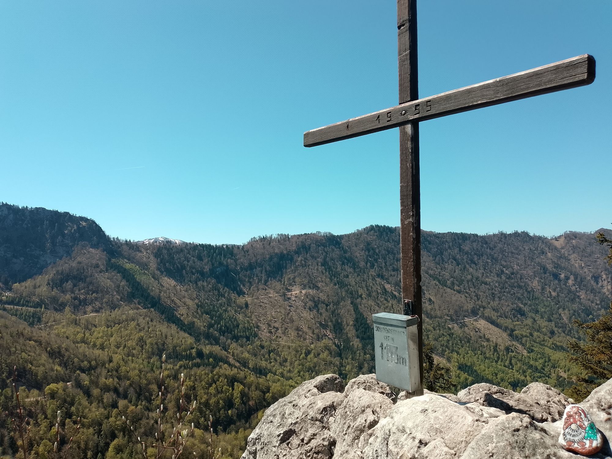
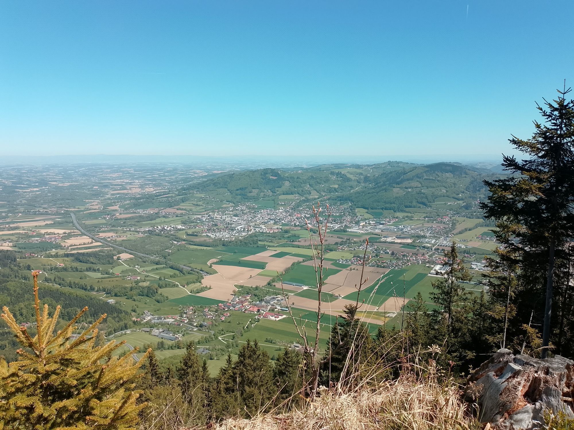


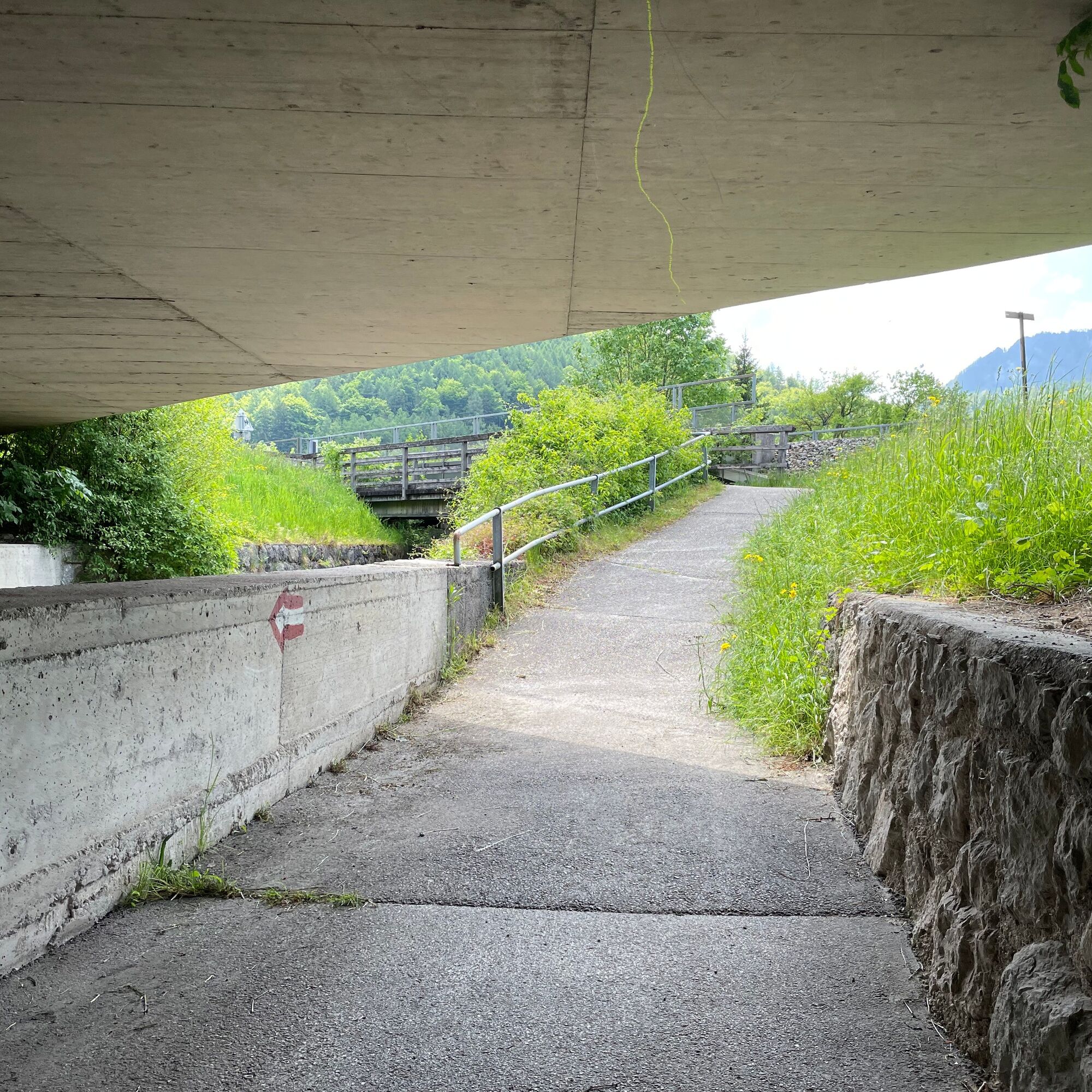
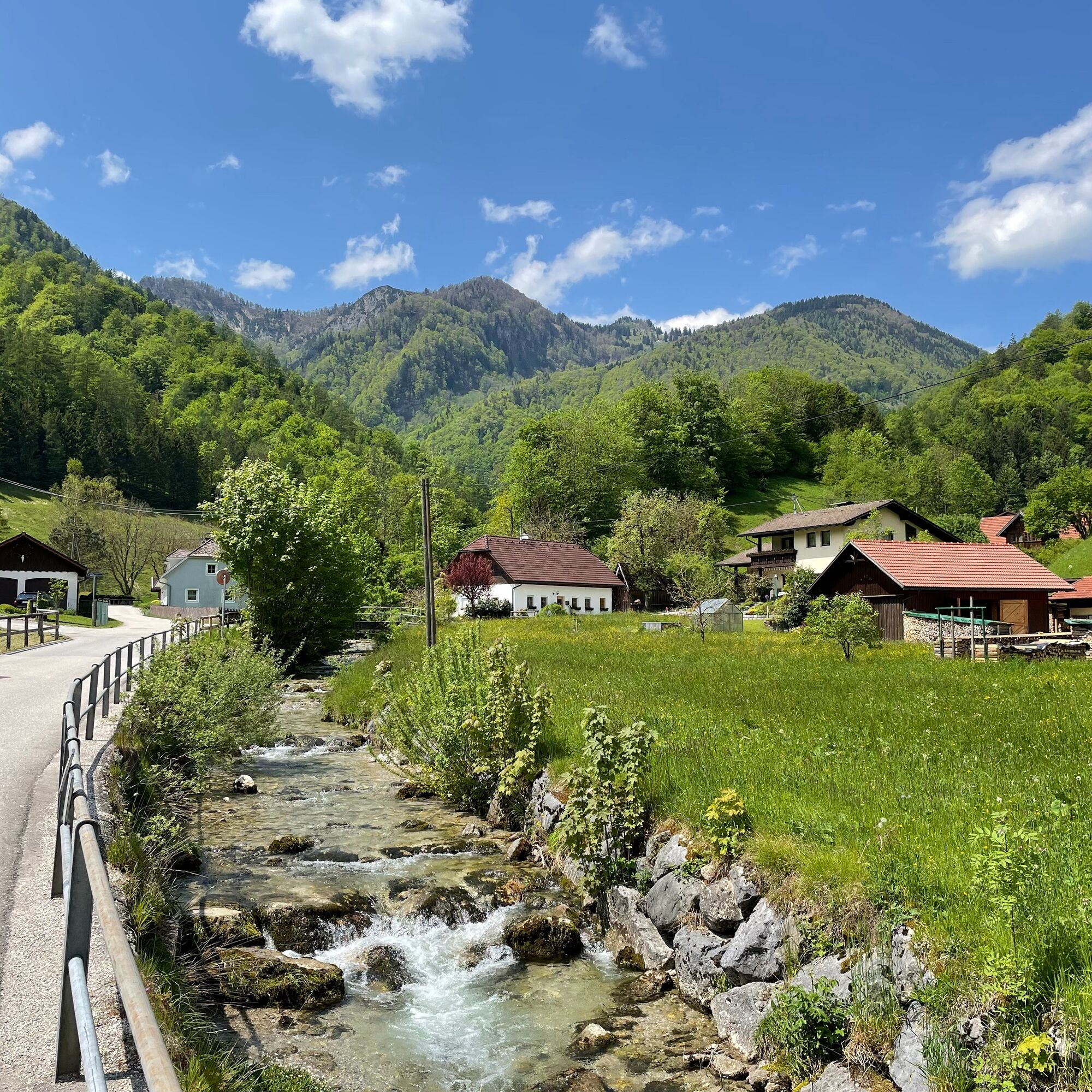
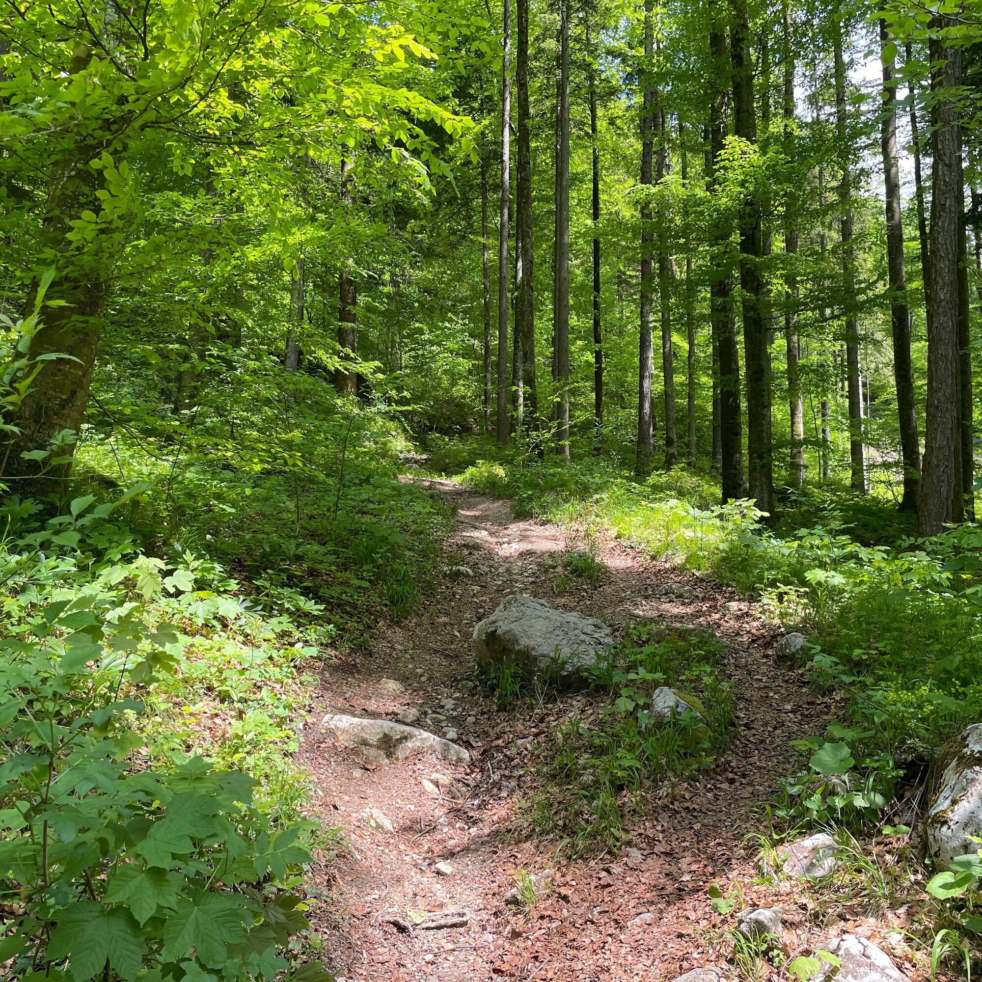
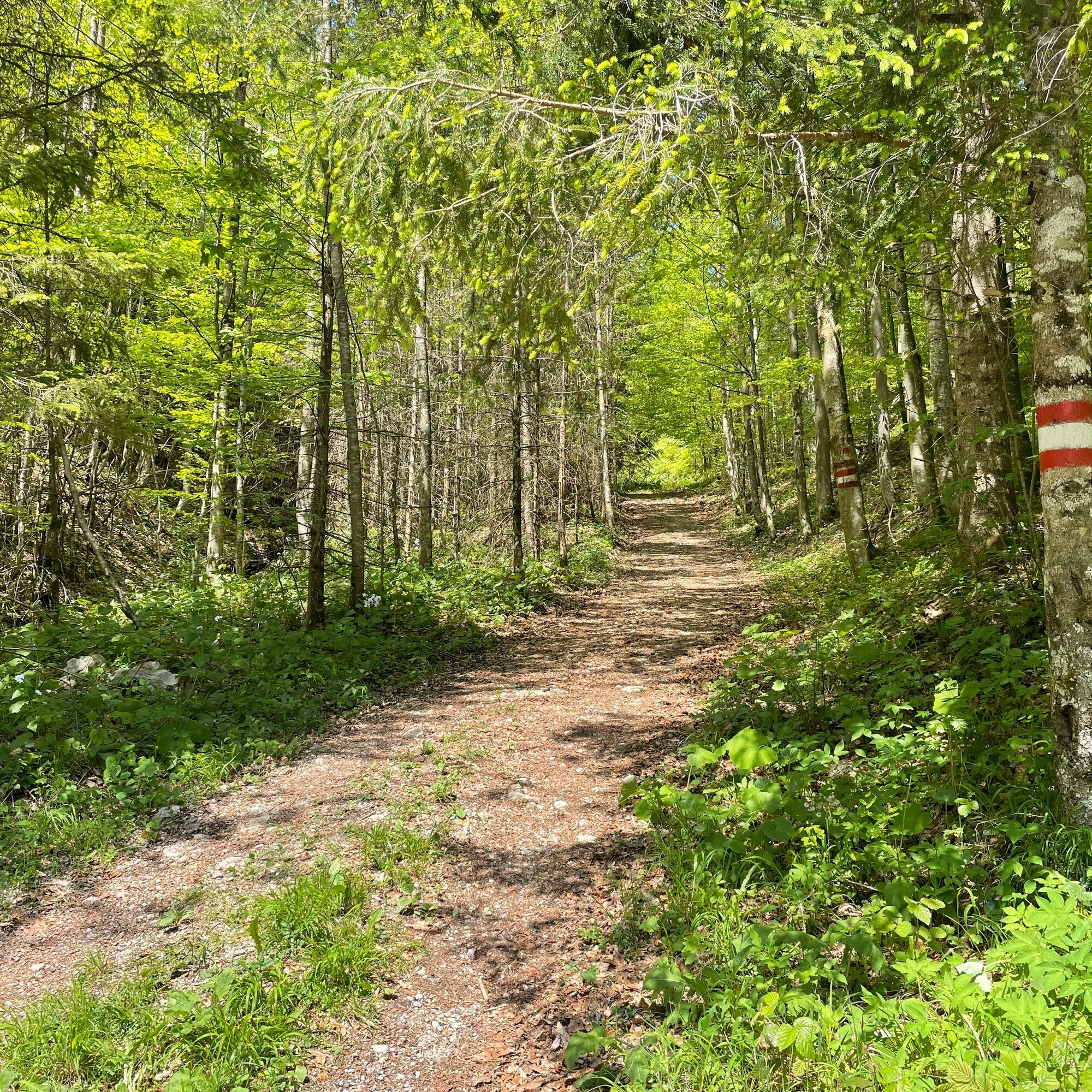
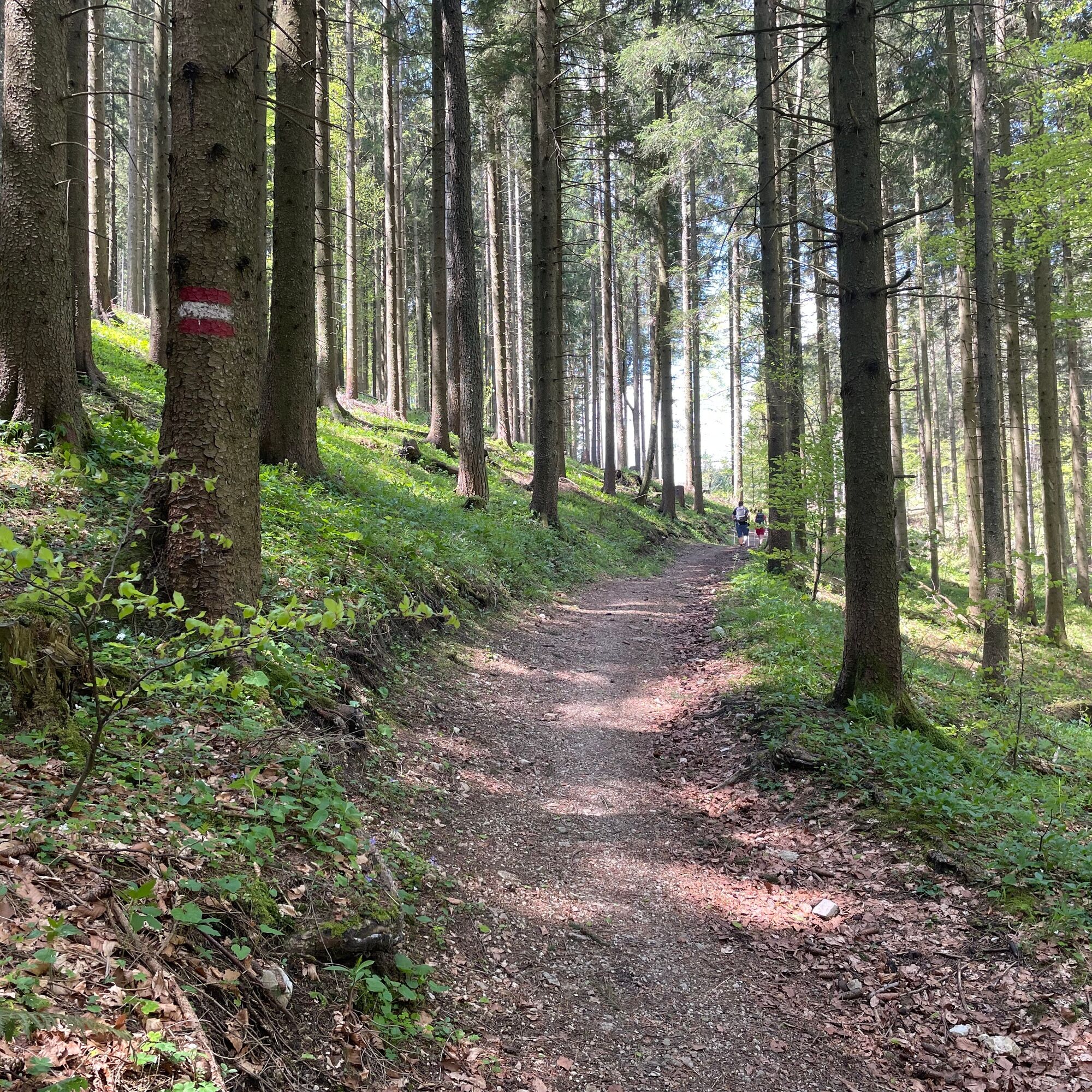
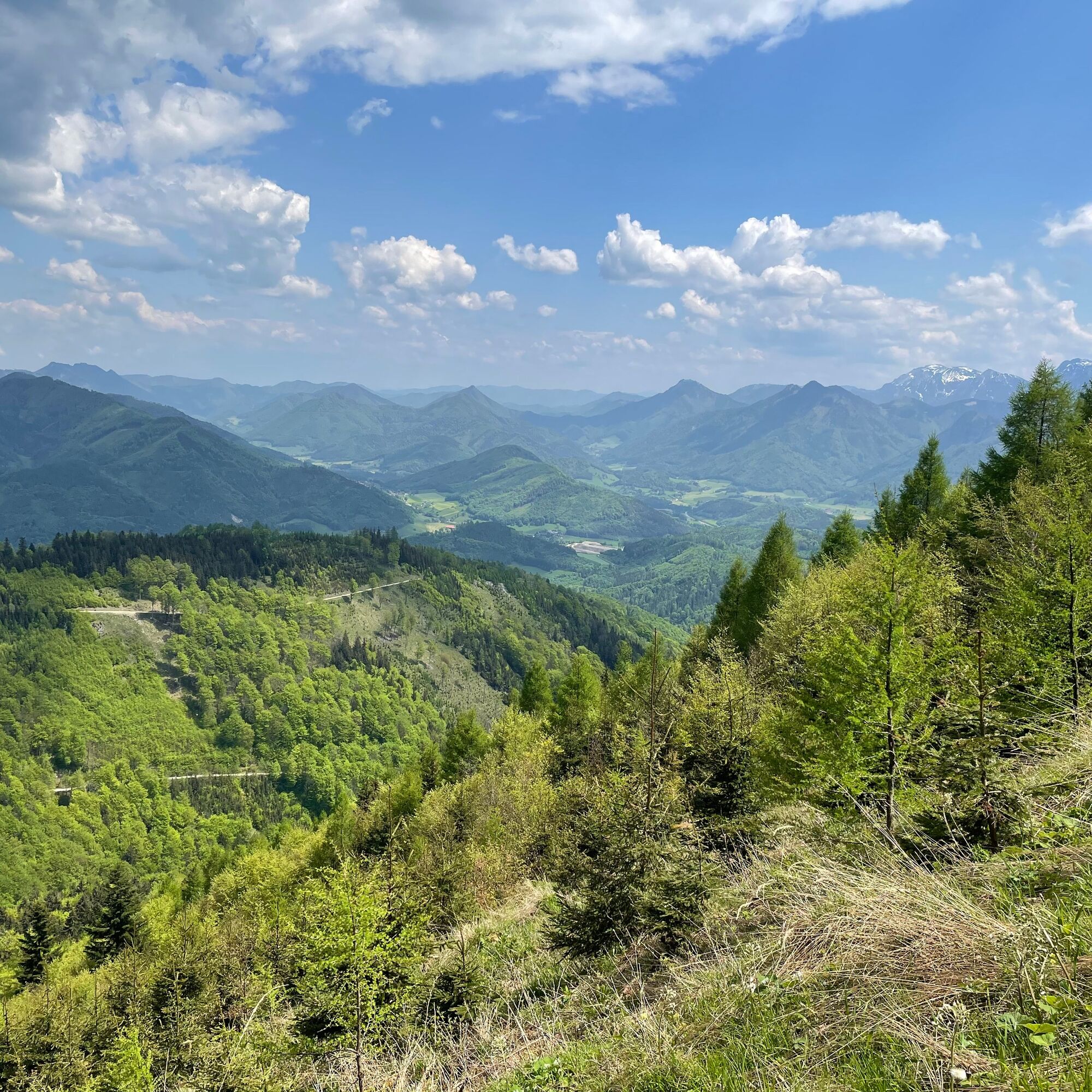
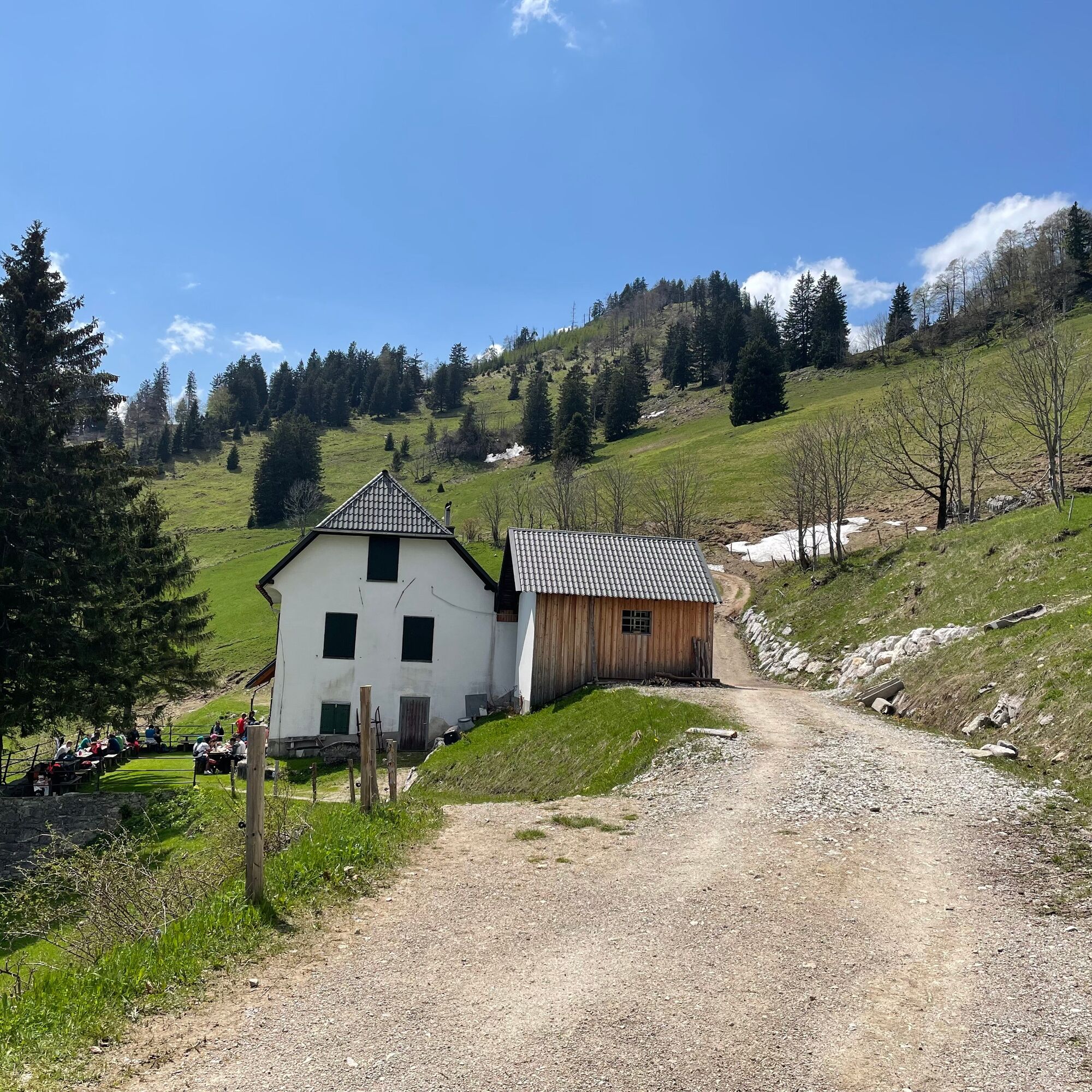
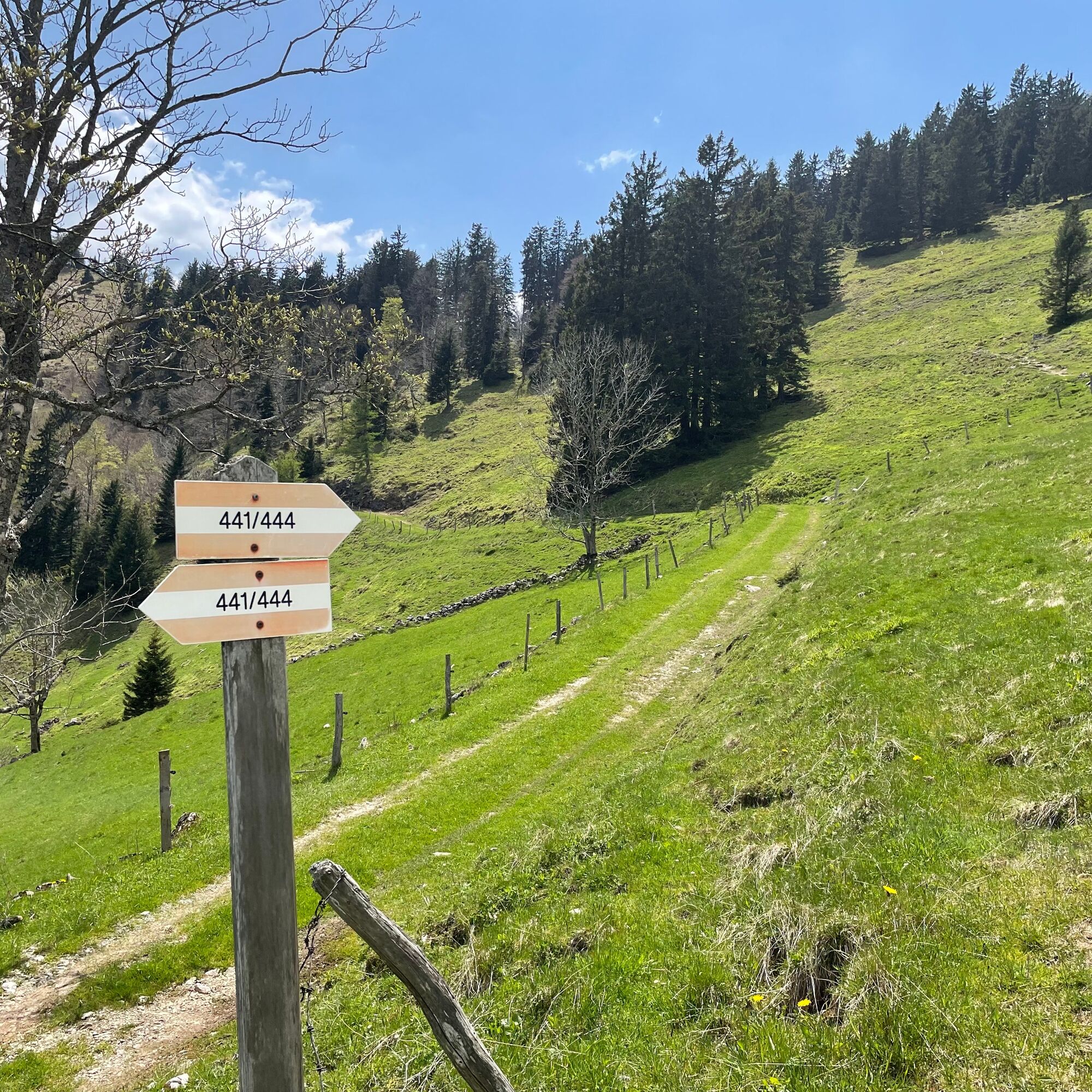

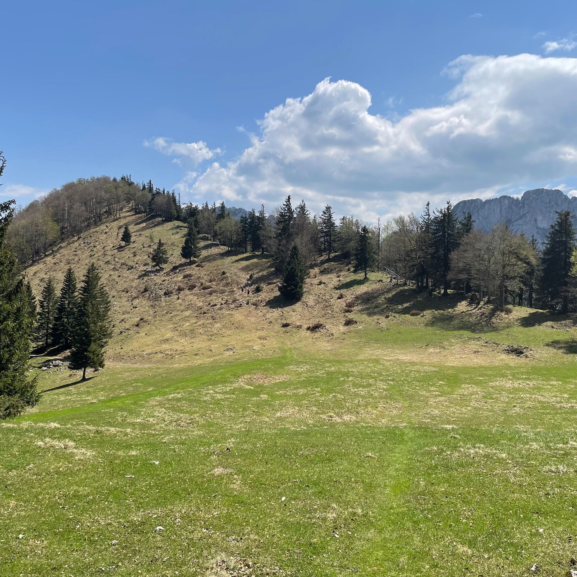
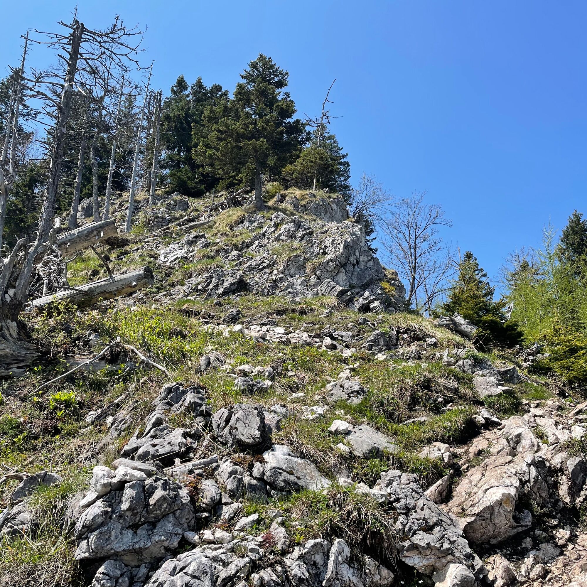
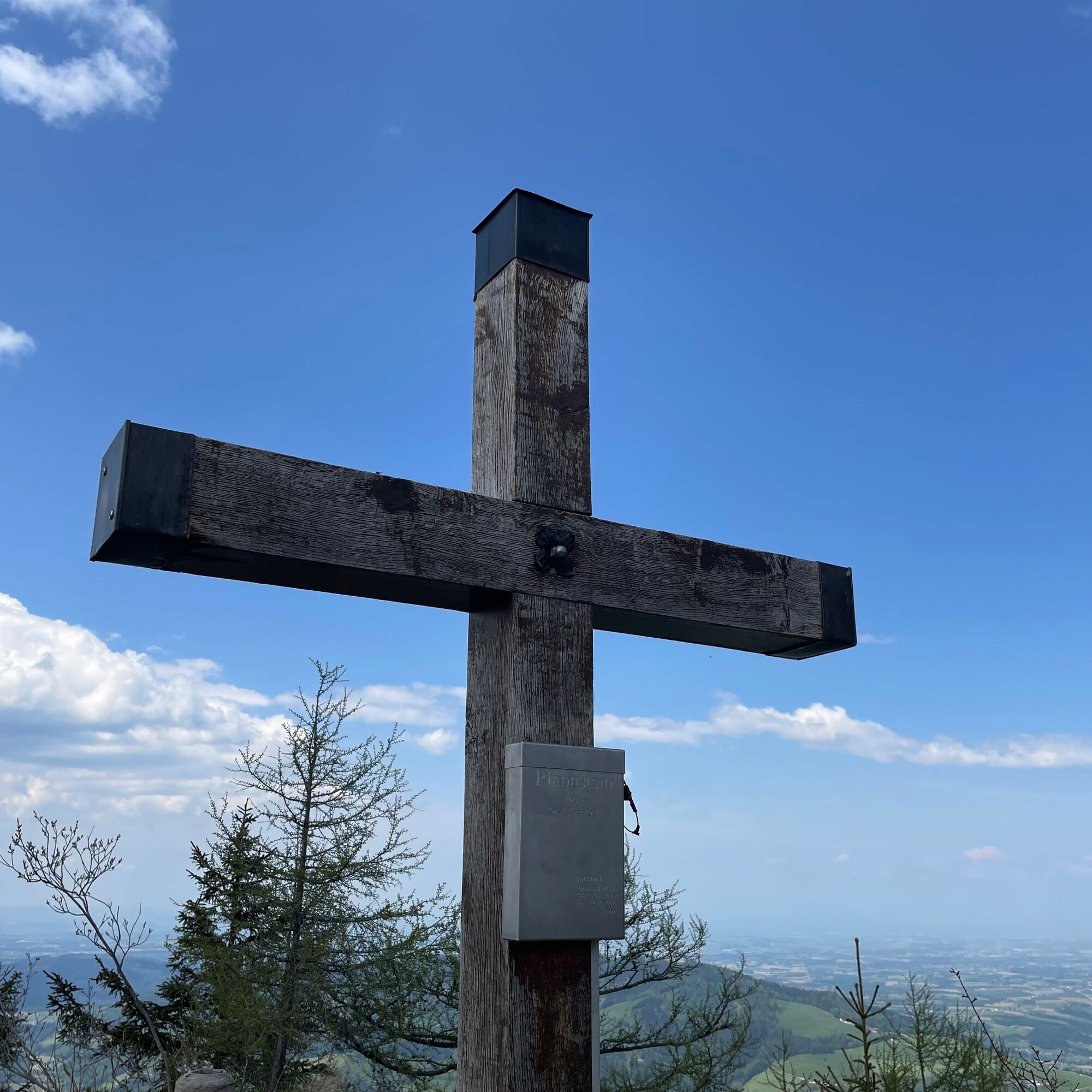
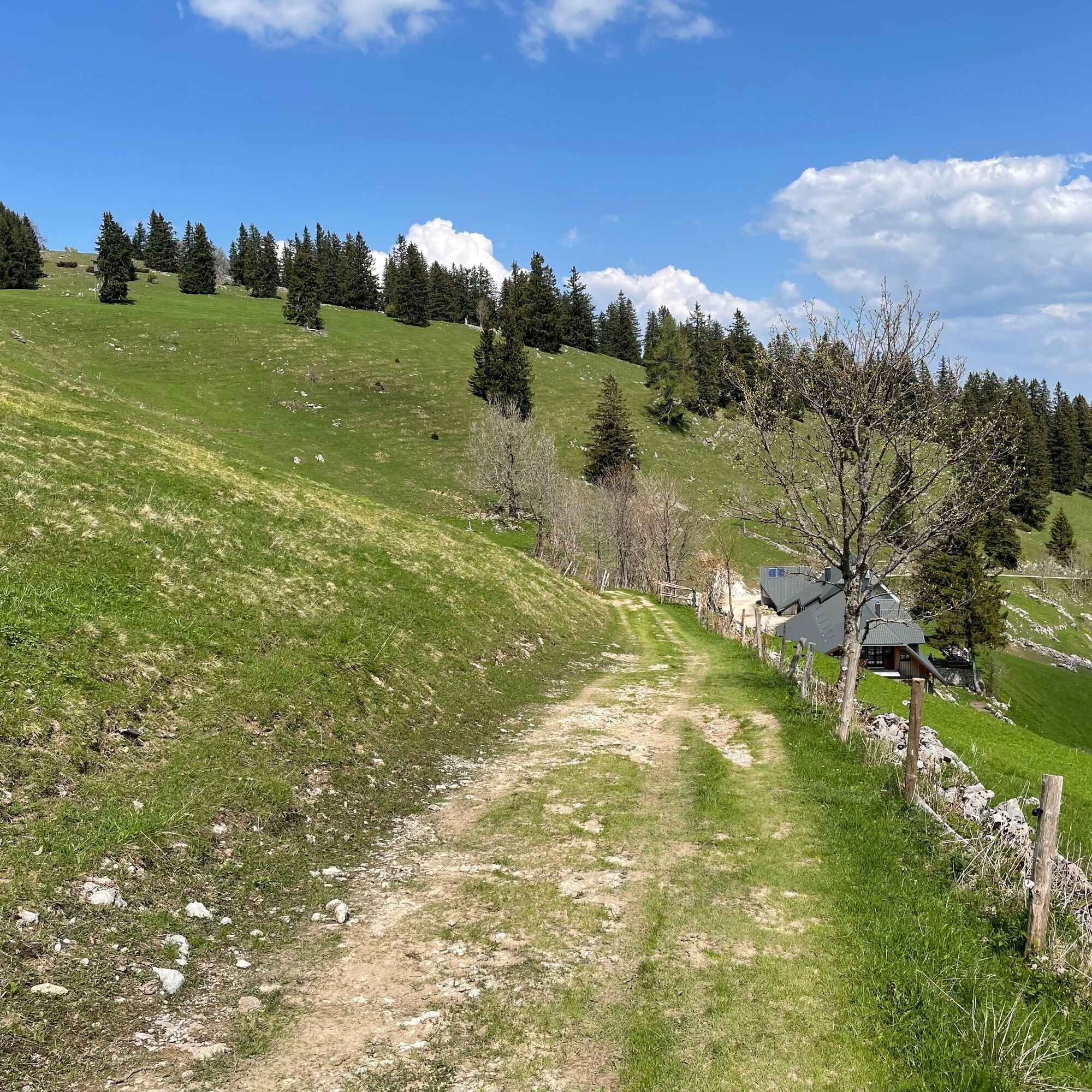
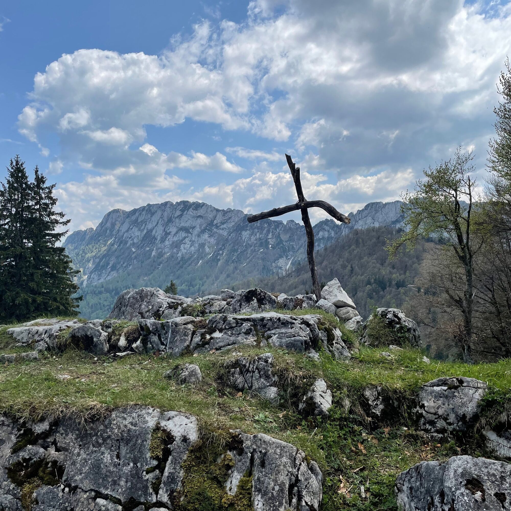
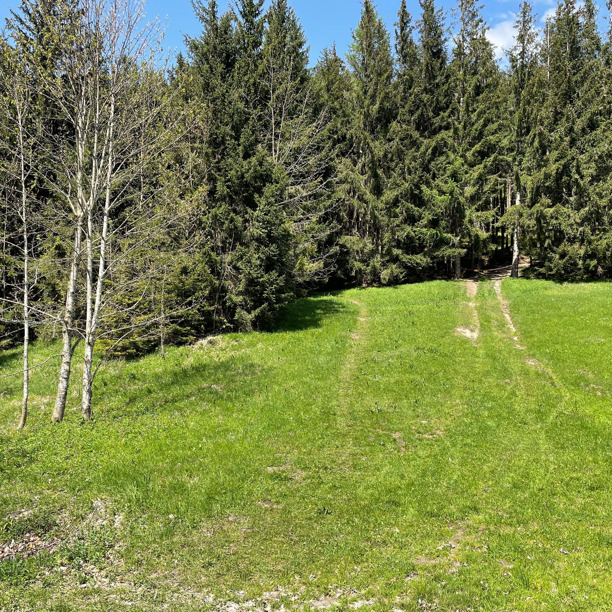
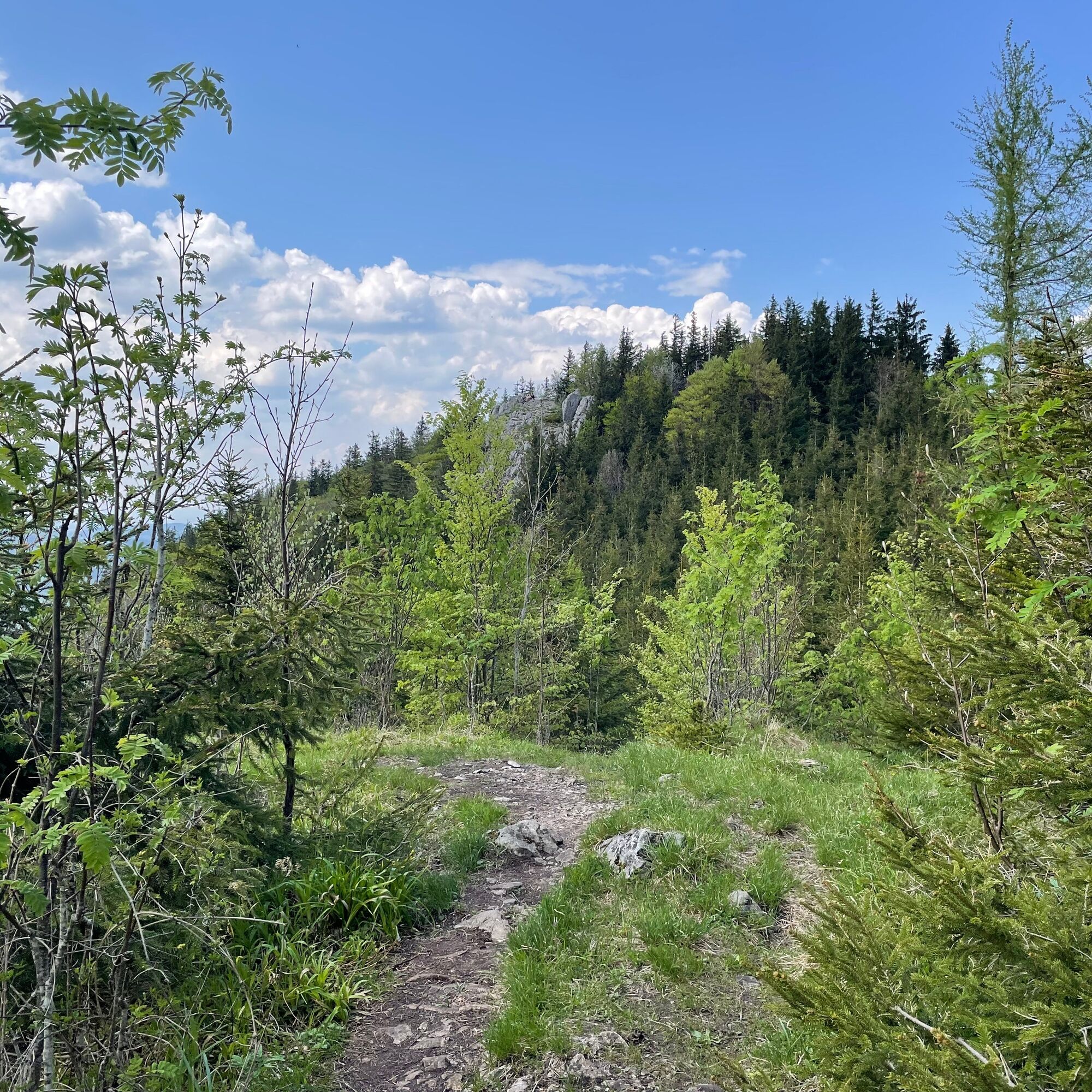
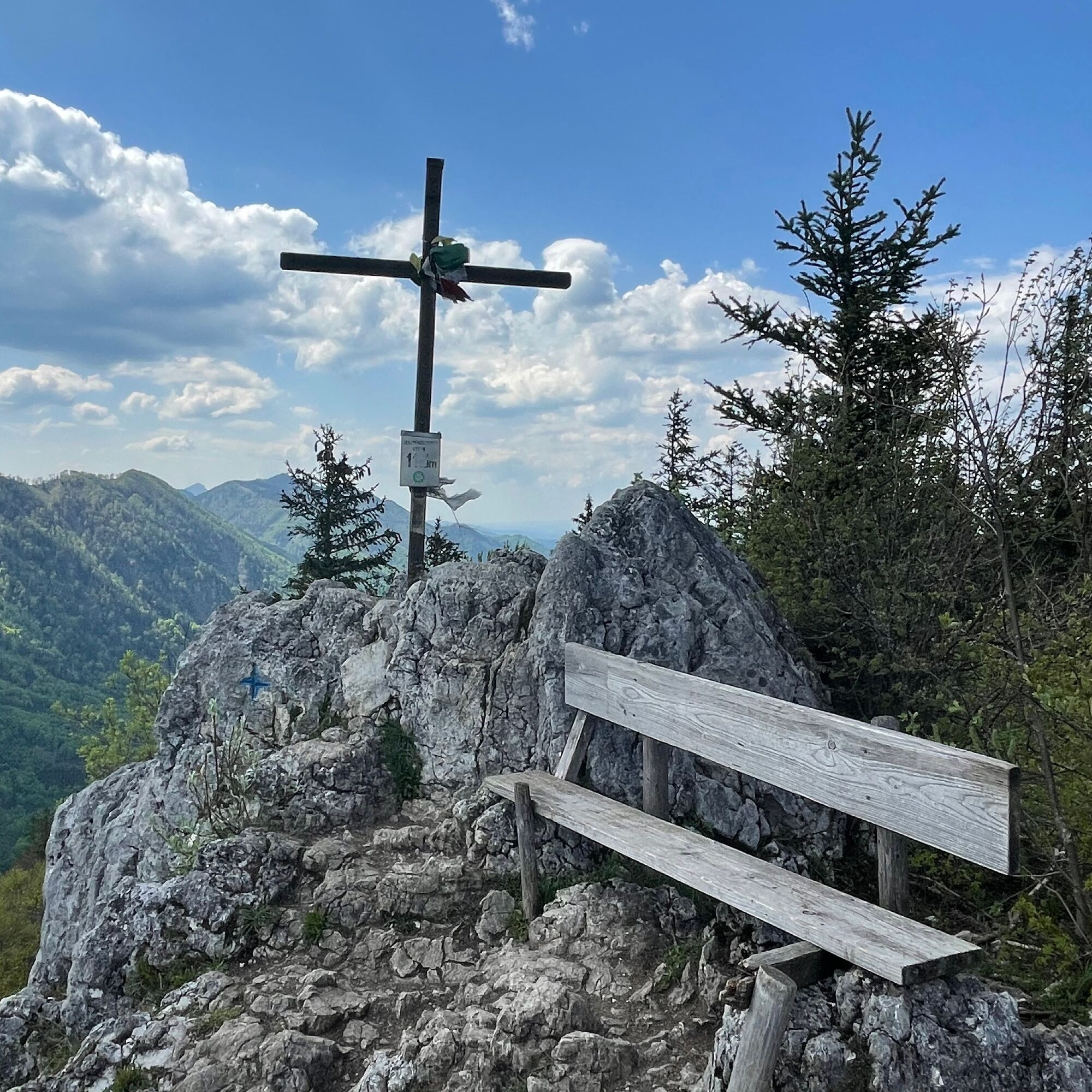
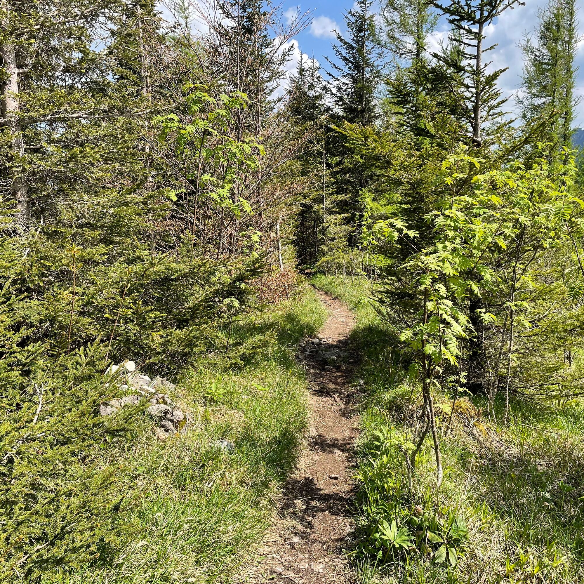
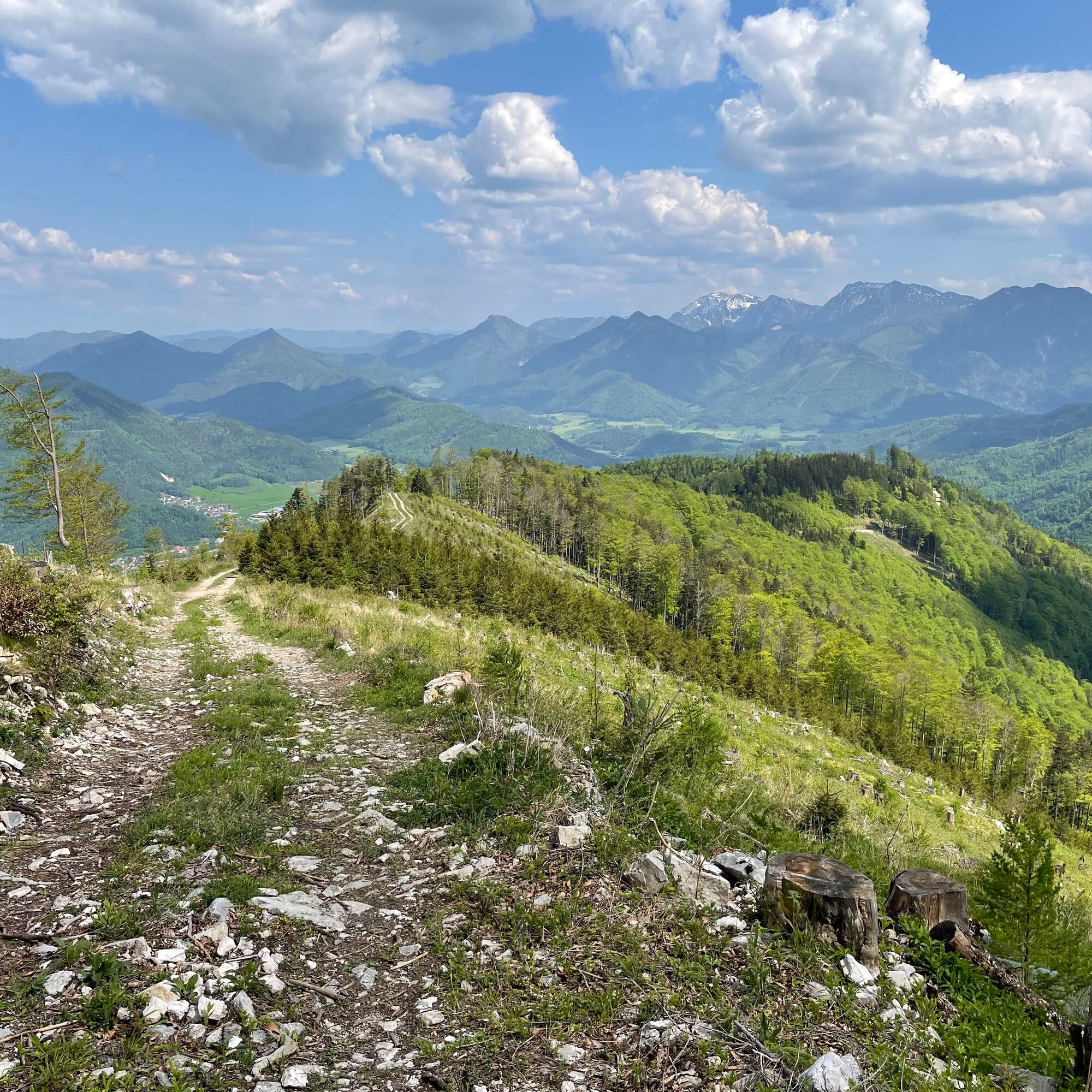



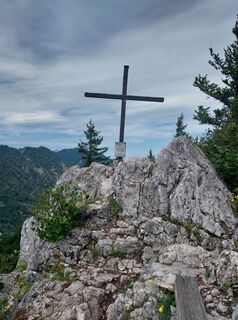
The starting point of the route is Micheldorf station. The path leads to the right and immediately left over the B138. After 100 m turn right, past the scythe smith museum along the Krems to the bridge at Cafe Schwarz. Here right and the next street left. About 1 km straight ahead, then through the underpass to the other side of the B138. After 50m immediately right again over the railway tracks and straight through the small settlement. At the next intersection turn right and follow the hiking trail K93 to the Gradnalm. This leads along the Krems to its source. Shortly before, turn right onto a forest path, climb steadily and take an unmarked trail before the Sattelhald up to the forest road. Continue left and at the end of the forest road lies the Gradnalm. After the Gradnalm, go about 500 m right up to the Pfannstein. At the summit, there is a magnificent view of the Kremsmauer and the Mittagstein.
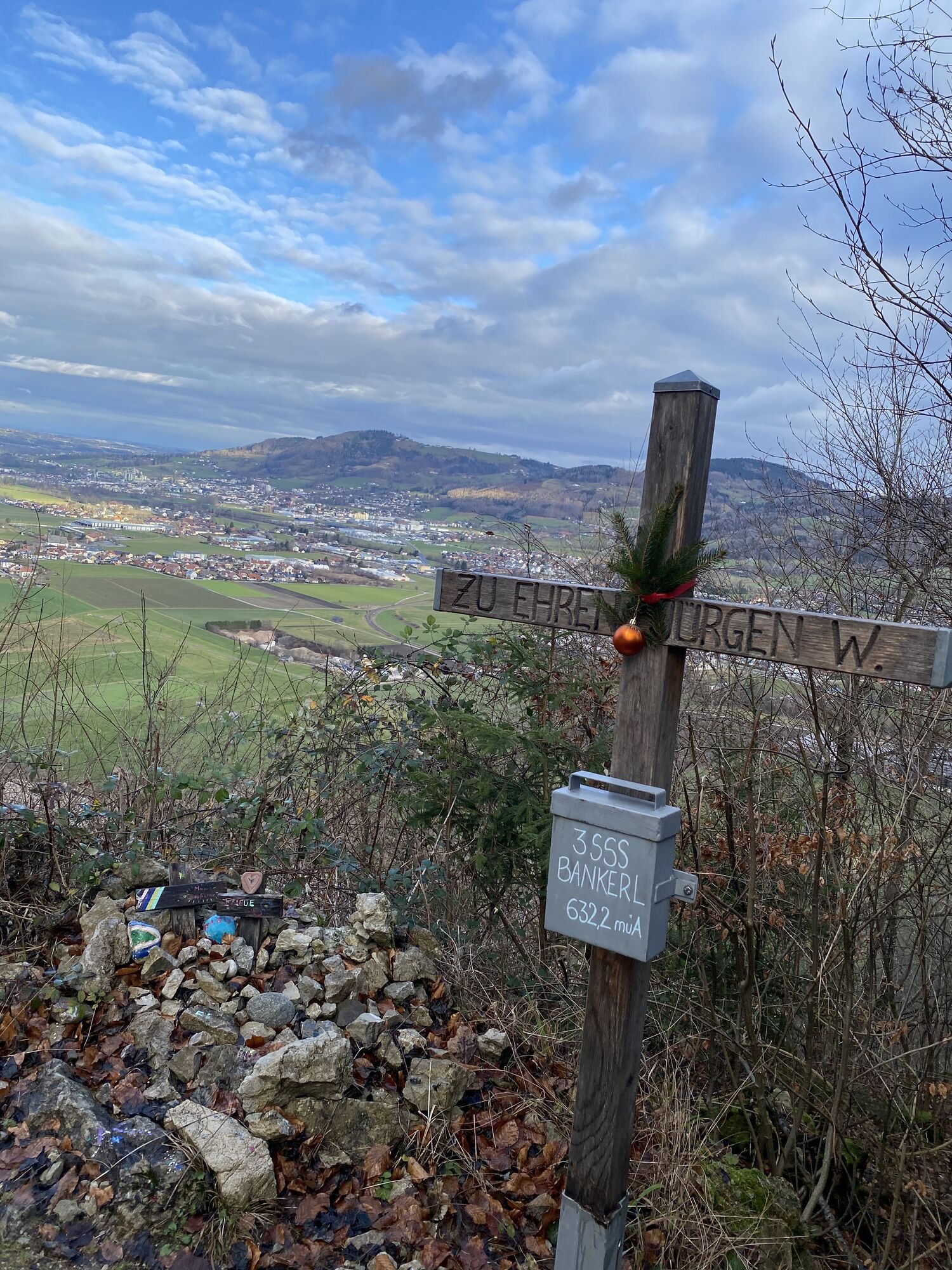
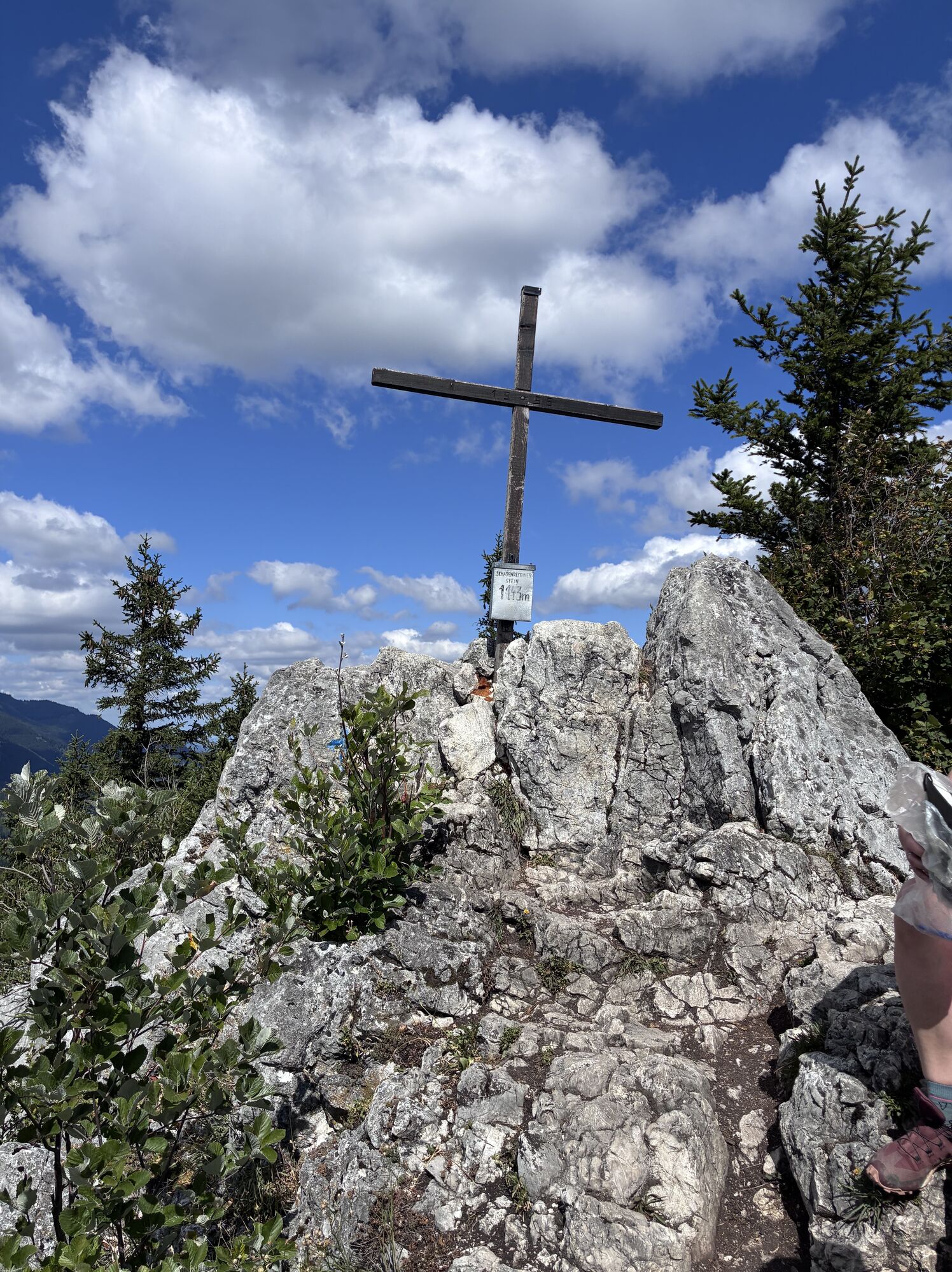
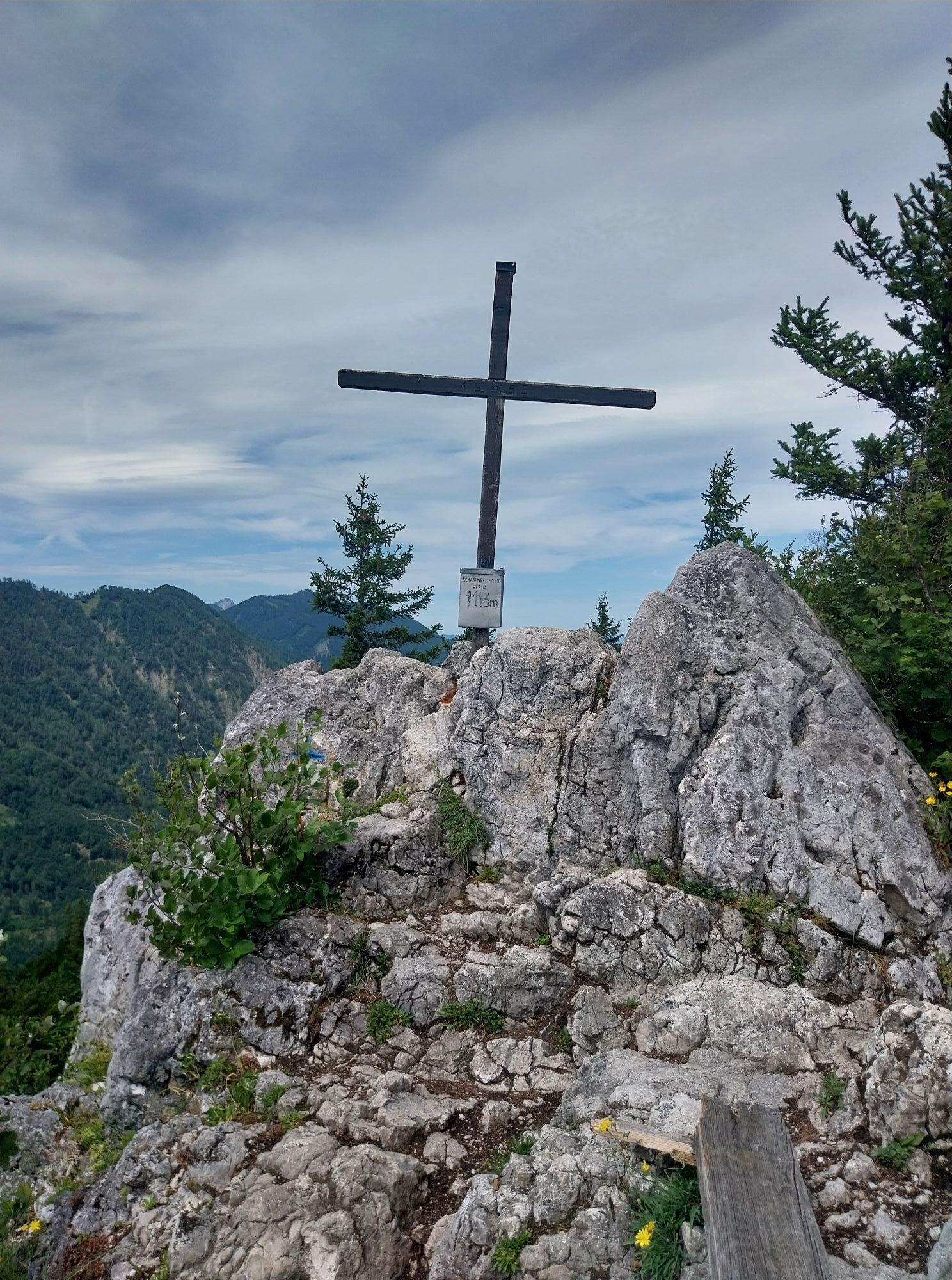
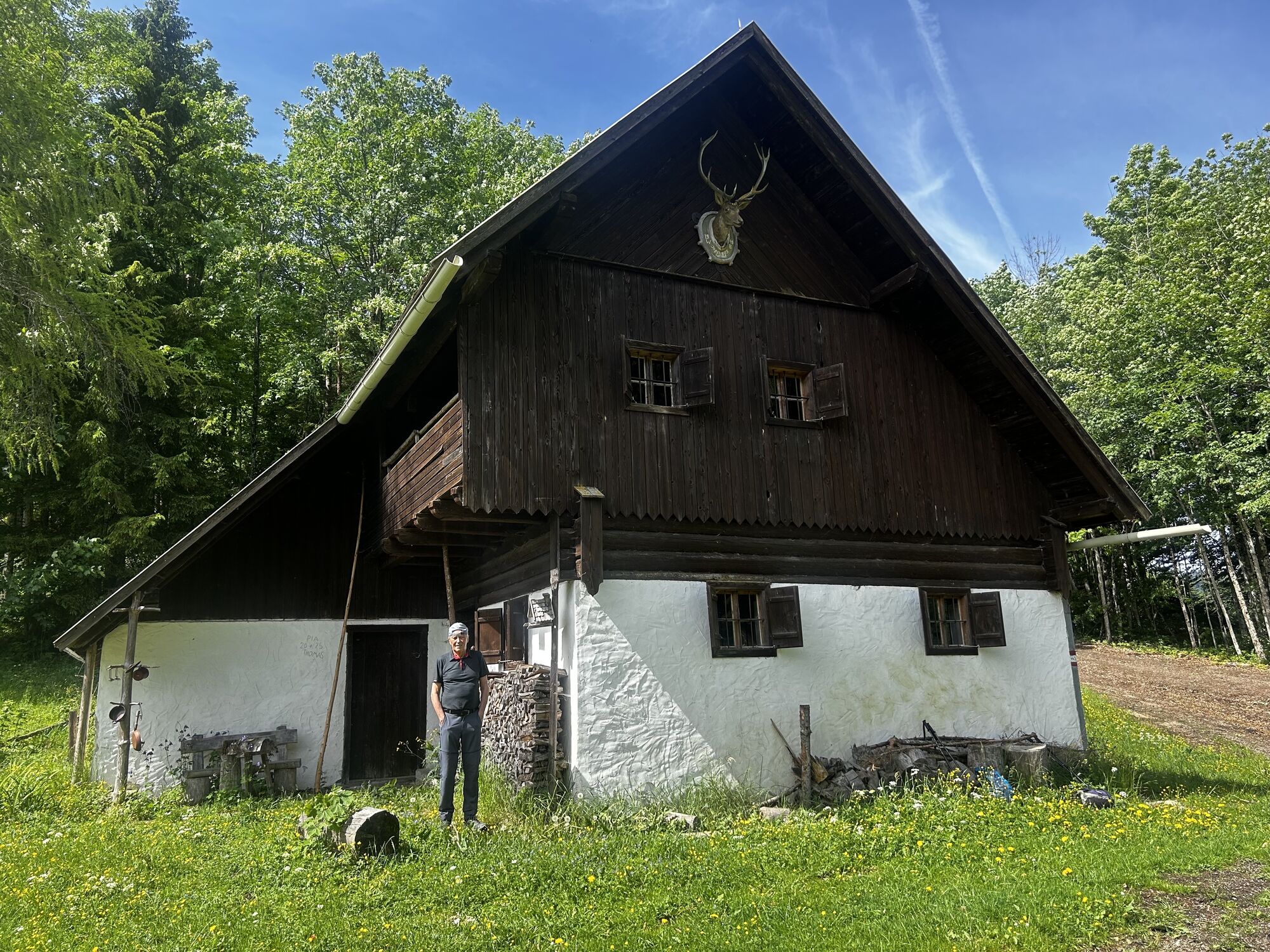
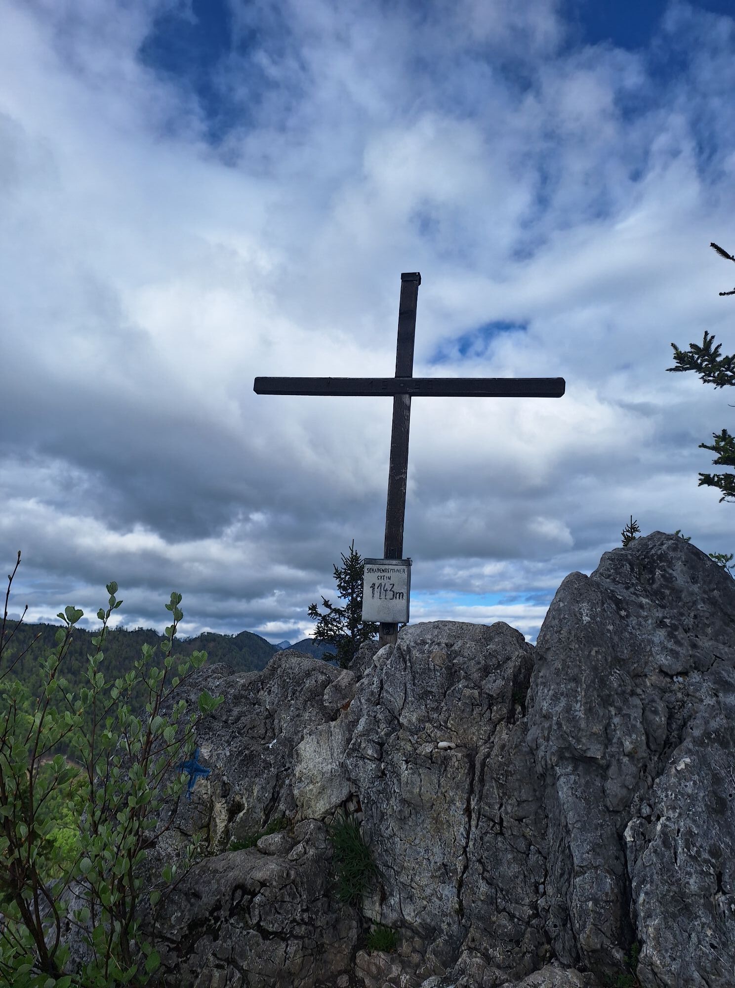
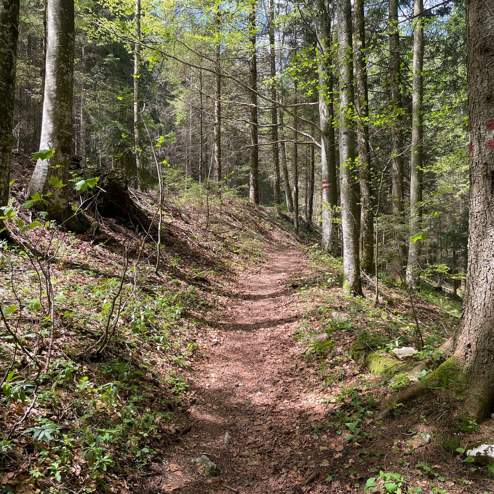
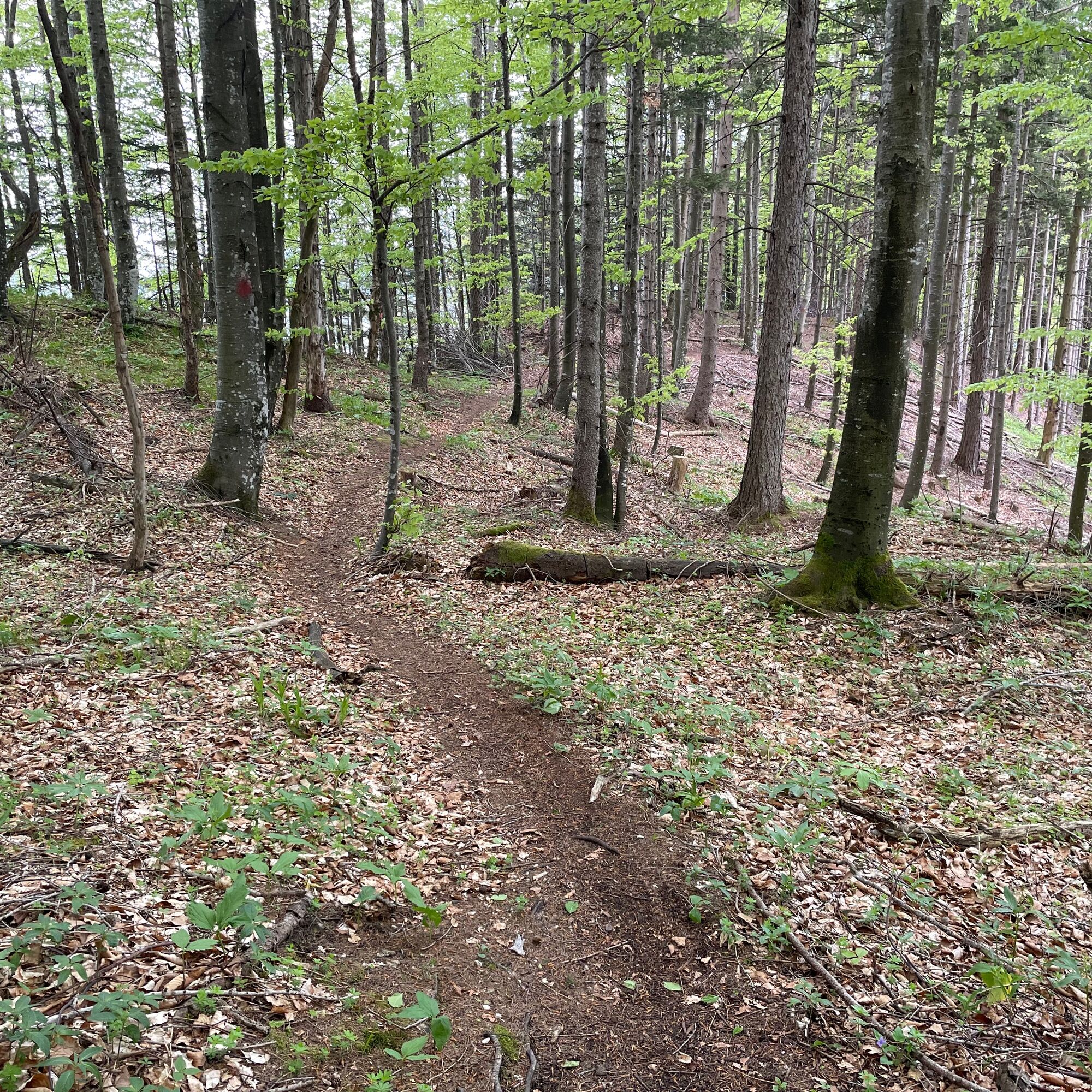
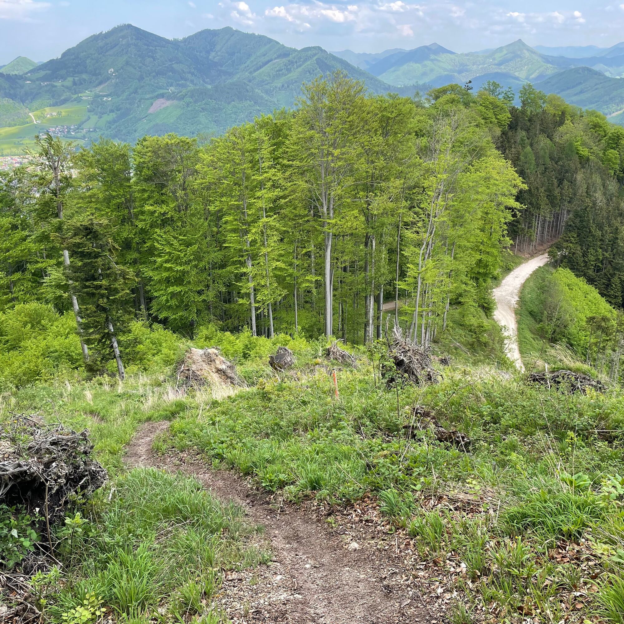
The return route leads on the same way left up to the Herrentisch and then about 800 m through the forest on an unmarked hunter's path down to a forest road. Here right and immediately left to the Sattelhald hunting lodge. Straight ahead again, back into the forest, uphill towards the Schabenreitnerstein. After about 300 m, continue left to the summit. The same way back and at the point where you ascend to the right, continue straight along the ridge down to the intersection with a forest road. This is crossed and half right it continues on a forest track towards Thurnhamberg. Shortly after, somewhat hidden, turn left and go steadily downhill. After the second crossing of a forest road, it goes briefly uphill and soon downhill again. The next forest road is followed left until after about 500m it goes left uphill again and still a loop to the 3S bench. Here turn around and run on the forest road to the next intersection. There turn left downhill towards Micheldorf airport. This is reached after about 1.2 km. After the company RIKA, continue left to the district Heiligenkreuz and back to the starting point
The required equipment always depends on the respective route and weather conditions. Regarding provisions: This is very individual, and it is advisable to carry more rather than less in terms of equipment and provisions. A 5 km round in the valley requires less than a demanding tour in the mountains. The weather can change quickly, and if you are not constantly moving or need to take a break, for example, warm clothing is of great importance.
We have a general checklist here for you:
Weather-appropriate running clothes for the respective season – weather forecast – region – altitude. This includes, among others:* a waterproof rain jacket
* waterproof rain pants suitable for running
* gloves and warm headgear (beanie/headband/tube scarf)
* sunglasses + sunscreen + headgear for very warm days Trail running shoes Water bottles, soft flasks, or a hydration bladder with enough fluid for the respective tour (if necessary also salt tablets/magnesium) Snacks for an energy boost in between: energy bars, gels, chocolate, trail mix, Running backpack: ideally a trail running vest / a trail running backpack or a waist belt for small tours. Dry pack: to keep your valuables or change of clothes dry (optionally a small garbage bag) Emergency blanket Small first aid kit. In my opinion, an Israeli bandage is highly recommended: a one-handed operated wound and pressure bandage. Details can be found here. Emergency whistle (often integrated in the trail backpack) Mobile phone Map material (online and/or offline) E-Card or insurance card Some cash Microspikes/spikes: these can be very helpful in winter and icy conditions. Folding poles for trail running Headlamp
This trail was run for us by Marcel and Harald Kaller
A beautiful trail route with great views. Partly on unmarked but well-trodden and easy-to-find paths.
Webové kamery z prehliadky
Získajte prehľad
Vždy naživo na mieste s viac ako 9 500 webovými kamerami. bergfex Ako používateľ Pro si teraz môžete pozrieť príslušné webové kamery pre mnohé zájazdy v aplikácii zájazdy z. Môžete si tak priamo prezerať aktuálne podmienky.
Aktivity počas prehliadky

Obľúbené výlety v okolí
-
4,6
Almseeweg / Grünau im Almtal
svetloTuristika 5,97 km -
4,7
Bergwanderung auf den Spering
strednáTuristika 7,50 km -
4,6
Hochsalm
strednáTuristika 8,50 km -
4,7
Windhagkogel (1334m)
strednáTuristika 10,4 km -
4,6
4 Gipfel Tour im Almtal Bräumauer, Maisenkögerl, Hutkogel und Hochsalm
strednáTuristika 9,80 km -
4,5
Rinnende Mauer - Gorge Trail
strednáTuristika 7,20 km -
4,2
Rinnerberger Waterfall - Gorge
strednáTuristika 7,55 km -
4,5
Hochberghaus - Spitzplaneck
svetloTuristika 11,5 km -
4,5
Steyrerhütte
strednáTuristika 14,3 km -
4,7
Kleiner und Großer Landsberg (3.7.2019) mit Sonnenuntergang
strednáTuristika 3,51 km
Turistika a stopovanie


Nenechajte si ujsť ponuky a inšpiráciu na ďalšiu dovolenku
Vaša e-mailová adresa bol pridaný do poštového zoznamu.





