


L3 Losenstein - Hohe Dirn Trail
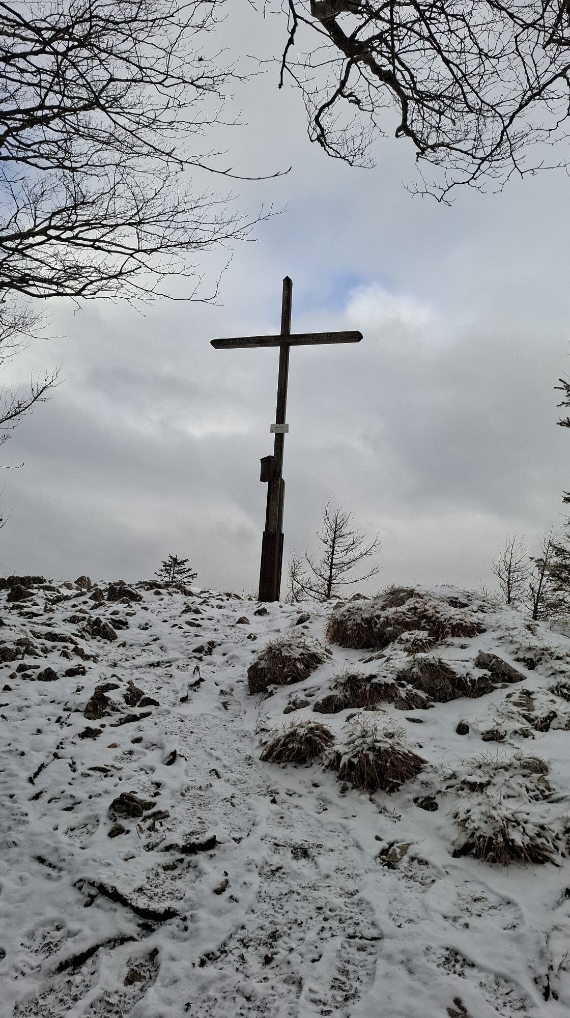
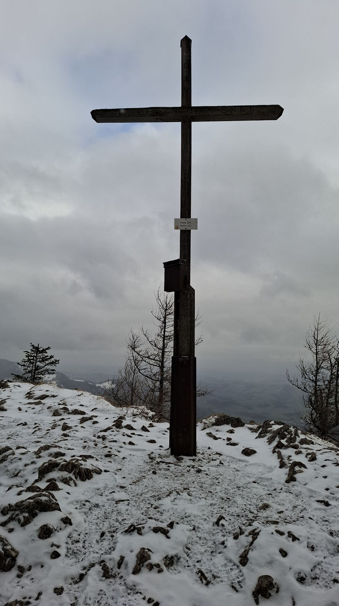
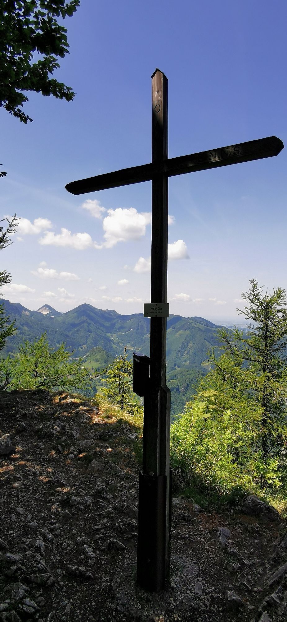
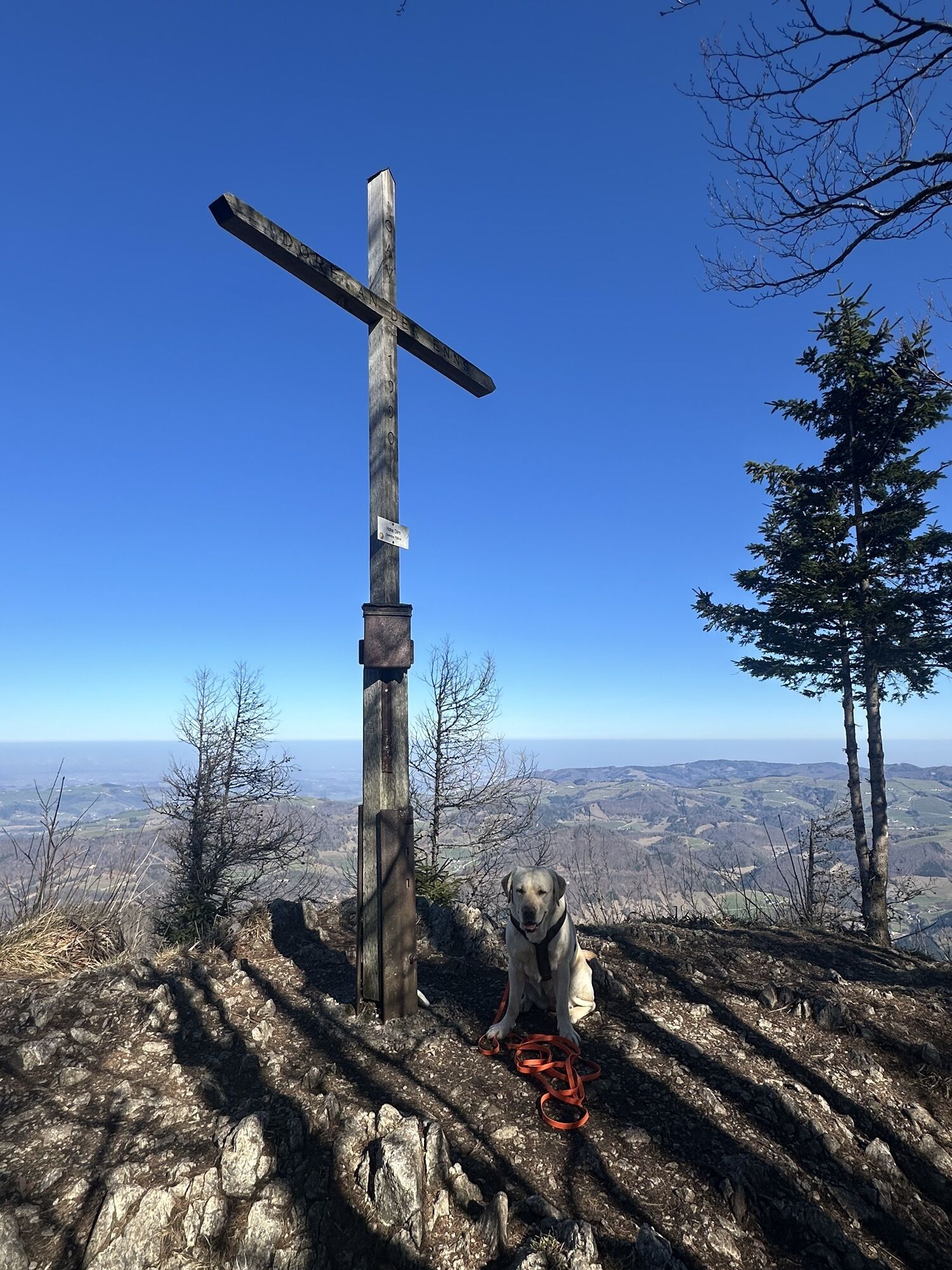
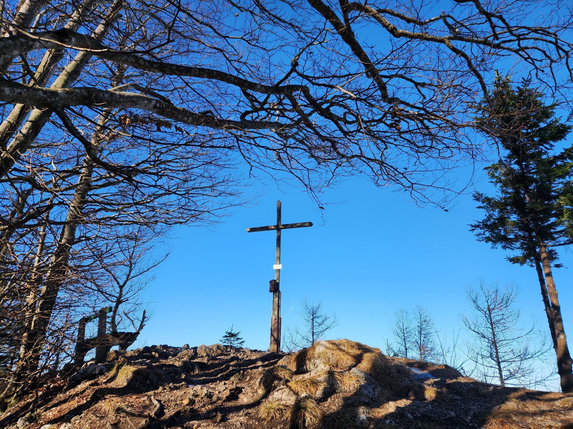
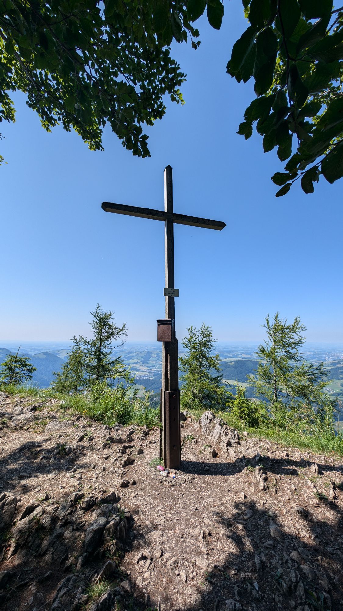
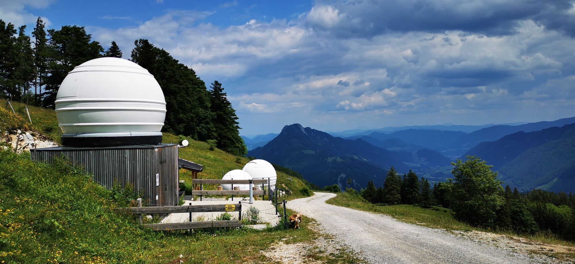


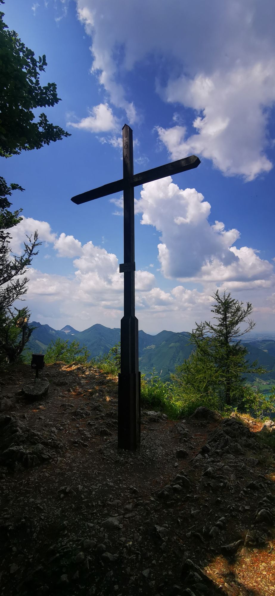
Up via the Klausgraben, then a nice, varied round on forest road and hiking trails/paths (HD5) up, past the observatories up to the summit cross Hohe Dirn. After the summit briefly back the same way and...
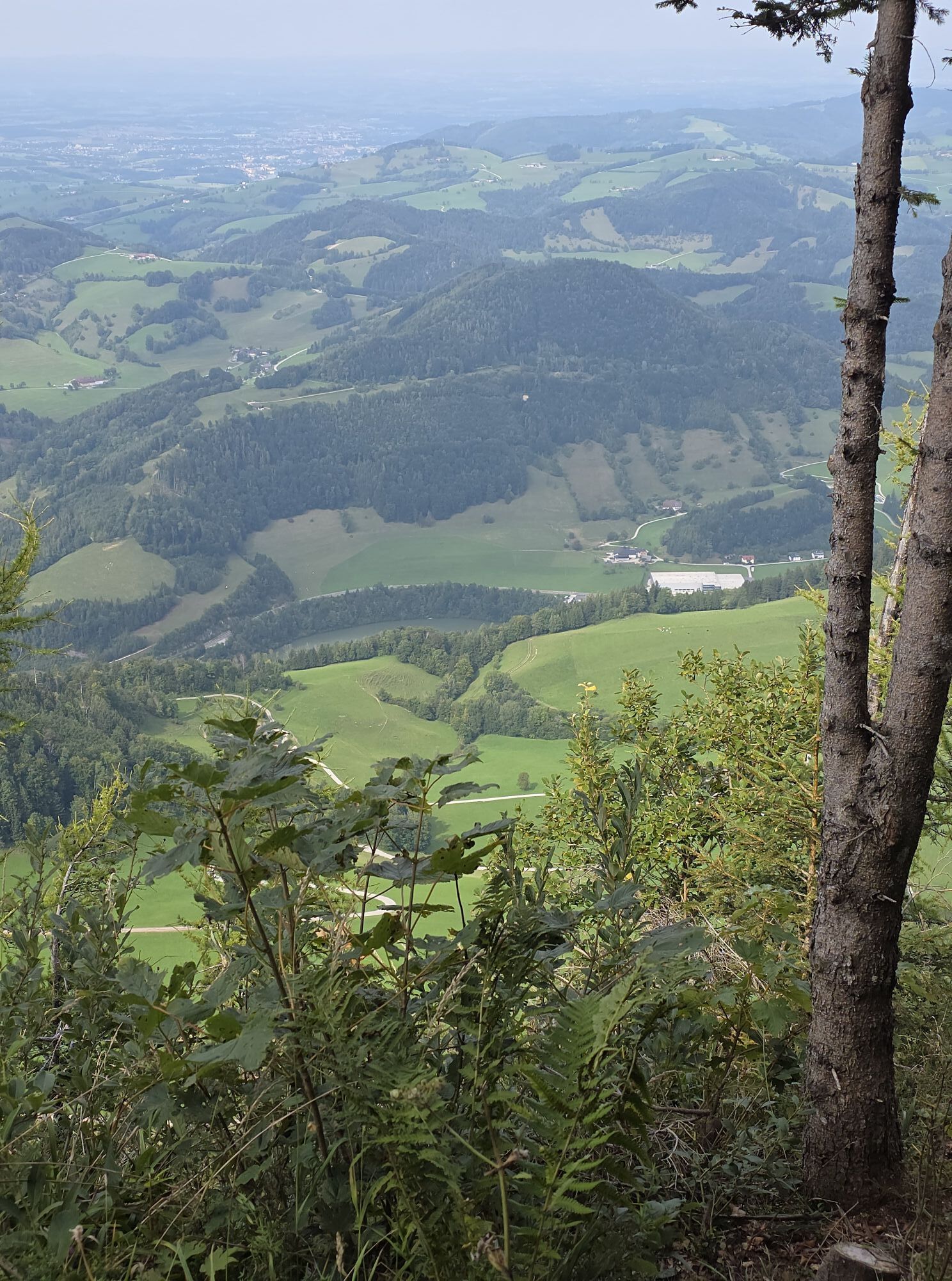
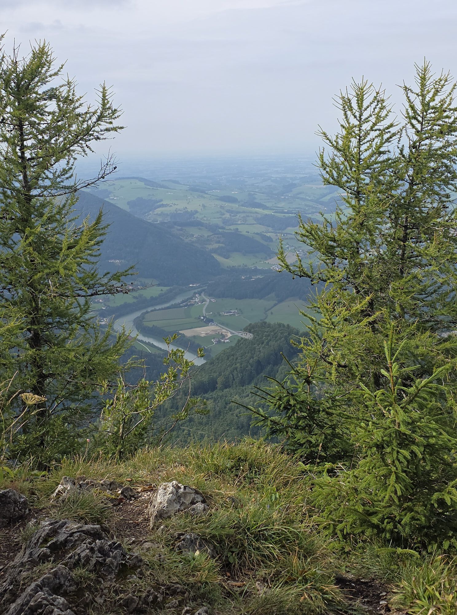
Up via the Klausgraben, then a nice, varied round on forest road and hiking trails/paths (HD5) up, past the observatories up to the summit cross Hohe Dirn. After the summit briefly back the same way and then steeply down to the left towards Hinstein (31/HD6), then a stretch of asphalt back to the Klausgraben and to the train station.

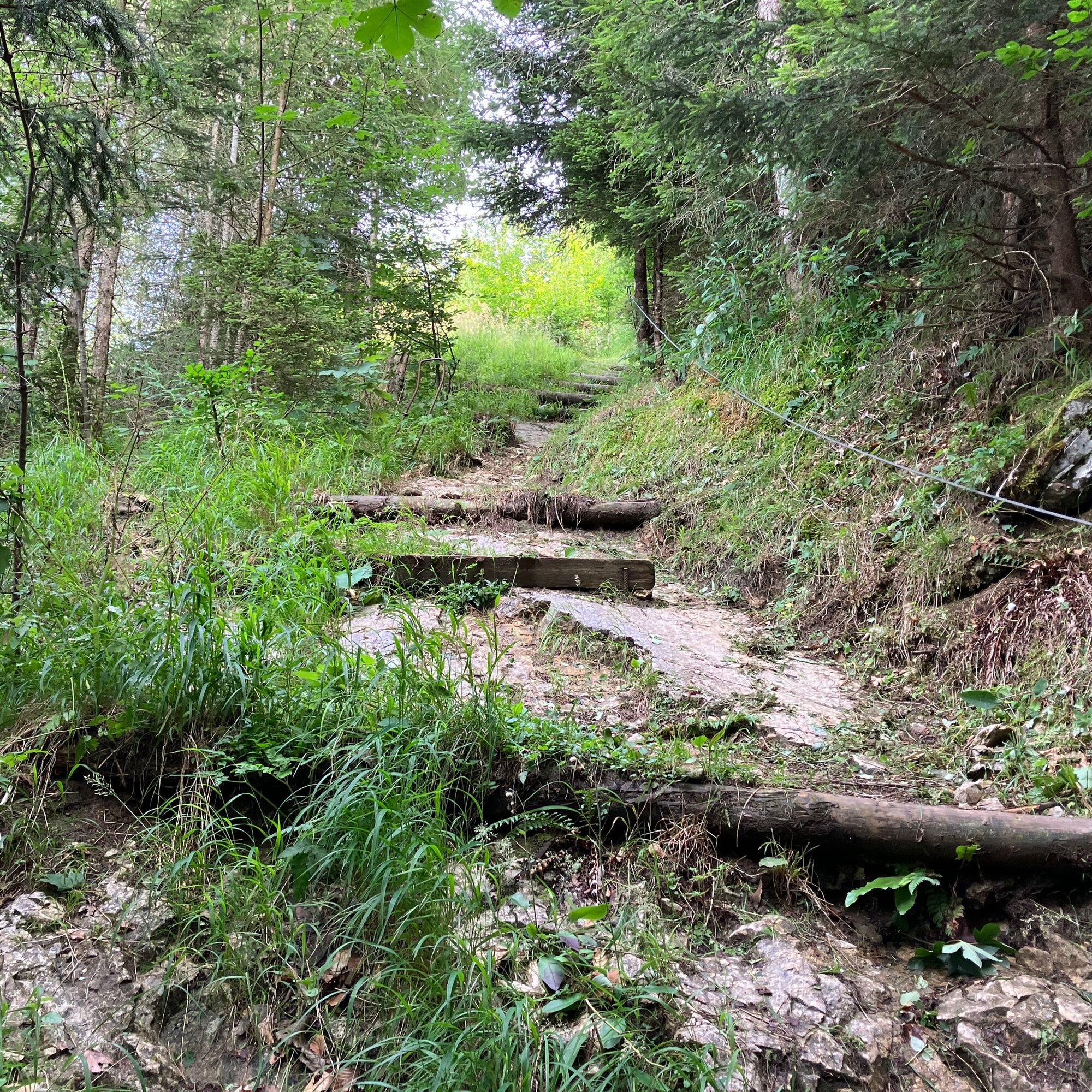
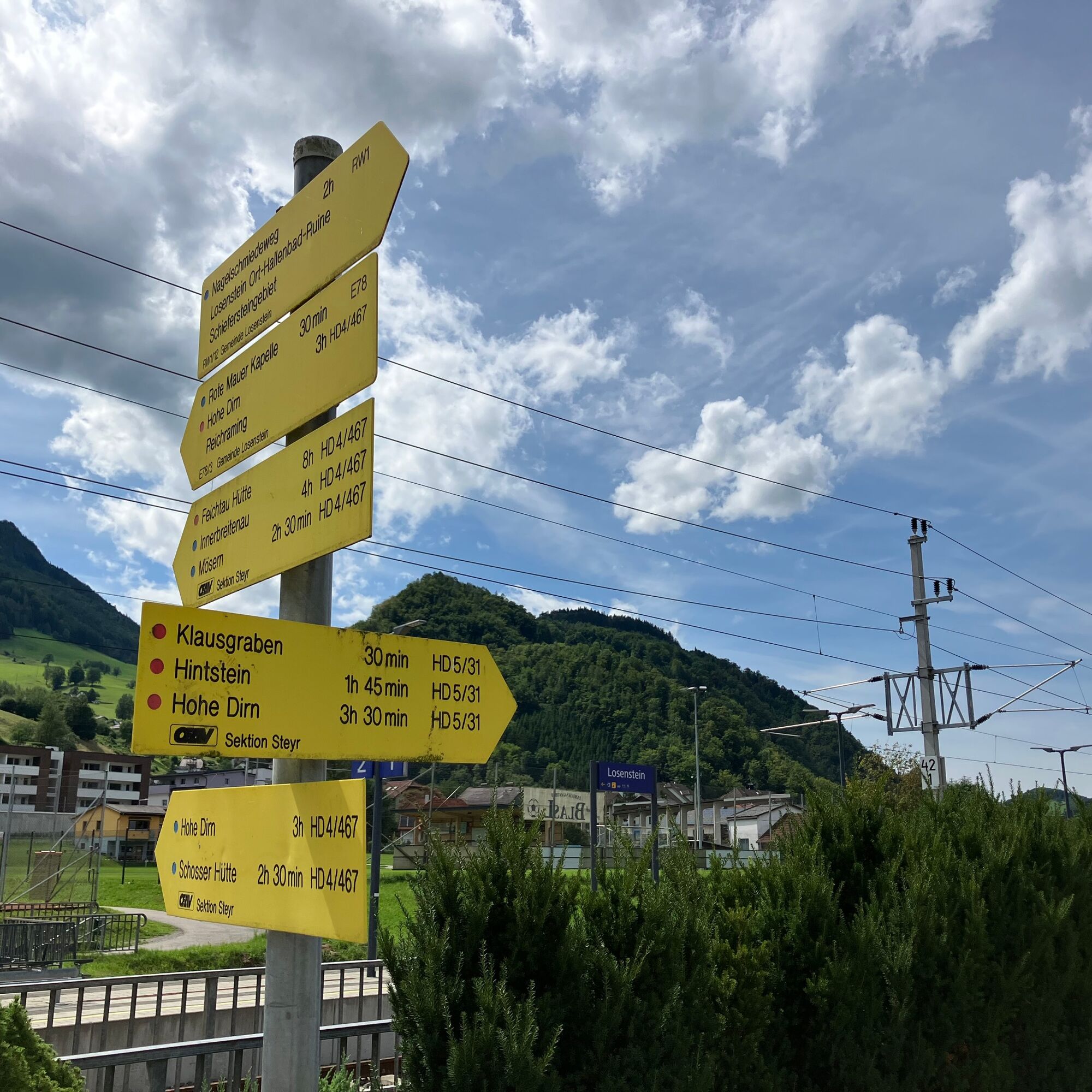
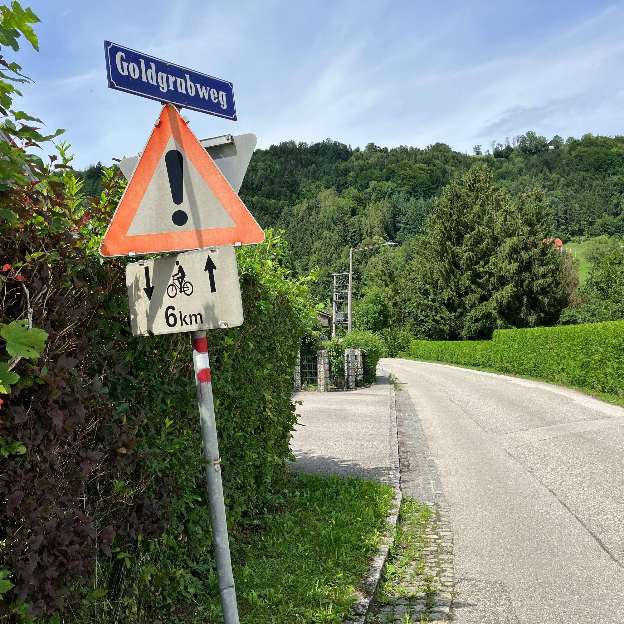
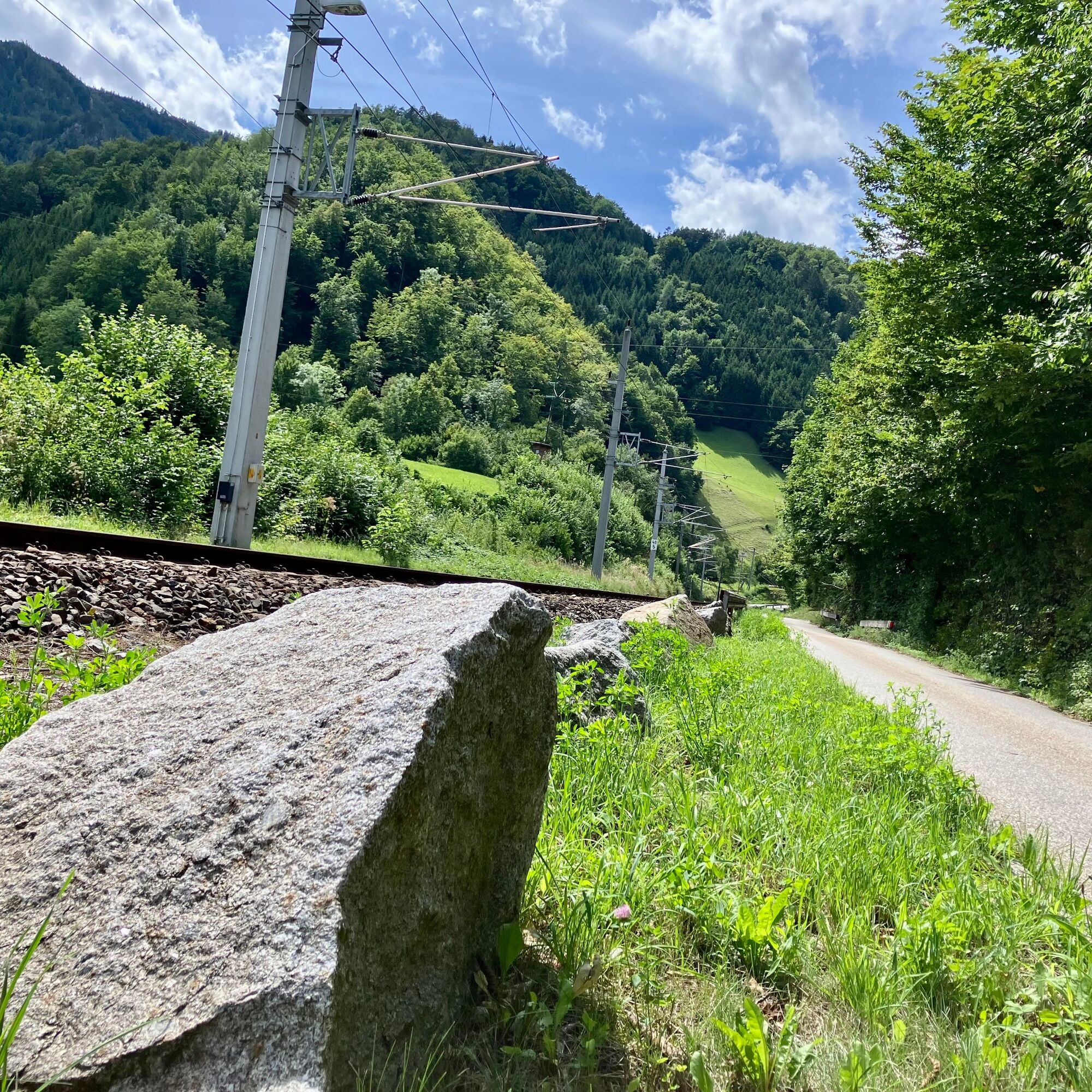
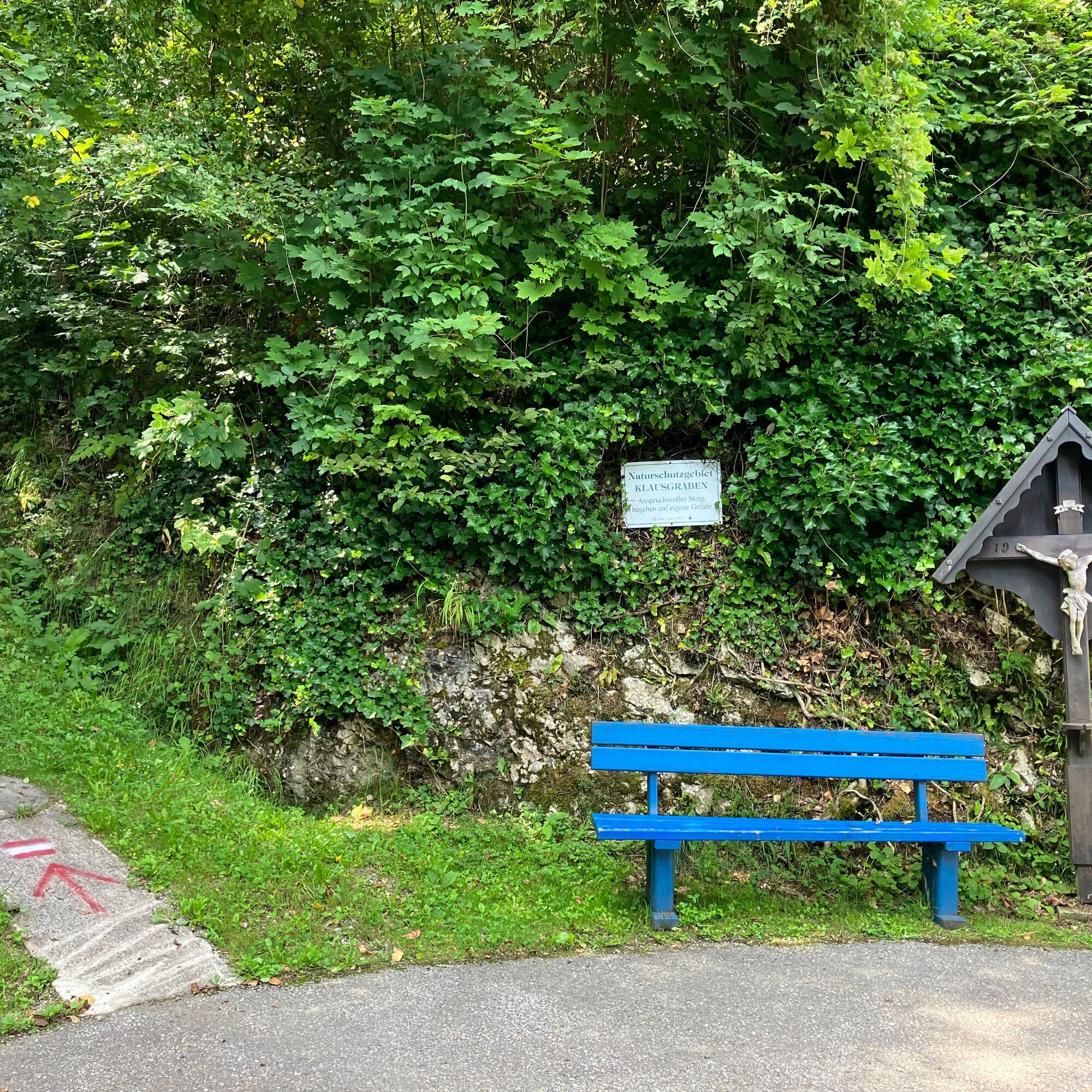
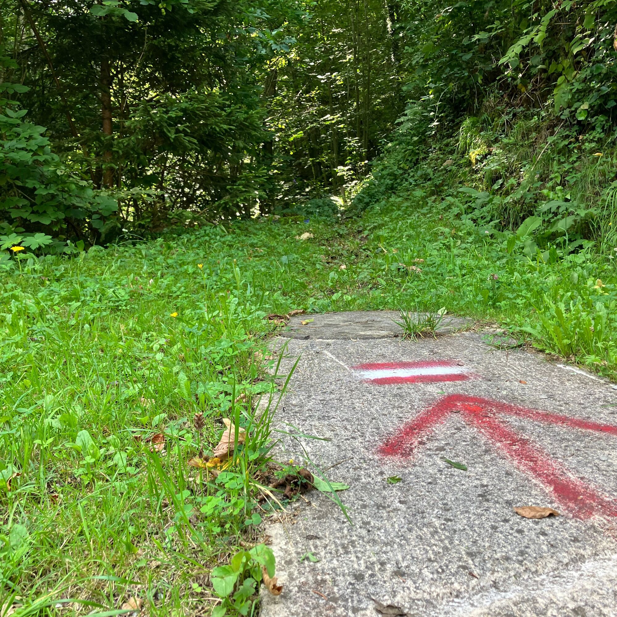
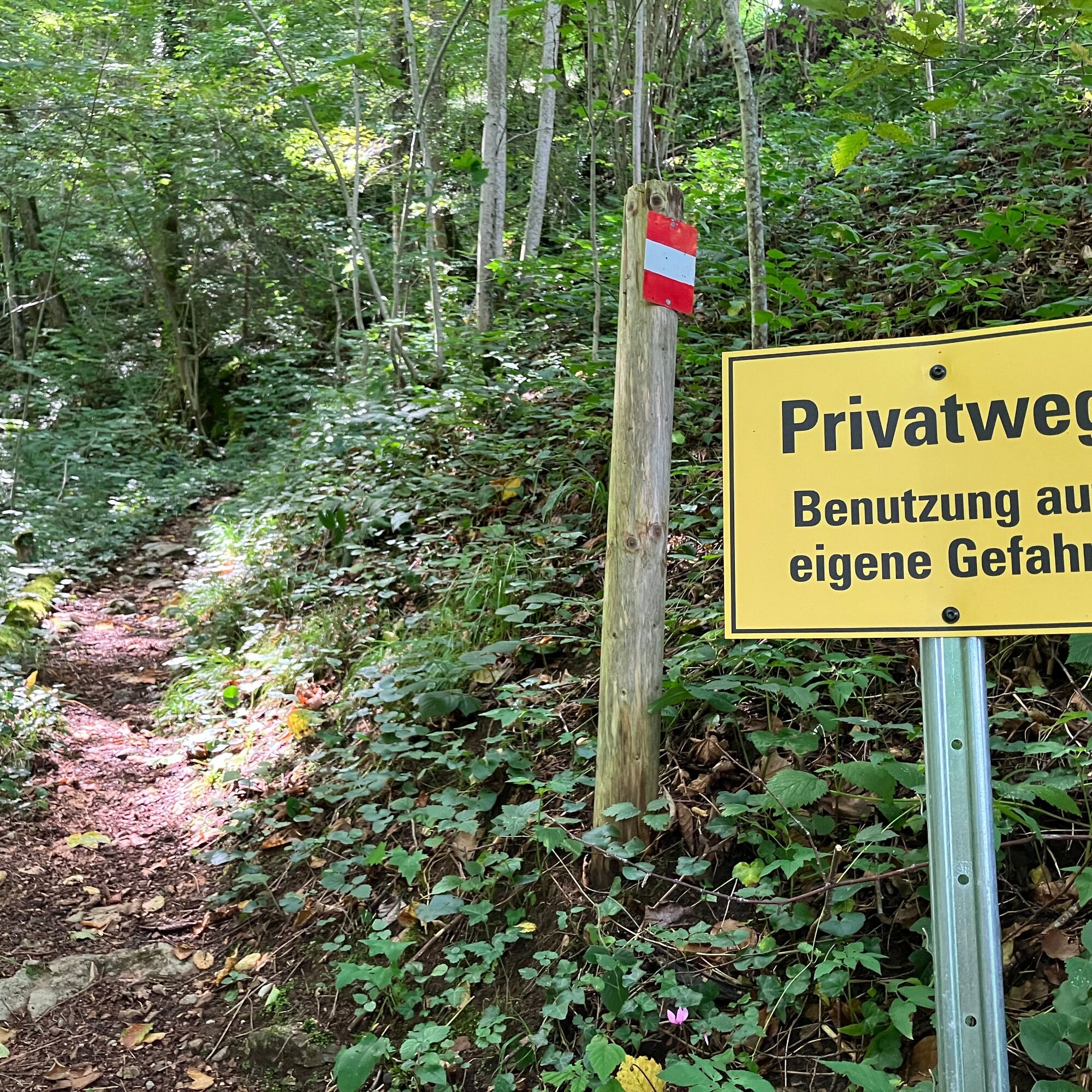
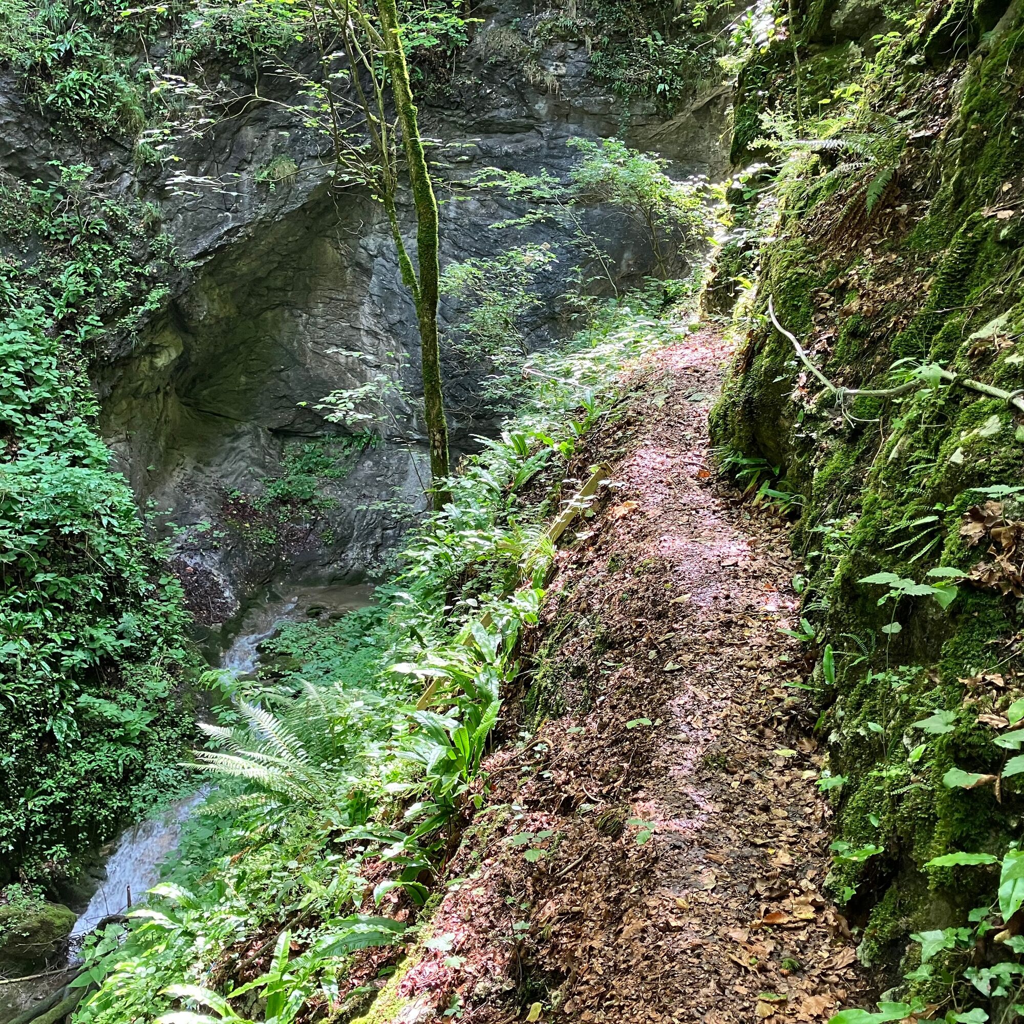
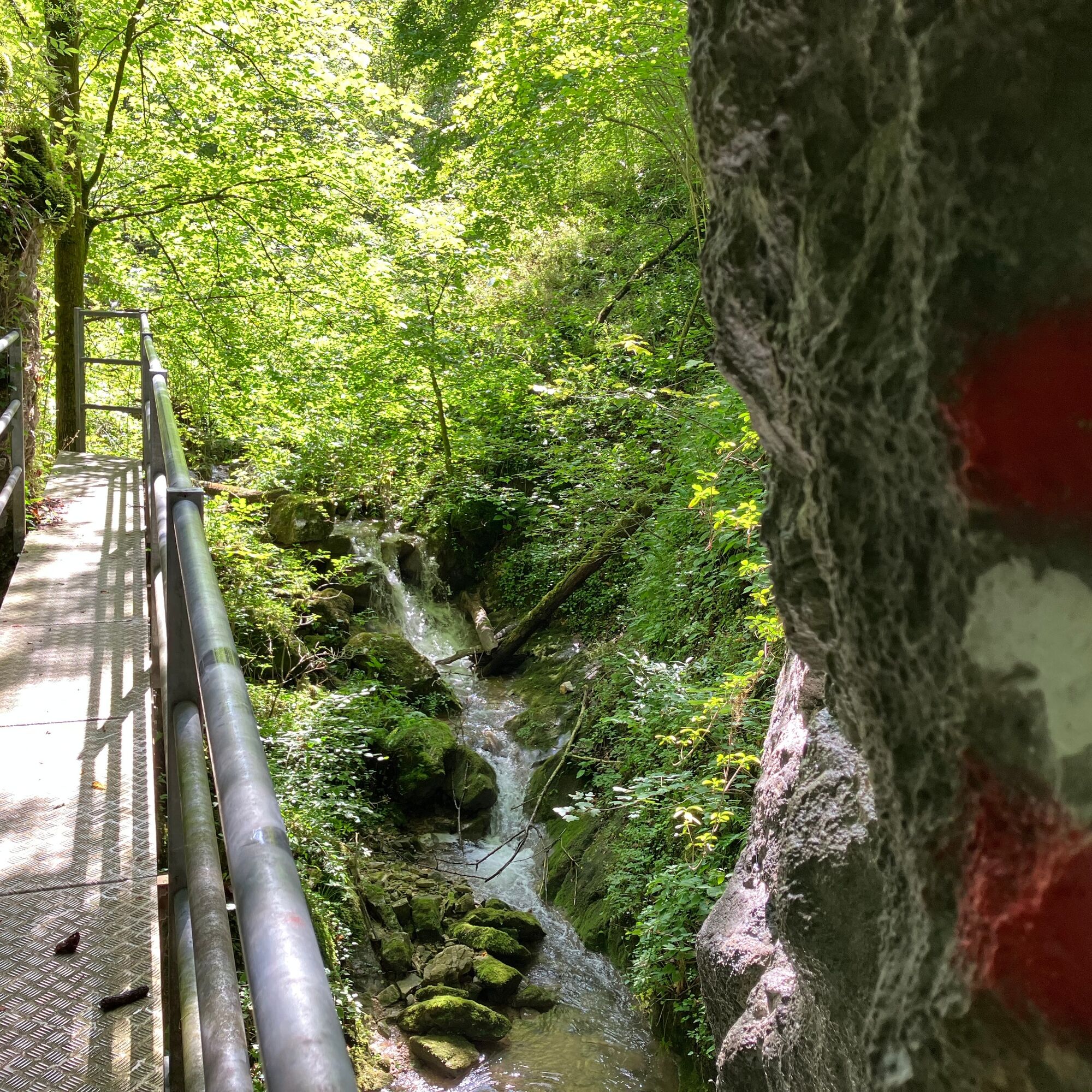
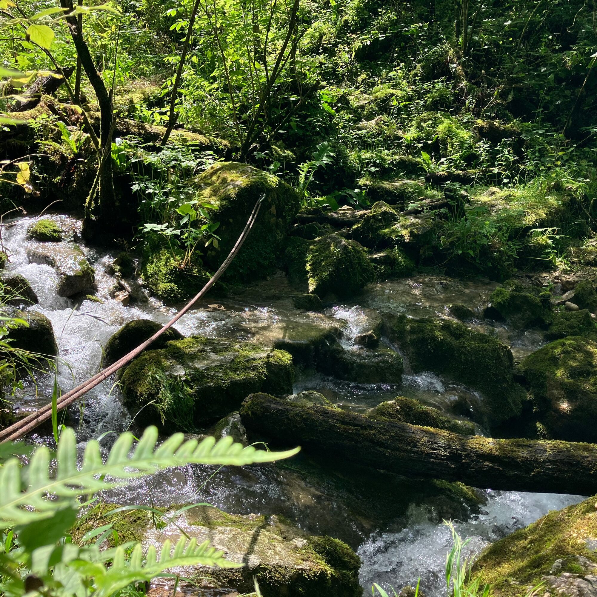
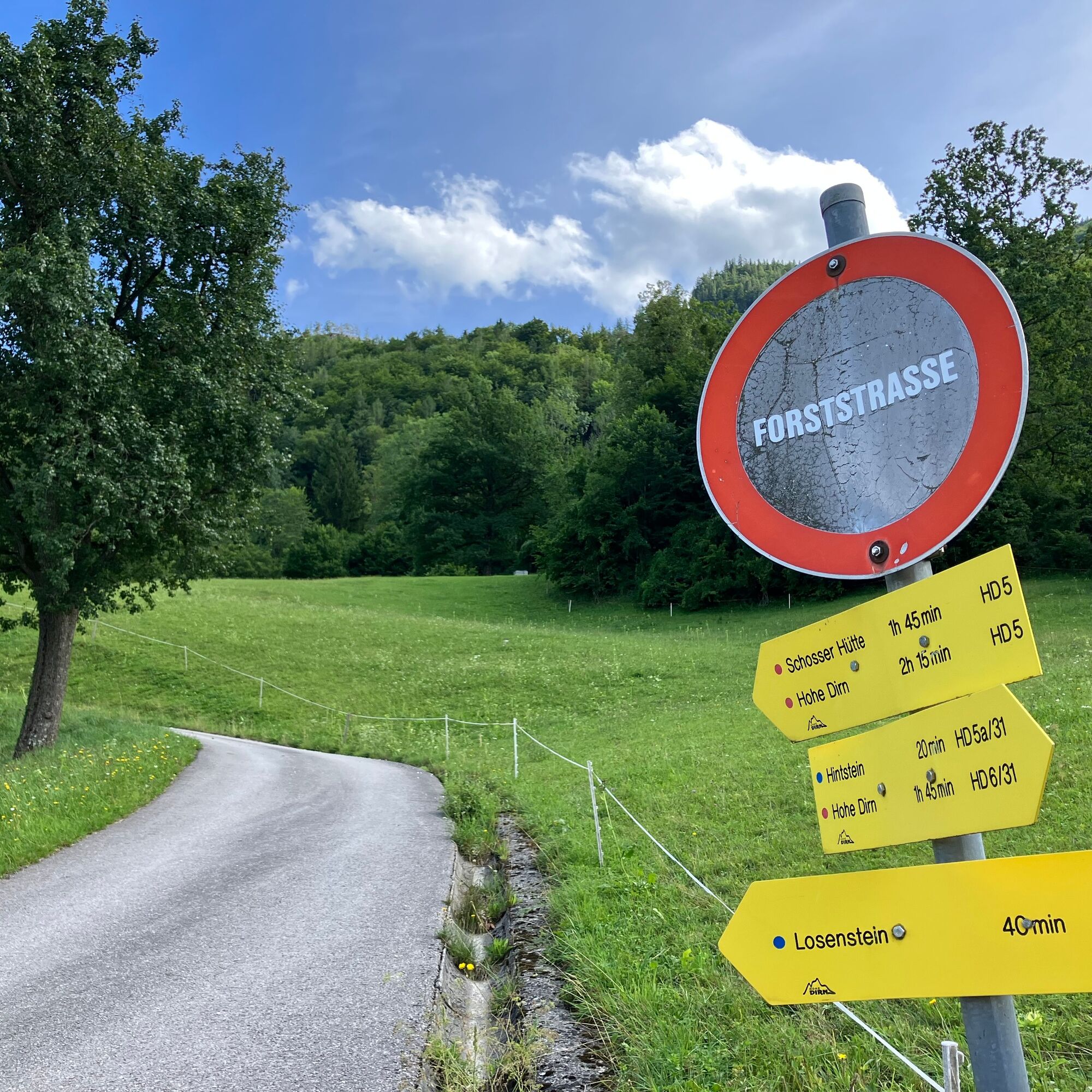
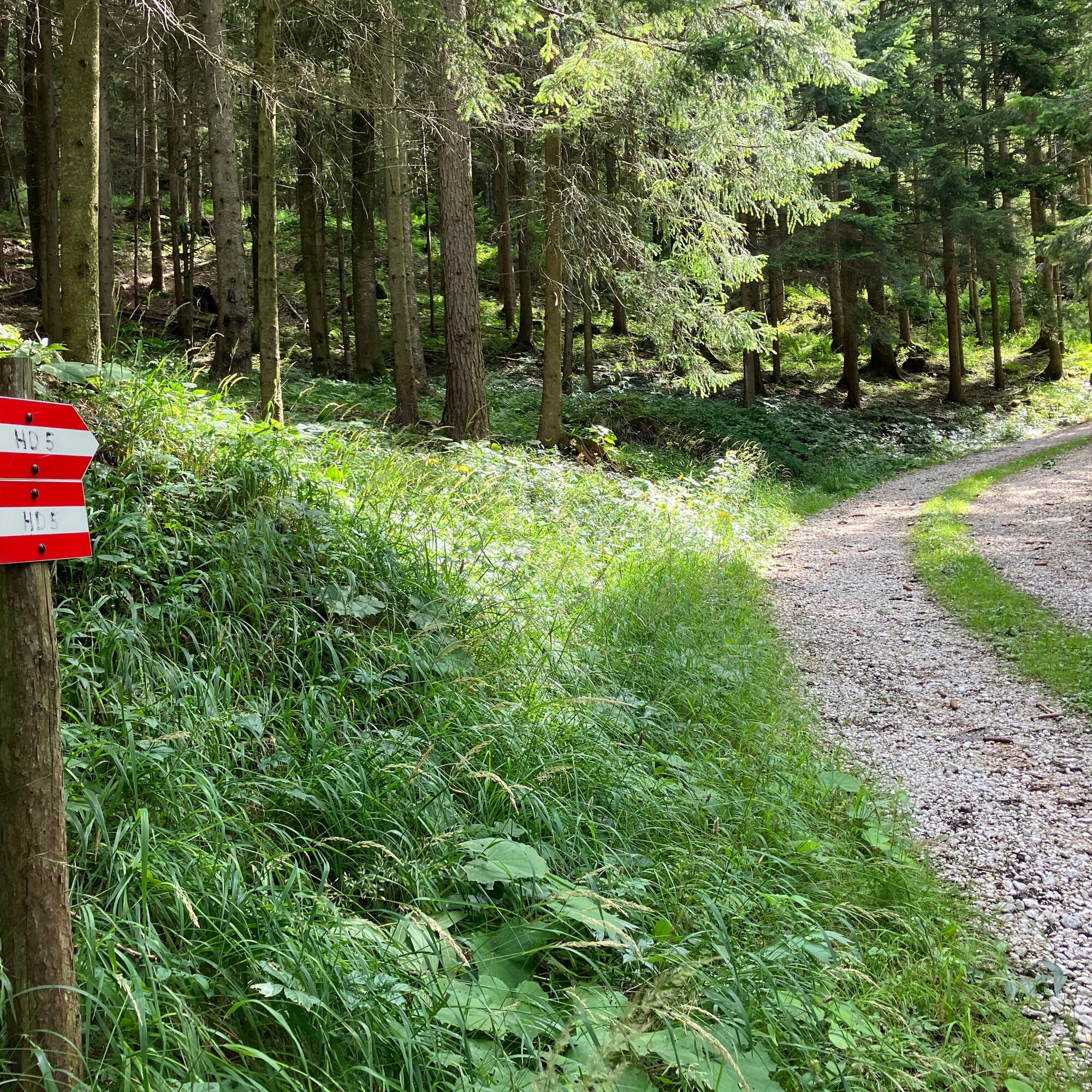
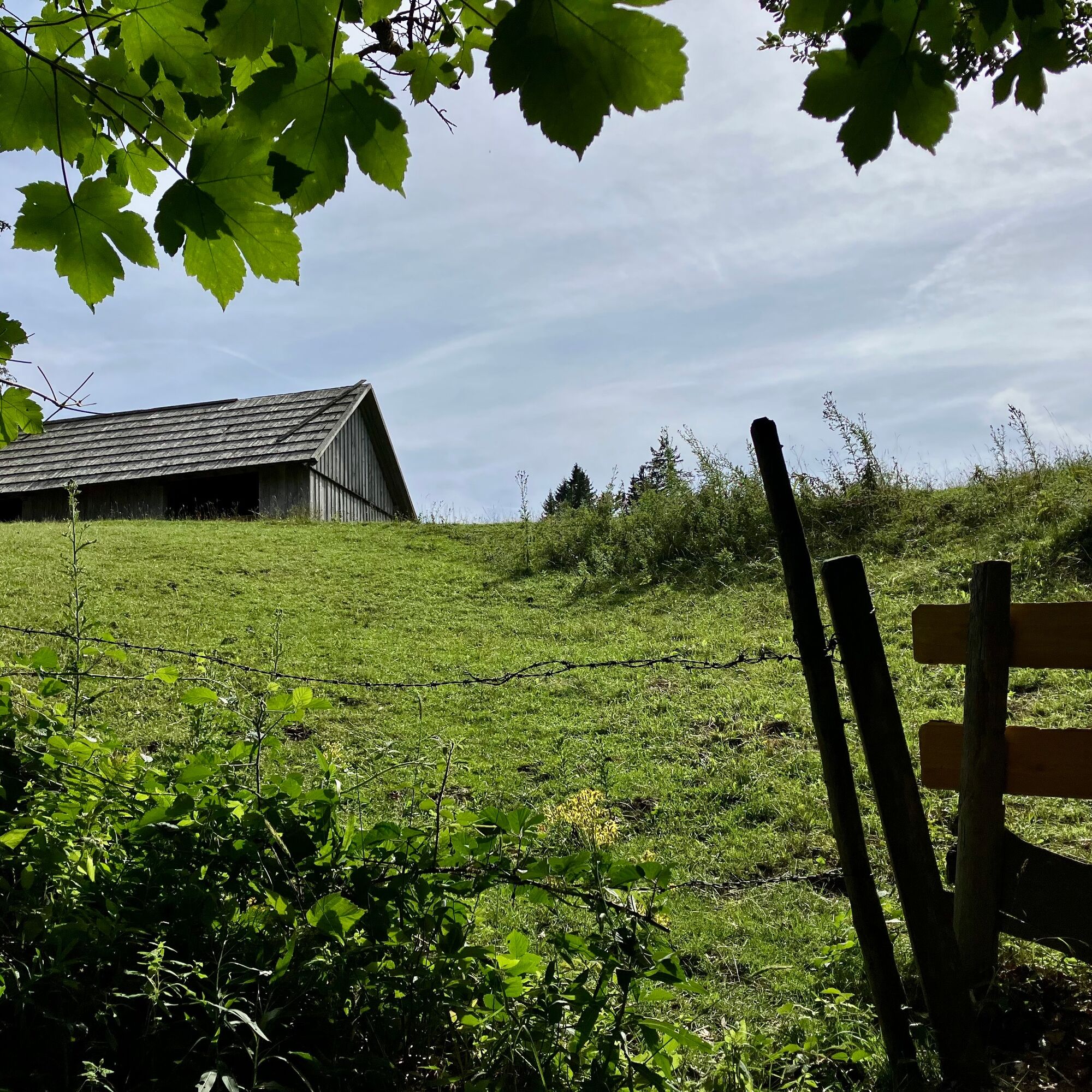
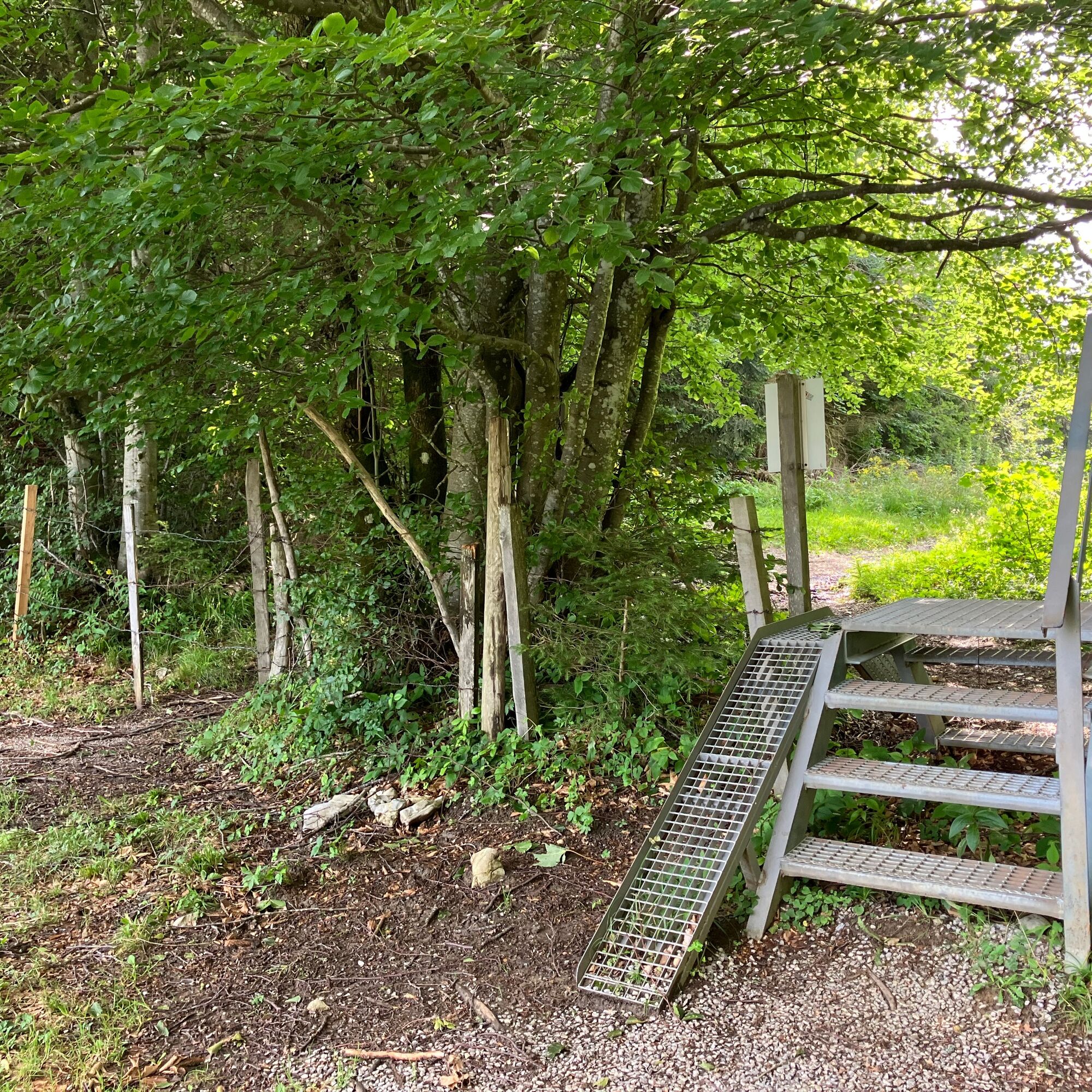
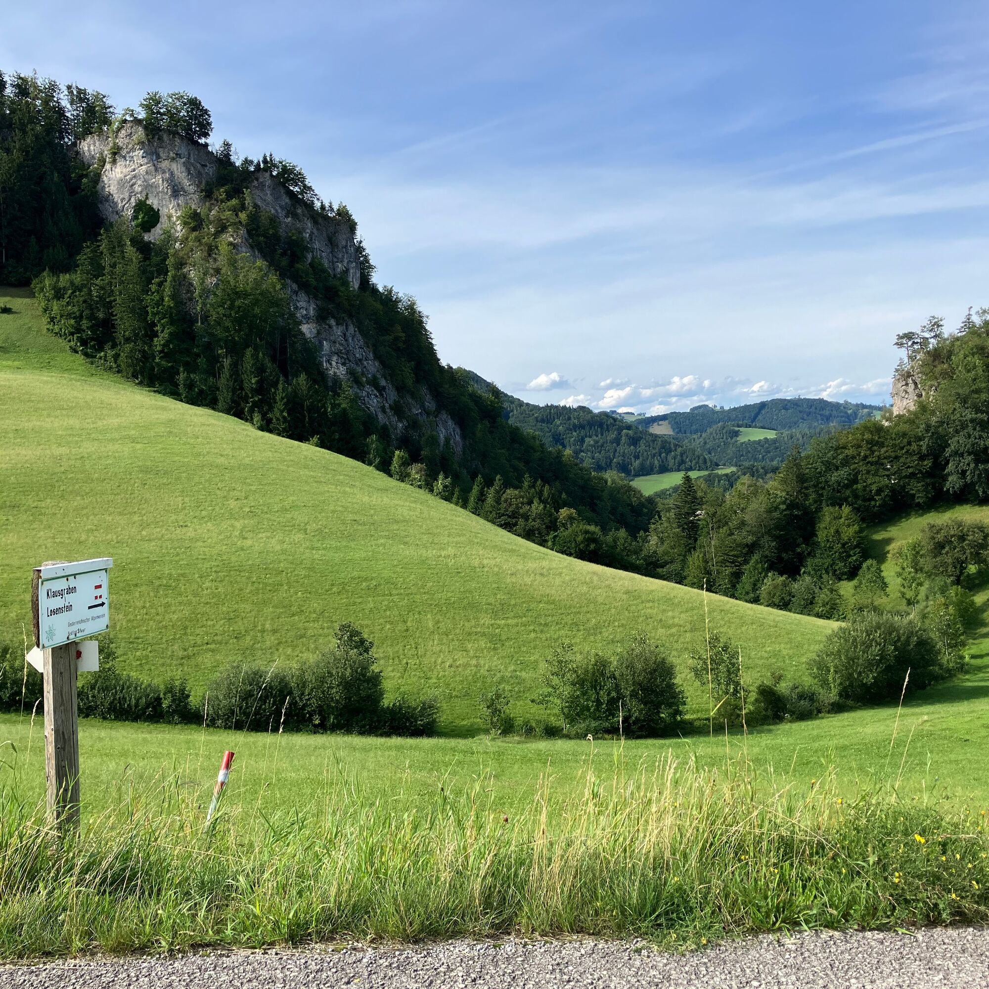
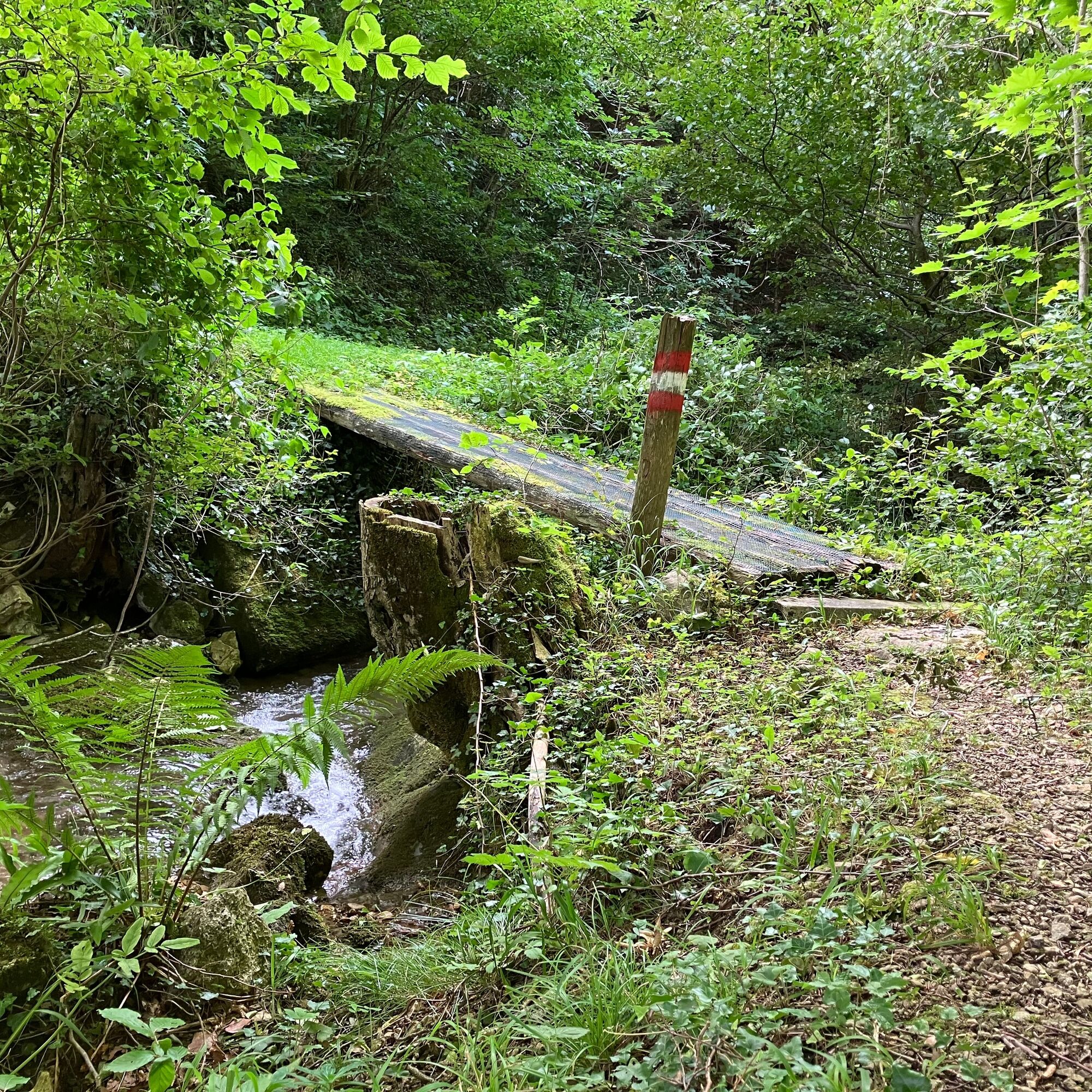
From Losenstein train station turn left from Gasthaus Blasl onto the street and then turn right (Goldgrubweg). Follow this street along the tracks, leaving the warehouse and settlement behind you, continuing until a farmhouse stands on the left. Here follow the signs of the hiking trail left in front of the house, until shortly before the next (and last house of the street) where the steep path 'Klausgraben' branches off to the left upwards. Through this small gorge including several creek crossings and then continue following the path left of the stream along the meadow until the path steeply branches off to the left over the meadow to the street. Here keep right and stay on the street until the hiking trail branches left onto a forest road (hiking trail Schosser Hütte / Hohe Dirn HD5).
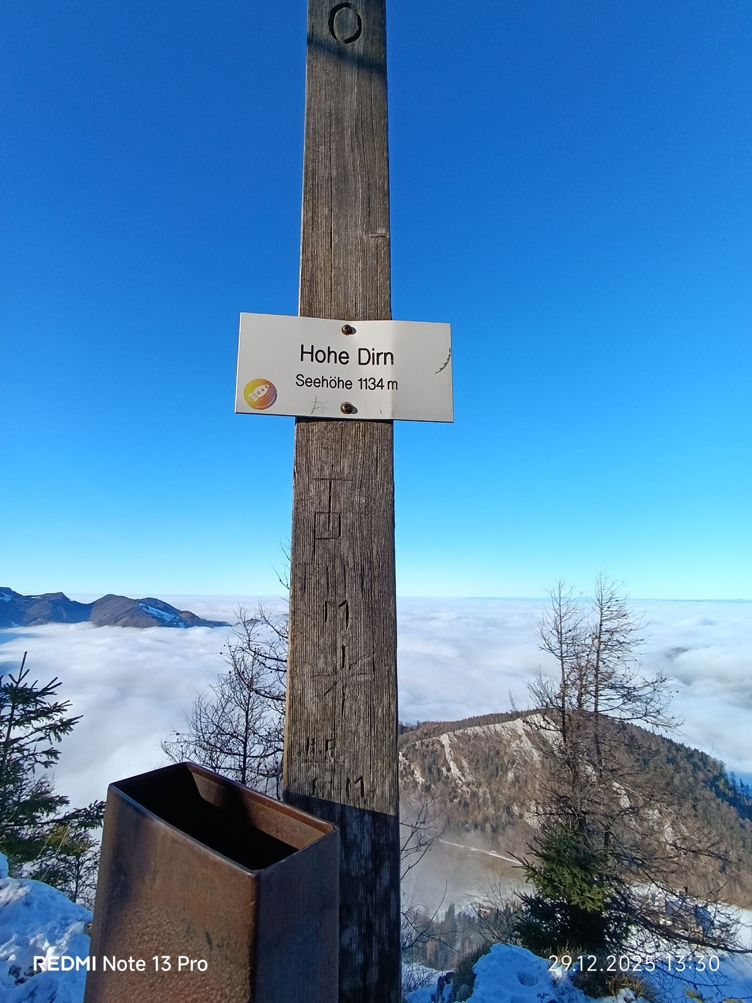
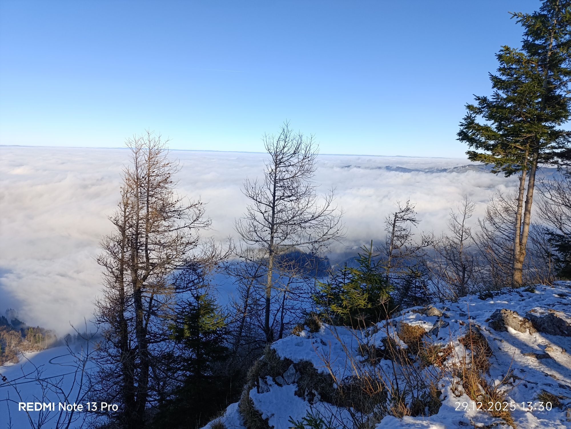
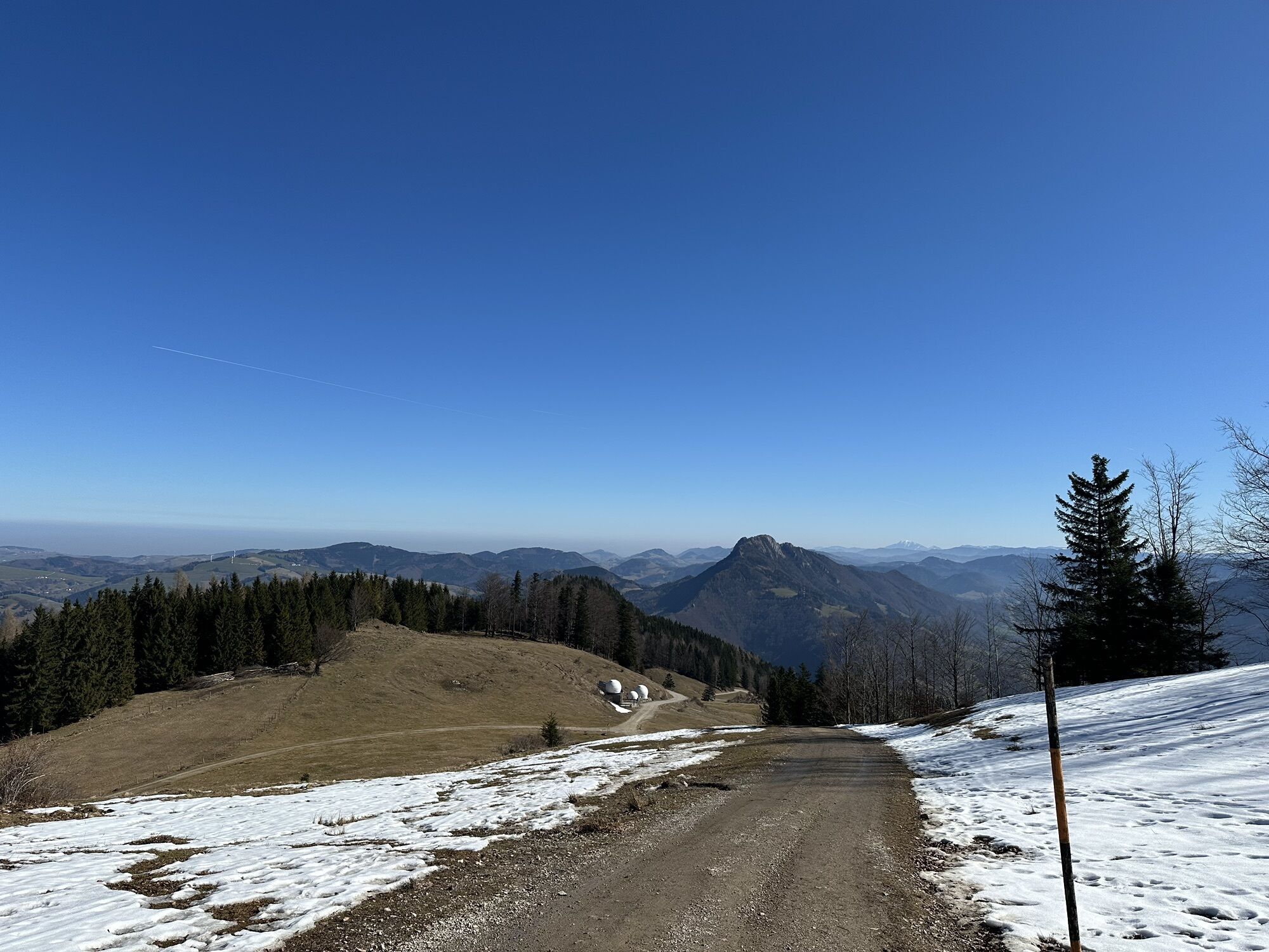
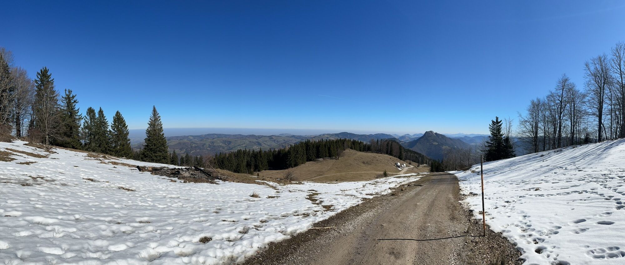
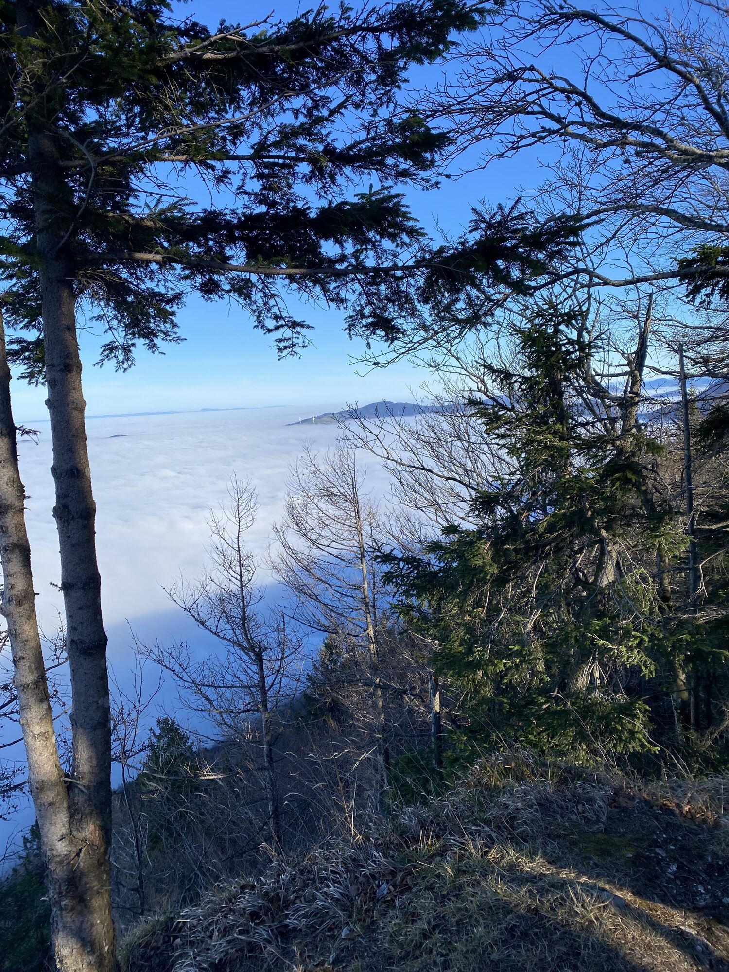
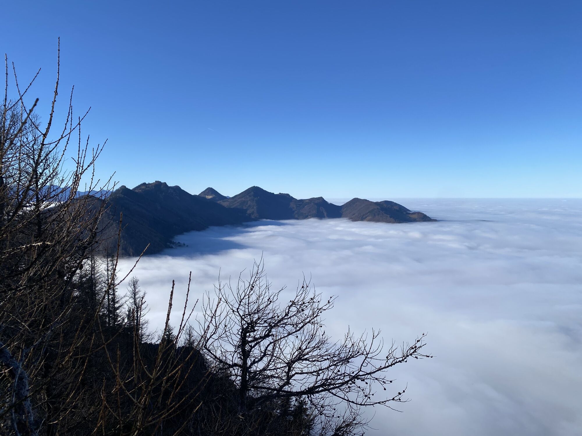
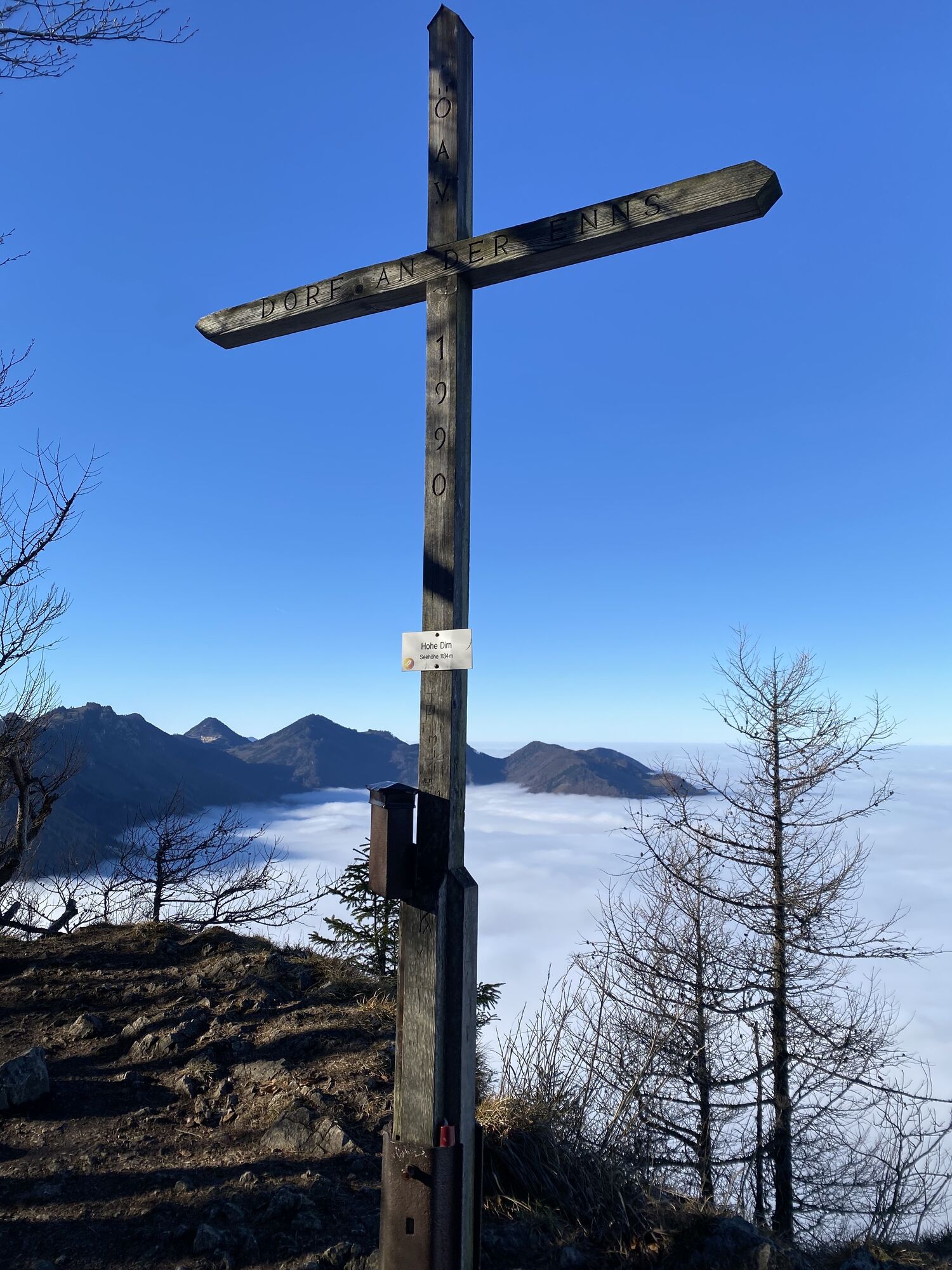
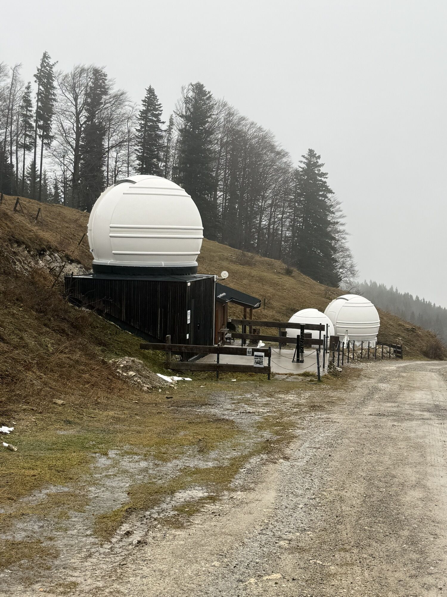
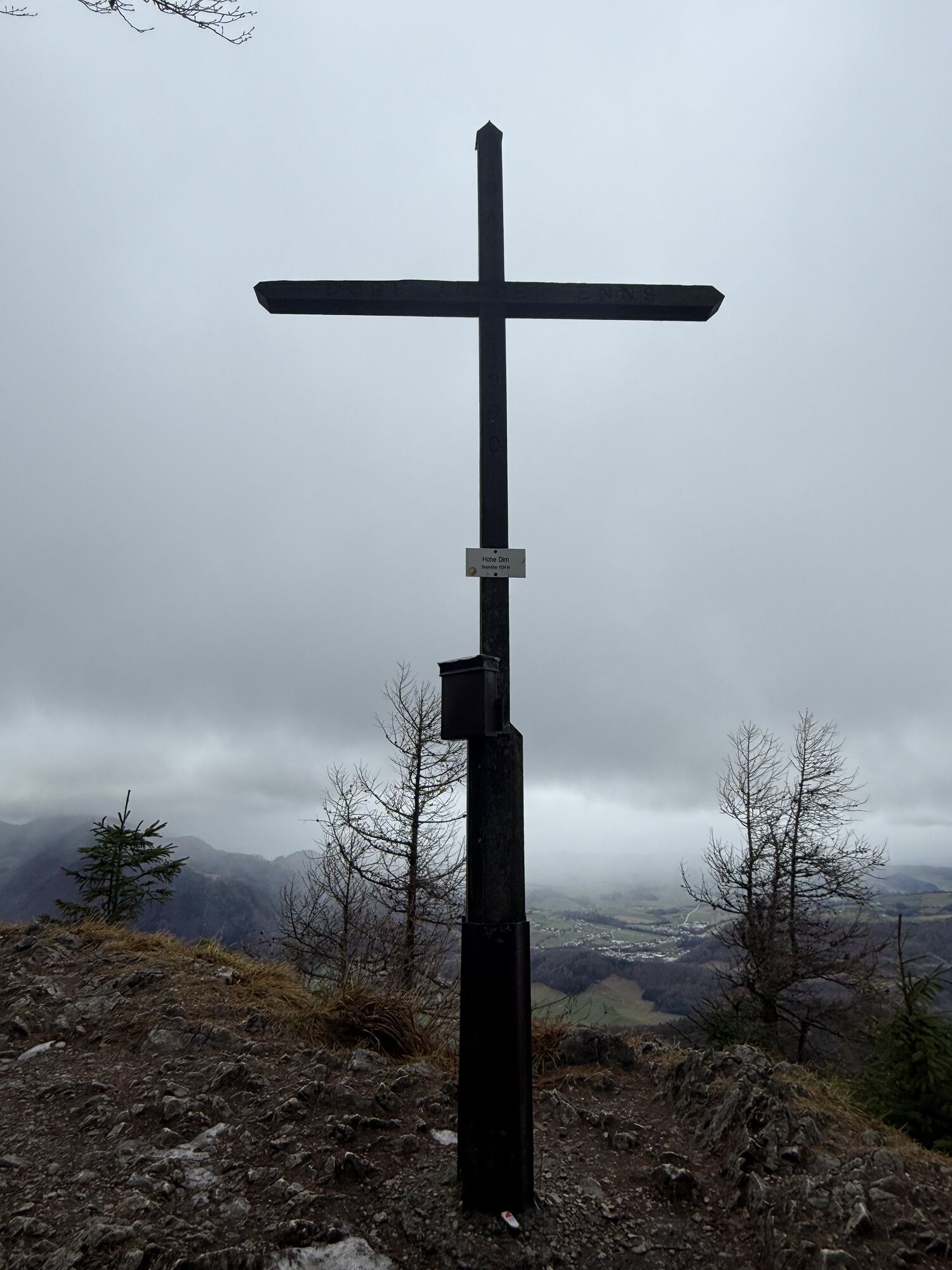
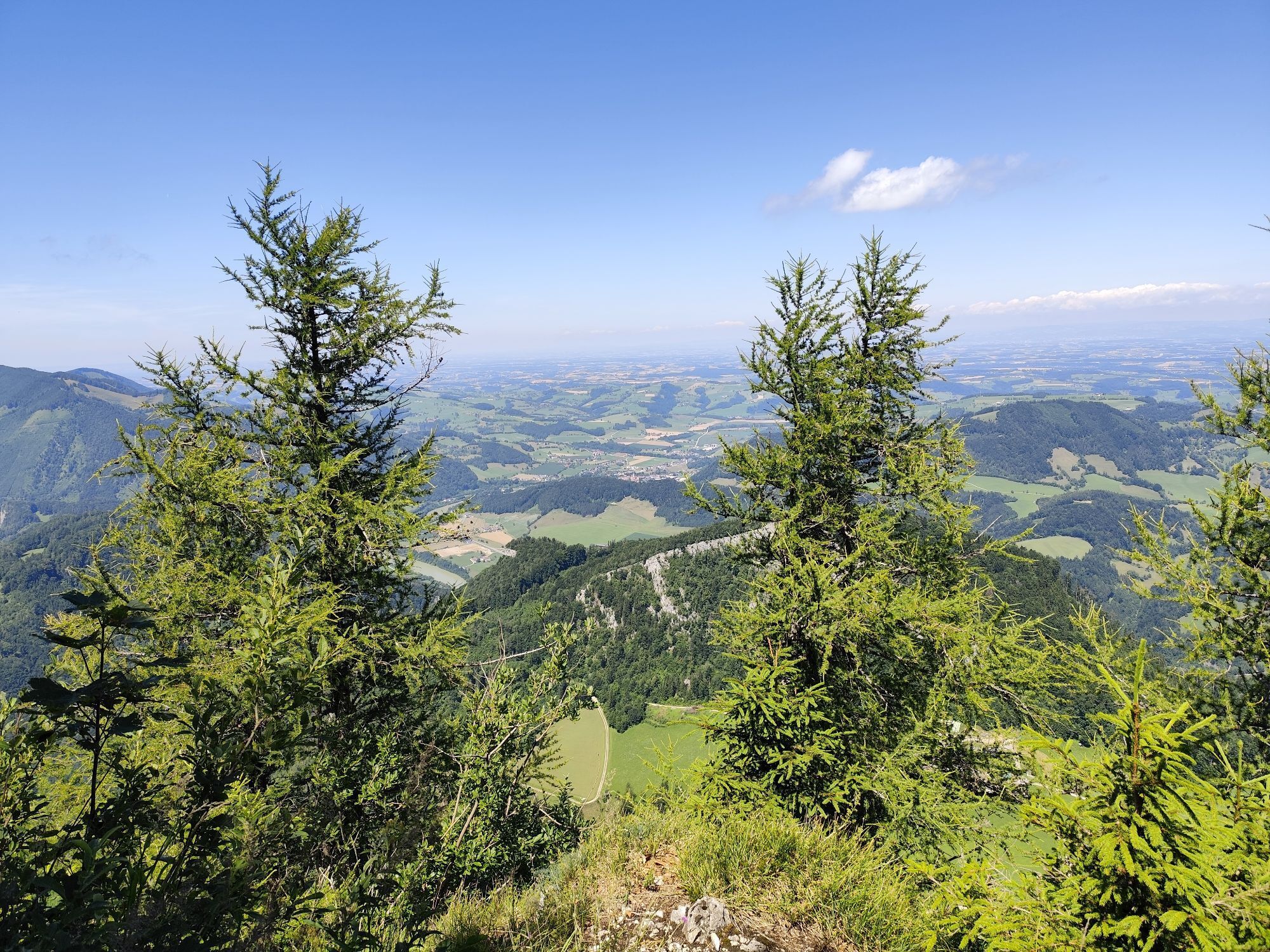
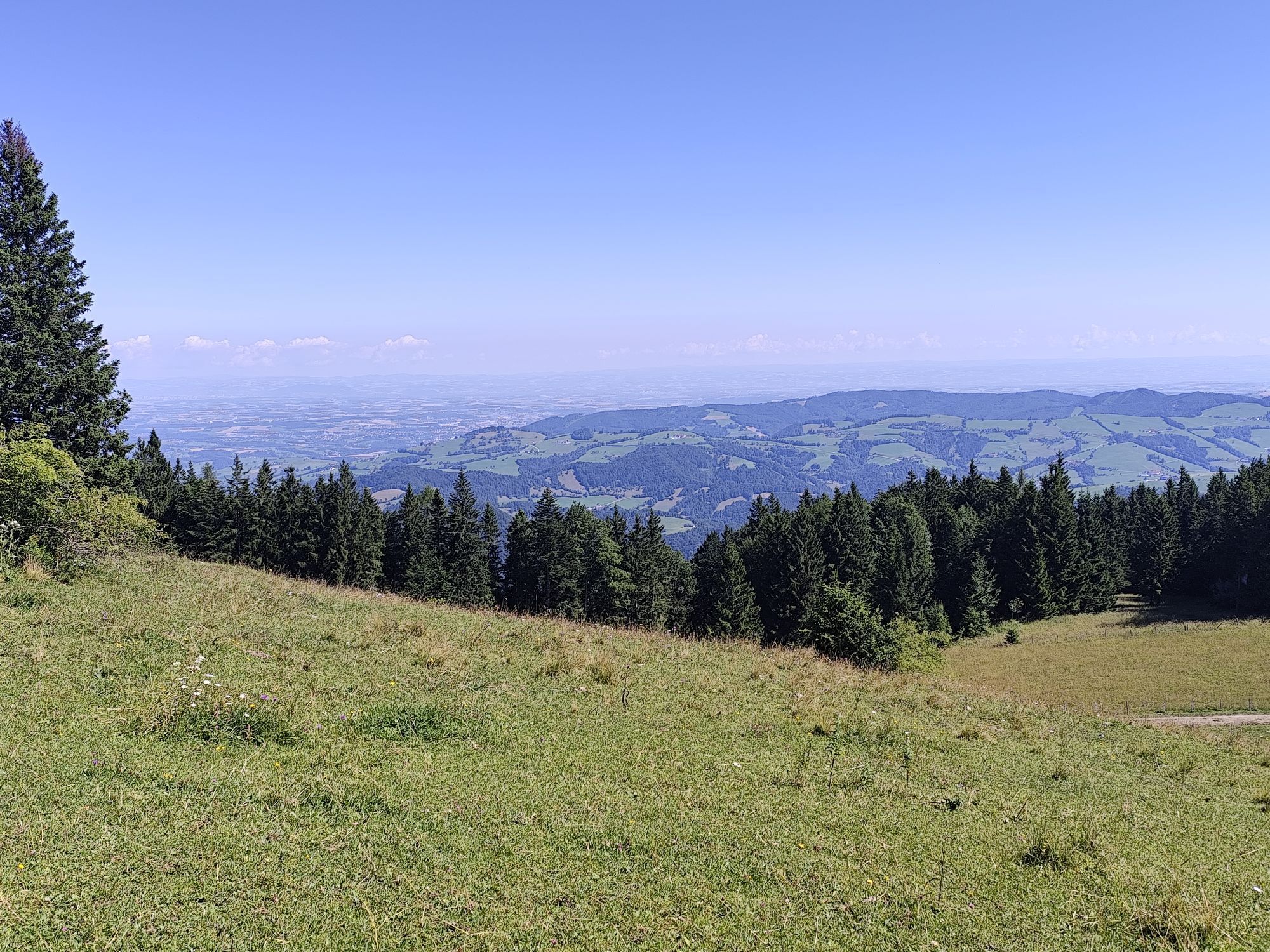
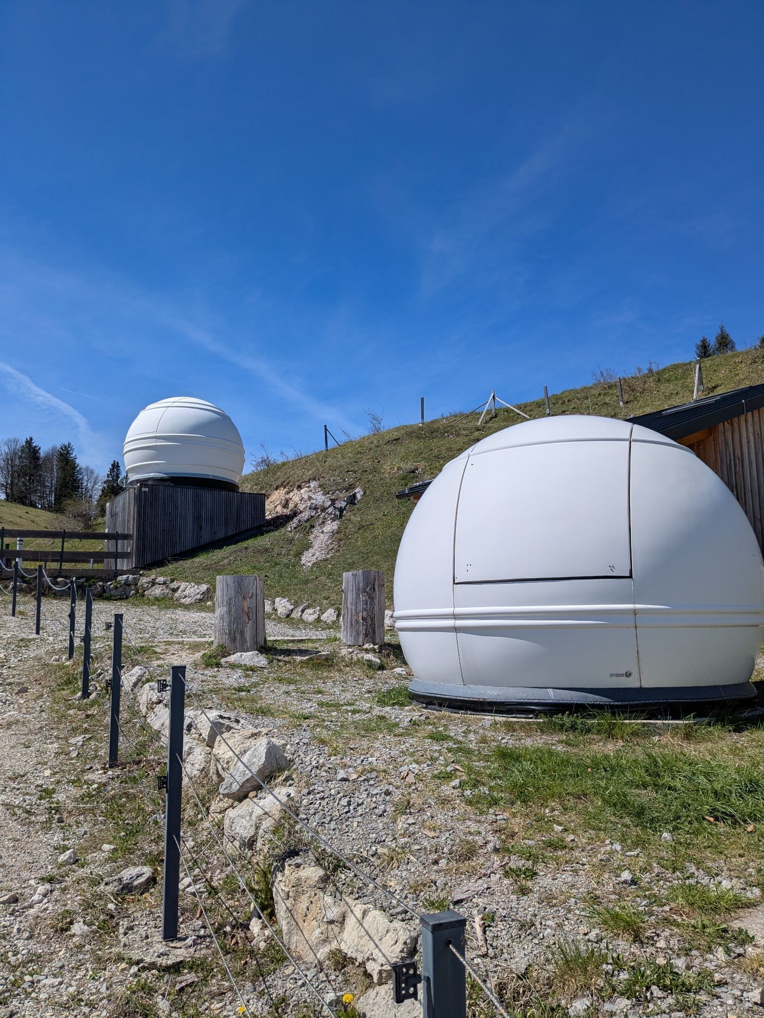
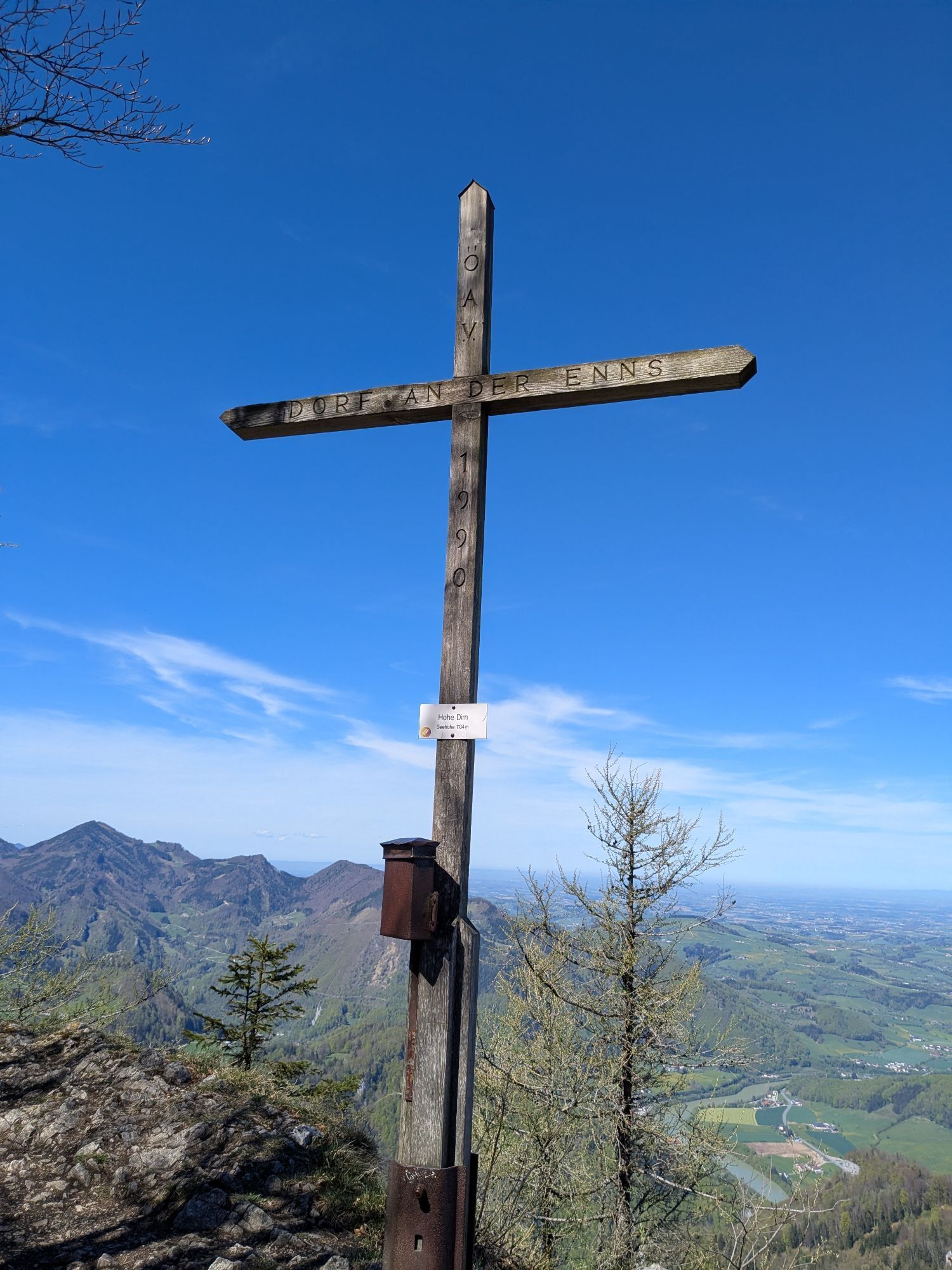
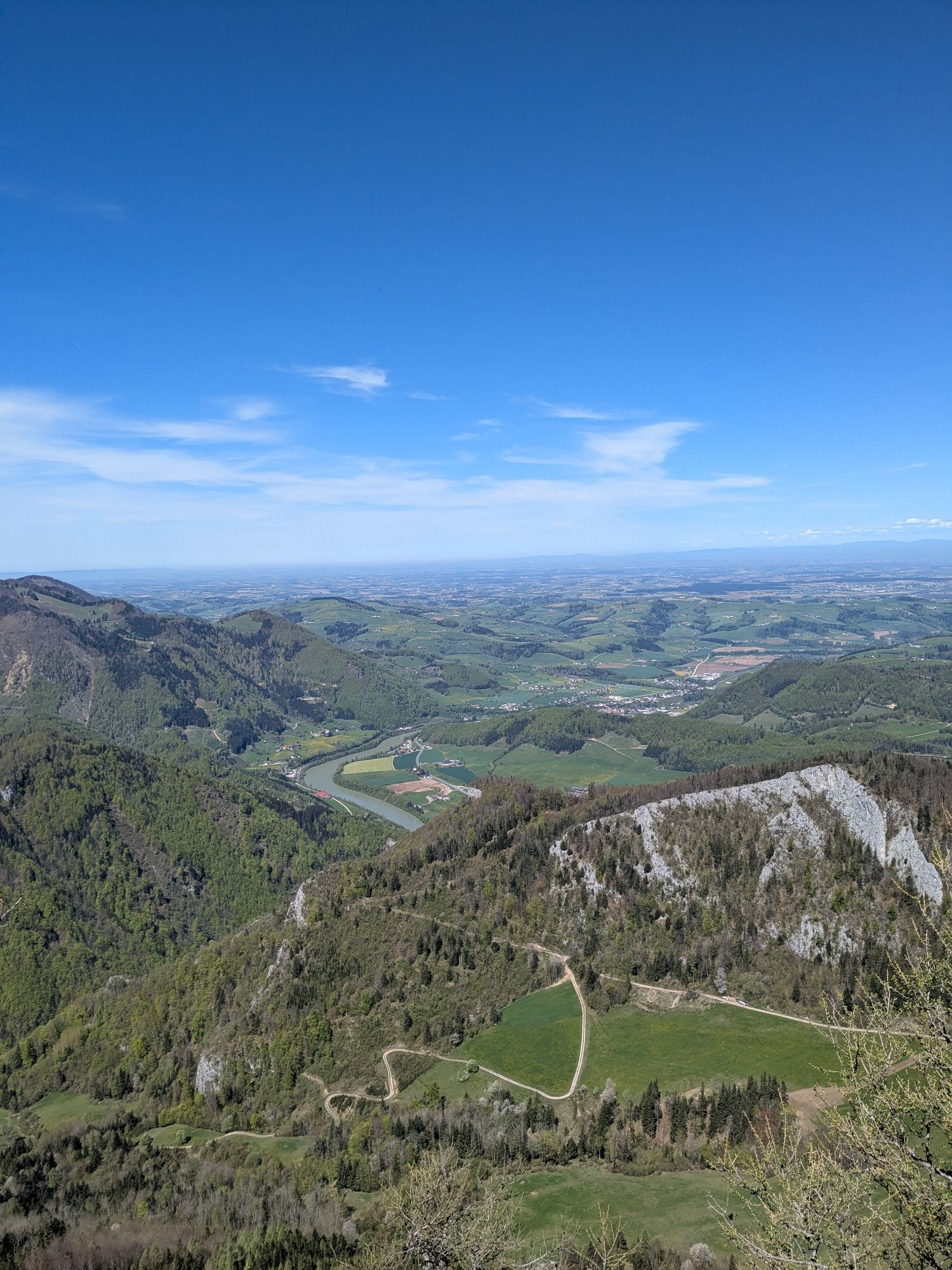
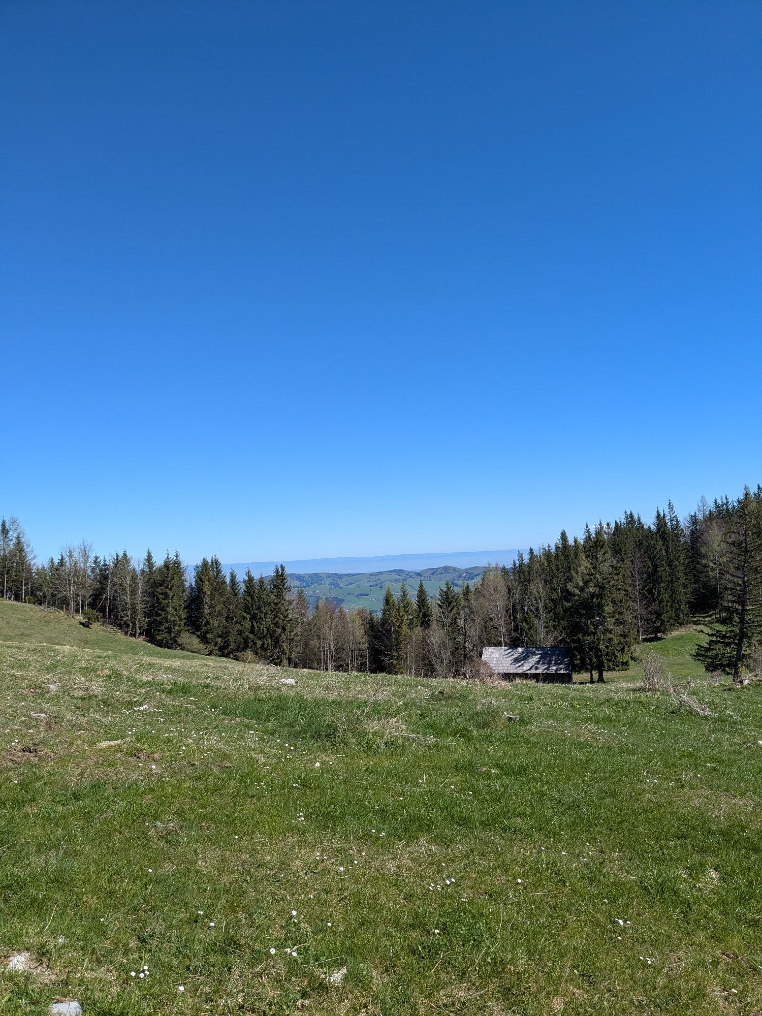
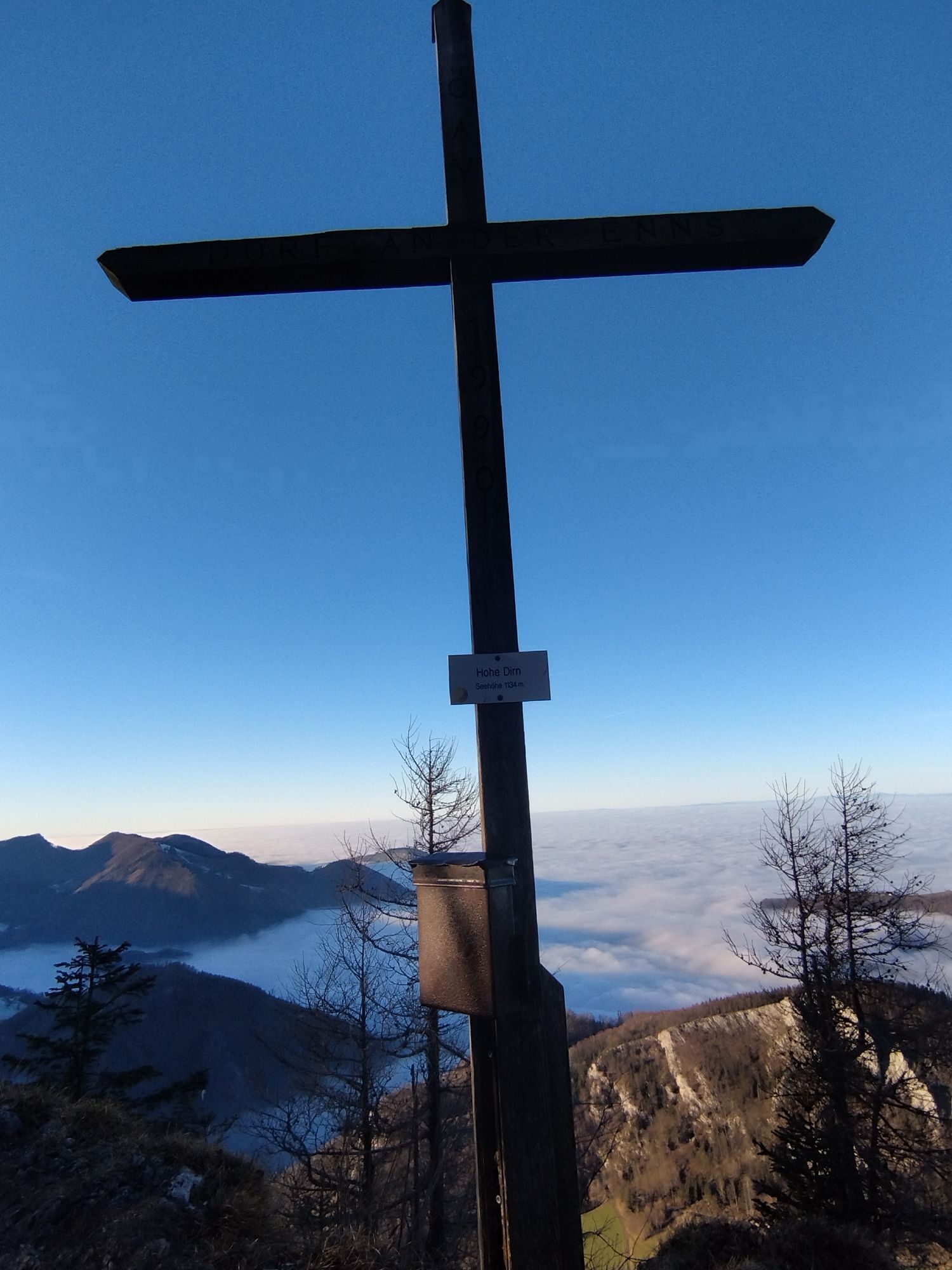
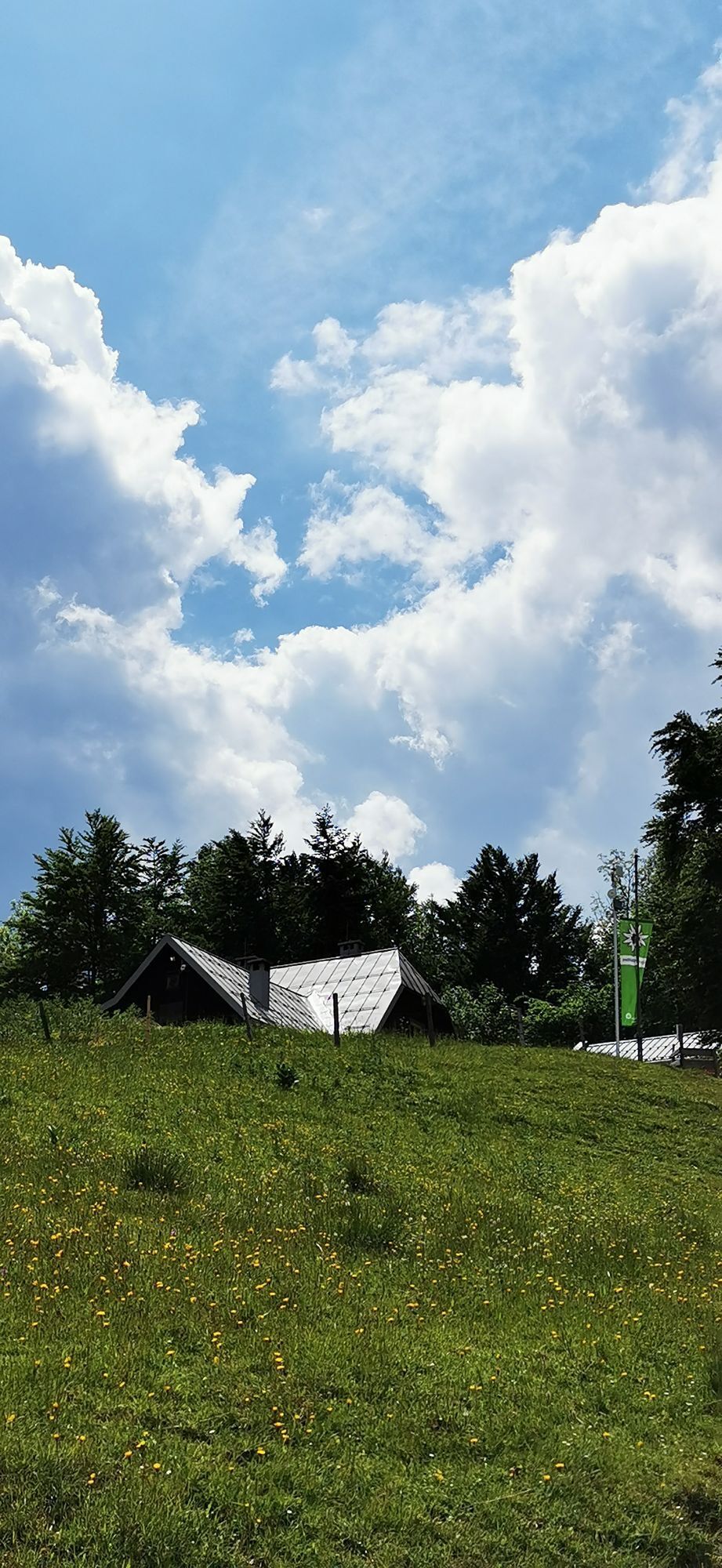
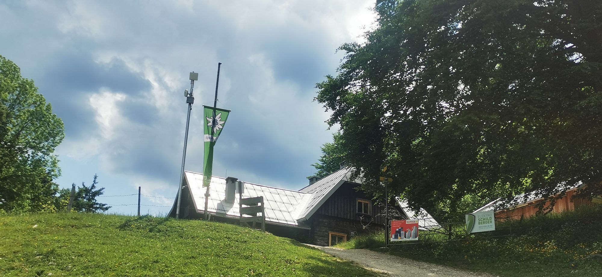
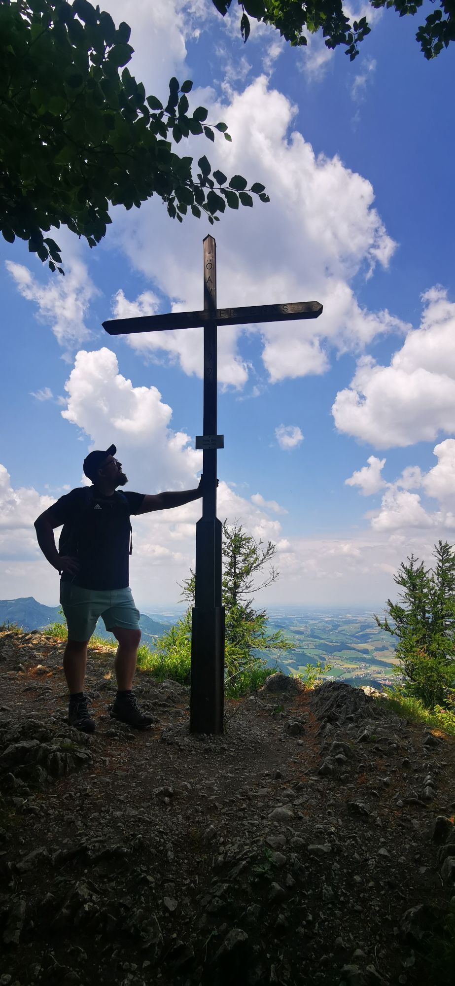
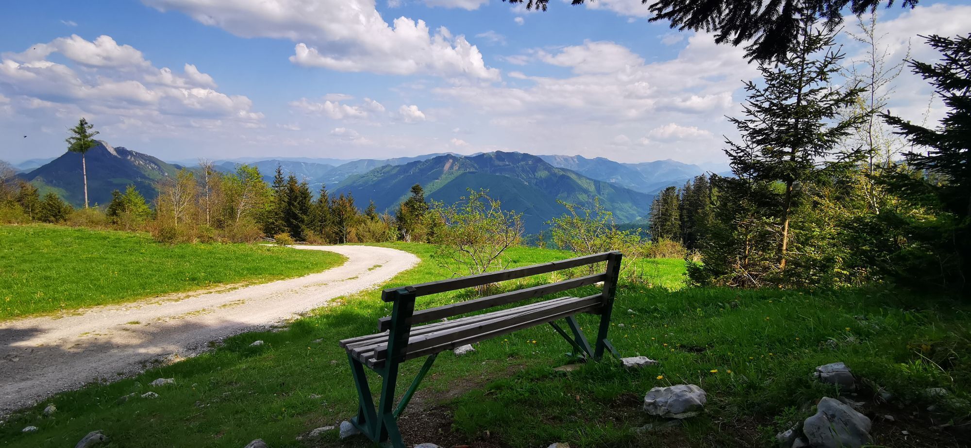
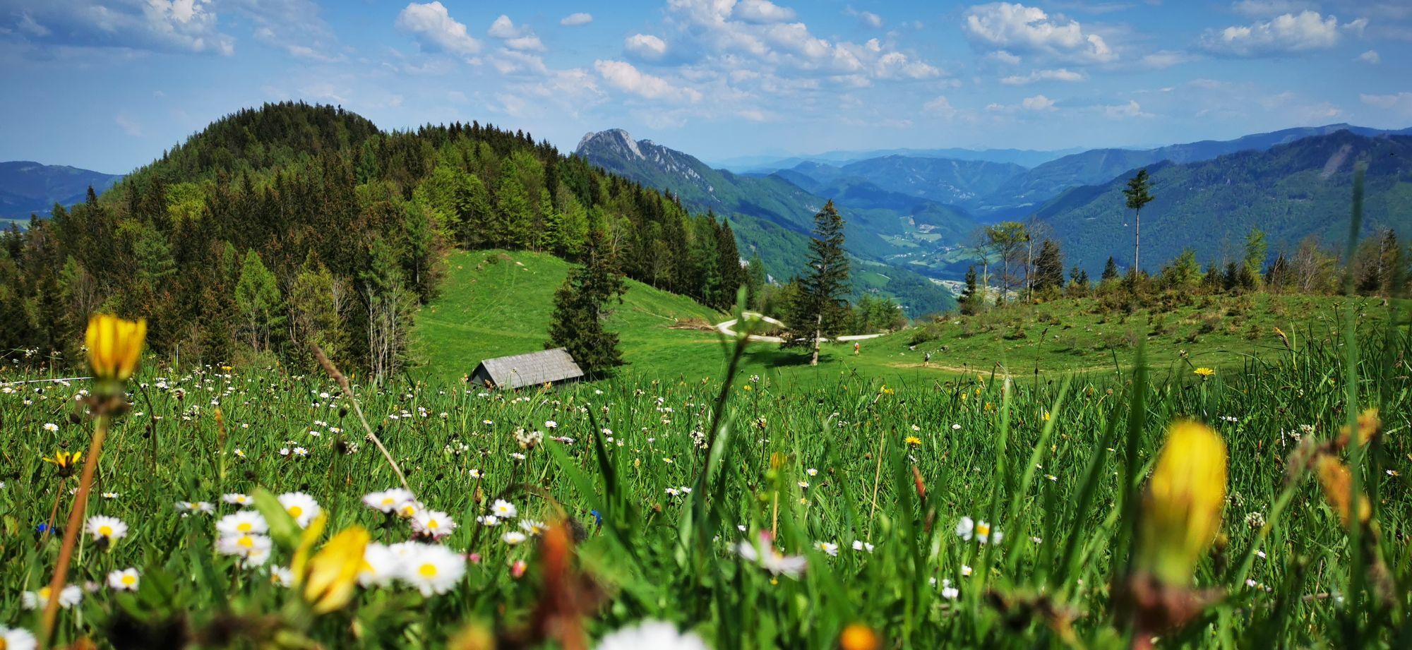
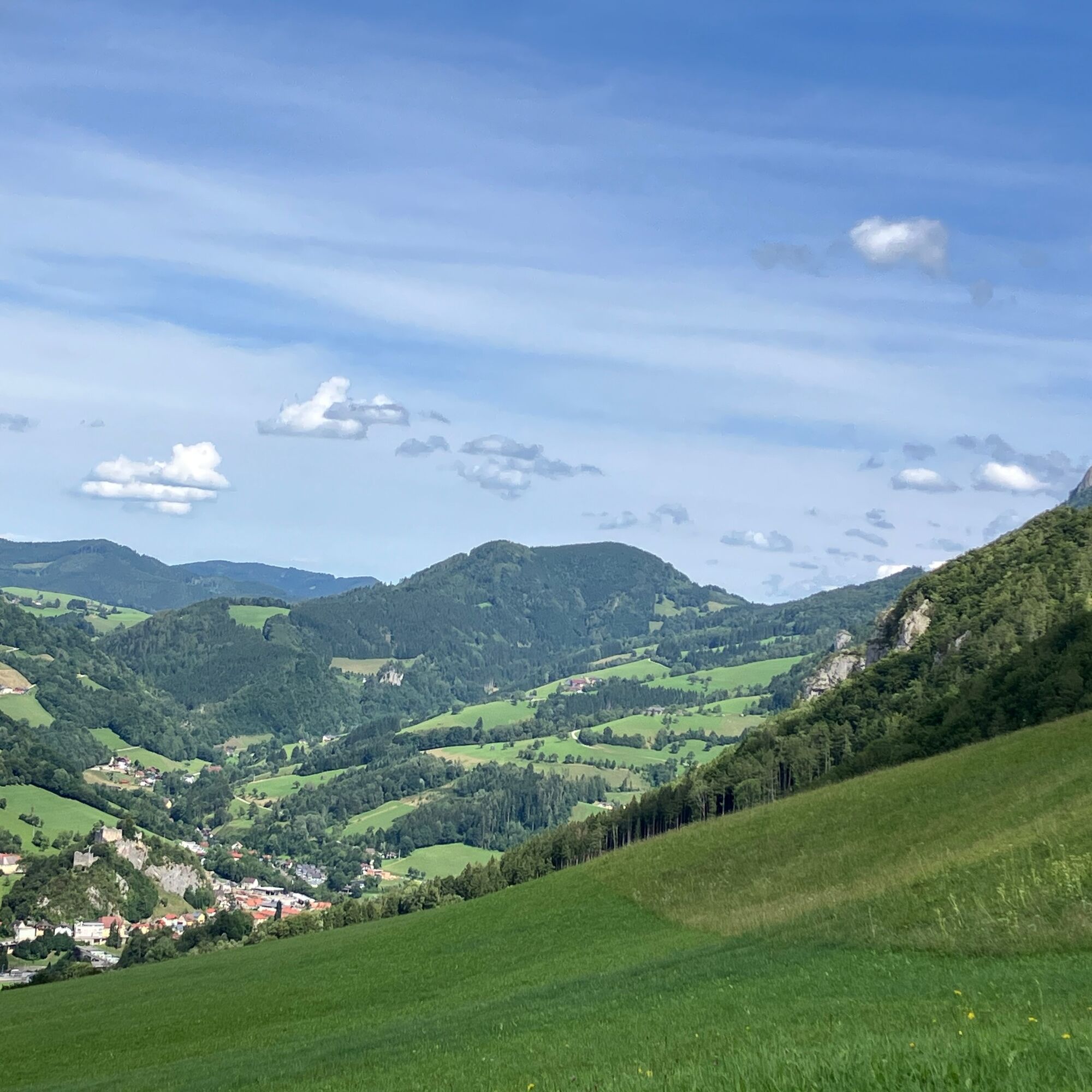
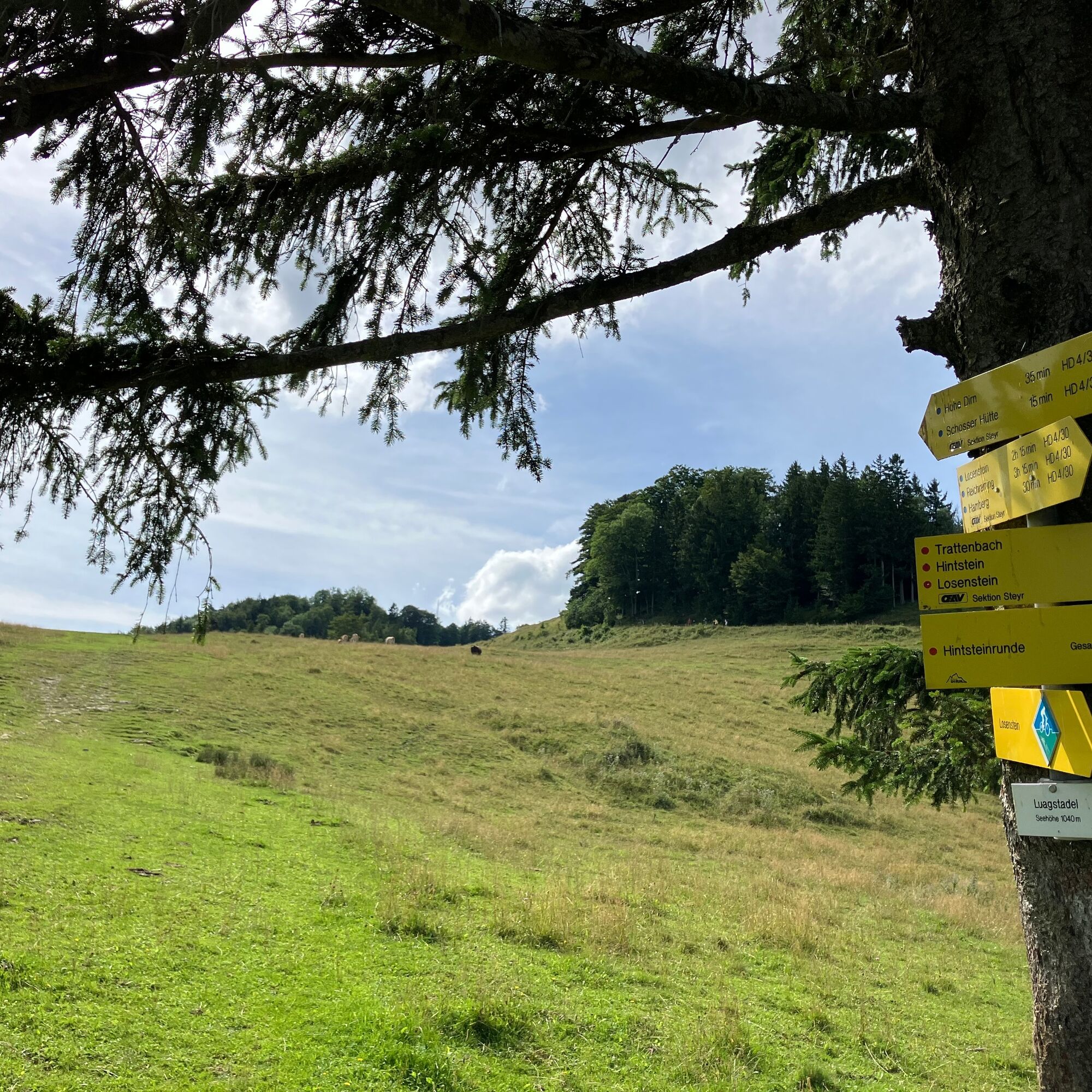
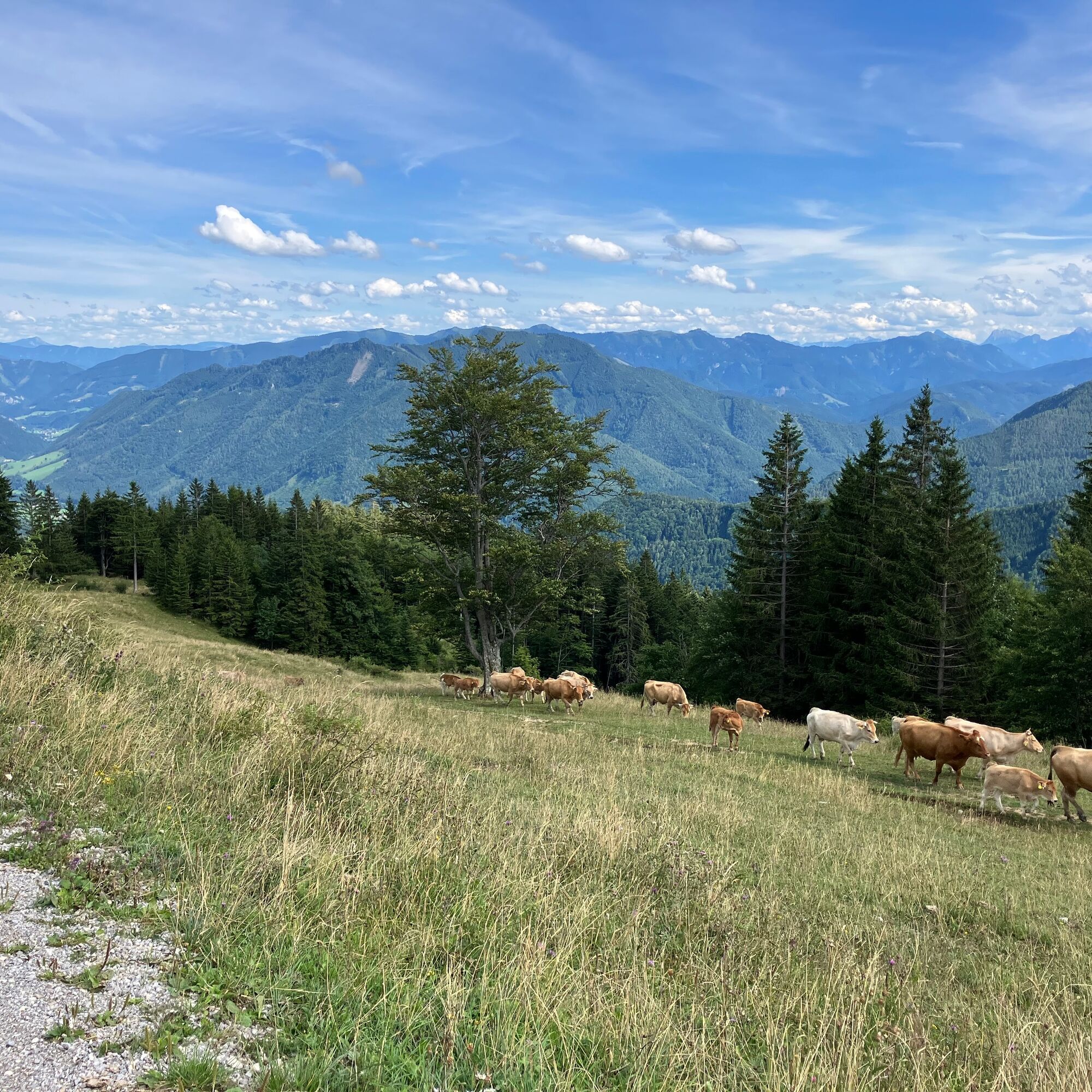
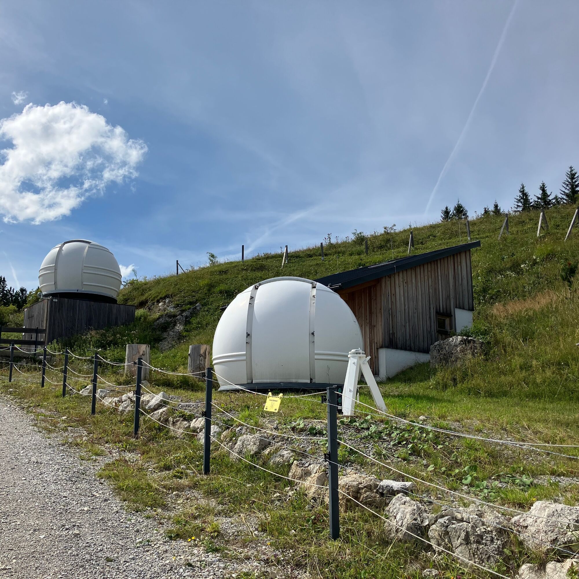
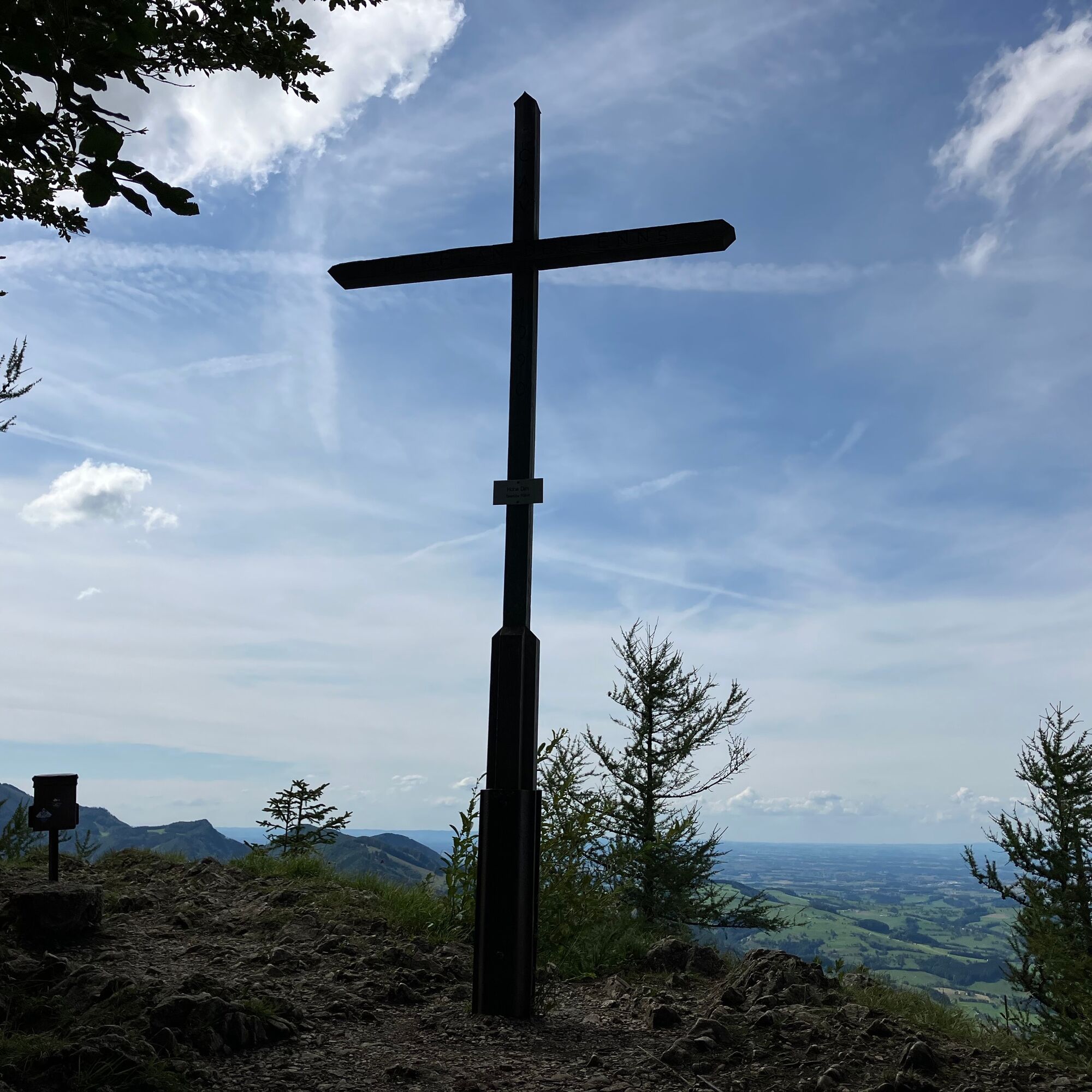
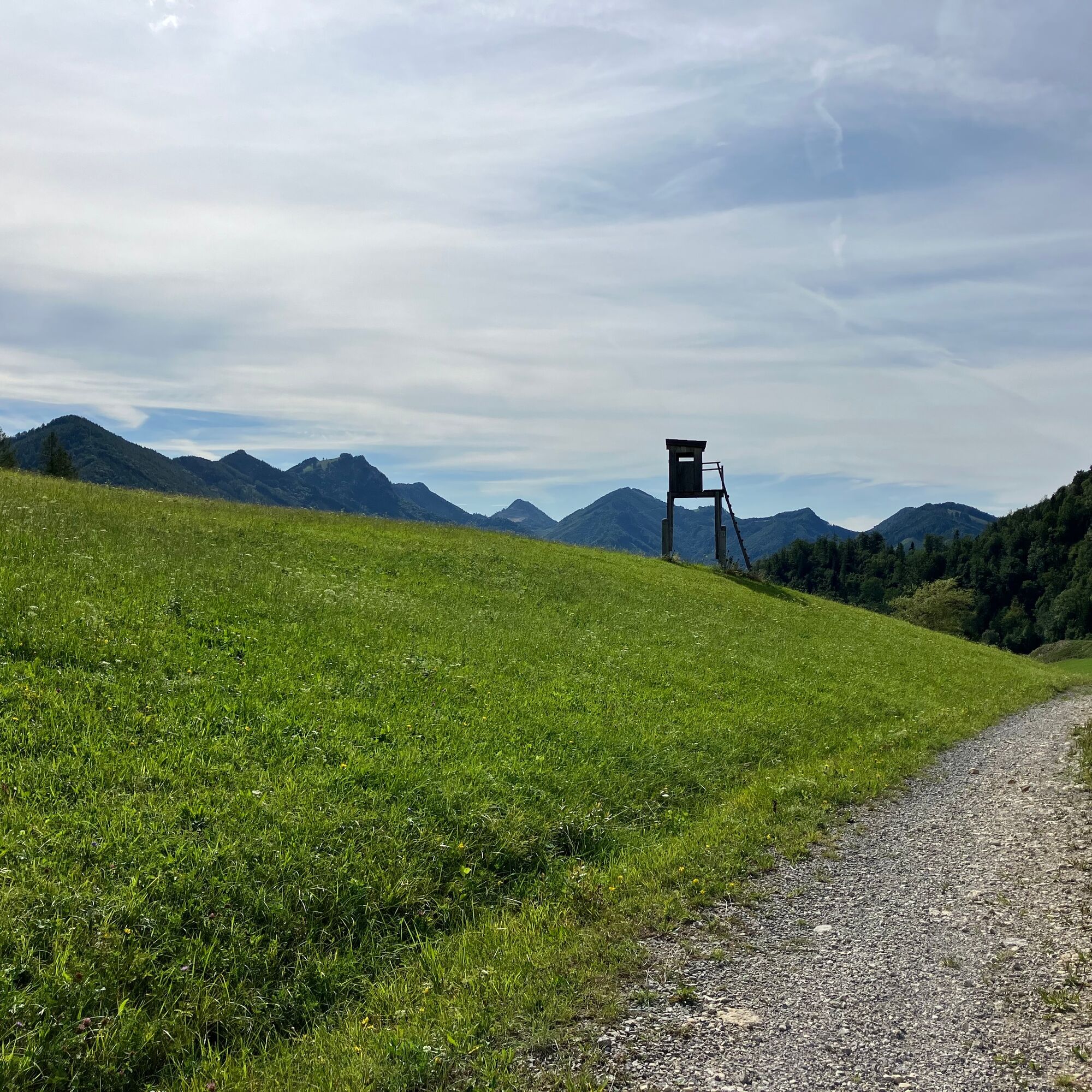
Stay on the forest road and at junctions always follow the hiking trail HD5 until you come out on a path by a meadow and hut. Passing the hut on the left go right upwards - here you have the choice whether forest road or hiking trail up to the observatories. After the observatories turn right and follow the signposts to the Hohe Dirn summit.
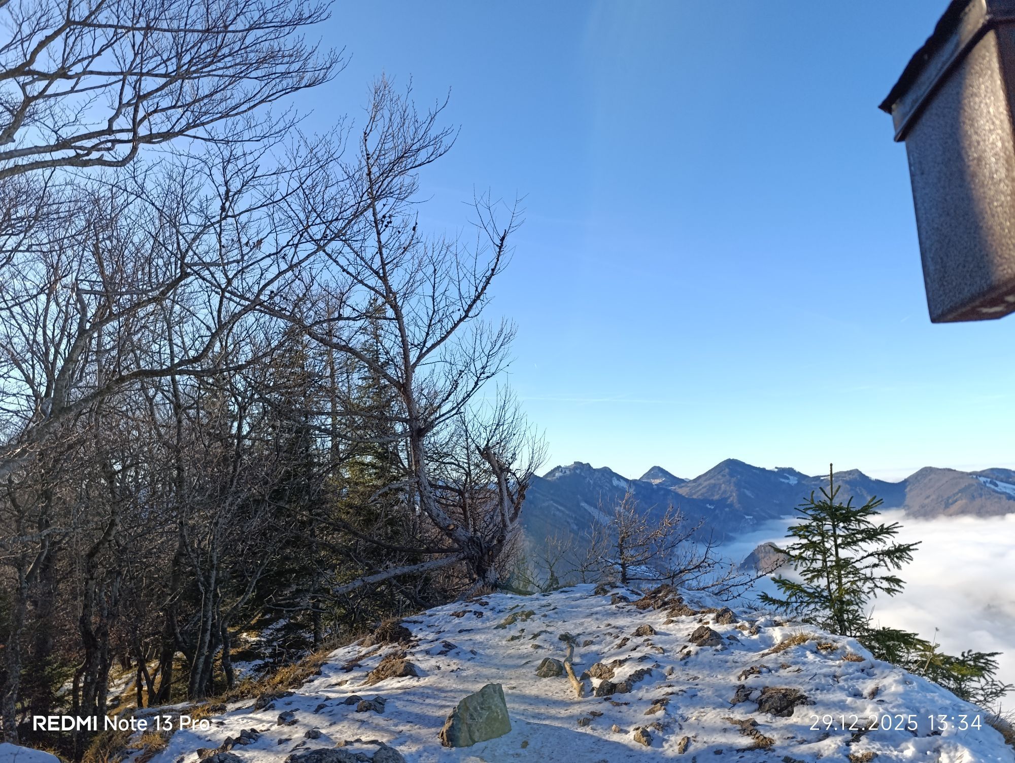
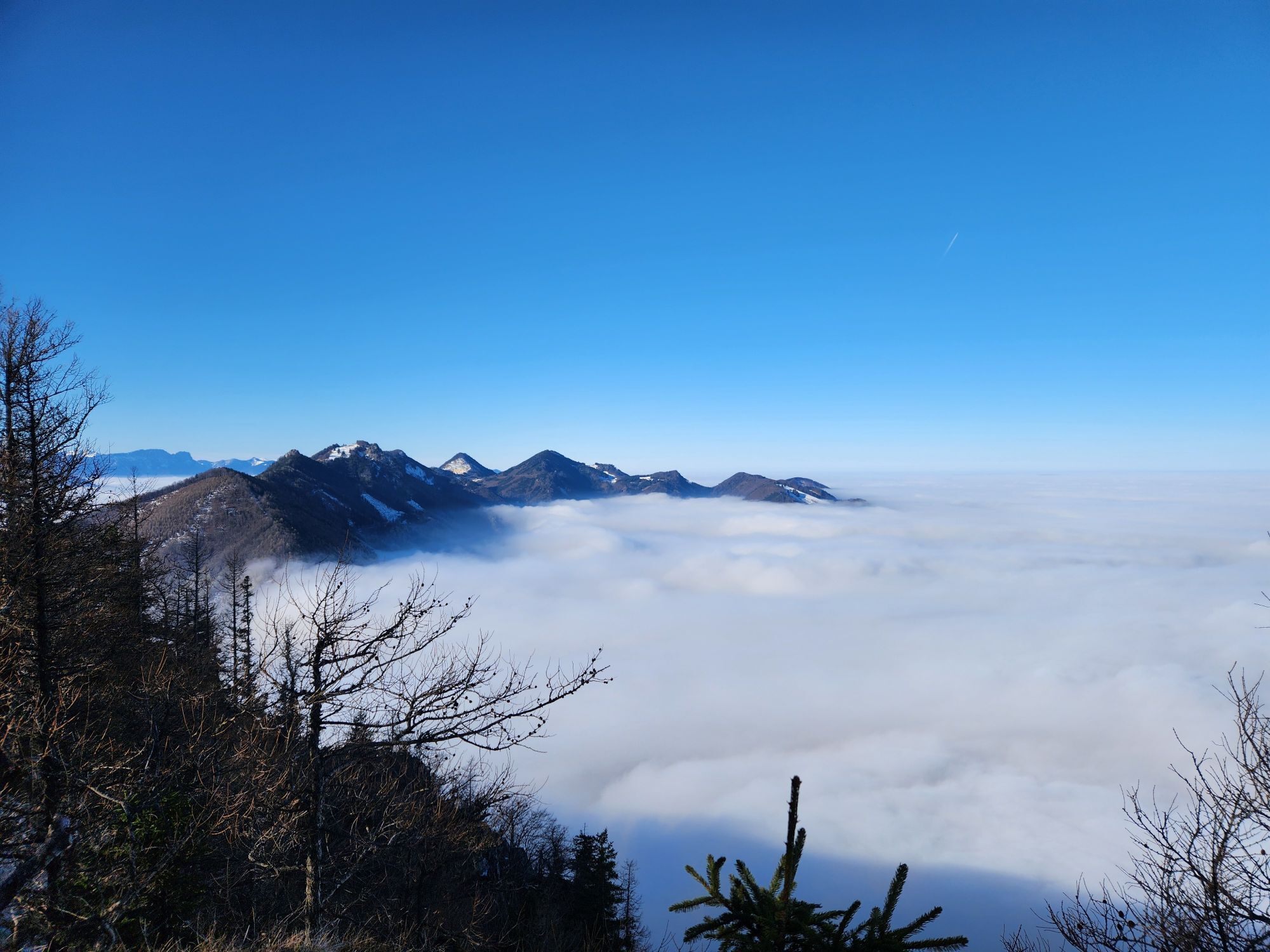
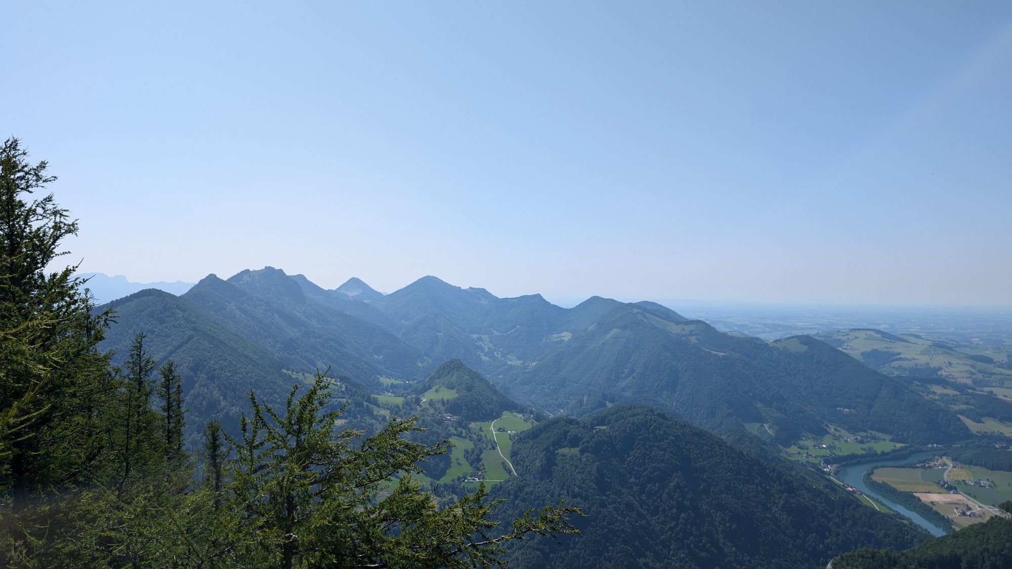
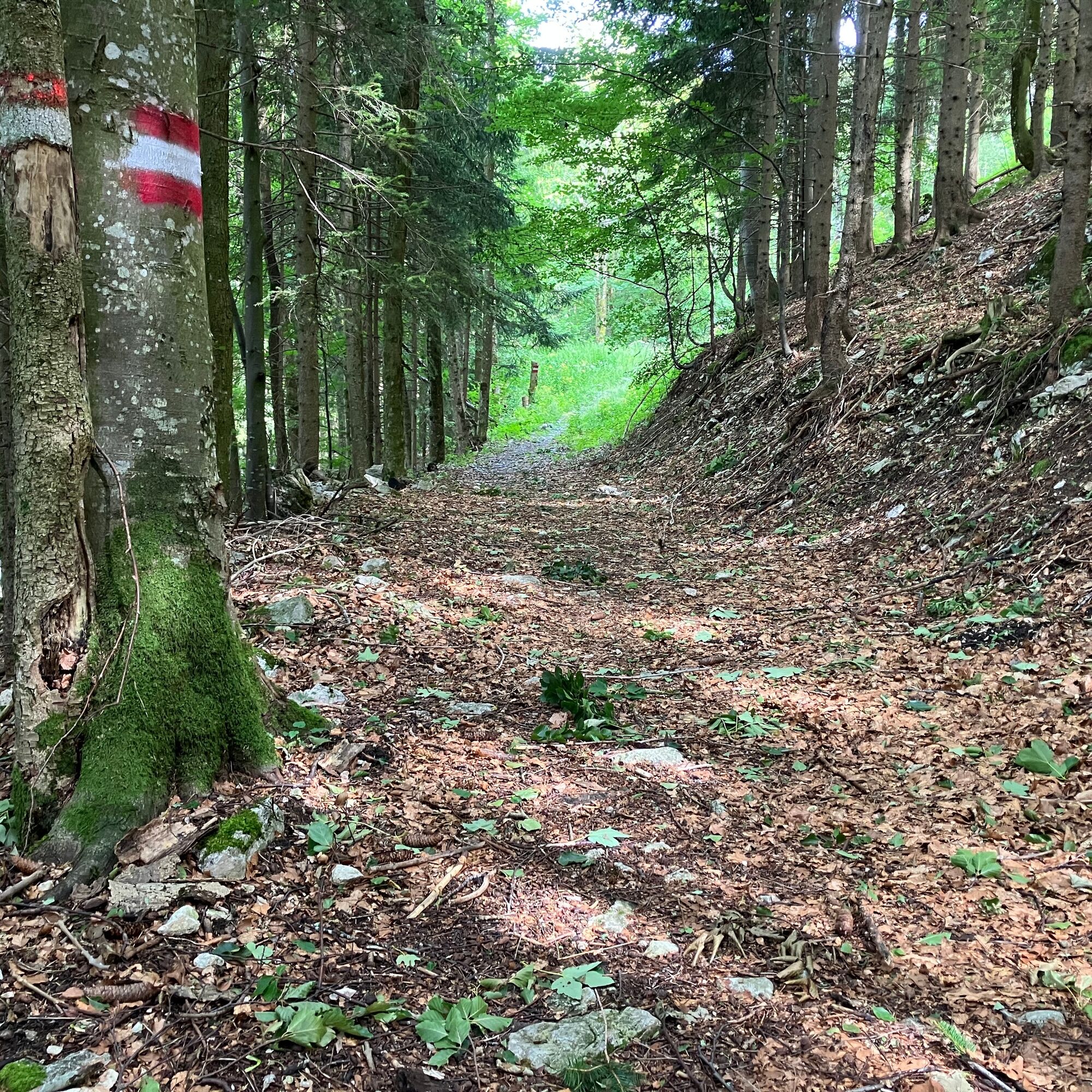
From the summit a short way back on the same path as coming up, before turning left downhill towards Hinstein (hiking trail sign Hinstein 31/HD6). Here it goes steeply down over very technical terrain, until at the bottom you run on a section of forest road to the farmhouse. At the farmhouse turn right onto the street, follow it for a longer section until the point where you came up over the meadow from the creek after the Klausrieglergraben. From here through the gorge back the same way as at the beginning to the train station.
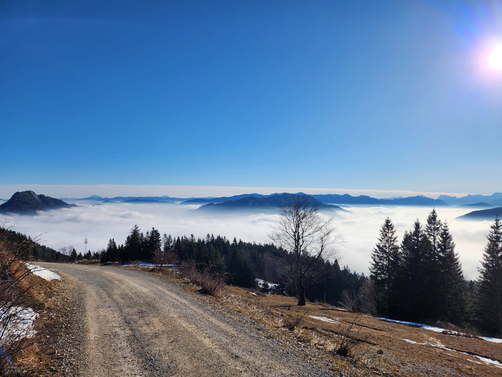
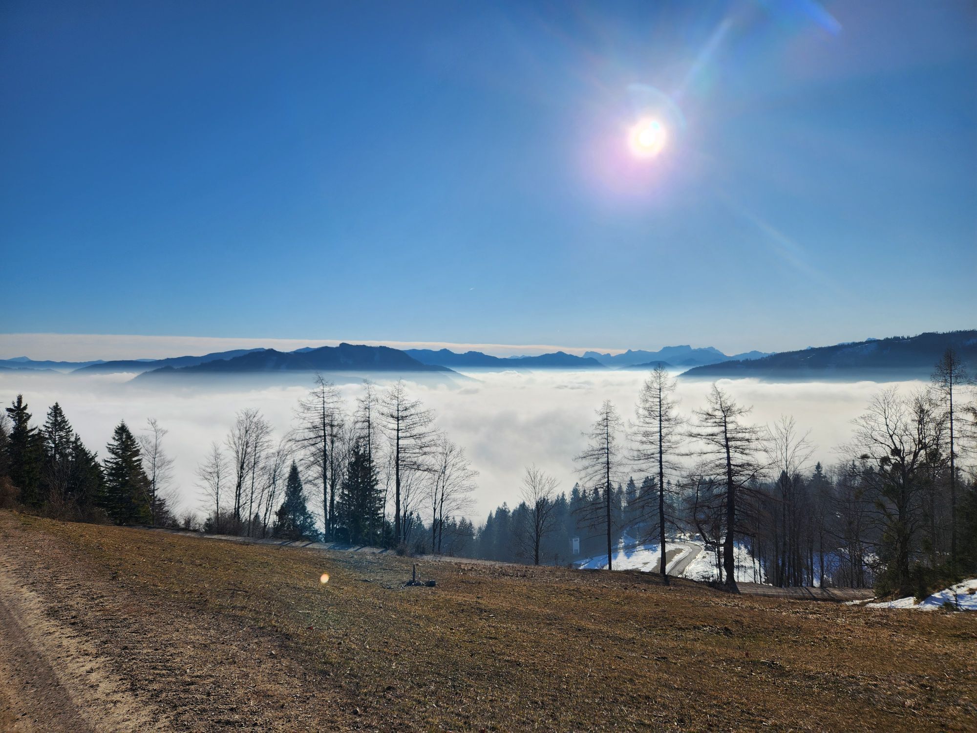
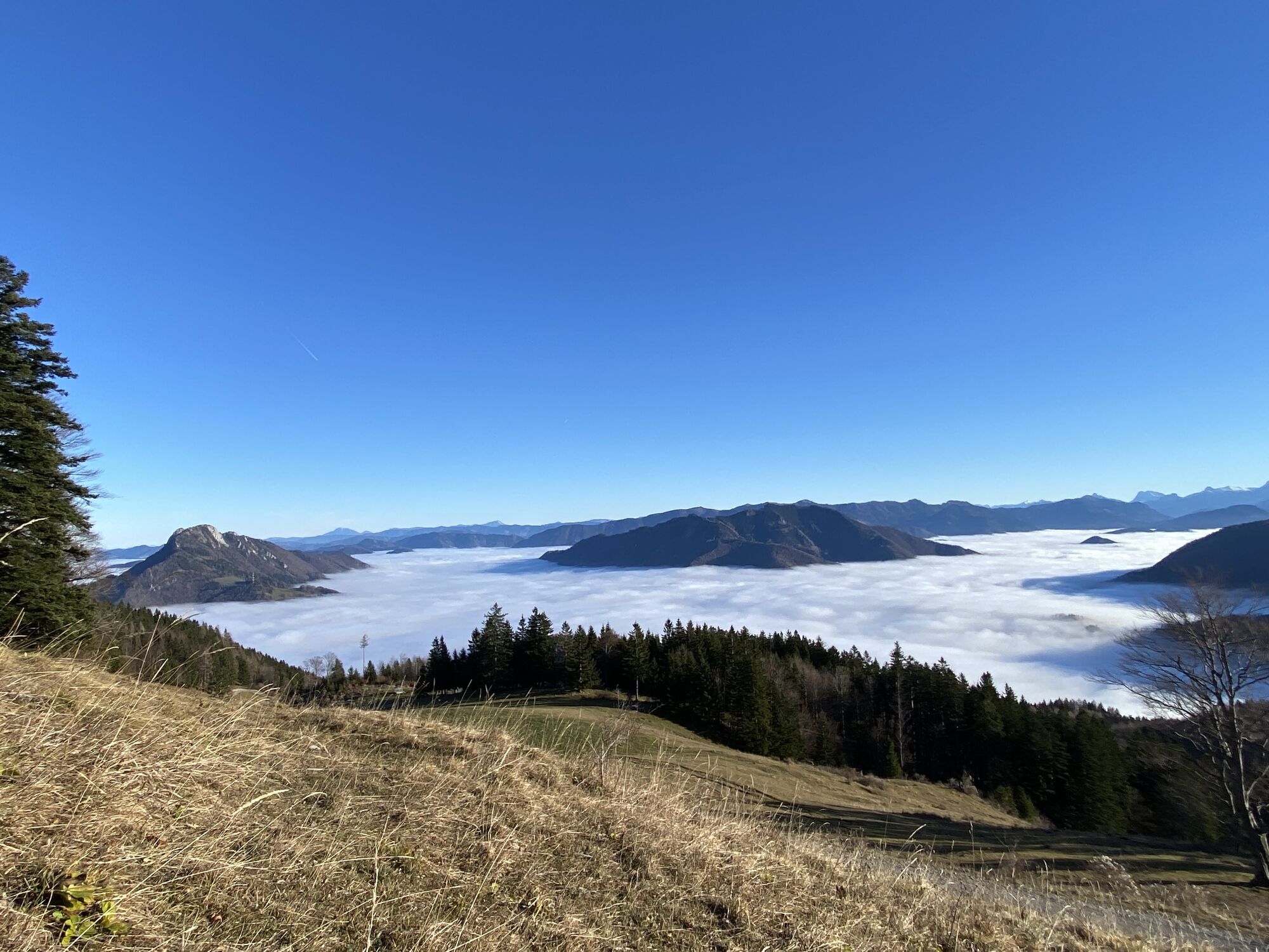
The required equipment always depends on the respective route and weather conditions. Regarding provisions: this is very individual, and it is recommended to have rather too much than too little with you in terms of equipment and provisions. A 5 km round in the valley requires less than a demanding mountain route. The weather can change quickly and if you are not constantly moving or need to take a break, e.g. warm clothing is of great importance.
We have a general checklist here for you:
Weather-appropriate running clothes for the respective season – weather forecast – region – altitude. This includes, among others:* a waterproof rain jacket
* waterproof rain pants suitable for running
* gloves and warm headwear (cap/headband/neck gaiter)
* sunglasses + sunscreen + headwear for very warm days Trail running shoes Water bottles, soft flasks or a hydration bladder with enough fluid for the respective tour (possibly also salt tablets/magnesium) Snacks for an energy boost in between: energy bars, gels, chocolate, trail mix, Running backpack: ideally a trail running vest / a trail running backpack or a waist belt for small tours. Dry pack: to keep your valuables or change of clothes dry (optionally a small trash bag) Emergency blanket Small first aid kit. An Israeli bandage is, in my opinion, highly recommended: it is a one-handed operating wound and pressure bandage. Details can be found here. Emergency whistle (often integrated in the trail backpack) Mobile phone Map material (online and/or offline) E-Card or insurance card Some cash Microspikes/spikes: these can be a great advantage in winter and icy conditions. Folding poles for trail running Headlamp
This trail was run for us by Marietta Atzmüller
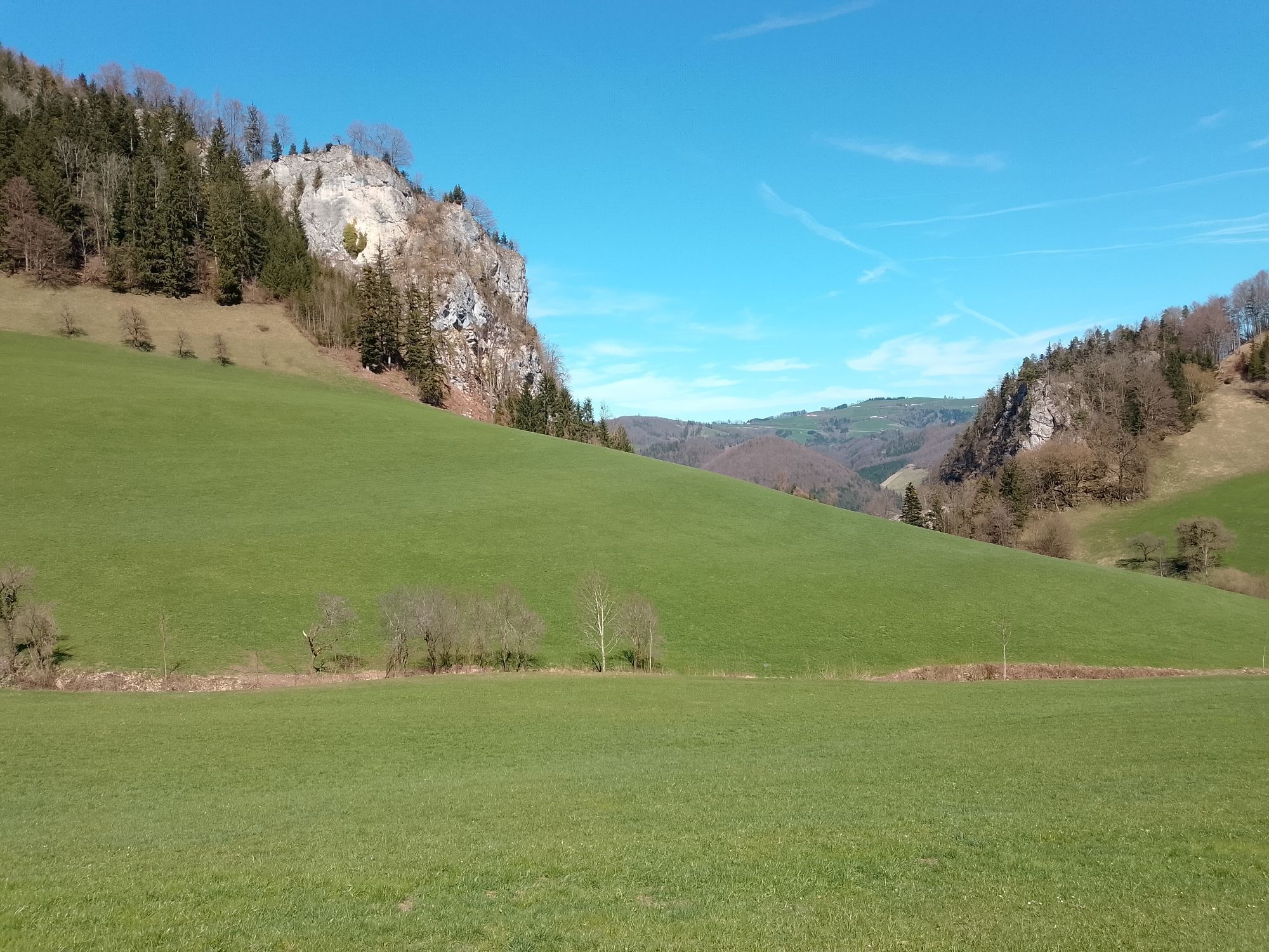
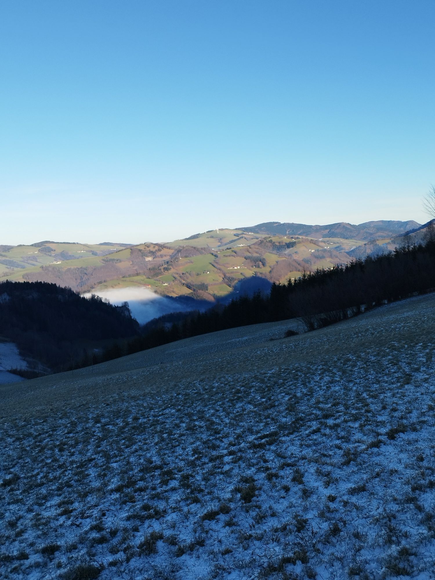
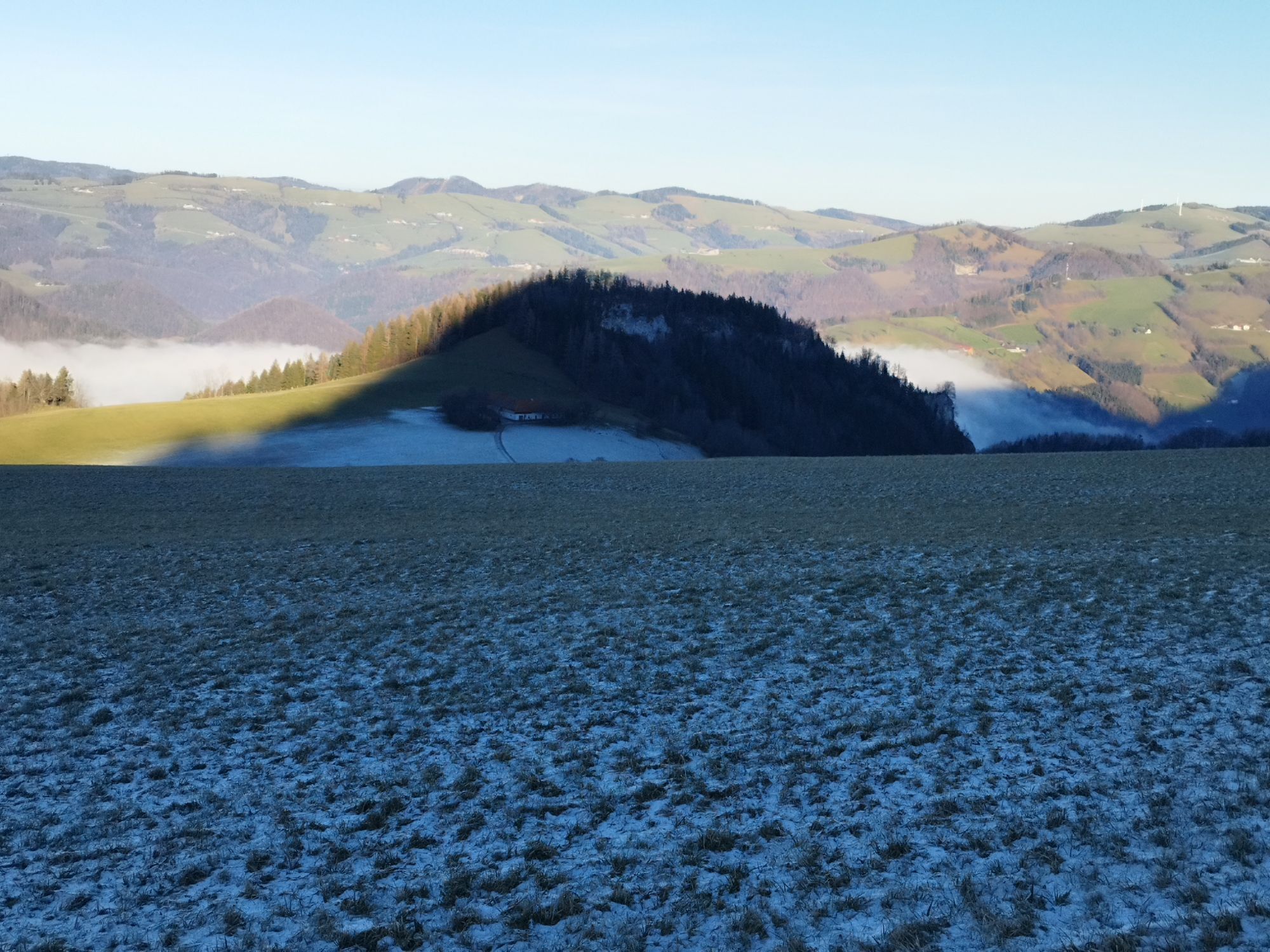
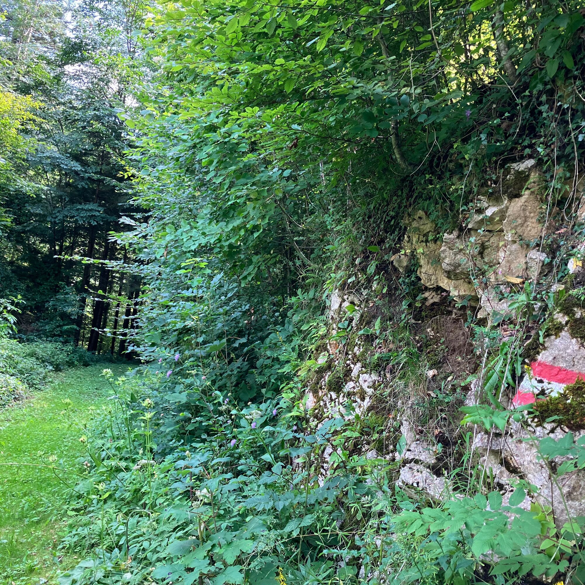
The Klausgraben (= small gorge, partly very exposed and with several crossings of the stream) is very impressive
Possibility to stop for refreshments:
Gasthaus Blasl (opposite the train station)
Anton-Schosser-Hütte (currently allegedly no tenant?)
further inns in Losenstein


Obľúbené výlety v okolí
-
4,9
Ennser Hut - Almkogel (from Bamacher car park)
strednáTuristika 3,53 km -
4,7
Grünburger Hut via Dorngraben Molln
strednáTuristika 3,43 km -
4,6
Schoberstein (from Molln)
strednáTuristika 3,63 km -
4,8
Steinerner Jäger (1185m) und Schieferstein (1206m) ab Parkplatz Hochhabichler
strednáTuristika 4,46 km -
4,6
Rinnende Mauer - Gorge Trail
strednáTuristika 7,20 km -
4,7
GROSSRAMING Bamacher, Burgspitz, Almkogel, Ennshütte 20240730
strednáTuristika 10 km -
4,6
Dürres Eck - Gaisberg - Hochbuchberg
strednáTuristika 11,2 km -
4,6
Pfaffenmauer - Schoberstein - Gipfel der Lust Gasthof Klausriegler, Oberösterreich/Österreich
strednáTuristika 9,72 km -
4,5
Ternberg -Schoberstein
strednáTuristika 6,60 km -
4,7
Steinerner Jäger (1185m) und Schieferstein (1206m) ab Parkplatz Hack
ťažkéTuristika 8,58 km
Turistika a stopovanie


Nenechajte si ujsť ponuky a inšpiráciu na ďalšiu dovolenku
Vaša e-mailová adresa bol pridaný do poštového zoznamu.