


natur.BANK.wege | Großraming | Prennhöhe | 446309
Fotografie našich používateľov
-
 © ElkeAVytvorené dňa 27.03.2026
 -
 © ElkeAVytvorené dňa 27.03.2026
 -
 © silkerschiVytvorené dňa 10.05.2025
 -
 © silkerschiVytvorené dňa 10.05.2025
 -
 © silkerschiVytvorené dňa 10.05.2025
 -

 © Christian PrillerVytvorené dňa 03.05.2025
 -
 © Christian PrillerVytvorené dňa 03.05.2025
 -
 © Christian PrillerVytvorené dňa 03.05.2025
 -
 © Christian PrillerVytvorené dňa 03.05.2025
 -
 © Christian PrillerVytvorené dňa 03.05.2025
 -
 © Babs HolzVytvorené dňa 08.04.2025
 -
 © Babs HolzVytvorené dňa 08.04.2025
 -
 © Babs HolzVytvorené dňa 08.04.2025
 -
 © Babs HolzVytvorené dňa 08.04.2025
 -
 © Babs HolzVytvorené dňa 08.04.2025
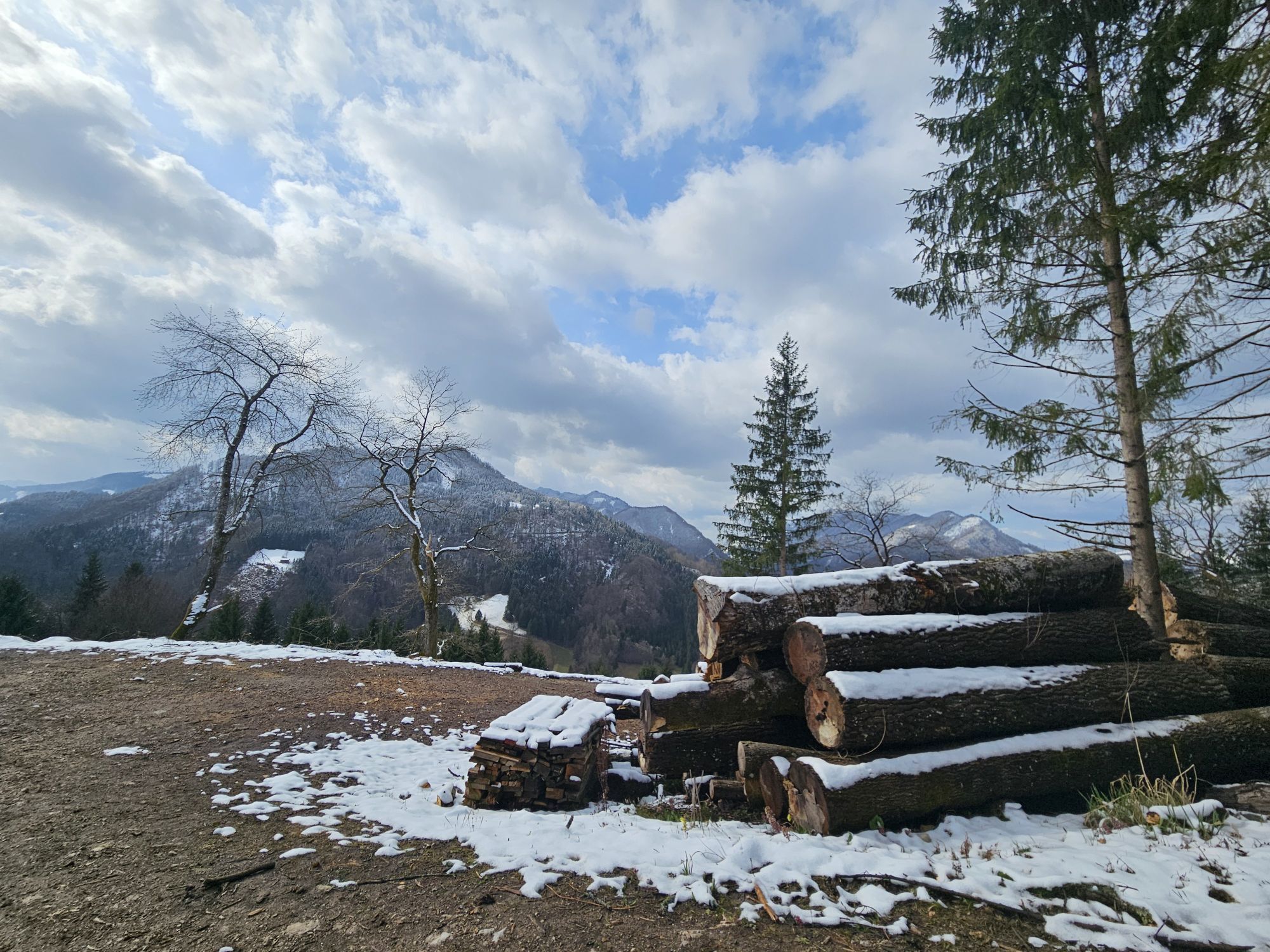
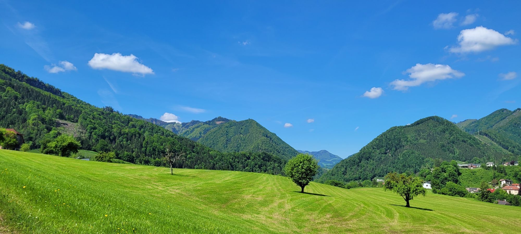
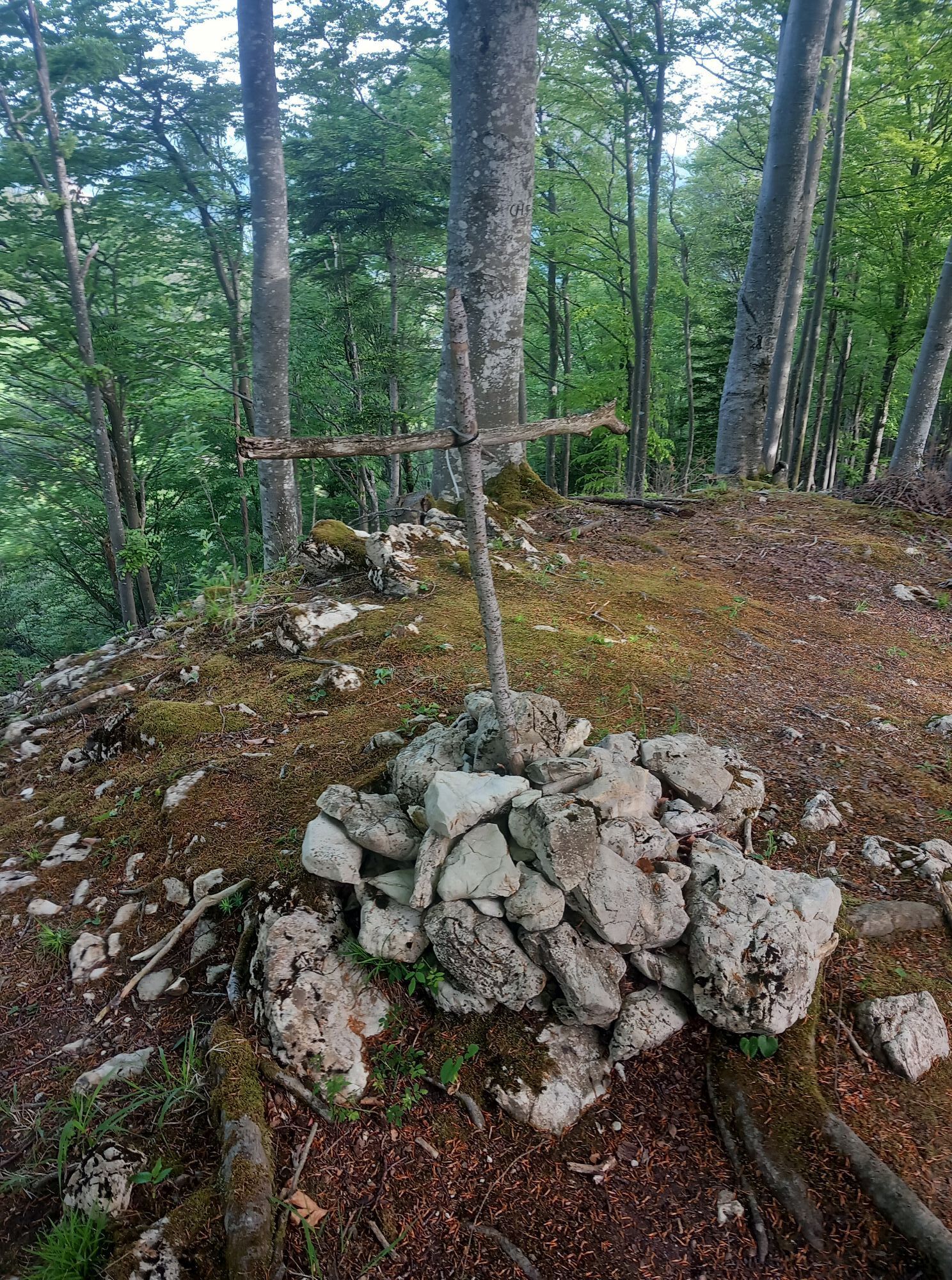


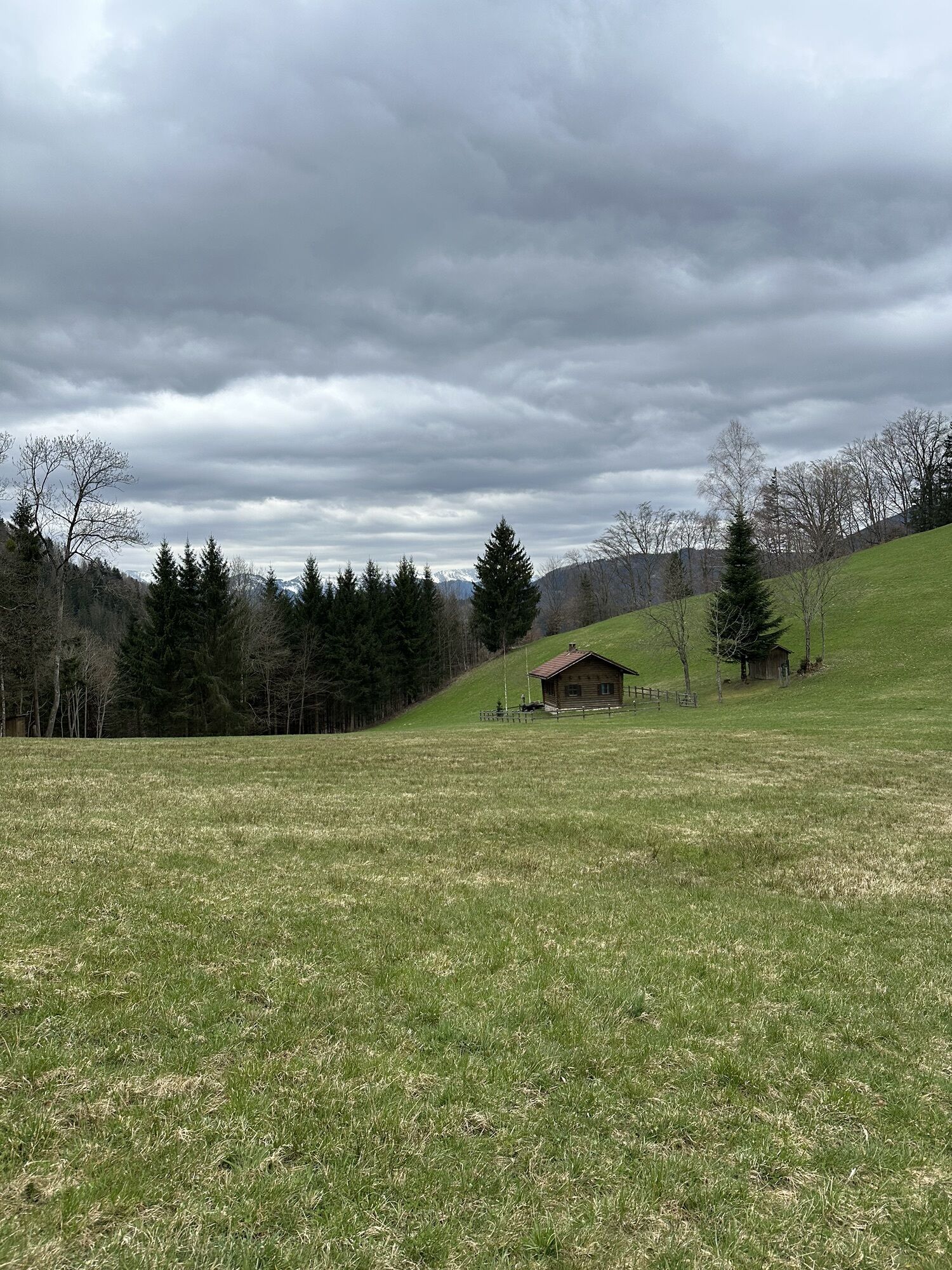
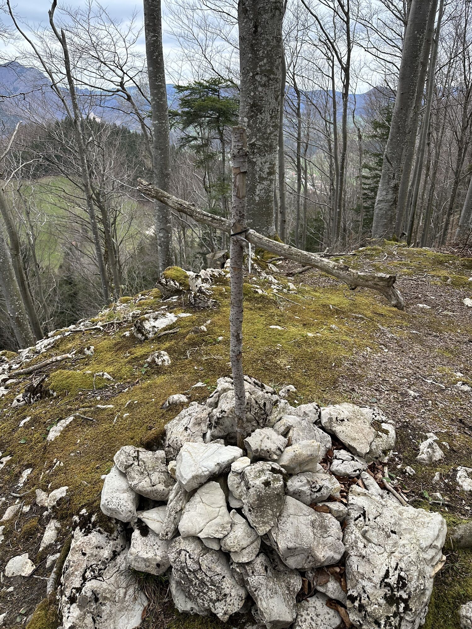

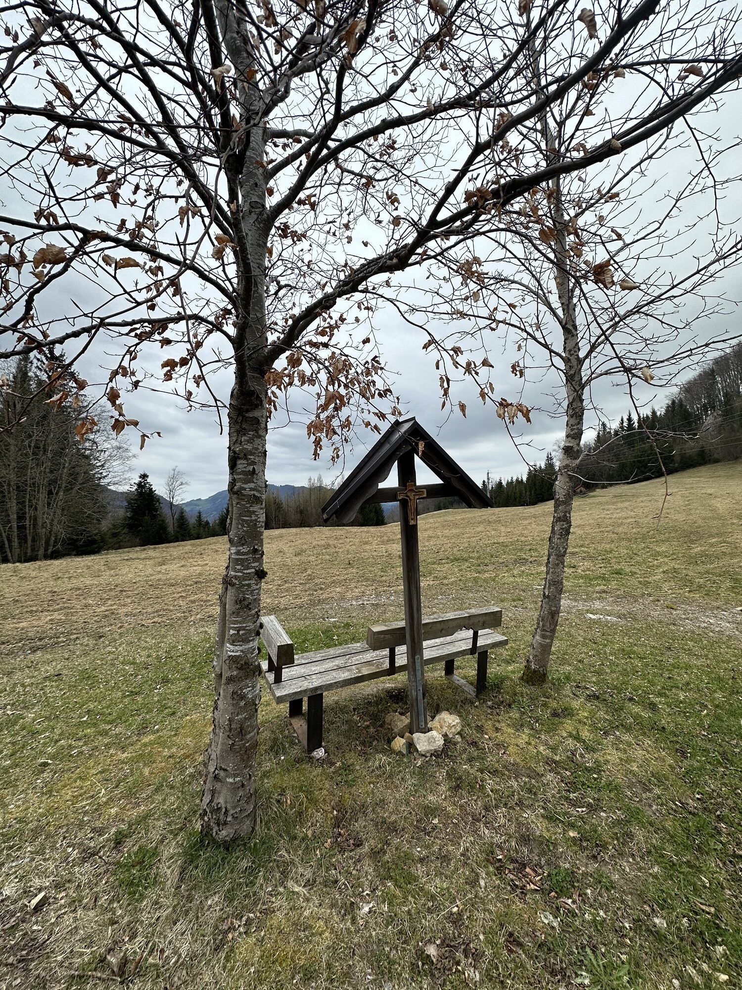
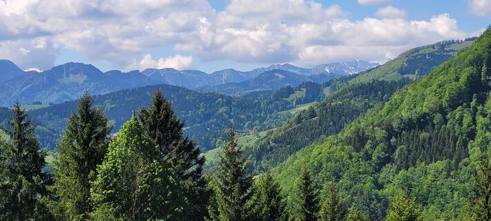
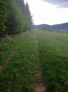
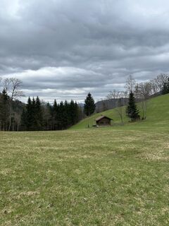
Prennhöhe is an idyllic spot to relax and recharge.

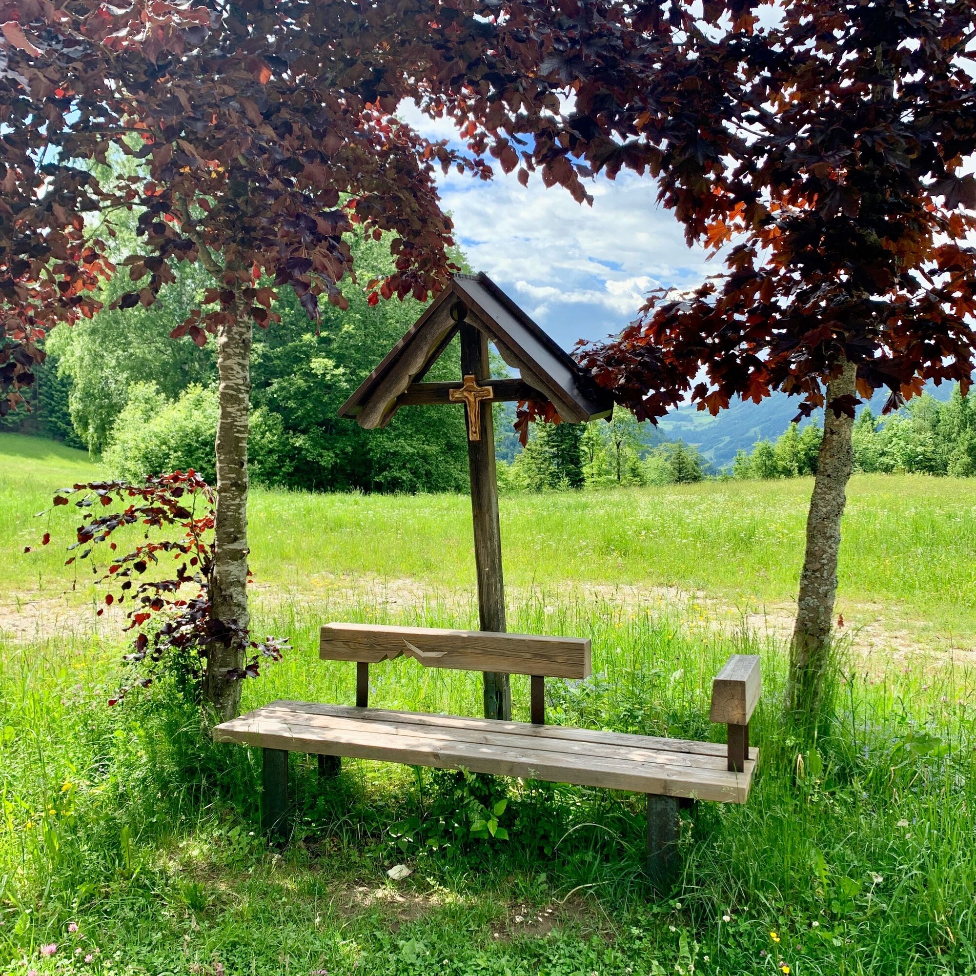
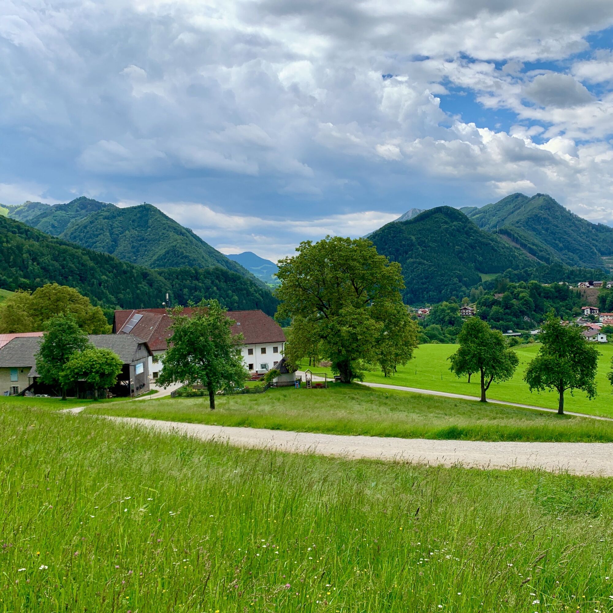
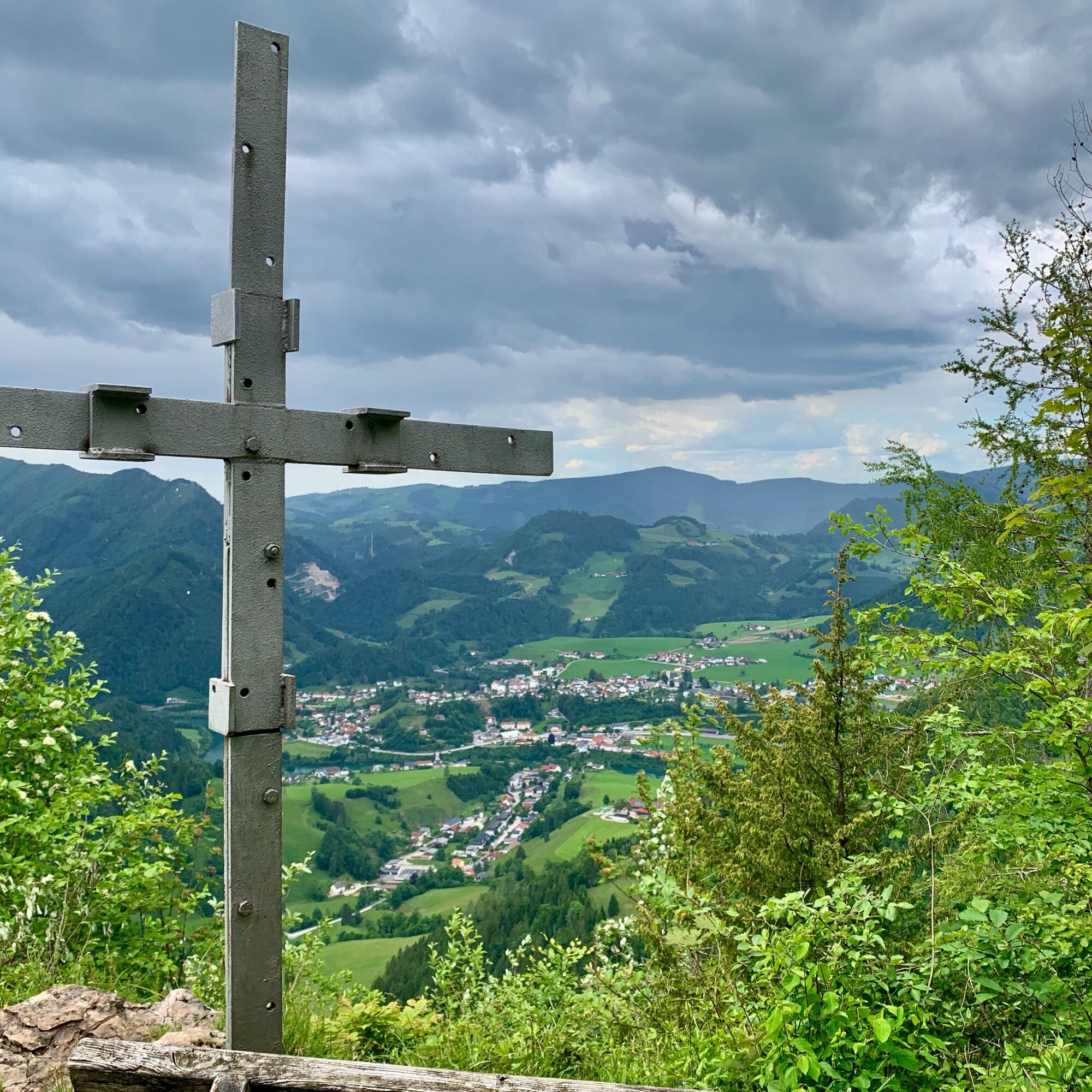
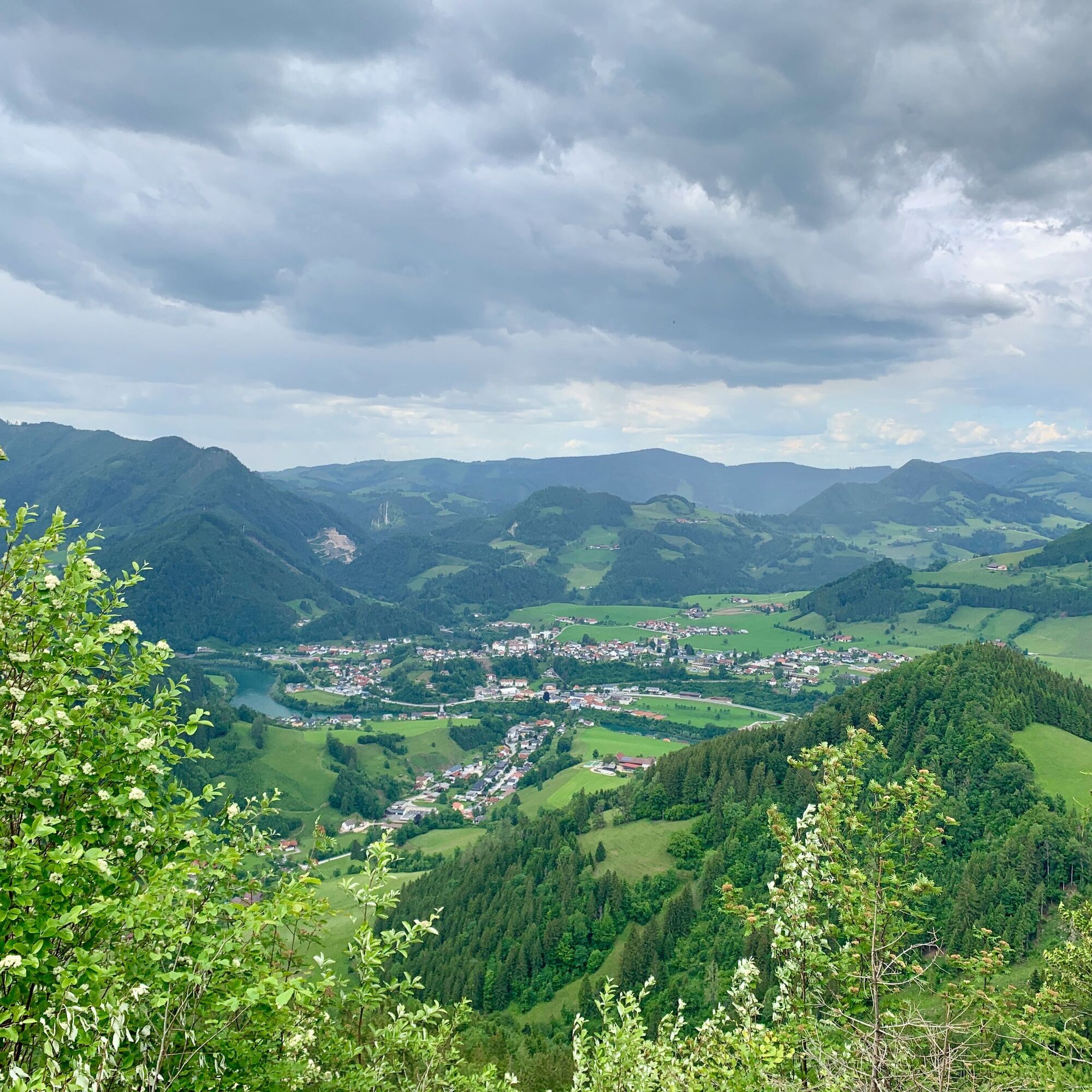
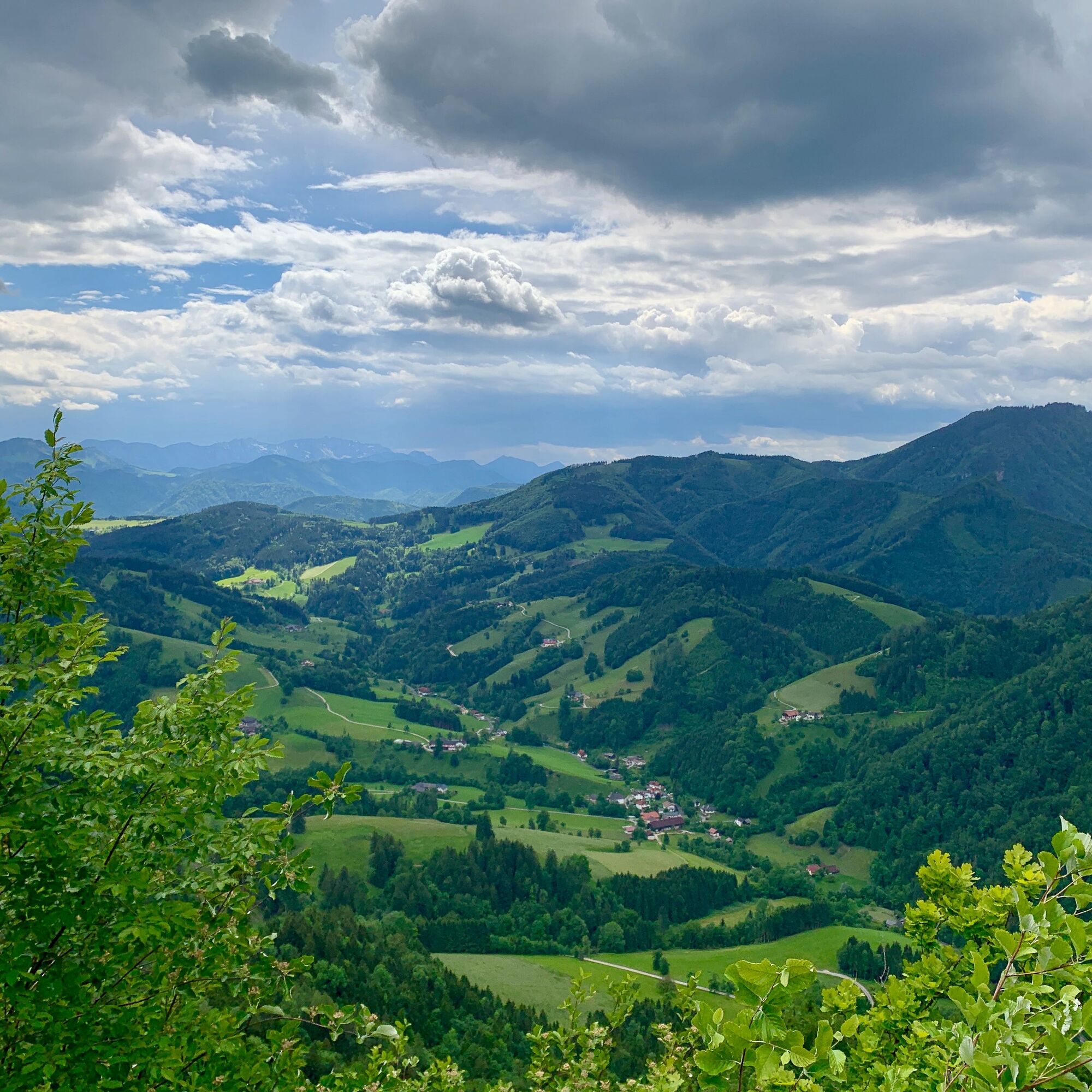
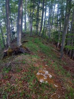
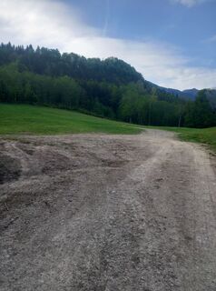
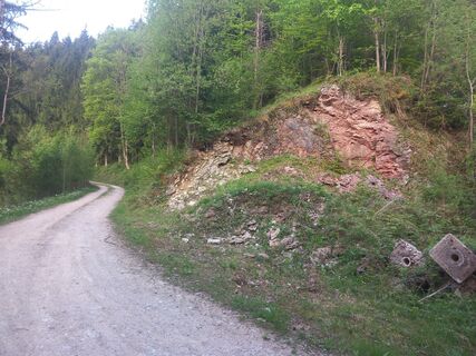
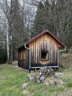
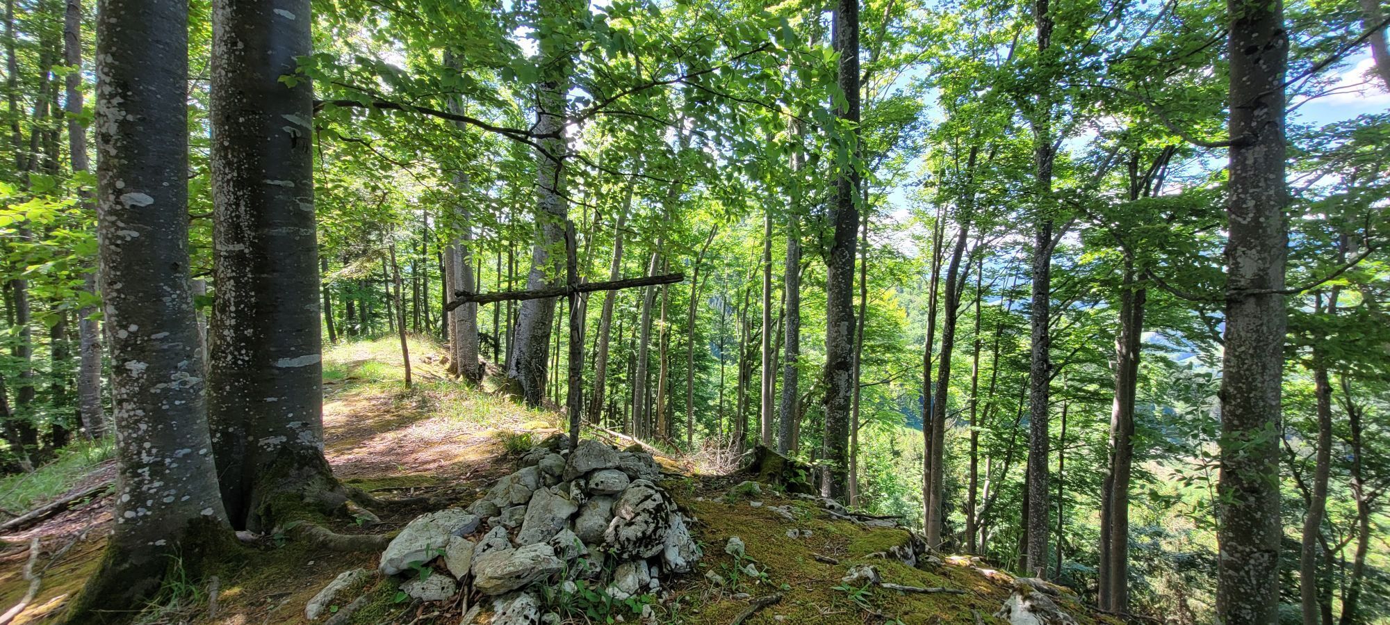
From the Großraming train station parking lot along the marked trail E43 to the Hagauer farm, also known as Kronsteiner, and further along the forest road through dense forest to an alpine hut. Just above the hut, a tractor path leads to Prennhöhe, where in the middle of a flower meadow by a wayside shrine, there is also a bench.
Áno
By train: the Ennstalbahn runs between Linz and Kleinreifling.
By car from Linz: A1 motorway exit Enns-Steyr > B115 into the Enns valley
By car from Vienna: A1 motorway exit Amstetten West > Waidhofen / Ybbs > Weyer > Großraming
Train station parking lot
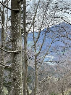
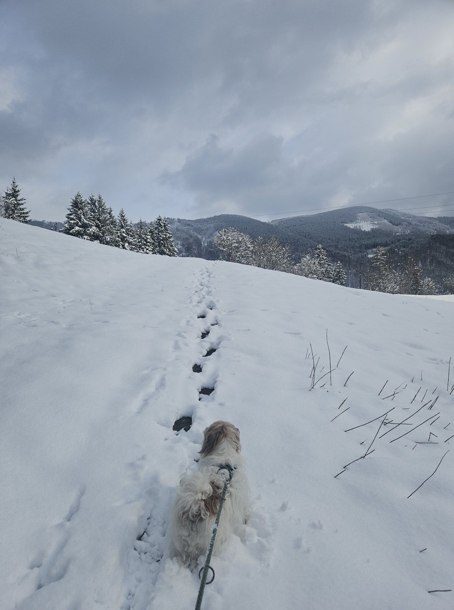
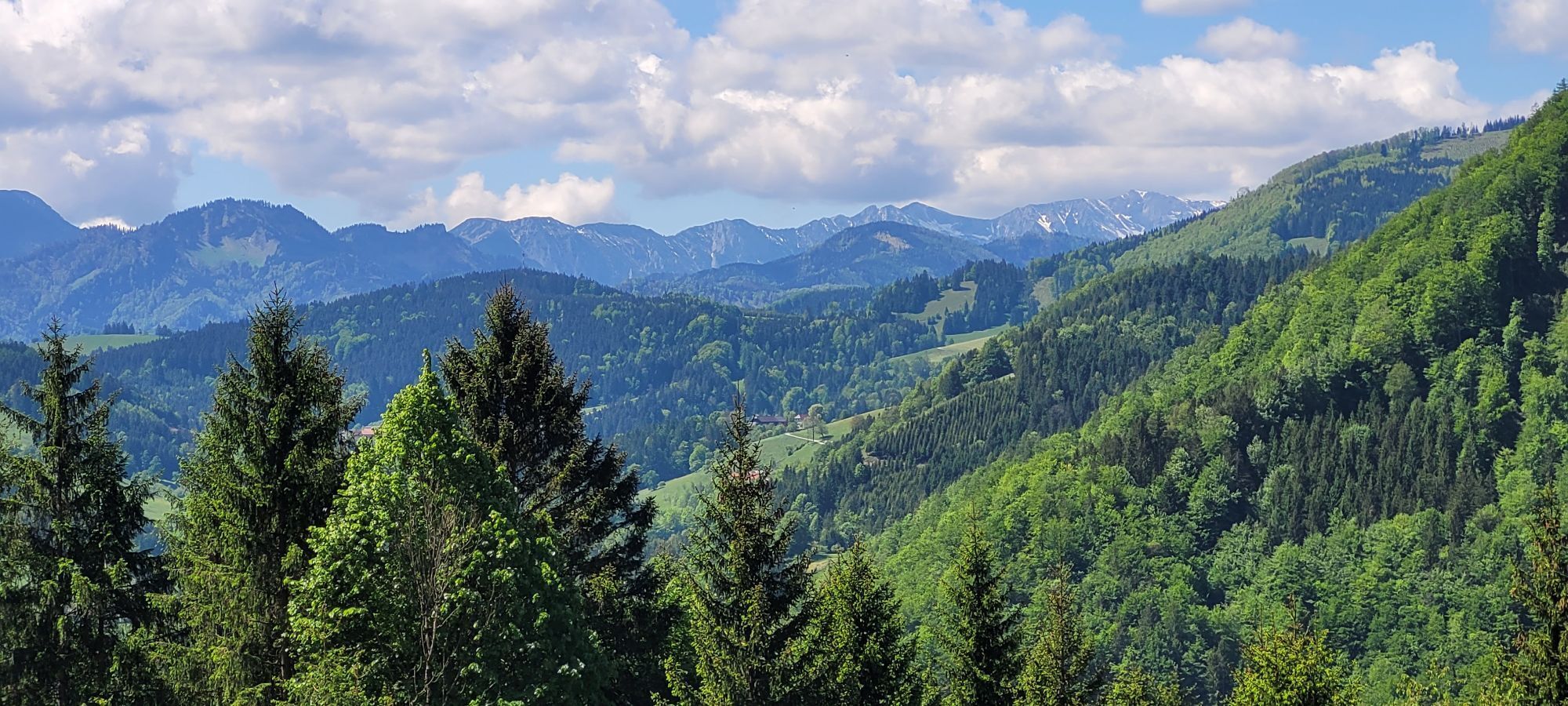
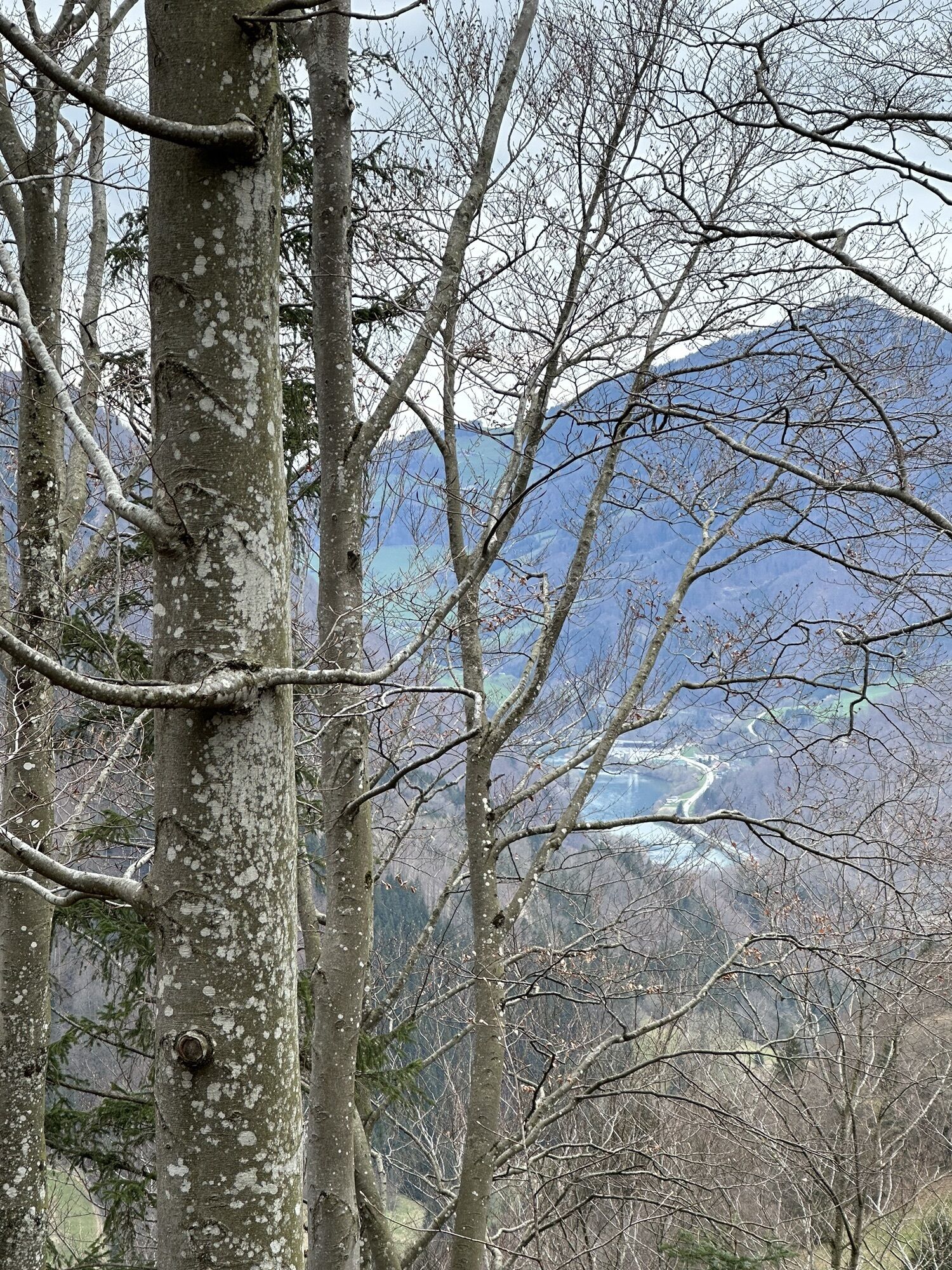
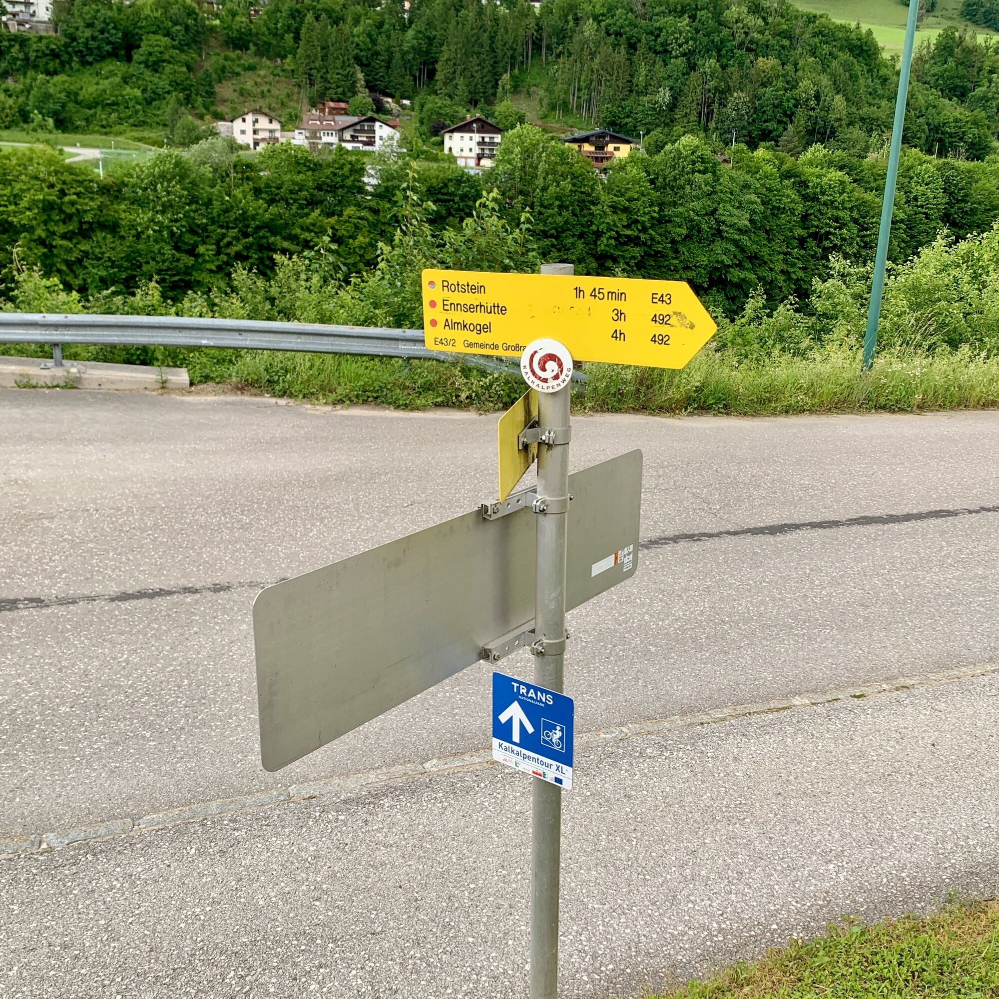
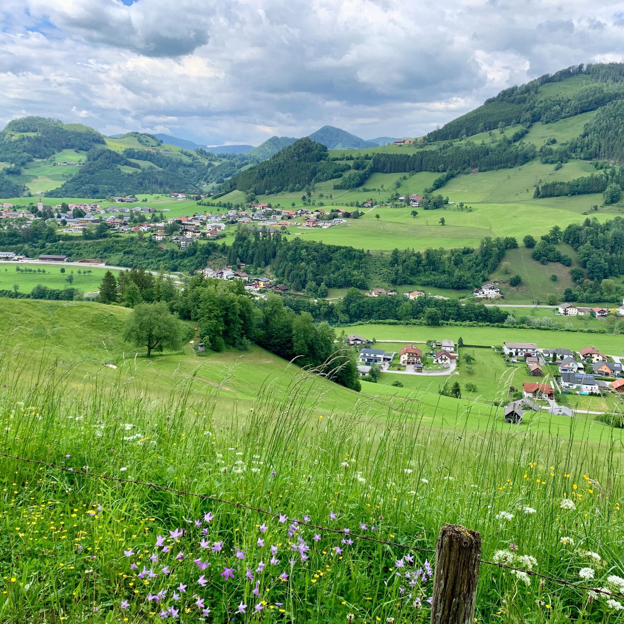
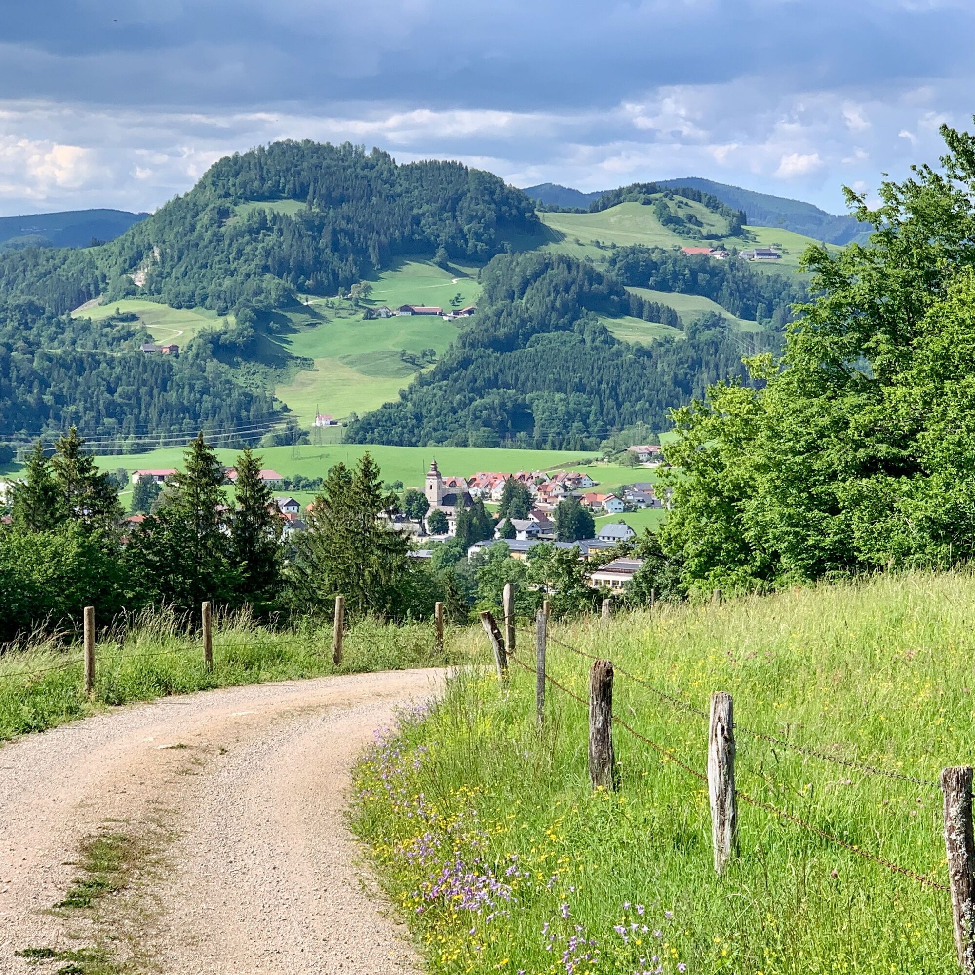
From Prennhöhe, it is not far to the summit of Rotstein, a beautiful viewpoint over Großraming and the Lumplgraben valley reaching into the Kalkalpen National Park. For the return route, you can take the path to Hinterlangerbauern, from where you hike back to the starting point through the Lumplgraben. Also recommended as a winter hike.


Obľúbené výlety v okolí
-
4,9
Ennser Hut - Almkogel (from Bamacher car park)
strednáTuristika 3,53 km -
4,8
Steinerner Jäger (1185m) und Schieferstein (1206m) ab Parkplatz Hochhabichler
strednáTuristika 4,46 km -
4,7
GROSSRAMING Bamacher, Burgspitz, Almkogel, Ennshütte 20240730
strednáTuristika 10 km -
4,3
Freithofberg
strednáTuristika 9,15 km -
4,6
Steinerner Jäger (1185m) und Schieferstein (1206m) ab Parkplatz Hack
ťažkéTuristika 8,58 km -
4,2
Sonnkogel (1177m) und Hohe Dirn (1134m) ab Parkplatz Hohe Dirn
strednáTuristika 7,71 km -
4,4
Kleine Gipfelrunde Glasenberg
svetloTuristika 4,99 km -
3,8
Lindaumauer (1103 m)
Turistika 3,40 km -
4,8
R9 Hintergebirgsradweg
strednáCyklistika 29,1 km -
4,5
Lindaumauer, Maria Neustift
strednáTuristika 5,53 km
Turistika a stopovanie


Nenechajte si ujsť ponuky a inšpiráciu na ďalšiu dovolenku
Vaša e-mailová adresa bol pridaný do poštového zoznamu.