


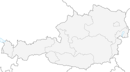


BergeSeen Trail 04: St. Wolfgang - St. Gilgen

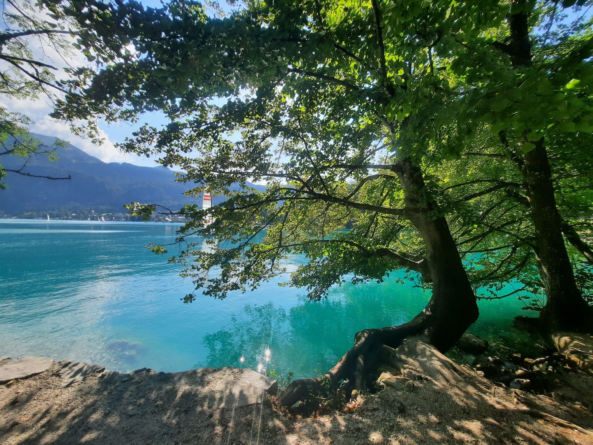
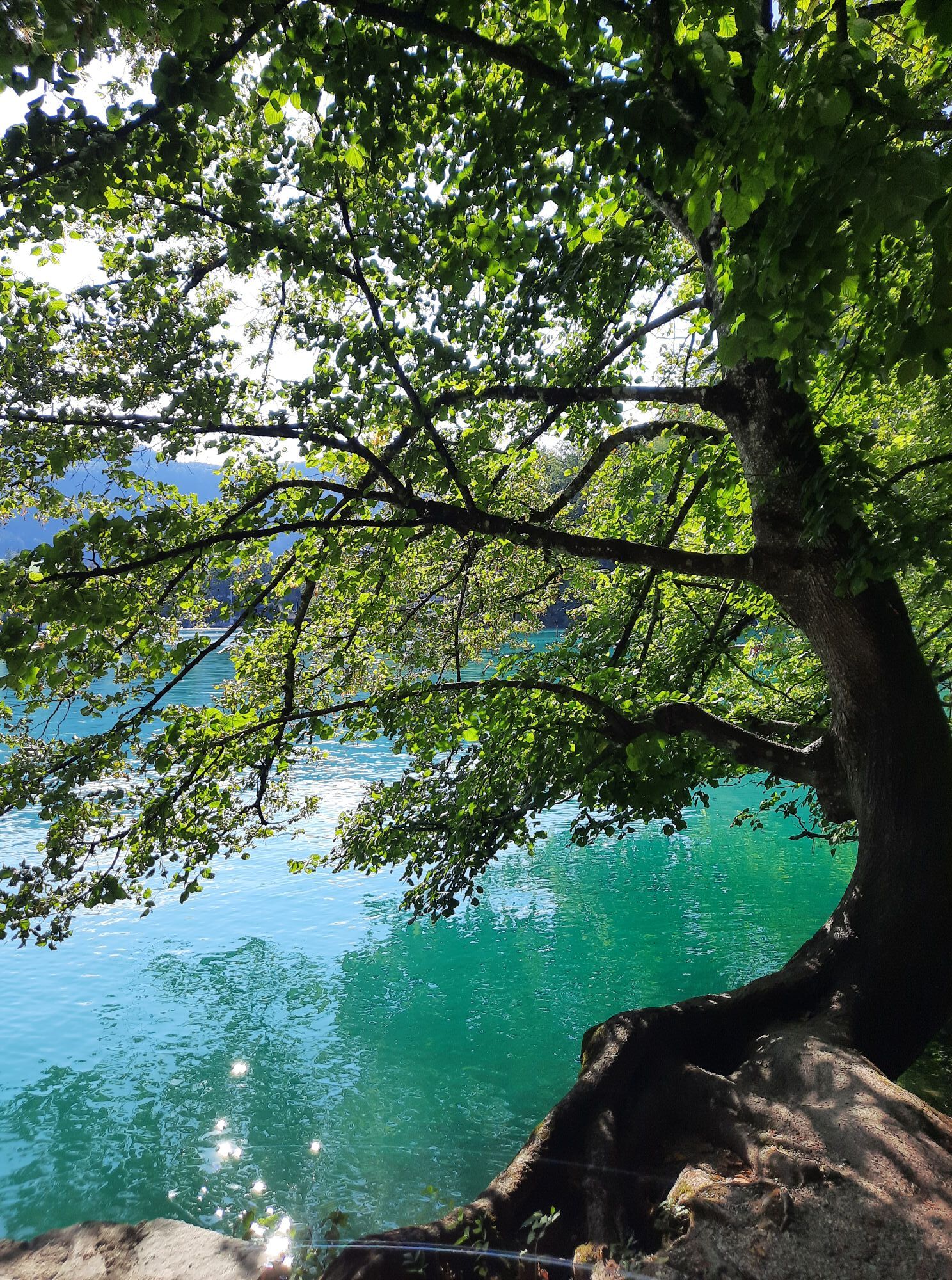
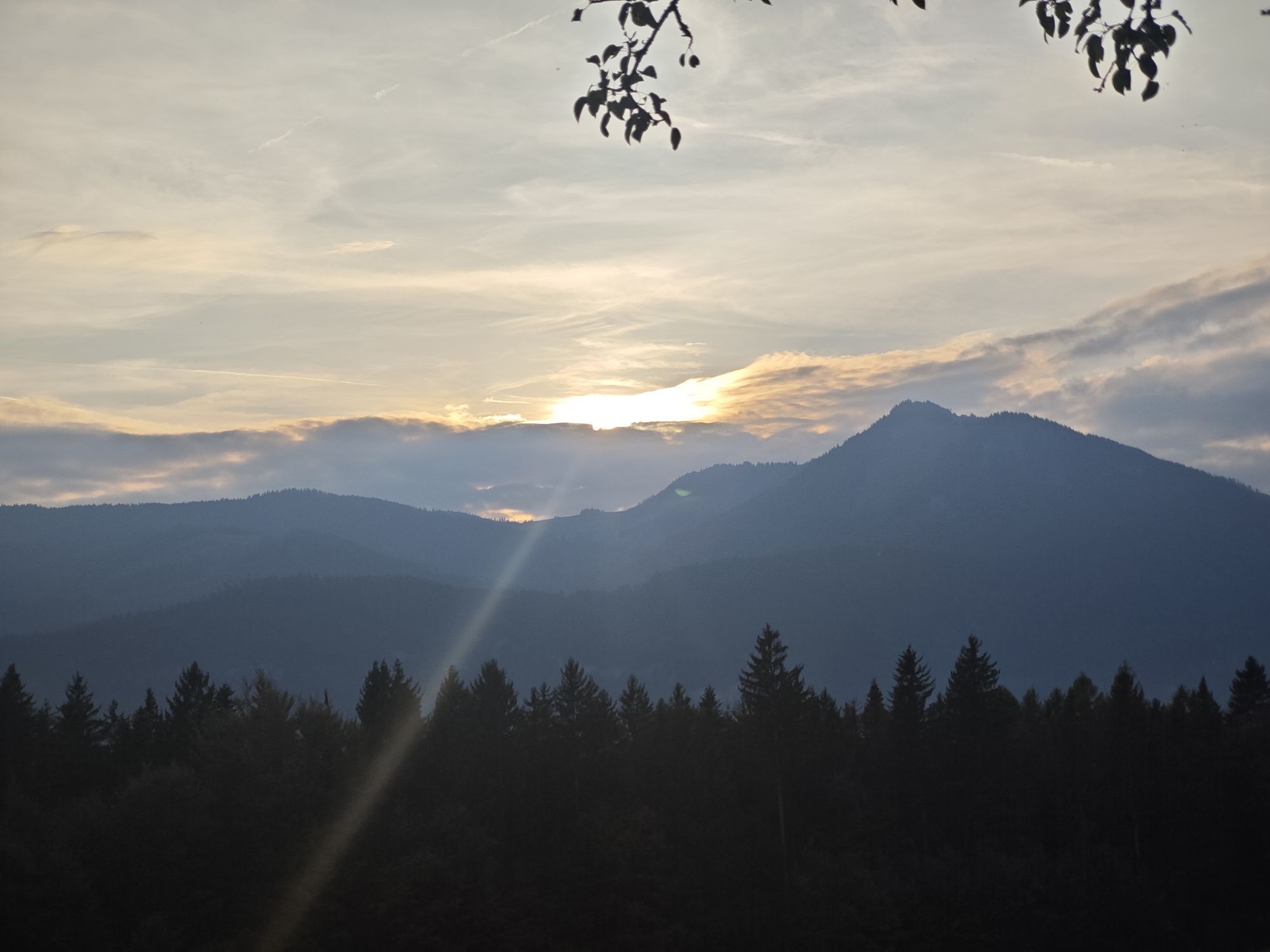
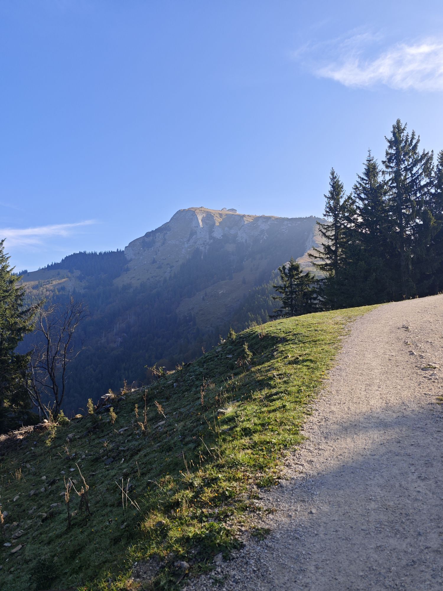
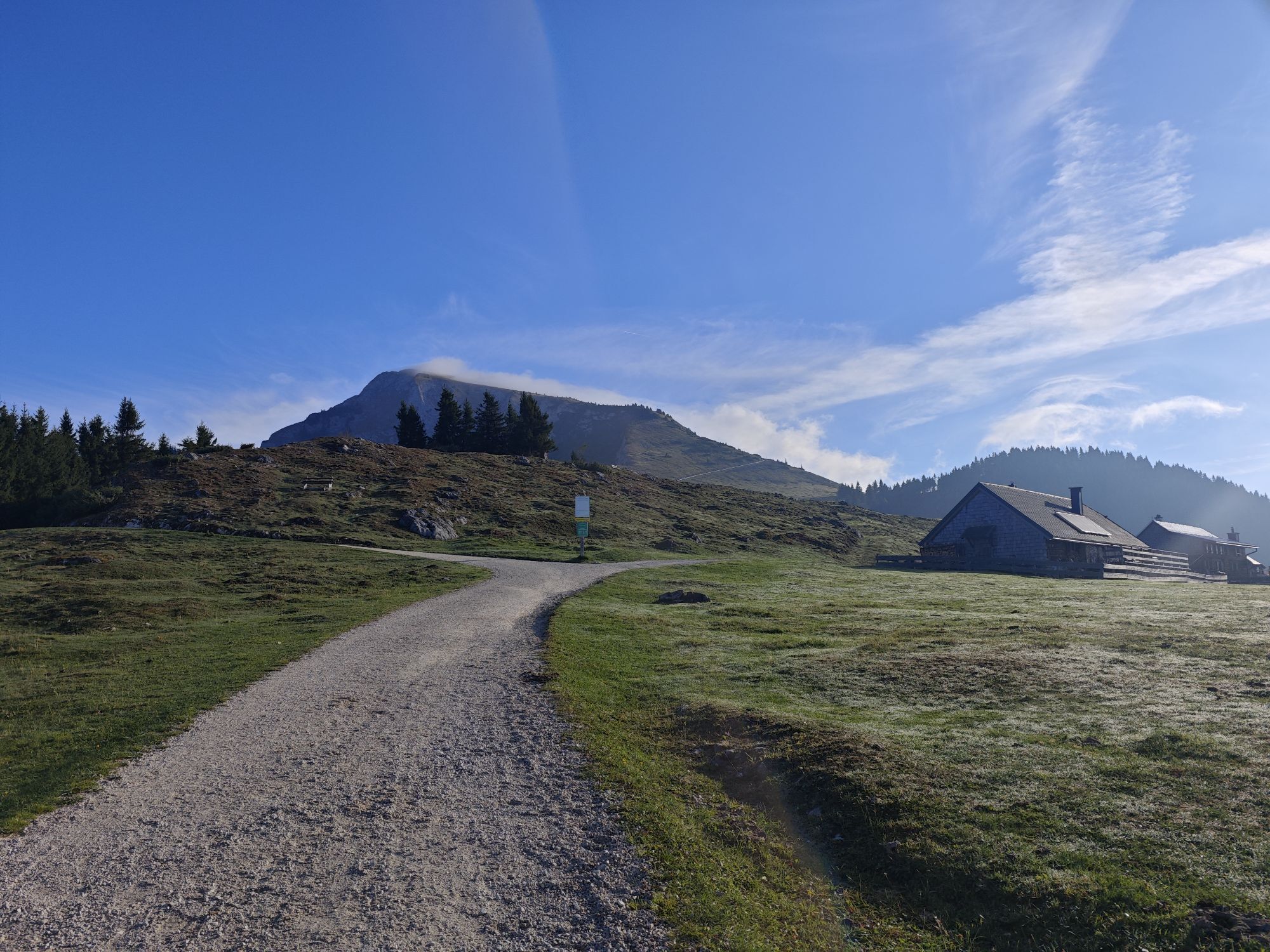
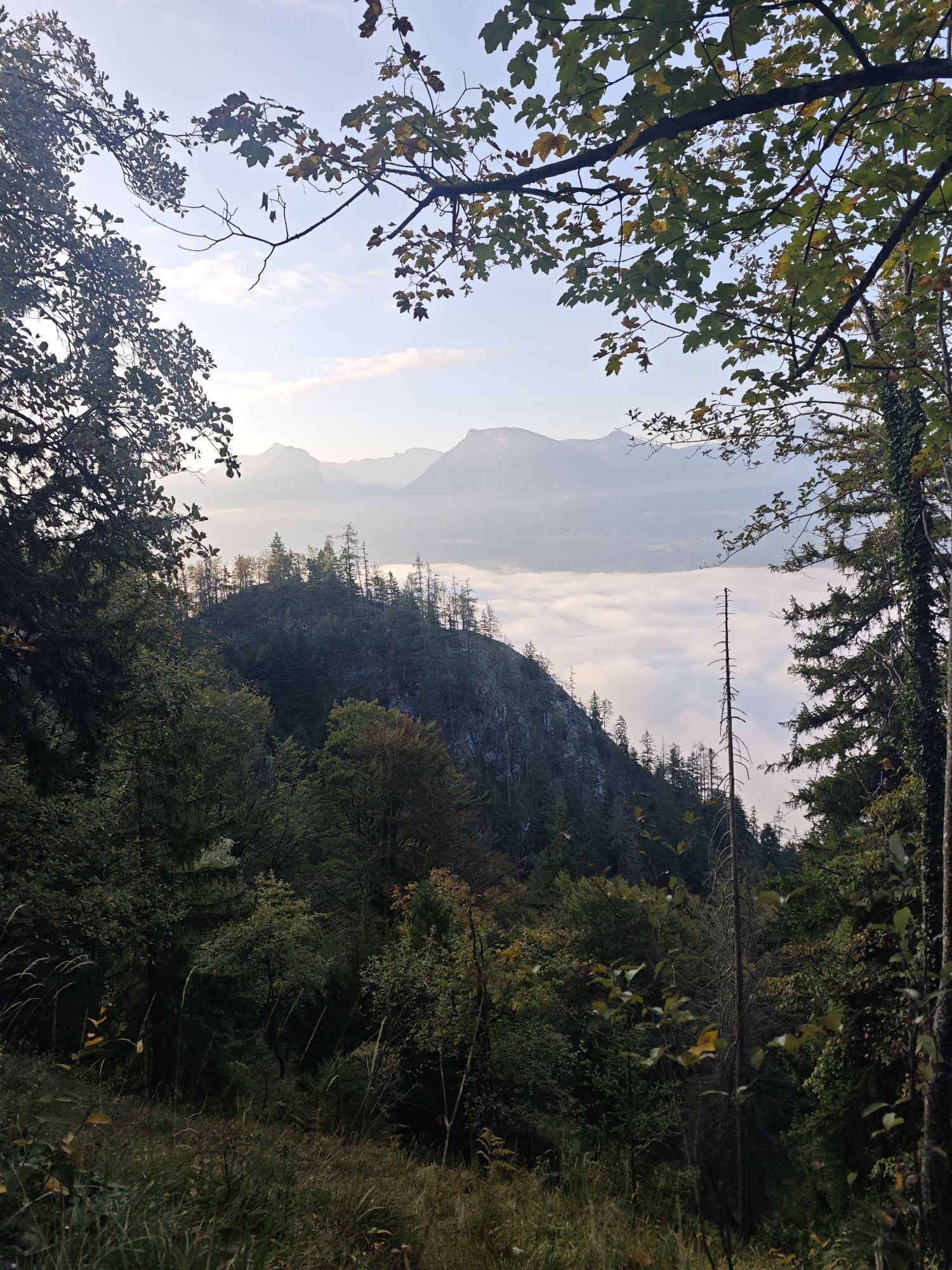
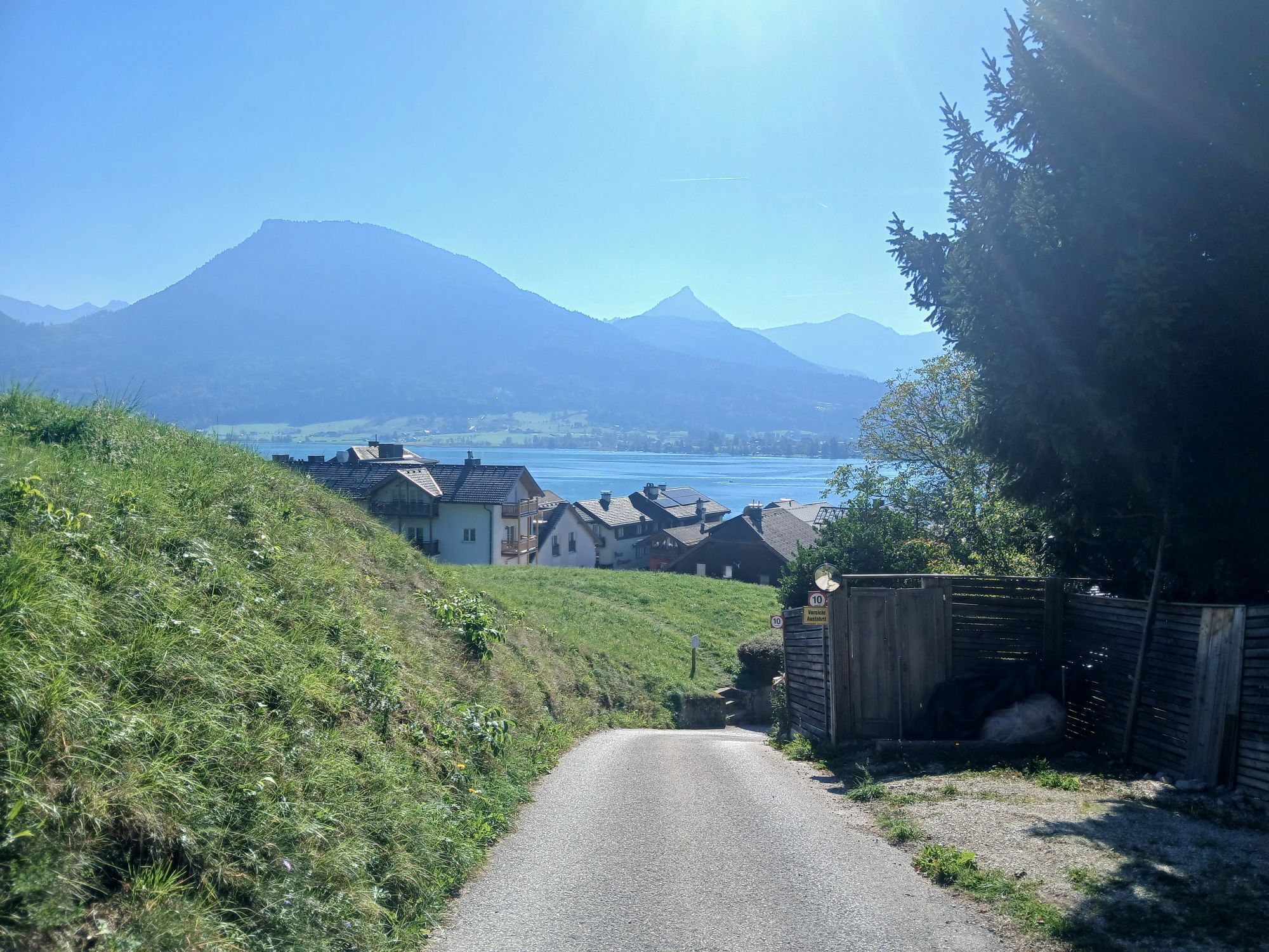
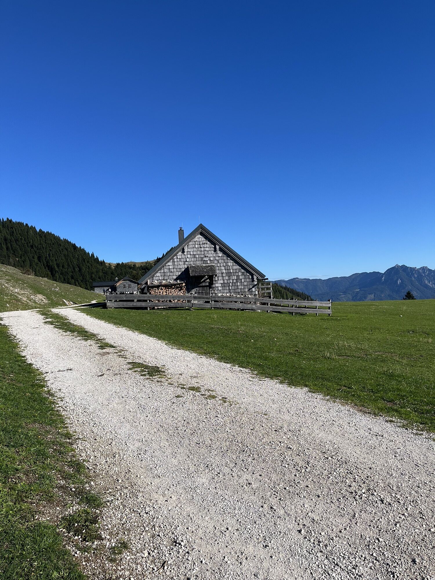
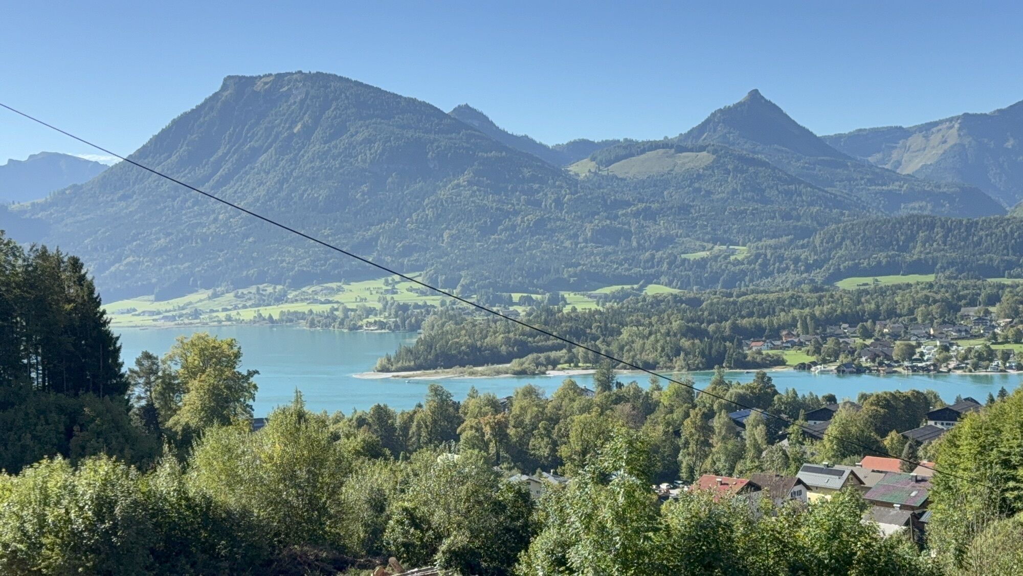
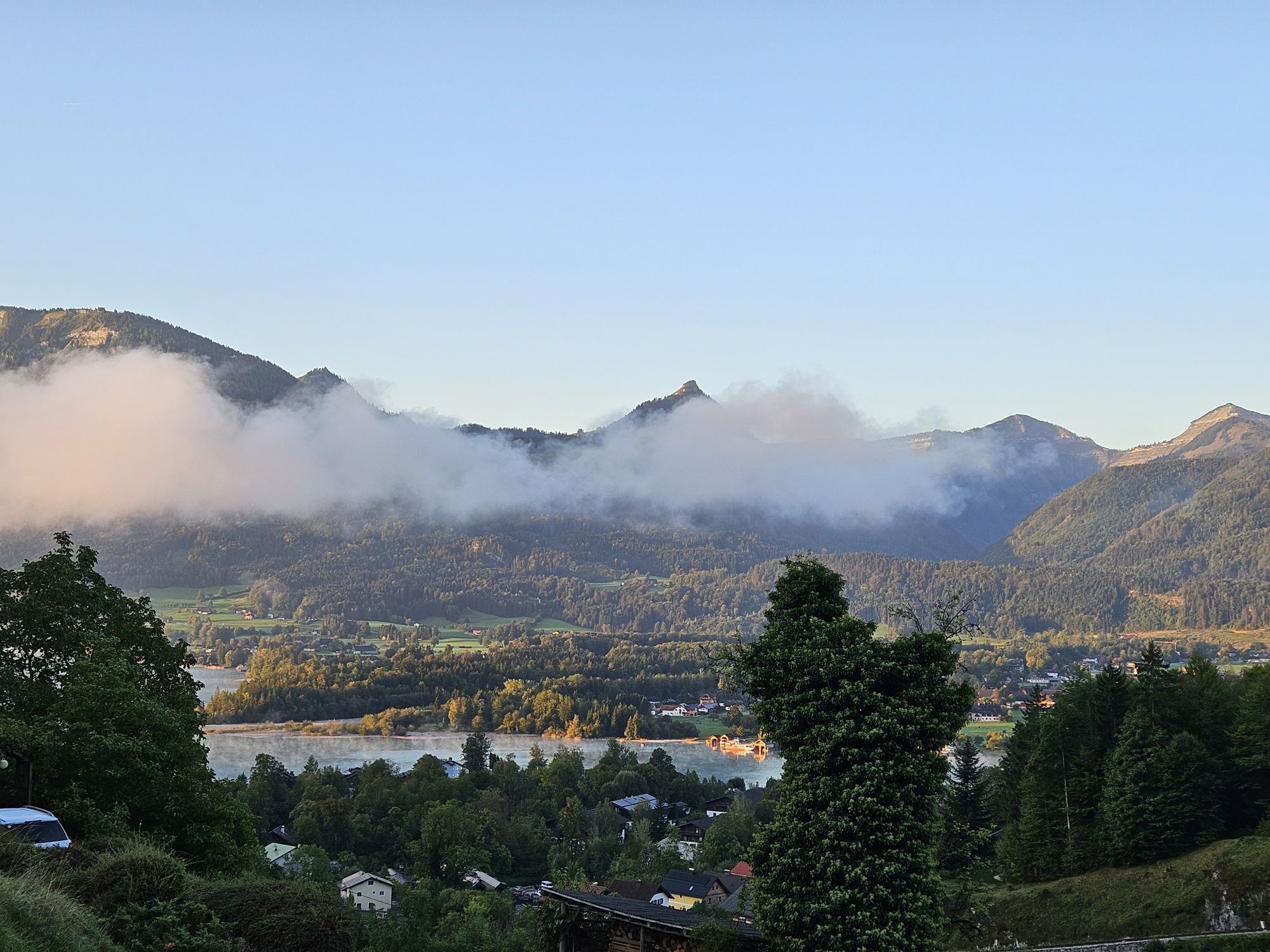
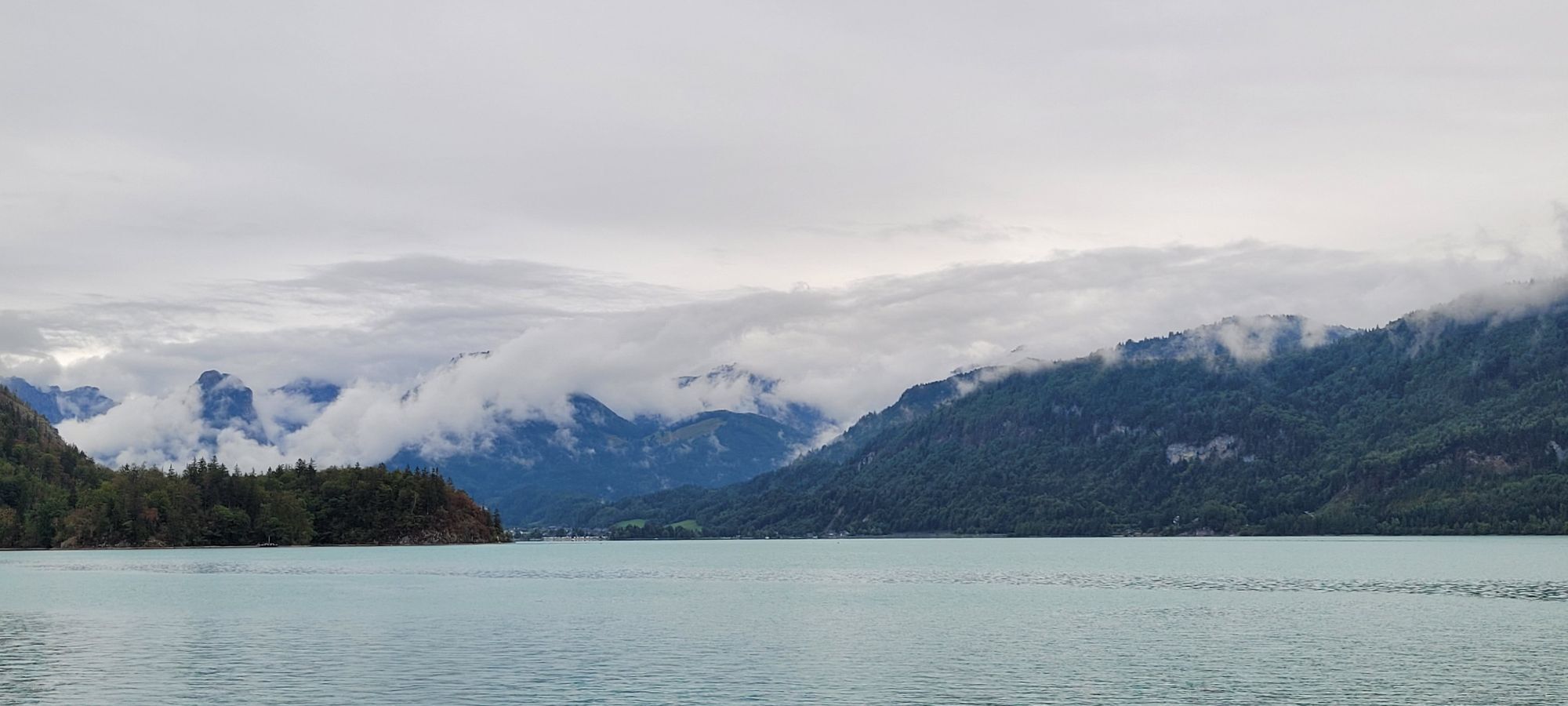
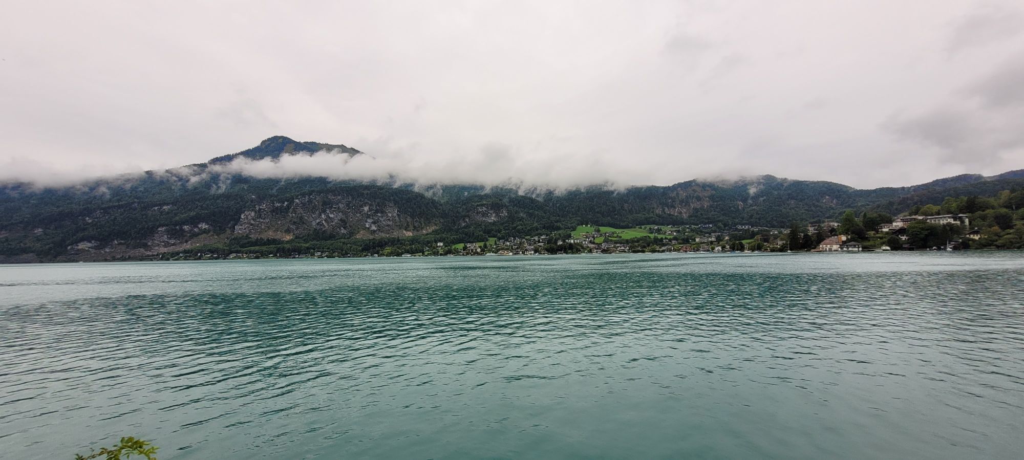
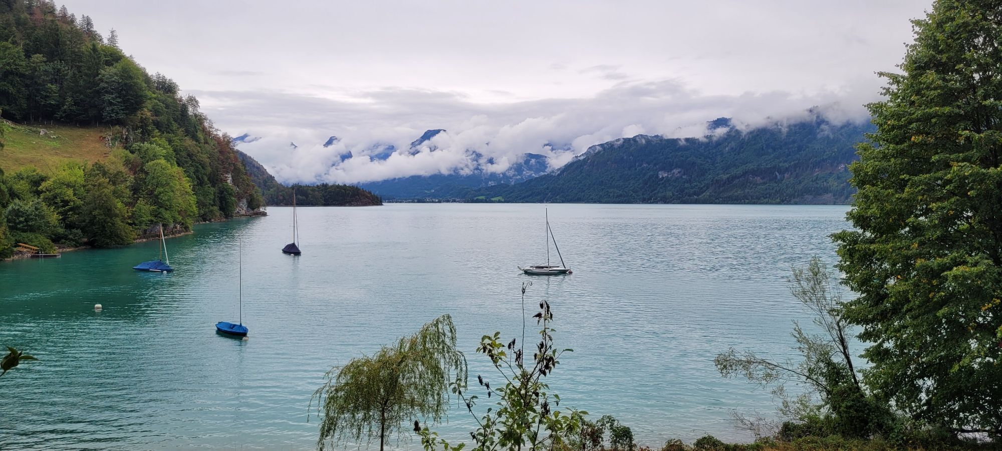
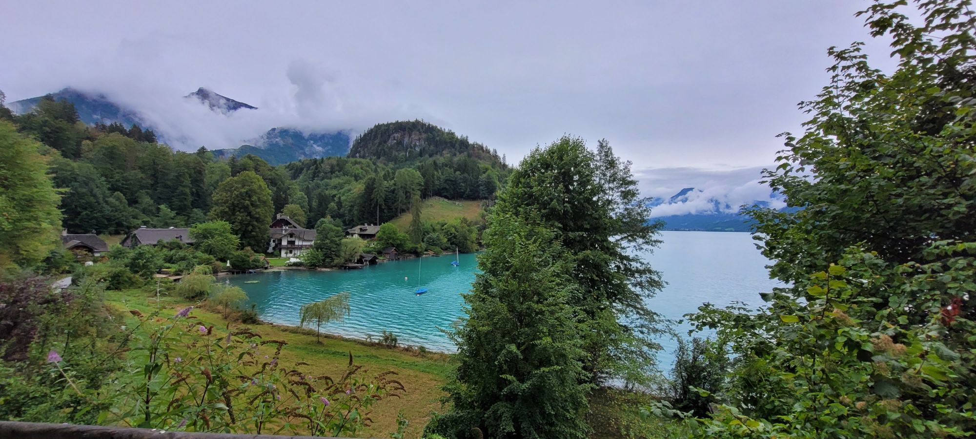
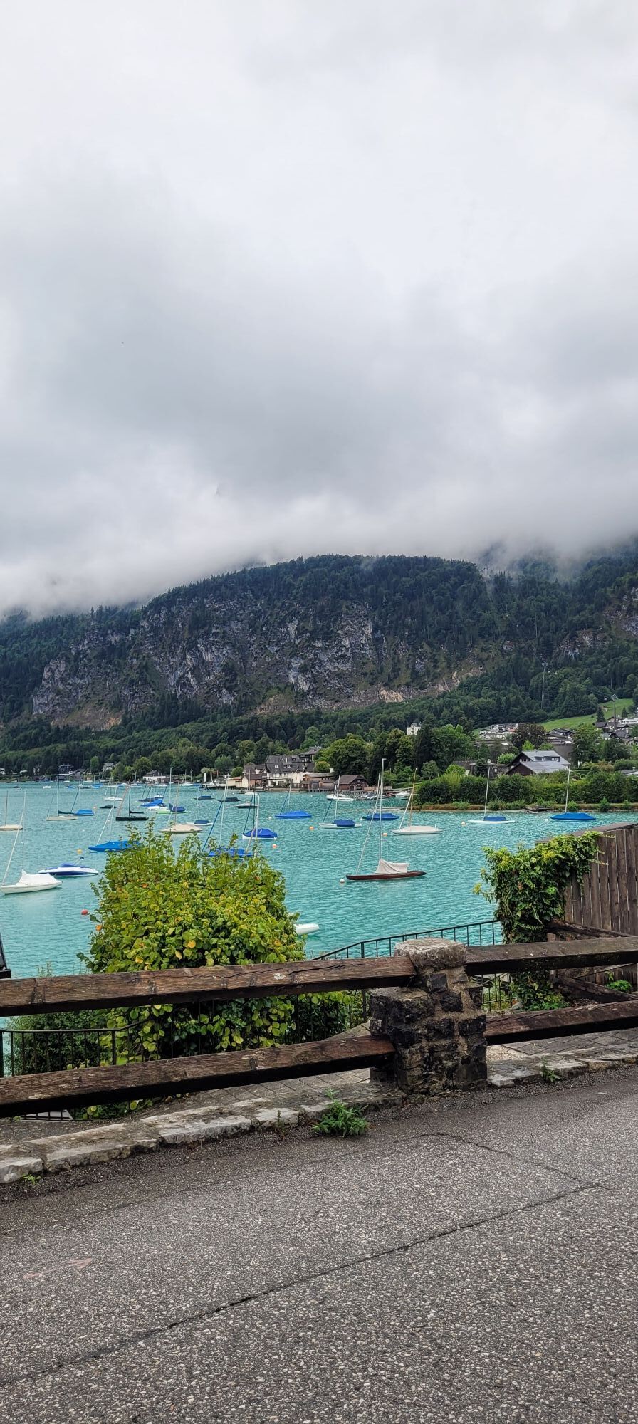
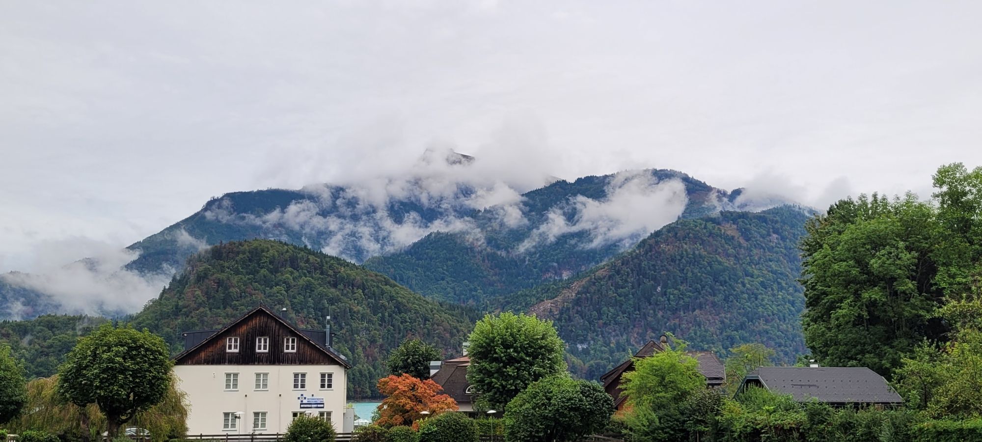
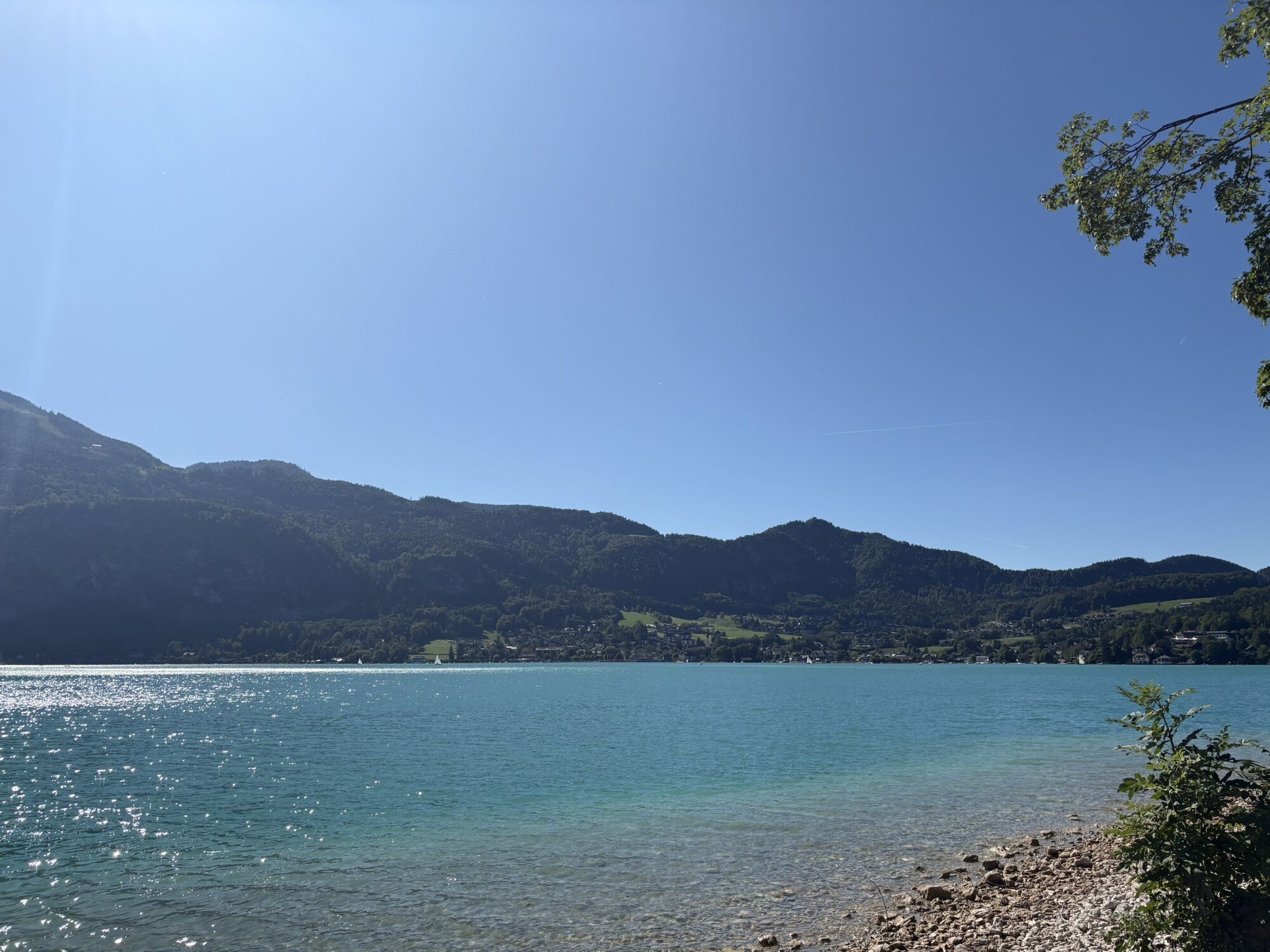
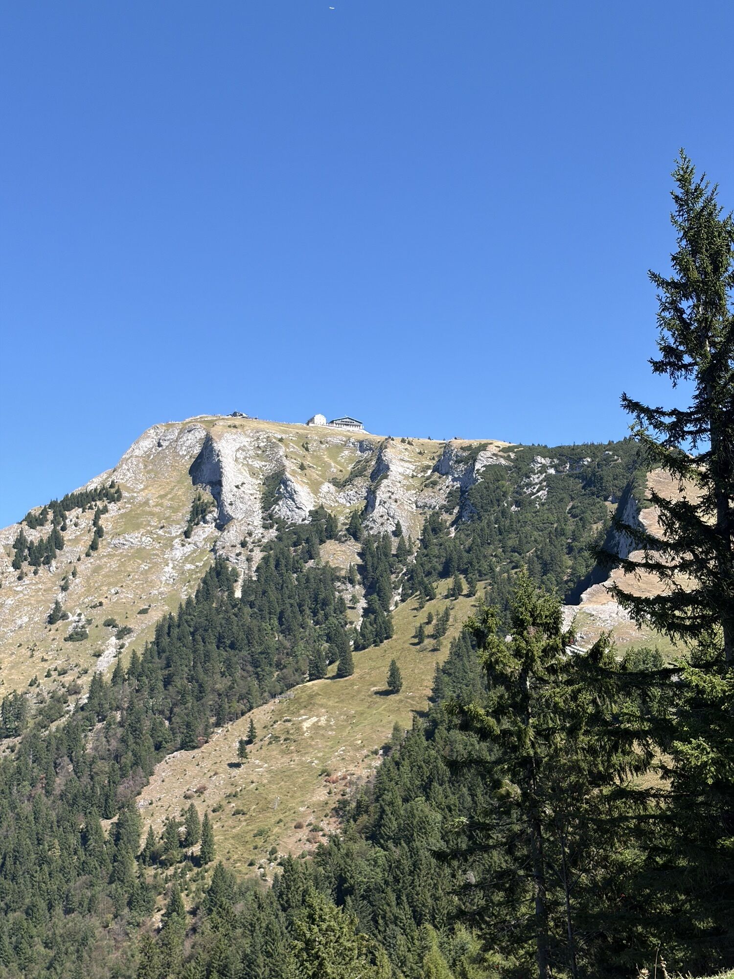
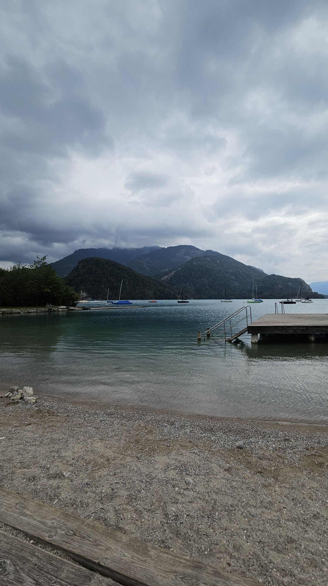
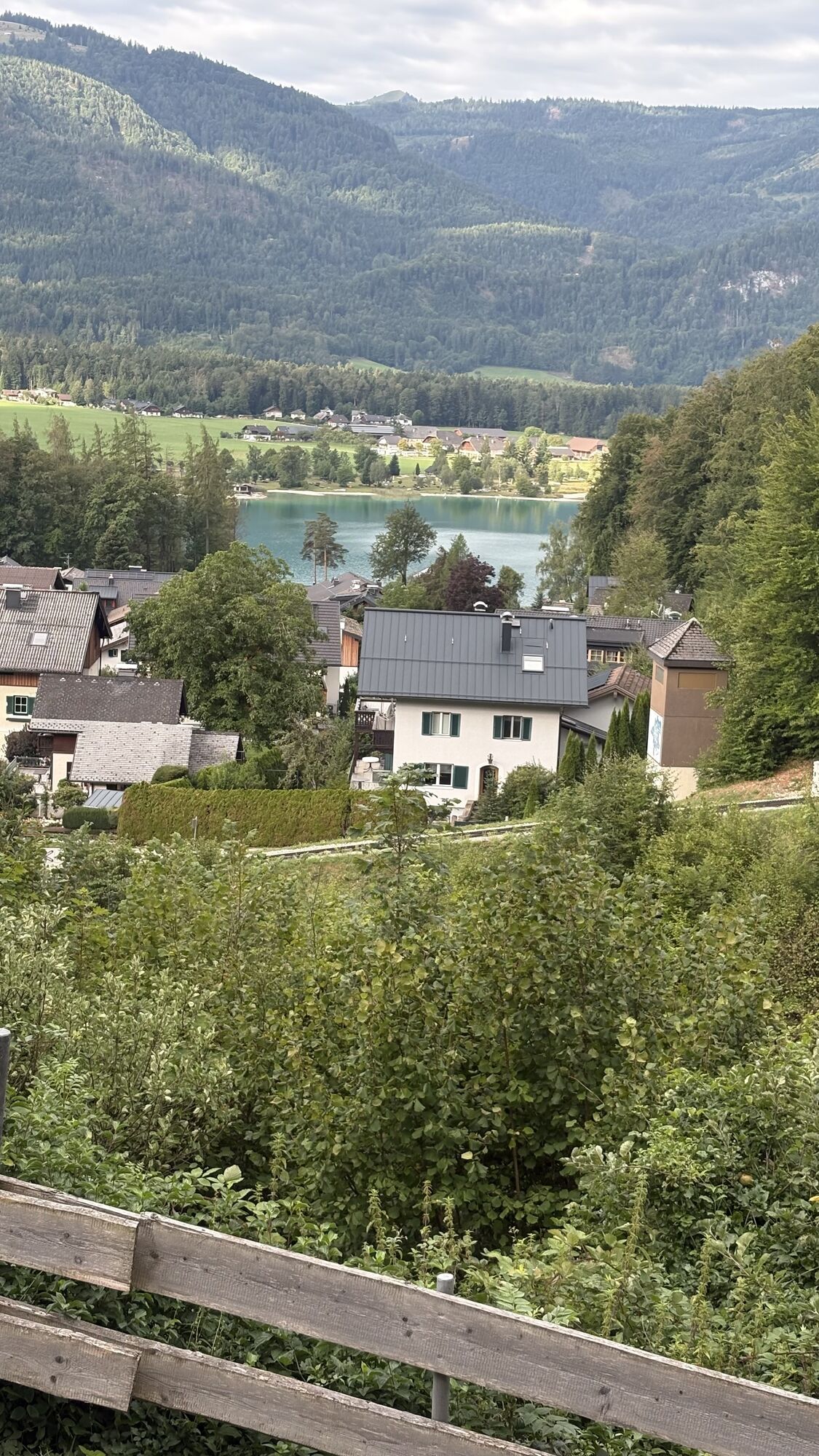
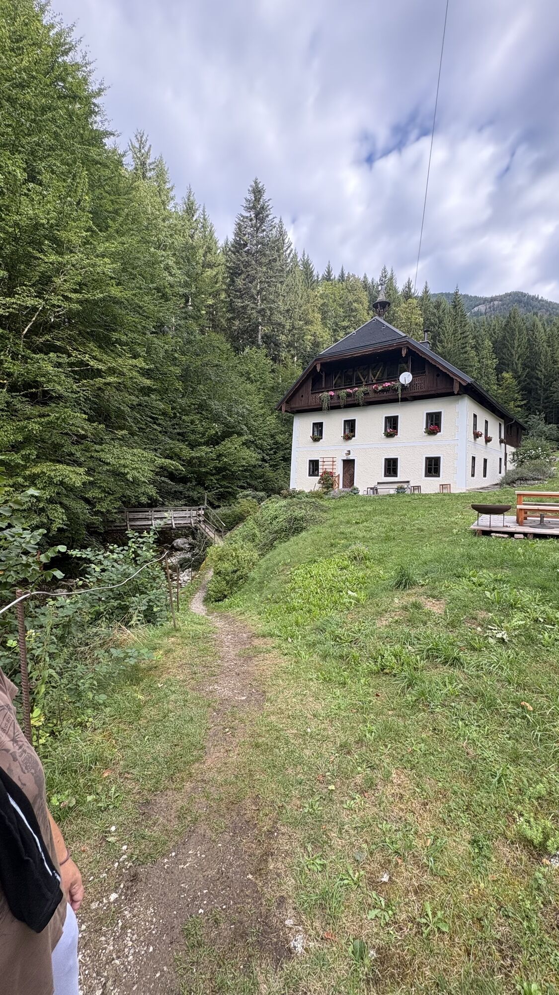
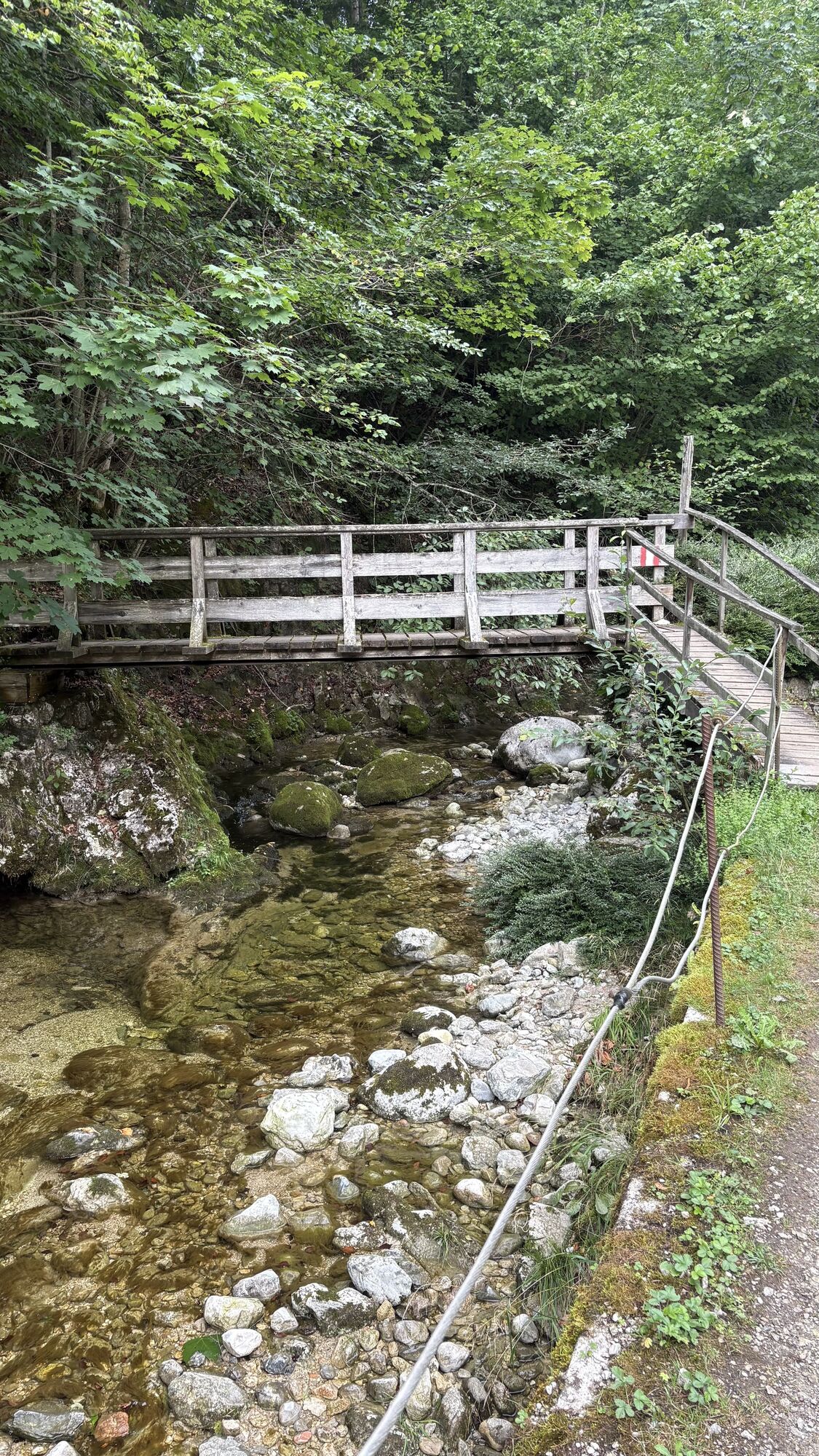
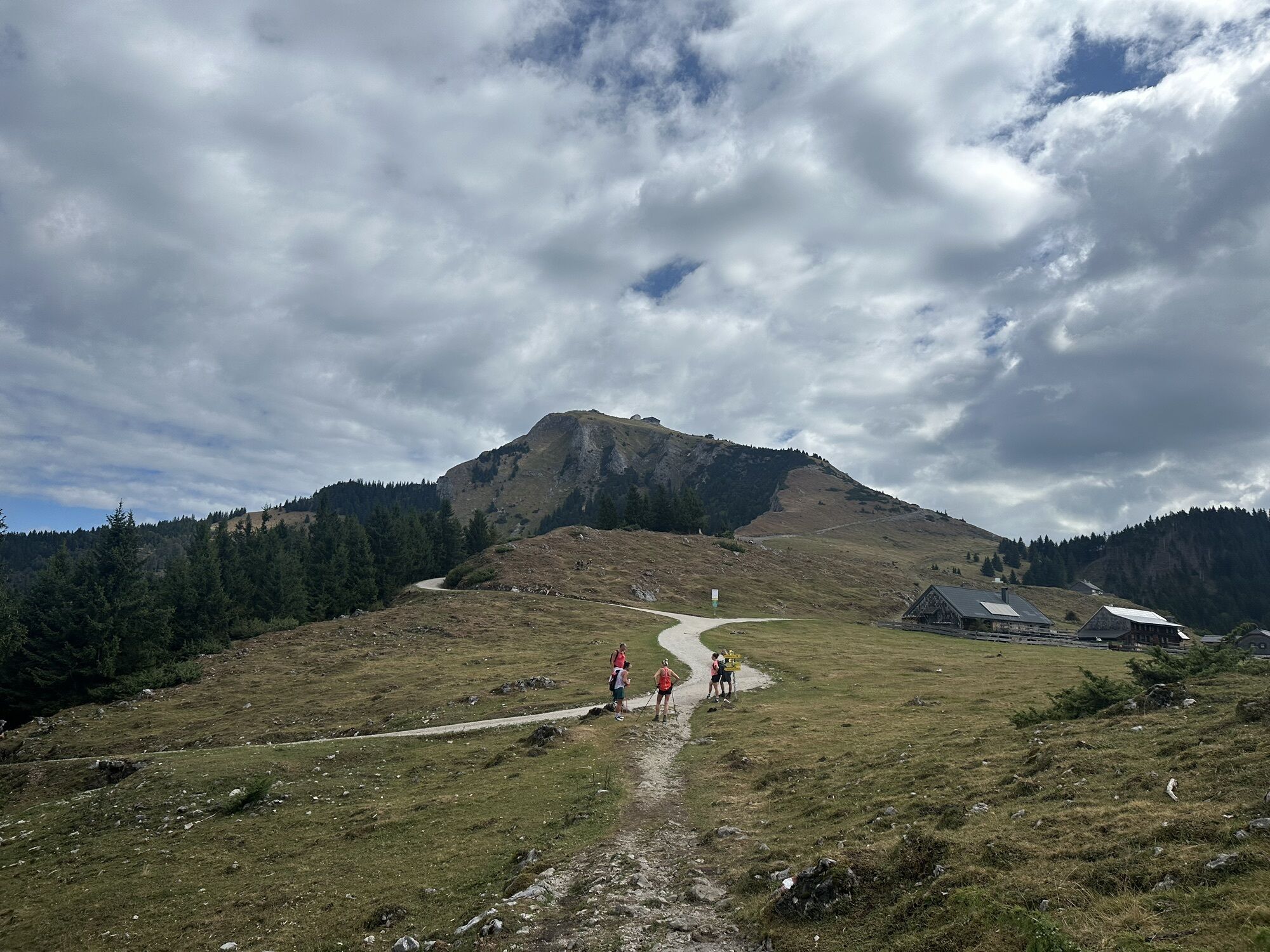
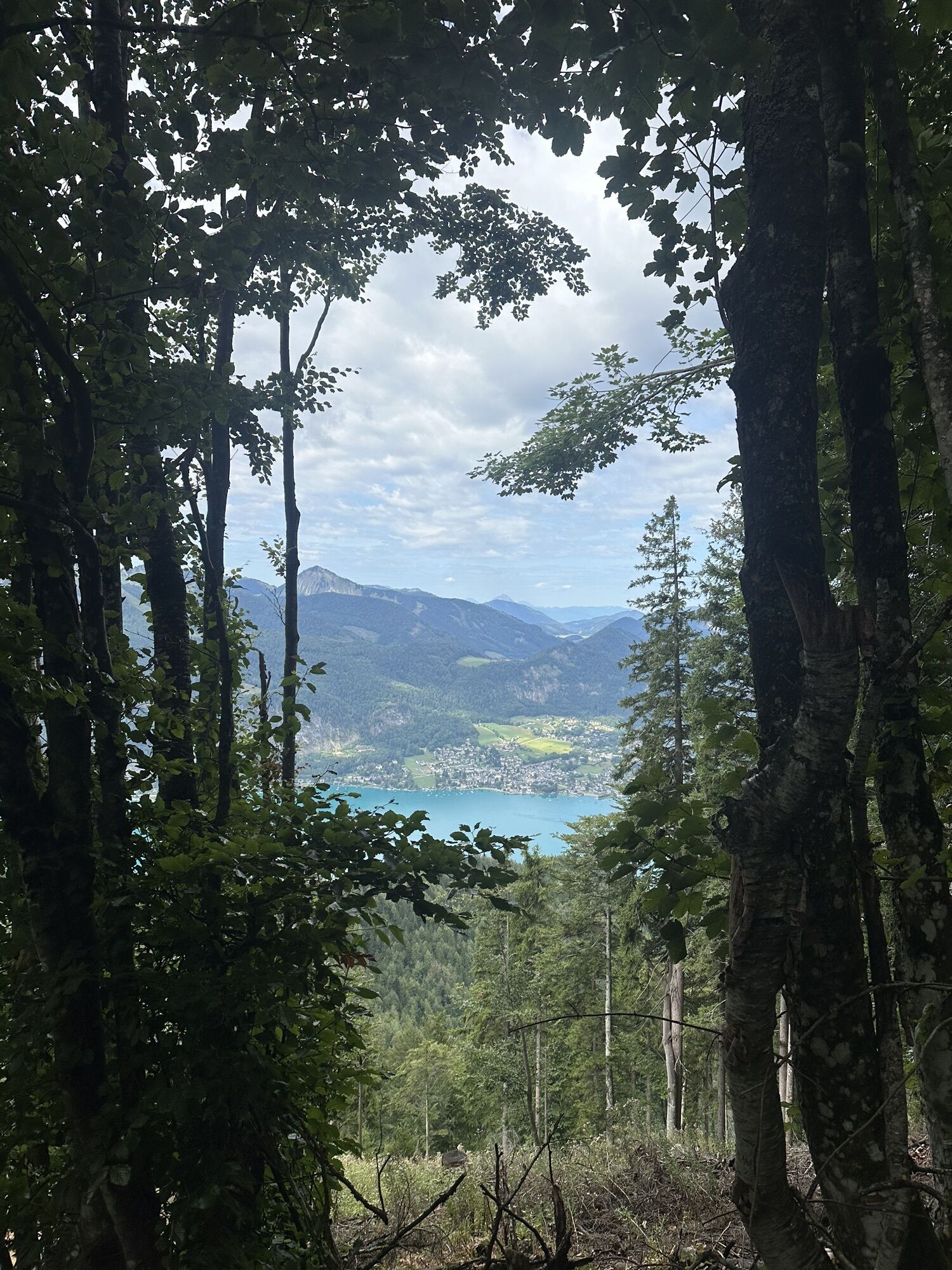
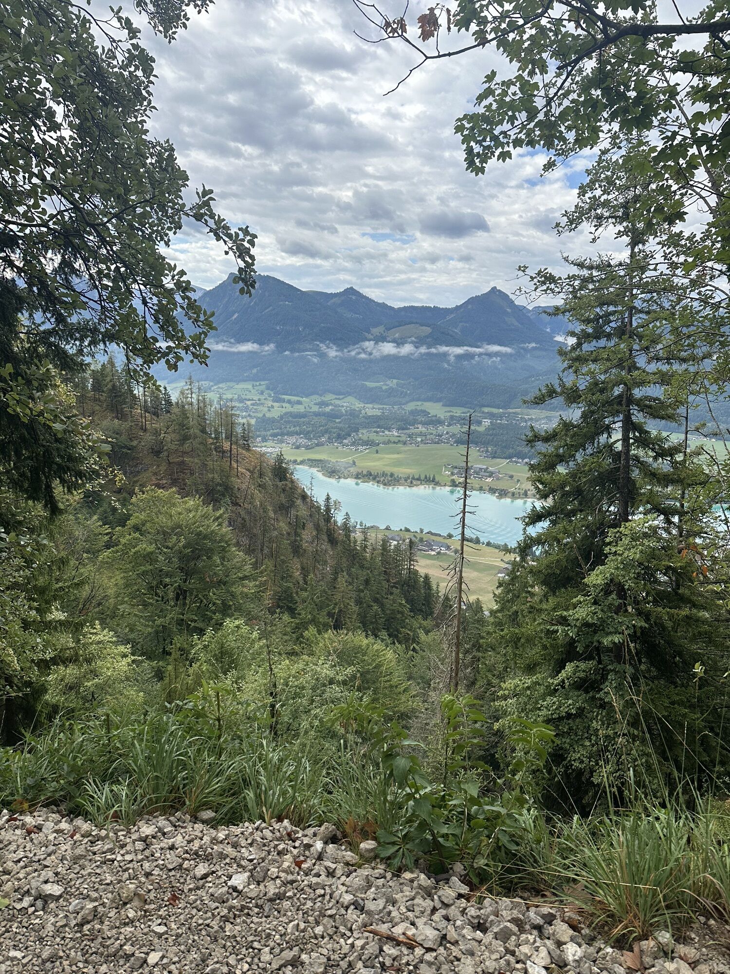
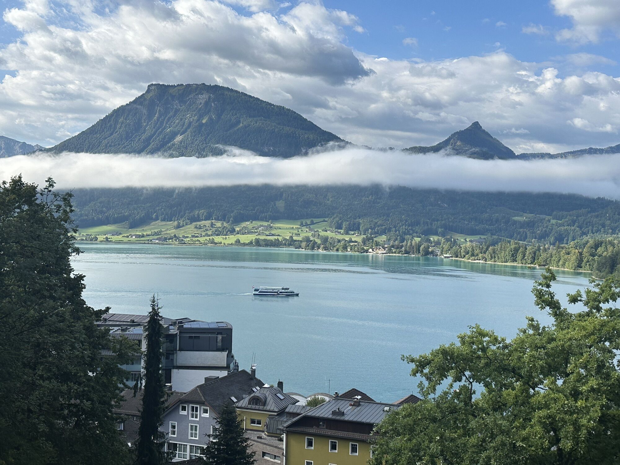
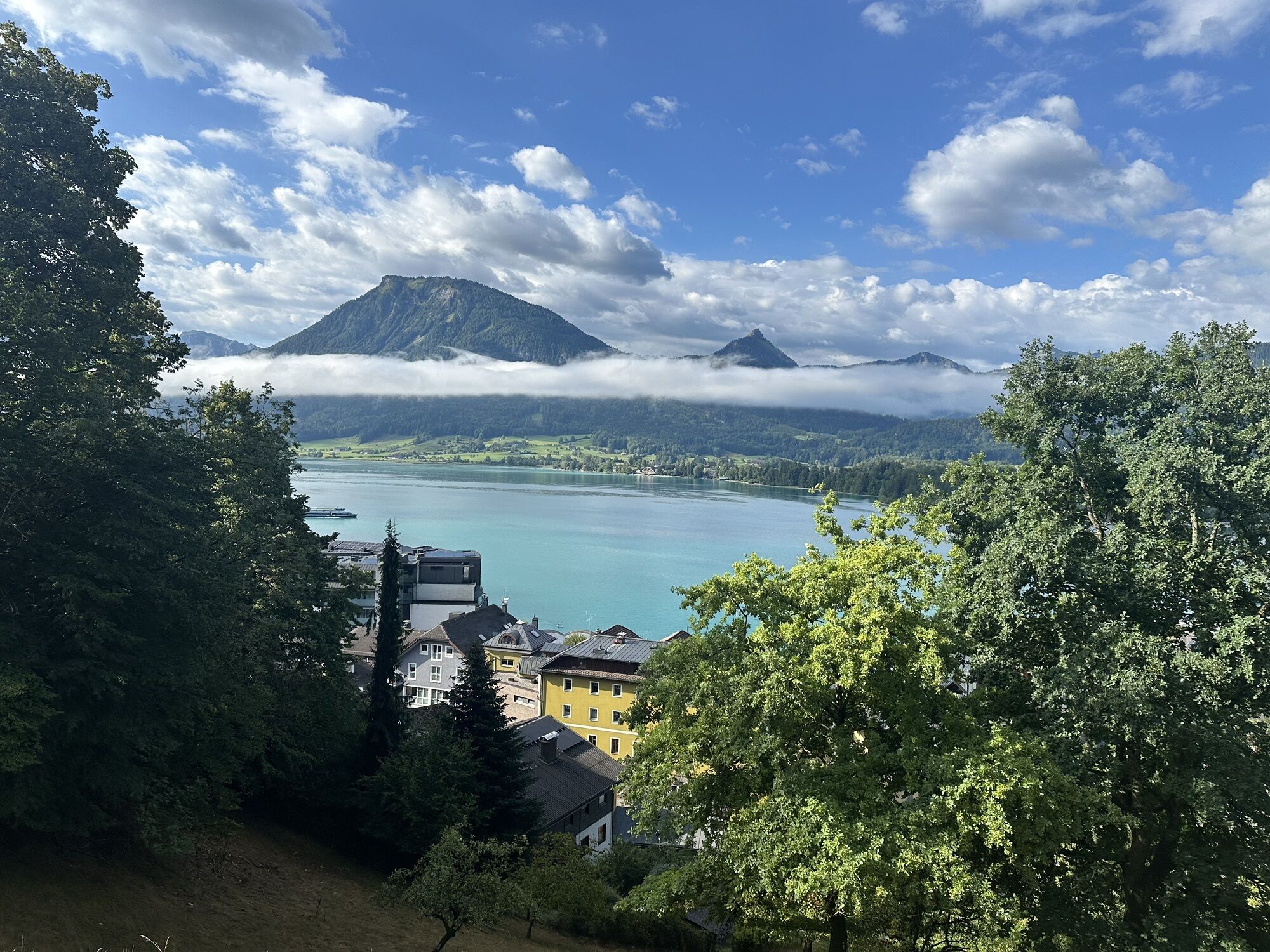
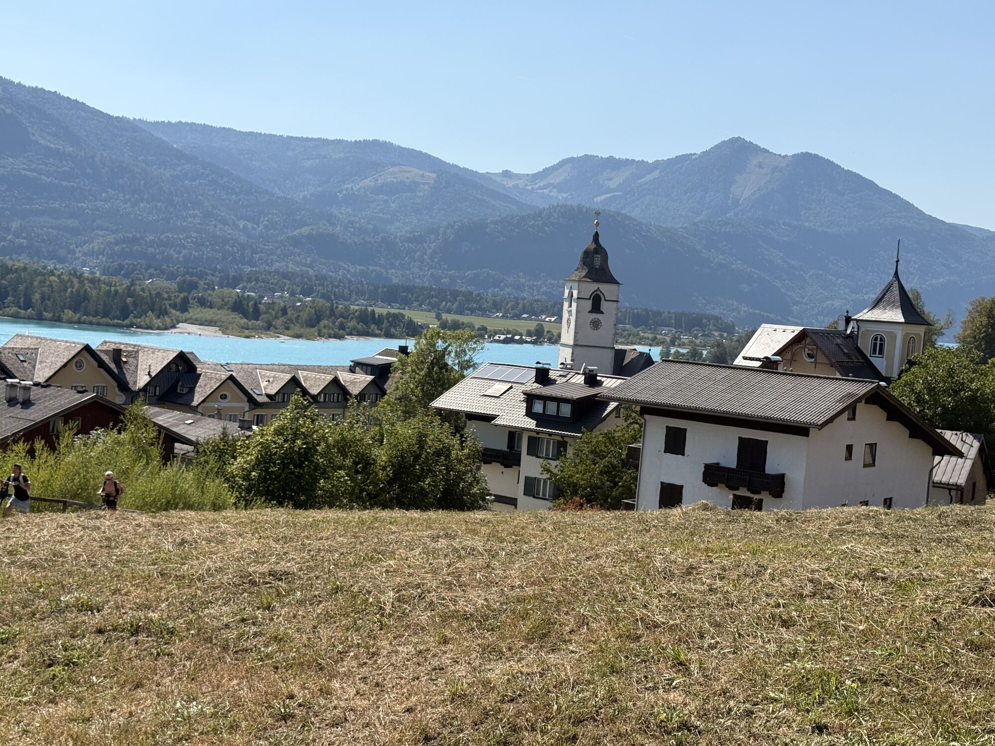
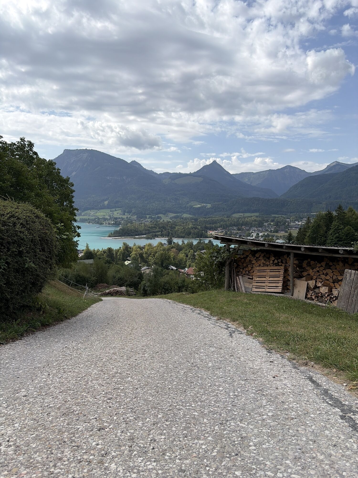
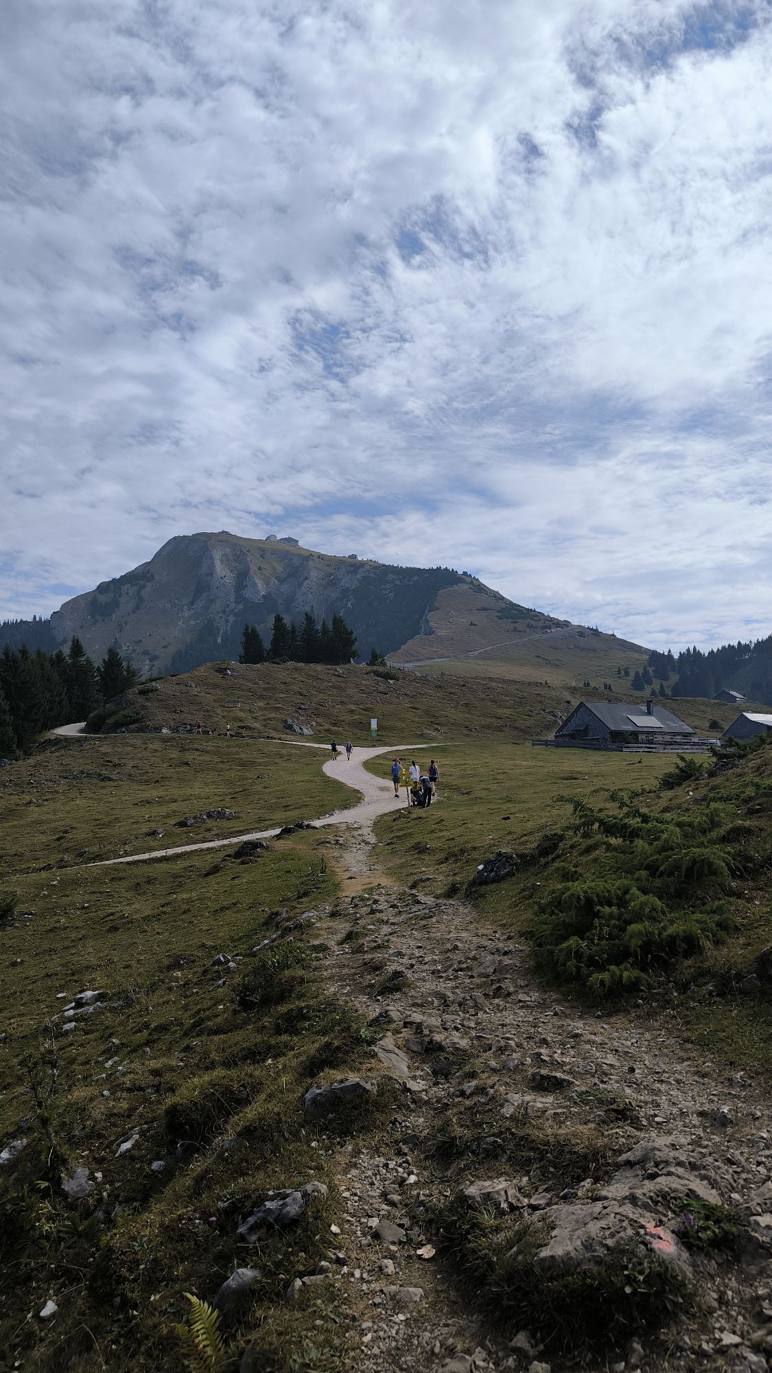
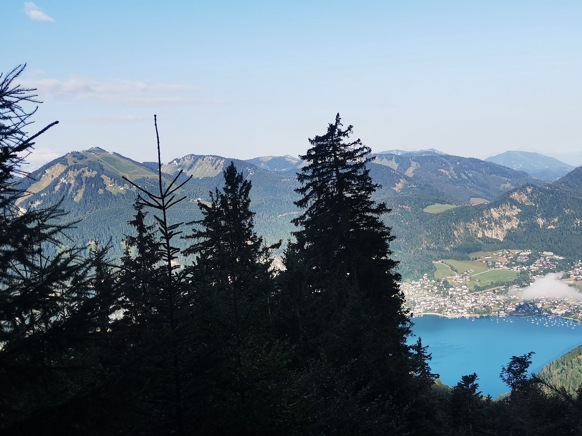
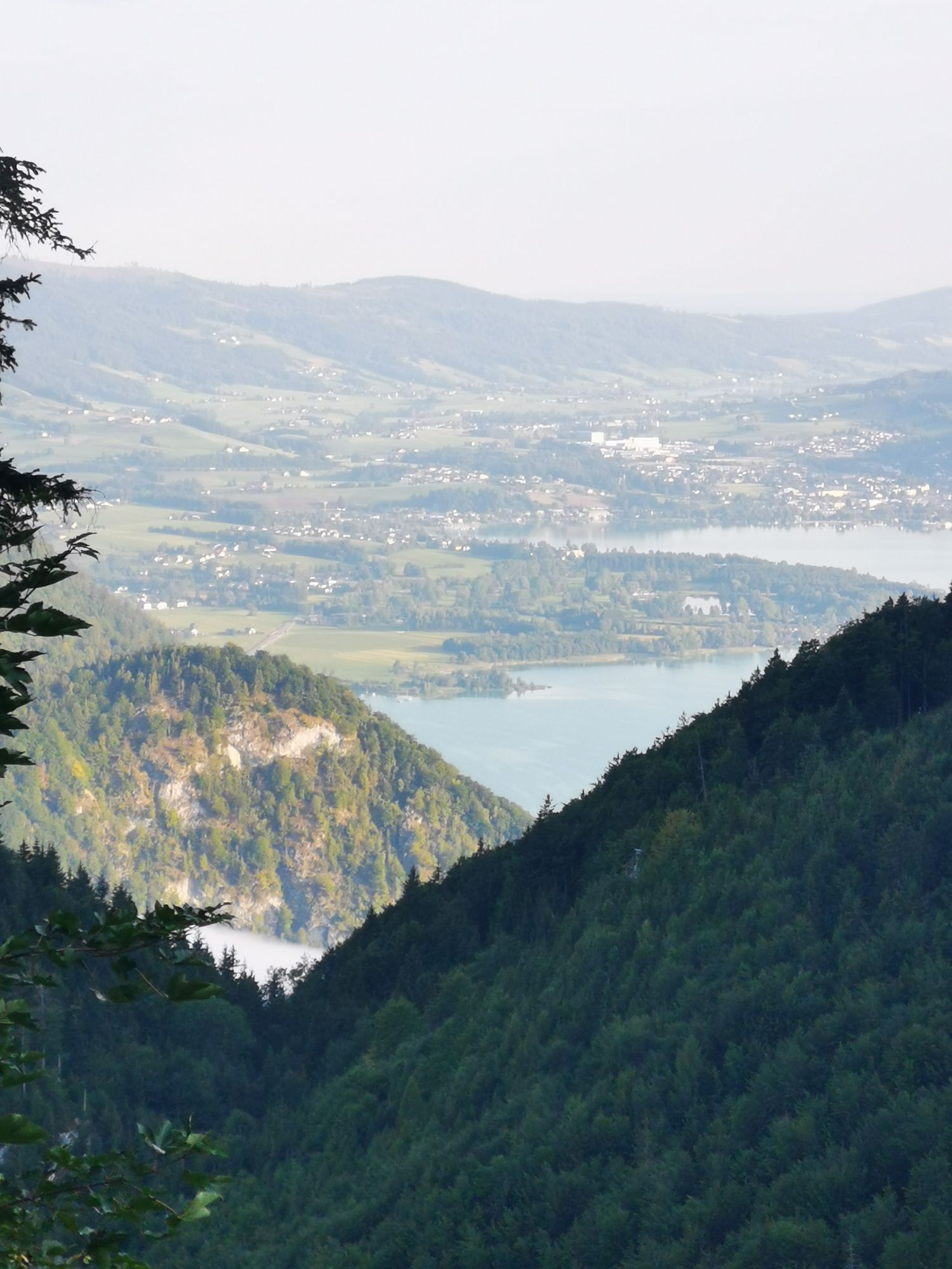
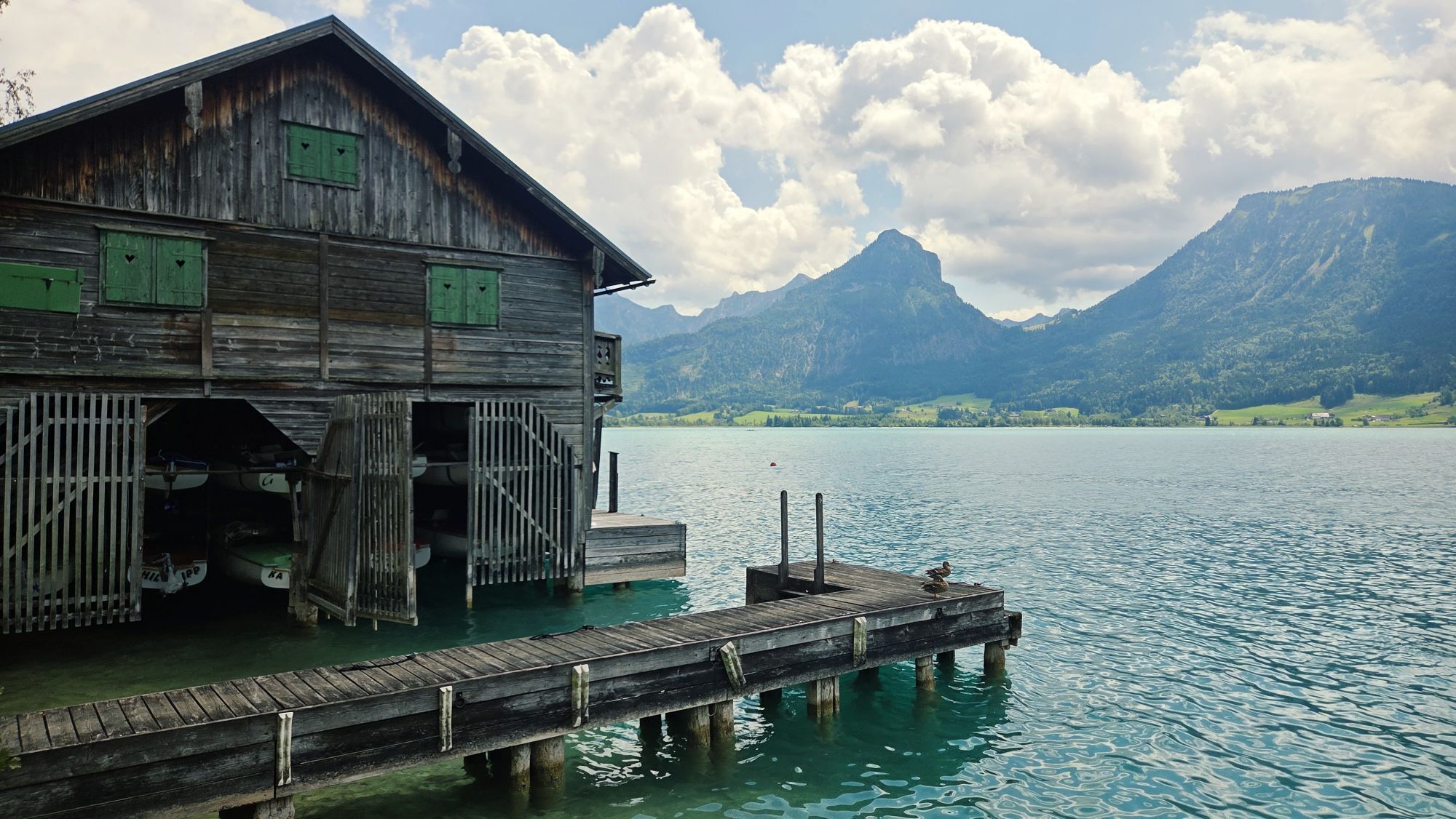
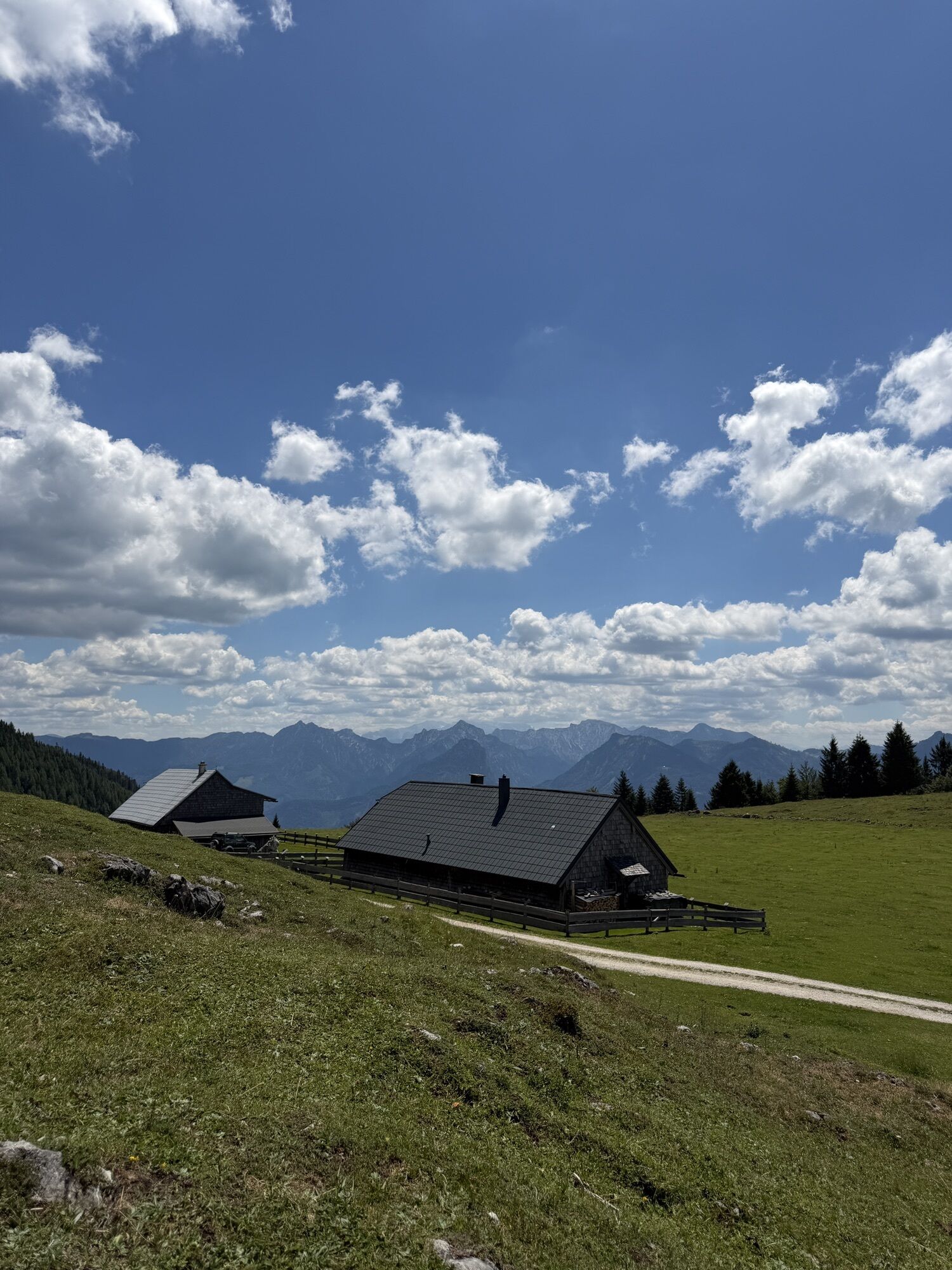


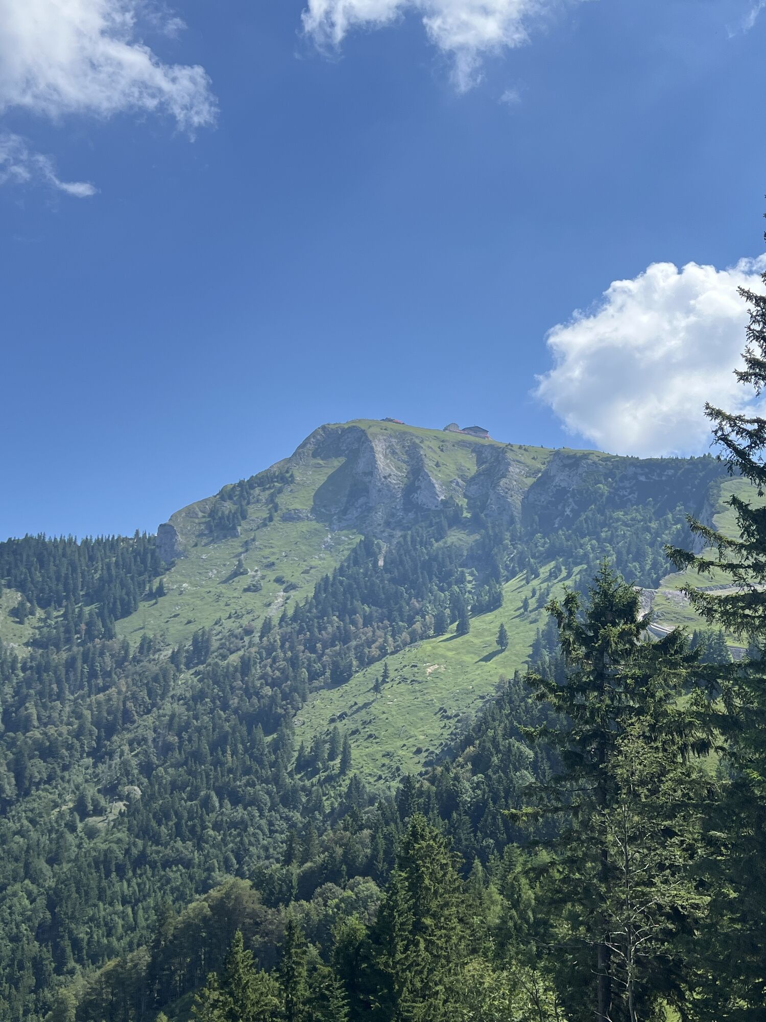
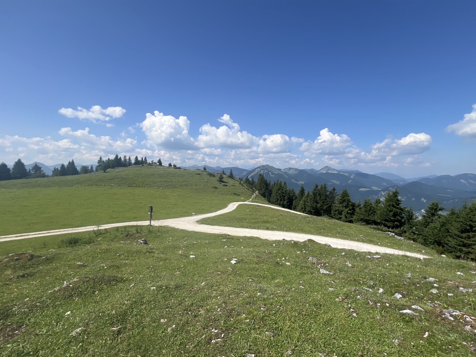
The 4th stage, which leads from St. Wolfgang to St. Gilgen, is particularly scenic. First, it goes up to the magnificently situated Schafbergalm, then at the end you walk along the romantic lakeside path...
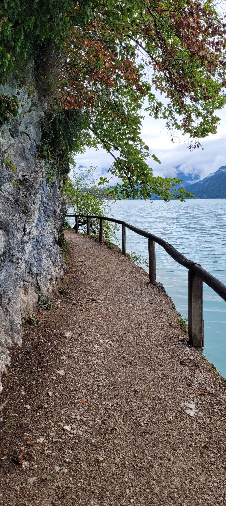
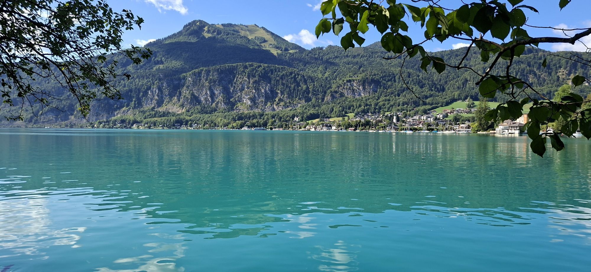
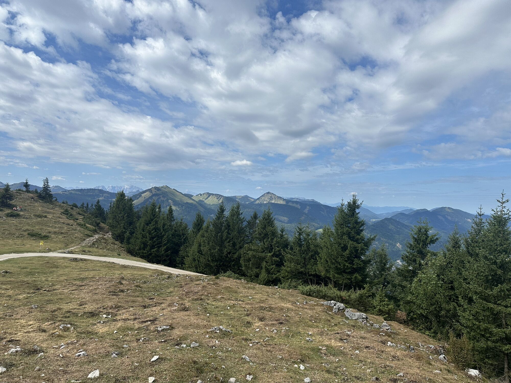
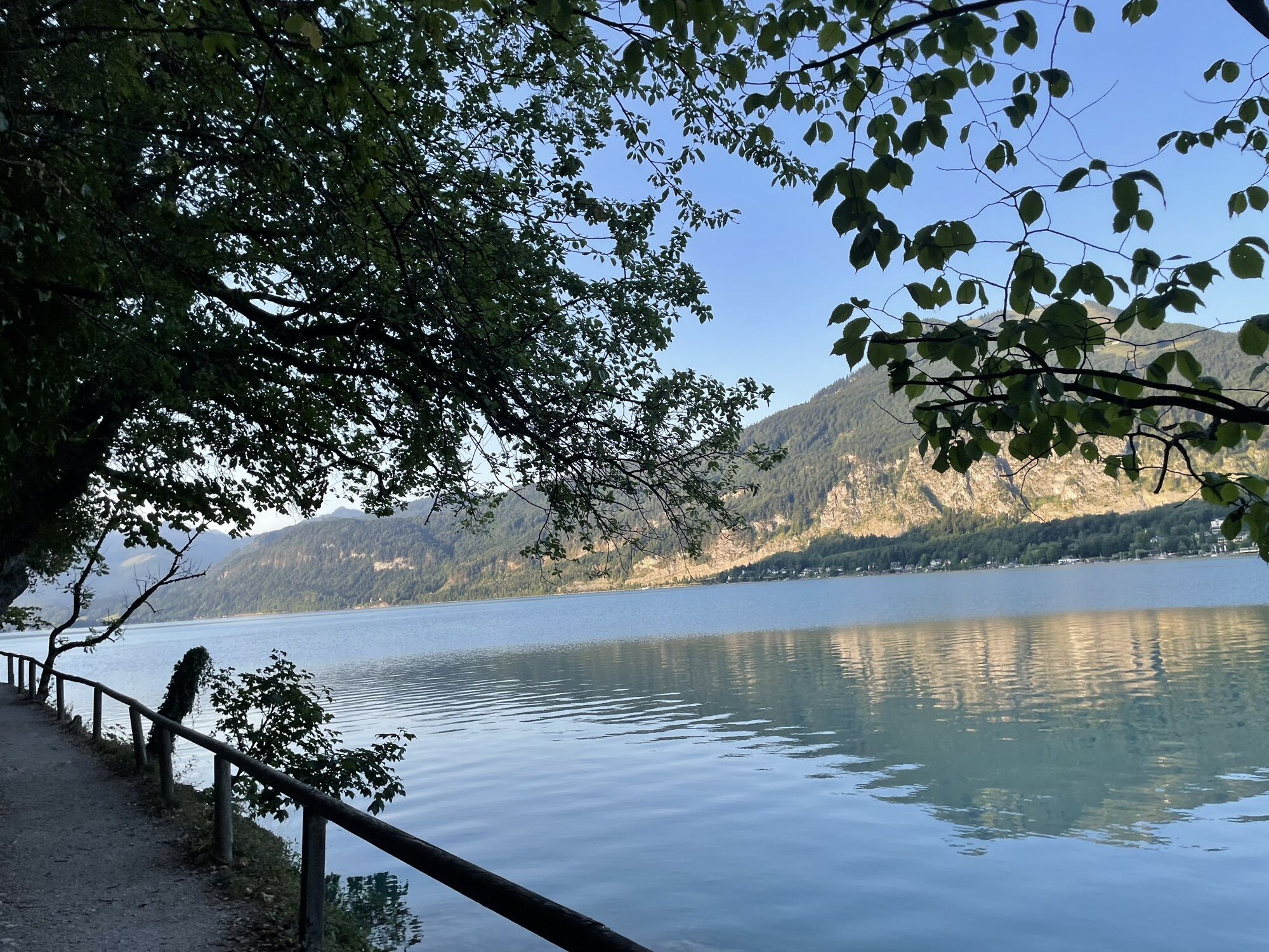
The 4th stage, which leads from St. Wolfgang to St. Gilgen, is particularly scenic. First, it goes up to the magnificently situated Schafbergalm, then at the end you walk along the romantic lakeside path along the Wolfgangsee to St. Gilgen.

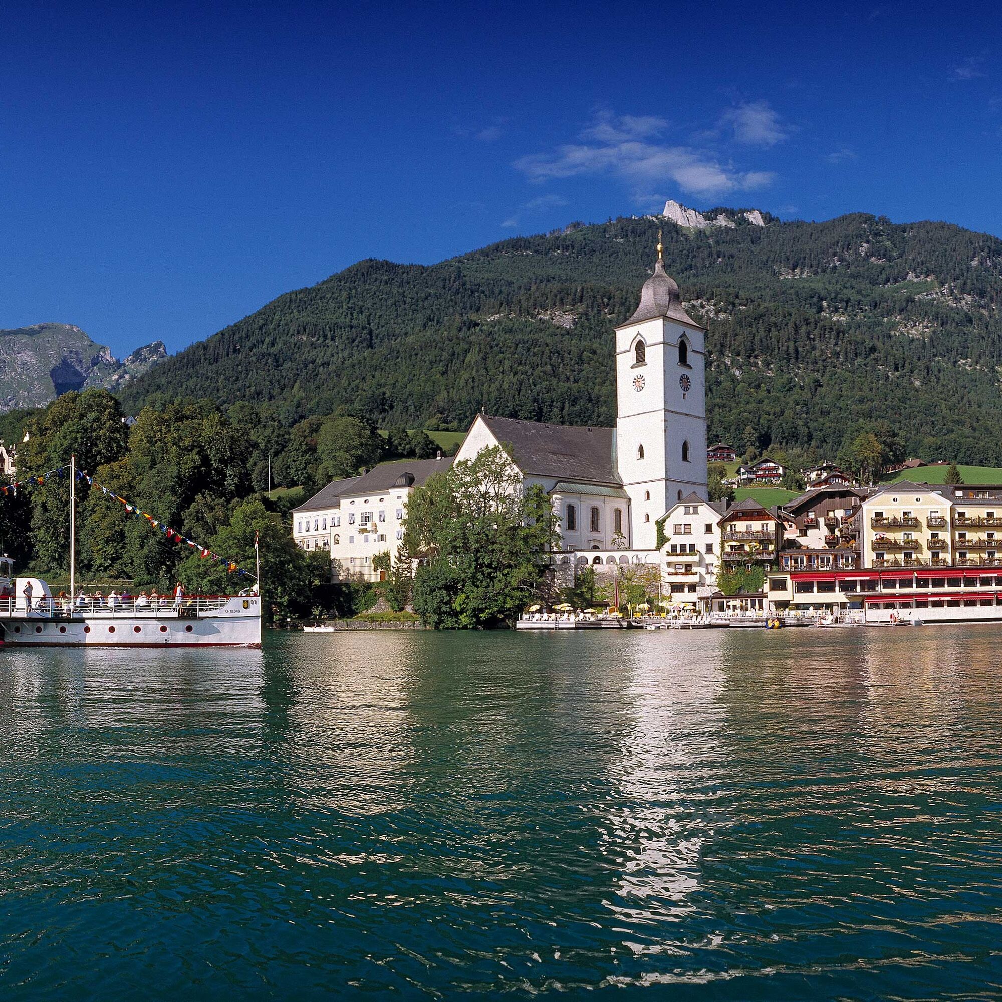

From the tourist office in St. Wolfgang at the eastern portal of the bypass tunnel, you reach the marketplace in front of the pilgrimage church in a short time by road. At the beginning of the square (signpost), you hike right through Florianigasse and then over Kalvarienbergweg to the first chapel. To the left of it, you go up steps, at a junction again to the left and over the shady Malersteig to a hill.
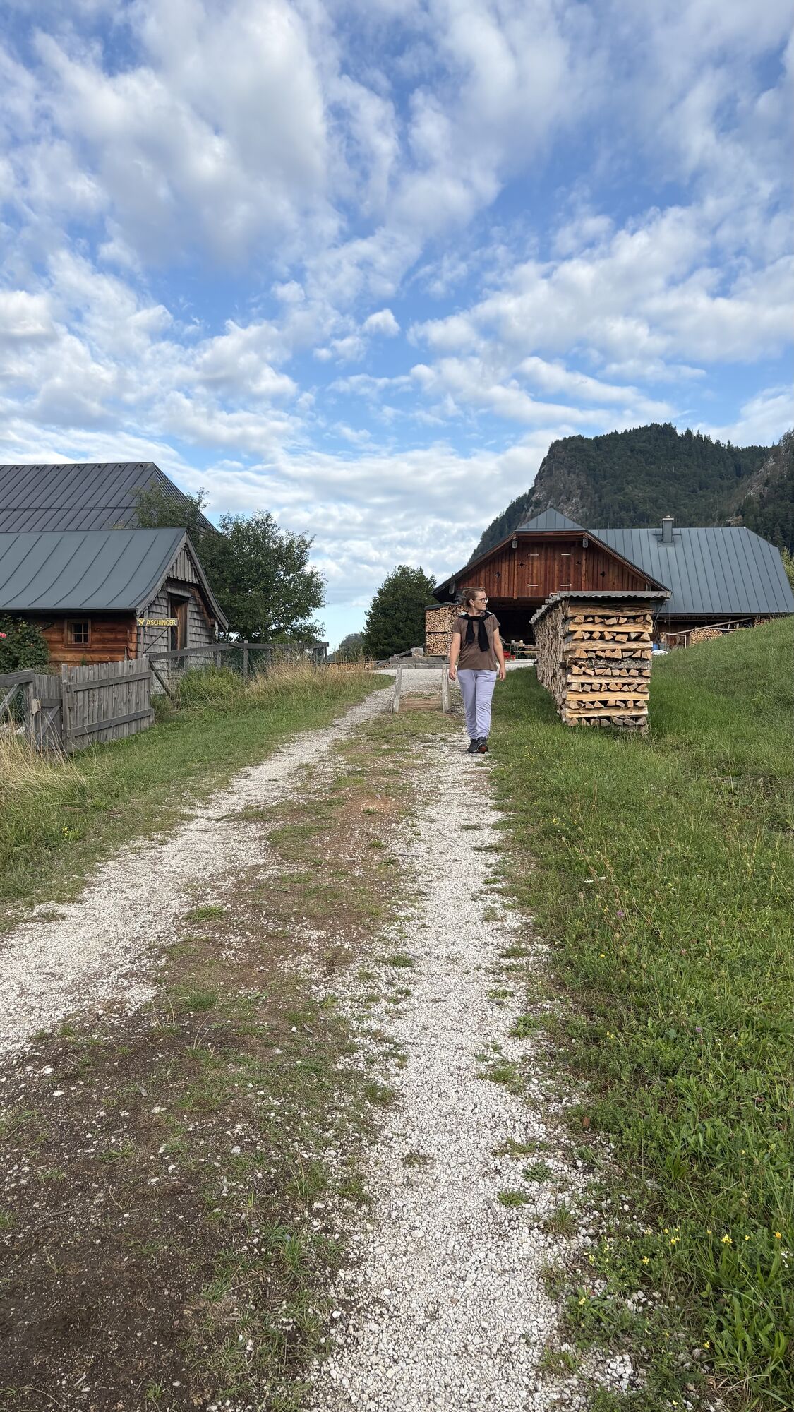
Then you go down steps to a crossing and up 50 m on Bergstraße. Then left on a path to the Dittlbach (state border between Upper Austria and Salzburg) and beyond the stream up to the snack station Aschinger. There begins the wide Schafbergweg, which partly steeply leads up to the Dorneralm (1,020 m). Further through the forest ascending to the edge of the Schafbergalpe (1,304 m; Schafbergbahn station). 2:00 h
The continuation (No. 20/804) now leads downhill to Winkl. First a short stretch on a forest road, then right down through forest, crossing the forest road twice. Down in the settlement Winkl (600 m) you turn left before the house Sonnwinkel in the direction of „Fürberg“ and walk along the forest edge, past the settlement Aich and to a road, where you walk down to Wolfgangsee and the Hotel & Gasthof Fürberg (545 m). 1:00 h
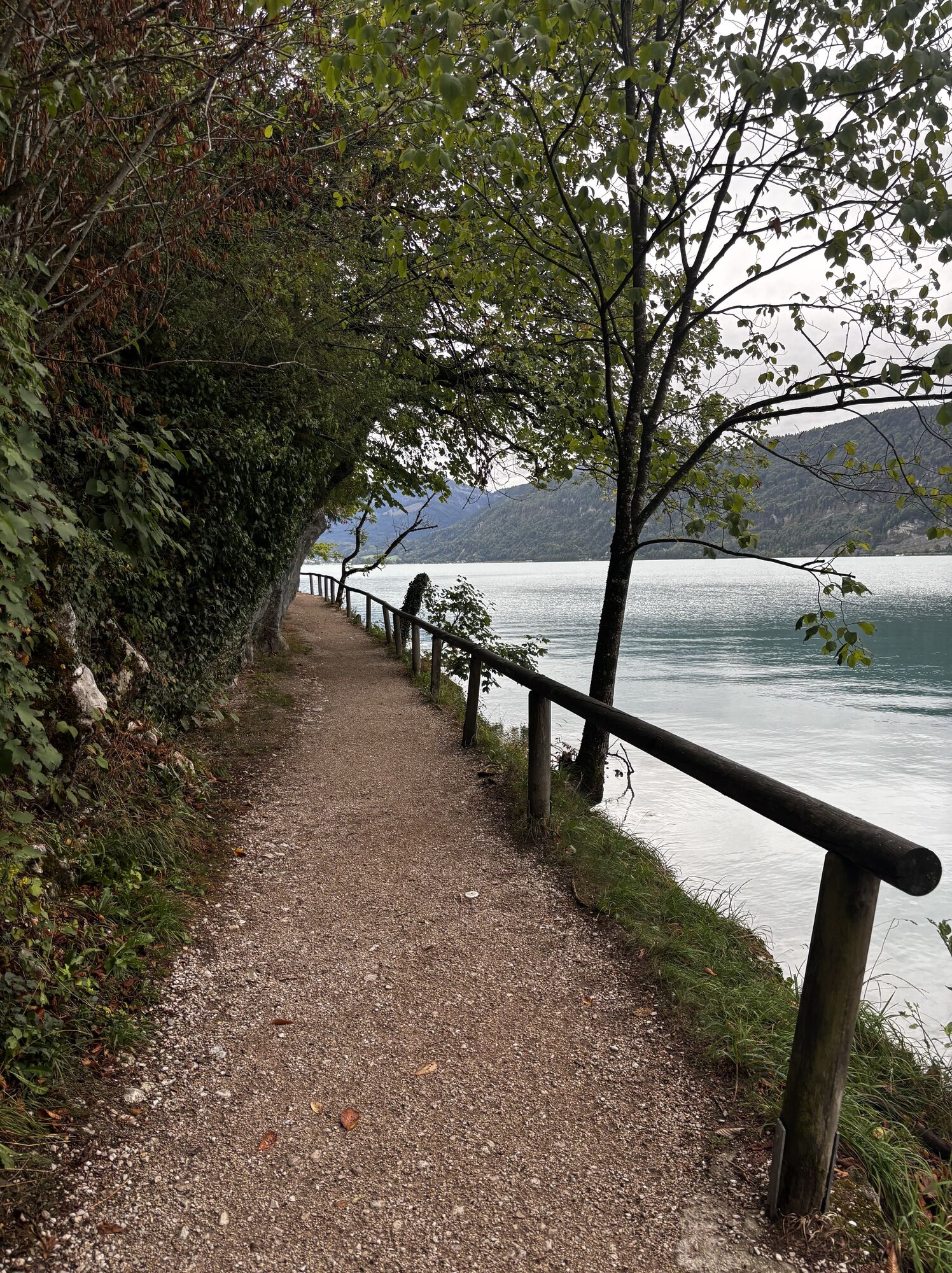
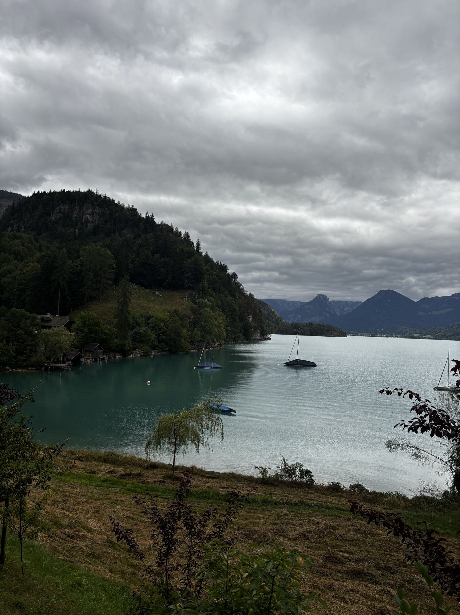
The last leg offers another scenic highlight, namely the walk along the enchanting lakeside path to Brunnwinkl and St. Gilgen (545 m). 1:00 h
For all stages, you need hiking or mountain shoes with rubber profile soles as well as wind- and rainproof clothing.
Spare clothes for changing and a small first aid kit should also be in the backpack. How much provision you pack depends on the number of available rest stops. In any case, you should take enough to drink. Telescopic poles are especially helpful when going downhill.
In alpine terrain, watch out for the danger of falling rocks.
Until early summer, you may encounter steep snowfields or firn gullies there – especially in icy conditions, there is acute danger of falling and thus risk to life!
Due to storm damage, forestry work, or construction measures, some path sections may be temporarily difficult or impossible to pass.
Cows on the alpine pasture are often curious. Due to mother-cow husbandry, they develop a strong instinct to protect their calves. So move calmly on cow pastures, keep at least 20 m distance from the animals, and never pet calves! In case of threatening behavior (scraping, stamping), slowly move backward (do not turn your back). Keep dogs on a leash; they must not bark at or chase cows. In case of an attack, the dog must definitely be let off the leash.
With kind provision of the route descriptions by KOMPASS publishing house and Wolfgang Heitzmann.
Further information at trail.salzkammergut.at
Note: The Schafbergbahn starts at 9:15 a.m. at the Schafbergbahn station on Robert-Stolz-Straße in the west of the town center. www.schafbergbahn.at
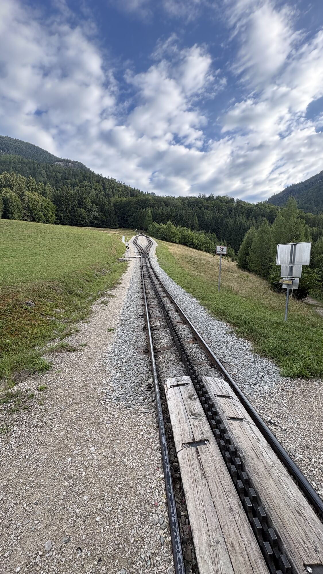
Note: You can also comfortably reach the Schafbergalm by cog railway from St. Wolfgang. This saves you 2 hours of walking time, but you have to descend about 10 minutes from the railway station to the above-mentioned signpost.
Detour to the summit on the Schafberg (1,782 m) – see route G3, p. 243. Hikers who have stayed overnight at the hotel on the Schafberg summit require about 1 hour when descending via the especially scenic path to reach the Schafbergalm. 1:30 h.

Webové kamery z prehliadky


Obľúbené výlety v okolí
-
4,8
Fuschl: Ruine Wartenfels - Schober - Frauenkopf
strednáTuristika 7,62 km -
4,4
Fuschlseewanderung
svetloTuristika 11 km -
4,5
Weißenbach am Attersee - Schoberstein
strednáTuristika 6,50 km -
4,3
Pillstein Panorama Rundweg
svetloTuristika 3,40 km -
3,9
Bärenweg am Lidaun
svetloTuristika 9,05 km -
4,8
Abtenau: Postalm circular route 2 - Labenberg & Pitscherberg alms - (IVV circular hiking trail)
svetloTuristika 10,1 km -
4,7
Pleasure hike over the Falkenstein
strednáTuristika 9,81 km -
3,7
Mondsee: Rund um den Mondsee
svetloCyklistika 26,3 km -
4,7
The Plombergstein: Adventure and summit panorama
svetloTuristika 4,12 km -
3,6
Unterach am Attersee: Hochplettspitz
Turistika 4,25 km
Turistika a stopovanie


Nenechajte si ujsť ponuky a inšpiráciu na ďalšiu dovolenku
Vaša e-mailová adresa bol pridaný do poštového zoznamu.


