Navigácia na stránke
Získajte túto prehliadku v mobilnom telefóne
Mapa
Power Source Tree
stredná
Turistika
64,51 km
Naskenujte kód QR a spustite navigáciu v aplikácii bergfex
QR Code
Turistika a stopovanie

Power Source Tree

Vzdialenosť
64,5 km
Trvanie
19:33 h
Ascent
1 703 hm
Hladina mora
513 - 913 m
Stiahnutie skladby
Mapa
Power Source Tree
stredná
Turistika
64,51 km

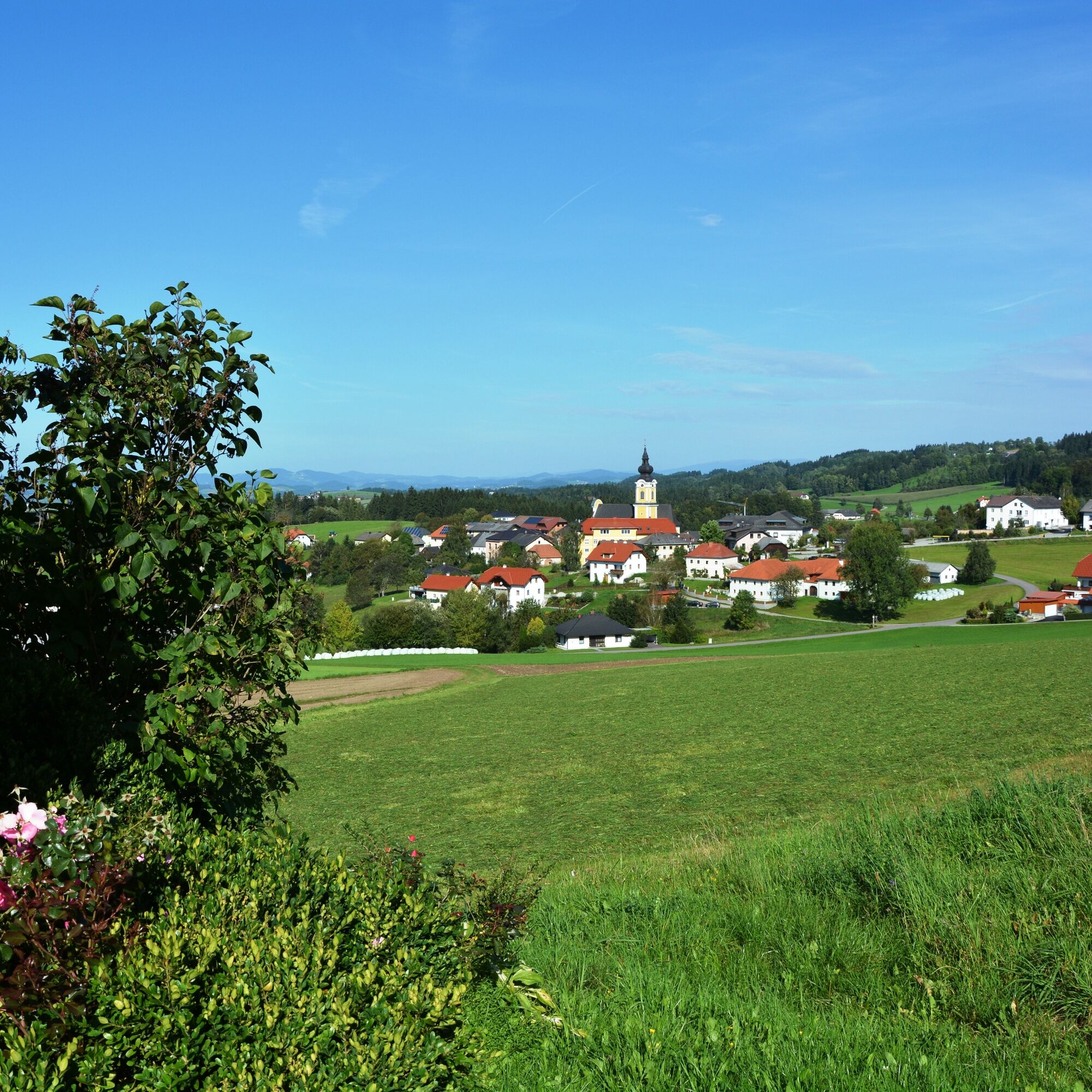
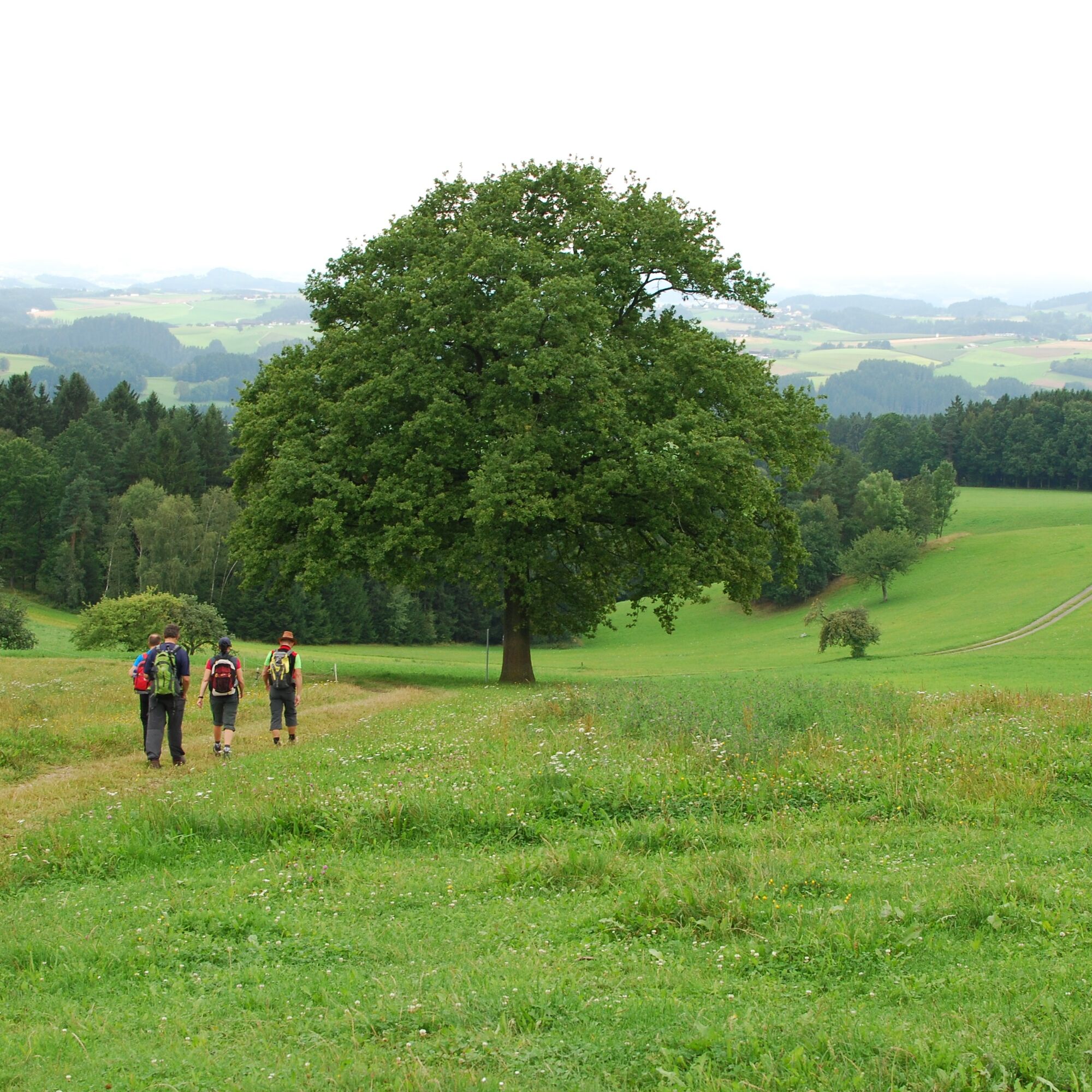
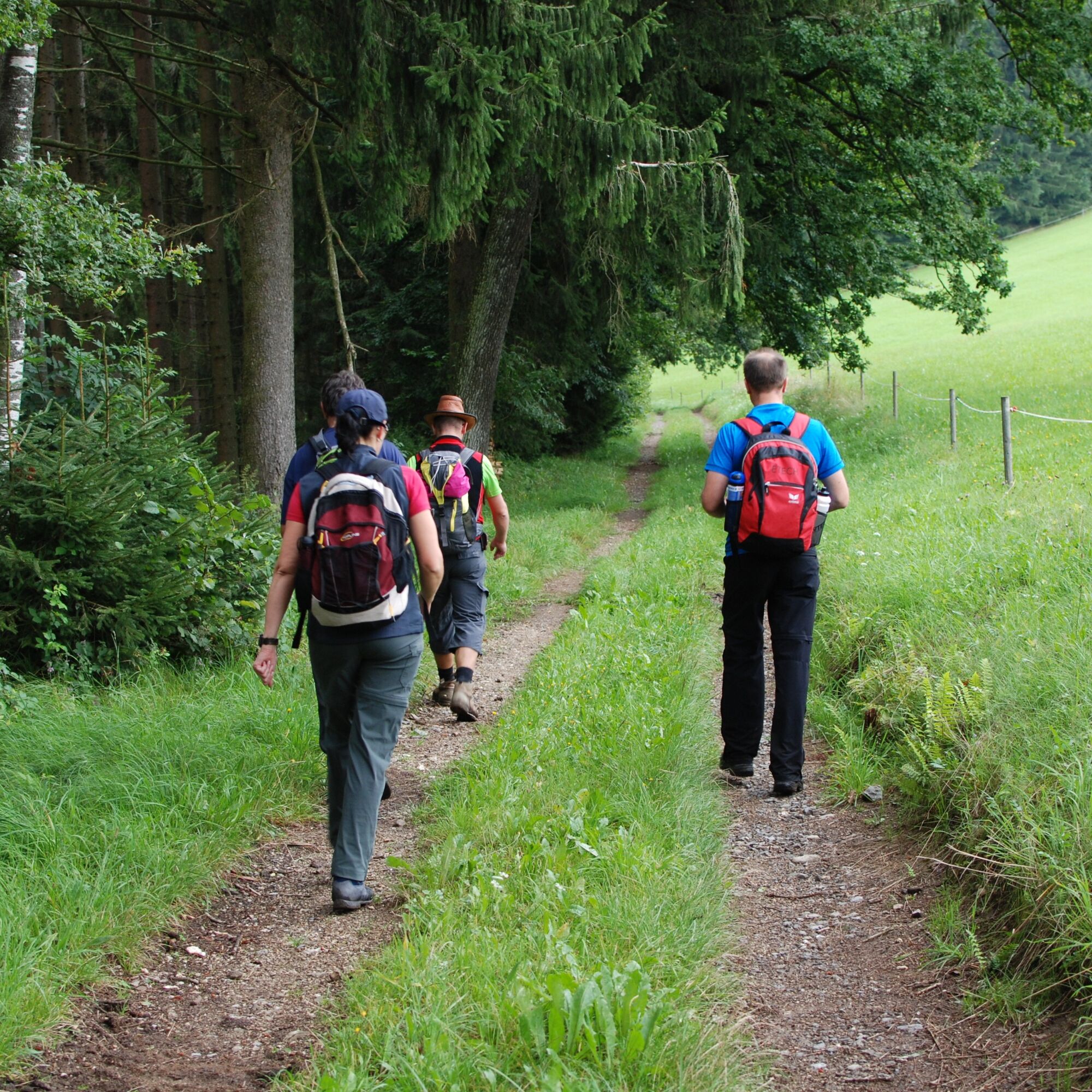
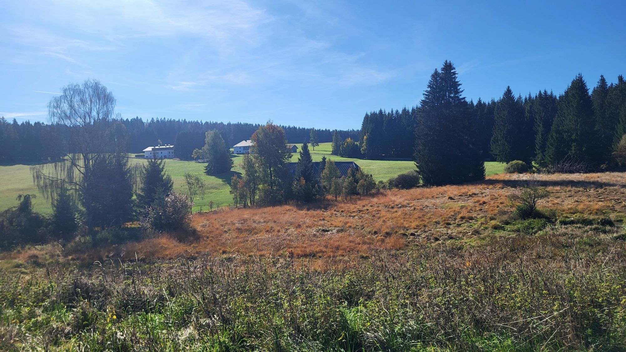
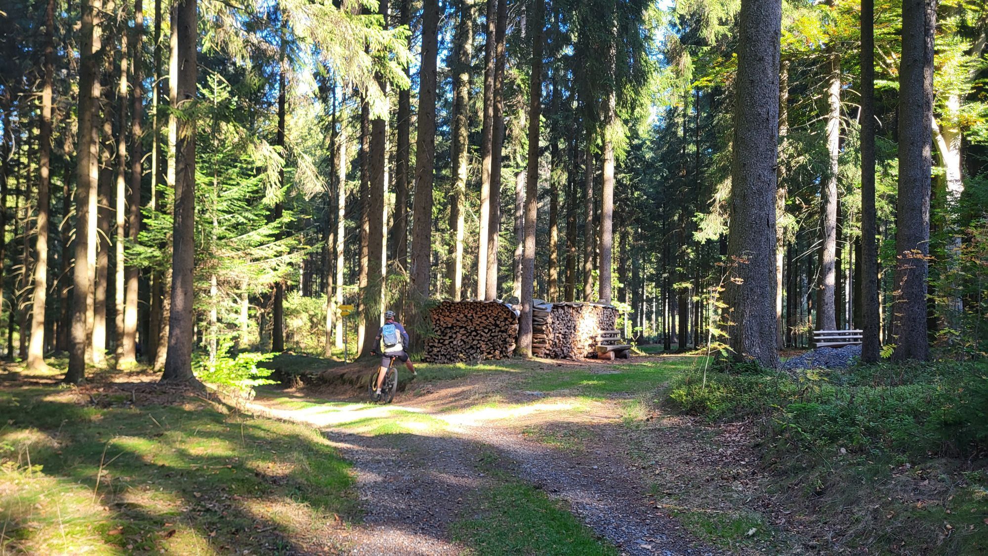
The circular hiking trail, with a total length of about 60 km, is best covered in three days with daily stages of approximately 20 km. Of course, those who wish can also hike the trail in two days. Accommodations...

Opis
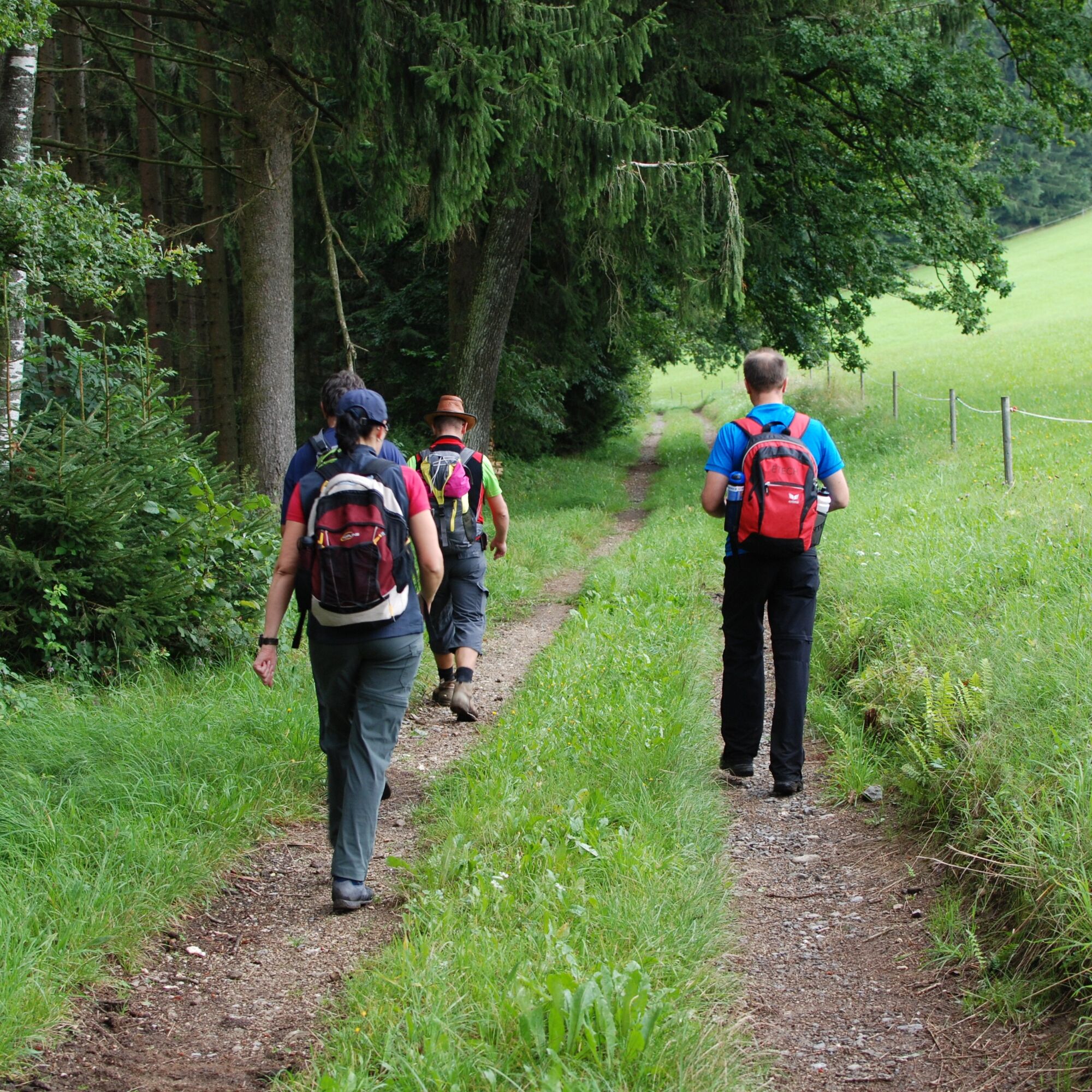
The circular hiking trail, with a total length of about 60 km, is best covered in three days with daily stages of approximately 20 km. Of course, those who wish can also hike the trail in two days. Accommodations along the route allow you to tailor the hike to your own schedule. Those who prefer to stay with just one host can take a taxi to the respective starting point or arrange to be picked up from the end point of each stage.

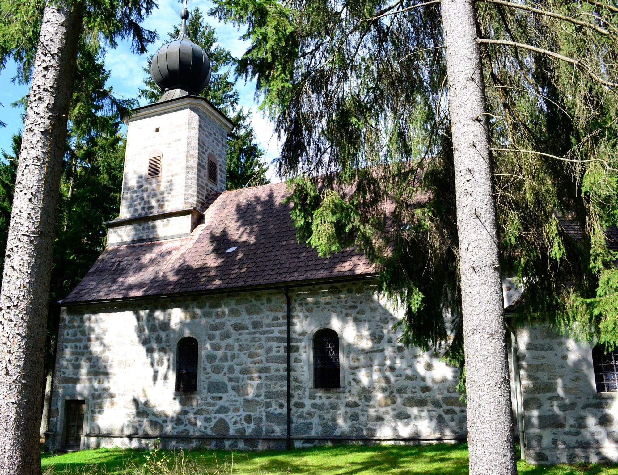
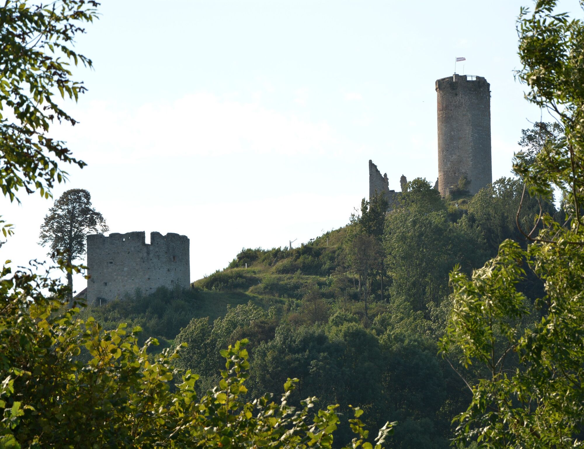
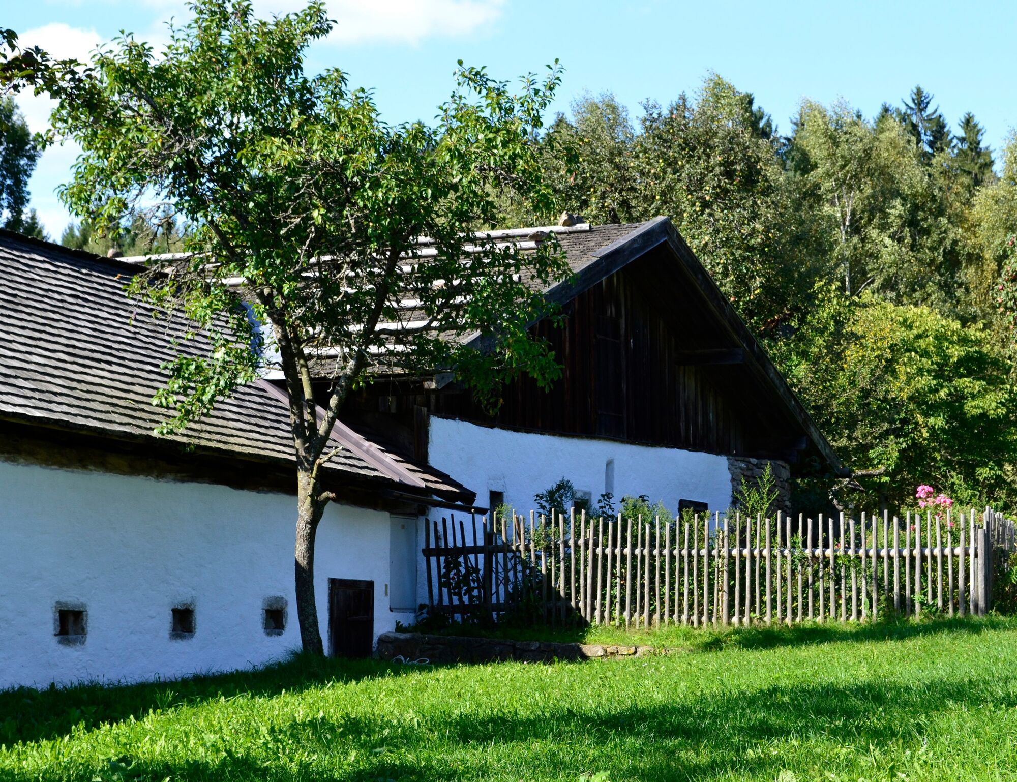
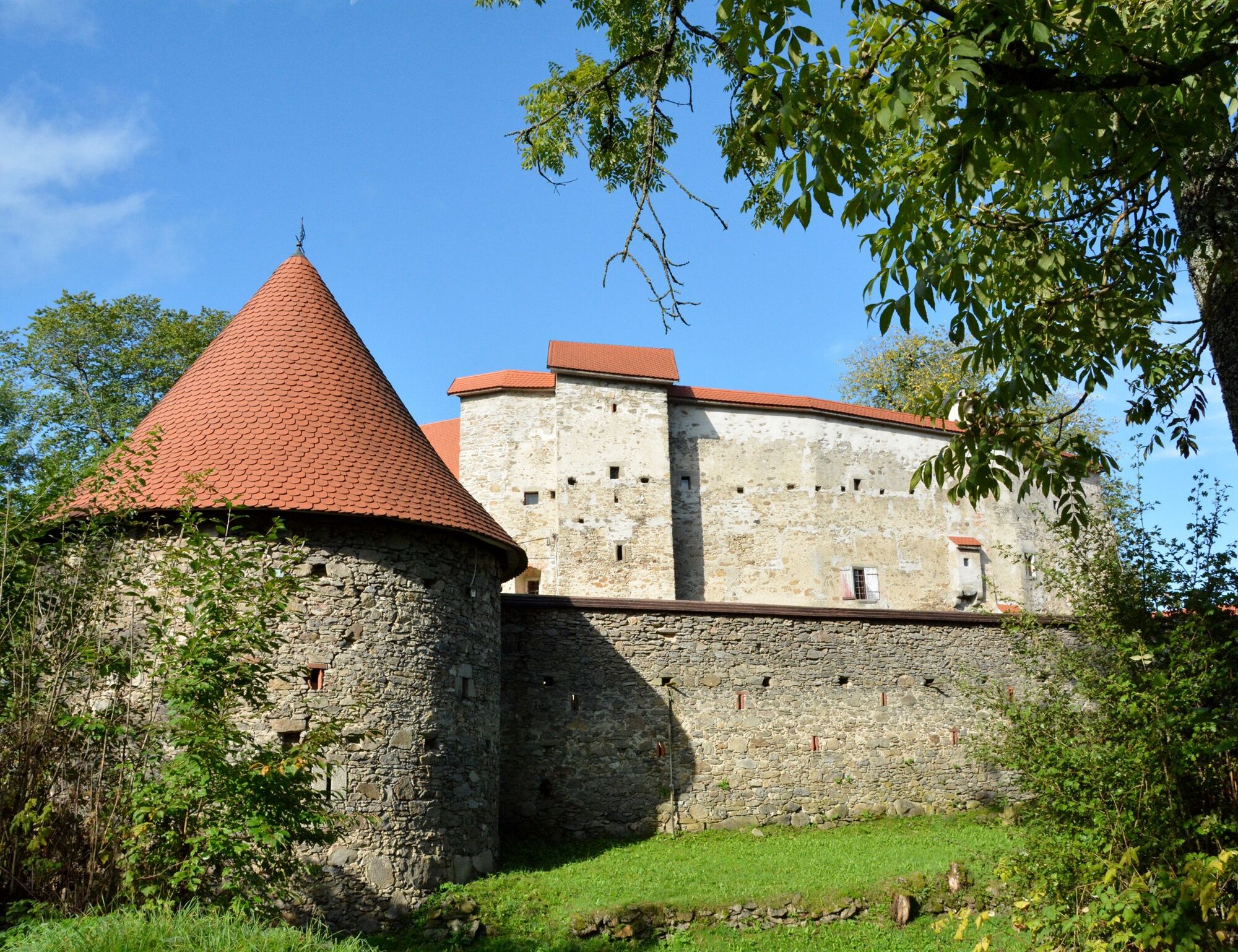
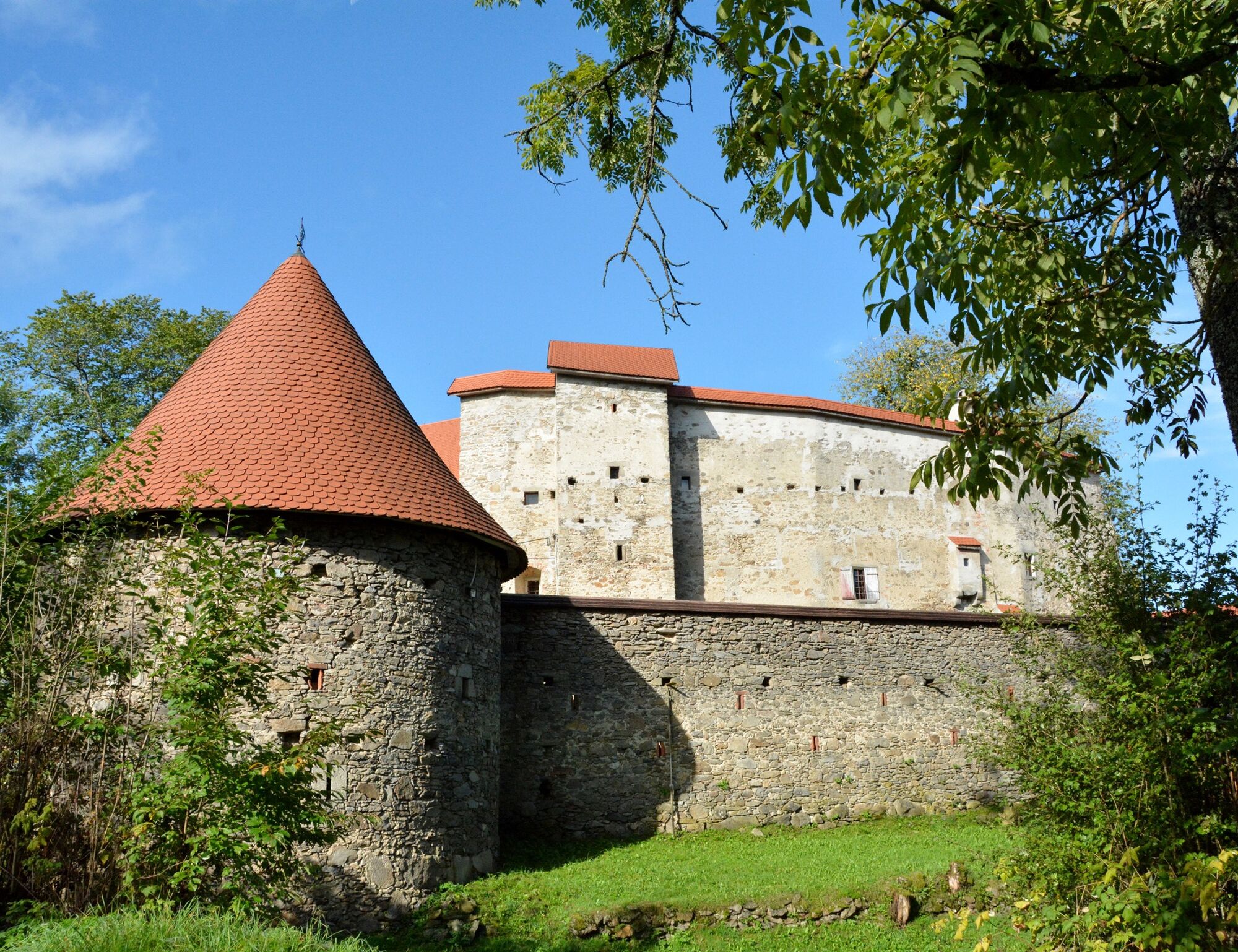
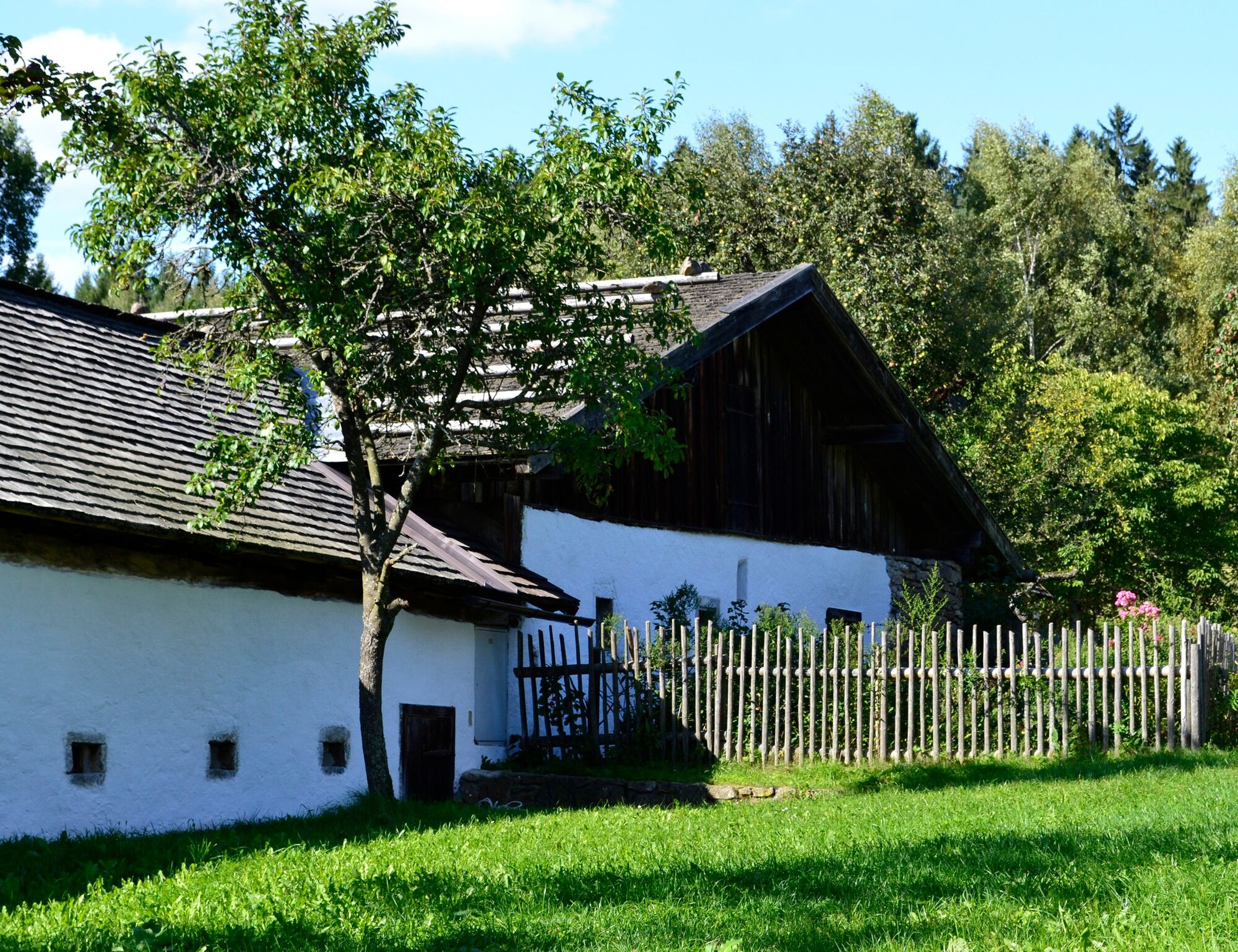
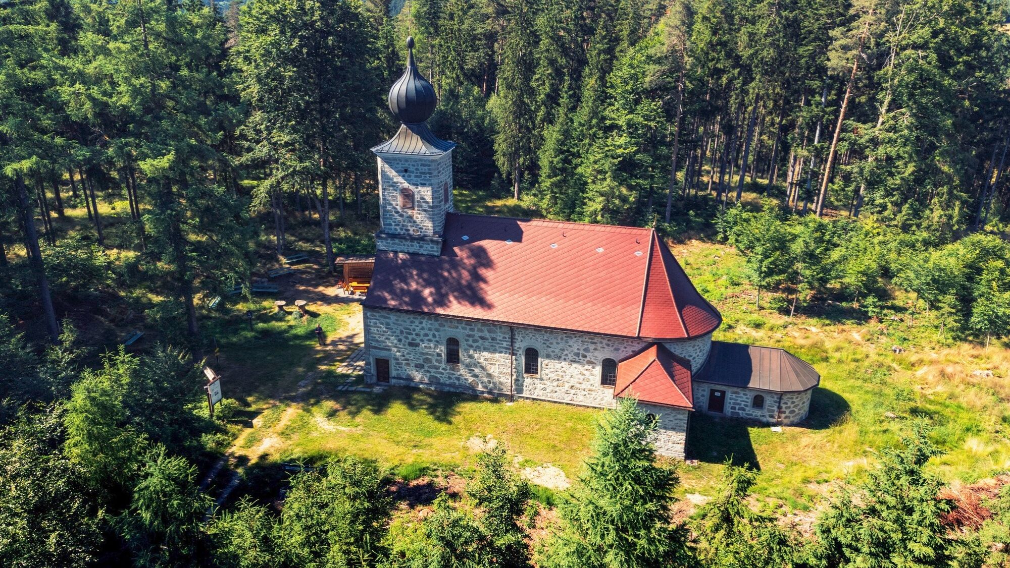
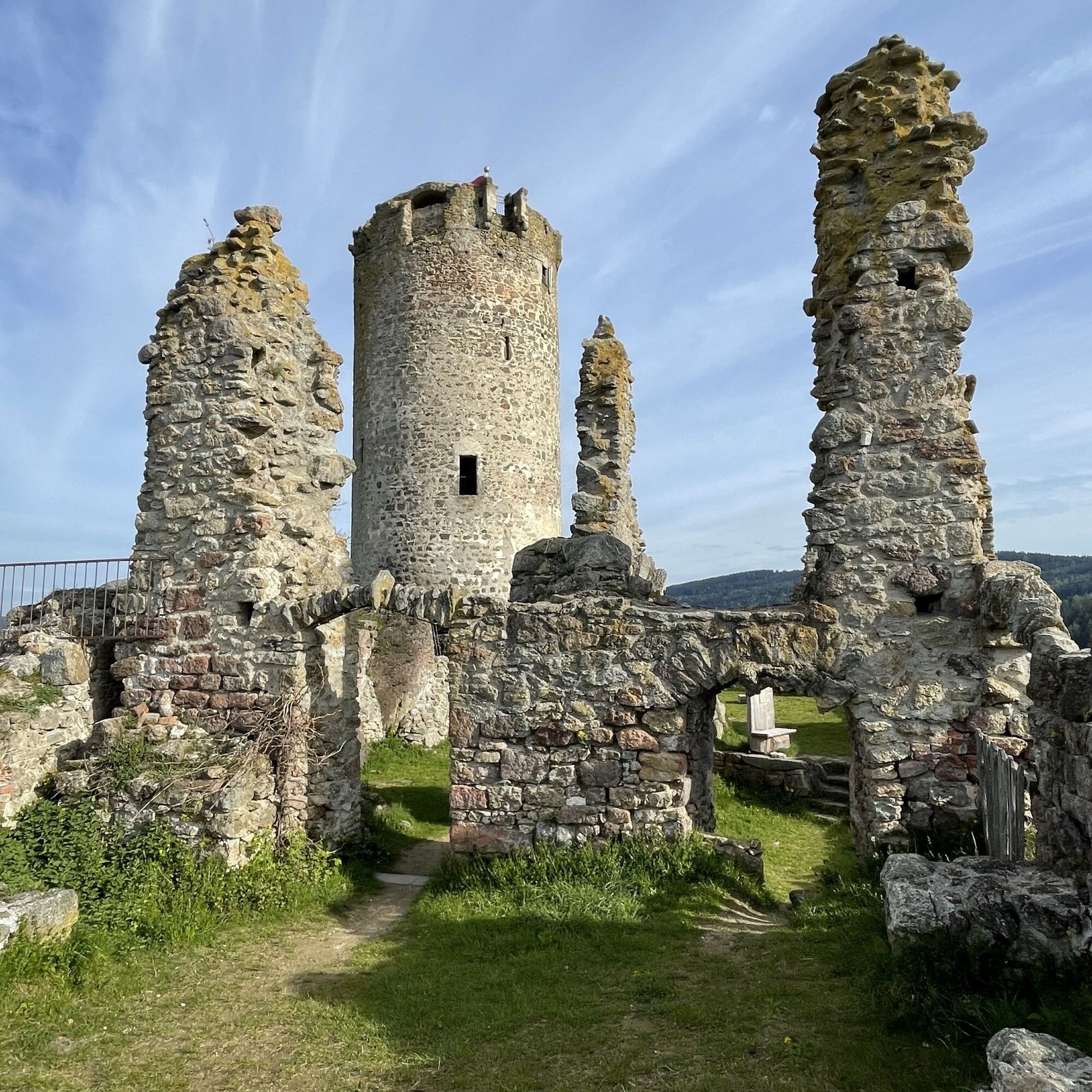
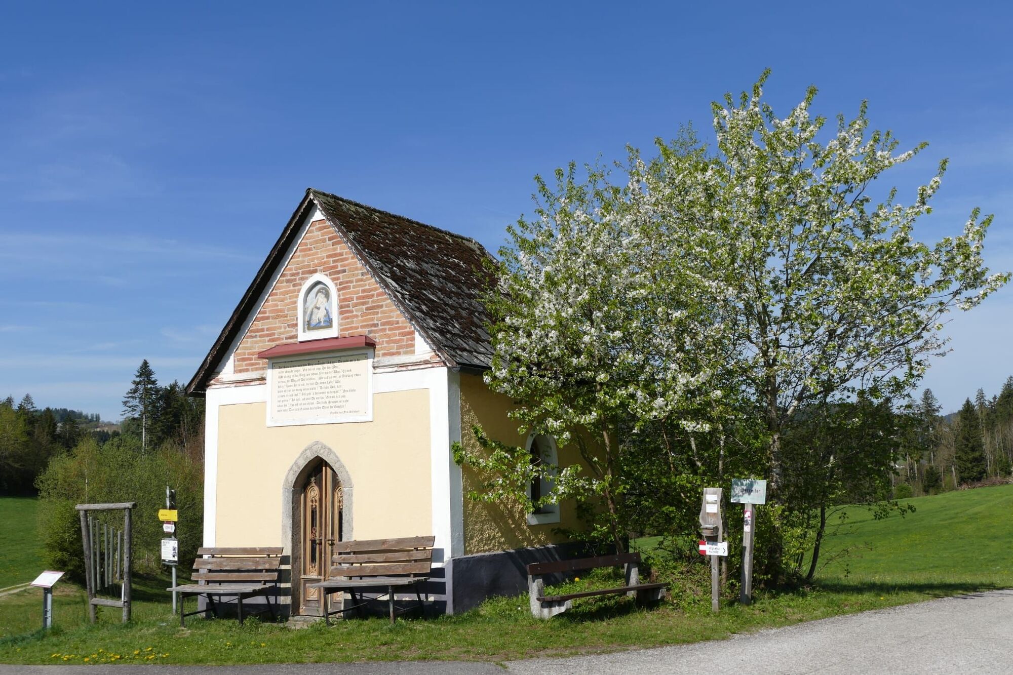
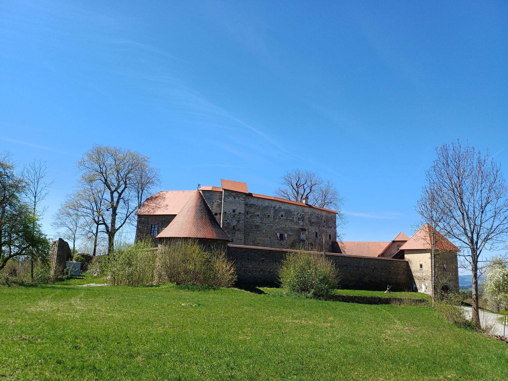
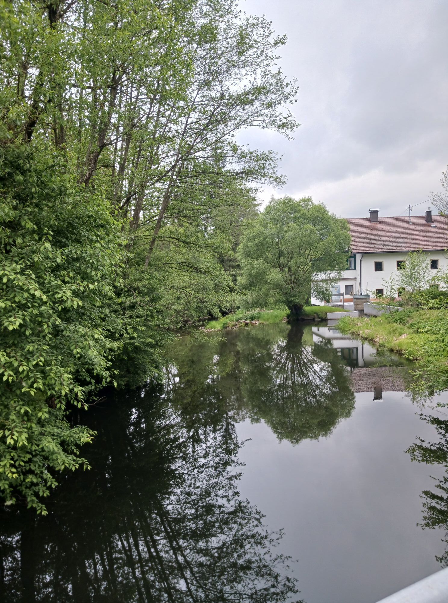
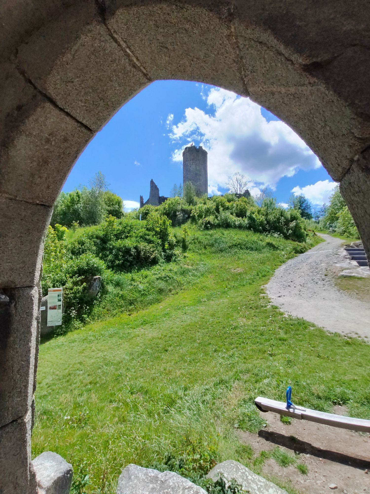
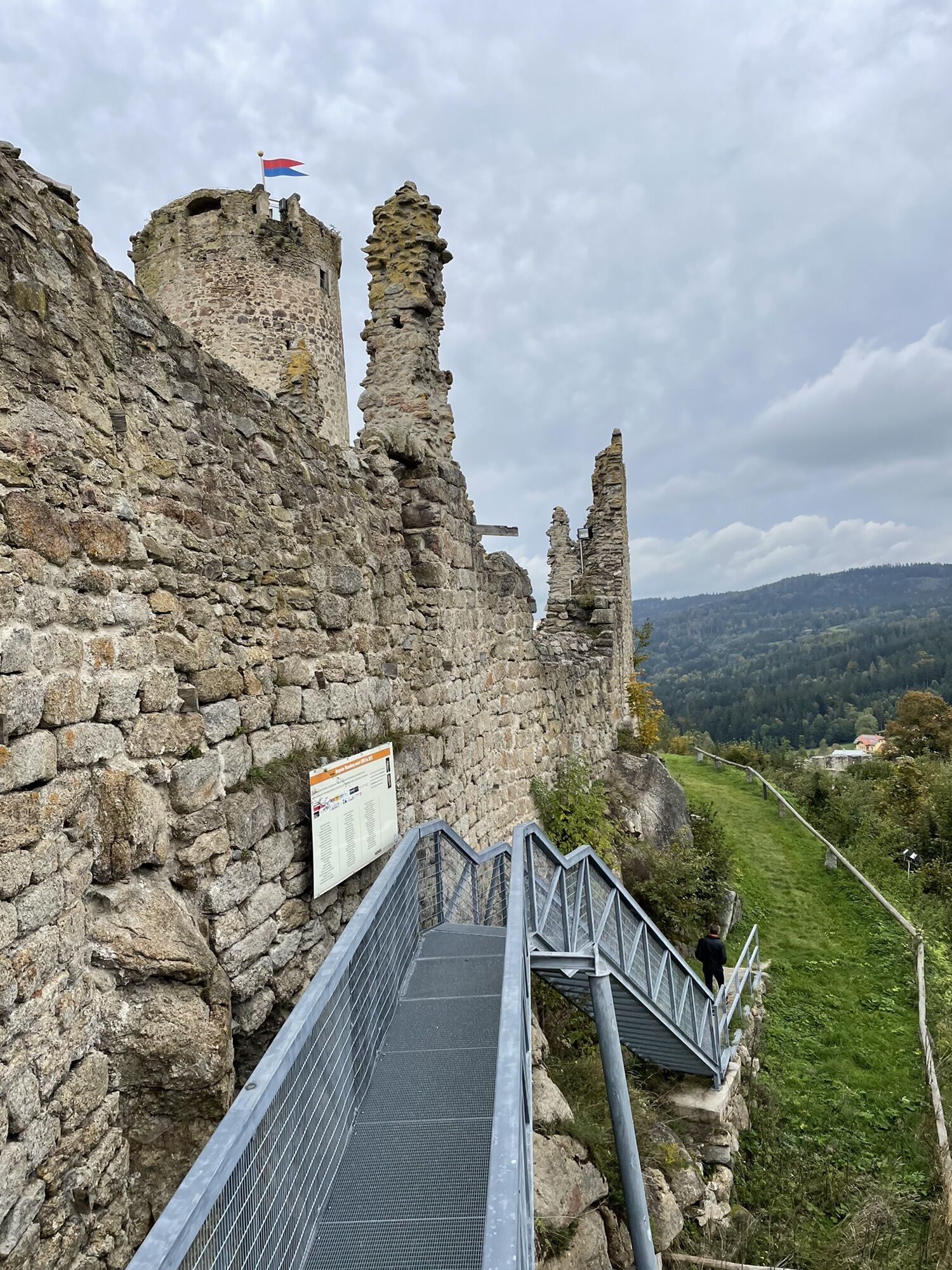
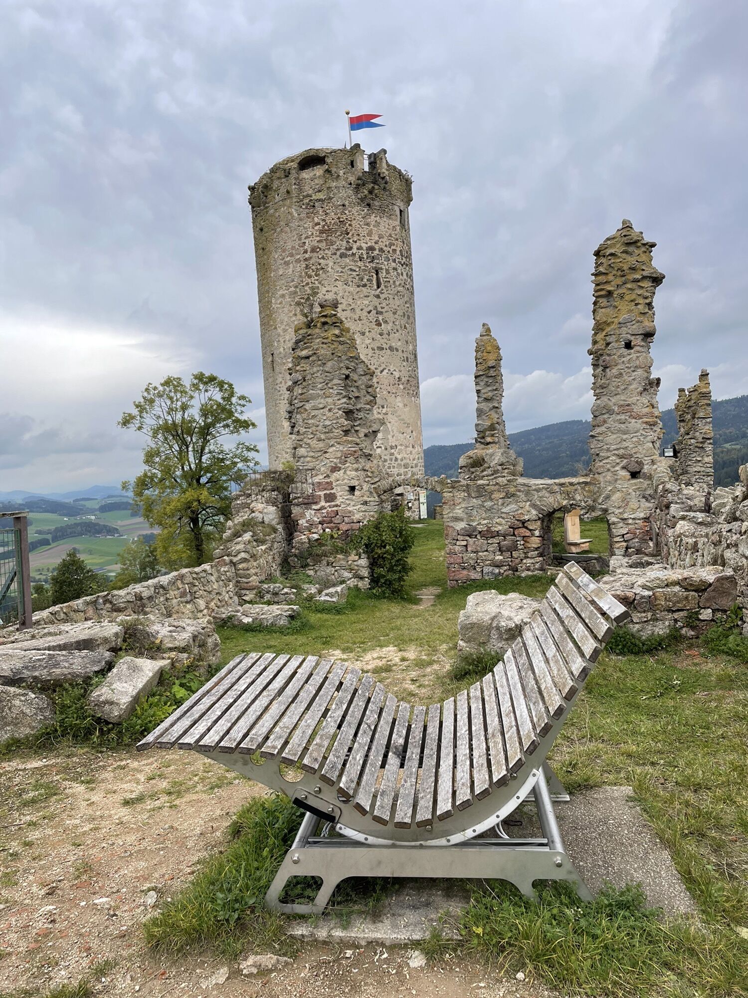
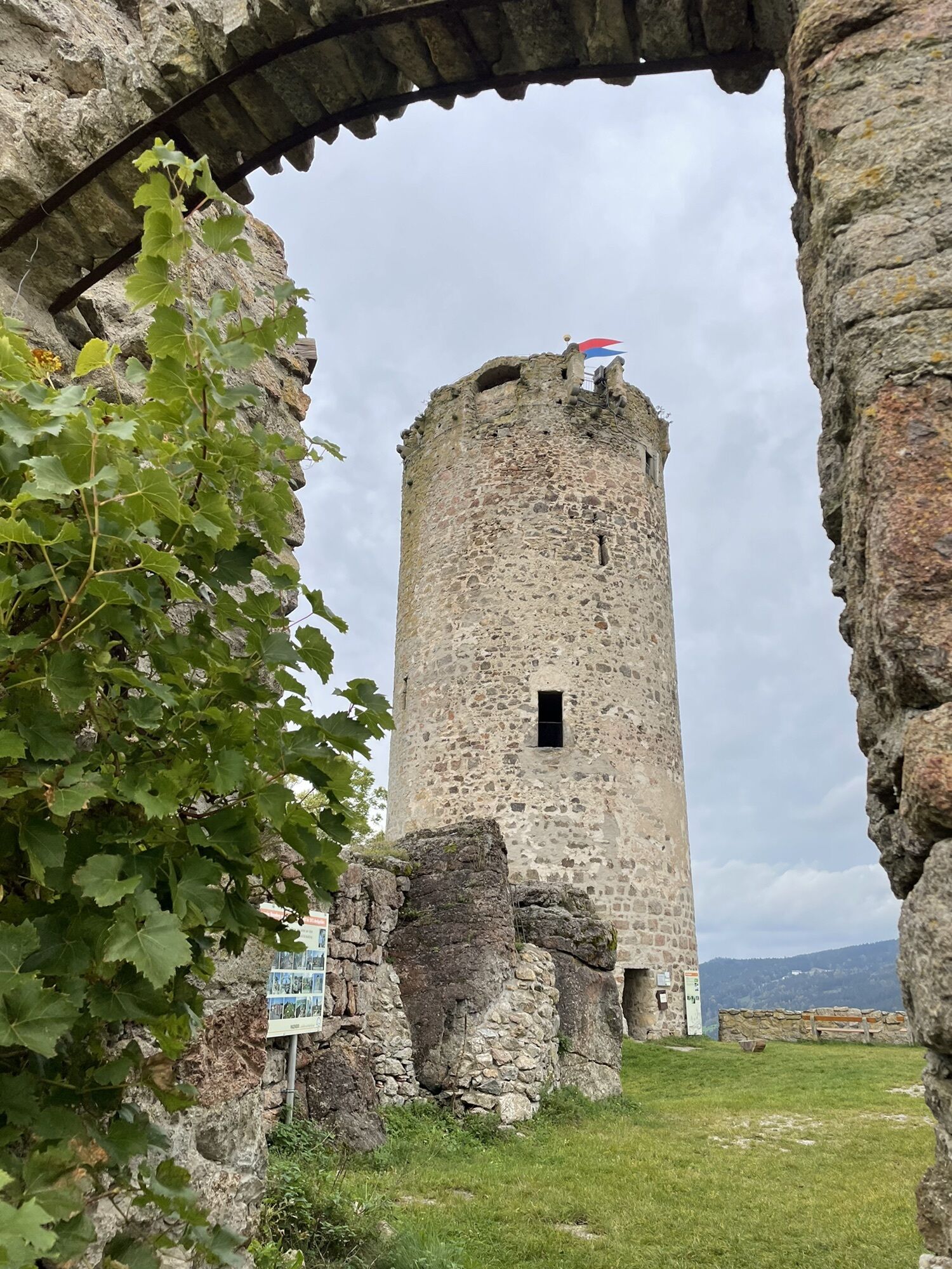
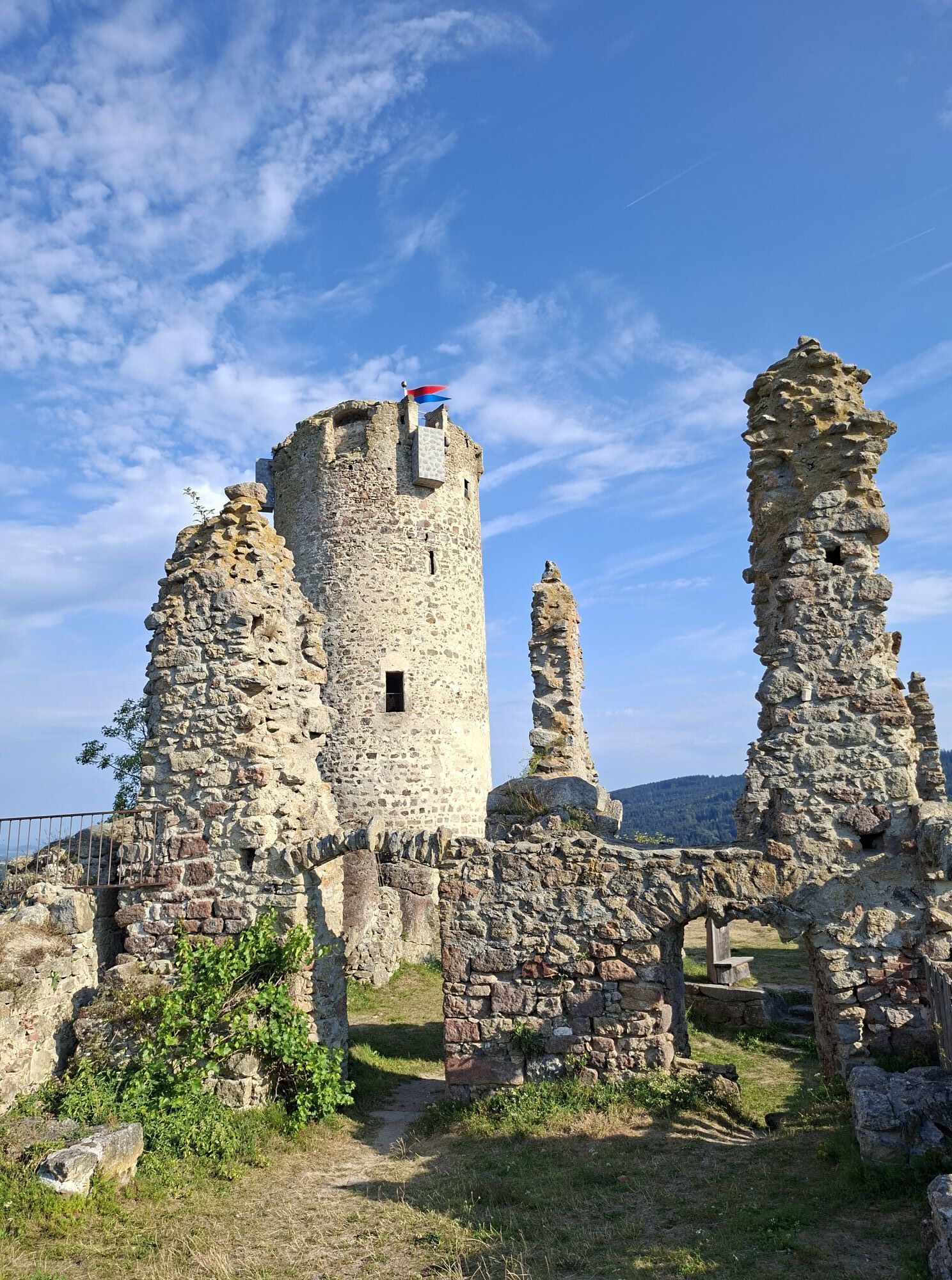
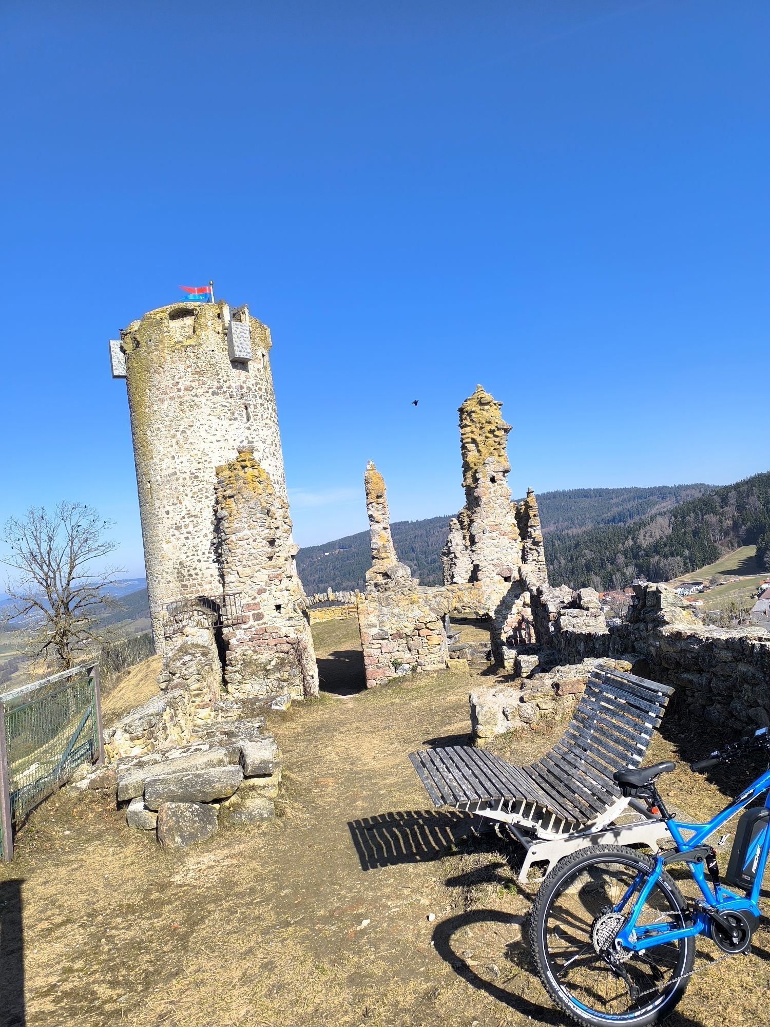
Various sights along the way invite you to stop and explore. Some are freely accessible, such as the Waxenberg Castle ruins and the Wendenstein. If you’d like to take a guided tour (Piberstein Castle, Unterkagererhof Memorial Courtyard), please contact the respective operators in advance to schedule an appointment. The sanctuary of the Maria Rast Forest Chapel is visible from the outside. About five minutes away from the Maria Rast Forest Chapel—follow the signs—is the spring of “Holy Water,” which is said to be particularly effective for eye ailments. The water flows from the lap of a statue of the Virgin Mary in a small wooden spring house.
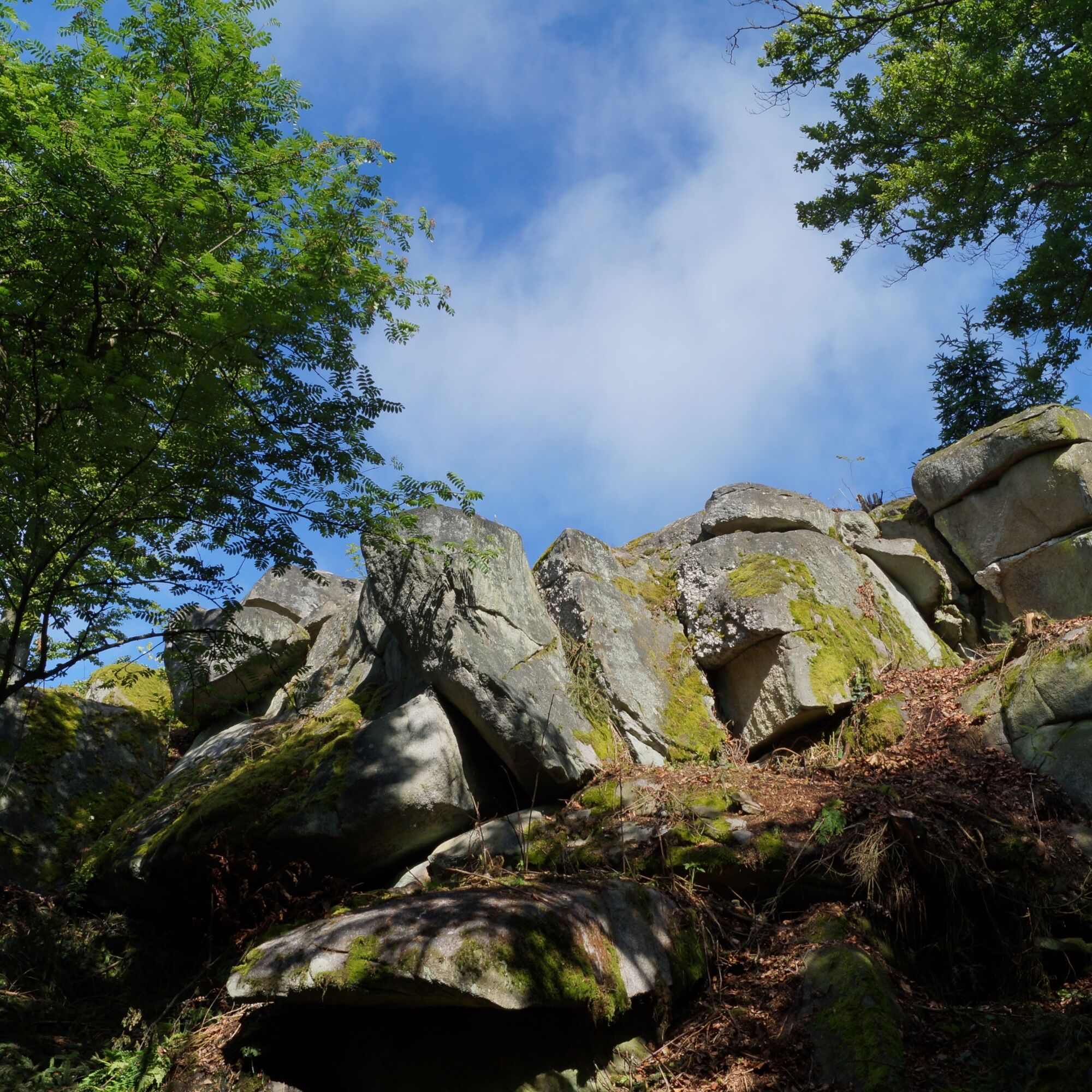
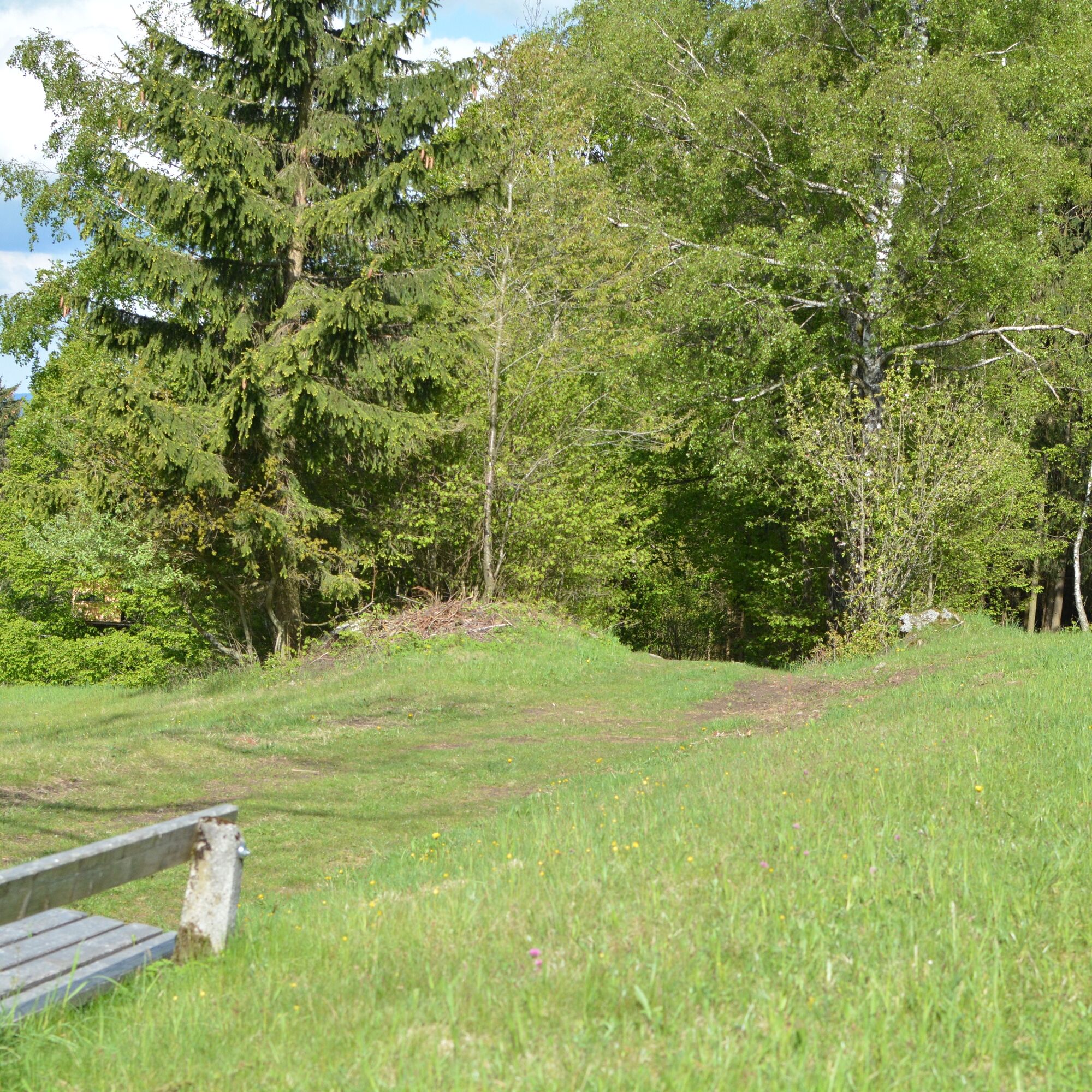
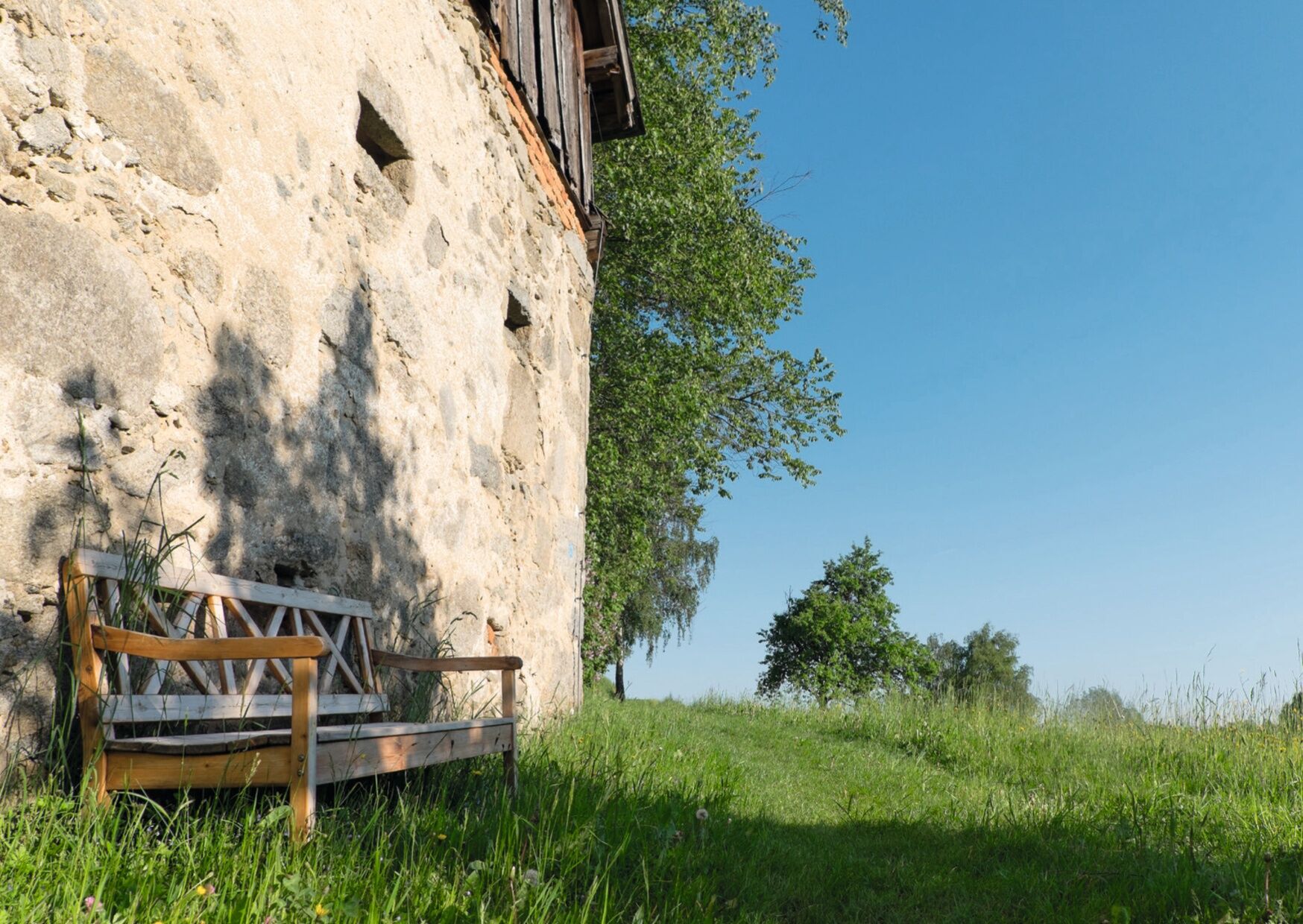
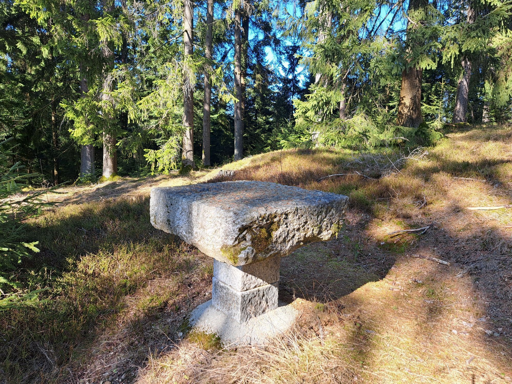
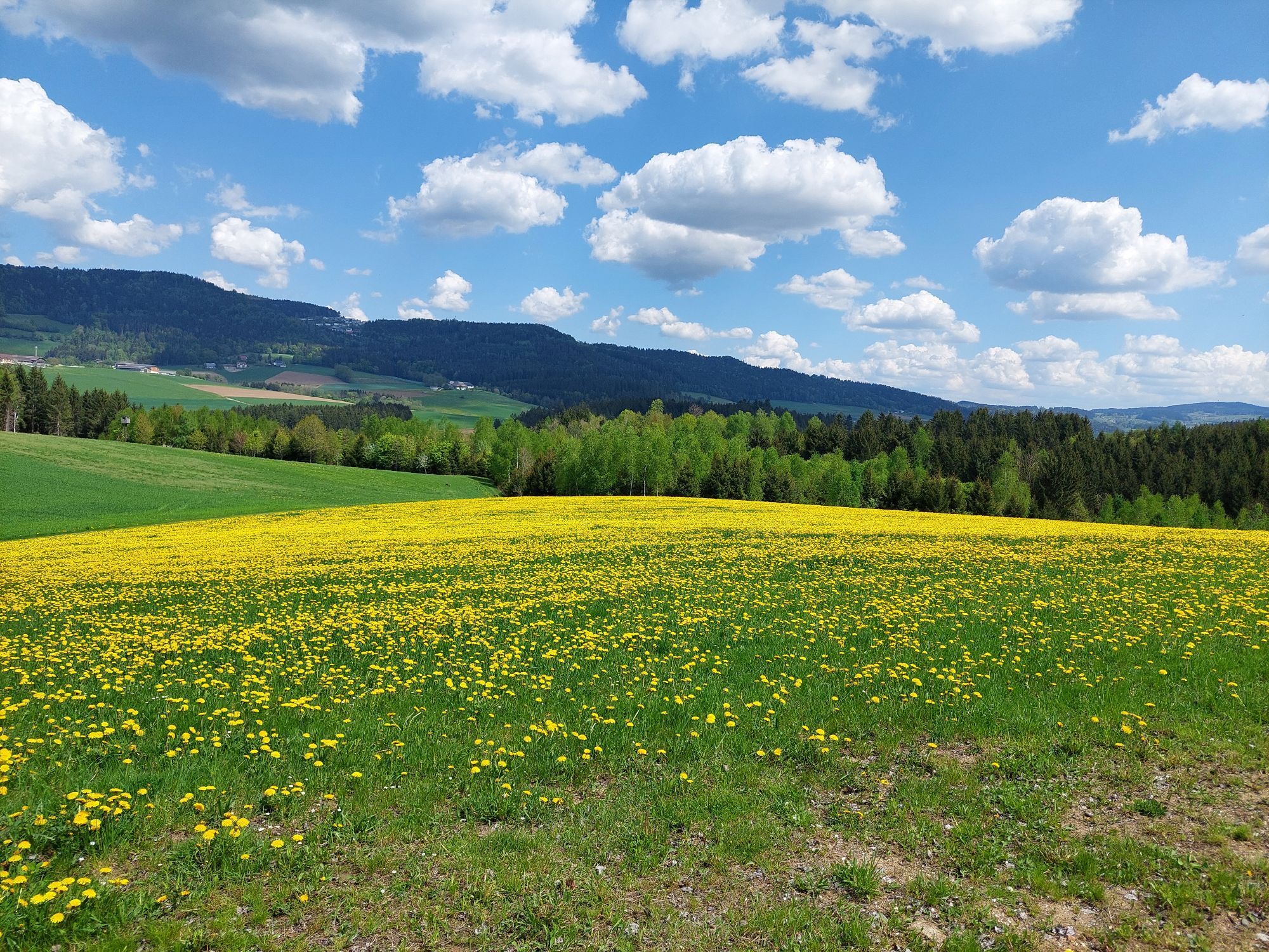
Five rest areas were created along the trail in 2019: “Am Pesenbach,” “Des Wissens,” “In der Wiese,” “Im Schatten der Buche,” and “Mit Weitblick.” These beautiful spots invite you to linger and take in nature with all its sounds and scents. As a memento of this moment, everyone is welcome to take home a postcard from the box provided on site.

With the free outdooractive app, you can hike the trail using the navigation feature.

You can find more information about the Kraft-Quelle-Baum-Weg here.

Trasa
Hansberg
(850 m)
Summit
2,3 km
Kapelle
(611 m)
Miesto uctievania
6,8 km
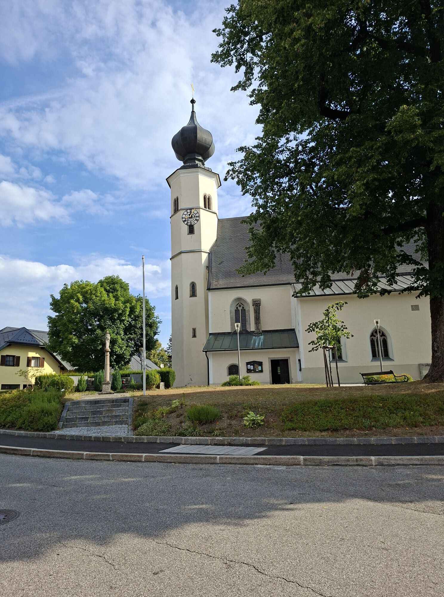
Pfarrkirche Helfenberg
(568 m)
Miesto uctievania
20,0 km
Kreuzweg Station VI
(704 m)
Miesto uctievania
25,7 km
Helfenberger Hütte
(842 m)
Úkryt
31,5 km
Lüftnerberg
(751 m)
Summit
51,6 km
Pfarrkirche St. Johann
(720 m)
Miesto uctievania
64,3 km
Trasa
Mapa
Power Source Tree
stredná
Turistika
64,51 km
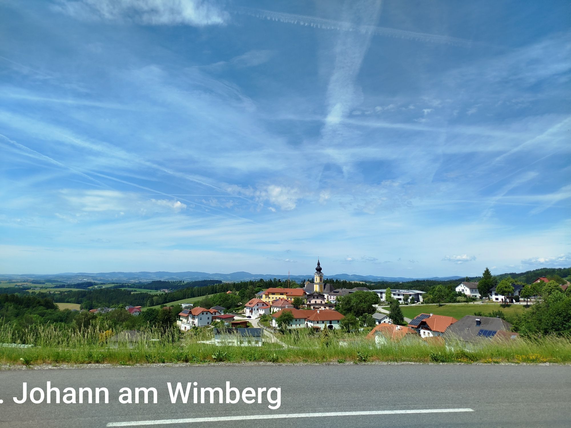
St. Johann am Wimberg
(722 m)
Dedina
0,0 km
Schlag
(805 m)
Zúčtovanie
1,4 km
Schigasthaus
(830 m)
Reštaurácia
2,1 km
Jausenstation Hansberg
(849 m)
Reštaurácia
2,3 km
Hansberg
(850 m)
Summit
2,3 km
St. Veit im Mühlkreis
(683 m)
Dedina
4,6 km
Gasthaus zur Linde
(684 m)
Reštaurácia
4,8 km
Kirche St. Veit im Mühlkreis
(687 m)
Miesto uctievania
4,9 km
Wögersdorf
(601 m)
Zúčtovanie
5,5 km
Kapelle
(611 m)
Miesto uctievania
6,8 km
Froschau
(663 m)
Dedina
7,6 km
Landhotel Hoftaverne Atzmüller
(749 m)
Reštaurácia
8,4 km
Waxenberg
(753 m)
Dedina
8,5 km
Punzing
(800 m)
Dedina
8,8 km
Ahorn
(827 m)
Zúčtovanie
16,3 km
Gasthaus Haudum
(567 m)
Reštaurácia
20,0 km
Pfarrkirche Helfenberg
(568 m)
Miesto uctievania
20,0 km
Helfenberg
(569 m)
Dedina
20,1 km
Gasthaus Thorwartl
(590 m)
Reštaurácia
20,5 km
Gasthaus Thorwartl
(580 m)
Reštaurácia
20,7 km
Gasthaus Freller
(686 m)
Reštaurácia
24,7 km
Kreuzweg Station V
(696 m)
Miesto uctievania
25,5 km
Kreuzweg Station III
(683 m)
Miesto uctievania
25,6 km
Kreuzweg Station IV
(689 m)
Miesto uctievania
25,6 km
Kreuzweg Station VI
(704 m)
Miesto uctievania
25,7 km
Kreuzweg Station VII
(712 m)
Miesto uctievania
25,7 km
Kreuzweg Station VIII
(716 m)
Miesto uctievania
25,7 km
Kreuzweg Station IX
(722 m)
Miesto uctievania
25,8 km
Kreuzweg Station XIII
(731 m)
Miesto uctievania
25,8 km
Kreuzweg Station X
(726 m)
Miesto uctievania
25,8 km
Kreuzweg Station XIV
(730 m)
Miesto uctievania
25,8 km
Kreuzweg Station XI
(729 m)
Miesto uctievania
25,8 km
Kreuzweg Station XII
(731 m)
Miesto uctievania
25,9 km
Waldkreuzkapelle
(733 m)
Miesto uctievania
26,0 km
Salmesmühle
(709 m)
Koridor/terén
28,4 km
Unterafiesl
(808 m)
Zúčtovanie
29,2 km
Helfenberger Hütte
(842 m)
Úkryt
31,5 km
Stružka
(812 m)
Koridor/terén
31,9 km
bývalé Mezilesí
(860 m)
Zúčtovanie
33,1 km
Schwedenschanze
(850 m)
Koridor/terén
34,0 km
St. Stefan am Walde
(807 m)
Dedina
38,0 km
Stefansplatzl
(808 m)
Reštaurácia
38,1 km
Drudenstein
(810 m)
Uhol pohľadu
39,1 km
Landgasthof Diendorfer
(632 m)
Reštaurácia
44,7 km
Neudorf
(639 m)
Zúčtovanie
44,7 km
Maria Rast
(591 m)
Miesto uctievania
47,3 km
Lüftnerberg
(751 m)
Summit
51,6 km
Simbrunnerquelle
(711 m)
Zdroj
51,7 km
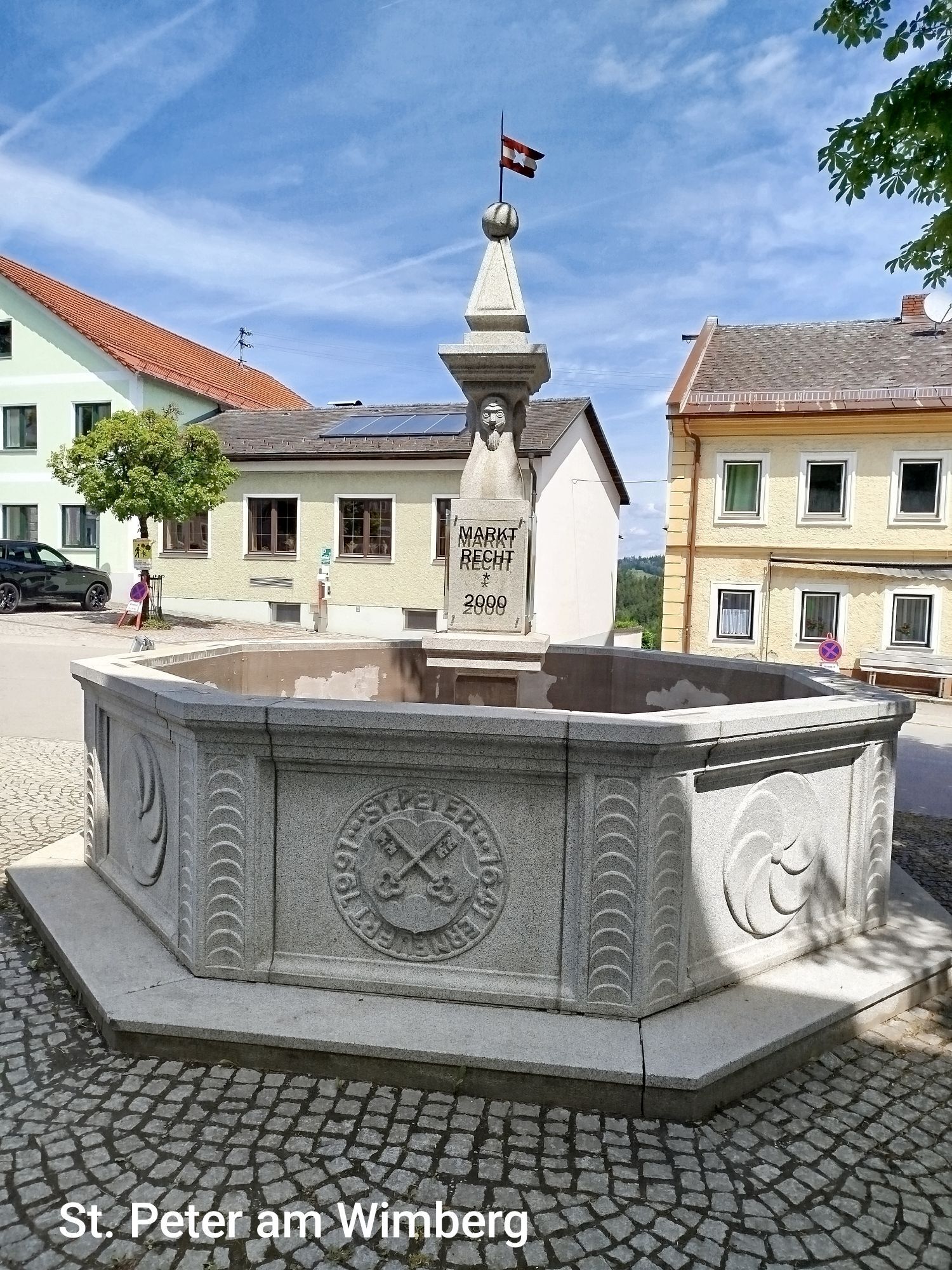
St. Peter am Wimberg
(666 m)
Dedina
55,1 km
Kirche St. Peter am Wimberg
(667 m)
Miesto uctievania
55,3 km
Pfarrkirche St. Johann
(720 m)
Miesto uctievania
64,3 km
Dorfstüberl
(721 m)
Reštaurácia
64,3 km
St. Johann am Wimberg
(722 m)
Dedina
64,4 km
Keplingerwirt
(723 m)
Reštaurácia
64,4 km
Informácie o prehliadke
On your own with our trees

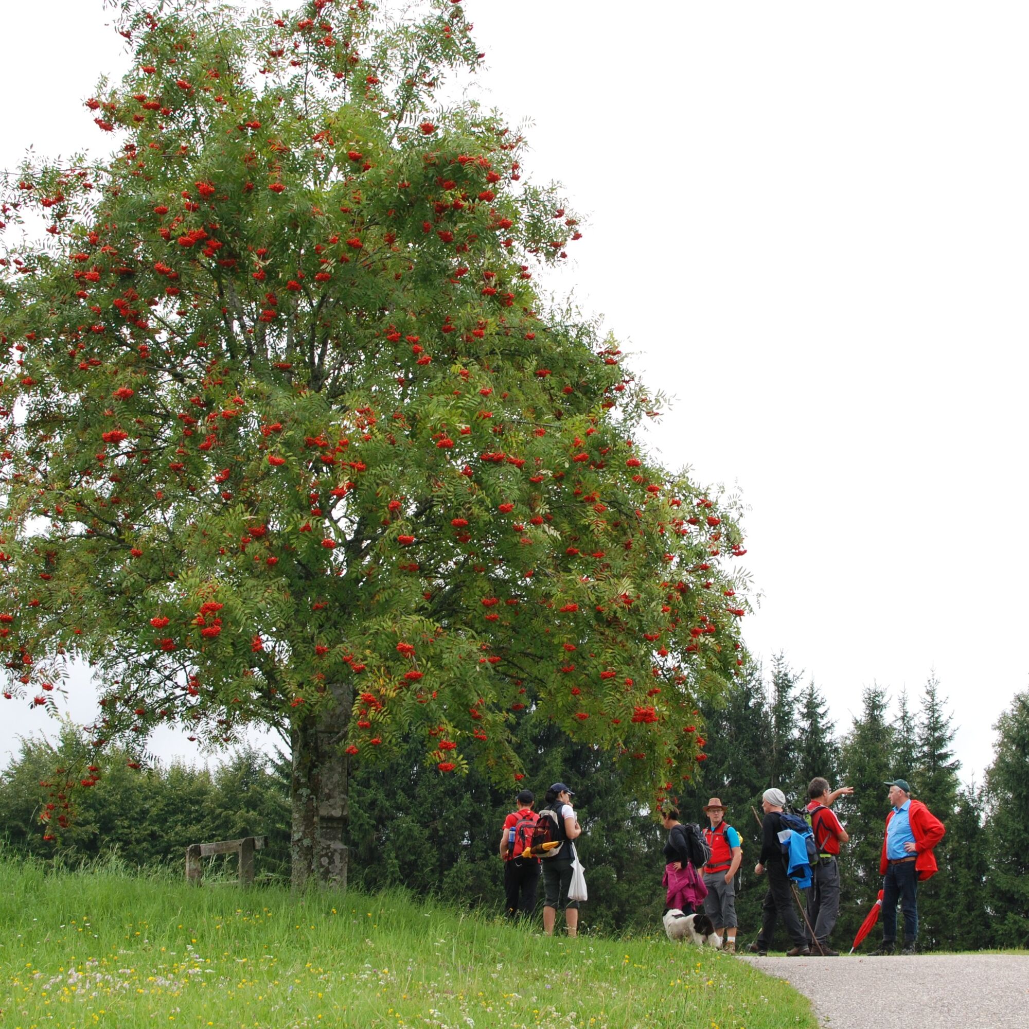
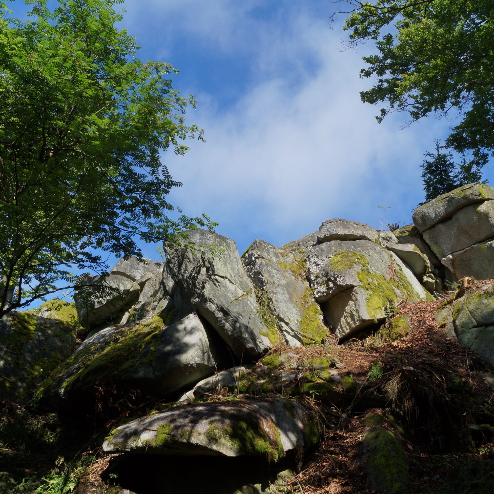
The 60 km circular trail is dedicated to the topic of "tree healing". Thirty boards provide information about the healing power, mythology and effects of trees. Basically, tree medicine heals with the vitality of trees. However, plant parts are also used in folk medicine, homeopathy, Bach flower therapy and, of course, in traditional European medicine. 

The oak leaf was chosen as the symbol of the trail, as the oak symbolises strength and endurance. 

Technológia
n.a.
Stav
3 / 6
Krajina
3 / 6
Skúsenosti
n.a.
Najlepšie ročné obdobie
Jan
Feb
Mar
Apr
Máj
Jún
Júl
Aug
Sep
Okt
Nov
Dec
Autor
Prehliadku Power Source Tree zabezpečuje outdooractive.com.
Logo
Zdieľať prehliadku
Mapa
Power Source Tree
stredná
Turistika
64,51 km
Chyba
Vyskytla sa chyba. Prosím, skúste to znova.
Turistika a stopovanie

Turistika a stopovanie

Turistika a stopovanie
Viac ako 550.000 návrhov výletov, podrobné mapy a intuitívny plánovač trás robia z aplikácie povinnú výbavu pre všetkých nadšencov prírody.
bergfex