






Hike to the eastern shore of Lake Hallstatt
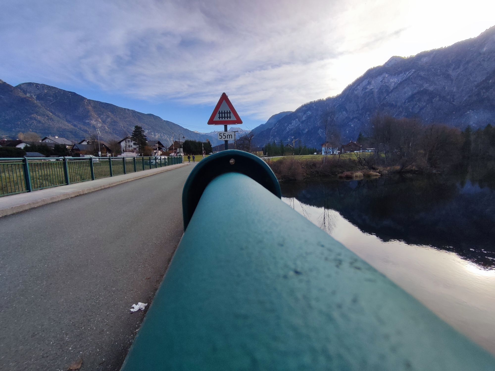
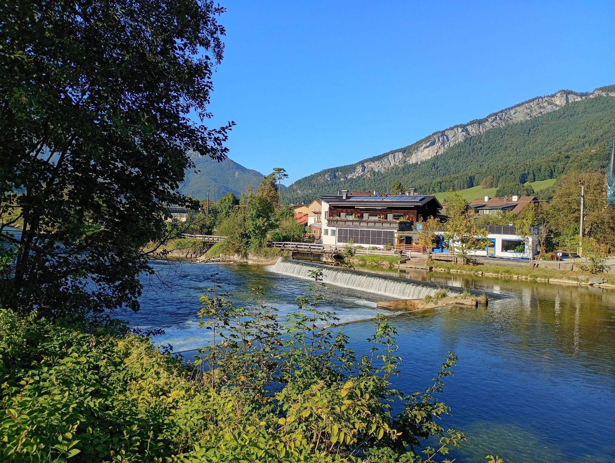
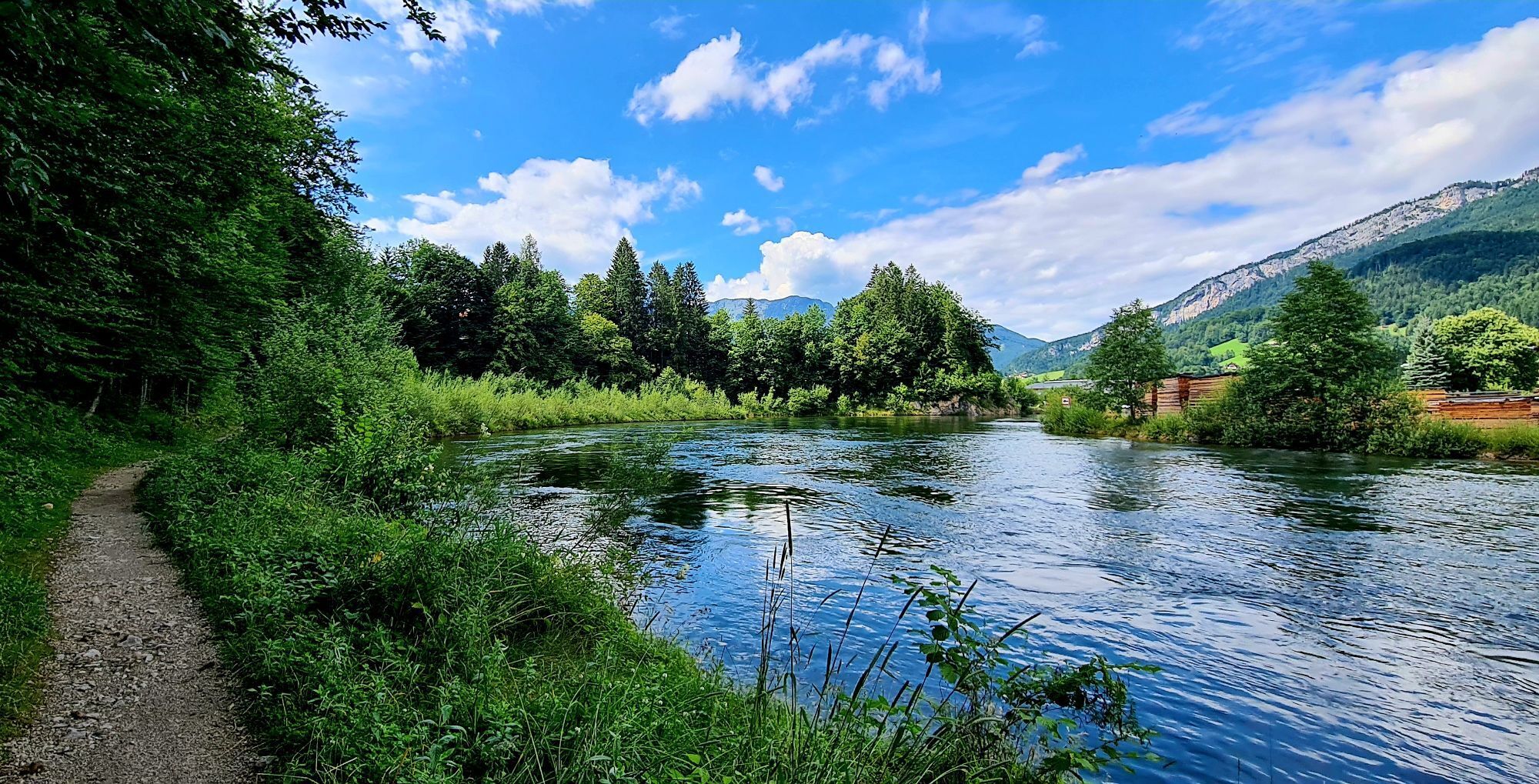
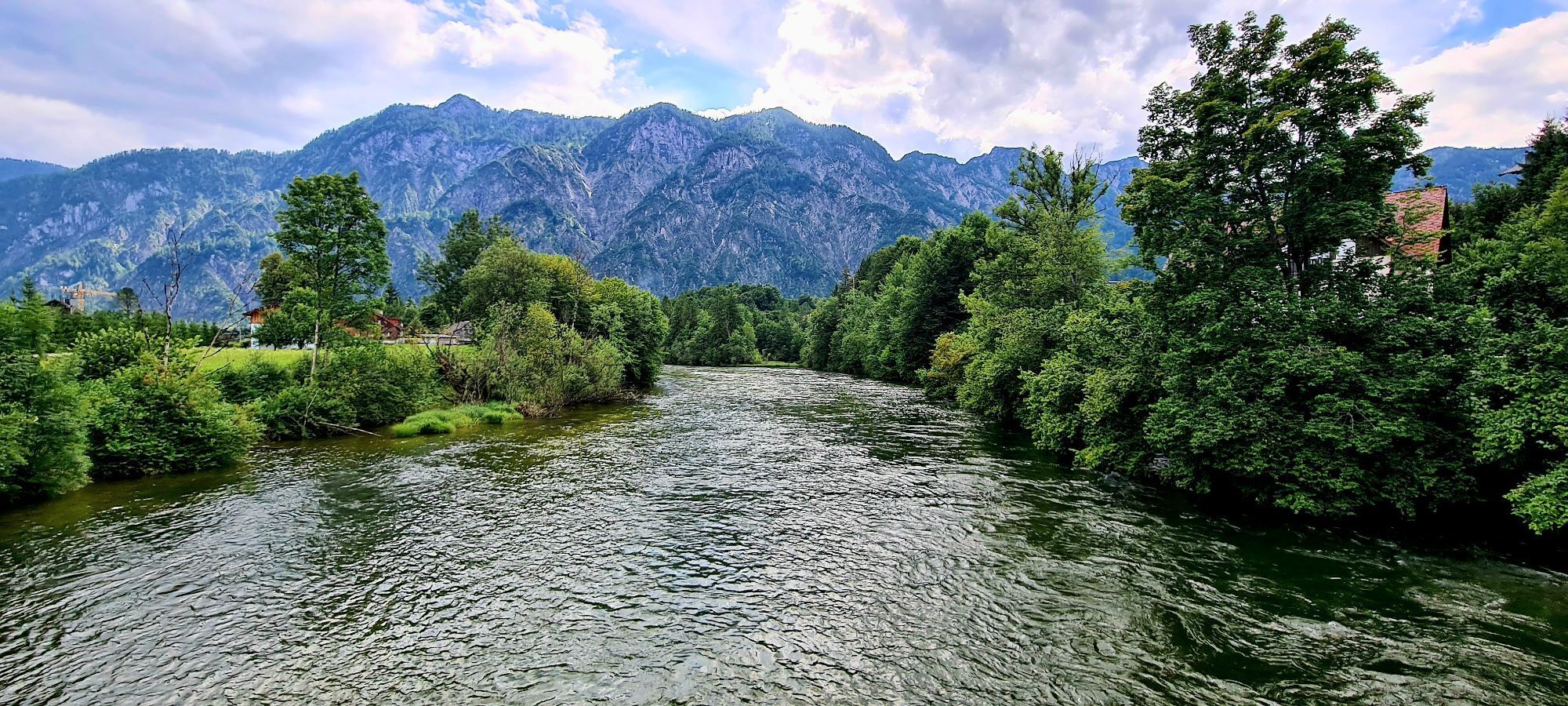

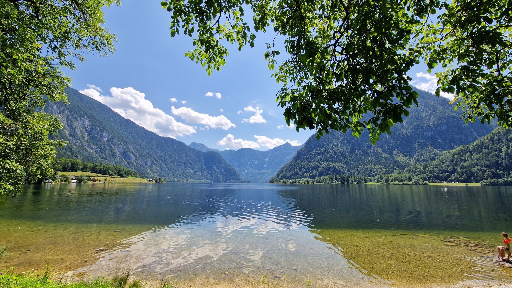
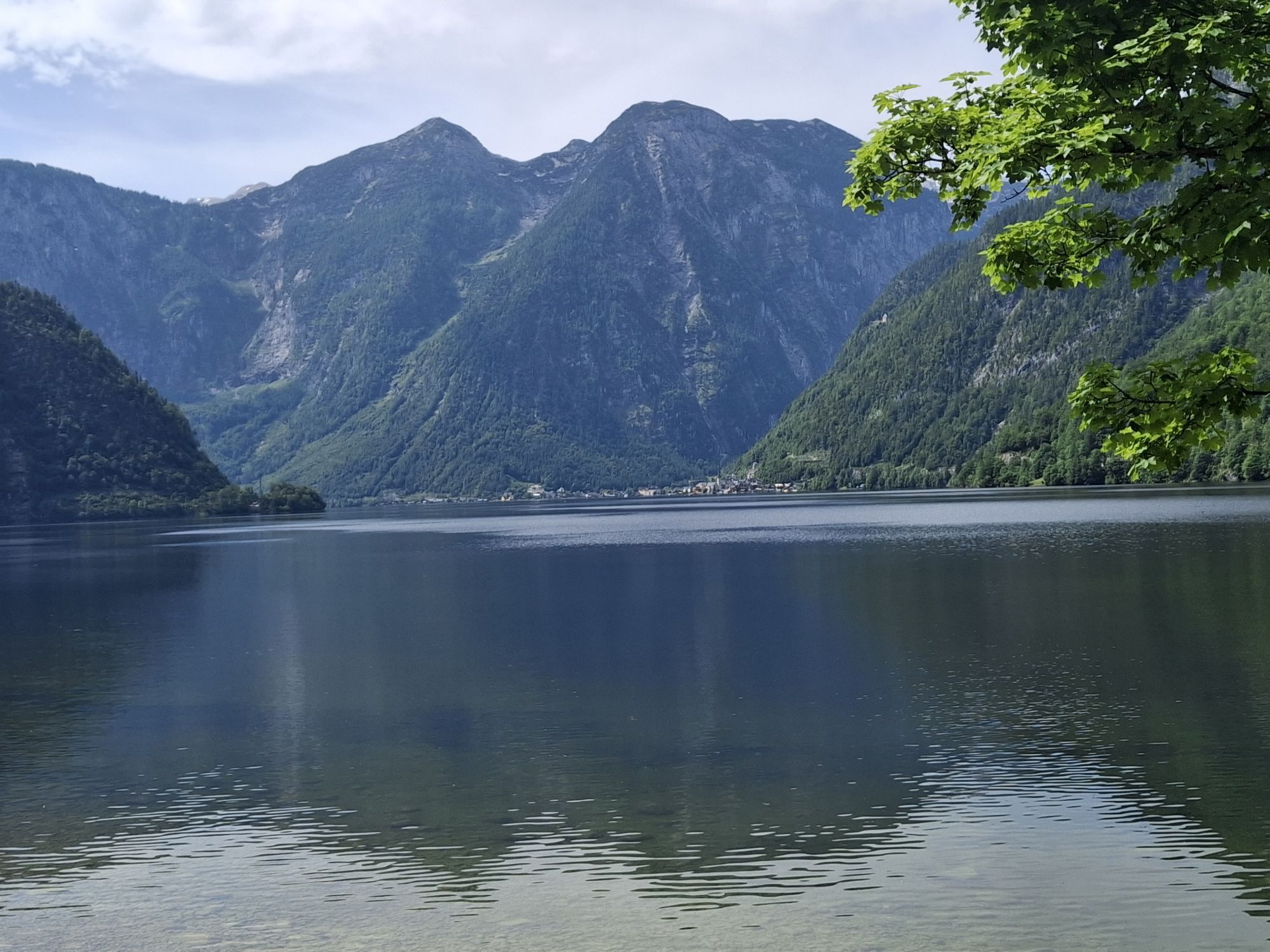
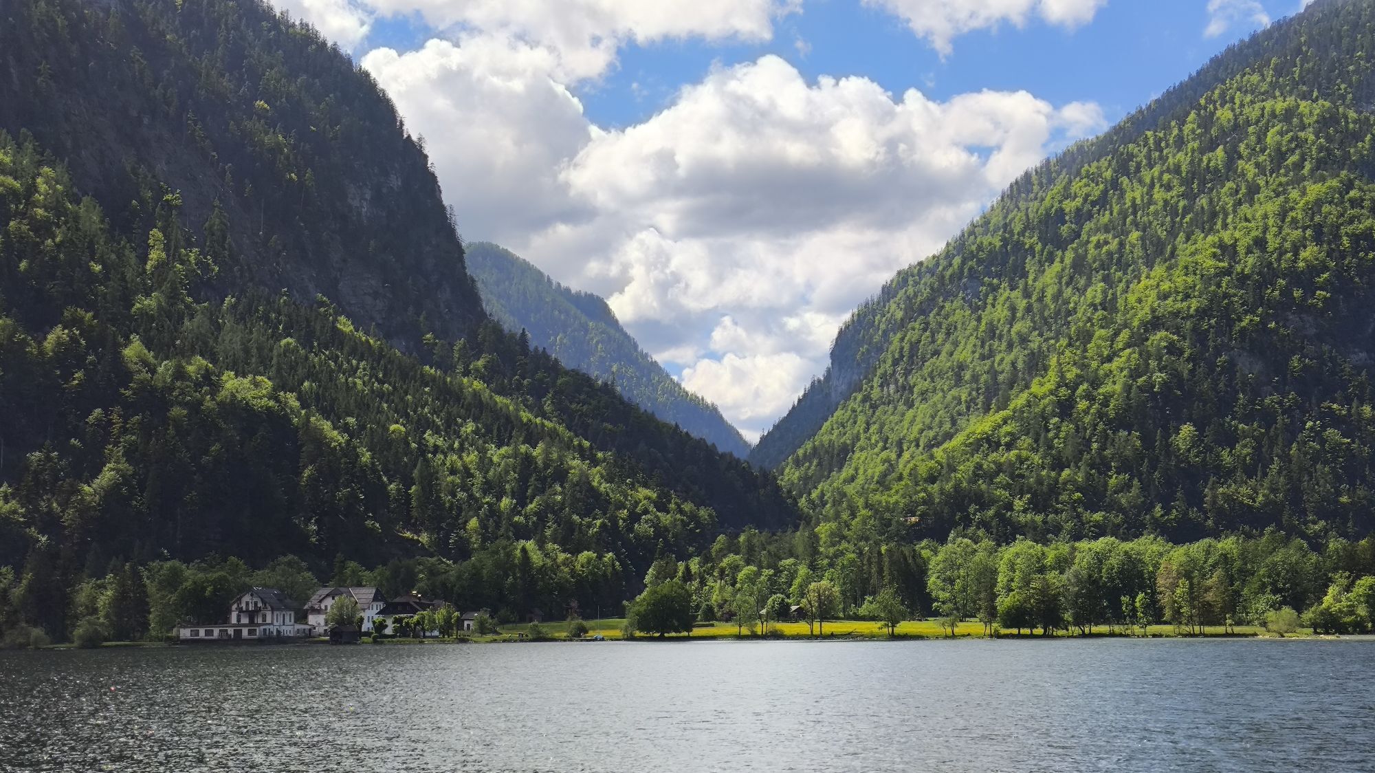
Wonderful hike between mountain and lake
Start directly at the Bad Goisern tourist office. Go right along Kirchengasse and then left to the lower Marktstraße. Cross this and stay on Kurparkstraße for approx....
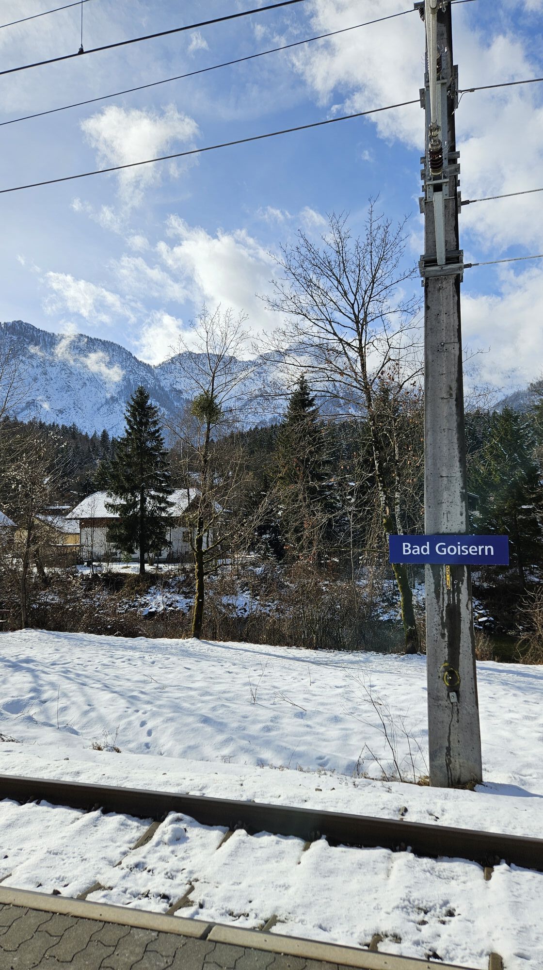
Start directly at the Bad Goisern tourist office. Go right along Kirchengasse and then left to the lower Marktstraße. Cross this and stay on Kurparkstraße for approx. 20 metres before turning left into Gottlieb-Oberhauser-Straße.
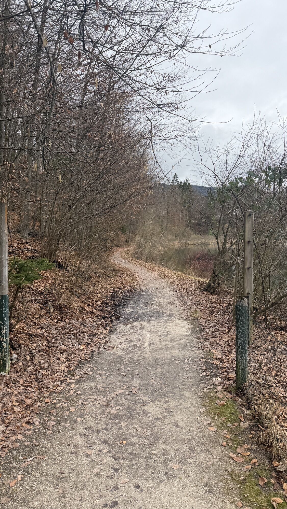
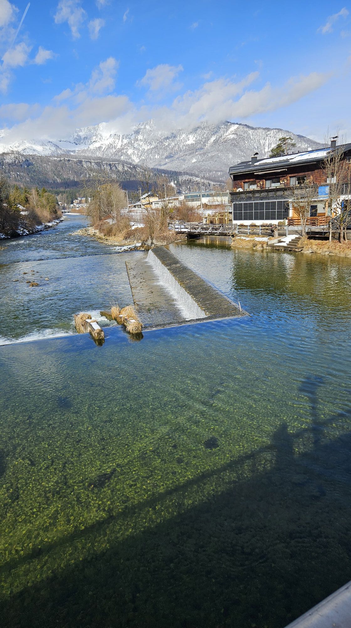
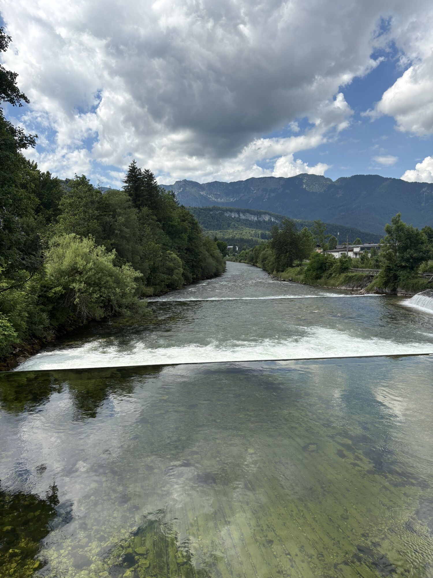
The Perndanner-Promenade will then take you to Ramsaustraße. Turn right over the Goisererbrücke bridge and then left along Hinlaufstraße. After a few minutes' walk, a path on the left leads down to the Traun. Follow this path past the power station to Görbstraße. After a few metres, a hiking trail on the right next to the railway takes you to Stambach and on to Au. Cross the B166. You will now pass the Bäckerei Maislinger and the Metzgerwirt Vieh Heli. A short break for refreshments would be worthwhile here.
Follow Arikoglstraße for a few metres before turning left onto the "Übers Maneck" hiking trail. At the end of the path, you will come to a crossroads. On the right, you will come to Strandbad Untersee. A dip in the beautiful Lake Hallstatt is recommended here and brings the much-desired cooling off on hot summer days.
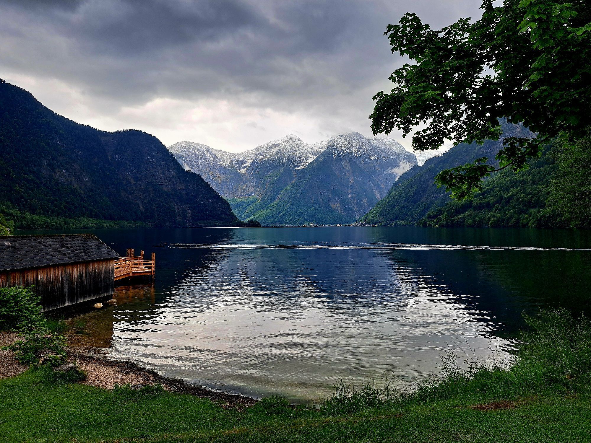
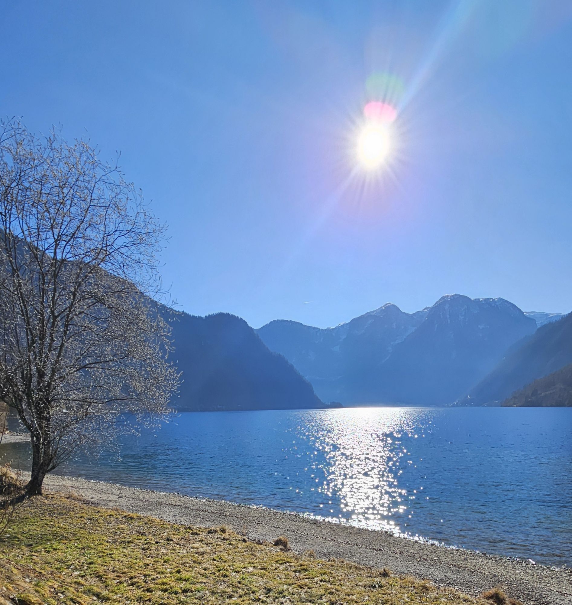
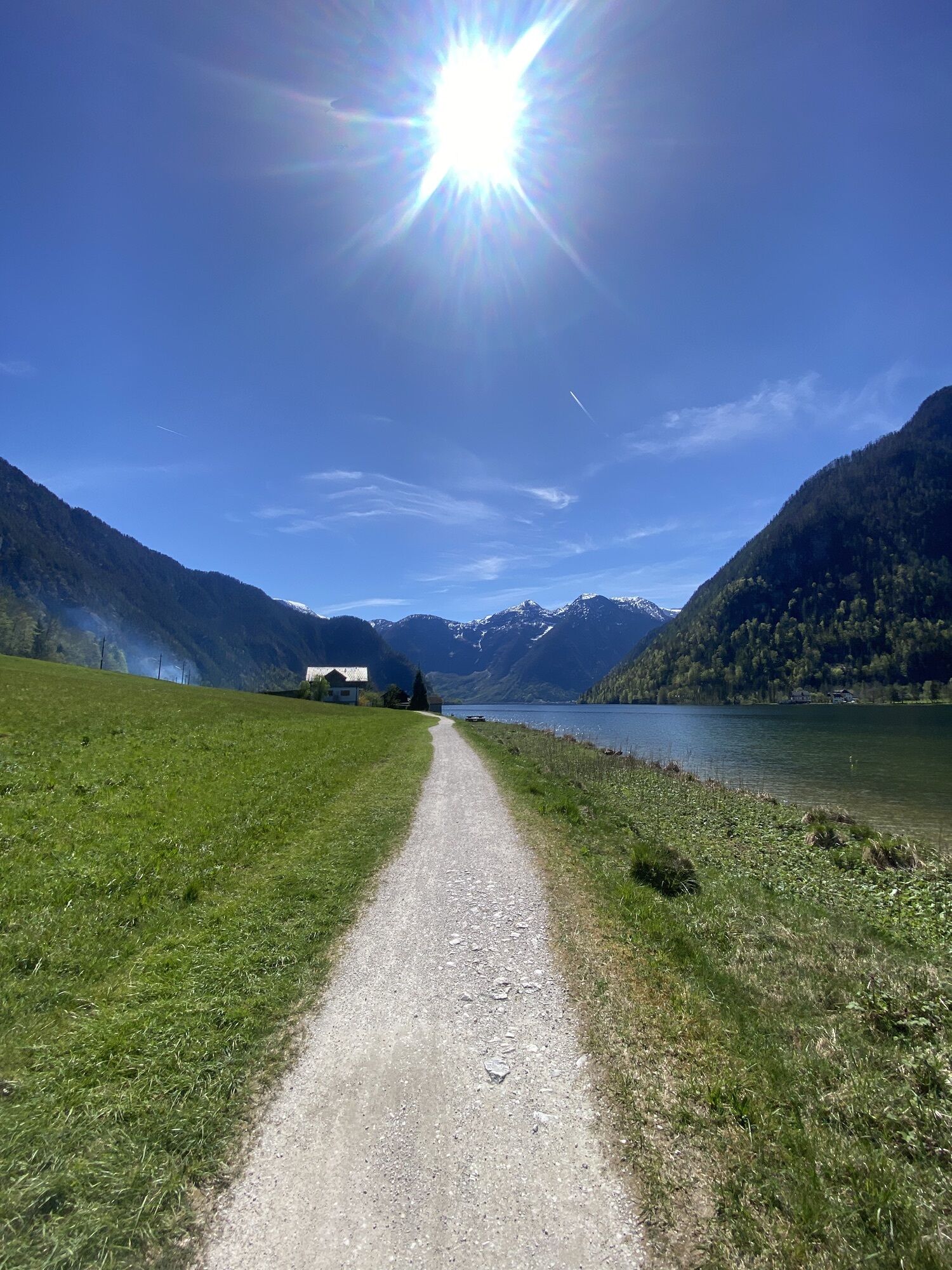
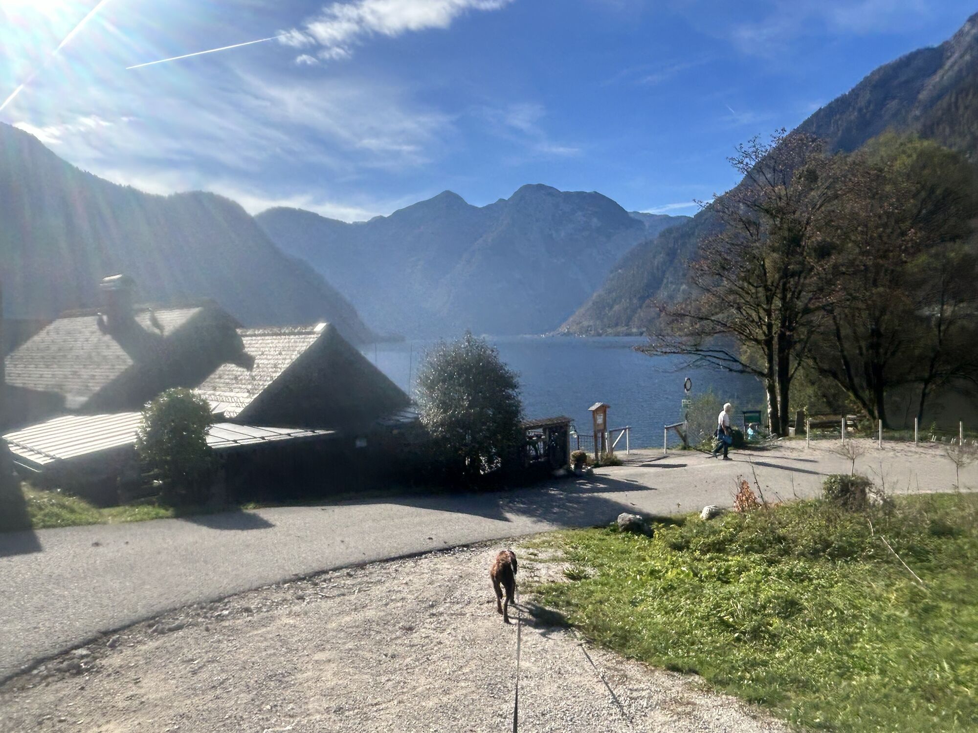
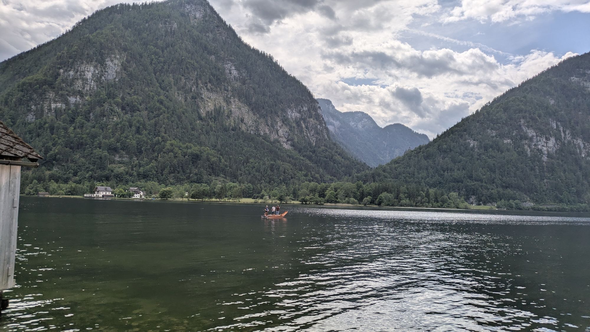
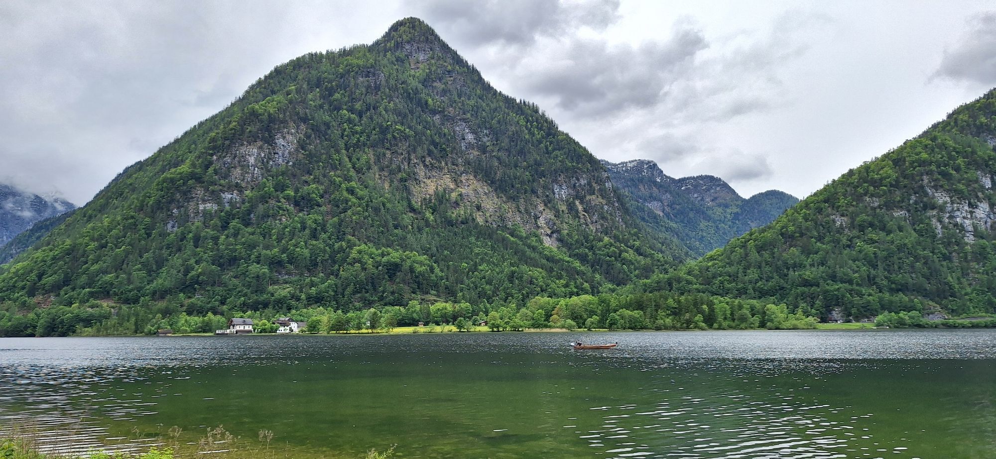
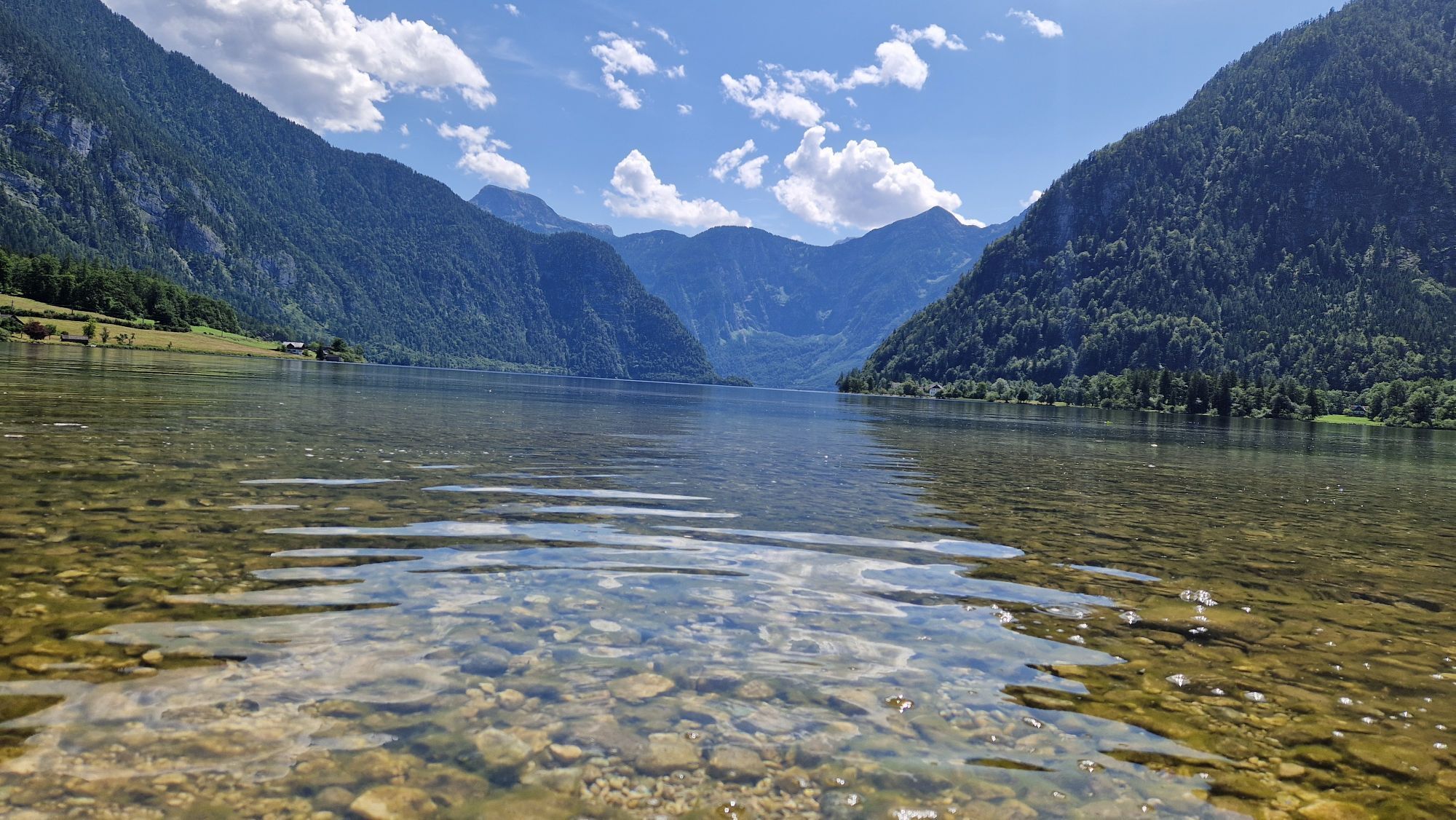
However, the tour continues along the road towards Obersee - Ostuferwanderweg. Enjoy the view of the lake and watch the gentle waves glistening in the sun. A few seats invite you to linger.
After a short time, you will reach the end point of this hike: the Glücksplatz "s'Goiserer Seeplatzl" and the Uferwirt Seeraunzn. A break on the sun terrace is always worthwhile here.
You can return via the same route.
Would you like to continue your hike? The Ostuferwanderweg trail would take you to Obertraun, directly to Strandbad.
Experience a 360° panoramic tour through Bad Goisern on Lake Hallstatt...


 Získajte prehľad
Vždy naživo na mieste s viac ako 9 500 webovými kamerami. bergfex Ako používateľ Pro si teraz môžete pozrieť príslušné webové kamery pre mnohé zájazdy v aplikácii zájazdy z. Môžete si tak priamo prezerať aktuálne podmienky.
Získajte prehľad
Vždy naživo na mieste s viac ako 9 500 webovými kamerami. bergfex Ako používateľ Pro si teraz môžete pozrieť príslušné webové kamery pre mnohé zájazdy v aplikácii zájazdy z. Môžete si tak priamo prezerať aktuálne podmienky.
Obľúbené výlety v okolí
-
4,5
Altaussee: Seeumrundung
Horská turistika 7,58 km -
4,2
Heilbronner Rundwanderweg
svetloTuristika 9,04 km -
4,4
Loser: Loserfenster und Losergipfel
strednáTuristika 2,48 km -
3,8
Ostuferwanderweg
svetloTuristika 16,2 km -
4,7
Tour around the Lake Gosau
svetloTuristika 4,43 km -
4,9
From Rußbach over the Gamsfeld
ťažkéTuristika 11,5 km -
4,5
Hike to the Hütteneckalm
svetloTuristika 8,70 km -
4,5
Adamekhütte vom Vorderen Gosausee
strednáTuristika 23,2 km -
4,9
„Hoher Sarstein 1975m“ - Hallstätter Genusstour - Hallstatt - Obertraun - Bad Ischl
ťažkéTuristika 23,2 km -
4,8
Loserrunde über Augstsee, Loserfenster, Losergipfel und Loserhütte
strednáTuristika 4,69 km
Turistika a stopovanie


Nenechajte si ujsť ponuky a inšpiráciu na ďalšiu dovolenku
Vaša e-mailová adresa bol pridaný do poštového zoznamu.





