
Stoakraftweg
stredná
Získajte túto prehliadku v mobilnom telefóne
Stoakraftweg
stredná
Turistika
48,32
km
Naskenujte kód QR a spustite navigáciu v aplikácii bergfex


Turistika a stopovanie



Stoakraftweg
stredná
Vzdialenosť
48,3
km
Trvanie
15:18
h
Ascent
1 398
hm
Hladina mora
319 -
725
m

Naviguj sa počas prehliadky v aplikácii
Nainštalujte si aplikáciu zadarmo a sledujte trasu vďaka GPS navigácii a sledovaniu polohy.
Využite službu „ bergfex “ už teraz v aplikácii
Naskenuj QR kód pomocou fotoaparátu
Ak máte aplikáciu nainštalovanú, obsah sa otvorí priamo. Ak aplikáciu ešte nemáte, budete presmerovaní na stránku, kde si ju môžete bezplatne stiahnuť.
Stiahnutie skladby
Stoakraftweg
stredná
Turistika
48,32
km
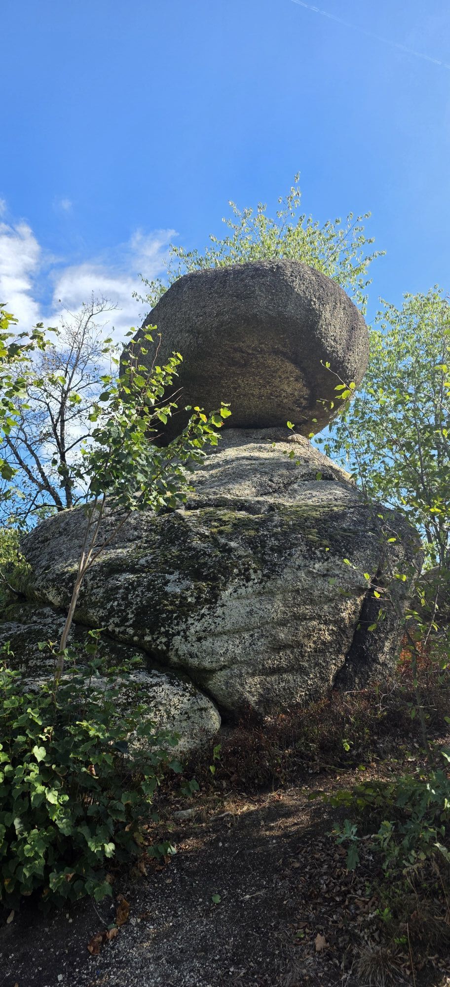
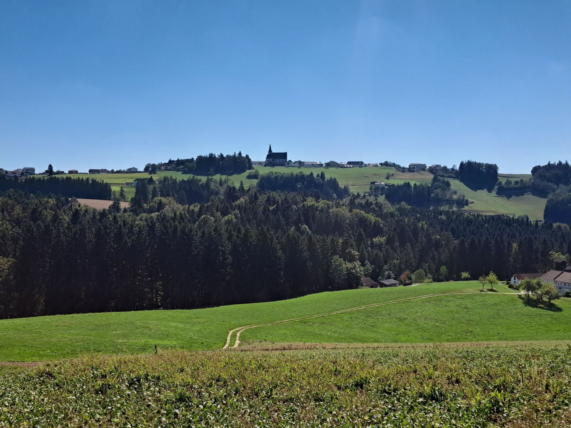
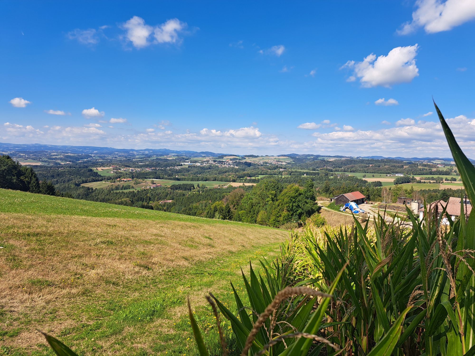


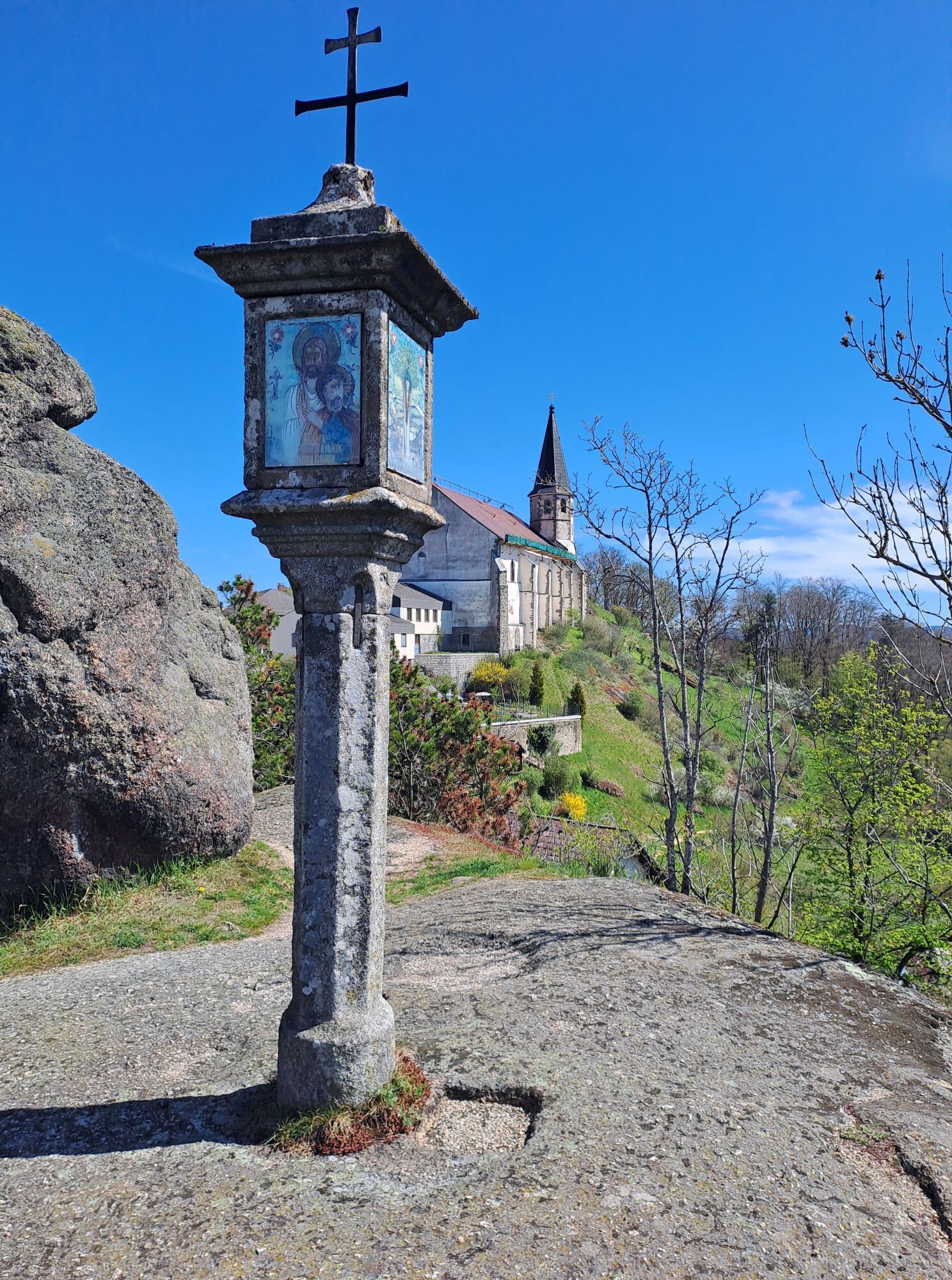

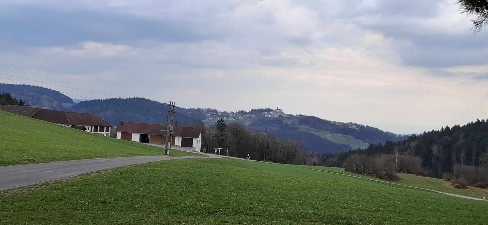


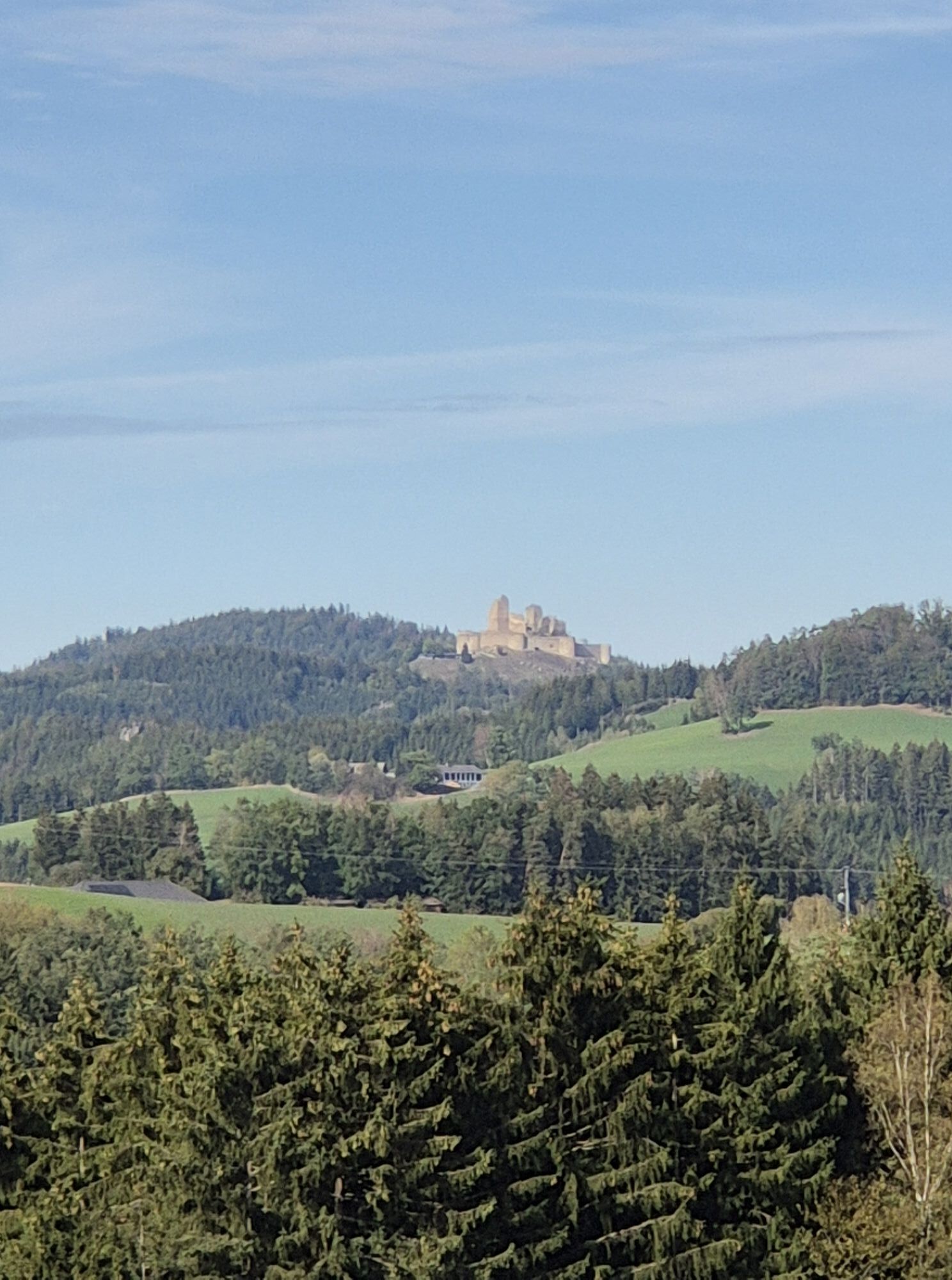
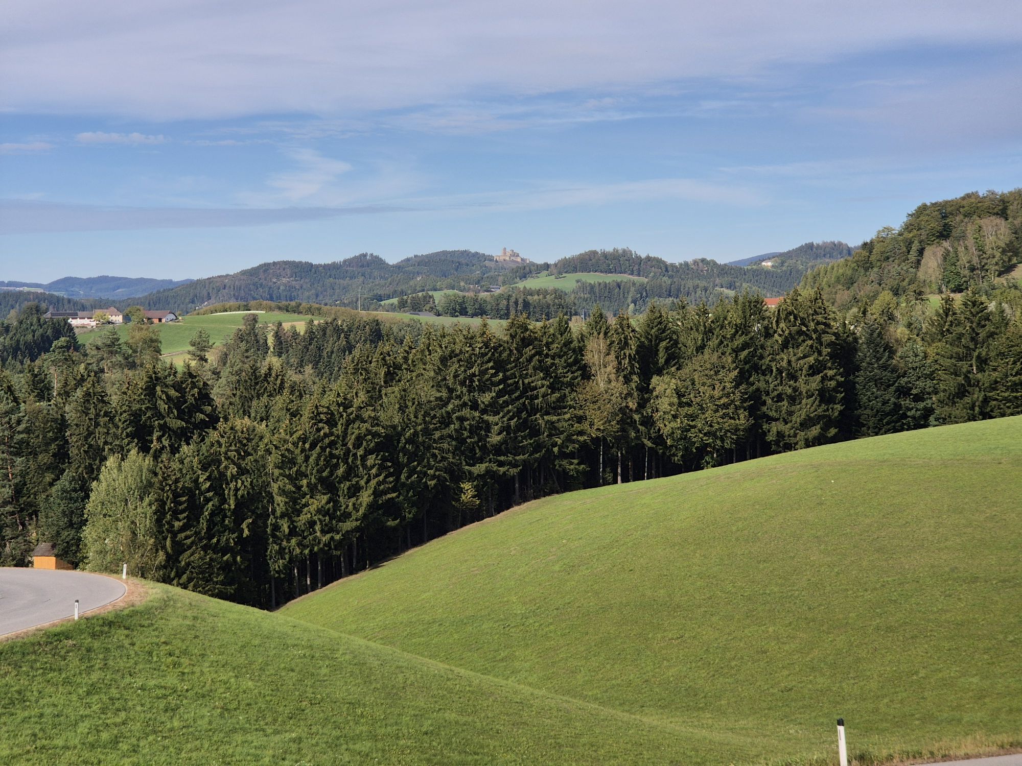
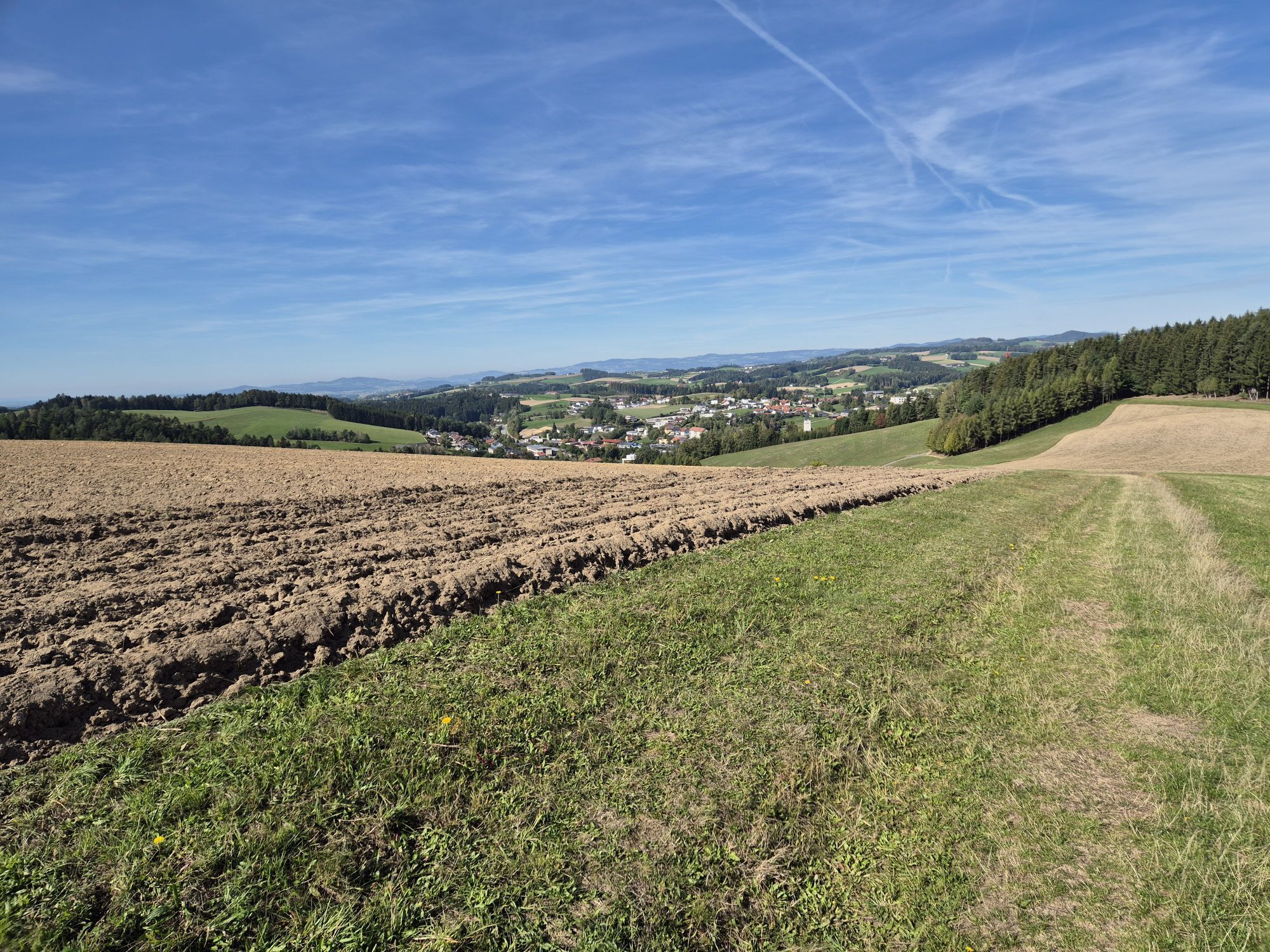


We recommend Bad Zell or Rechberg as a possible starting point, as there are several catering and accommodation establishments in these towns - including certified nature park partner businesses.
The Stoakraftweg...
Opis
We recommend Bad Zell or Rechberg as a possible starting point, as there are several catering and accommodation establishments in these towns - including certified nature park partner businesses.
The Stoakraftweg can be planned in 2-day or 3-day stages.
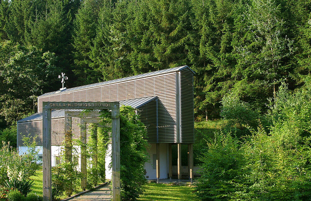
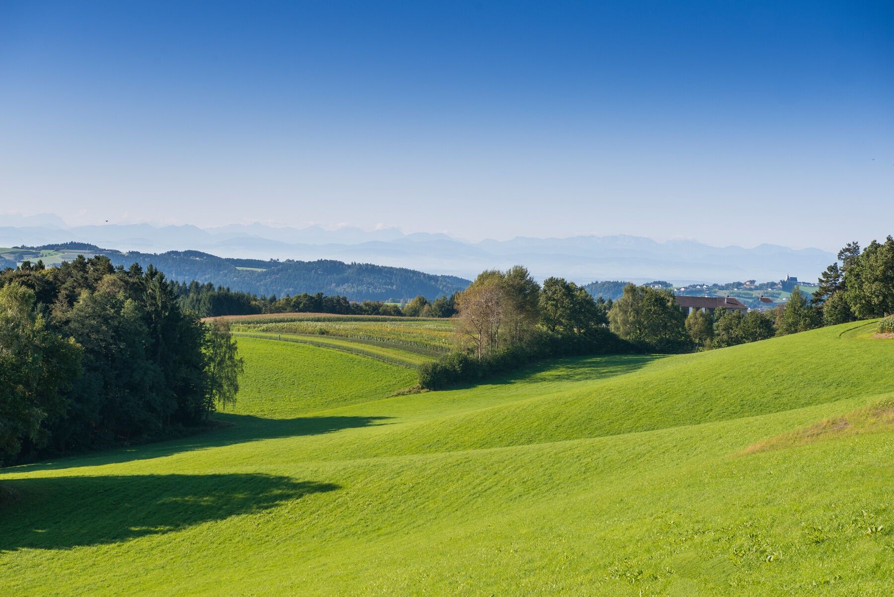
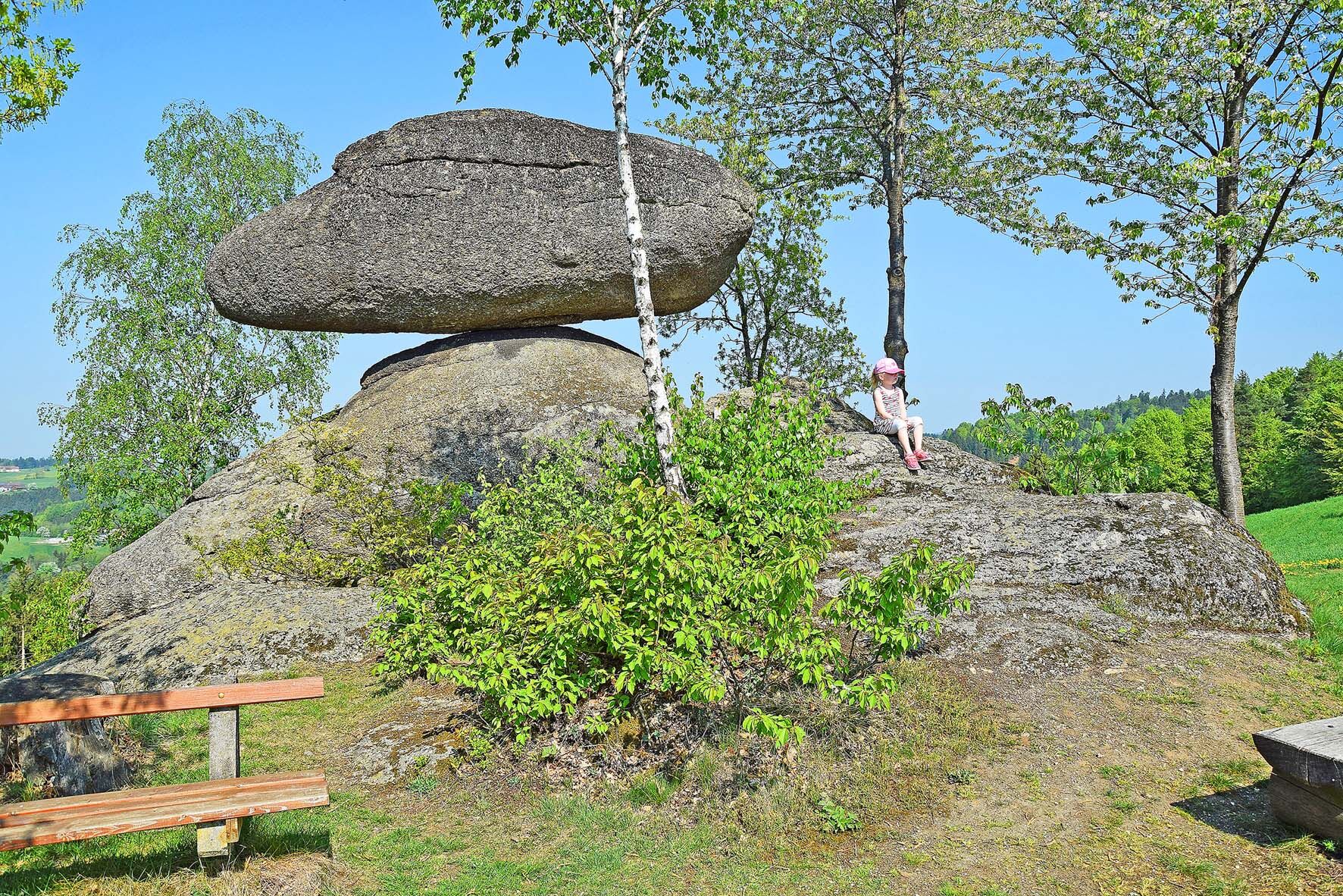
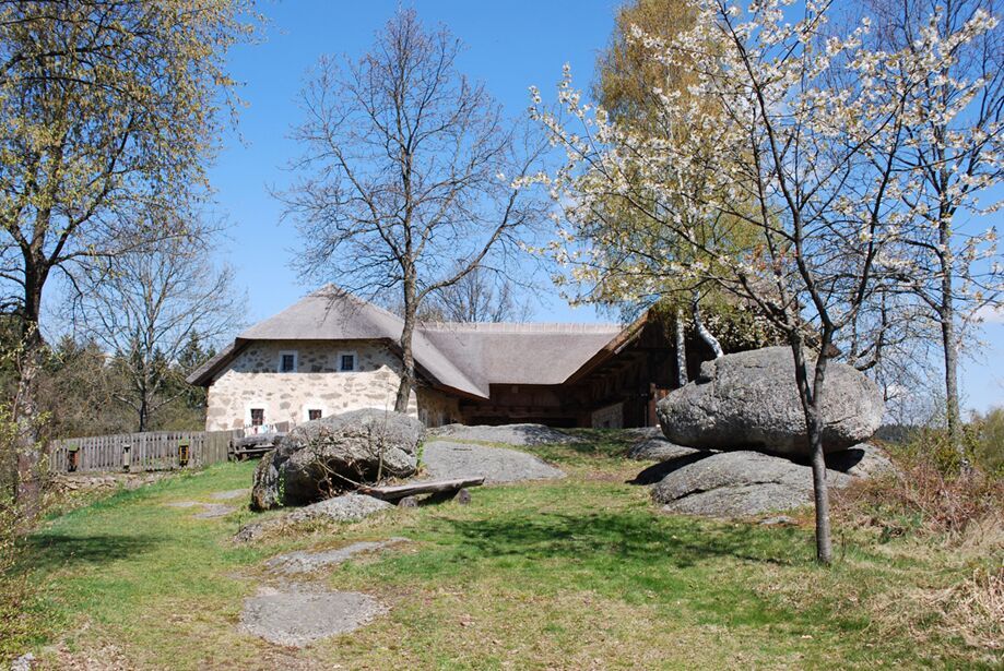
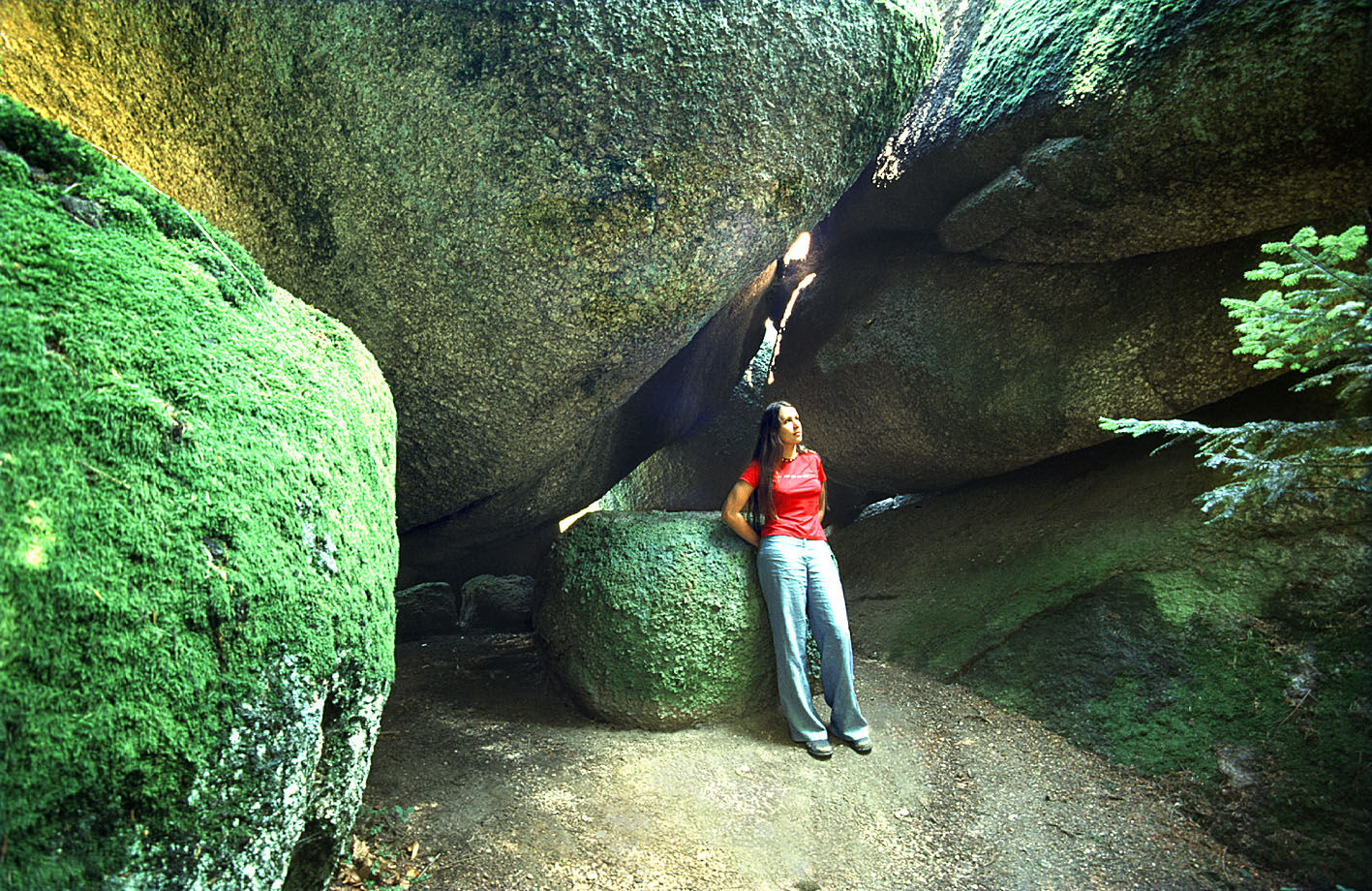
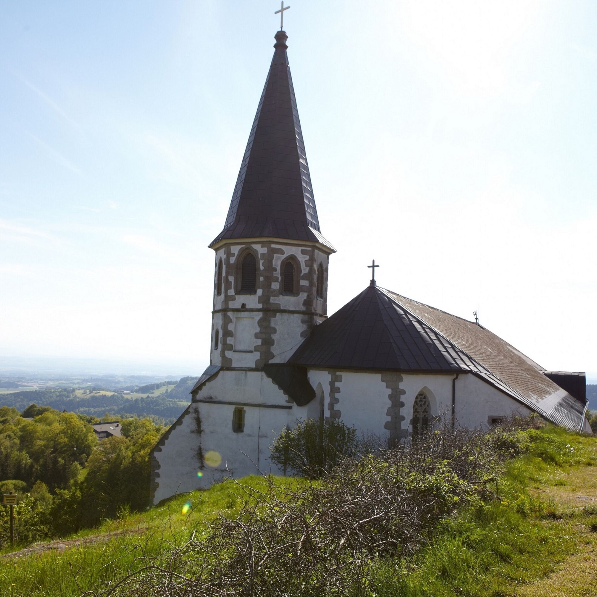
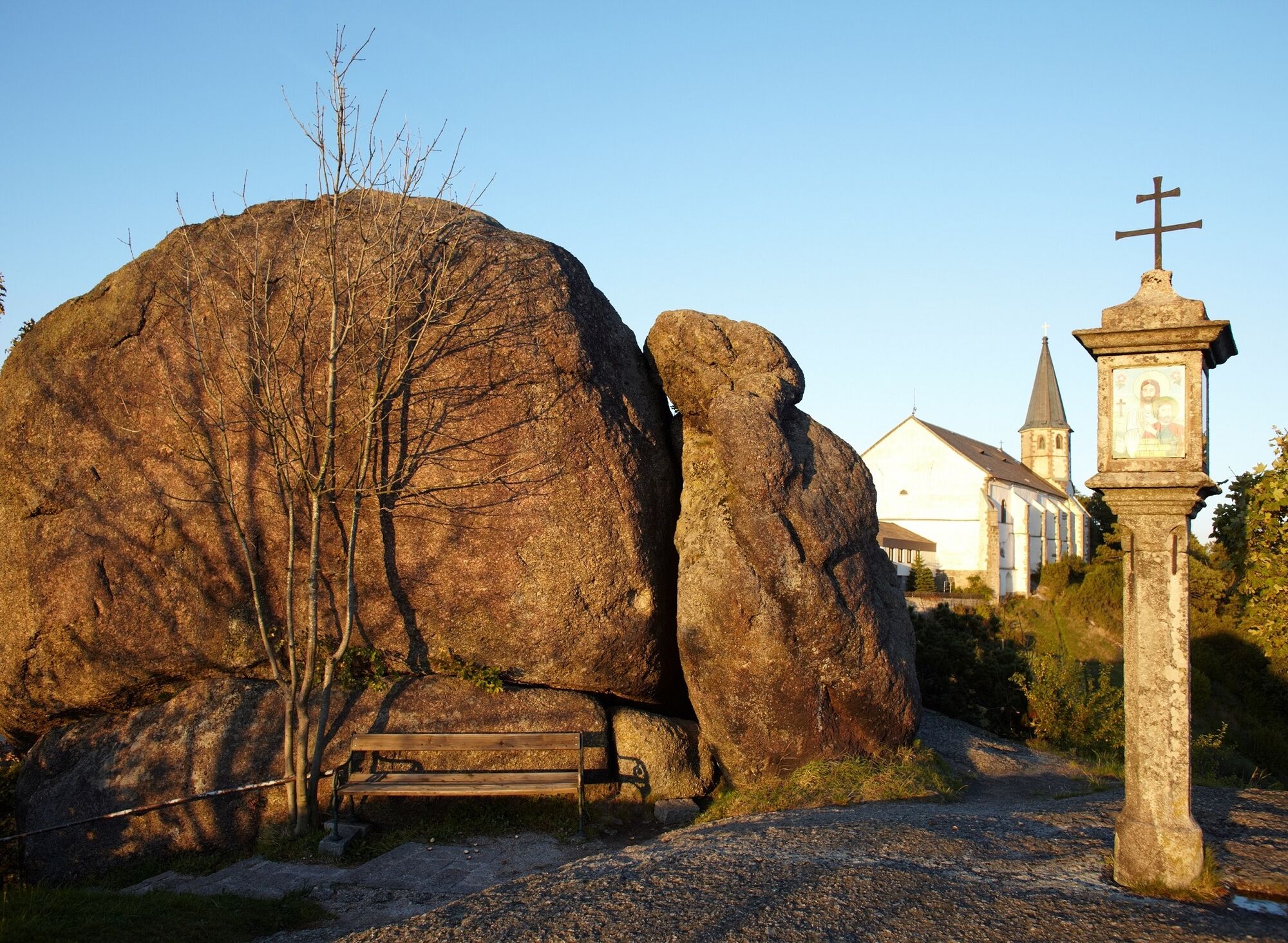
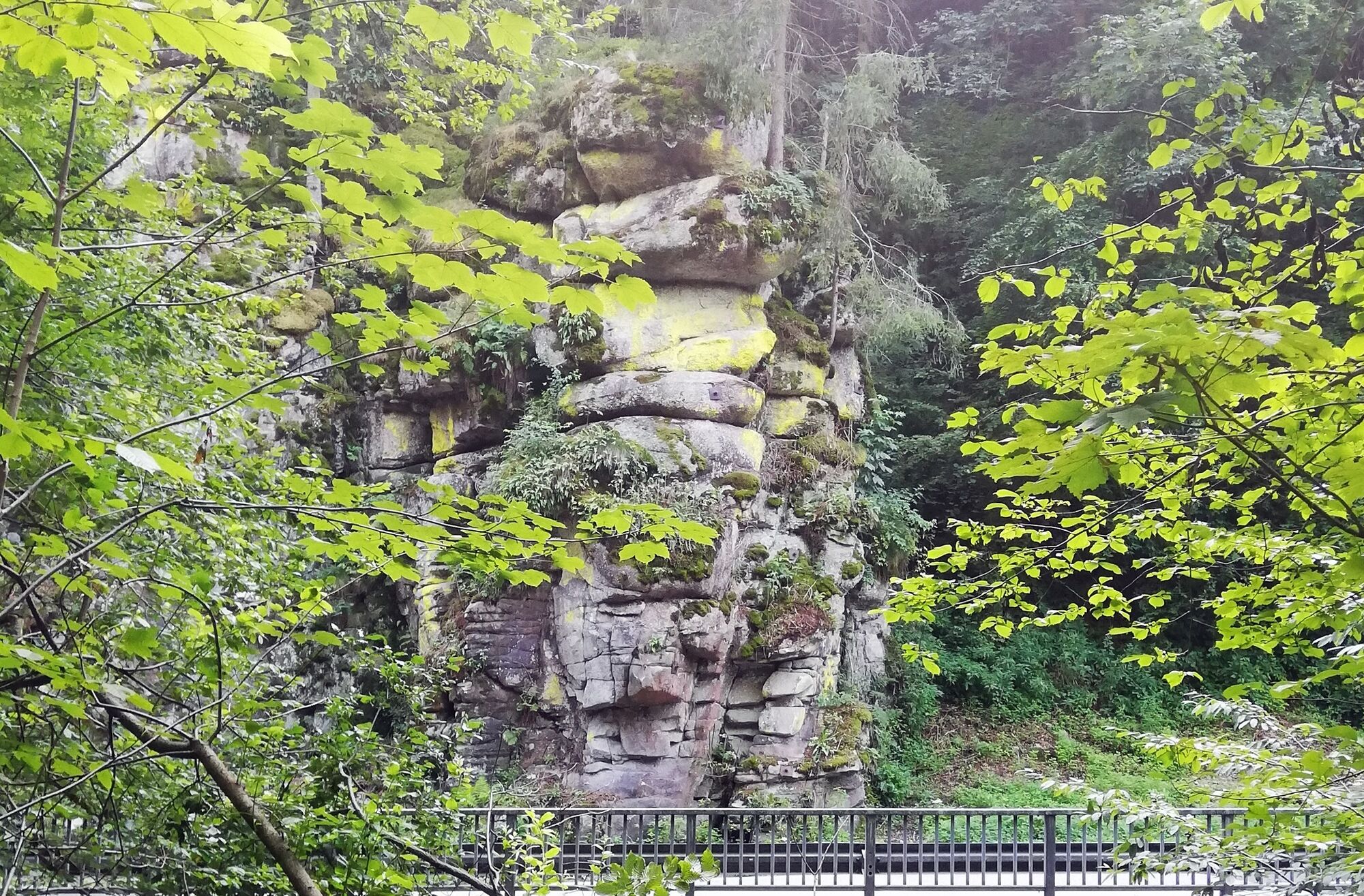
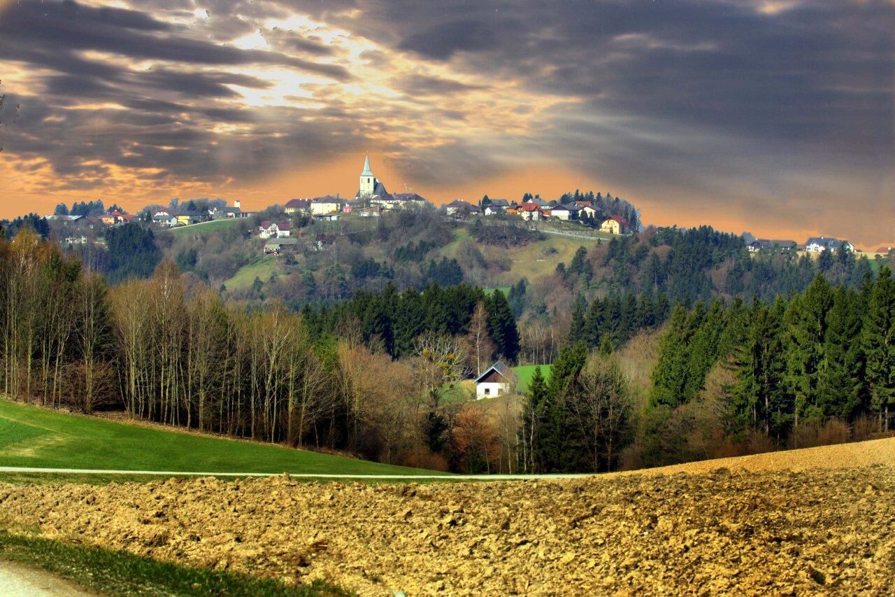
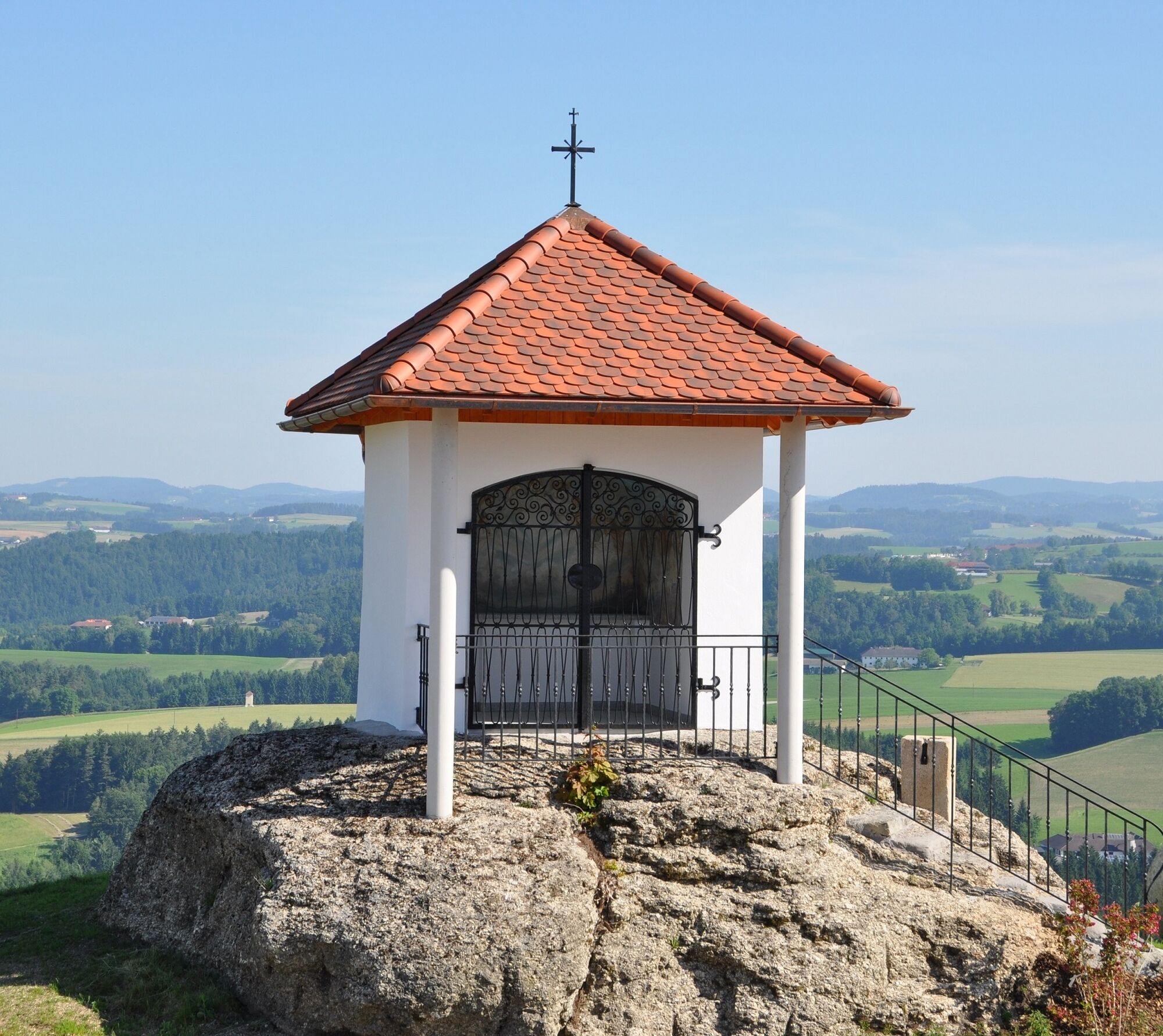
One starting point, for example, is in Bad Zell - car park Volksschule/Lebensquell, continuing up the Baumberg with fantastic views past the Zellhof castle ruins, down into the romantic Naarntal valley, up to the Pammerhöhe and on to the gypsy walls, Bucklwehluckn and the pilgrimage church of St. Thomas am Blasenstein with the "Luftgselchten Pfarrer". The route leads back via Rechberg to the Großdöllnerhof open-air museum and the Schwammerlstein back into the Naarntal valley and then up to the pilgrimage church of All Saints and to Bad Zell to the Hedwigsbründl.
Rechberg is a suitable starting point for a 2-day stage, as the hiking trail can be walked in a figure-of-8 loop with the help of a short spur trail - i.e. Rechberg is both the starting point and the destination.
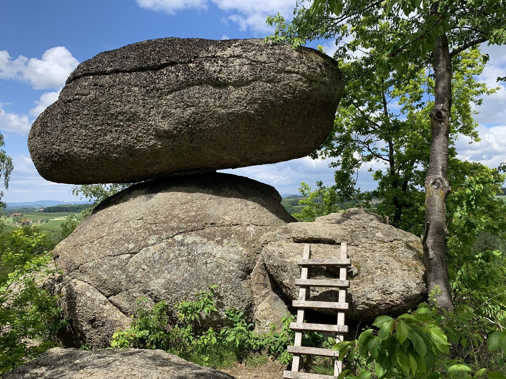
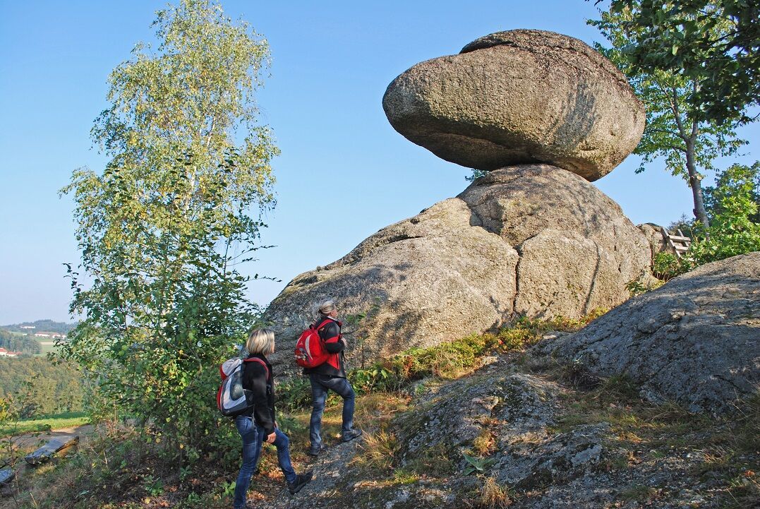
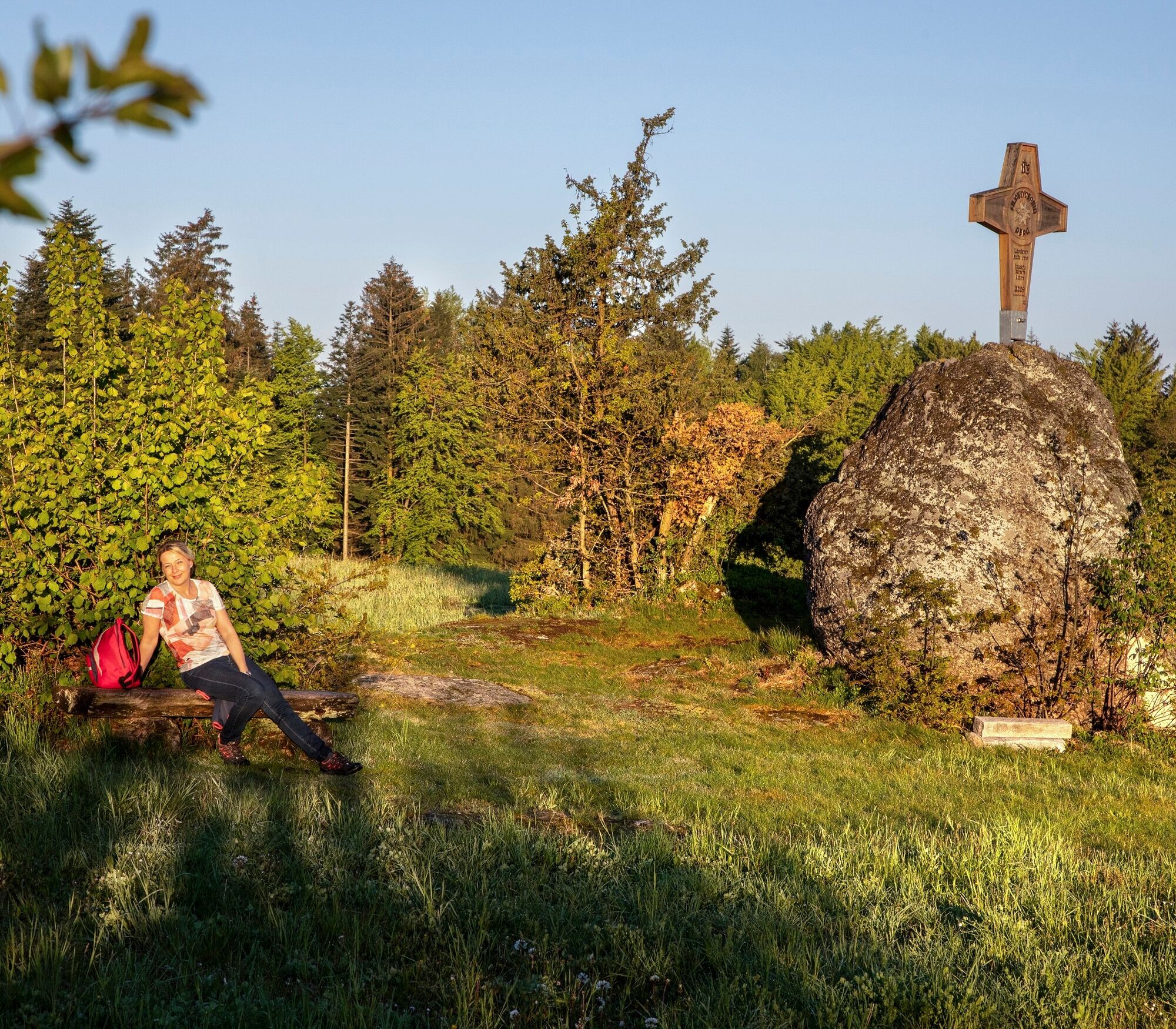
From the village square, you pass the bathing lake and take the connecting path to the Elefantenstein. Continue over the Zigeuenermauern to the Bucklwehluck'n in St. Thomas a. Bl. Via the Käfermühlbachtal valley, the trail leads past the KUMM disc golf course to the Großdöllnerhof farm. You return to Rechberg via the Plenkerberg and the viewing platform.
The next stage of the day leads over the Schwammerling into the wild and romantic Naarntal valley, up to the pilgrimage church in Allerheiligen. Beautiful forest and meadow paths lead via Baumgarten and Hennberg to Hedwigsbründl in Bad Zell. The trail leads over the Baumberg via the Zellhof castle ruins into the Naarntal valley and over the Puchberg to the Pammerhöhe and back to Rechberg via the cul-de-sac.
A detailed hiking map with lots of information is available at the municipal offices, tourist information centres and inns for a fee of € 3.
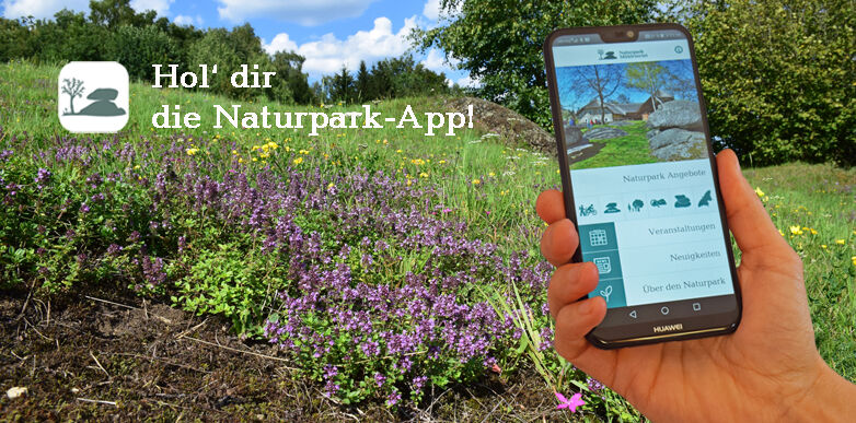
The free Naturpark Mühlviertel APP is the ideal companion, providing you with all important information conveniently on your mobile phone.
Trasa
Baumberg
(630 m)
Summit
1,1 km
Meislberg
(602 m)
Zúčtovanie
8,0 km
Zigeunermauer
(744 m)
Summit
12,3 km
Plenkerberg
(706 m)
Summit
23,4 km
Pfarrkirche Rechberg
(576 m)
Miesto uctievania
24,8 km
Wallfahrtskirche Allerheiligen im Mühlkreis
(570 m)
Miesto uctievania
37,4 km
Baumgarten
(480 m)
Dedina
40,1 km
Trasa
Stoakraftweg
stredná
Turistika
48,32
km
Bad Zell
(518 m)
Dedina
0,0 km
Baumberg
(630 m)
Summit
1,1 km
Zellhof
(606 m)
Zúčtovanie
2,6 km
Puchberg
(684 m)
Koridor/terén
6,8 km
Meislberg
(602 m)
Zúčtovanie
8,0 km
Kreuzberg
(587 m)
Zúčtovanie
11,1 km
Kleinmaseldorf
(659 m)
Zúčtovanie
12,1 km
Zigeunermauer
(744 m)
Summit
12,3 km
Blasenstein
(723 m)
Summit
15,1 km
St. Thomas am Blasenstein
(710 m)
Dedina
15,2 km
Plenkerberg
(706 m)
Summit
23,4 km
Rechberg
(576 m)
Dedina
24,8 km
Pfarrkirche Rechberg
(576 m)
Miesto uctievania
24,8 km
Schwammerling
(582 m)
Uhol pohľadu
26,4 km
Spaten
(491 m)
Zúčtovanie
28,6 km
Allerheiligen im Mühlkreis
(567 m)
Dedina
37,3 km
Schneckenturm
(569 m)
Uhol pohľadu
37,4 km
Wallfahrtskirche Allerheiligen im Mühlkreis
(570 m)
Miesto uctievania
37,4 km
Baumgarten
(480 m)
Dedina
40,1 km
Hennberg
(477 m)
Dedina
43,2 km
Bad Zell
(518 m)
Dedina
48,3 km


Zatiaľ žiadne recenzie
Webové kamery z prehliadky

Všetky webové kamery na mape
Nainštaluj si aplikáciu zadarmo a porovnaj živé zábery z viacerých miest, než vyrazíš.
Využite službu „ bergfex “ už teraz v aplikácii
Naskenuj QR kód pomocou fotoaparátu
Ak máte aplikáciu nainštalovanú, obsah sa otvorí priamo. Ak aplikáciu ešte nemáte, budete presmerovaní na stránku, kde si ju môžete bezplatne stiahnuť.
Obľúbené výlety v okolí
-
4,4
Der Naturparkweg in Rechberg
strednáTuristika 7,54 km -
4,6
Schwertberg: Weltstoarunde
strednáTuristika 11,4 km -
4,8
Tragwein - Lebensquell-Runde
svetloTuristika 12,8 km -
4,8
Ruine Prandegg
strednáTuristika 15,6 km -
4,2
Wolfsschlucht - auf den Spuren adeliger Kurgäste
Turistika 2,29 km -
4,7
Aisttalrundweg + P6
svetloTuristika 9,36 km -
4,5
Gobelwarte-Runde, Grein
strednáTuristika 8 km -
4,8
Clamrunde durch die Schlucht
svetloTuristika 5 km -
4,4
Gobelwarte - Grein, Oberösterreich
strednáTuristika 5,41 km -
4,4
Wartberg Ob der Aist, Natura Aist Trail Rundwanderung
svetloTuristika 8,37 km
Turistika a stopovanie

Viac ako 550.000 návrhov výletov, podrobné mapy a intuitívny plánovač trás robia z aplikácie povinnú výbavu pre všetkých nadšencov prírody.

Nenechajte si ujsť ponuky a inšpiráciu na ďalšiu dovolenku
Prihlásiť sa k odberu noviniek
Chyba
Vyskytla sa chyba. Prosím, skúste to znova.
Ďakujeme za vašu registráciu
Vaša e-mailová adresa bol pridaný do poštového zoznamu.
Zájazdy po celej Európe
Rakúsko
Švajčiarsko
Nemecko
Taliansko
Slovinsko
Francúzsko
Holandsko
Belgicko
Poľsko
Lichtenštajnsko
Česko
Slovensko
španielsko
Hrvaška
Bosna a Hercegovina
Luxembursko
Andorra
Portugalsko
Island
Spojené kráľovstvo
Írsko
Grécko
Albánsko
Severné Macedónsko
Malta
Nórsko
Čierna Hora
Moldavsko
Kosovo
Maďarsko
San Maríno
Rumunsko
Estónsko
Lotyšsko
Bielorusko
Cyprus
Litva
Srbsko
Bulharsko
Monako
Dánsko
Švédsko
Fínsko


