Ebenforstalm - Trämpl
stredná
Získajte túto prehliadku v mobilnom telefóne
Ebenforstalm - Trämpl
stredná
Turistika
8,92
km
Naskenujte kód QR a spustite navigáciu v aplikácii bergfex

Turistika a stopovanie


Ebenforstalm - Trämpl
stredná
Vzdialenosť
8,92
km
Trvanie
03:30
h
Ascent
878
hm
Hladina mora
590 -
1 393
m
Stiahnutie skladby
Ebenforstalm - Trämpl
stredná
Turistika
8,92
km

Starting/End point:
Parking lot Scheiblingau in the valley of the Krumme Steyrling. Access from Molln (18 km).
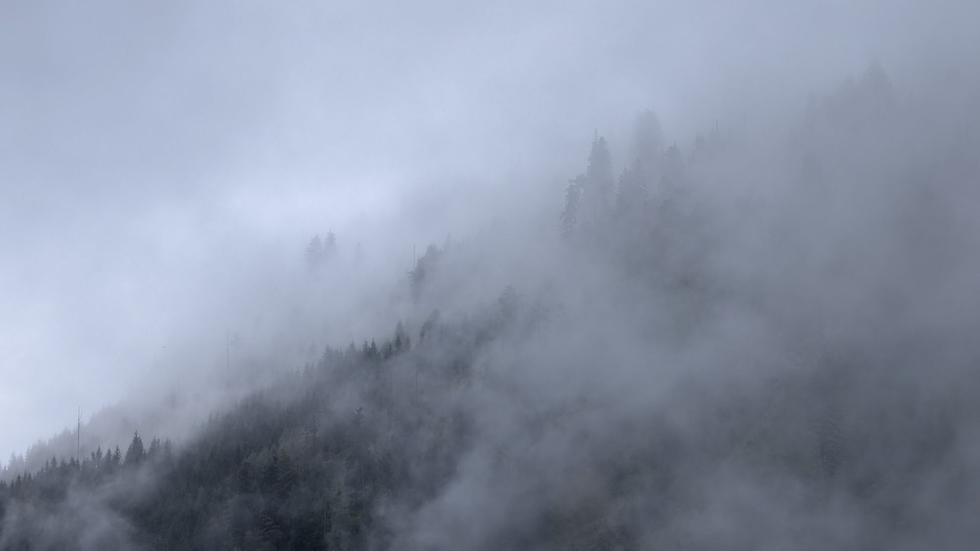
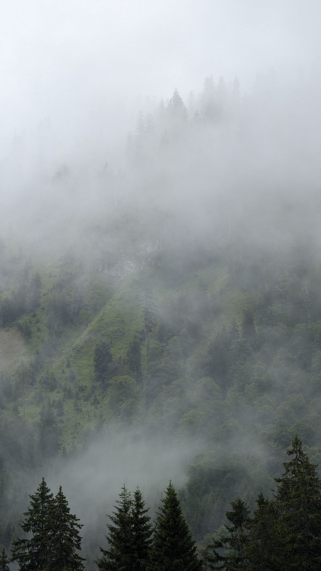
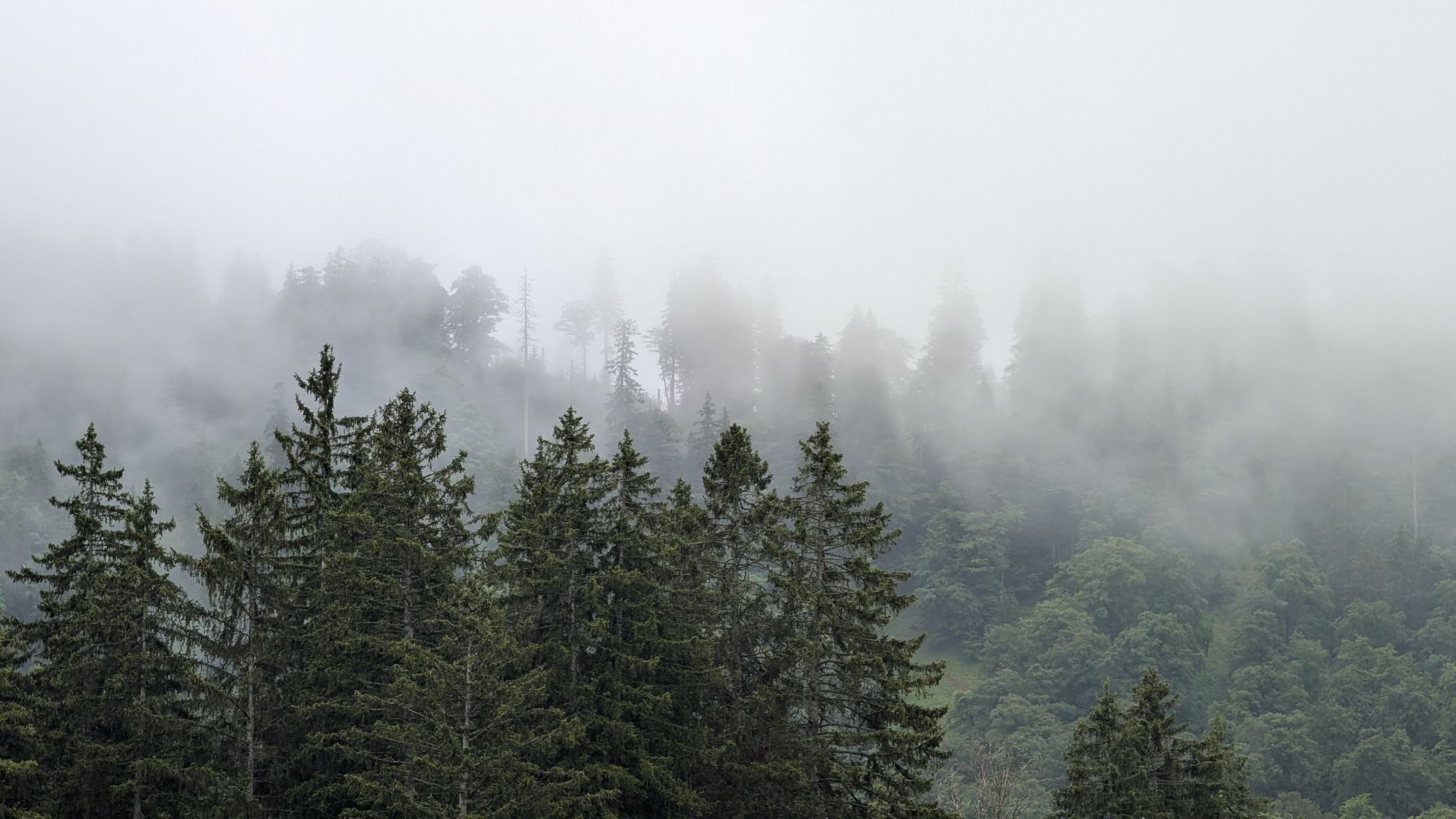
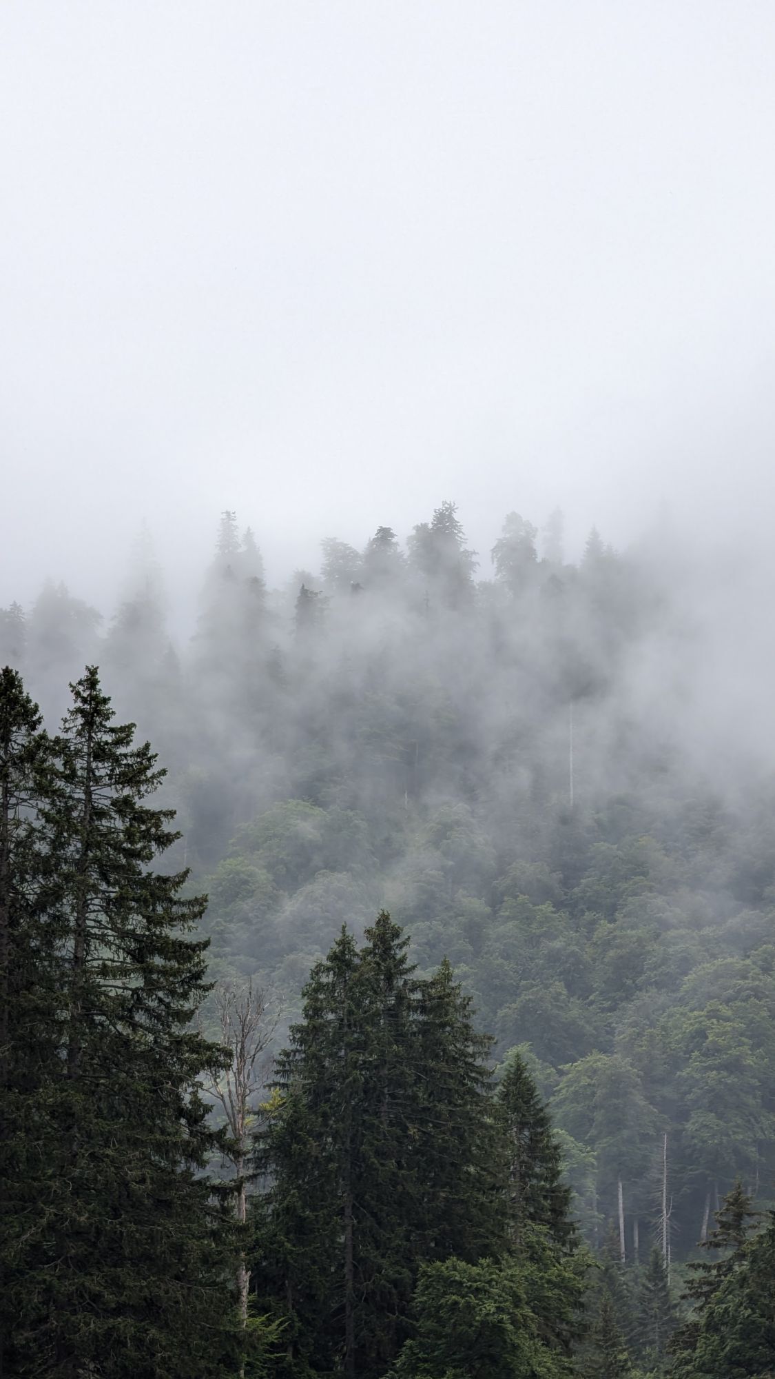
It's so green - no wonder in a national park! But hidden in the green are special features:...
Opis
Starting/End point:
Parking lot Scheiblingau in the valley of the Krumme Steyrling. Access from Molln (18 km).
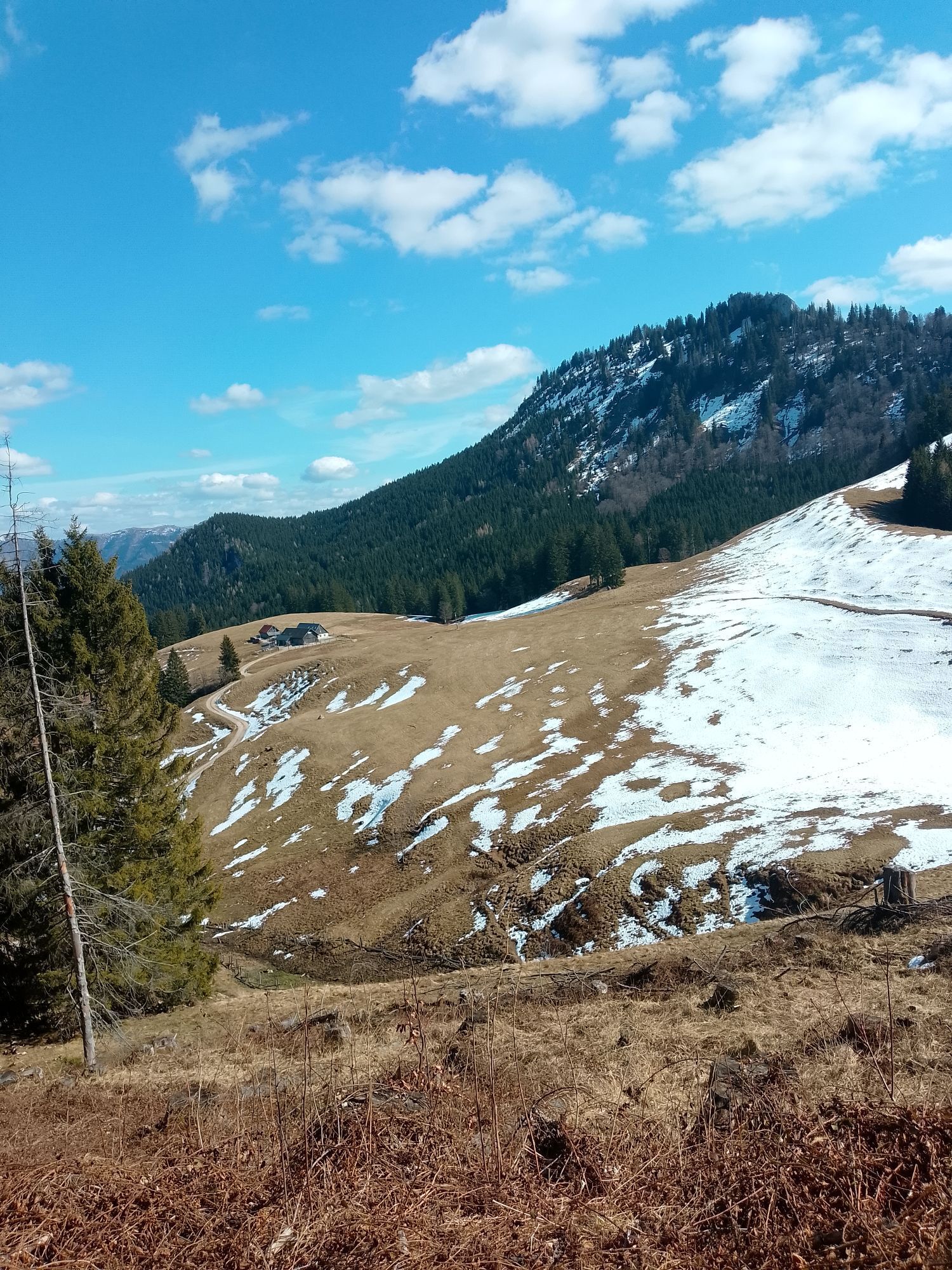
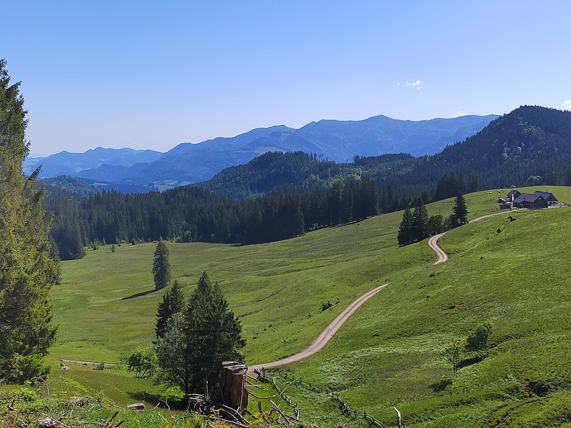
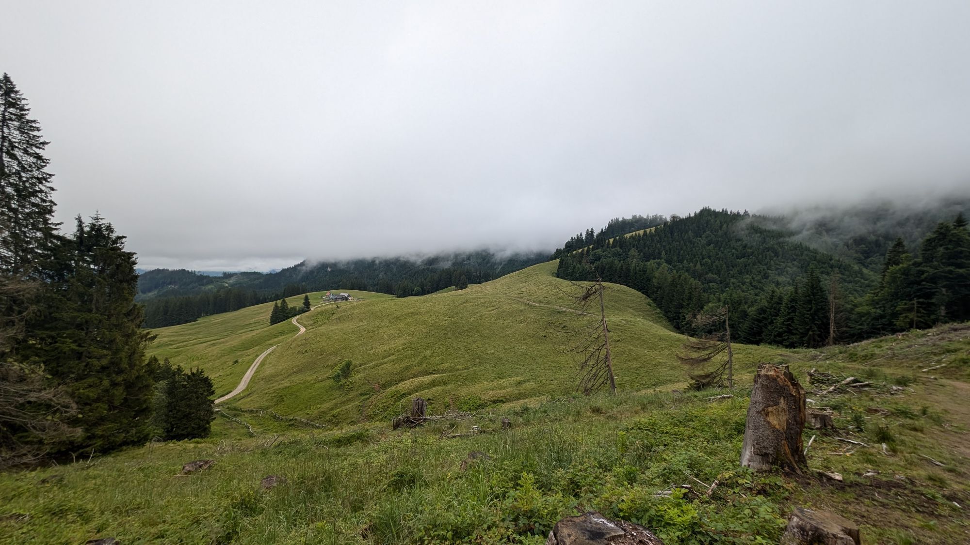
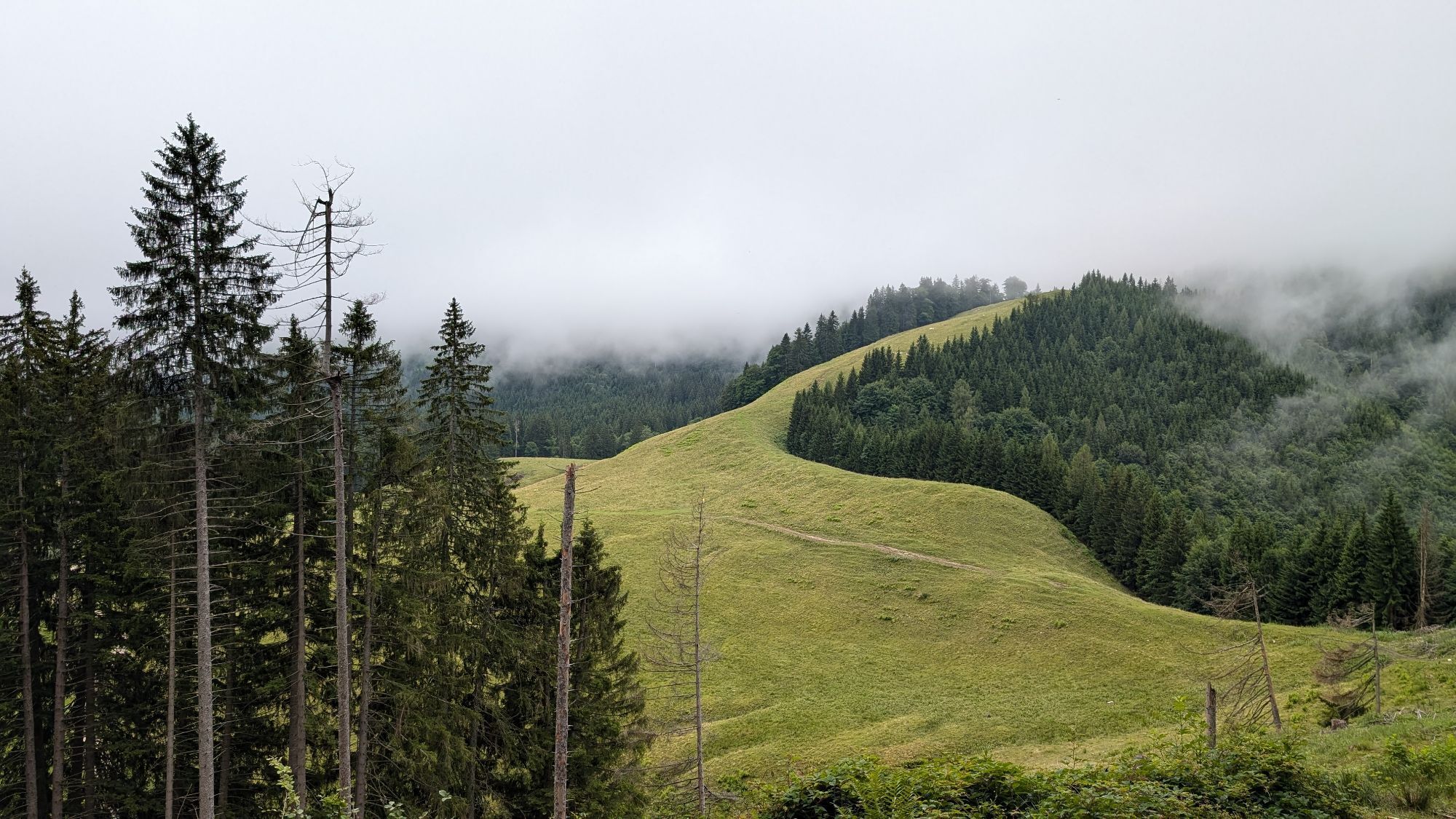
It's so green - no wonder in a national park! But hidden in the green are special features: mysterious springs, carnivorous plants, or holes where entire streams disappear... On the Ebenforstalm, an idyllic high pasture in the west of the Hintergebirge, all this becomes visible on an educational trail. The hiking pleasure already begins down at the Krumme Steyrling:
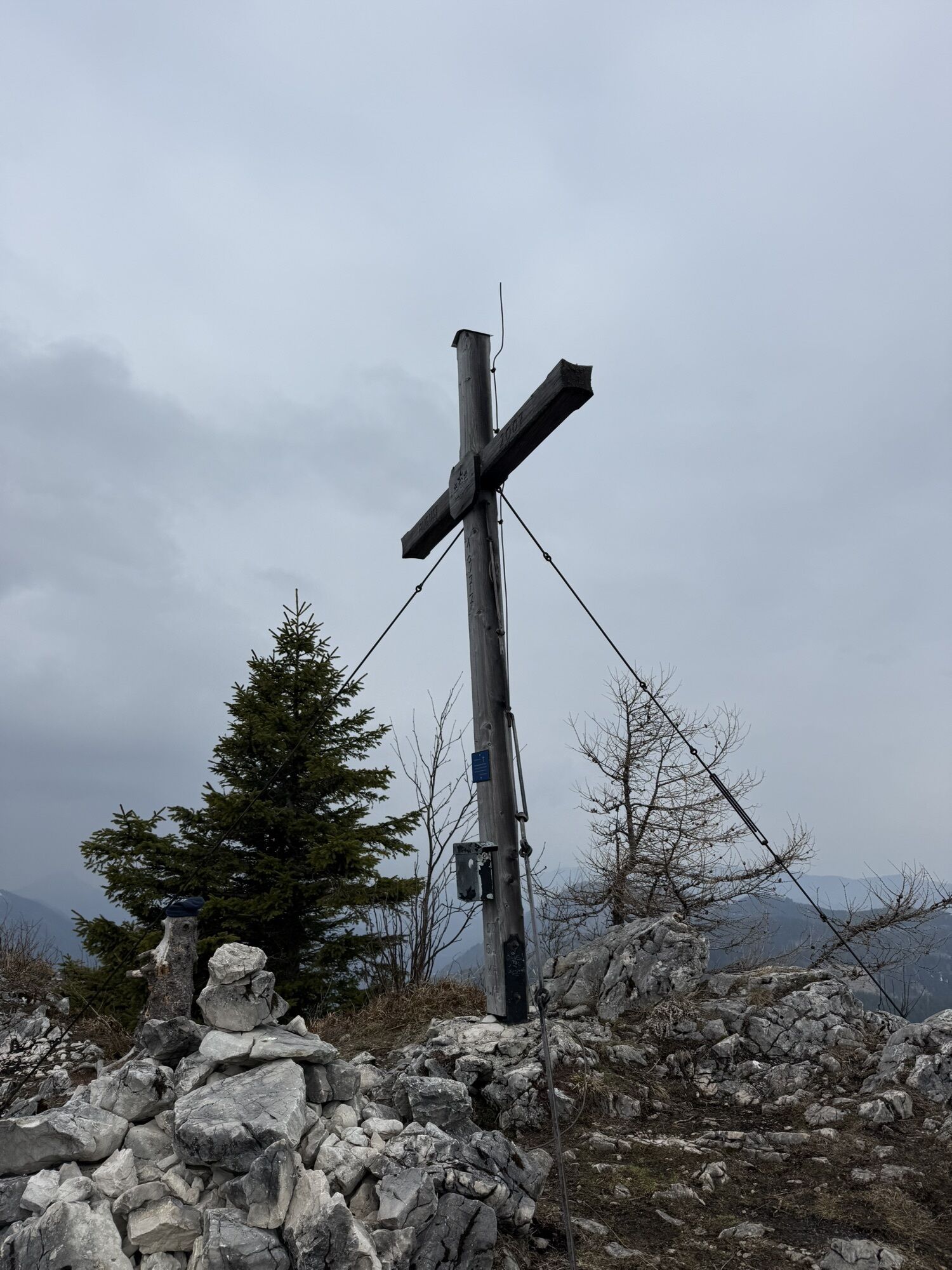
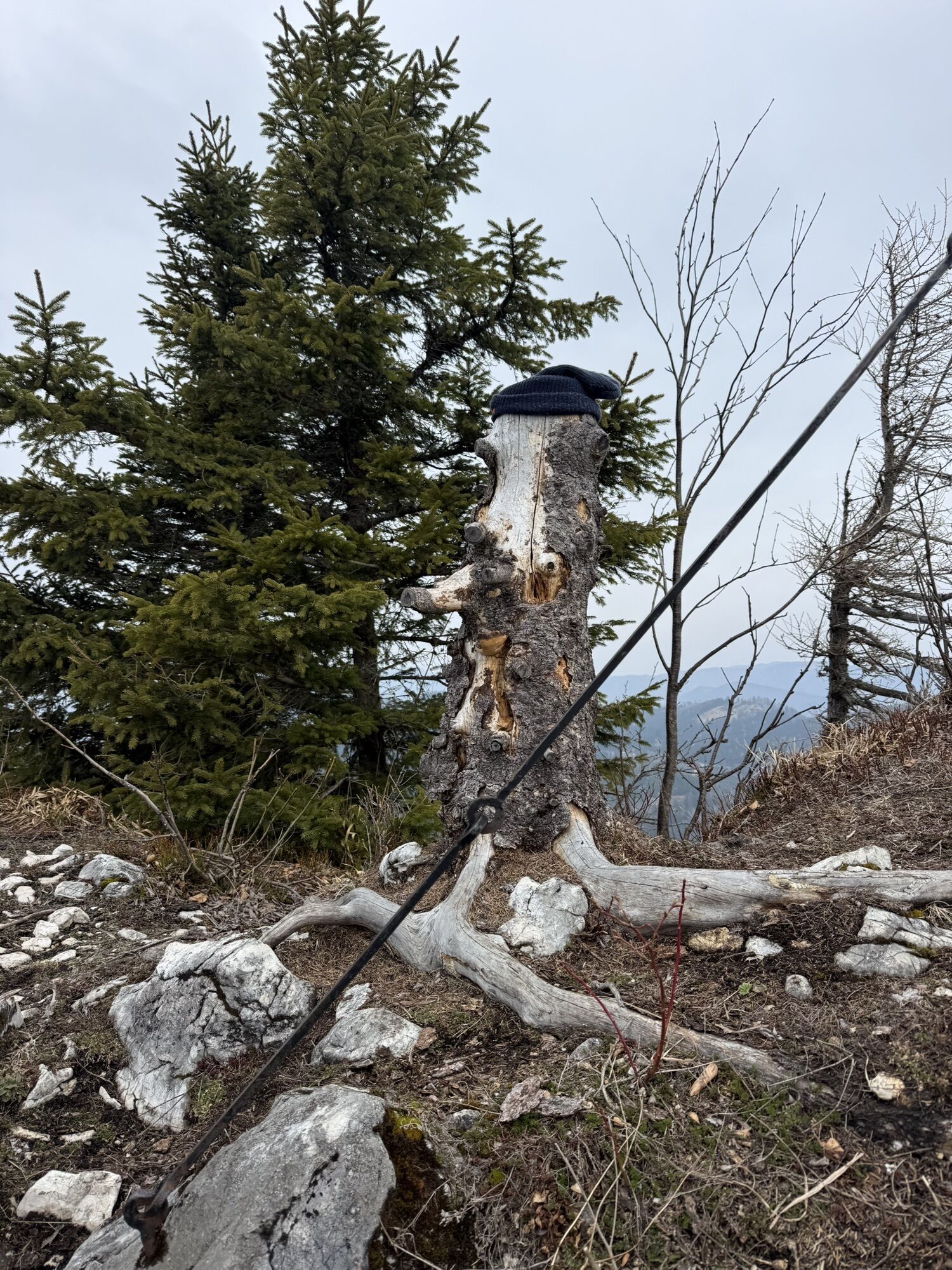
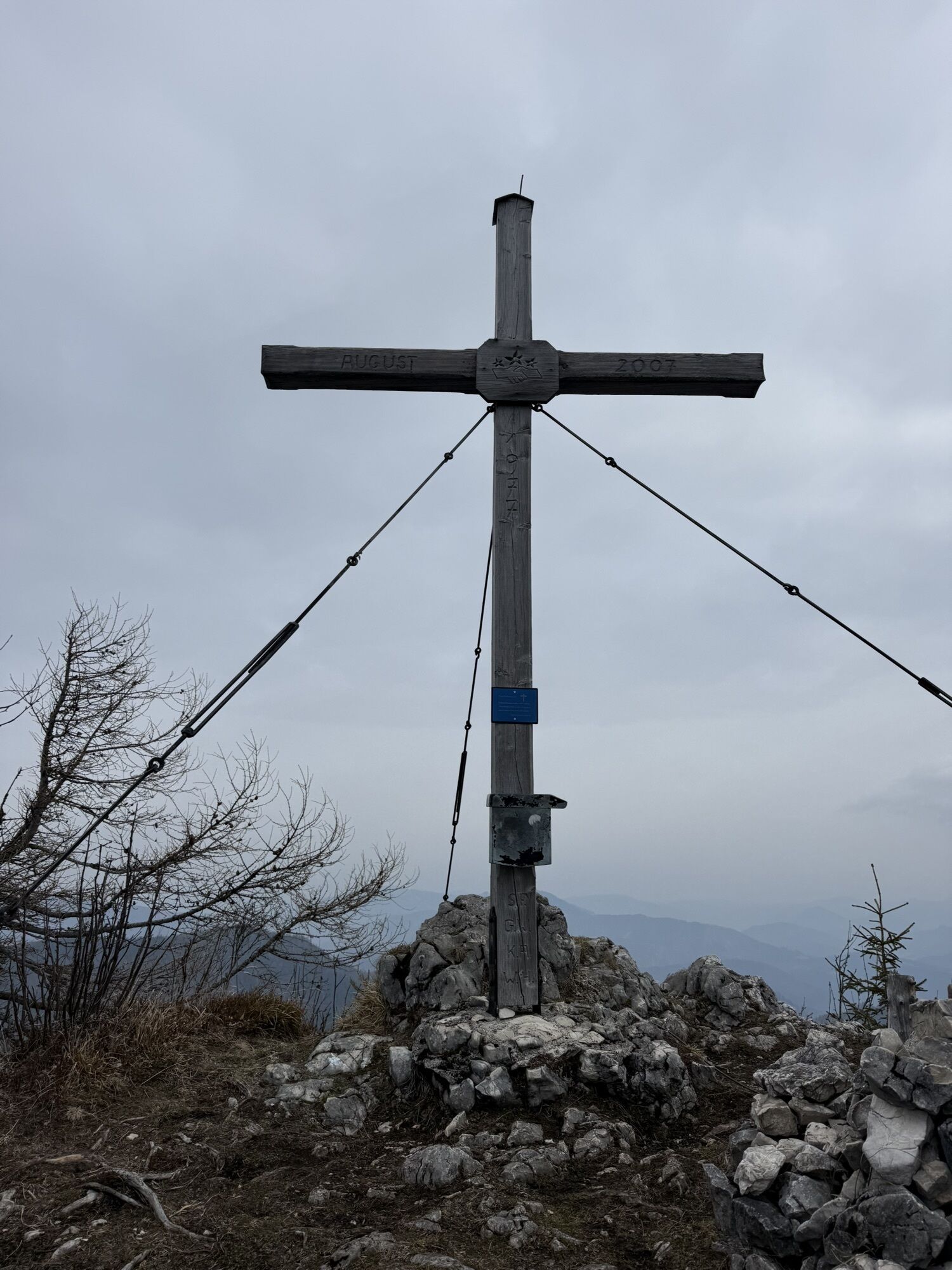
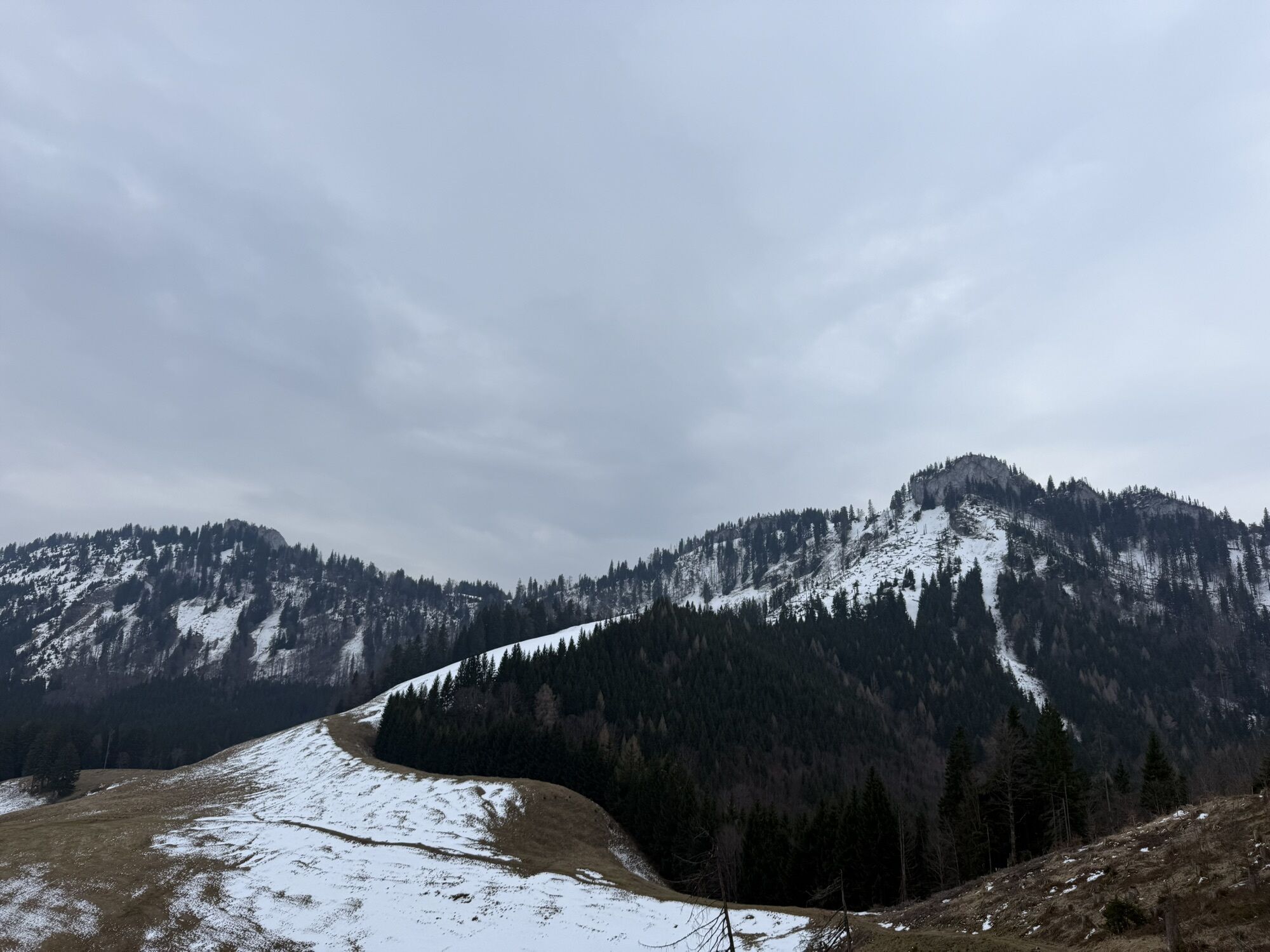
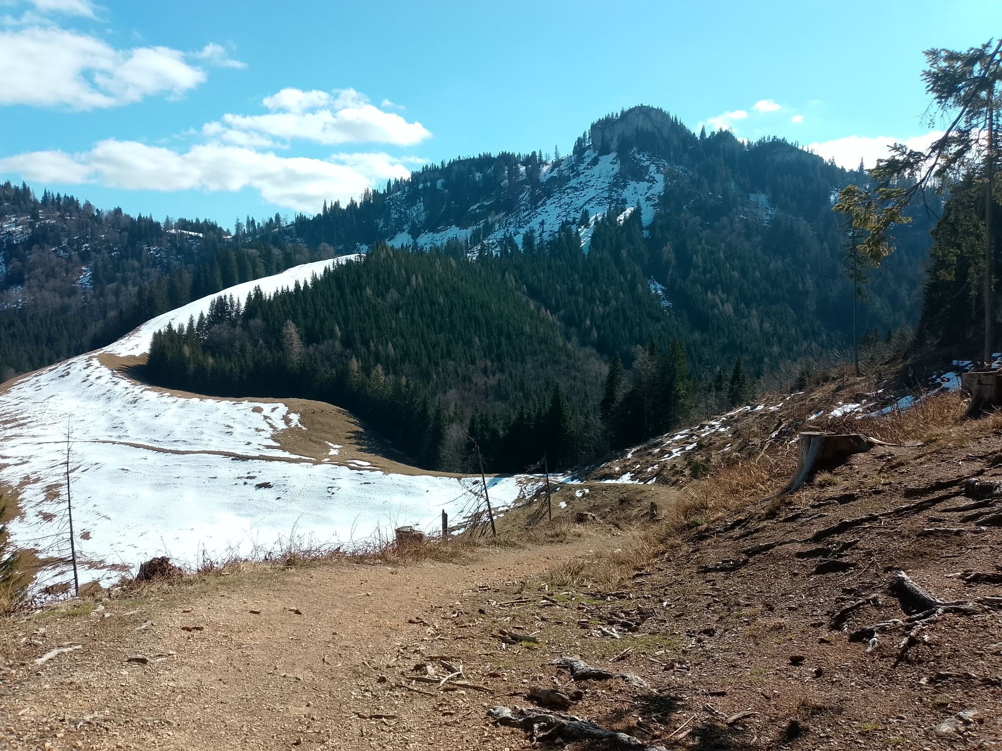
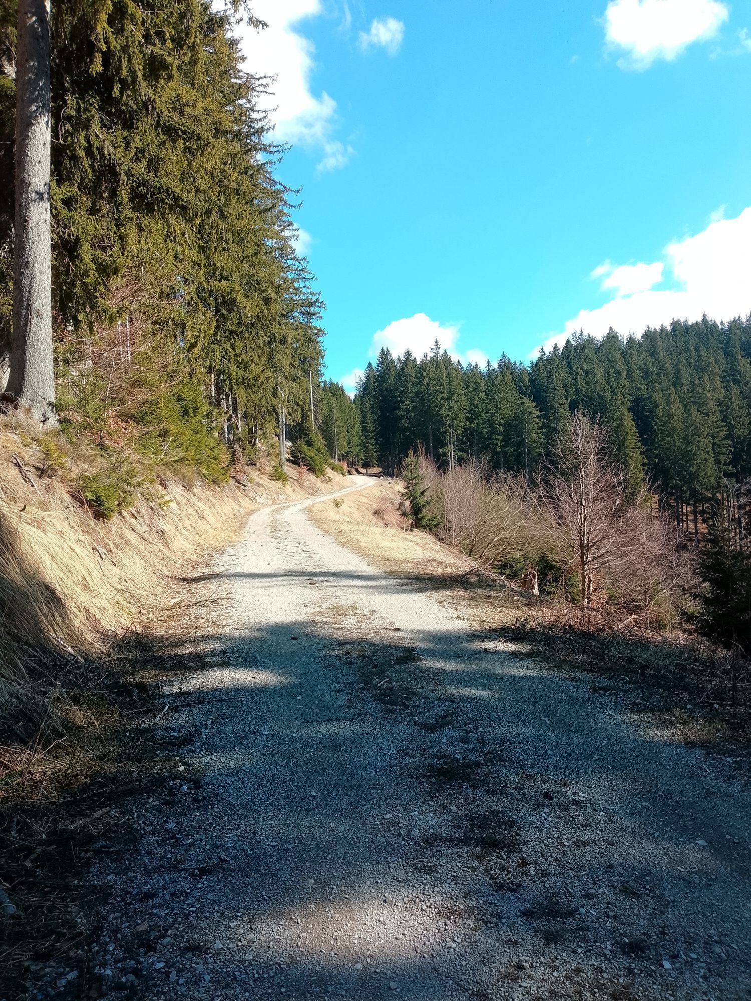
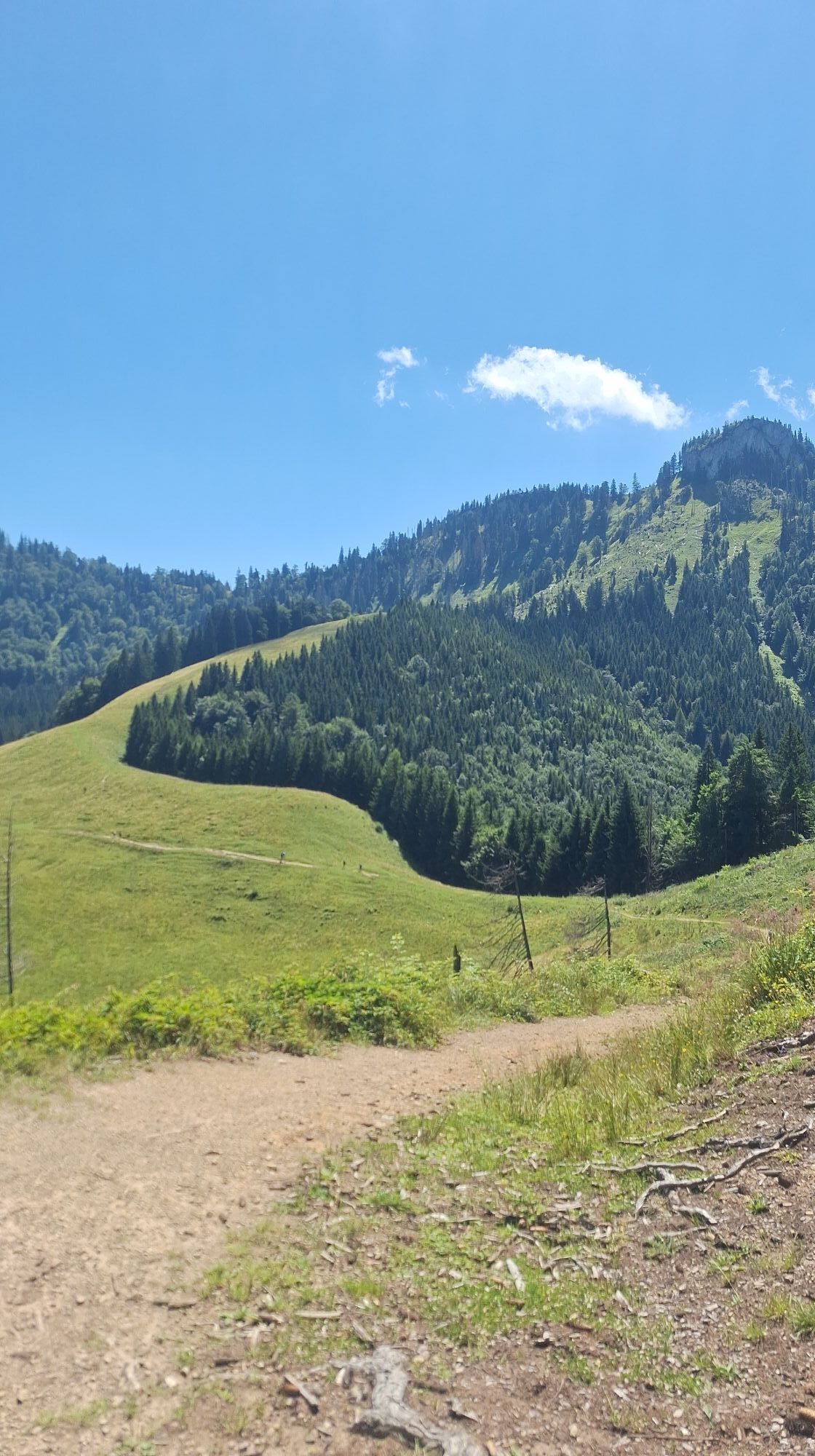
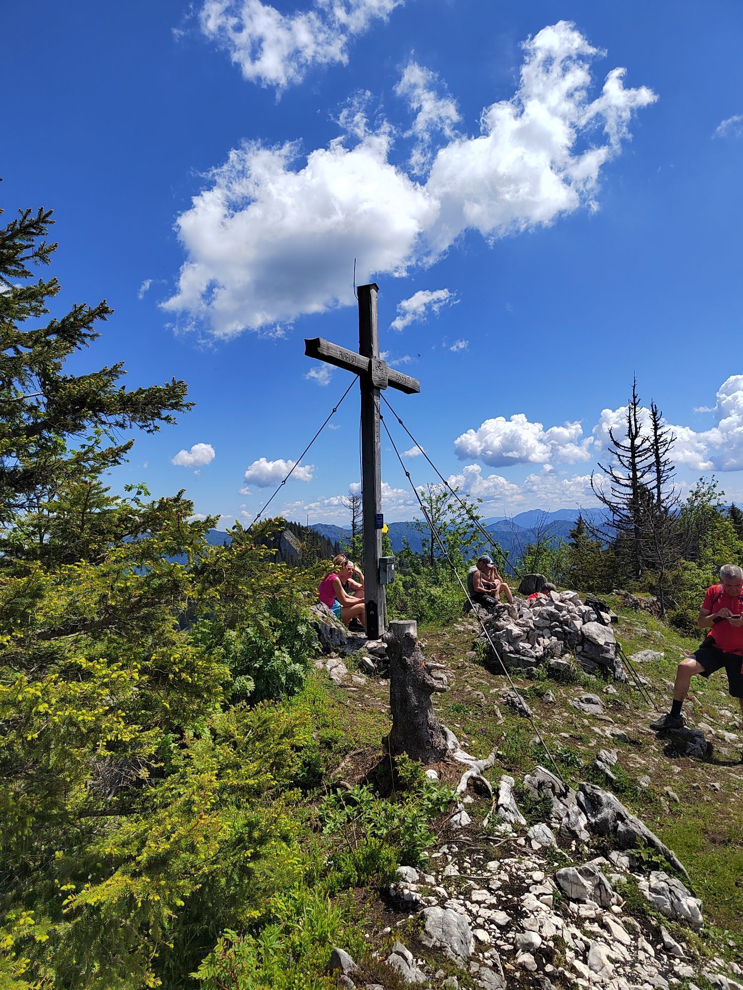
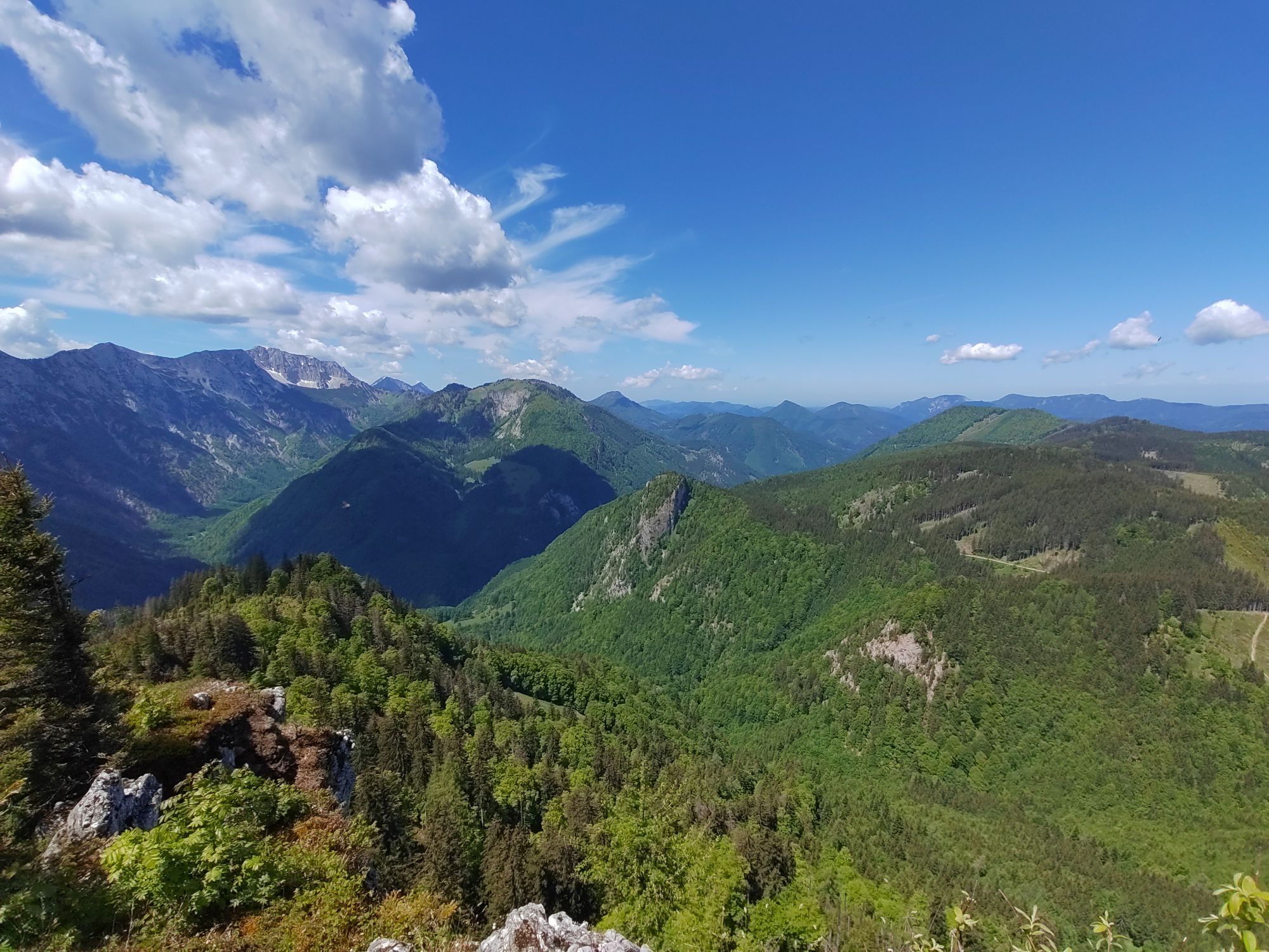
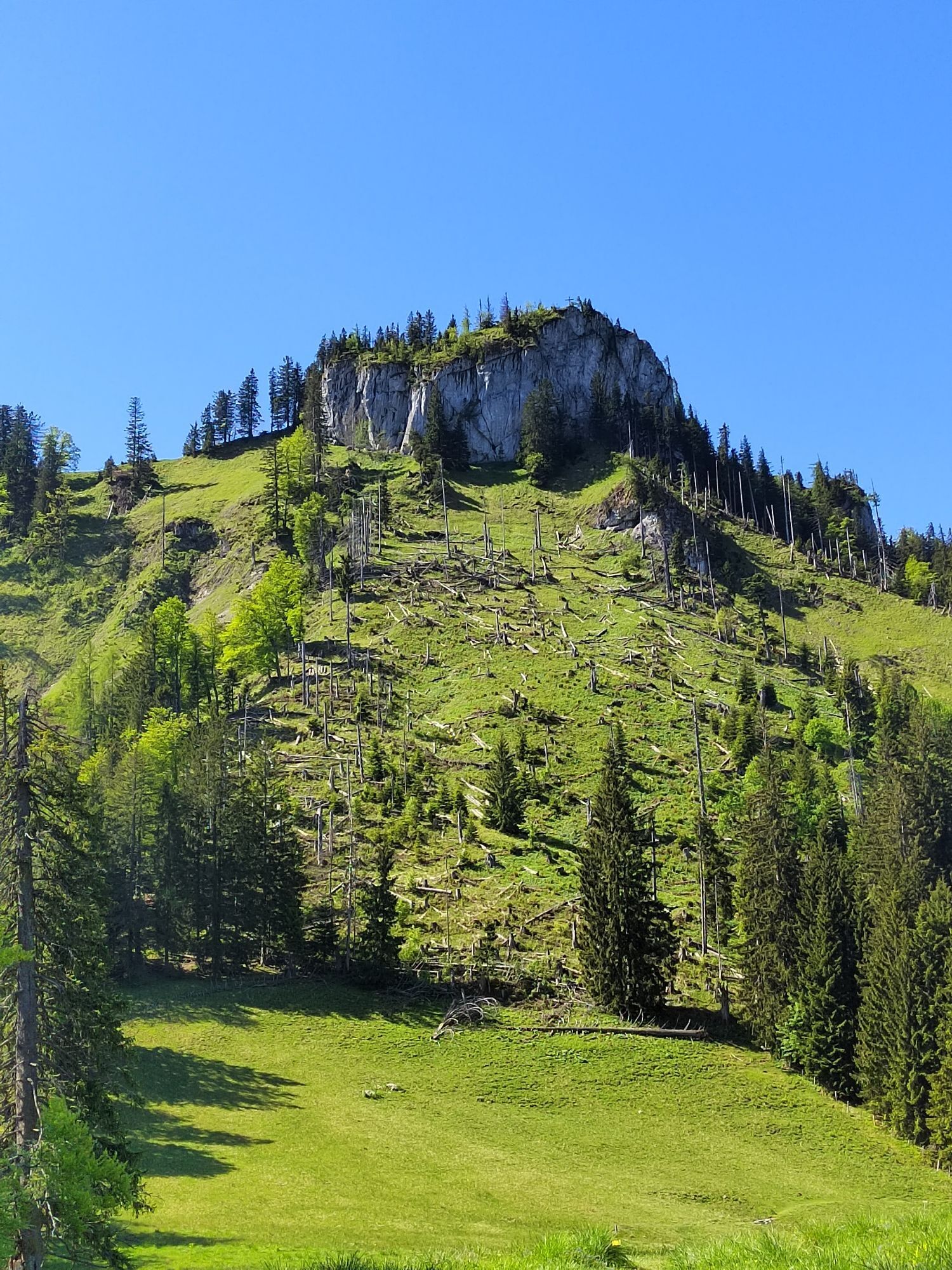
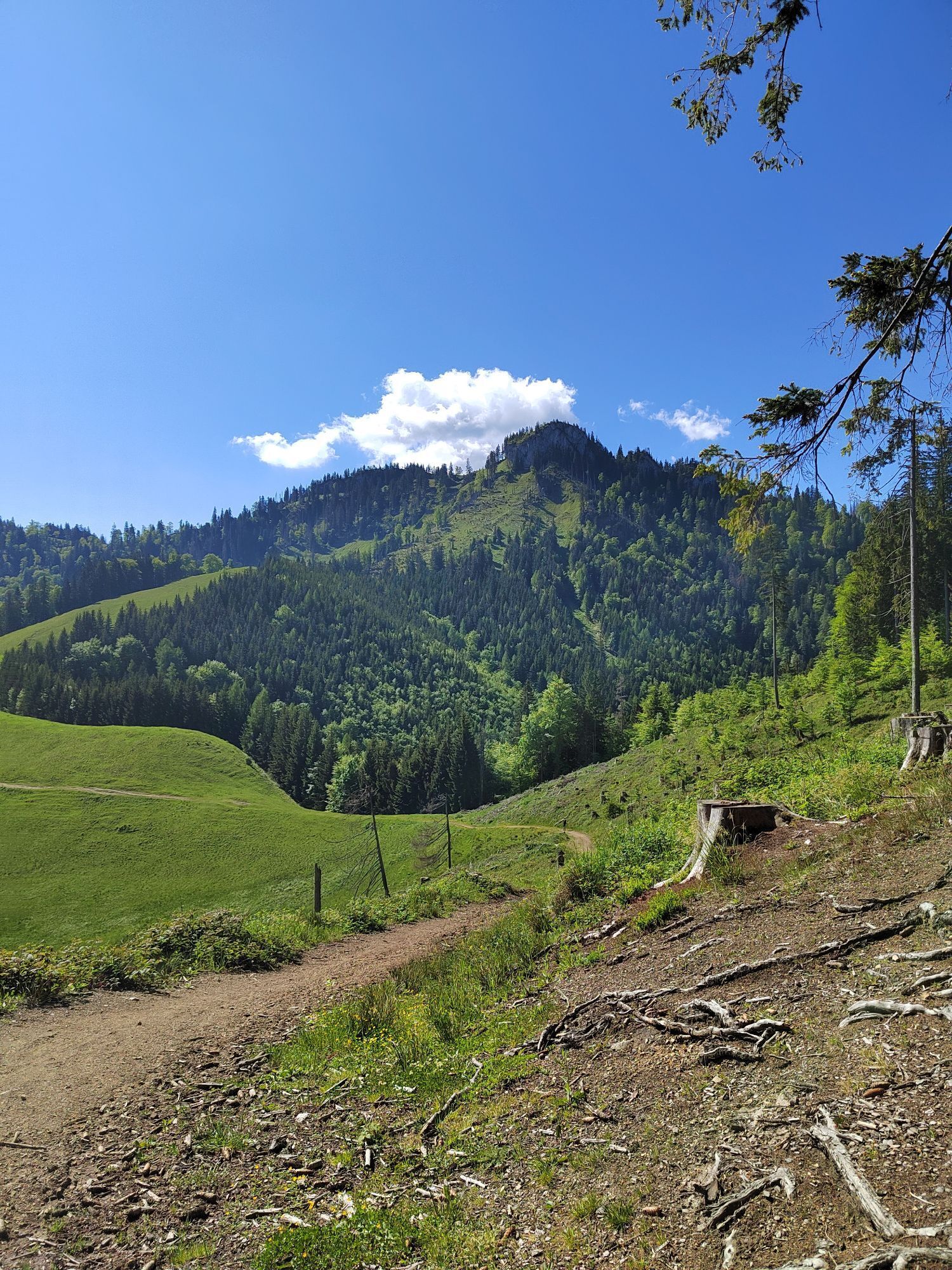
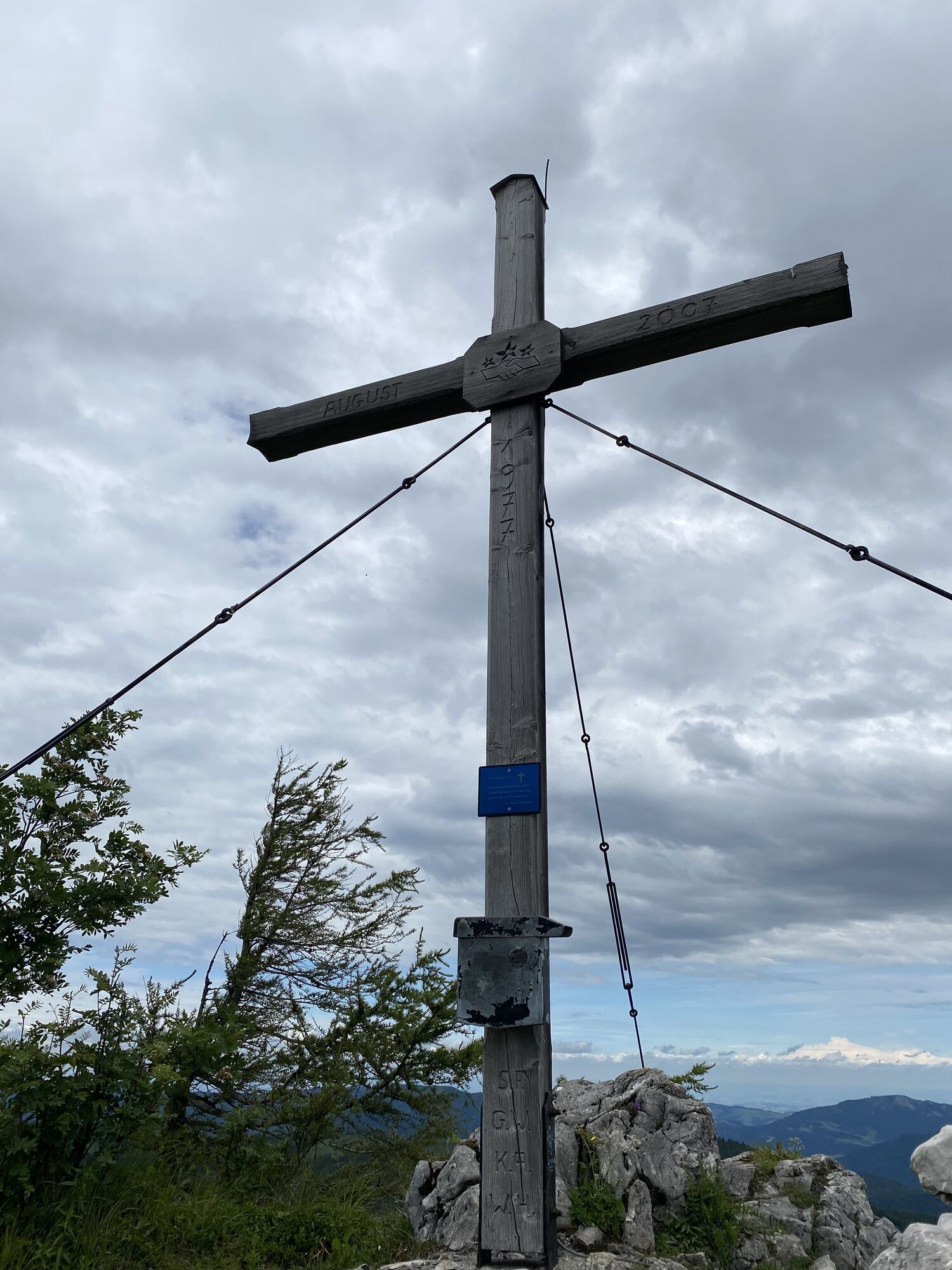
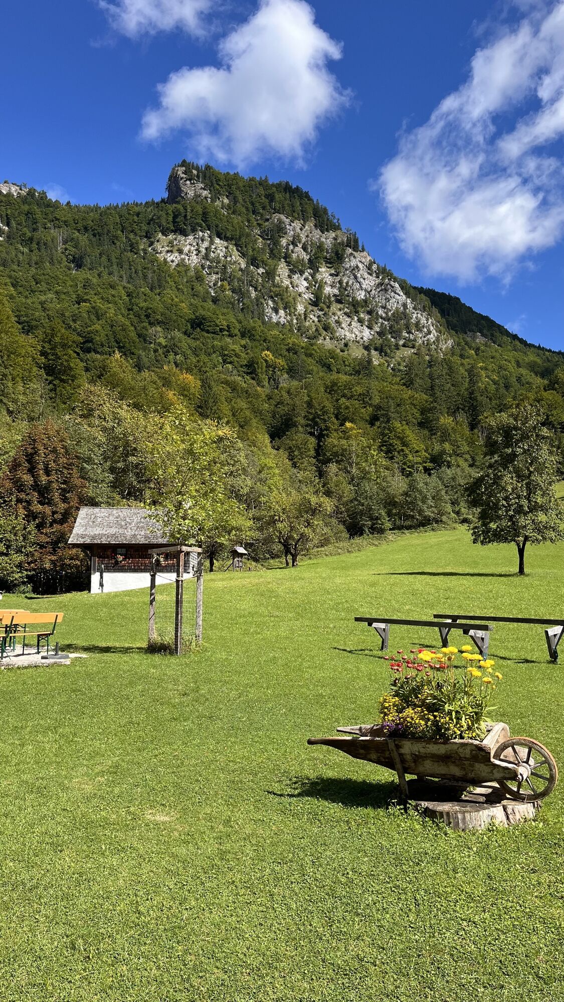
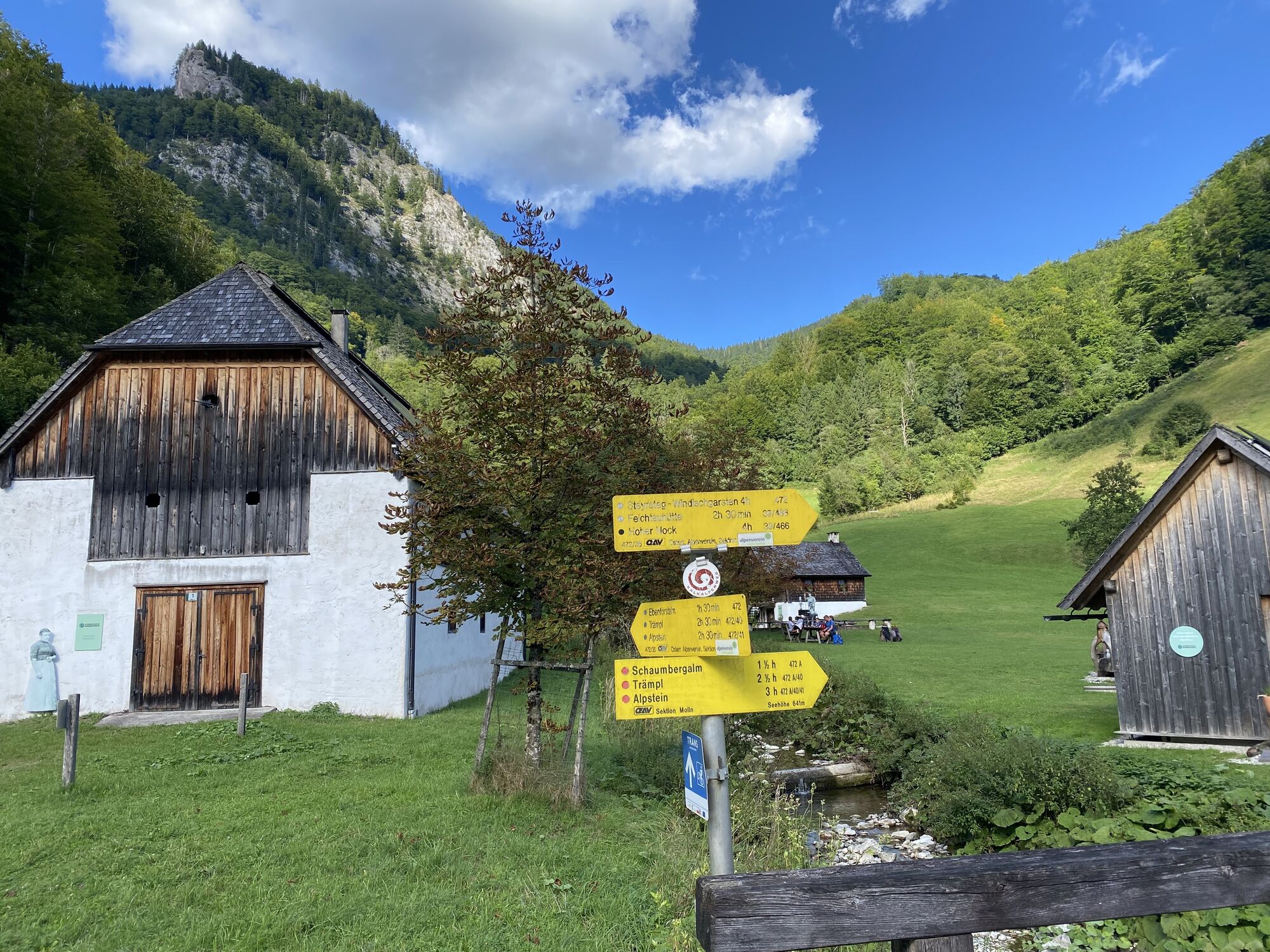
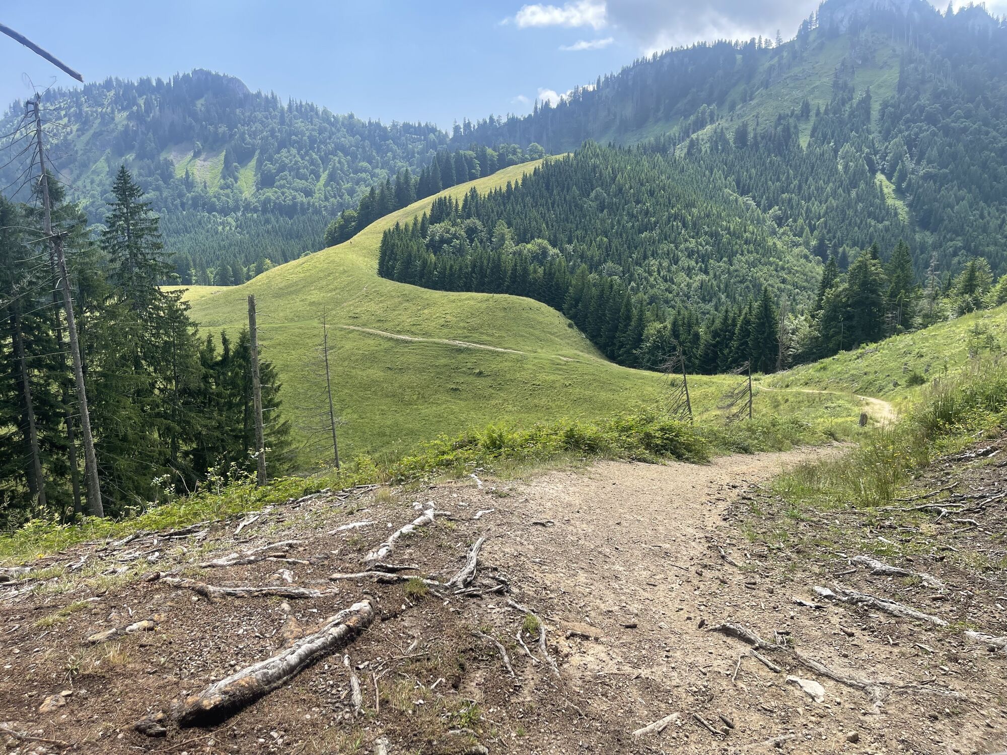
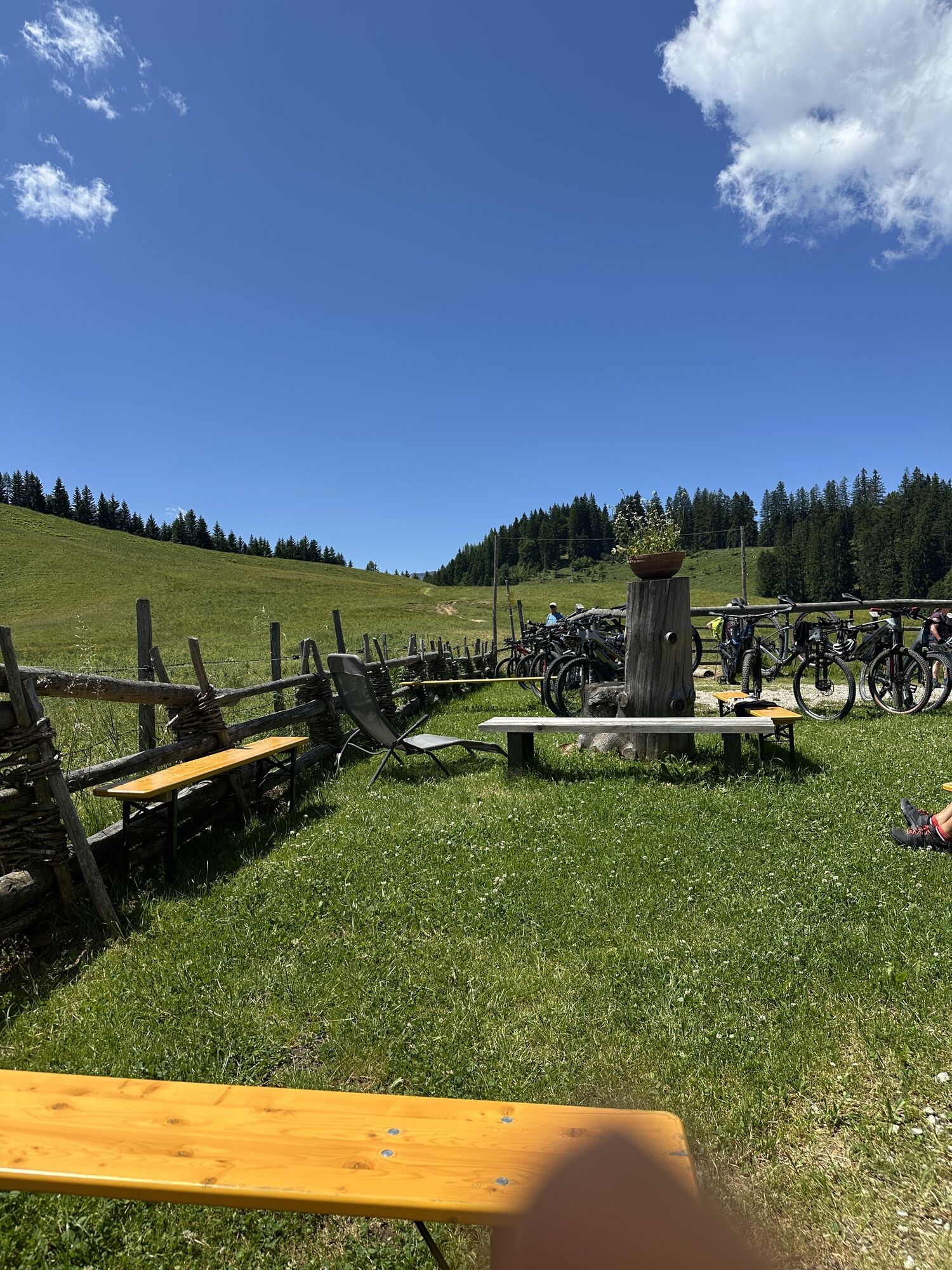
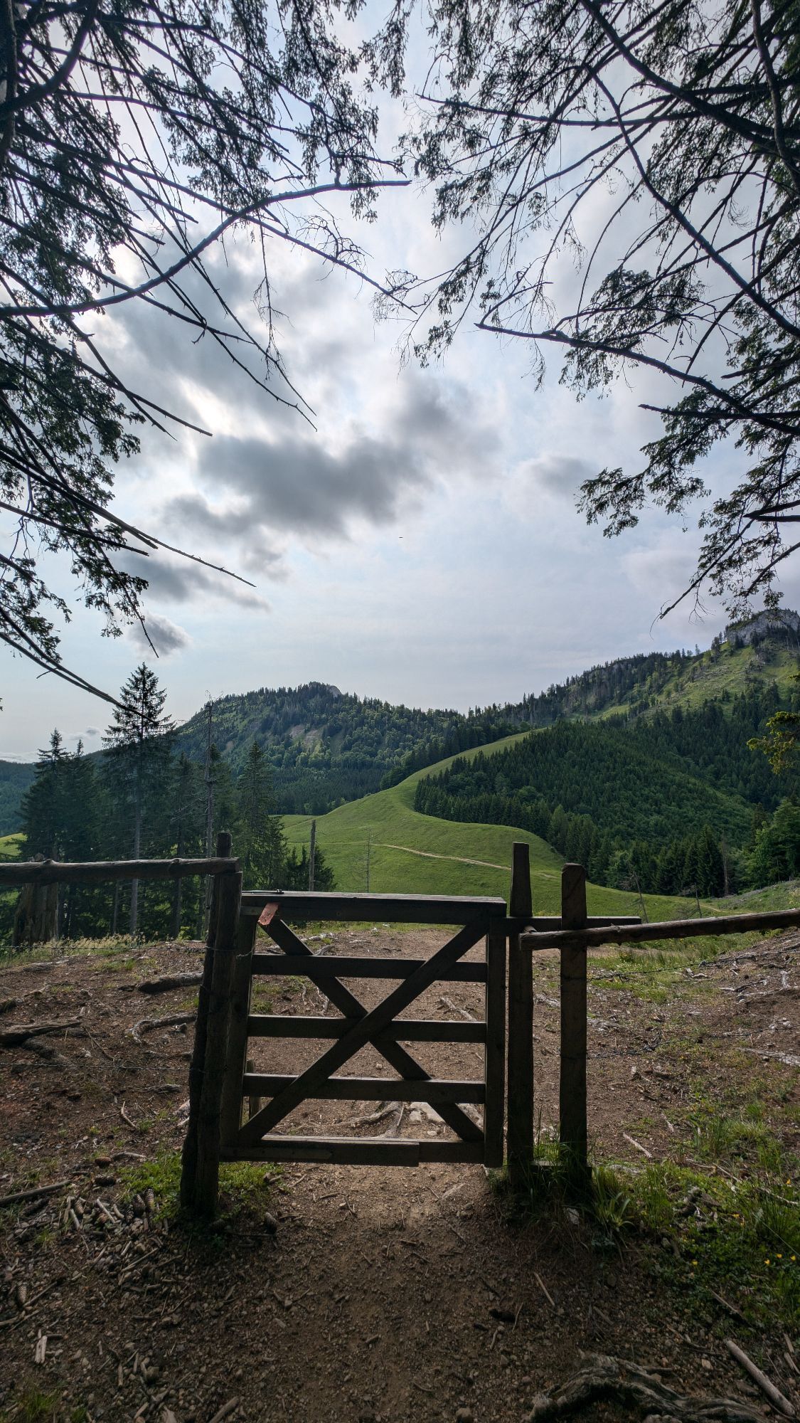
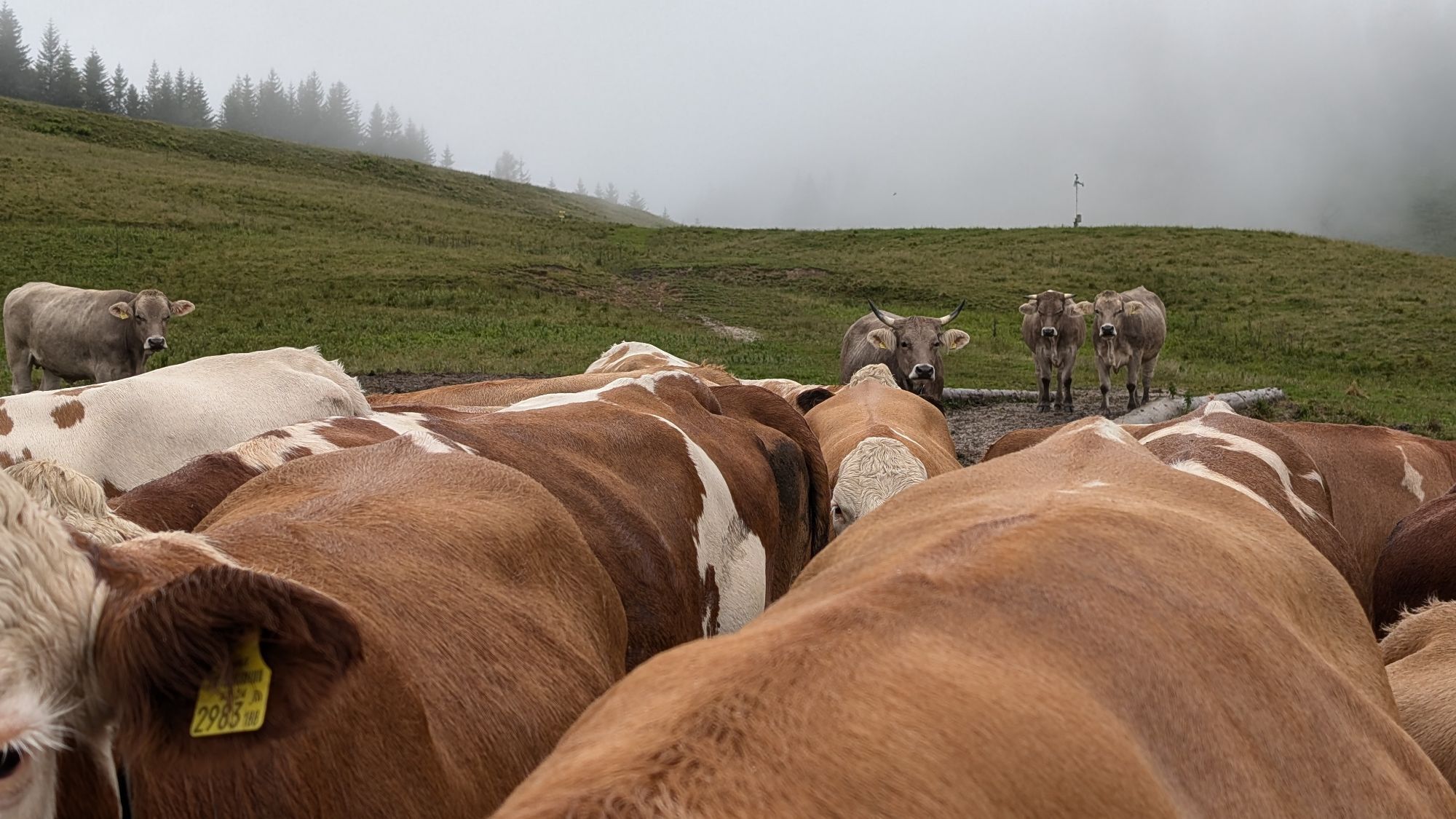
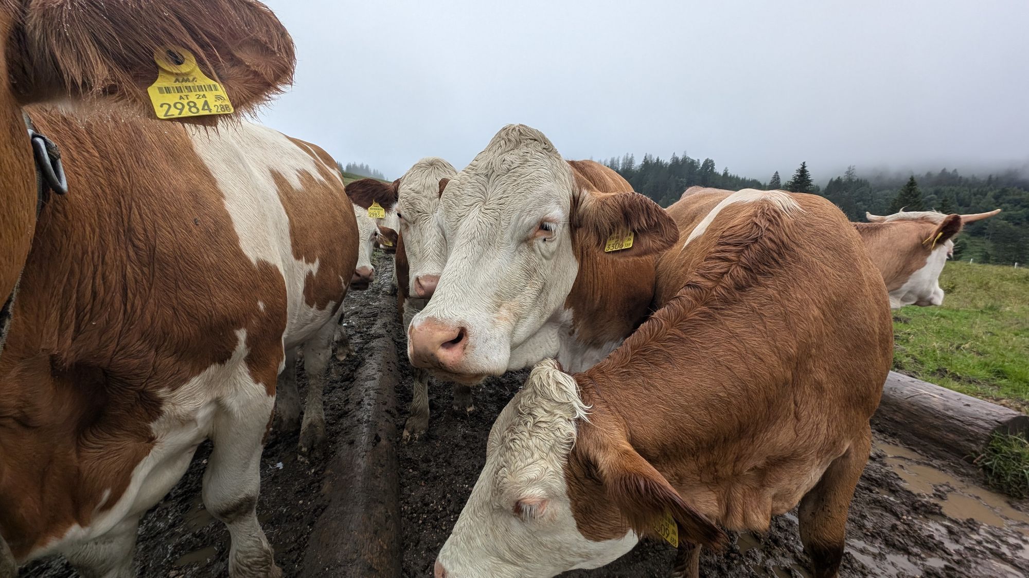
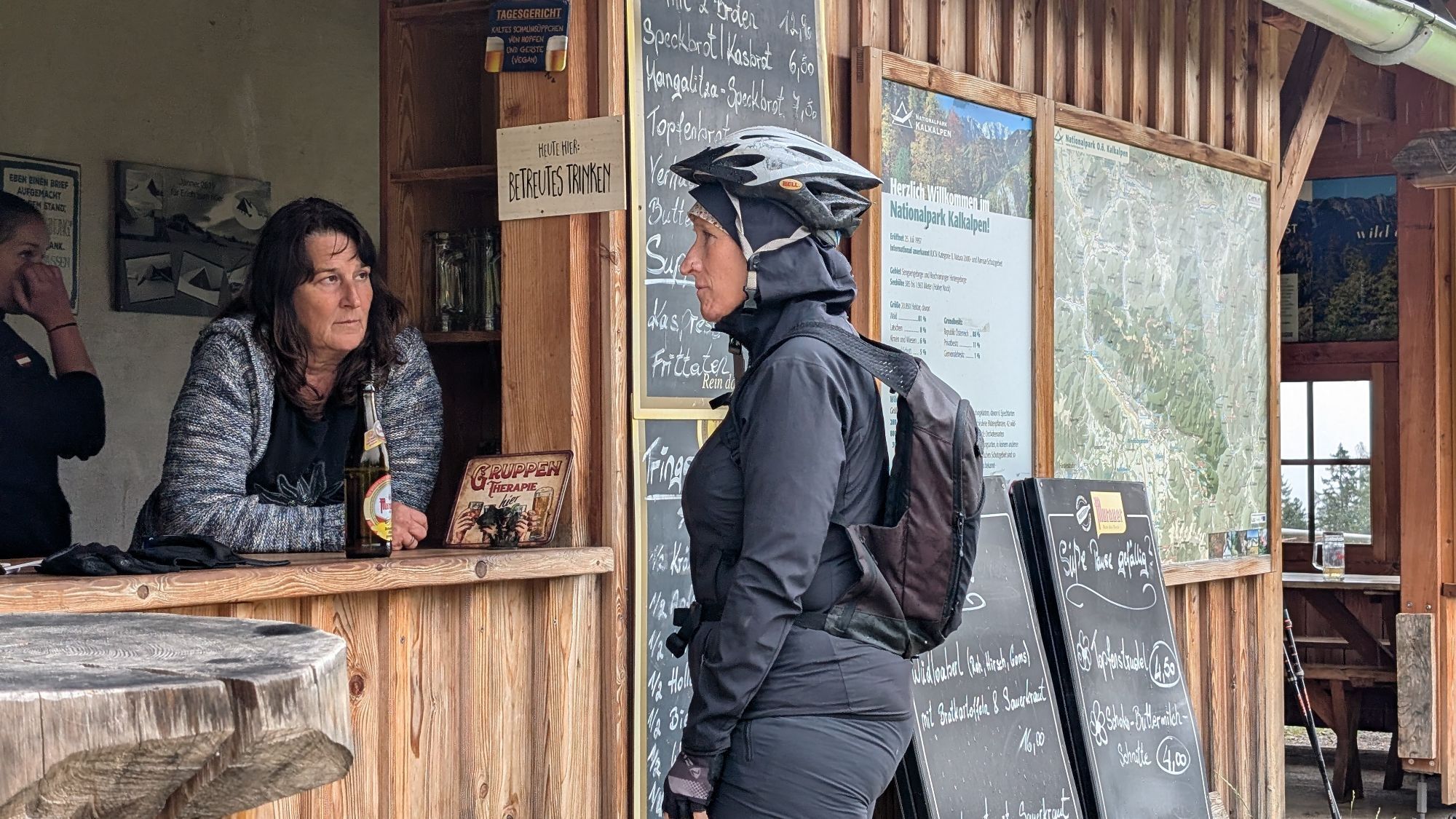
We walk on the gravel road past an old timber floating sluice into the tiny settlement of Bodinggraben. Next to the renovated Anna Chapel, down-to-earth delicacies attract in the historic hunter's house, which belonged to the nearby hunting lodge of the Counts Lamberg. Here we turn left and hike on path no. 472 through the Bodinggraben – the many eroded ponds of the stream were called Boding – up to the Ebenforstalm. Here, at the foot of Trämpl and Alpstein, the themed trail Wool Grass, Alpine Pasture, and Water Sinkholes begins. On the gently descending forest road, you soon learn interesting facts about the springs and the rock of the alpine pasture. From the Karst information board, turn right onto a path that partly runs on boardwalks to a water sinkhole. Across a beautiful wool grass meadow, you reach the Ebenforster Moor. Its up to 2 m deep peat moss cushions began to grow 7,800 years ago. We continue to the tree hotel, where many endangered animal species feel comfortable in the deadwood. Soon the alpine hut is reached again, and by now a hearty snack is definitely due. Strengthened this way, we briskly hike back down to the valley. Hikers with appropriate fitness will surely still add the Trämpl. The rocky summit is much easier to climb than it looks from below: from the saddle west of the alpine pasture, a good path leads south along the ridge into the forest slope and then left up to the summit cross.
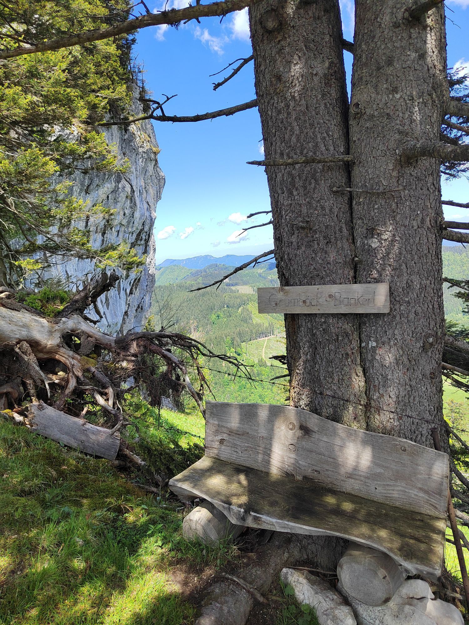
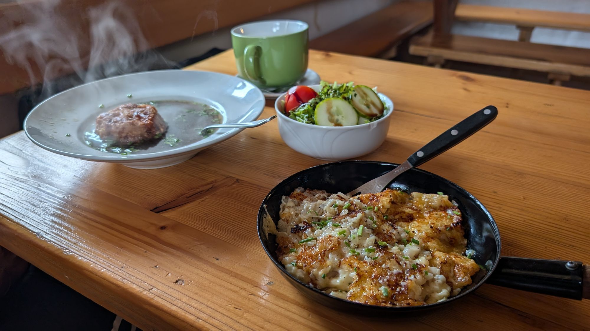
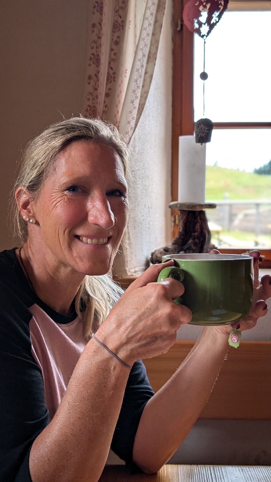
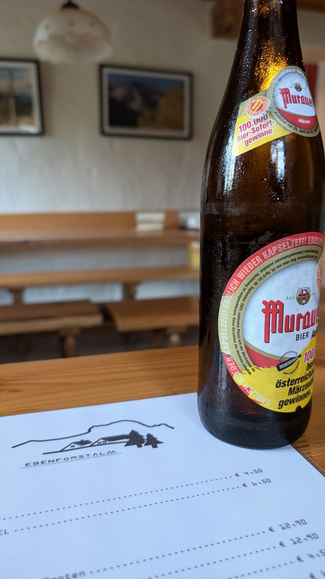
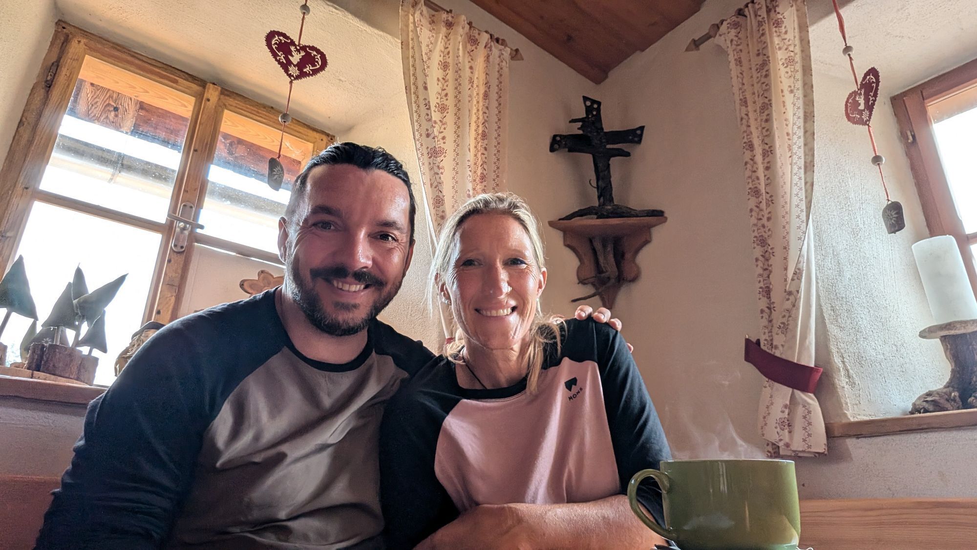
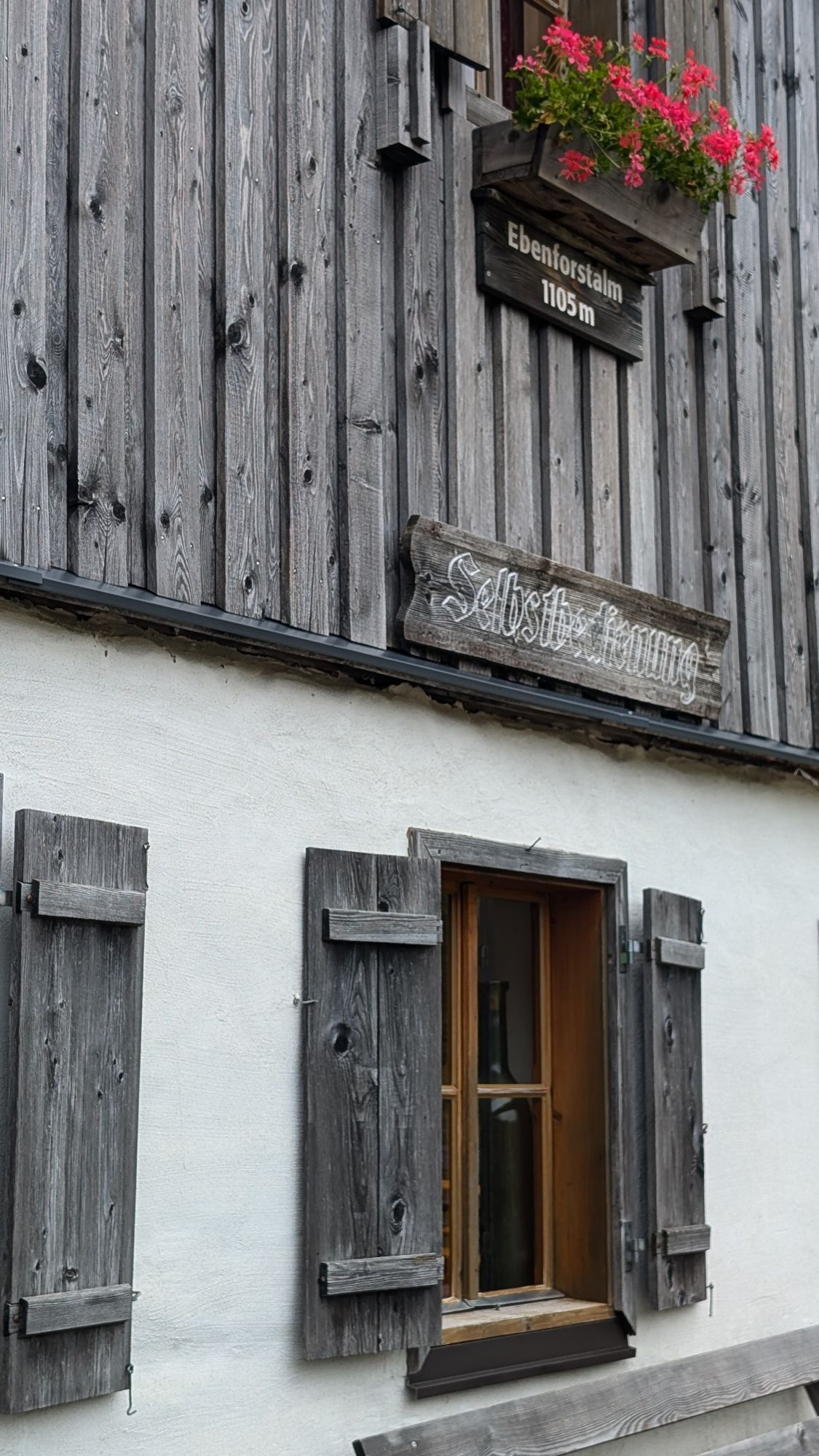
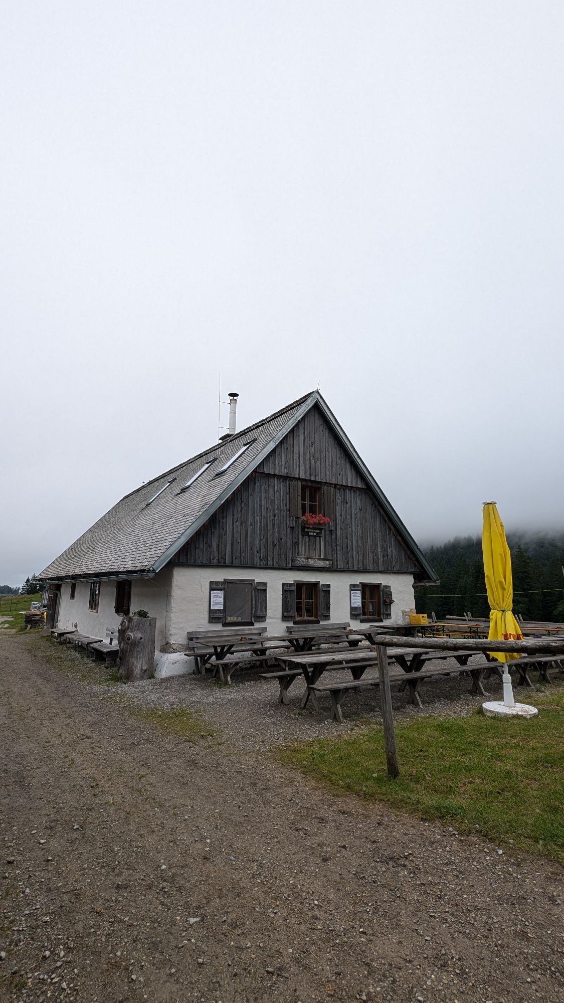
Resting possibilities:
Hunter's House in Bodinggraben, Ebenforstalm
Parking lot Scheiblingau in the valley of the Krumme Steyrling. Access from Molln (18 km).
It's so green - no wonder in a national park! But hidden in the green are special features: mysterious springs, carnivorous plants, or holes where entire streams disappear... On the Ebenforstalm, an idyllic high pasture in the west of the Hintergebirge, all this becomes visible on an educational trail. The hiking pleasure already begins down at the Krumme Steyrling:
We walk on the gravel road past an old timber floating sluice into the tiny settlement of Bodinggraben. Next to the renovated Anna Chapel, down-to-earth delicacies attract in the historic hunter's house, which belonged to the nearby hunting lodge of the Counts Lamberg. Here we turn left and hike on path no. 472 through the Bodinggraben – the many eroded ponds of the stream were called Boding – up to the Ebenforstalm. Here, at the foot of Trämpl and Alpstein, the themed trail Wool Grass, Alpine Pasture, and Water Sinkholes begins. On the gently descending forest road, you soon learn interesting facts about the springs and the rock of the alpine pasture. From the Karst information board, turn right onto a path that partly runs on boardwalks to a water sinkhole. Across a beautiful wool grass meadow, you reach the Ebenforster Moor. Its up to 2 m deep peat moss cushions began to grow 7,800 years ago. We continue to the tree hotel, where many endangered animal species feel comfortable in the deadwood. Soon the alpine hut is reached again, and by now a hearty snack is definitely due. Strengthened this way, we briskly hike back down to the valley. Hikers with appropriate fitness will surely still add the Trämpl. The rocky summit is much easier to climb than it looks from below: from the saddle west of the alpine pasture, a good path leads south along the ridge into the forest slope and then left up to the summit cross.
Resting possibilities:
Hunter's House in Bodinggraben, Ebenforstalm
Trasa
Jagahäusl
(630 m)
Reštaurácia
1,7 km
Ebenforstalm
(1 106 m)
Úkryt
6,9 km
Trämpl
(1 424 m)
Summit
8,9 km
Trasa
Ebenforstalm - Trämpl
stredná
Turistika
8,92
km
Jagahäusl
(630 m)
Reštaurácia
1,7 km
Ebenforstalm
(1 106 m)
Úkryt
6,9 km
Trämpl
(1 424 m)
Summit
8,9 km
Autor
Poskytuje Alpenland Tourismus GmbH
Prehliadku Ebenforstalm - Trämpl zabezpečuje outdooractive.com.

Naposledy sledované
pred jedným dňom
Oceňovanie
1 Komentár
KLaus-Peter Grassegger
07. aug. 2025
Rundweg Scheiblingau - Ebenforst Alm - Schaumberg Alm - Scheiblingau.
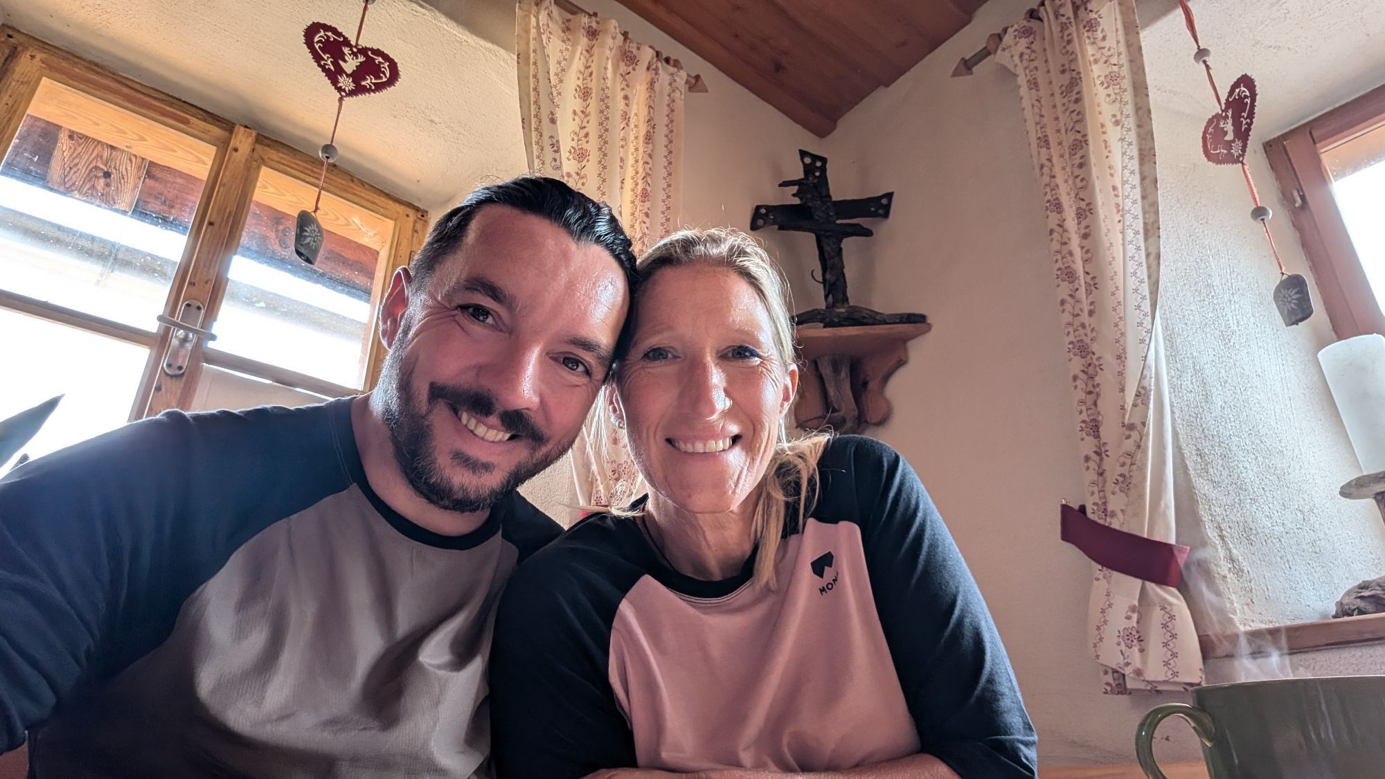
Von der Scheiblingau zur Ebenforst Alm, dann hinüber zur Schaumber Alm und wieder zurück zum Ausgangspunkt. Eine tolle Rundwanderung. Für den geübten Wanderer kein Problem, für mich als "Freizeit-Sportler" mit Konditionsschwächen, hin und wieder durchaus eine Herausforderung. Habe aber trotzdem geschafft. Dank dem guten Essen bei den Hüttenwirten.


Obľúbené výlety v okolí
-
4,9
Ennser Hut - Almkogel (from Bamacher car park)
strednáTuristika 3,53 km -
4,2
Rund um den Gleinkersee
Turistika 1,70 km -
4,6
Schoberstein (from Molln)
strednáTuristika 3,63 km -
4,8
Steinerner Jäger (1185m) und Schieferstein (1206m) ab Parkplatz Hochhabichler
strednáTuristika 4,46 km -
3,9
Wasserklotz
strednáTuristika 5,81 km -
4,7
Kleiner Pyhrgas
strednáTuristika 9,64 km -
4,7
GROSSRAMING Bamacher, Burgspitz, Almkogel, Ennshütte 20240730
strednáTuristika 10 km -
4,6
Hoher Nock von Rettenbach Rettenbach, Windischgarsten,
strednáTuristika 11,5 km -
4,6
Pfaffenmauer - Schoberstein - Gipfel der Lust Gasthof Klausriegler, Oberösterreich/Österreich
strednáTuristika 9,72 km -
4,5
Ternberg -Schoberstein
strednáTuristika 6,60 km
Turistika a stopovanie

Viac ako 550.000 návrhov výletov, podrobné mapy a intuitívny plánovač trás robia z aplikácie povinnú výbavu pre všetkých nadšencov prírody.

Nenechajte si ujsť ponuky a inšpiráciu na ďalšiu dovolenku
Prihlásiť sa k odberu noviniek
Chyba
Vyskytla sa chyba. Prosím, skúste to znova.
Ďakujeme za vašu registráciu
Vaša e-mailová adresa bol pridaný do poštového zoznamu.
Zájazdy po celej Európe
Rakúsko
Švajčiarsko
Nemecko
Taliansko
Slovinsko
Francúzsko
Holandsko
Belgicko
Poľsko
Lichtenštajnsko
Česko
Slovensko
španielsko
Hrvaška
Bosna a Hercegovina
Luxembursko
Andorra
Portugalsko
Island
Spojené kráľovstvo
Írsko
Grécko
Albánsko
Severné Macedónsko
Malta
Nórsko
Čierna Hora
Moldavsko
Kosovo
Maďarsko
San Maríno
Rumunsko
Estónsko
Lotyšsko
Bielorusko
Cyprus
Litva
Srbsko
Bulharsko
Monako
Dánsko
Švédsko
Fínsko