


Mountain route to the Kremsmauer

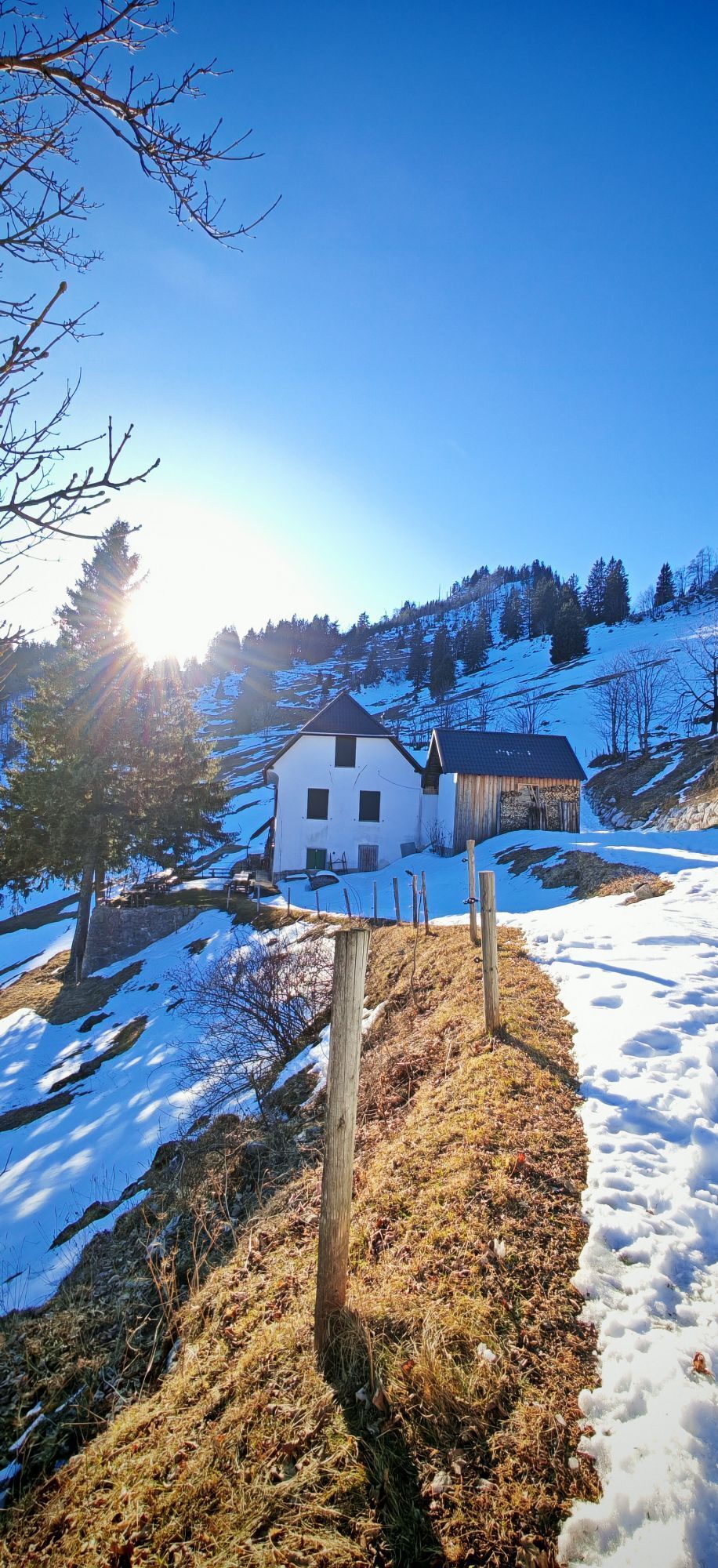
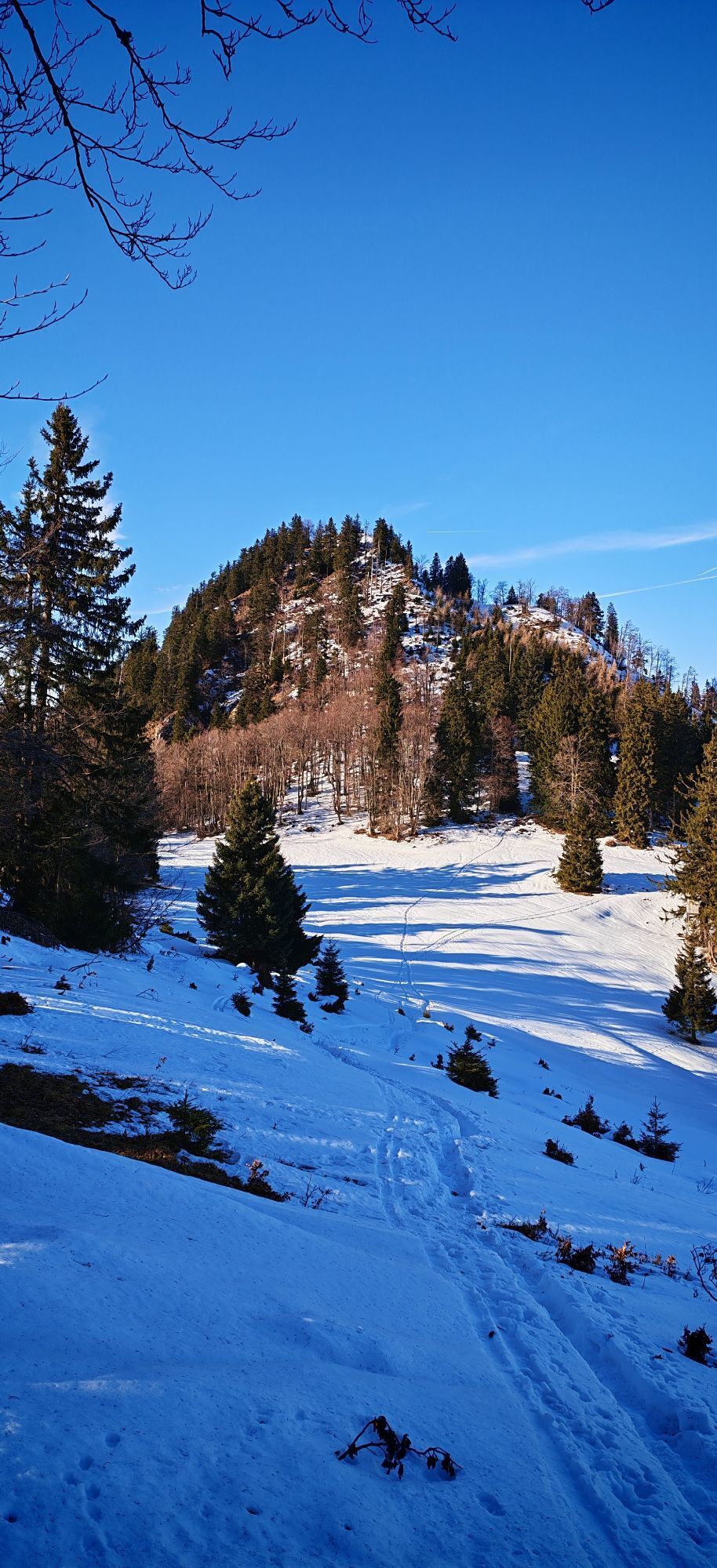
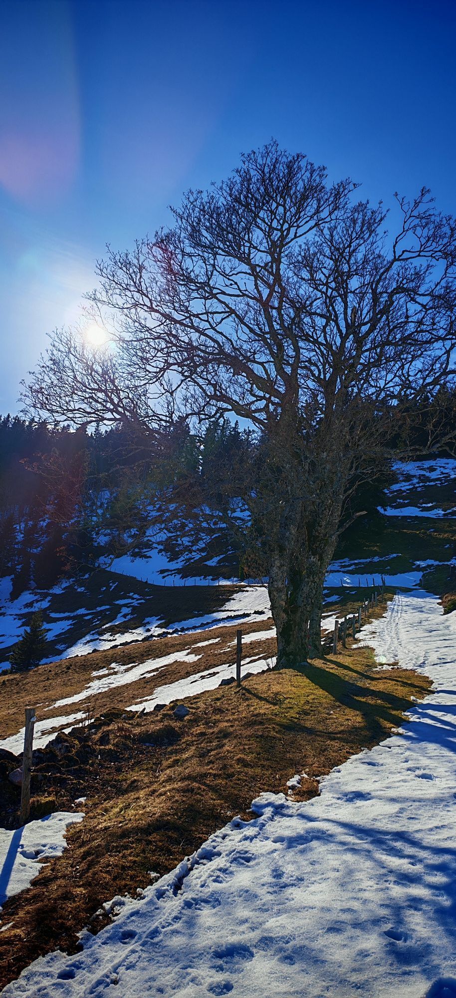

The starting point is the parking lot near the Krems spring at Micheldorf, followed by a strenuous ascent to the Parnstaller Alm; after a longer traverse, the route goes up to the Törl. The path to the...
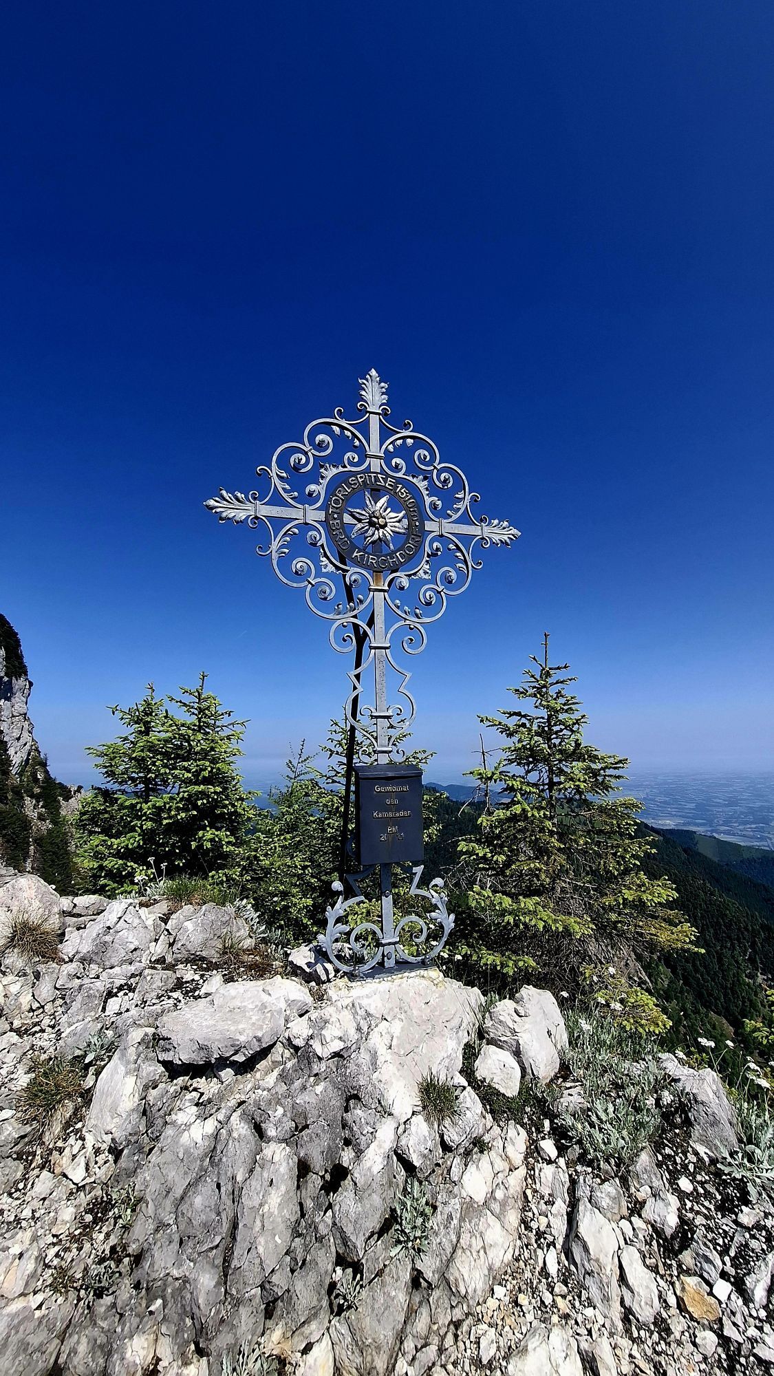
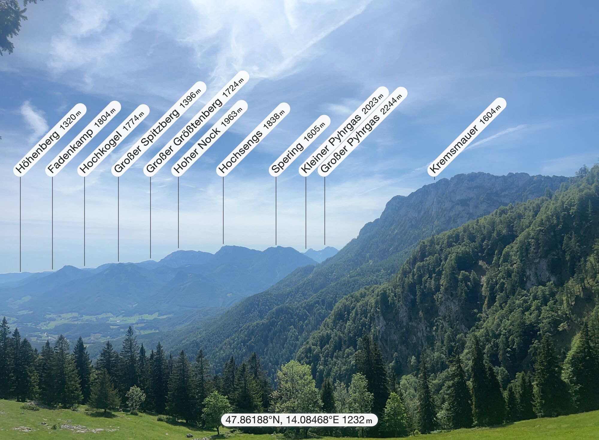
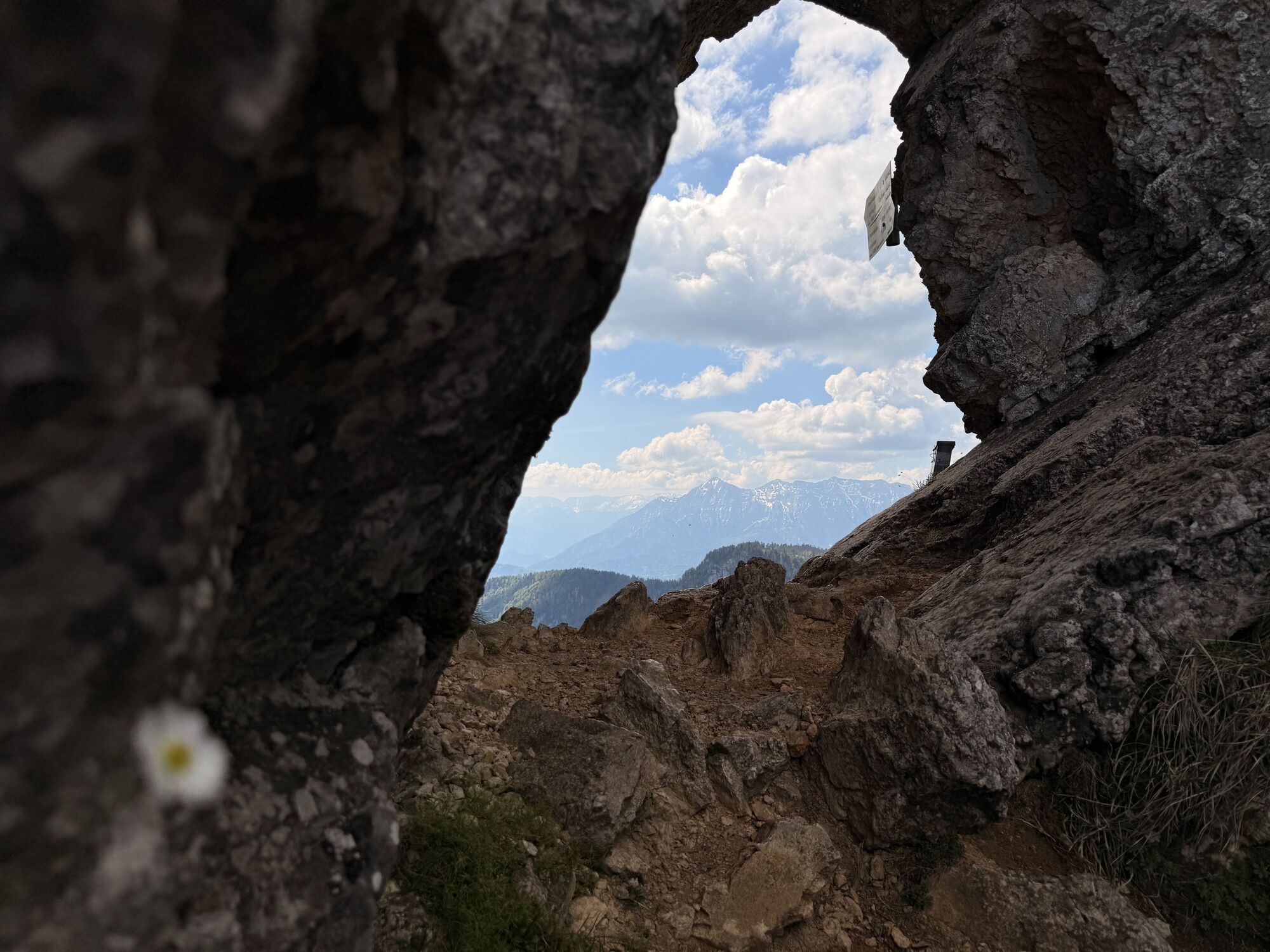
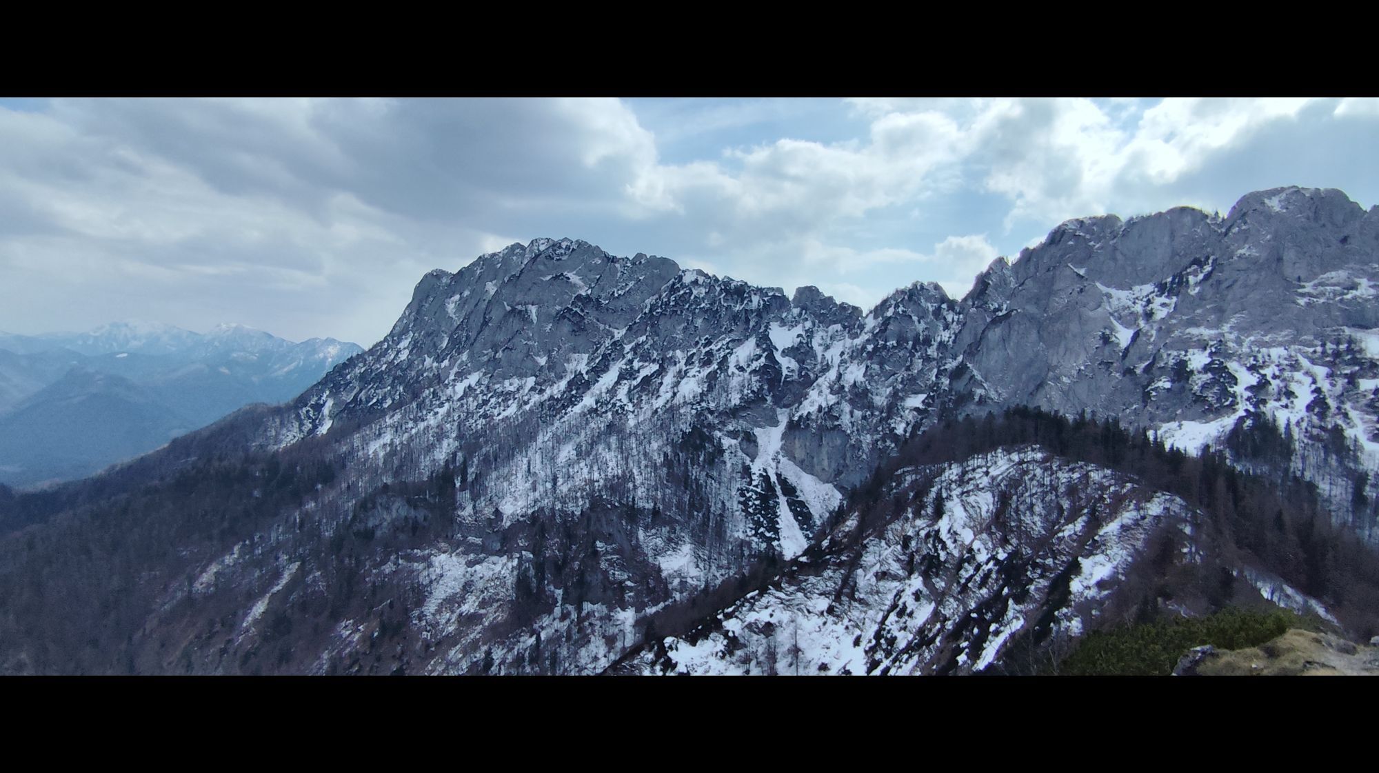
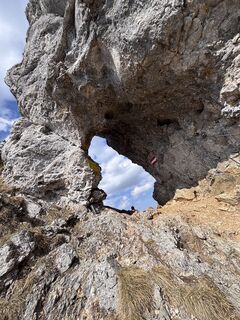
The starting point is the parking lot near the Krems spring at Micheldorf, followed by a strenuous ascent to the Parnstaller Alm; after a longer traverse, the route goes up to the Törl. The path to the rock gate between Falkenmauer and Pyramide is secured with ropes. After a short descent follows the final ascent to the magnificent summit of the Kremsmauer (1,604 m). The next destination is the Gradnalm, from where the descent to the valley follows.
Hiking trail: K93/443, K93/445, 444, 446

On the circular route over the Törl and further to the Gradnalm, some climbs add up to a total of 1,400 meters of elevation. An extremely rewarding day route for enduring mountain enthusiasts.
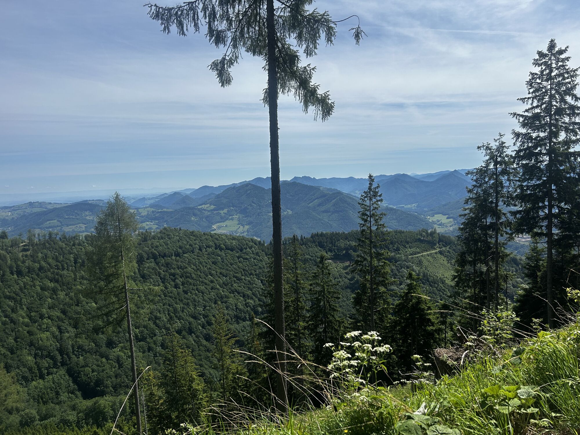
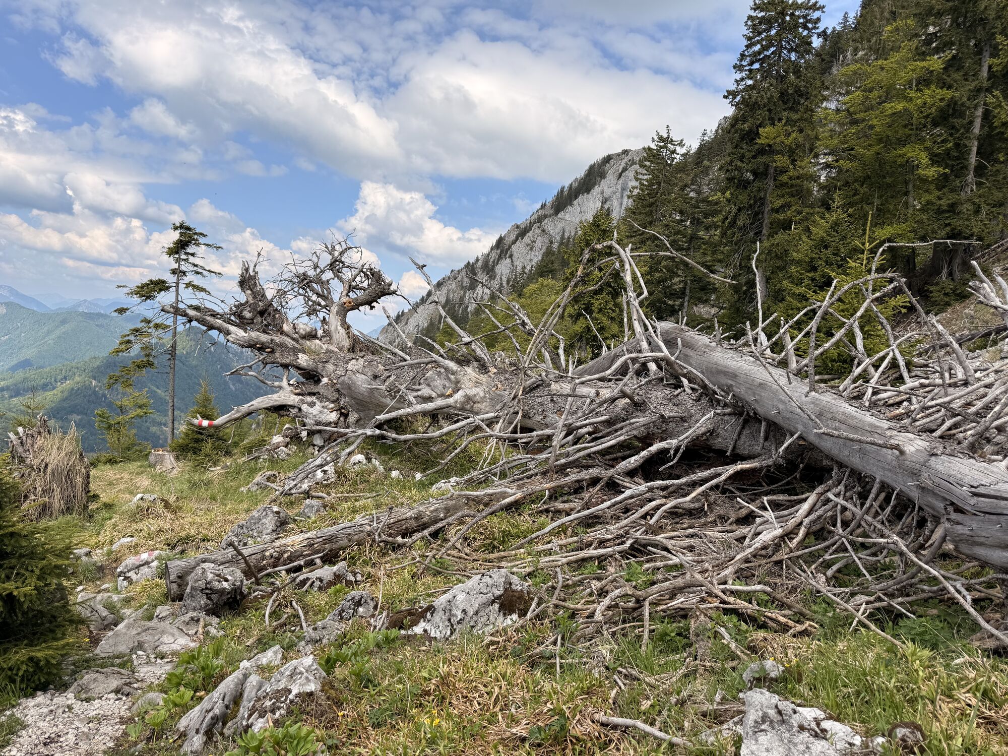
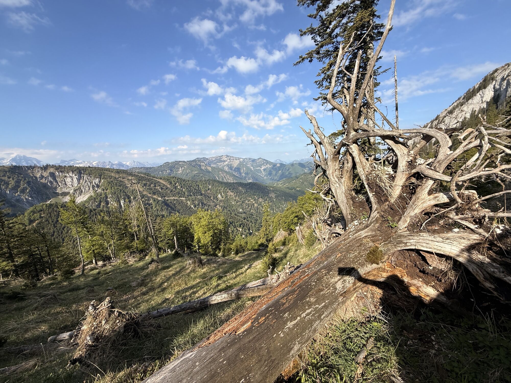
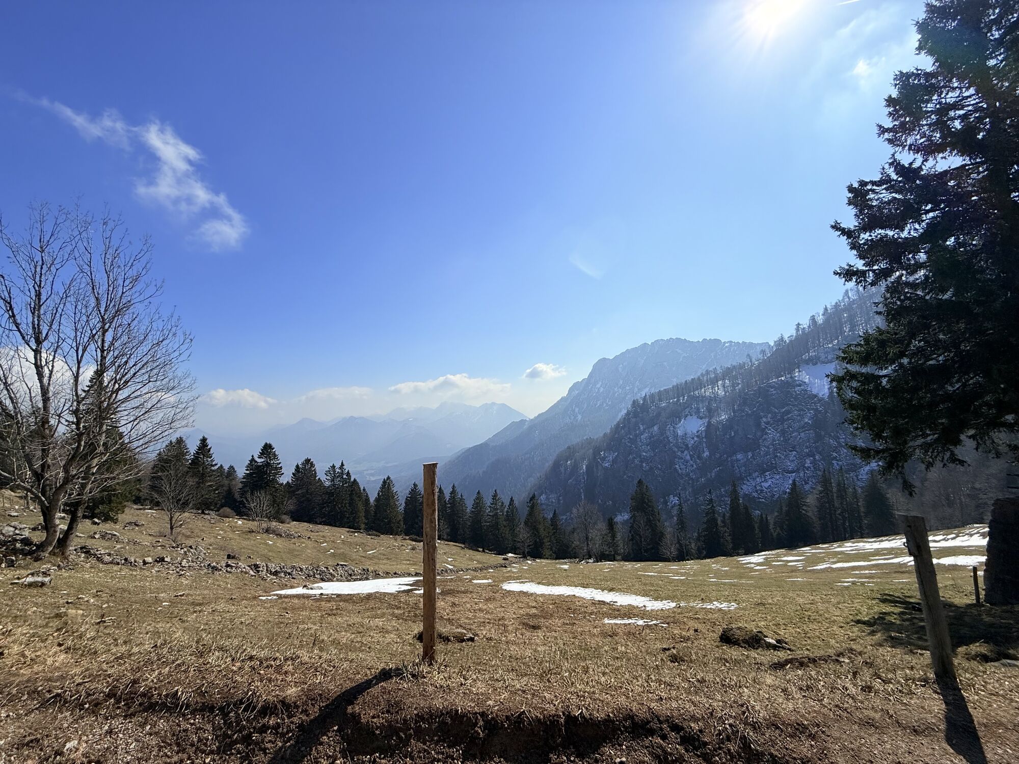
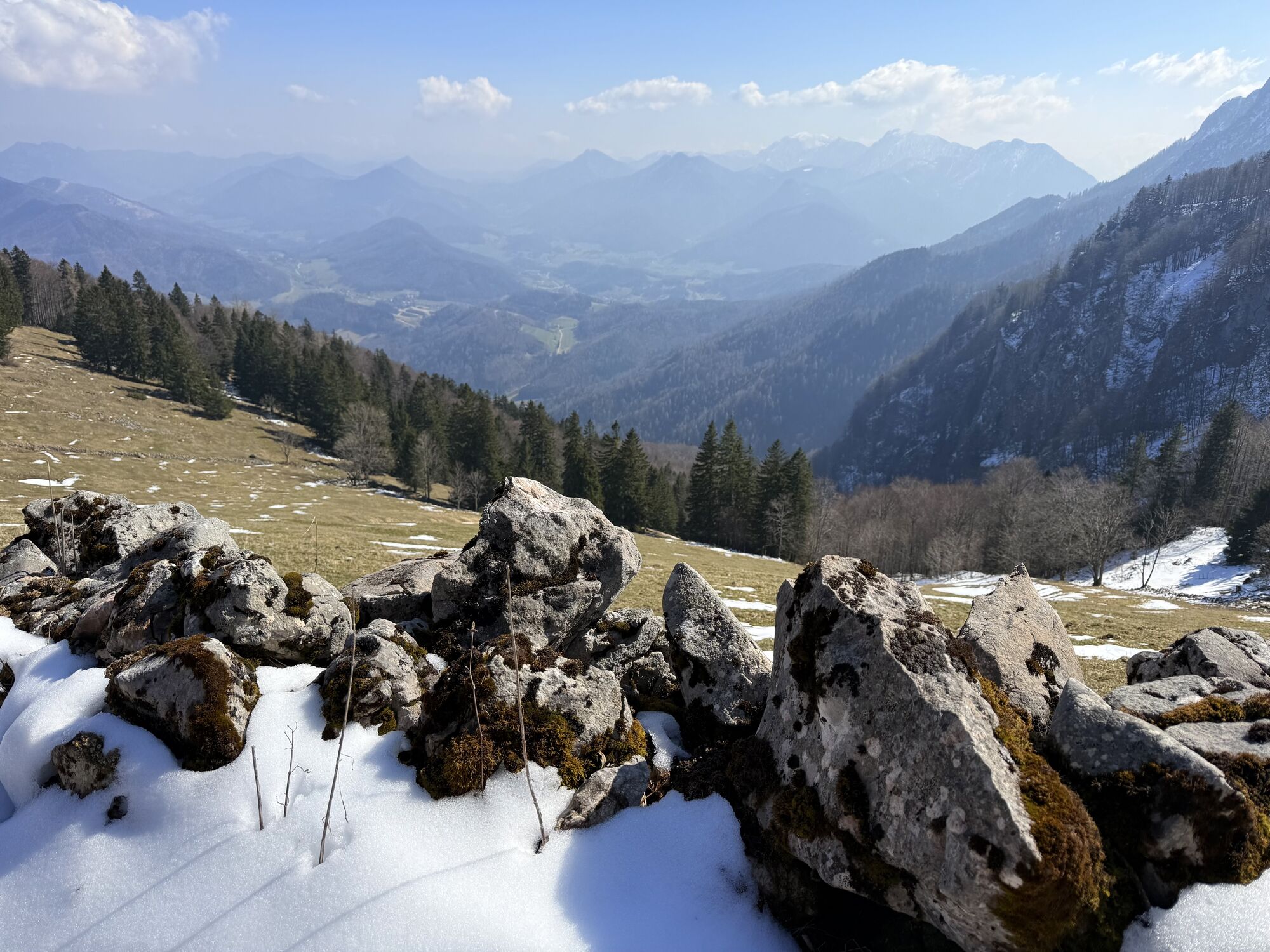
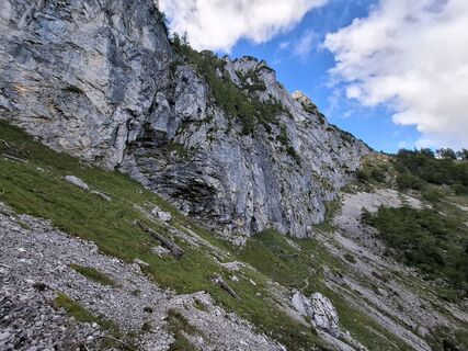
The parking lot near the Krems spring at Micheldorf is the starting point of this circular route. Following the signs, one crosses the Krems, and the path through the forest soon begins to climb steeply. High above a partly deeply incised ravine, the path winds upward. Only in the area of the Parnstaller Alm does it become flatter, and after a longer traverse one reaches a crossroad, following the sign up to the Törl.
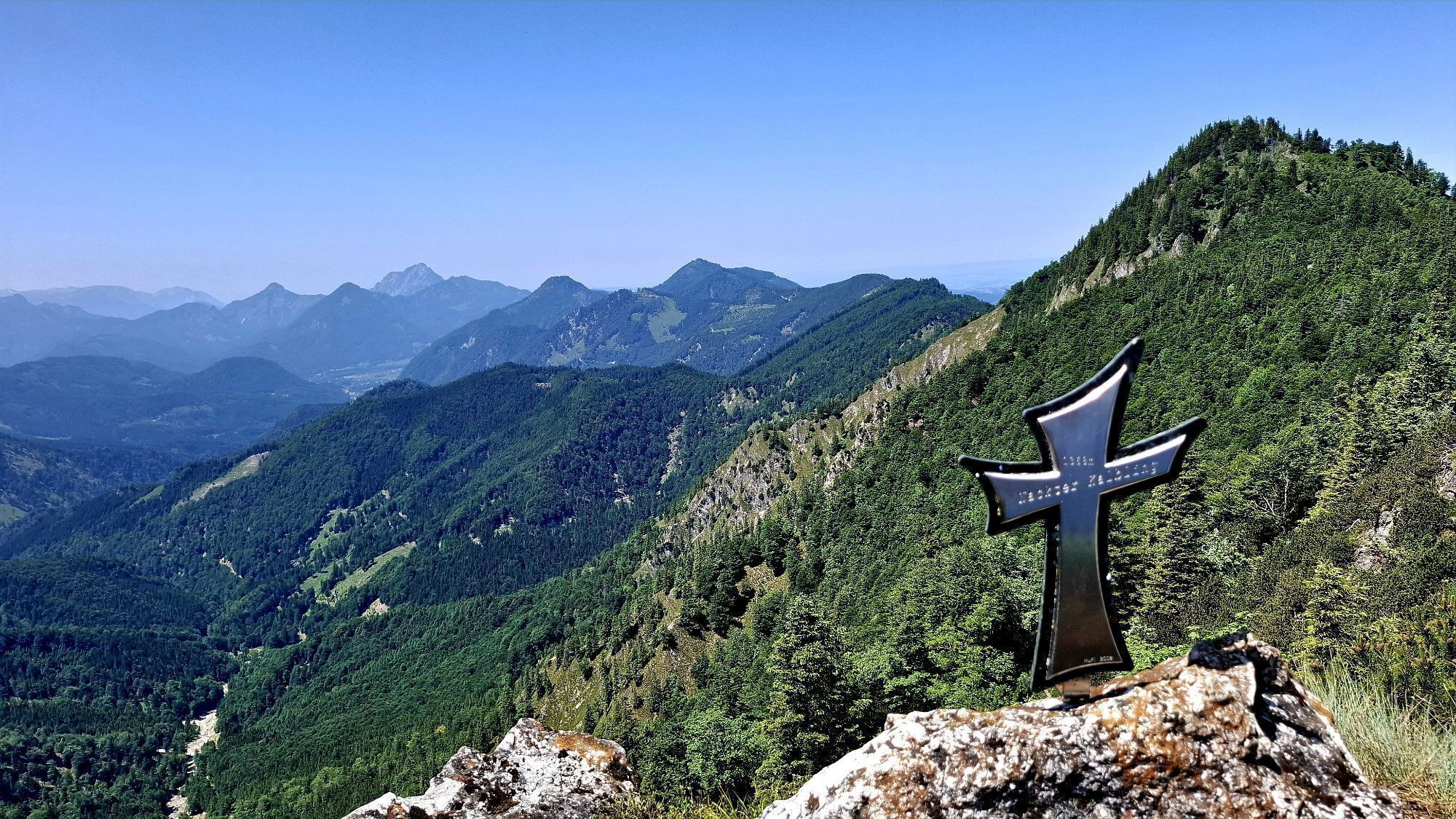
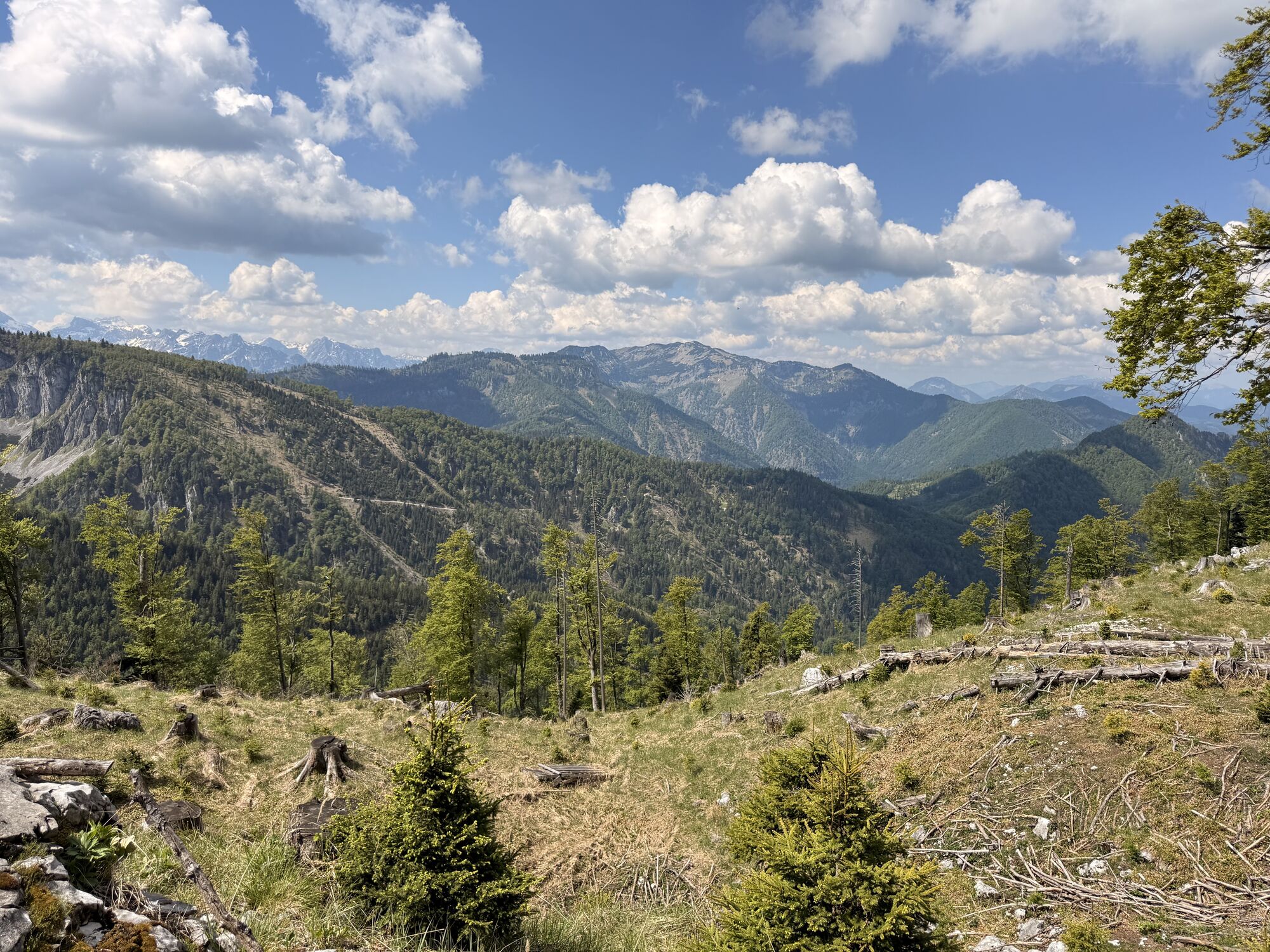
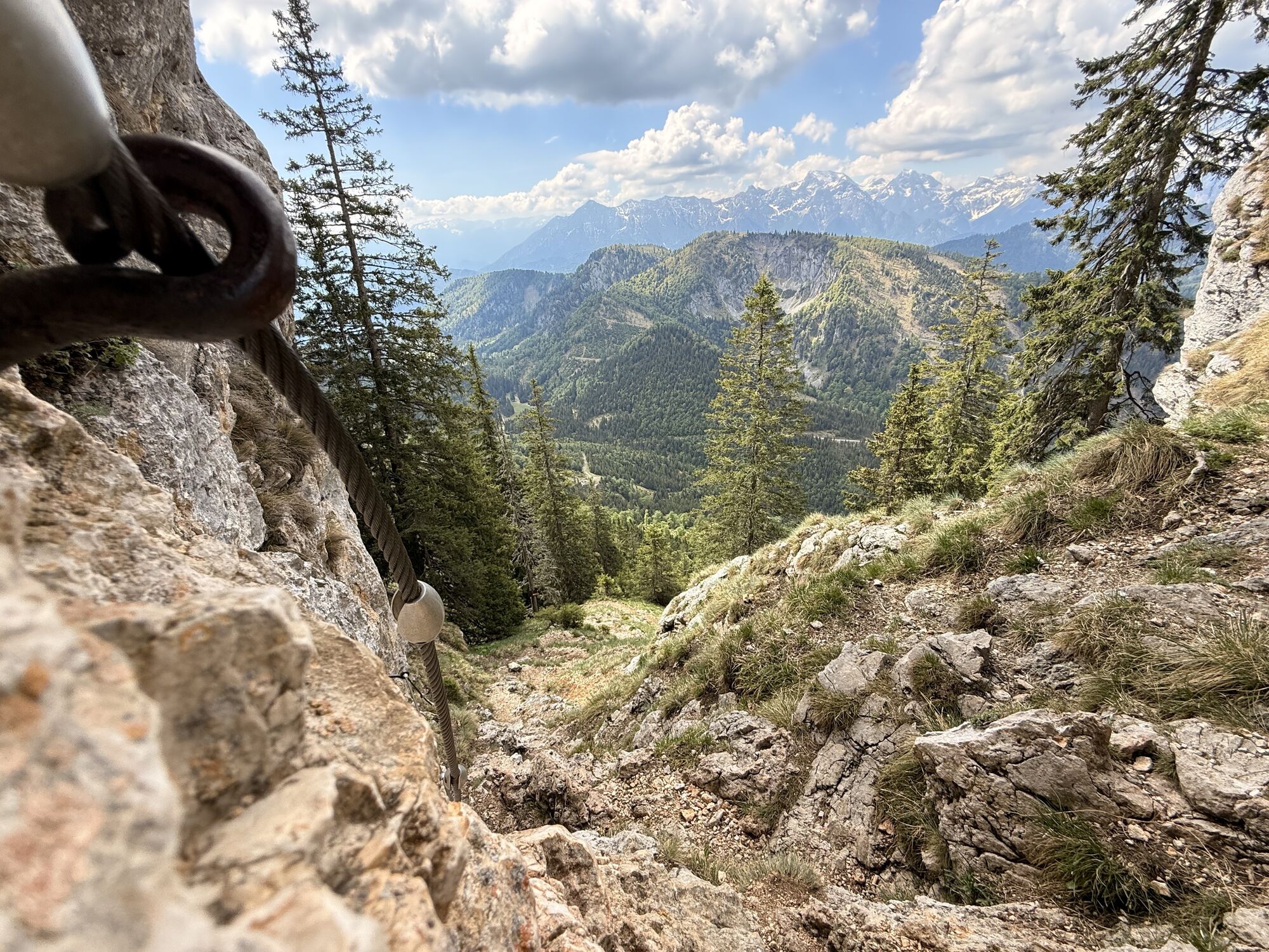
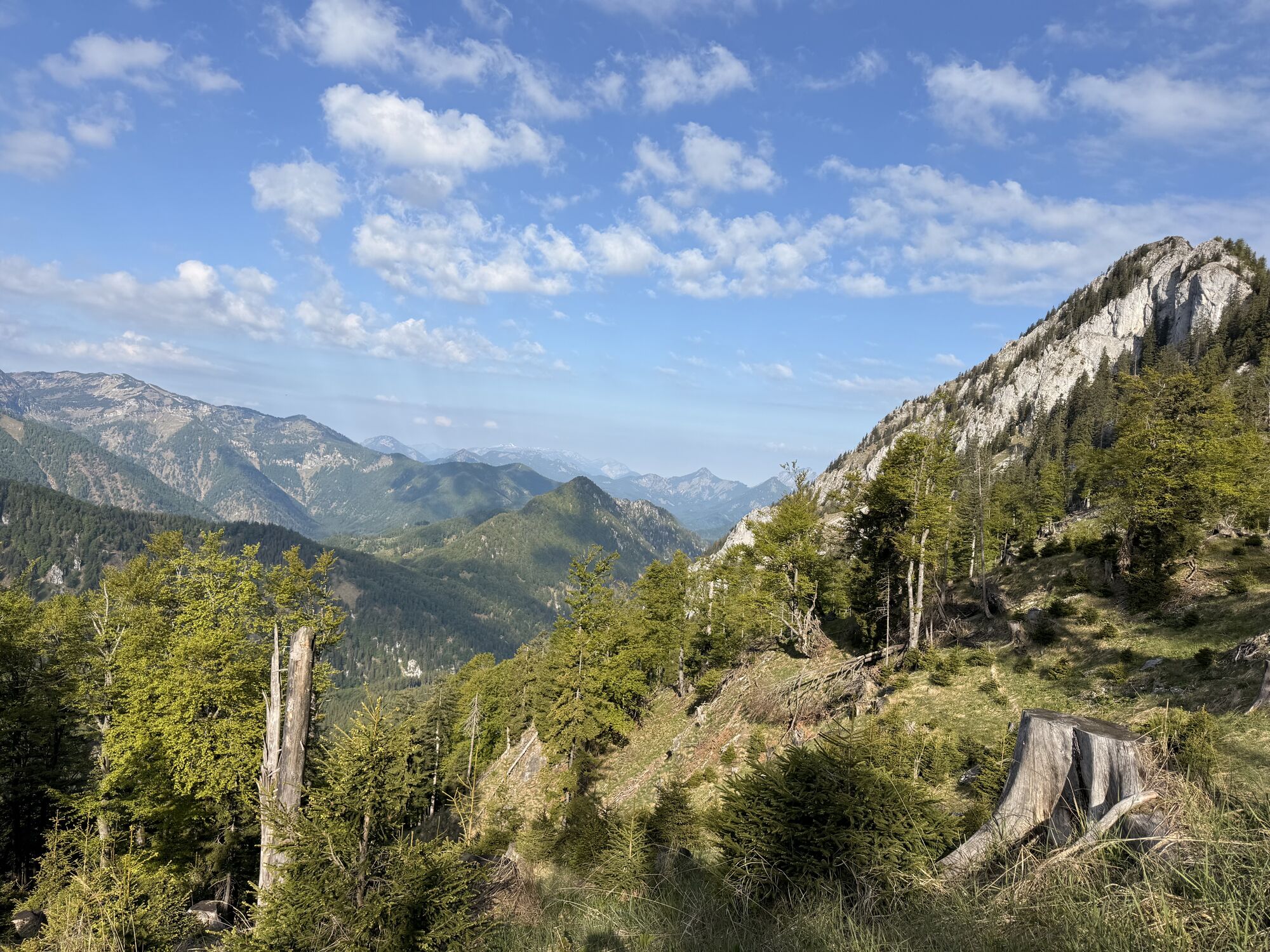
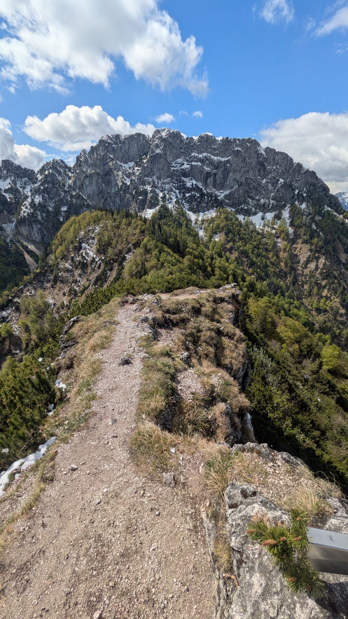
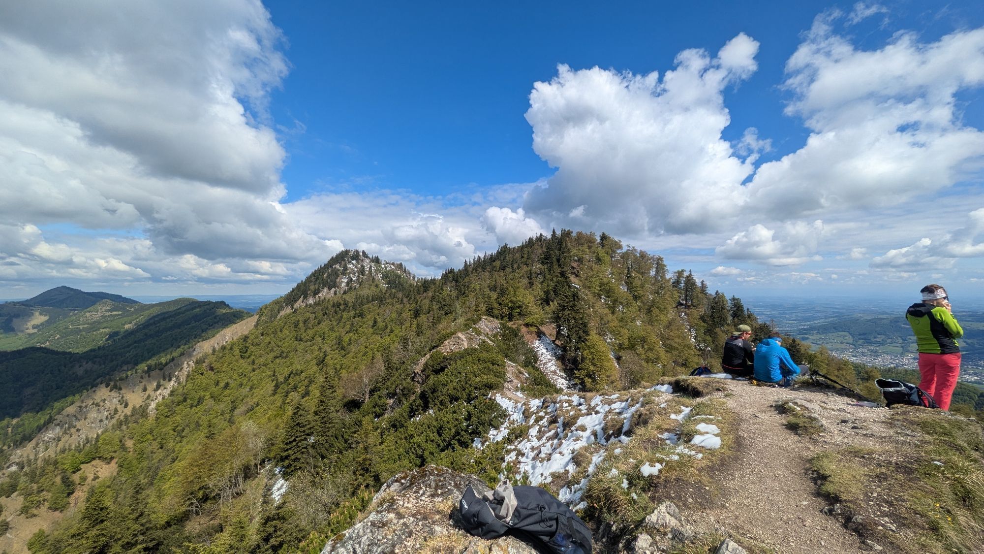
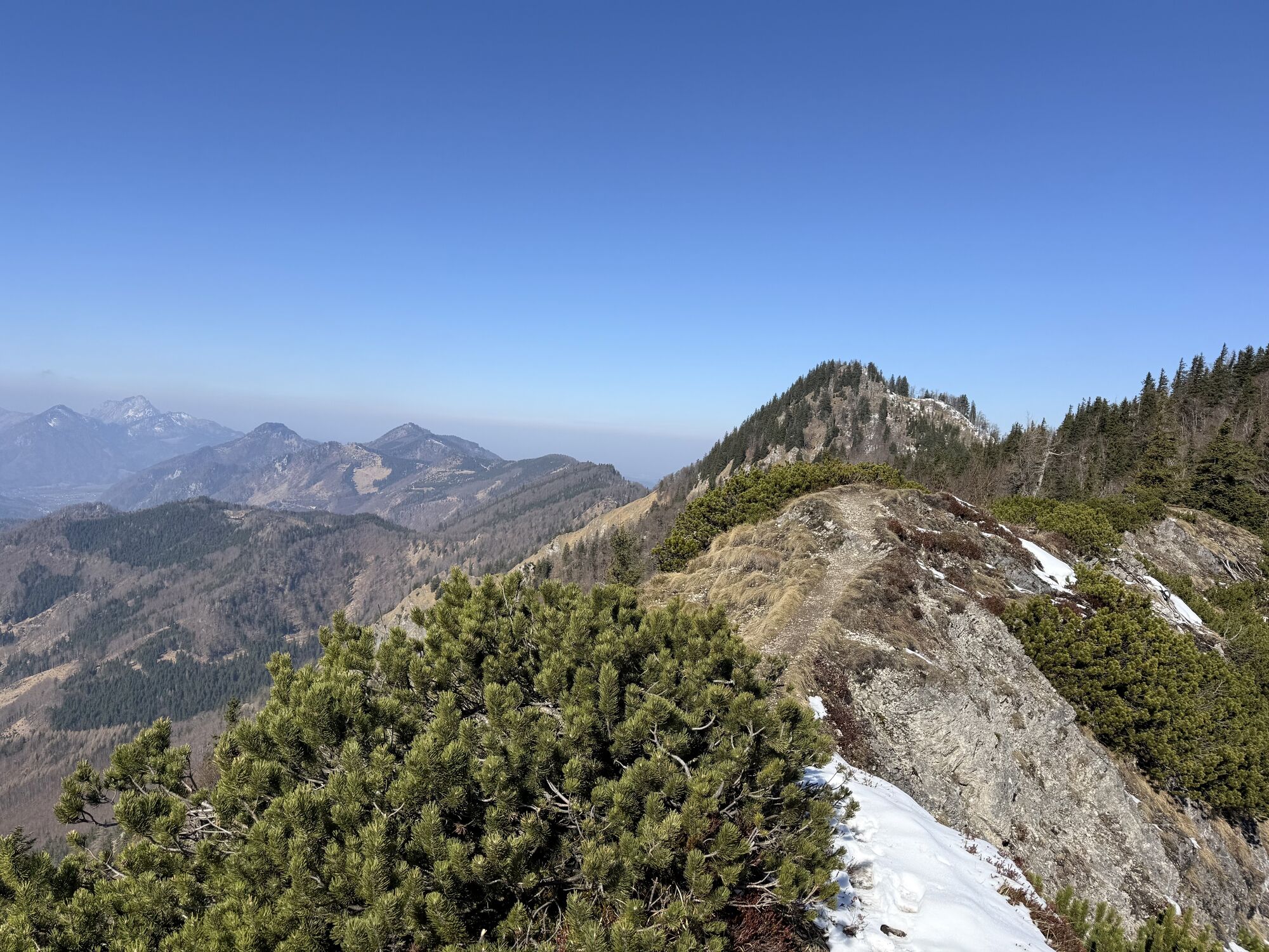
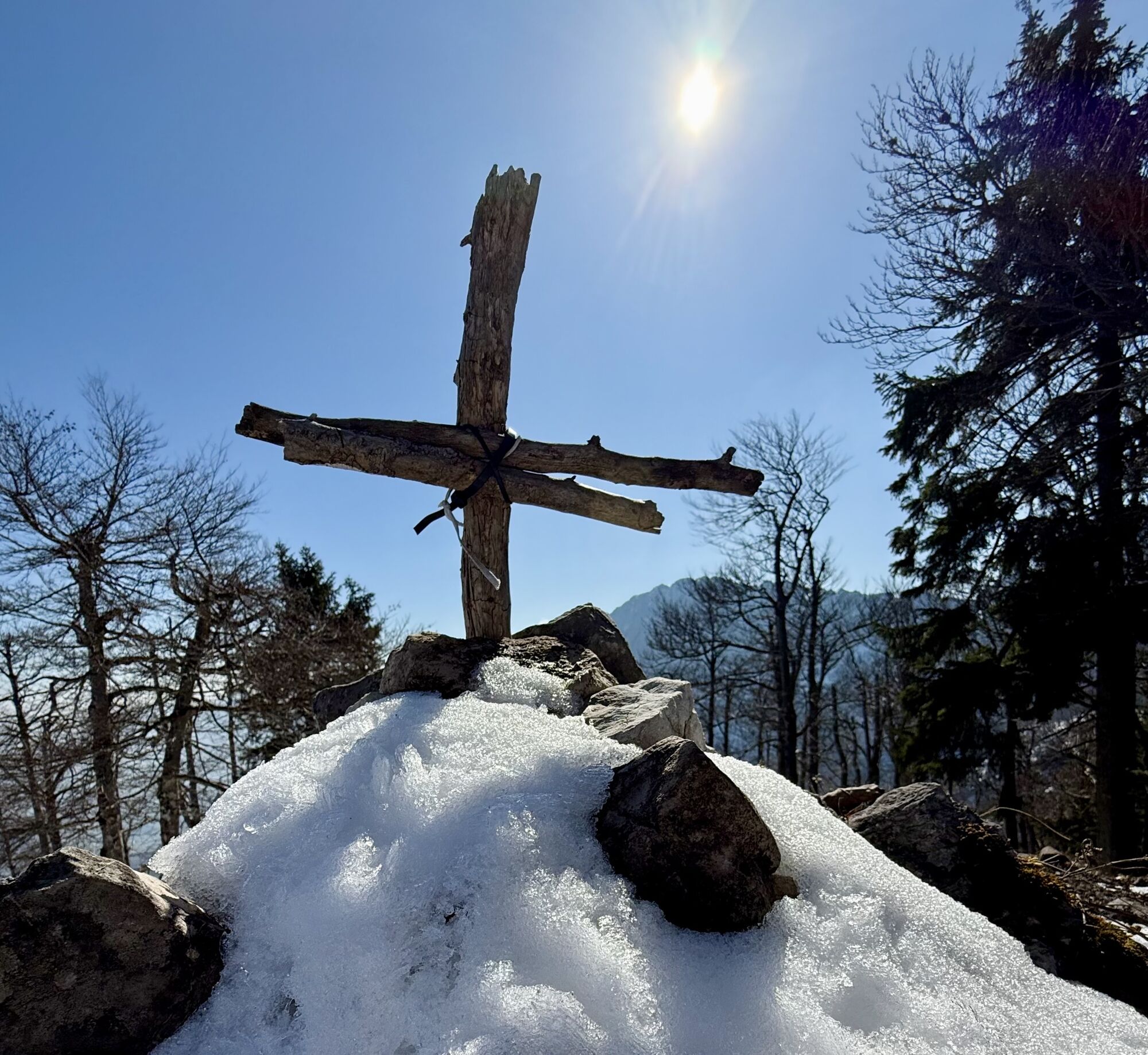
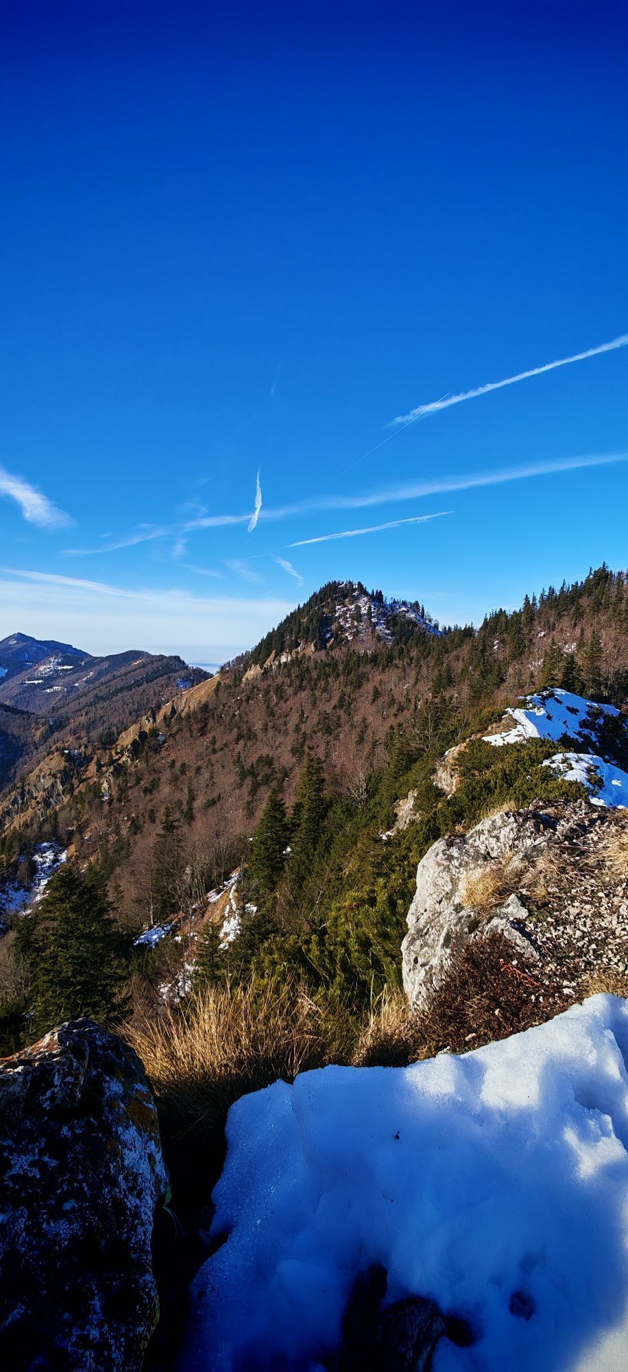
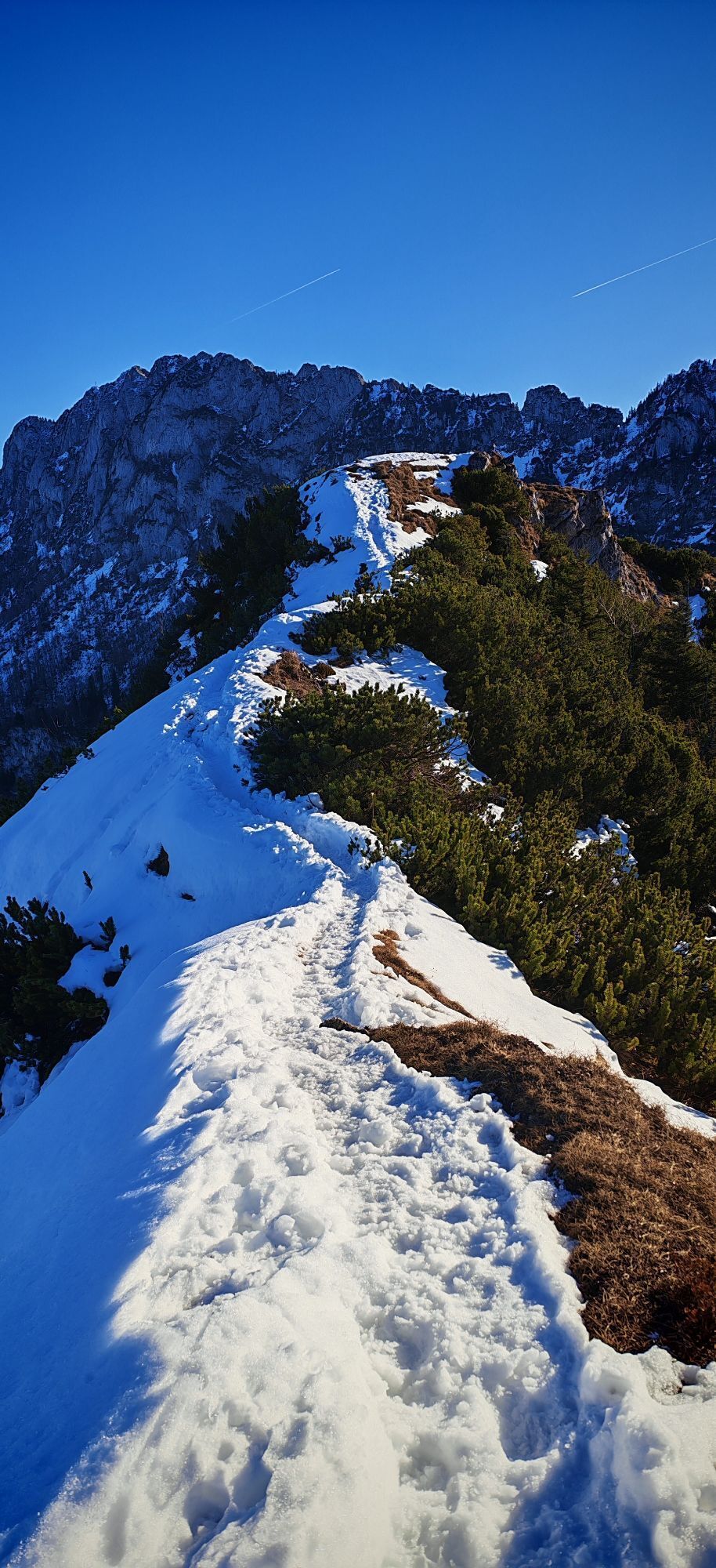
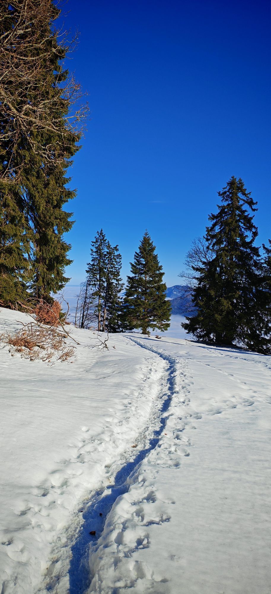
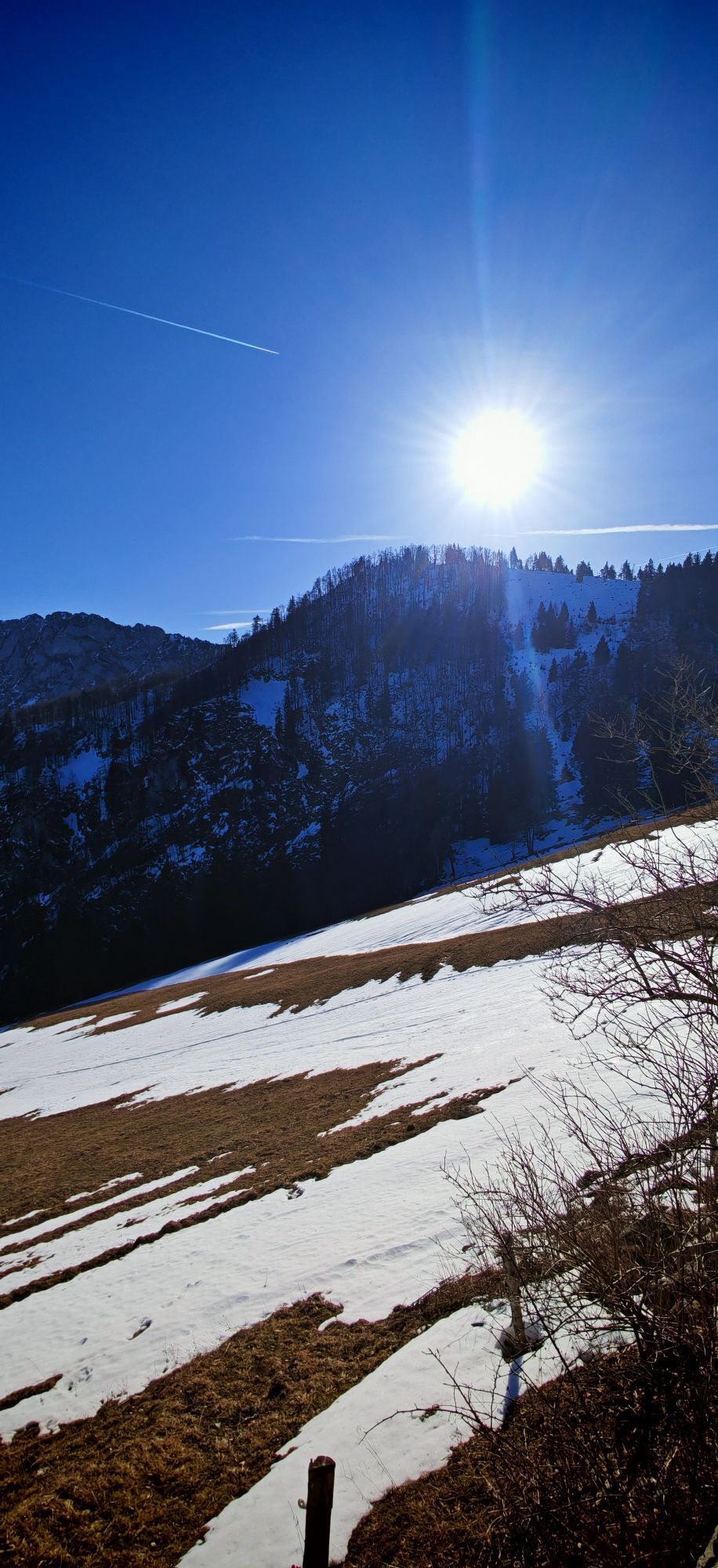
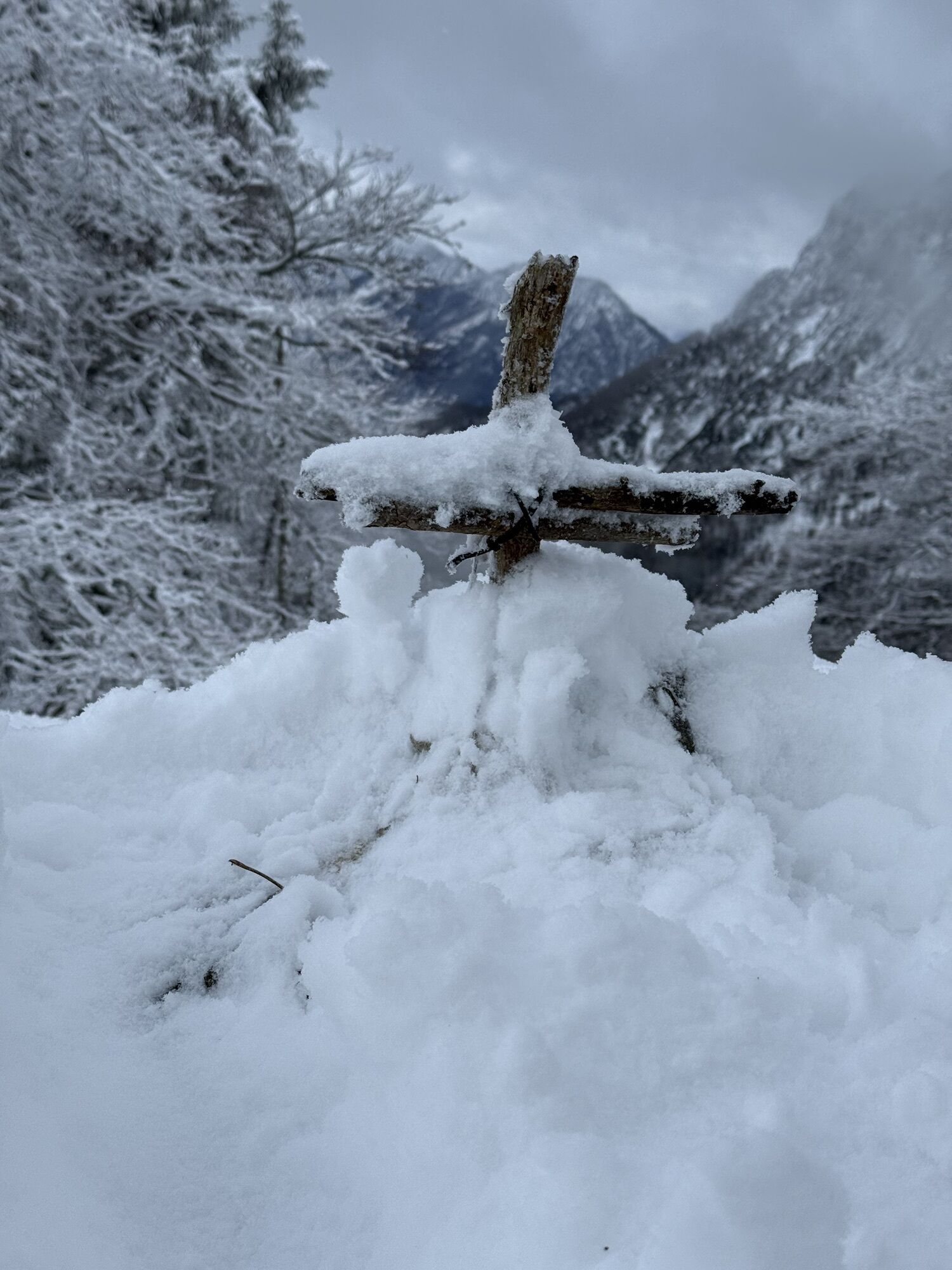
Some steep sections are secured with ropes, allowing one to reach the rock gate between Falkenmauer and Pyramide without major problems. A beautiful spot for a rest before descending about 100 meters in altitude toward Steyrling, then ascending steeply again to the magnificent summit of the Kremsmauer.
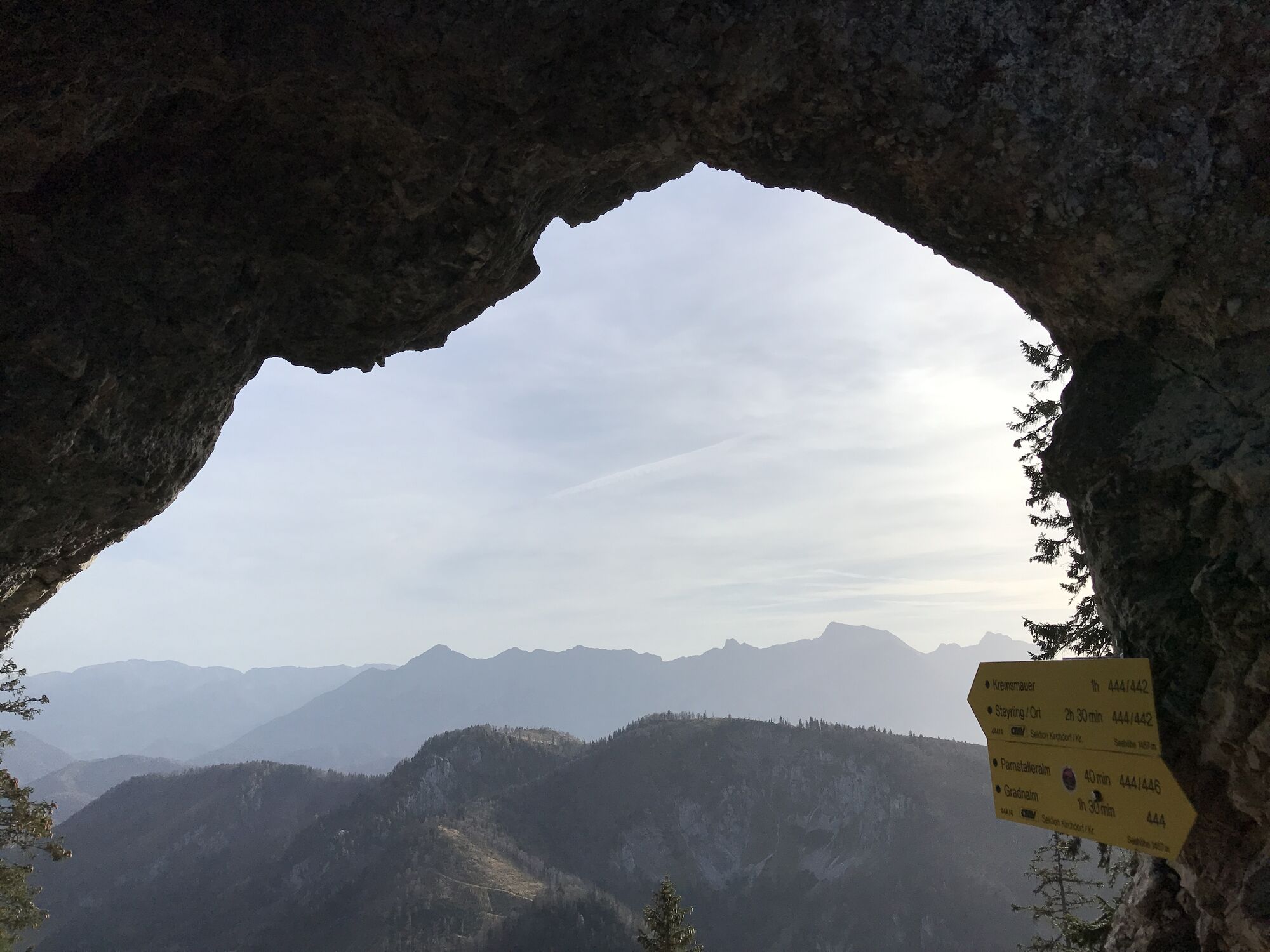
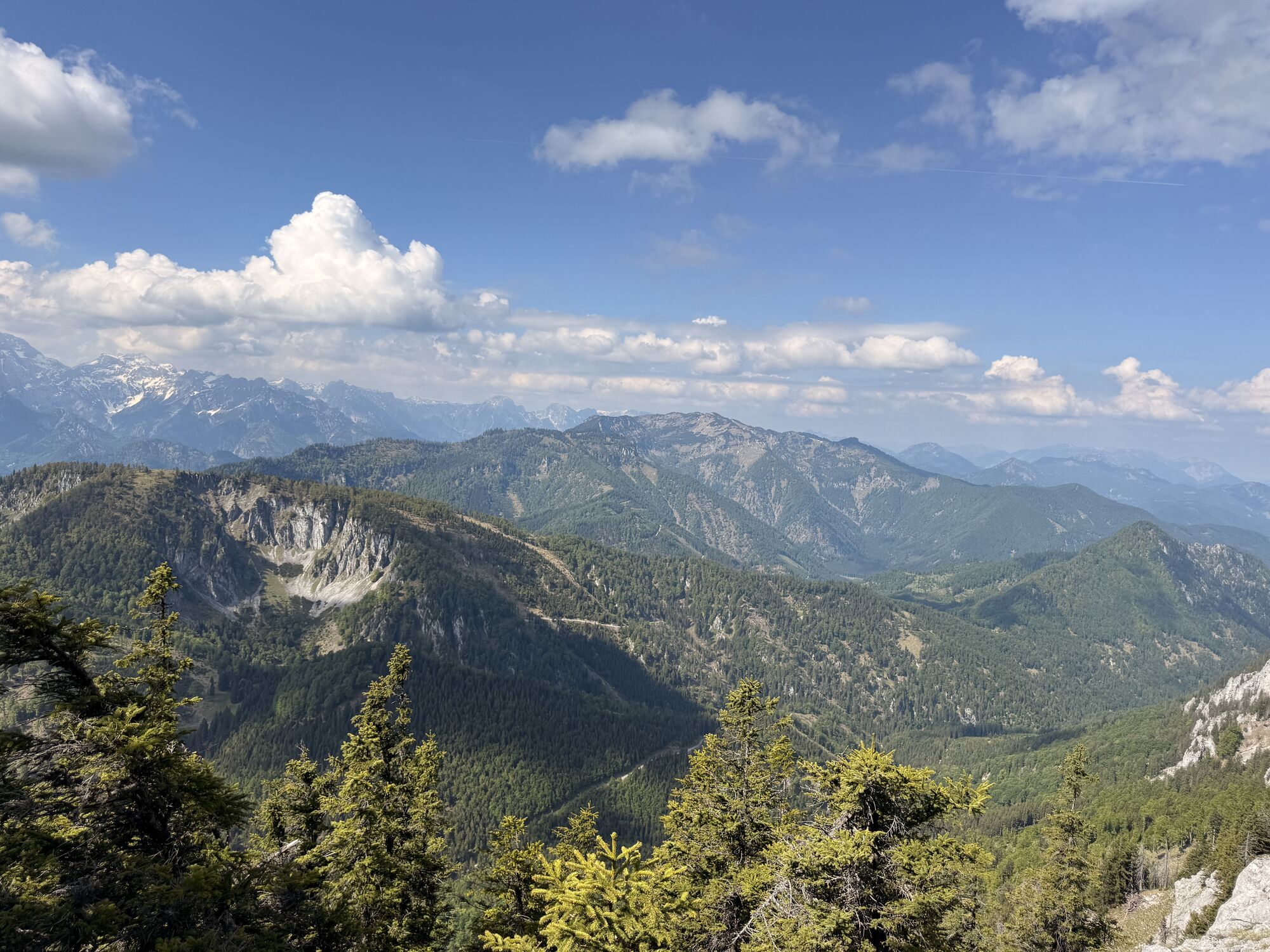
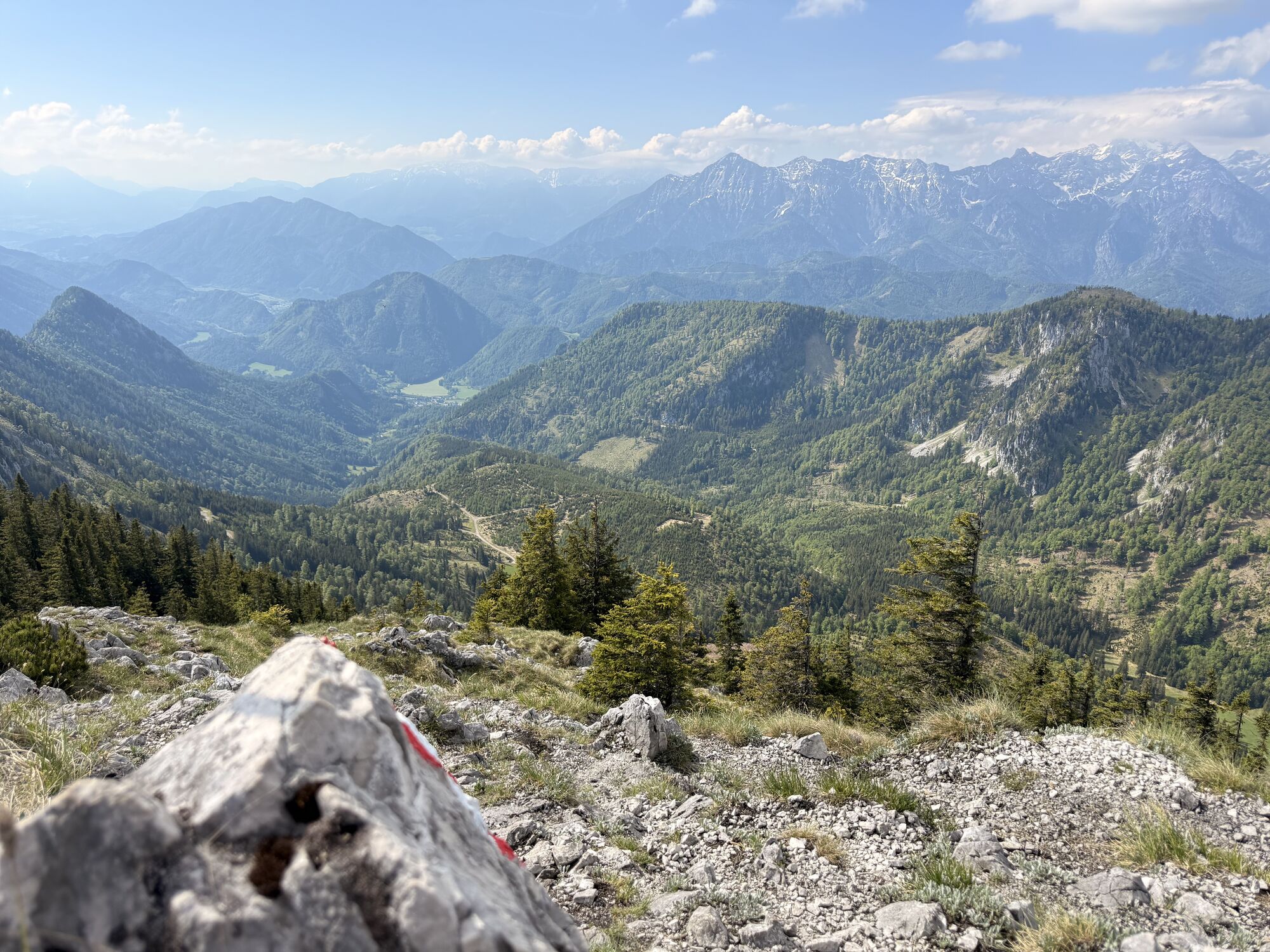
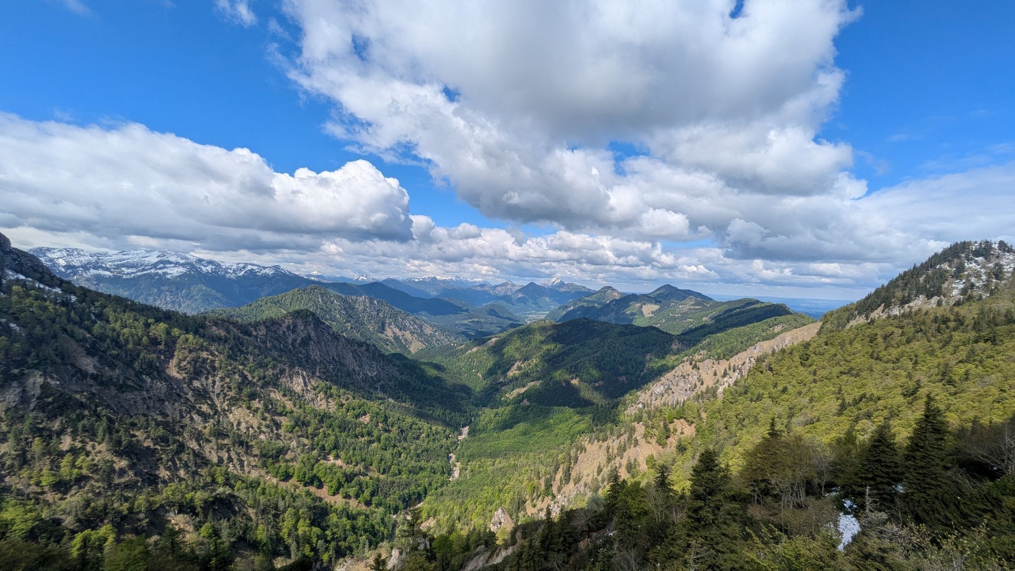
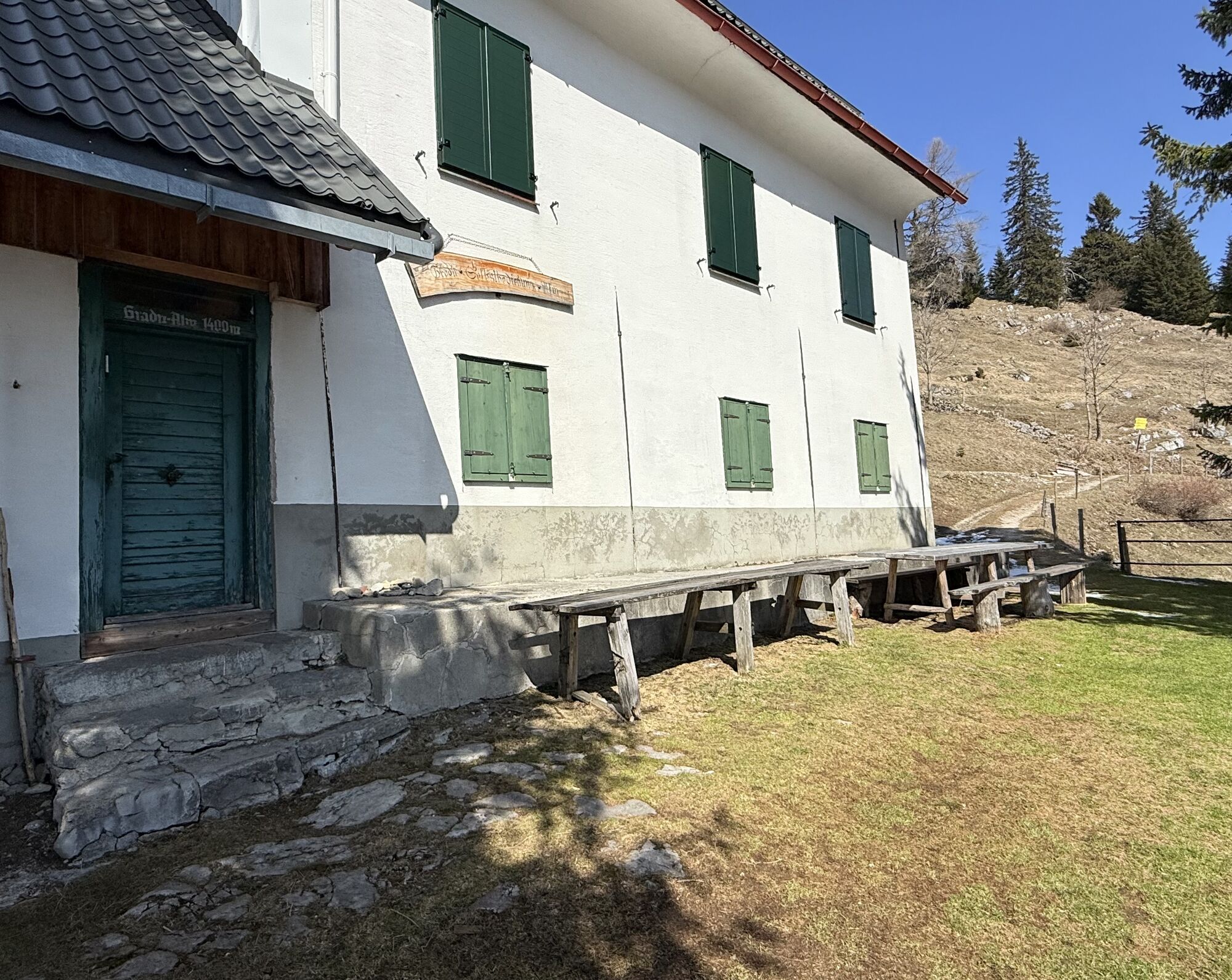
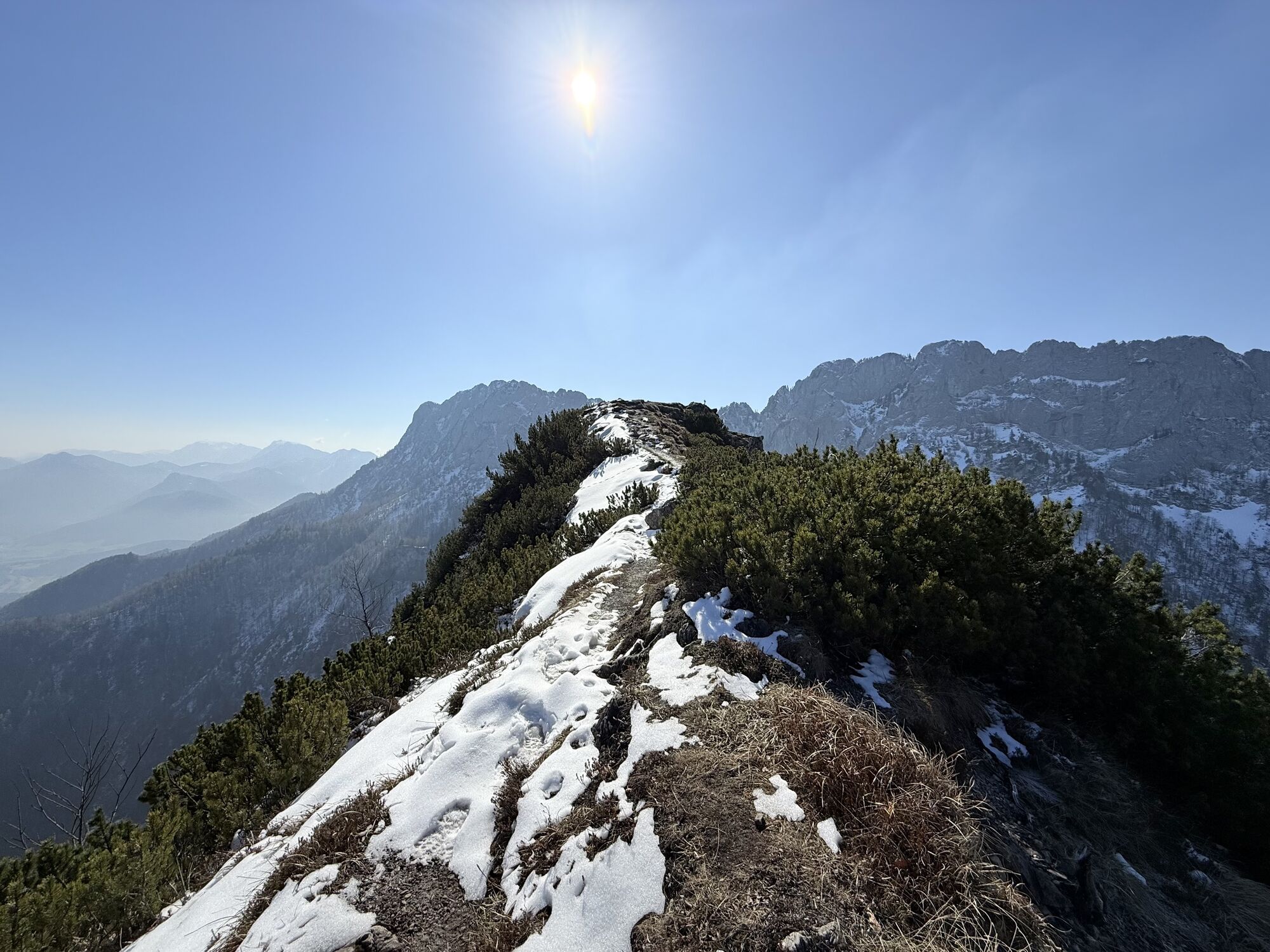
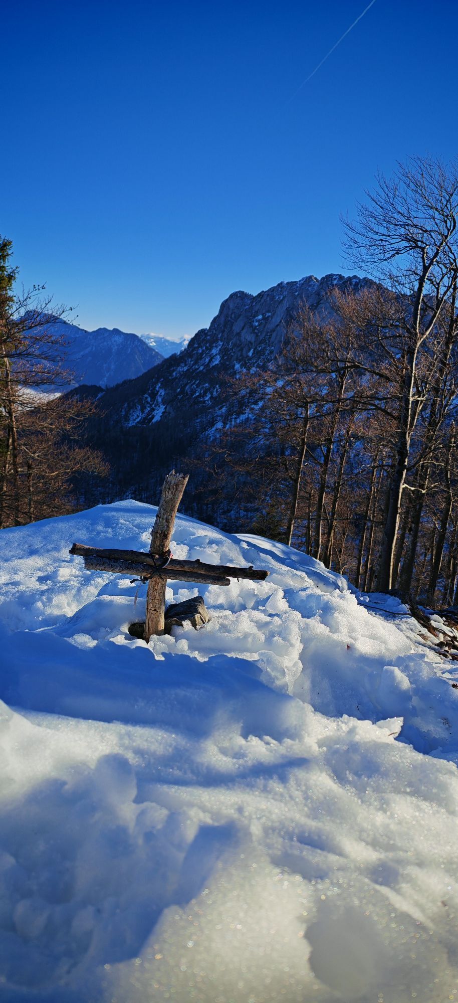
Far below one discovers the next goal of this mountain tour, the Gradnalm. Descent to the junction to Steyrling, ascent back to the Törl, down to the crossroads, known from the ascent. From here, follow trail no. 444, winding beneath the impressive rock walls of Falkenmauer, turning north and always following the ridge to the Gradnalm.
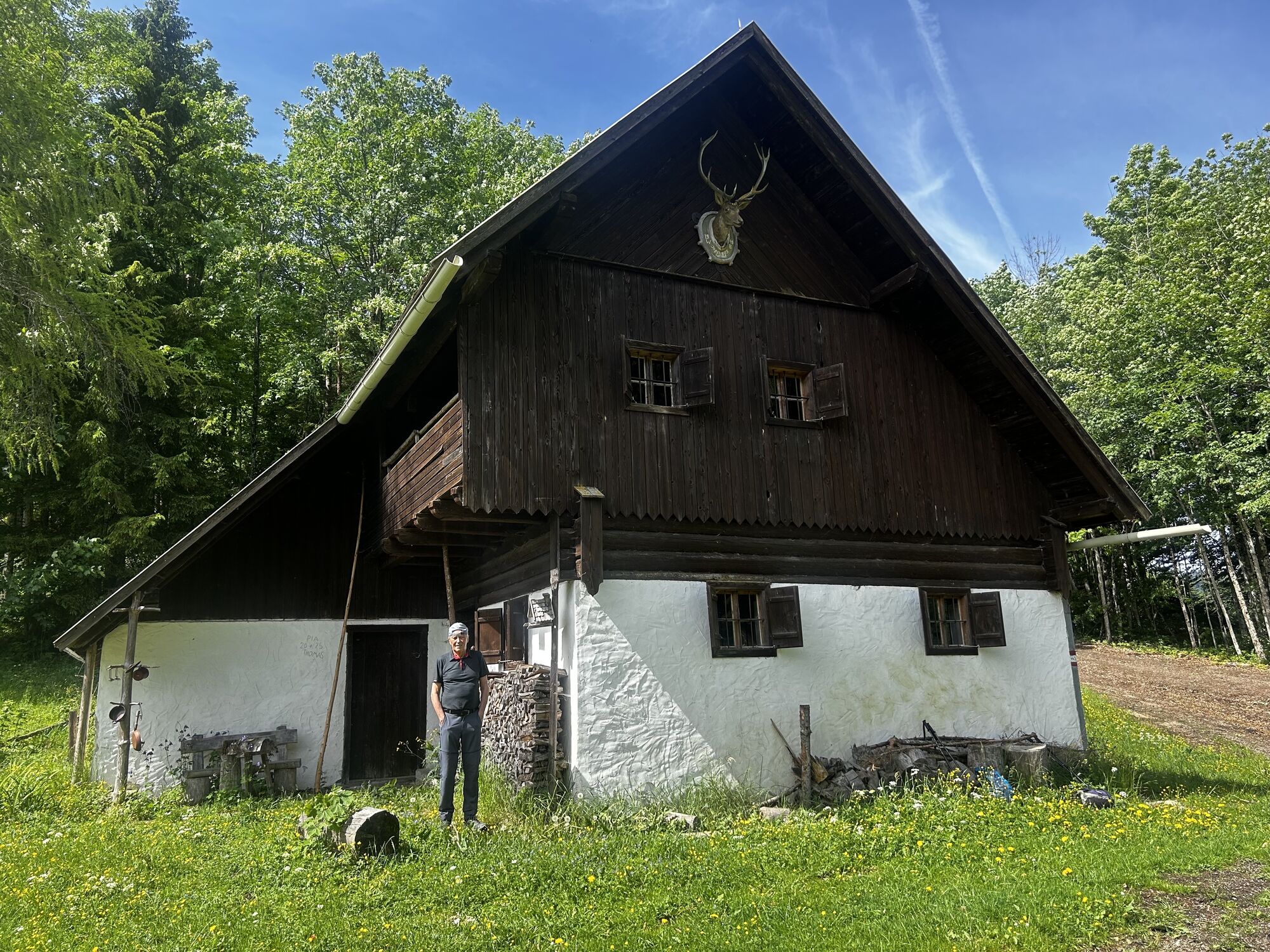
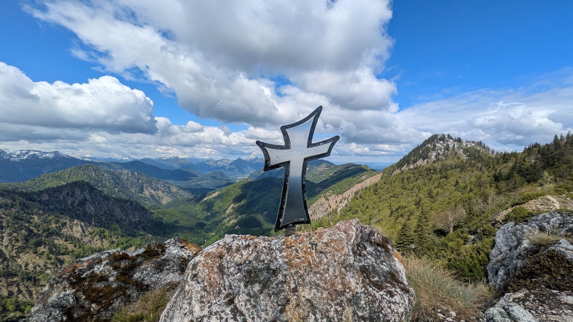
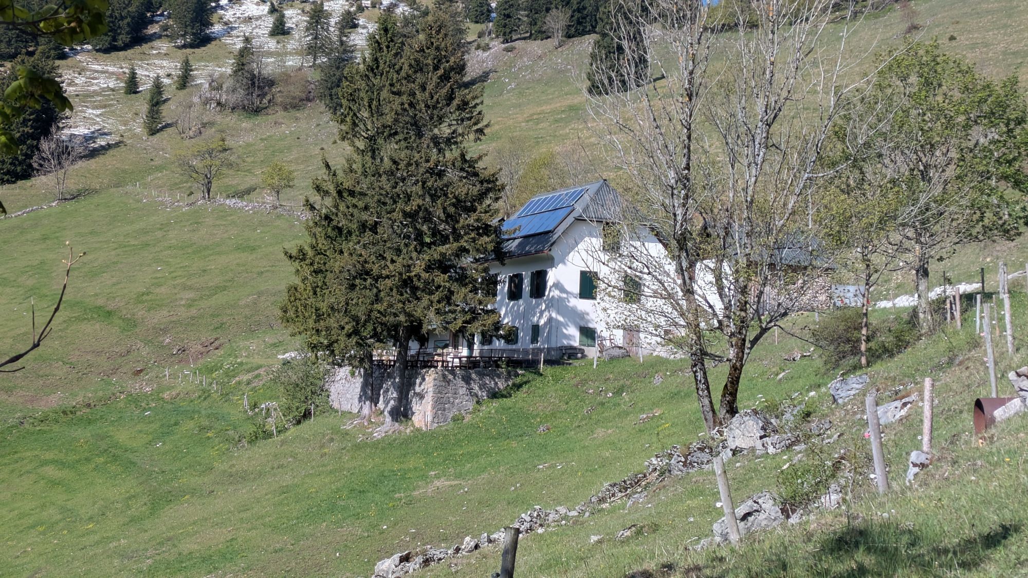
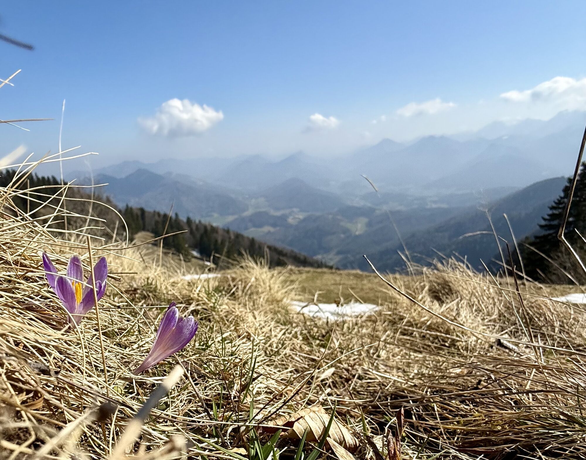
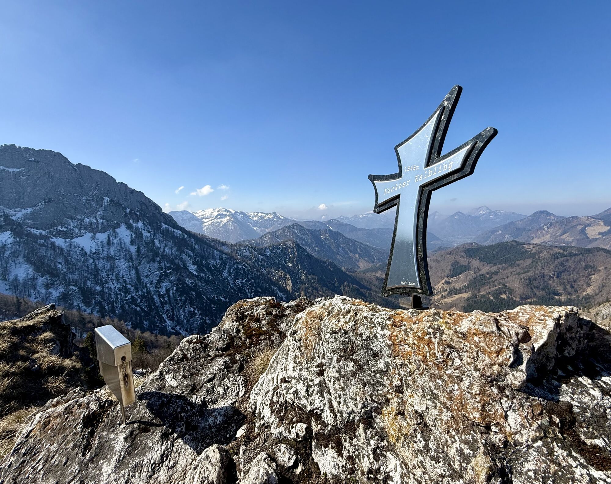
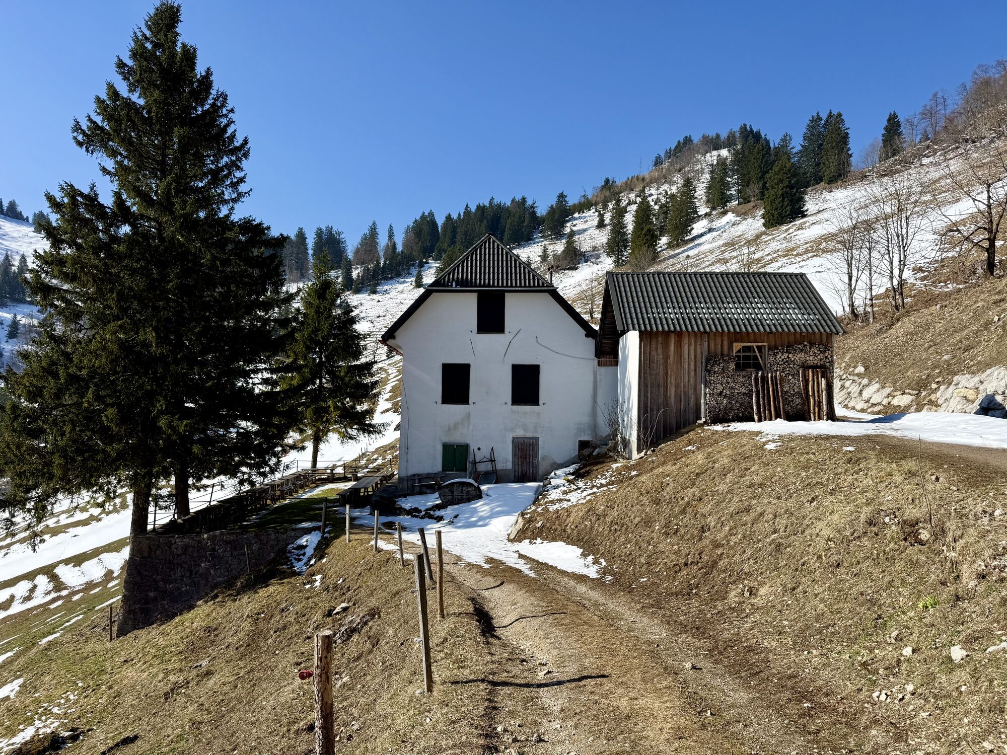
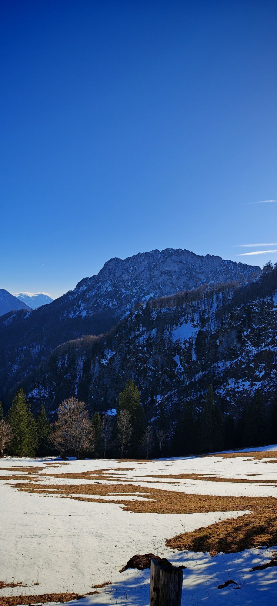
Beautiful views into the lonely forest landscape below the small summit of Rauher Kalbling are a first reward, followed by countless yellow glowing globeflowers on the alpine meadows at the Gradnalm and a cozy rest at the hut as a third.
Refreshed with new energy, the last descent into the valley can be managed. Arrival: from Kirchdorf to Micheldorf, continue towards Krems spring.
Áno
Surefootedness and a head for heights required!
From Linz: A9 Pyhrn motorway - exit Inzersdorf
From Graz: A9 Pyhrnautobahn > exit Klaus > federal road B 138
Details at www.ooevv.at
Micheldorf/parking lot near the Krems spring
Aktivity počas prehliadky
-

Micheldorf in Oberösterreich, Oberösterreich/Österreich
28.05.2026 – Turistika -

Micheldorf in Oberösterreich, Oberösterreich/Österreich
25.05.2026 – Turistika -

Micheldorf in Oberösterreich, Oberösterreich/Österreich
24.05.2026 – Mountainbike -
Nackter Kalbling, Oberösterreich/Österreich
18.05.2026 – Turistika -

Micheldorf in Oberösterreich, Oberösterreich/Österreich
22.03.2026 – Horská turistika -

Micheldorf in Oberösterreich, Oberösterreich/Österreich
16.11.2025 – Turistika -
Micheldorf in Oberösterreich, Oberösterreich/Österreich
28.09.2025 – Turistika -
Kremsmauer über Parnstalleralm und Törl
17.09.2025 – Turistika -

Krems Ursprung-Törl-Nackter Kalbling-Rauher Kalbling-Gradnalm-Krems Ursprung
31.08.2025 – Vysoké turné -

Micheldorf in Oberösterreich, Oberösterreich/Österreich
12.06.2024 – Turistika
Obľúbené výlety v okolí
-
4,7
Bergwanderung auf den Spering
strednáTuristika 7,50 km -
4,7
+++ Almsee Rundwanderung, Grünau im Almtal
svetloTuristika 10,8 km -
4,7
Windhagkogel (1334m)
strednáTuristika 10,4 km -
4,6
Rinnende Mauer - Gorge Trail
strednáTuristika 7,20 km -
4,6
4 Gipfel Tour im Almtal Bräumauer, Maisenkögerl, Hutkogel und Hochsalm
strednáTuristika 9,80 km -
4,6
Hochsalm
strednáTuristika 8,50 km -
4,5
Hochberghaus - Spitzplaneck
svetloTuristika 11,5 km -
4,2
Rinnerberger Waterfall - Gorge
strednáTuristika 7,55 km -
4,5
Steyrerhütte
strednáTuristika 14,3 km -
4,5
Mittagstein und Hochsalm
strednáTuristika 9,53 km
Turistika a stopovanie


Nenechajte si ujsť ponuky a inšpiráciu na ďalšiu dovolenku
Vaša e-mailová adresa bol pridaný do poštového zoznamu.