






Grünburger Hut (via Schoberstein)
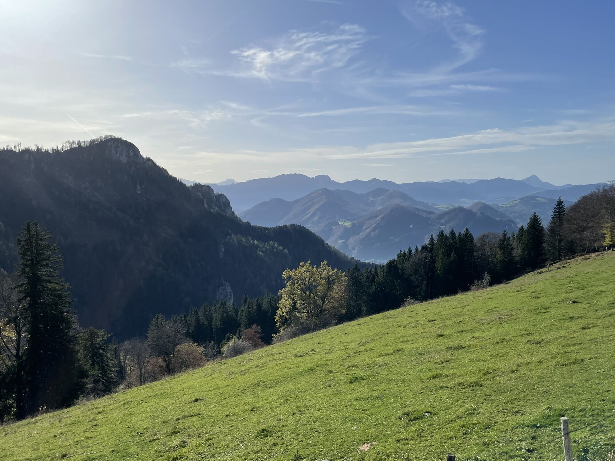
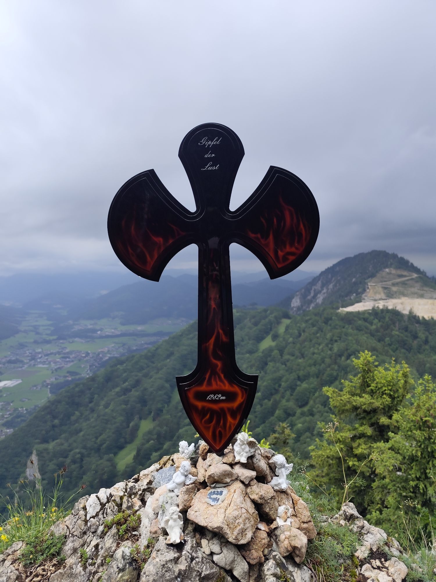
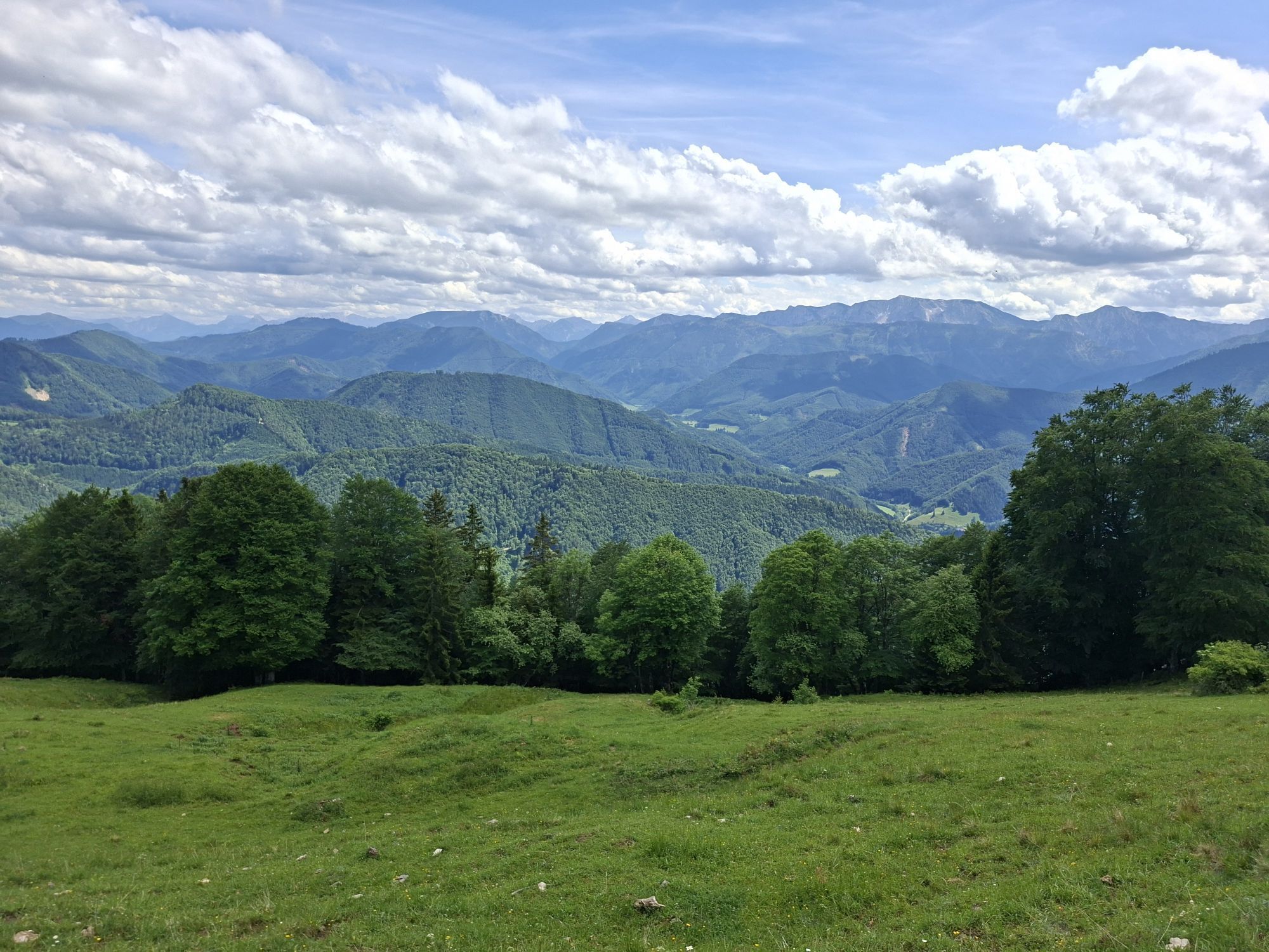
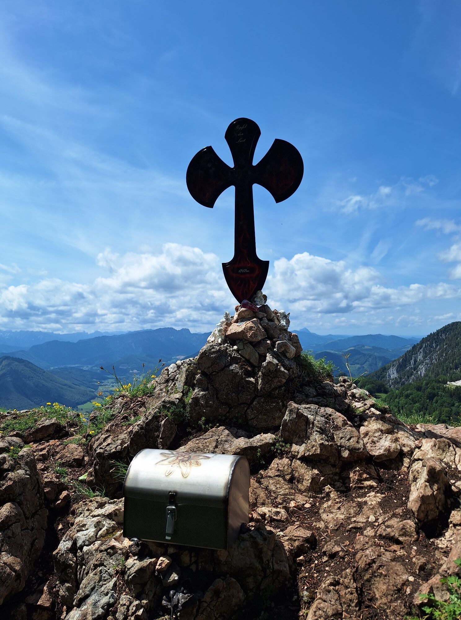
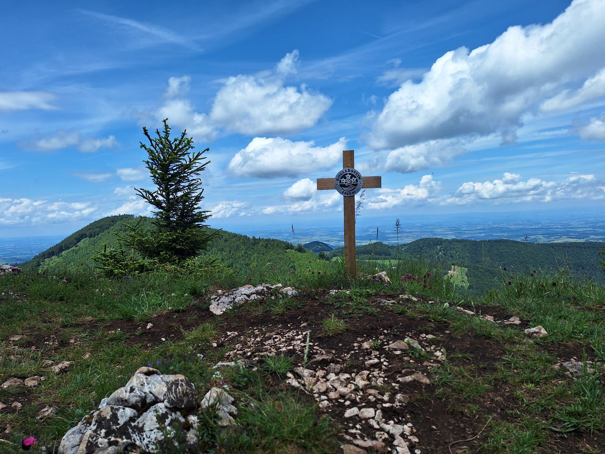
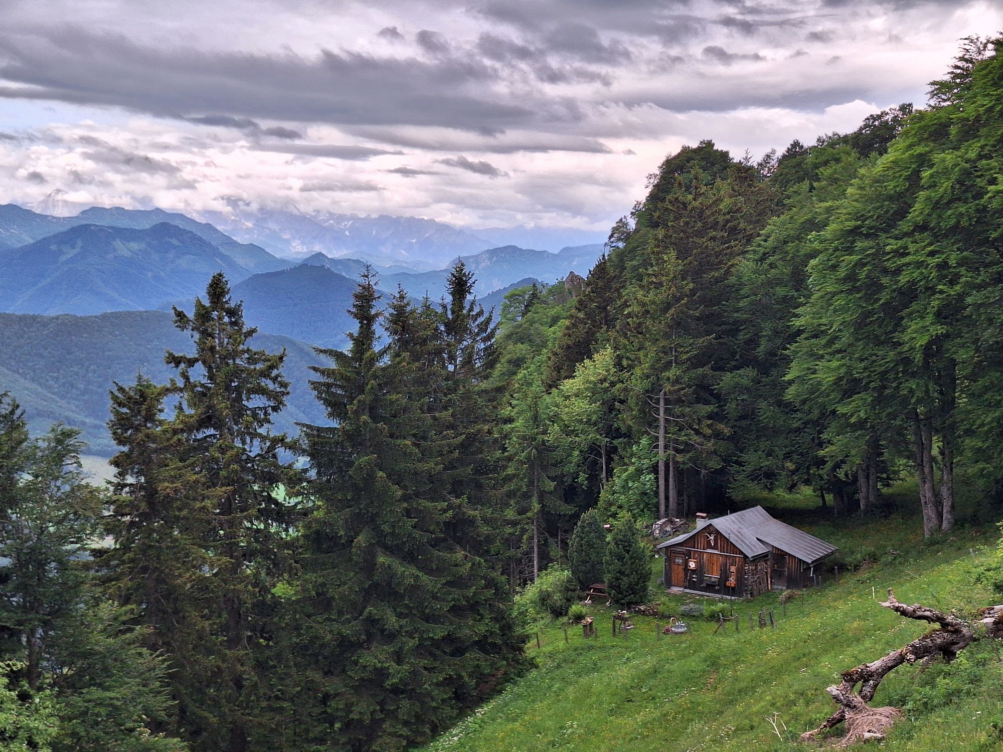
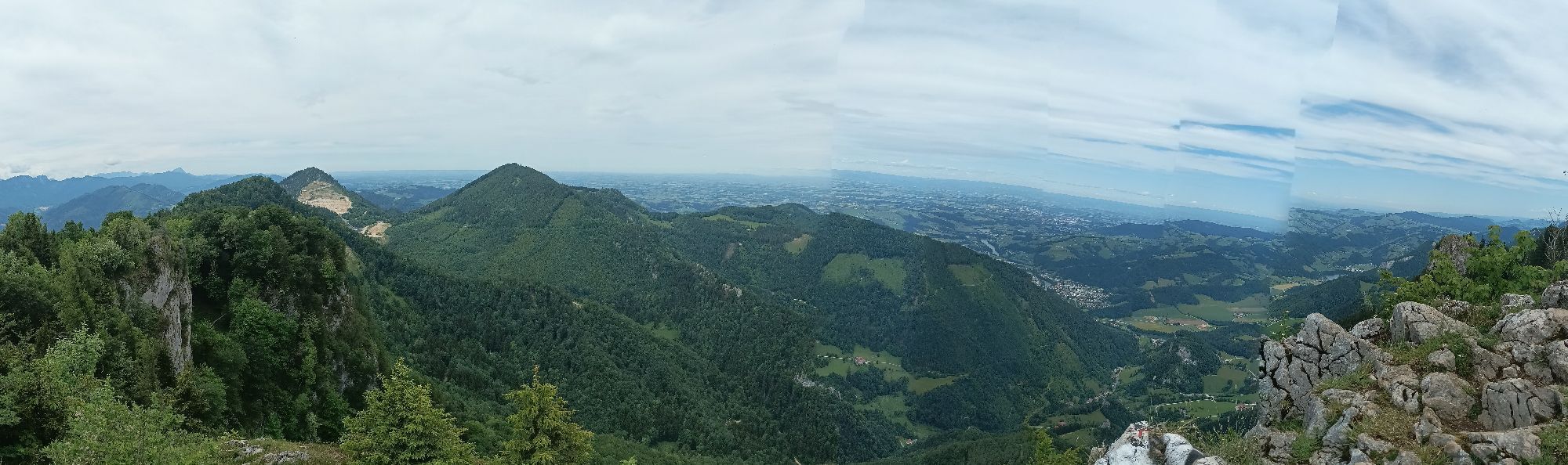
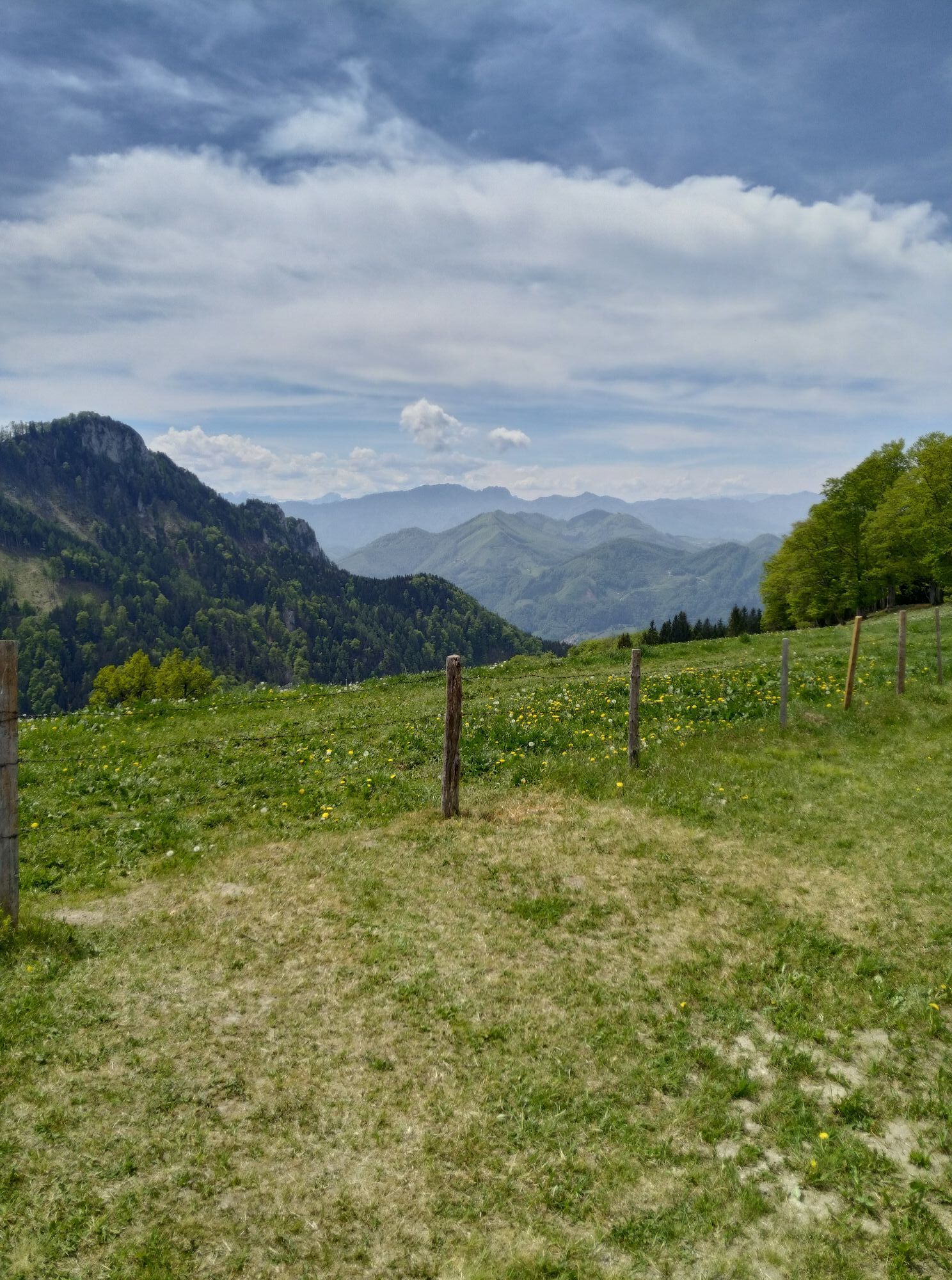
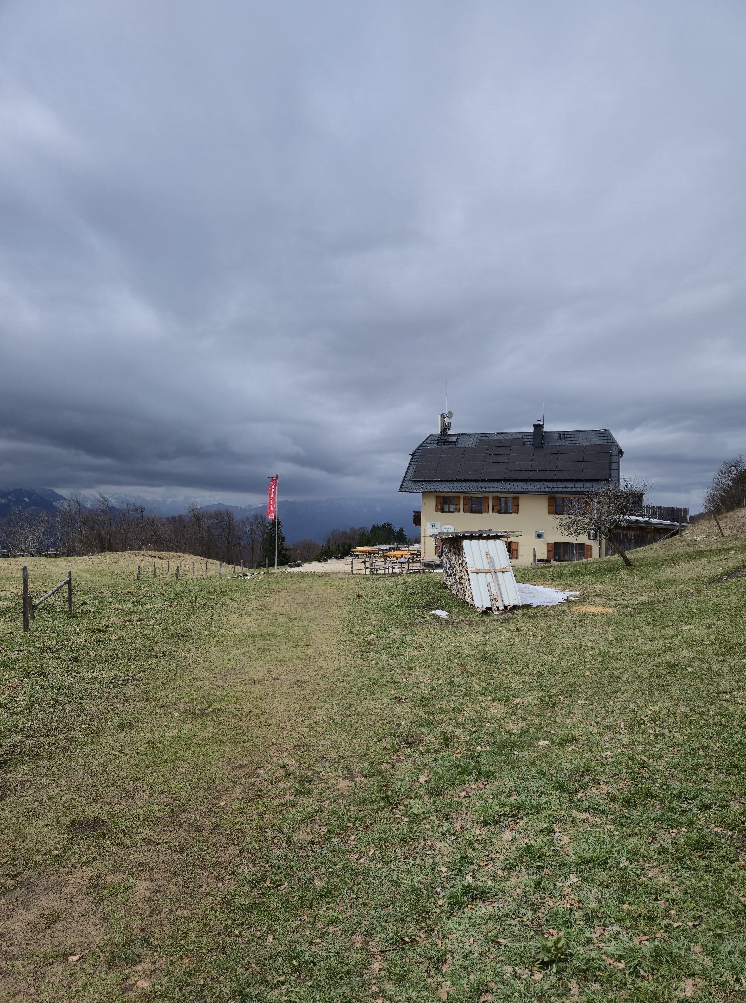
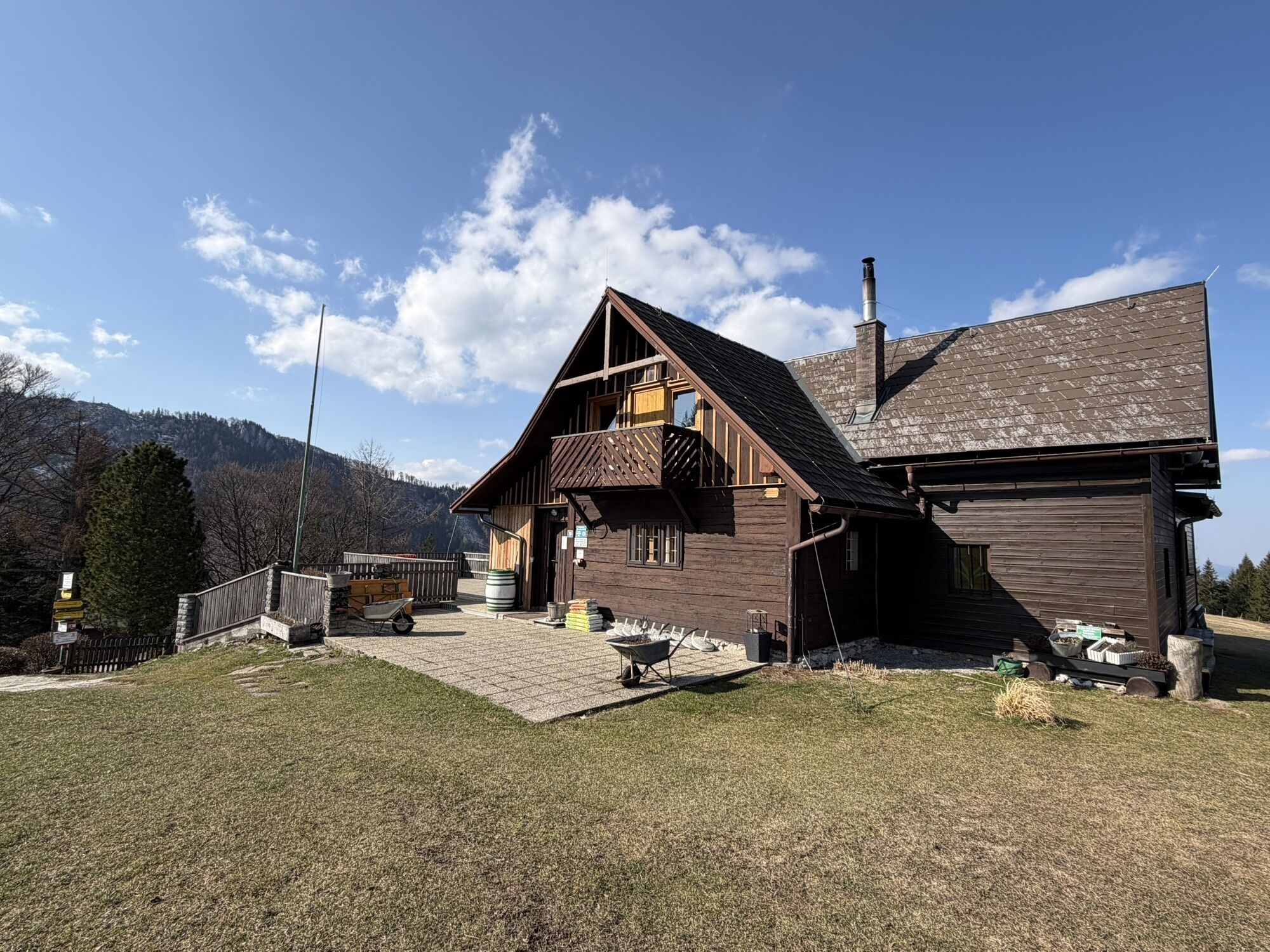
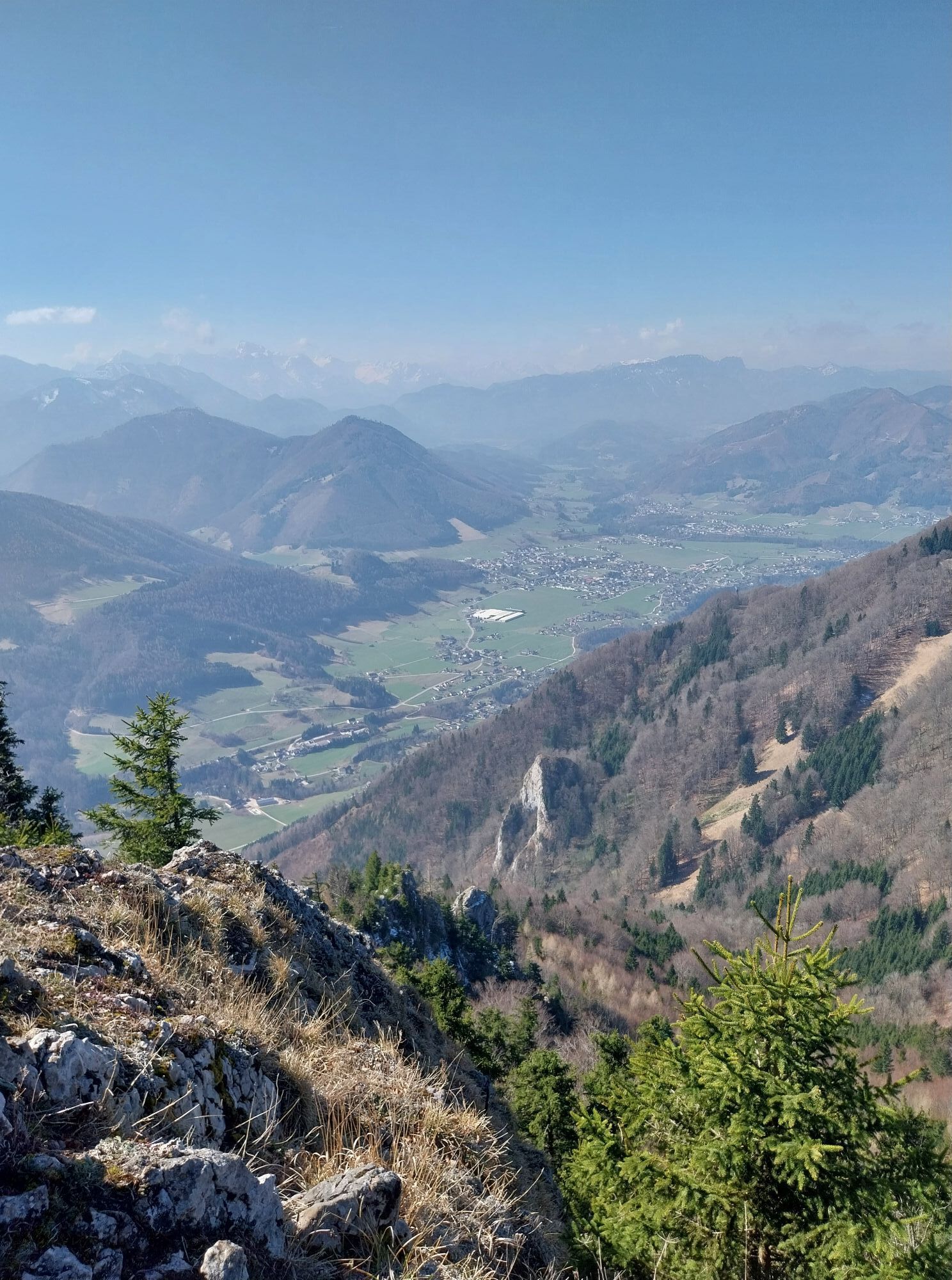
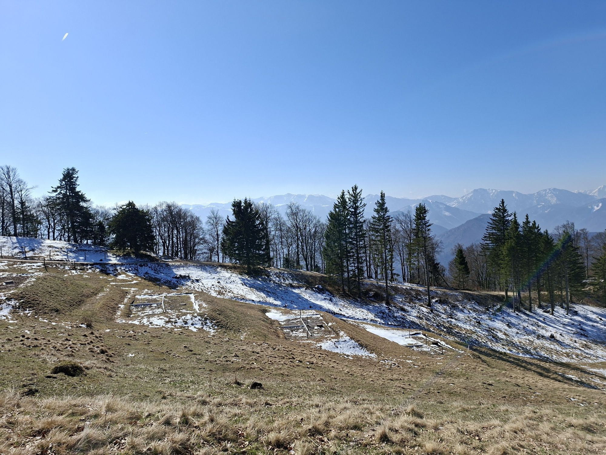
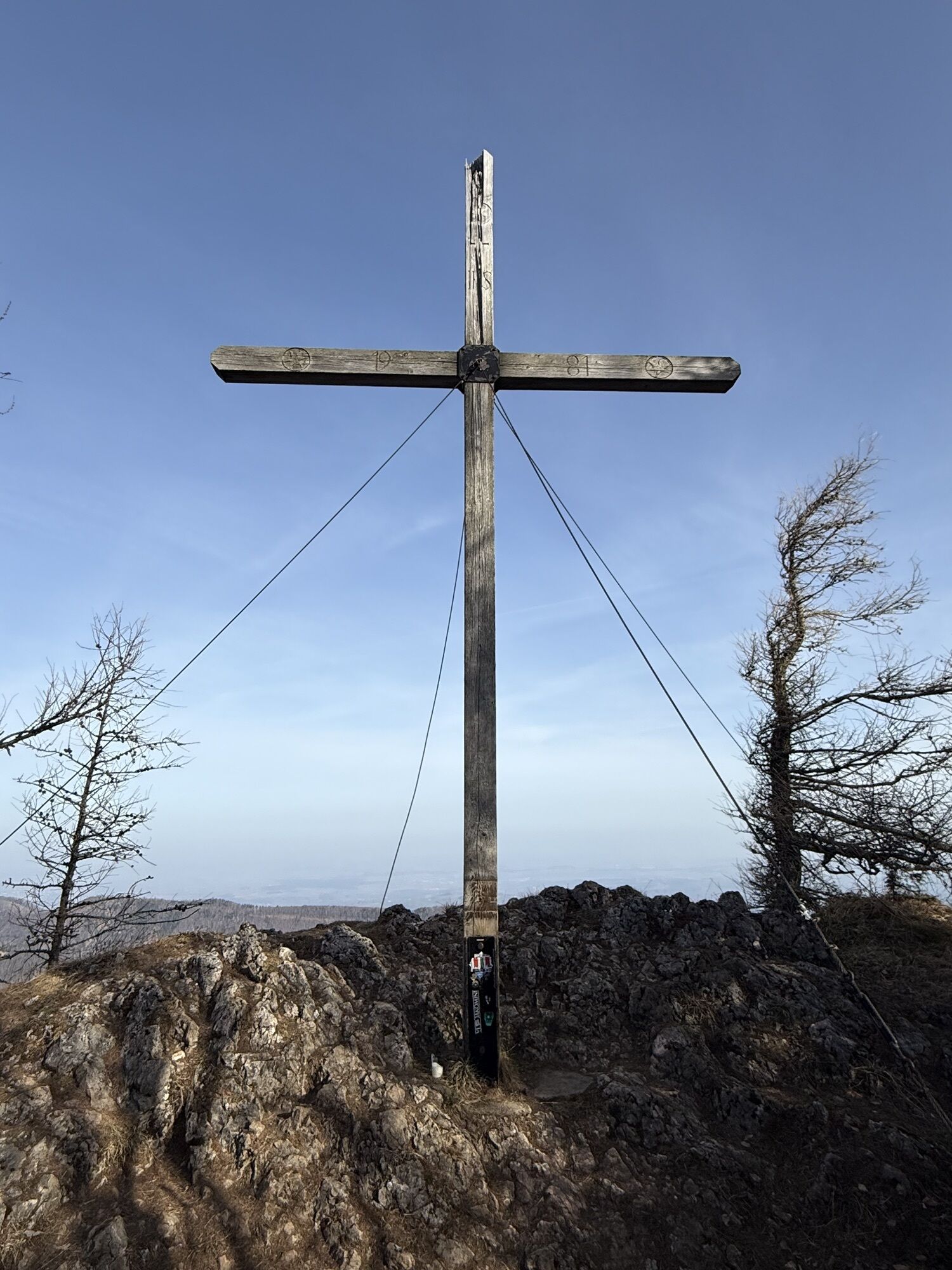
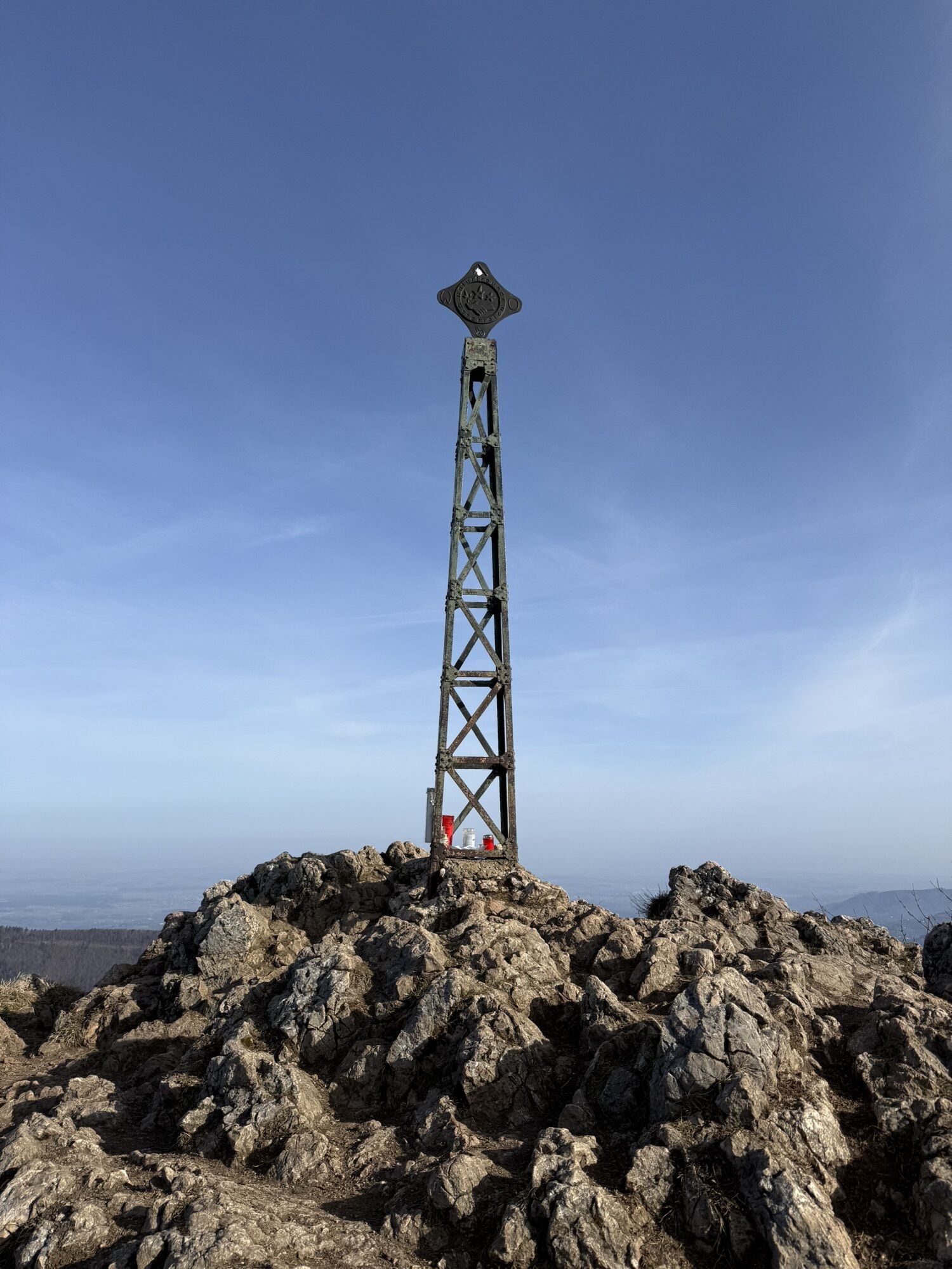
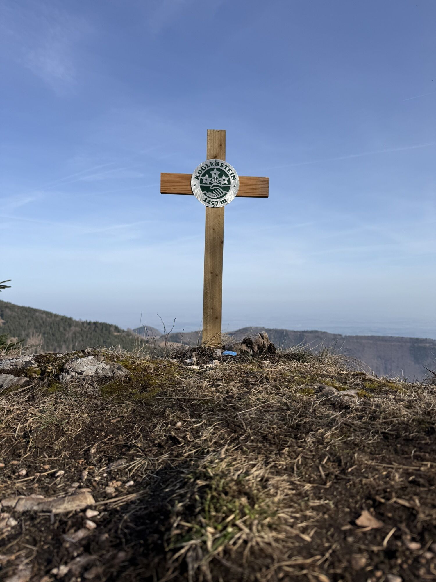
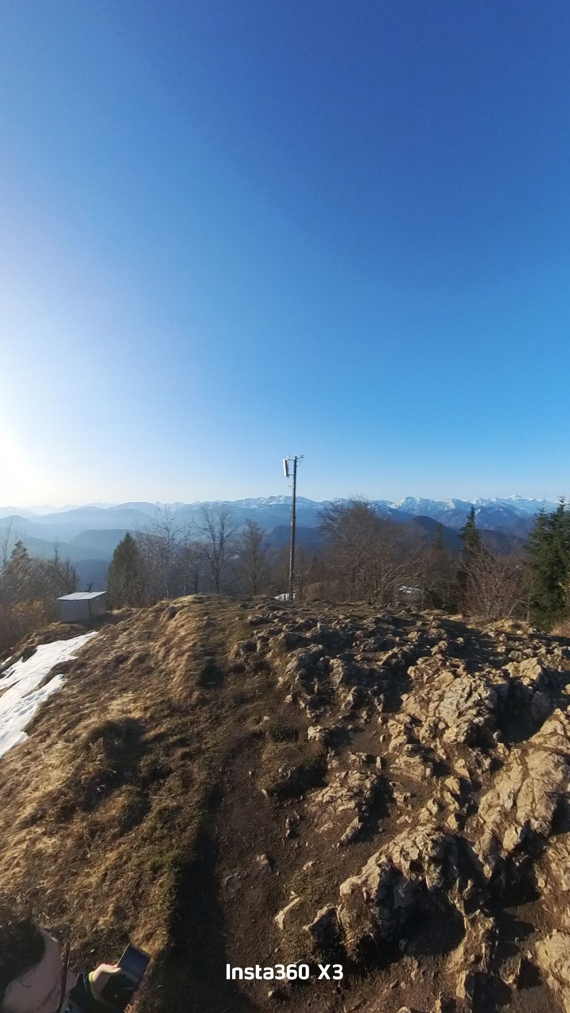
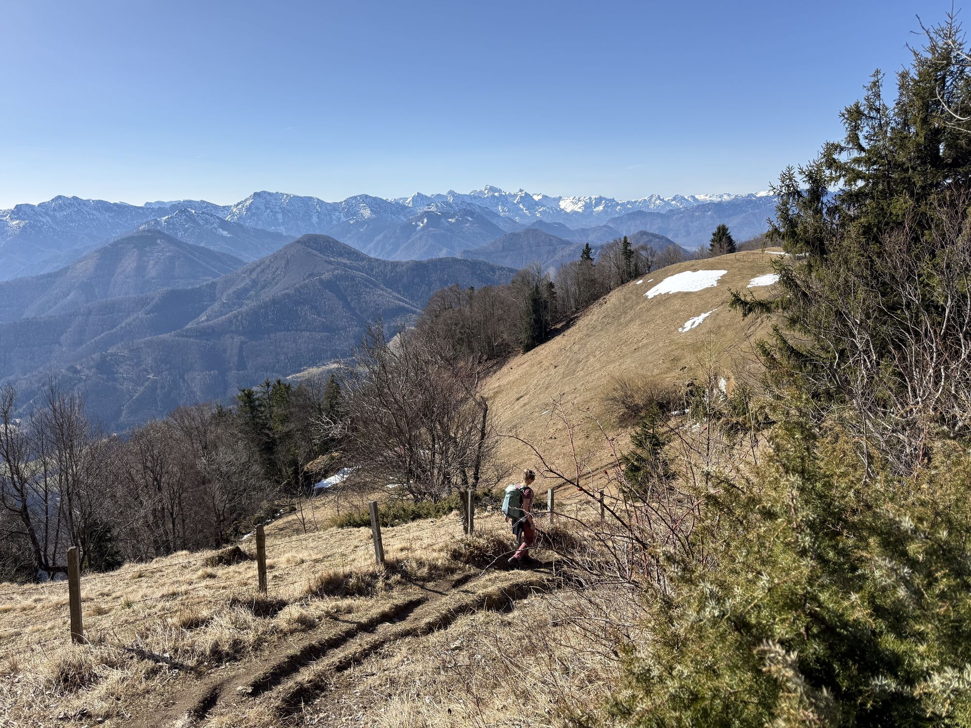
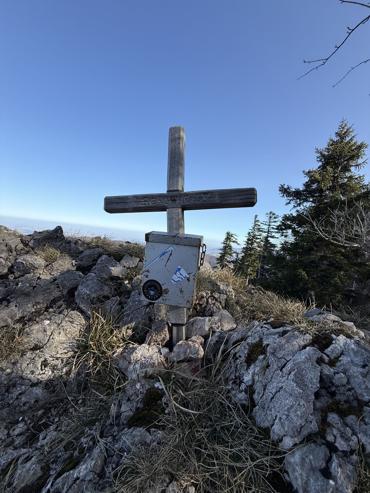
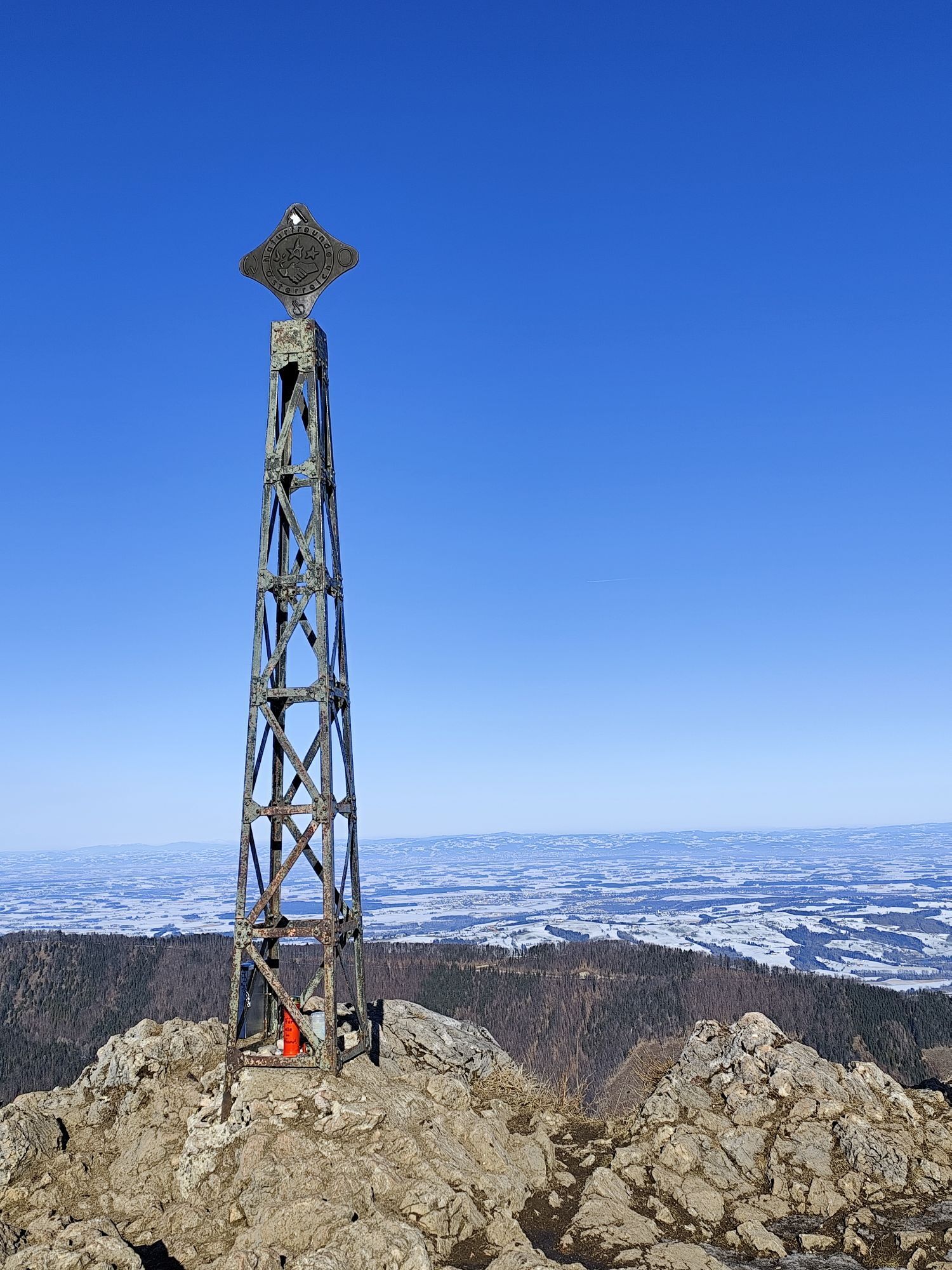
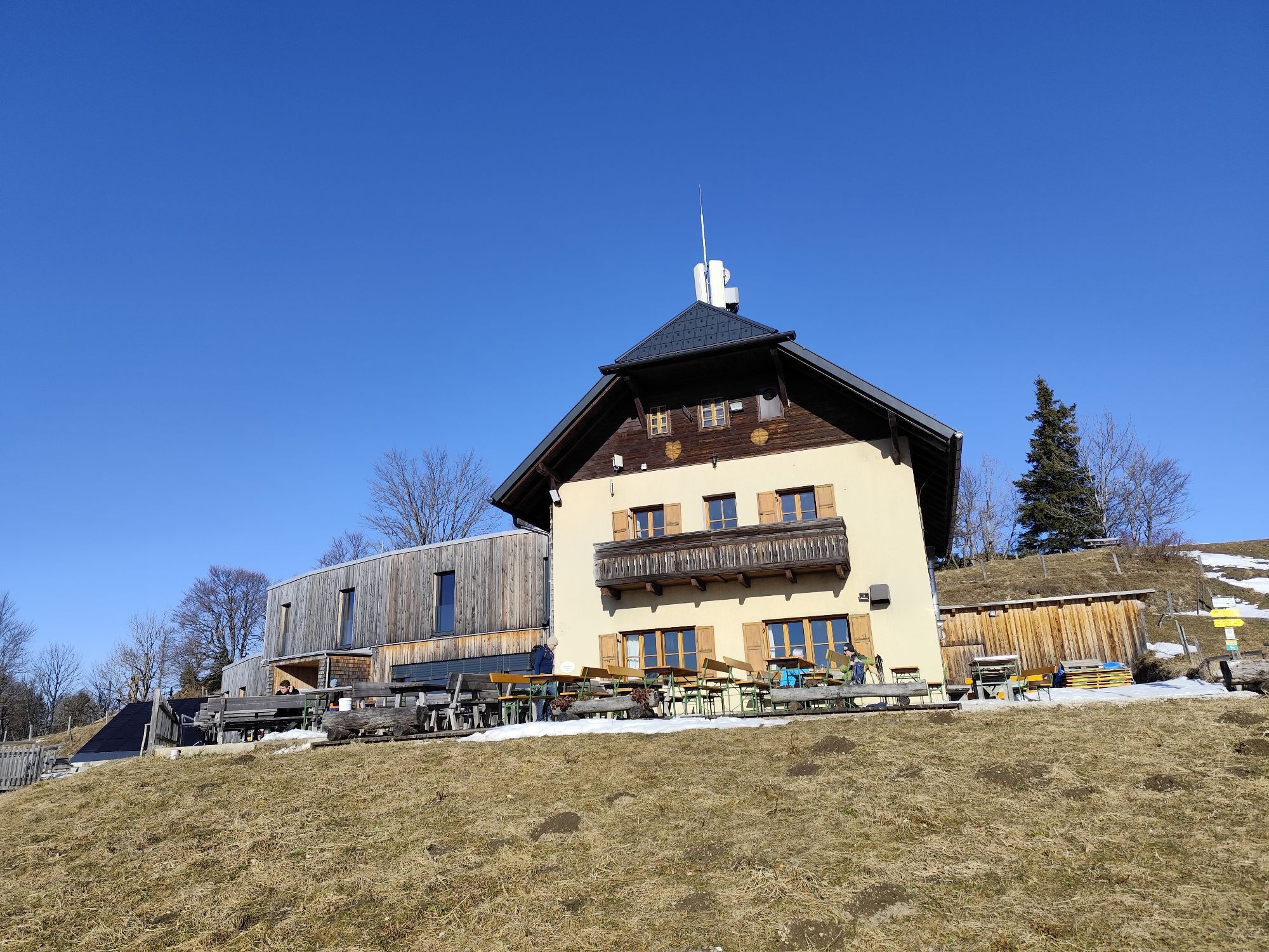



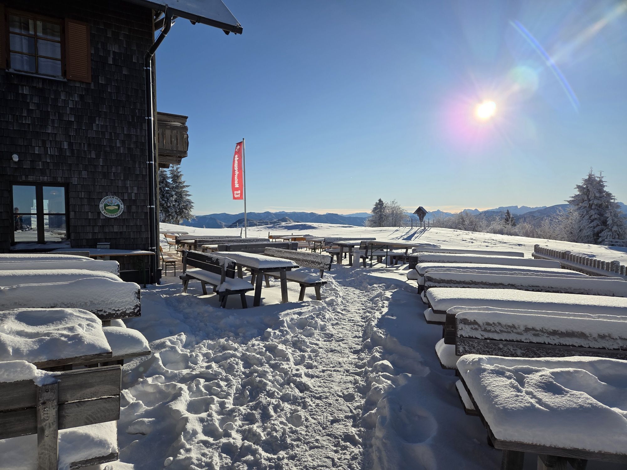

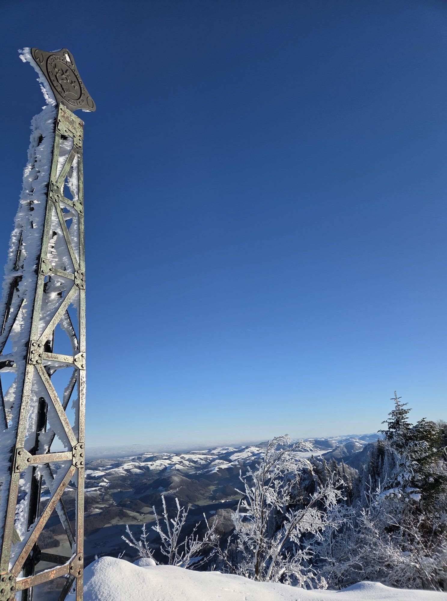


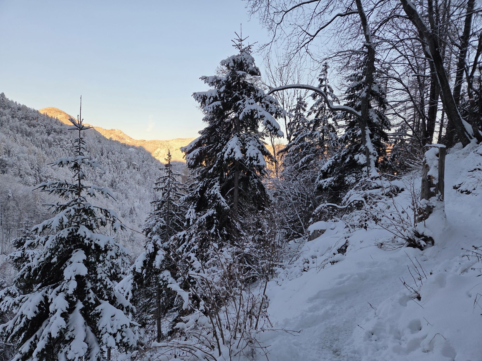
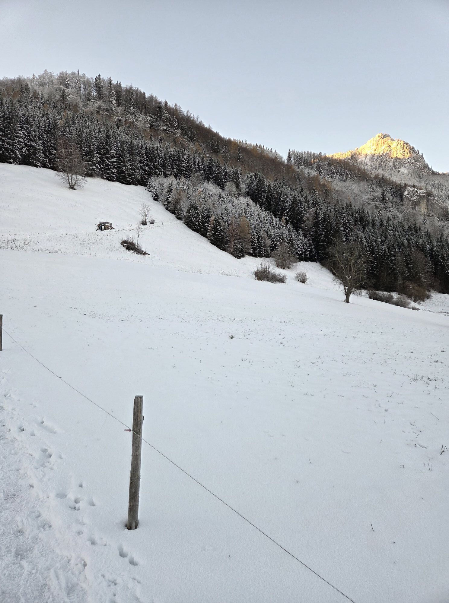

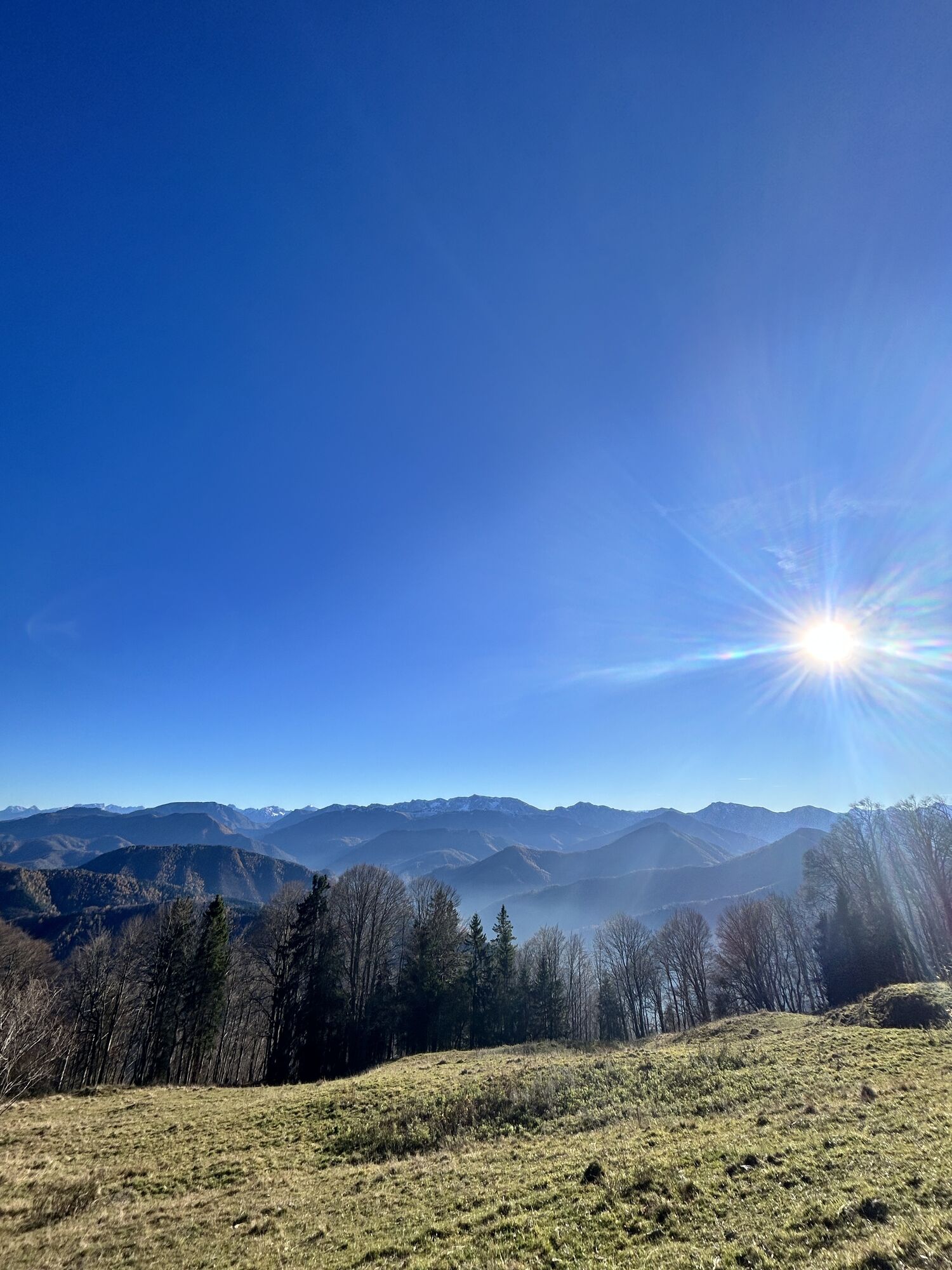
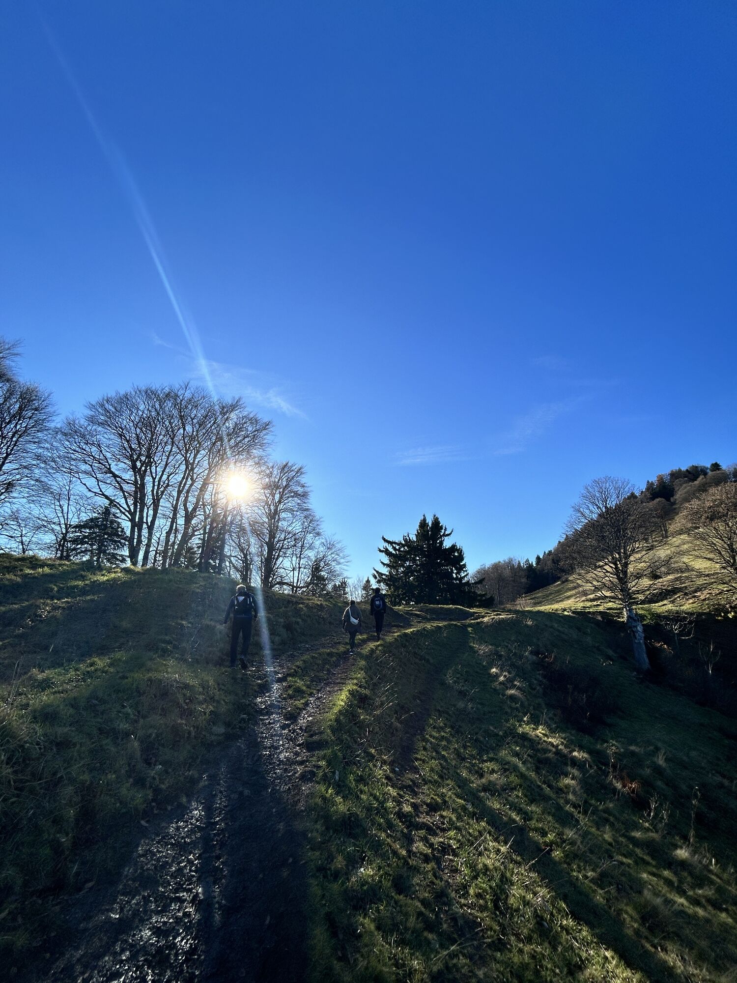
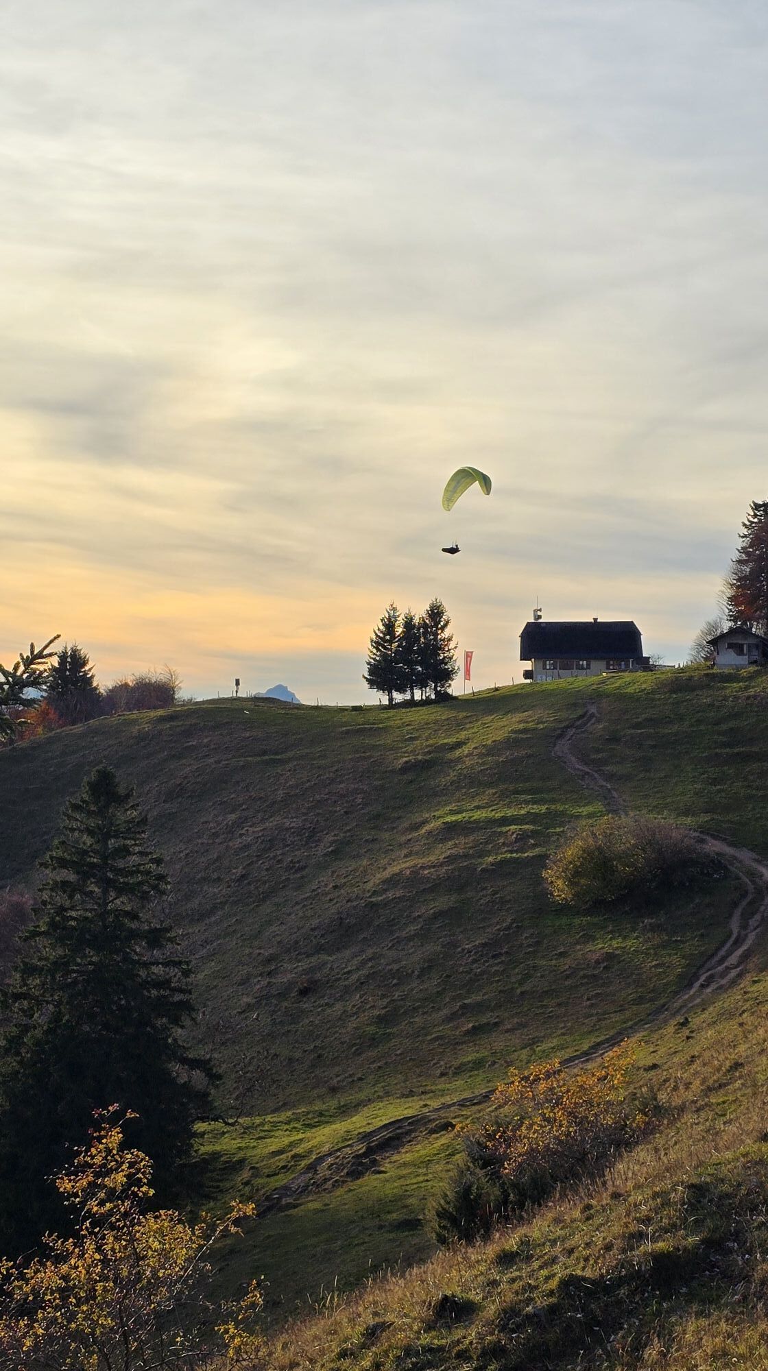

From the Alpengasthof Klausriegler in Trattenbach, this well-marked hiking trail steadily leads uphill to the summit of Schoberstein (1,285 m) and the Schobersteinhaus, then continues to Mandlmais, Pfaffenboden,...
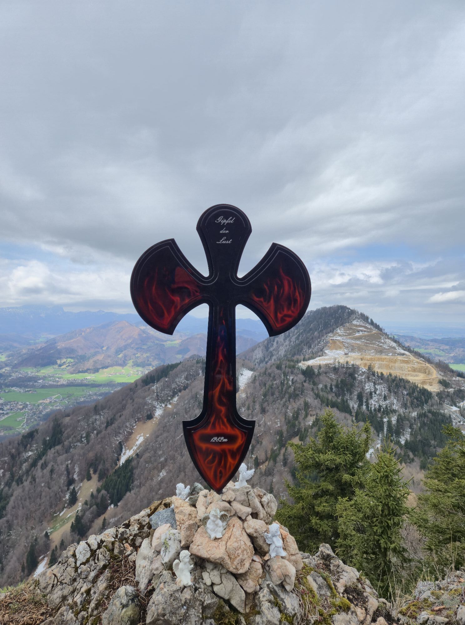
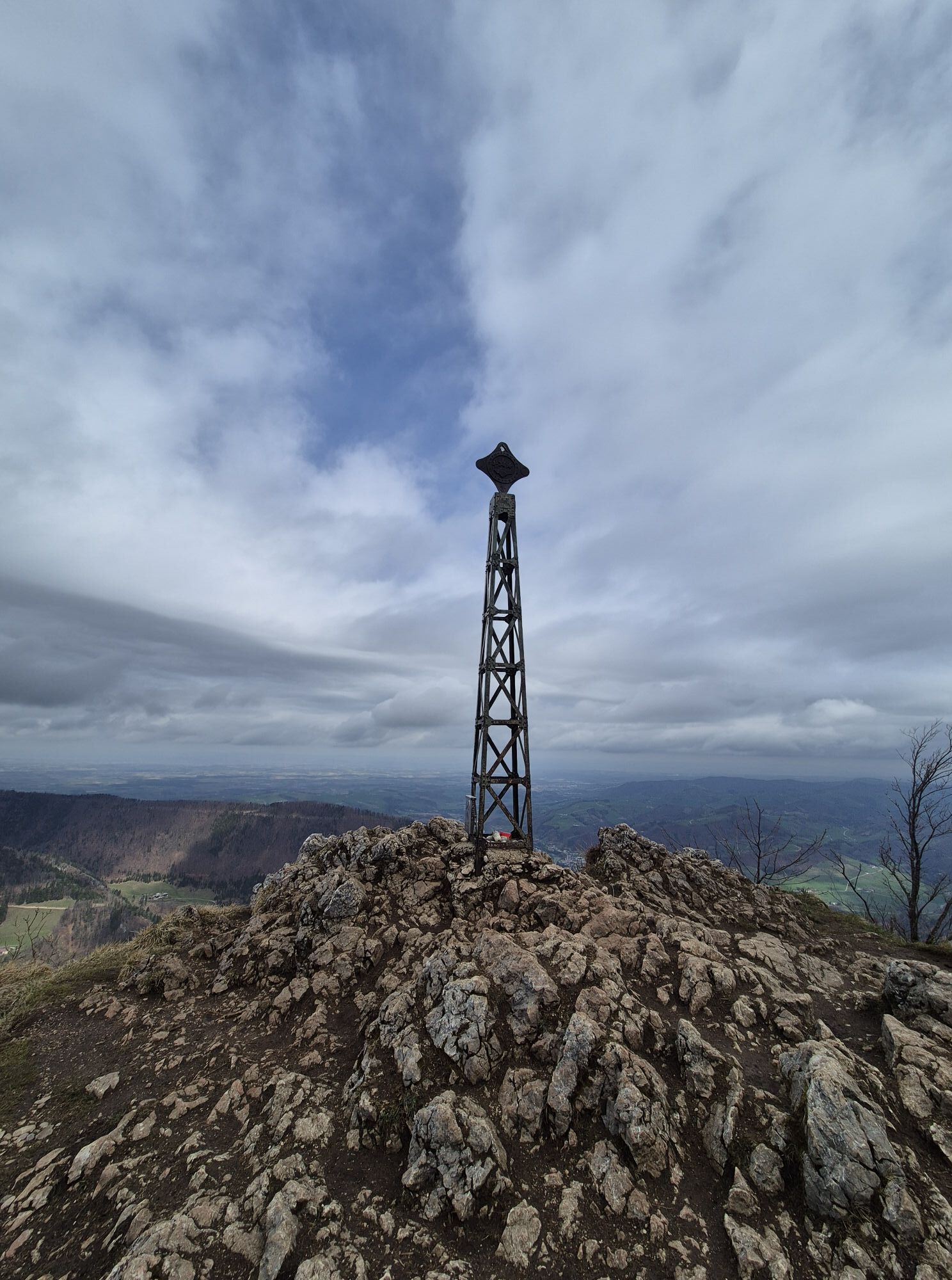
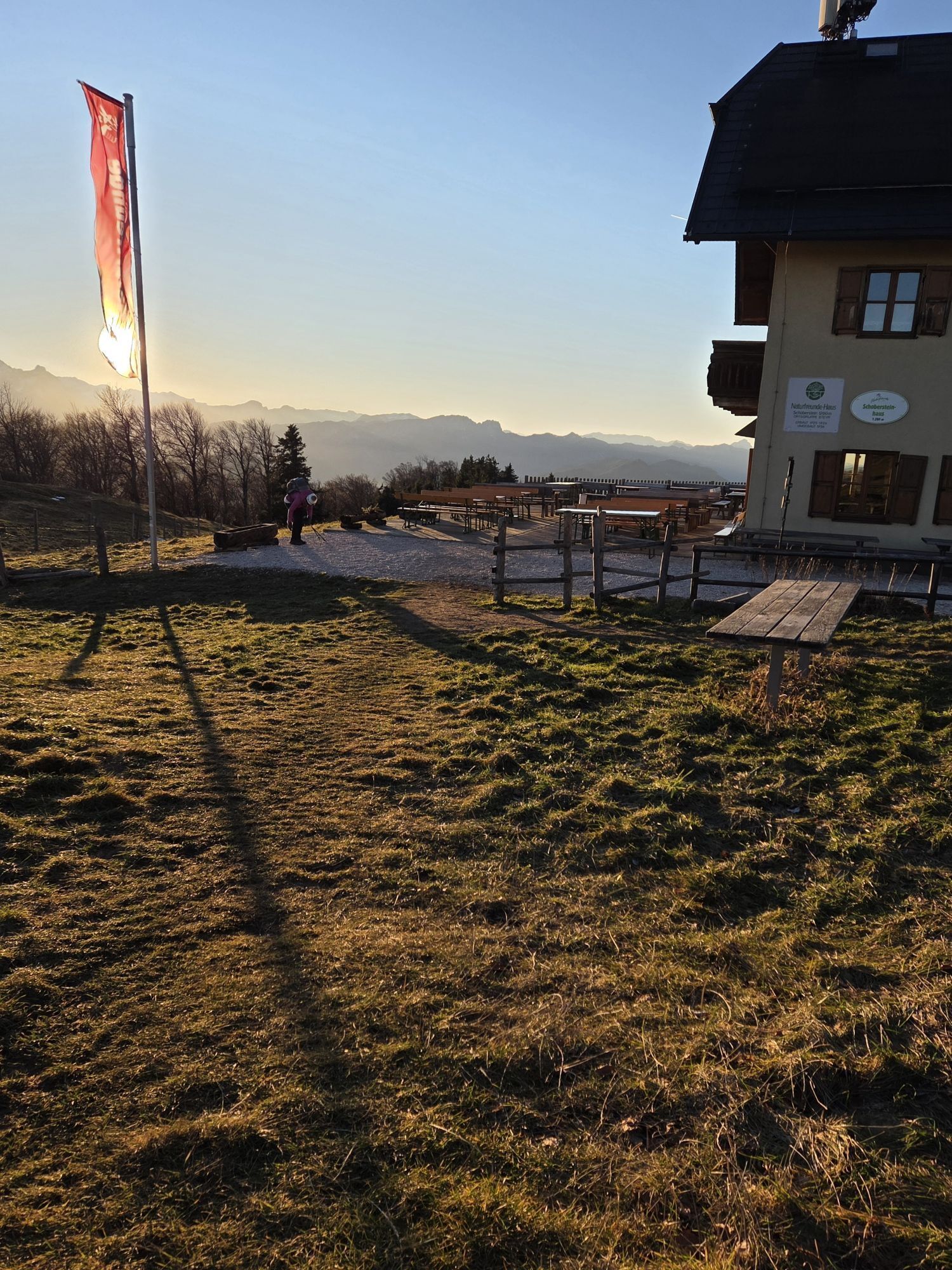
From the Alpengasthof Klausriegler in Trattenbach, this well-marked hiking trail steadily leads uphill to the summit of Schoberstein (1,285 m) and the Schobersteinhaus, then continues to Mandlmais, Pfaffenboden, and the Grünburger Hut.
Variant: For the return route, the variant via Pfaffenboden and Schreibachfall is recommended.
Hiking trail: 481, 482, 483

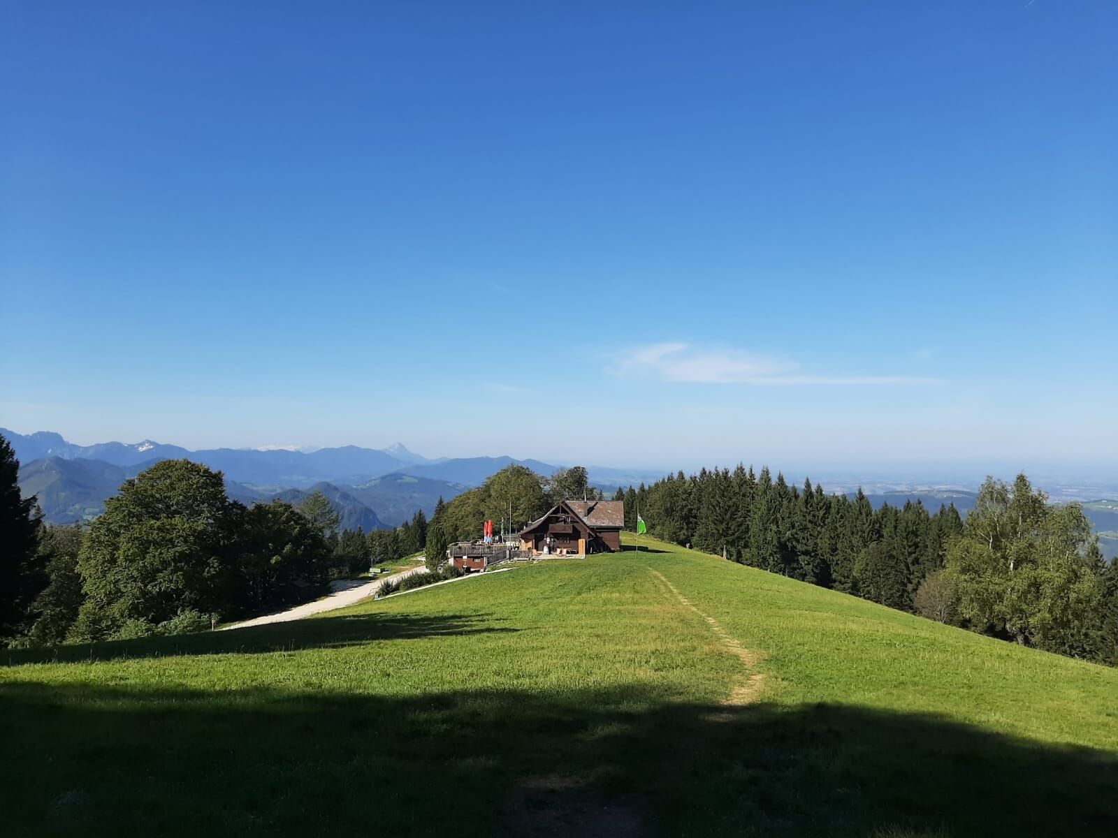
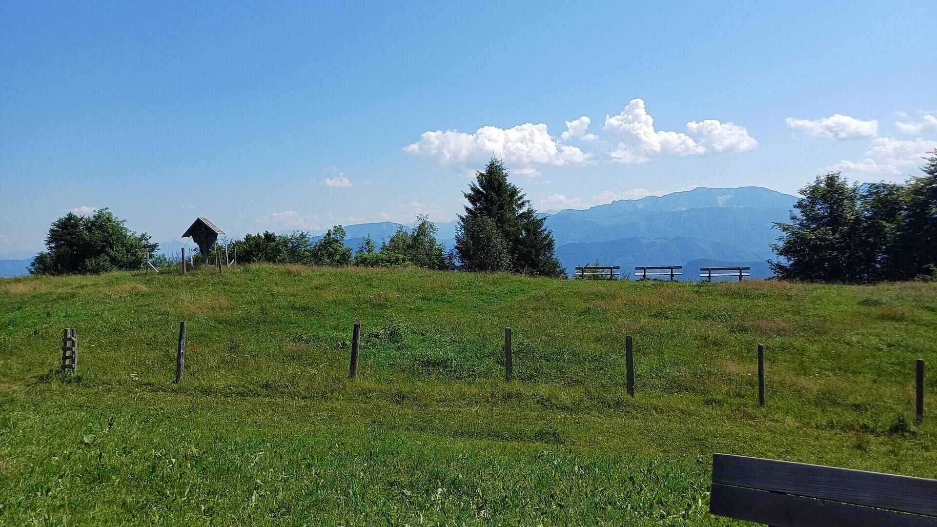


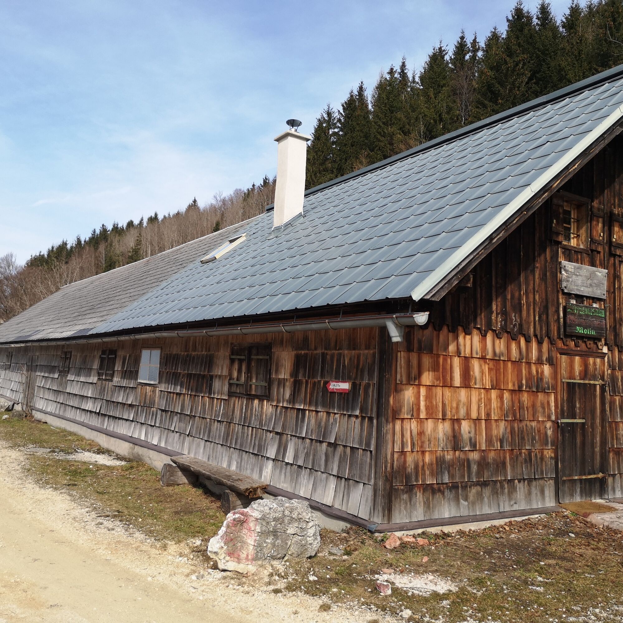


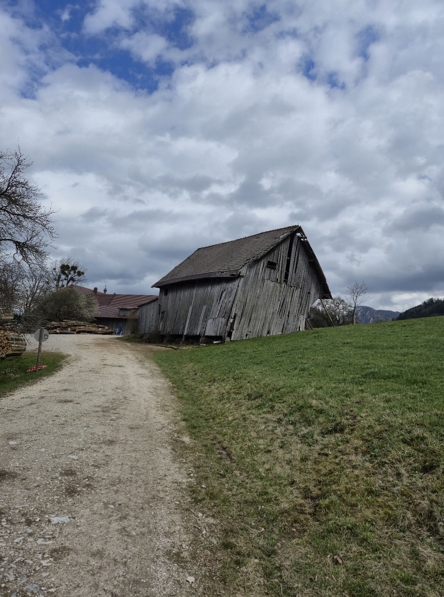
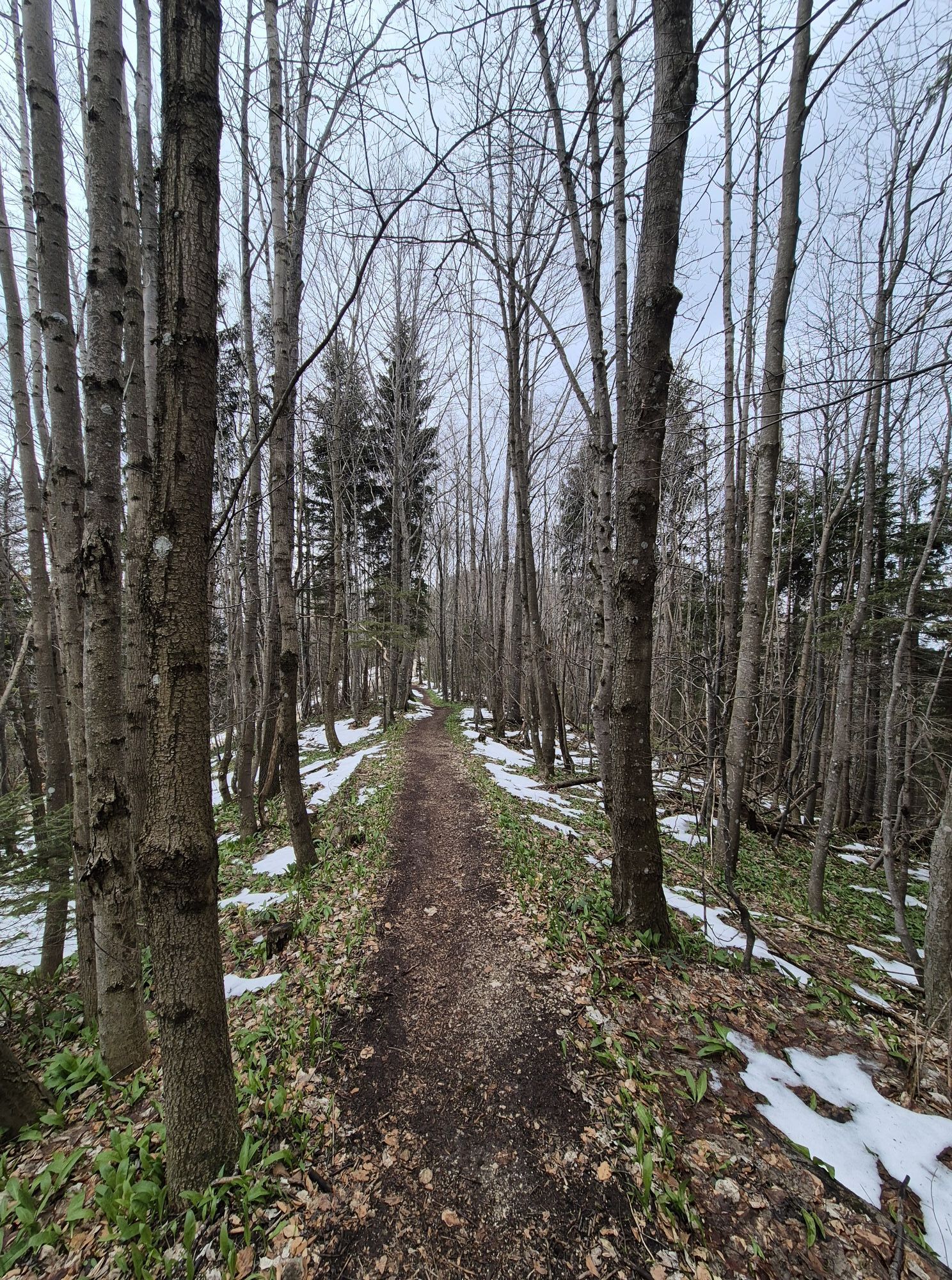
From the Alpengasthof Klausriegler in Trattenbach, this well-marked hiking trail steadily ascends over a pasture, through forests, and then over a high plateau to the summit of Schoberstein (1,285 m). From the Schobersteinhaus it continues over Mandlmais and Pfaffenboden to the Grünburger Hut.
Variants:
From the Alpengasthof Klausriegler, you can also reach Pfaffenboden via the Schreibachfall and continue directly to the Grünburger Hut. This variant is also suitable for the return route. From Schreibachfall continue along trail 480a to Buchberghütte and over Sulzboden (404/409) to the Grünburger Hut. From the valley of the Feitelmacher via the farmhouse Hinterweyrmaier and over Sulzboden (404/409) to the Grünburger Hut.Áno
Áno
Note: At the Alpengasthof Klausriegler a parking fee (currently €2.50) must be paid. When consuming, you get a token to exit.
From Vienna: A1 motorway exit Haag > B42 > B122 > B115 into the Enns Valley
From Passau: A8 Passau > Wels > A1 motorway exit Enns-Steyr > B115 into the Enns Valley
From Graz: A9 Pyhrnautobahn > motorway exit Klaus > Grünburg > into the Ennstal valley
Details at www.ooevv.at
Railway Stations are located in Steyr, Garsten, Lahrndorf, Dürnbach, Ternberg, Trattenbach, Losenstein, Reichraming, Großraming, Gaflenz, Weyer, Küpfern, Kastenreith, Kleinreifling and Weißenbach-St. Gallen.
Trattenbach/Alpengasthof Klausriegler - parking fee applies, but you receive a token for the exit upon consumption.
Získajte prehľad
Vždy naživo na mieste s viac ako 9 500 webovými kamerami. bergfex Ako používateľ Pro si teraz môžete pozrieť príslušné webové kamery pre mnohé zájazdy v aplikácii zájazdy z. Môžete si tak priamo prezerať aktuálne podmienky.
Aktivity počas prehliadky
-

Ternberg, Oberösterreich/Österreich
18.04.2026 – Turistika -

Ternberg, Oberösterreich/Österreich
23.01.2026 – Horská turistika -

Ternberg, Oberösterreich/Österreich
16.01.2026 – Turistika -

Schoberstein mit der neuen Samsung Watch 5 Pro
10.12.2025 – Turistika -

Ternberg, Oberösterreich/Österreich
15.08.2025 – Turistika -

Ternberg Wandern
26.12.2024 – Horská turistika -
Ternberg Wandern
24.11.2024 – Horská turistika -

Schoberstein
19.10.2024 – Turistika -
Ternberg Wandern
24.07.2024 – Horská turistika -
Ternberg Wandern
12.06.2024 – Horská turistika -
Ternberg Wandern
27.04.2024 – Horská turistika
Obľúbené výlety v okolí
-
4,7
Bergwanderung auf den Spering
strednáTuristika 7,50 km -
4,7
Grünburger Hut via Dorngraben Molln
strednáTuristika 3,43 km -
4,6
Schoberstein (from Molln)
strednáTuristika 3,63 km -
4,8
Steinerner Jäger (1185m) und Schieferstein (1206m) ab Parkplatz Hochhabichler
strednáTuristika 4,46 km -
4,6
Dürres Eck - Gaisberg - Hochbuchberg
strednáTuristika 11,2 km -
4,5
Rinnende Mauer - Gorge Trail
strednáTuristika 7,20 km -
4,7
Steinerner Jäger (1185m) und Schieferstein (1206m) ab Parkplatz Hack
ťažkéTuristika 8,58 km -
4,6
Pfaffenmauer - Schoberstein - Gipfel der Lust Gasthof Klausriegler, Oberösterreich/Österreich
strednáTuristika 9,72 km -
4,2
Rinnerberger Waterfall - Gorge
strednáTuristika 7,55 km -
4,4
Ternberg -Schoberstein
strednáTuristika 6,60 km
Turistika a stopovanie


Nenechajte si ujsť ponuky a inšpiráciu na ďalšiu dovolenku
Vaša e-mailová adresa bol pridaný do poštového zoznamu.





