







Rapoldeck - Panorama trail & ridge trail
From the marketplace, the path leads to the parish church, to the Pöller junction, and to the transmitter. It then continues over the Loibnerwiese to a hunting lodge and at the end of the road near Schrabachau,...
From the marketplace, the path leads to the parish church, to the Pöller junction, and to the transmitter. It then continues over the Loibnerwiese to a hunting lodge and at the end of the road near Schrabachau, the path climbs a bit steeper up to the ridge. To the right lies Schrabachauer Kogel (1,321m) and to the left Rapoldeck (1,195m). Over the ridge, it returns to Weyer.
Hiking trail: E84, E21



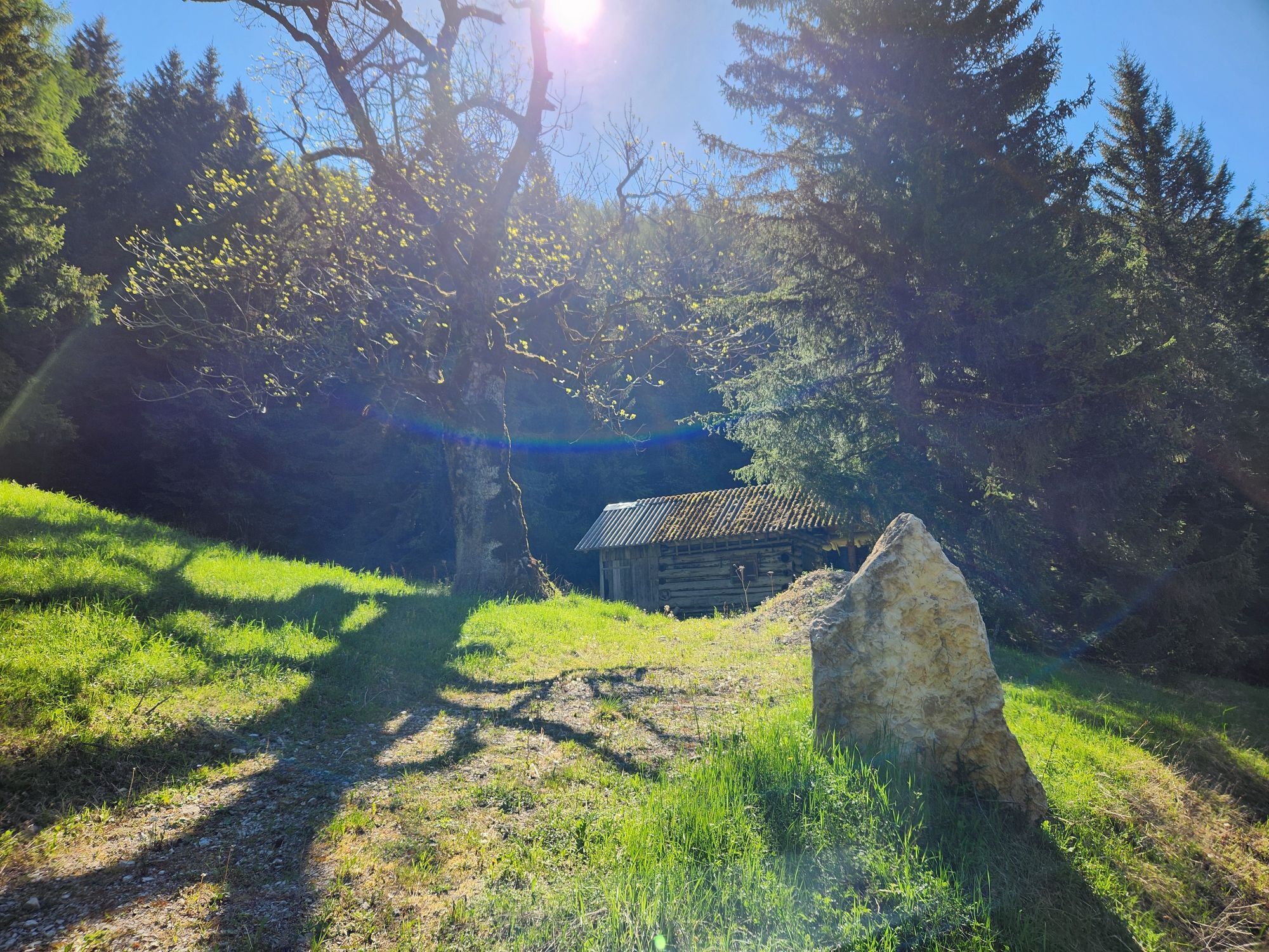
The path leads from the marketplace, past the former Hotel Post up to the parish church and further to the Pöller junction and on Schroff Street to the hairpin near the transmitter. The path then continues over the Loibnerwiese to a hunting lodge. At the end of the road near Schrabachau, the path climbs a bit steeper over the meadow to the ridge.
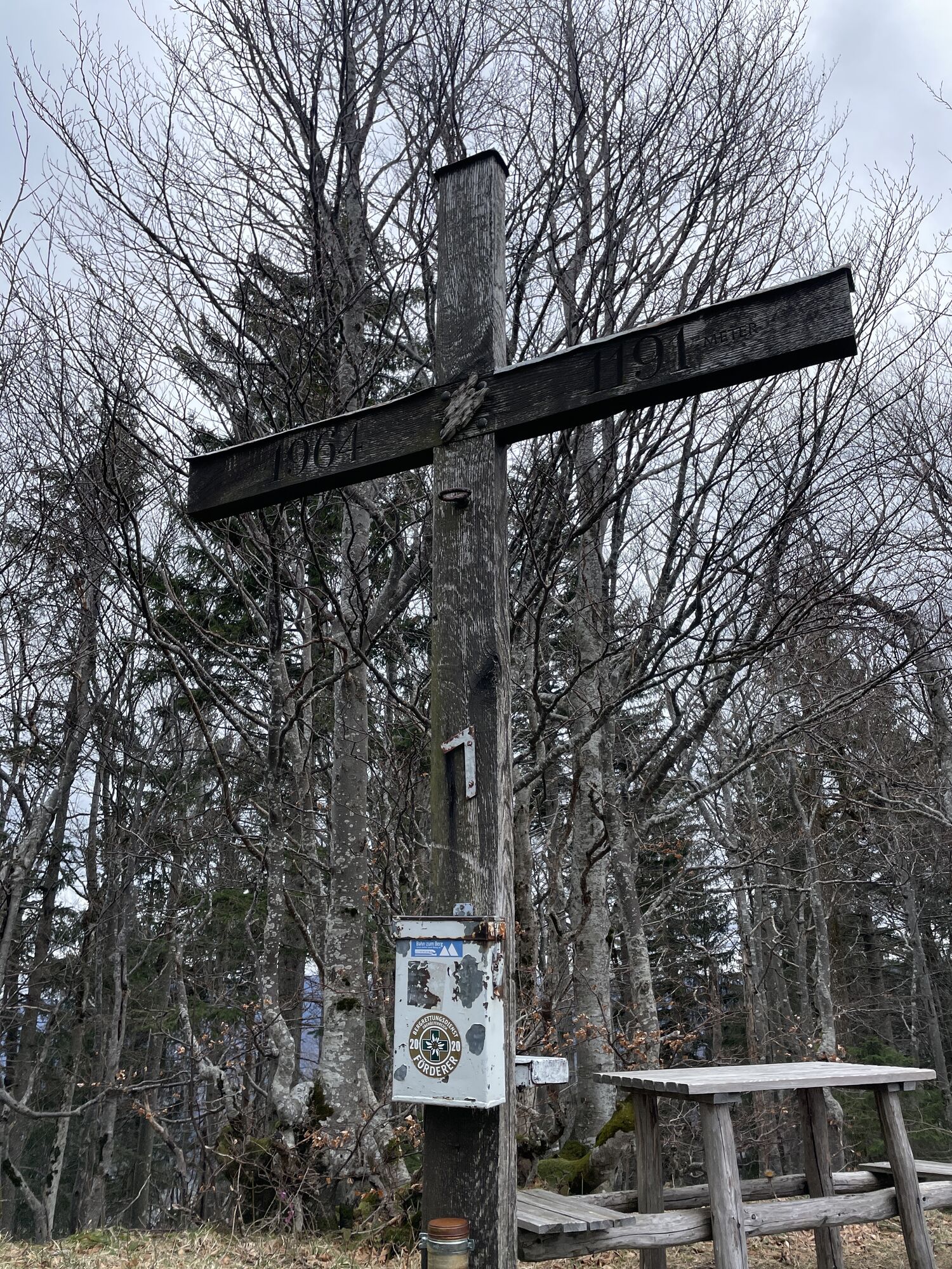
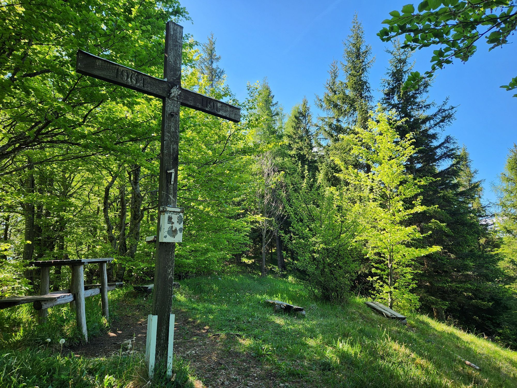
On the ridge, it goes right to Schrabachauer Kogel (1,321 m) and left to Rapoldeck (1,195 m). The path returns over the summit of Rapoldeck back to Weyer.
Áno
From Vienna: A1 motorway exit Haag > B42 > B122 > B115 into the Enns Valley
From Passau: A8 Passau > Wels > A1 motorway exit Enns-Steyr > B115 into the Enns Valley
From Graz: A9 Pyhrnautobahn > motorway exit Klaus > Grünburg > into the Ennstal Valley
Details at www.ooevv.at
Railway Stations are located in Steyr, Garsten, Lahrndorf, Dürnbach, Ternberg, Trattenbach, Losenstein, Reichraming, Großraming, Gaflenz, Weyer, Küpfern, Kastenreith, Kleinreifling and Weißenbach-St. Gallen.
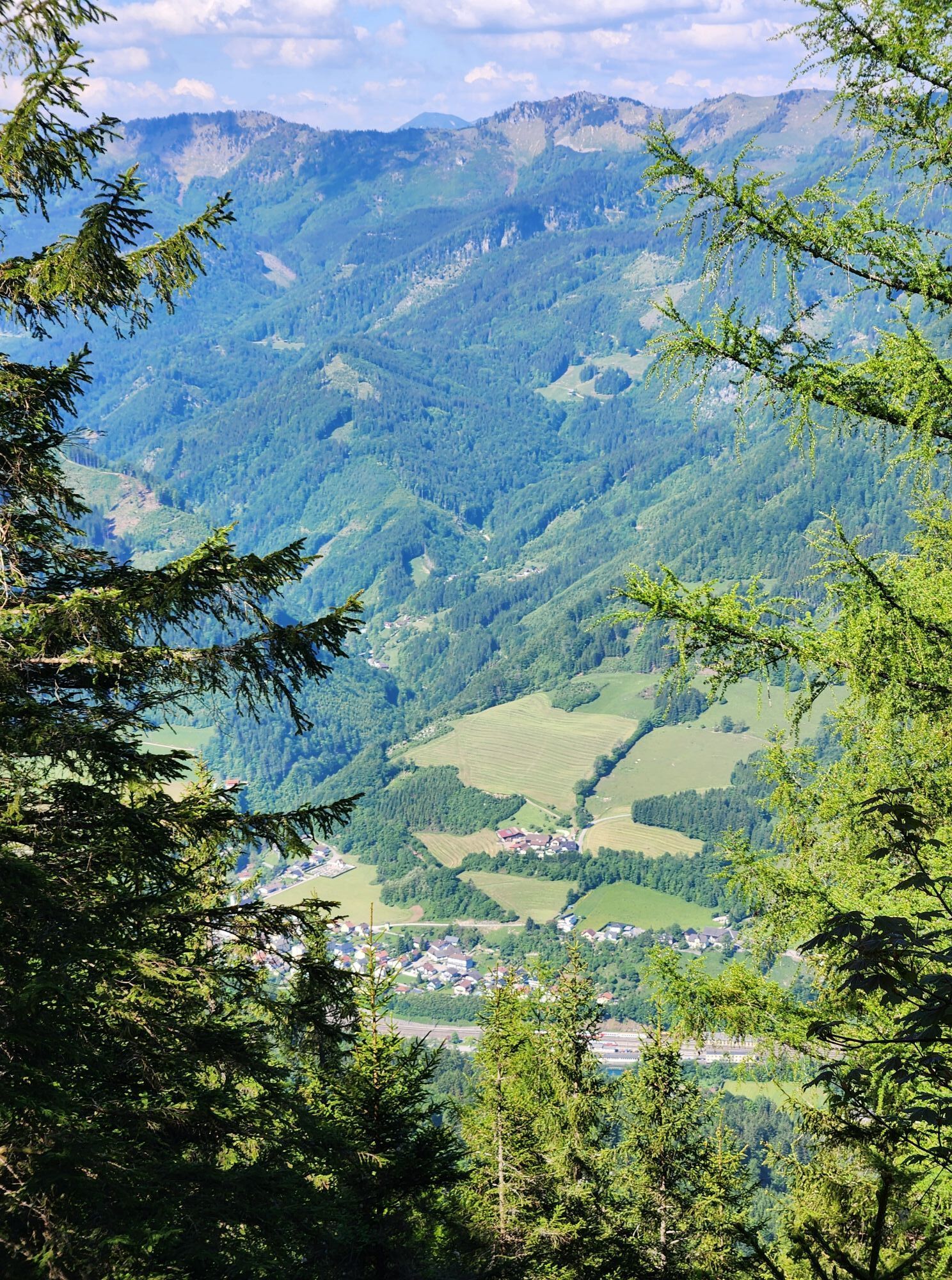
Wonderful panoramic views reward the somewhat strenuous ascent.


Obľúbené výlety v okolí
-
4,9
Ennser Hut - Almkogel (from Bamacher car park)
strednáTuristika 3,53 km -
4,7
Opponitz Gorge Hiking Trail
strednáTuristika 4,42 km -
4,7
GROSSRAMING Bamacher, Burgspitz, Almkogel, Ennshütte 20240730
strednáTuristika 10 km -
4,3
Freithofberg
strednáTuristika 9,15 km -
4,6
Gamsstein (1275m) und Gschwendtalm ab Parkplatz Brunnbach
strednáTuristika 7,37 km -
4,7
MTB - Anlaufalm (über den Hintergebirgsradweg)
strednáMountainbike 51,0 km -
4,4
Kleine Gipfelrunde Glasenberg
svetloTuristika 4,99 km -
4,1
wanderung auf den alpl
strednáTuristika 8,18 km -
3,8
Lindaumauer (1103 m)
Turistika 3,40 km -
4,5
Lindaumauer, Maria Neustift
strednáTuristika 5,53 km
Turistika a stopovanie


Nenechajte si ujsť ponuky a inšpiráciu na ďalšiu dovolenku
Vaša e-mailová adresa bol pridaný do poštového zoznamu.





