


Rotmäuer - Falkenstein - Kreuzberg
Fotografie našich používateľov
-
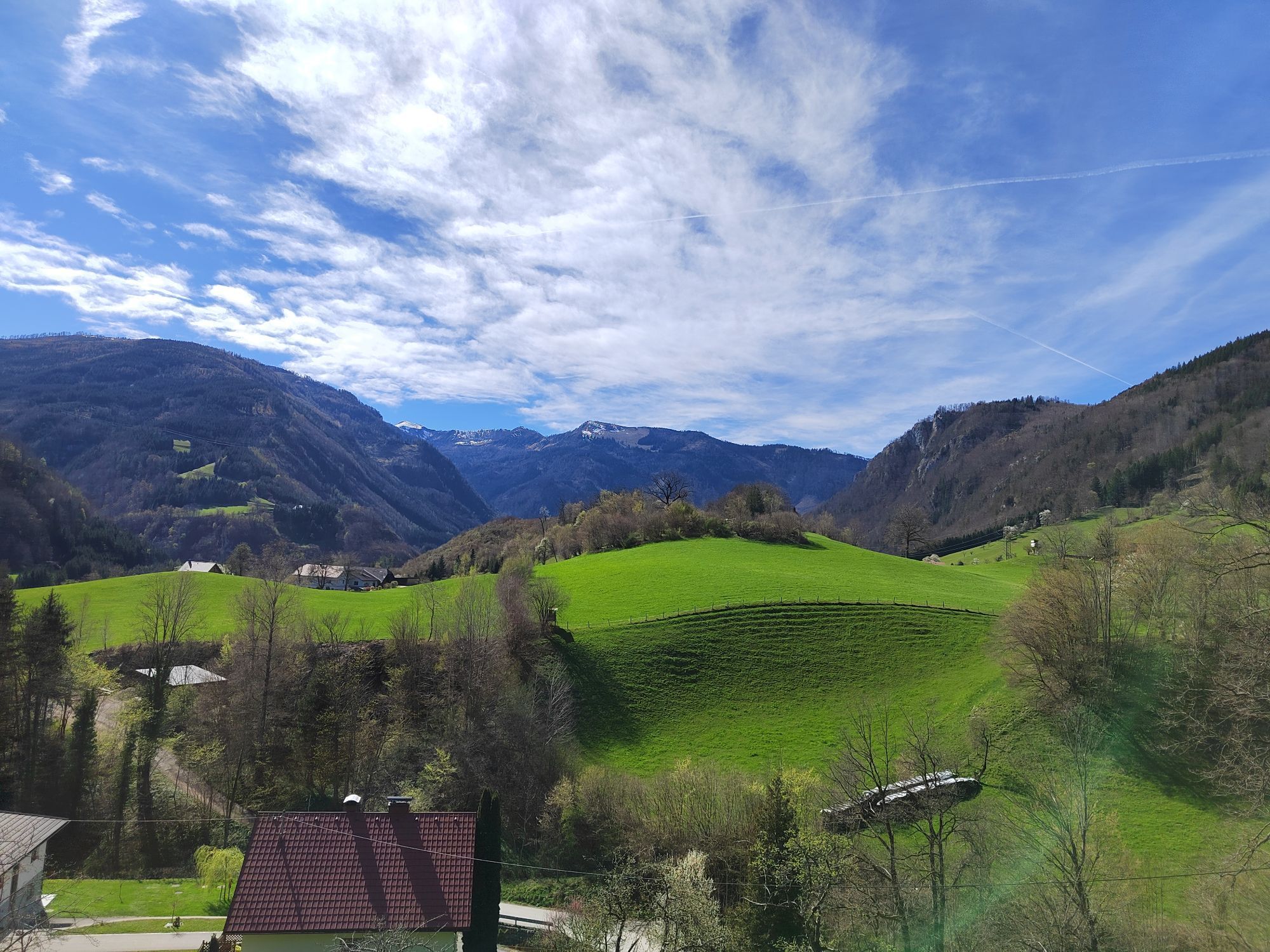
 © Petra RieglerVytvorené dňa 22.04.2026
 -
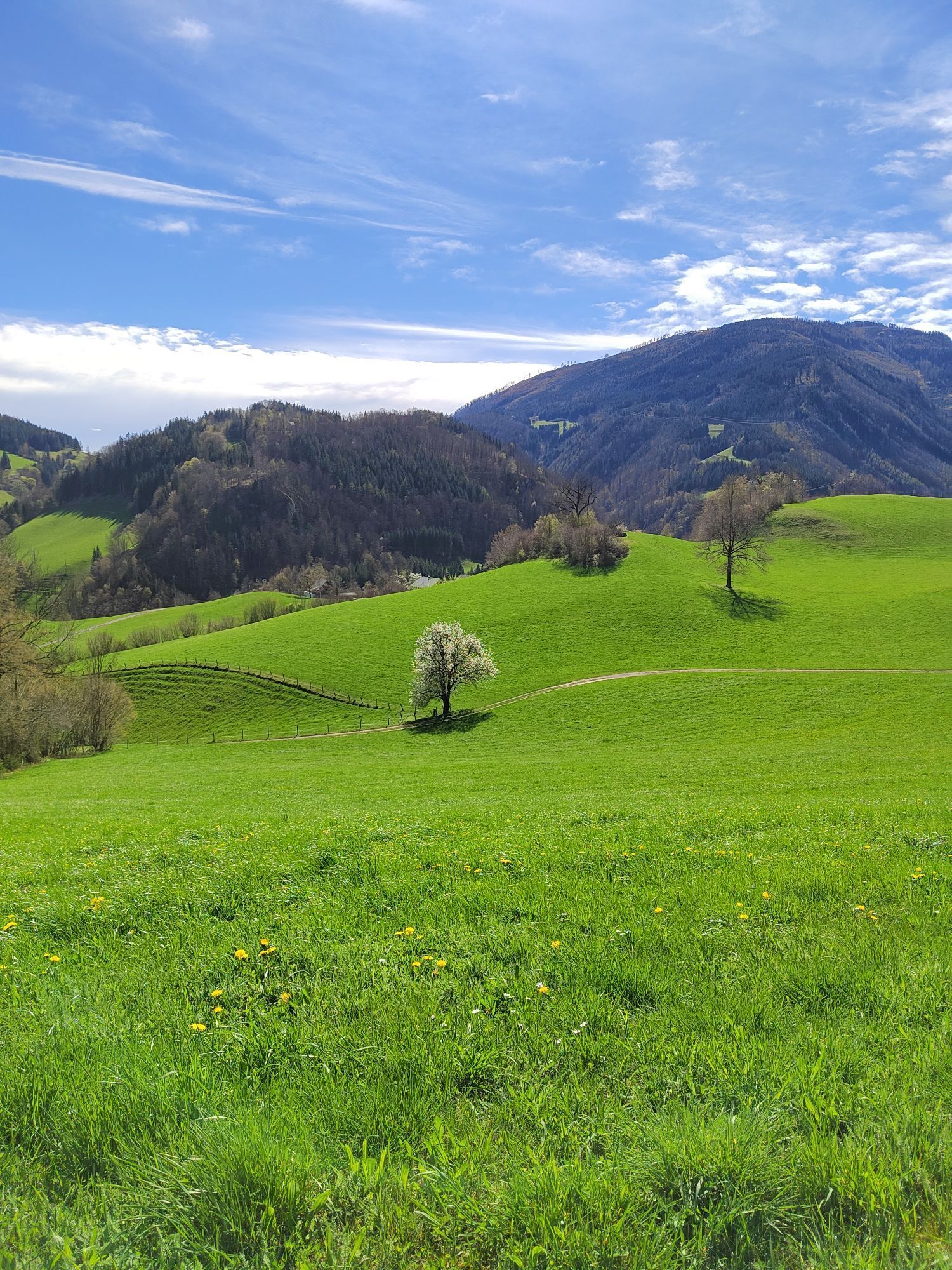
 © Petra RieglerVytvorené dňa 22.04.2026
 -
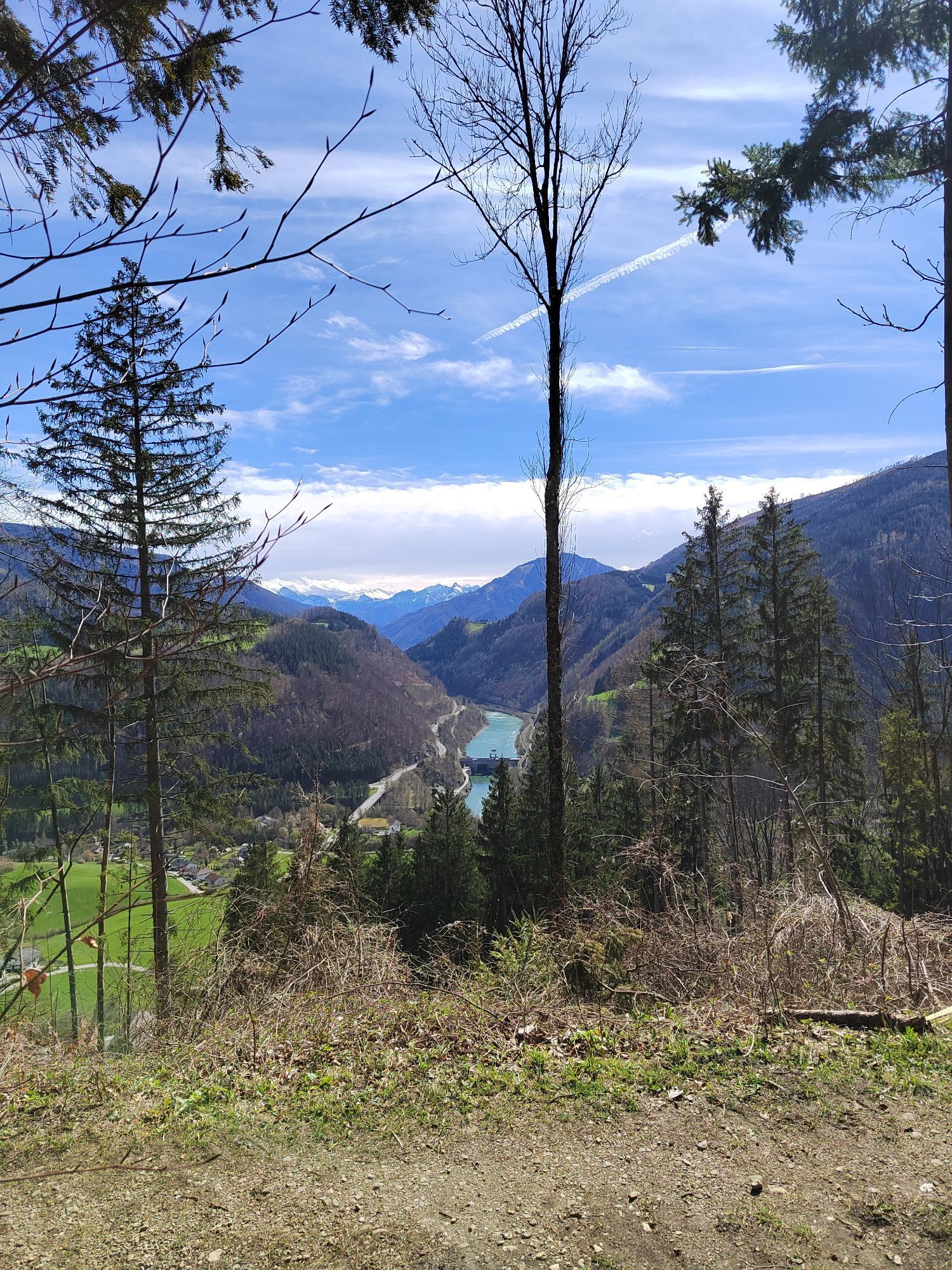
 © Petra RieglerVytvorené dňa 22.04.2026
 -
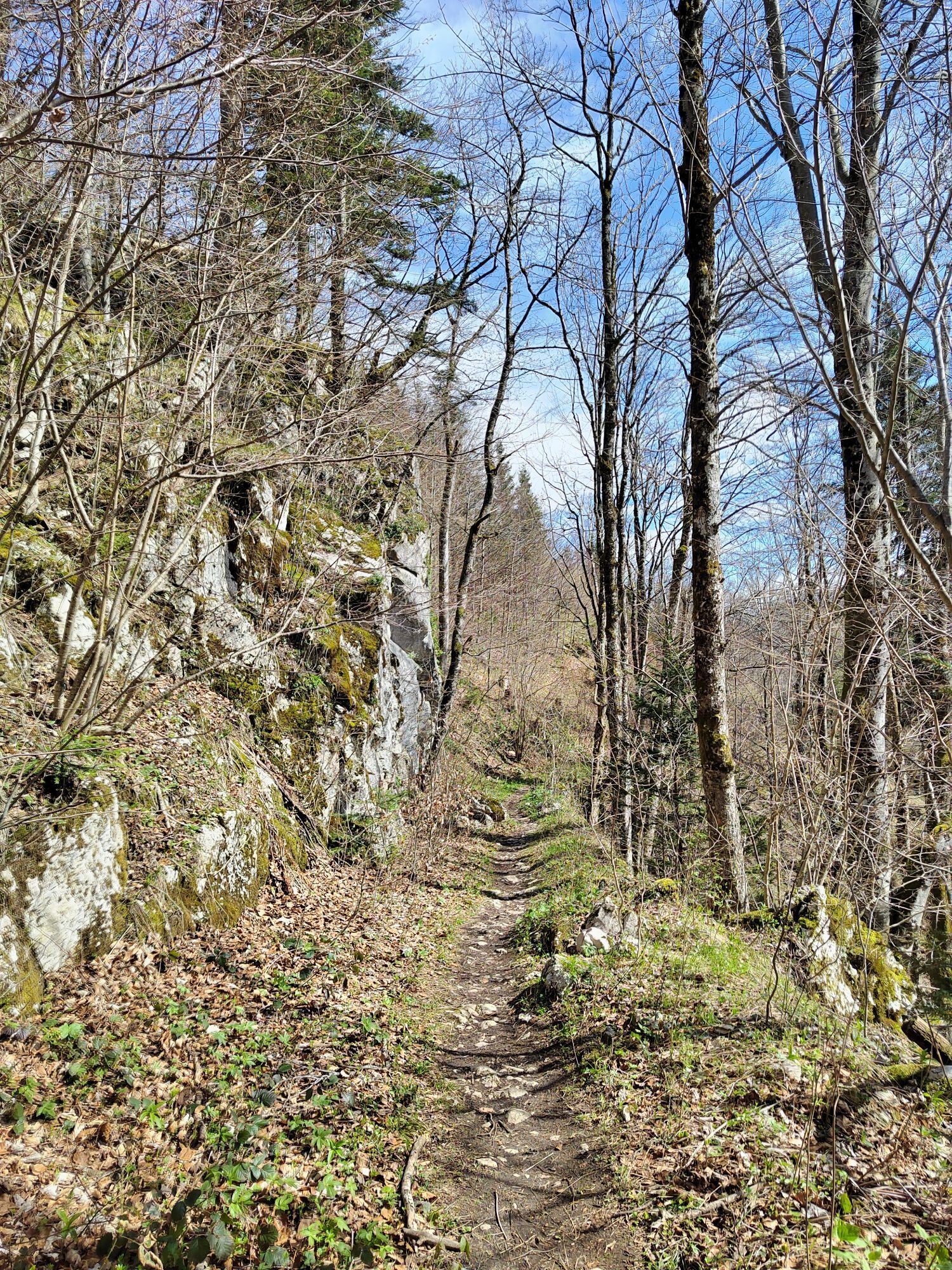
 © Petra RieglerVytvorené dňa 22.04.2026
 -
 © Birgit SchreinerVytvorené dňa 22.03.2026
 -
 © Birgit SchreinerVytvorené dňa 22.03.2026
 -
 © Petra RieglerVytvorené dňa 27.02.2026
 -
 © H&MVytvorené dňa 09.02.2026
 -
 © H&MVytvorené dňa 09.02.2026
 -
 © H&MVytvorené dňa 09.02.2026
 -
 © H&MVytvorené dňa 09.02.2026
 -

 © Johann StadlbauerVytvorené dňa 11.10.2025
 -
 © Johann StadlbauerVytvorené dňa 11.10.2025
 -
 © Johann StadlbauerVytvorené dňa 11.10.2025
 -
 © Johann StadlbauerVytvorené dňa 11.10.2025
 -
 © Johann StadlbauerVytvorené dňa 11.10.2025
 -
 © Johann StadlbauerVytvorené dňa 11.10.2025
 -
 © Johann StadlbauerVytvorené dňa 11.10.2025
 -
 © Johann StadlbauerVytvorené dňa 11.10.2025
 -
 © H UnterdechlerVytvorené dňa 01.09.2025
 -
 © FranzVytvorené dňa 17.08.2025
 -
 © FranzVytvorené dňa 17.08.2025
 -
 © FranzVytvorené dňa 17.08.2025
 -
 © DHVytvorené dňa 09.06.2025
 -
 © stmikeVytvorené dňa 09.03.2025
 -
 © stmikeVytvorené dňa 09.03.2025
 -
 © stmikeVytvorené dňa 09.03.2025
 -
 © stmikeVytvorené dňa 09.03.2025
 -
 © stmikeVytvorené dňa 09.03.2025
 -

 © ReginaStVytvorené dňa 29.03.2024
 -
 © ReginaStVytvorené dňa 29.03.2024
 -
 © ReginaStVytvorené dňa 29.03.2024
 -
 © ReginaStVytvorené dňa 29.03.2024
 -
 © ReginaStVytvorené dňa 29.03.2024
 -
 © ReginaStVytvorené dňa 29.03.2024
 -
 © ReginaStVytvorené dňa 29.03.2024
 -
 © ReginaStVytvorené dňa 29.03.2024
 -
 © ReginaStVytvorené dňa 29.03.2024
 -
 © ReginaStVytvorené dňa 29.03.2024
 -
 © ReginaStVytvorené dňa 29.03.2024
 -
 © ReginaStVytvorené dňa 29.03.2024
 -
 © ReginaStVytvorené dňa 29.03.2024
 -
 © ReginaStVytvorené dňa 29.03.2024
 -
 © ReginaStVytvorené dňa 29.03.2024
 -
 © ReginaStVytvorené dňa 29.03.2024
 -

 © WanderkatzeVytvorené dňa 25.10.2025
 -
 © WanderkatzeVytvorené dňa 25.10.2025
 -
 © WanderkatzeVytvorené dňa 25.10.2025
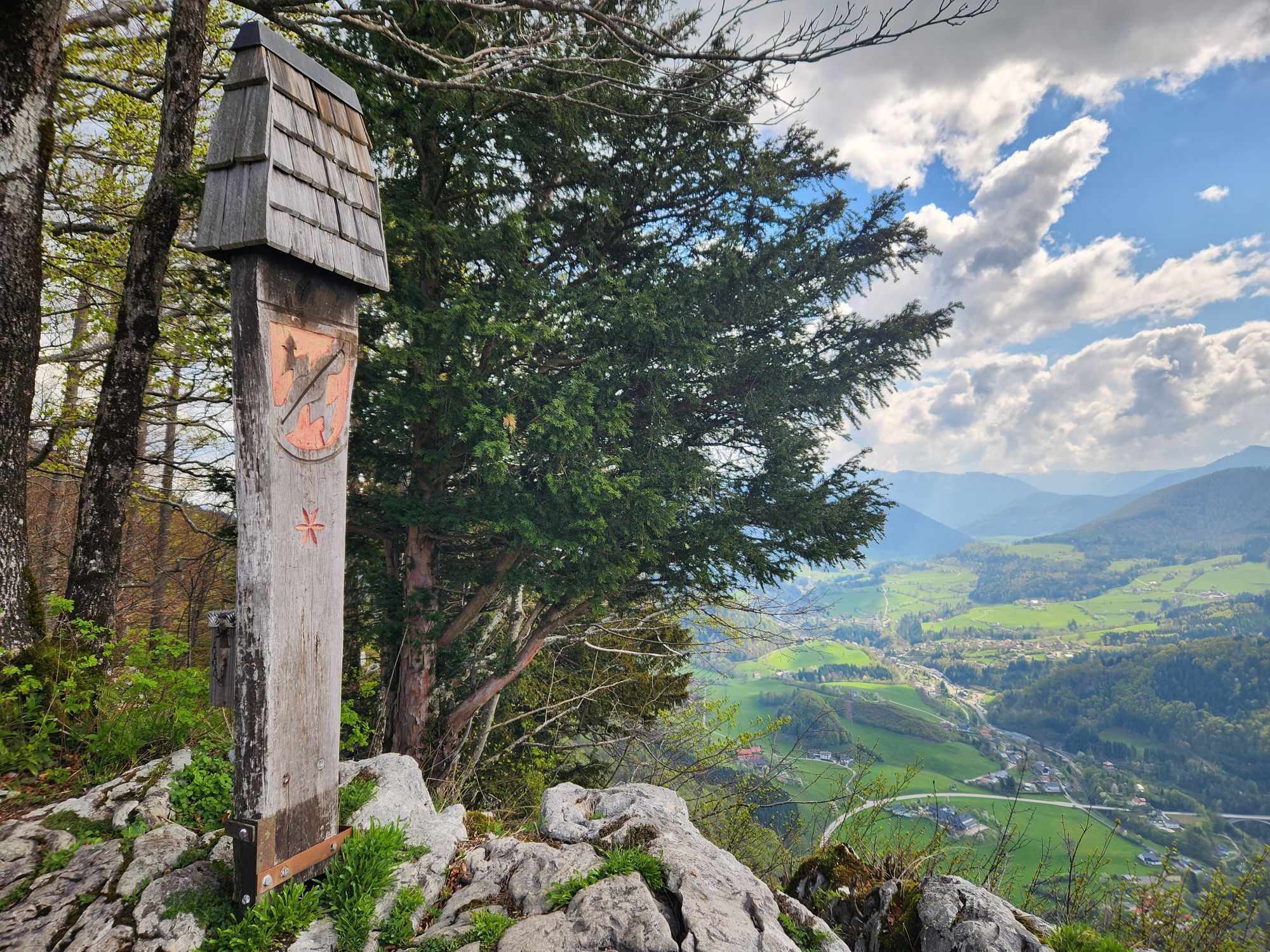


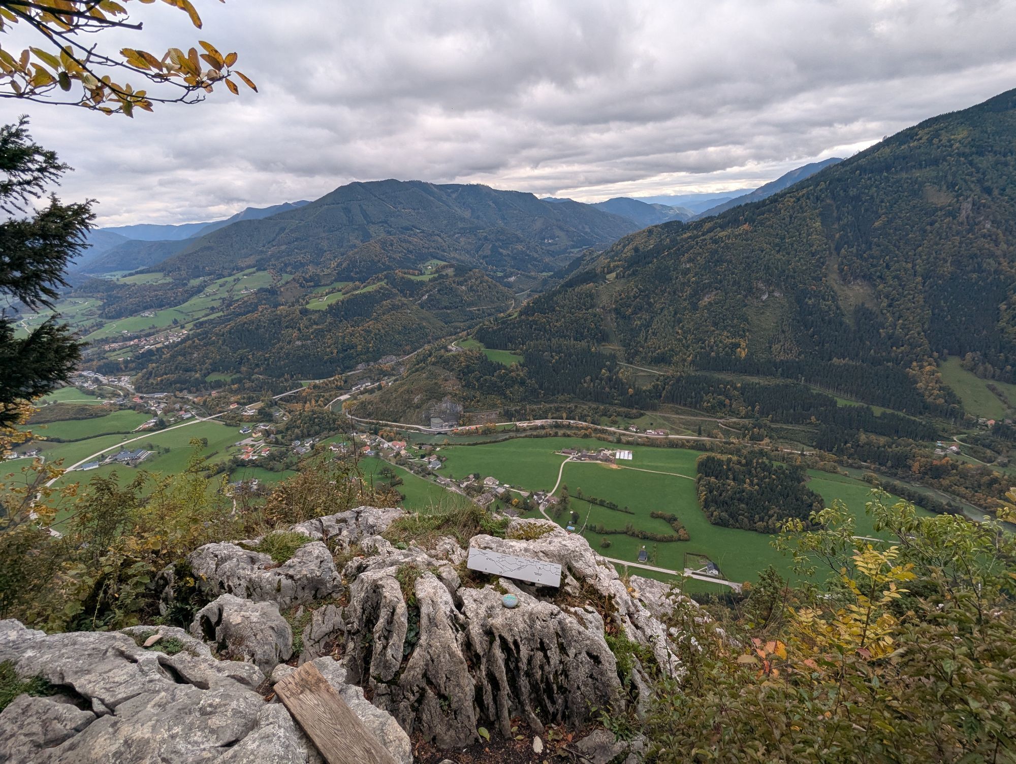


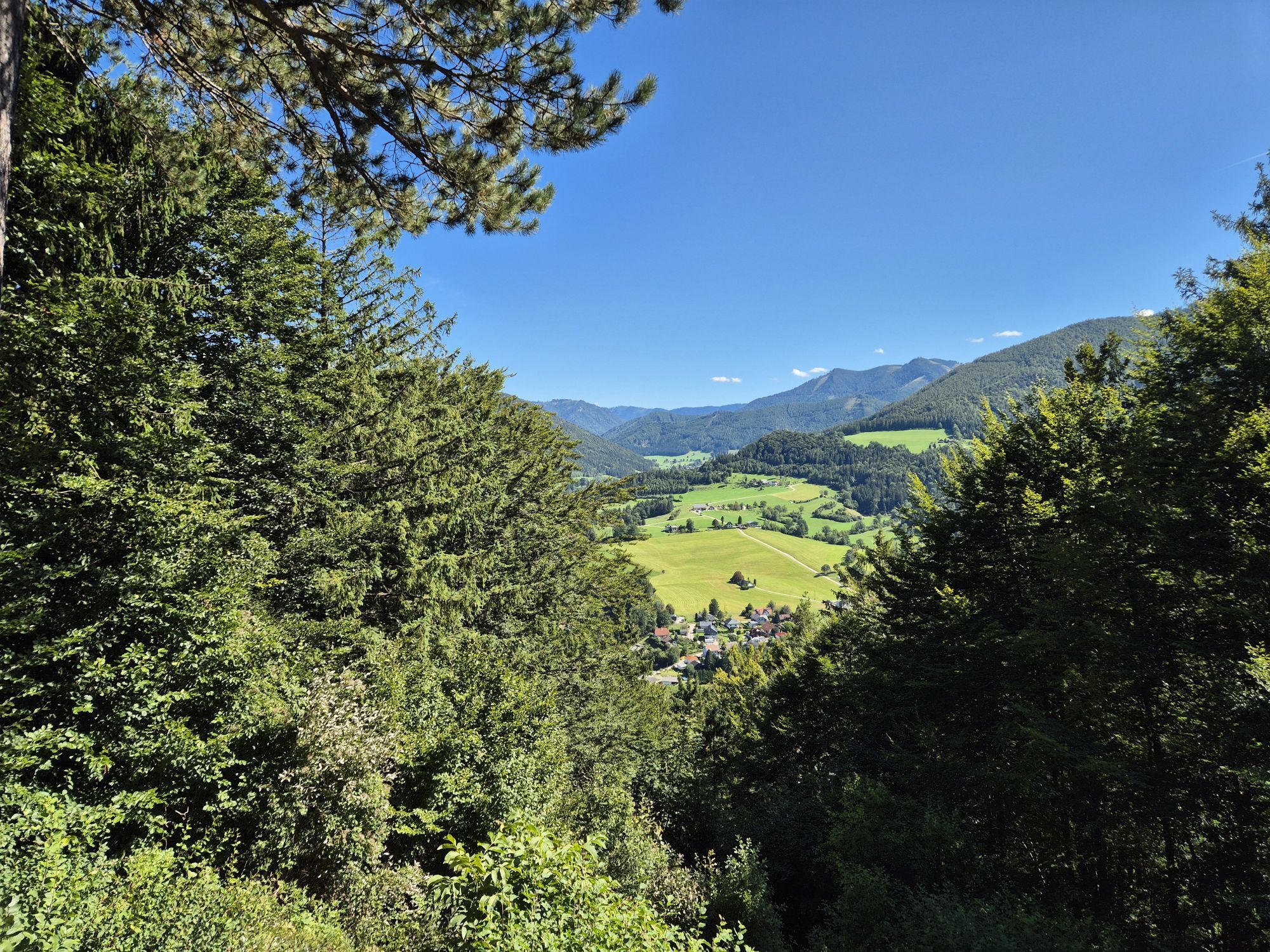


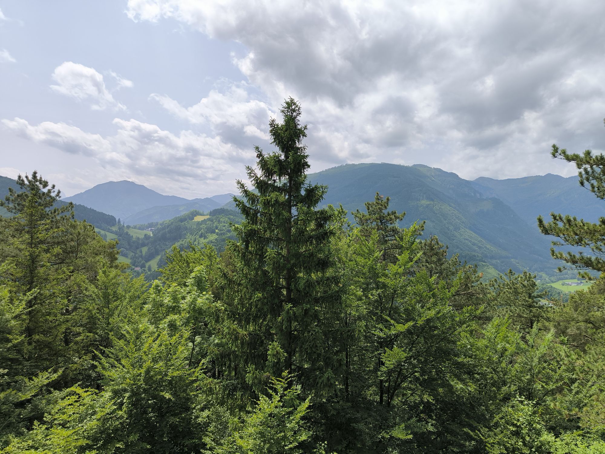

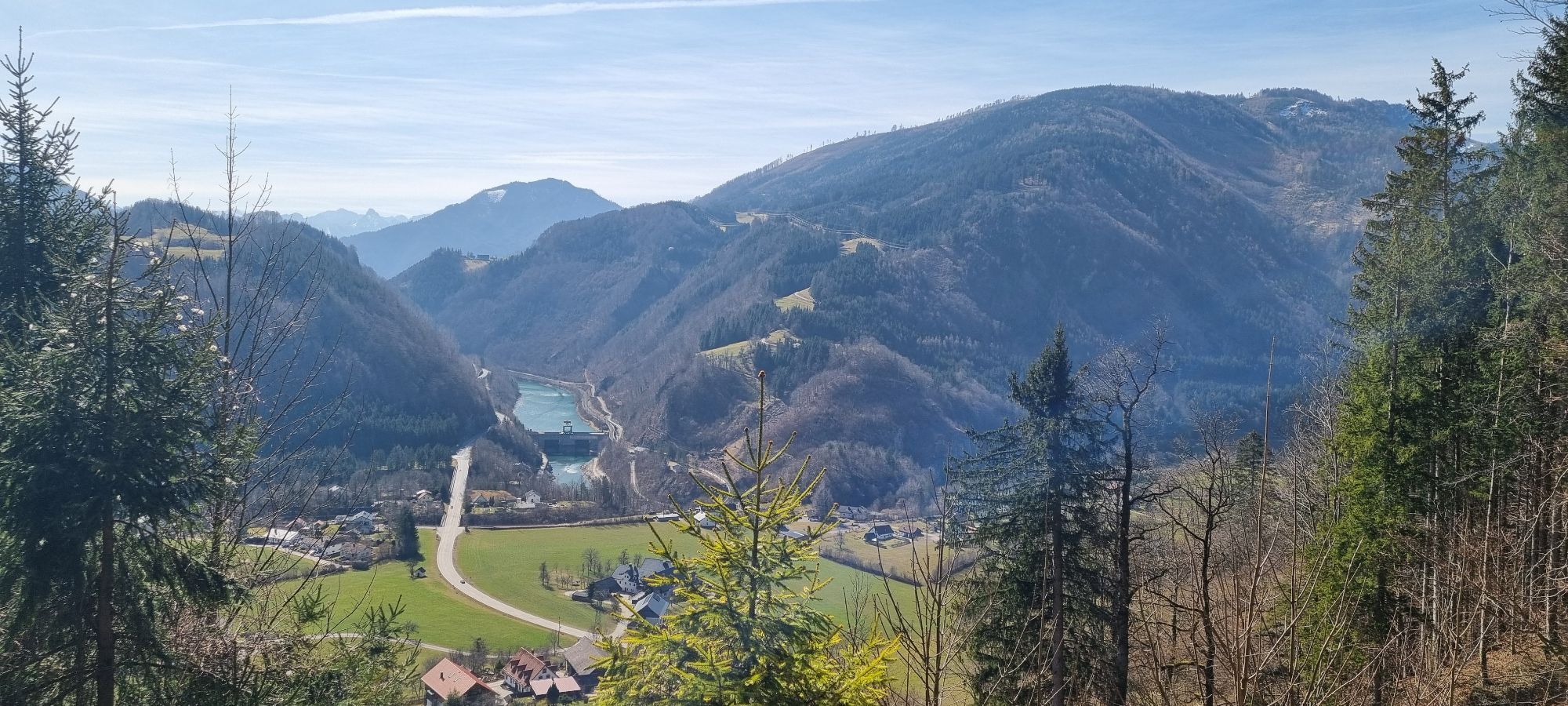


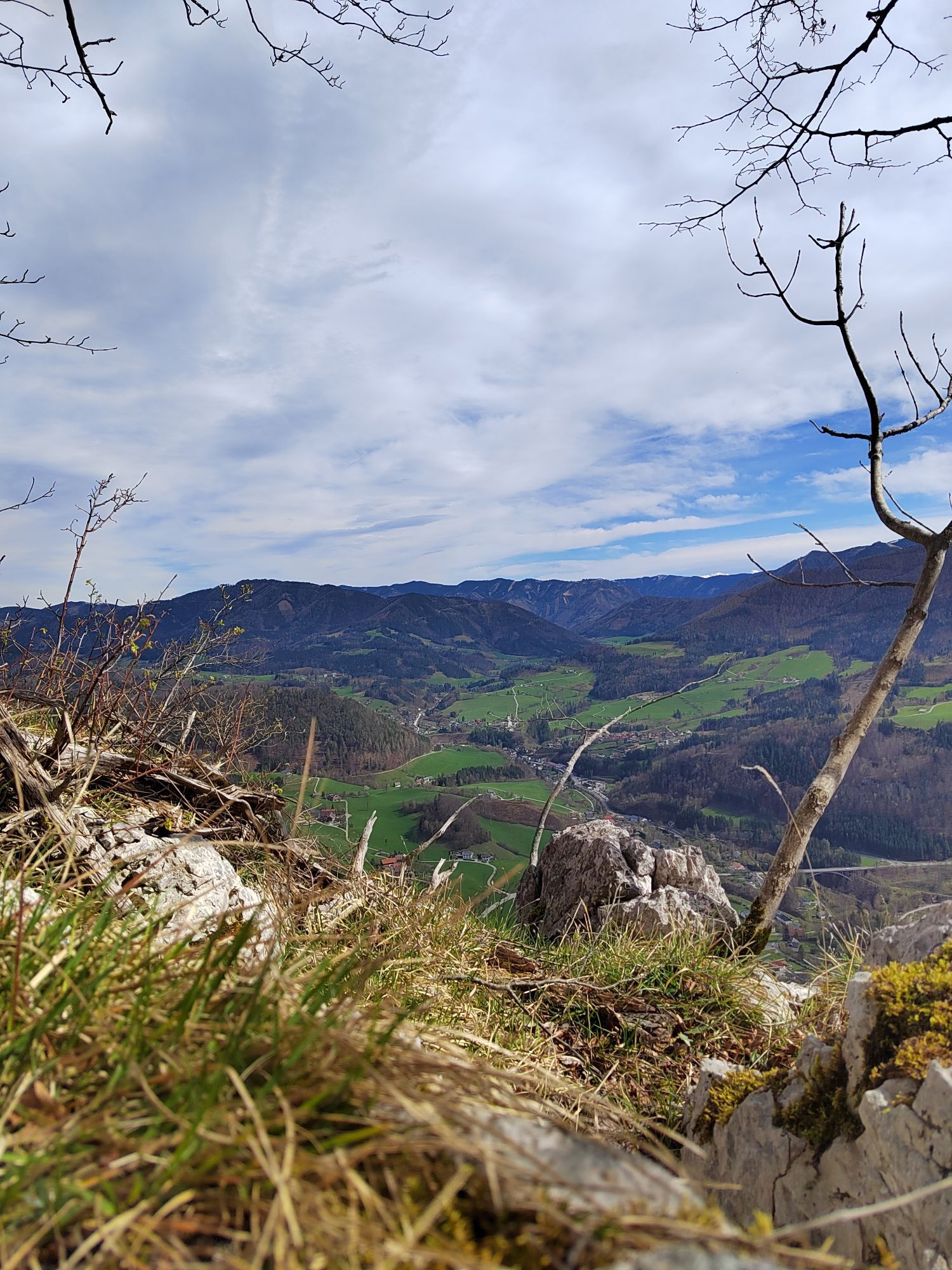
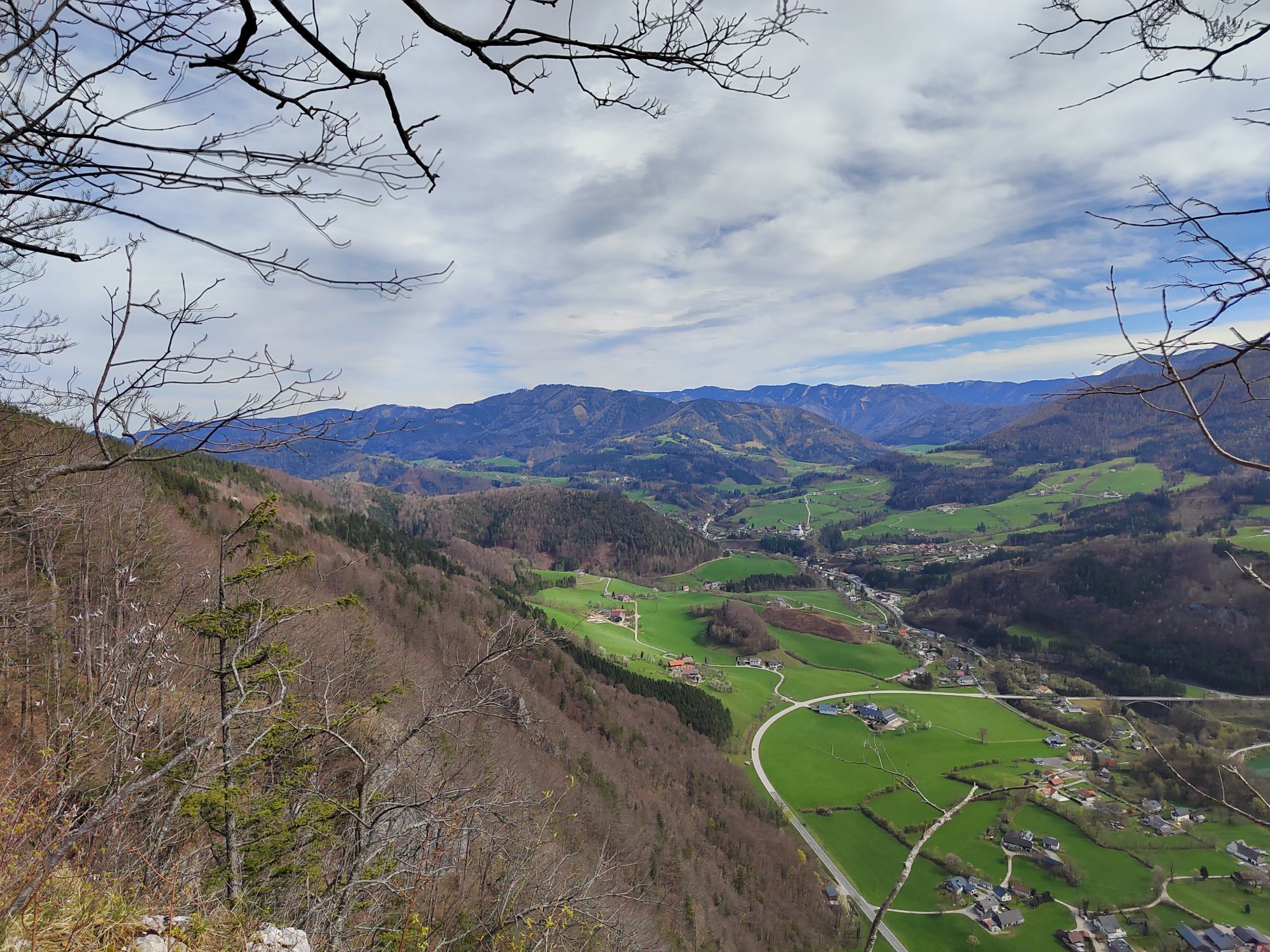


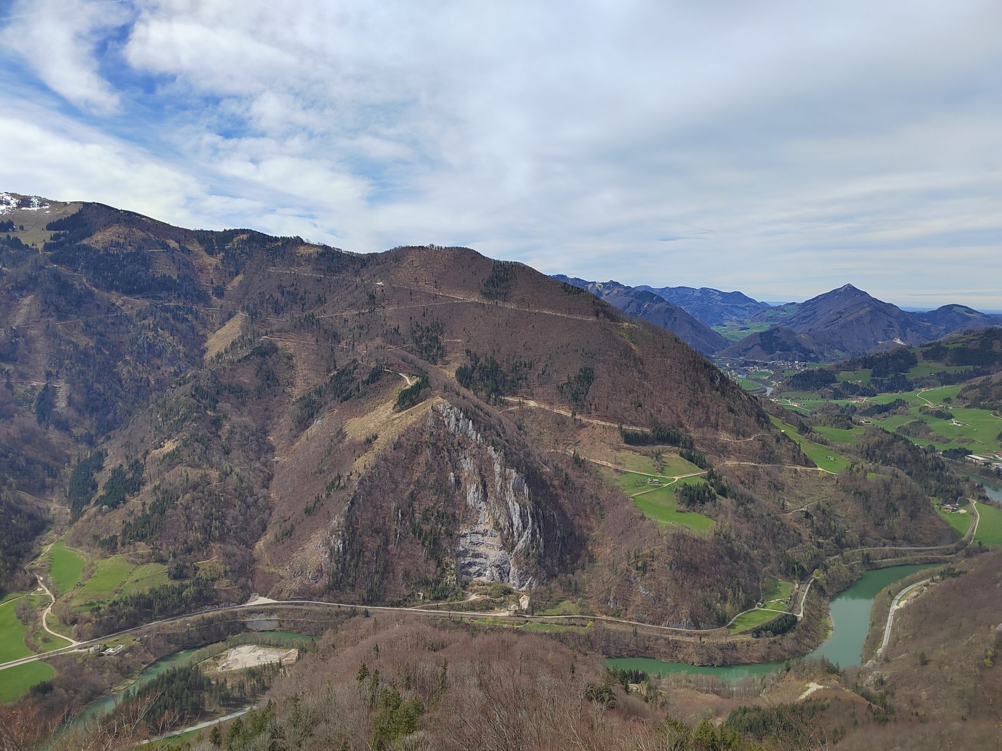
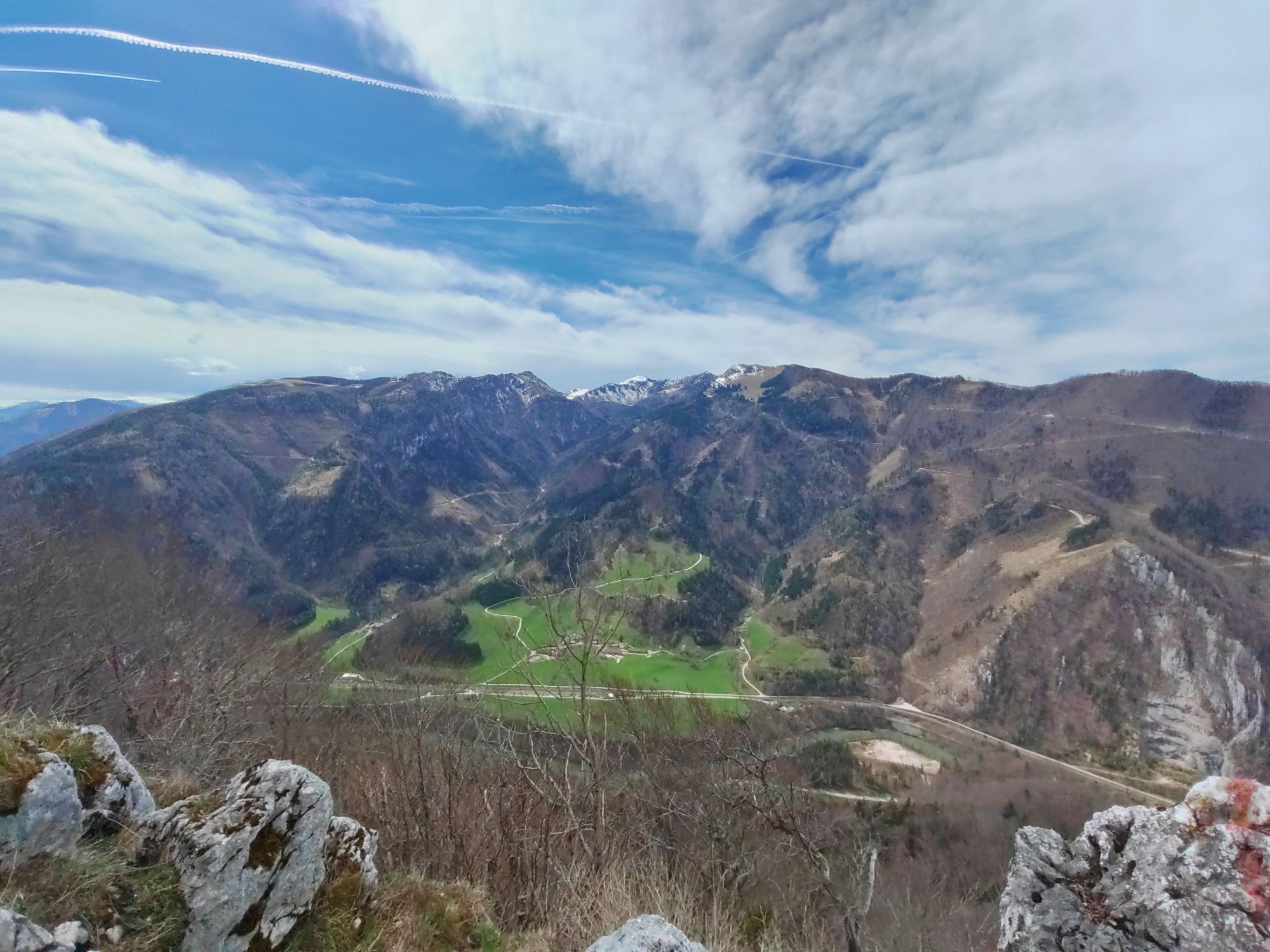


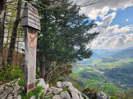
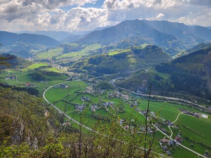
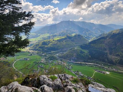
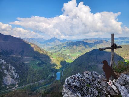
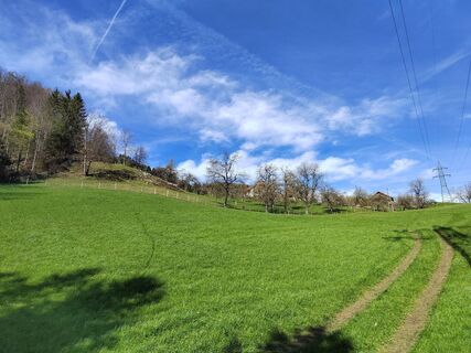
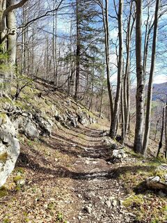
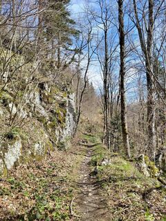
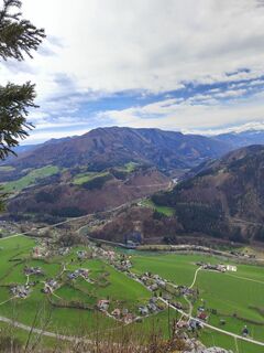
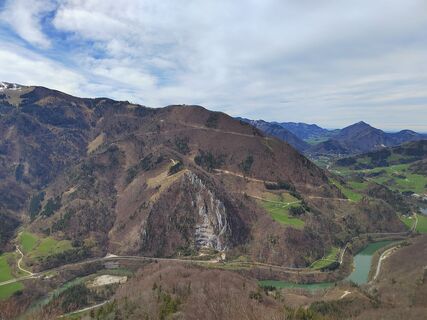
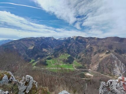
From Weyer marketplace, follow along the Gaflenz stream past the Schmidbergerwehr to the Gasselgraben, from where you turn over the meadow toward Rotmäuer. Mostly on forest paths, you reach the summit...
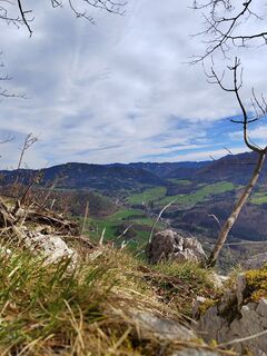
From Weyer marketplace, follow along the Gaflenz stream past the Schmidbergerwehr to the Gasselgraben, from where you turn over the meadow toward Rotmäuer. Mostly on forest paths, you reach the summit of Rotmäuer (837 m). After a short return section, continue up to the Falkenstein (993 m) and then via the forest road and the Kreuzberg nature reserve back to the starting point.
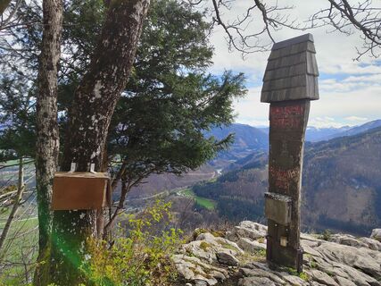
Hiking trails: E20, E22

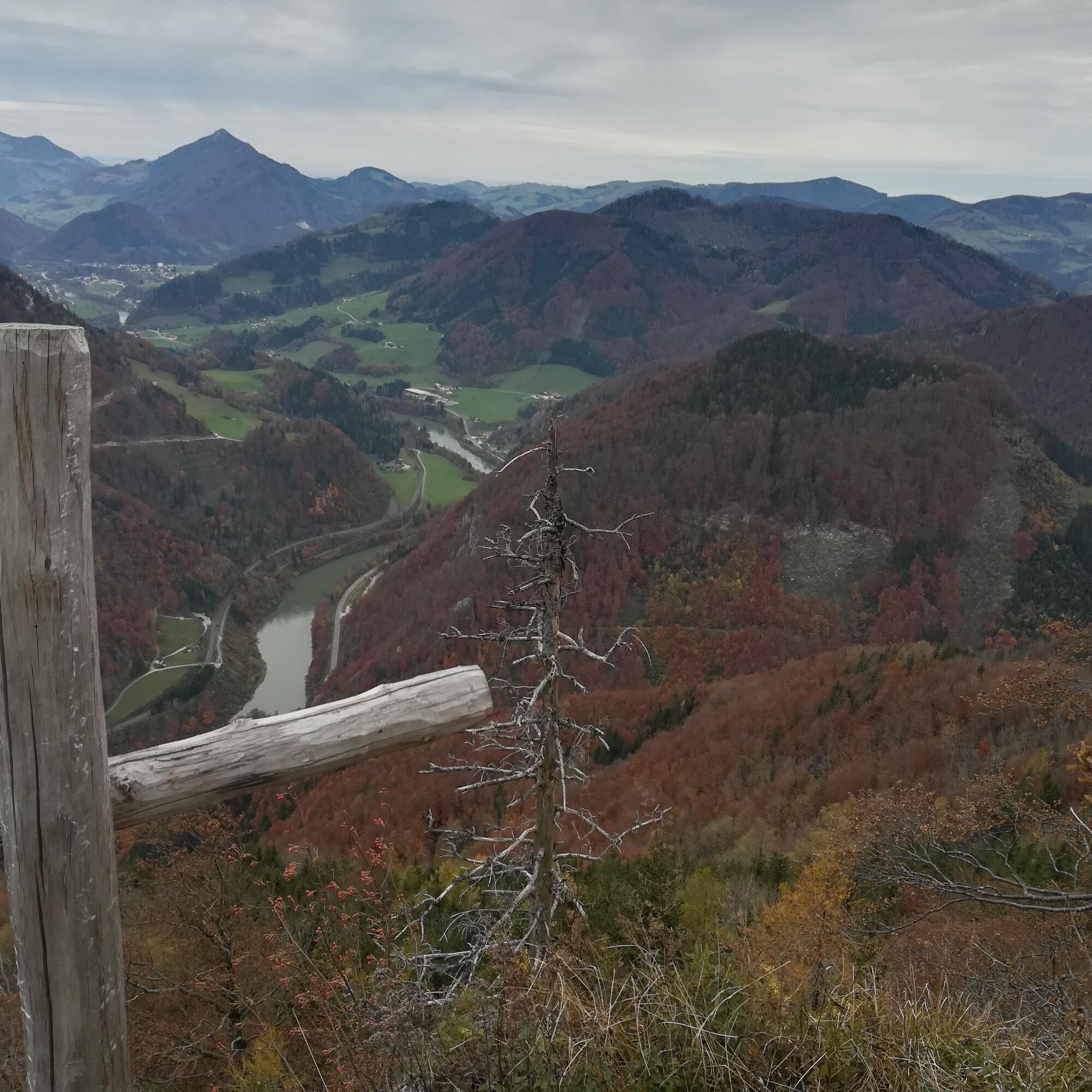


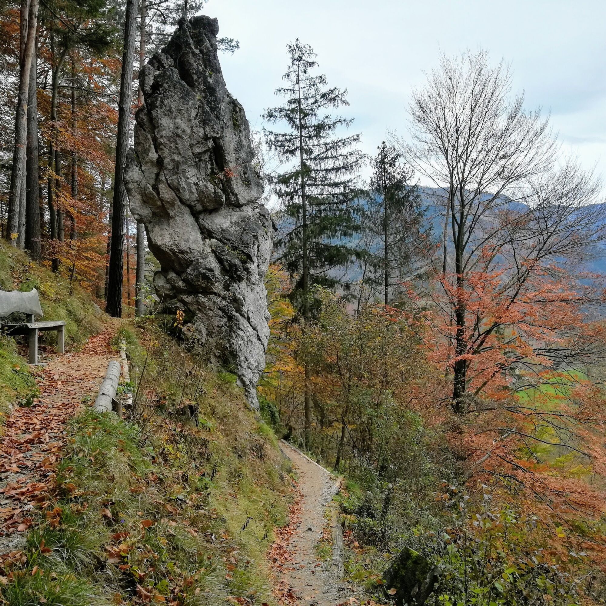
From Weyer, you follow along the Gaflenz stream past the Schmidbergerwehr to the actual trailhead in the Gasselgraben, which you follow at first, then at Buderhaus turn left toward Rotmäuer. Passing Joglbauer and Kochlöffl, the route now leads to the summit of Rotmäuer (837 m). After a short return section, continue up to the Falkenstein (993 m) and then via the forest road and the Kreuzberg nature reserve back to the starting point.
Áno
No dining options along the way, so bring drinks and a snack if needed.
From Vienna: A1 motorway exit Haag > B42 > B122 > B115 into the Enns Valley
From Passau: A8 Passau > Wels > A1 motorway exit Enns-Steyr > B115 into the Enns Valley
From Graz: A9 Pyhrnautobahn > motorway exit Klaus > Grünburg > into the Ennstal valley
Details at www.ooevv.at
Railway Stations are located in Ternberg, Trattenbach, Losenstein, Reichraming, Großraming, Gaflenz, Weyer, Küpfern, Kastenreith, Kleinreifling and Weißenbach-St. Gallen.
Weyer/Kreuzberg parking lot
Climate-friendly to the National Park Region – Weyer station or Kastenreith station: By train, you can reach the starting point for this hike in about 2 hours from Linz and about 2.5 hours from Vienna.
Aktivity počas prehliadky

Obľúbené výlety v okolí
-
4,9
Ennser Hut - Almkogel (from Bamacher car park)
strednáTuristika 3,53 km -
4,3
Freithofberg
strednáTuristika 9,15 km -
4,8
Steinerner Jäger (1185m) und Schieferstein (1206m) ab Parkplatz Hochhabichler
strednáTuristika 4,46 km -
4,8
GROSSRAMING Bamacher, Burgspitz, Almkogel, Ennshütte 20240730
strednáTuristika 10 km -
4,4
Kleine Gipfelrunde Glasenberg
svetloTuristika 4,99 km -
4,8
R9 Hintergebirgsradweg
strednáCyklistika 29,1 km -
4,6
Opponitz Gorge Hiking Trail
strednáTuristika 4,42 km -
4,5
Lindaumauer, Maria Neustift
strednáTuristika 5,53 km -
3,8
Lindaumauer (1103 m)
Turistika 3,40 km -
4,7
Steinerner Jäger (1185m) und Schieferstein (1206m) ab Parkplatz Hack
ťažkéTuristika 8,58 km

Turistika a stopovanie


Nenechajte si ujsť ponuky a inšpiráciu na ďalšiu dovolenku
Vaša e-mailová adresa bol pridaný do poštového zoznamu.