





In the valley of wood in the cold season
From the Weißenbach parking lot, the circular trail leads along the Großer Weißenbach to the Bergerwies Hütte. From there, take the forest road and a forest path through the beech forest back to the starting...
From the Weißenbach parking lot, the circular trail leads along the Großer Weißenbach to the Bergerwies Hütte. From there, take the forest road and a forest path through the beech forest back to the starting point.

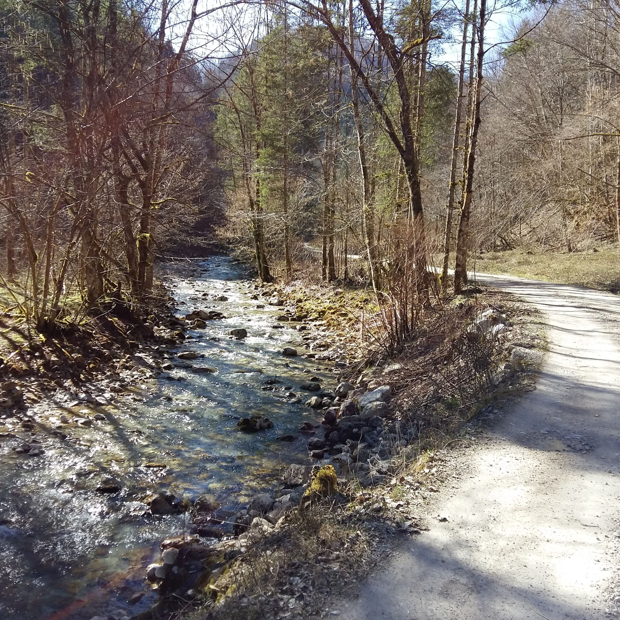
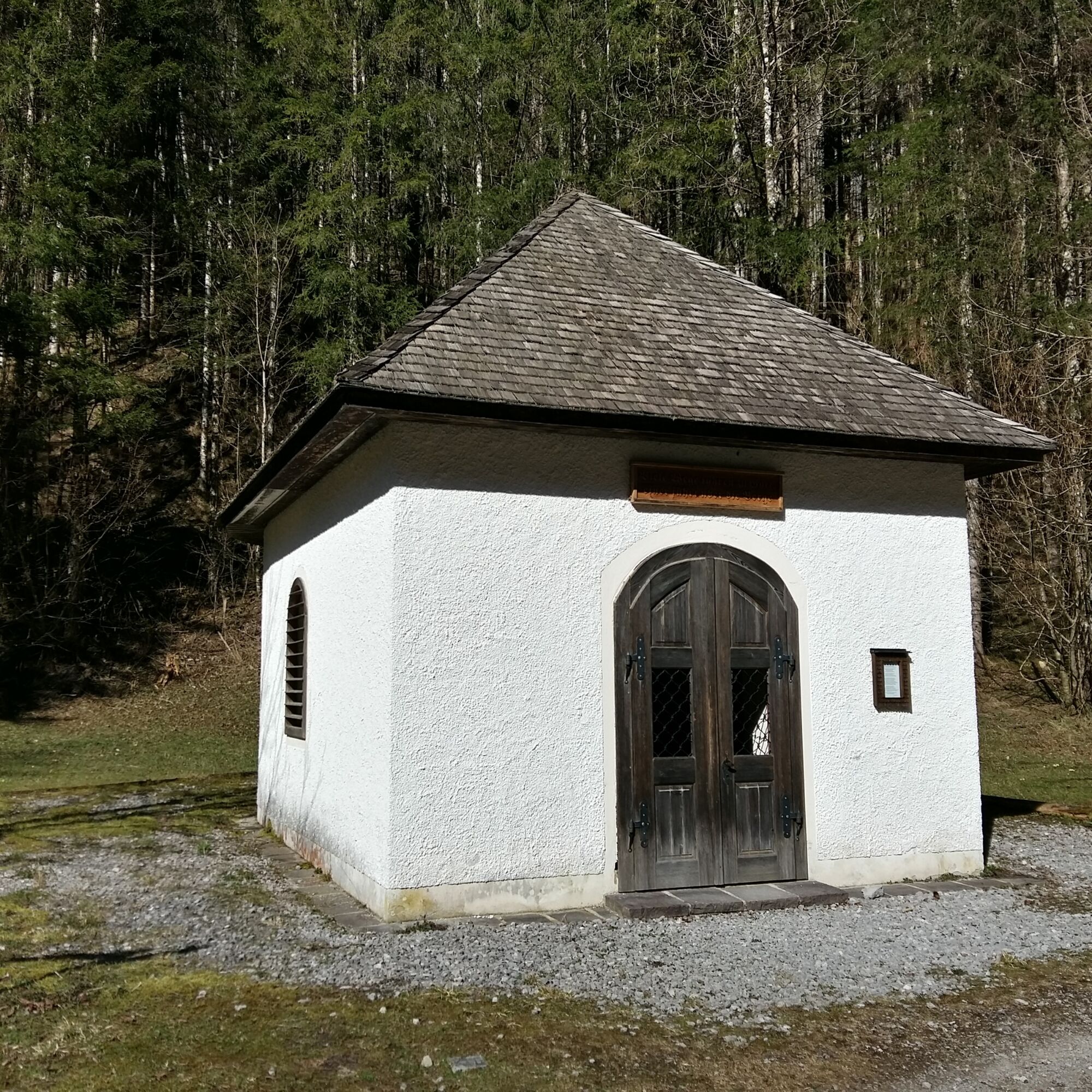
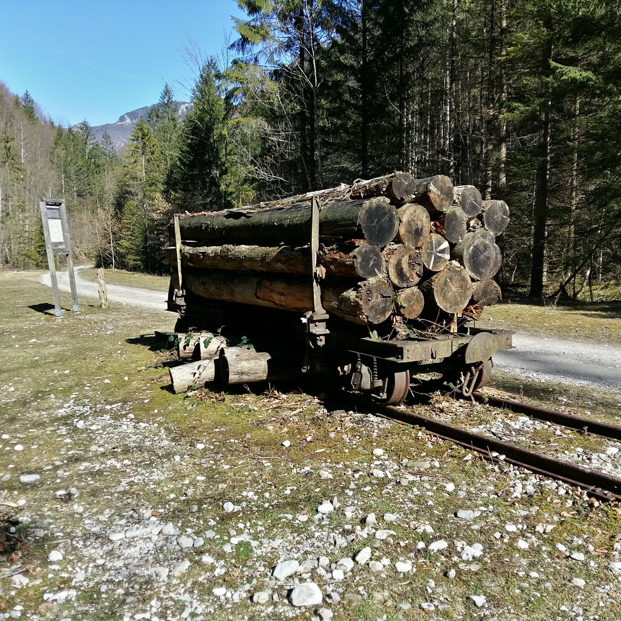
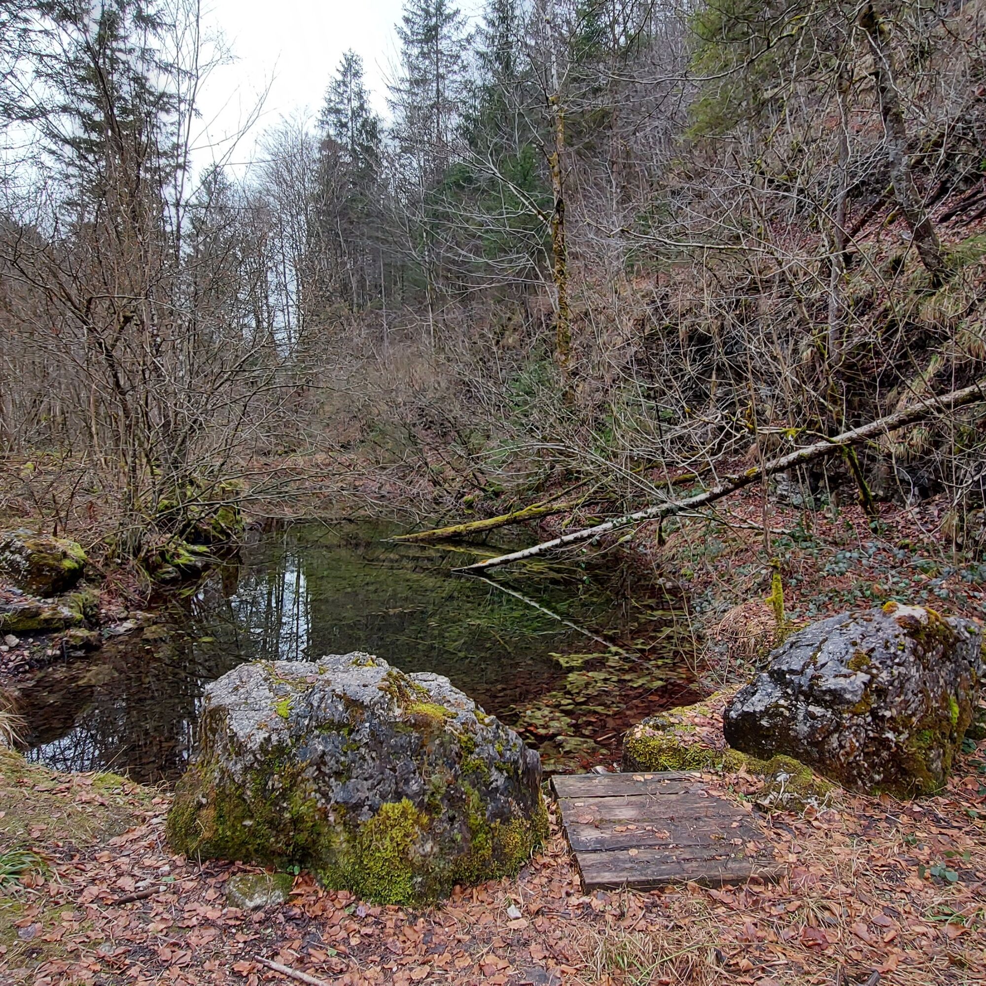

From the Weißenbach parking lot, follow the gravel road almost flat along the Großer Weißenbach. After about 15 minutes you reach the Weißenbach chapel. Shortly afterwards, the Kleine Weißenbach flows into the Große Weißenbach - here the path branches off to the left and continues along the marked route "Im Tal des Holzes" into the Große Weißenbachtal.
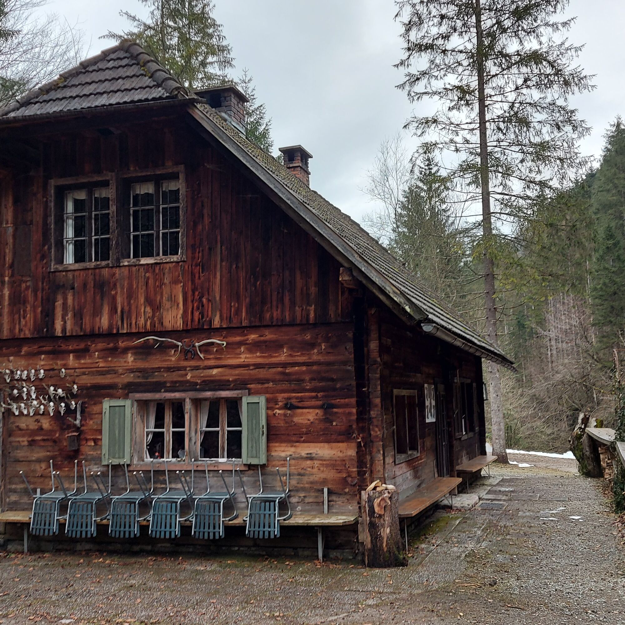
After a short walk, you reach the Bergerwies hut. After around five minutes, the path bends to the left. If you wish, you can take a short detour straight ahead along the stream. Then it's back to the bend.
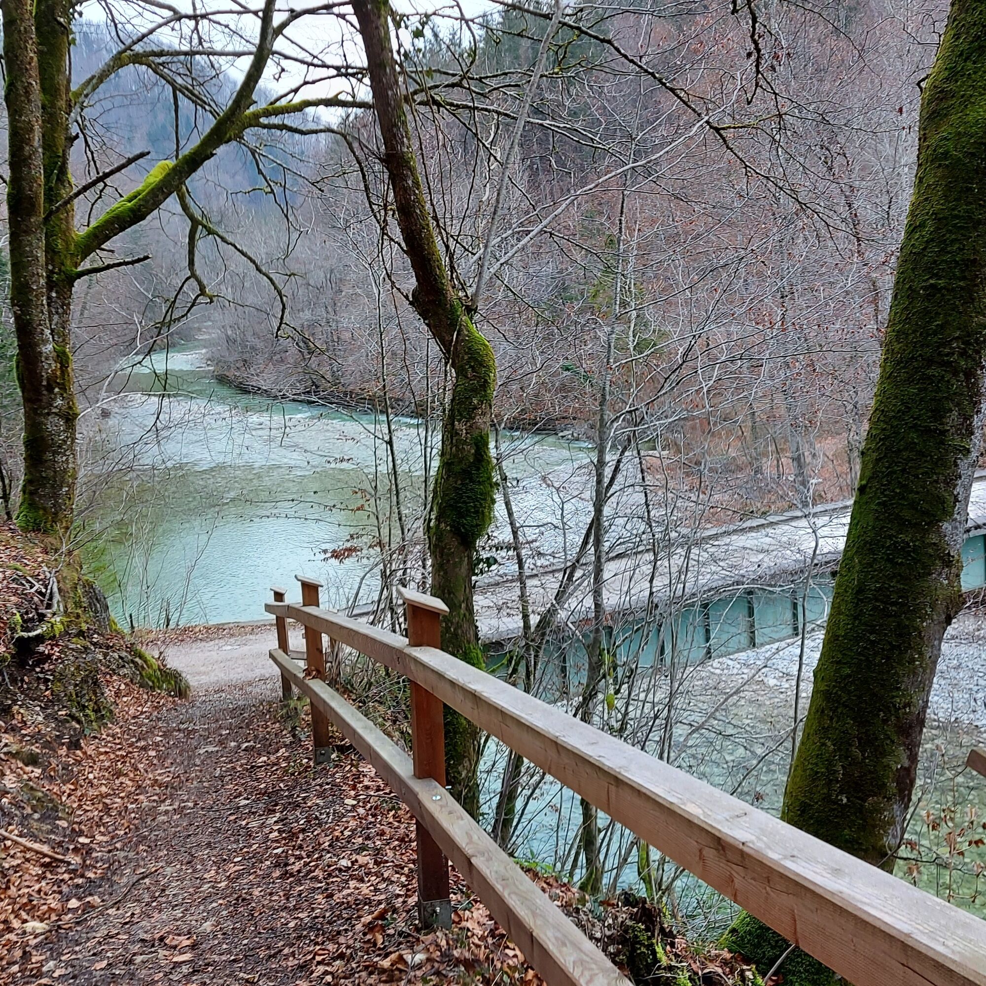
From here, follow the forest road uphill across the wooded northern slope of the Stefflkogel. After about an hour's walk, a forest path branches off to the left. This leads downhill through a beautiful beech forest for around 20 minutes to the Reichramingbach stream. The loop ends there and it is only a short distance back to the Weißenbach parking lot.
Clothing:
Functional or ski underwear Fleece jacket (for very cold temperatures) Waterproof outdoor jacket or light winter jacket Warm softshell pants or hiking pants - In very cold weather: ski pants Hat and gloves Scarf or multifunctional scarf Gaiters (for snow) Warm hiking socks Sturdy footwear suitable for winter (waterproof, non-slip sole)Equipment:
Sunglasses Sun cream Seat cover Hiking poles or ski poles if required (with winter poles) Light crampons or Grödel Backpack (ideally with rain cover) First aid kit Headlamp Thermos flask (e.g. with tea) and carbohydrate-rich snacks/foodAdapt your tours to the current weather reports and act according to the seasonal dangers in the terrain.
Weißenbach parking lot (subject to charge)
Stop off at Café Mandl and Gasthof Ortbauerngut in Reichraming.
Regional specialties to take away at "d'Speis Großraming".
 Získajte prehľad
Vždy naživo na mieste s viac ako 9 500 webovými kamerami. bergfex Ako používateľ Pro si teraz môžete pozrieť príslušné webové kamery pre mnohé zájazdy v aplikácii zájazdy z. Môžete si tak priamo prezerať aktuálne podmienky.
Získajte prehľad
Vždy naživo na mieste s viac ako 9 500 webovými kamerami. bergfex Ako používateľ Pro si teraz môžete pozrieť príslušné webové kamery pre mnohé zájazdy v aplikácii zájazdy z. Môžete si tak priamo prezerať aktuálne podmienky.
Obľúbené výlety v okolí
-
4,9
Ennser Hut - Almkogel (from Bamacher car park)
strednáTuristika 3,53 km -
4,7
Grünburger Hut via Dorngraben Molln
strednáTuristika 3,43 km -
4,6
Schoberstein (from Molln)
strednáTuristika 3,63 km -
4,8
Steinerner Jäger (1185m) und Schieferstein (1206m) ab Parkplatz Hochhabichler
strednáTuristika 4,46 km -
3,9
Wasserklotz
strednáTuristika 5,81 km -
4,7
GROSSRAMING Bamacher, Burgspitz, Almkogel, Ennshütte 20240730
strednáTuristika 10 km -
4,6
Hoher Nock von Rettenbach Rettenbach, Windischgarsten,
strednáTuristika 11,5 km -
4,6
Pfaffenmauer - Schoberstein - Gipfel der Lust Gasthof Klausriegler, Oberösterreich/Österreich
strednáTuristika 9,72 km -
4,5
Dürres Eck - Gaisberg - Hochbuchberg
strednáTuristika 11,2 km -
4,5
Ternberg -Schoberstein
strednáTuristika 6,60 km
Turistika a stopovanie


Nenechajte si ujsť ponuky a inšpiráciu na ďalšiu dovolenku
Vaša e-mailová adresa bol pridaný do poštového zoznamu.





