


Glasenberg circuit in the cold season
Úroveň náročnosti: 2
Fotografie našich používateľov
-

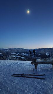
 © Matthias RottenschlagerVytvorené dňa 26.12.2025
 -
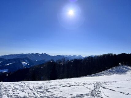
 © Matthias RottenschlagerVytvorené dňa 28.11.2025
 -
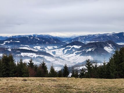
 © Matthias RottenschlagerVytvorené dňa 28.11.2025
 -
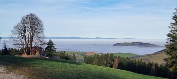
 © LenzVytvorené dňa 09.02.2023
 -

 © BibiMishaMajaVytvorené dňa 07.03.2025
 -
 © Petra RieglerVytvorené dňa 04.02.2026
 -
 © Petra RieglerVytvorené dňa 04.02.2026
 -
 © Manuela Huemer FriscoVytvorené dňa 13.11.2025
 -
 © Manuela Huemer FriscoVytvorené dňa 13.11.2025
 -
 © Manuela Huemer FriscoVytvorené dňa 13.11.2025
 -
 © Fritz MittererVytvorené dňa 01.11.2025
 -
 © NadineVytvorené dňa 21.10.2025
 -
 © Klaus LehnerVytvorené dňa 24.08.2025
 -
 © ReginaStVytvorené dňa 08.03.2025
 -
 © ReginaStVytvorené dňa 08.03.2025
 -
 © ReginaStVytvorené dňa 08.03.2025
 -
 © ReginaStVytvorené dňa 08.03.2025
 -
 © ReginaStVytvorené dňa 08.03.2025
 -
 © ReginaStVytvorené dňa 08.03.2025
 -
 © ReginaStVytvorené dňa 08.03.2025
 -
 © Andreas SeyerlehnerVytvorené dňa 01.03.2025
 -
 © Andreas SeyerlehnerVytvorené dňa 01.03.2025
 -
 © Babs HolzVytvorené dňa 19.06.2023
 -
 © Babs HolzVytvorené dňa 19.06.2023
 -
 © Babs HolzVytvorené dňa 19.06.2023
 -
 © DJ EDVytvorené dňa 15.05.2023


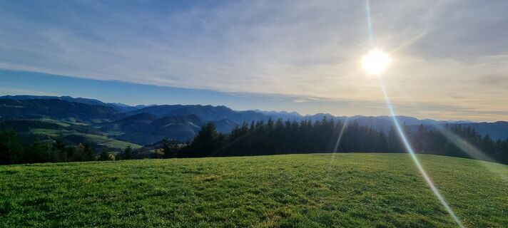
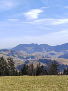
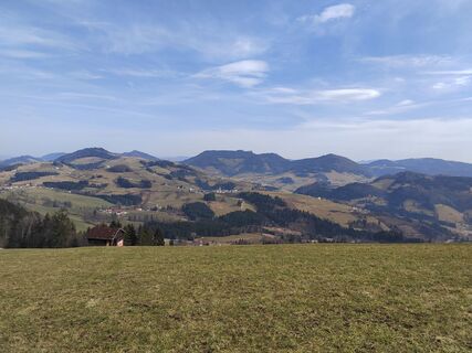
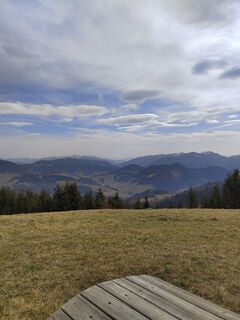
The circular hike begins at the parking lot of the Glasenberg ski lift in Maria Neustift and leads on hiking trail E33 to the summit of Glasenberg (971 m) and via the ridge trail E33a with magnificent...
The circular hike begins at the parking lot of the Glasenberg ski lift in Maria Neustift and leads on hiking trail E33 to the summit of Glasenberg (971 m) and via the ridge trail E33a with magnificent views of Maria Neustift and the Sengsengebirge back to the starting point.

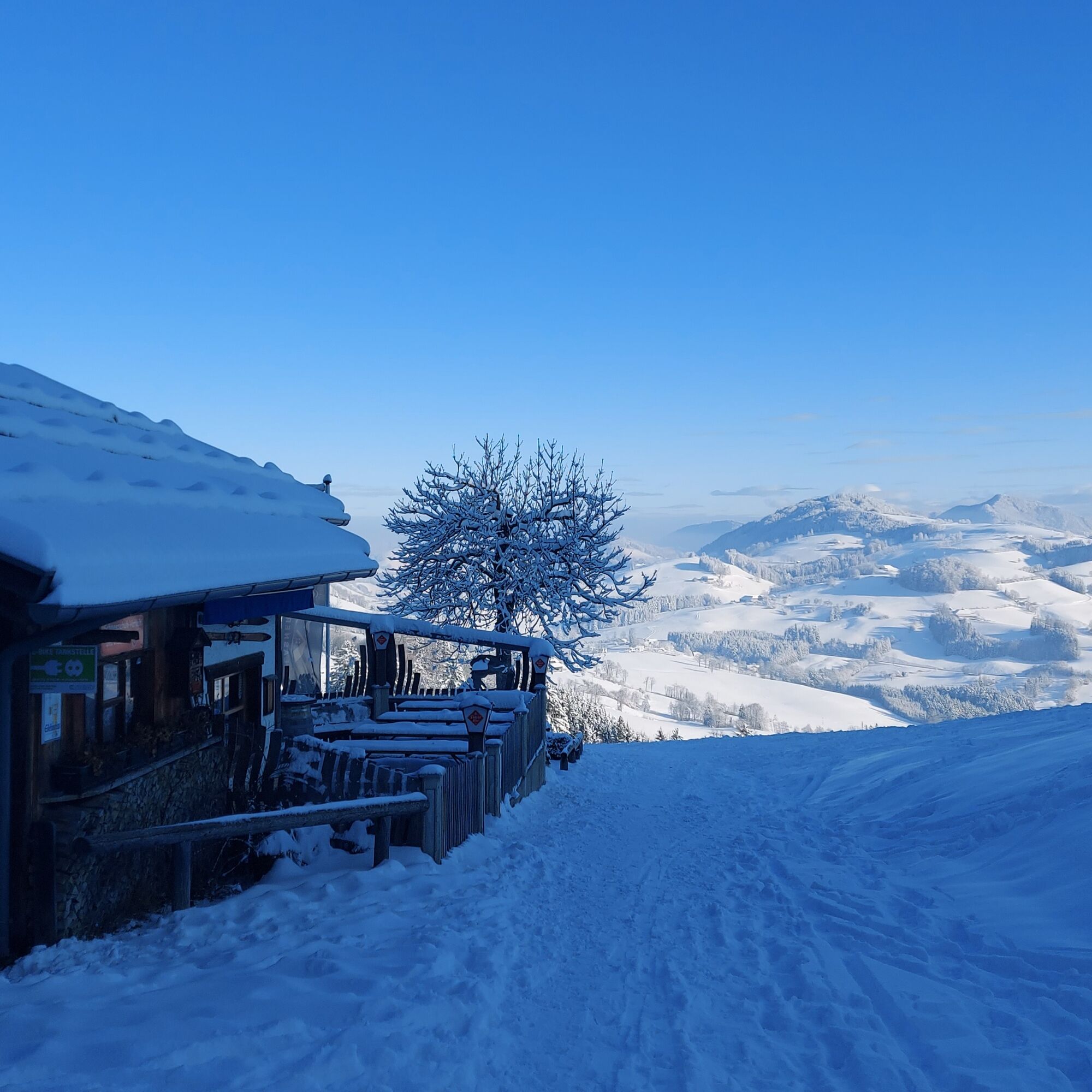
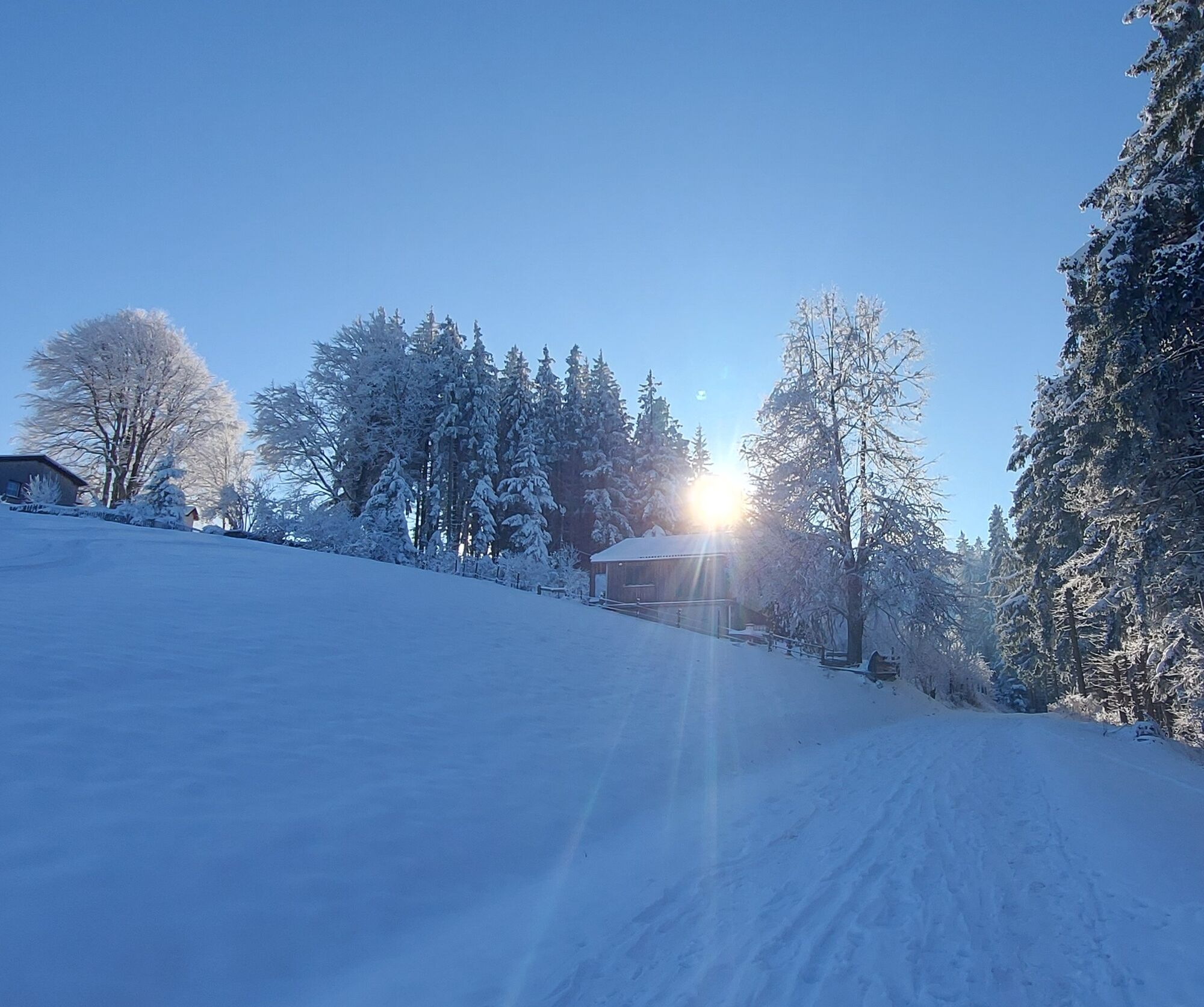
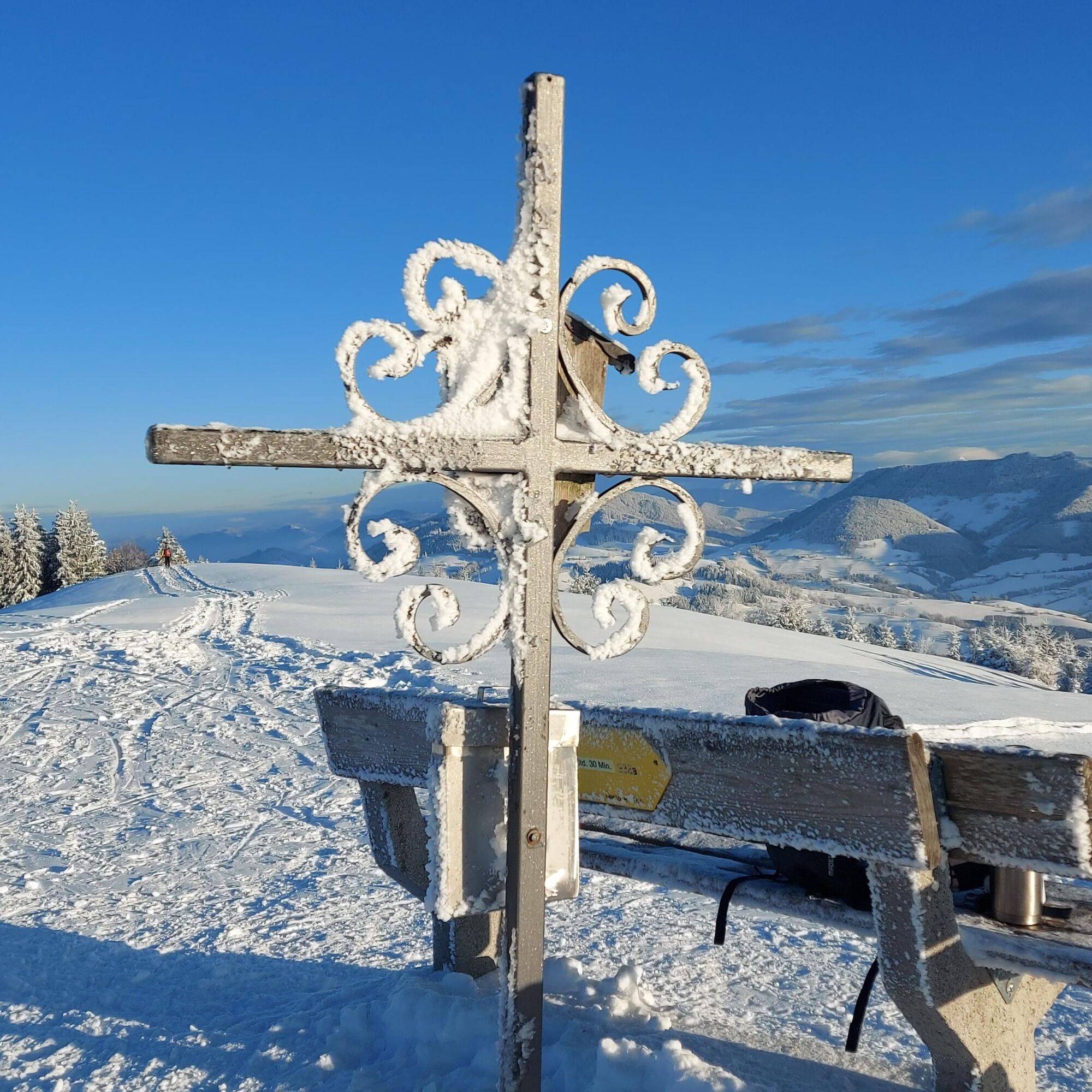
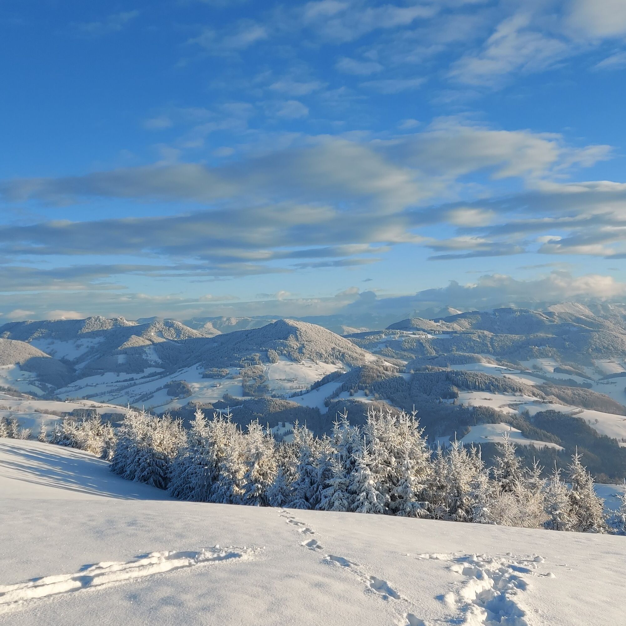
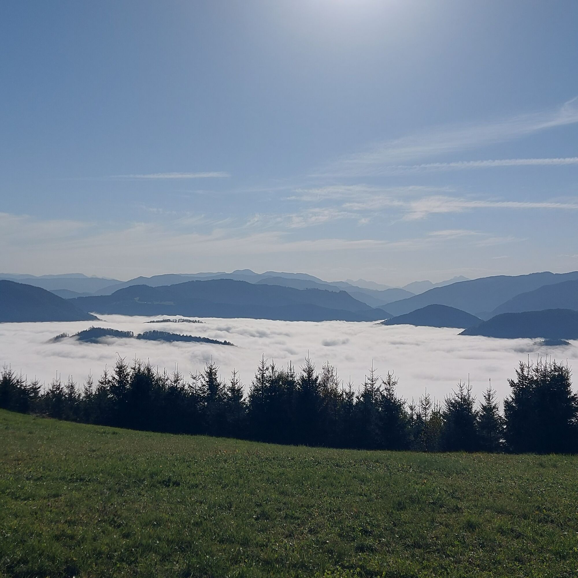
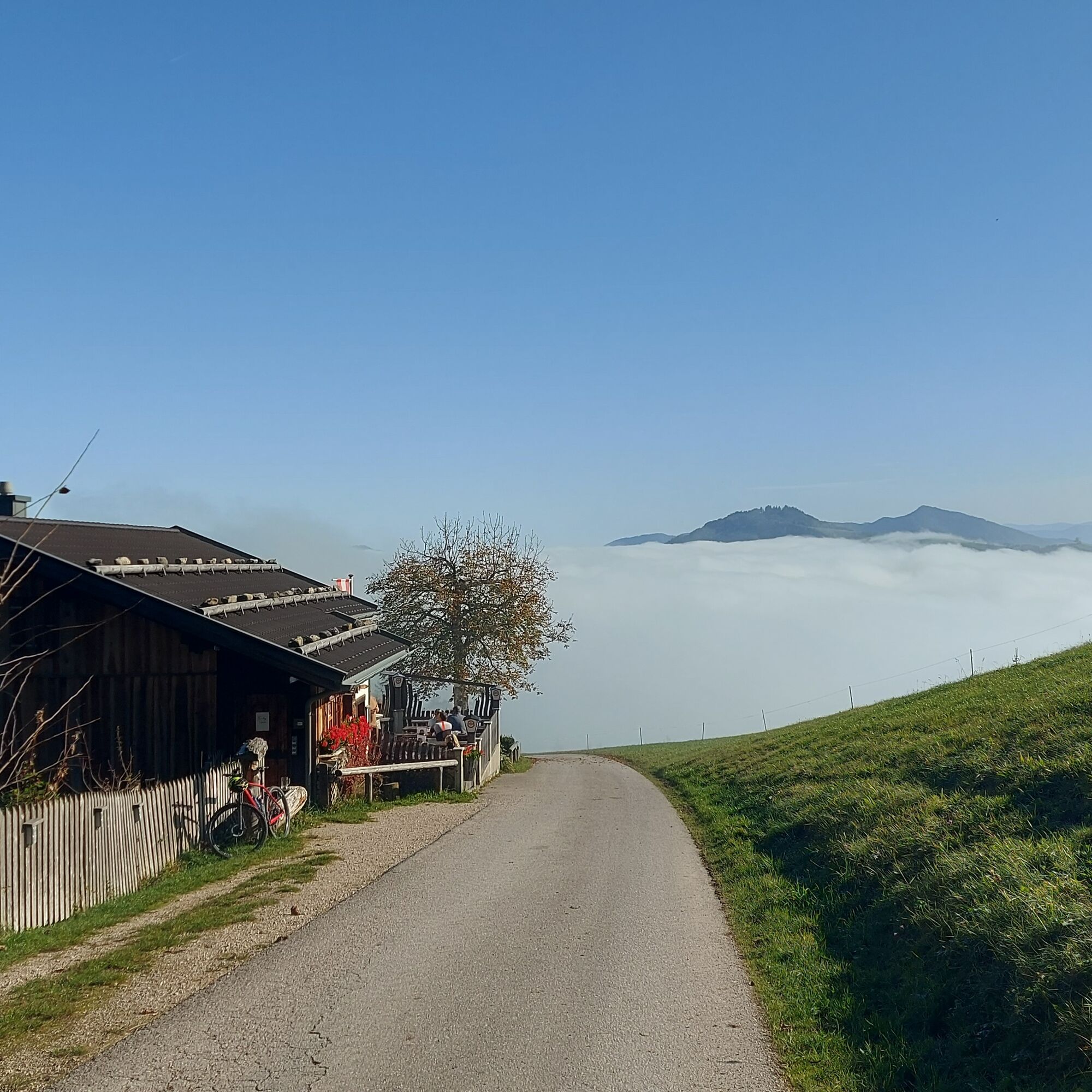
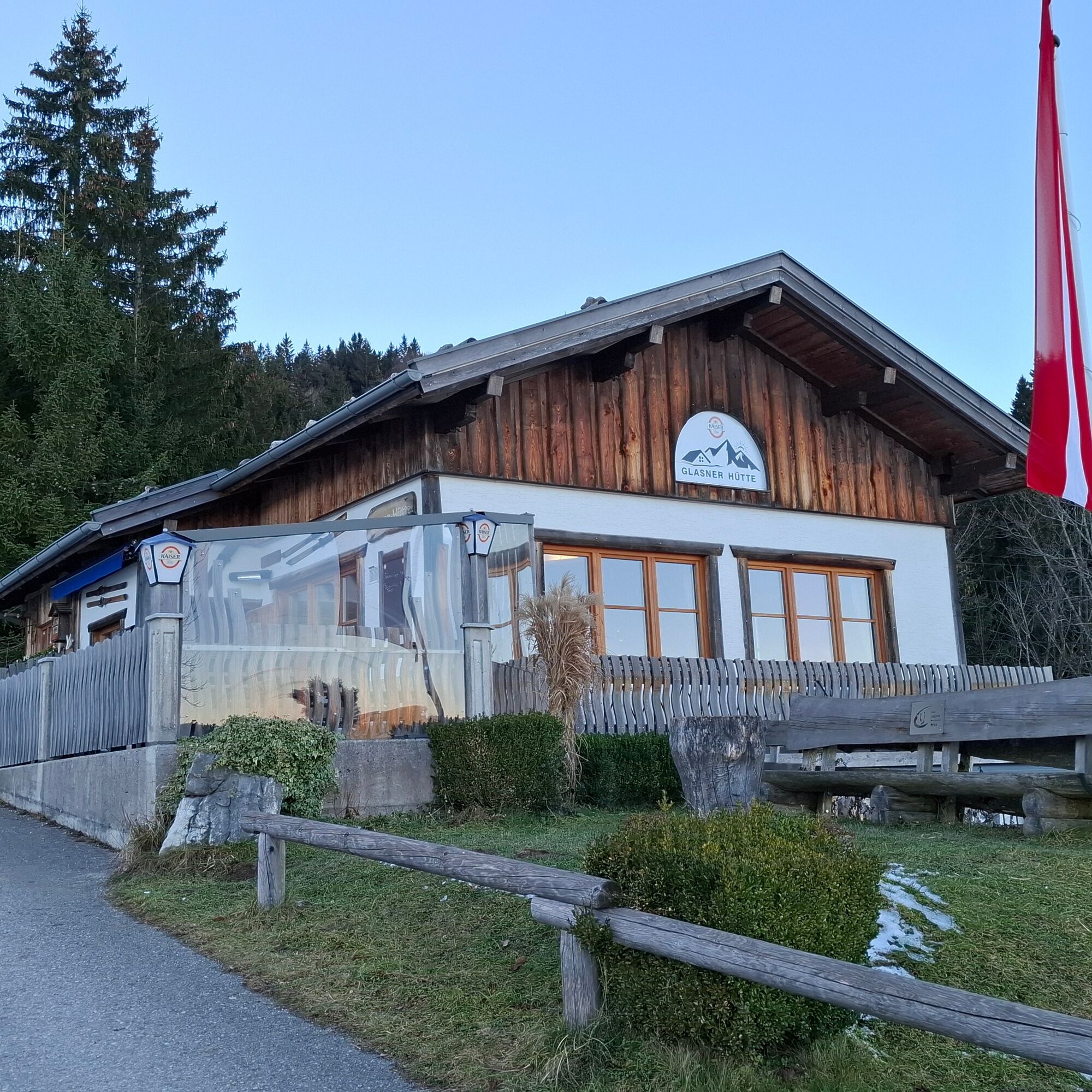
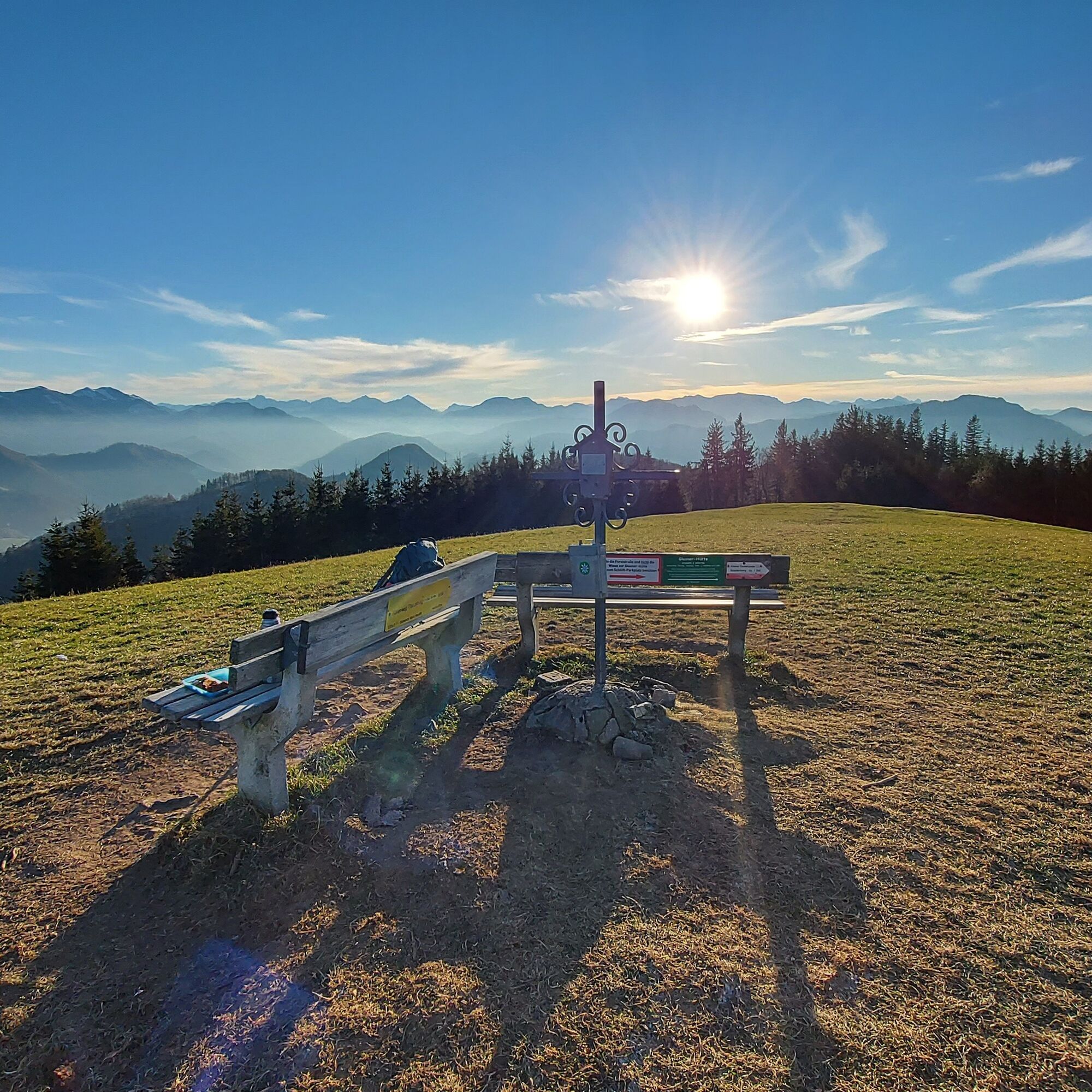
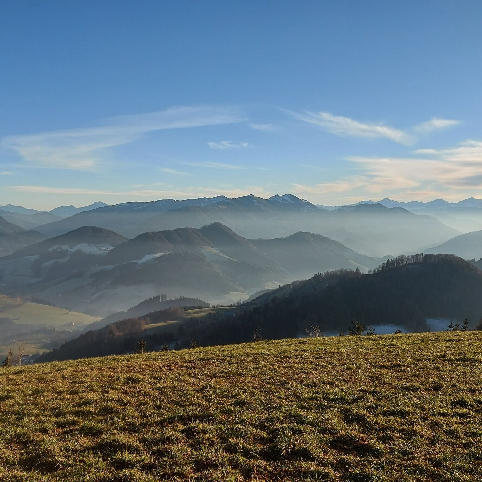
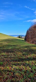
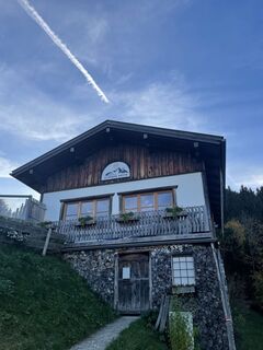
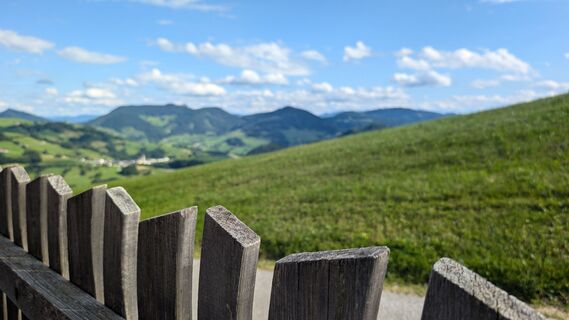
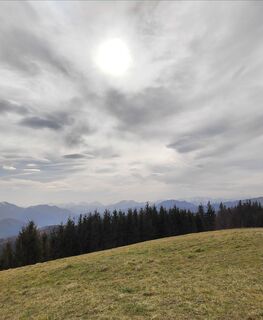
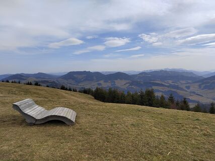
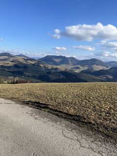
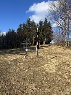
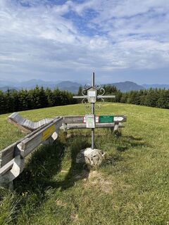
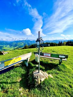
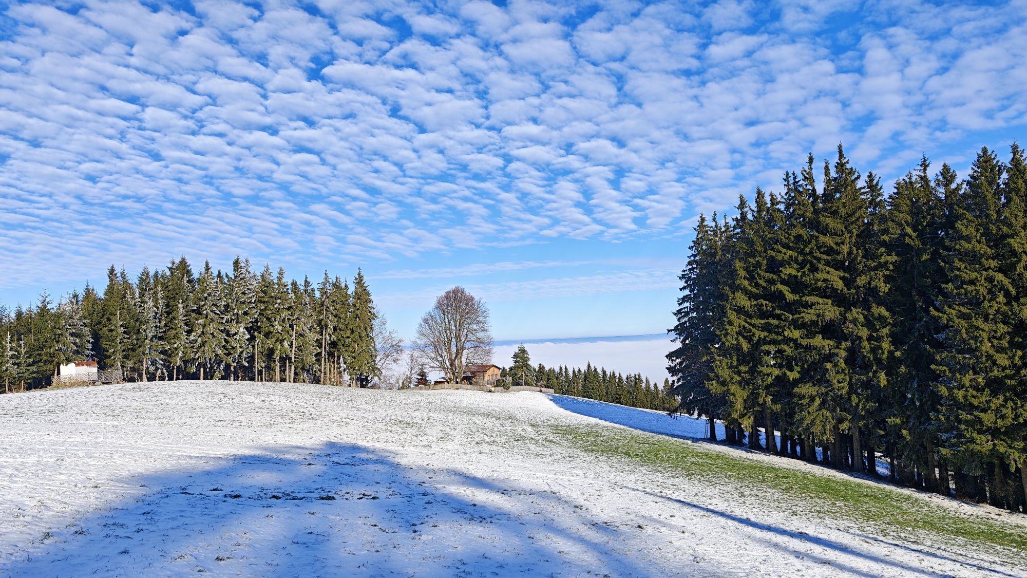
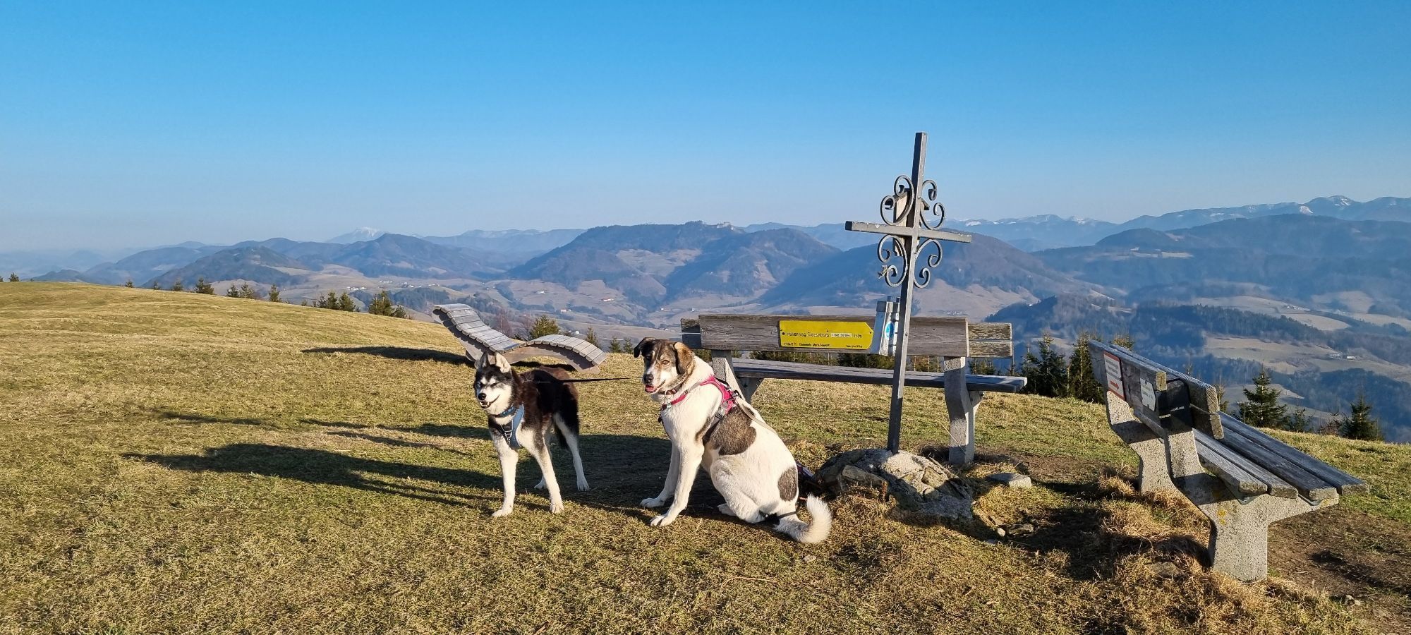
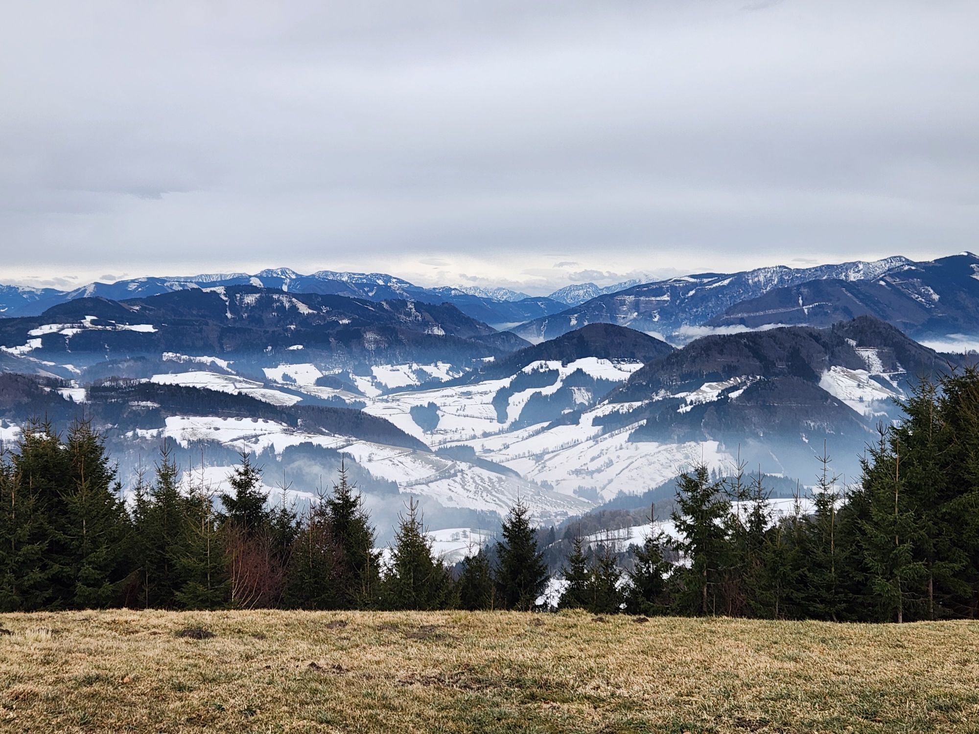
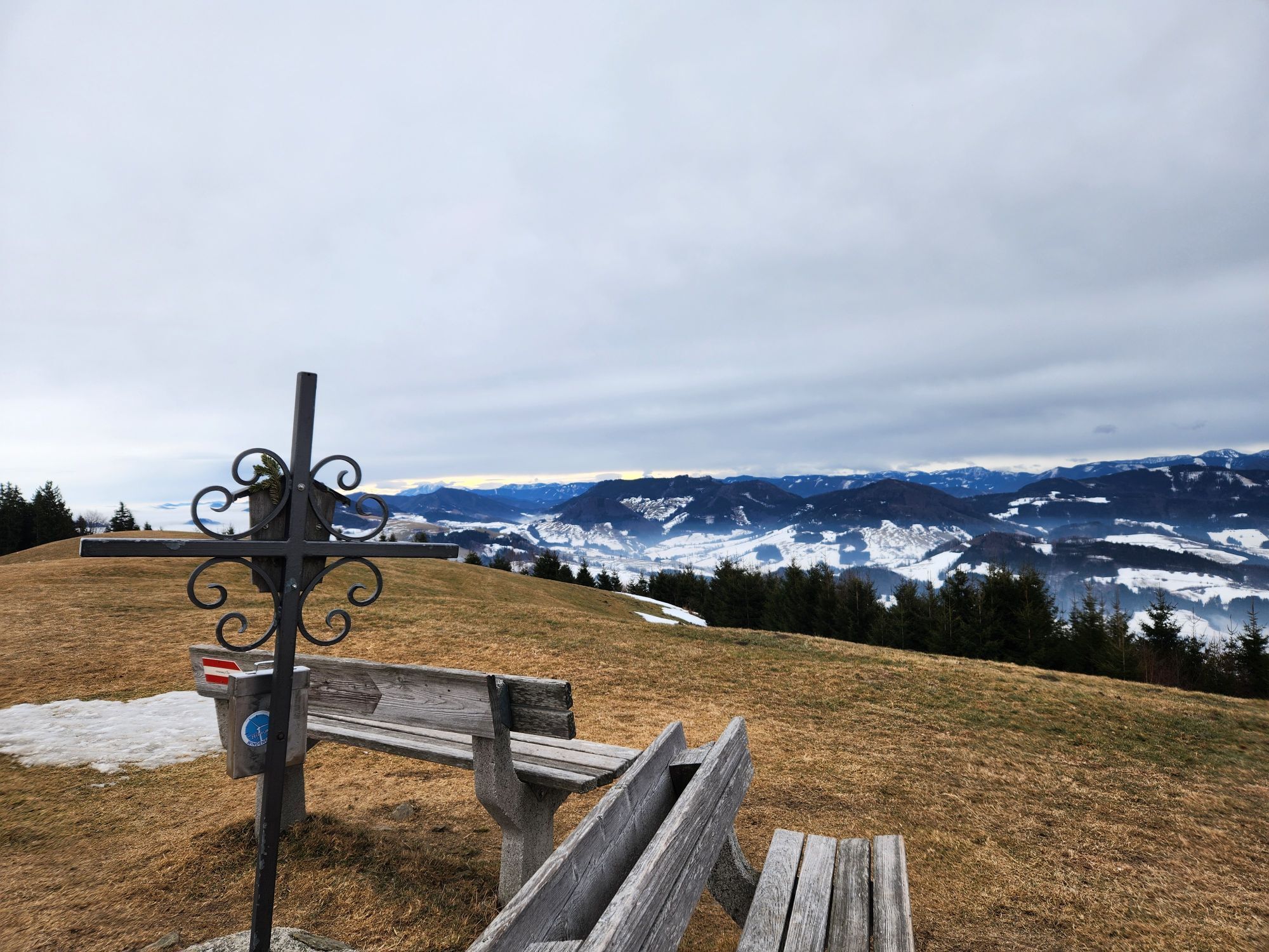
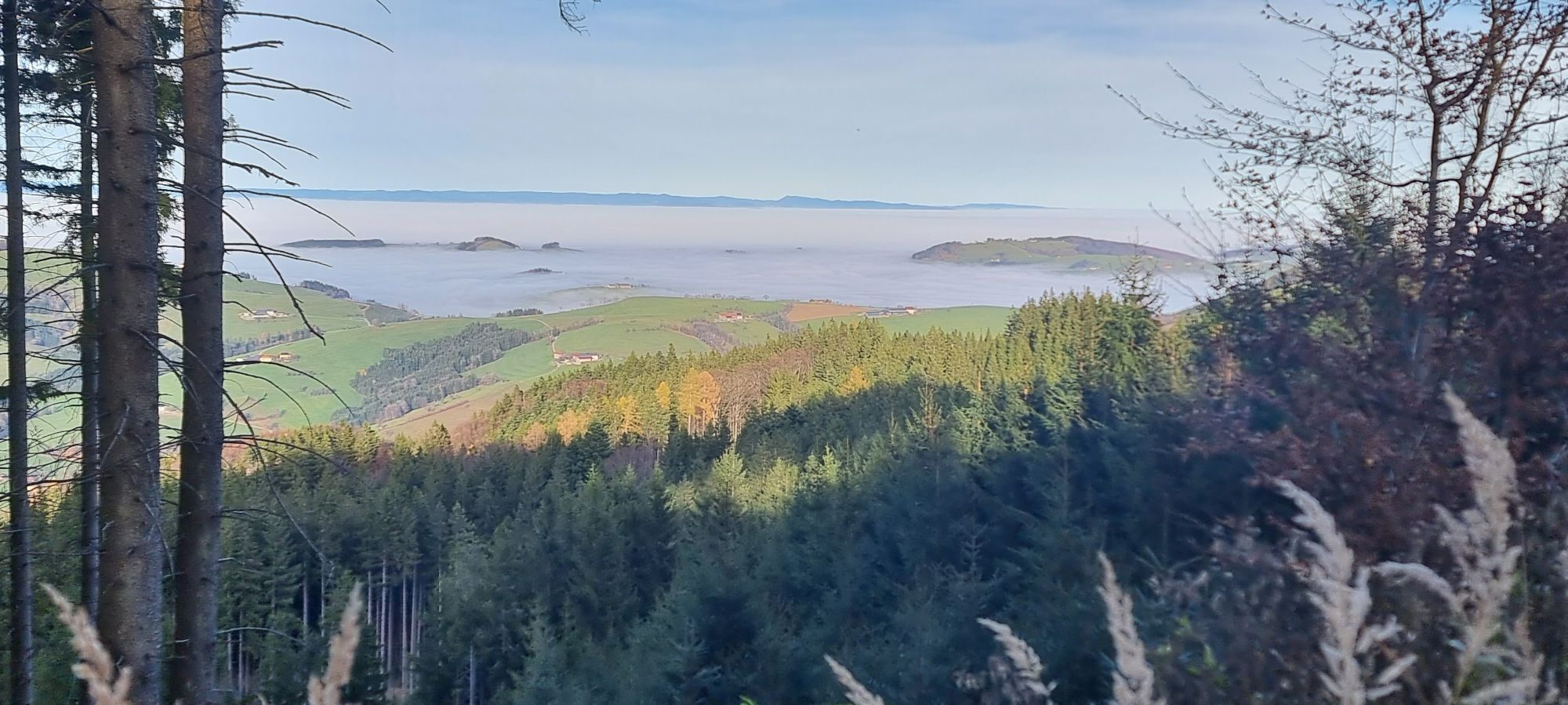
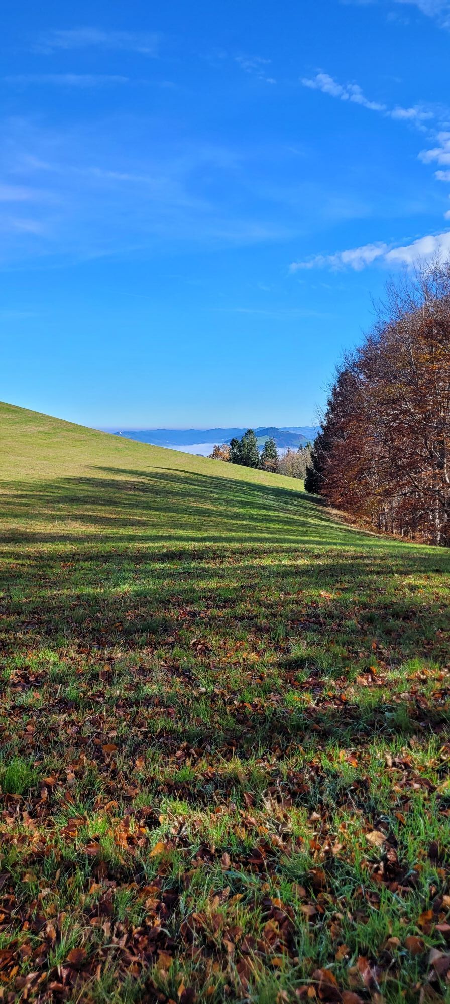
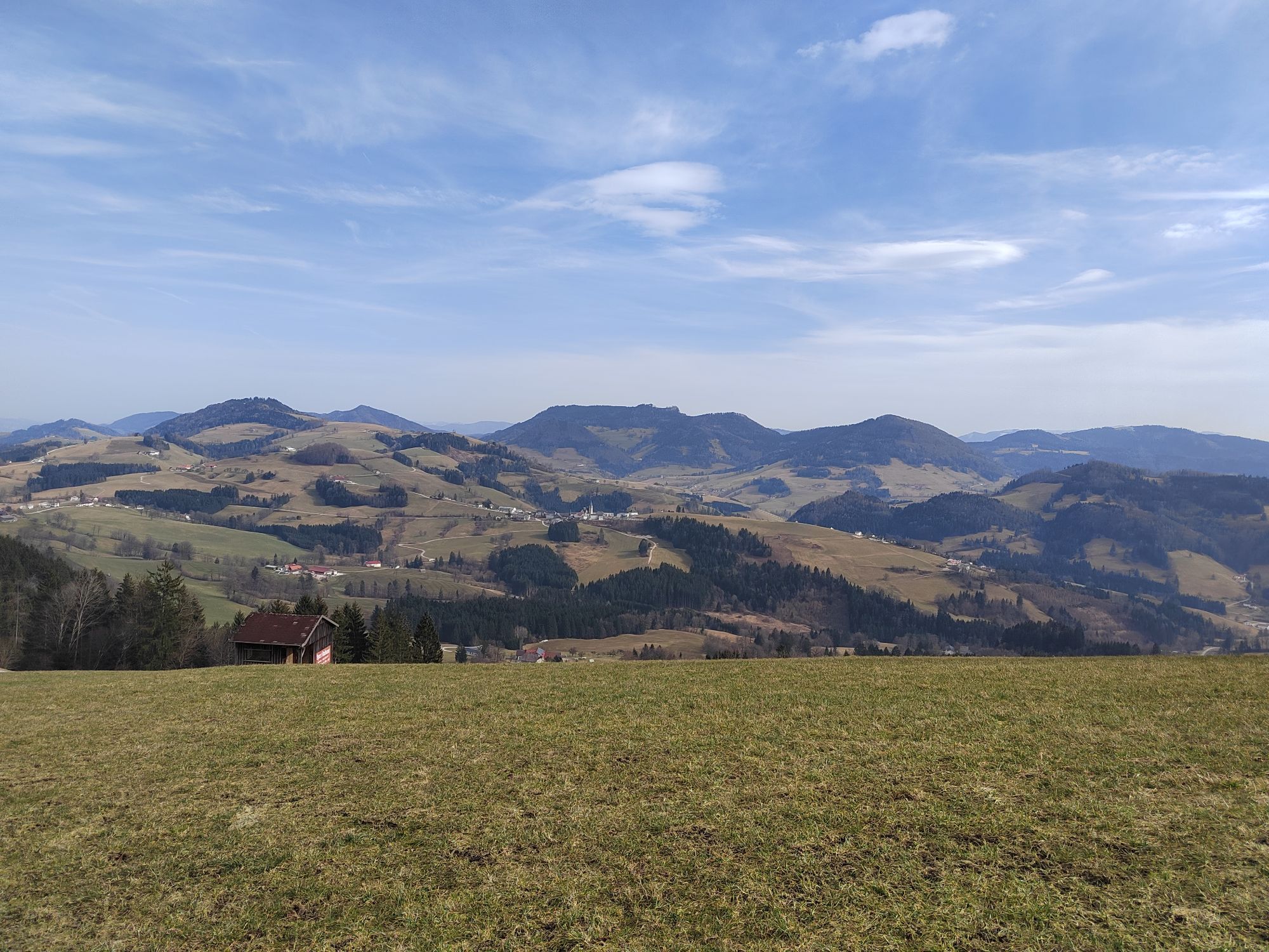
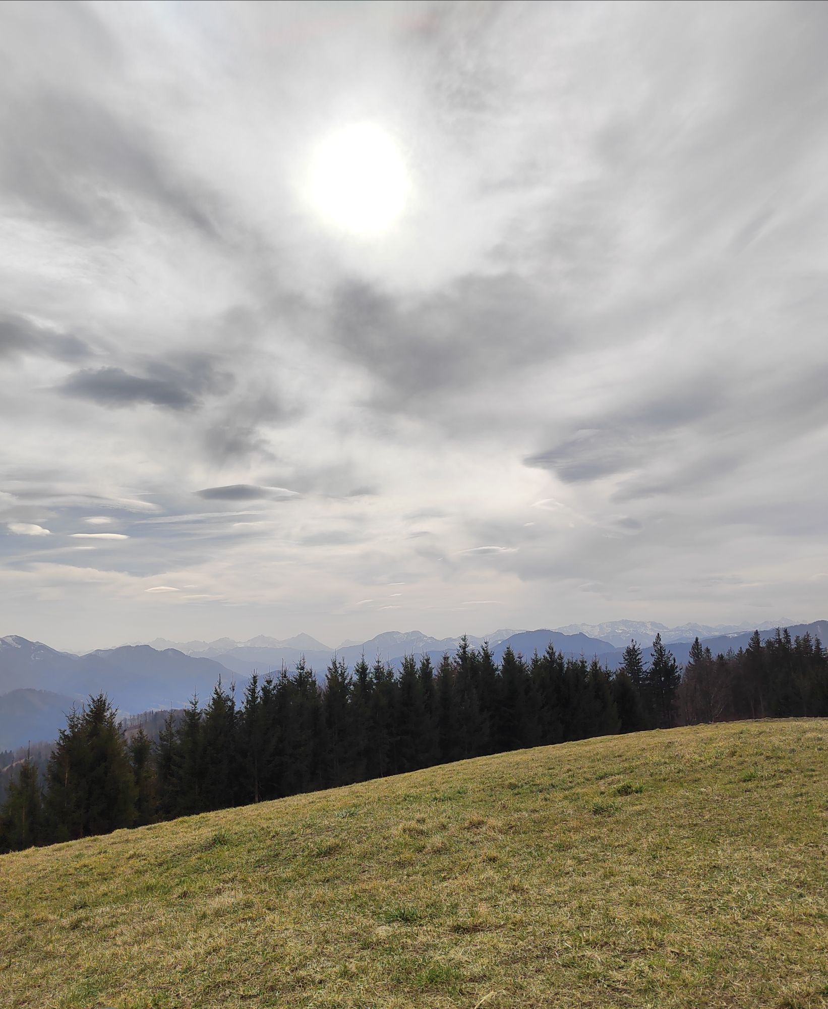
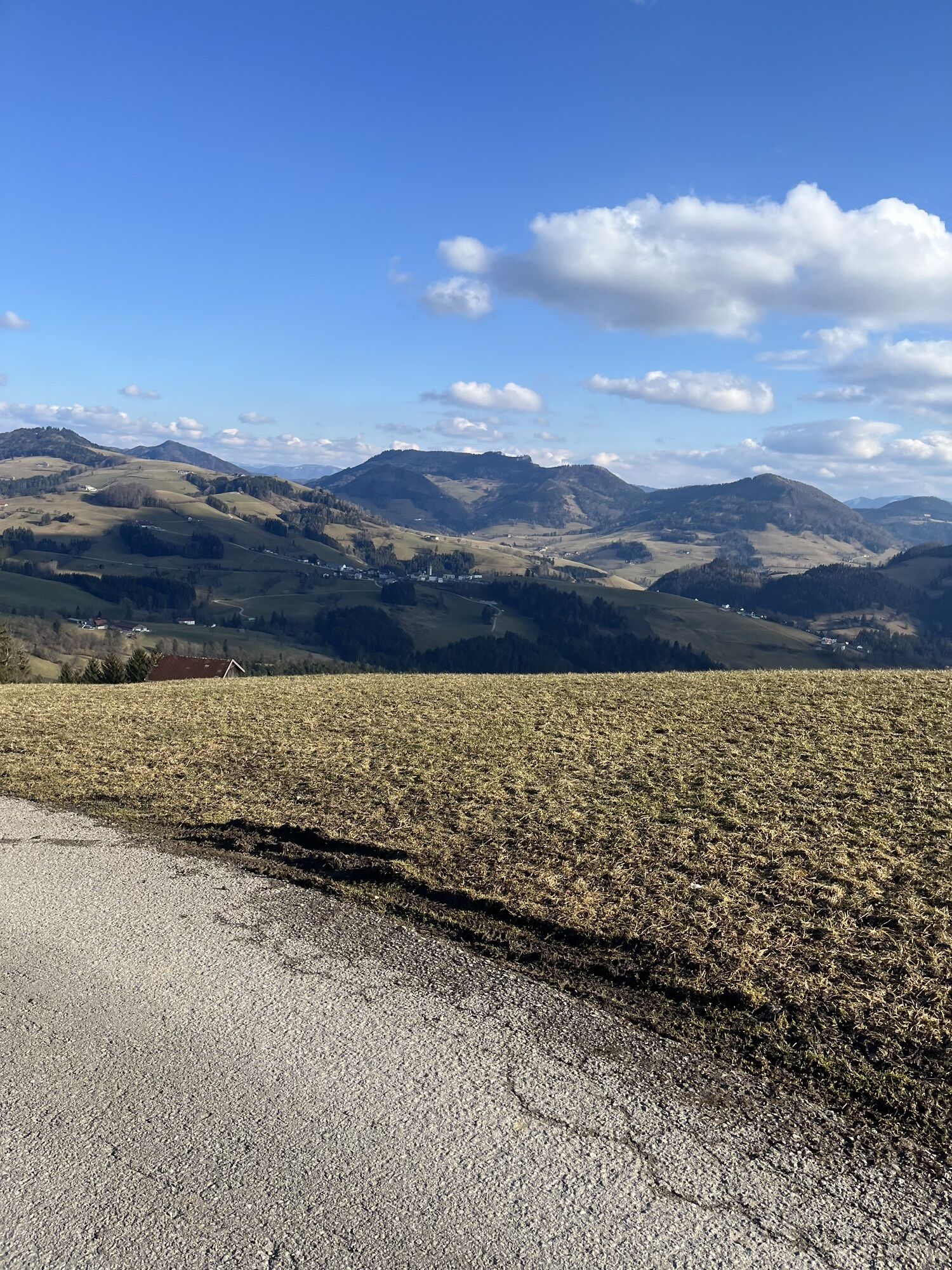
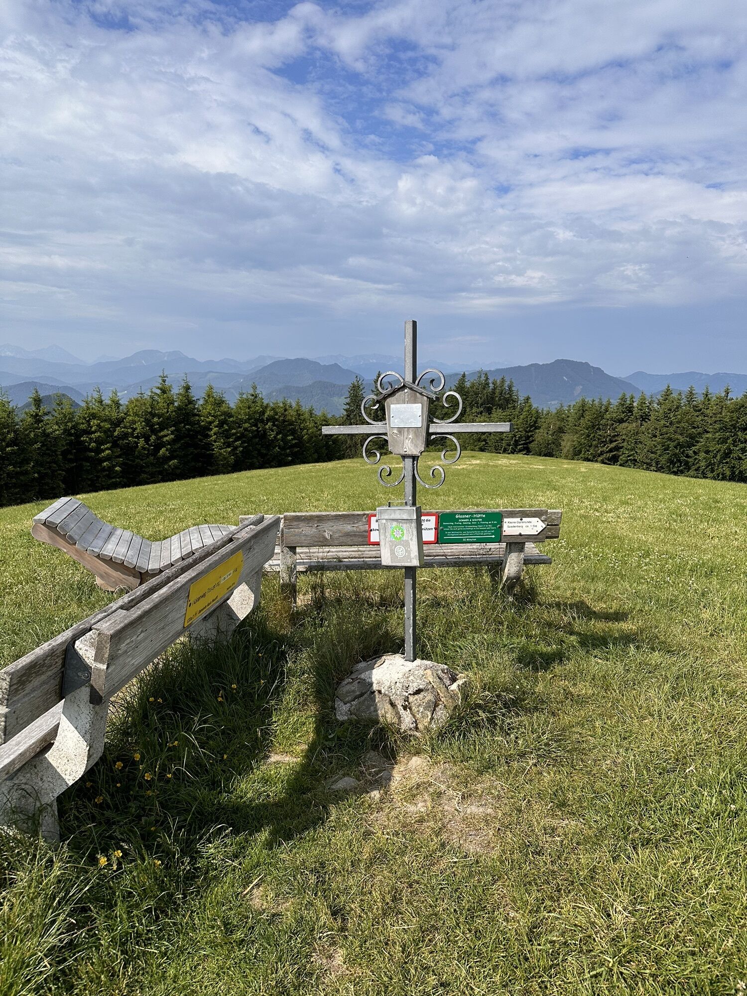
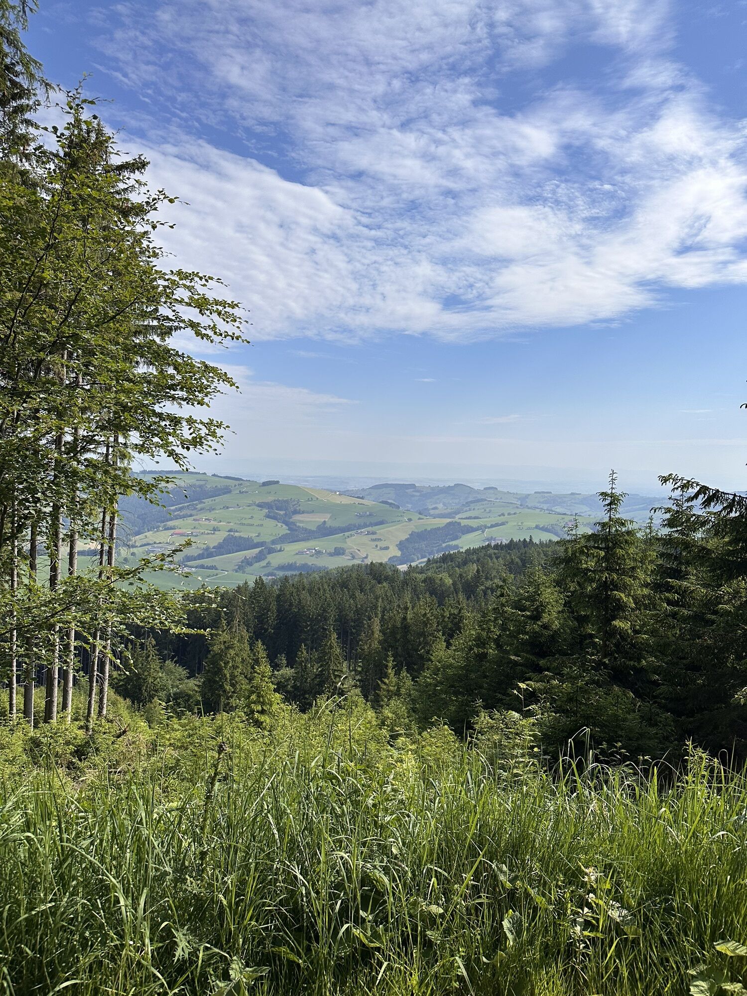
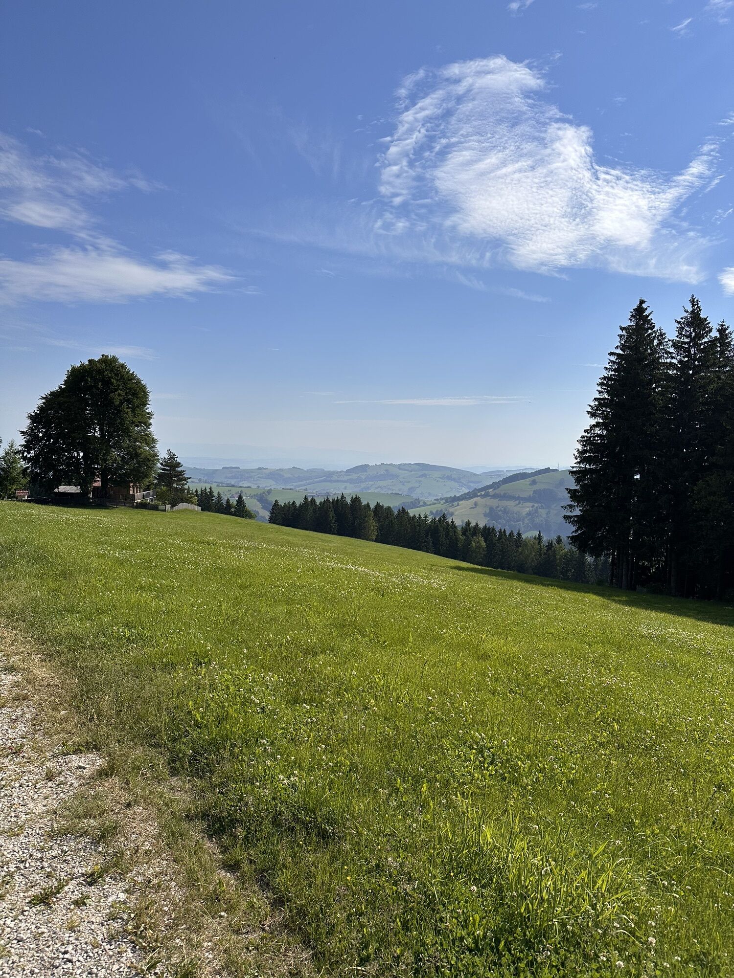
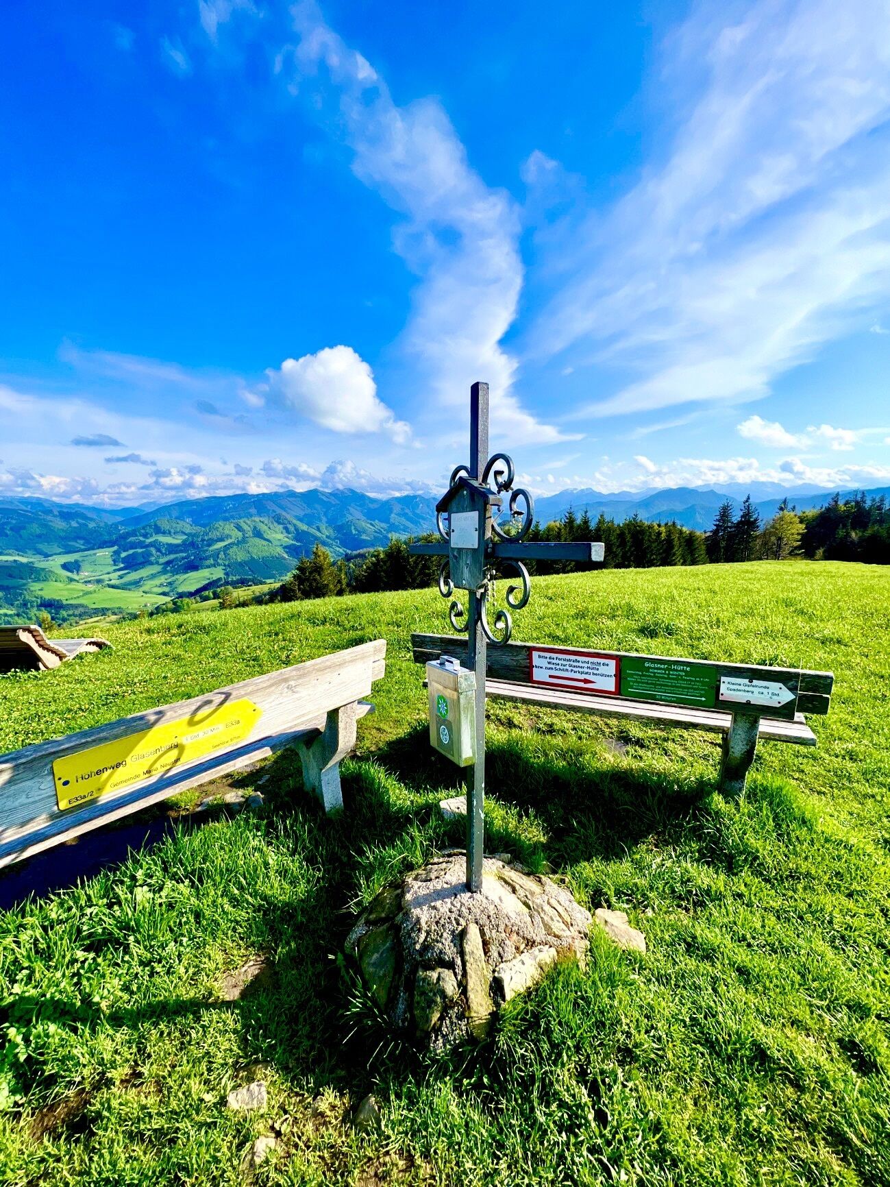
The starting point of the circular hike is the parking lot at the Glasenberg ski lift in Maria Neustift. First, you pass the Glasnerhütte (place to stop for refreshments) on a gravel road that gently climbs past some weekend houses until you enter a forest. This section runs parallel to the Voralpenweg 404 as well as hiking trail E33. After about 100 m, turn left onto a gravel path that leads into a gently ascending pasture area. After the mountain station of the ski lift, you reach the high plateau of Glasenberg. At the summit cross (971 m), a bench invites you to rest. Here, you will find a magnificent view of the Hallermauern, the Sengsengebirge, and the mountain world of the Kalkalpen National Park. The ridge trail (E33a) continues over natural flower and herb meadows to a wooden shed, where you turn right onto a marked forest road. Follow this until the Durchlaufner Sattel, where there is another beautiful panoramic view of Maria Neustift and the surrounding mountains. The path leads left downhill to the Durchlauf farmhouse. From there, you hike on a farm road for about 30 minutes back to the starting point at the parking lot.
Hiking trail to the Glasenberg summit: E33
Hiking trail from the summit back to the starting point: E33a
Áno
Clothing:
Functional or ski underwear Fleece jacket (in very cold temperatures) Waterproof outdoor jacket or light winter jacket Warm softshell pants or hiking pants - In severe cold: ski pants Cap and gloves Scarf or multifunctional cloth Gaiters (in snow) Warm hiking socks Sturdy, winter-appropriate footwear (waterproof, grippy sole)Equipment:
Sunglasses Sunscreen Seat pad Hiking poles or ski poles (with winter baskets) if needed Light crampons or Grivel Backpack (ideally with rain cover) First aid kit Headlamp Thermos (e.g. with tea) and carbohydrate-rich snacks/foodAdjust your routes to current weather reports and act according to the seasonal hazards in the terrain.
Alternatively, you can take the bus and walk from the village of Maria Neustift to the starting point of the route, the parking lot at the Glasenberg ski lift. The walking time is about one hour.
Parking lot at the Glasenberg ski lift (fee required).
2
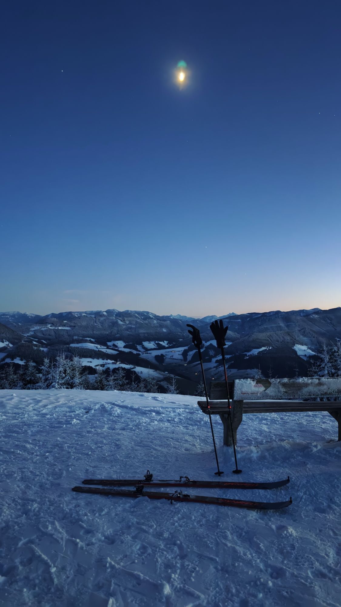
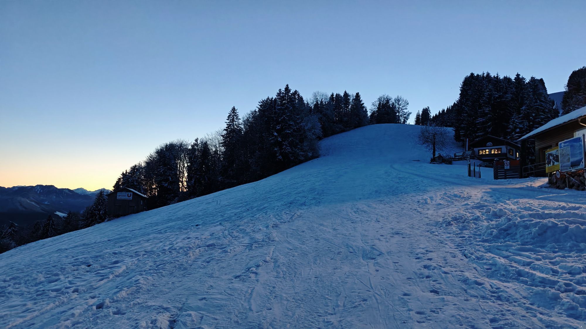
The sunrise at Glasenberg is special. Afterwards, you have the opportunity to have breakfast at the Glasnerhütte (Thu-Sun).
Stop in the village at Gasthaus Schaupp, Gasthaus Roisentaverne, Bakery & Café Steinparzer.
Regional specialties to take away from the self-service shop Stubauer.

Obľúbené výlety v okolí
-
4,9
Ennser Hut - Almkogel (from Bamacher car park)
strednáTuristika 3,53 km -
4,8
Steinerner Jäger (1185m) und Schieferstein (1206m) ab Parkplatz Hochhabichler
strednáTuristika 4,46 km -
4,7
GROSSRAMING Bamacher, Burgspitz, Almkogel, Ennshütte 20240730
strednáTuristika 10 km -
4,3
Freithofberg
strednáTuristika 9,15 km -
4,7
Steinerner Jäger (1185m) und Schieferstein (1206m) ab Parkplatz Hack
ťažkéTuristika 8,58 km -
4,2
Sonnkogel (1177m) und Hohe Dirn (1134m) ab Parkplatz Hohe Dirn
strednáTuristika 7,71 km -
4,4
Kleine Gipfelrunde Glasenberg
svetloTuristika 4,99 km -
3,8
Lindaumauer (1103 m)
Turistika 3,40 km -
4,5
Lindaumauer, Maria Neustift
strednáTuristika 5,53 km -
4,6
Gamsstein (1275m) und Gschwendtalm ab Parkplatz Brunnbach
strednáTuristika 7,37 km
Turistika a stopovanie


Nenechajte si ujsť ponuky a inšpiráciu na ďalšiu dovolenku
Vaša e-mailová adresa bol pridaný do poštového zoznamu.