







Lourdes - Batsurguère Valley route

Start: from the Pic du Jer funicular station, join the Greenway. Turn left and follow the Gave de Pau for about 1.5 km.
Leave the Greenway by turning right and cross the gave.
Reaching the departmental...
Start: from the Pic du Jer funicular station, join the Greenway. Turn left and follow the Gave de Pau for about 1.5 km.
Leave the Greenway by turning right and cross the gave.
Reaching the departmental road, turn right towards Aspin-en-Lavedan then at the village entrance, turn left towards Viger.

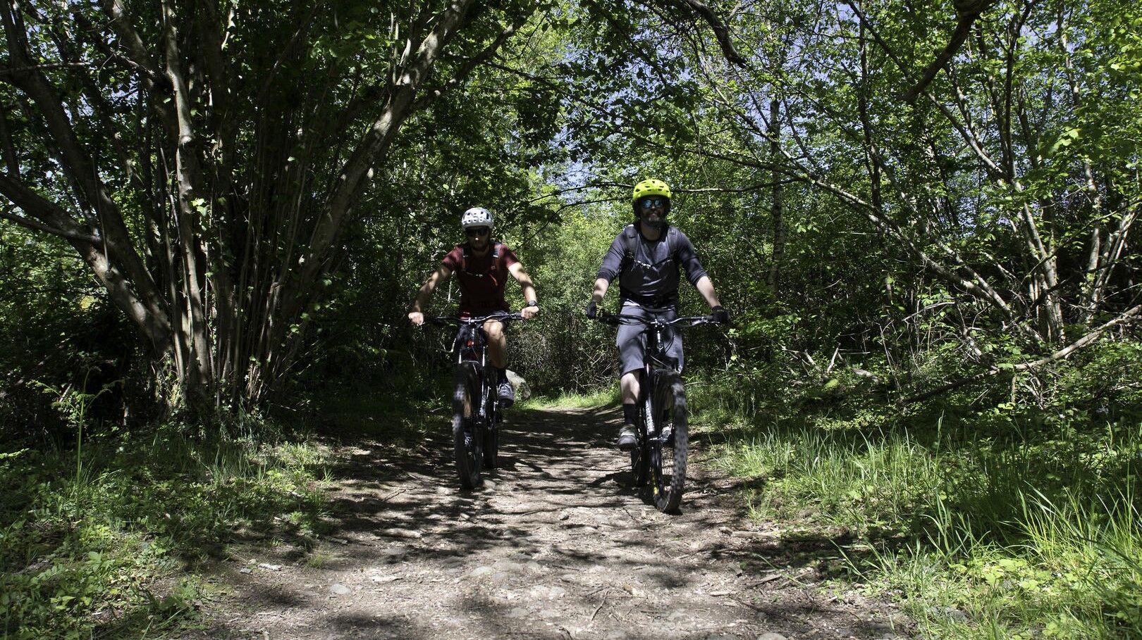

Mountain Biking as you want! but…
Use the marked trails for your safety and respect the direction of the routes Do not overestimate your abilities and stay in control of your speed Be careful and courteous when passing or crossing hikers as pedestrians have priority Check the condition of your mountain bike and plan for supplies and repair accessories If you go alone, leave your route with your contacts Wearing a helmet is strongly recommended Respect private property and cultivated areas Beware of agricultural and forestry machinery Close the gates Avoid picking wild flowers, fruits, and mushrooms Do not disturb the peace of wild animals Keep your litter, be discreet and respectful of the environmentIn case of emergency, call 112
To learn more about our destination, visit our website
Track 26 % / Single Track 50 % / Road 24 %
Obľúbené výlety v okolí
-
Lourdes Hautacam
ťažkéCestný bicykel 55,4 km -
THE GAVES GREENWAY BY BIKE
svetloCyklistika 18,8 km -
BERNADETTE'S PATH TO BARTRÈS
svetloTuristika 4,52 km -
Lourdes Vélosud (V81) along the Gave
svetloCyklistika 33,0 km -
5,0
Lourdes - Lourdes Lake Circuit
svetloMountainbike 6 km -
Lingous Pass Loop, Castelloubon valley
svetloCyklistika 20,9 km -
SOUM DE CAUBI ET DE BASTA
svetloTuristika 19,1 km -
Parcours n°5 - Le pays de Lourdes
strednáCestný bicykel 54,7 km -
Parcours n°3 - Coteaux de Saint-Pé-de-Bigorre
strednáCestný bicykel 38,9 km -
Lourdes Vélosud (V81) and Pyrenean foothills
strednáCyklistika 28,4 km
Turistika a stopovanie


Nenechajte si ujsť ponuky a inšpiráciu na ďalšiu dovolenku
Vaša e-mailová adresa bol pridaný do poštového zoznamu.





