







Mountain Bike Route 8: Grand Tour of Grésigne
Grésigne Forest: Covering 3,530 hectares, this state forest is the largest in the Tarn and one of the largest oak forests in Europe. Its historical remnants, high-quality wood, and diverse wildlife (ranking...
Grésigne Forest: Covering 3,530 hectares, this state forest is the largest in the Tarn and one of the largest oak forests in Europe. Its historical remnants, high-quality wood, and diverse wildlife (ranking third among Europe's richest forests in terms of insects, with 2,400 distinct families) make it a treasure for all. The National Forest Office (ONF) advises staying on marked trails. Be cautious during hunting season.

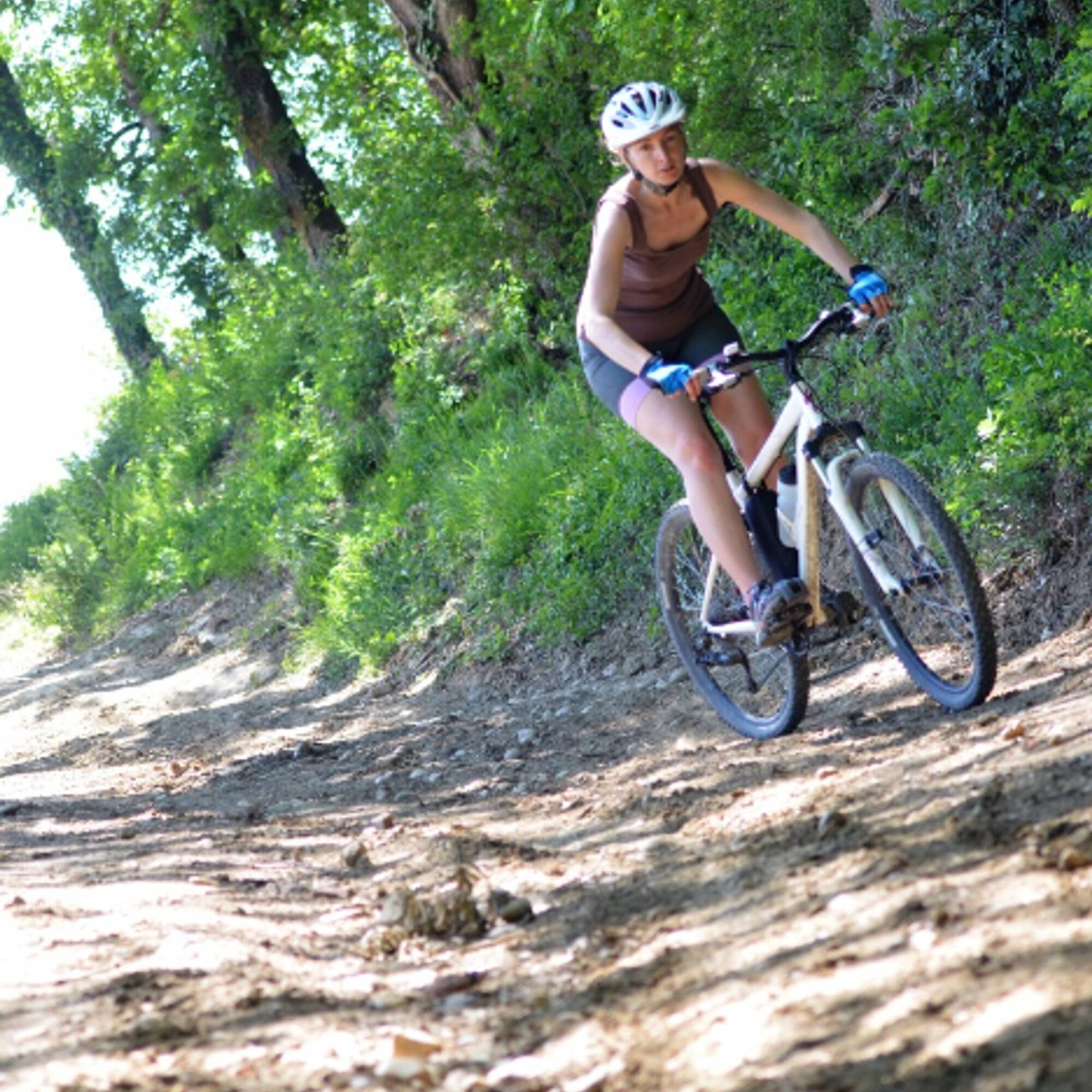
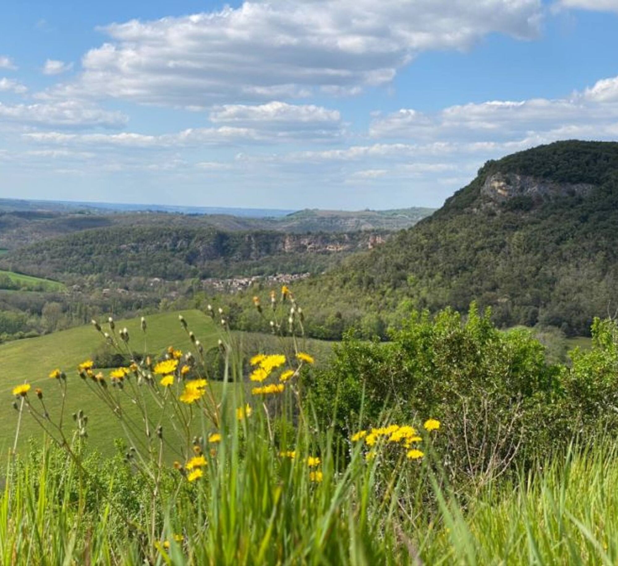
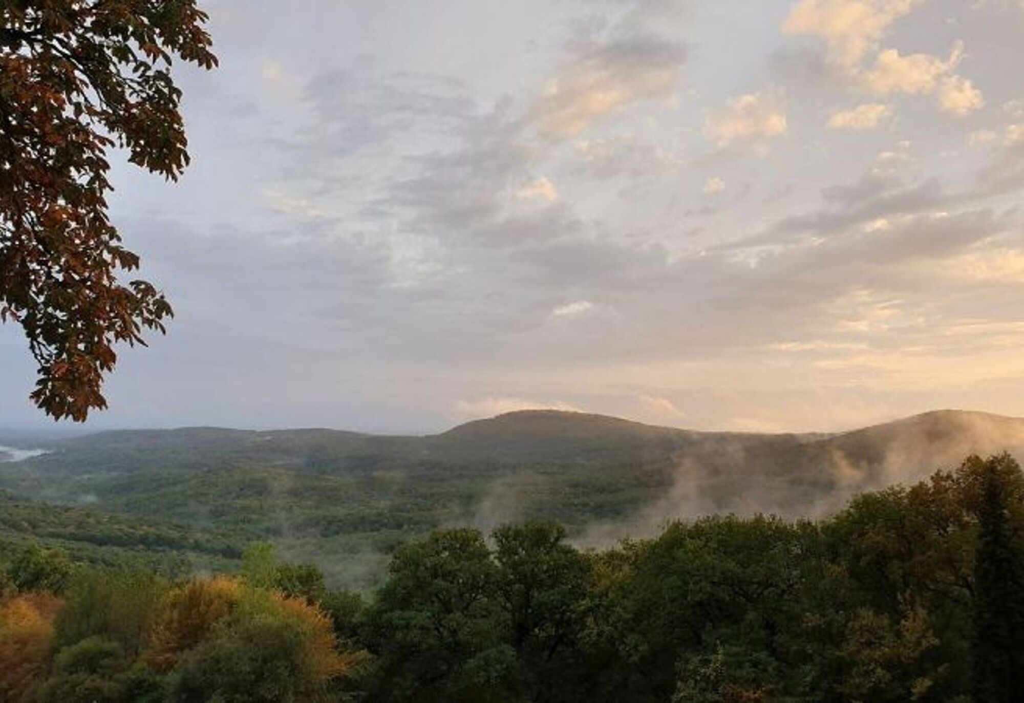

Starting from the Vère-Grésigne Leisure Center, cross the road and warm up by taking a long stony path that runs alongside the fields. Join the GR46 trail and then the GR de Pays de Castelnau à Penne. Traverse a varied path to the north of the Grésigne State Forest. Circumvent the forest, pass by the Plégade roundabout, and descend to the base of the Puycelsi citadel. Rejoin the GR46 trail, which takes you towards Laval and then Lacapelle. Pass through the Sivens Forest and finish with a descent back to the leisure center lake.
Difficult
Obľúbené výlety v okolí
-
5,0
Chemin de la Vère au Saint-Hussou
strednáTuristika 14,2 km -
Maraval Trail - Short Variant
strednáTuristika 5,02 km -
Sentier des dunes de Maraval aux Touardes
strednáTuristika 8,57 km -
The Suquets of Penne
svetloTuristika 10,3 km -
Mountain Biking Trail: Grande Boucle Bastides and Vineyards of Gaillac
ťažkéMountainbike 144,4 km -
Sentier de Mespel
strednáTuristika 5,73 km -
GR46 ® - The Bastides of Albi
ťažkéTuristika 114,3 km -
Circuit VTT n°27 Bonnan Vert
svetloMountainbike 8,18 km -
Tarn Horse Route: Puycelsi / Bruniquel
strednáJazda na koni 11,9 km -
Tour du Tarn à cheval : Bruniquel / Roussayrolles
ťažkéJazda na koni 28,9 km
Turistika a stopovanie


Nenechajte si ujsť ponuky a inšpiráciu na ďalšiu dovolenku
Vaša e-mailová adresa bol pridaný do poštového zoznamu.





