







Vélo Pour Tous à Lectoure
Úroveň náročnosti: 1
Depending on the type of bike you use, a short passage on a path will probably require you to dismount for a few meters. The path levels out very quickly, so you will be able to get back on your bike shortly.
...Depending on the type of bike you use, a short passage on a path will probably require you to dismount for a few meters. The path levels out very quickly, so you will be able to get back on your bike shortly.
Distance: 8.6 km
Elevation gain: 134 m
Duration: about 45 minutes

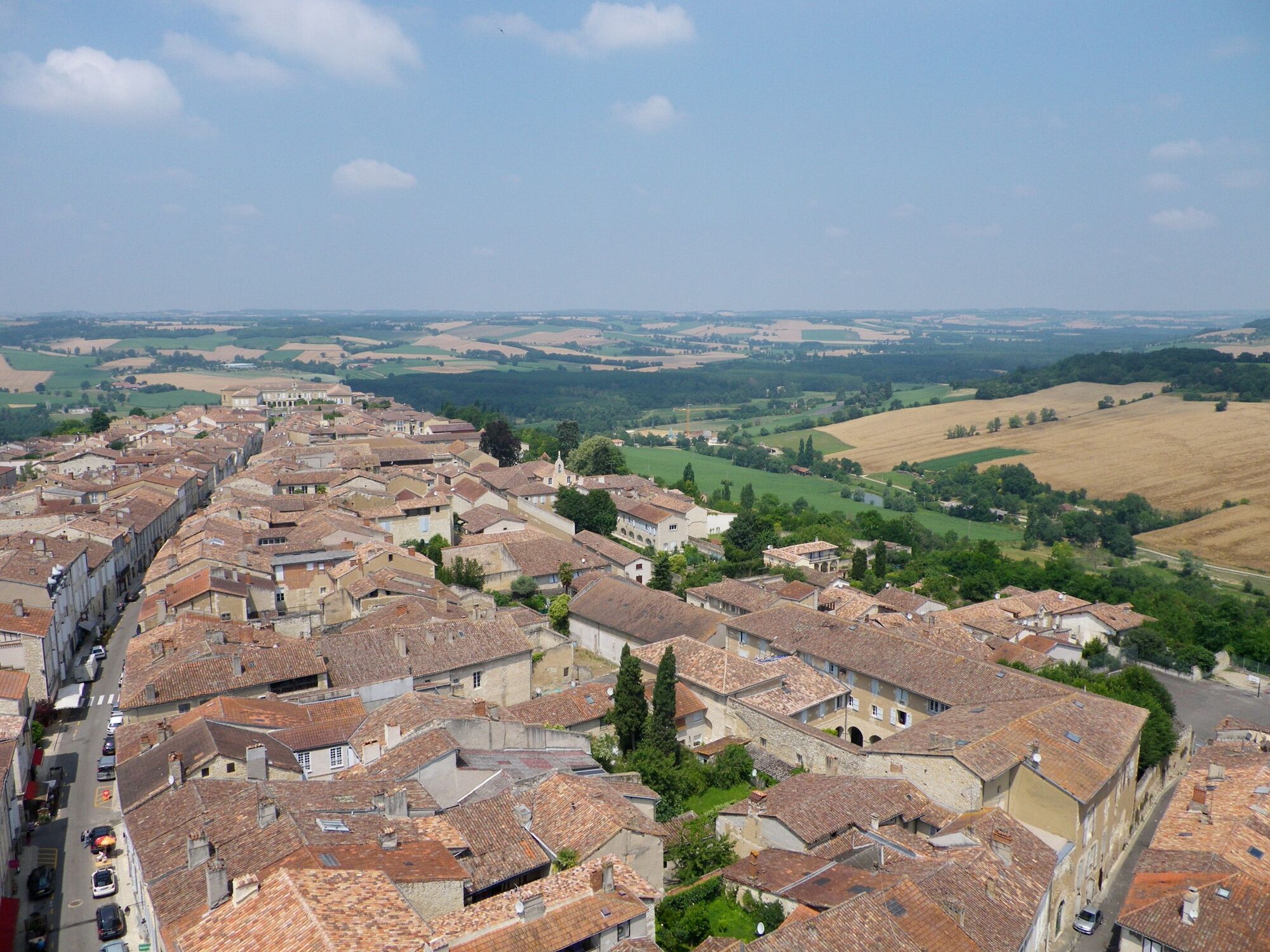
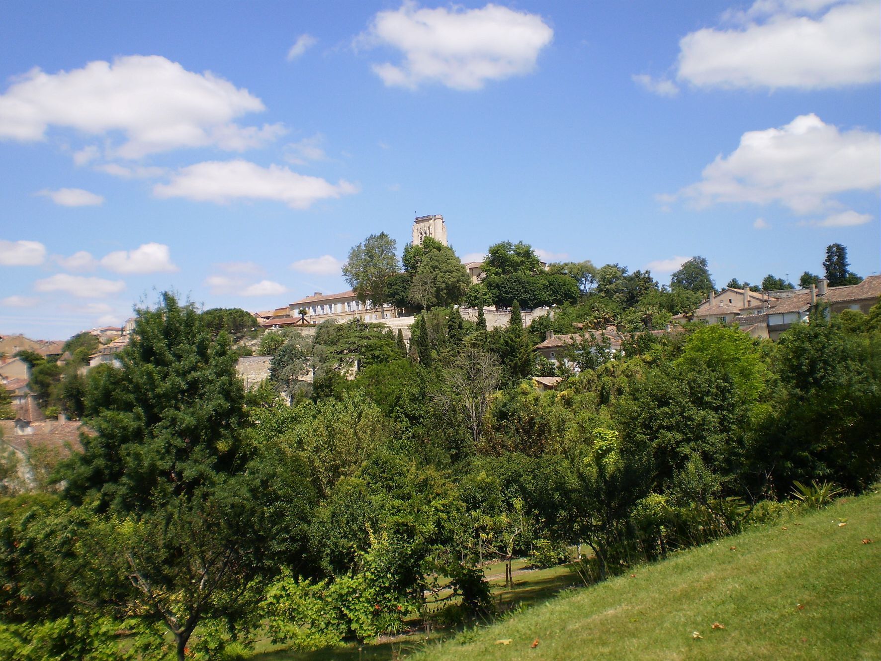
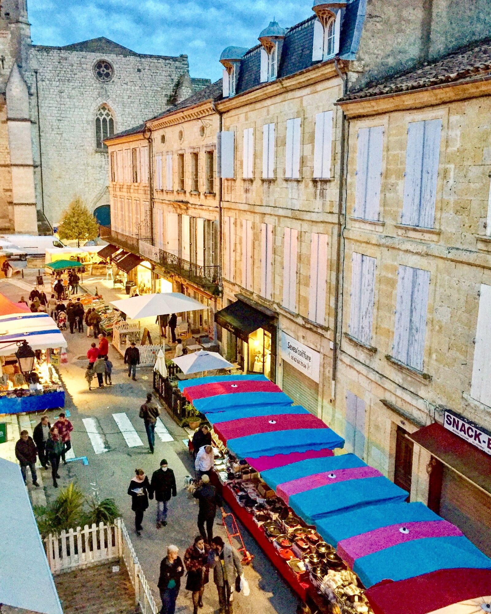
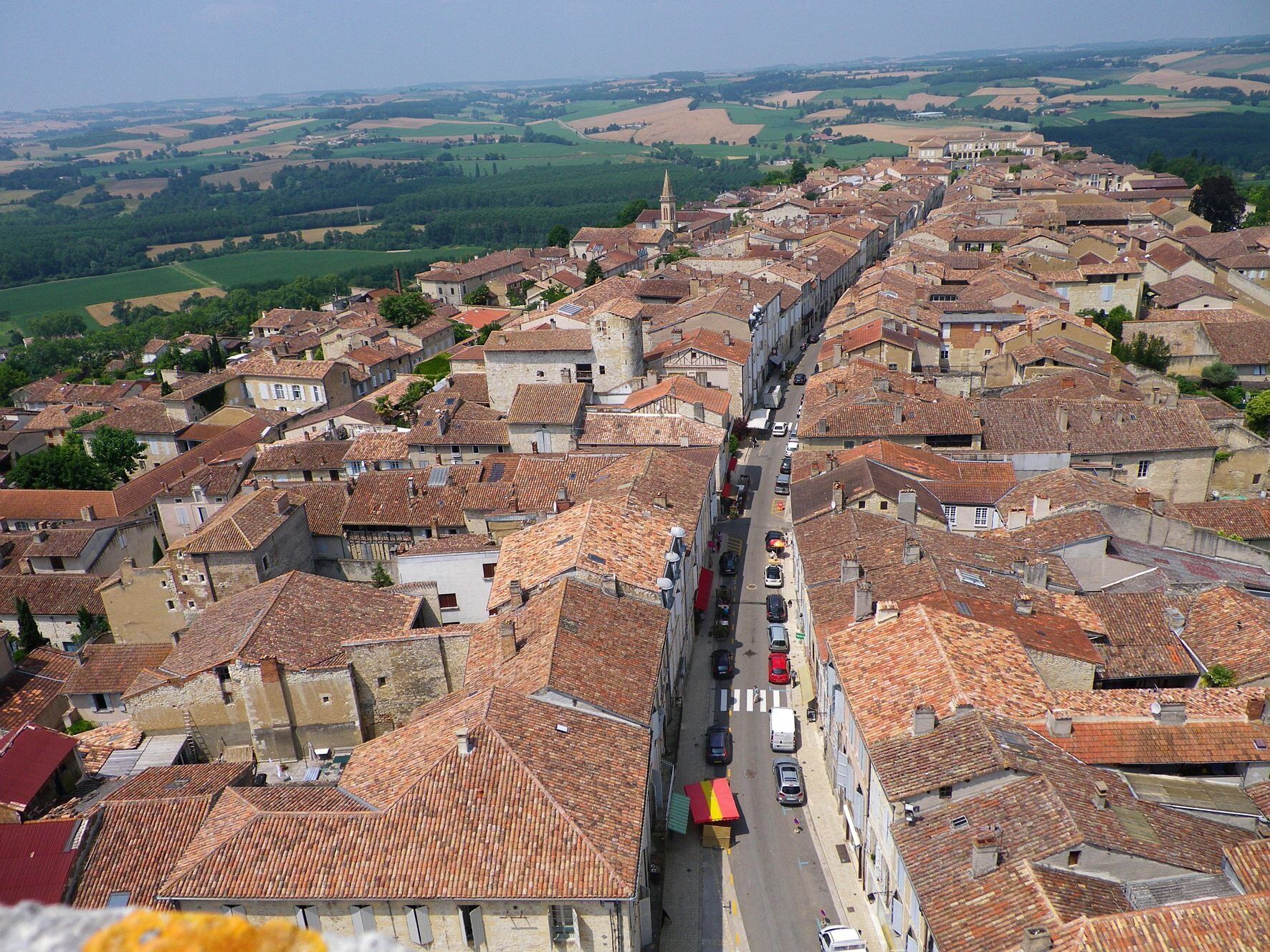

- Go down the rue nationale, just after the Hôtel des Doctrinaires.
- Turn right then at the end of the street, turn left towards the cemetery.
- Once past the cemetery, take the first right (côte de Péberet) and continue straight up the slope.
- Cross the stream at the bottom.
- At the next intersection turn right, follow the road in the valley, continuing slightly uphill to the left.
- At the intersection turn left, stay on the same road up to the ridge opposite.
- Once at the top at the intersection (on the ridge) turn right.
- Stay on the same road until the intersection with the N21.
- Go straight ahead taking the path (push the bike for the first few meters, the path levels out very quickly).
- At the next intersection, take the road straight ahead.
- At the following intersection, turn right, then continue straight ahead to return onto the N21 in town.
- Return via the N21 in the town, a bike lane secures the way back to the city center.
Áno
Before you leave:
Make sure the bike is in perfect mechanical condition, including tires and brakes Ensure the bike is properly adjusted to your body Wearing a helmet is strongly recommended Wearing a safety vest or bright clothing is recommended Bring a repair kit Make sure your smartphone battery is fully charged Remember that traffic laws apply to cyclists at all times Never ride more than two abreast and keep to a single file when traffic conditions require Respect other users as you would like to be respected Choose a route suited to your physical abilities Inform those around you of your itinerary Check the weather conditions A first aid kit is not essential but can be very useful Know and keep emergency phone numbers Respect the environment by not dropping your food wrappers on the roadside If you need to return at nightfall, make sure you can see and be seenIn case of emergency, call 112
Consider carpooling
Parking near the starting point
1
This route is partly on shared roads, mainly low-traffic roads typical of the Gers hinterland. These roads are used by various motor vehicles, such as cars and agricultural machinery. Everyone's vigilance is important.
On some sections, riding in single file may be necessary.
Obľúbené výlety v okolí
-
5,0
Jakobsweg
strednáTuristika 34,0 km -
Bike ride in Lectourois – Lectoure
ťažkéCyklistika 88,6 km -
Lectoure - In the footsteps of the pilgrims
strednáMountainbike 34,7 km -
La Romieu - On the GR652
svetloMountainbike 14,6 km -
La Romieu - hills of petit Auvignon
strednáMountainbike 23,3 km -
Entre Arratz et Auroue en coteaux de Lomagne
strednáCyklistika 30,7 km -
Lectoure - medieval Lomagne
strednáMountainbike 19,6 km -
La Romieu - Collines, vallées et bois
svetloMountainbike 16,4 km -
Saint-Clar - The Auroue loop
svetloMountainbike 21,2 km -
La Romieu - En passant par l'Auvignon
svetloMountainbike 13,3 km
Turistika a stopovanie


Nenechajte si ujsť ponuky a inšpiráciu na ďalšiu dovolenku
Vaša e-mailová adresa bol pridaný do poštového zoznamu.





