


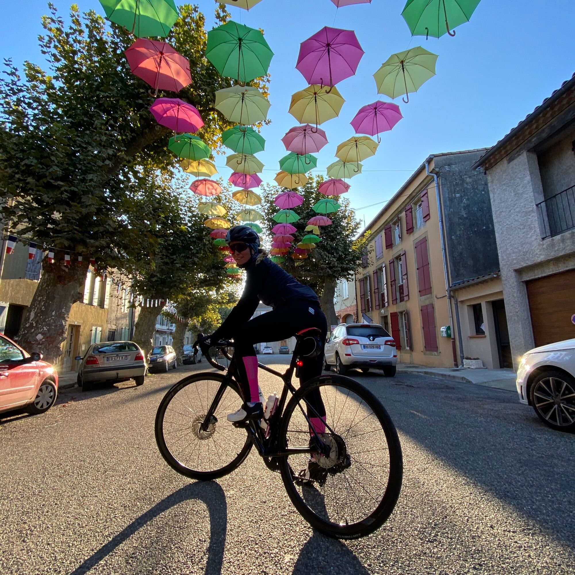
Cycling race route 1 - The Cathar Castles
Úroveň náročnosti: 4
This route is a must-see connecting several passes and castles known and marked by Cathar history.
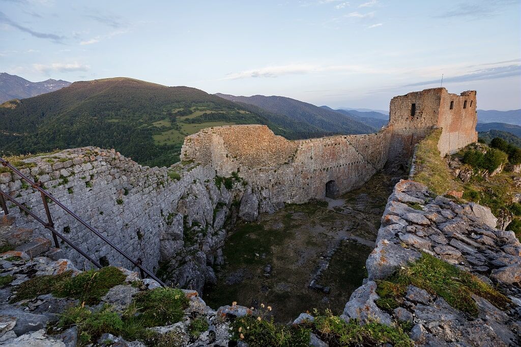
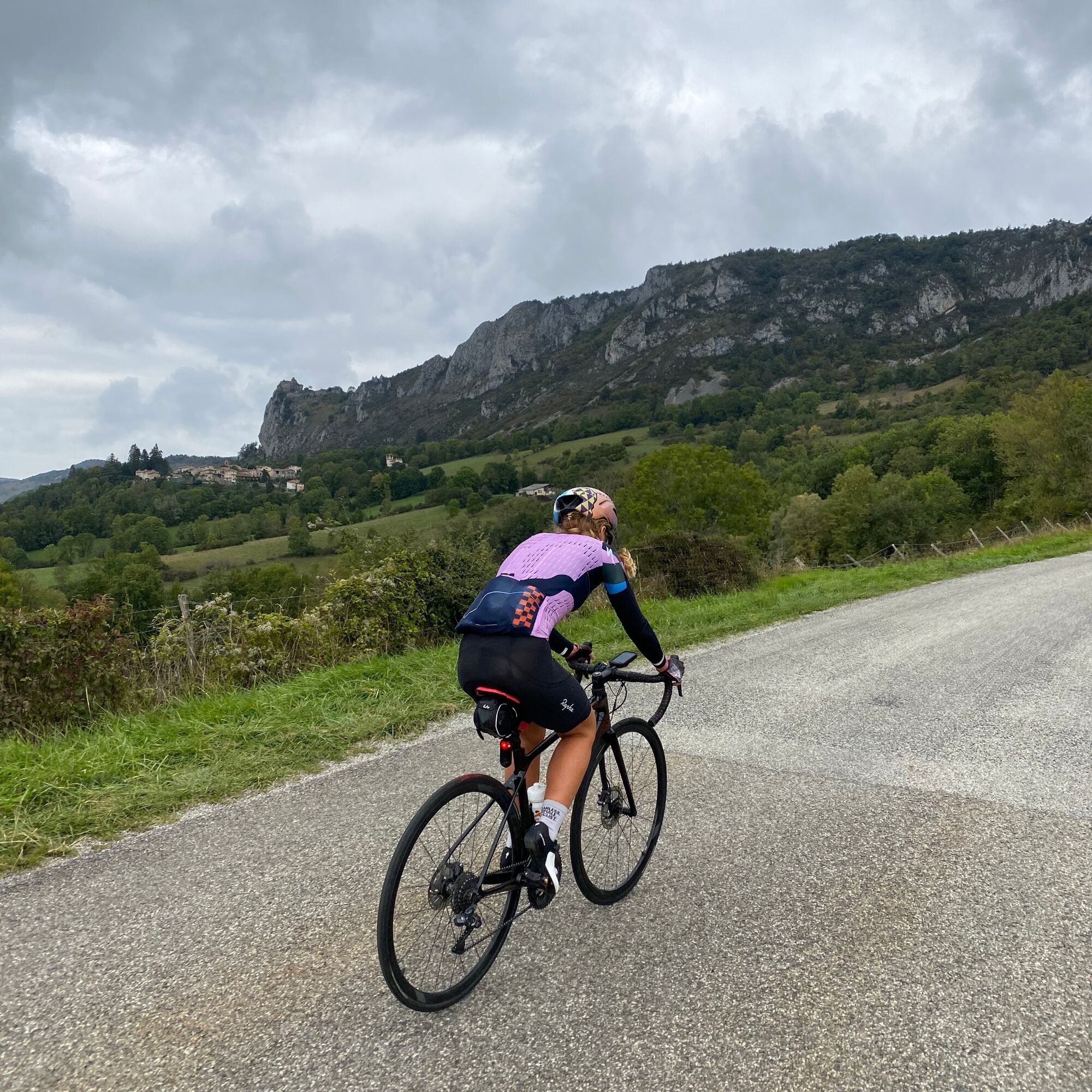
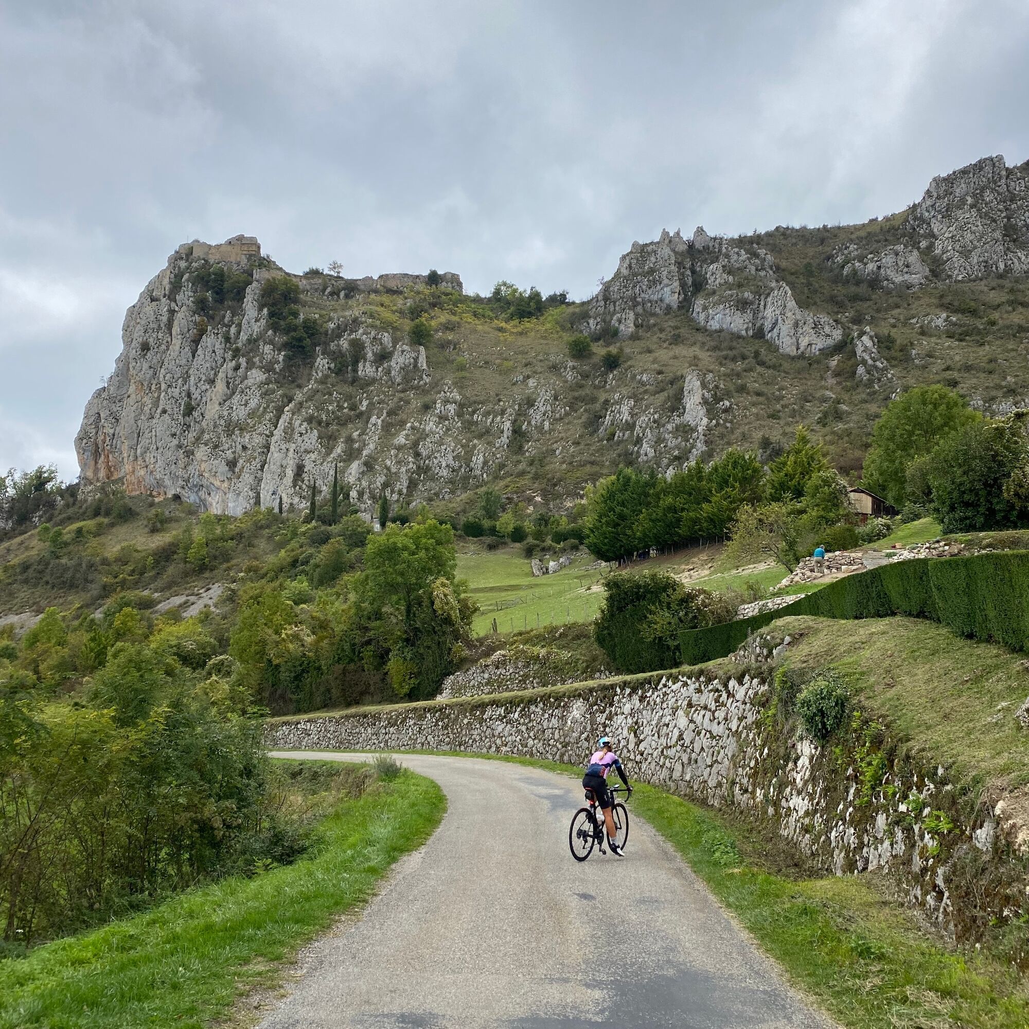
Going from Roquefixade, dominated by the castle ruins, to a corniche on a quiet sunlit road, you will...
This route is a must-see connecting several passes and castles known and marked by Cathar history.
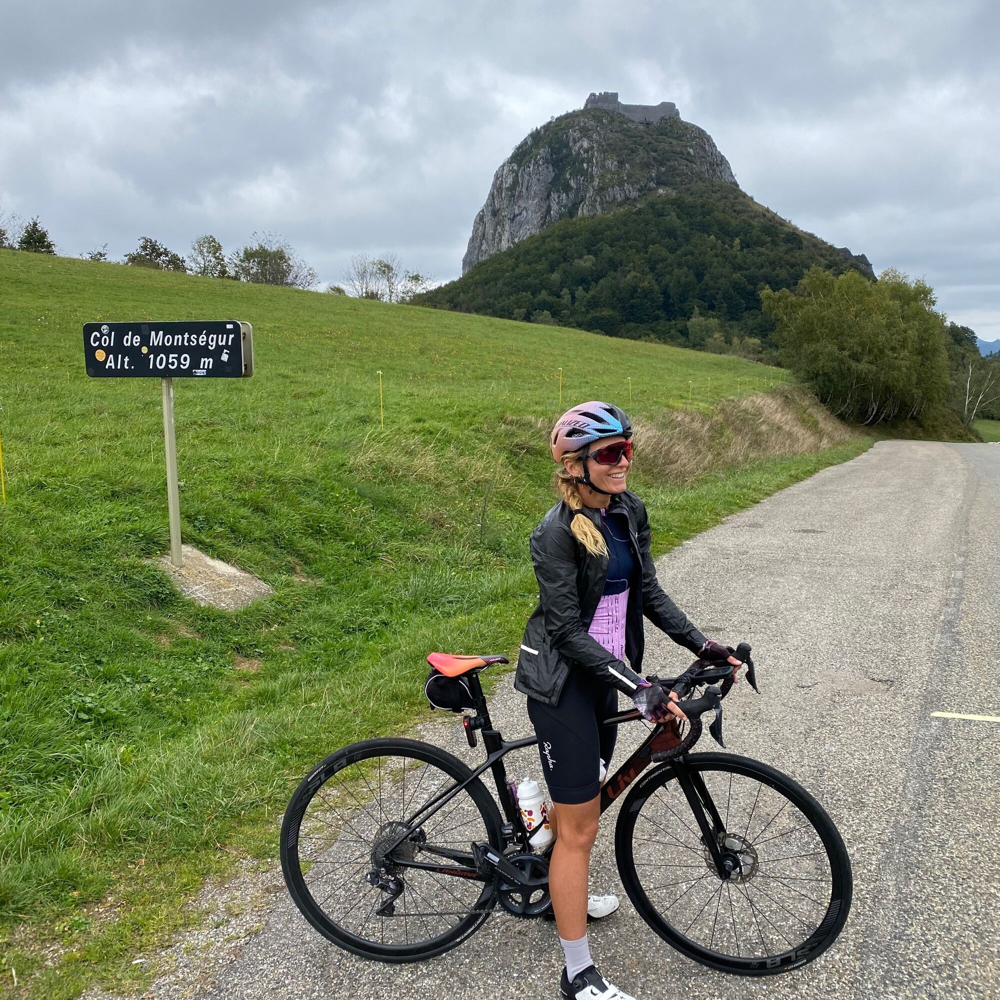
Going from Roquefixade, dominated by the castle ruins, to a corniche on a quiet sunlit road, you will enjoy the breathtaking view of the Pyrenees mountain range. You will continue your ride to the famous Montségur pass and its pog, also the stage of the Tour de France in 2021.
This route, composed of both passes and history, will fulfill your stay or your simple getaway.

Áno
Emergency number: 112.
Consider carpooling.
Prefer the train for your travel
Parking close to the starting point
4
For more information about the destination, visit our website.
Obľúbené výlety v okolí
-
The Grande Traversée VTT de l'Ariège
ťažkéMountainbike 208,5 km -
The Ariégeoise XXL - cyclosport circuit no. 6
ťažkéCestný bicykel 178,5 km -
4,0
Tour of Lake Montbel
svetloTuristika 14,8 km -
Cyclosportive route 11 - The Ariège cycle route - Stage 3: from Auzat to Prades
ťažkéCestný bicykel 107,4 km -
Grande Traversée VTT Ariège Pyrénées
ťažkéMountainbike 207,3 km -
Balade du Pech de Montgailhard
strednáTuristika 6,94 km -
Cycling route - The Mirapicien around Camon and the lake of Montbel
svetloCyklistika 20,7 km -
Cyclosport route 2 - The textile country
strednáCestný bicykel 86,5 km -
The Ariège MTB Crossing - Stage 03: Comus to Lavelanet
ťažkéMountainbike 22,7 km -
Hike to the castle of Roquefixade
svetloTuristika 7,28 km

Turistika a stopovanie


Nenechajte si ujsť ponuky a inšpiráciu na ďalšiu dovolenku
Vaša e-mailová adresa bol pridaný do poštového zoznamu.