







Cycling for all in Gascogne Toulousaine
Úroveň náročnosti: 1
Apart from a climb halfway through that will make you appreciate the electric assistance if your bike has it, this circuit presents no difficulties
Distance: 17.2 km
Duration: about 55 minutes to 1 hour
...Apart from a climb halfway through that will make you appreciate the electric assistance if your bike has it, this circuit presents no difficulties
Distance: 17.2 km
Duration: about 55 minutes to 1 hour
Elevation gain: +63 m


Starting from the Tourist Office of L'Isle-Jourdain:
- Cross carefully (on foot pushing your bike at the pedestrian crossing) to get to the side road opposite the Tourist Office.
- Turn left and go up the side road (Avenue du Bataillon d'Armagnac).
- Pass under the railway line, being careful when crossing the barriers under the level crossing.
- Follow the bike lane that goes off to the right. You enter a protected lane separated from car traffic. Take it to the end.
- At the end of the bike lane, turn right, heading towards Ségoufielle. You are now on a shared traffic road, the N542. Do not leave it until you arrive at the village of Ségoufielle via Chemin du Pountet.
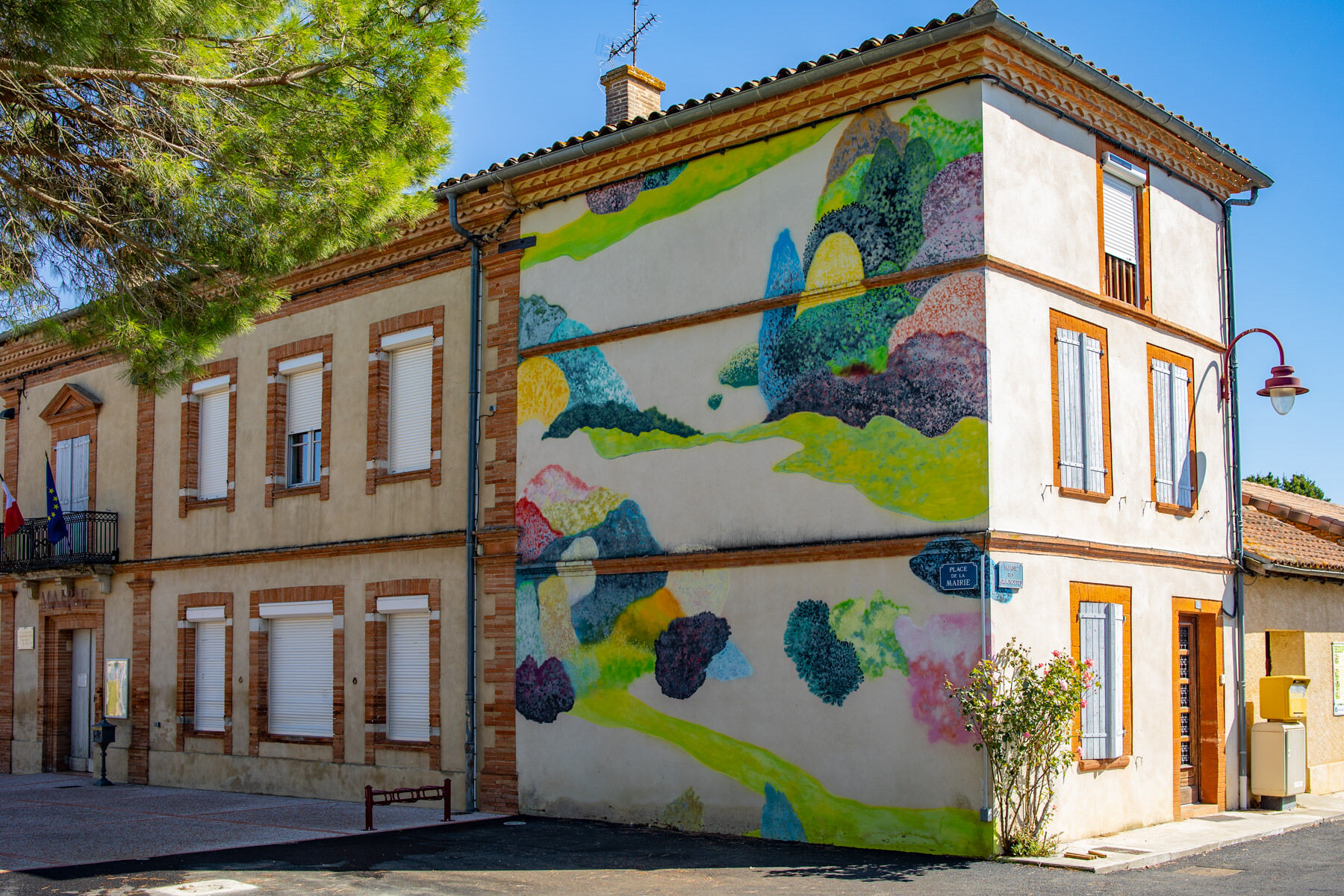
- Upon arrival in Ségoufielle, cross the village along this road to the Town Hall Square.
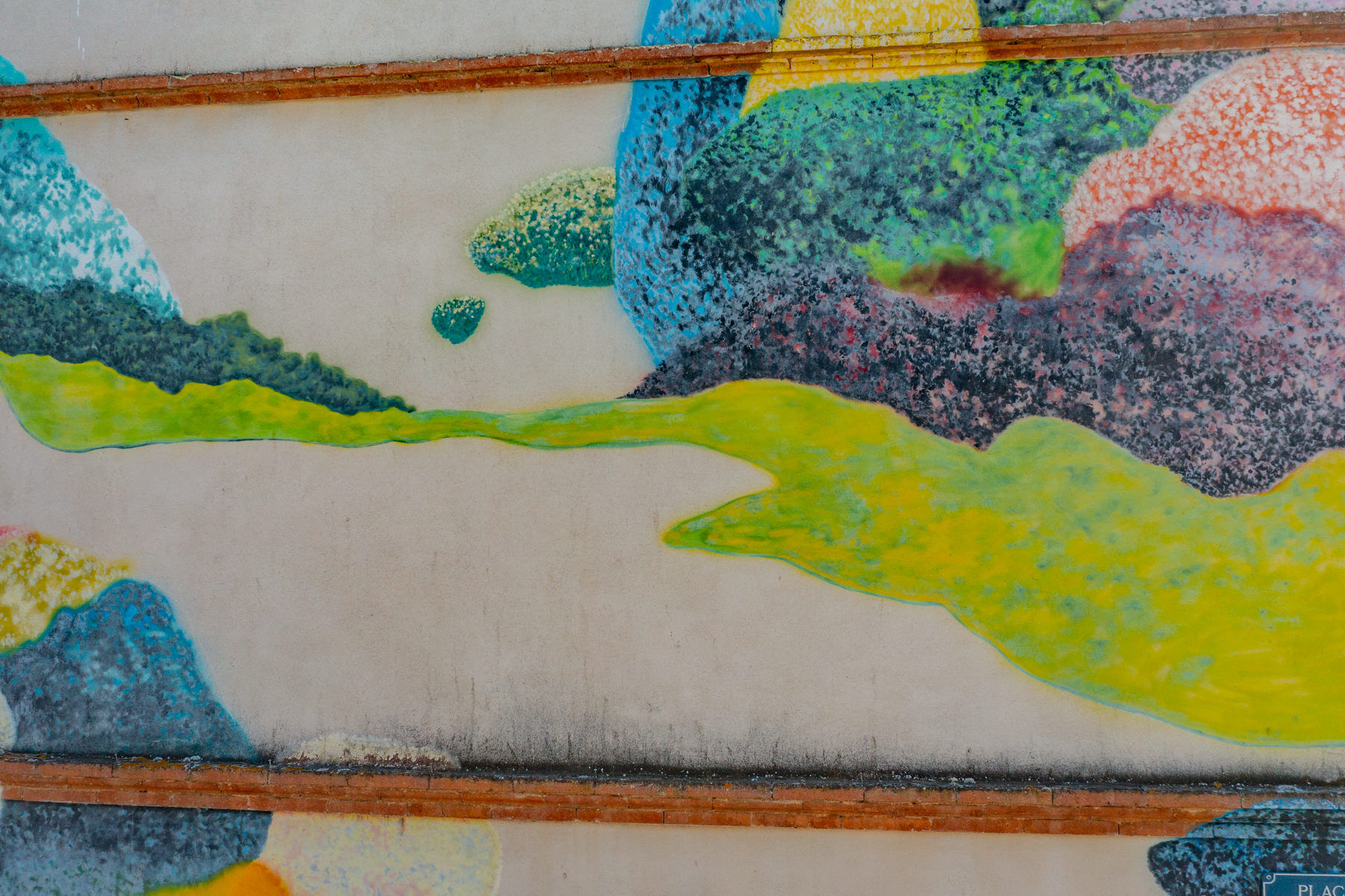
- On the right side of the town hall building, you can admire a work from the Artistic Routes series: the mural "Je Reste Là" by Jérôme Souillot. More info here: https://www.tourisme-gers.com/fresque-murale-je-reste-la-a-segoufielle-segoufielle-269493
- Take the road that leaves to the left of the town hall (Chemin de Bordeneuve, towards the schools), leave the village by this path and continue.
- At the stop sign, turn left. You are on the N224. Continue to the bridge crossing the Save river.
- After the bridge, turn left, towards Sainte-Livrade. You are on the Route de l'Autan.
- On the climb, just before the bus shelter, take the road on the left. There is a "4 ton limit" sign at the start of this road.
- Pass through the residential area. At the bottom, at the stop, turn right. You are back on the N542, heading towards the bike lane.
- Arrived at the crossroads, cross carefully and take the bike lane on the left again.
- Follow the bike lane to the end. You will pass under the level crossing again (watch for the barriers under the bridge) and find yourself on the side road leading back to your starting point, the Tourist Office of L'Isle-Jourdain.
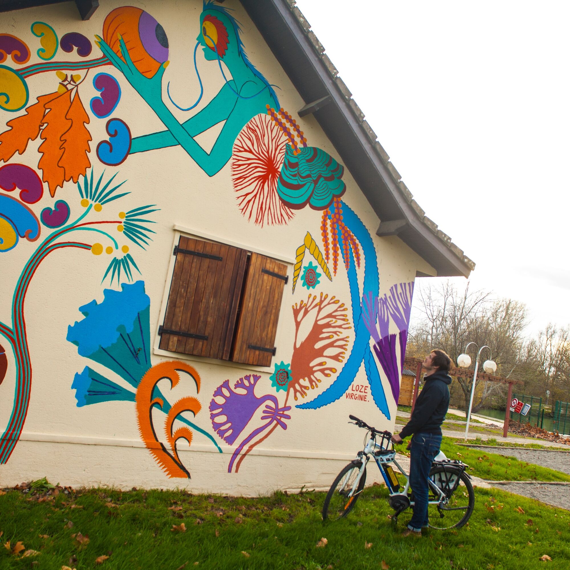
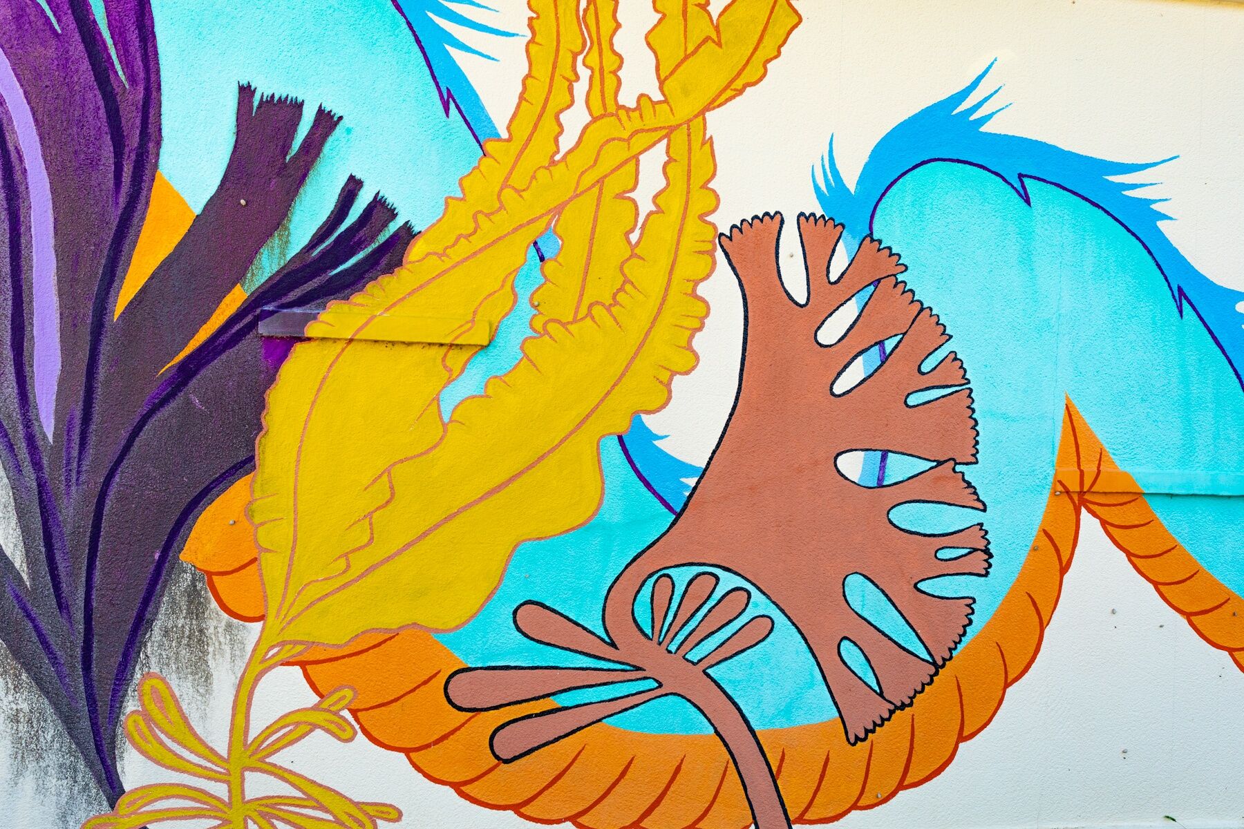
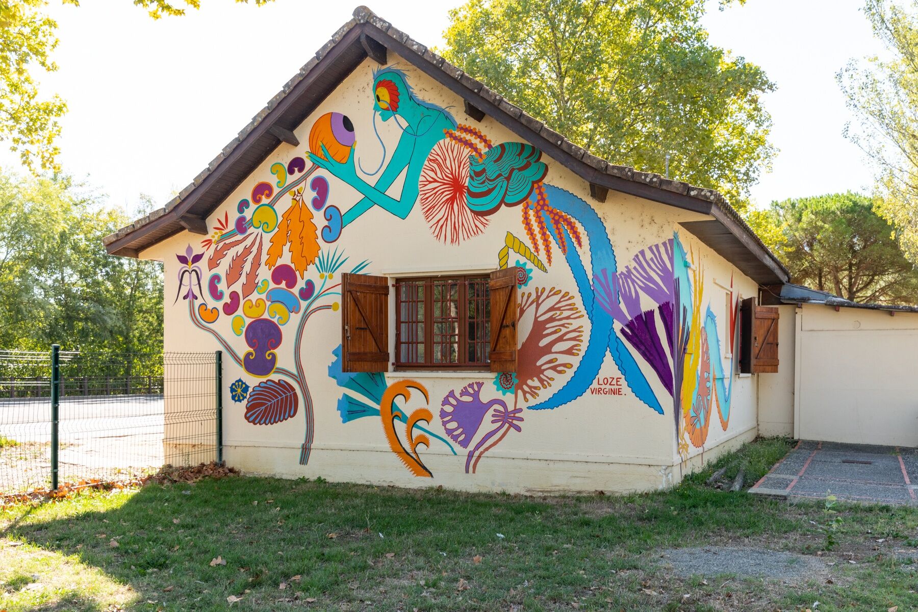
On one of the walls of the Tourist Office, you can admire another work from the Artistic Routes series: "The Creature of the Lake" by Virginie Loze. More information on this work here: https://www.tourisme-gers.com/fresque-murale-la-creature-du-lac-a-l-isle-jourdain-l-isle-jourdain-269443
Áno
Before setting off:
Make sure the bike is in perfect mechanical condition, including the tires and brakes. Ensure the bike is properly adjusted to your body shape. Wearing a helmet is strongly recommended. Carry a repair kit. Make sure your smartphone battery is fully charged. Remember that traffic laws apply to cyclists at all times. Never ride more than two abreast and keep to a single file when traffic conditions require it. Respect other road users as you would like them to respect you. Choose a route adapted to your physical abilities. Inform those around you of your itinerary. Check the weather conditions. A first aid kit is not essential but can be very useful. Find out and keep emergency numbers handy. Respect the environment by not throwing your food wrappers on the roadside. If you need to return at dusk, make sure you can see and are seen.In case of emergency, call 112
Consider carpooling
Parking near the starting point
1
This route is partly on a bike lane and partly on low-traffic roads, typical of the Gers hinterland. These roads are used by various motor vehicles, such as cars or agricultural machinery. Everyone's vigilance is important.
On some sections, it may be necessary to ride in single file.
Obľúbené výlety v okolí
-
Trois villages et une surprise
svetloCyklistika 16,8 km -
Cool mit E-Bike
svetloCyklistika 20,4 km -
Artistic Route (VAE): "On the Wings of the Butterfly." Intimate Beats in Gascogne Toulousaine
strednáCyklistika 38,2 km -
Le circuit du foie gras – Samatan
strednáCestný bicykel 66,6 km -
Starting from a bastide
strednáCyklistika 20,9 km -
Towards the lake of Saint-Cricq
svetloCestný bicykel 31,2 km -
Tembourets and Saint-Germier
strednáMountainbike 21,7 km -
The dovecote trail
svetloMountainbike 11,7 km -
Menville - Embuars
svetloTuristika 7,67 km -
Pujaudran - point 280m
svetloTuristika 6,46 km
Turistika a stopovanie


Nenechajte si ujsť ponuky a inšpiráciu na ďalšiu dovolenku
Vaša e-mailová adresa bol pridaný do poštového zoznamu.





