


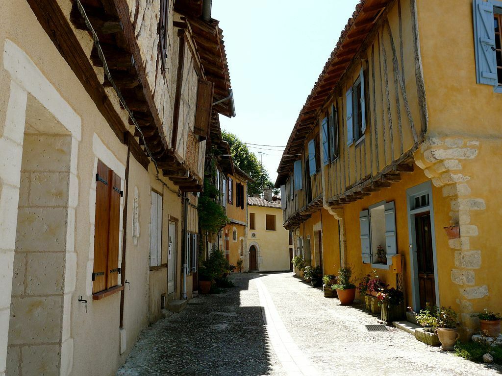
From bastides to castelnaux – Gimont
Úroveň náročnosti: 5
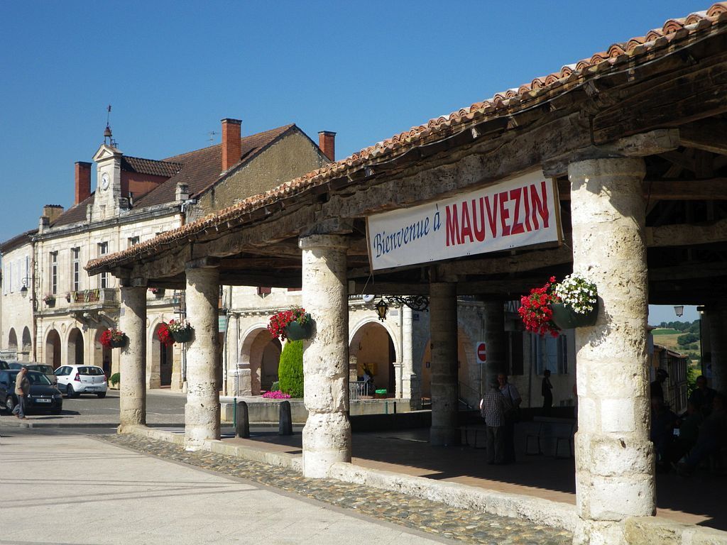
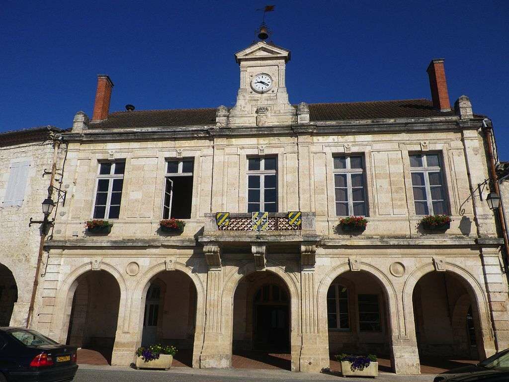
The geometric aspect of its grid plan characterizes the bastides, with at the center, the square, the market hall, and the common house: this was the place where official announcements and exchanges took...
The geometric aspect of its grid plan characterizes the bastides, with at the center, the square, the market hall, and the common house: this was the place where official announcements and exchanges took place.
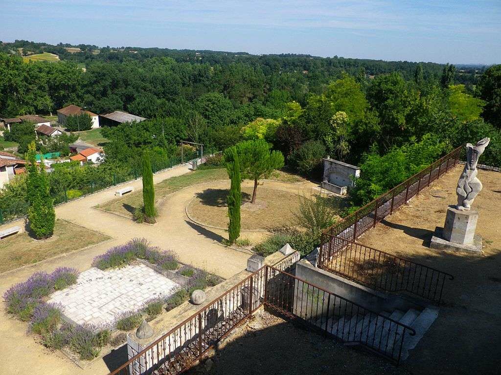
The origin of Mauvezin and Sarrant dates back to before the year 1000. They are old castelnaux. The inhabitants were gathered around the castle and the church, all surrounded by strong walls. Entry was through one or several fortified gates and a drawbridge.
5
Obľúbené výlety v okolí
-
Discovery route of the Artistic Routes on the Arrats-Gimone hillsides
svetloCyklistika 11,1 km -
Gimone and Arrats with e-bike
strednáCyklistika 41,8 km -
The Gimone and its villages
strednáCyklistika 42,7 km -
Artistic Route (EAB): "In Sight" - Parallels between Arrats and Gimone
strednáCyklistika 58,8 km -
Gimont - Villages et collines.
strednáCyklistika 17,4 km -
At the gates of Gascony
strednáCyklistika 60,3 km -
From Sainte-Marie to Escorneboeuf
strednáCyklistika 19,6 km -
Aramis loop
strednáCyklistika 12,3 km -
Boucle de la voie ferrée à Mauvezin
strednáCyklistika 11,6 km -
En vélo vers le bois de Tulle
svetloCyklistika 13,4 km

Turistika a stopovanie


Nenechajte si ujsť ponuky a inšpiráciu na ďalšiu dovolenku
Vaša e-mailová adresa bol pridaný do poštového zoznamu.