



HIKE FROM DRY VALLEYS TO SOTCHS

From the statue of Notre-Dame de Sorbs and one of the 7 crosses of the commune, your hike will lead you to the discovery of a local geology shaped by time and scattered across the territory with impressive...
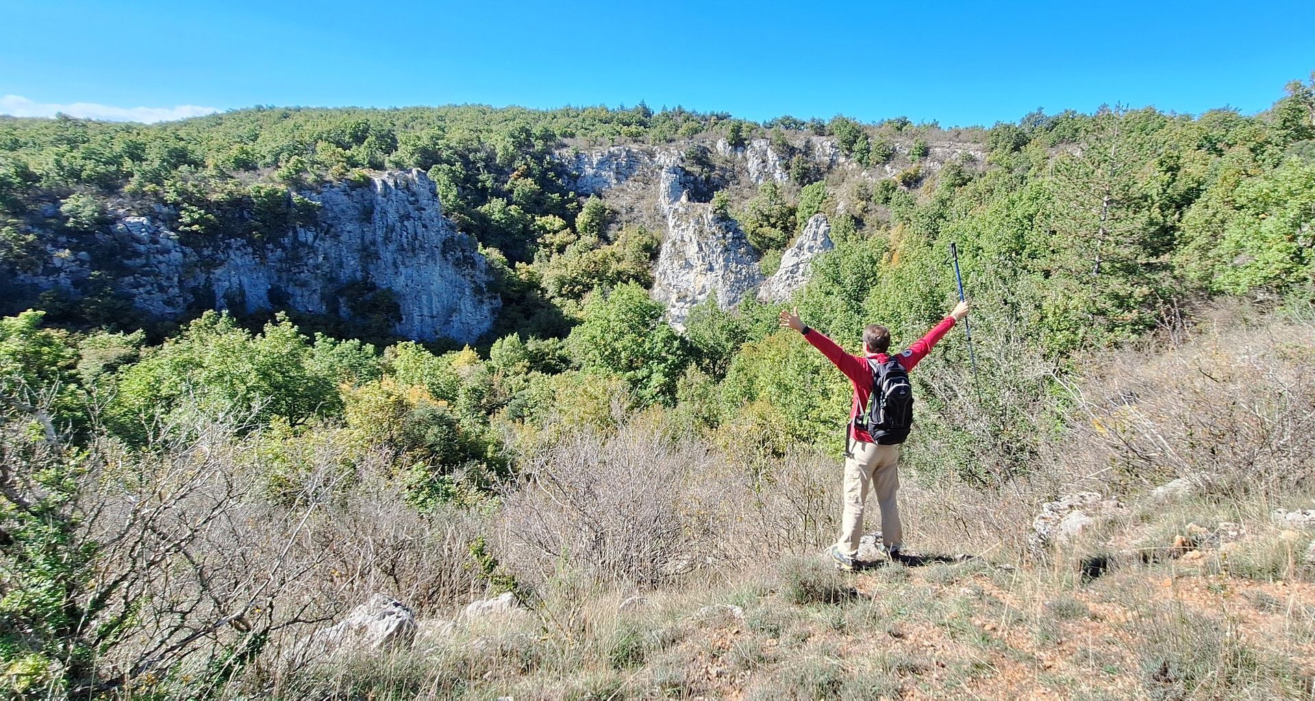
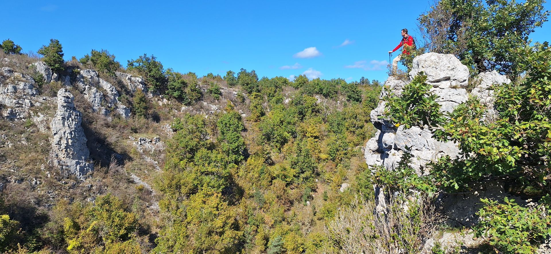
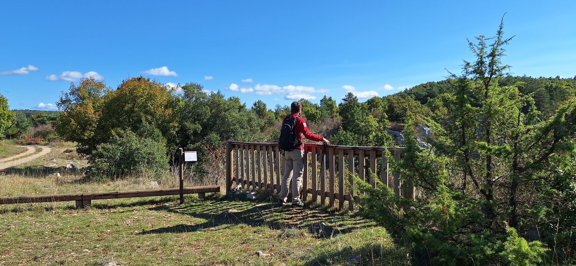
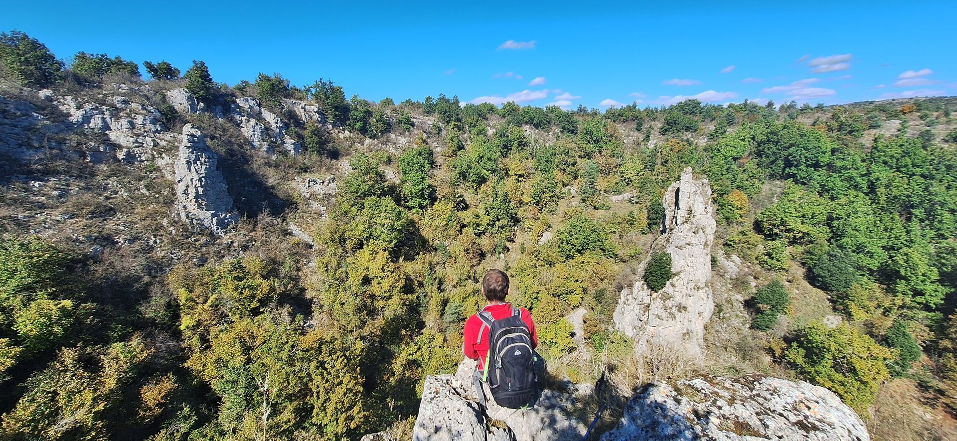
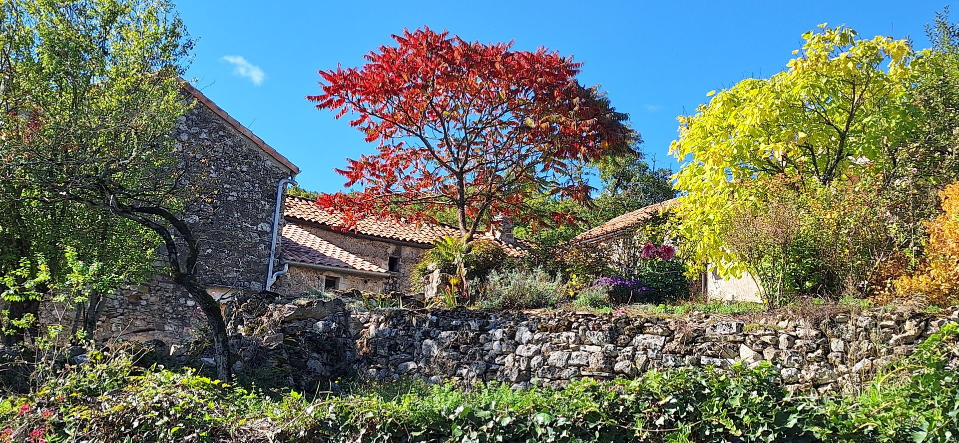
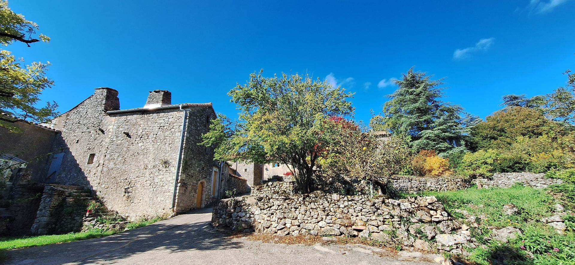
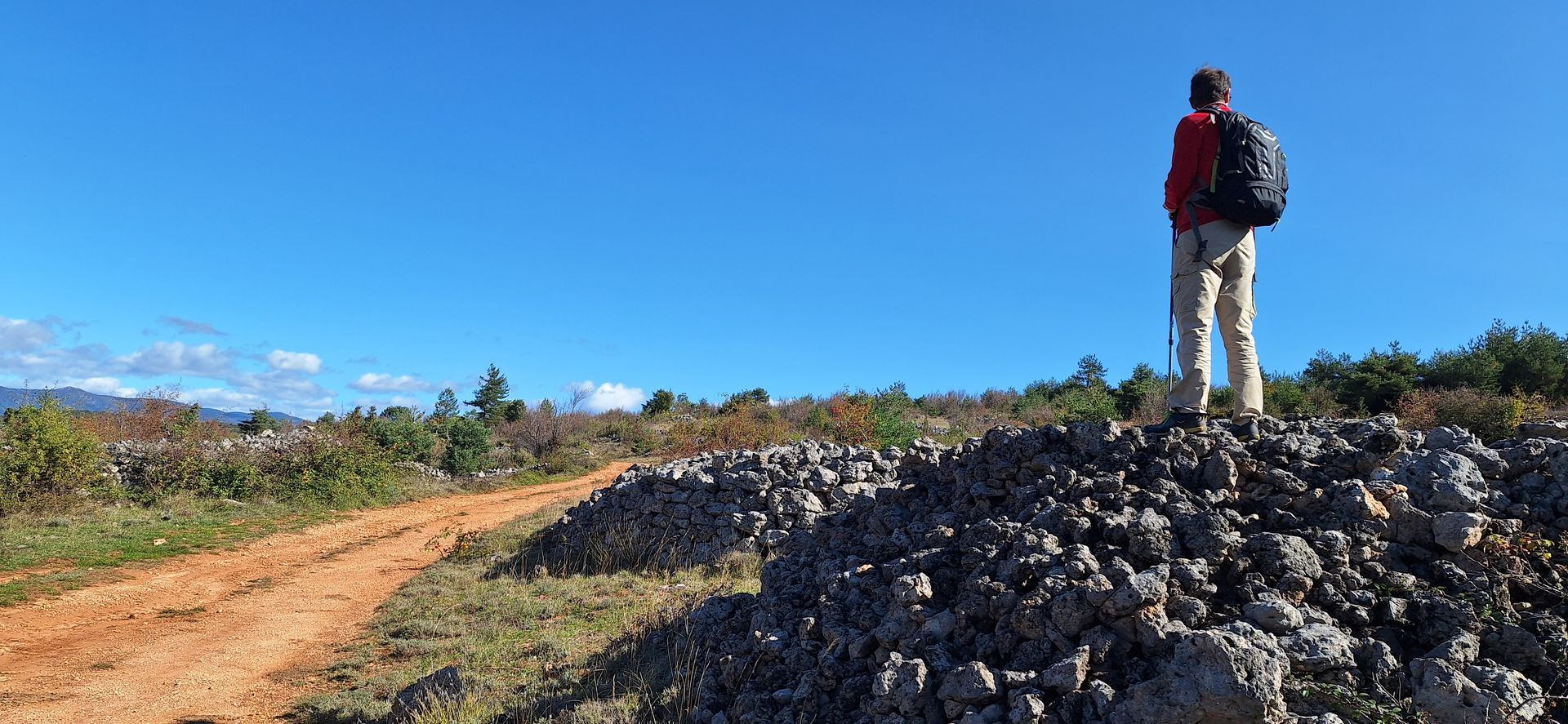
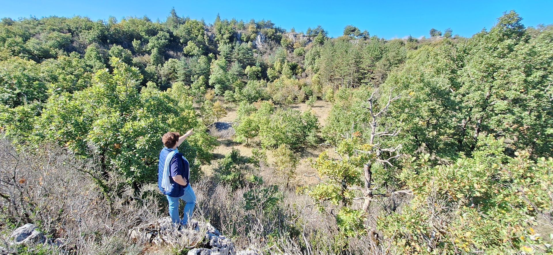
Through dry valleys with dry riverbeds, overlooked by ancient terraces of the vineyard estate, the Camp d'Alton farm takes you into the meanders of the Virenque. The climb back onto the plateau will bring you to the site of the 3 sotchs, large craters carved into the limestone. The sotch de Robert and the sotch Parade are the most remarkable (200 m wide by 50 m deep), linked to the proximity and depth of the Virenque gorges. Returning through one of the many hamlets of Sorbs, Ville-Vieille, you will make out in the distance the imposing castle of the lords of Treilhe from the 16th century and its cross (17th century), two masterpieces listed as historical monuments.


1
1. From the parking lot, return to RD142E8, then go down to the right for 300 m walking on the roadside. Turn right into a droving path and continue straight for 200 m. Turn and climb left following a boxwood hedge (view of Sorbs castle). Then go down the path to the Mourgues stream.
2
2. Cross it and take the singletrack ahead. Continue along the stream by the edge of the field. Cross the Sorbs stream several times while crossing the Mourgues valley (view of the dolomitic chaos). At the road, continue straight in the gravelly bed of Sorbs to the Camp d’Alton.
3
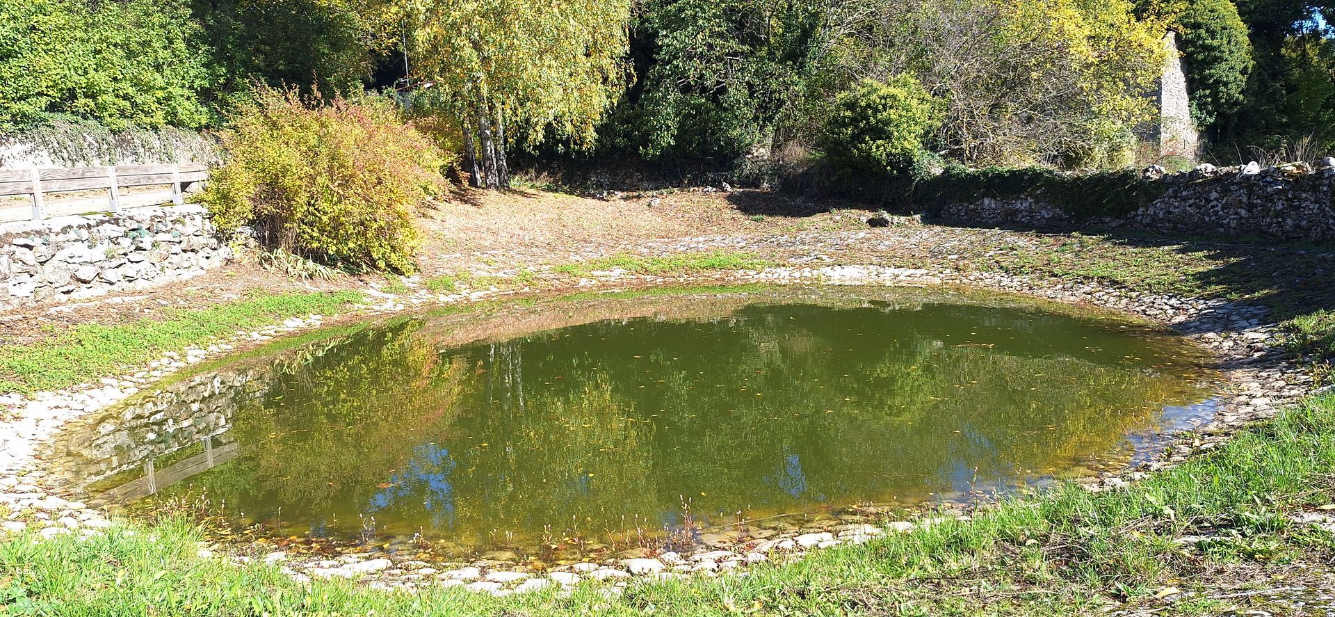
3. At the Alton farm (private property with drinking water, made up of two buildings, one in Hérault and the other in Gard), turn left at the old stone cistern. Enter the grassy track in the valley. After 400 m, go down right into the bed of the Virenque and continue straight, winding through the valley to a signposted crossroads.
4
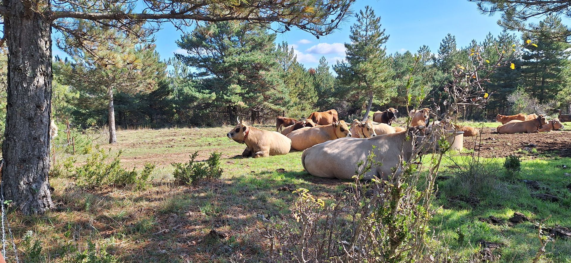
4. Climb the path to the left and continue in the undergrowth. Pass the ruins of Font Mainoux (viewpoint over the Virenque gorges) to reach at the top a gate (beware seasonal grazing of cattle!!!) Cross or go around depending on their presence in the grazing area to reach a gate.
5
5. Continue on the right track (left spur to discover the Sotch de Robert 500 m round trip), after 100 m a left access path to the sotch de Las Parades (200 m round trip). Return to the main track, after 400 m access to the left to discover the Sotch de la Fageolle. Return to the track, continue, pass the gate and continue by the left path towards the Mas de Ville-Vieille.
6
6. At the hamlet, turn right on RD142E7 along the reed bed. Continue straight towards the village, passing the town hall and the old well of Sorbs. At the Saint-Jean-Baptiste church, turn left on RD142E7 for 250 m to return to the start.
SORBS
Yellow PR
+33 4 67 88 86 44
Lodévois and Larzac Tourist Office
Georando
Obľúbené výlety v okolí
-
CIRQUE DE NAVACELLES AND MOULINS DE LA FOUX HIKING TRAILS
strednáTuristika 9,29 km -
NAVACELLES HIKE - CAUSSE AND VIS GORGES
strednáTuristika 19,6 km -
HIKING TOUR IN THE HEART OF THE CAUSSE - GR® DE PAYS TOUR DU LARZAC MÉRIDIONAL
strednáTuristika 56,7 km -
HIKING OF THE SERRE DE GRENOUILLET
strednáTuristika 7,70 km -
HIKING OF SOUTH LARZAC
strednáTuristika 17,4 km -
RAJOLS HIKE
strednáTuristika 13,4 km -
ROUTE No. 75 - SOUTH OF LARZAC - MTB-FFC AREA LODÉVOIS AND LARZAC
strednáMountainbike 18,3 km -
LES FALAISES DE L'ESCALETTE HIKE
strednáTuristika 15,8 km -
TOUR DU LARZAC MÉRIDIONAL INTÉGRAL - GR® DE PAYS TOUR DU LARZAC MÉRIDIONAL
strednáTuristika 102,5 km -
CAMIN FARRAT HIKE
strednáTuristika 12,6 km
Turistika a stopovanie


Nenechajte si ujsť ponuky a inšpiráciu na ďalšiu dovolenku
Vaša e-mailová adresa bol pridaný do poštového zoznamu.


