


CABREROLLES HIKE THE PIC DE LA COQUILLADE
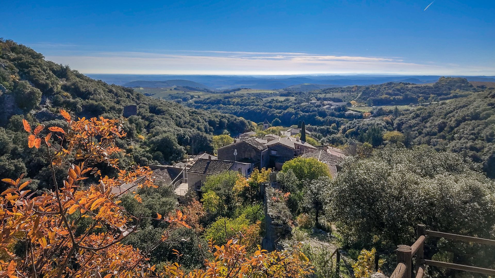
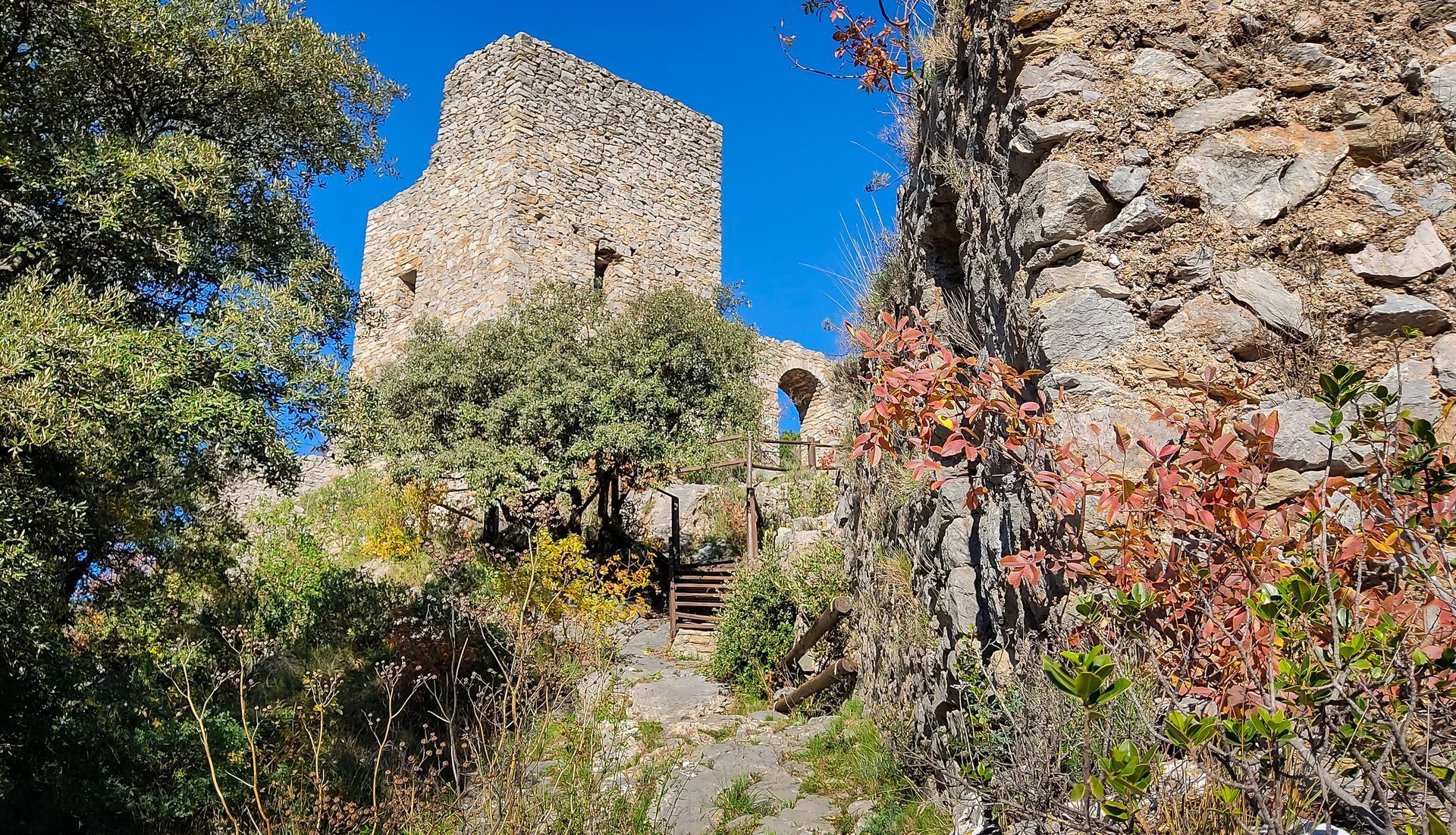
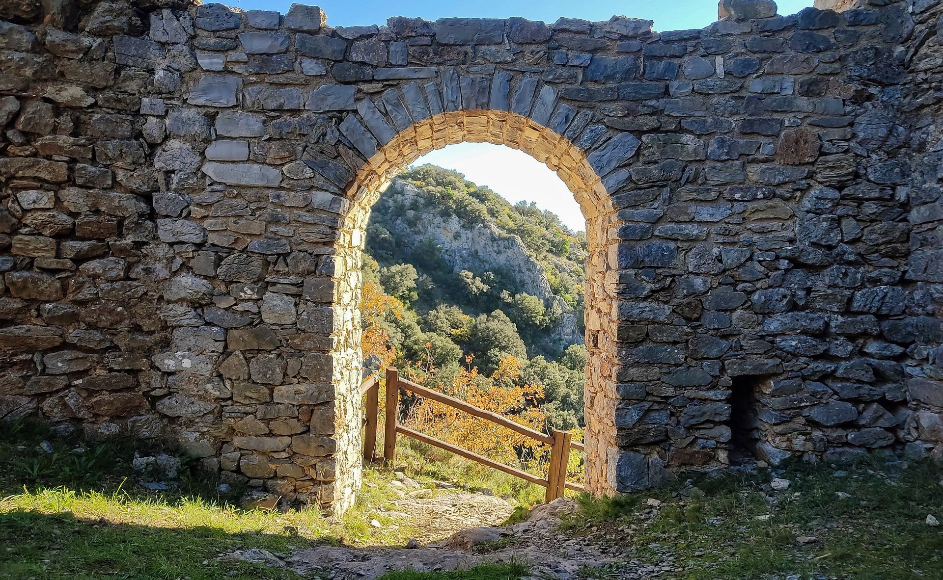
Starting from this route, the village of Cabrerolles reveals its built heritage with its 12th-century castle and its chapel dedicated to Notre-Dame-de-la-Roque. Walking along trails and paths, sheltered...
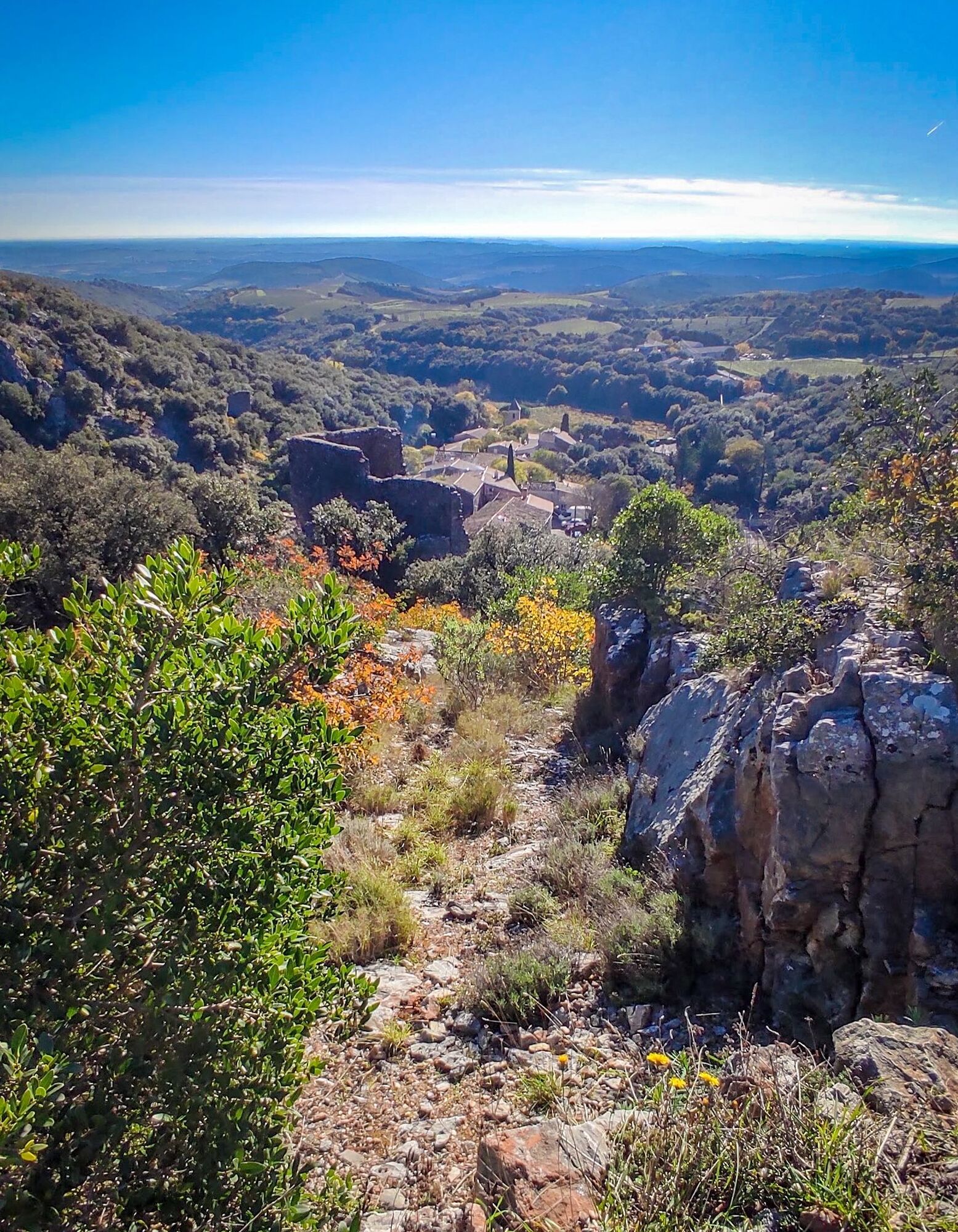
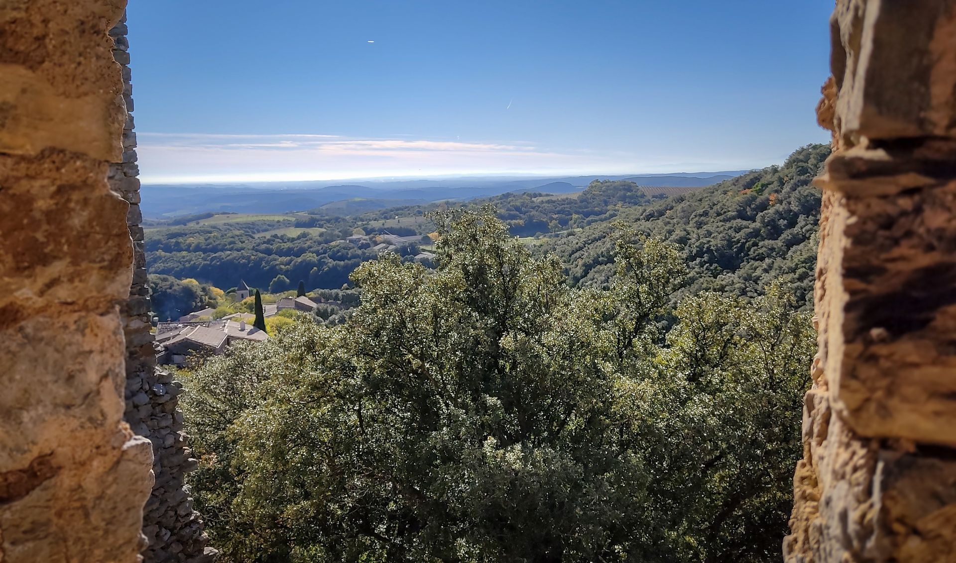
Starting from this route, the village of Cabrerolles reveals its built heritage with its 12th-century castle and its chapel dedicated to Notre-Dame-de-la-Roque. Walking along trails and paths, sheltered by holm oaks, discover the Biterroise plain, the Orb valley, and the Caroux plateau spread out before you in a mosaic of landscapes and colors.

1
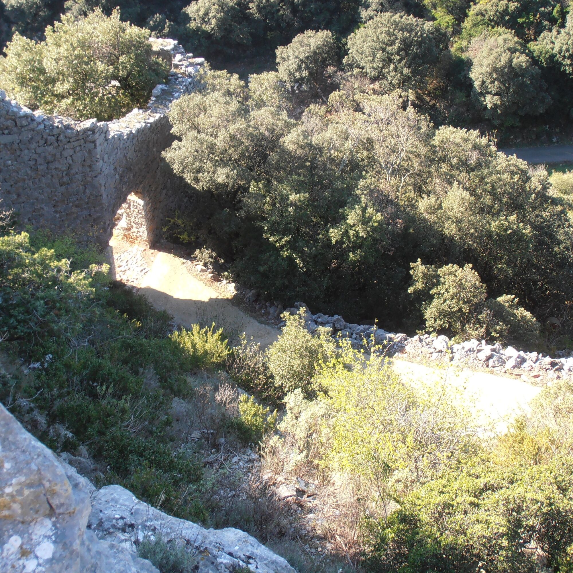
Climb up Rue Grande between the church and the cemetery. At the small square, take the steep path to join the trail that goes around the castle. Continue straight on an old path under a stand of holm oaks. Once at the pass, take the drivable road on the left to the hamlet of La Borie Nouvelle. Climb Rue du Four to the left, between the houses.
2
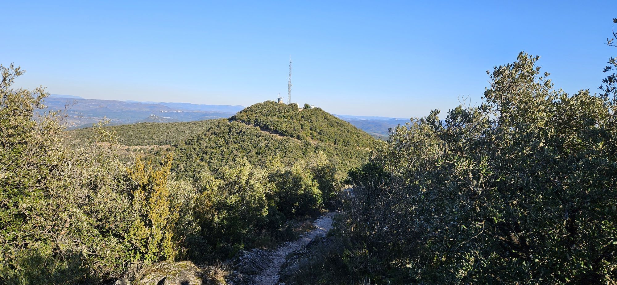
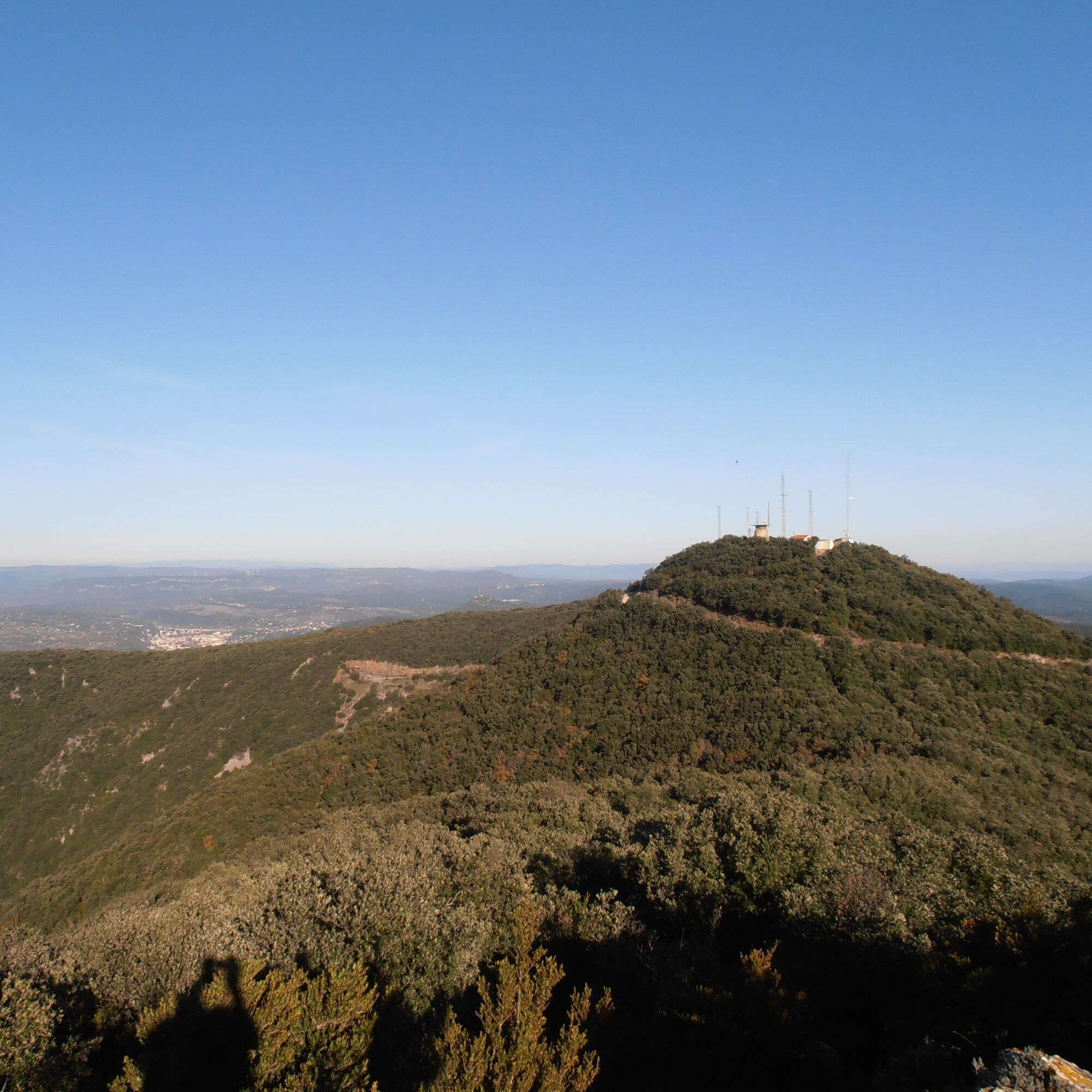
485 m, 31 T 510113 4822674 At the bread oven, take the path going down on the left, follow it for 70 m and take the first path that climbs sharply to the right. Join a drivable track, continue climbing to the right. Where the power line crosses the track, take the path bordered by a stone wall to the right. Rejoin the track, continue right to reach the Pic de la Coquillade. Ignore the track crossing the Saint-Michel State Forest. Continue climbing by partially bypassing the peak until the two large stone blocks on the left. Possibility to do a round trip to the summit of the Pic de la Coquillade by the track. Do not take the steep path to the right.
3
676 m, 31 T 509215 4822772 At the two stone blocks, descend to the left and follow the ridge for 600 m. At the end of the descent, before a slight climb, take the left path (pile of stones in the middle) to reach the Balque pass.
4
622 m, 31 T 508507 4822483 At the pass, ignore the paths descending to the right and left, continue straight on the trail climbing between two small rocky ridges. Cross the holm oak forest and after a small pass, take the steep path on the left bordered by boxwood. Follow the markings closely. At the exit of the undergrowth, at the fork, take left then descend. At the junction with the track, take it to the right for 10 m, join the main track and continue left for 200 m. At the end of the descent, ignore the main track continuing to the right and take the path opposite. Descend and at the crossroads, continue straight along the electric fence. Once back on the road, return toward the cemetery on the right to reach the parking lot.
In case of emergency, call 112.
• Respect the trail paths to limit trampling of vegetation and erosion. • Learn to know and respect the fauna and flora, especially in sensitive areas. • Leave no trace of our passage, no waste, and carry it to the next trash bin. • Do not make fires in nature. • Do not damage crops and plantations. • Always remember to close fences and gates behind us. • Keep dogs on a leash, they could accidentally cause damage or be victims of accidents. • Do not drink stream water; its apparent clarity does not necessarily mean it is potable. • Check hunting periods with local municipalities. Some routes can be dangerous. • Inform yourself about access regulations to nature reserves and Natura 2000 areas (dogs, use of sound devices, and plant picking can, in some cases, be prohibited).
Specific recommendations:
Route not recommended during periods of intense heat and heavy rain.
Blue local interest trails
https://www.haut-languedoc-vignobles.com/preparer/parcourir-nos-itineraires/fiches-randos-pedestres/randonnee-cabrerolles-le-pic-de-la-coquillade-1949490
Tourist Office "Les Avant-Monts"
Regional interest trails
Obľúbené výlety v okolí
-
4,0
GORGES DE COLOMBIERES HIKE
strednáTuristika 12,0 km -
5,0
HIKING OF THE HÉRIC GORGES VIA THE ORIENTATION TABLE
strednáTuristika 16,3 km -
5,0
PECH BELET HIKE
svetloTuristika 4,41 km -
5,0
HIKING THE RED ROCK
strednáTuristika 7,01 km -
5,0
OENORANDO® THE VALLEY OF AROMAS
strednáTuristika 13,7 km -
3,0
CYCLE LOOP No. 29 - FROM THE VALLEYS TO THE PEAKS OF HAUT-LANGUEDOC
strednáCyklistika 64,3 km -
CAROUX SUMMIT HIKE
strednáTuristika 7,94 km -
HIKE OF SAINT MICHEL DE MOURCAIROL
strednáTuristika 11,7 km -
HERIC GORGES ROAD - MONS LA TRIVALLE
strednáTuristika 9,38 km -
HIKING OF THE UPPER VALLEY OF THE MARE
strednáTuristika 16,2 km
Turistika a stopovanie


Nenechajte si ujsť ponuky a inšpiráciu na ďalšiu dovolenku
Vaša e-mailová adresa bol pridaný do poštového zoznamu.