
SENTIER DES 2 LACS: L'INTÉGRALE DE CEILHES À CLERMONT - GR® DE PAYS ENTRE 2 LACS AVÈNE - SALAGOU
stredná
Získajte túto prehliadku v mobilnom telefóne
SENTIER DES 2 LACS: L'INTÉGRALE DE CEILHES À CLERMONT - GR® DE PAYS ENTRE 2 LACS AVÈNE - SALAGOU
stredná
Turistika
77,53
km
Naskenujte kód QR a spustite navigáciu v aplikácii bergfex


Turistika a stopovanie





SENTIER DES 2 LACS: L'INTÉGRALE DE CEILHES À CLERMONT - GR® DE PAYS ENTRE 2 LACS AVÈNE - SALAGOU
stredná
Vzdialenosť
77,5
km
Trvanie
21:59
h
Ascent
1 882
hm
Hladina mora
95 -
747
m
Stiahnutie skladby
SENTIER DES 2 LACS: L'INTÉGRALE DE CEILHES À CLERMONT - GR® DE PAYS ENTRE 2 LACS AVÈNE - SALAGOU
stredná
Turistika
77,53
km
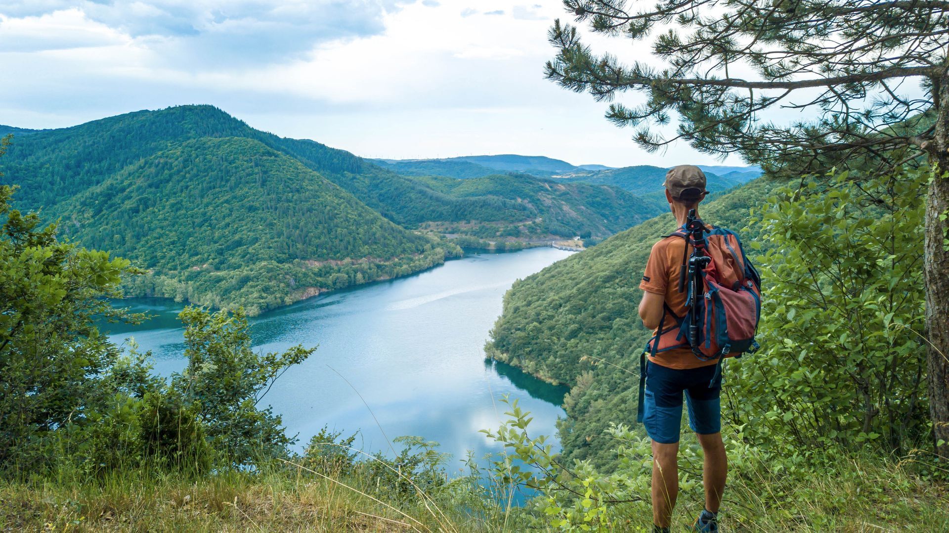
Between the Parc Naturel Régional du Haut-Languedoc and the Grand Site Salagou - Cirque de Mourèze, 5 days of hiking between the most unknown and the most famous lake in the Hérault...And to discover Avène...
Opis
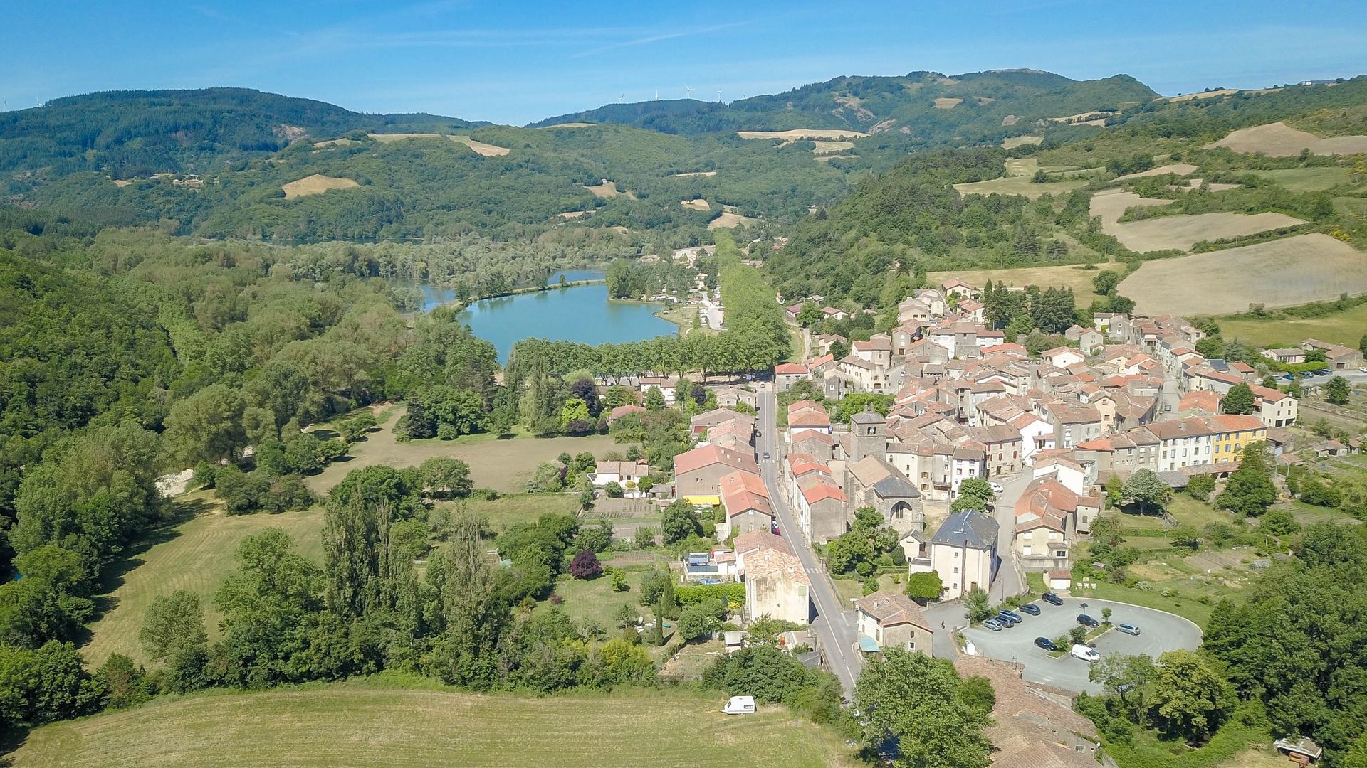
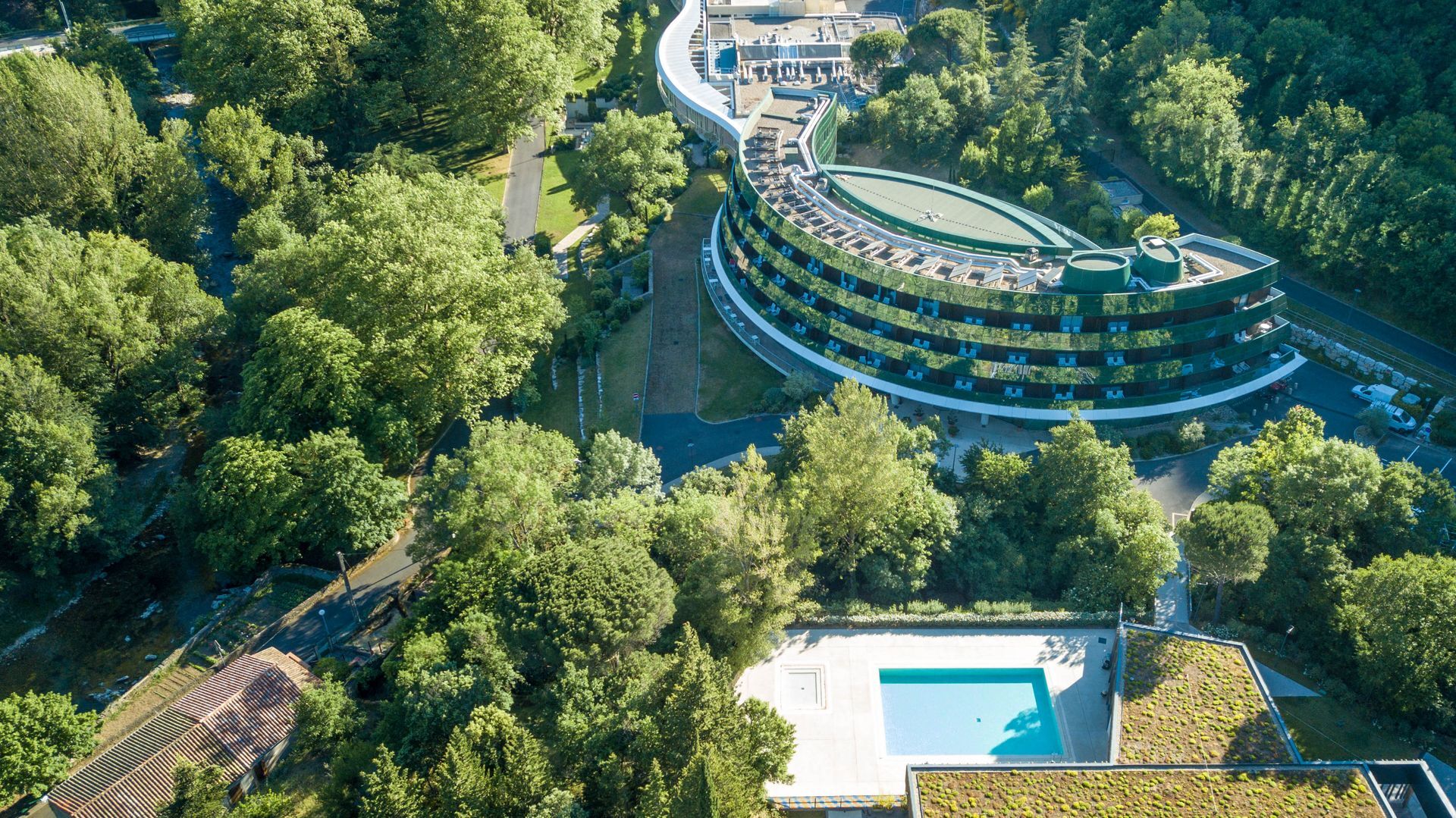
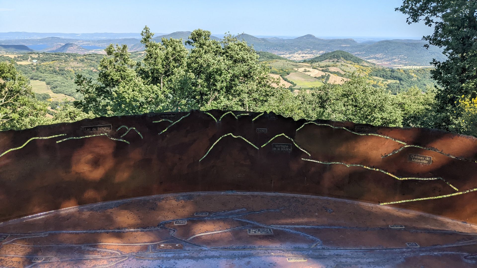
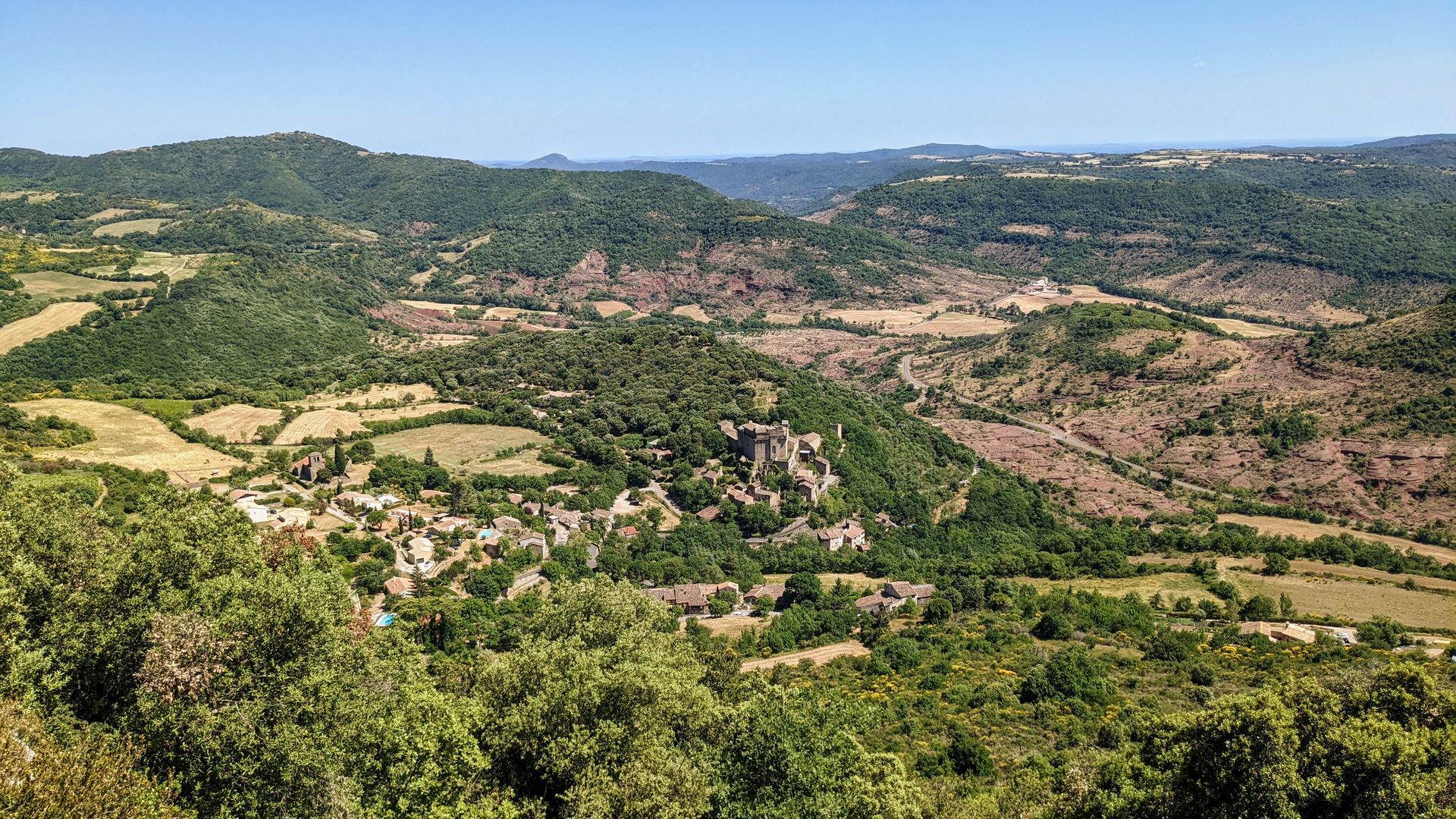
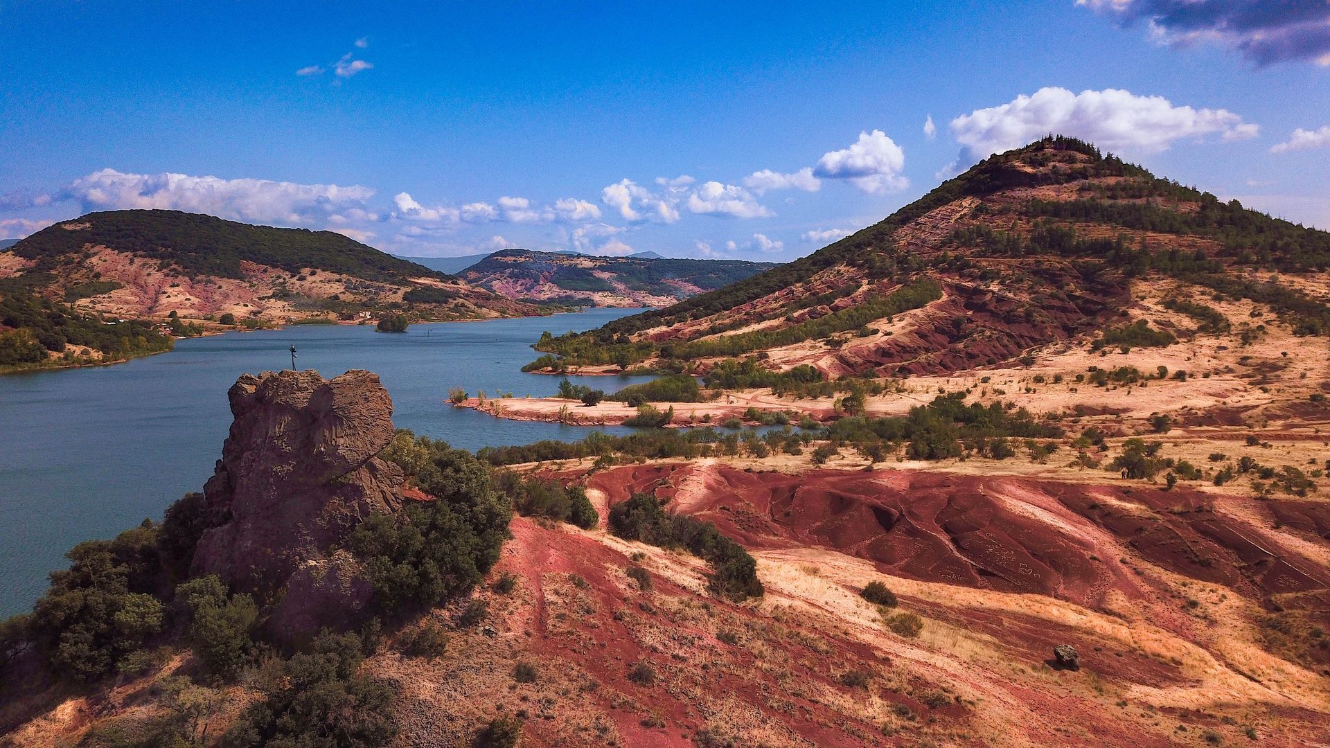
Between the Parc Naturel Régional du Haut-Languedoc and the Grand Site Salagou - Cirque de Mourèze, 5 days of hiking between the most unknown and the most famous lake in the Hérault... And to discover Avène and its thermal baths, the wide-open forests and pastures of the Monts d'Orb, the Orb and Gravezon valleys, the ruffes of the Haute Vallée du Salagou, the shores of Lac du Salagou, and the pretty town of Clermont-l'Hérault. A short, leisurely week's hike in breathtaking scenery!
The Sentier des Deux Lacs 'intégral' is the synthesis of the GR® de Pays Entre Deux Lacs Avène - Salagou: two lake tours over 2 or 3 days, and a Sentier des 2 lacs that can be completed in 3, 4 or 5 days. Wonderful slow-motion journeys through the nature and geology of the Hérault region, in the heart of the Terres d'Hérault Geopark.
The Sentier des Deux Lacs 'intégral' is the synthesis of the GR® de Pays Entre Deux Lacs Avène - Salagou: two lake tours over 2 or 3 days, and a Sentier des 2 lacs that can be completed in 3, 4 or 5 days. Wonderful slow-motion journeys through the nature and geology of the Hérault region, in the heart of the Terres d'Hérault Geopark.
Trasa
Église Saint-Jean-Baptiste de Ceilhes
(438 m)
Miesto uctievania
0,1 km
Église Saint-Martin
(392 m)
Miesto uctievania
15,6 km
Église Saint-Barthélemy-d'Arnoye
(467 m)
Miesto uctievania
23,5 km
Église Saint-Pancrace
(275 m)
Miesto uctievania
37,6 km
Église Saint-André
(446 m)
Miesto uctievania
49,9 km
Église Saint-Étienne
(200 m)
Miesto uctievania
61,3 km
Collégiale Saint-Paul
(105 m)
Miesto uctievania
77,1 km
Trasa
SENTIER DES 2 LACS: L'INTÉGRALE DE CEILHES À CLERMONT - GR® DE PAYS ENTRE 2 LACS AVÈNE - SALAGOU
stredná
Turistika
77,53
km
Ceilhes-et-Rocozels
(443 m)
Dedina
0,0 km
Église Saint-Jean-Baptiste de Ceilhes
(438 m)
Miesto uctievania
0,1 km
Montredon Haut
(637 m)
Koridor/terén
2,2 km
Montredon Est
(677 m)
Koridor/terén
3,0 km
Bosc de Gauffre
(715 m)
Koridor/terén
3,7 km
Rocque Longue
(518 m)
Koridor/terén
5,8 km
Brès
(473 m)
Zúčtovanie
14,2 km
Église Saint-Martin
(392 m)
Miesto uctievania
15,6 km
Pizz'Avène
(368 m)
Reštaurácia
15,8 km
Avène
(391 m)
Dedina
15,8 km
L'Avenette Gourmande
(365 m)
Reštaurácia
16,0 km
Les Bains d'Avène
(361 m)
Zúčtovanie
17,1 km
Les Planes
(432 m)
Zúčtovanie
21,2 km
Saint-Barthélémy
(468 m)
Zúčtovanie
23,4 km
Église Saint-Barthélemy-d'Arnoye
(467 m)
Miesto uctievania
23,5 km
La Dalmerie
(486 m)
Zúčtovanie
25,8 km
Joncelets
(393 m)
Zúčtovanie
29,4 km
Joncels
(390 m)
Dedina
33,2 km
Abbaye Saint-Pierre-aux-Liens de Joncels
(392 m)
Miesto uctievania
33,2 km
Lunas-les-Châteaux
(273 m)
Dedina
37,6 km
Église Saint-Pancrace
(275 m)
Miesto uctievania
37,6 km
Auberge Gourmande
(276 m)
Reštaurácia
37,6 km
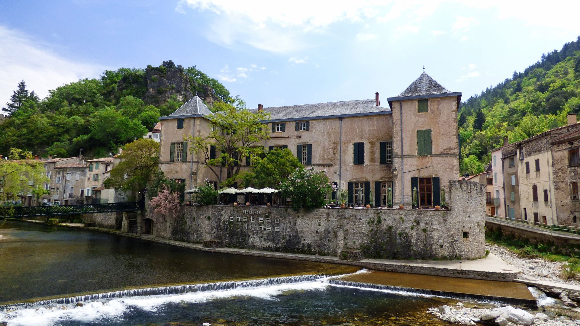
Château de Lunas
(277 m)
Reštaurácia
37,8 km
Dio
(411 m)
Zúčtovanie
46,4 km
Église Saint-Étienne
(427 m)
Miesto uctievania
46,7 km
Valquières
(448 m)
Dedina
49,9 km
Église Saint-André
(446 m)
Miesto uctievania
49,9 km
Vernazoubres
(485 m)
Zúčtovanie
51,6 km
Brenas
(444 m)
Dedina
54,1 km
Le Mas Bas
(395 m)
Zúčtovanie
54,6 km
Café de la Place
(192 m)
Reštaurácia
61,2 km
Octon
(195 m)
Dedina
61,3 km
Église Saint-Étienne
(200 m)
Miesto uctievania
61,3 km
Mas de Clergues
(164 m)
Zúčtovanie
62,3 km
Hameau des Bories
(193 m)
Zúčtovanie
73,8 km
Puech Castel
(190 m)
Koridor/terén
75,9 km
Ancienne chapelle de Notre-Dame de Gorjan
(128 m)
Miesto uctievania
76,6 km
Clermont-l'Hérault
(104 m)
Dedina
77,0 km
Collégiale Saint-Paul
(105 m)
Miesto uctievania
77,1 km
Jeux pour Enfants
(97 m)
Detské ihrisko
77,3 km
Autor
Poskytuje Hérault Tourismus


Bezpečnostné pokyny
Fire watch - summer 2024:
A prefectoral decree regulates access to Hérault forest areas from June 15 to September 15.
in case of Orange vigilance, access to wooded areas is not recommended, in case of Red vigilance, access is strongly discouraged, and forbidden in certain areas such as the forest of Saint-Guilhem le Désert, the Cirqsue de Mourèze and Mont Liausson, the Gardiole, the Pic Saint-Loup, the Caroux, the plateau d'Aumelas, etc.Before your walk, consult the daily fire watch map
In case of emergency, call 112.
Ďalšie informácie a tipy
Ďalšie informácie
Our suggested "coup de coeur" stages: - Day 1: Ceilhes - Avène (17km) - Day 2: Avène - Joncels (18km) - Day 3: Joncels - Dio (14 km) - Day 4: Dio / Octon (15.5 km) - Day 5: Octon / Clermont l'Hérault (16.5 km)
Another suggestion, with a stopover in Mourèze: - Day 1: Ceilhes - Avène - Day 2: Avène - Joncels - Day 3: Joncels - Dio - Day 4: Dio / Octon - Day 5: Octon / Mourèze (via PR from the banks of Liausson) - 6th day: Mourèze / Clermont l'Hérault (back to the banks of Liausson via PR)
GR® and GR® de Pays are registered trademarks of the FFRandonnée, designating routes identified as "GR®", marked with white-red markings; and as "GR® de Pays", marked with yellow-red markings. These routes are the creations of FFRandonnée. Their unauthorized reproduction, as well as the GR® and GR® de Pays trademarks, constitutes an infringement liable to prosecution. Find all GR® routes on mongr.fr
Another suggestion, with a stopover in Mourèze: - Day 1: Ceilhes - Avène - Day 2: Avène - Joncels - Day 3: Joncels - Dio - Day 4: Dio / Octon - Day 5: Octon / Mourèze (via PR from the banks of Liausson) - 6th day: Mourèze / Clermont l'Hérault (back to the banks of Liausson via PR)
GR® and GR® de Pays are registered trademarks of the FFRandonnée, designating routes identified as "GR®", marked with white-red markings; and as "GR® de Pays", marked with yellow-red markings. These routes are the creations of FFRandonnée. Their unauthorized reproduction, as well as the GR® and GR® de Pays trademarks, constitutes an infringement liable to prosecution. Find all GR® routes on mongr.fr
Tipy
White and red GR
Yellow and red GR
https://bit.ly/vigilance-incendies-34
Daily fire vigilance map - summer 2024
GRP - FFR
Zatiaľ žiadne recenzie
Obľúbené výlety v okolí
-
5,0
HIKING OF THE L'ESPAZE ARBORETUM
strednáTuristika 12,3 km -
5,0
CIRCUIT N°1 LE LAC DU SALAGOU - ESPACE VTT-FFC DU SALAGOU
strednáMountainbike 26,9 km -
5,0
HIKING THE RED ROCK
strednáTuristika 7,01 km -
5,0
OENORANDO® THE VALLEY OF AROMAS
strednáTuristika 13,7 km -
4,0
HIKE OF THE GRÉZAC PLATEAU
strednáTuristika 14,0 km -
HIKING THE MONTs D’ORB LAKE TOUR - GR® DE PAYS BETWEEN 2 LAKES AVÈNE – SALAGOU
strednáTuristika 33,6 km -
LAVAL DE NIZE HIKE
svetloTuristika 6,07 km -
HIKING OF THE ROQUANDOUIRE GATEWAY
strednáTuristika 10,5 km -
TRAIL OF THE TOUR OF LAKE SALAGOU (SHORES OF CLERMONT) - GR® OF THE REGION BETWEEN 2 LAKES Avène – Salagou
strednáTrailrunning 25,6 km -
BEALS TRAIL HIKE
strednáTuristika 4,51 km
Turistika a stopovanie

Viac ako 550.000 návrhov výletov, podrobné mapy a intuitívny plánovač trás robia z aplikácie povinnú výbavu pre všetkých nadšencov prírody.

Nenechajte si ujsť ponuky a inšpiráciu na ďalšiu dovolenku
Prihlásiť sa k odberu noviniek
Chyba
Vyskytla sa chyba. Prosím, skúste to znova.
Ďakujeme za vašu registráciu
Vaša e-mailová adresa bol pridaný do poštového zoznamu.
Zájazdy po celej Európe
Rakúsko
Švajčiarsko
Nemecko
Taliansko
Slovinsko
Francúzsko
Holandsko
Belgicko
Poľsko
Lichtenštajnsko
Česko
Slovensko
španielsko
Hrvaška
Bosna a Hercegovina
Luxembursko
Andorra
Portugalsko
Island
Spojené kráľovstvo
Írsko
Grécko
Albánsko
Severné Macedónsko
Malta
Nórsko
Čierna Hora
Moldavsko
Kosovo
Maďarsko
San Maríno
Rumunsko
Estónsko
Lotyšsko
Bielorusko
Cyprus
Litva
Srbsko
Bulharsko
Monako
Dánsko
Švédsko
Fínsko





