


LE BOIS DES GARDES HIKE
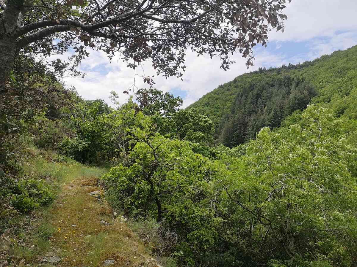
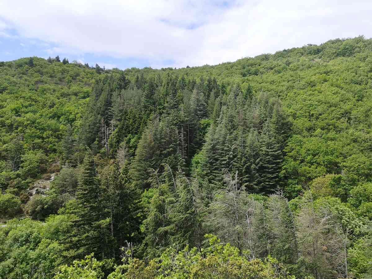
Here, under the protection of deciduous and coniferous forests, you take the time to enjoy the hike in cool surroundings.You will encounter the Cesse, emblematic river of Minervois, which originates here.Shorter...
Here, under the protection of deciduous and coniferous forests, you take the time to enjoy the hike in cool surroundings.
You will encounter the Cesse, emblematic river of Minervois, which originates here.
Shorter option possible 7km - 2h - 235m ascent

1
Park in the car park at the exit of the village, road D12 towards Campredon/Saint-Pons-de-Thomières. Start the hike by returning towards the village center, then after about 300m, go down to the left onto rue du Lavoir.
2
After the bridge, climb the path to the right. It opens onto a small road to follow for 550m.
3
At the intersection, take the track to the right.
4
After 400m, take the track on the right and continue for 900m.
5
At the next intersection, keep left and leave the track on the right.
6
After 1.5km, pass the right intersection (short variant) and reach a crossroads of tracks. Take right and pass in front of the tank. Take the track furthest left after the tank and climb. Short variant: After 1.5km, at the intersection, take the track to the right (do not go to the tank). Walk 200m. At the next fork, continue descending for 250m.
7
After 650m, take the track to the right.
8
Descend for 500m and follow the track again to the right. Follow it for 1.5km and open onto another track.
9
Climb right for 100m then turn left. Stay on the main track for 1.3km, ignore forks to the right.
10
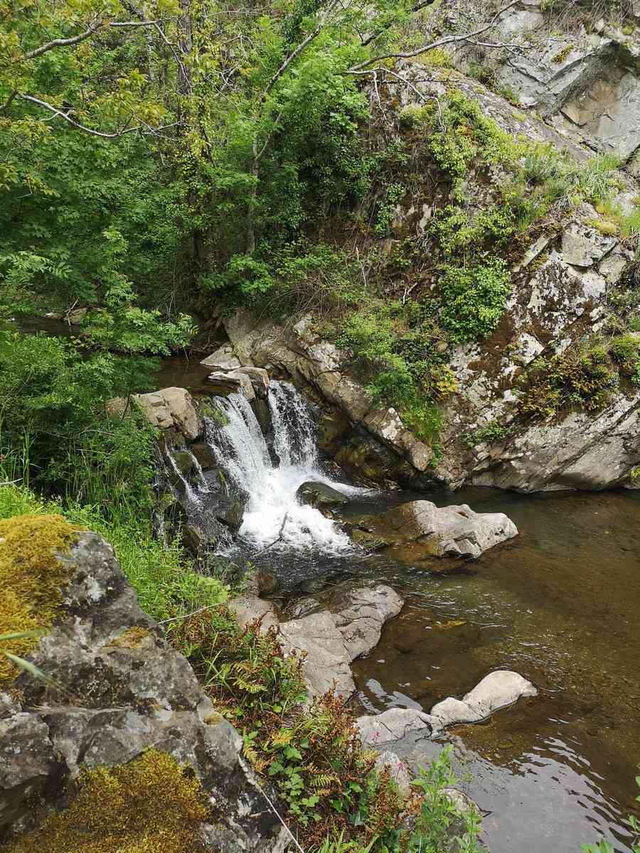
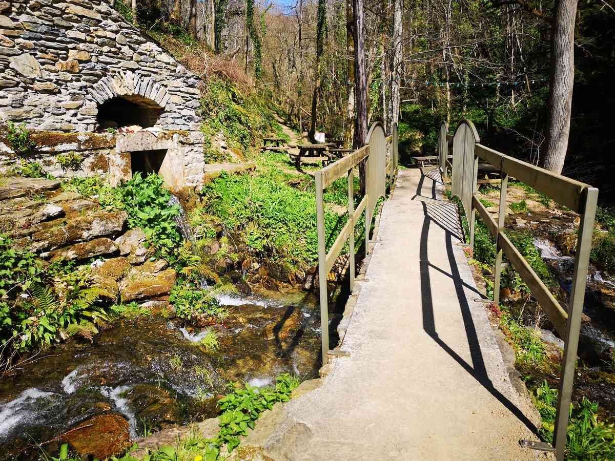
Take the track on the right then the path for 1.5km to the footbridge and waterfalls. Climb back towards the village and cross it to return to the car park.
Our little advice: discover the Source of the Cesse, an ideal place for your picnic.
Access: at the exit of the village, towards La Pode after the bridge, take right along the river.
Blue local interest trails
+33 4 67 87 06 65
Minervois au Caroux Tourist Office
Country interest trails
Obľúbené výlety v okolí
-
HIKING IN THE TOWN OF MINERVE
strednáTuristika 8,79 km -
Peyremaux rock
ťažkéTuristika 13,3 km -
CIT'ART HIKE OF THE HAUTS DE FERRALS
strednáTuristika 15,5 km -
CYCLE LOOP NO.12 - THE ASSAULT ON THE HAUT-LANGUEDOC FROM MINERVE
svetloCyklistika 37,3 km -
CAR-FREE NATURE ESCAPADE IN THE GREAT SITES - FROM BÉZIERS TO CARCASSONNE VIA THE NORTH
strednáCyklistika 139,6 km -
OENORANDO® DES MOURELS
svetloTuristika 6,03 km -
OENORANDO® LE CRU LA LIVINIERE
svetloTuristika 11,5 km -
Hiking: Les clairières de Sales
svetloTuristika 8,46 km -
LE SENTIER DES MEULIERES
svetloTuristika 1,02 km -
BEAUFORT: THE ST CÔME PATH
svetloTuristika 7,30 km

Turistika a stopovanie


Nenechajte si ujsť ponuky a inšpiráciu na ďalšiu dovolenku
Vaša e-mailová adresa bol pridaný do poštového zoznamu.