
Chemin de la Transhumance Plateau de Beille - Val d'Incles
ťažké
Získajte túto prehliadku v mobilnom telefóne
Chemin de la Transhumance Plateau de Beille - Val d'Incles
ťažké
Turistika
37,15
km
Naskenujte kód QR a spustite navigáciu v aplikácii bergfex


Turistika a stopovanie





Chemin de la Transhumance Plateau de Beille - Val d'Incles
ťažké
Vzdialenosť
37,2
km
Trvanie
05:00
h
Ascent
1 973
hm
Hladina mora
1 837 -
2 436
m

Naviguj sa počas prehliadky v aplikácii
Nainštalujte si aplikáciu zadarmo a sledujte trasu vďaka GPS navigácii a sledovaniu polohy.
Využite službu „ bergfex “ už teraz v aplikácii
Naskenuj QR kód pomocou fotoaparátu
Ak máte aplikáciu nainštalovanú, obsah sa otvorí priamo. Ak aplikáciu ešte nemáte, budete presmerovaní na stránku, kde si ju môžete bezplatne stiahnuť.
Úroveň náročnosti: T2
Stiahnutie skladby
Chemin de la Transhumance Plateau de Beille - Val d'Incles
ťažké
Turistika
37,15
km
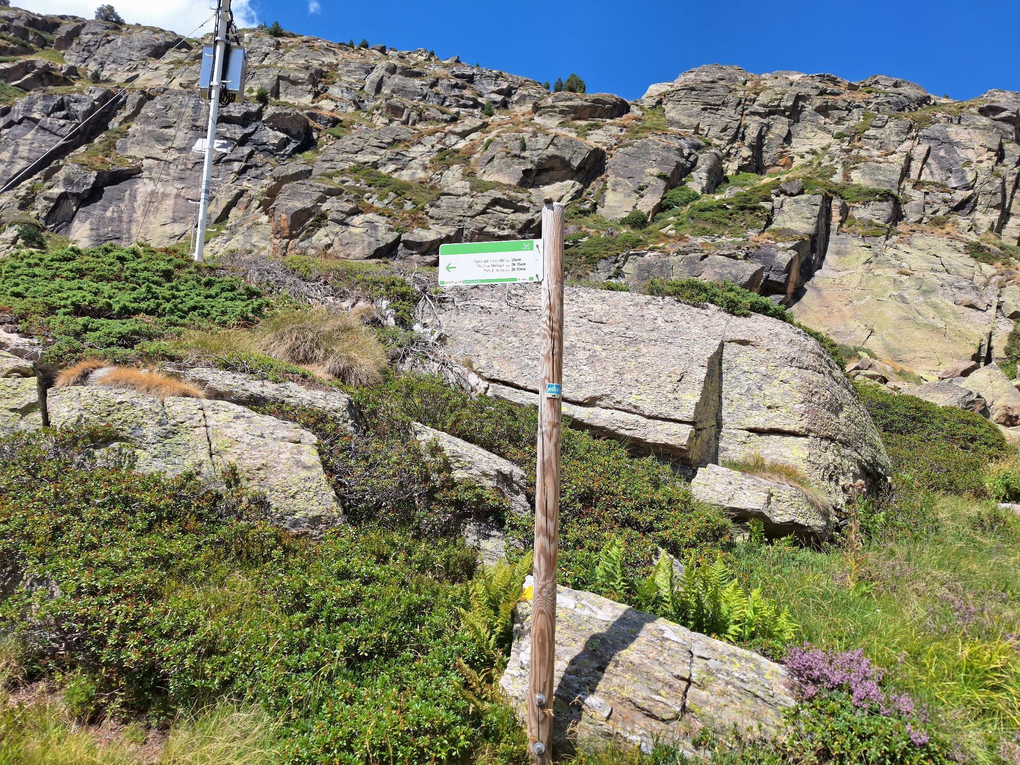
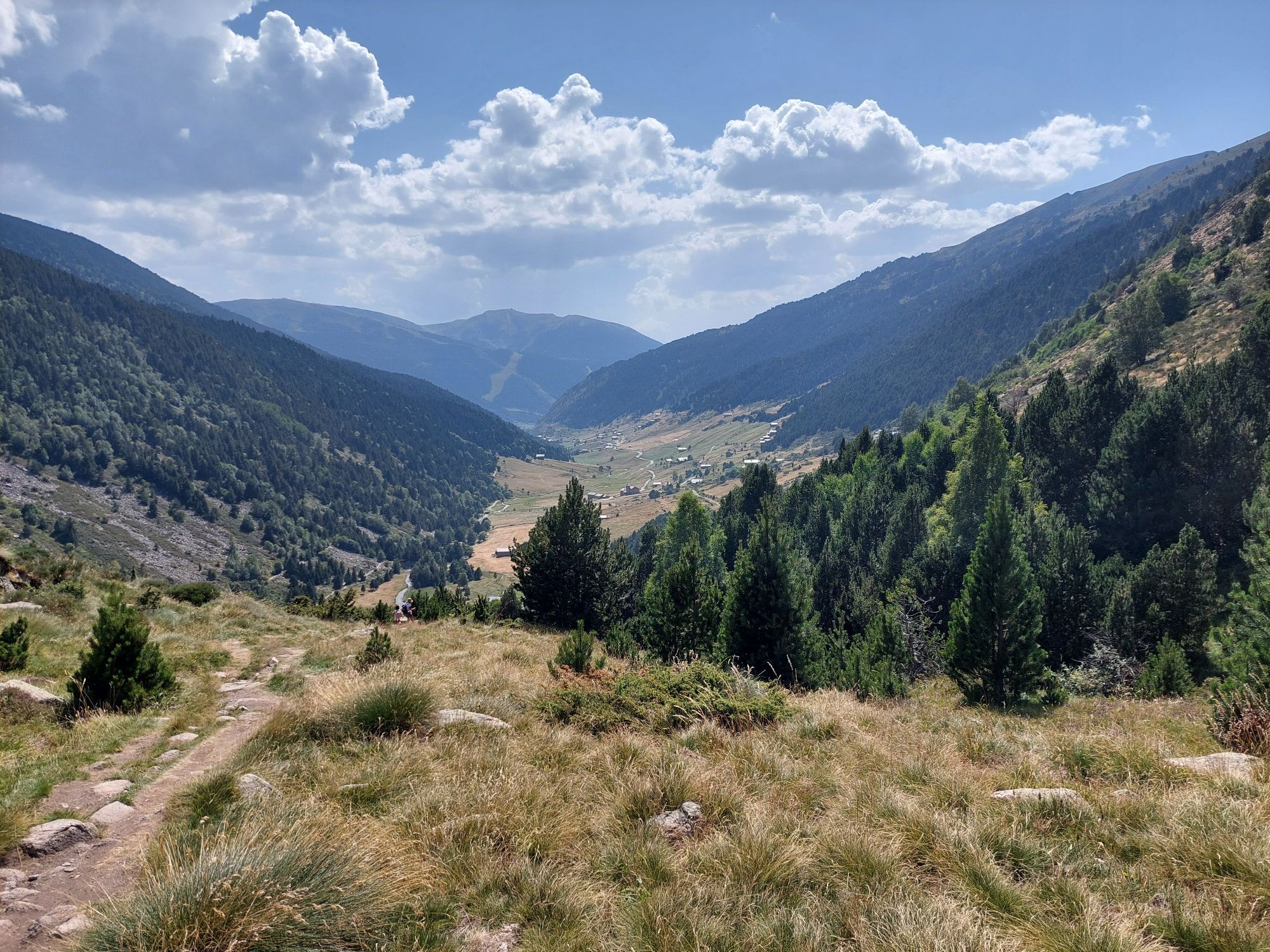
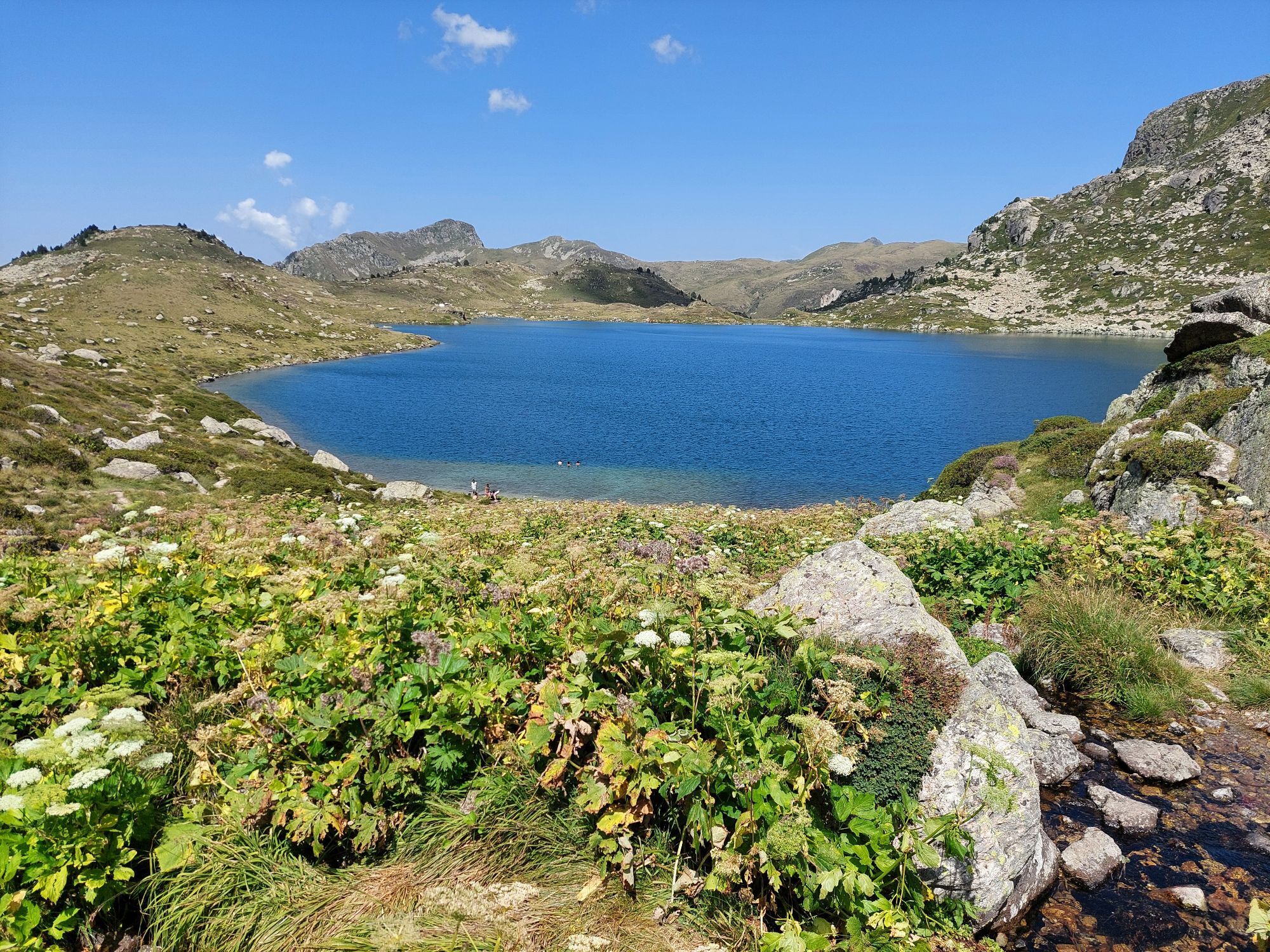
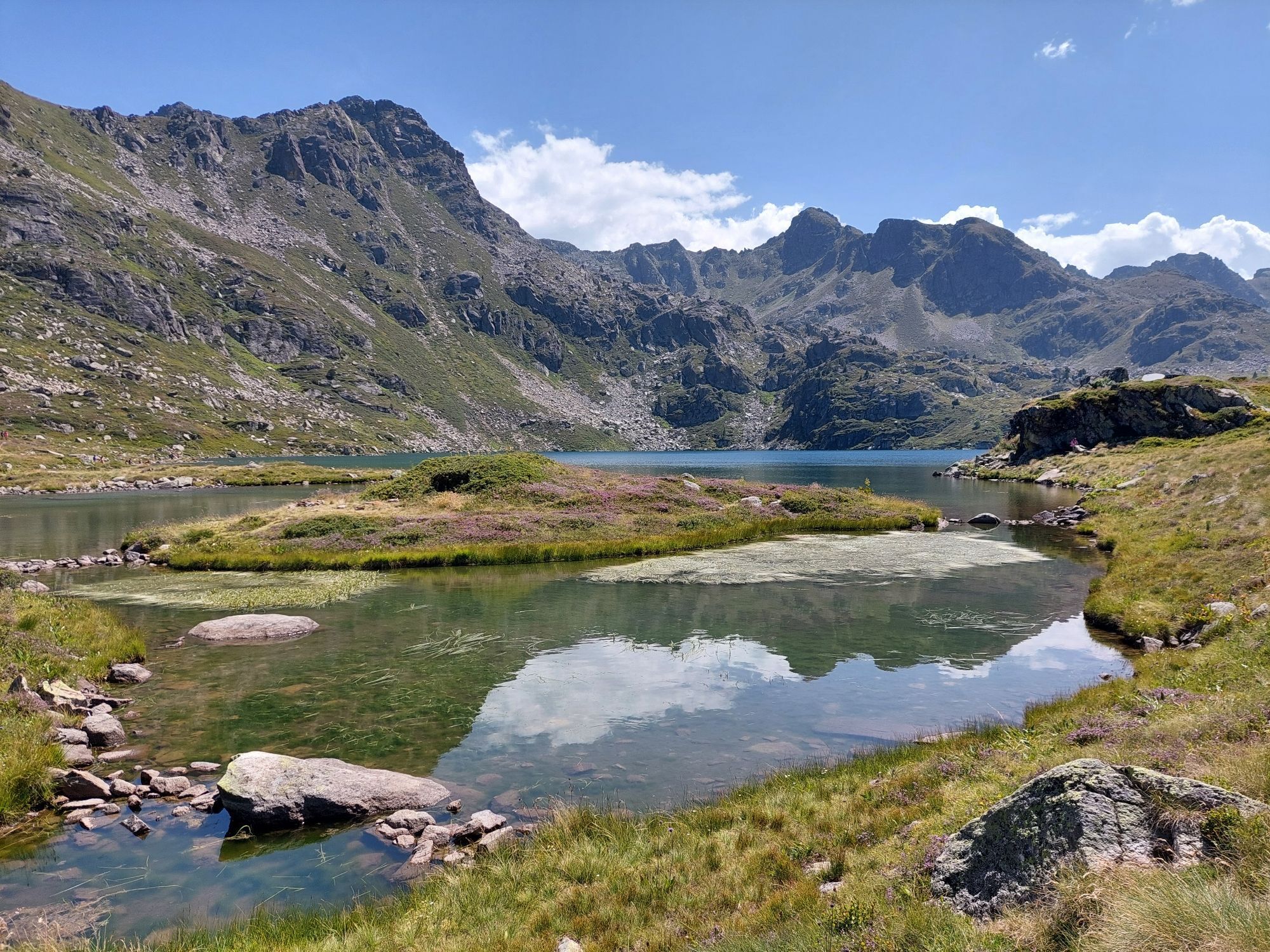
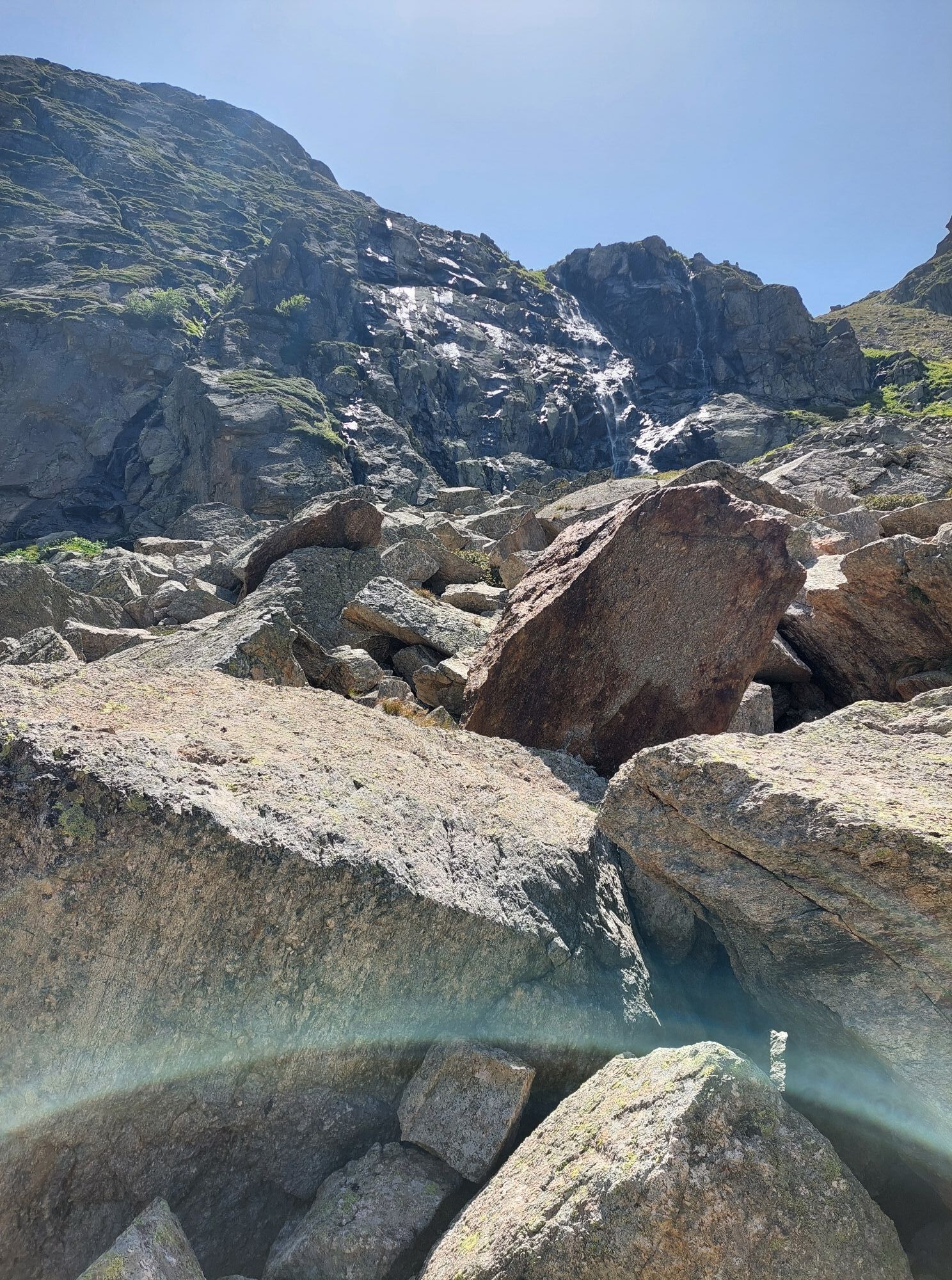
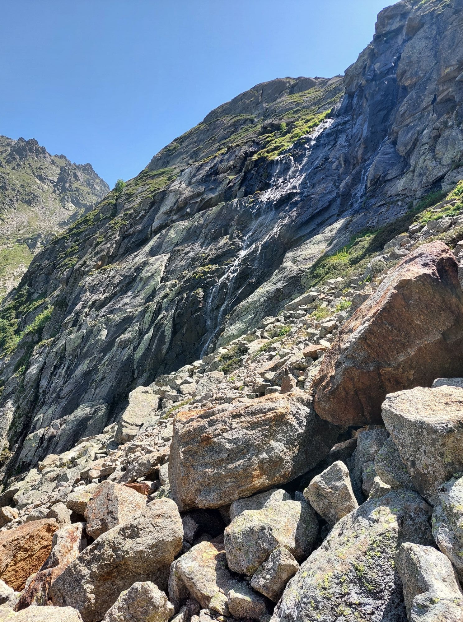
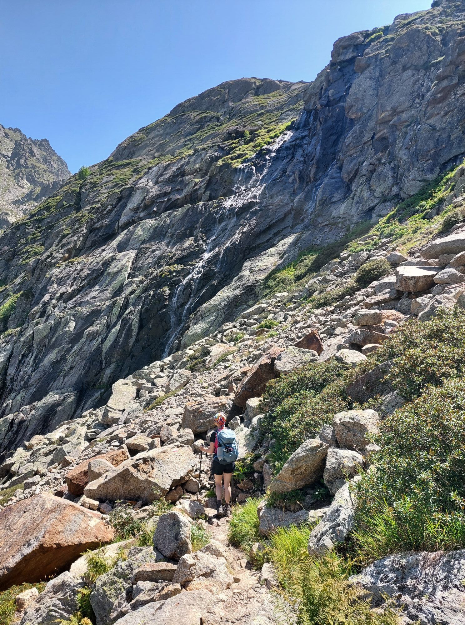
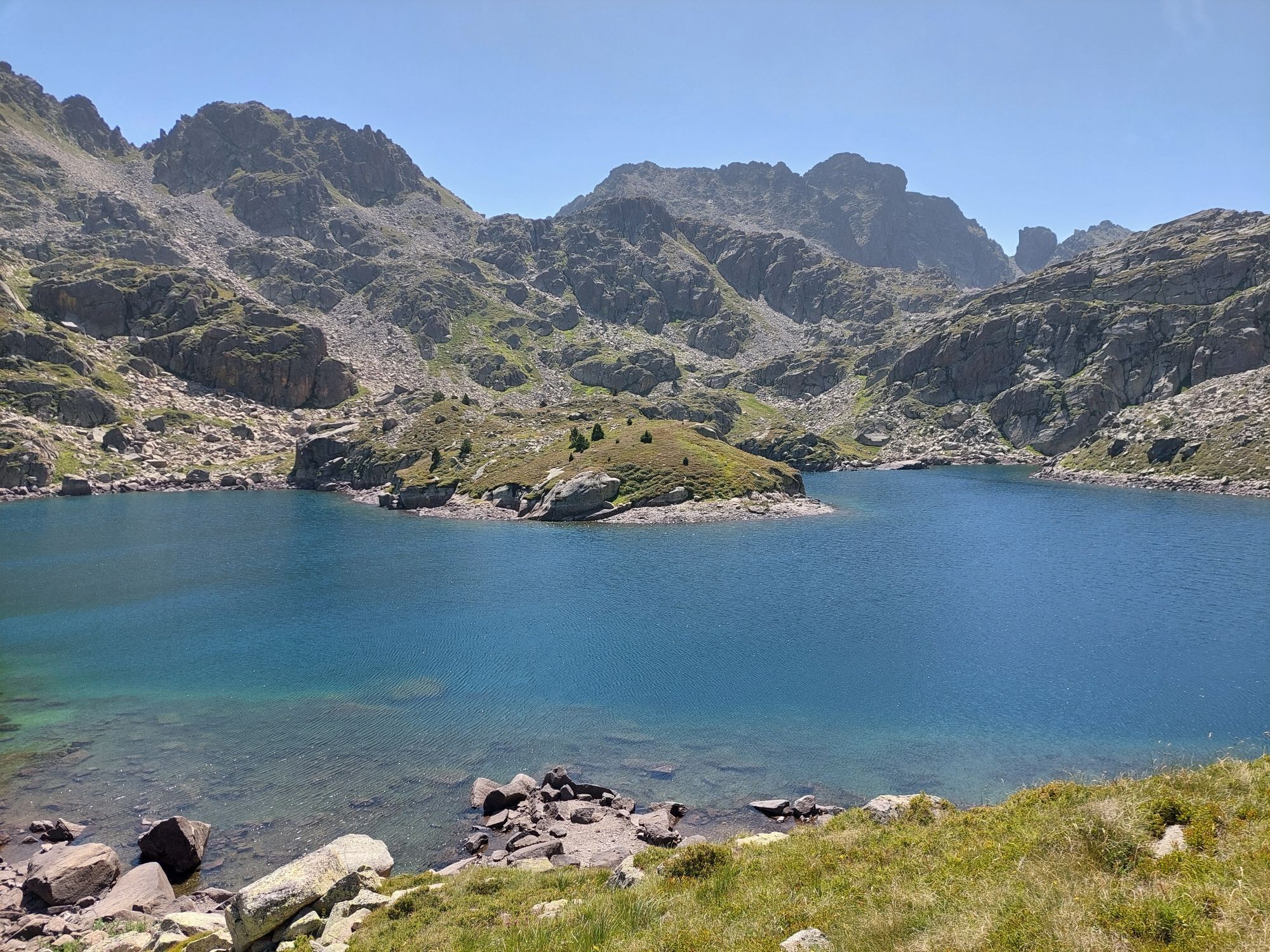
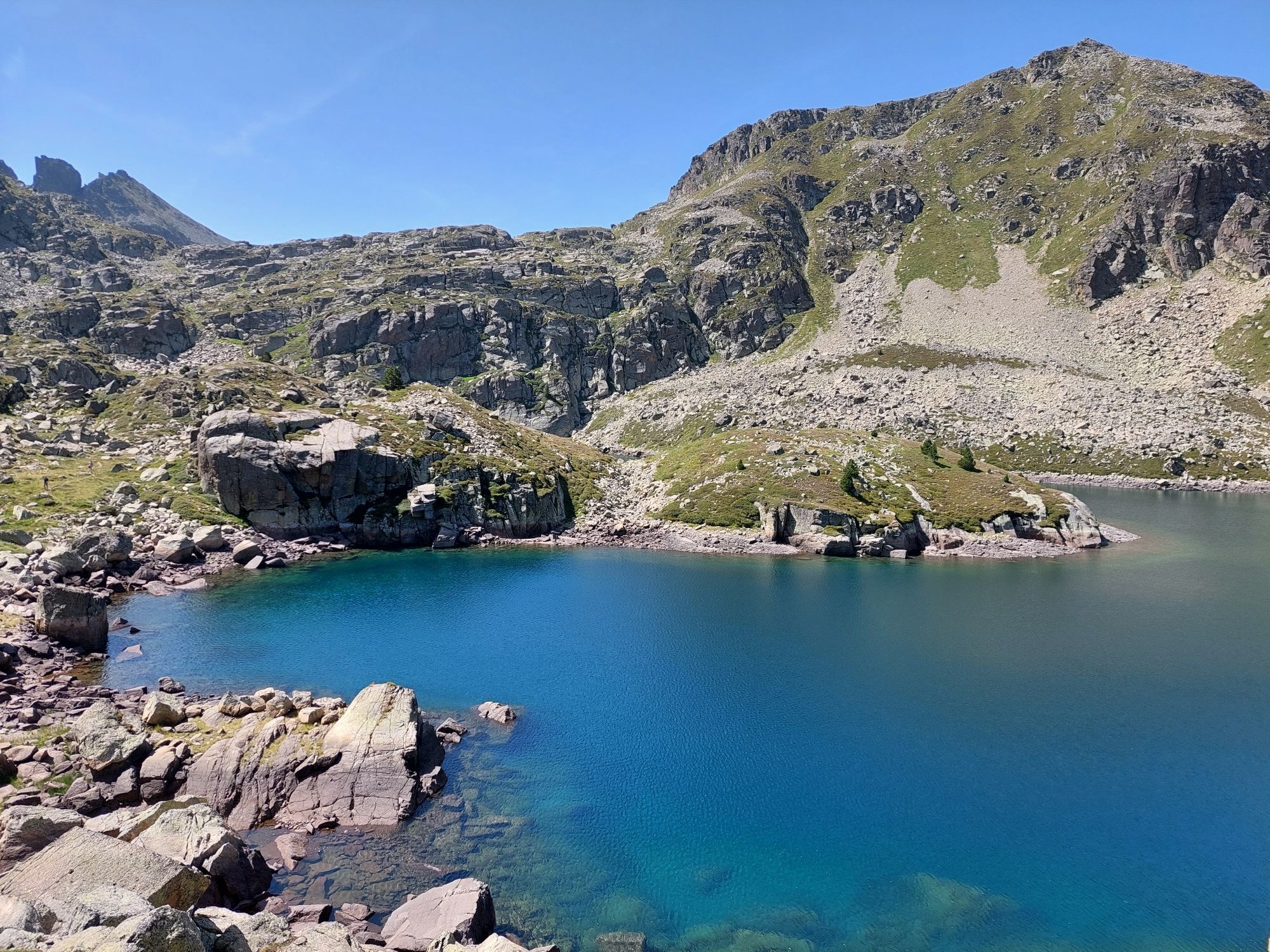
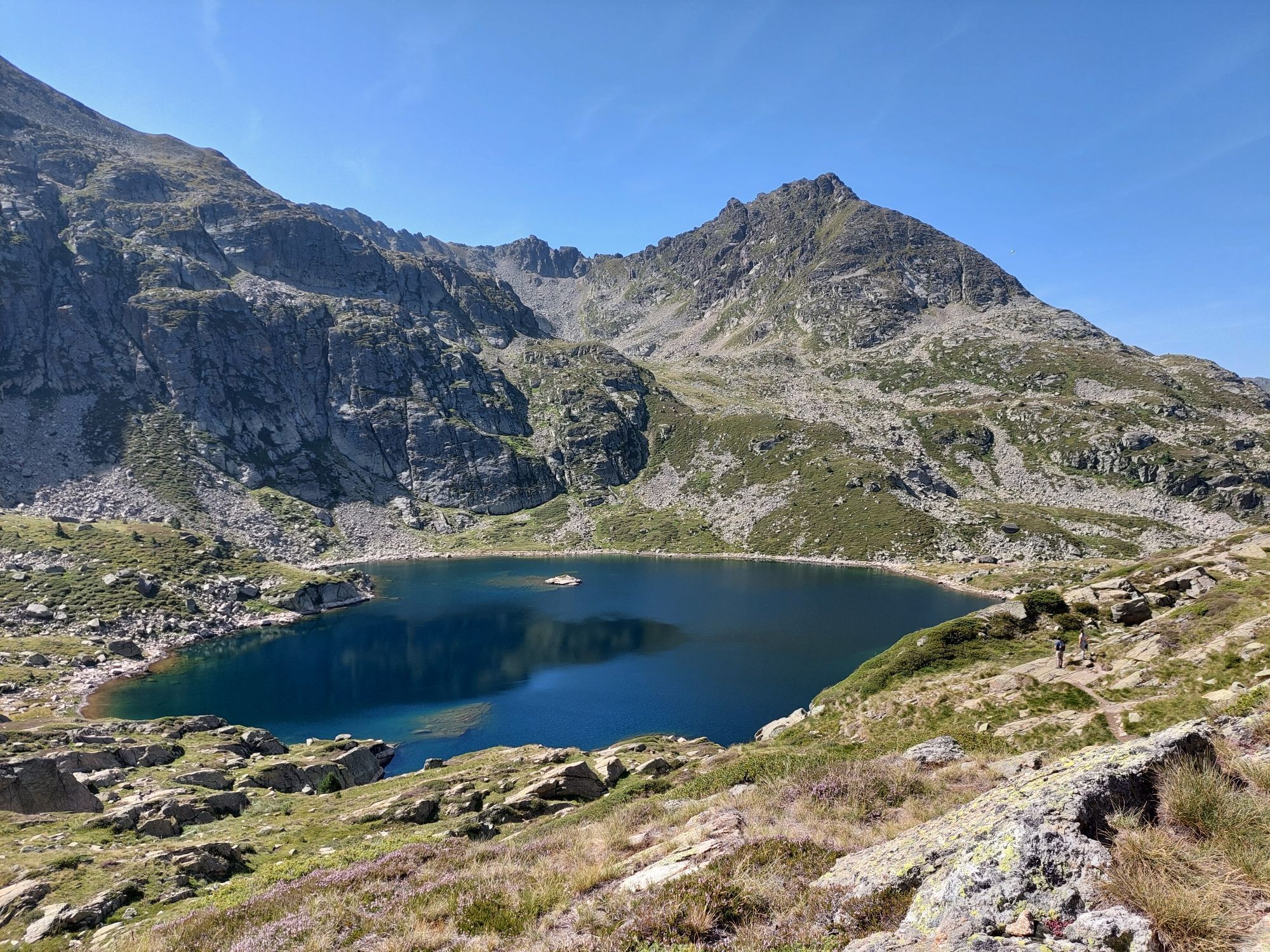
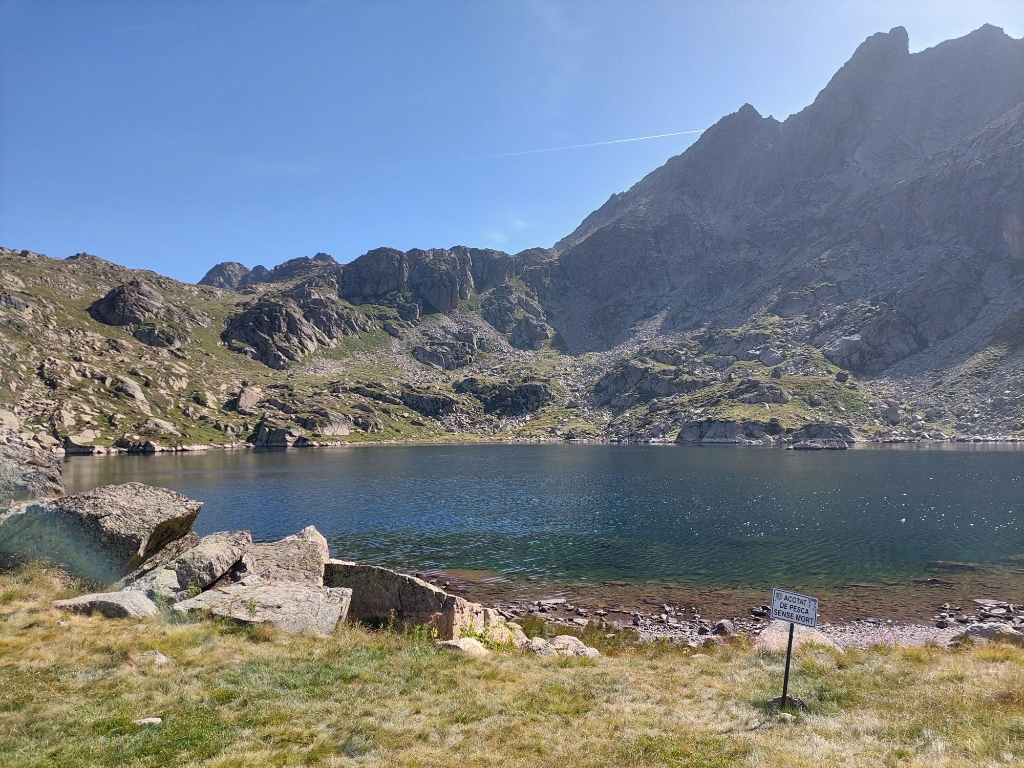
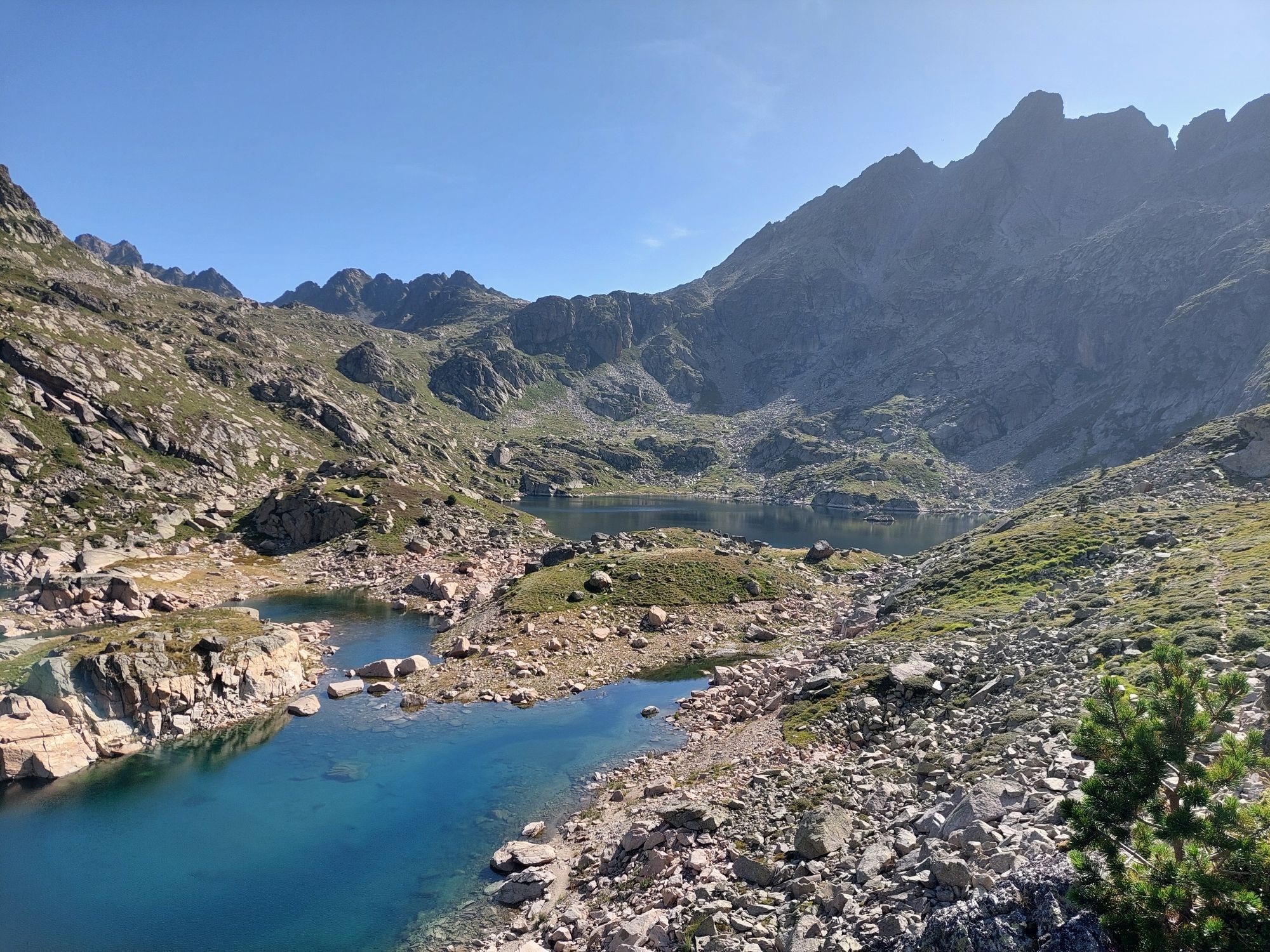
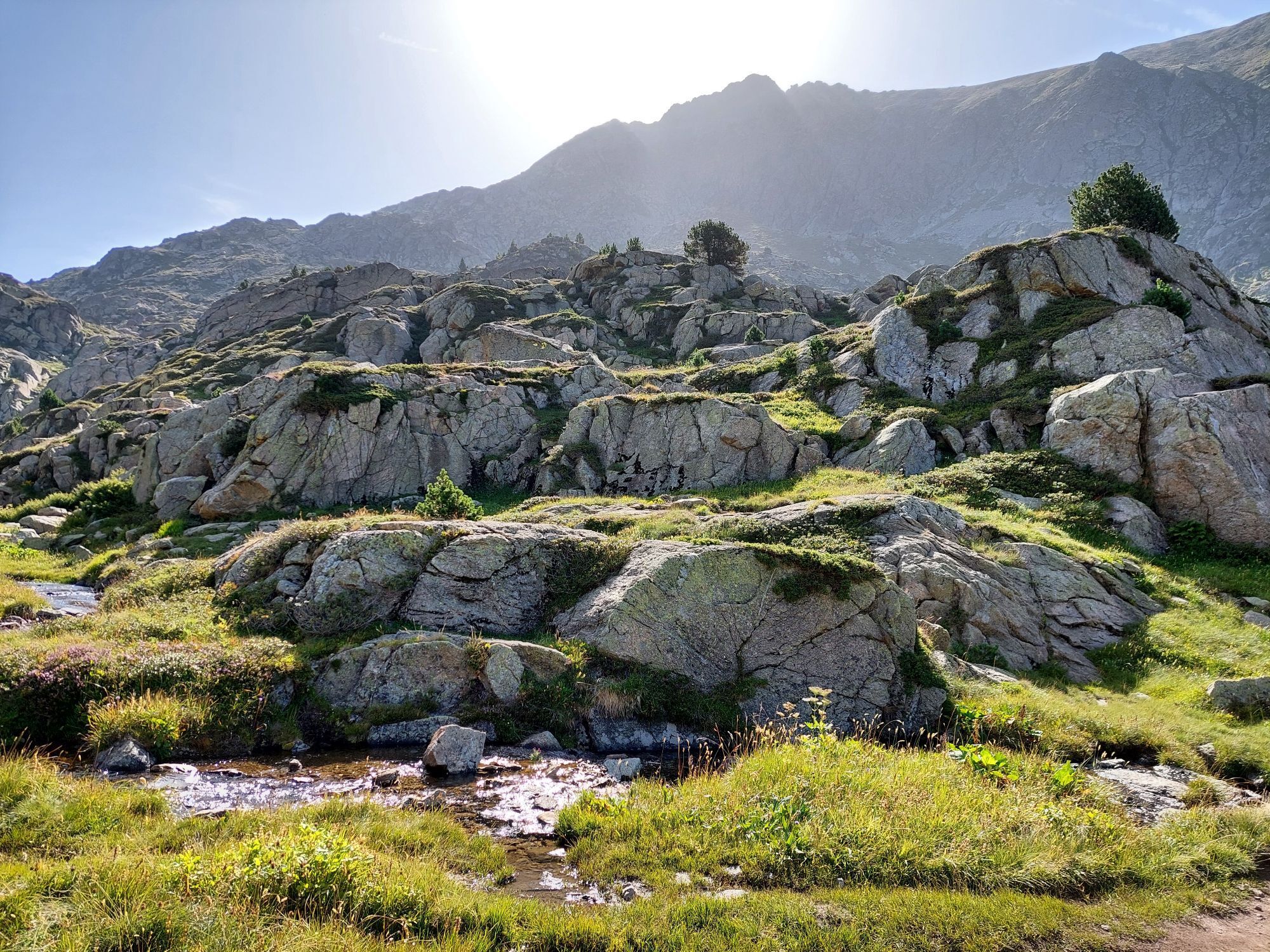
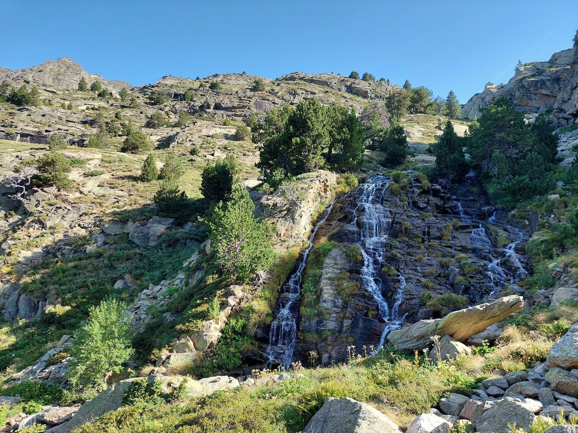
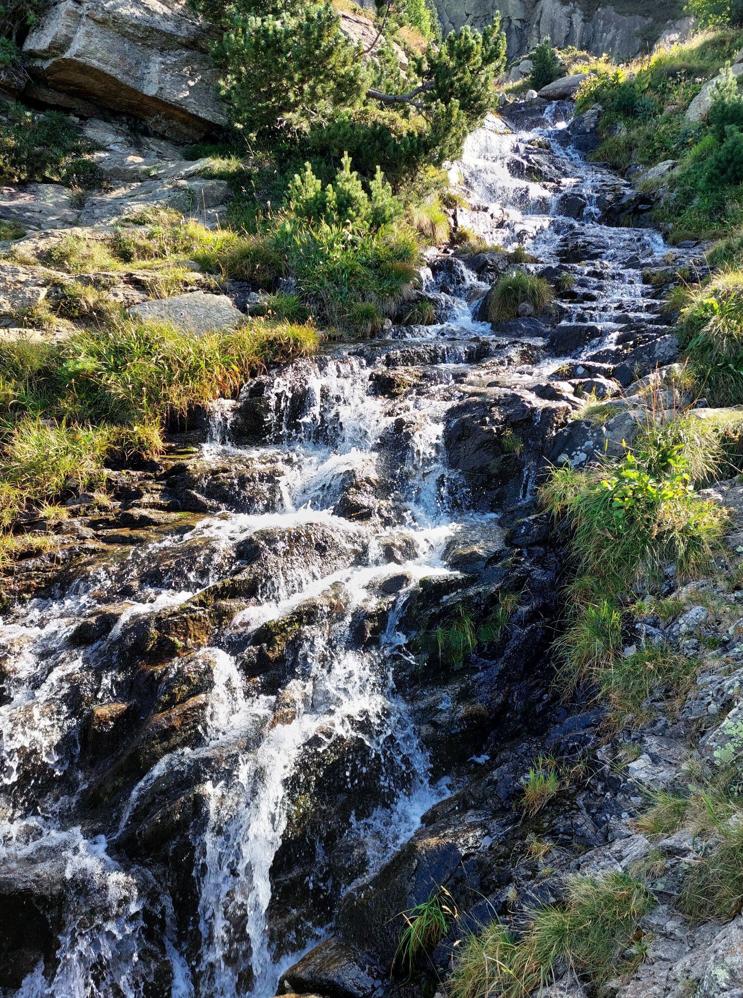
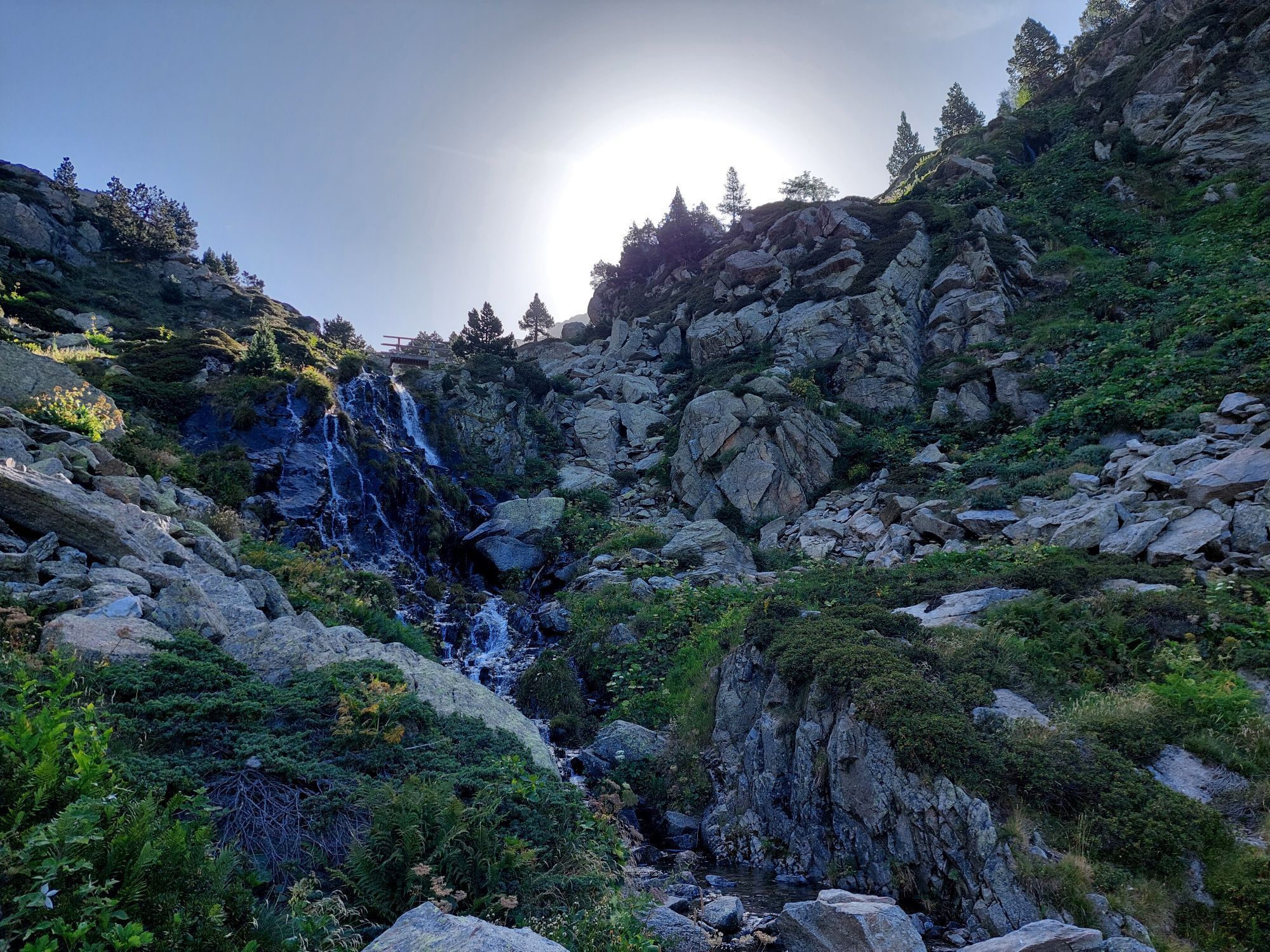
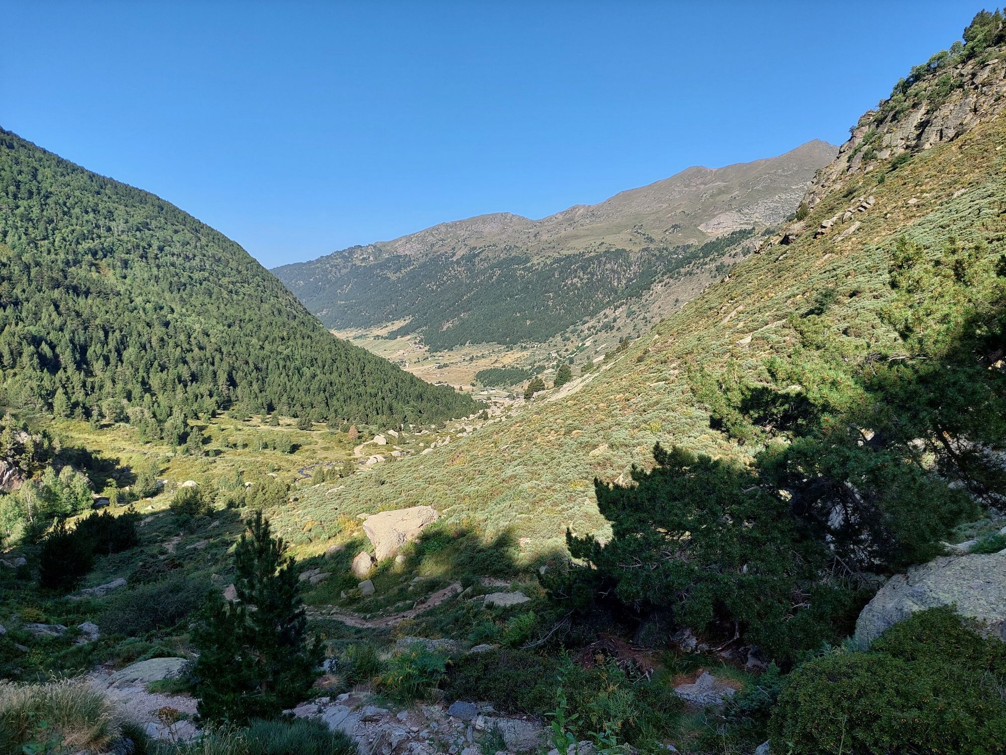
From Ax, head for Tarascon sur Ariège. Continue on the N20 to the village of Les Cabannes. From this village, head for the Plateau de Beille via the D522. The hike starts from the Plateau de Beille parking...
Opis
From Ax, head for Tarascon sur Ariège. Continue on the N20 to the village of Les Cabannes. From this village, head for the Plateau de Beille via the D522. The hike starts from the Plateau de Beille parking lot.
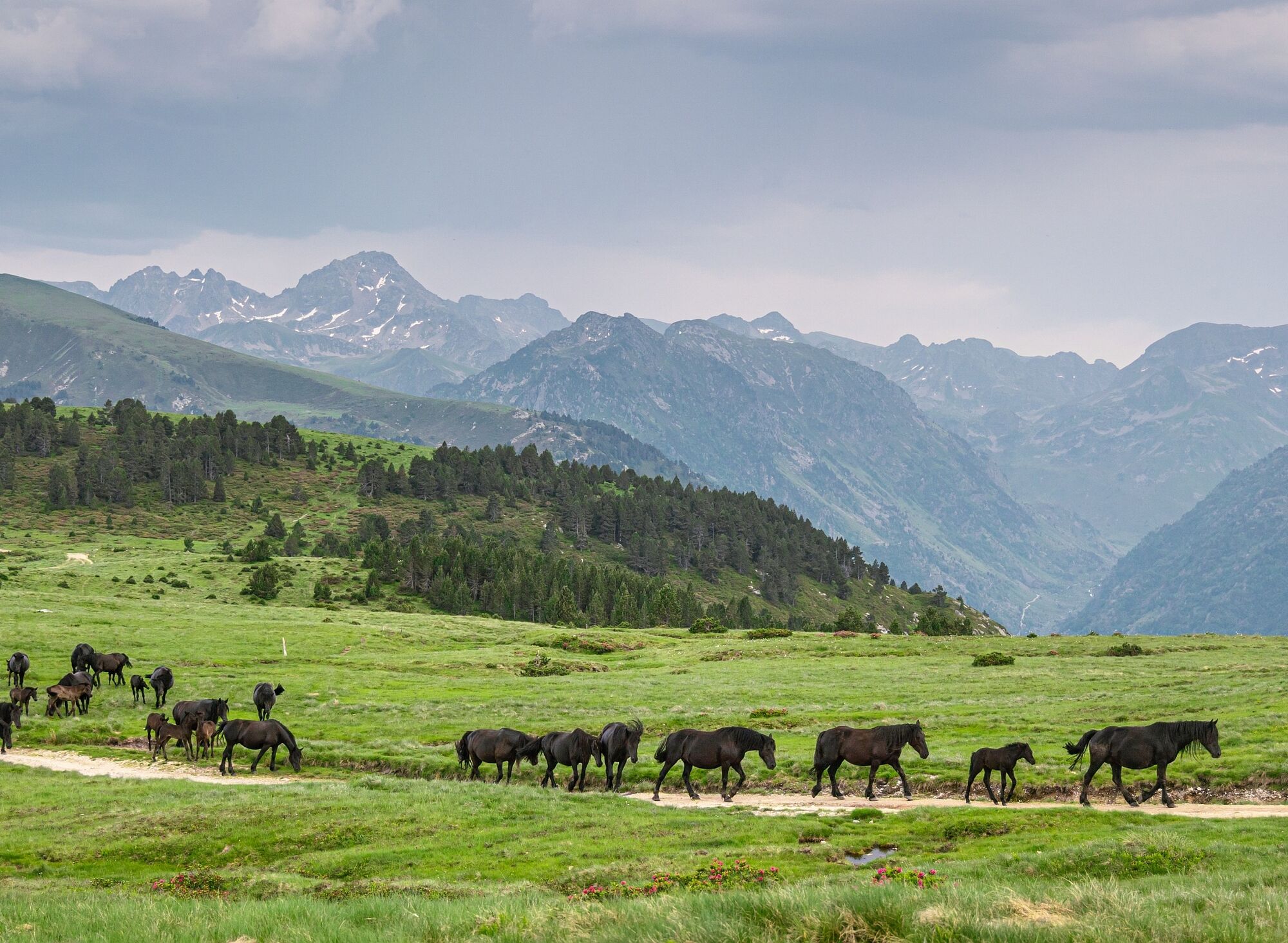
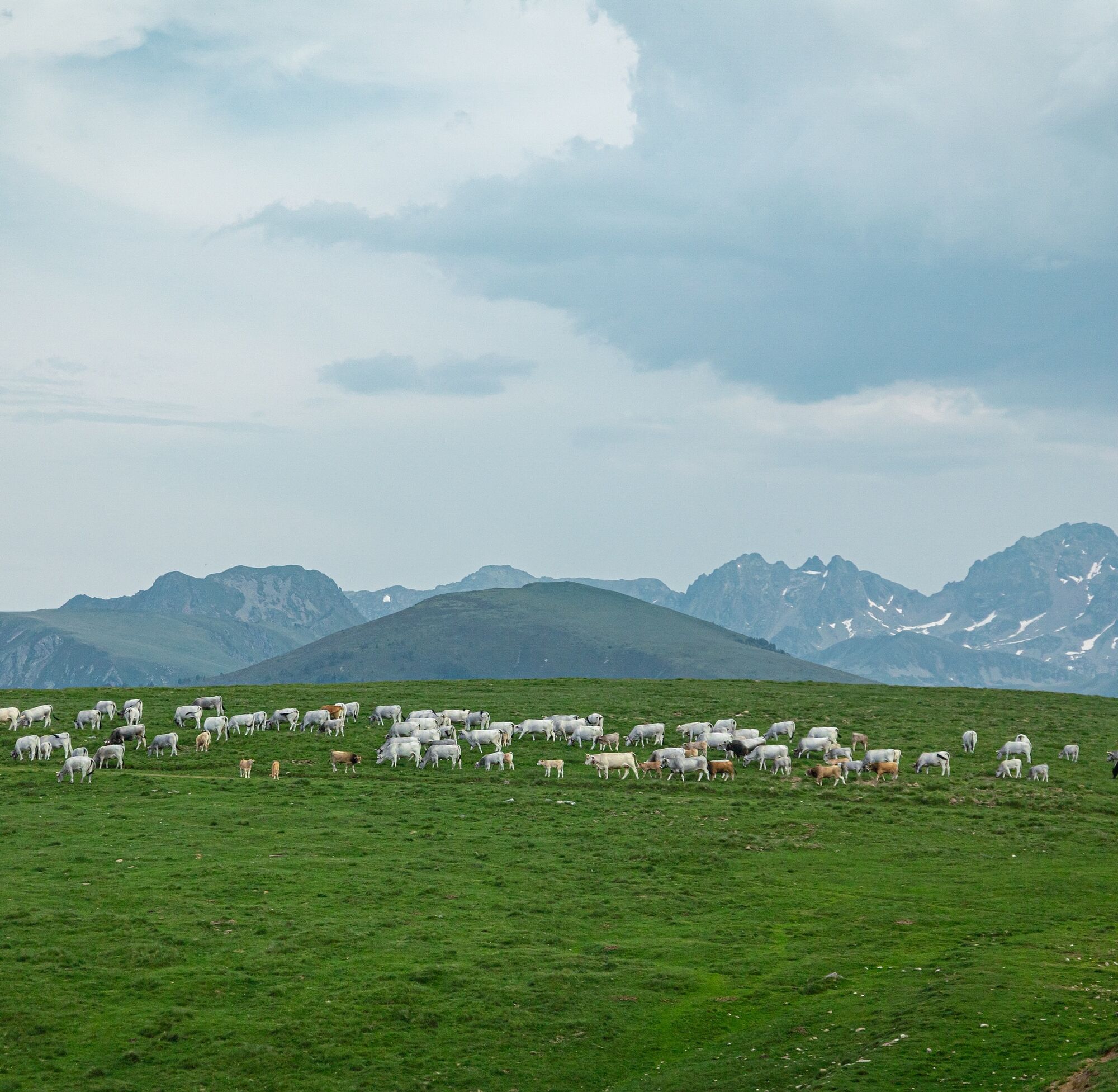
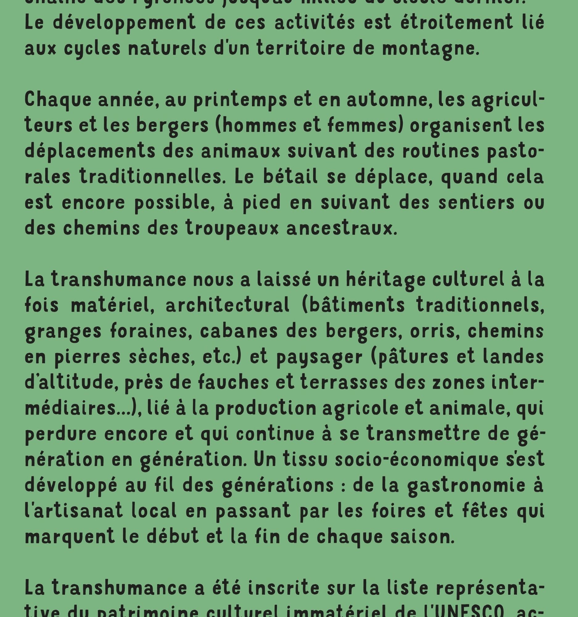
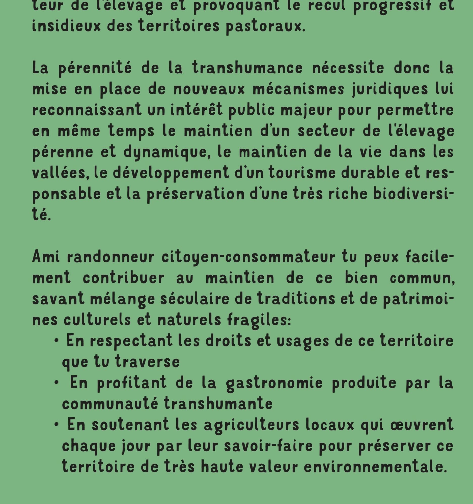
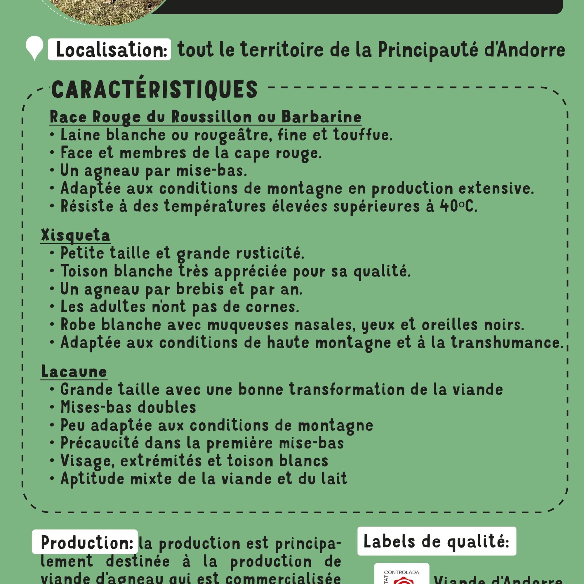
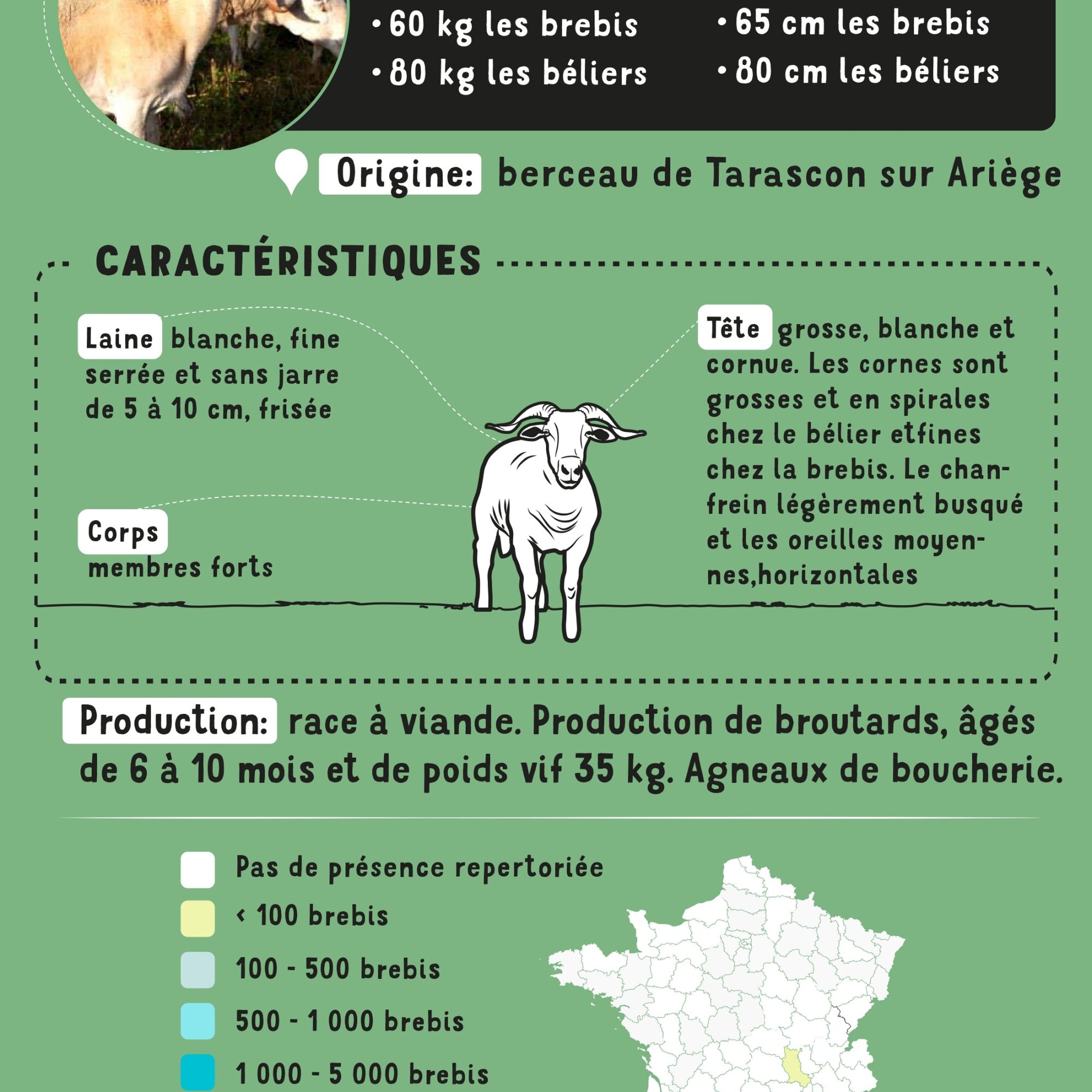
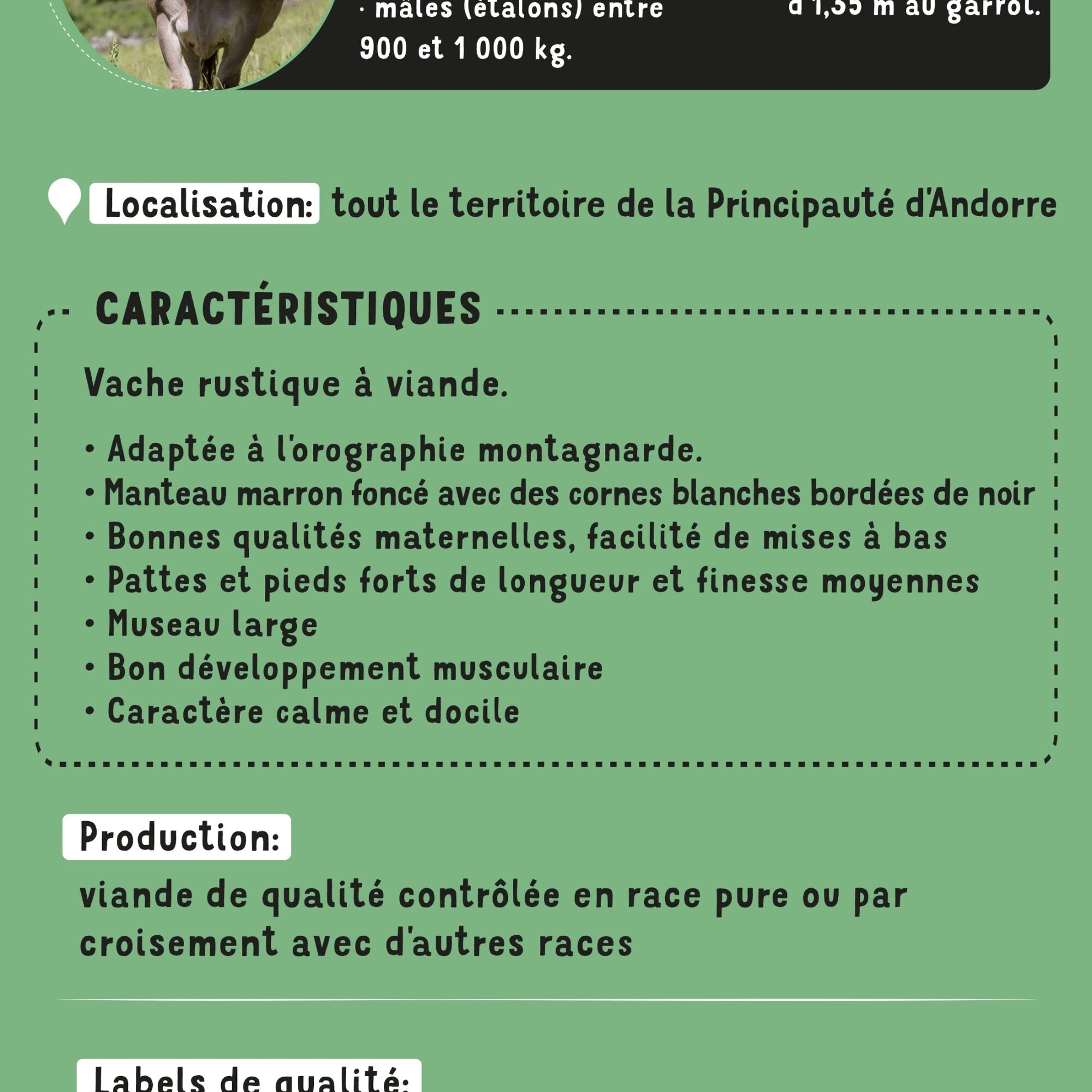
Every year, in spring and autumn, farmers and shepherds (men and women) organize the movement of their animals according to traditional pastoral routines. Whenever possible, livestock move on foot, following the paths and tracks of ancestral herds. Transhumance has left us a cultural heritage that is both material and architectural (traditional buildings, barns, shepherds' huts, orris, dry-stone paths, etc.), as well as landscape (highland pastures and heaths, hay meadows and terraces in intermediate areas, etc.), linked to agricultural and livestock production, which still endures and continues to evolve.
and continues to be passed down from generation to generation.
All this by following the following best practices: https://www.ariegepyrenees.com/preparer/randonner/montagne-mode-demploi/
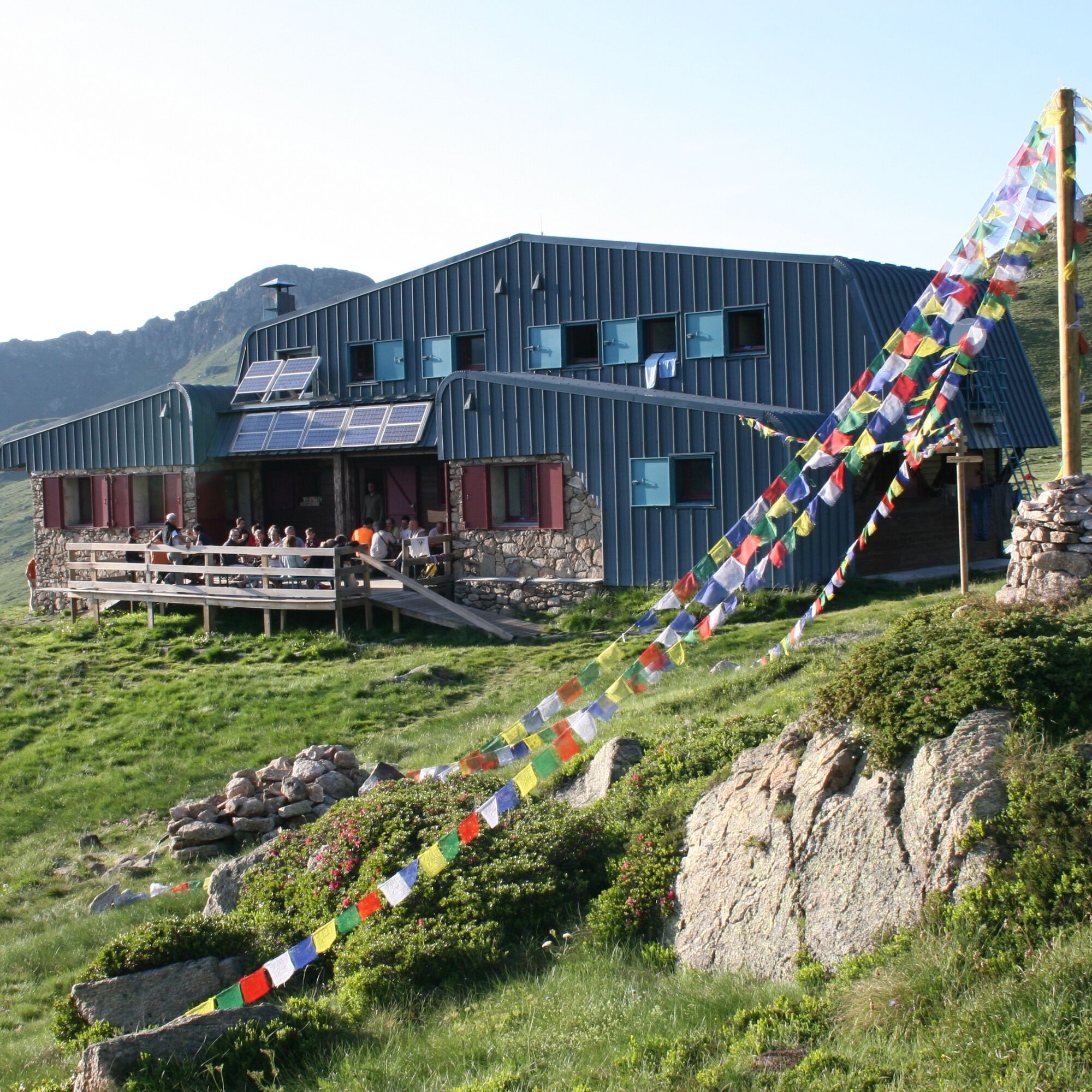
Book a night in one of our refuges:
http://www.refugidejuclar.com/
https://rulhe.com/
Every year, in spring and autumn, farmers and shepherds (men and women) organize the movement of their animals according to traditional pastoral routines. Whenever possible, livestock move on foot, following the paths and tracks of ancestral herds. Transhumance has left us a cultural heritage that is both material and architectural (traditional buildings, barns, shepherds' huts, orris, dry-stone paths, etc.), as well as landscape (highland pastures and heaths, hay meadows and terraces in intermediate areas, etc.), linked to agricultural and livestock production, which still endures and continues to evolve.
and continues to be passed down from generation to generation.
All this by following the following best practices: https://www.ariegepyrenees.com/preparer/randonner/montagne-mode-demploi/
Book a night in one of our refuges:
http://www.refugidejuclar.com/
https://rulhe.com/
Trasa
Prat Moll
(1 999 m)
Summit
2,6 km
Col de Belh
(2 220 m)
Horské sedlo
10,2 km
Refuge du Rulhe
(2 189 m)
Úkryt
10,5 km
Pont de la Baladosa
(1 839 m)
Koridor/terén
17,6 km
Refugi de Juclar
(2 311 m)
Úkryt
21,0 km
Col de Belh
(2 220 m)
Horské sedlo
26,8 km
Prat Moll
(1 999 m)
Summit
34,4 km
Trasa
Chemin de la Transhumance Plateau de Beille - Val d'Incles
ťažké
Turistika
37,15
km
Plateau de Beille
(1 937 m)
Koridor/terén
0,0 km
Prat Moll
(1 999 m)
Summit
2,6 km
Col du Rieutort
(2 250 m)
Horské sedlo
9,6 km
Col de Belh
(2 220 m)
Horské sedlo
10,2 km
Refuge du Rulhe
(2 189 m)
Úkryt
10,5 km
Source d'eau
(2 151 m)
Zdroj
10,9 km
l'Ovella Negra
(1 838 m)
Reštaurácia
17,6 km
Pont de la Baladosa
(1 839 m)
Koridor/terén
17,6 km
Font del Travenc
(1 940 m)
Zdroj
18,5 km
Picnic del Travenc
(1 929 m)
Koridor/terén
18,5 km
Cascada del Juclar
(2 176 m)
Vodopád
19,7 km
Refugi de Juclar
(2 311 m)
Úkryt
21,0 km
Source d'eau
(2 151 m)
Zdroj
26,2 km
Refuge du Rulhe
(2 189 m)
Úkryt
26,5 km
Col de Belh
(2 220 m)
Horské sedlo
26,8 km
Col du Rieutort
(2 250 m)
Horské sedlo
27,4 km
Prat Moll
(1 999 m)
Summit
34,4 km
Plateau de Beille
(1 937 m)
Koridor/terén
36,9 km
Autor
Poskytuje Ariège Pyrénées Tourismus
Prehliadku Chemin de la Transhumance Plateau de Beille - Val d'Incles zabezpečuje outdooractive.com.


Informácie o trase
Trasa
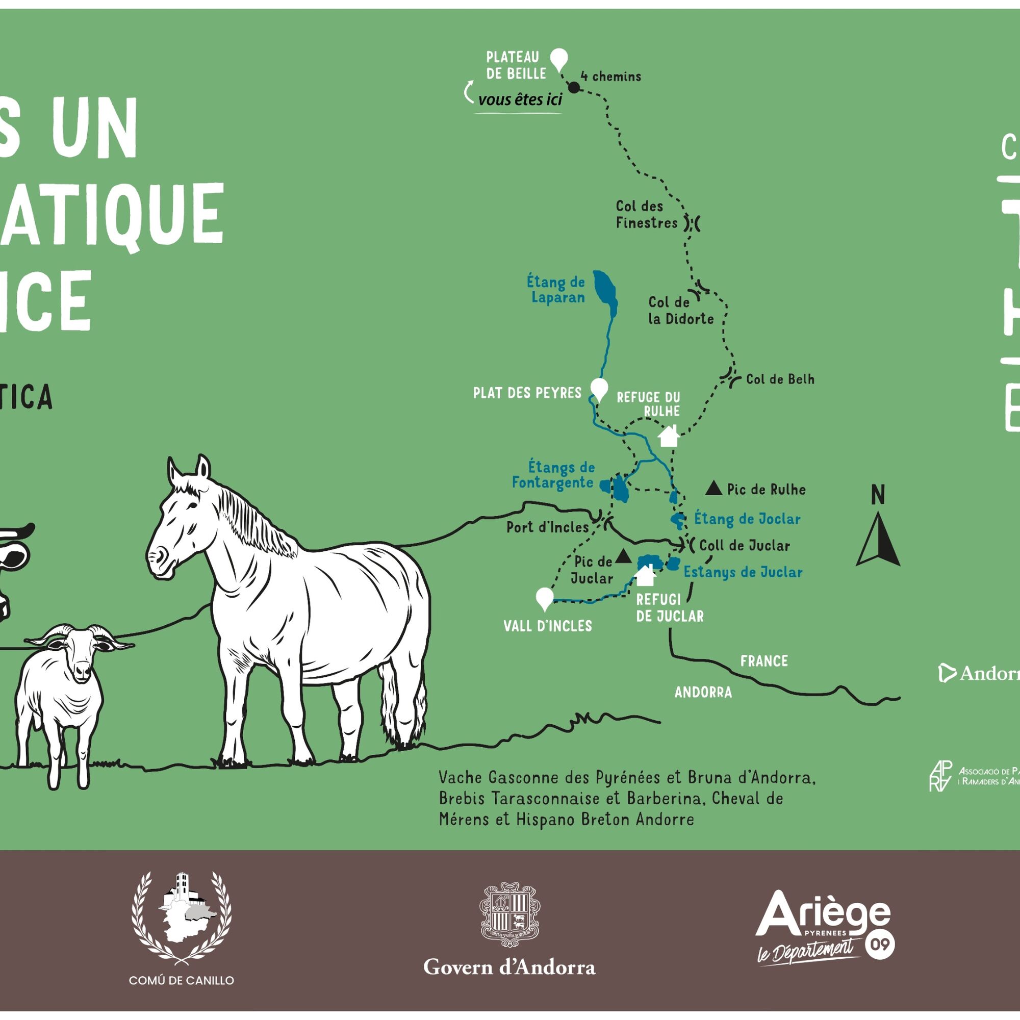
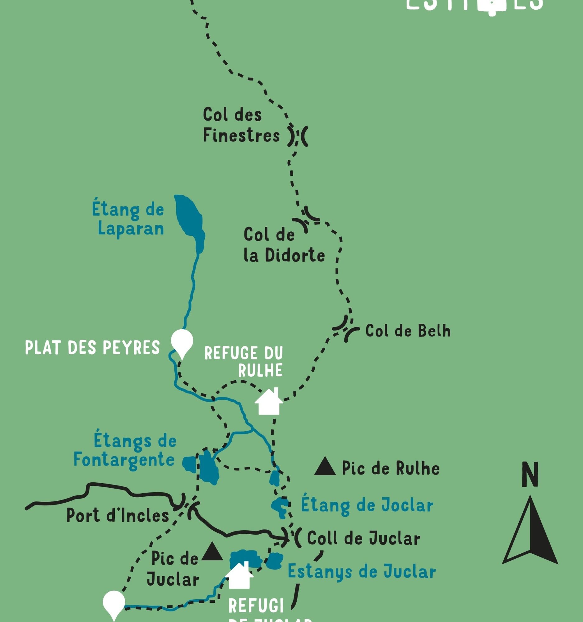
STAGE 1: PLATEAU DE BEILLE - REFUGE DU RULHE Walking time: 5h - Distance: 11 km Vertical rise +/-: 620m / 370m
STAGE 2: REFUGE DU RULHE - FONTARGENTE - VAL D'INCLES - REFUGE DE JOCLAR Walking time: 5h30 - Distance: 11 km Vertical rise +/-: 630m / 510m
STAGE 3: REFUGE DE JOCLAR - REFUGE DU RULHE Walking time: 3h00 - Distance: 6 km Vertical rise +/-: 210m / 340m
STAGE 4: REFUGE DU RULHE - PLATEAU DE BEILLE Walking time: 4h40 - Distance: 11 km Vertical rise +/-: 370m / 620m
STAGE 2: REFUGE DU RULHE - FONTARGENTE - VAL D'INCLES - REFUGE DE JOCLAR Walking time: 5h30 - Distance: 11 km Vertical rise +/-: 630m / 510m
STAGE 3: REFUGE DE JOCLAR - REFUGE DU RULHE Walking time: 3h00 - Distance: 6 km Vertical rise +/-: 210m / 340m
STAGE 4: REFUGE DU RULHE - PLATEAU DE BEILLE Walking time: 4h40 - Distance: 11 km Vertical rise +/-: 370m / 620m
Ďalšie informácie a tipy
Úroveň náročnosti
T2
Zatiaľ žiadne recenzie
Webové kamery z prehliadky

Všetky webové kamery na mape
Nainštaluj si aplikáciu zadarmo a porovnaj živé zábery z viacerých miest, než vyrazíš.
Využite službu „ bergfex “ už teraz v aplikácii
Naskenuj QR kód pomocou fotoaparátu
Ak máte aplikáciu nainštalovanú, obsah sa otvorí priamo. Ak aplikáciu ešte nemáte, budete presmerovaní na stránku, kde si ju môžete bezplatne stiahnuť.

Obľúbené výlety v okolí
-
4,5
Soldeu - Vall d'Incles - Picnic - Cami de l'Obac
svetloTuristika 10,8 km -
The Bonshommes Trail GR®107
strednáTuristika 224,7 km -
GR®10 - The great crossing of the Pyrenees
ťažkéTuristika 278,3 km -
Soldeu - Estany de Querol - Basses de les Salamandres - near Estany Cabana Sorda
ťažkéTuristika 11,1 km -
5,0
Soldeu - Estanys Siscaro - Soldeu
strednáTuristika 14,3 km -
Fontargente ponds
svetloTuristika 7,78 km -
Étang des Bésines and its refuge
svetloTuristika 14,6 km -
Refuge du Rulhe via Le Rieutort
svetloTuristika 13,2 km -
Soldeu - Estany Querol - Estanys Salamandre - Cabana Sorda
strednáTuristika 13,8 km -
Comte pond
svetloTuristika 5,07 km
Turistika a stopovanie

Viac ako 550.000 návrhov výletov, podrobné mapy a intuitívny plánovač trás robia z aplikácie povinnú výbavu pre všetkých nadšencov prírody.

Nenechajte si ujsť ponuky a inšpiráciu na ďalšiu dovolenku
Prihlásiť sa k odberu noviniek
Chyba
Vyskytla sa chyba. Prosím, skúste to znova.
Ďakujeme za vašu registráciu
Vaša e-mailová adresa bol pridaný do poštového zoznamu.
Zájazdy po celej Európe
Rakúsko
Švajčiarsko
Nemecko
Taliansko
Slovinsko
Francúzsko
Holandsko
Belgicko
Poľsko
Lichtenštajnsko
Česko
Slovensko
španielsko
Hrvaška
Bosna a Hercegovina
Luxembursko
Andorra
Portugalsko
Island
Spojené kráľovstvo
Írsko
Grécko
Albánsko
Severné Macedónsko
Malta
Nórsko
Čierna Hora
Moldavsko
Kosovo
Maďarsko
San Maríno
Rumunsko
Estónsko
Lotyšsko
Bielorusko
Cyprus
Litva
Srbsko
Bulharsko
Monako
Dánsko
Švédsko
Fínsko





