


Boucle de la Garrigue
The town of Aguts is located at an altitude of 317 metres at its Calvary.
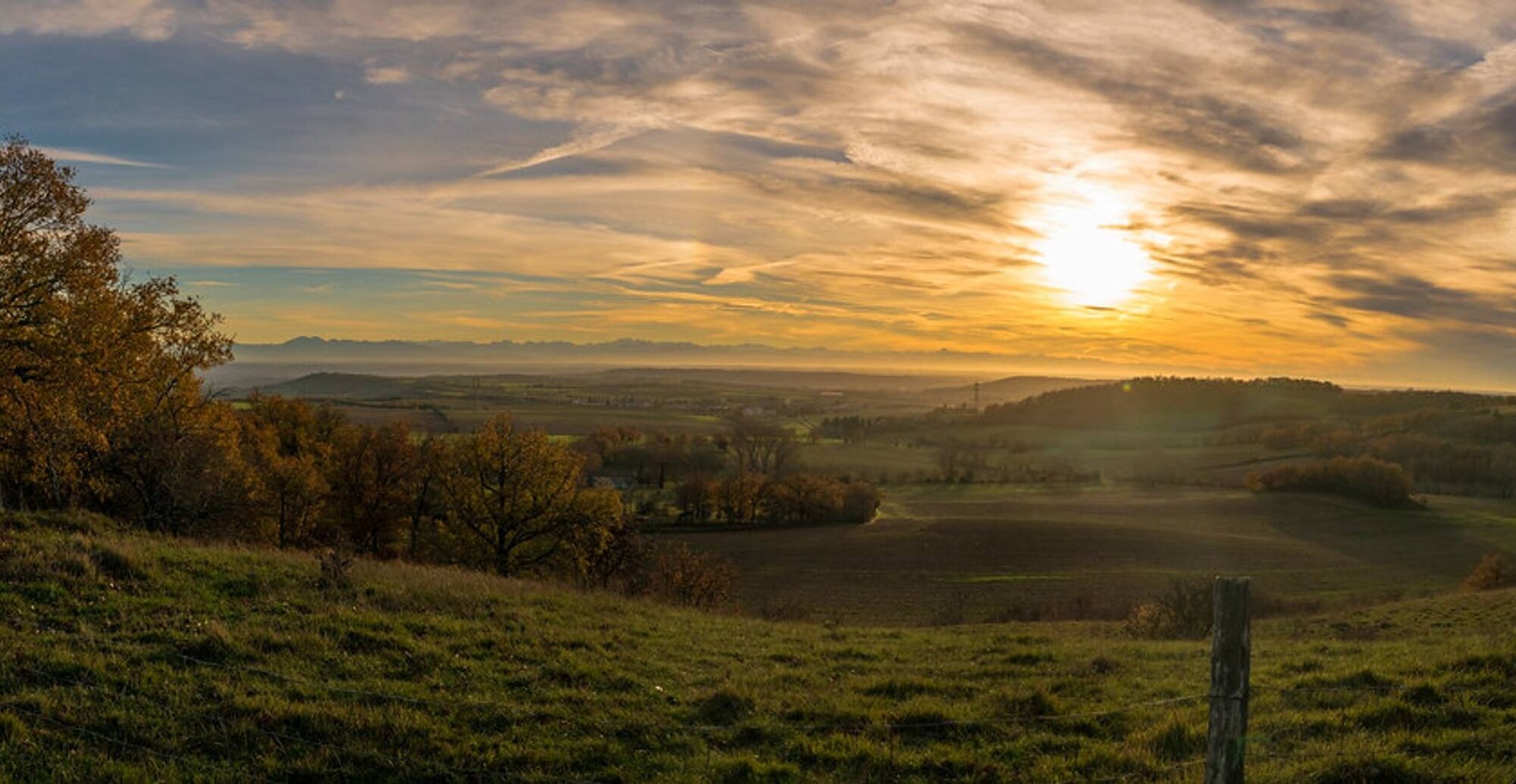
Aguts comes from the Latin "accutis" meaning: summits, pointed, sharp.
A topography nevertheless all in roundness whose hillsides...
Aguts comes from the Latin "accutis" meaning: summits, pointed, sharp.
A topography nevertheless all in roundness whose hillsides are regularly swept by the Autan wind, a favorable situation for windmills.
On this Lauragais land dominates mixed farming, formerly fertilized by the columbine from the many dovecotes that covered the region. Land of contrast and richness in the heart of the Pays de Cocagne, cradle of pastel.

1. Follow the Gascou path by road for 1.2 km. Before leaving the village, do not take the grassy path on the right.
2. At the crossroads, turn left onto the shaded green path. A few meters further, continue straight, then follow the same path until you reach the D45.
3. At the end of the path, turn right onto the D45 which you will follow for about 600 meters.
4. Then turn right onto the Tilleuls road until you reach a farm.
5. Turn left onto the Garrigue path which you follow for 1 km until you reach the D45 road.
6. Turn right twice to head towards the village square and return to the starting point.
Very easy
Obľúbené výlety v okolí
-
Woad Path
svetloTuristika 6,84 km -
La voie romaine
ťažkéTuristika 28,5 km -
Le sentier de Saint-Sébastien
strednáTuristika 12,3 km -
Boucle de la Ricaudié
strednáTuristika 14,8 km -
Boucle de Bertre
strednáTuristika 17,7 km -
Boucle des Pyrénées
svetloTuristika 6,83 km -
Boucle de Cuq-Château
svetloTuristika 7,31 km -
LA RIGOLE A VELO : LAC SAINT FERREOL - REVEL
strednáMountainbike 4,63 km -
Saint-Ferréol - Revel - Pont de la Mayre - Église Sainte-Sigolène
strednáCestný bicykel 53,7 km -
Auberge du Poids Public - Le Billot de Marius - Église Notre-Dame-des-Grâces de Revel - Église Saint-Jean-Baptiste
strednáCestný bicykel 70,0 km
Turistika a stopovanie


Nenechajte si ujsť ponuky a inšpiráciu na ďalšiu dovolenku
Vaša e-mailová adresa bol pridaný do poštového zoznamu.