


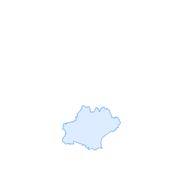

Le circuit boisé de la Capelle
Sessile or pedunculate?
Identifying a tree is not always easy. When it comes to oak, things get complicated. Especially when you get into certain details. Such as those that allow you to distinguish the...
Identifying a tree is not always easy. When it comes to oak, things get complicated. Especially when you get into certain details. Such as those that allow you to distinguish the sessile oak (also called sessile oak) from the pedunculate oak. A real test of knowledge… A fan of damp soils, the pedunculate oak has a very short or even non-existent leaf petiole. The bottom of each leaf forms characteristic angles. Finally, its acorns are carried by a long peduncle. Preferring loose and not very humid soils, the sessile oak has a long leaf petiole. The bottom of the leaf has no angles. As for the acorns, they grow directly on the branch, without any peduncle. In fact, the opposite of each other!


1. Follow the D 84 towards Graulhet. Once you have crossed the level crossing, take the path on the left. Follow the railway line. At the second level crossing, turn right onto the road. At La Cahuzière, cross the D 49.
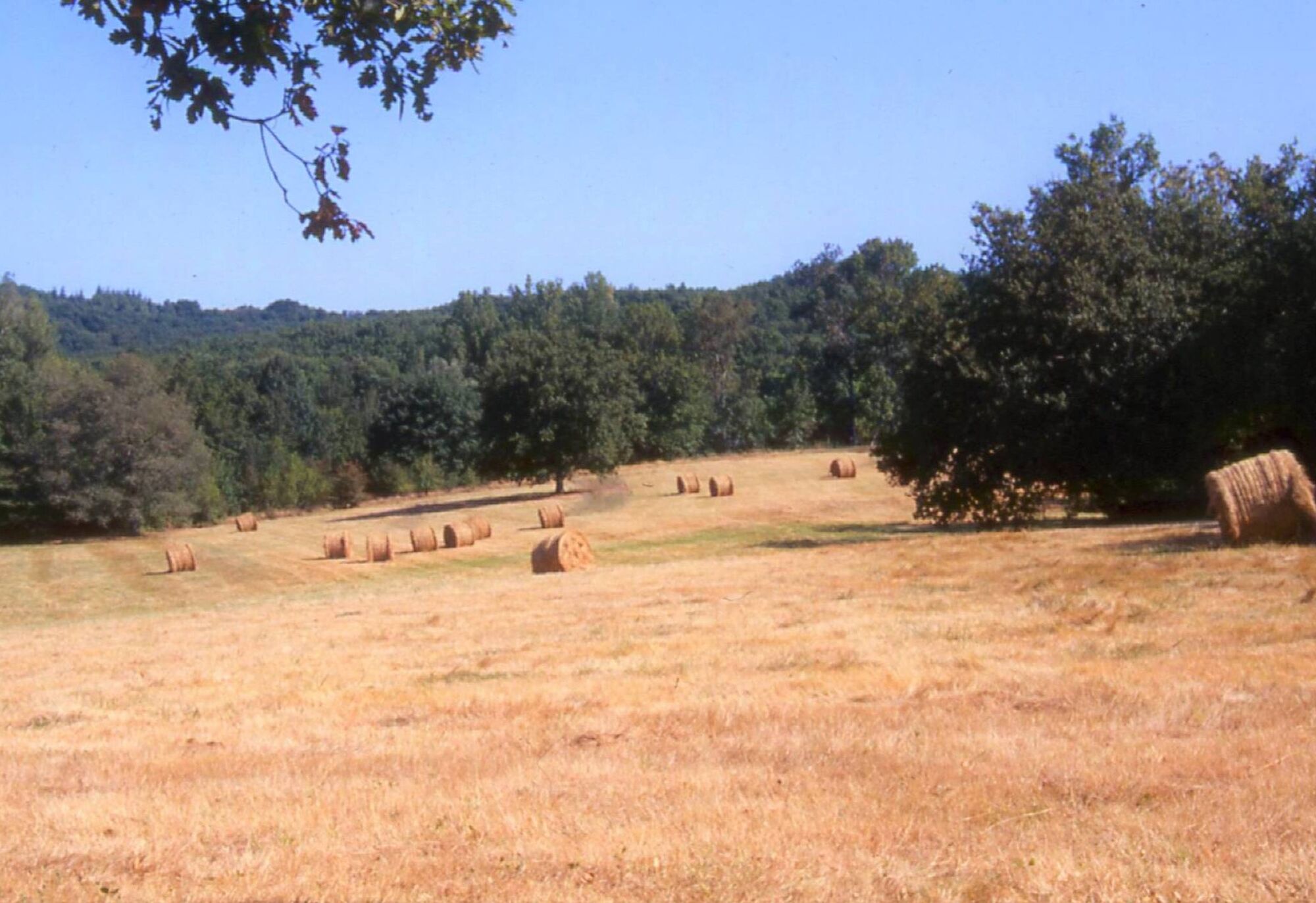
2. In front of En Gontier, take the path on the right. At the first fork 150 m later, go straight on. At the next two forks, turn left. On the road at the bottom of the hill, turn right onto the tarmac, continue straight on and turn left towards La Bouriasse; 30 m before this hamlet, take the path on the left. 200 m further down, turn right. Continue straight on.
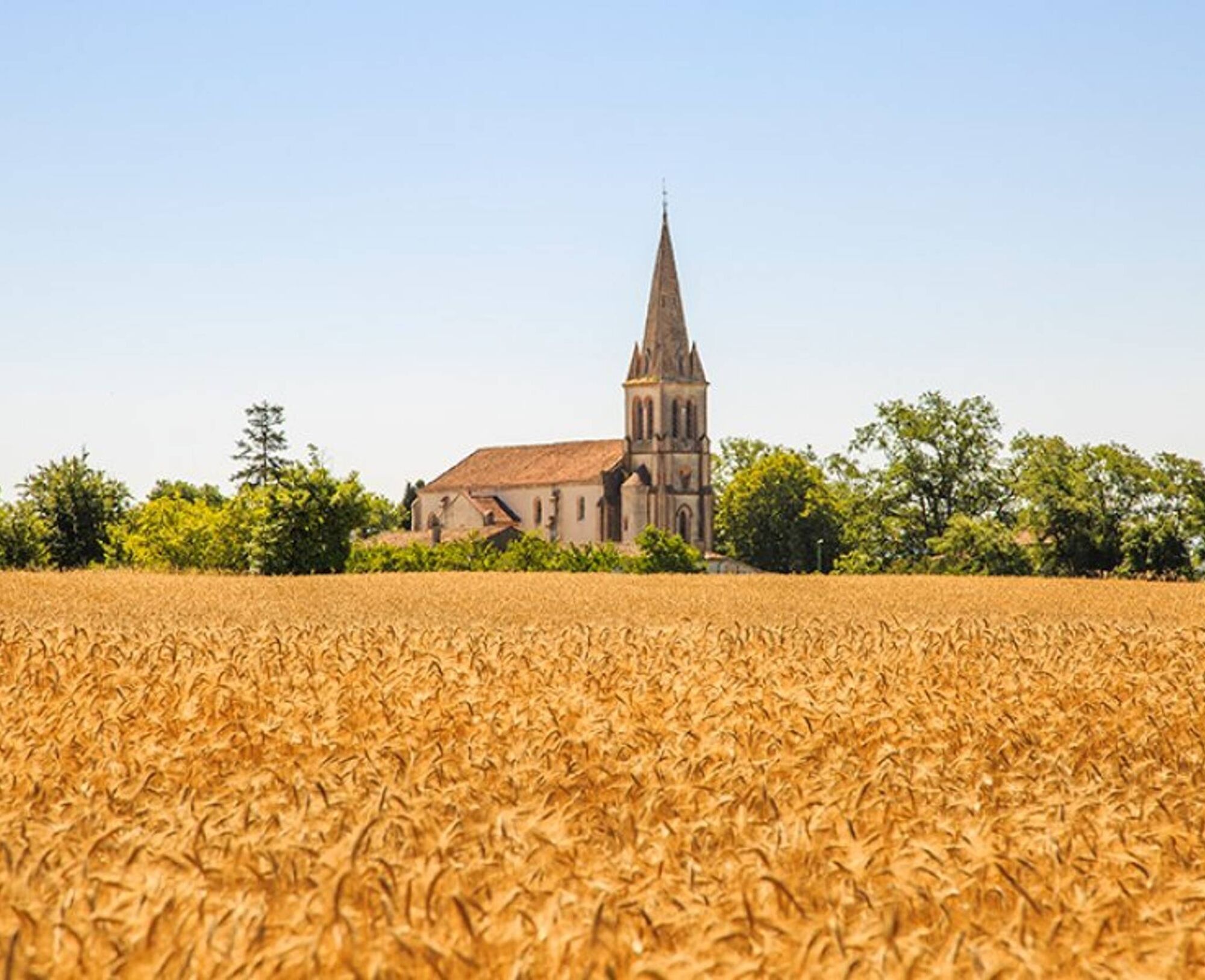
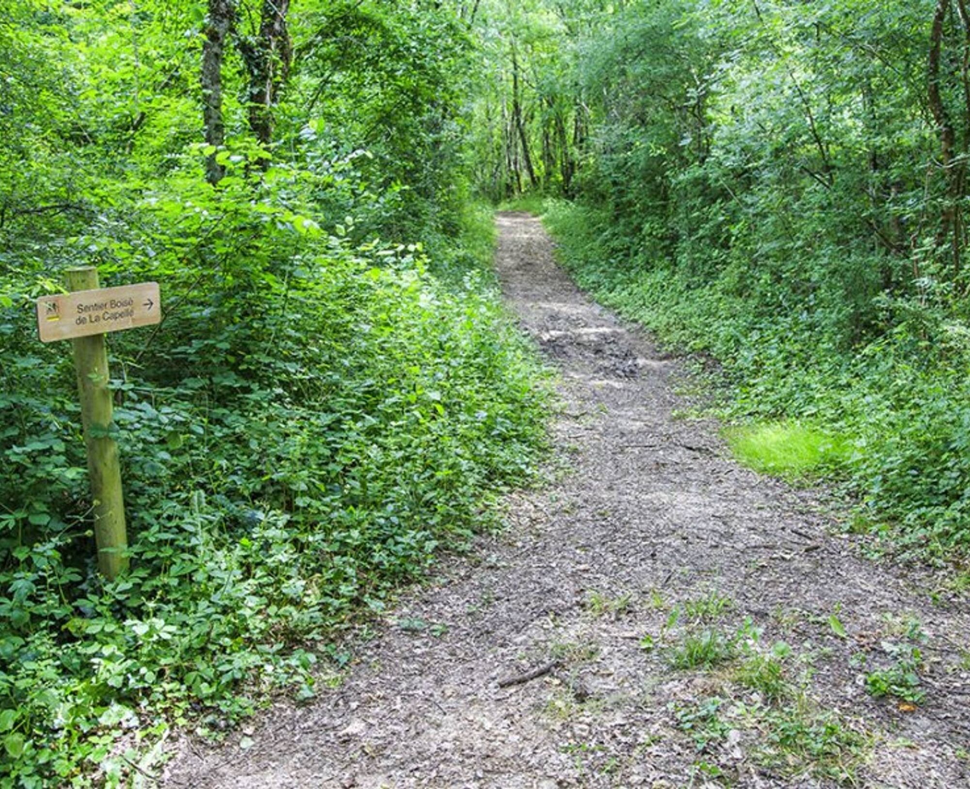
3. Take the ridge road on the right. At the fork, continue straight on the road and pass Bel-Air. At the crossroads with the access road to La Capelle, take the road on the left for 200 m. Enter the woods by the path
4. on the right for a few meters, go down to the right and, further down, follow the track on the right. It opens onto the road, near Brunié.
5. On the road, turn left. Cross the D 84, then En Auriol. At the first fork and the following ones, continue straight ahead. At the road, go right. Turn into the first path on the left towards Le Riou. At the fork after the ruins of Le Riou, go forward and go straight up. Go along En Pendarel.
6. Turn right. Continue straight on the stone track. Cross the small road. On the D 49, turn right. 150 m further, turn left towards La Roussié. At the first fork, choose right. Cross Bauzele and continue on a path. On the D 84, turn left.
Difficult
Obľúbené výlety v okolí
-
Garlic Trail
svetloTuristika 7,07 km -
Woad Path
svetloTuristika 6,84 km -
5,0
Sentier des crêtes
strednáTuristika 11,3 km -
Sentier des coteaux
svetloTuristika 10,0 km -
Le circuit du pas du Loup
svetloTuristika 9,89 km -
La voie romaine
ťažkéTuristika 28,5 km -
Ridge Loop
svetloTuristika 5,69 km -
5,0
Three Lakes Trail - Sentier des trois lacs
svetloTuristika 8,22 km -
Sentier urbain de Lavaur
svetloTuristika 2,58 km -
Le circuit des Devèzes
svetloTuristika 9,99 km

Turistika a stopovanie


Nenechajte si ujsť ponuky a inšpiráciu na ďalšiu dovolenku
Vaša e-mailová adresa bol pridaný do poštového zoznamu.