


Le circuit des plateaux
Download the pdf sheet of the trail
The joy of living in Pays de Cocagne is not a legend but a beautiful story. This circuit discovers a rich flora, wooded areas made up of various species and a rural habitat...
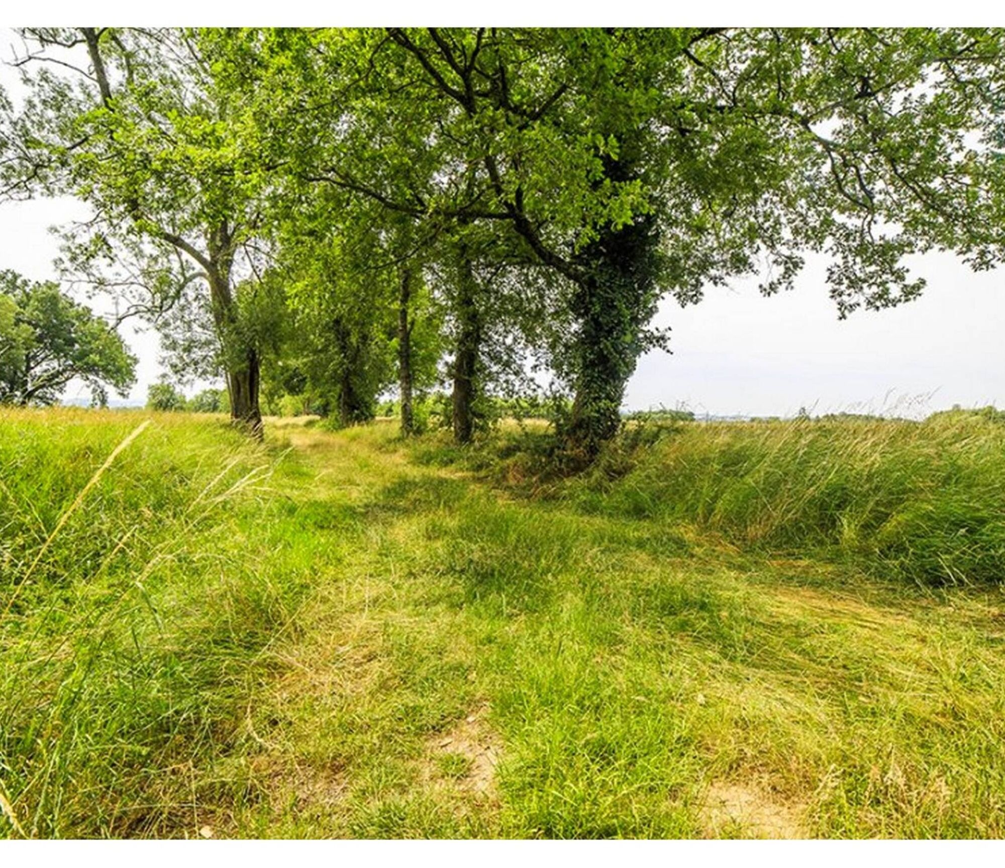
The joy of living in Pays de Cocagne is not a legend but a beautiful story. This circuit discovers a rich flora, wooded areas made up of various species and a rural habitat with typical architecture. The nature of the soil composed of limestone and clay (soils called terreforts and even "vineyard lands") is not very suitable for cereal farming. Livestock farming dominates the agricultural activity in this territory. The traditional agricultural landscape has changed little over the years. From valley to valley, superb viewpoints of the Montagne Noire, the Pyrenees and the Agout valley punctuate this walk. The whole gives a particular landscape with a touch of Mediterranean flora. Painters from all over Europe come to set up their easels here. On arrival, a break at the St Charles ponds with picnic areas offers peace and rest and a "health trail" for the more dynamic.

1. When you reach the level crossing, turn right to start your hike. While following this railway line, you arrive at the D 49 which you cross to take the path across the field and reach a wooded area. Jump over the stream. A few meters later, turn right onto the road and take the first path on the left, filled with red bricks.
2. After 500 m, turn right to the hamlet of Séverac which you cross to take the road on the left for 500 m. Take the first path on the left towards the "Corbière" equestrian center.
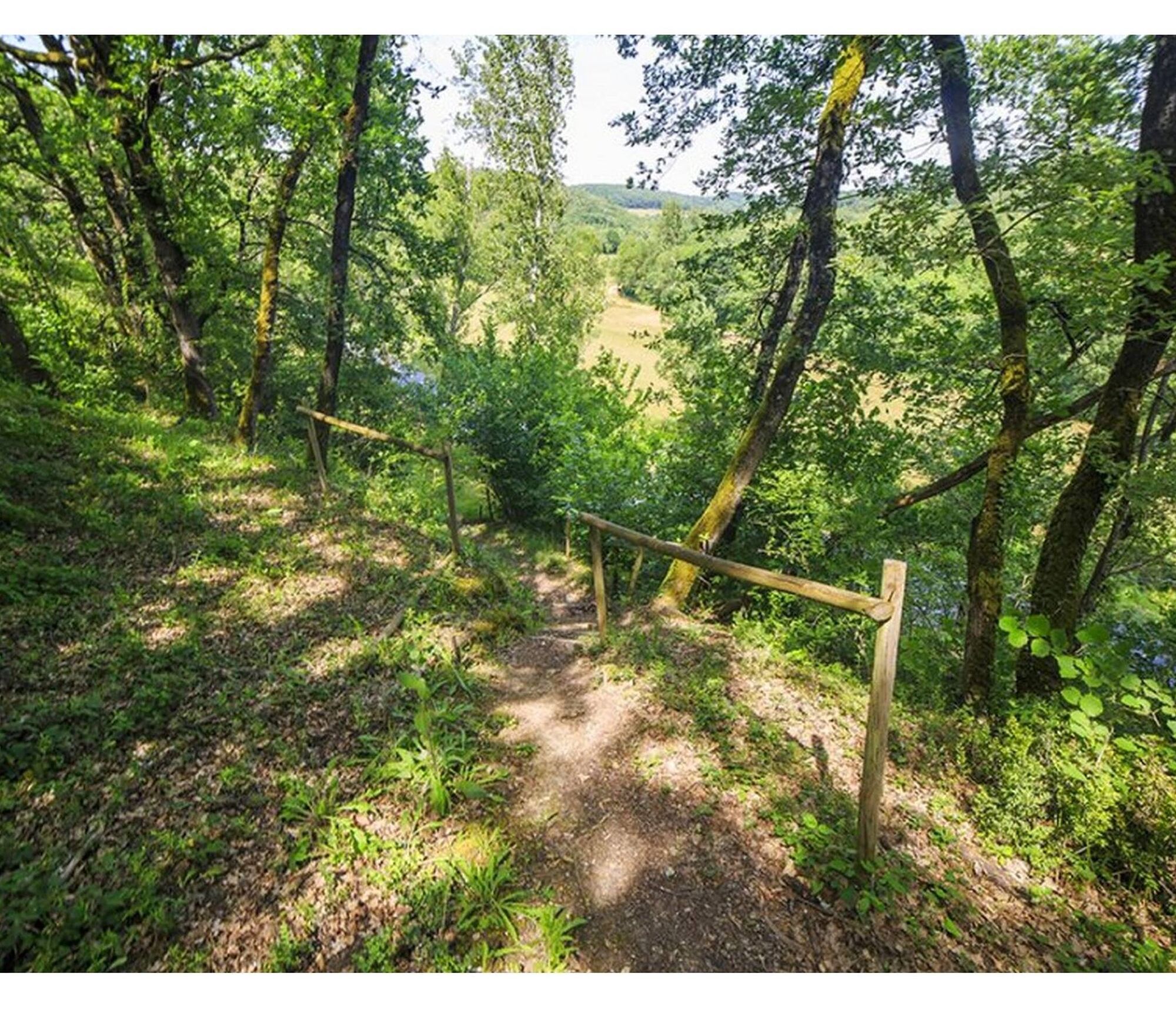
3. You leave it on your left to enter the woods by a wide path which takes you to discover the eventing course. After 200 m, turn right then for 1 km, alternating fields and woods to reach a tarmac road that you cross and on your left, take the few steps to climb the wooded embankment and after a few meters you go back down to a rest area. Go back up the road to an intersection and a very beautiful viewpoint.
4. Turn right on a shaded path. Pass near the gîte of "La Bouriasse" that you see on your left and then go back up on your right as soon as you reach a tarmac section. At the top, turn right and go down towards "l'Infernou" and turn left just after. Go 200 m in the woods then turn right to go down to the hamlet of "En Gontier".
5. At the place called "En Gontier", turn left to go along meadows and after 1.5 km you arrive at a communal road. Take a right and then very quickly leave it to turn right again. Cross a very small hamlet "Le Bourias".
6. After the last house, take the path on your left to return to a wooded area which ends at a tarmac road. Take a left for a "small climb" and take the path opposite which goes down to the D 49 which you cross. You arrive at the "Plan d'Eau St Charles" campsite. You keep to the communal road which runs alongside the campsite and you are back at the starting point.
Easy
Obľúbené výlety v okolí
-
Garlic Trail
svetloTuristika 7,07 km -
Woad Path
svetloTuristika 6,84 km -
5,0
Sentier des crêtes
strednáTuristika 11,3 km -
Sentier des coteaux
svetloTuristika 10,0 km -
Le circuit du pas du Loup
svetloTuristika 9,89 km -
La voie romaine
ťažkéTuristika 28,5 km -
Ridge Loop
svetloTuristika 5,69 km -
5,0
Three Lakes Trail - Sentier des trois lacs
svetloTuristika 8,22 km -
Sentier urbain de Lavaur
svetloTuristika 2,58 km -
Le circuit des Devèzes
svetloTuristika 9,99 km

Turistika a stopovanie


Nenechajte si ujsť ponuky a inšpiráciu na ďalšiu dovolenku
Vaša e-mailová adresa bol pridaný do poštového zoznamu.