



Oenorando® Sentier de la Sigillée

Viticulture and pottery.
This trail around Montans allows you to walk through the vineyards on the left bank of the Tarn, to admire its meandering course, to visit the village and to discover the history...
This trail around Montans allows you to walk through the vineyards on the left bank of the Tarn, to admire its meandering course, to visit the village and to discover the history of the site by visiting the Archaeological Museum in the heart of the village, which offers an interesting discovery of archaeological treasures through its collections and life-size reconstructions.

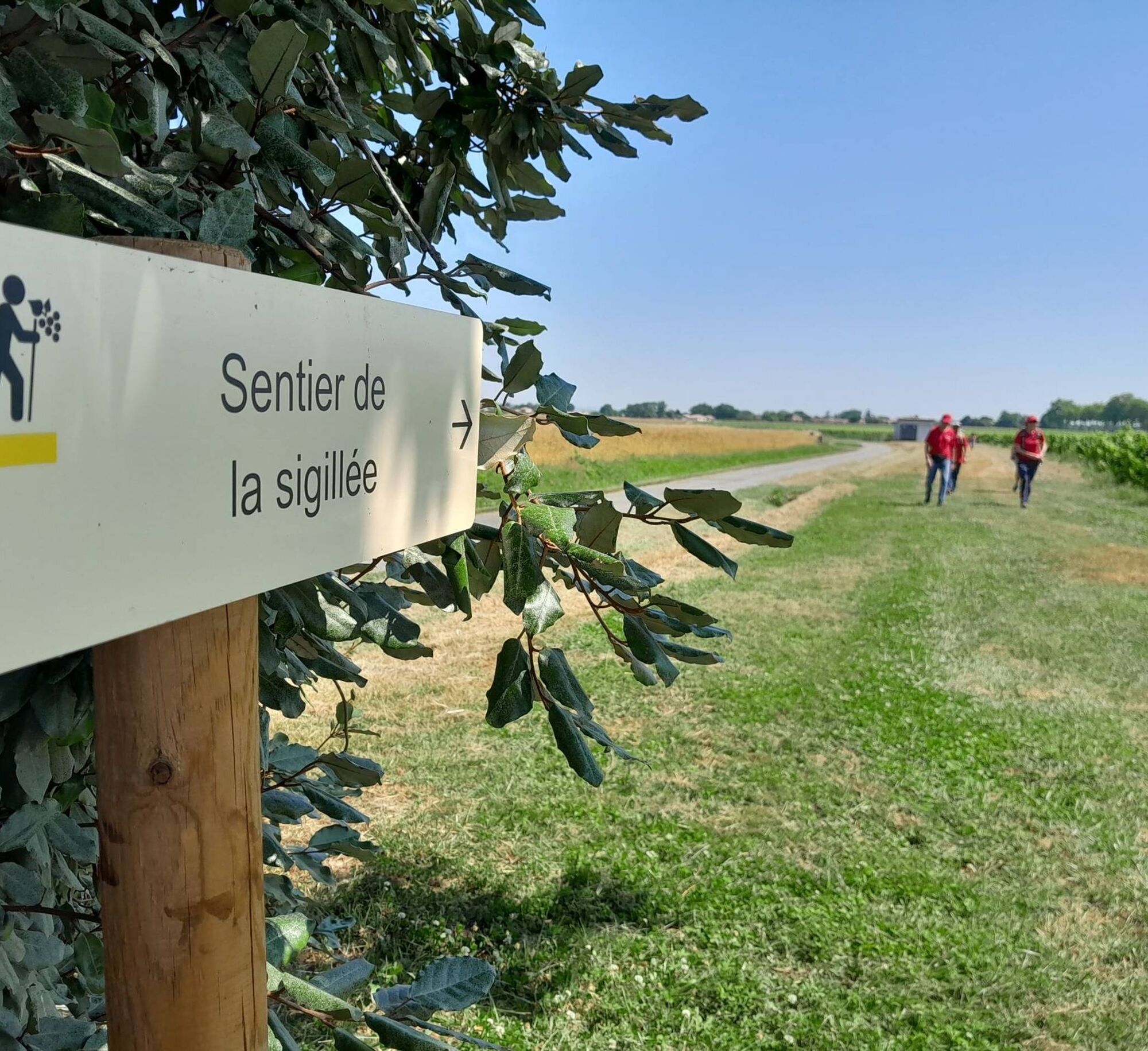
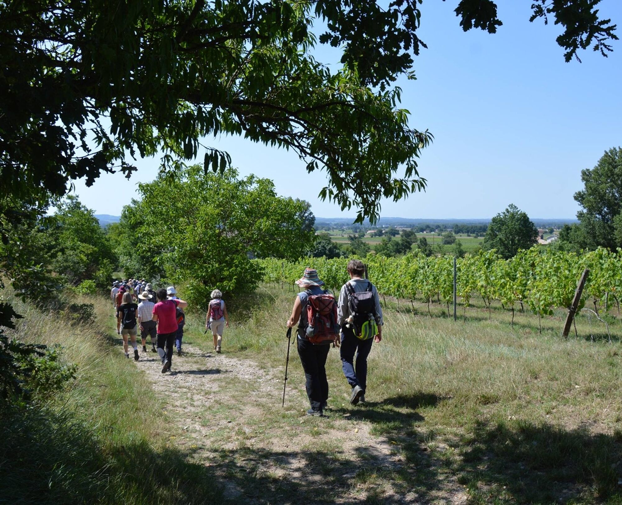


1. Leaving the car park behind the reception, walk alongside the vines parallel to the road until you reach the first houses, then continue along the street to the large square in Montans.
2. Cross the square. When you reach the Archeosite roundabout, turn left into the public garden. Take the exit diagonally opposite, which leads to a small square in the old village with a viewpoint over the Tarn. Turn right into Rue du Belvédère until you reach the shaded market square. Turn left into Rue des Jardins. Turn right into Rue de l'Église and cross the main road. Take the pavement on the right and you will reach the Archaeological Site.
3. Turn left into rue de l'Archéosite (route de Cadalen) and continue to the Domaine de La Croix des Marchands, which you cross to reach the junction with chemin de la vigne.
4. Turn left and go up the alley to the restaurant. Before reaching the restaurant, go around the estate on the right and continue along the path that winds through the vines and leads to the D87, opposite the Carcenac estate. Cross carefully, turn right and walk parallel to the road for 150m, then turn left along the vineyard. At the pumping station, turn left and return to the starting point.
>>>> RECOMMANDATIONS
At the end of the park, the exit to go up to the lookout point has not yet been completed. Return to the road and go to the square, the esplanade and the lookout point on Rue du Belvédère.
Obľúbené výlety v okolí
-
Bike Route - C3 From Sainte Cécile to the Gaillac vineyard
svetloCestný bicykel 38,6 km -
5,0
Sentier des crêtes
strednáTuristika 11,3 km -
Oenorando® La ronde des vignerons
svetloTuristika 7,84 km -
Potters' Loop
svetloTuristika 6,38 km -
Mountain Biking Trail: Grande Boucle Bastides and Vineyards of Gaillac
ťažkéMountainbike 144,4 km -
Conques Toulouse route - From Saint-Martin-Laguépie to Saint-Sulpice-la-Pointe
ťažkéTuristika 83,7 km -
Vignoble et châteaux
ťažkéTuristika 17,4 km -
Tour du Tarn on horseback: Lisle-sur-Tarn / Puycelsi
ťažkéJazda na koni 28,4 km -
Suivez le coq - Follow the rooster
svetloTuristika 4,89 km -
Sentier des quatre châteaux
strednáTuristika 14,0 km
Turistika a stopovanie


Nenechajte si ujsť ponuky a inšpiráciu na ďalšiu dovolenku
Vaša e-mailová adresa bol pridaný do poštového zoznamu.


