



Les hauts de Roussoulp trail

From the village of St Baudille, this hike will take you from hamlets to hamlets. You will cross the two main streams of the town, the Doul and Issales. After the hamlet of Bruguet, discover the forest,...
From the village of St Baudille, this hike will take you from hamlets to hamlets. You will cross the two main streams of the town, the Doul and Issales. After the hamlet of Bruguet, discover the forest, first beech (high place of Protestantism) then the height of the fir trees. Discover, weather permitting, the view of the Black Mountain and the charming hamlets of Pomarède and Audibert. You will hear the waterfall of the Moulin de Castagné and the green landscapes, you will cross the stream of Doul before the hamlet of Nespoulié.

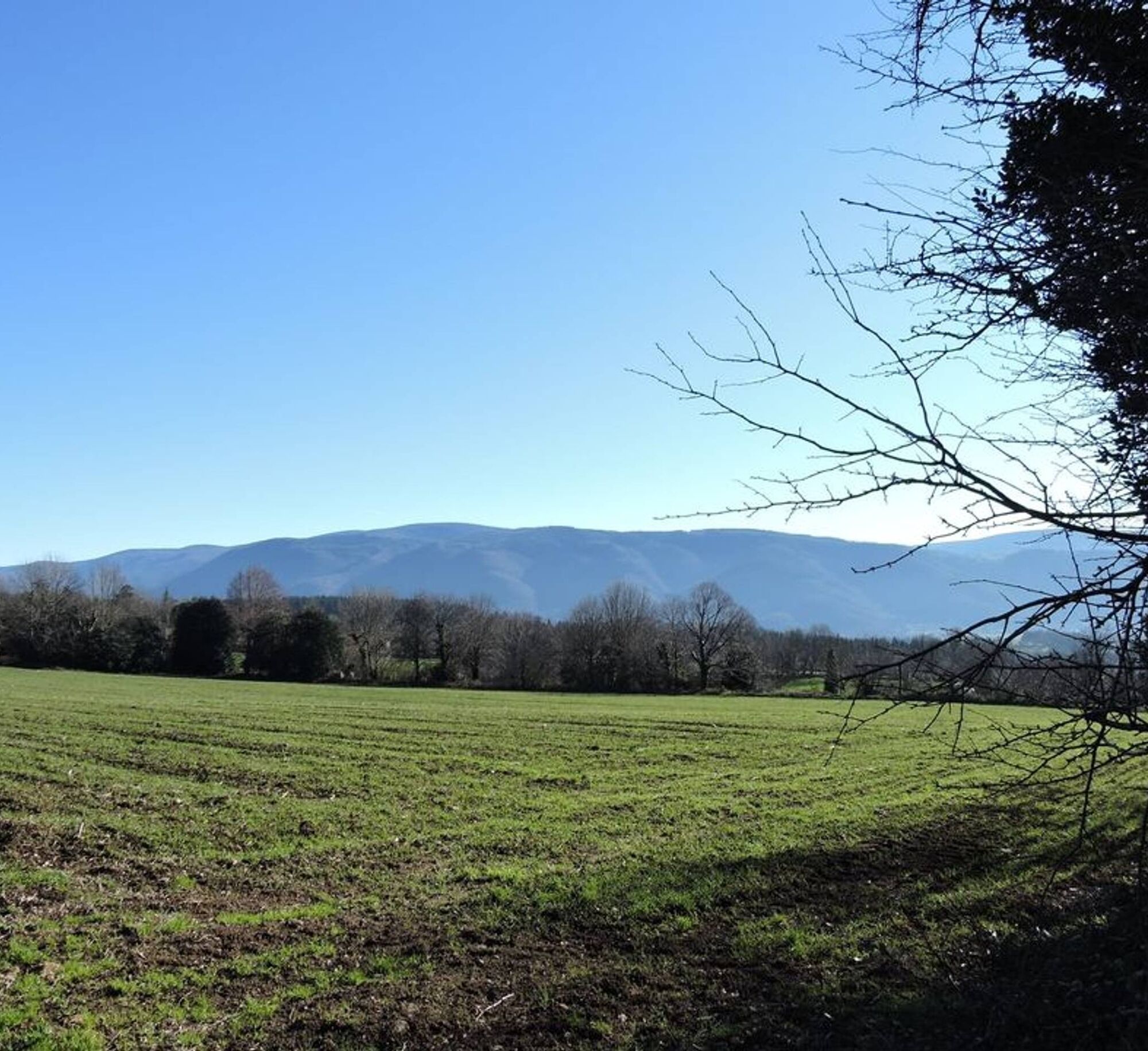
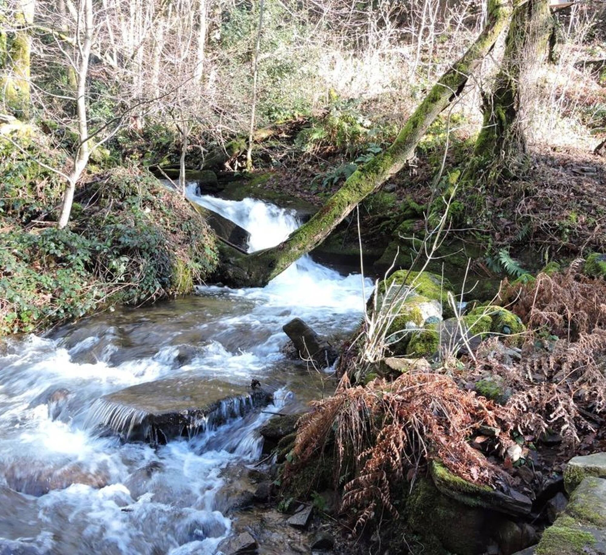
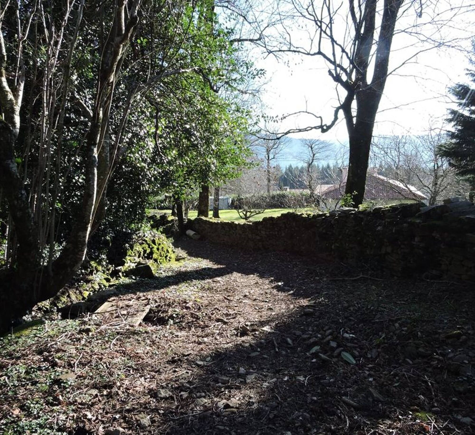

1. Arrived at the bridge that crosses the stream of Issales either: Take the shorter variant immediately to the right and go up Or continue left through the hamlet of Bruget, right cross an old farm and climb in the woods (Bois de la Tourette). Take the road at Rec del Buc (view of the Black Mountain and the wind turbines of Sauveterre-Albine) continue on the road towards the hamlet of Pomarède. 2. Arrived at the hamlet take direction Audibert on the right. At the D109 take left on (700 m). Take direction Castagné (300m). You will cross the hike of the Hauts de la Mole. 3. At the Castagné mill (waterfall, water noise), direction la Mole, take rue Georges Vedel to the road go straight. 4. At the junction of the three hikes turn right, skip the Douls stream and continue along the meadows (exceptional view of Mazamet). 5. At Nespoulié turn right and leave the road on the left hand side and take the small path in the middle of the boxwood. Jump the road and cross the forest (softwood and old ponds) of Mas del Pech towards St Baudille, at the level of the first houses and the school, go straight to find the place of St Baudille.
>>>> RECOMMANDATIONS
Hiking is also providing suitable equipment (shoes, clothes, water...) and respect the environment of the trail
Obľúbené výlety v okolí
-
La Ronda del Peiraire walk
svetloTuristika 15,0 km -
Loop of the Malous forests
strednáTuristika 12,9 km -
Hiking: The Wibault route
ťažkéTuristika 9,26 km -
GR7® Montagne Noire
ťažkéTuristika 73,5 km -
Mountain Bike Route No. 3 – Lacrouzette Area
ťažkéMountainbike 28,1 km -
Mountain Bike Trail No. 2 - Lacrouzette Area
ťažkéMountainbike 21,8 km -
Randonnée VTT Le Lac par l'Orée du Bois
ťažkéMountainbike 26,9 km -
Hike through the Chaos de la Balme
svetloTuristika 6,16 km -
The Chaos de la Rouquette Trail
svetloTuristika 3,65 km -
Le Salas Walk
svetloTuristika 5,53 km
Turistika a stopovanie


Nenechajte si ujsť ponuky a inšpiráciu na ďalšiu dovolenku
Vaša e-mailová adresa bol pridaný do poštového zoznamu.


