





St Olav Ostrobothnia (N) 2/11, Larsmo-Jakobstad
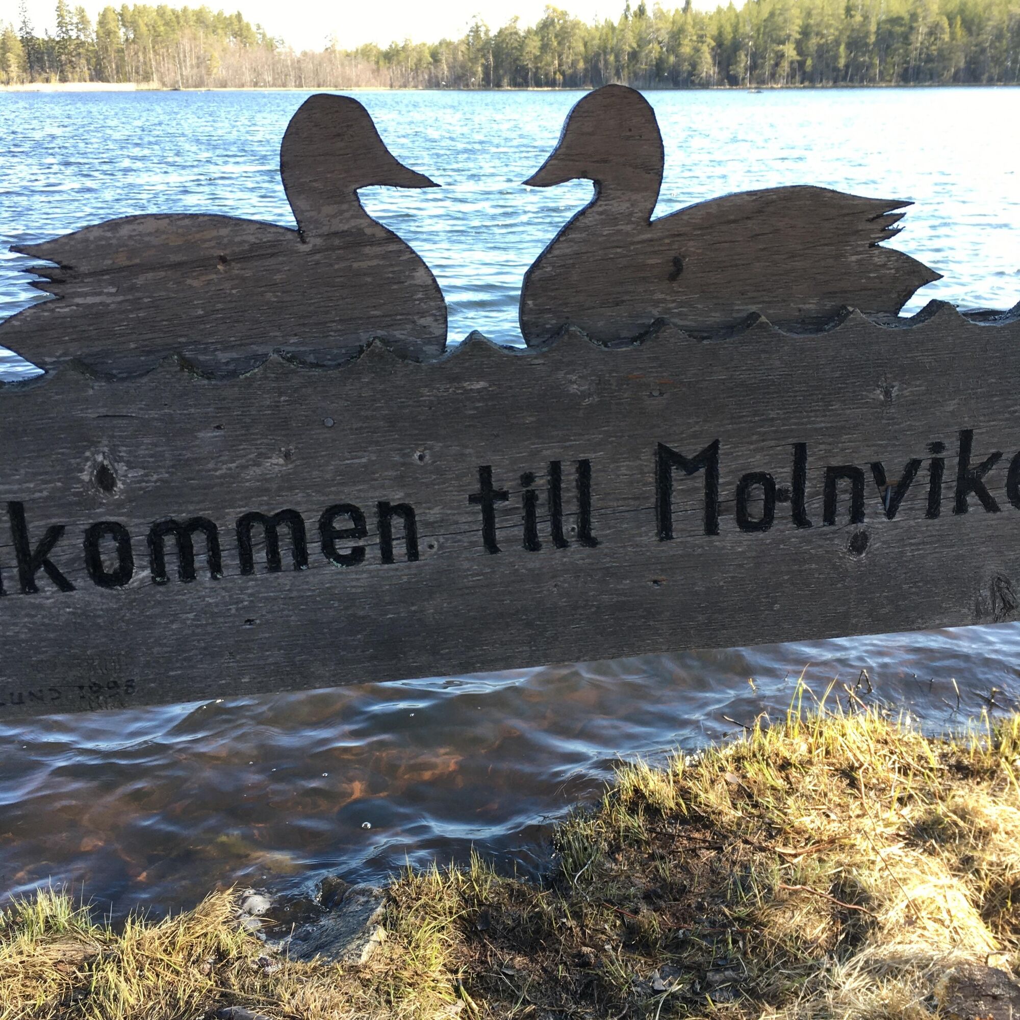
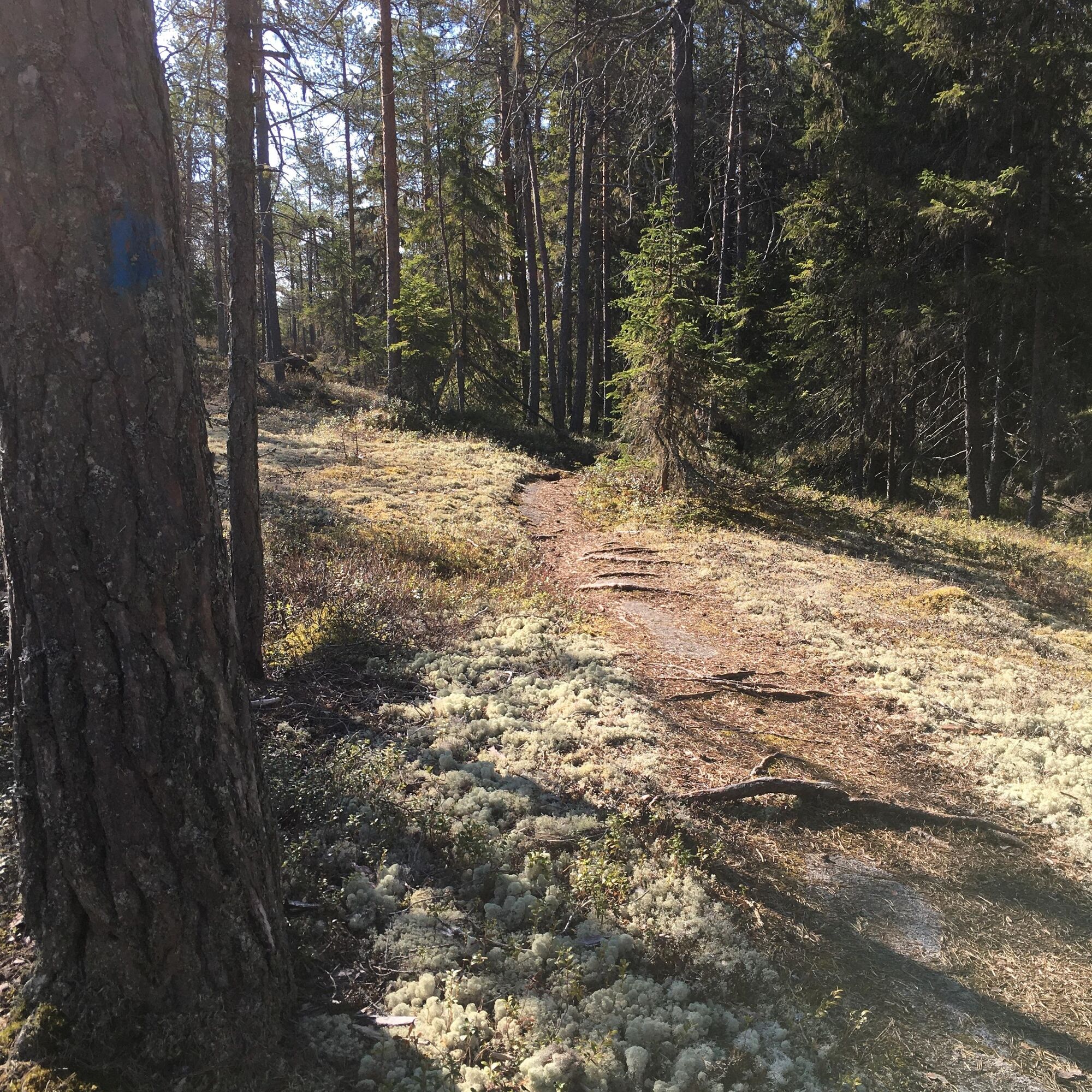
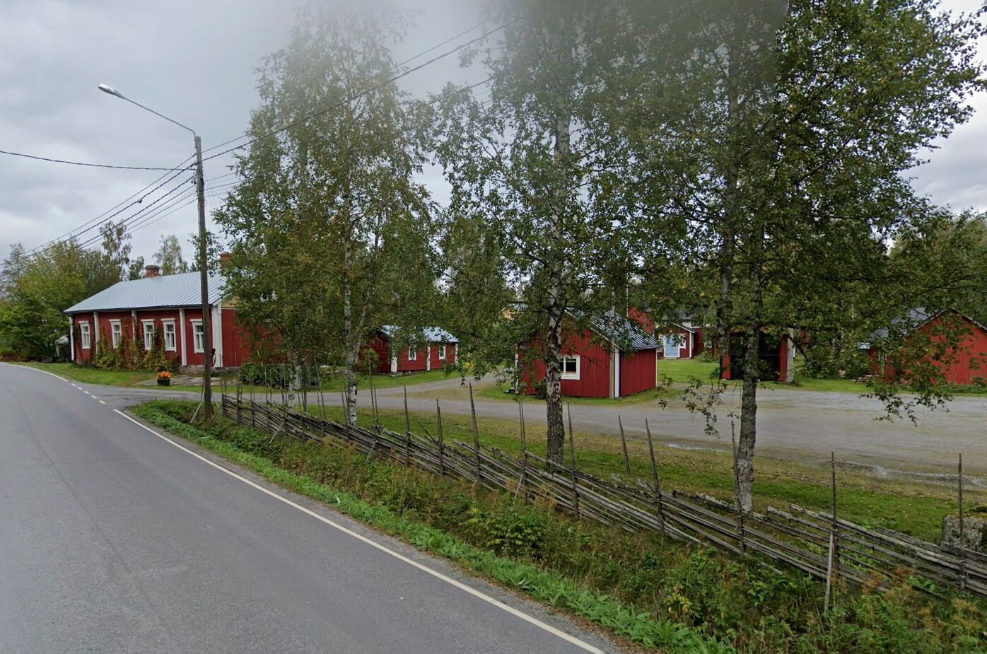
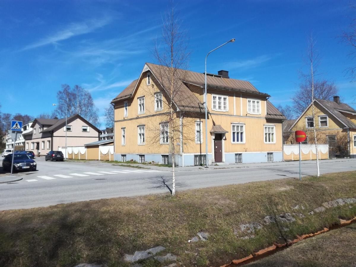
The stage consists of a cycle path, a hiking trail in the forest, a gravel road, an asphalt road and urban streets. Start at the Inremissionshemmet in Eugmo. After a bit along Norra Larsmovägen, the trail...
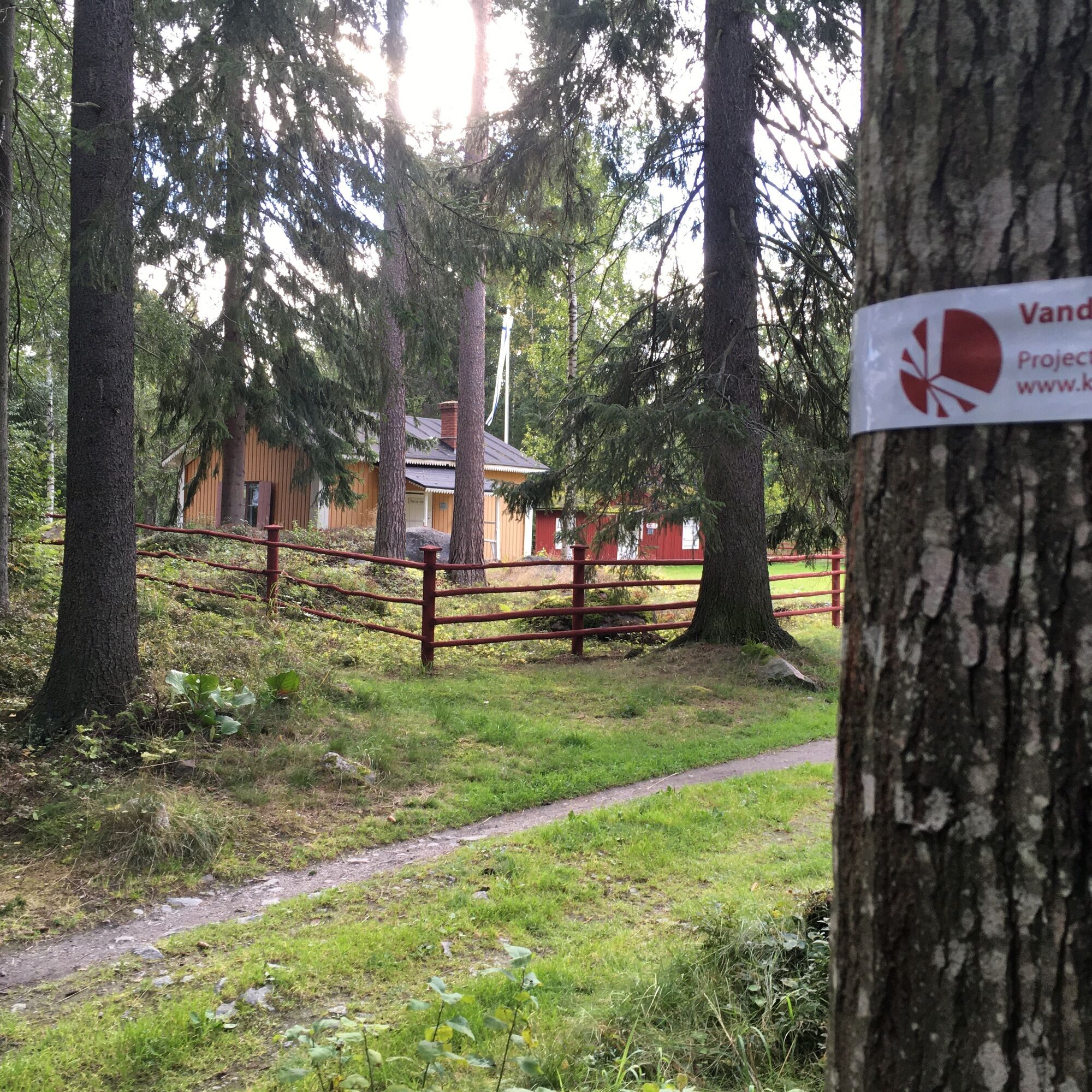
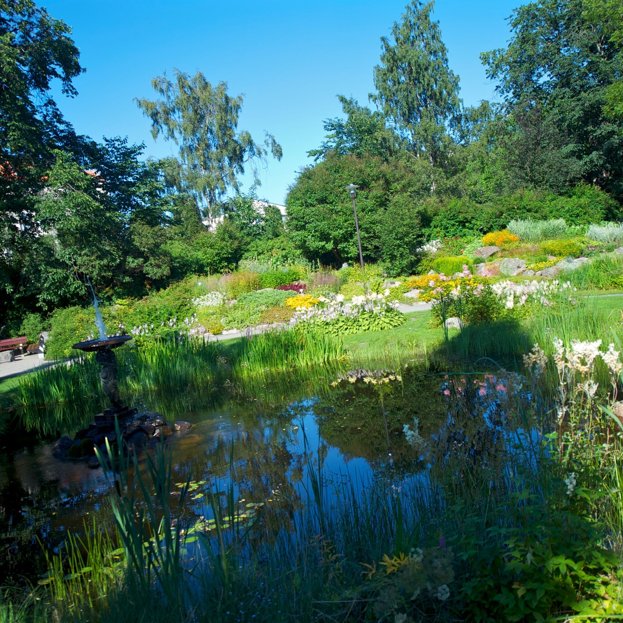
The last part goes over the islets and lock bridges towards Jakobstad, via the Svanen camping area and Runeberg's cottage (Johan Ludvig Runeberg, Finland's national bard).
In Pietarsaari, there are various options for accommodation and food services.
INFO LARSMO
Lunch restaurant Manna: tel. 044 2412 134
Grocery store S-Market: tel. 020 780 4210
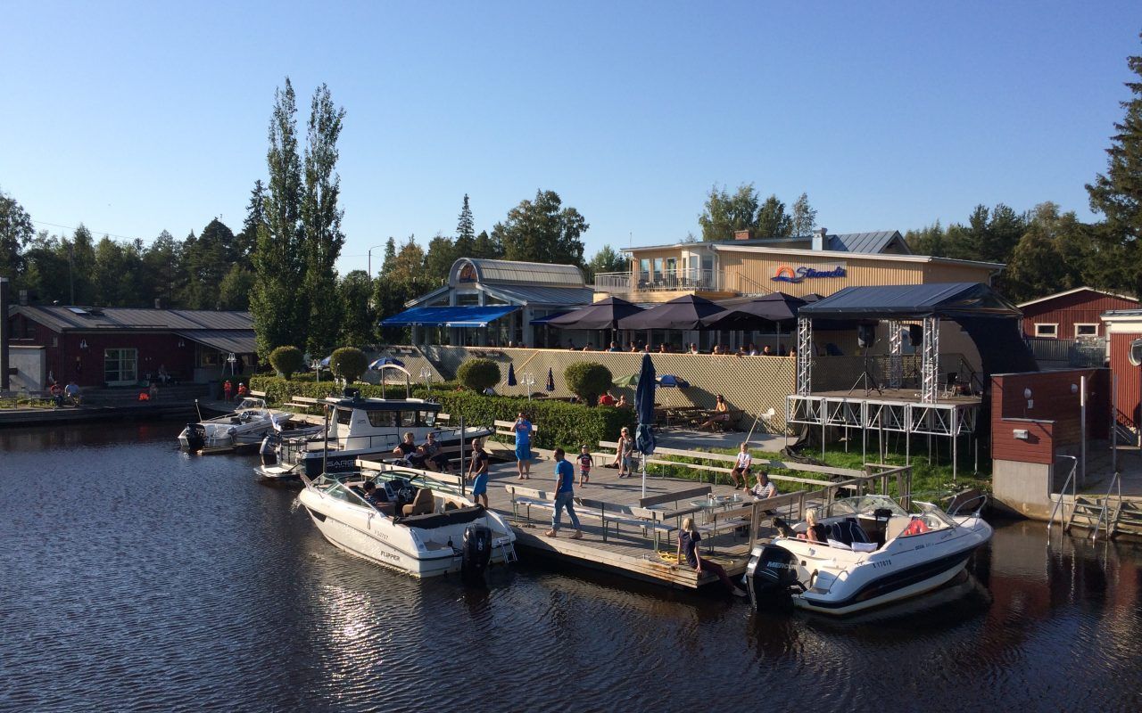
Strandis: tel. 06 788 8900
Westerlunds Inn (accommodation)
Stadshotellet Guesthouse (accommodation)


Obľúbené výlety v okolí
-
St Olav Ostrobothnia (N) 1/11, Kokkola-Luoto
strednáPútnická trasa 25,5 km -
St Olav Ostrobothnia (N) 3/11, Jakobstad-Pörkenäs
ťažkéPútnická trasa 22,0 km -
Öja - Åkö
strednáTuristika 12,2 km -
Jakobstad
svetloBeh 1,50 km -
Lohtaja - Kaarlelan kirkko - Holm bönehus - Kokkola
Tematická trasa 122,9 km -
Jakobstad
svetloTuristika 1,17 km -
Pedersöre - Bredarholm
strednáTuristika 5,93 km -
Larsmo - Fagernäs
strednáTuristika 12,0 km -
Sonamo - Köpmanholmen
strednáKajak / Kanu 18,9 km -
Kokkola - Haukioja - Tallbacka - Öja
svetloCyklistika 36,8 km

Turistika a stopovanie


Nenechajte si ujsť ponuky a inšpiráciu na ďalšiu dovolenku
Vaša e-mailová adresa bol pridaný do poštového zoznamu.





