


Walenstadt Trail 451
Fotografie našich používateľov
-

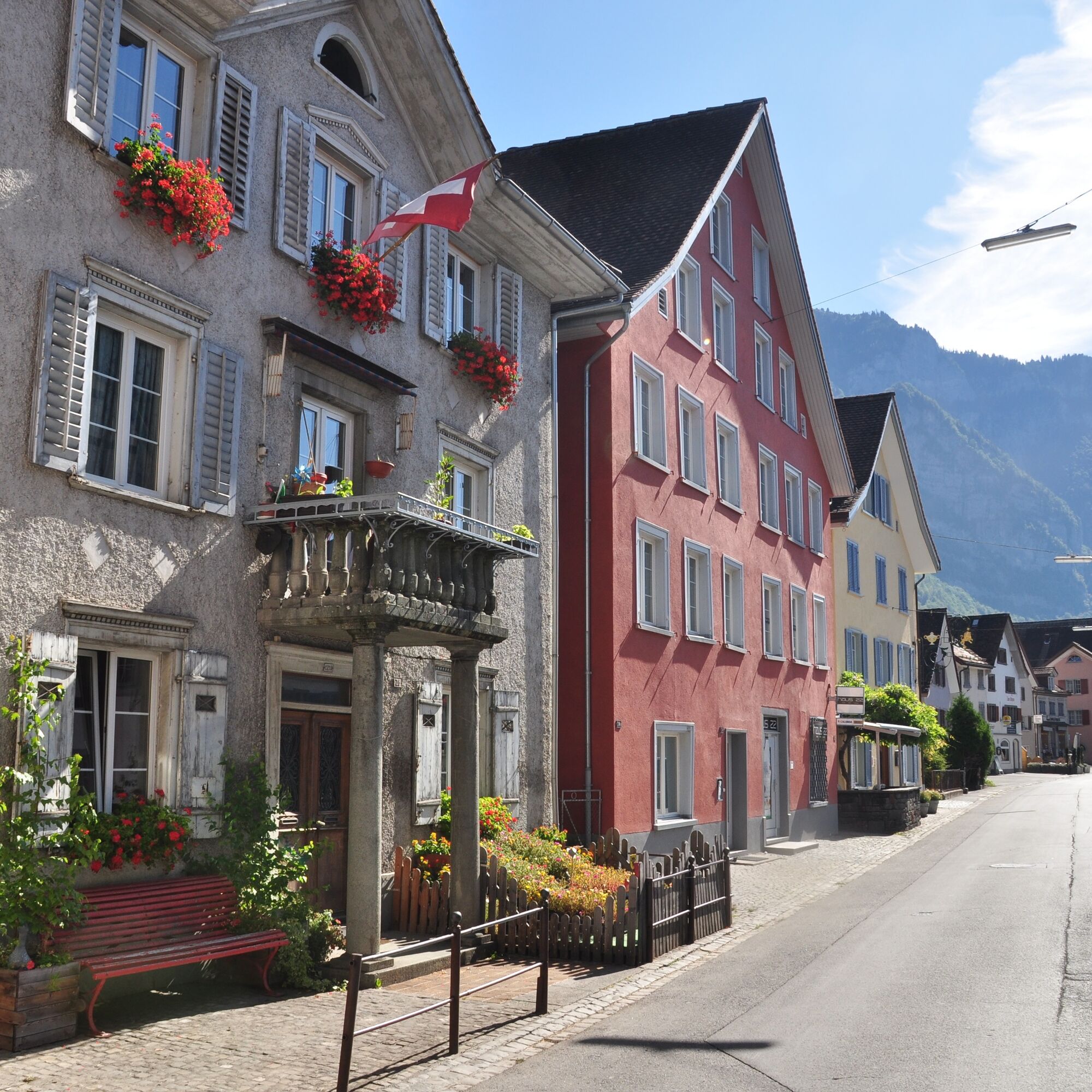
 © Astrid HewittVytvorené dňa 01.04.2026
 -
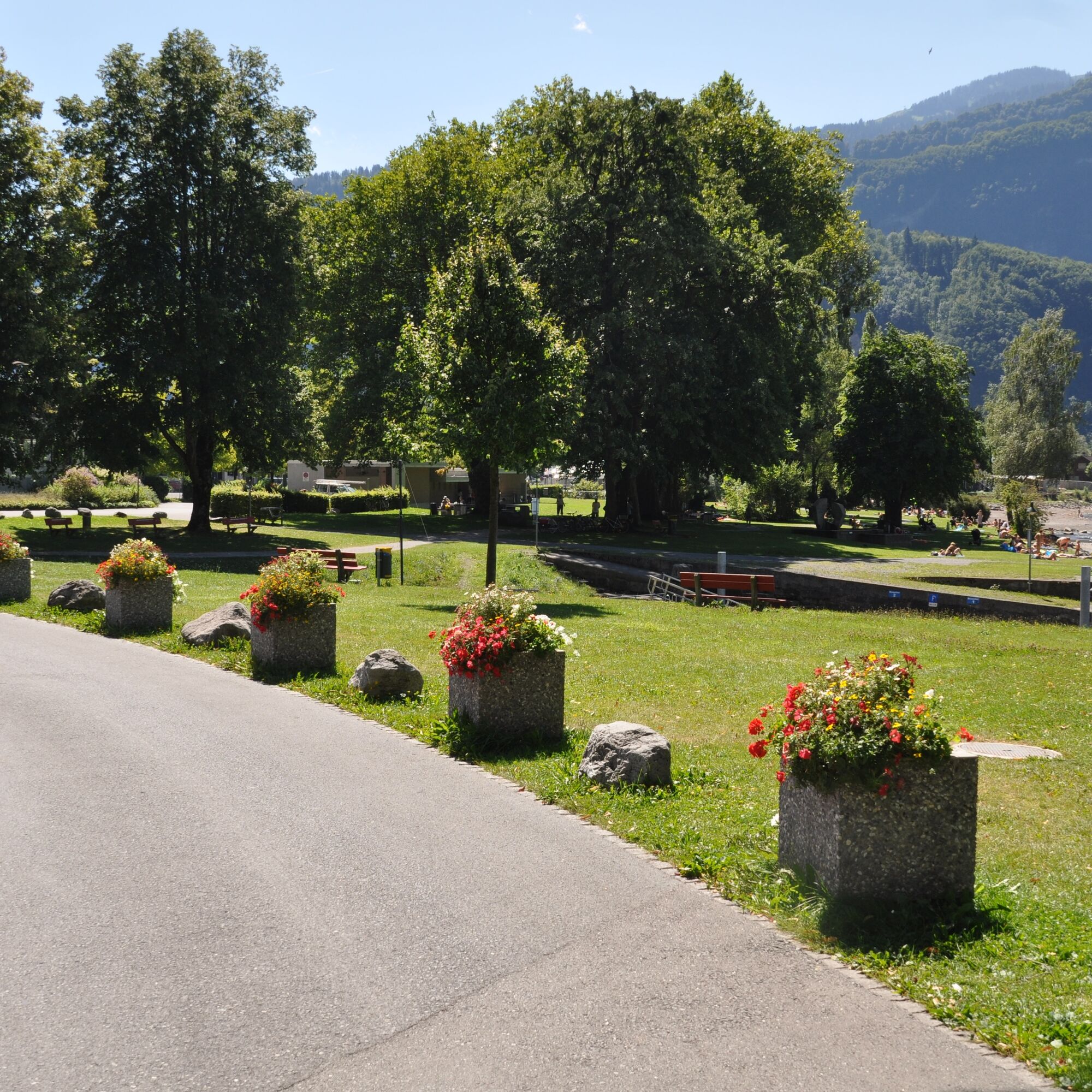
 © Dennis StengelVytvorené dňa 26.12.2025
 -

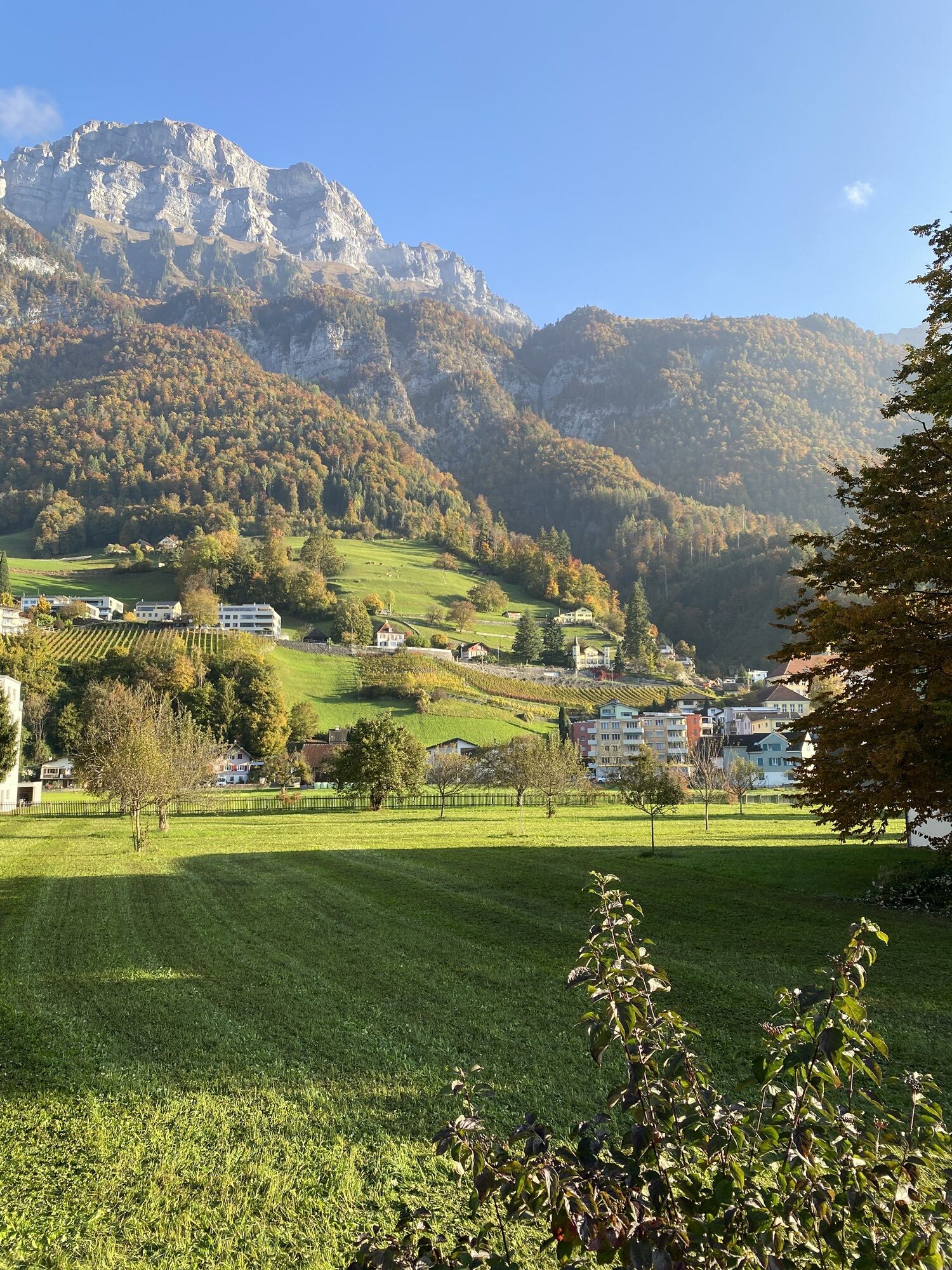
 © David AmreinVytvorené dňa 18.10.2025
 -
 © David AmreinVytvorené dňa 18.10.2025
 -
 © David AmreinVytvorené dňa 18.10.2025
 -
 © David AmreinVytvorené dňa 18.10.2025
 -
 © David AmreinVytvorené dňa 18.10.2025
 -
 © David AmreinVytvorené dňa 18.10.2025
 -

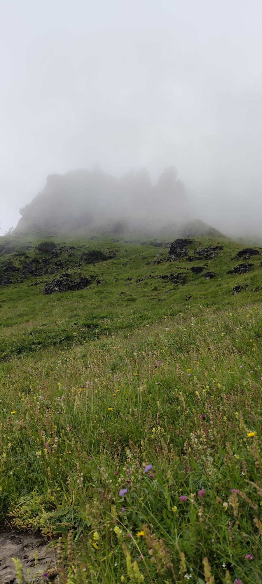
 © Joe TäschlerVytvorené dňa 23.07.2025


The Outdoor Fitness Trails in the Heidiland holiday region include over 30 uniformly signposted running routes starting from a total of 10 stations, forming one of the largest outdoor fitness parks in...
The Outdoor Fitness Trails in the Heidiland holiday region include over 30 uniformly signposted running routes starting from a total of 10 stations, forming one of the largest outdoor fitness parks in the Alpine region. The Walenstadt Trail is one of four running routes around the Walenstadt station.
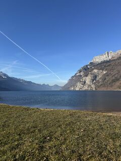
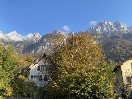
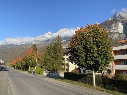
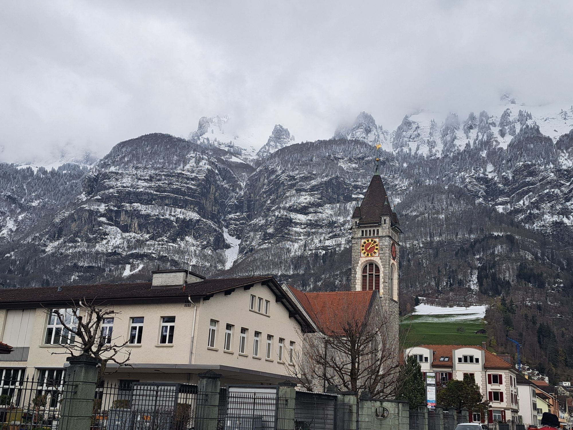
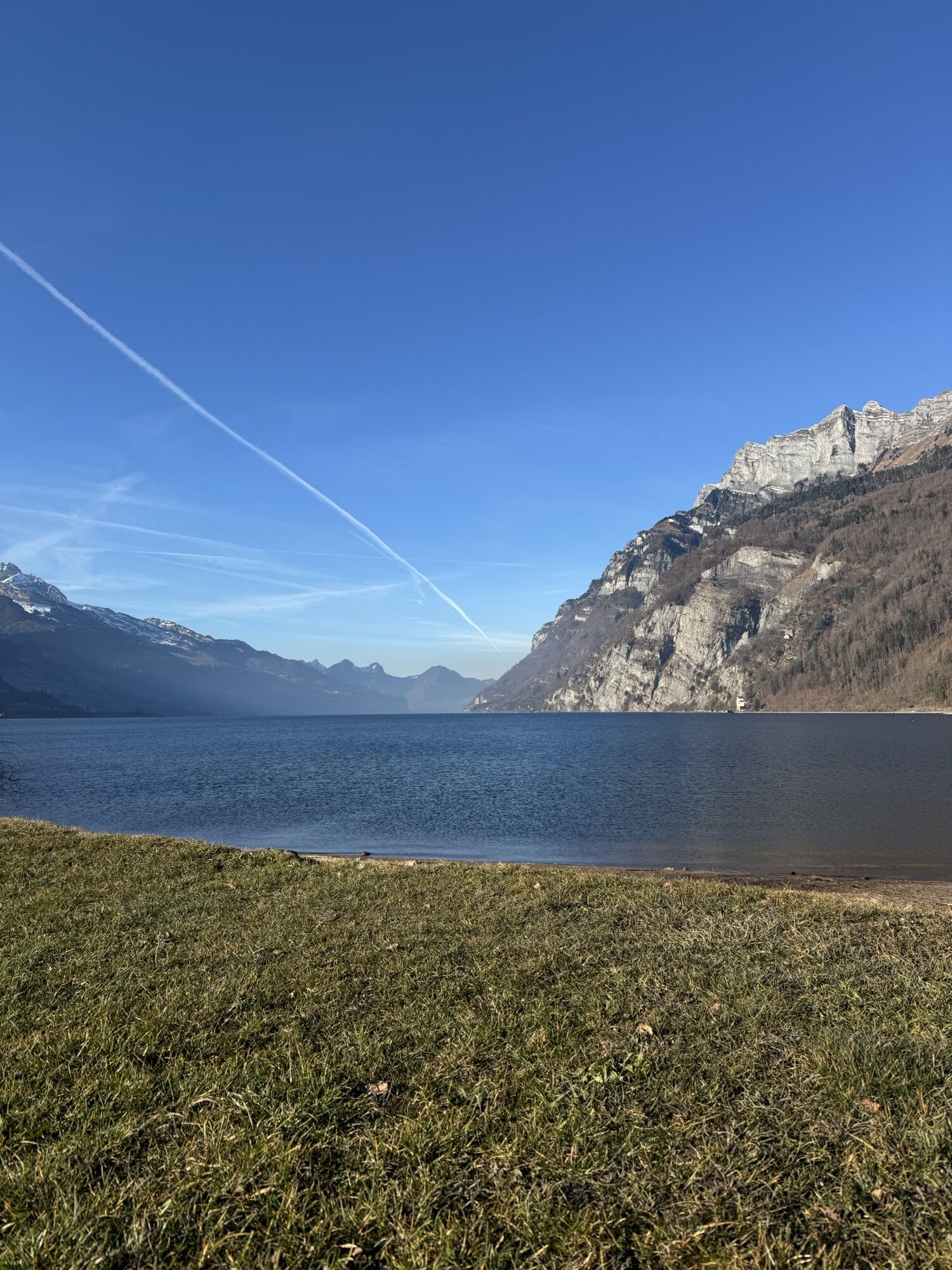
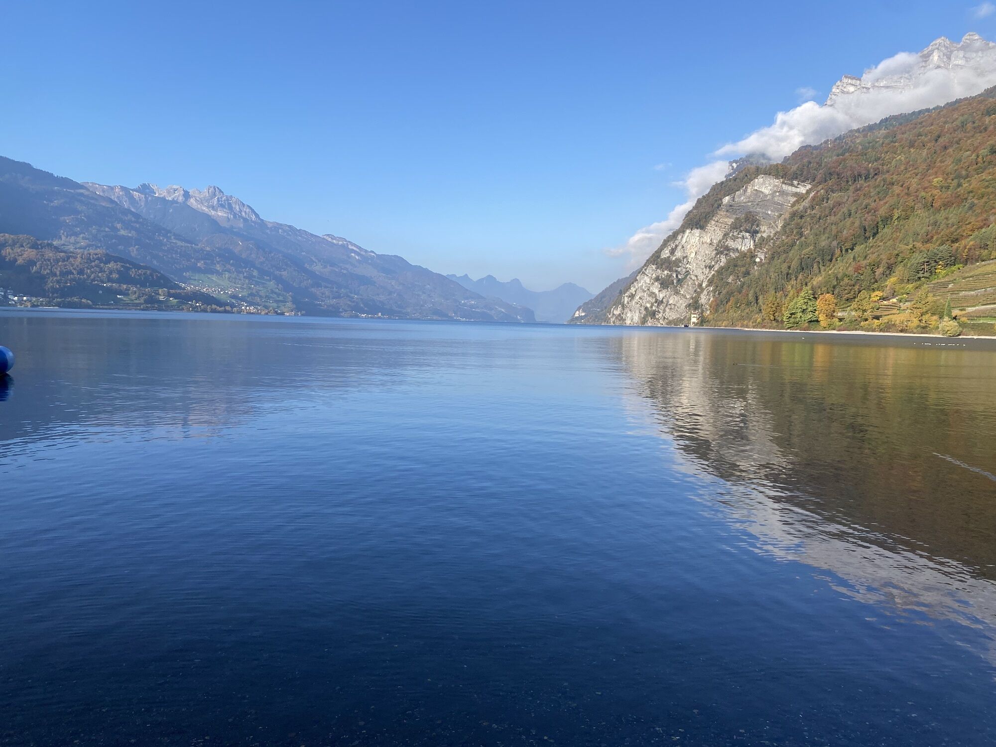
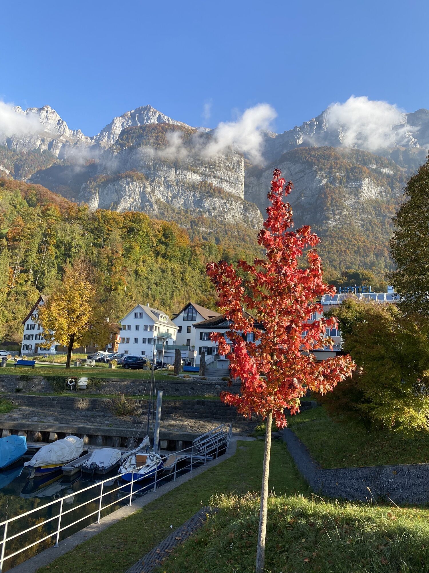
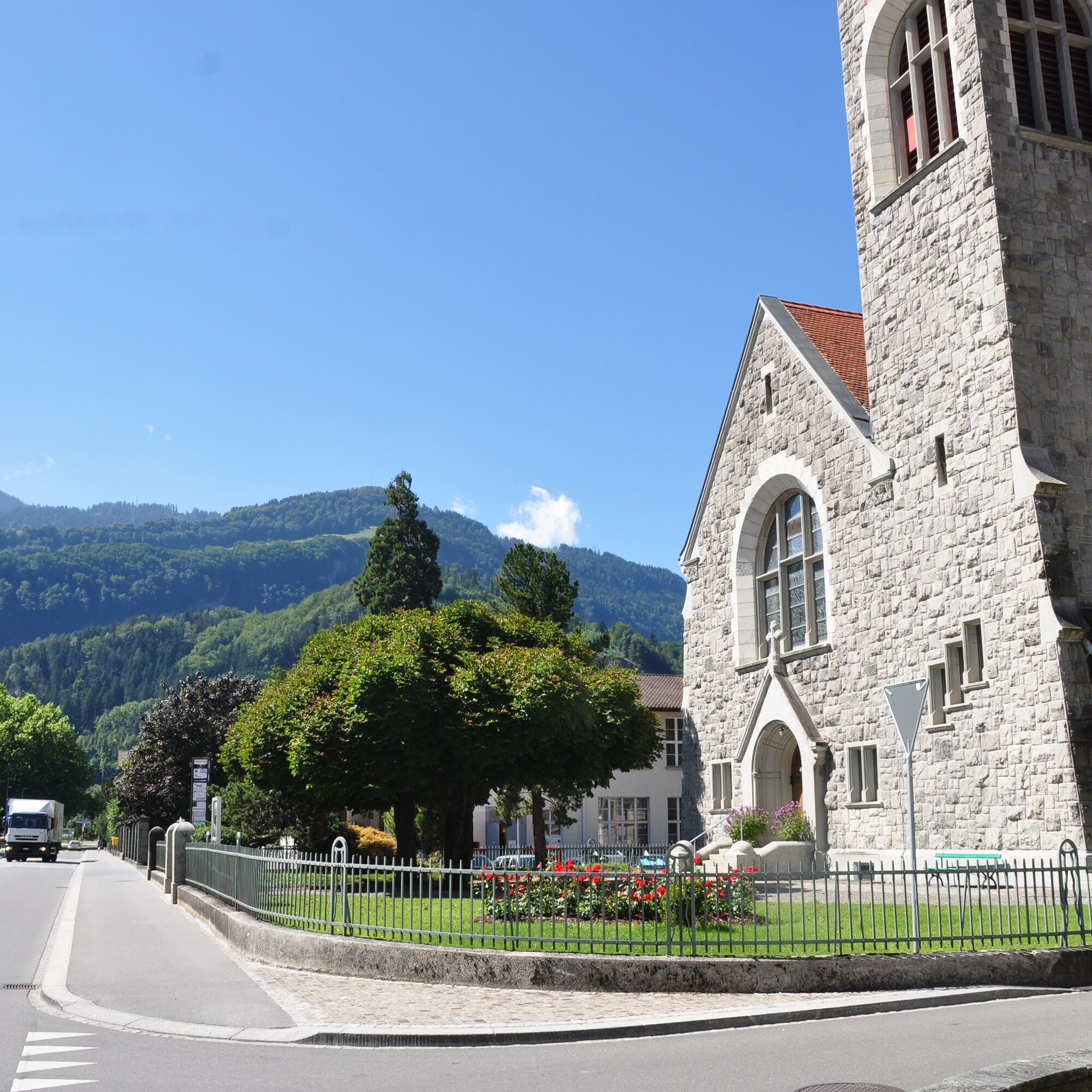
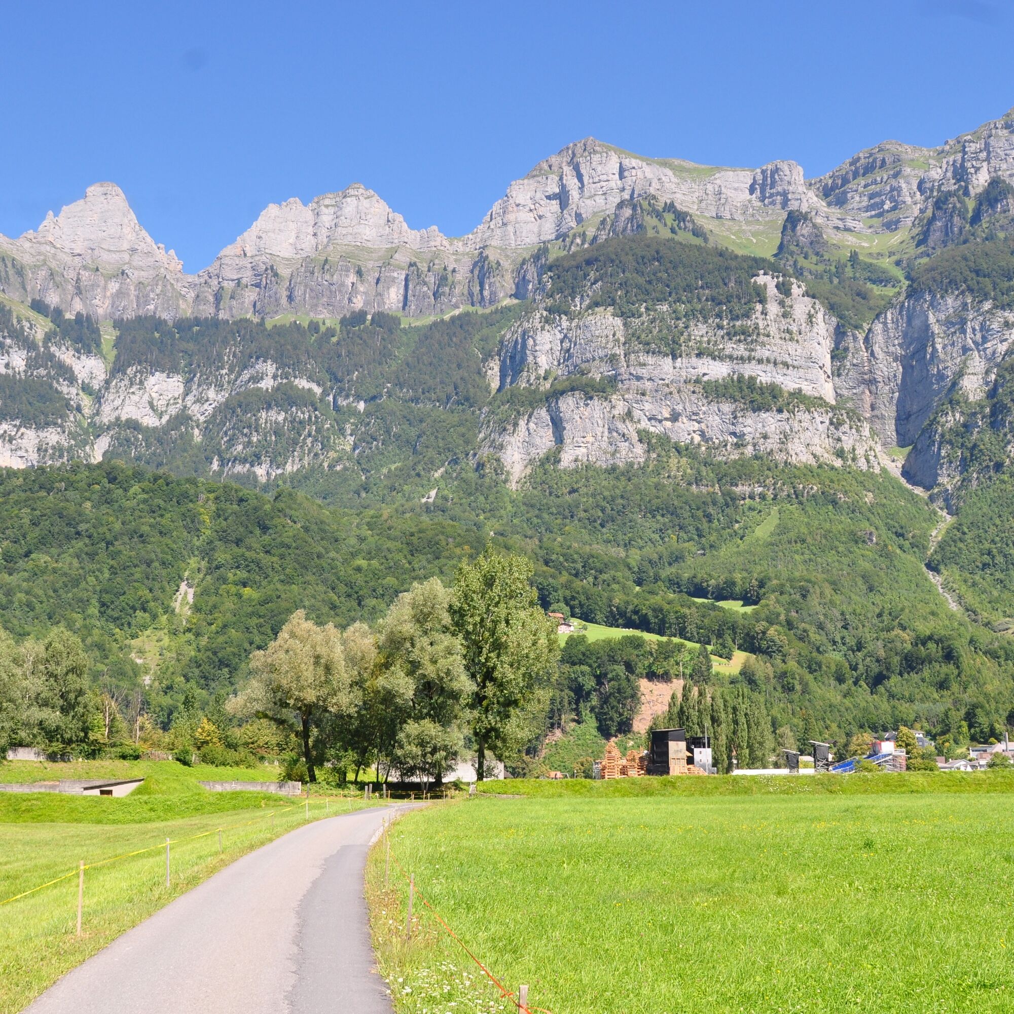
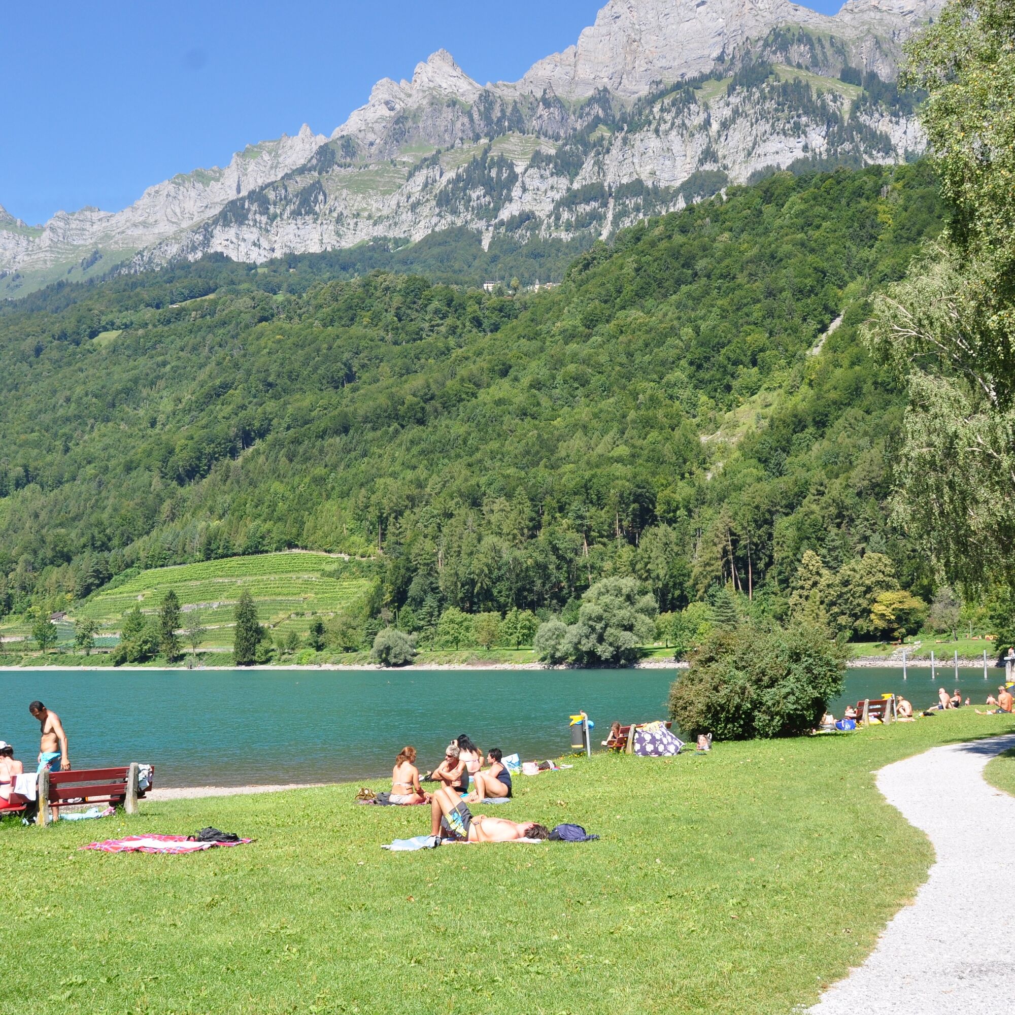
The starting point for this 3.2 km long trail is the information point of the Walenstadt station at the ship landing stage (425 m above sea level). From there, the trail leads right into the historic center of Walenstadt with its impressive village fountain and numerous venerable buildings. The trail continues along Bahnhofstrasse to the main road by the station. On the sidewalk, the trail then leads out of the village towards the lake. Just before crossing the Seez river, the trail turns left to follow the stream for a few meters. With the impressive Churfirsten and the turquoise blue Lake Walen always in view, the last section runs along the lake promenade back to the starting point.

By the Lake - Village - Station - Seez Bridge - By the Lake
Good and comfortable jogging gear.
Take the Walenstadt/Flums motorway exit and continue along the main road towards Walenstadt. Then follow the signs to the lake.
By train to Walenstadt and then by bus to the Walenstadt Harbor stop.
Public parking available at Walenstadt harbor (paid).
Heidiland Tourism
Information Point Unterterzen
T +41 81 720 17 17
www.heidiland.com
The Outdoor Fitness Trails mostly follow official hiking paths. The hiking trail signage also helps with orientation along the way.
Obľúbené výlety v okolí
-
4,7
Walensee Riviera Weesen - Quinten
strednáTuristika 10,2 km -
4,7
Riviera Lake Walen Walenstadt-Quinten
strednáTuristika 10,4 km -
4,7
Alvier
strednáTuristika 3,33 km -
4,6
4-Summit-Route Flumserberg
strednáTuristika 8,65 km -
4,6
Schwägalp - Berggasthaus Tierwies - Girenspitz - Säntis
ťažkéTuristika 4,83 km -
5,0
Schrina Alp and Cultural Trail
strednáTematická trasa 11,5 km -
4,7
Quinten-Trail 453
strednáBeh 8,97 km -
3,2
Route of amazement Flumserberg
svetloTuristika 8,03 km -
4,5
Amden - Speer (Rundkurs)
svetloTuristika 17,6 km -
4,6
Säntis
strednáHorská turistika 17,5 km

Turistika a stopovanie


Nenechajte si ujsť ponuky a inšpiráciu na ďalšiu dovolenku
Vaša e-mailová adresa bol pridaný do poštového zoznamu.