





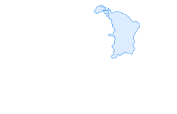
Untersee, Seerhein, Gnadensee

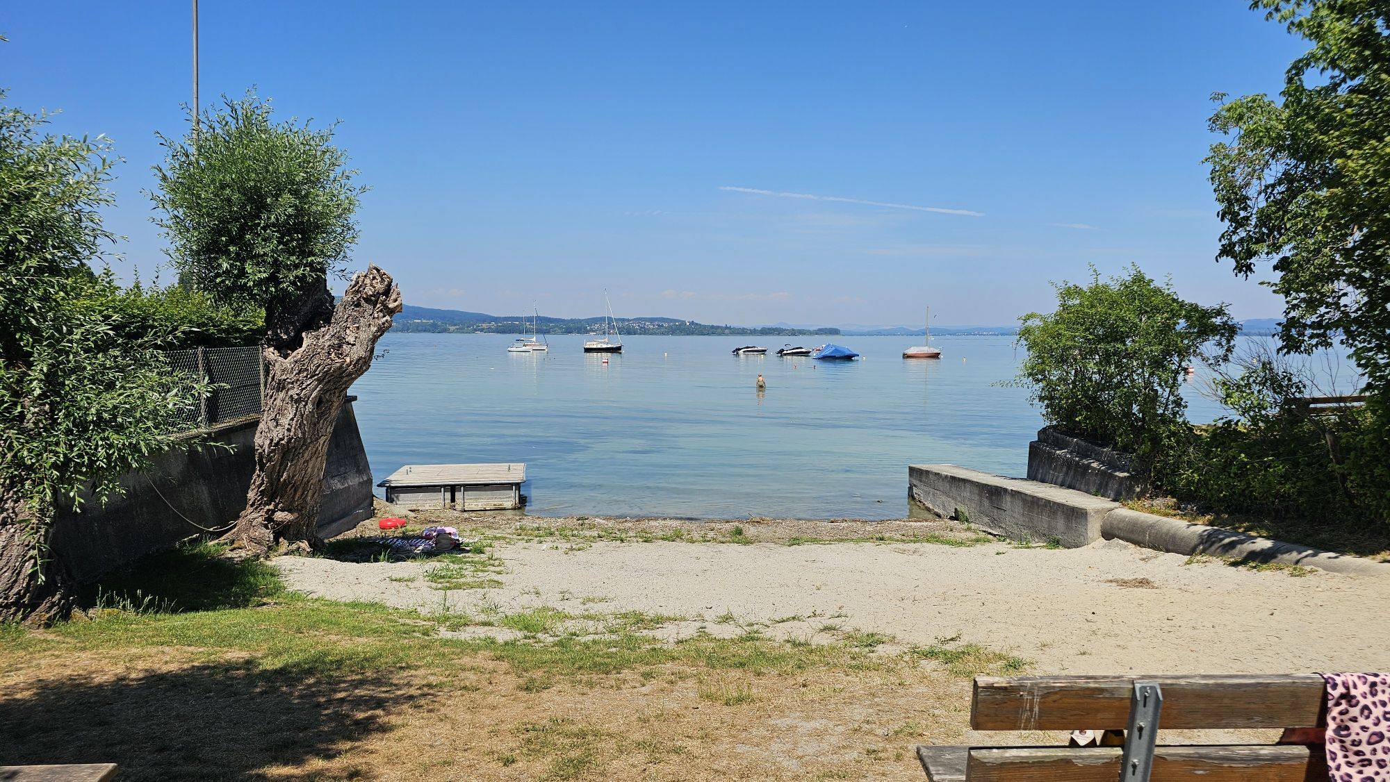
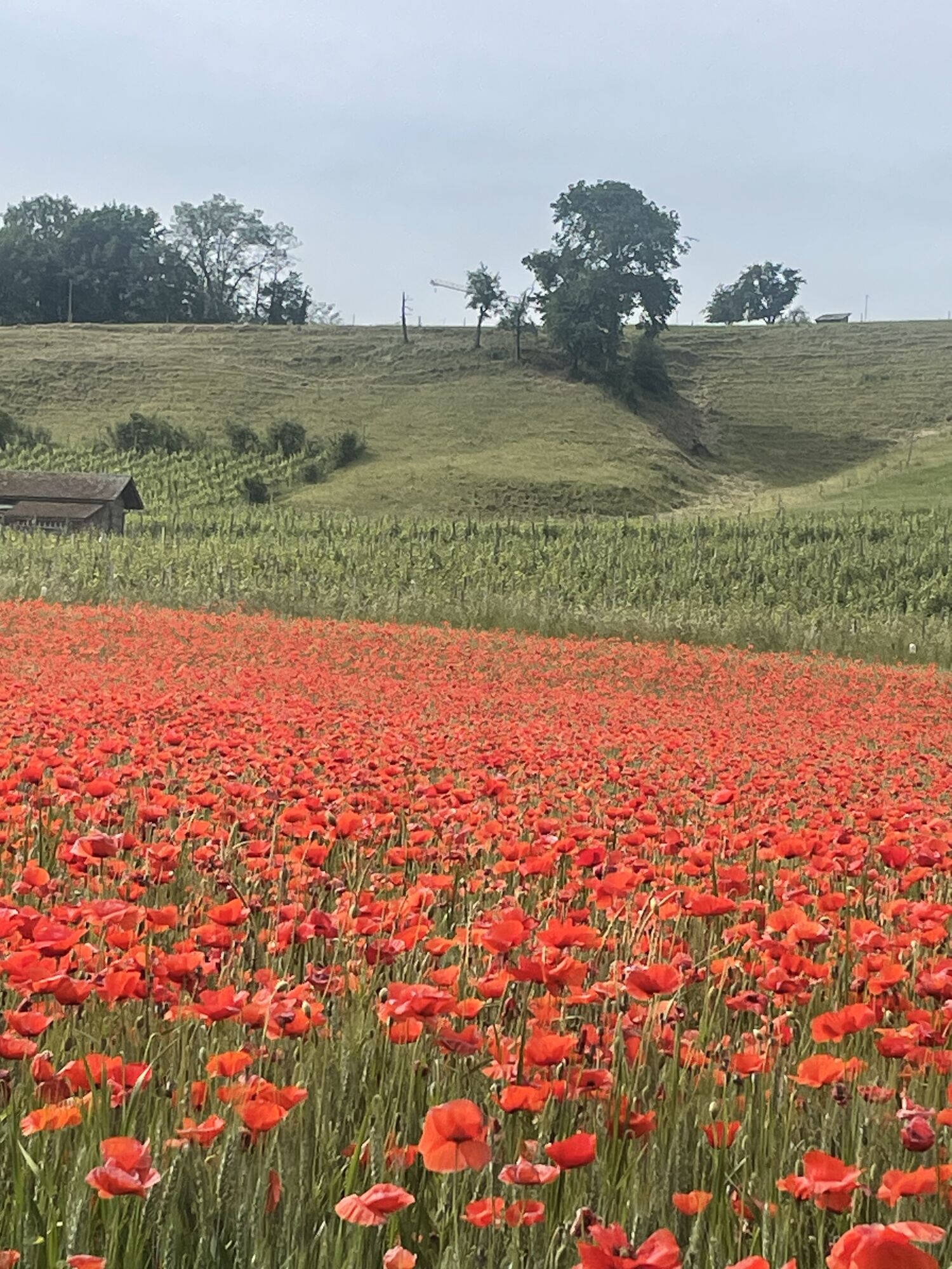
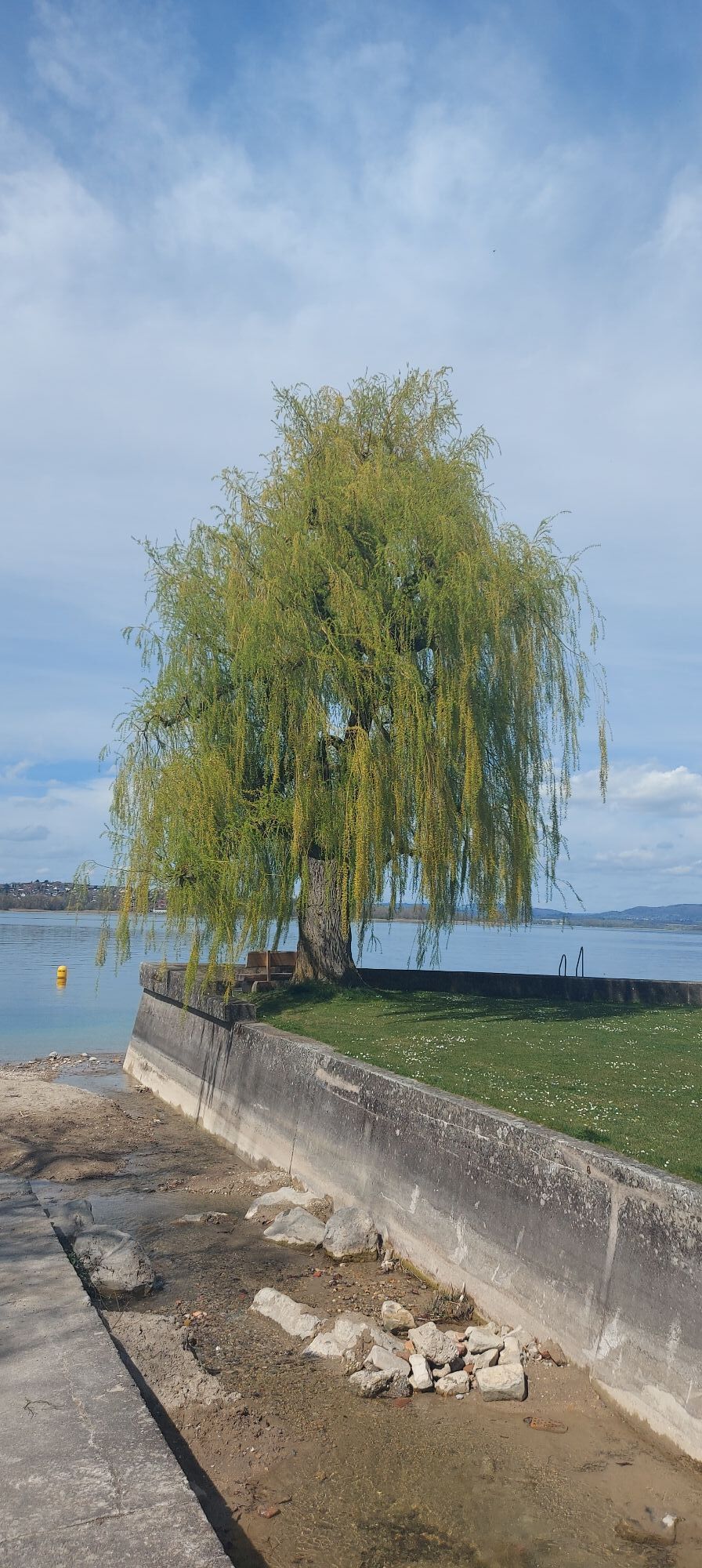
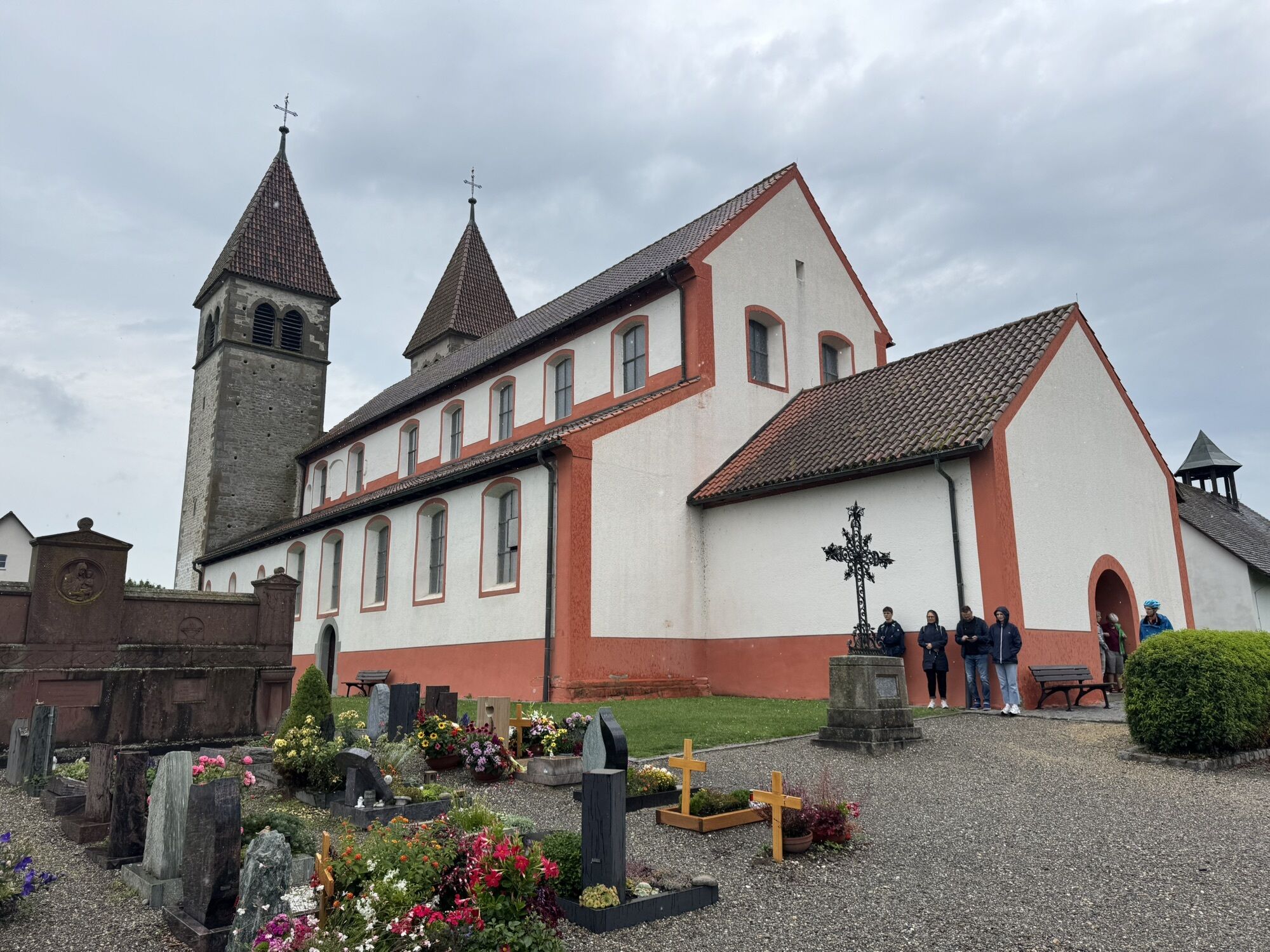
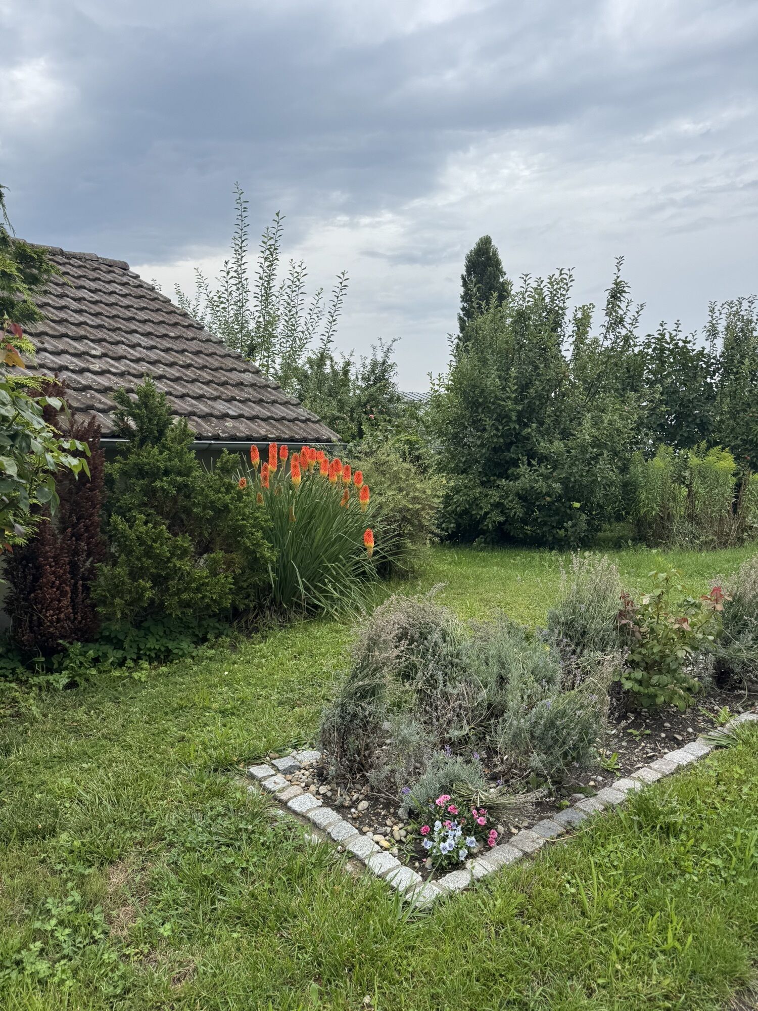
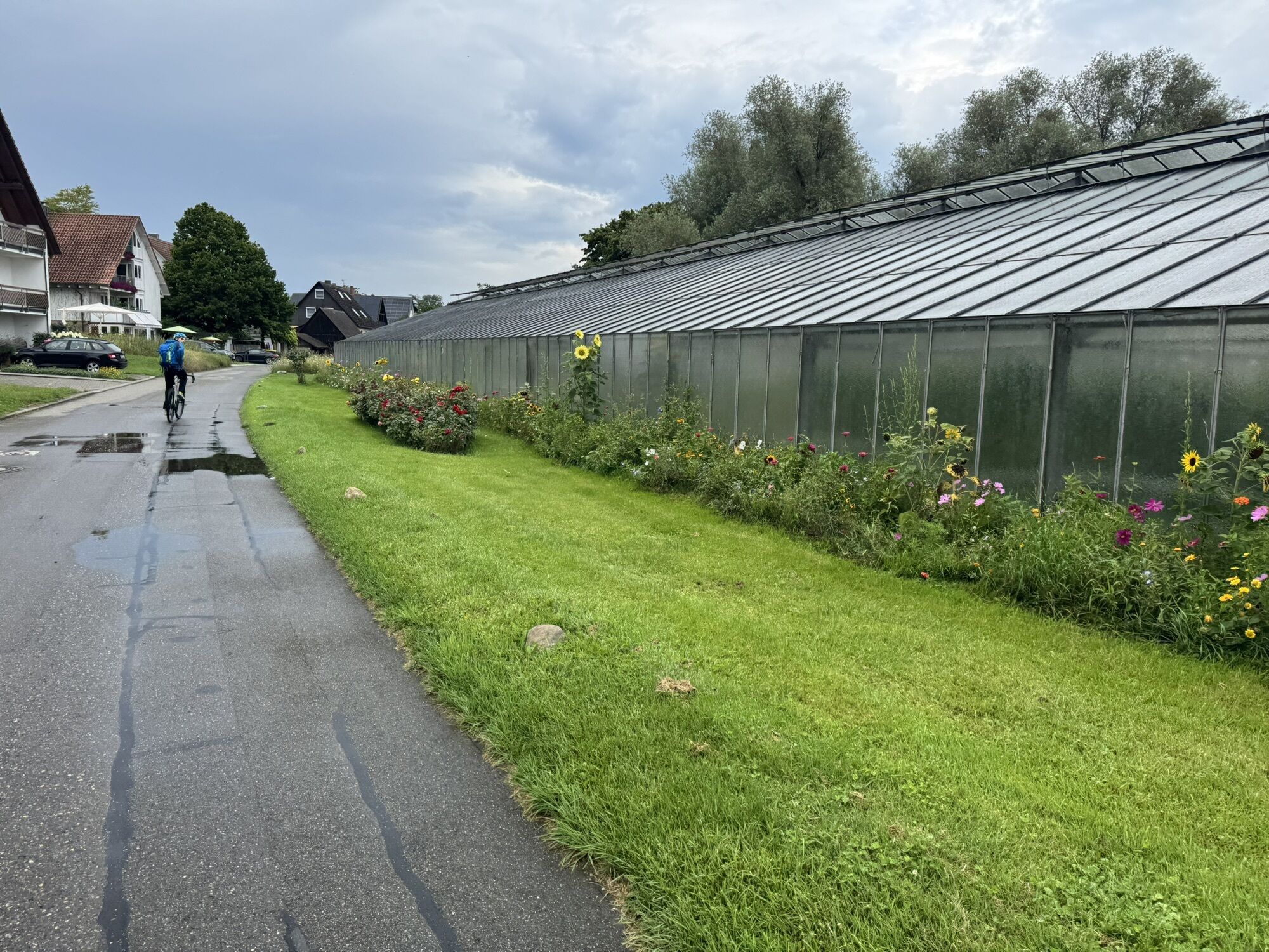
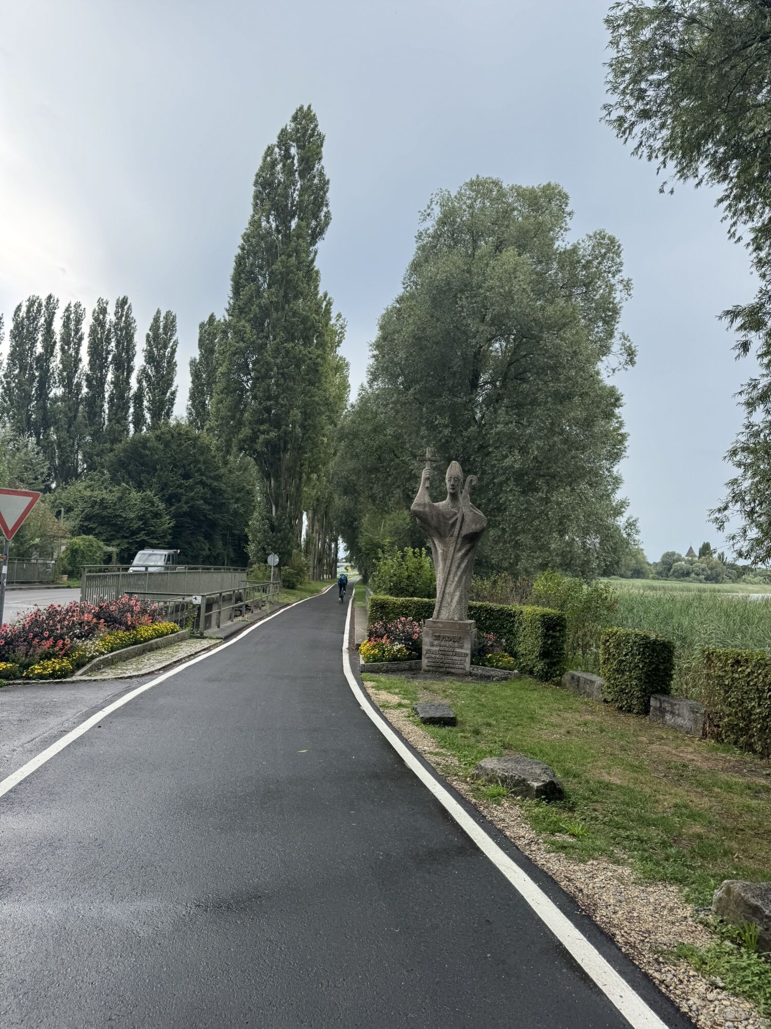
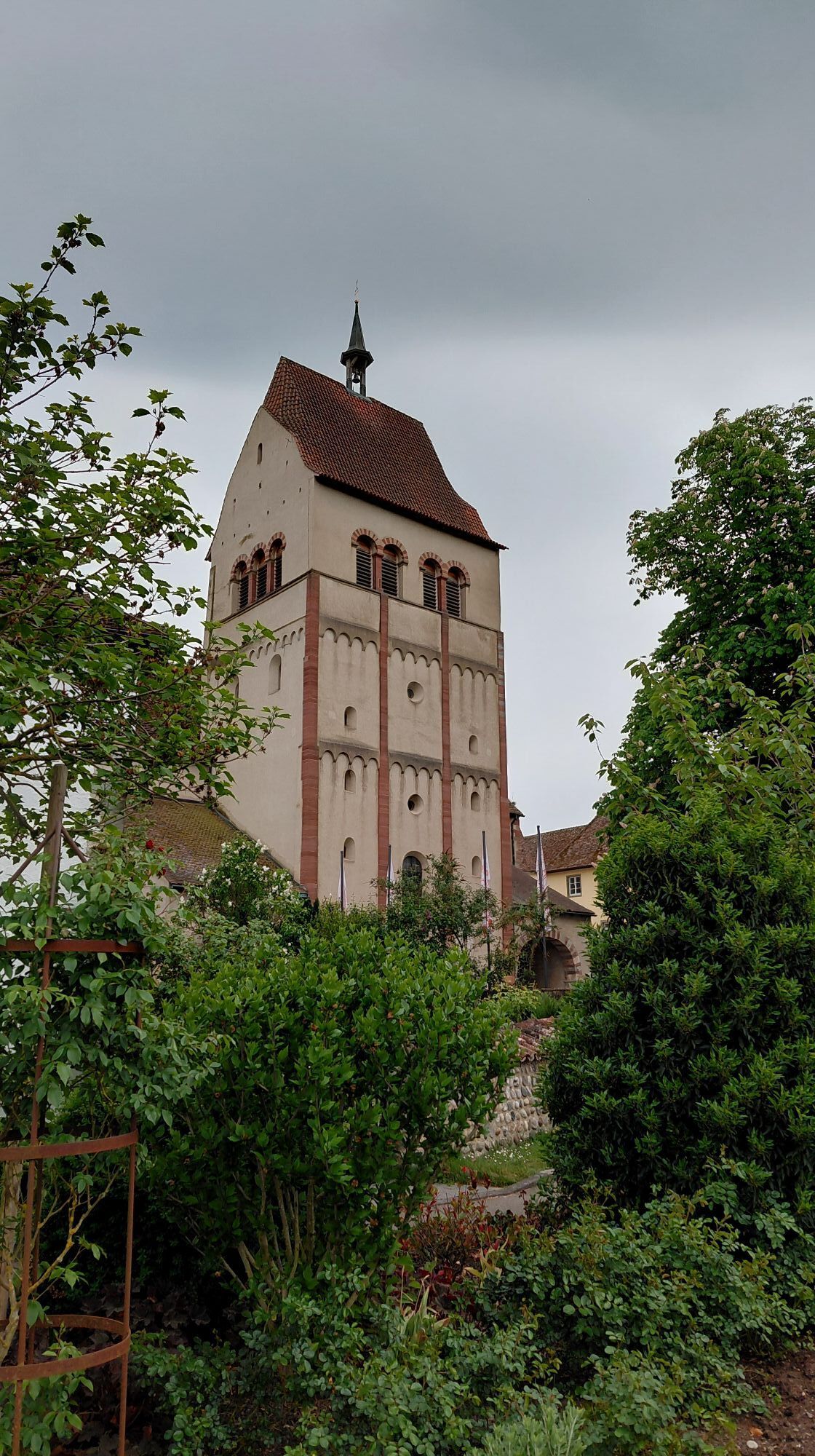
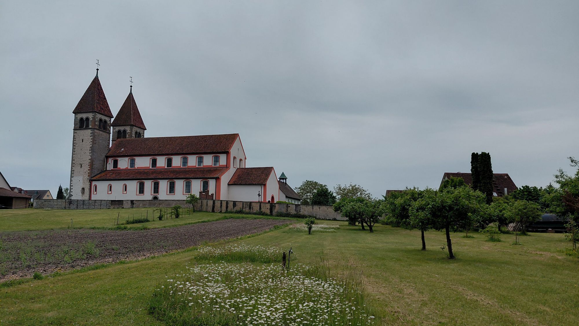
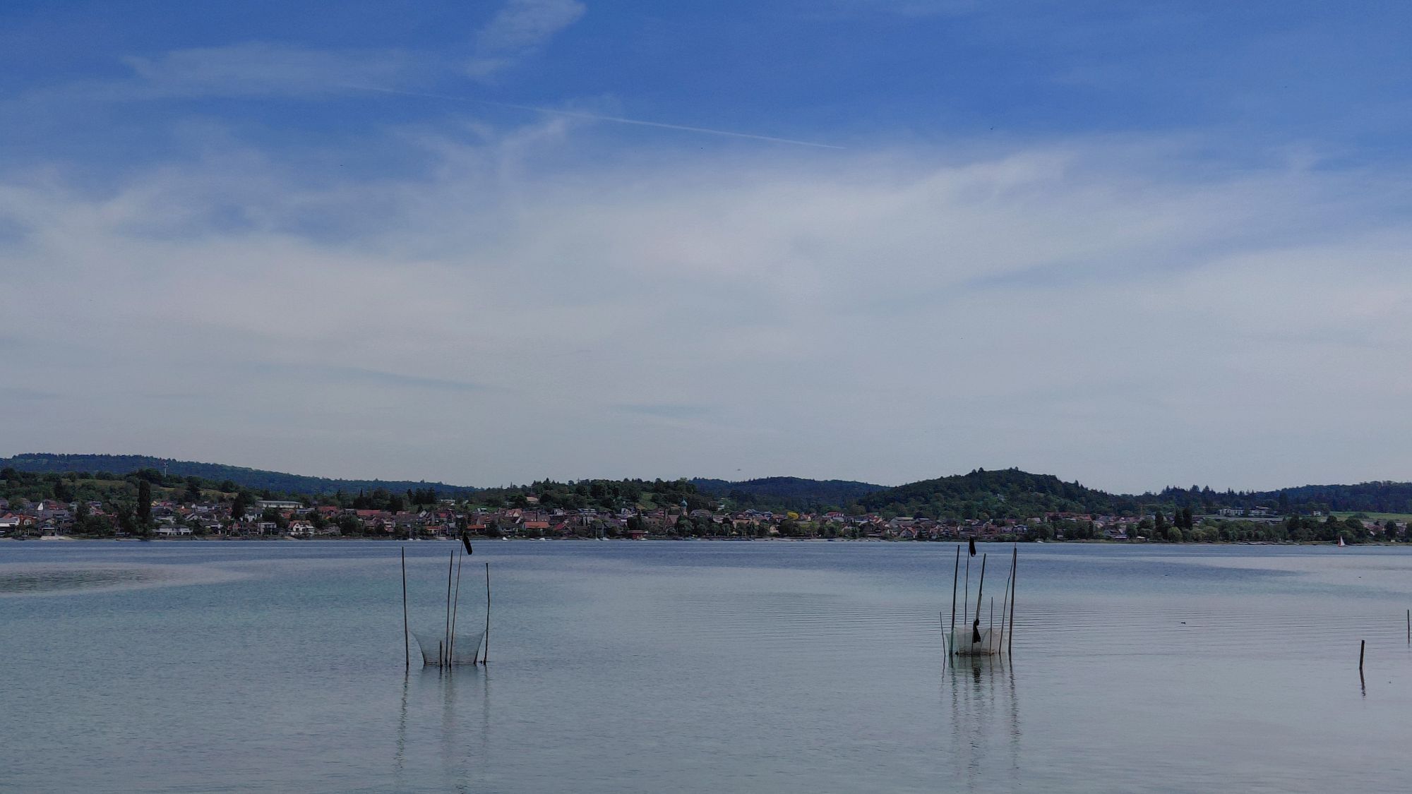
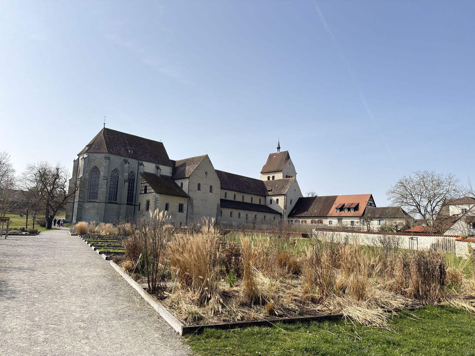
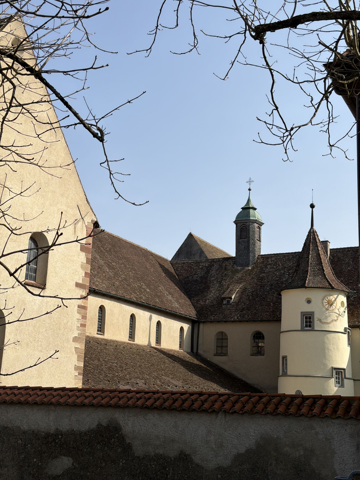
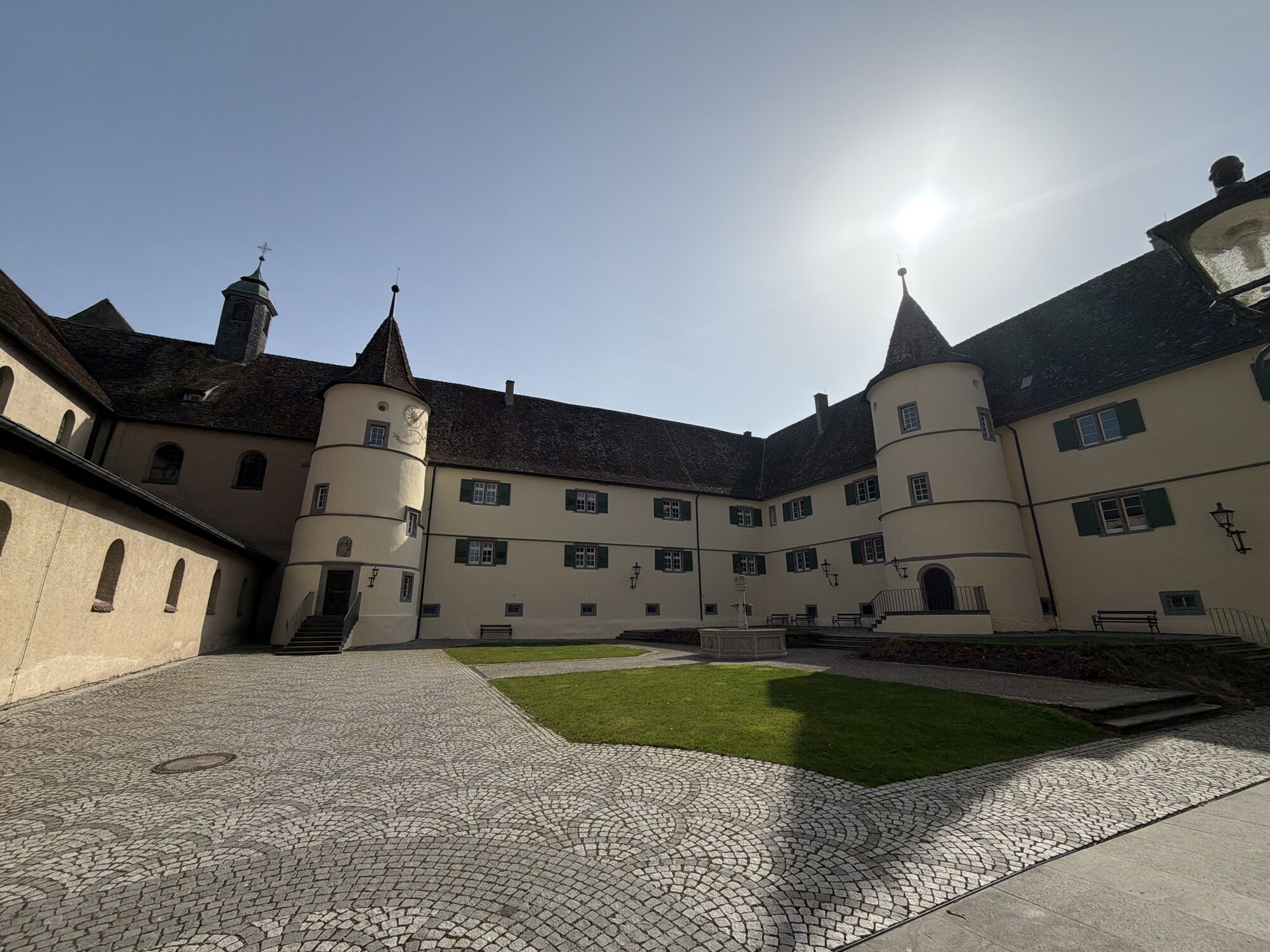
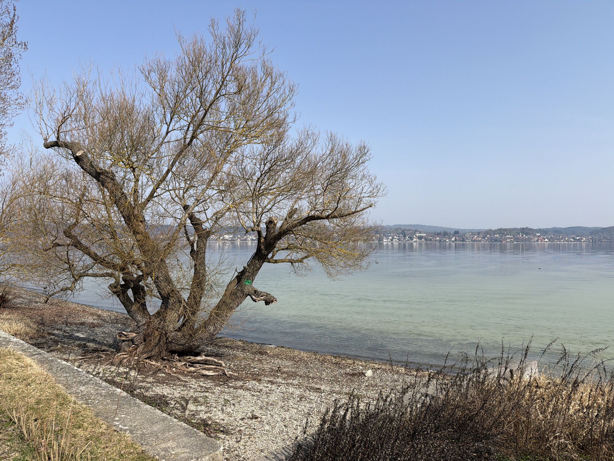
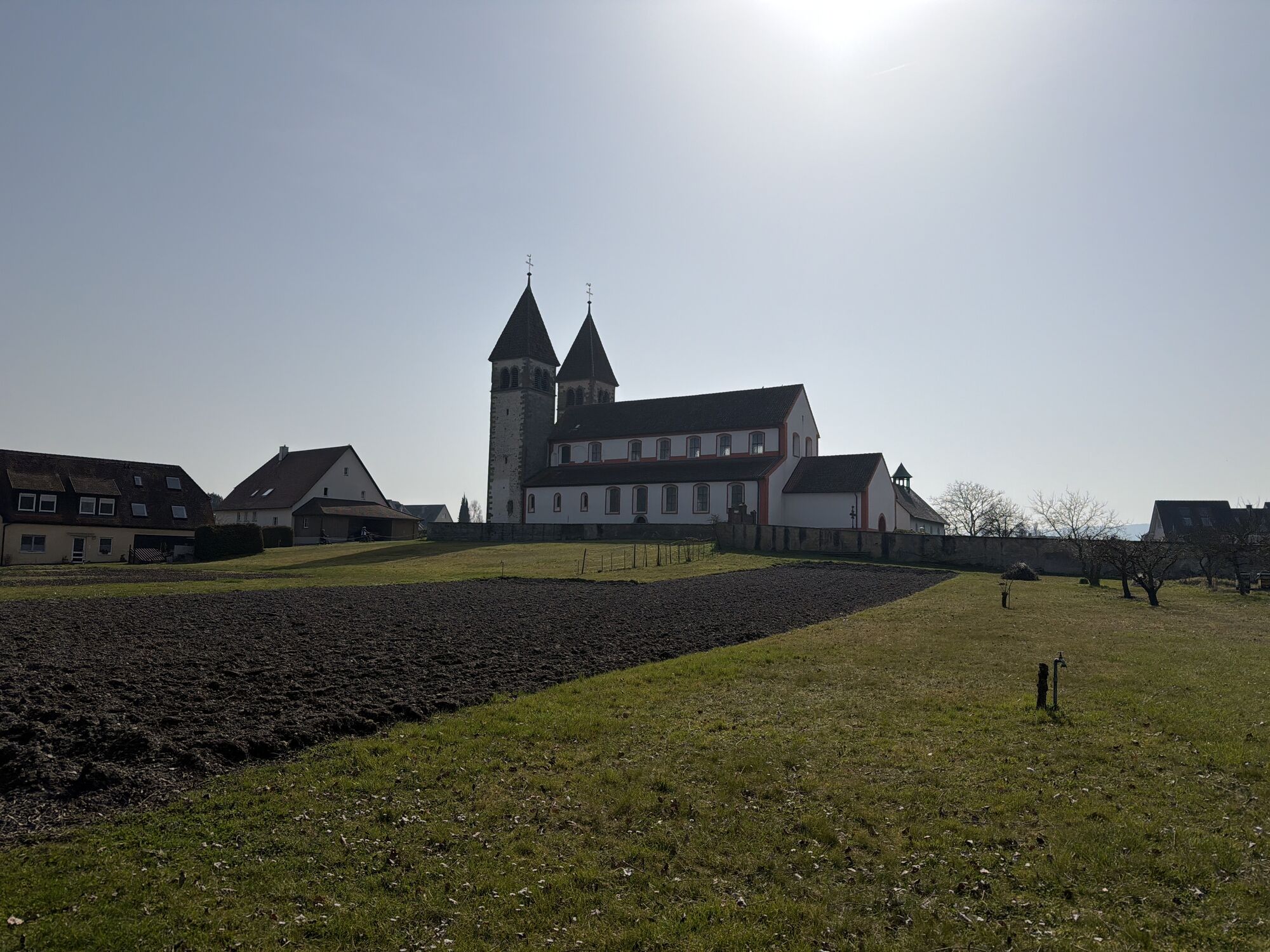
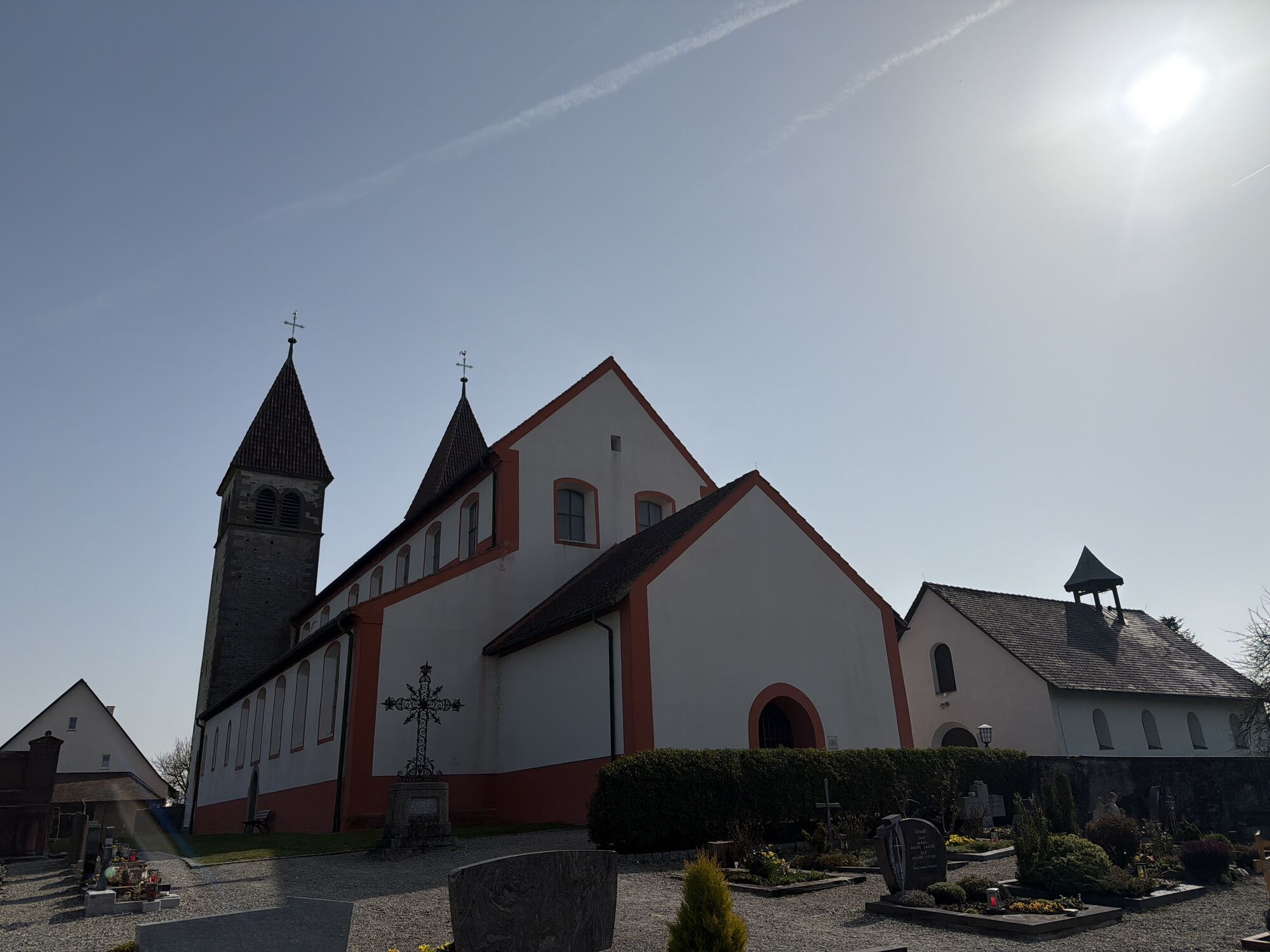
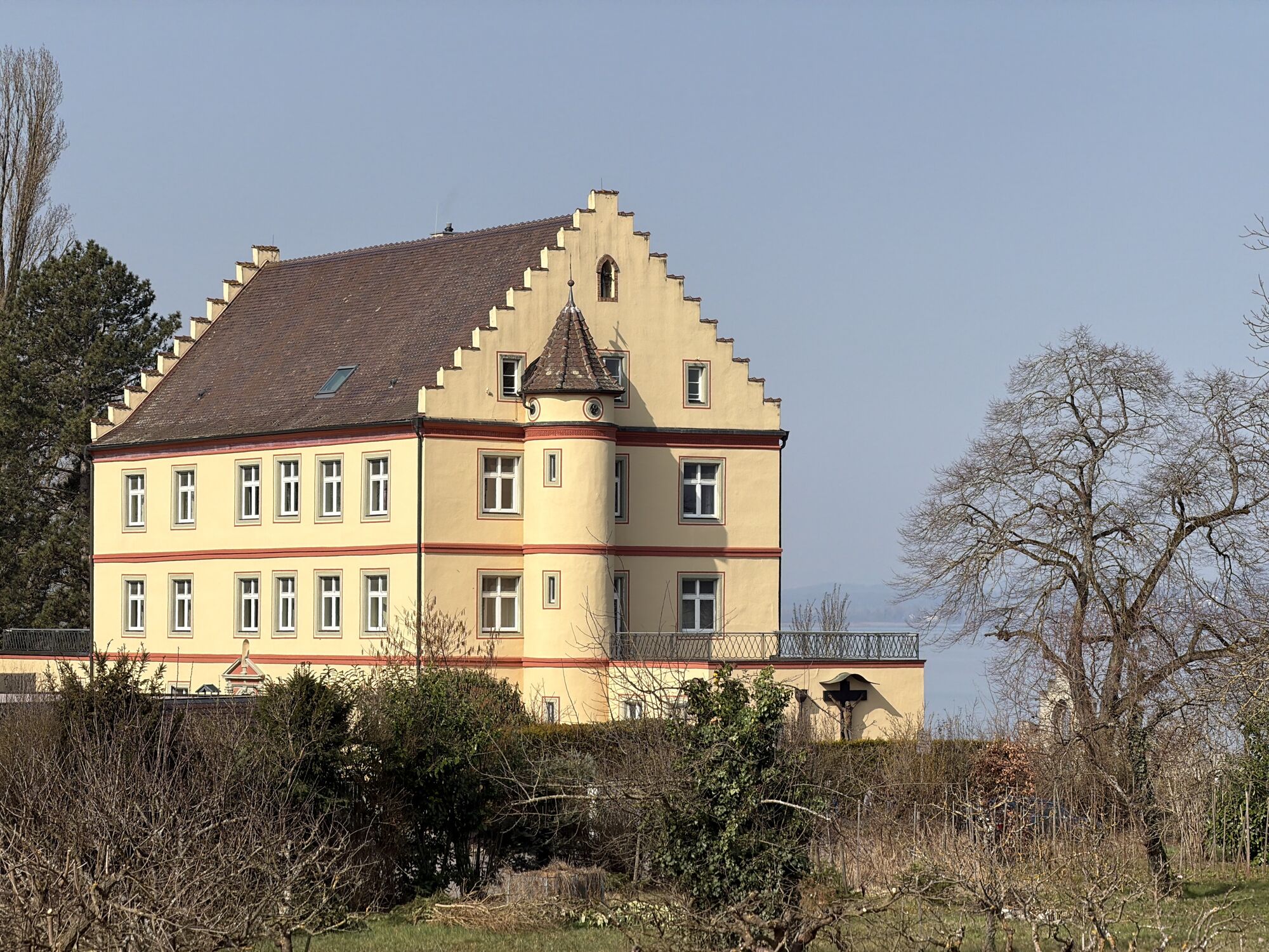
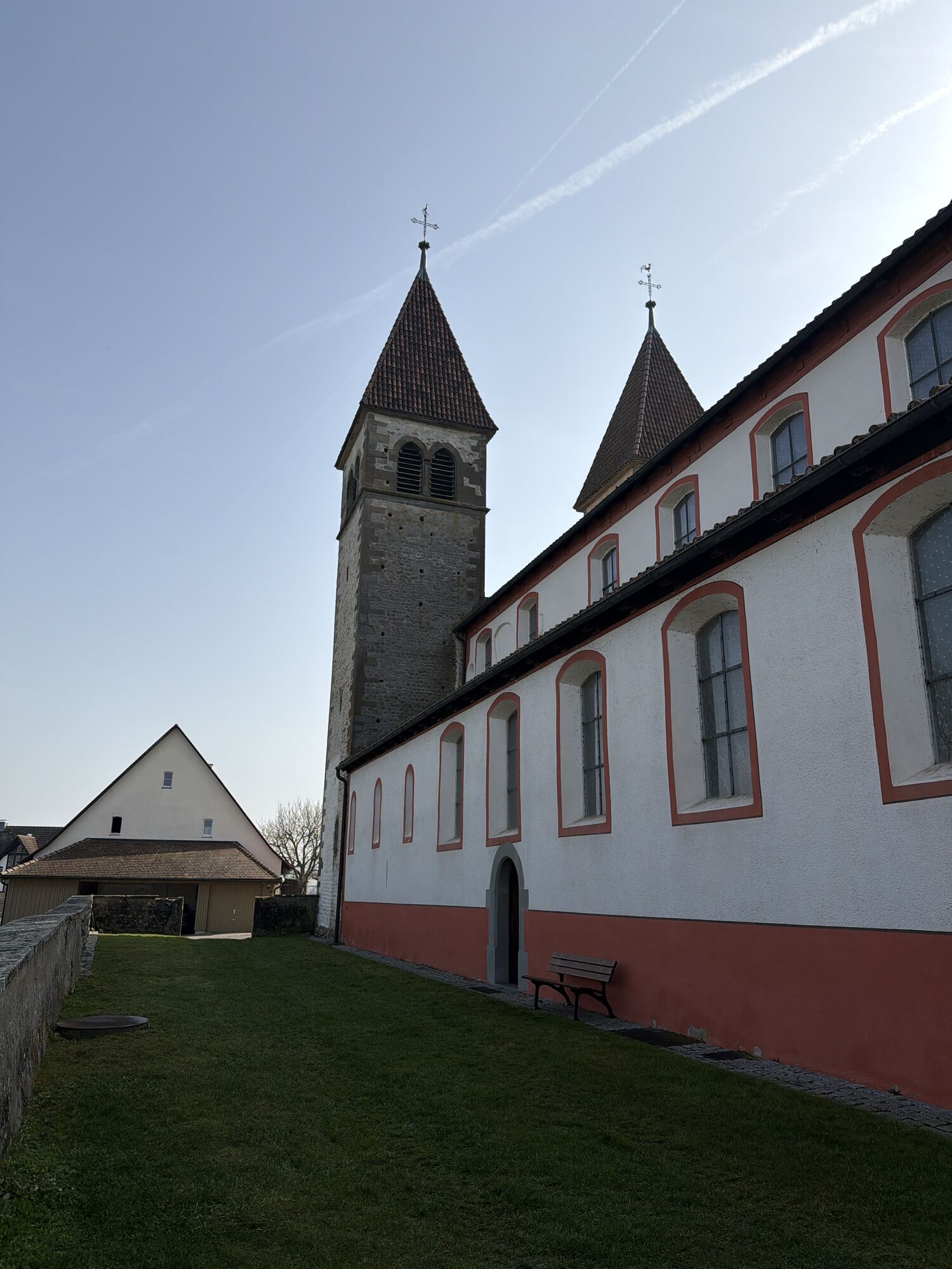
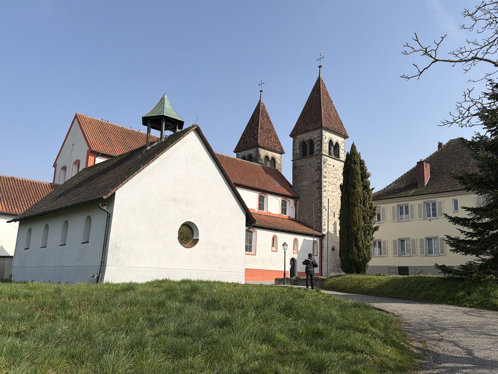
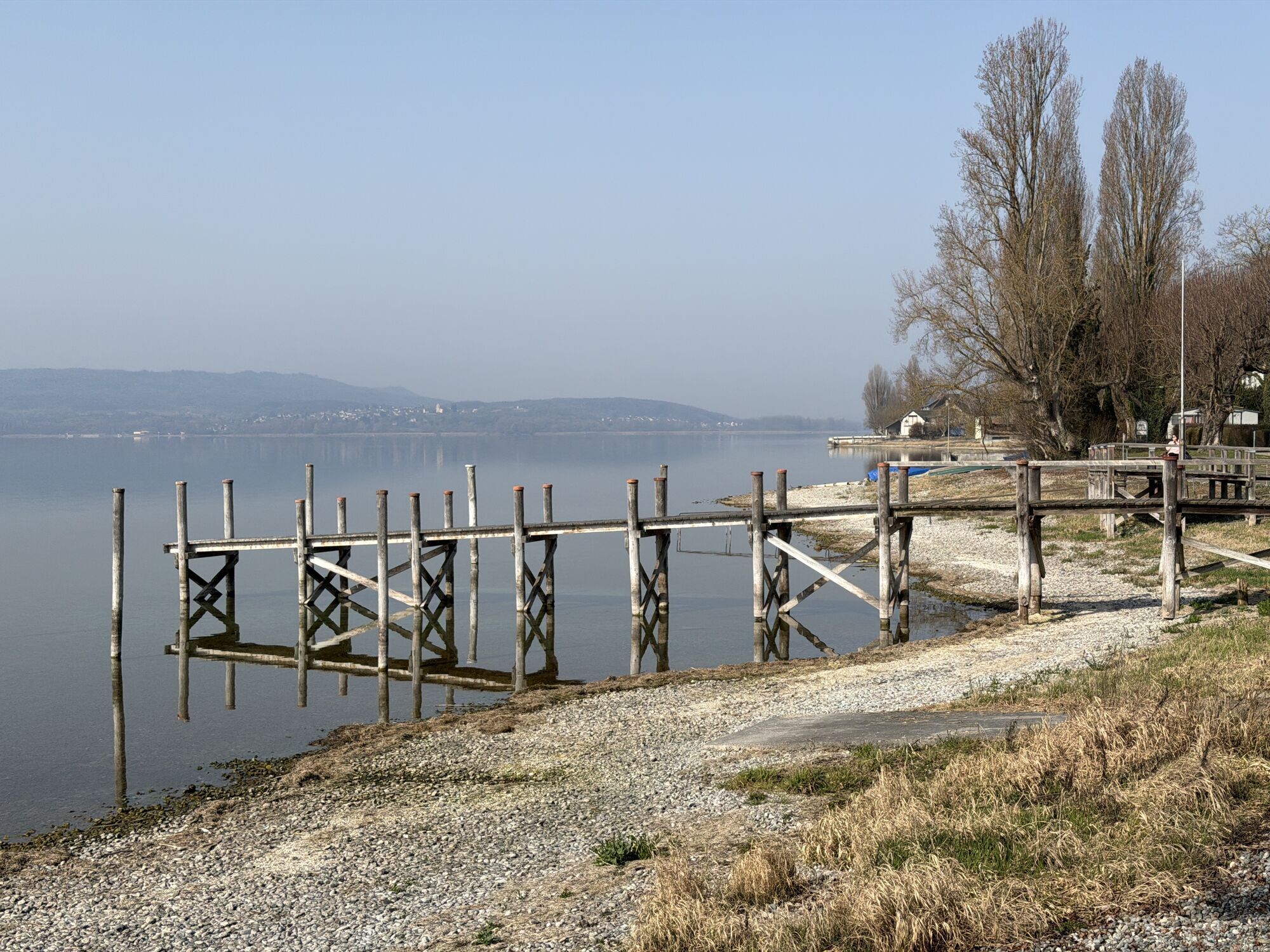
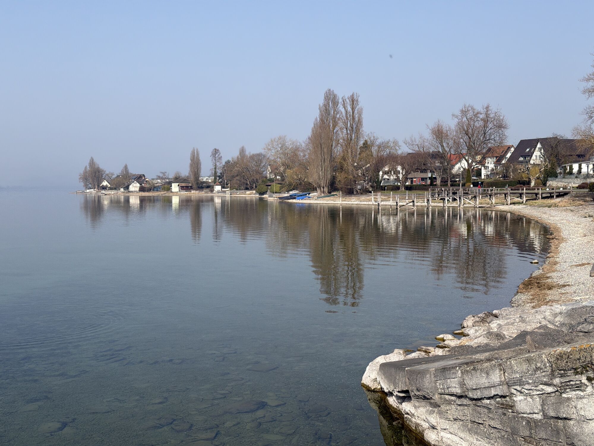
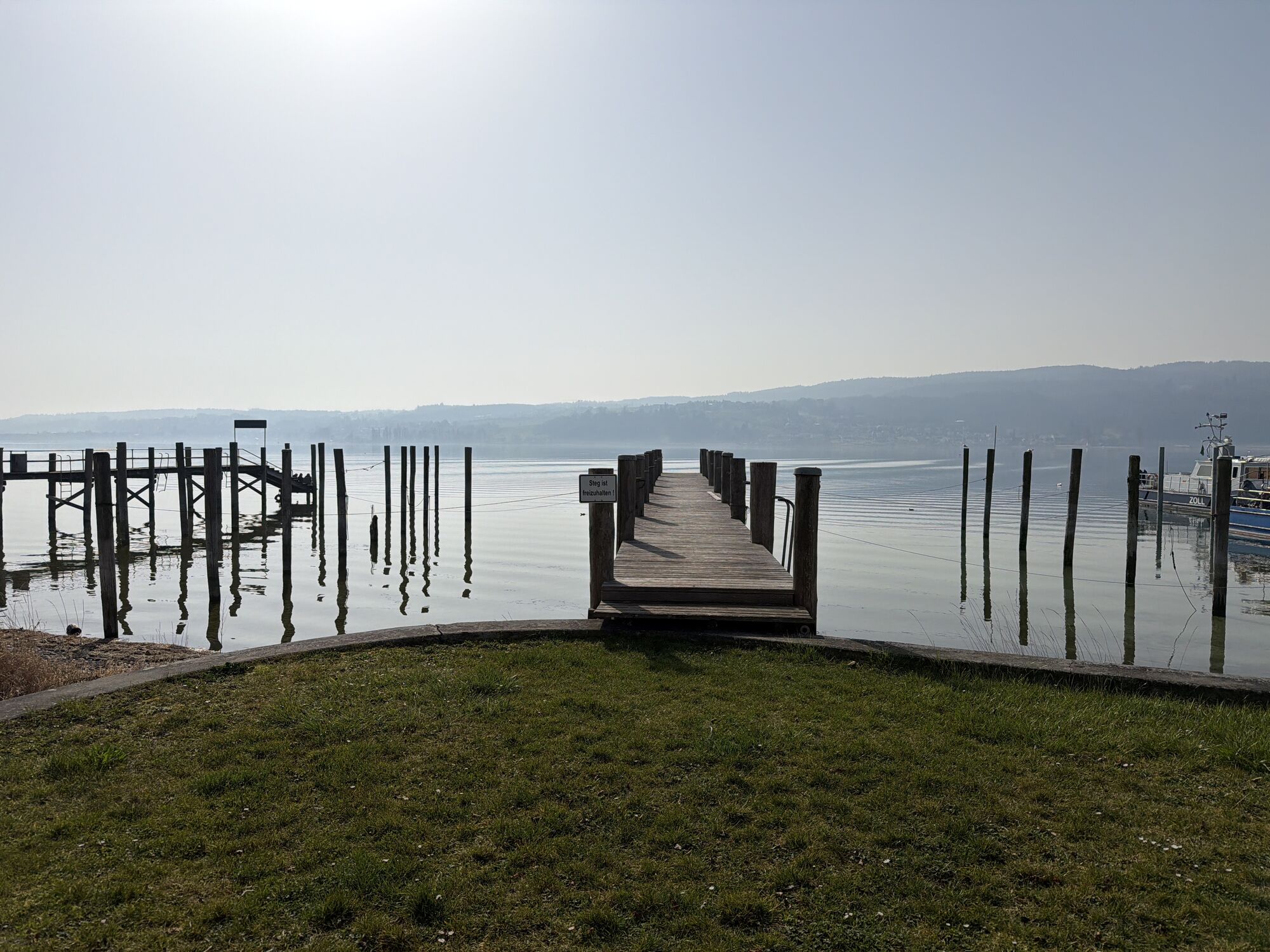
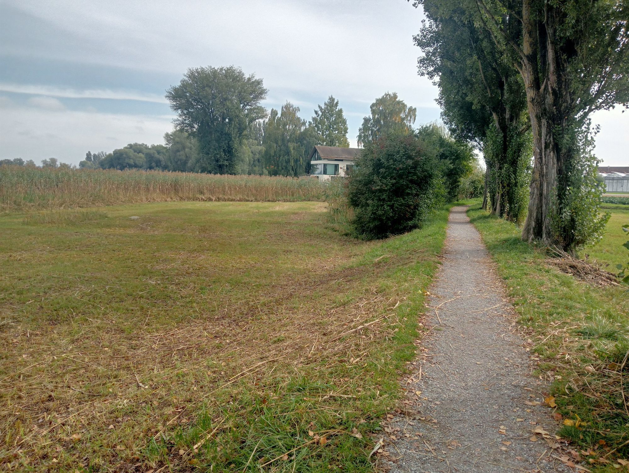
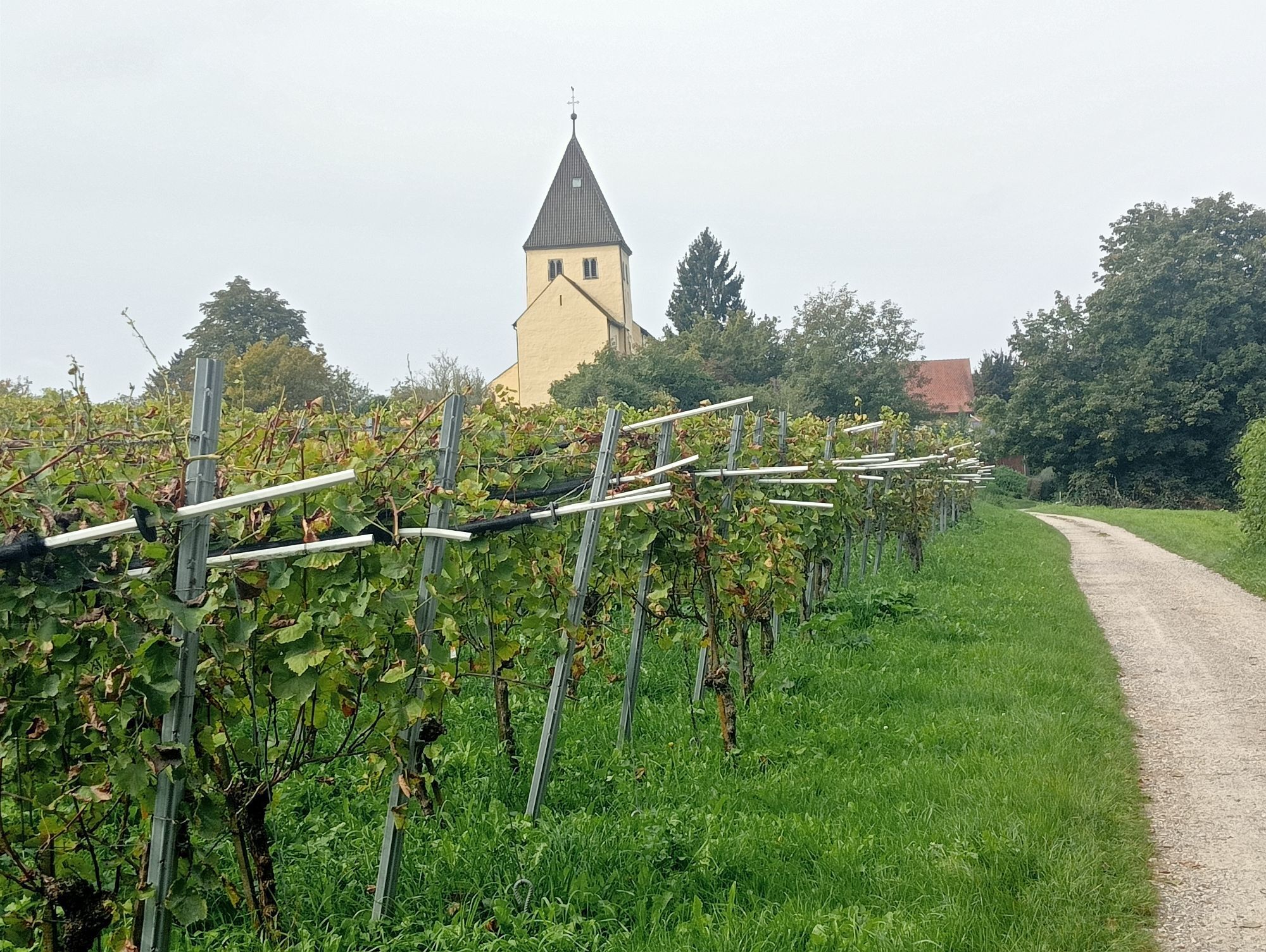
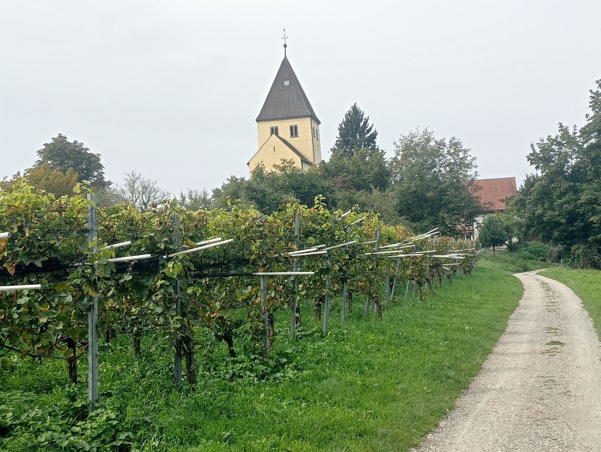
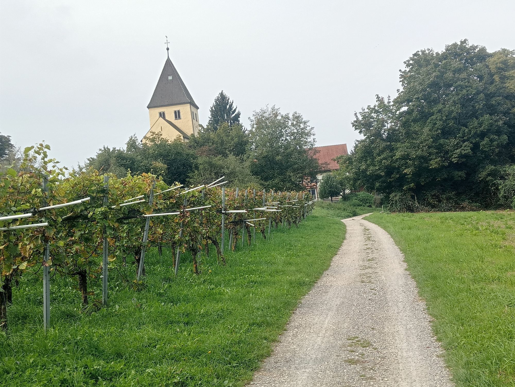
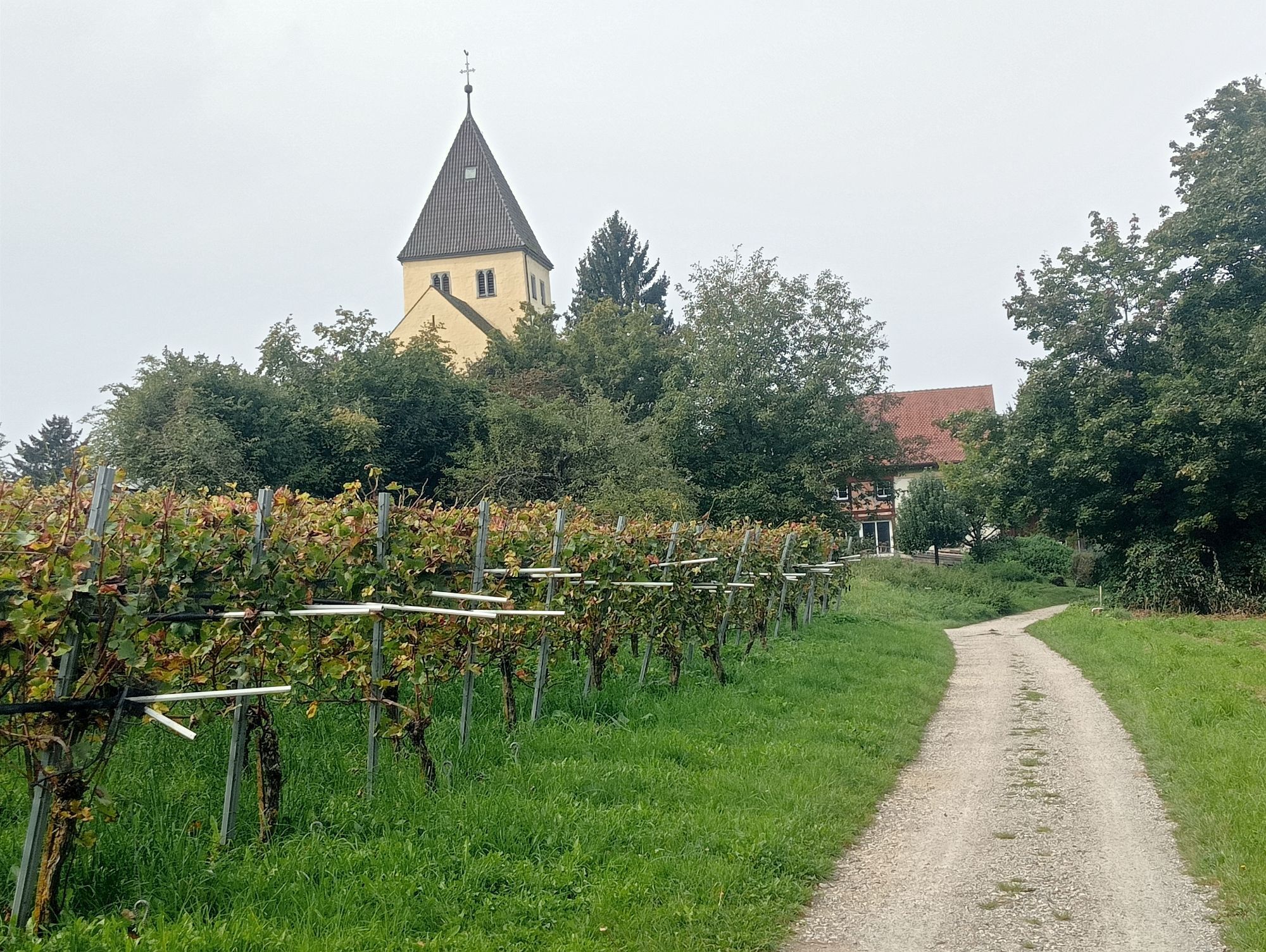
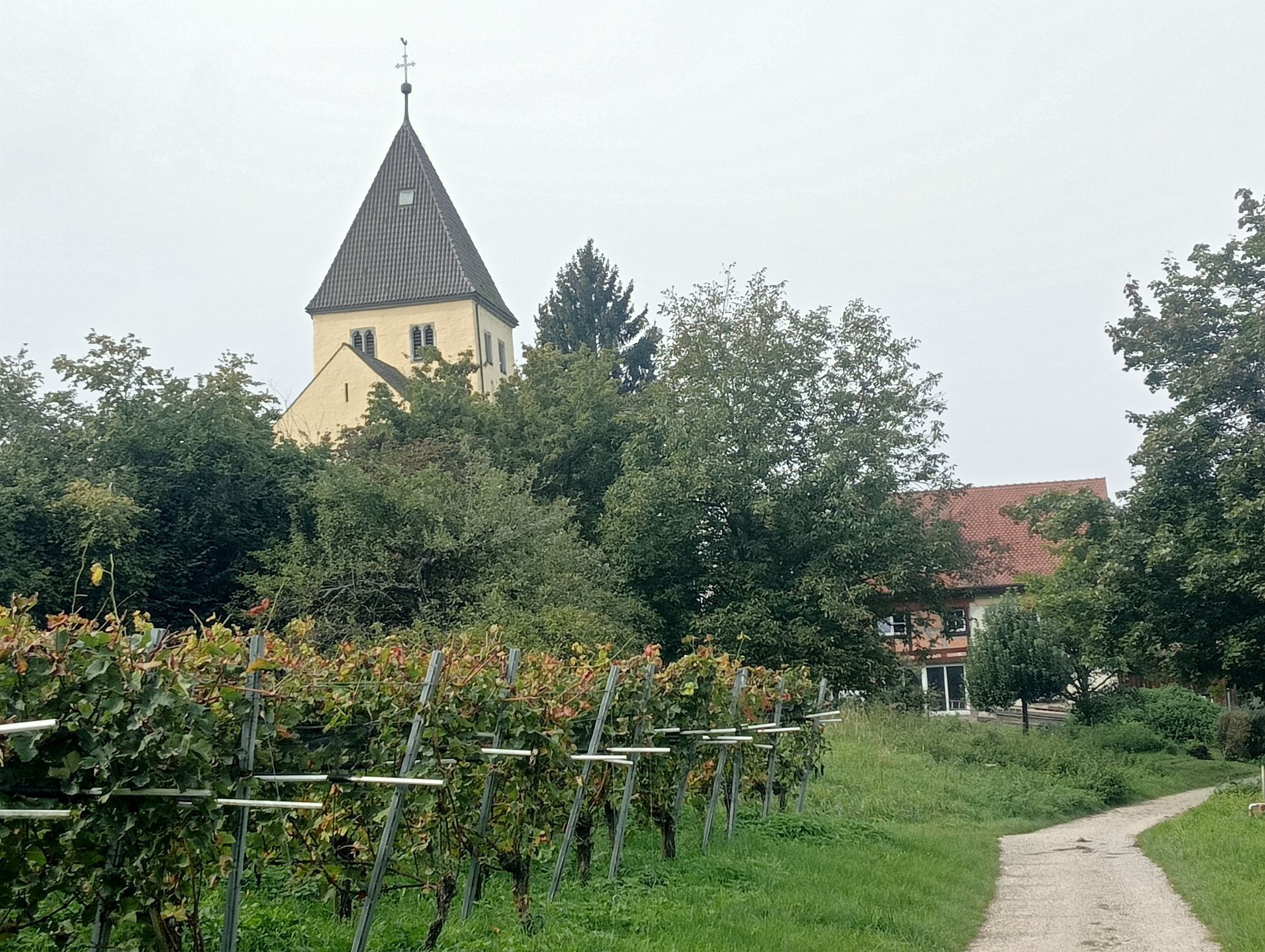
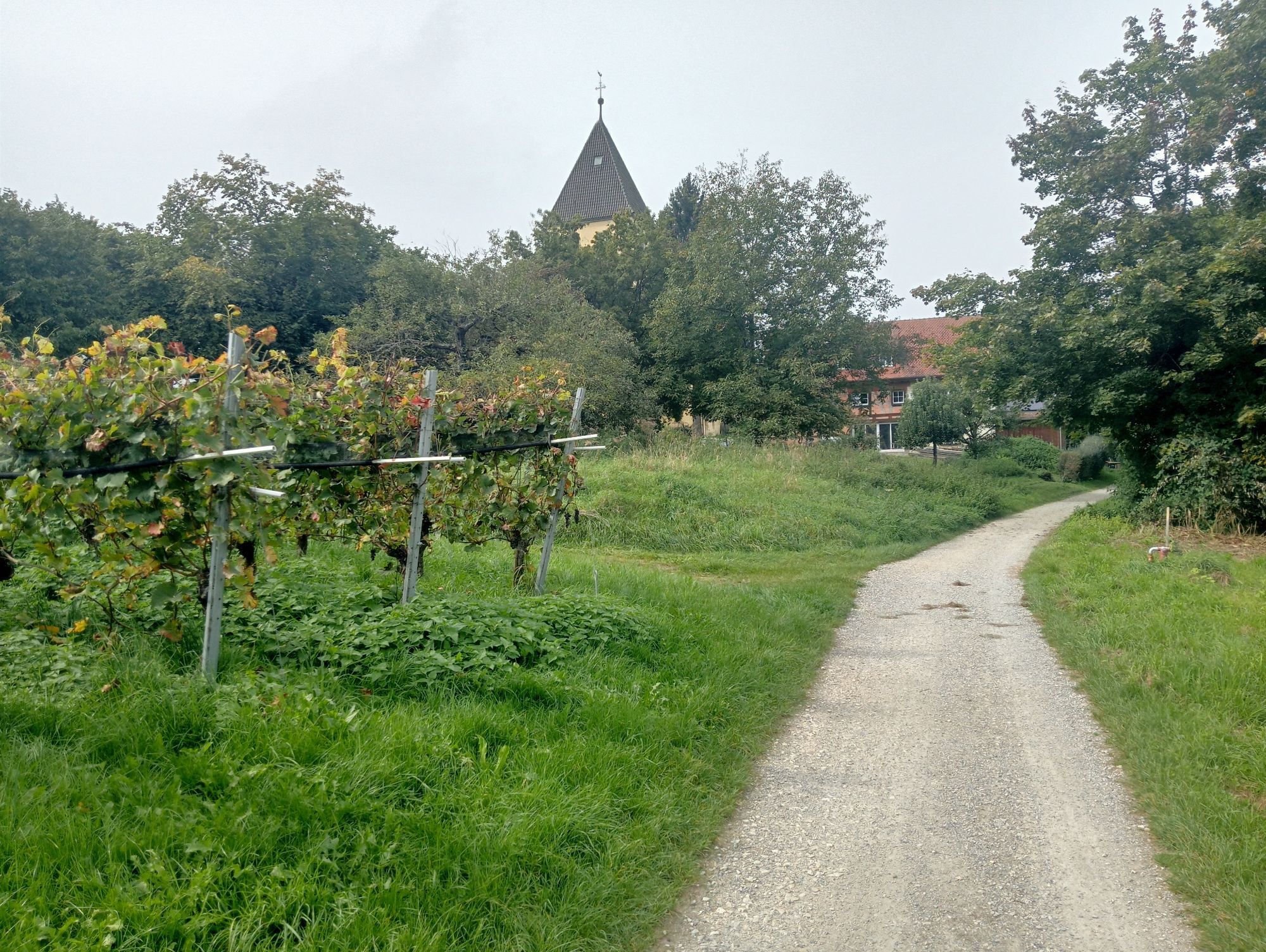
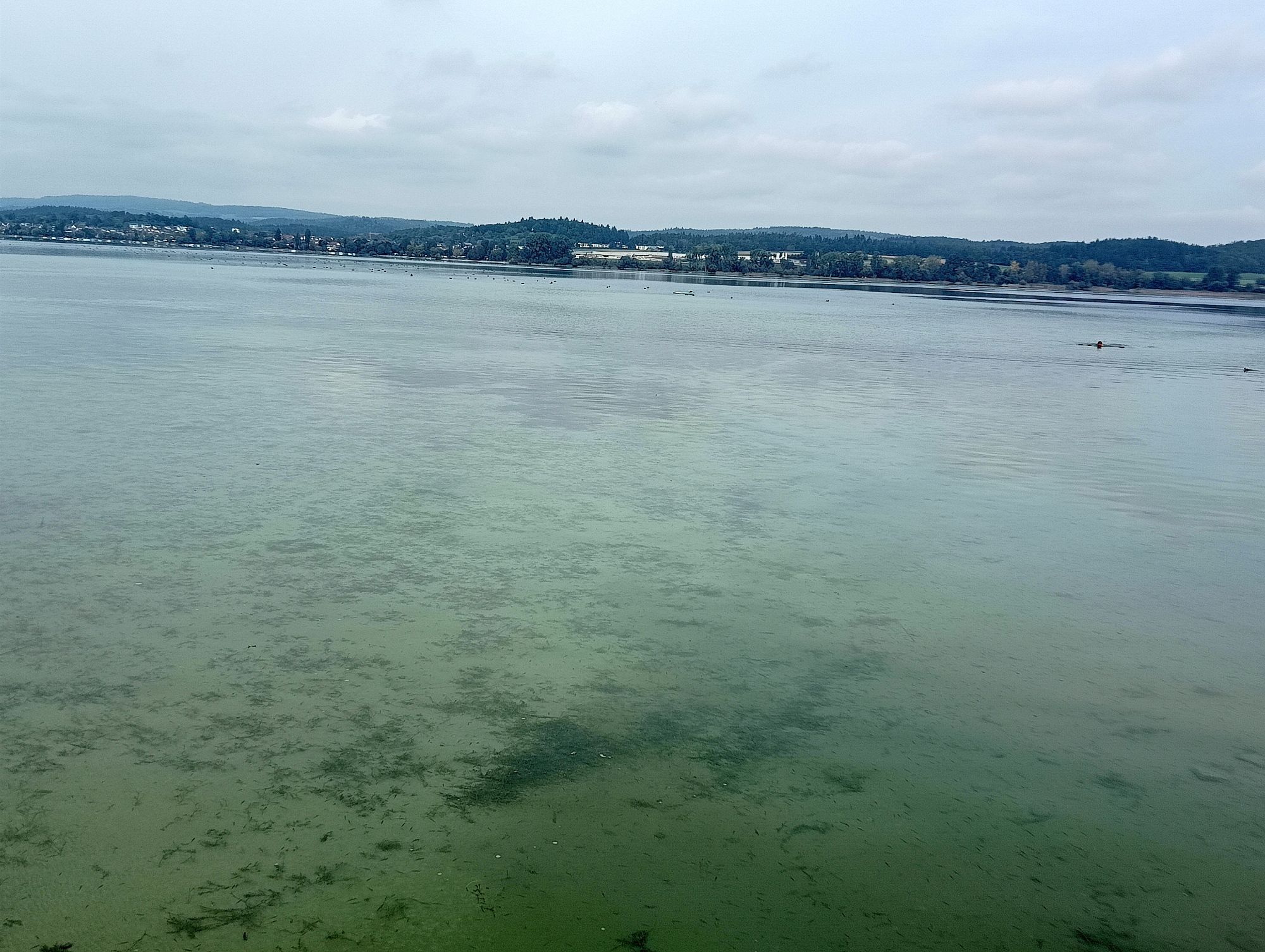
This route touches the southeastern part of the Untersee, the Seerhein, as well as the Wollmatinger Ried. It leads to the sights on the island of Reichenau.

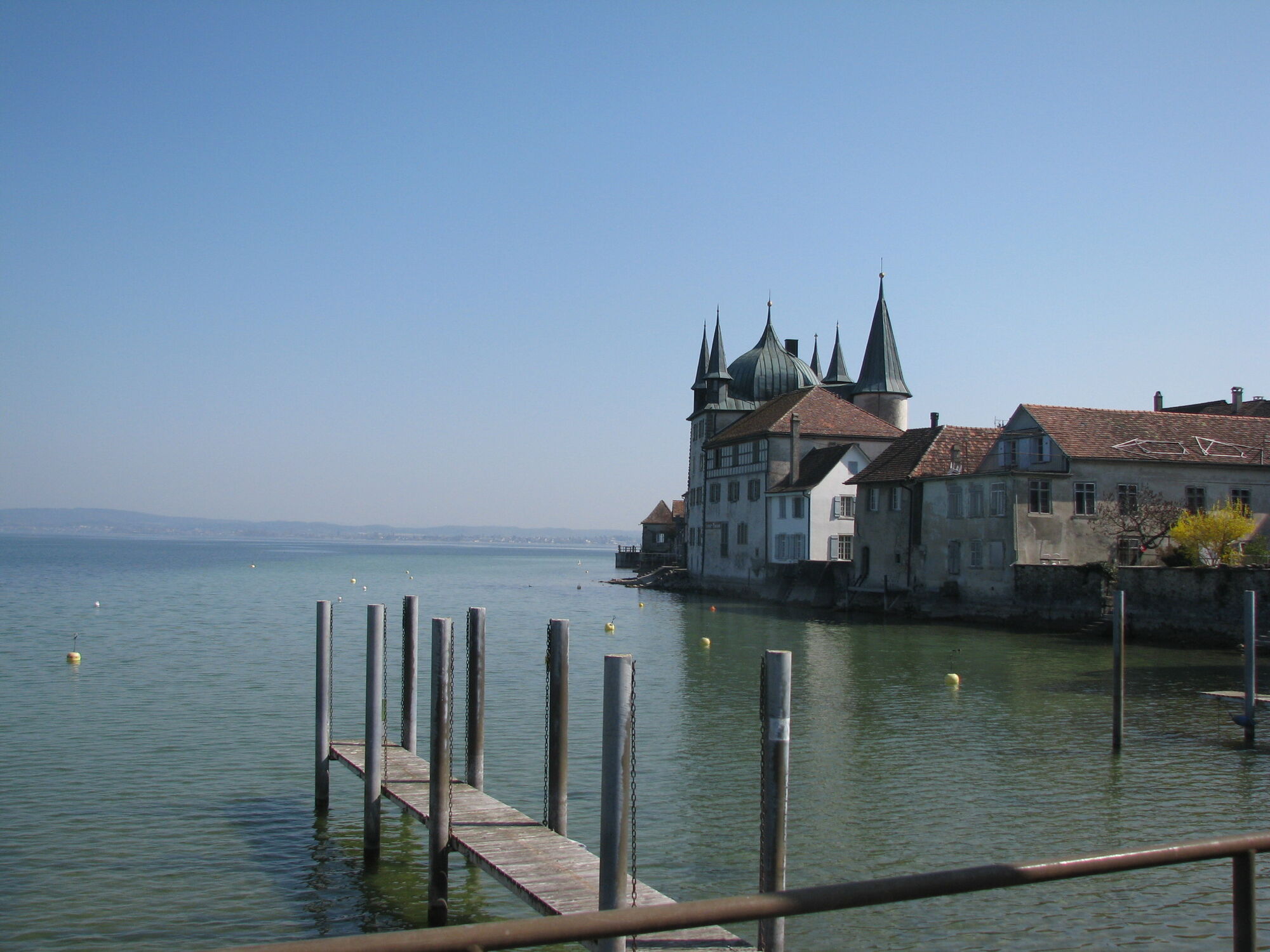
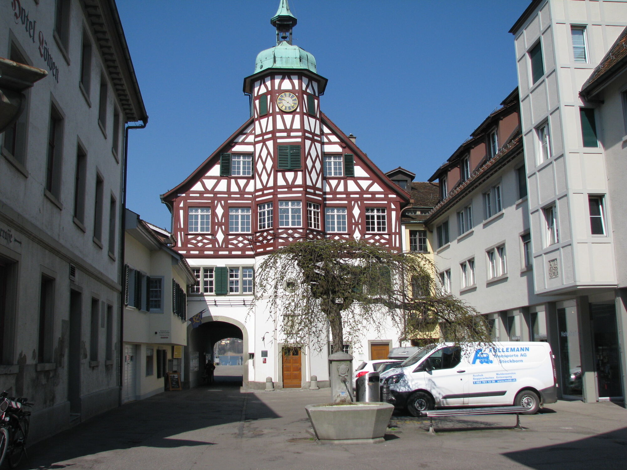
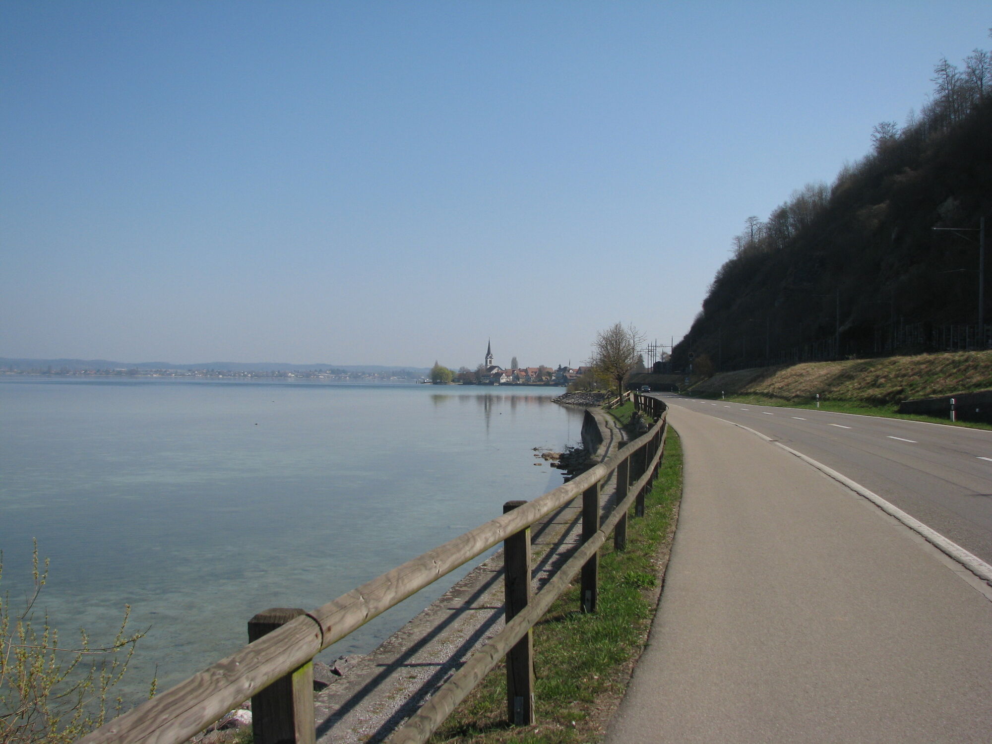
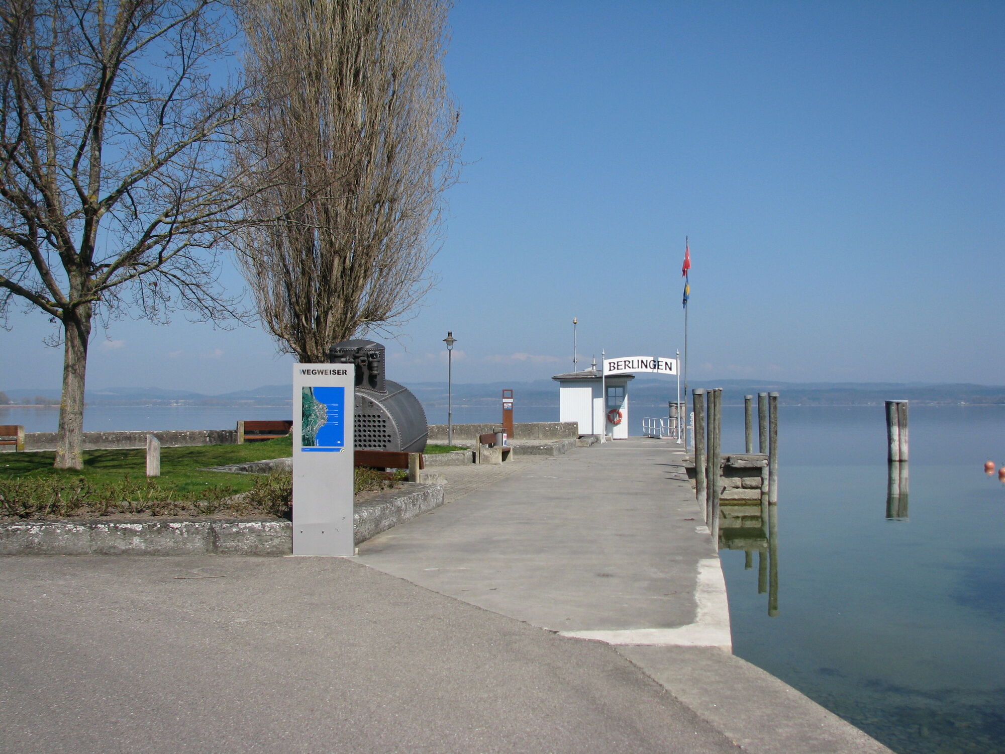
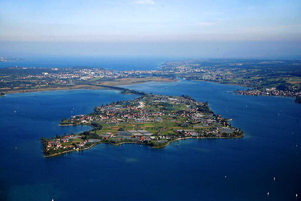
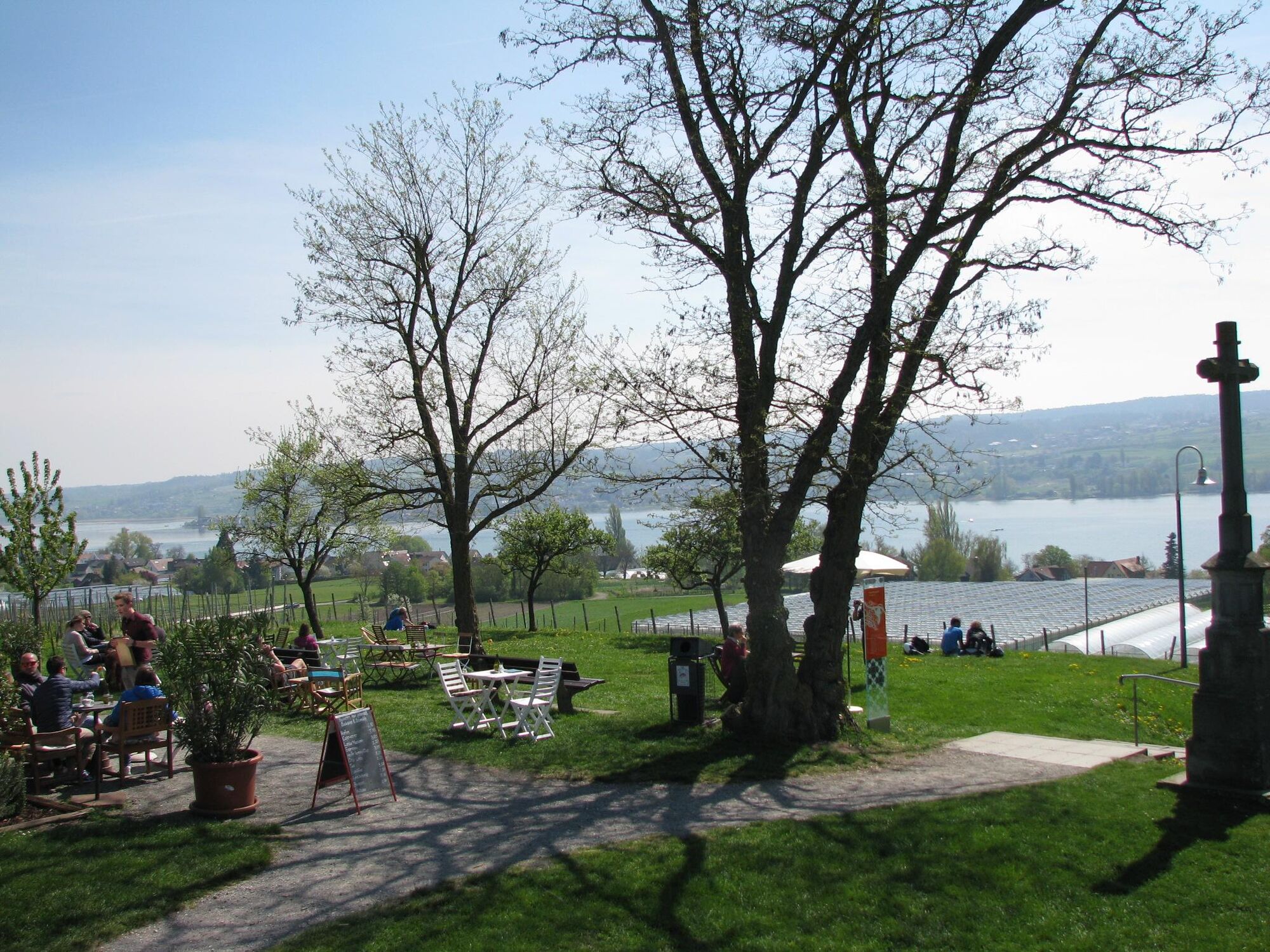

From the Gaienhofen landing stage, take the ship of the Untersee and Rhine Shipping Company to cross to Steckborn, timetable at www.urh.ch. From May to September, the Höri ferry also runs between Gaienhofen and Steckborn, timetable at www.schifffahrtlang.de
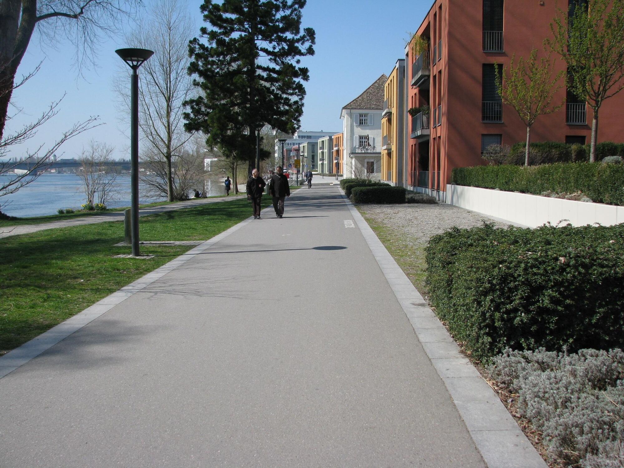
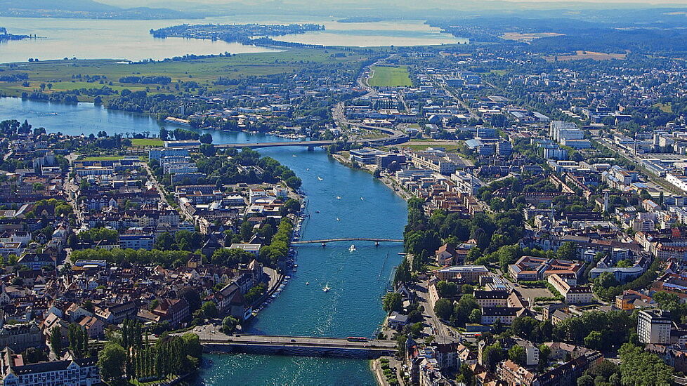
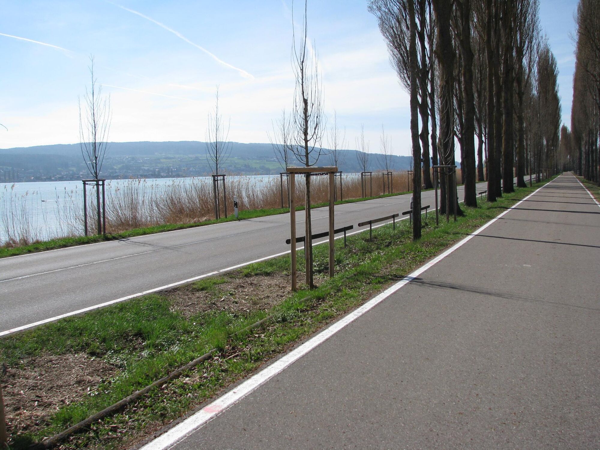
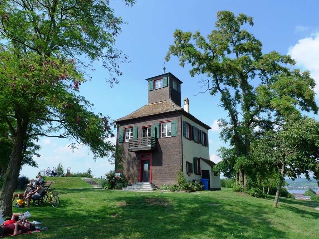
At the end of the town of Steckborn, the well-marked Lake Constance cycle path (direction Kreuzlingen) begins, which you do not leave until the German-Swiss border. Immediately after crossing the border in Konstanz, turn left toward the Rhine bank and follow it under the motorway bridge to the pedestrian bridge, on which you cross the Seerhein. After the bridge, turn left along the promenade to the motorway bridge on the cycle path beside the B33. At the junction to Konstanz-Wollmatingen, turn right and follow the railway line. From here, the cycle path runs next to the railway line to the Kindlebild junction, where you turn toward Reichenau. After the dam, you reach Oberzell and, if you want, the Hochwart (437 m), a great viewpoint in all directions. Depending on the time you have, you can explore the island before returning by ship from Mittelzell to Gaienhofen, timetable at www.urh.ch.
Áno
Carry ID and observe customs regulations
By car via L192 coming from Radolfzell or Stein am Rhein, turn off towards the lake in the center of Gaienhofen at the Evangelical Melanchthon church.
Accessible by ship, see www.urh.ch. Although the Höri bus 7368 stops in Gaienhofen, it does not carry bicycles.
Paid parking available on Schloßstraße. Free parking at Höri-Halle Gaienhofen, Schulstraße
Alternatively, you can return from the Reichenau ship landing stage to Iznang with the VSU scheduled ship. Timetable at www.bsb.de
Webové kamery z prehliadky
-
Allensbach - Gnadensee / Bodensee
-
Lipperswil
-
Konstanz Fährehafen
-
Bootshafen Seegarten Kreuzlingen
-
Windcam Surfplatz Steckborn
-
Gaienhofen-Horn, Kirchgasse
-
Staad, Segler-Verein Staad
-
Webcam vom LAGO Shopping-Center in Konstanz am Bodensee
-
Steigenberger Inselhotel
-
Steigenberger Inselhotel
-
Steigenberger Inselhotel
-
Allensbach am Bodensee
-
Steigenberger Inselhotel
-
Staad, Segler-Verein Staad

Obľúbené výlety v okolí
-
4,0
Vom Bahnhof Konstanz entlang des Bodenseeufers zur Insel Mainau
strednáTuristika 10,4 km -
5,0
Mindelsee-Runde
svetloTuristika 7,83 km -
4,0
Around the island of Reichenau
svetloTuristika 10,9 km -
4,7
Meersburg - Rebgut Haltnau - Schlosskirche - Kapelle "Zum Frieden"
strednáTuristika 11,3 km -
5,0
Überlingen, Baden-Württemberg
svetloTuristika 9,12 km -
4,0
Circular hike Gaienhofen-Middle Höri
strednáTuristika 12,6 km -
5,0
Natur & Kultur - Rundtour entlang des Überlinger Sees
svetloCyklistika 32,7 km -
Nature enjoyment on the circular hiking route with a view of Freudental Castle
svetloTuristika 5,67 km -
5,0
From Konstanz around the island of Reichenau (Lake Constance)
strednáCyklistika 28,7 km -
3,0
Around Lake Überlingen
strednáCyklistika 67,2 km
Turistika a stopovanie


Nenechajte si ujsť ponuky a inšpiráciu na ďalšiu dovolenku
Vaša e-mailová adresa bol pridaný do poštového zoznamu.





