


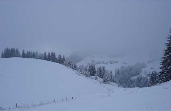
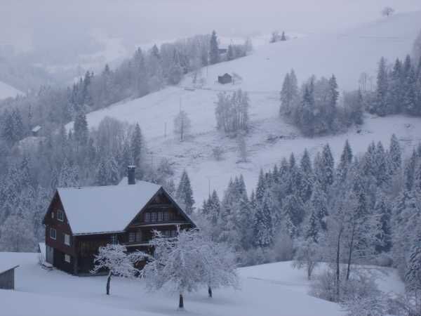
Snowshoe tour Hemberg - Mistelegg - Ritteren - Hemberg
A wonderful hike through the snowy landscape and pure nature. Forest sections are traversed and you walk along the old ski slope of the former Hemberg ski lift. To the left along the border of Appenzell...
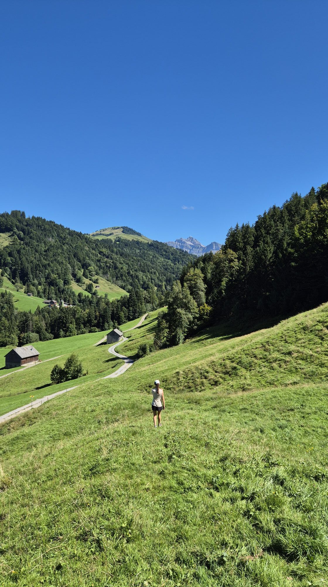
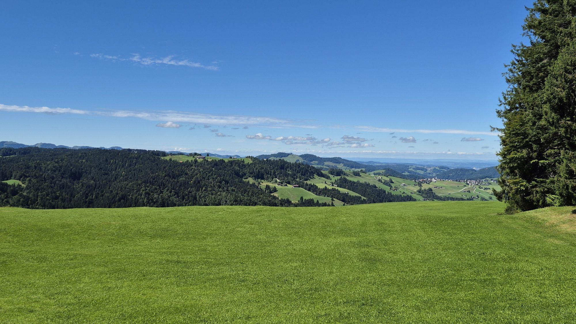
A wonderful hike through the snowy landscape and pure nature. Forest sections are traversed and you walk along the old ski slope of the former Hemberg ski lift. To the left along the border of Appenzell Ausserrhoden leads the current circular route. The Necker also flows past on the left and occasionally you can hear the rushing downstream. Slowly going uphill faster until the turning point back towards Mistelegg follows and now the forest side changes. And the last climb is on the same path as you came, reaching the village center of Hemberg again.
Pure nature.

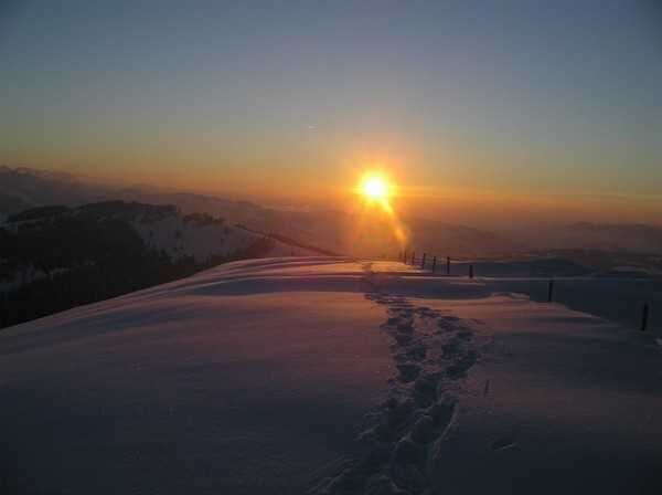
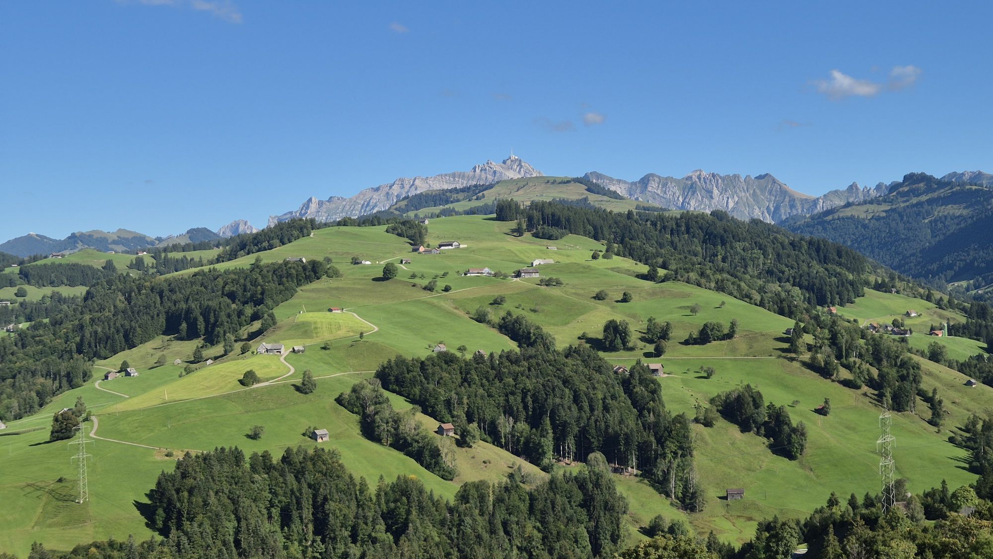
The route starts in the village center of Hemberg heading towards Gäwis. At the left fork, follow to the boarding school and take the next right turn to Gschwand and Mistelegg. The path leads downhill over meadows and a forest clearing. The old ski slope of the former Hemberg ski lift is crossed until the Alpstöbli is reached. After the restaurant, the path continues further to the right. And now a large forest awaits, the Neckerwald. To the left of it, the path runs parallel to the Necker close to the border with Appenzell Ausserrhoden. Uphill to Tolenecker, where the Neckerwald ends. Back again along the Neckerwald, but on the other side of the forest until the highest point at 1200m is reached. Along the forest back to Mistelegg. And now follows the same way back as you came uphill. The last climb is rewarded with great catering options in the village of Hemberg.
Route progression:
Hemberg - Gäwis - Mistelegg - Tolenecker - Hellenritterli - Ritteren - Geren - Mistelegg - Gäwis - Hemberg
Áno
Snowshoes, telescopic poles with large baskets, day hiking backpack (approx. 30 liters) with rain cover, comfortable and waterproof winter shoes or sturdy hiking boots that fit into the snowshoe bindings, possibly gaiters, warm and durable clothing in layers, ski jacket and pants, hat / headband, scarf, gloves, possibly ski goggles, sun and rain protection, provisions and drinking water, thermos flask with hot drink, first aid kit, pocket knife, mobile phone, possibly headlamp and reflectors, map material
Please note that the route is neither marked nor signed on site.
Via Wil, Ganterschwil, Brunnadern, St. Peterzell, the village of Hemberg is reached. From St. Gallen Winkeln via Herisau, Schönenrund, Bächli to Hemberg.
You can reach Hemberg by public transport with the train to Wattwil and from there further by post bus.
There are some parking spaces available in the village center of Hemberg. However, we recommend arriving by public transport as the route starts directly in the center.
Toggenburg Tourism
Hauptstrasse 104
CH-9658 Wildhaus
Tel: +41 (0)71 999 99 11
E-mail: info@toggenburg.swiss
Internet: www.toggenburg.swiss
Webové kamery z prehliadky
Obľúbené výlety v okolí
-
4,9
Säntis-Gipfeltour, Wasserauen / Appenzell Innerrhoden
ťažkéTuristika 21,1 km -
4,6
Schwägalp - Berggasthaus Tierwies - Girenspitz - Säntis
ťažkéTuristika 4,83 km -
4,8
Mountain route over Rotsteinpass to Säntis
ťažkéTuristika 8,53 km -
4,5
Amden - Speer (Rundkurs)
svetloTuristika 17,6 km -
4,6
Säntis
strednáHorská turistika 17,5 km -
3,3
Winter hiking Wildhaus-Gamplüt circular route
strednáZimná turistika 7,73 km -
4,7
Jakobsbad - Berggasthaus Kronberg und Bergstation - Kronberg - Restaurant Scheidegg
strednáTuristika 12,0 km -
4,9
Kronberg - Schwaegalp
svetloTuristika 5,90 km -
4,5
Hike to Zwinglipass
ťažkéTuristika 14,4 km -
4,5
Winter hiking Wintersagenweg Toggenburg
strednáZimná turistika 8,72 km

Turistika a stopovanie


Nenechajte si ujsť ponuky a inšpiráciu na ďalšiu dovolenku
Vaša e-mailová adresa bol pridaný do poštového zoznamu.