







Snowshoe route to the Selun

Úroveň náročnosti: WT3
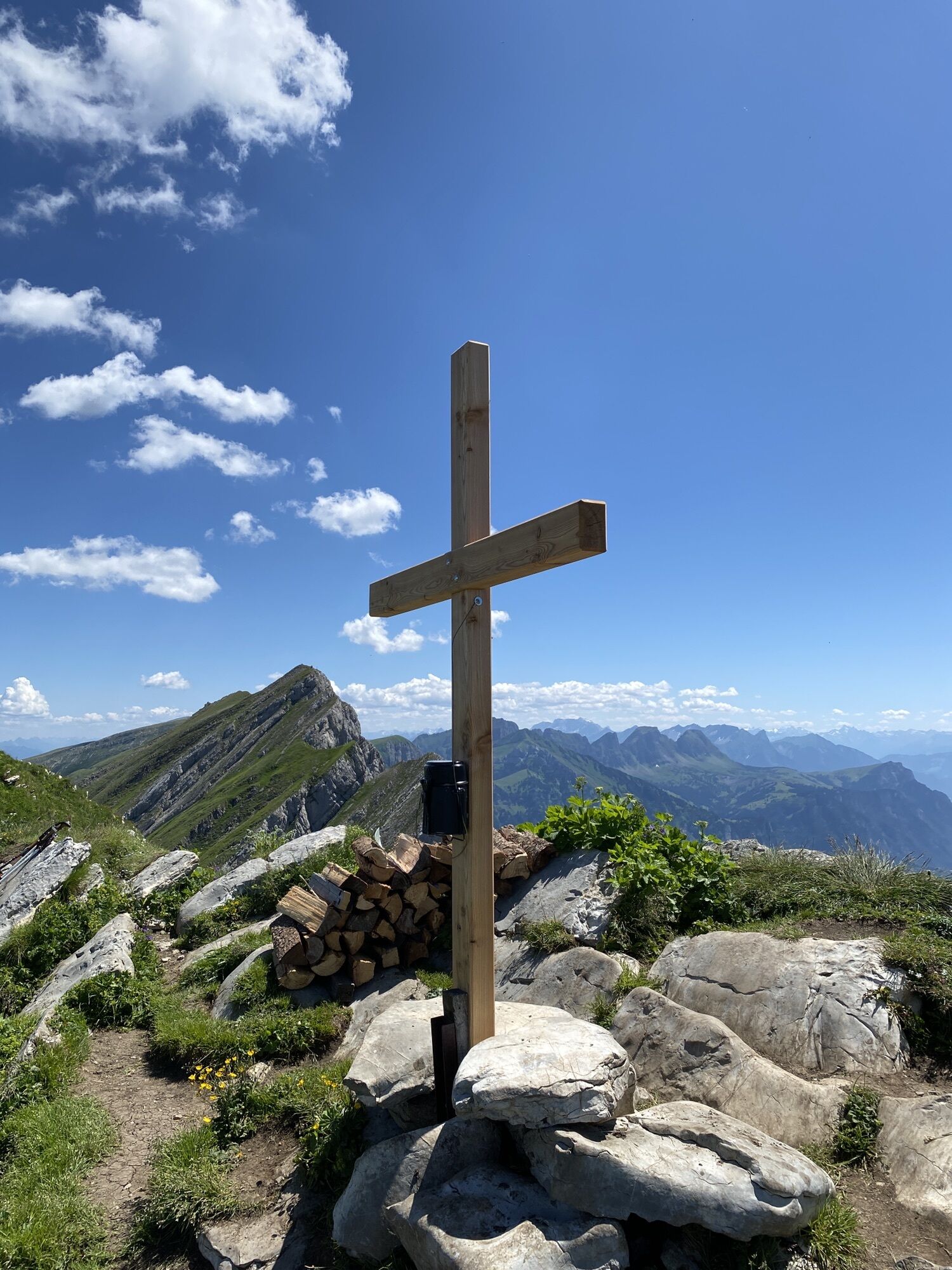
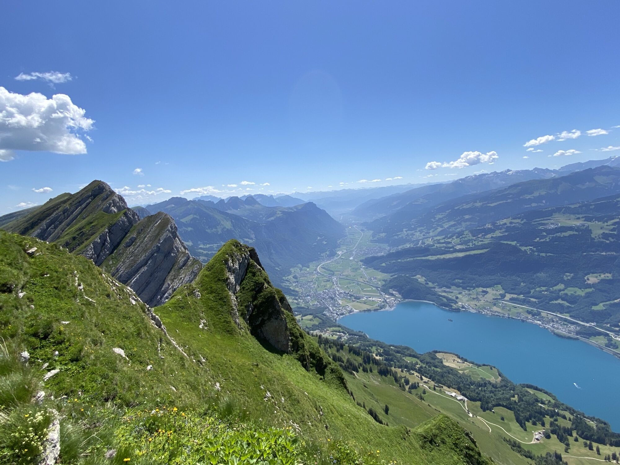
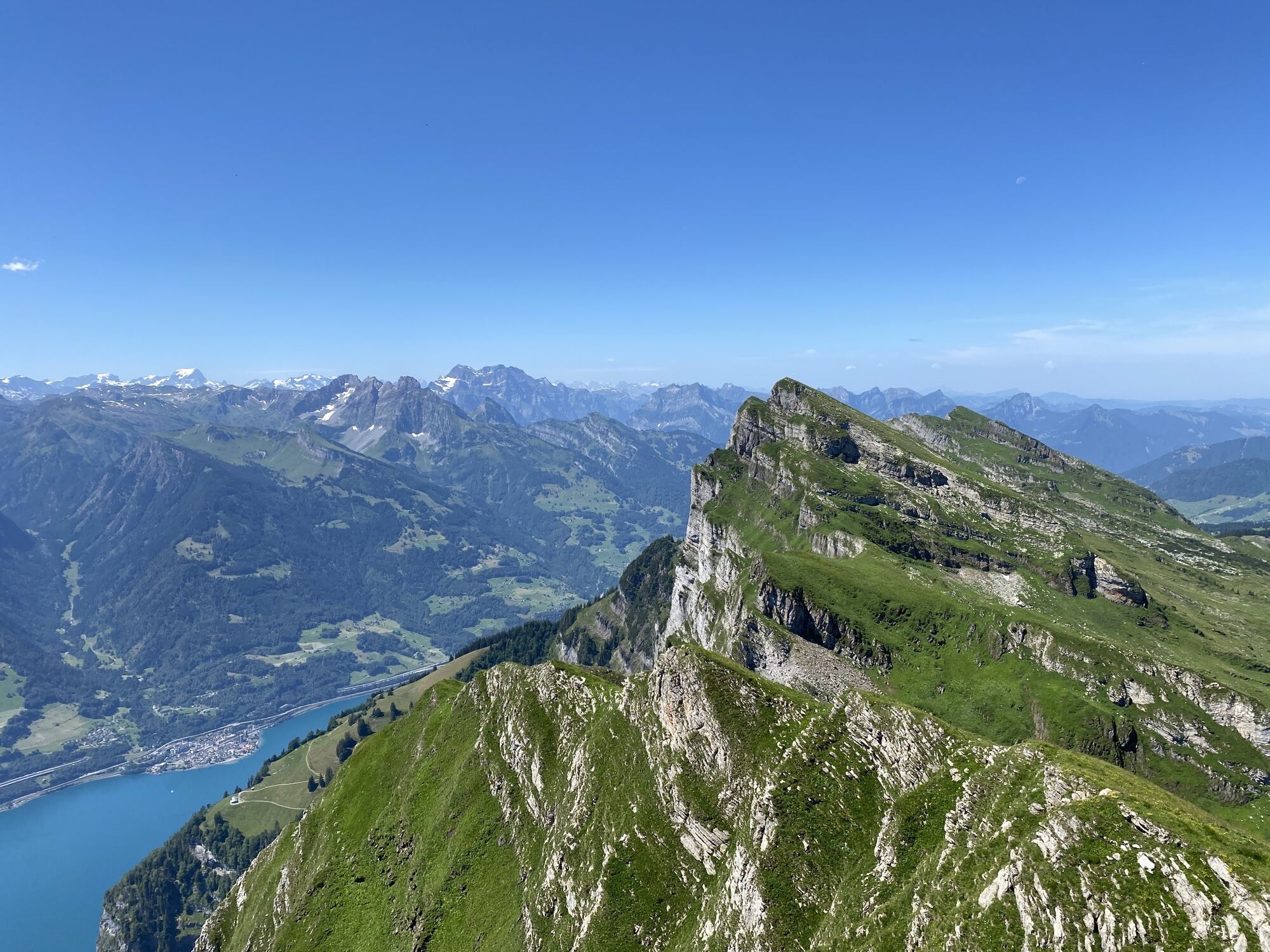
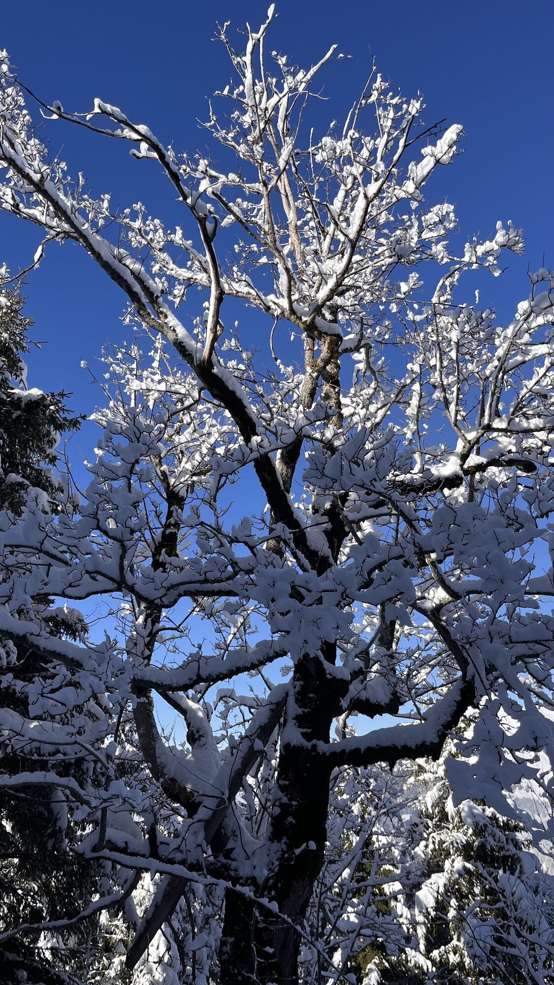
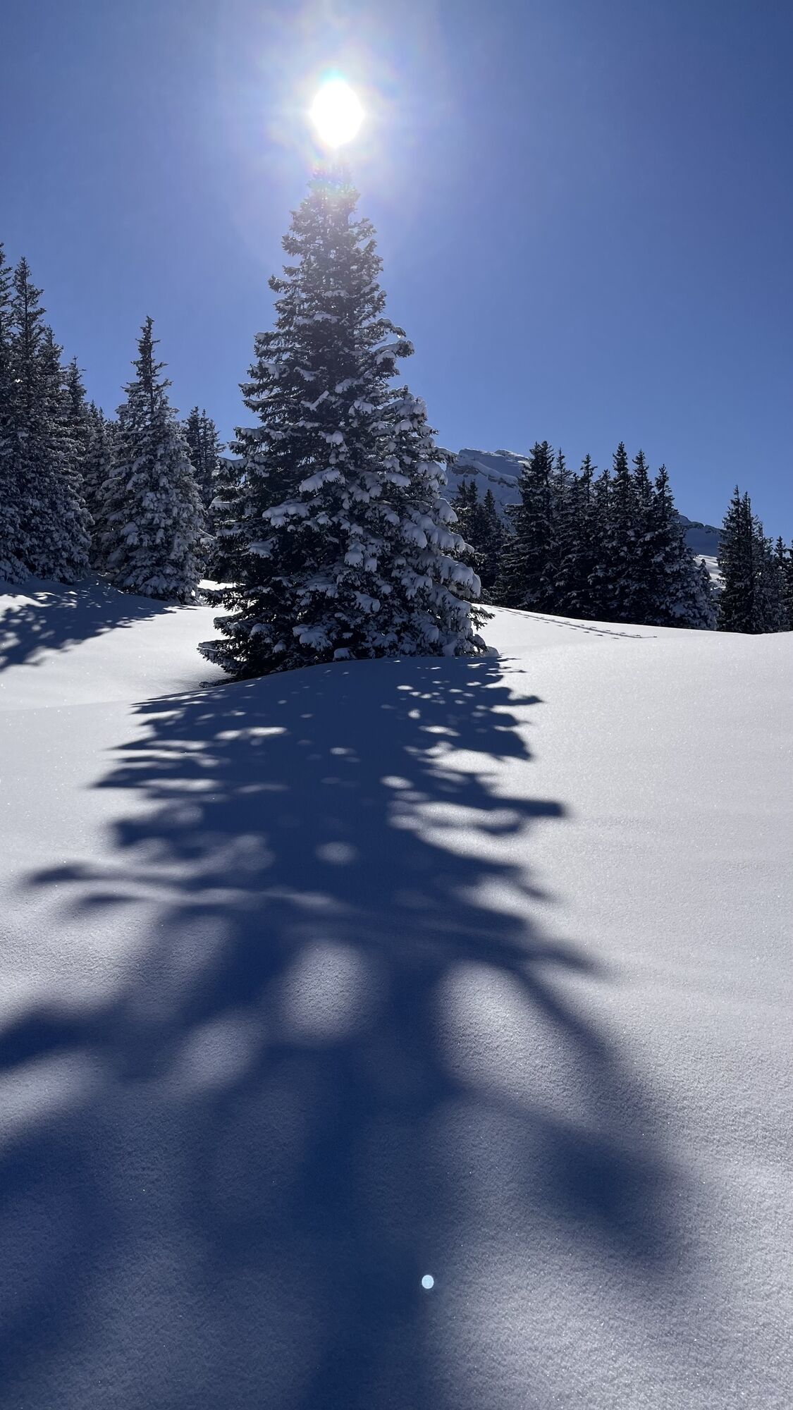
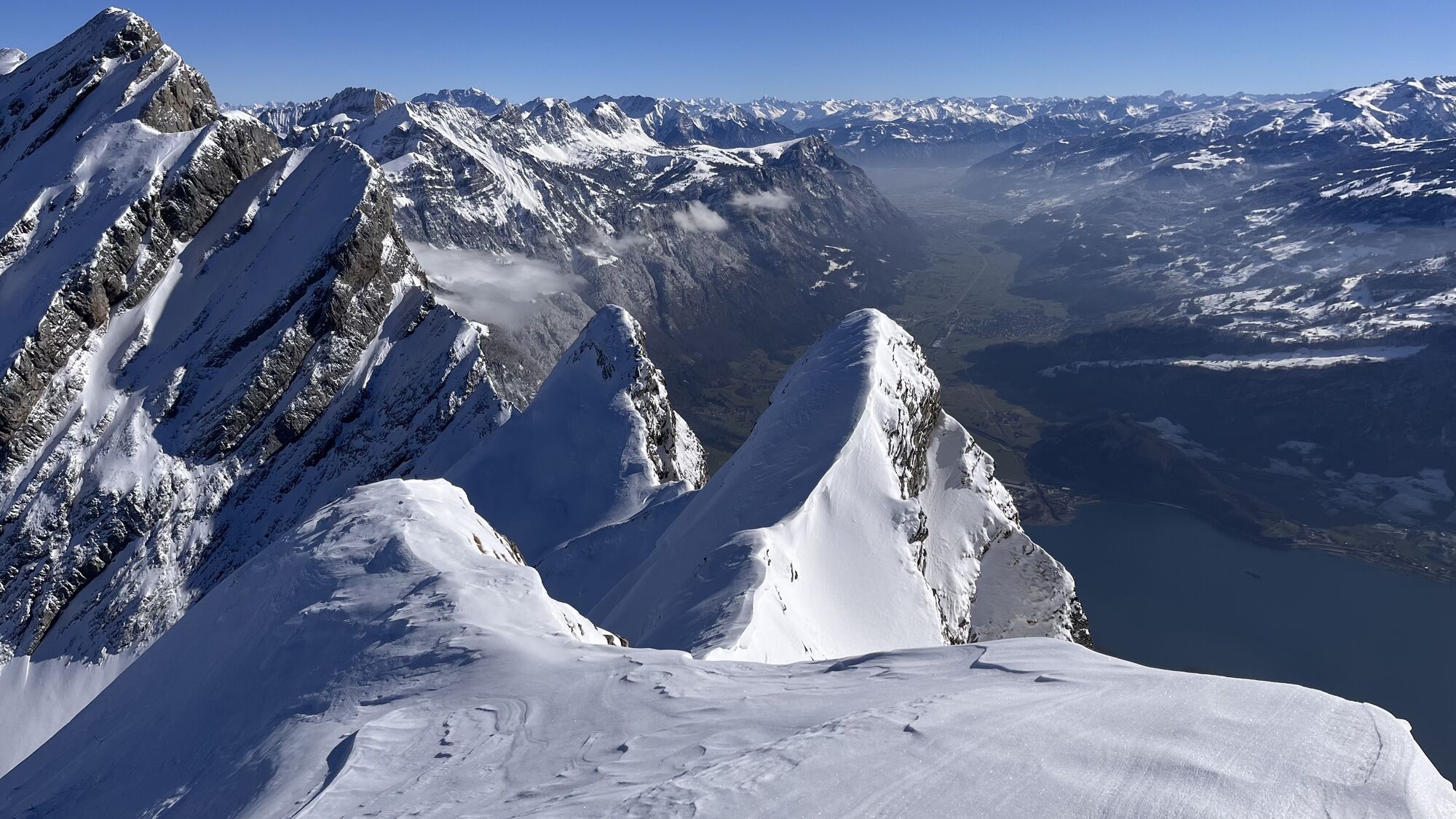
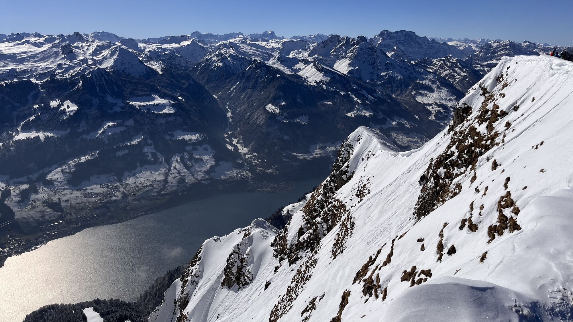
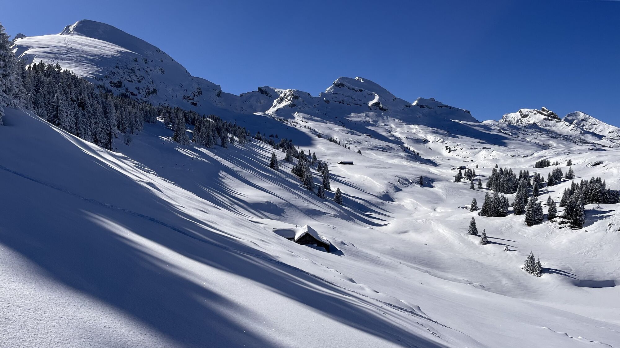
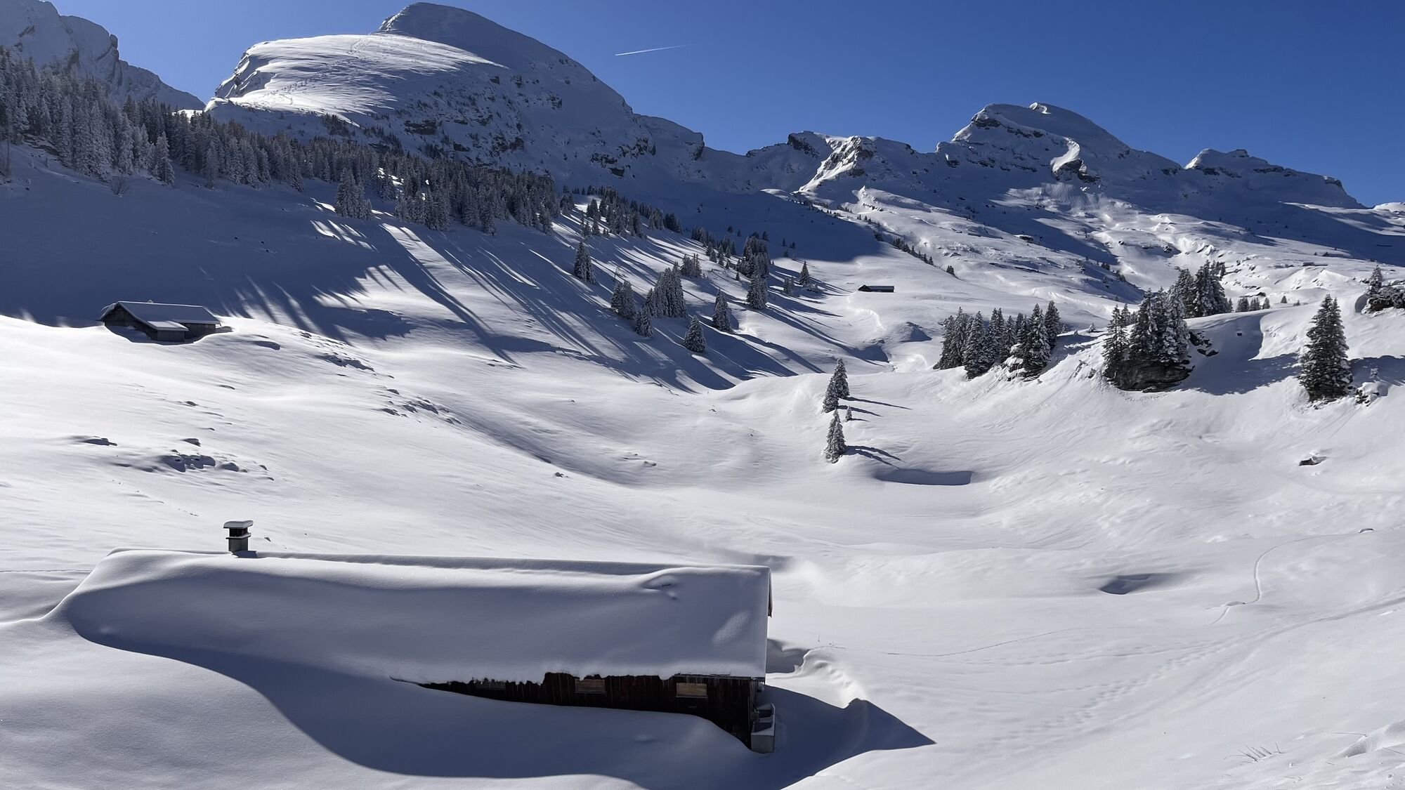
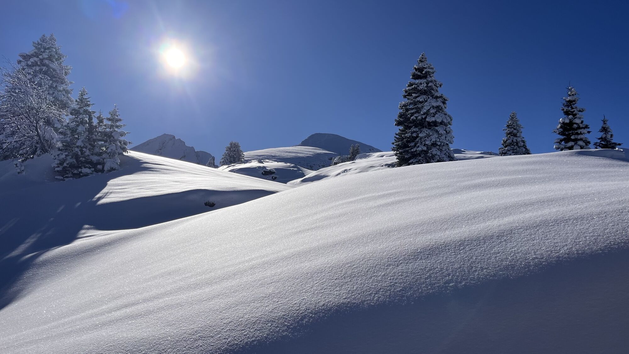
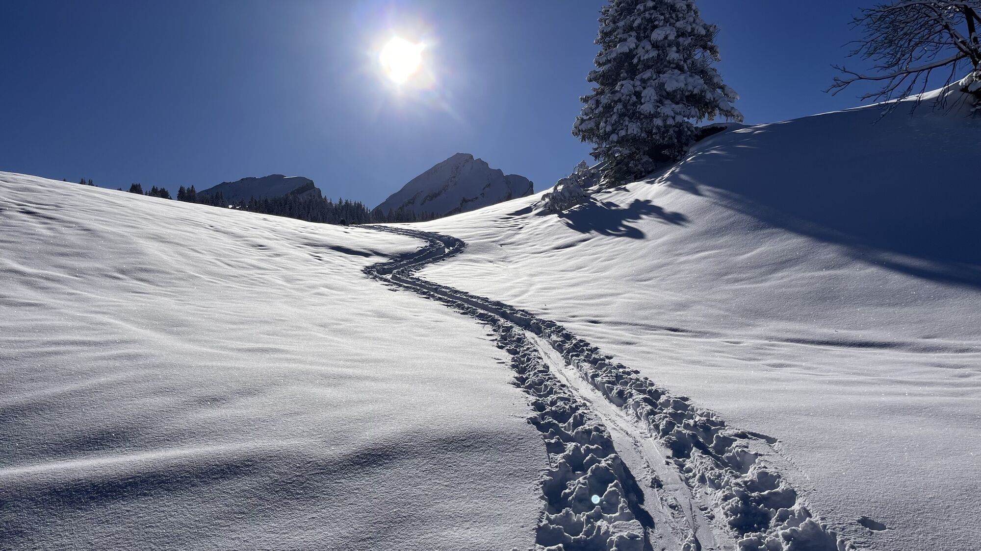
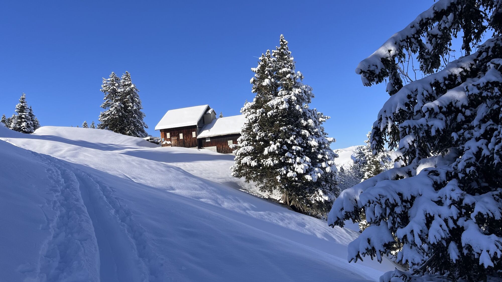
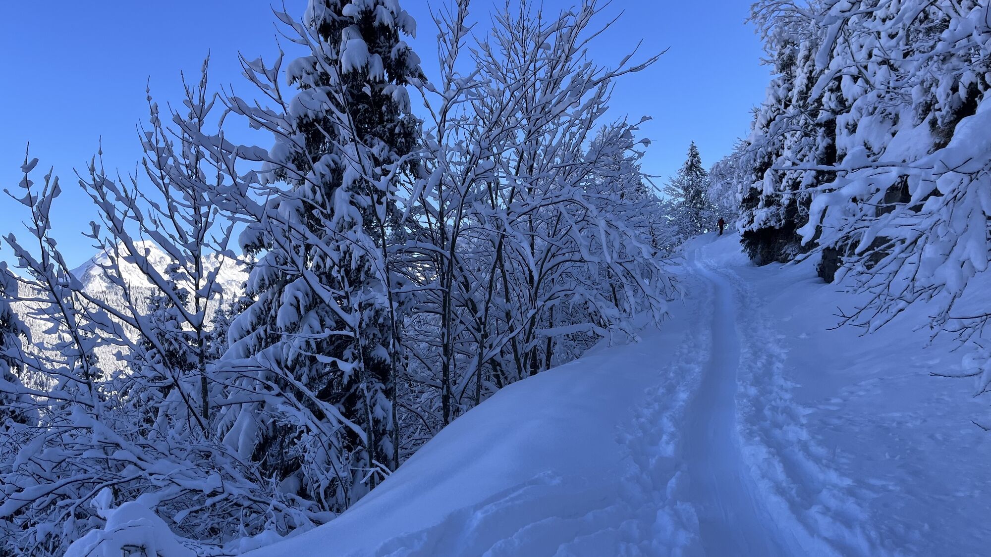
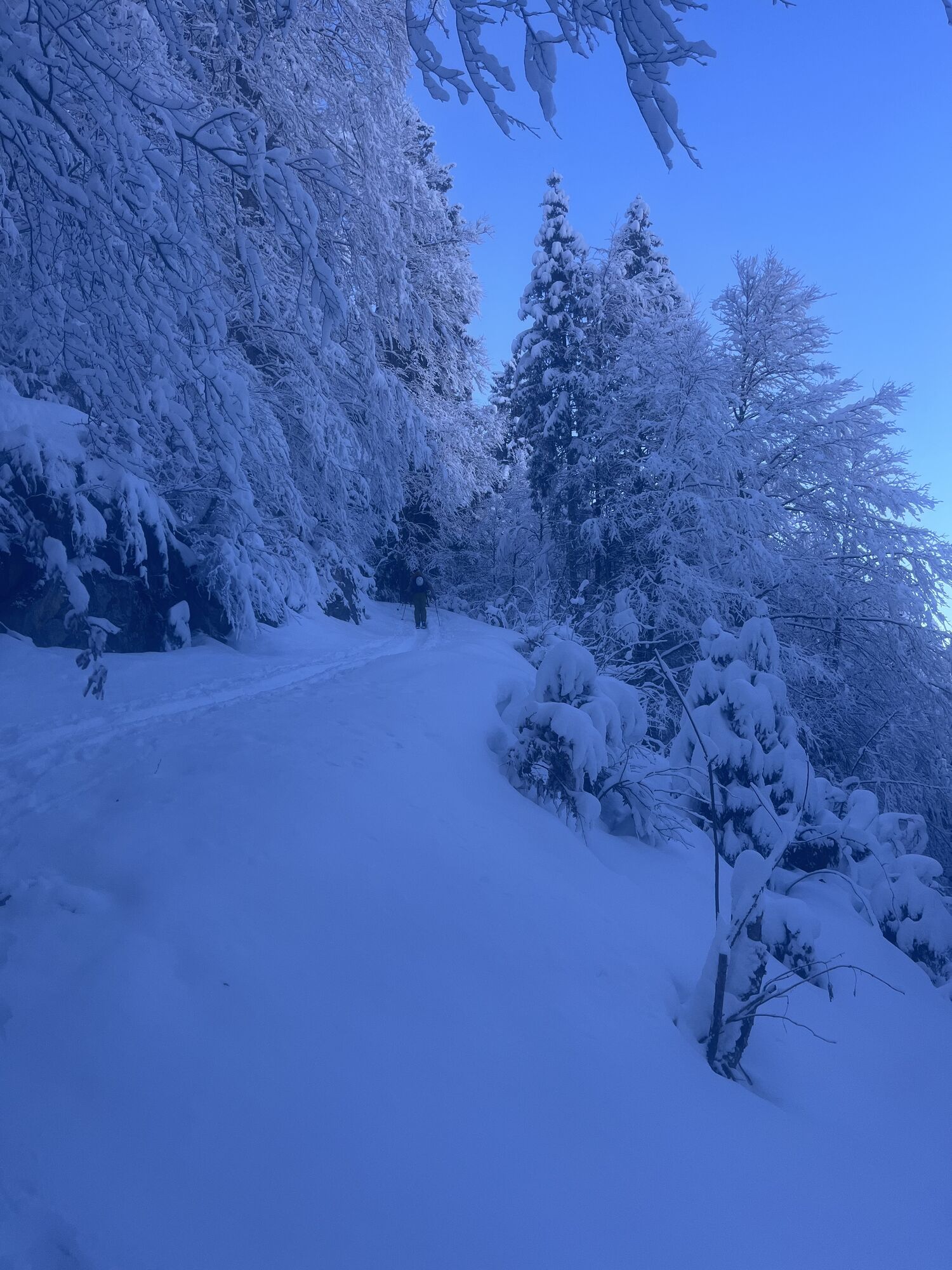
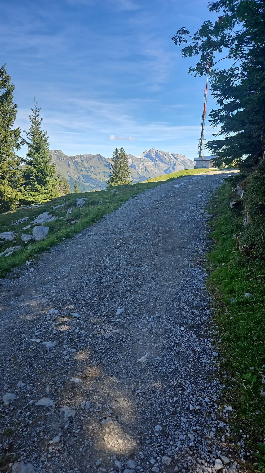
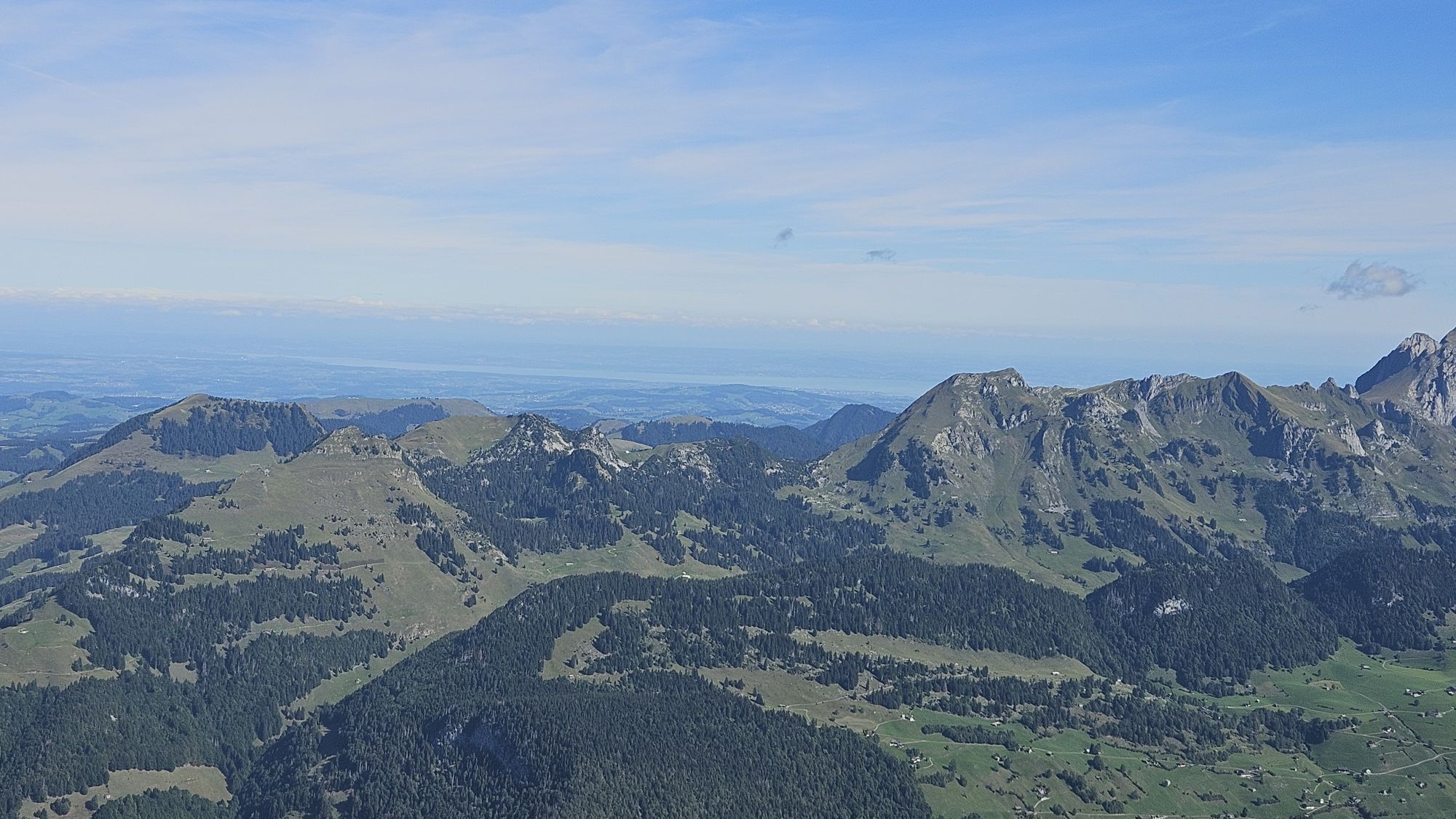
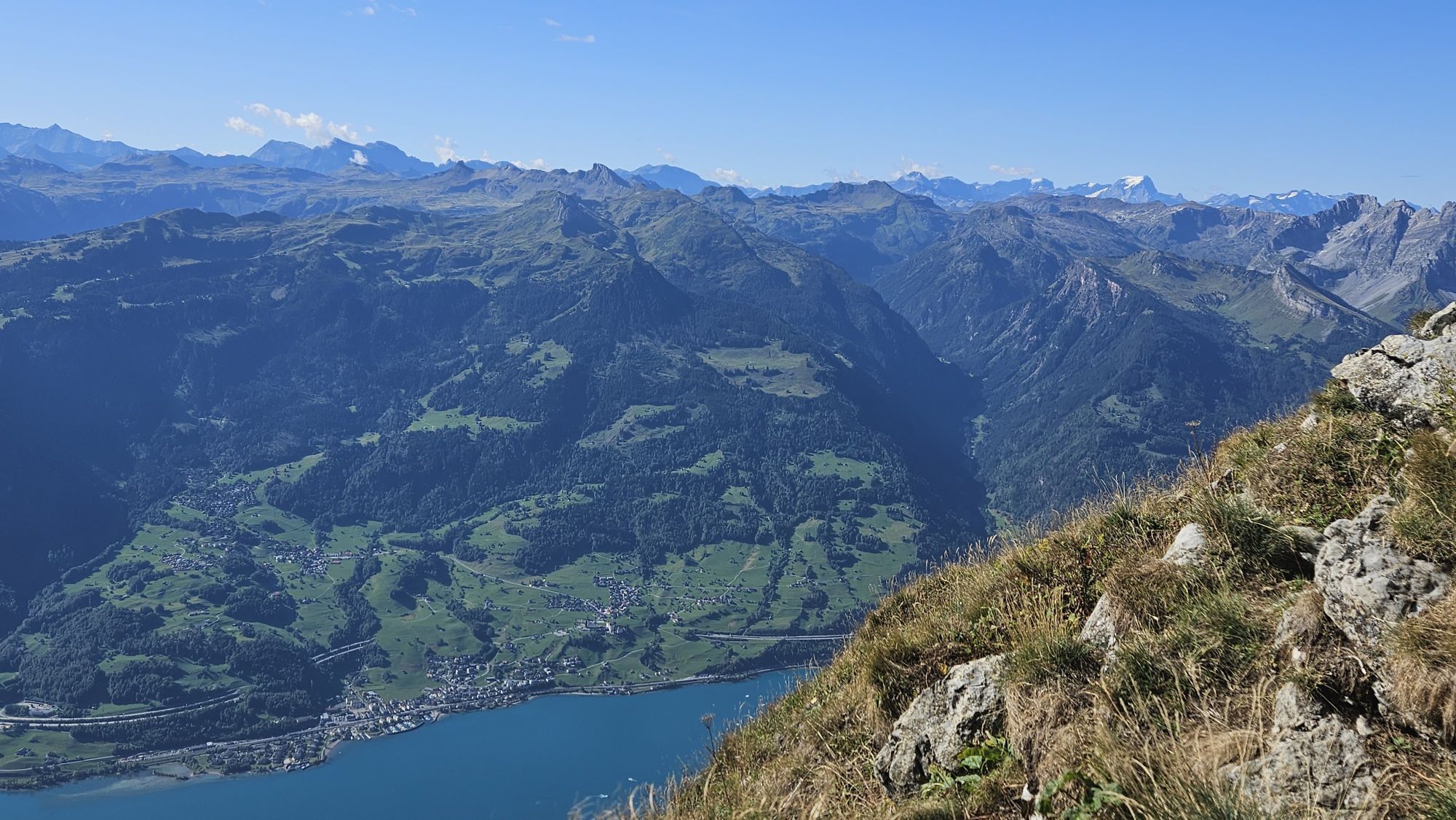
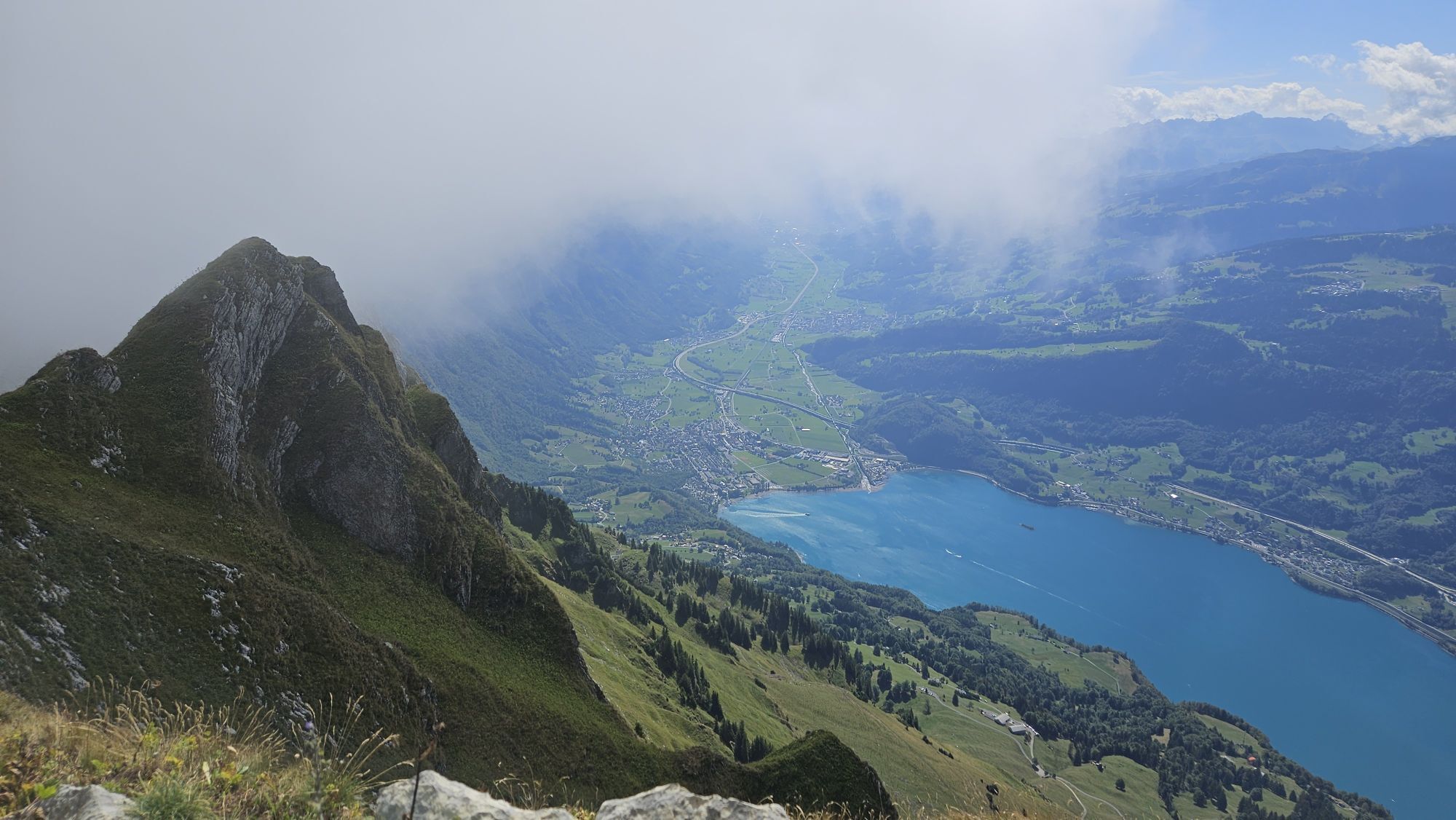
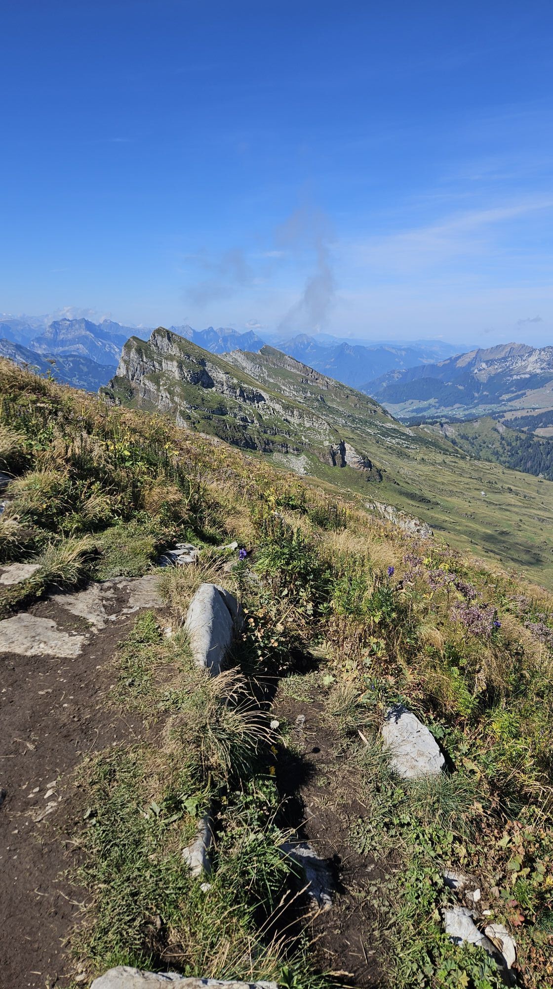
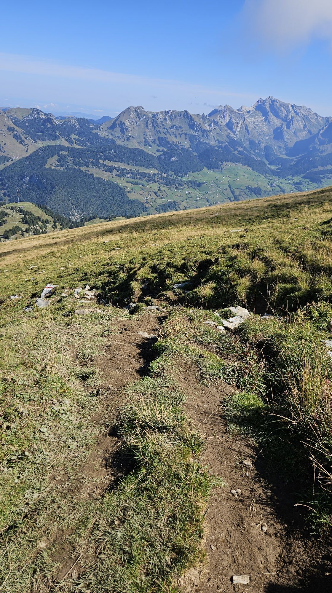
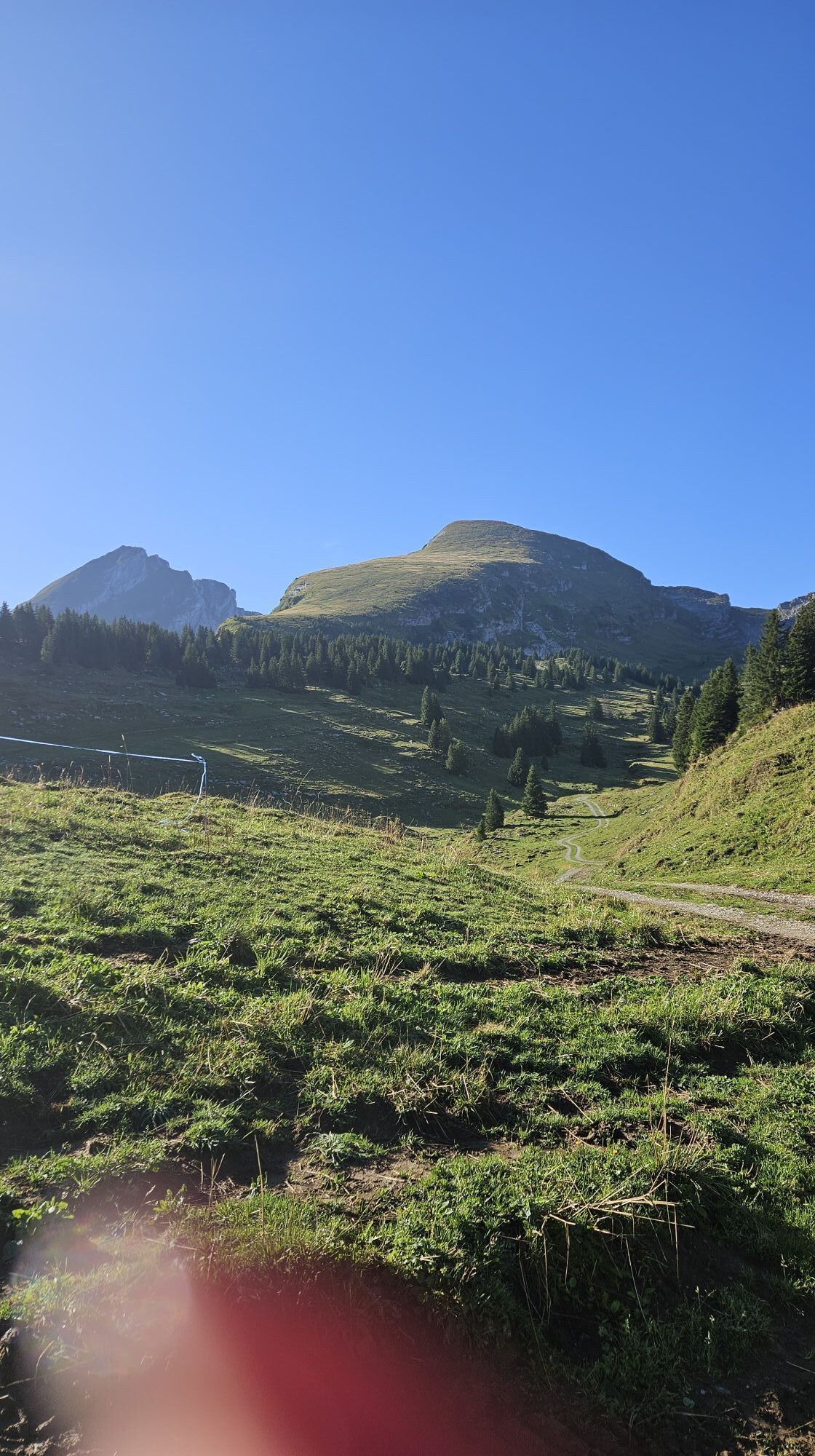
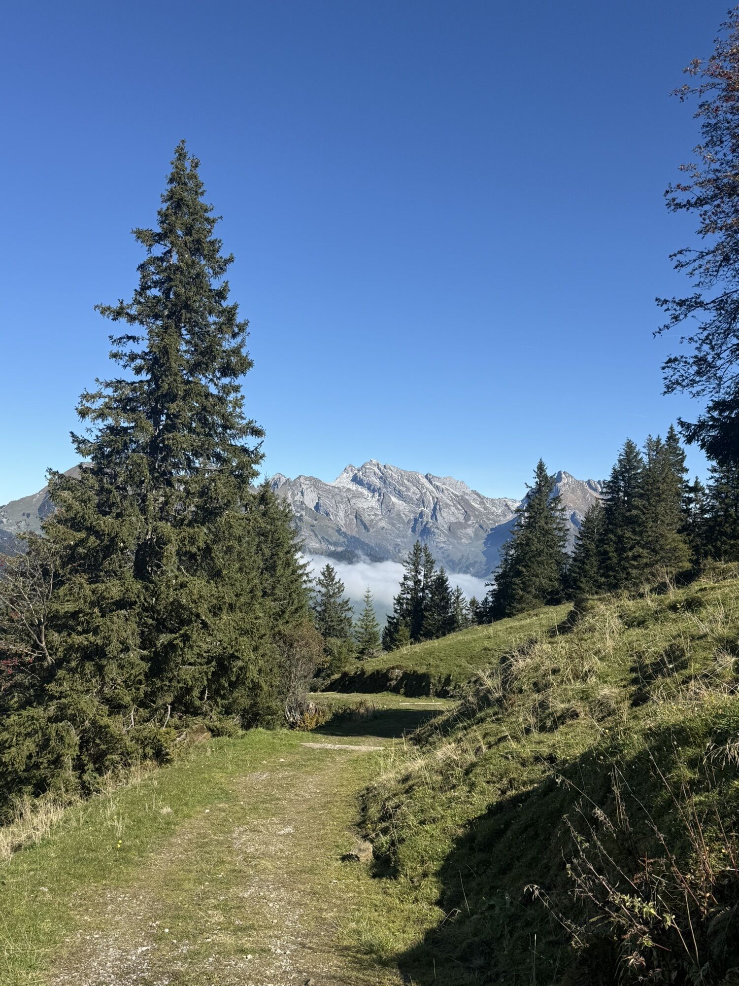
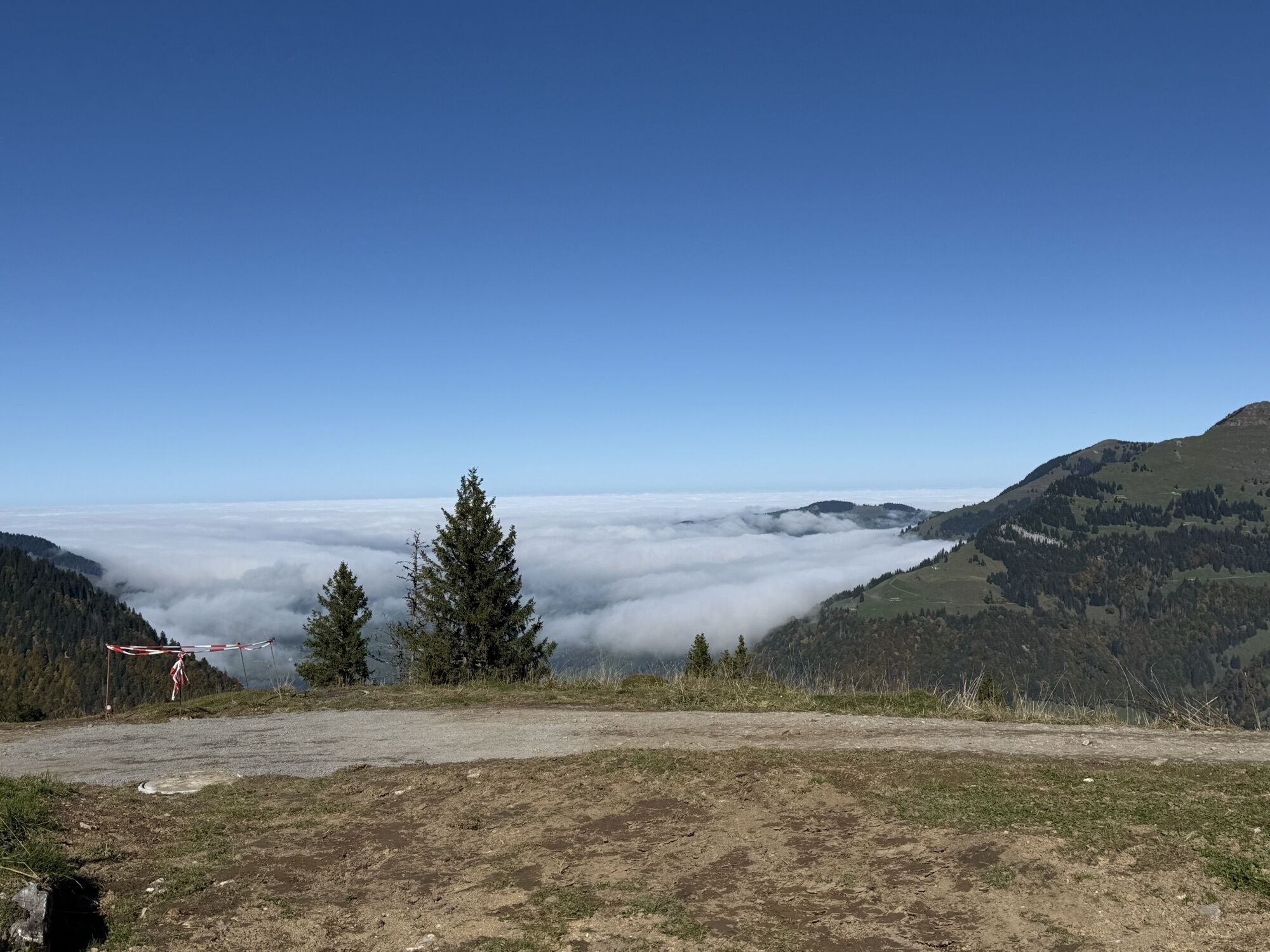
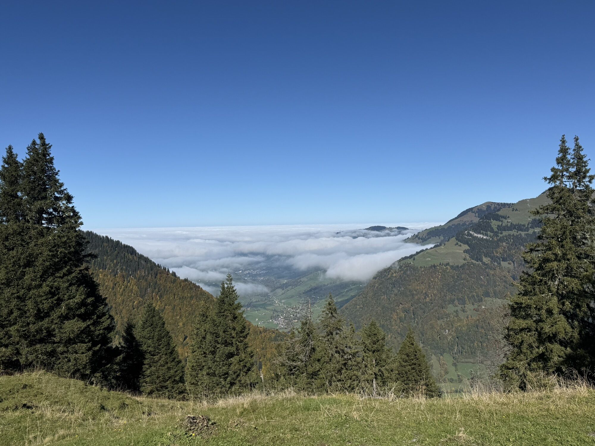
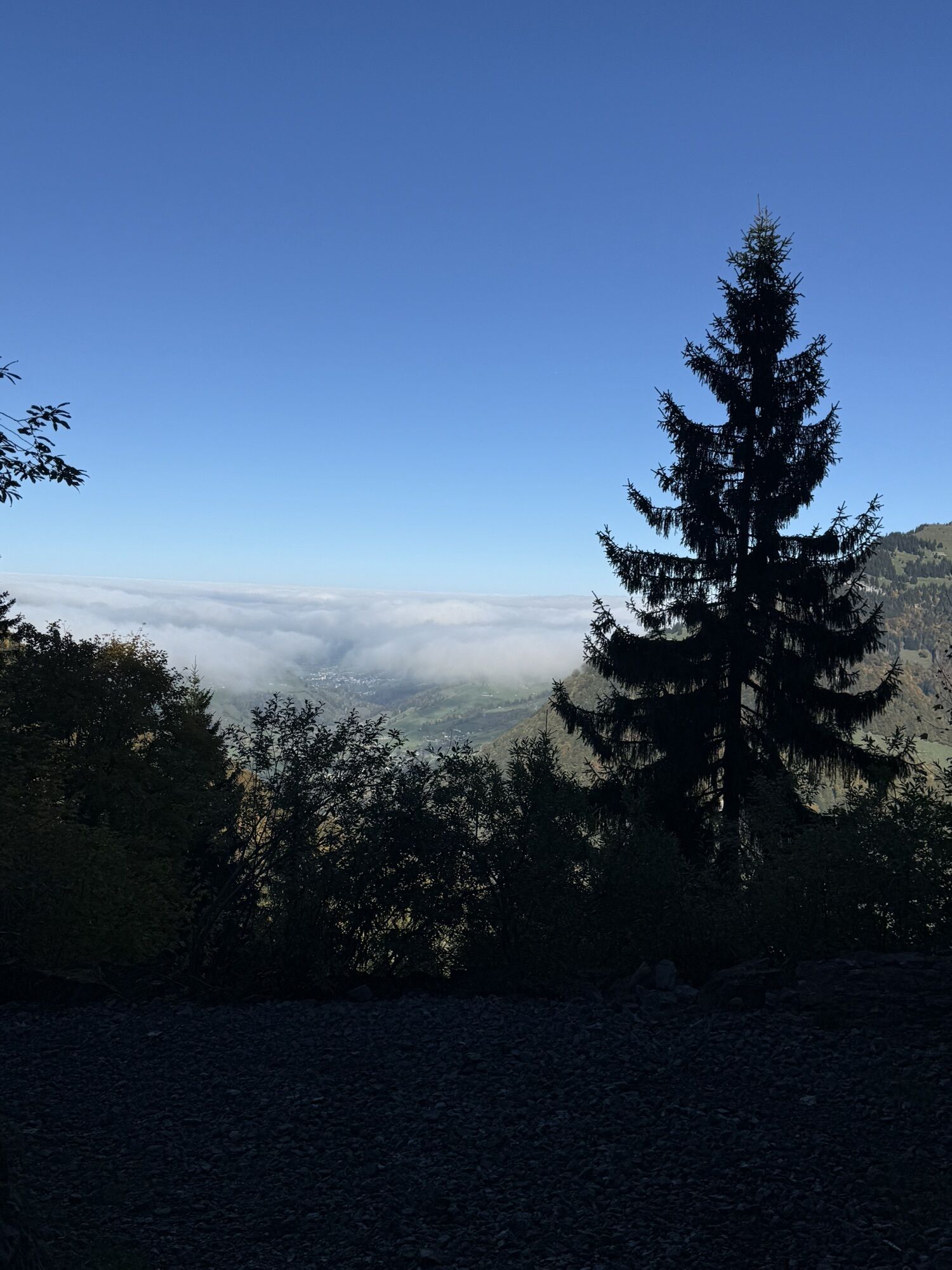
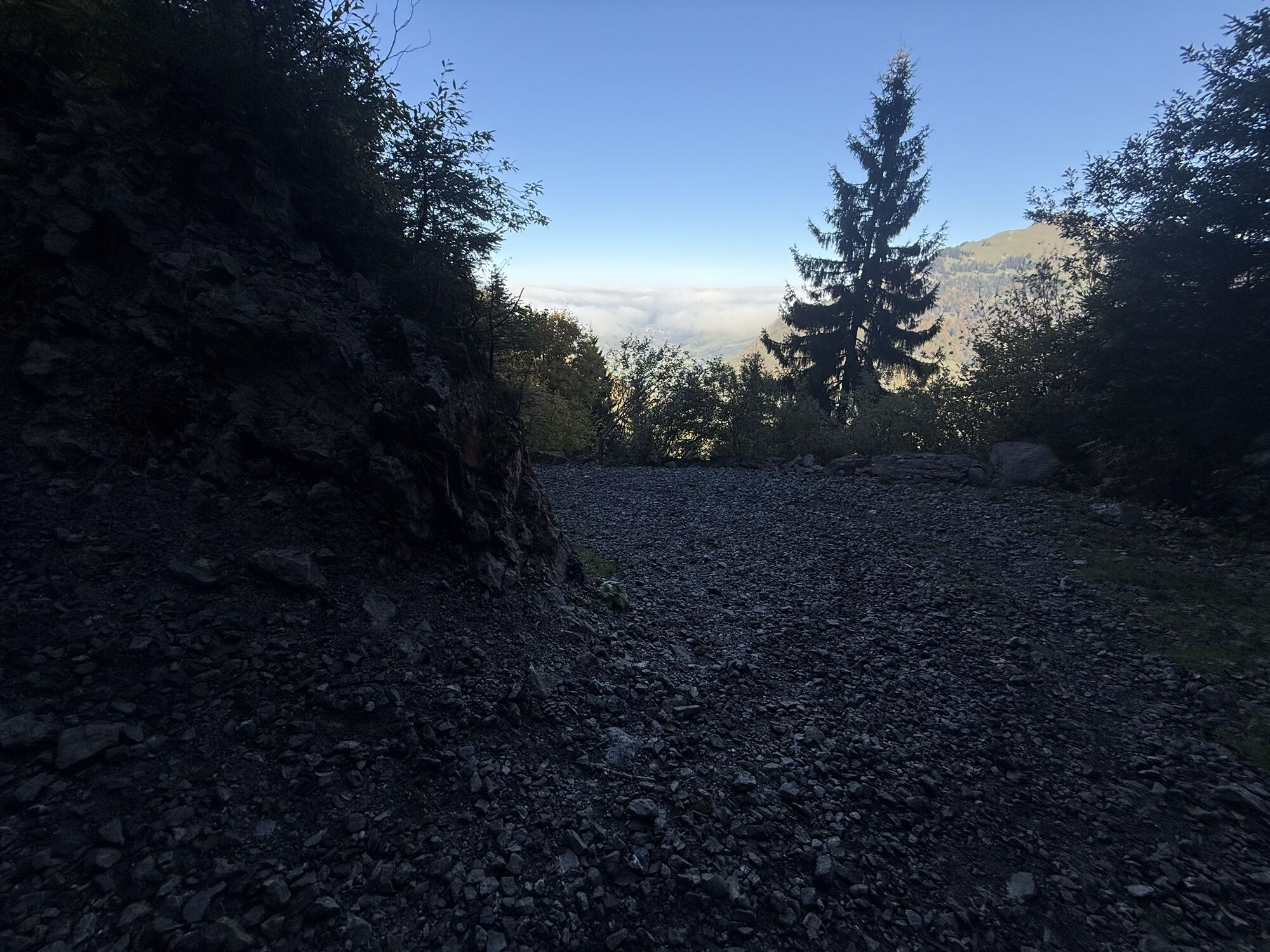
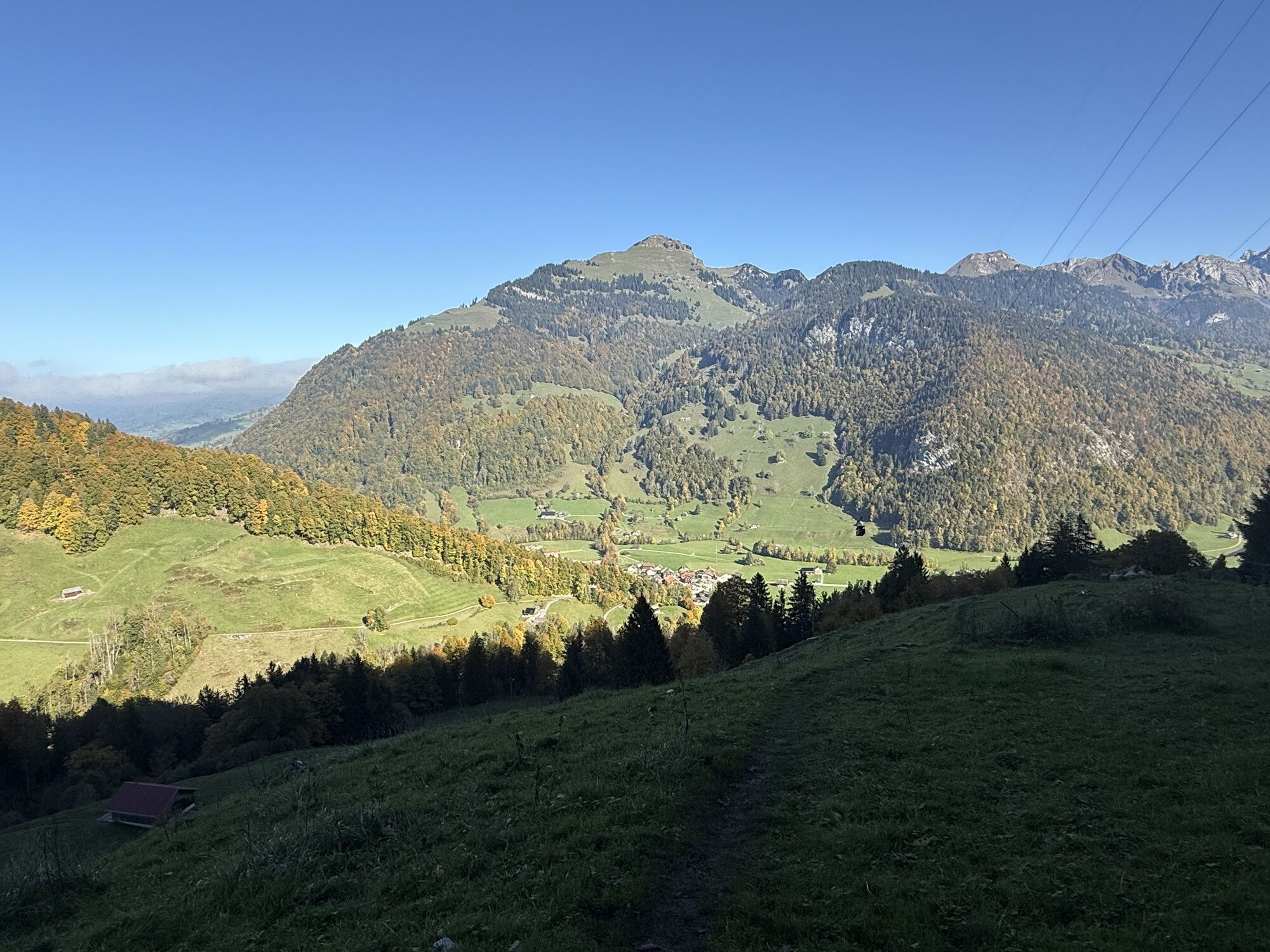
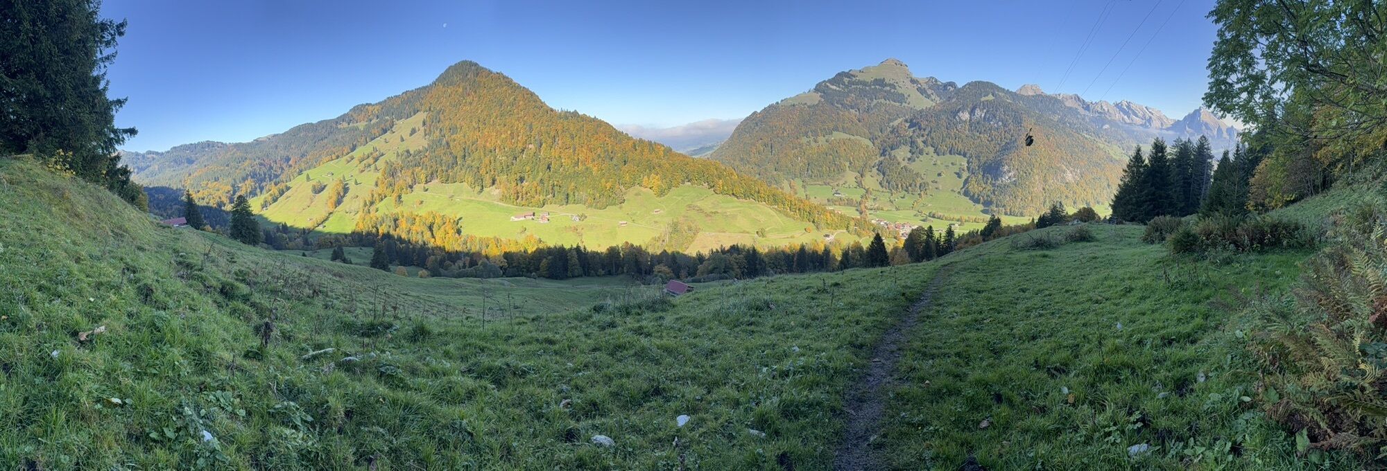
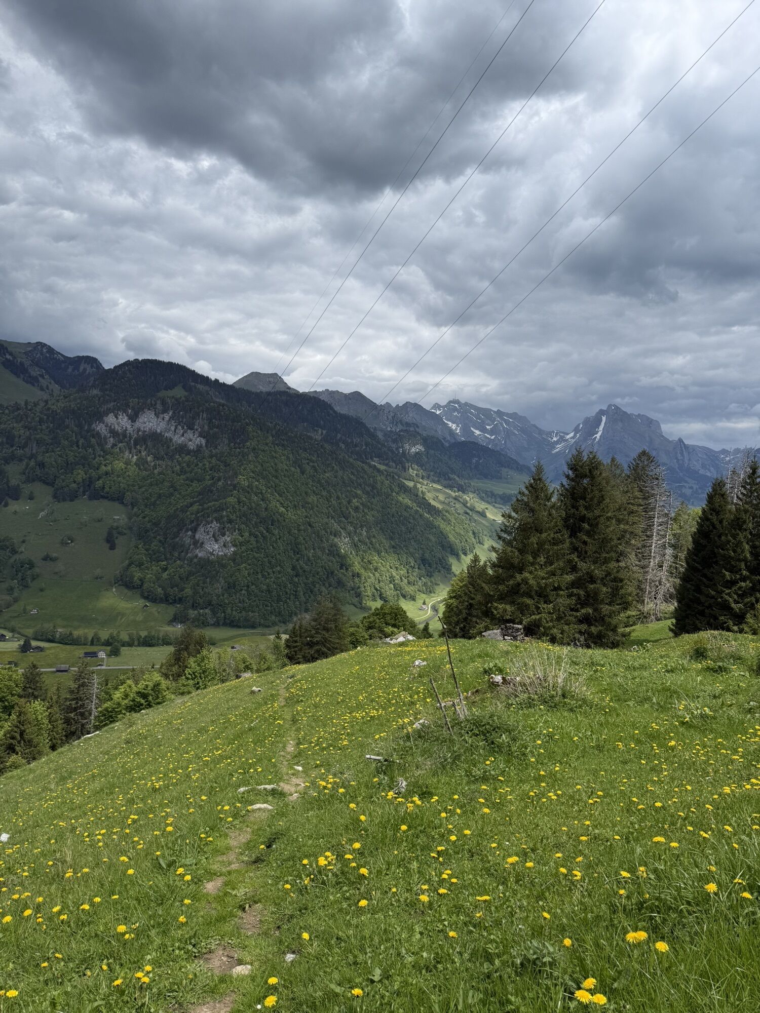
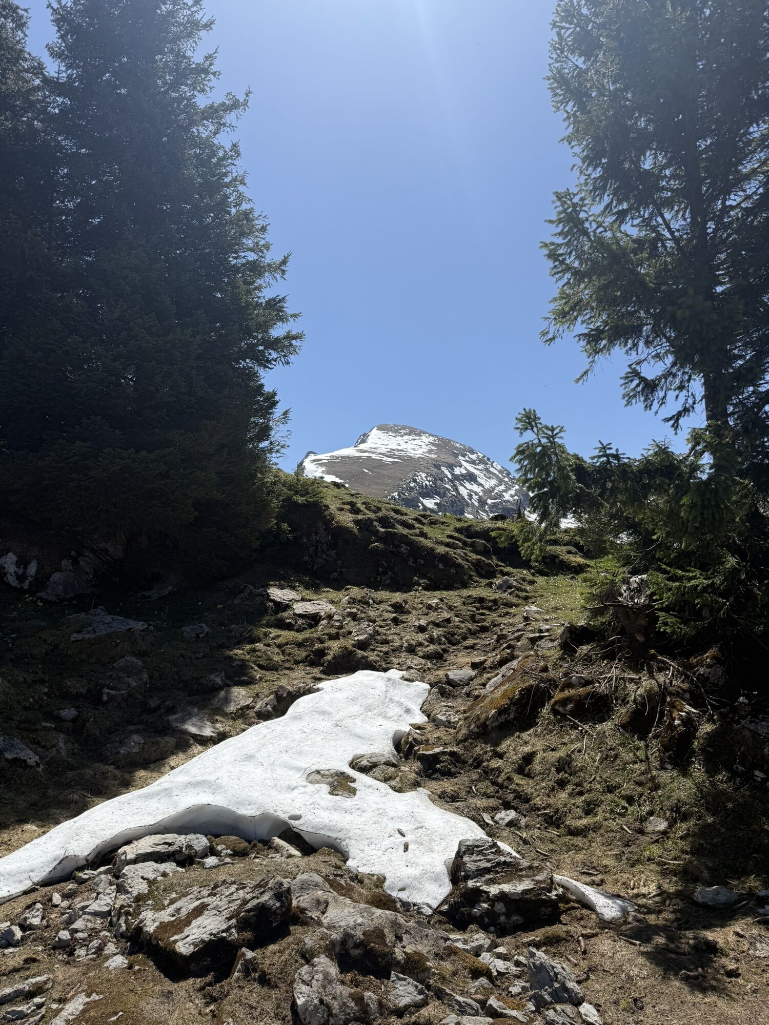
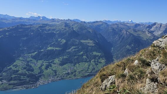
Climb a Churfirsten with snowshoes? The Selun offers the perfect opportunity for this. The ascent is rewarded with an impressive view down on Lake Walen and views to the Alpstein massif with Säntis and...
Climb a Churfirsten with snowshoes? The Selun offers the perfect opportunity for this. The ascent is rewarded with an impressive view down on Lake Walen and views to the Alpstein massif with Säntis and Wildhauser Schofberg.

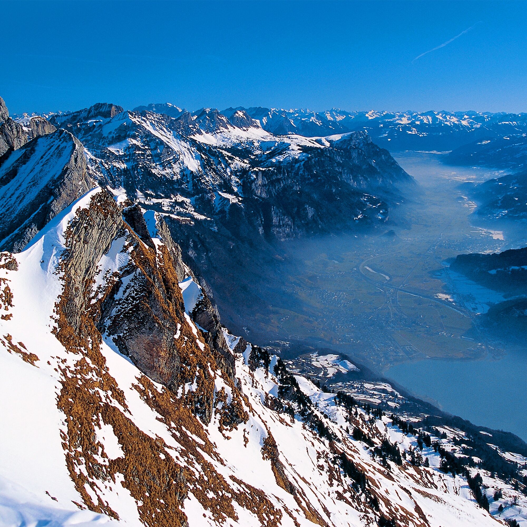
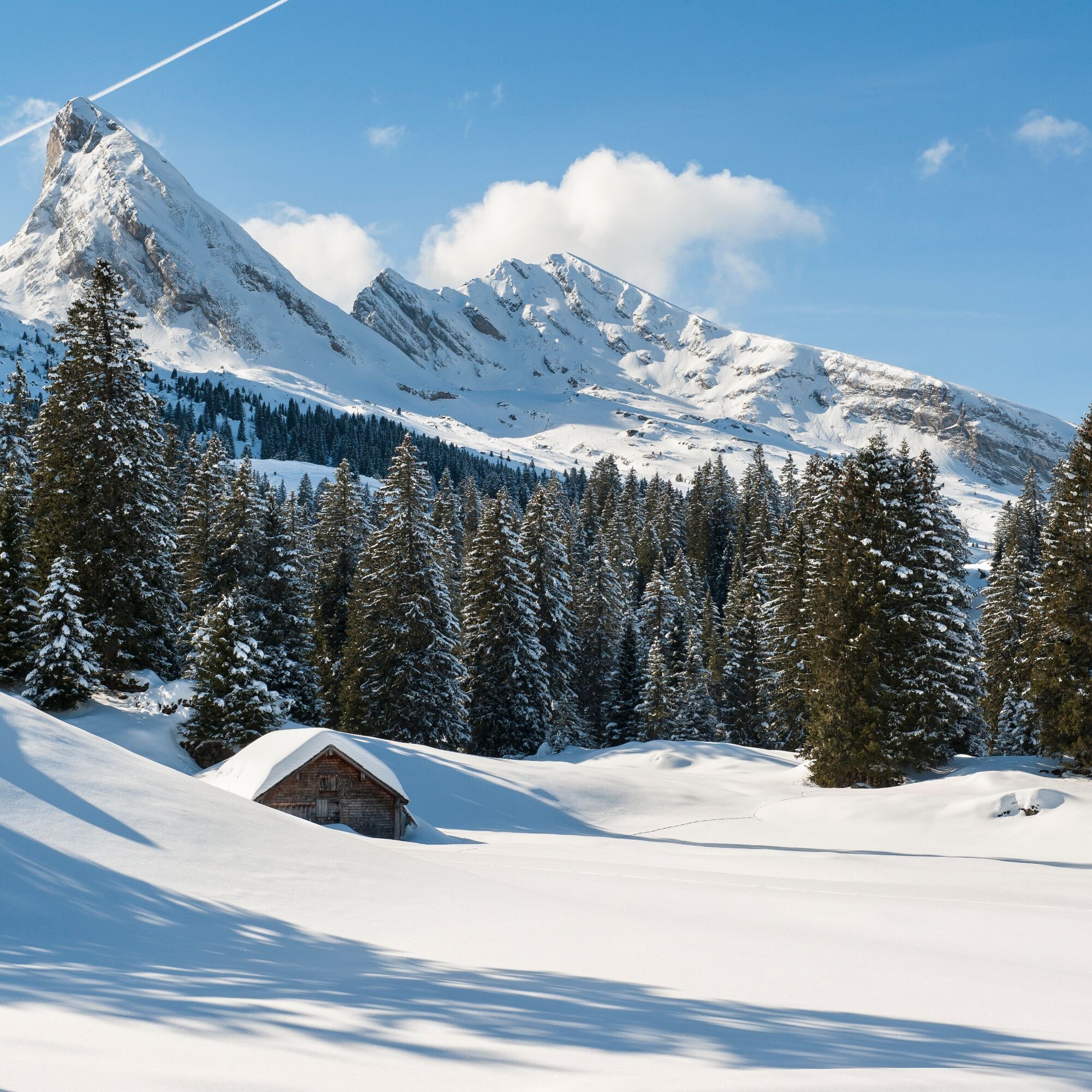
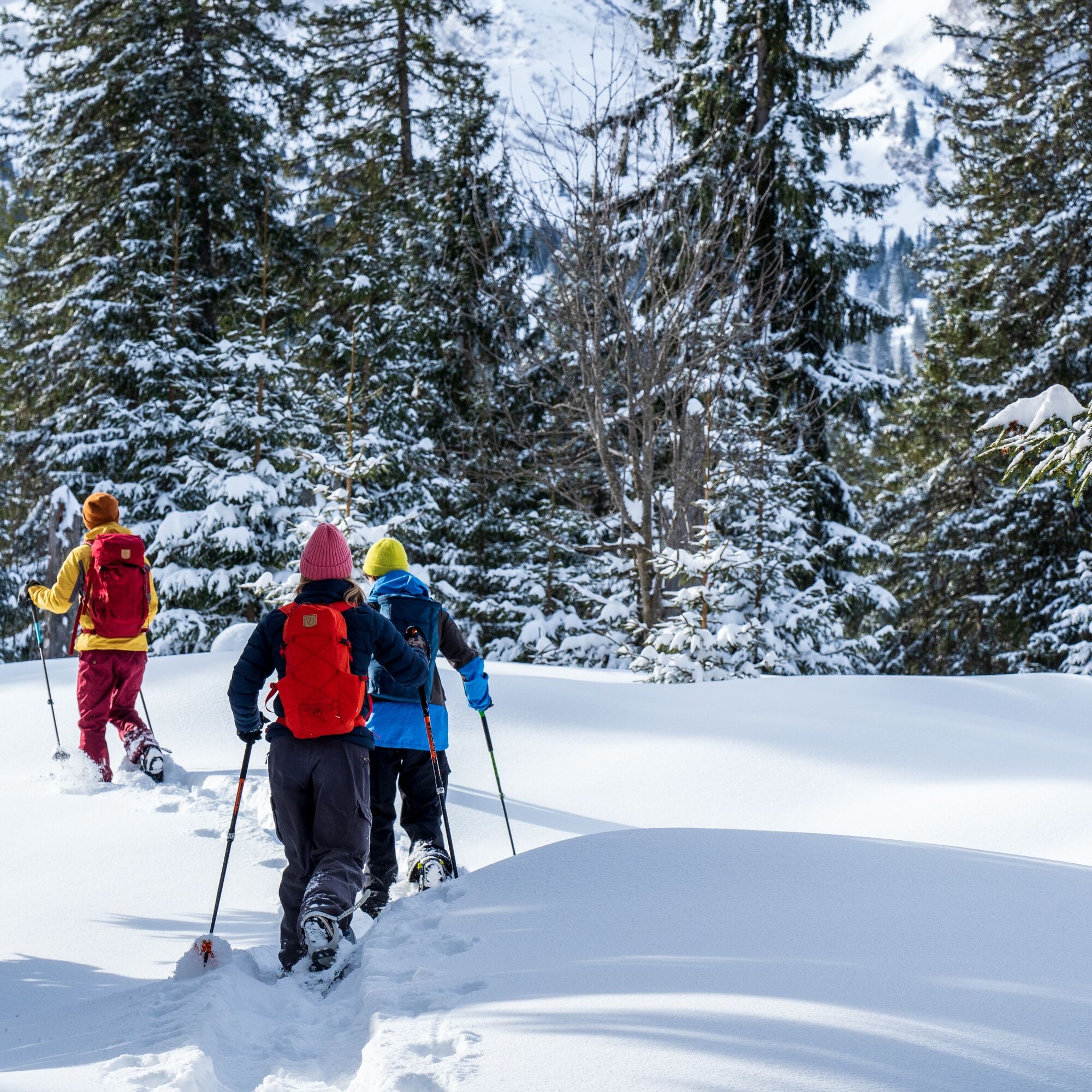
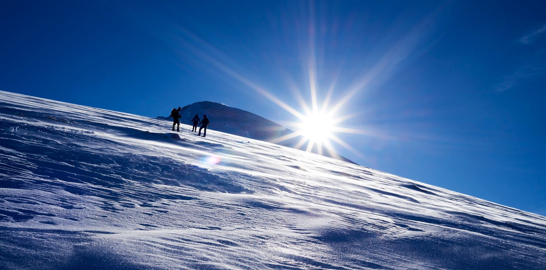
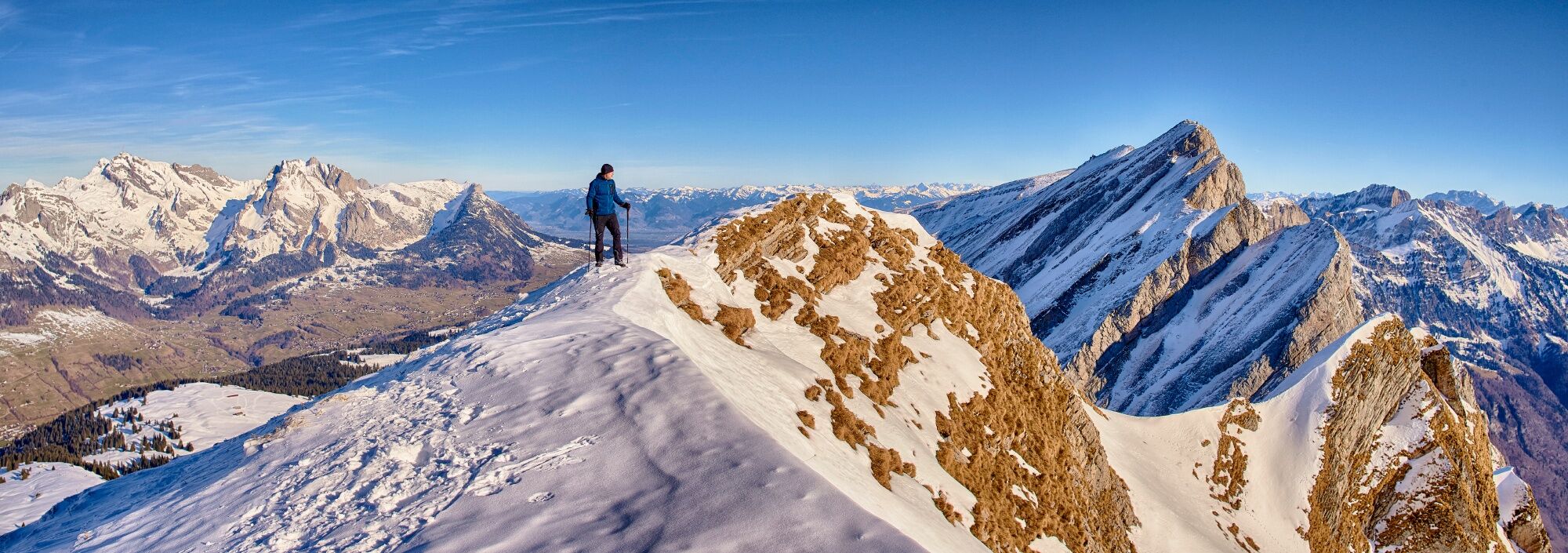
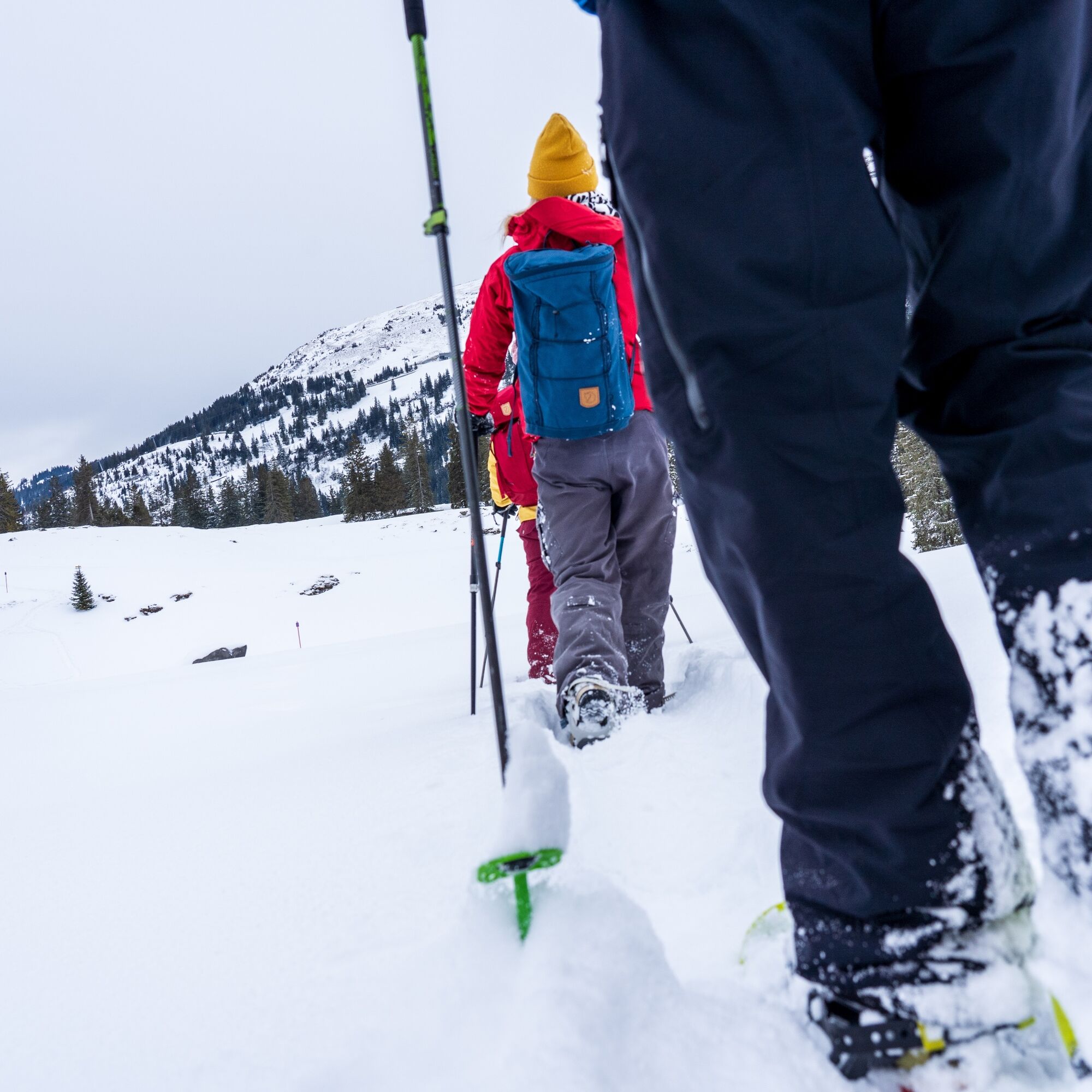

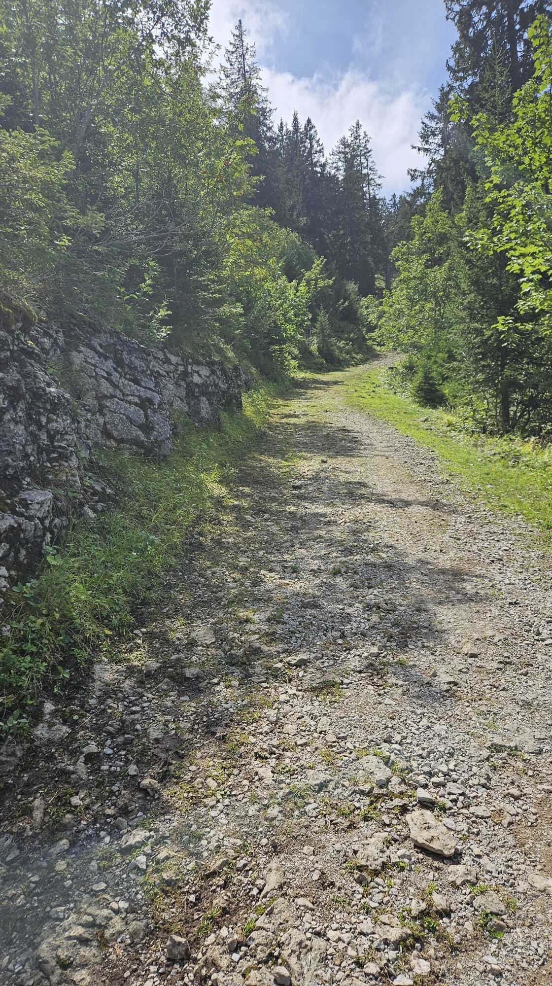
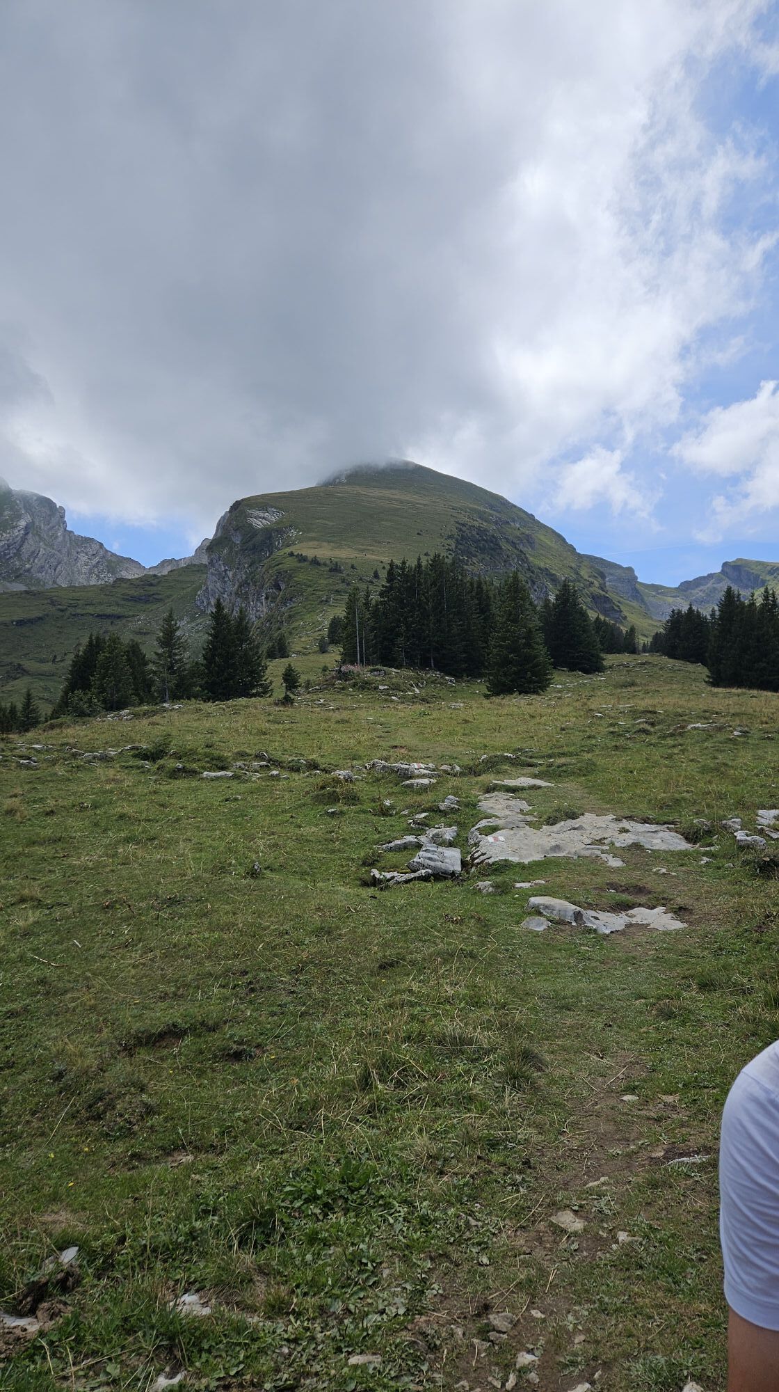
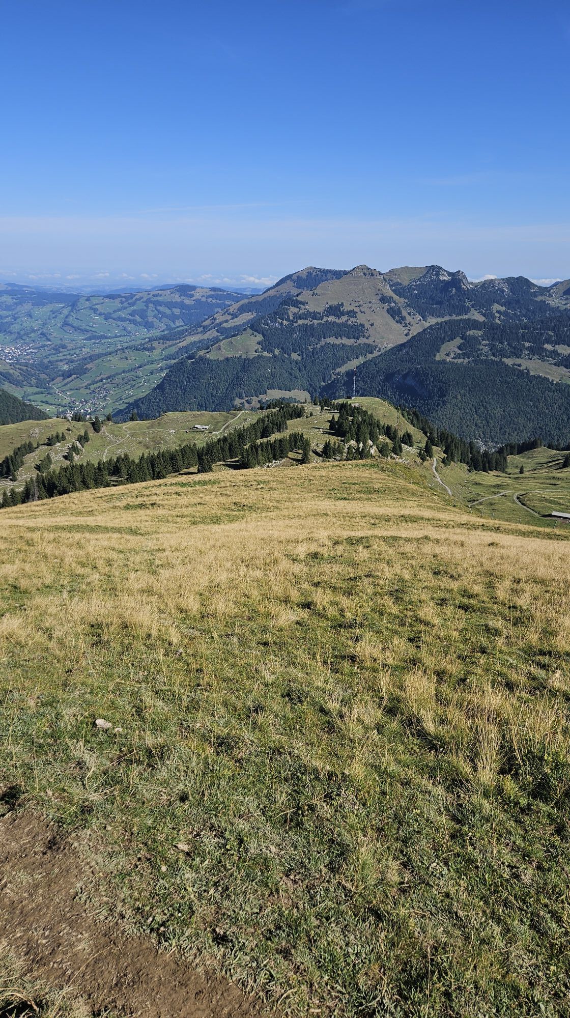
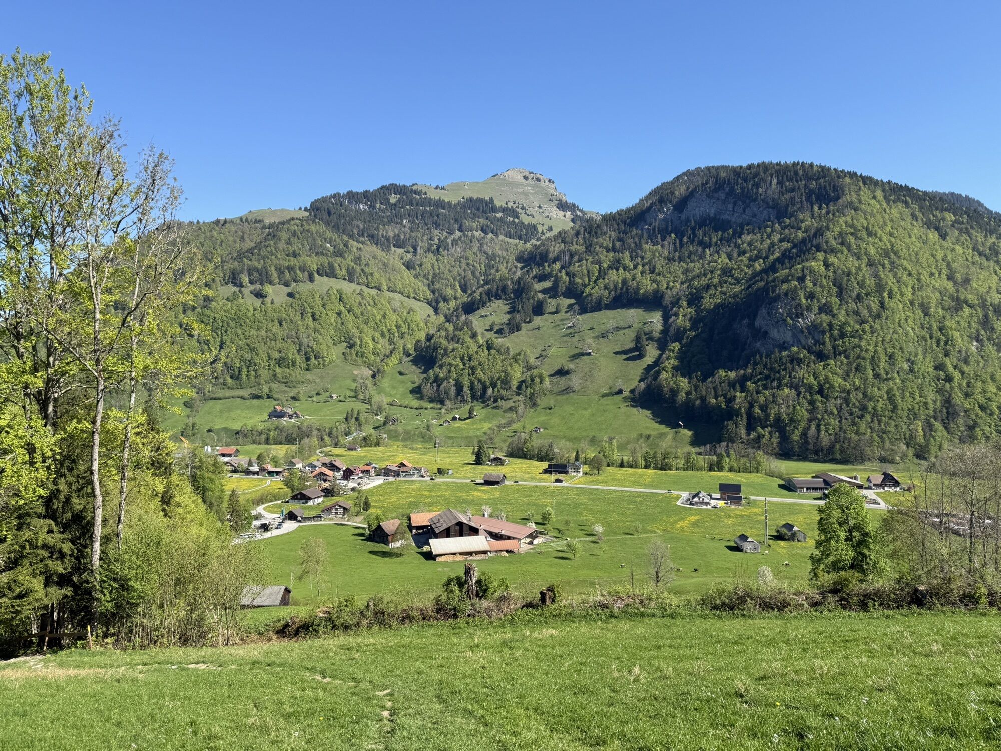
From Starkenbach on the service road through the Selunerwald to the upper station of the Selunbahn. Then along the mostly pleasantly inclined ridge of the Selun up to the summit. Instead of descending via the ascent route, it is recommended to complete the route via Zinggen and Sellamatt. This way, you can admire the achievement on one of the sun terraces and then cover the last altitude meters with the Sellamattbahn.
Áno
Áno
Áno
Snowshoes, telescopic poles with large baskets, avalanche equipment with transceiver, avalanche probe and shovel, day hiking backpack (approx. 30 liters) with rain cover, possibly with avalanche airbag, comfortable and waterproof winter shoes or sturdy hiking boots that fit into the snowshoes bindings, possibly gaiters, warm and durable layered clothing, ski jacket and pants, hat / headband, scarf, gloves, possibly ski goggles, sun and rain protection, provisions and drinking water, thermos with hot beverage, first aid kit, pocket knife, mobile phone, possibly headlamp and reflectors, maps, possibly bivy sack and rescue blanket
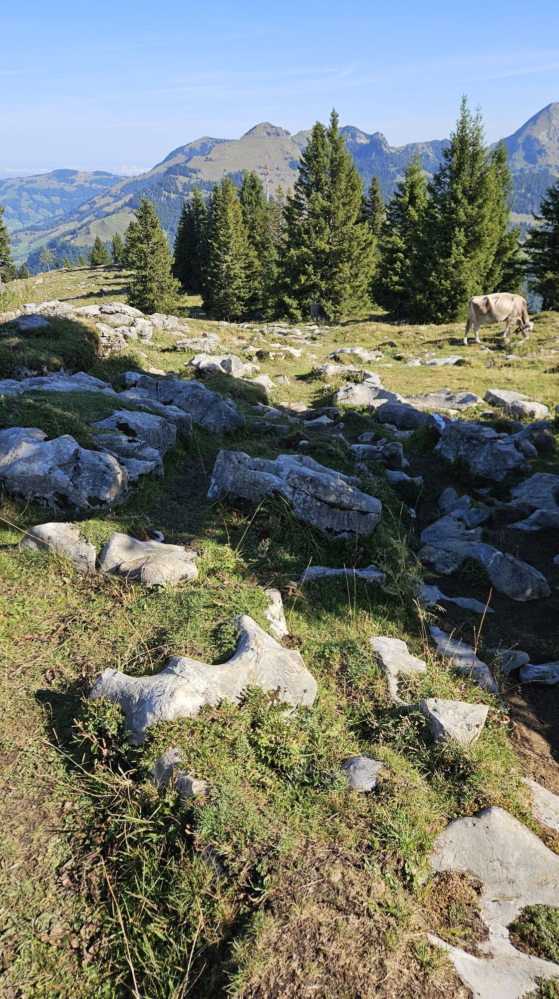
The route is not signposted. Do not deviate from the online route! There is a danger of falling due to karst holes!
The Selun is often wind-blown due to its exposed location.
- From the greater Zurich area and Central Switzerland:
Take the A3 at Reichenburg towards Rapperswil and then over the Ricken Pass to Wattwil. Then up through Toggenburg to Alt St. Johann.
- From Eastern Switzerland:
From St. Gallen to Herisau and then via Wasserfluh to Lichtensteig. Or drive from St. Gallen to Wil, take the Toggenburg exit. Follow the main road to Alt St. Johann.
- From southern Germany:
Via Bregenz and St. Margrethen on the A13 to Haag and take the exit towards Toggenburg/Wildhaus. Or via Konstanz to Wil, then take the Toggenburg exit and follow the main road to Alt St. Johann.
By train to Nesslau Neu St. Johann station and then by bus to Alt St. Johann Starkenbach.
From the Rhine Valley by train to Buchs SG station and then by bus to Alt St. Johann Starkenbach.
There are no parking facilities available. We recommend arriving by public transport.
WT3
Toggenburg Tourism
Hauptstrasse 104
9658 Wildhaus
+41 71 999 99 11
Descent via Thurtalerstofel - Zinggen - Sellamatt with dining options and cable car descent.


Aktivity počas prehliadky
-

Wildhaus-Alt St. Johann, St. Gallen/Schweiz
06.09.2026 – Turistika -

Starkenbach-Selun-Starkenbach
30.08.2026 – Horská turistika -
Selun, St. Gallen/Schweiz
29.08.2026 – Turistika -

Wildhaus-Alt St. Johann, St. Gallen/Schweiz
23.08.2026 – Turistika -

Wildhaus-Alt St. Johann, St. Gallen/Schweiz
25.05.2026 – Mountainbike -

Wildhaus-Alt St. Johann, St. Gallen/Schweiz
11.10.2025 – Turistika -

Selun / Wildhaus-Alt St. Johann, St. Gallen/Schweiz
11.10.2025 – Turistika
Obľúbené výlety v okolí
-
4,8
Walensee Riviera Weesen - Quinten
strednáTuristika 10,2 km -
4,7
Riviera Lake Walen Walenstadt-Quinten
strednáTuristika 10,4 km -
4,6
Weesen - Quinten - Walenstadt
ťažkéTuristika 20,6 km -
4,9
Säntis-Gipfeltour, Wasserauen / Appenzell Innerrhoden
ťažkéTuristika 21,1 km -
4,5
7-Peak Tour Flumserberg
ťažkéTuristika 15,0 km -
4,6
Säntis
strednáHorská turistika 17,5 km -
4,9
Alpine and Cultural Trail Schrina
strednáTematická trasa 11,5 km -
4,7
Alvier
strednáTuristika 3,33 km -
4,5
4-Summit-Route Flumserberg
strednáTuristika 8,65 km -
4,7
Amden - Speer (Rundkurs)
svetloTuristika 17,6 km
Turistika a stopovanie


Nenechajte si ujsť ponuky a inšpiráciu na ďalšiu dovolenku
Vaša e-mailová adresa bol pridaný do poštového zoznamu.





