






Stone Age Trail - Large Loop
Large Loop (yellow)
A hike that impresses not only in scenery. On the Stone Age Trail you pass the Kesslerloch (1). The cave was once a camp of Late Stone Age reindeer hunters. Not only prehistory but world...
Large Loop (yellow)
A hike that impresses not only in scenery. On the Stone Age Trail you pass the Kesslerloch (1). The cave was once a camp of Late Stone Age reindeer hunters. Not only prehistory but world history was written here. Artfully decorated objects made from reindeer antlers caused international sensation at their discovery at the end of the 19th century. You pass by the UNESCO World Heritage site and Wäierhaalde, where reindeer once roamed the swampy valley. The nationally important lowland bog with the adjacent "Weierwiesen" preserves a piece of original landscape. The two picturesque stations Langloch (7) and Kurzloch (6) impressively show how glaciers once shaped the landscape.
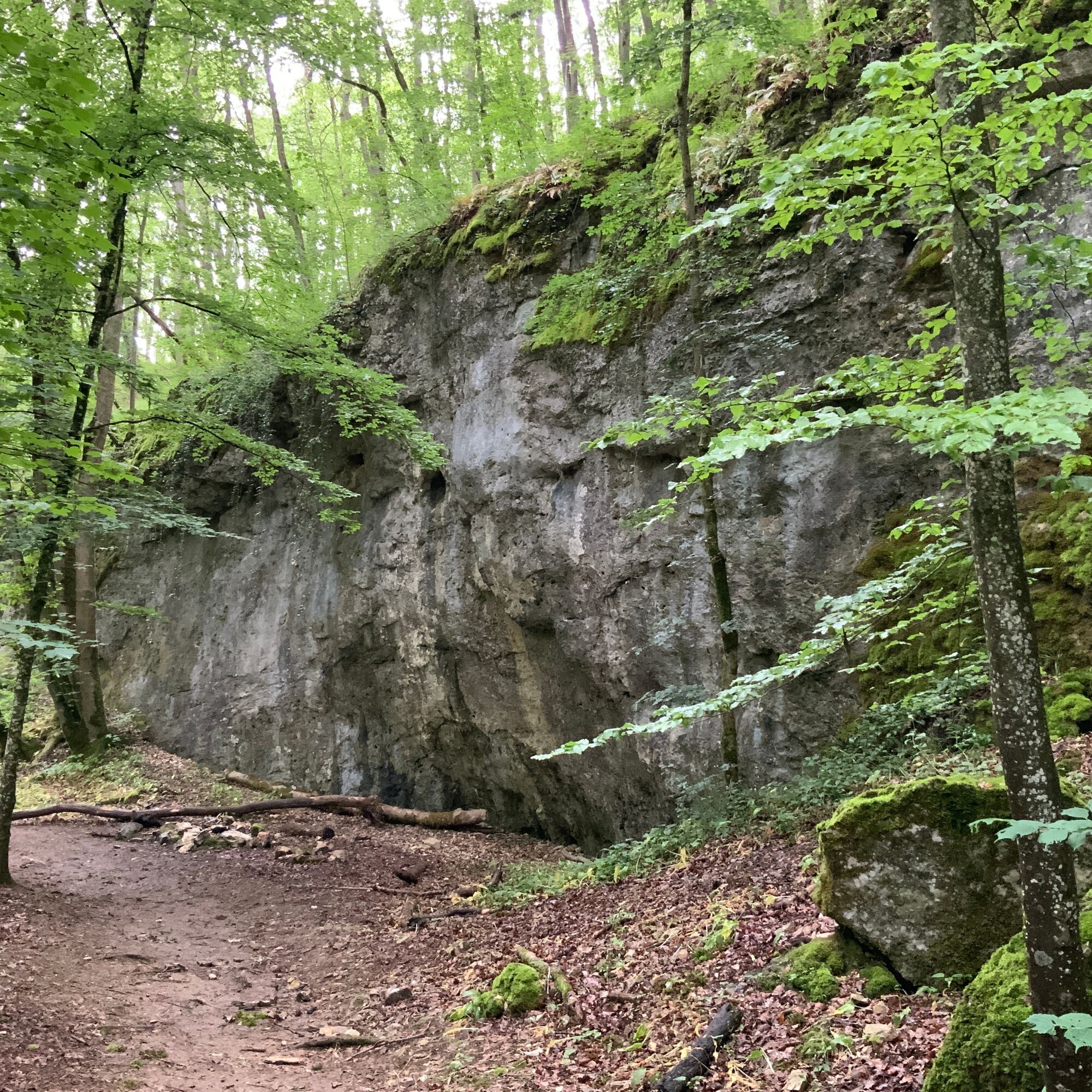
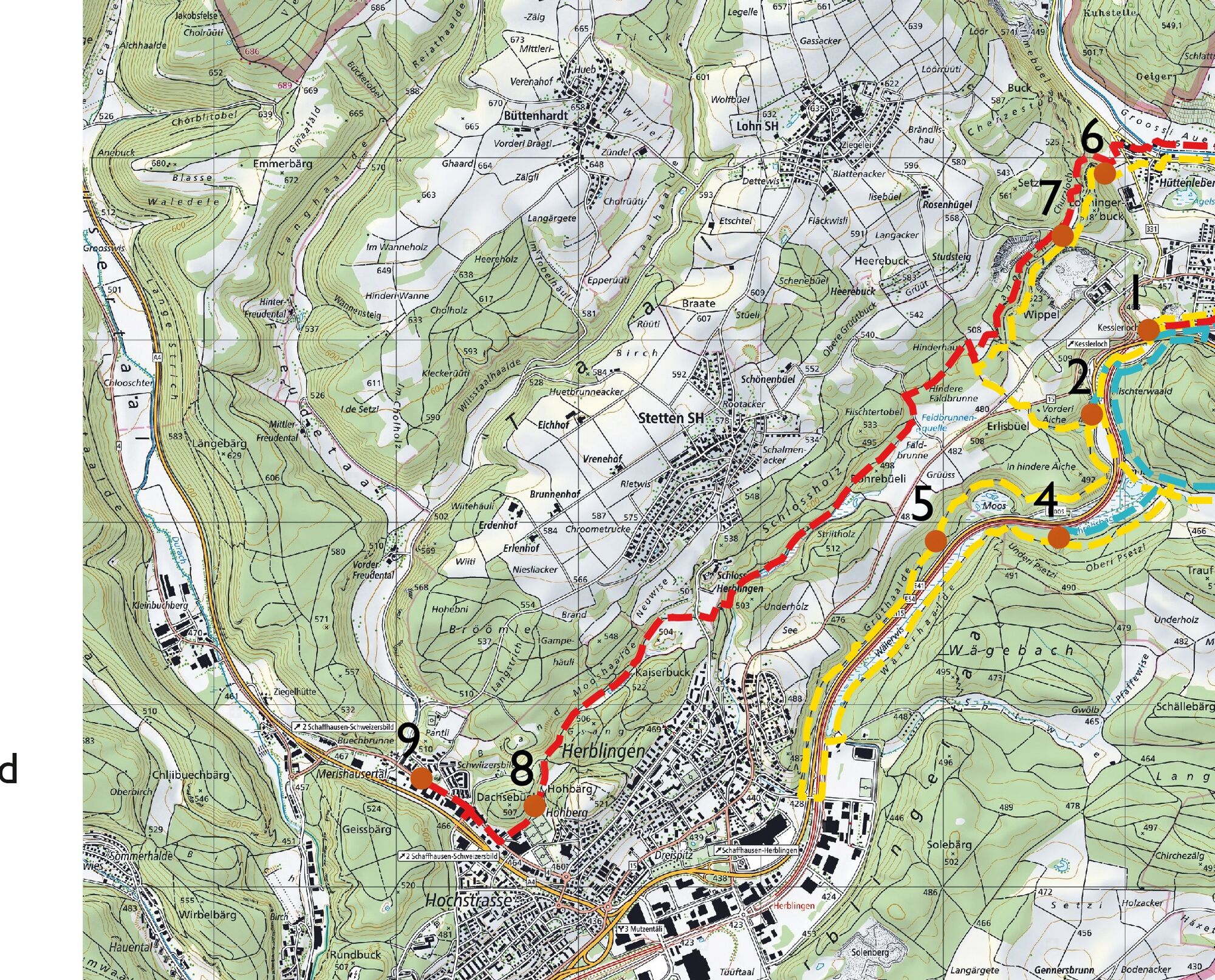
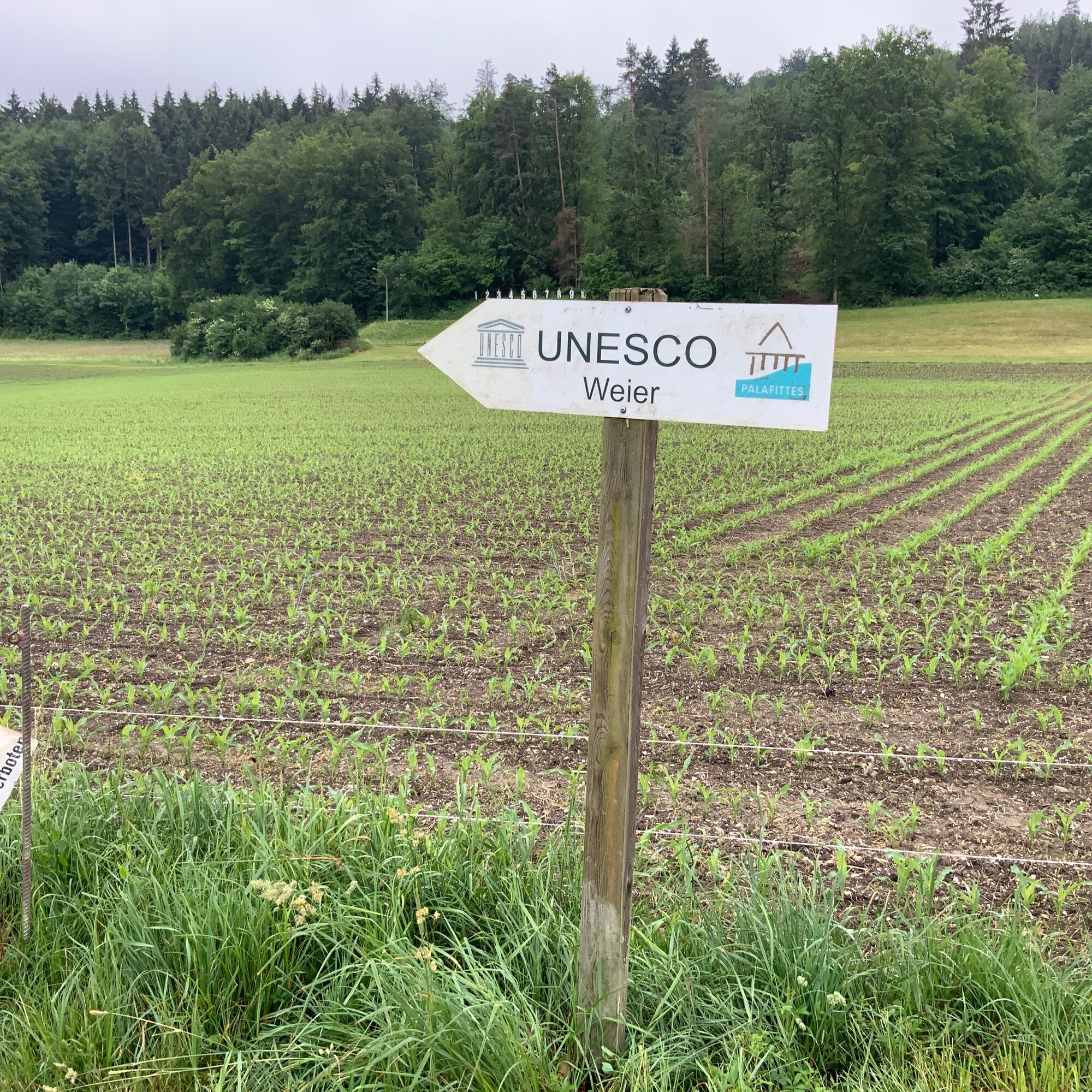
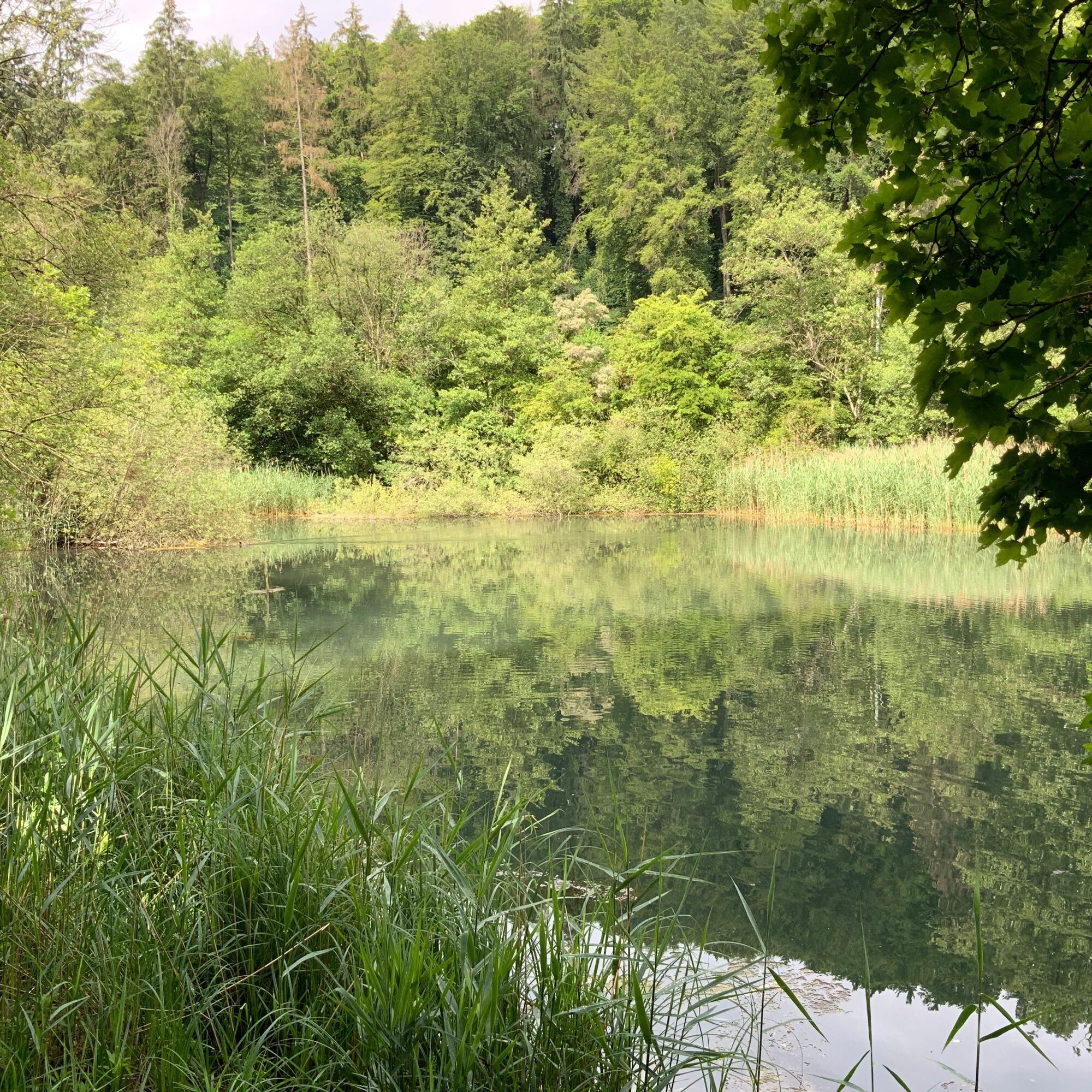
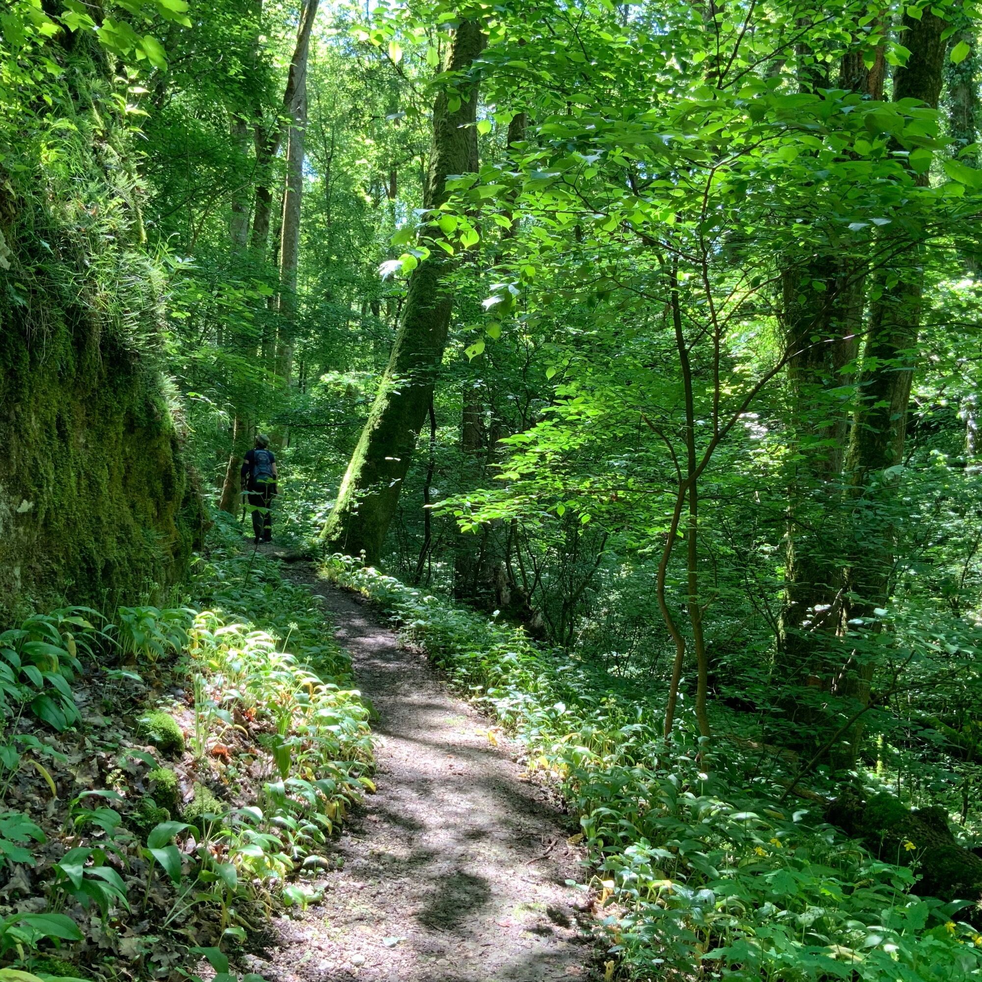
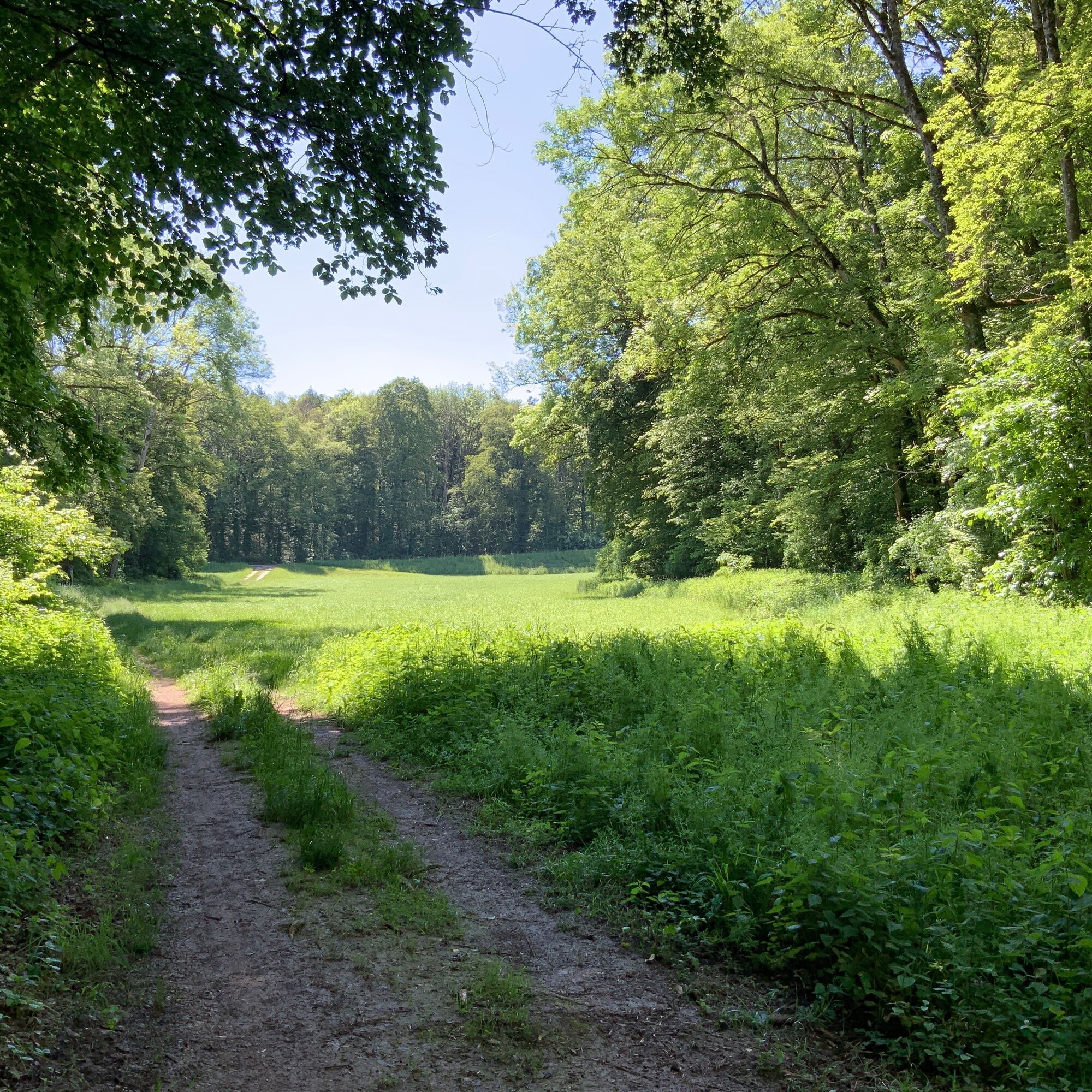
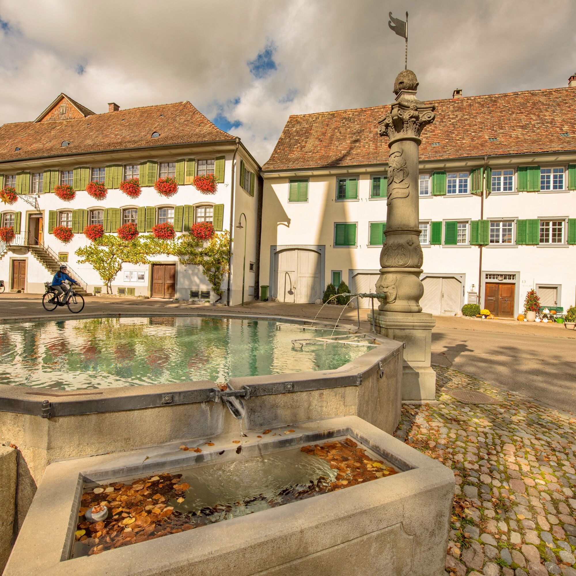
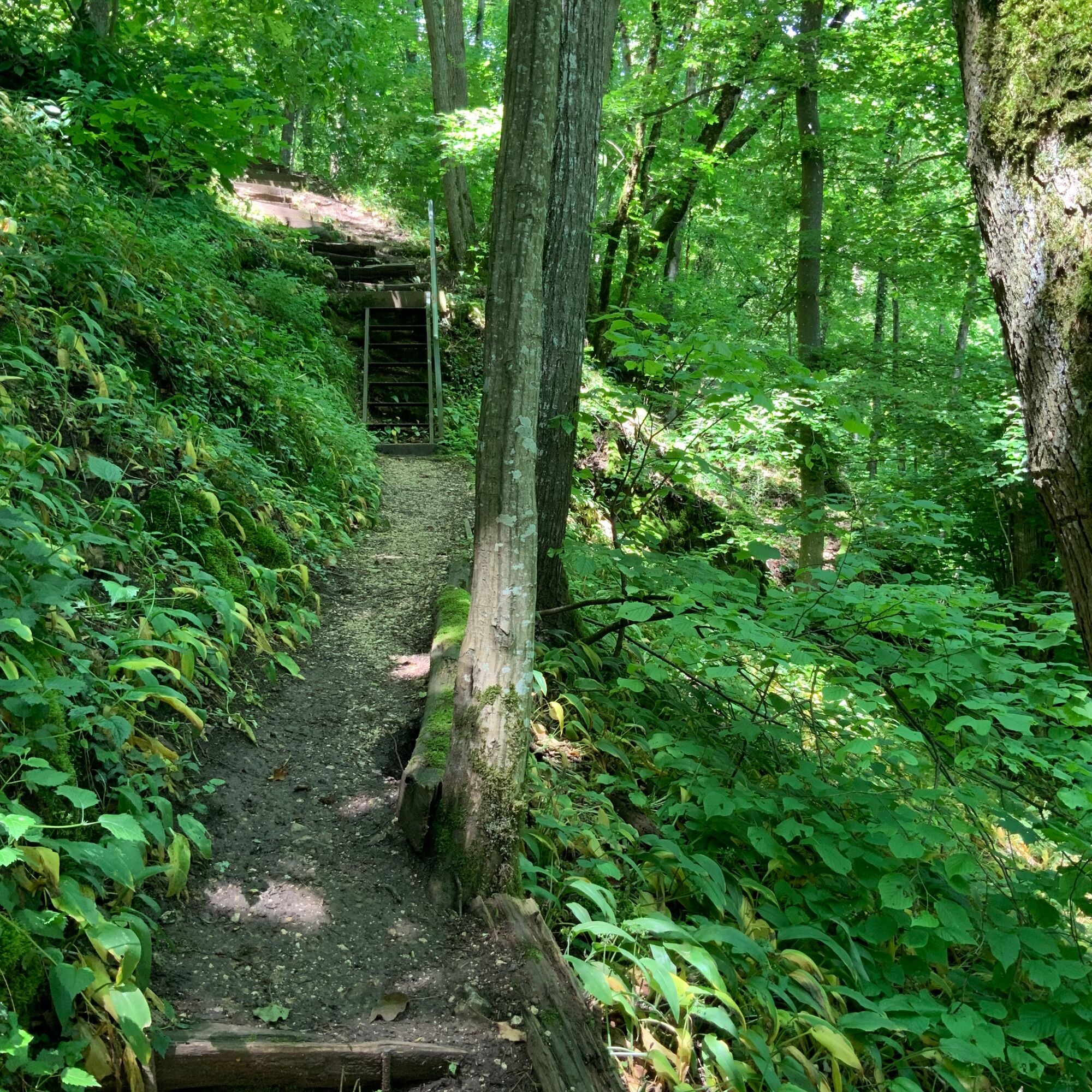
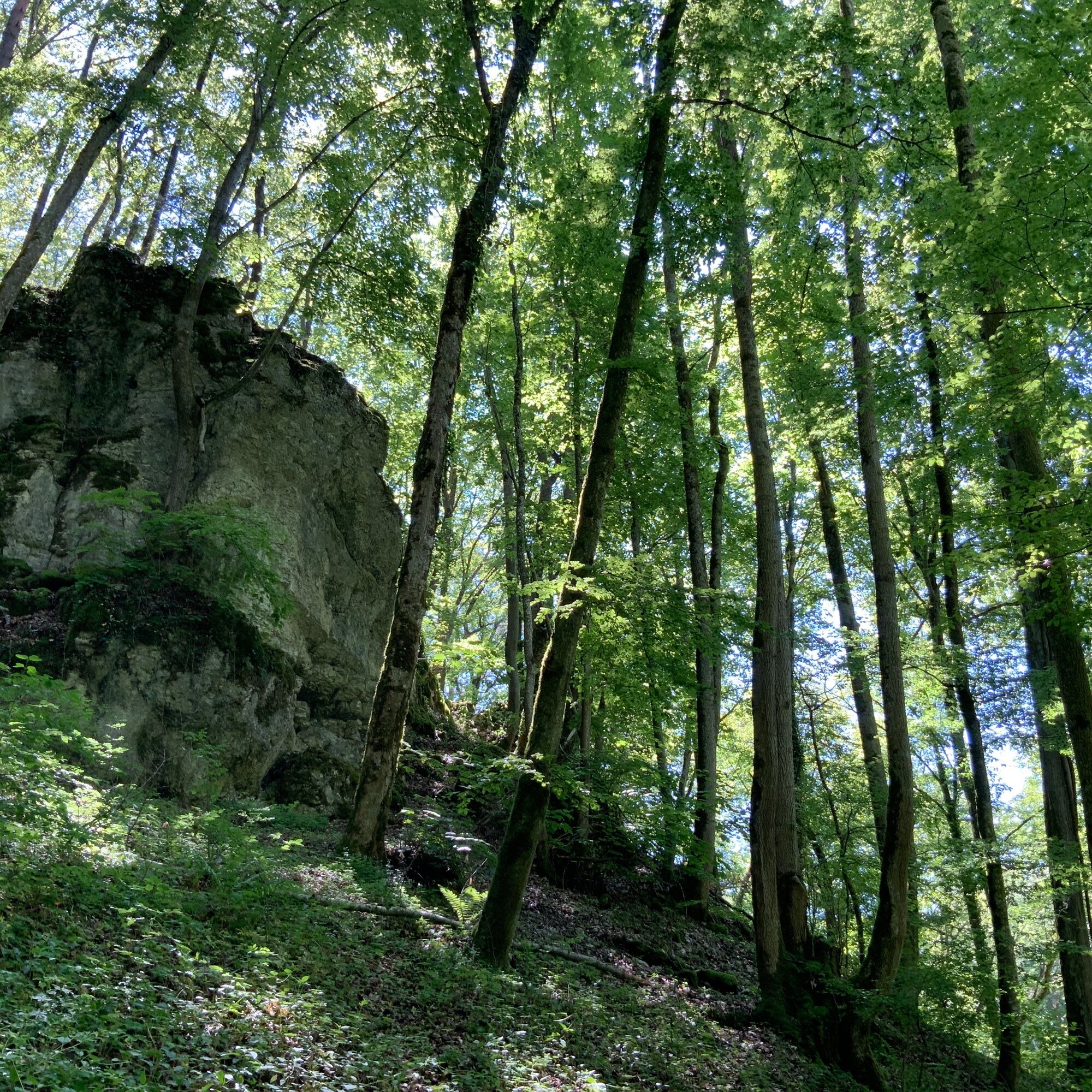
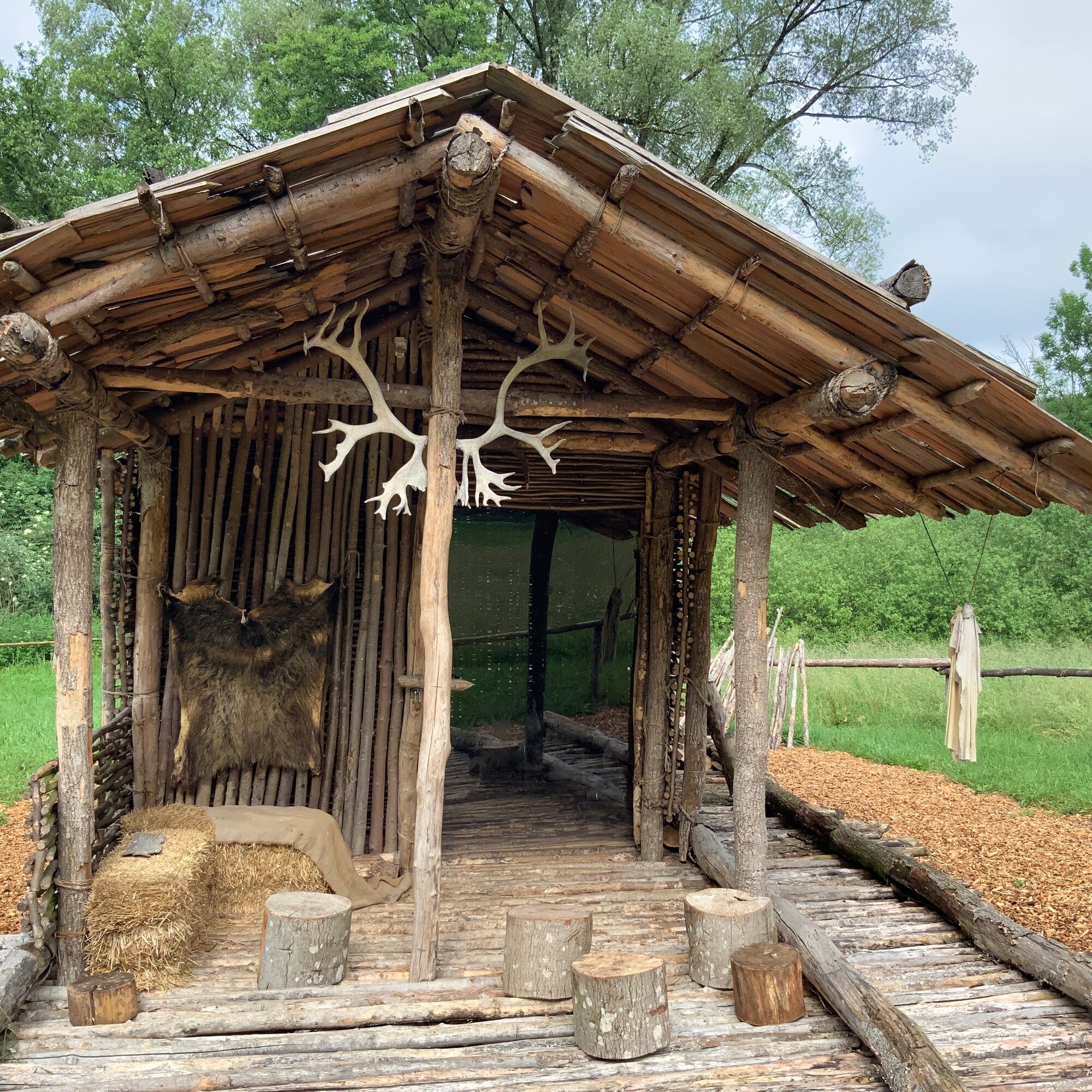
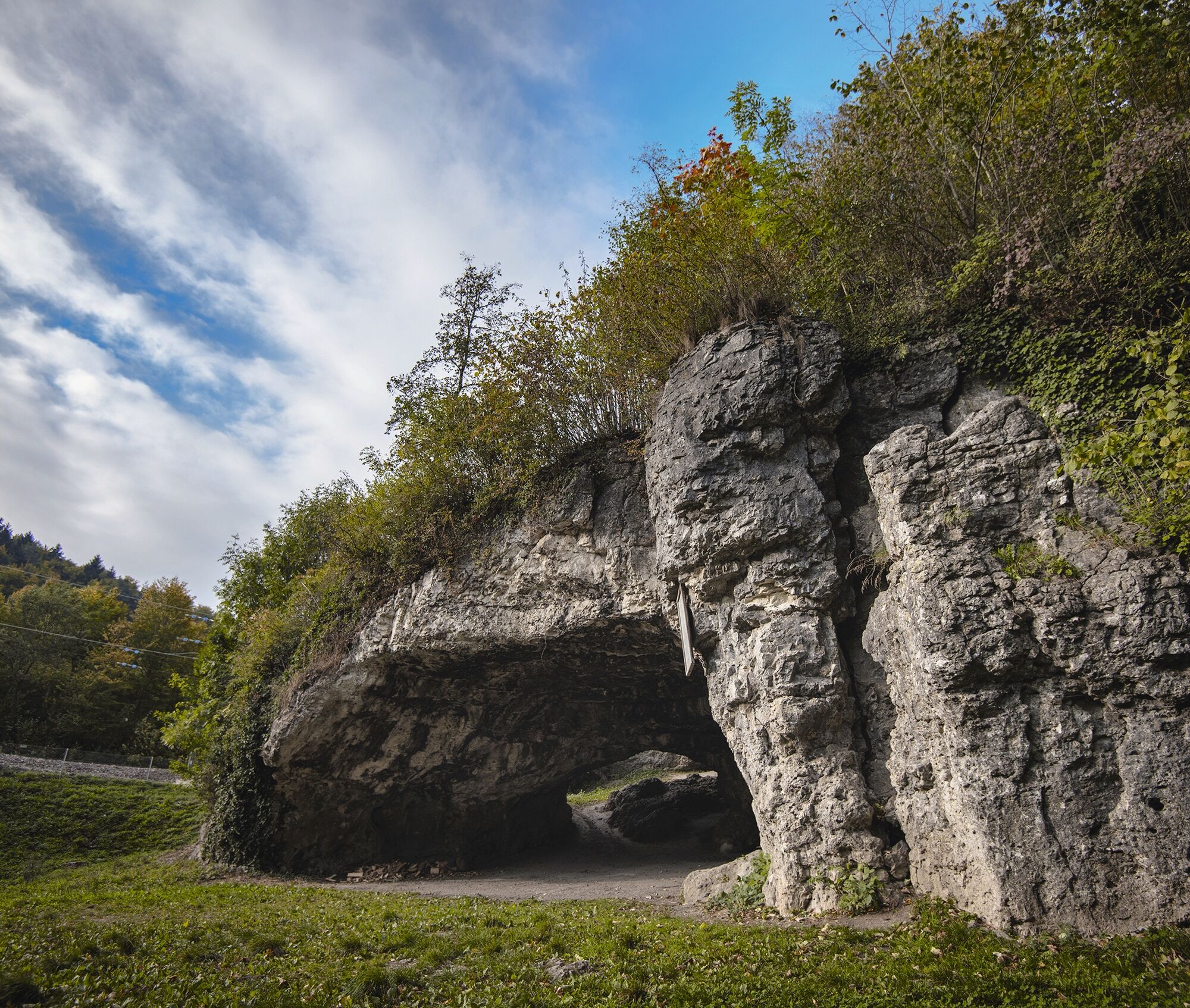

The Stone Age Trail starts at the parking lot of Thayngen train station. Follow Kesslerlochstrasse to the Kesslerloch parking lot and continue to the Kesslerloch. After visiting the Kesslerloch, go back to the football fields. Here a path leads to the other side of the tracks. Then follow the path to the right and walk about 1 km along the edge of the forest to the Alte Weiher barbecue area. Past Alte Weiher, the path takes you straight to Thayngen-Weier. From there, return along the path until just before Alte Weiher. Turn left, past a meadow, into the forest. Follow the path through the forest. You will pass Untere Bsetzi and the Tüüfels Chuchi. The path continues along the forest edge, past Morgerenweiher to the Morgerenweiher barbecue area. Here turn right and follow Industristrasse to the bridge and cross it. On the other side, immediately turn right into the forest. Follow the path to Grüthalde. Keep slightly left and follow the path towards Thayngen to the front oaks. Turn back into the forest. Follow the path and cross Schaffhauserstrasse and immediately follow the field path on the other side of the street. After about 400 m, turn right and follow the path to the next intersection. Here go right and then left again over Langloch. Follow the path and cross Lohnemerstrasse and follow the field path over Churzloch. At the next intersection, keep right again. Follow the path until you leave the forest. Follow the field path to Reiatstrasse and cross it. Past Hüttelebe, the path now leads you along the Biber back to the starting point.
Details:
The Stone Age Trail passes by significant archaeological sites of Schaffhausen along three different hiking routes. Info boards give exciting and entertaining insights into prehistory.
All three routes start at Thayngen train station. In a few minutes’ walk, you reach the first stop, the Kesslerloch (1). The cave was once a camp of Late Stone Age reindeer hunters. Not only prehistory but world history was written here. Artfully decorated objects made from reindeer antlers caused international sensation at their discovery at the end of the 19th century.
From here you follow the hunter nomads of the Old Stone Age to the next stop, the small cave Vordere Eichen (2). They also once camped here. Many thousands of years later, in the Neolithic, a child was buried at this site.
The first branch now leads to the Thayngen-Weier station (3). The former marshland was inhabited by pile dwellers in the Neolithic. Part of the village is still well preserved underground and today is part of the UNESCO World Heritage "Prehistoric Pile Dwellings around the Alps".
From the marsh village, go back a bit to the second branch. This leads you to a mighty rock near Untere Bsetzi (4). This also offered protection to migrating hunters at the end of the last Ice Age. In the Neolithic, the site became a burial place.
The path continues along the Wäierhaalde. Where reindeer once roamed through the swampy valley, today cars and trains rush by. The nationally important lowland bog with the adjacent "Weierwiesen" preserves a piece of original landscape. After crossing the railway line and road, it goes back on the other side of the valley towards Thayngen. The path leads halfway up the slope through a diverse forest. In the middle lies the Grüthalde station (5). On a clearing which existed until the 20th century, Neolithic craftsmen produced beads and arrowheads in mass production.
Back at the small cave Vordere Eichen the route can end or be extended to a circular route. The two picturesque stations Langloch (7) and Kurzloch (6) impressively show how glaciers once shaped the landscape and at the same time opened windows to the even more distant geological past.
Áno
Good shoes and some provisions
Please note the Weiher shooting range on the way to the "Thayngen-Weier" site. When shooting is in progress, you must take a detour behind the shooting range. The dates can be found at https://www.fsg-thayngen.ch/
By car to Thayngen train station
By train to Thayngen, train station.
Parking near the Kesslerloch and Thayngen train station are marked on the map. Please note any fees that may apply.
Here you can find more information about the Stone Age Trail and archaeology in the canton.
The Herblingertal has always been an important north-south connection for humans and animals. Try to block out all the sounds of modern civilization and listen to the sounds of nature.
Získajte prehľad
Vždy naživo na mieste s viac ako 9 500 webovými kamerami. bergfex Ako používateľ Pro si teraz môžete pozrieť príslušné webové kamery pre mnohé zájazdy v aplikácii zájazdy z. Môžete si tak priamo prezerať aktuálne podmienky.
Obľúbené výlety v okolí
-
4,6
Small Rheinfall Circular Route
svetloTuristika 3,48 km -
4,7
"Hegauer Kegelspiel" Alter Postweg
strednáTuristika 9,26 km -
4,8
Rundwanderweg Rheinau
svetloTuristika 6,85 km -
3,3
"Hegauer Kegelspiel" Wannenberg hike
strednáTuristika 9,35 km -
Circular hike Schaffhausen - Rhine Falls - Schaffhausen
strednáTuristika 10,0 km -
5,0
Circular hike over the Hinterranden
strednáTuristika 11,0 km -
SwitzerlandMobility 896: Rhine Falls Circular Route
strednáTuristika 7,12 km -
4,5
Nature trail Merishausen: Brown route
strednáTematická trasa 11,4 km -
4,5
SchweizMobil 593: Nordspitze Panoramaweg
strednáTuristika 13,7 km -
2,8
"Hegauer Kegelspiel" Hewensteig
strednáTuristika 6,23 km
Turistika a stopovanie


Nenechajte si ujsť ponuky a inšpiráciu na ďalšiu dovolenku
Vaša e-mailová adresa bol pridaný do poštového zoznamu.





