



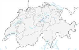


Hike from Starkenbach over the Selun to Alp Sellamatt
Fotografie našich používateľov
-
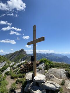
 © Daniel HaagVytvorené dňa 09.07.2023
 -
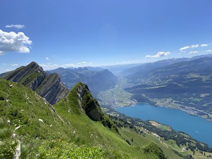 © Daniel HaagVytvorené dňa 09.07.2023
 -
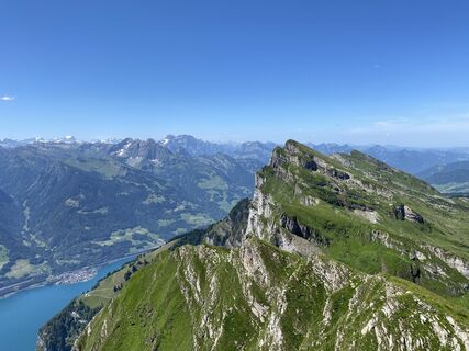 © Daniel HaagVytvorené dňa 09.07.2023
 -
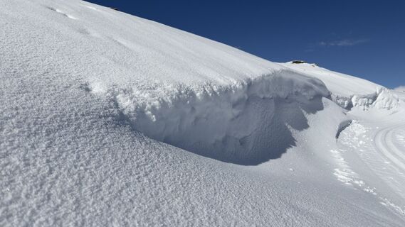
 © Peter BurkiVytvorené dňa 07.02.2026
 -
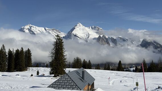 © Peter BurkiVytvorené dňa 07.02.2026
 -
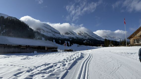 © Peter BurkiVytvorené dňa 07.02.2026
 -
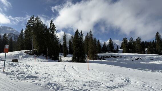 © Peter BurkiVytvorené dňa 07.02.2026
 -
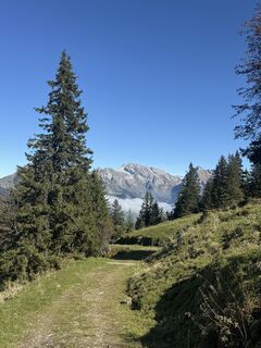
 © FábiVytvorené dňa 11.10.2025
 -
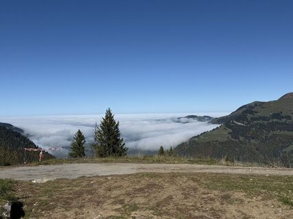 © FábiVytvorené dňa 11.10.2025
 -
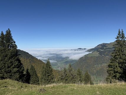 © FábiVytvorené dňa 11.10.2025
 -
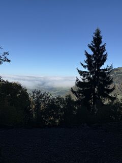 © FábiVytvorené dňa 11.10.2025
 -
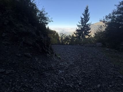 © FábiVytvorené dňa 11.10.2025
 -
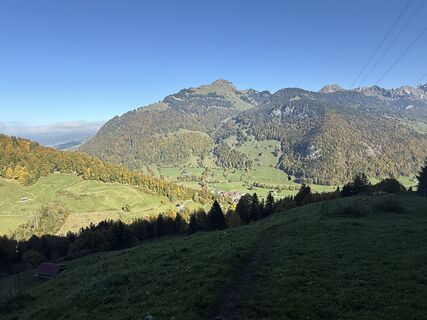 © FábiVytvorené dňa 11.10.2025
 -
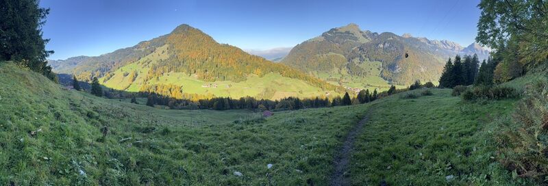 © FábiVytvorené dňa 11.10.2025
 -
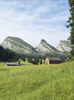
 © SvenVytvorené dňa 05.07.2025
 -
 © SvenVytvorené dňa 01.06.2025
 -
 © SvenVytvorené dňa 01.06.2025
 -
 © SvenVytvorené dňa 01.06.2025
 -
 © FábiVytvorené dňa 17.05.2025
 -
 © FábiVytvorené dňa 02.05.2025
 -
 © FábiVytvorené dňa 02.05.2025
 -
 © FábiVytvorené dňa 02.05.2025
 -
 © Marlyse LeuVytvorené dňa 15.02.2026
 -
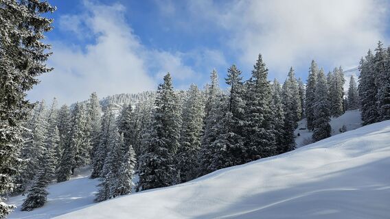 © Marlyse LeuVytvorené dňa 15.02.2026
 -
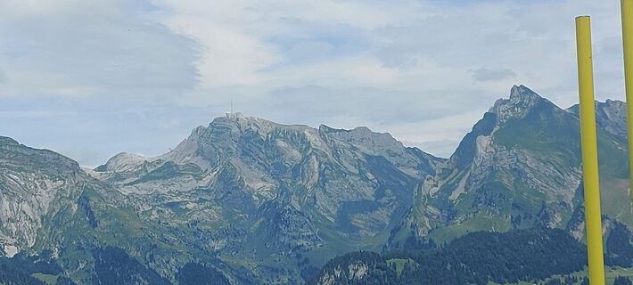 © brauni69Vytvorené dňa 06.07.2025
 -
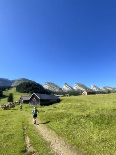
 © Aurelian BöhlerVytvorené dňa 29.06.2025
 -
 © Francesco f ErnstVytvorené dňa 04.03.2025
 -
 © Francesco f ErnstVytvorené dňa 19.02.2025
 -
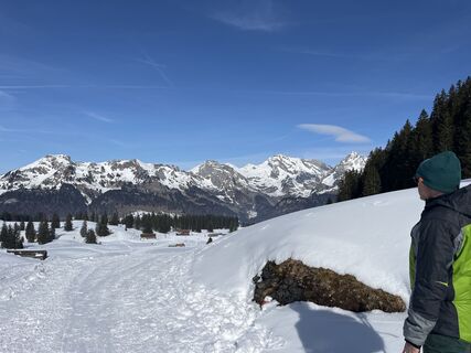 © Francesco f ErnstVytvorené dňa 19.02.2025
 -
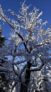
 © Erich Graf 2Vytvorené dňa 15.02.2025
 -
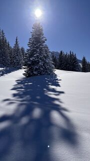 © Erich Graf 2Vytvorené dňa 15.02.2025
 -
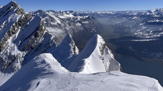 © Erich Graf 2Vytvorené dňa 15.02.2025
 -
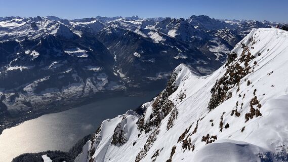 © Erich Graf 2Vytvorené dňa 15.02.2025
 -
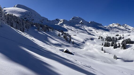 © Erich Graf 2Vytvorené dňa 15.02.2025
 -
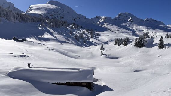 © Erich Graf 2Vytvorené dňa 15.02.2025
 -
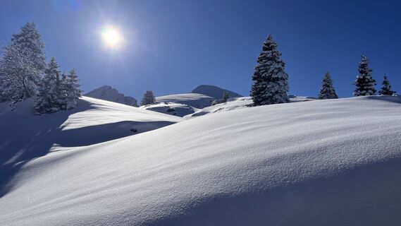 © Erich Graf 2Vytvorené dňa 15.02.2025
 -
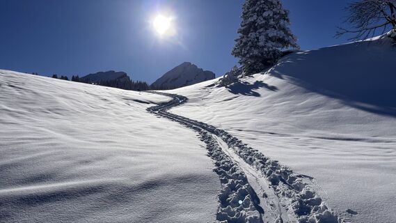 © Erich Graf 2Vytvorené dňa 15.02.2025
 -
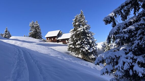 © Erich Graf 2Vytvorené dňa 15.02.2025
 -
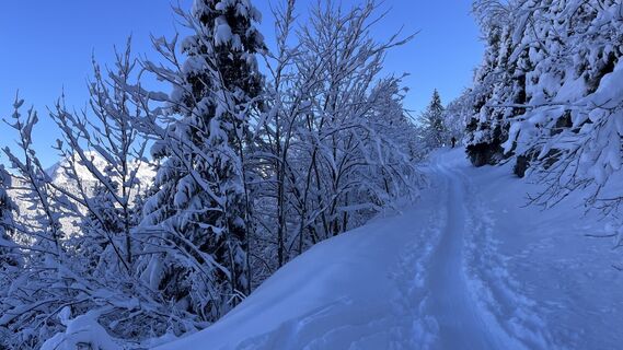 © Erich Graf 2Vytvorené dňa 15.02.2025
 -
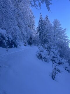 © Erich Graf 2Vytvorené dňa 15.02.2025
 -
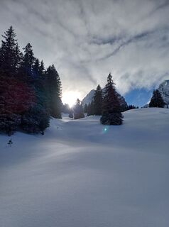 © Marlyse LeuVytvorené dňa 12.01.2025
 -
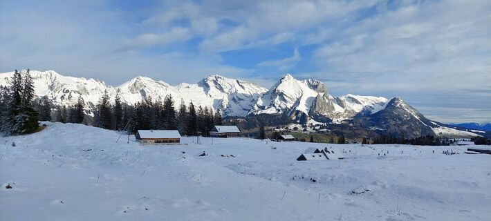
 © ClaudiaVytvorené dňa 28.12.2022
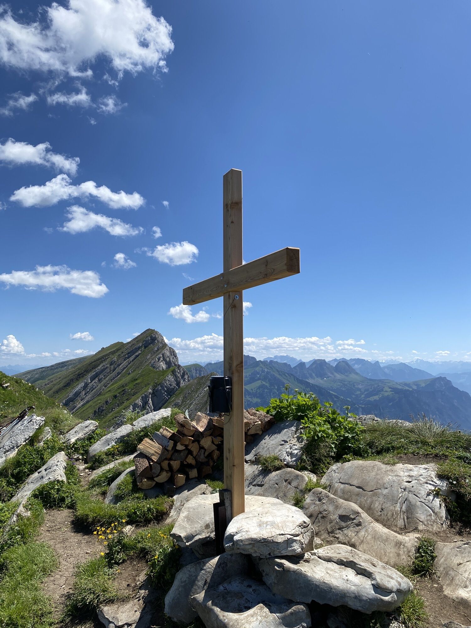
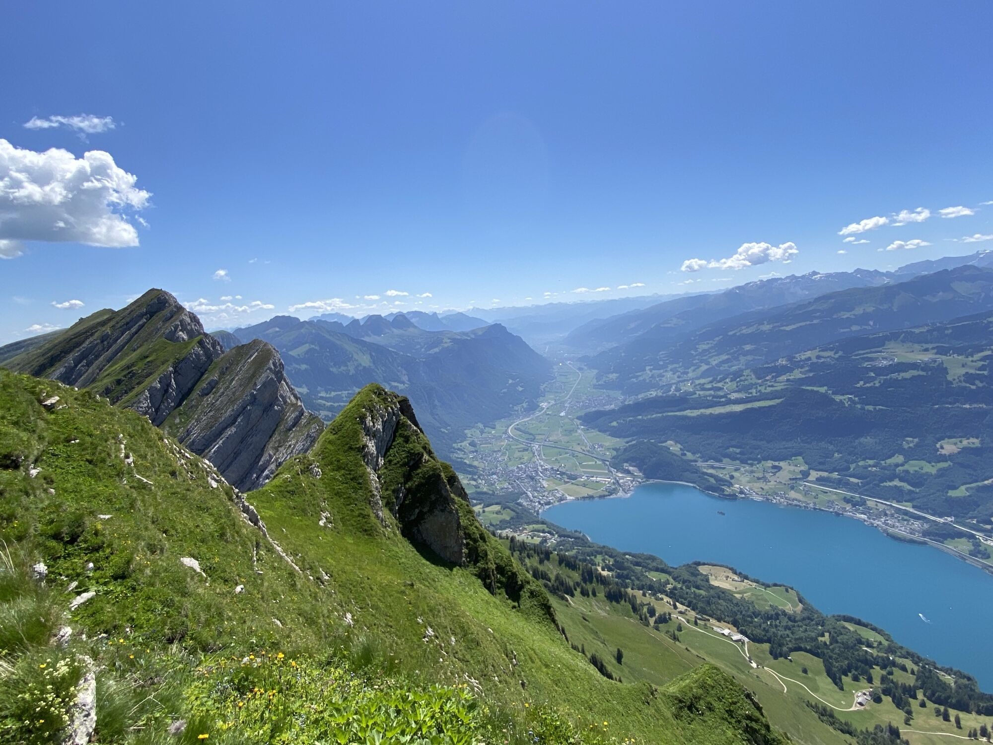
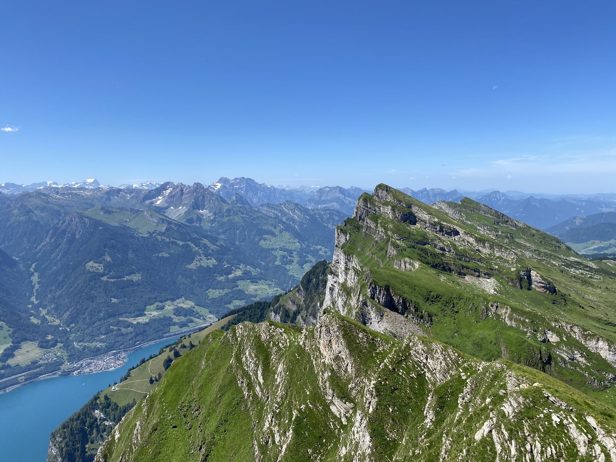
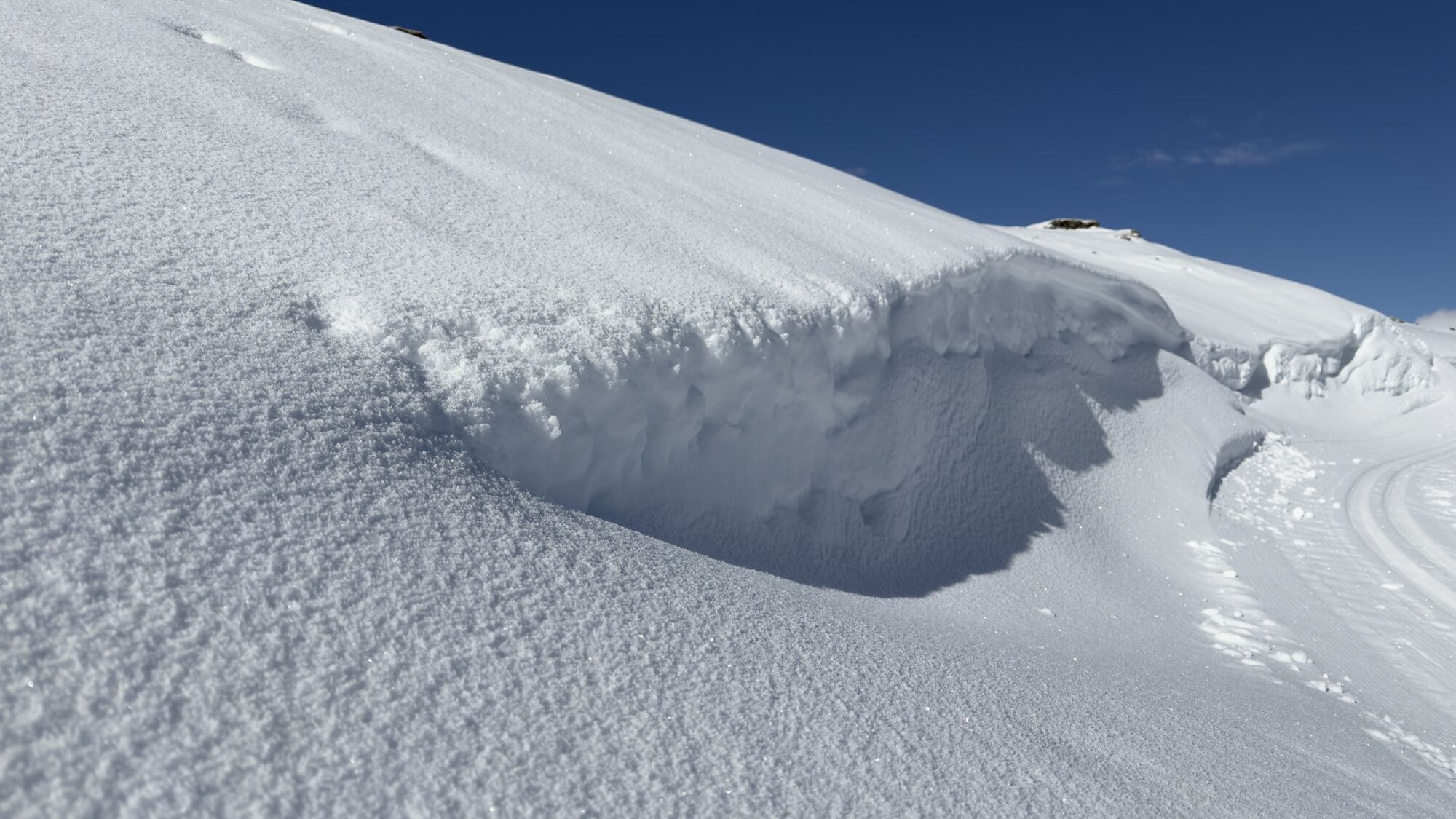
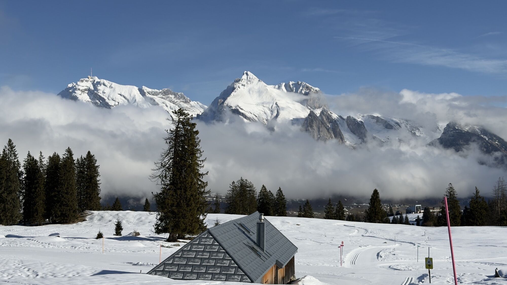
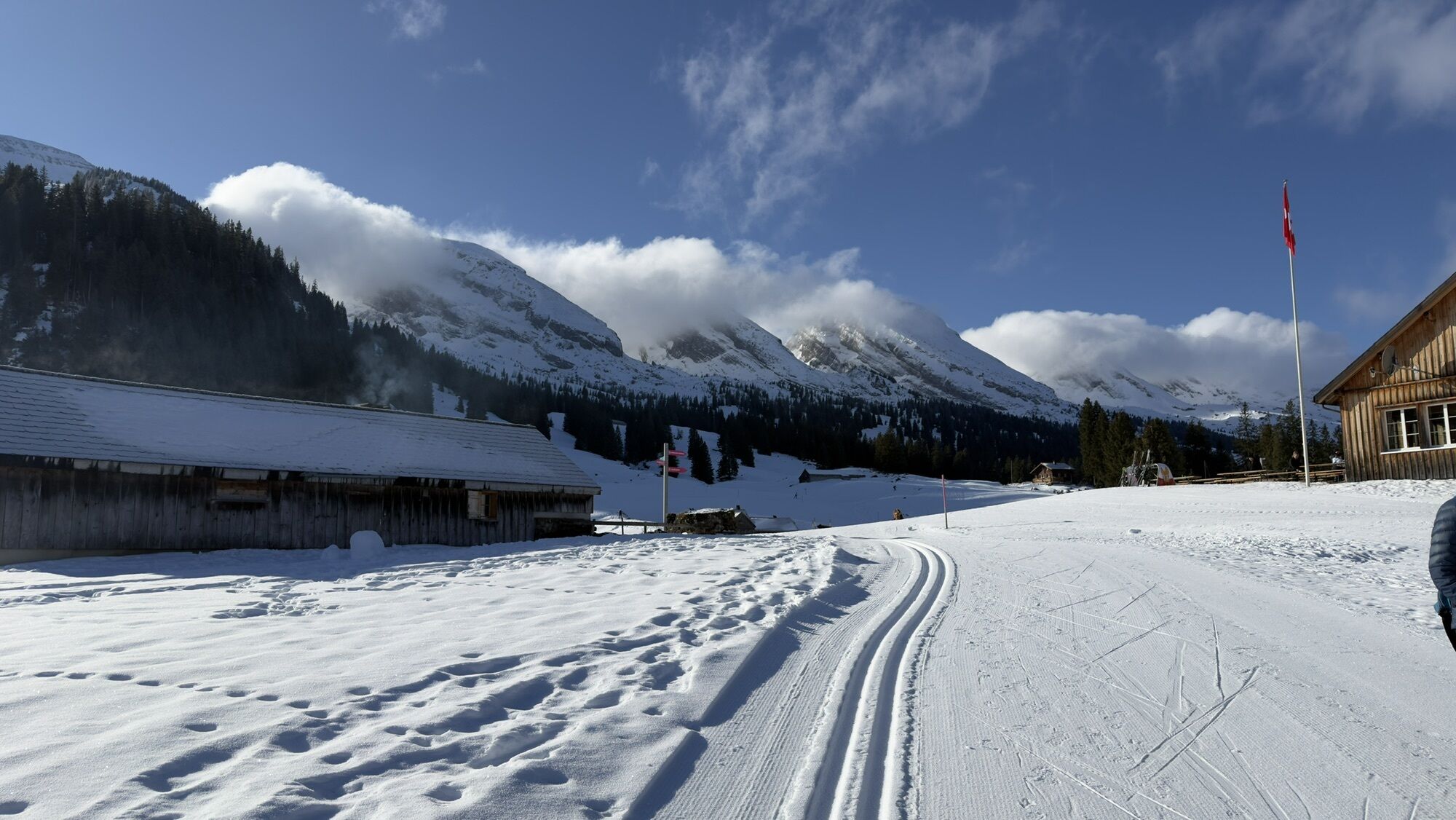
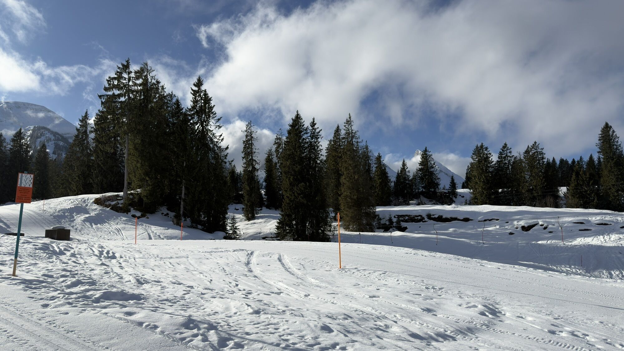
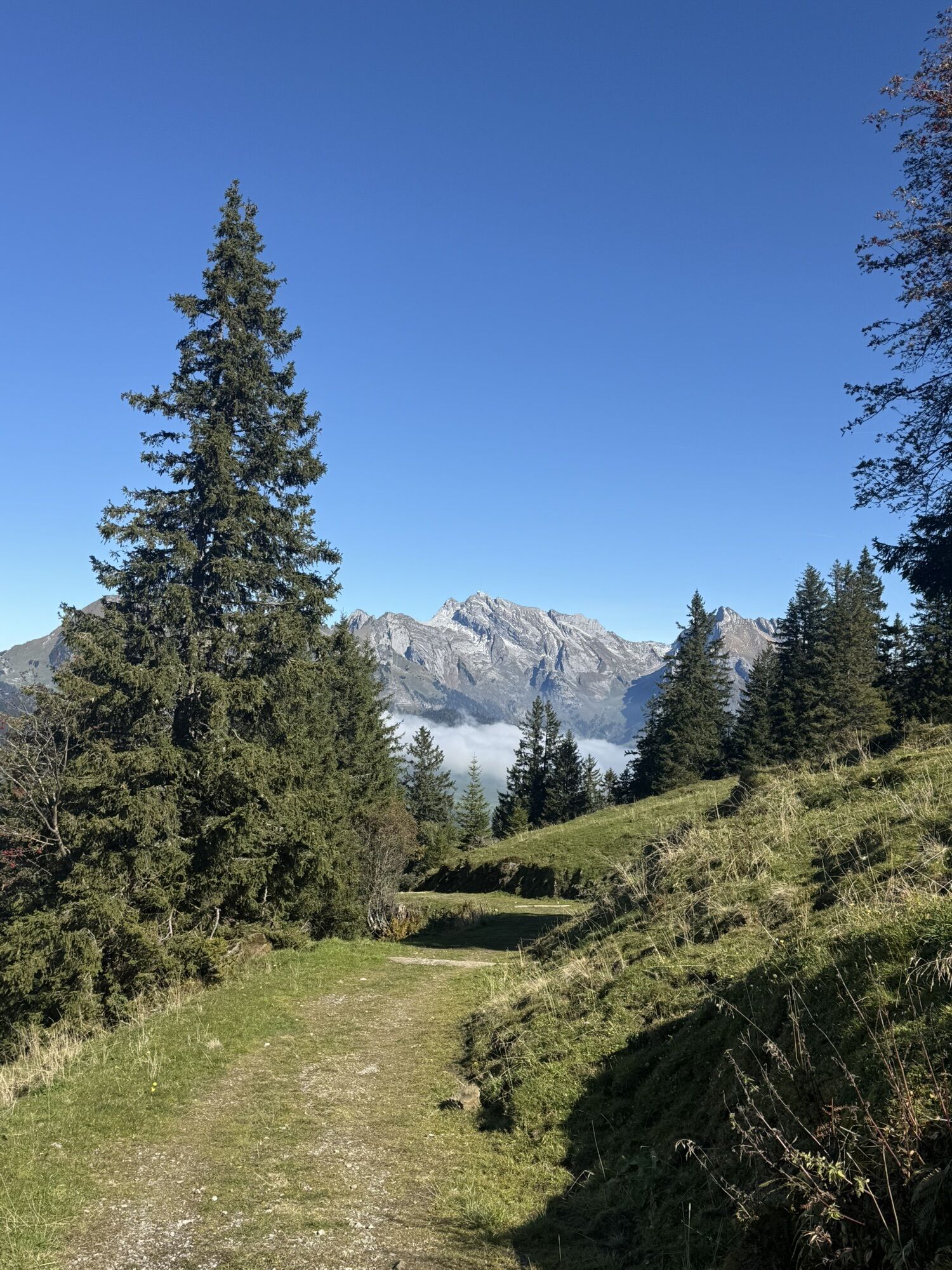
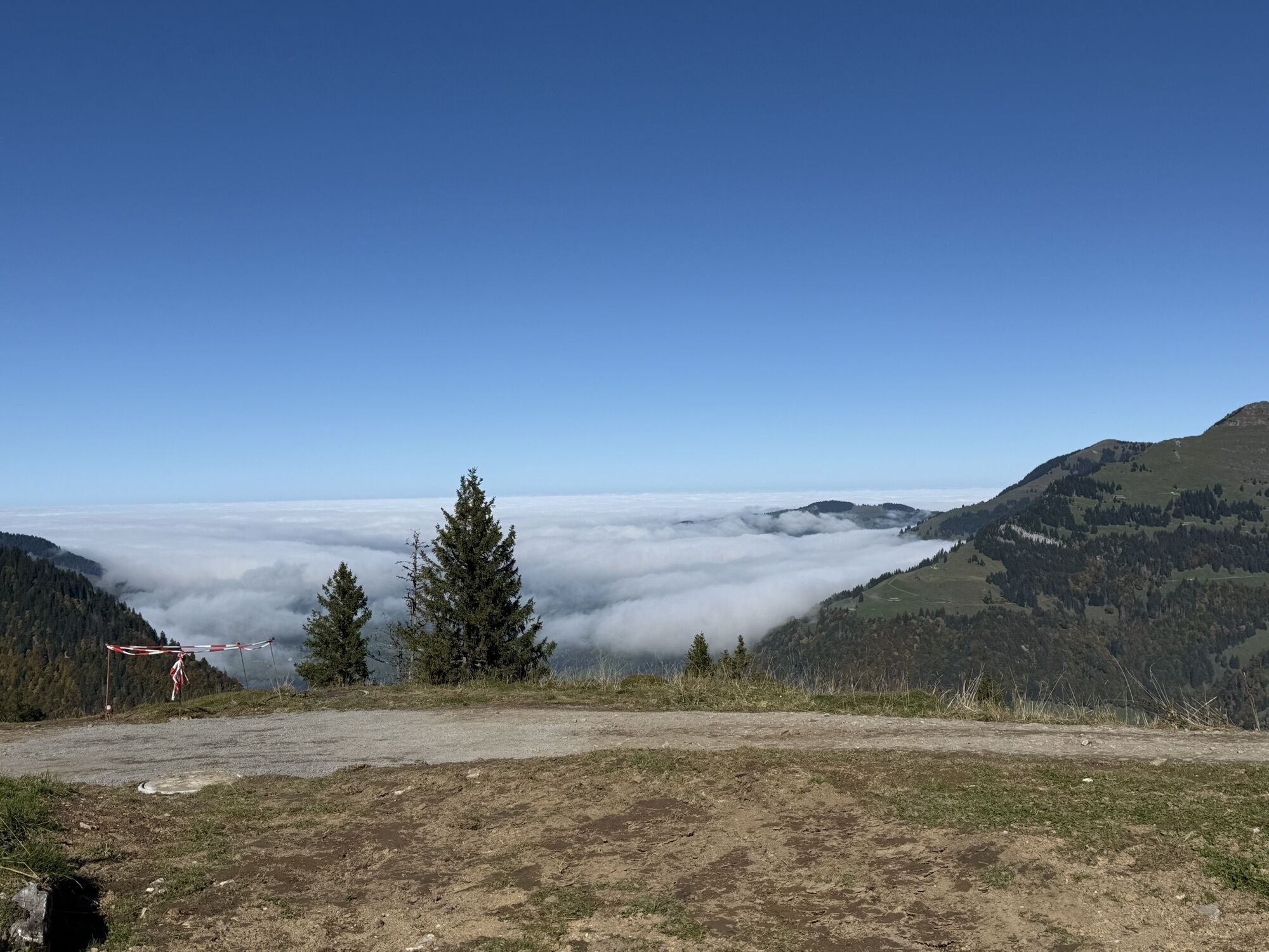
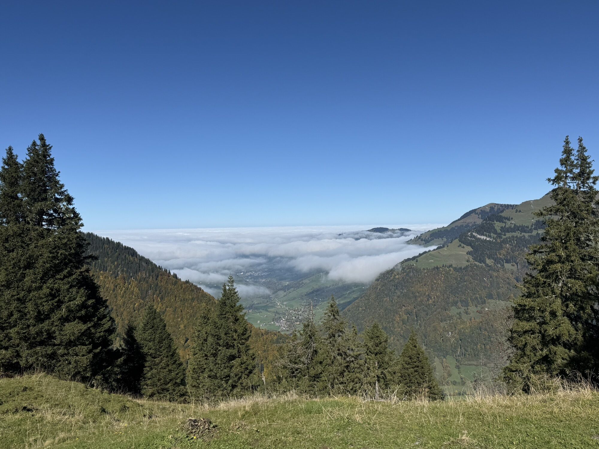
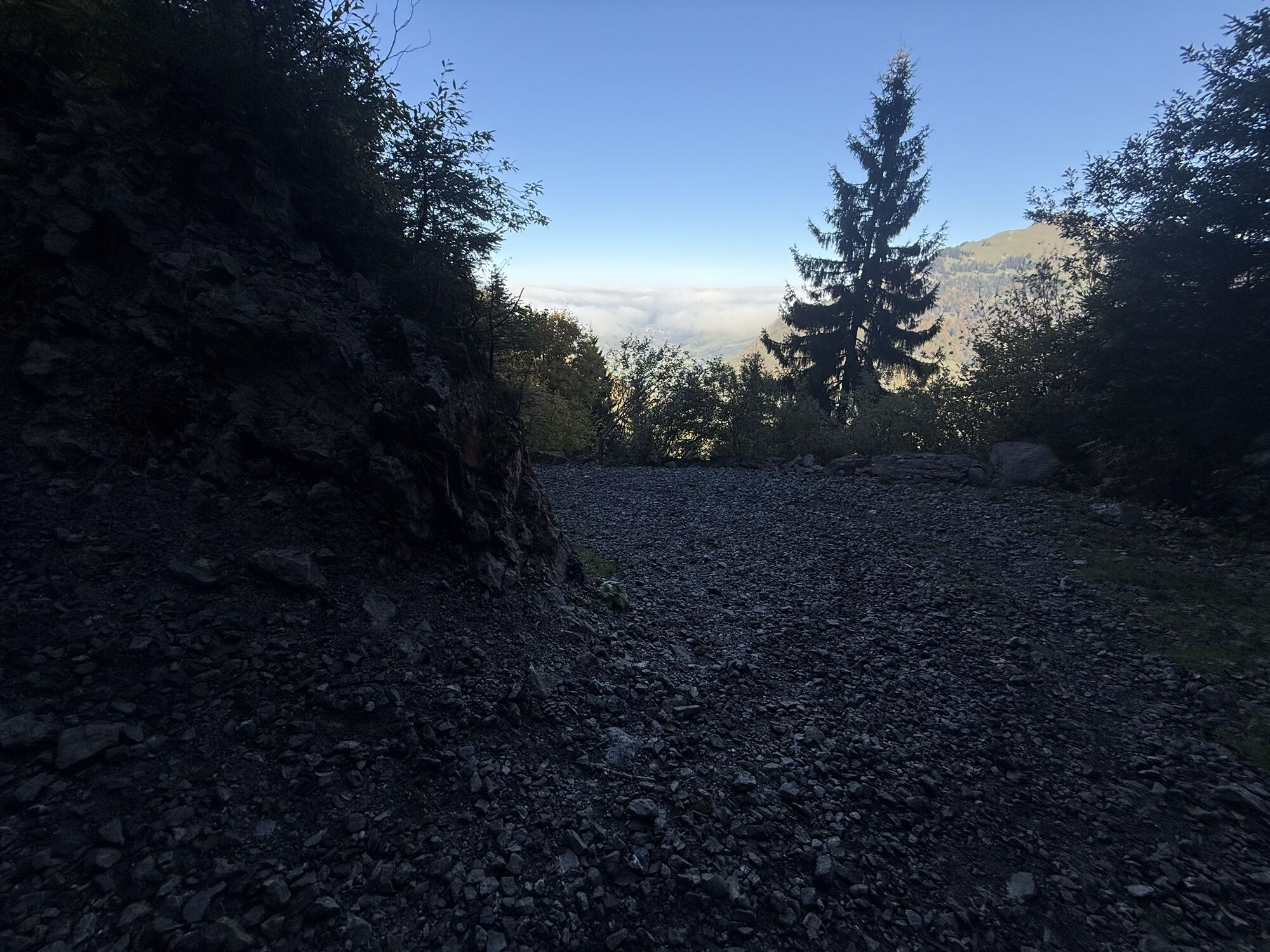
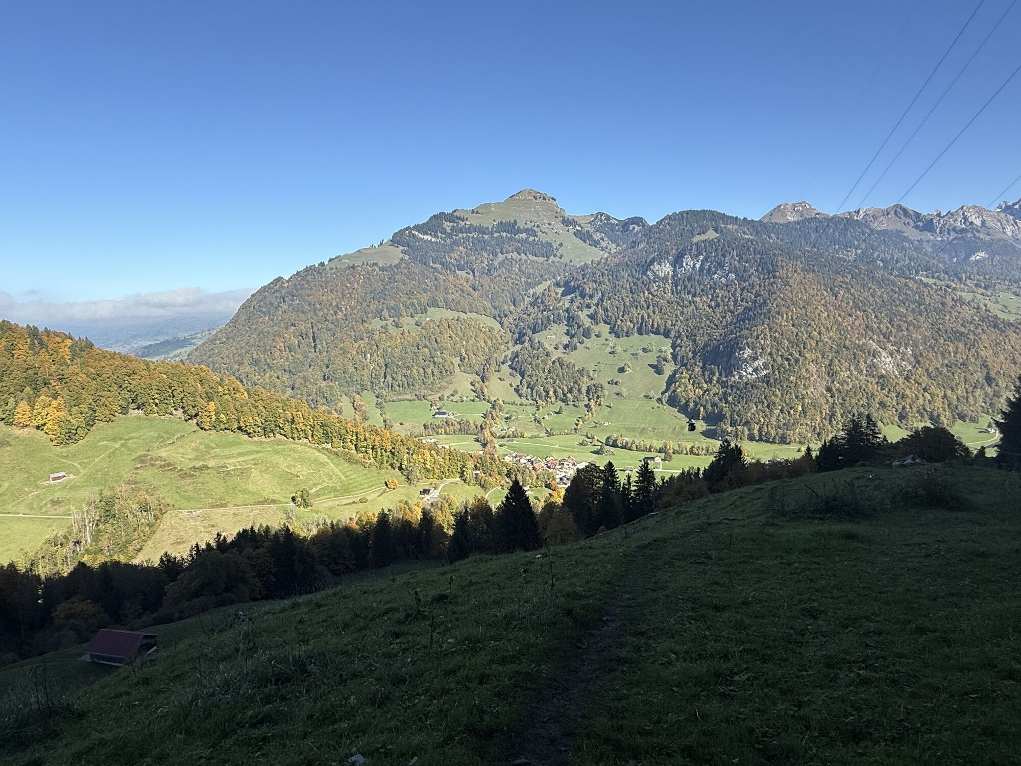
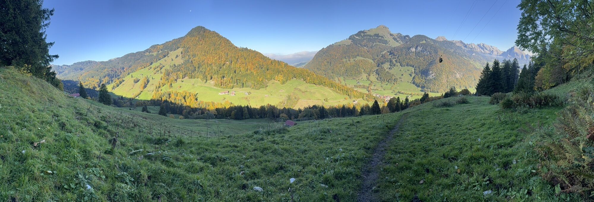
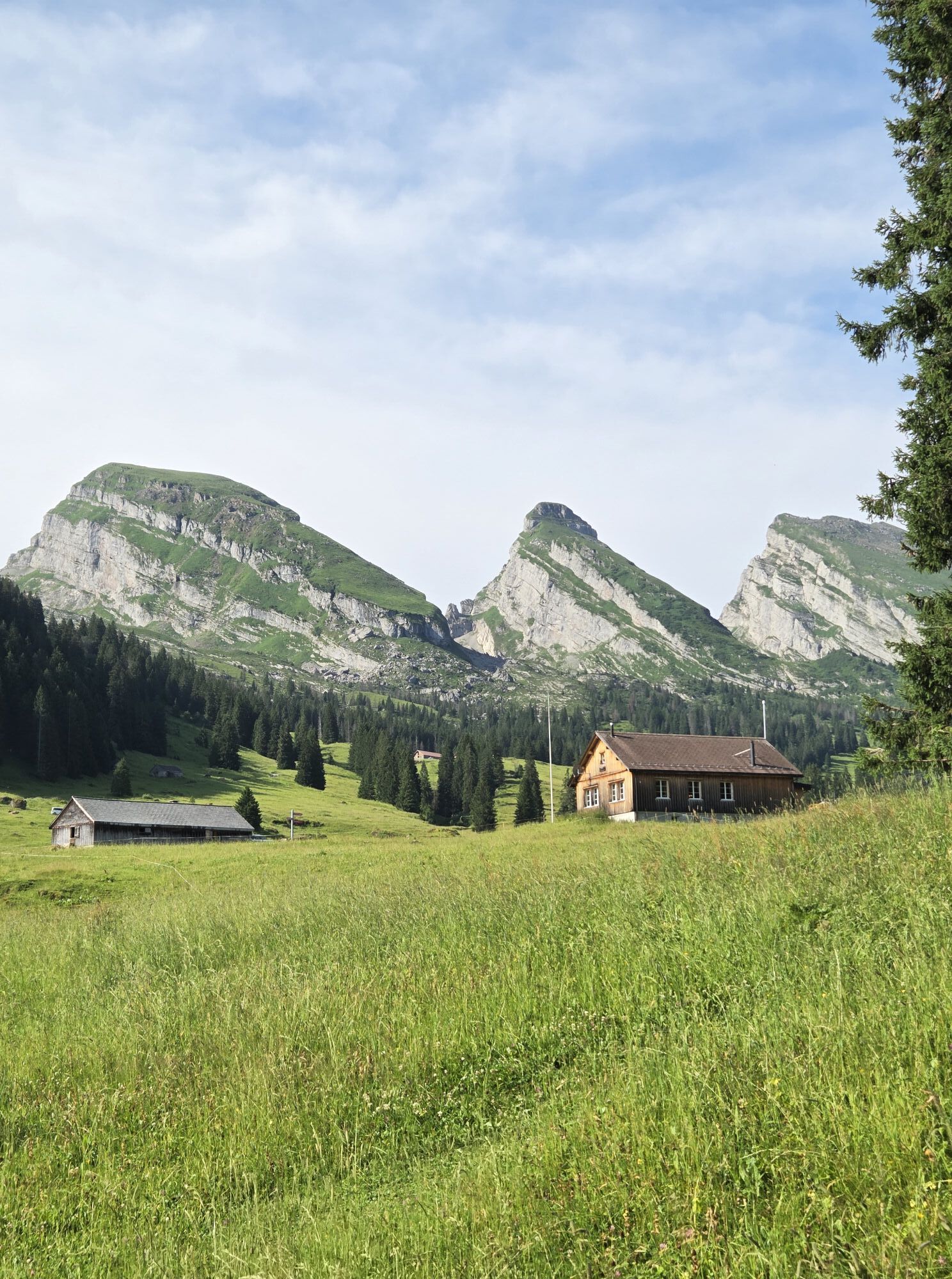
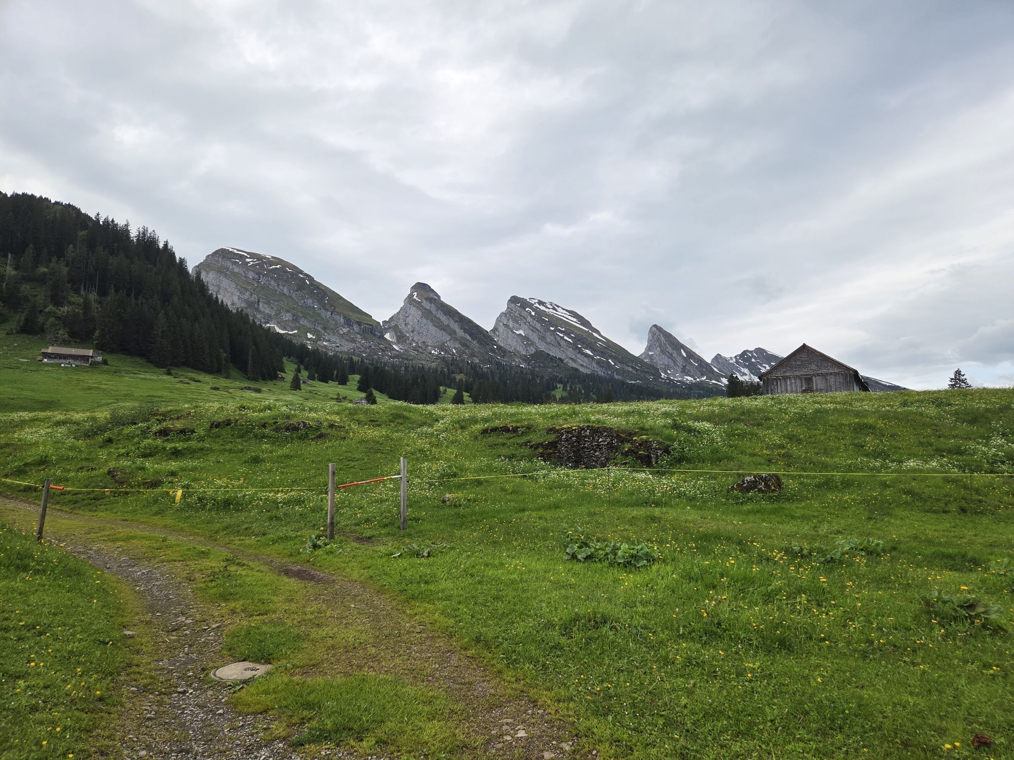
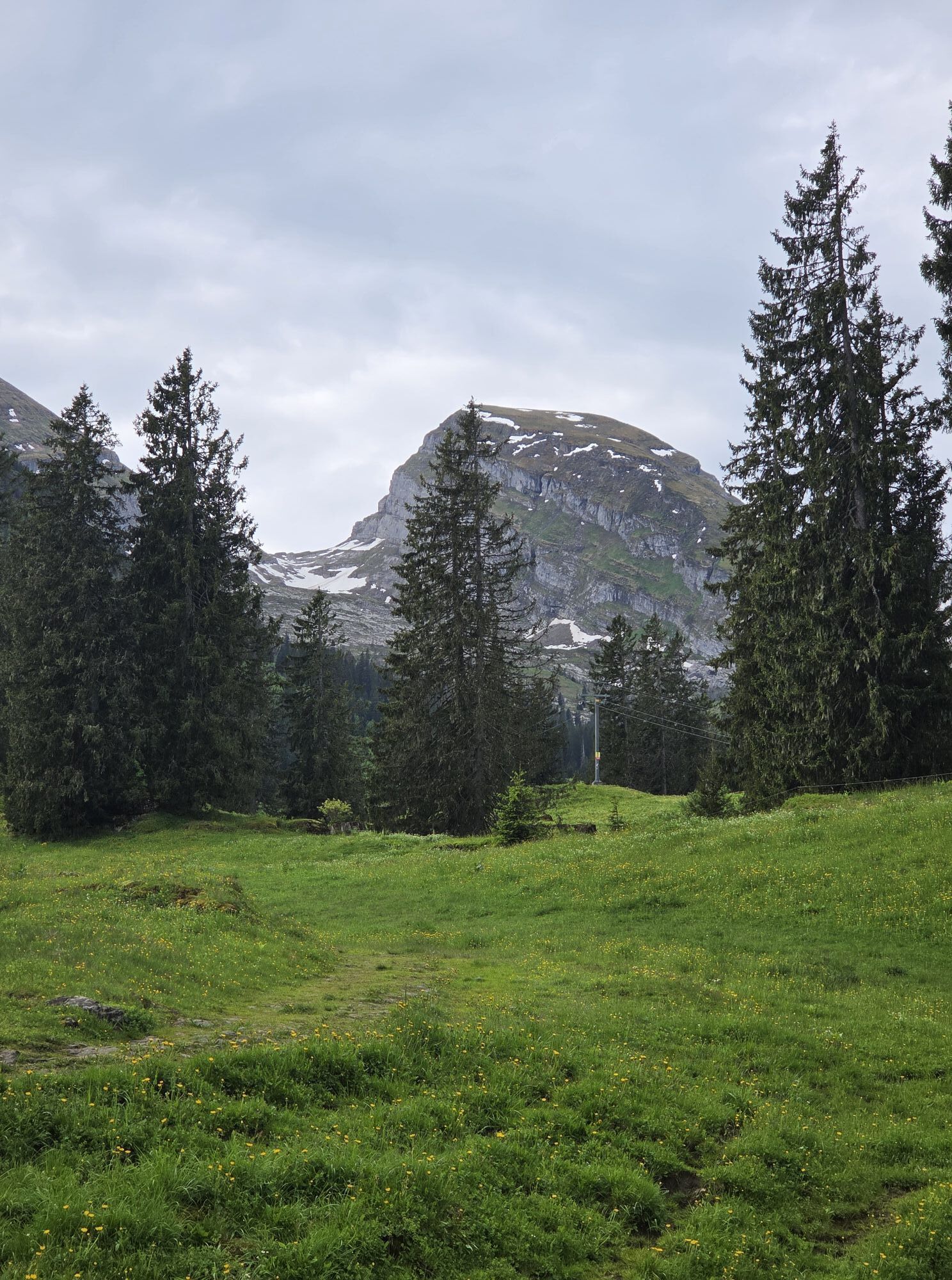
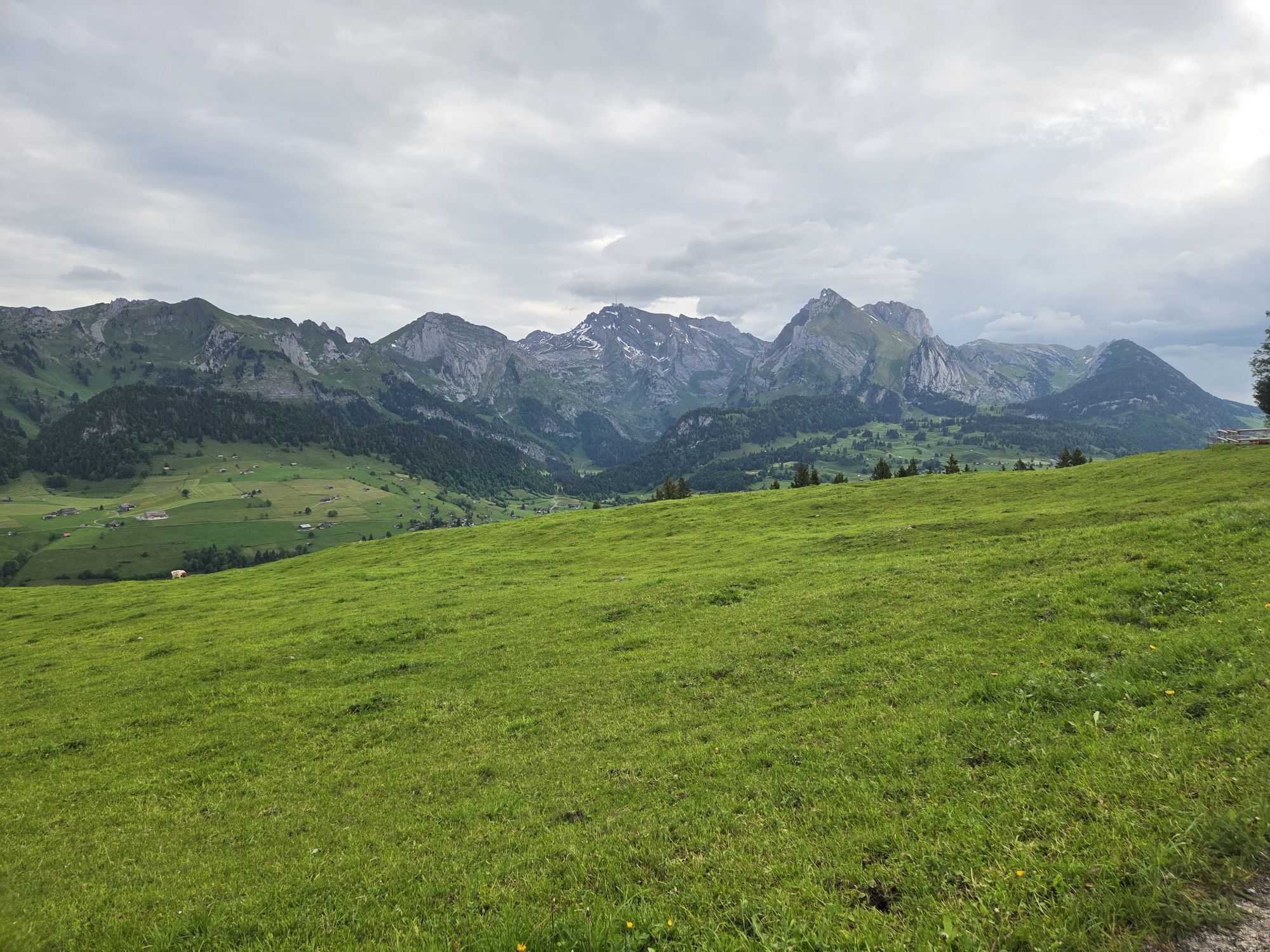
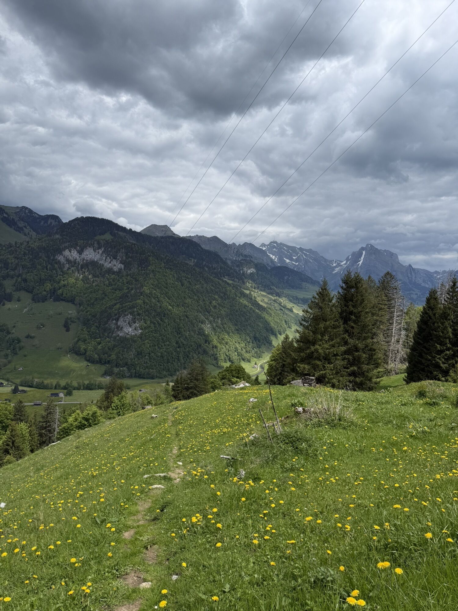
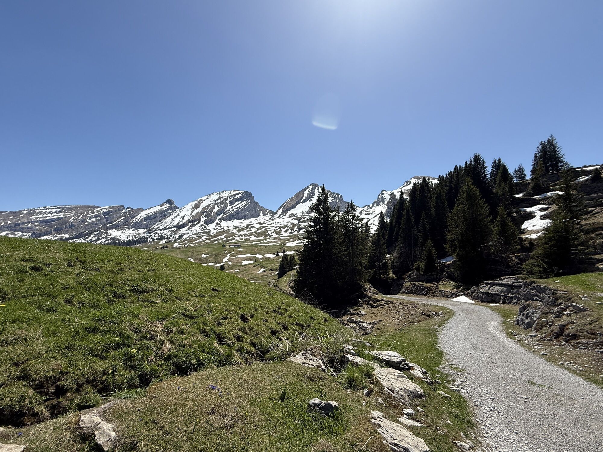
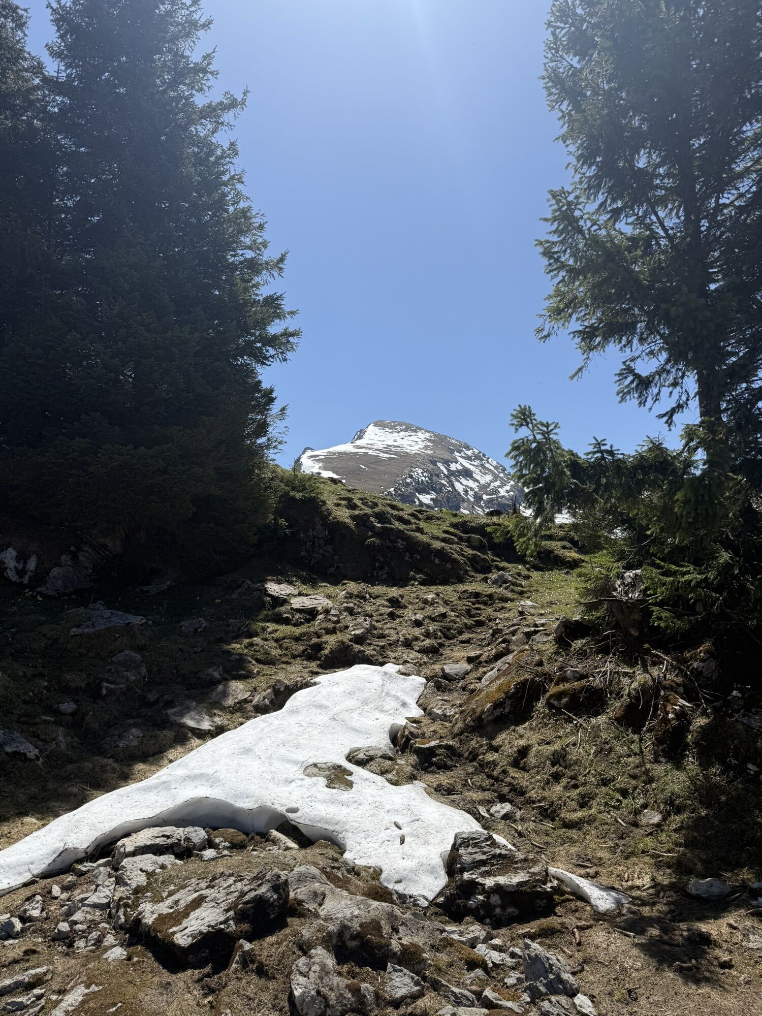
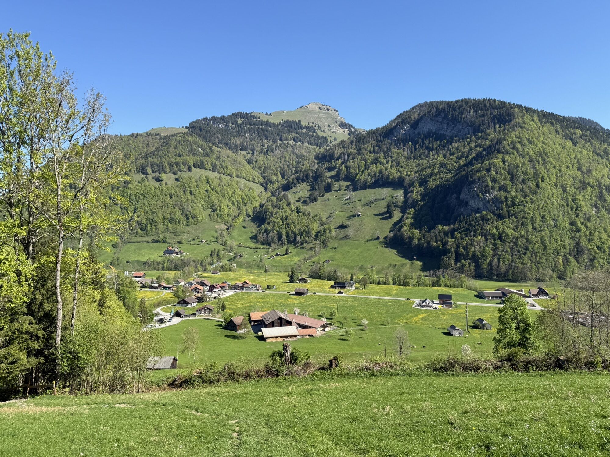
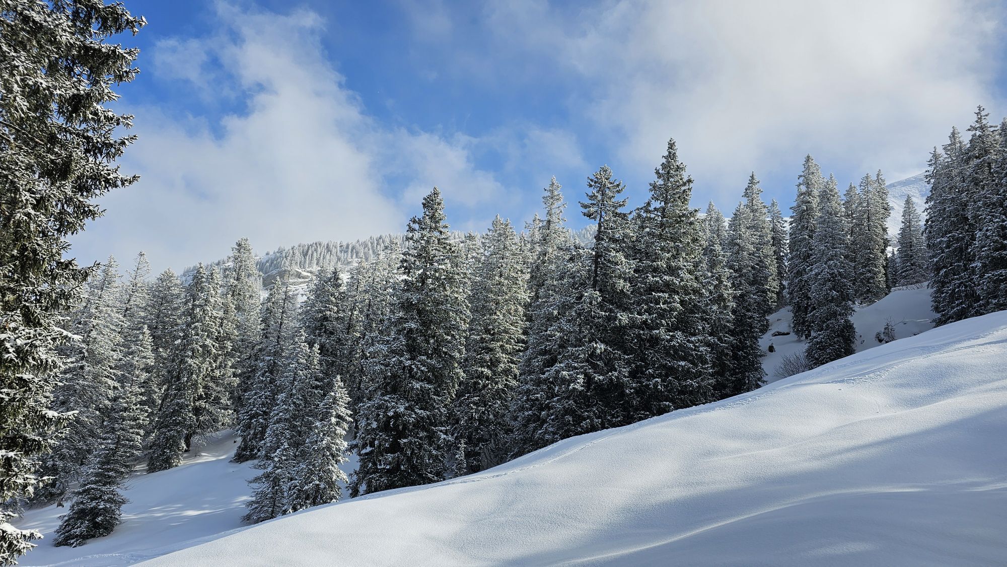
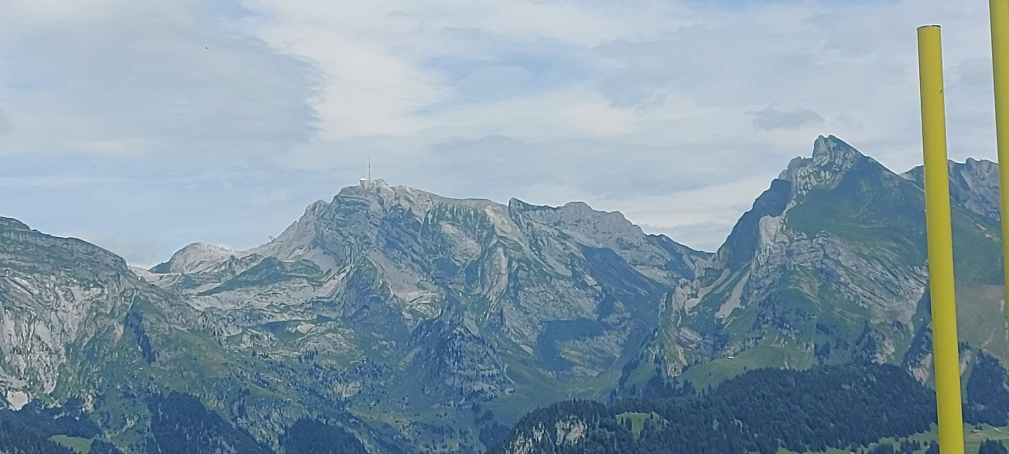
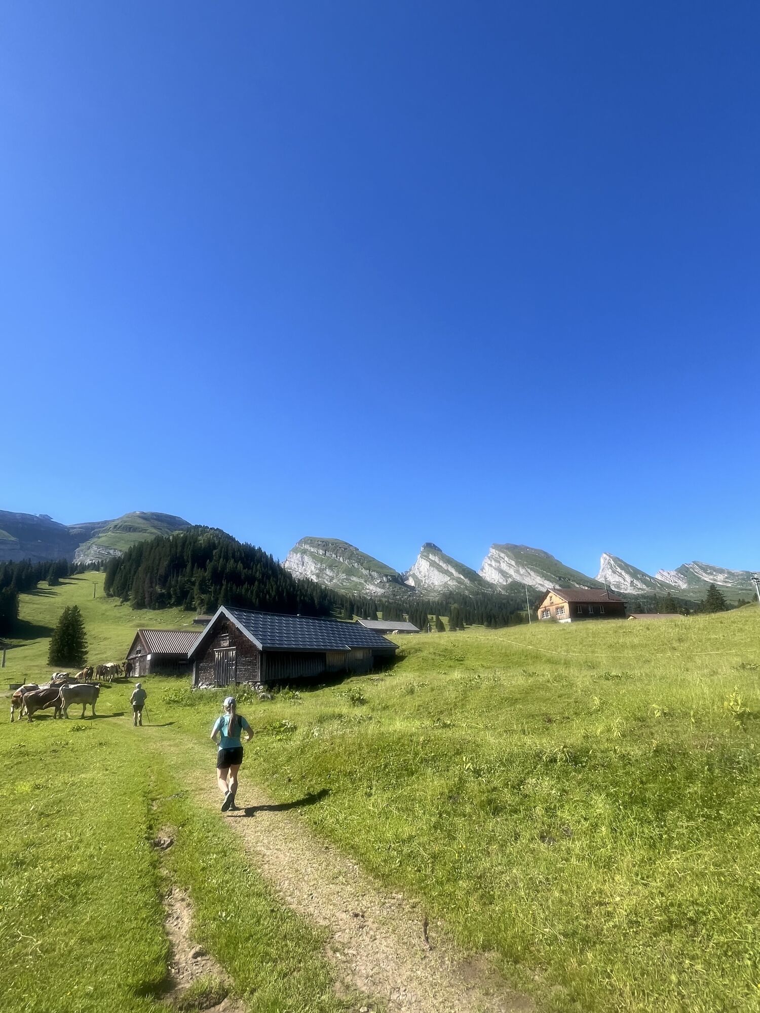

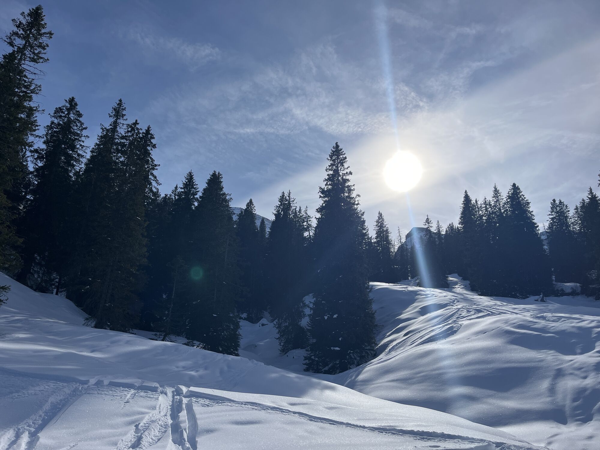
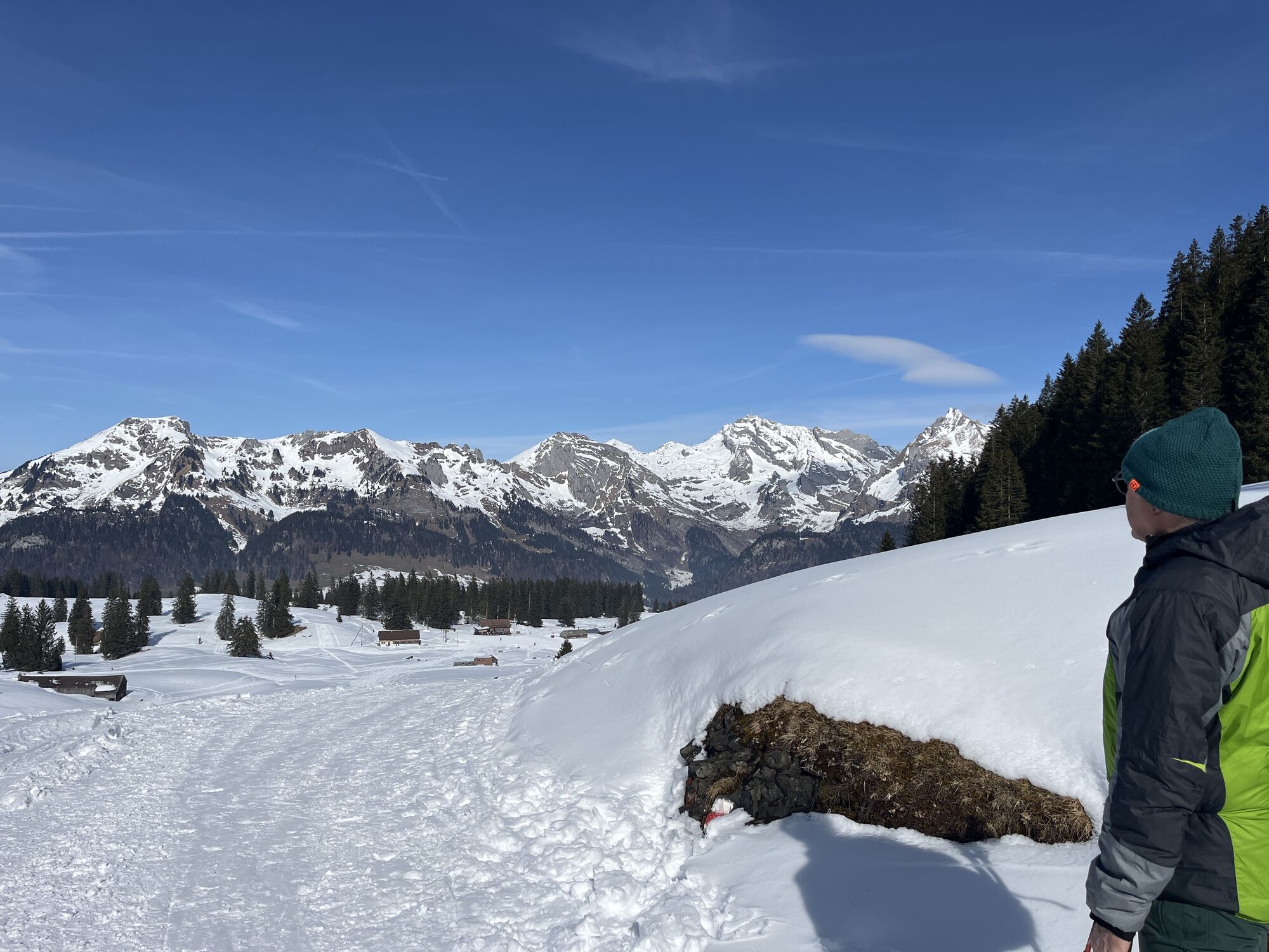
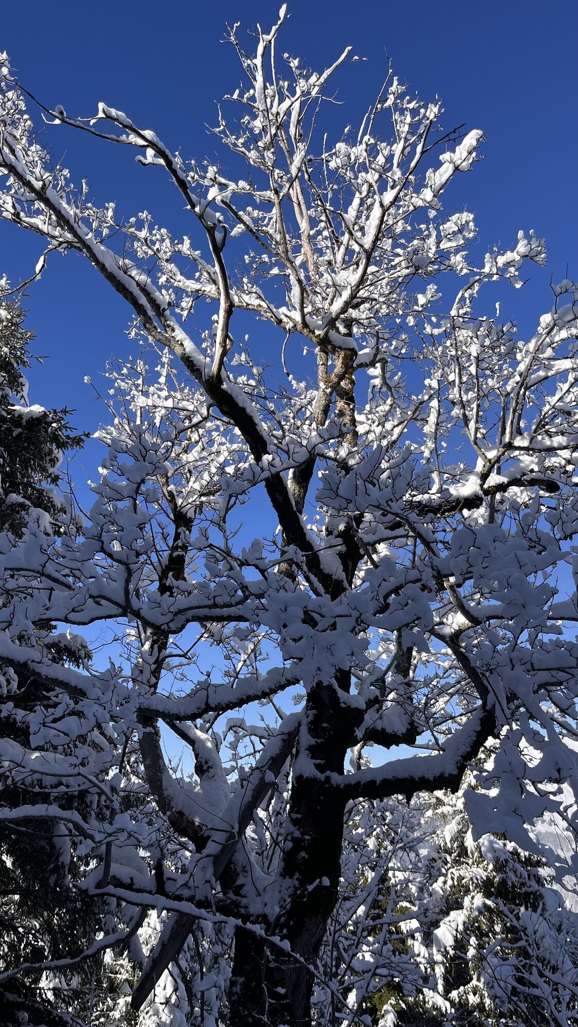
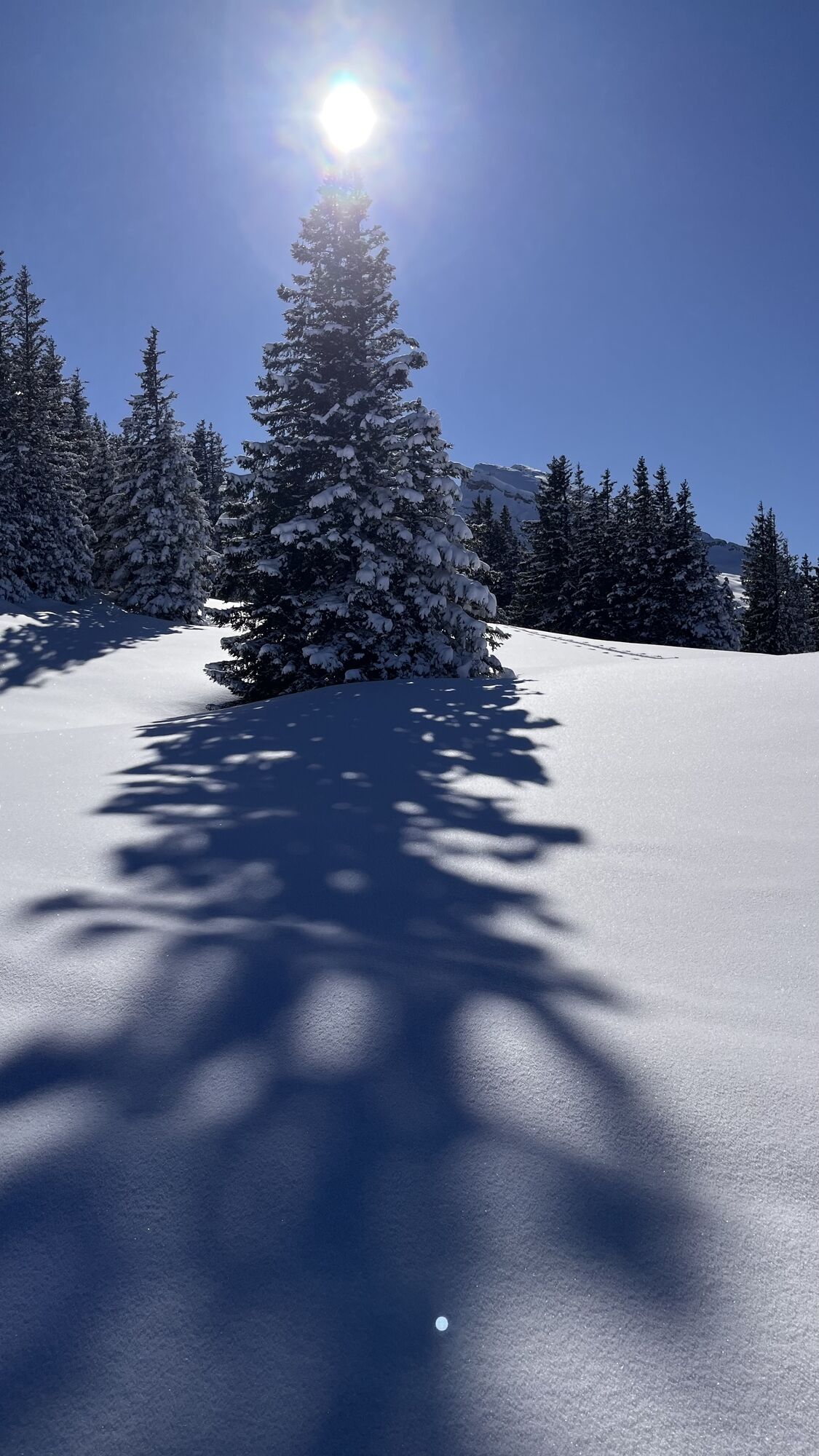
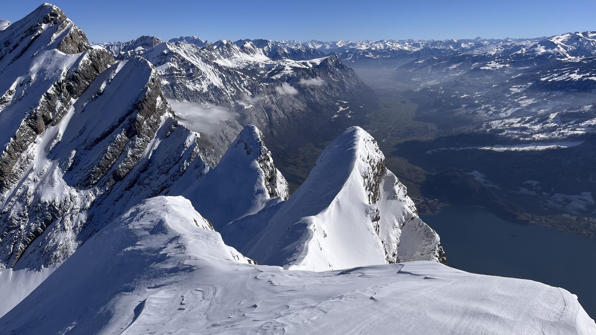
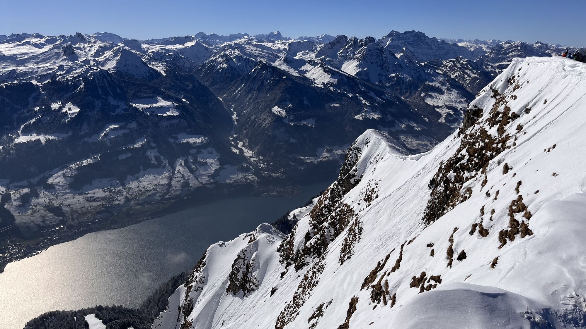
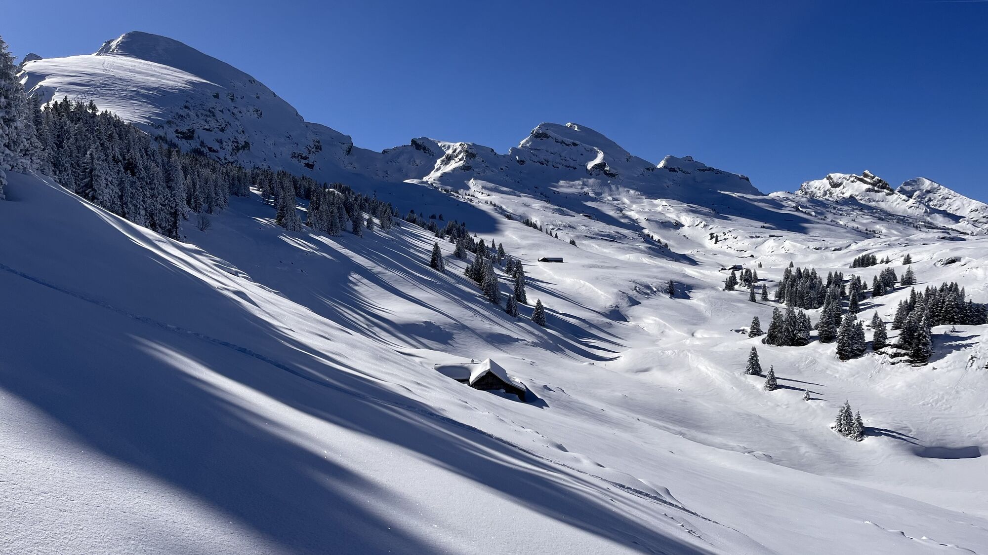
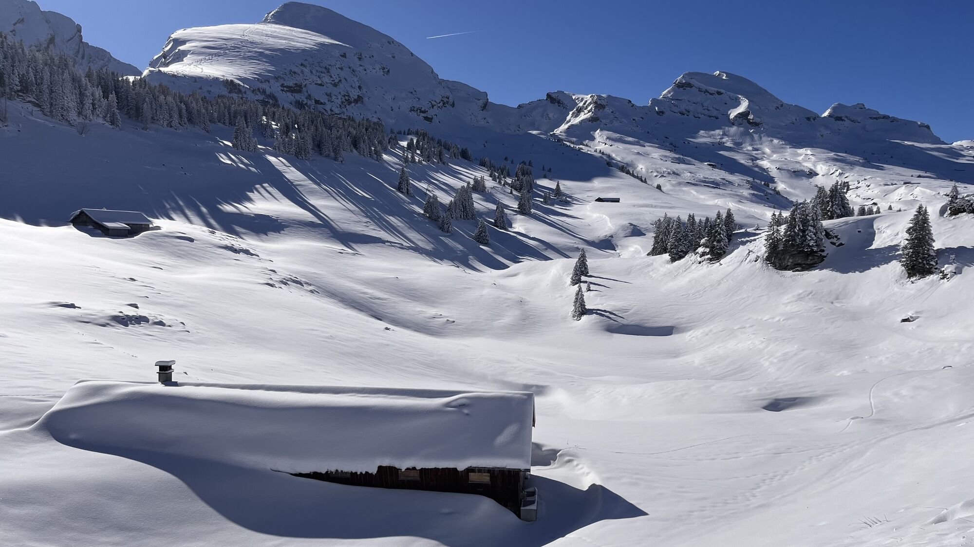
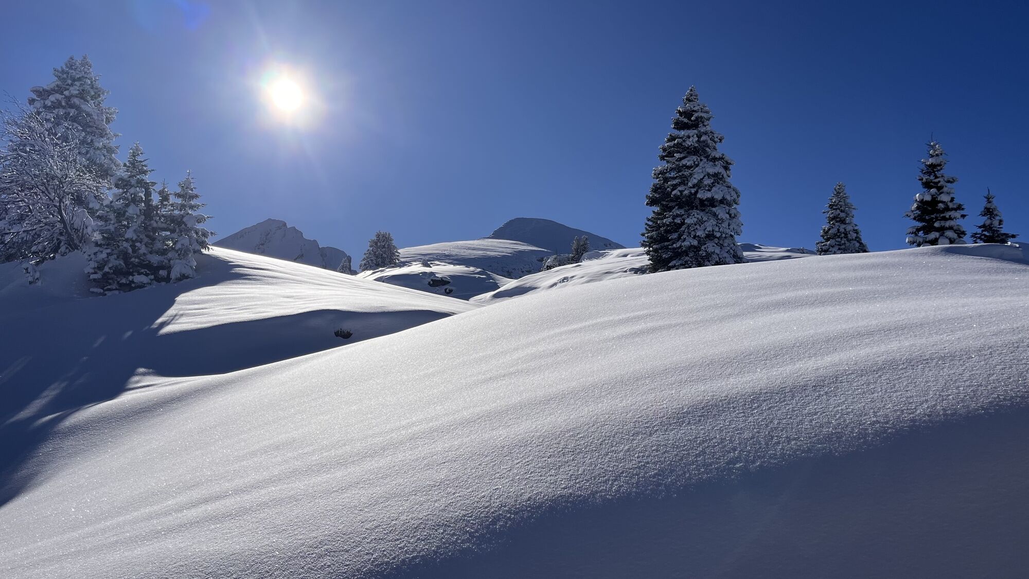
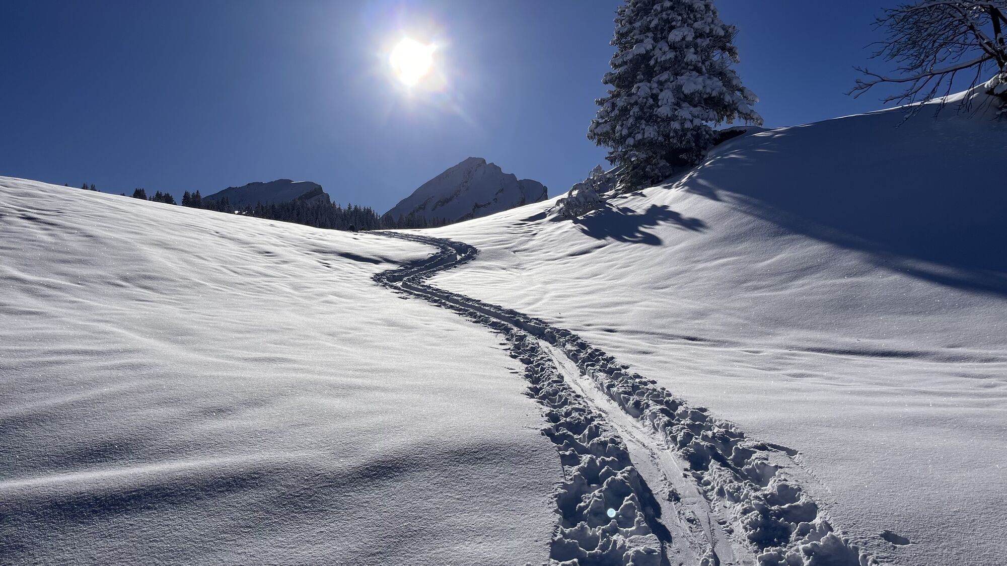
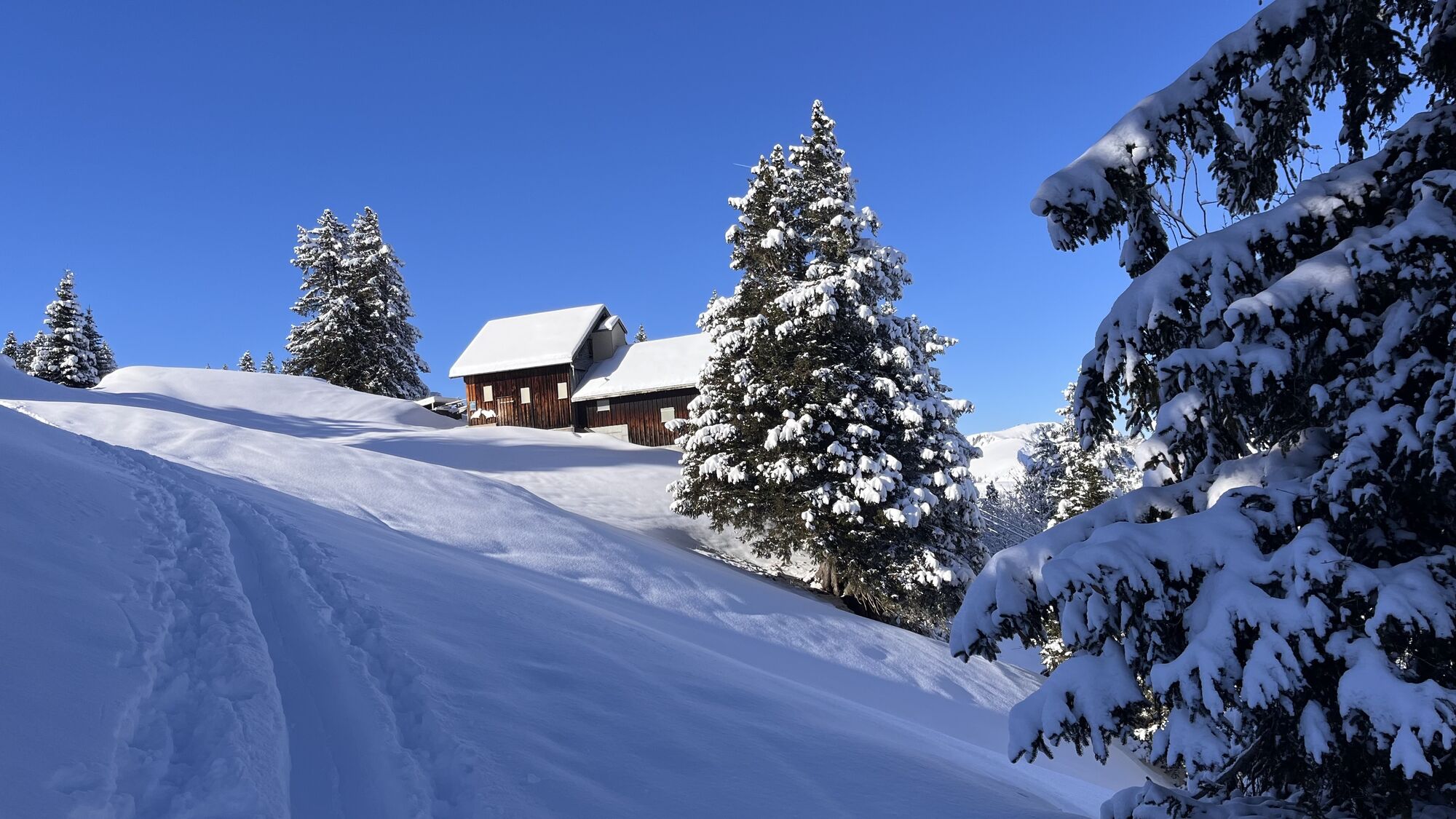
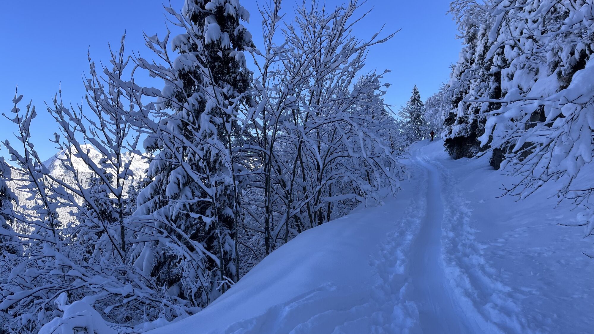
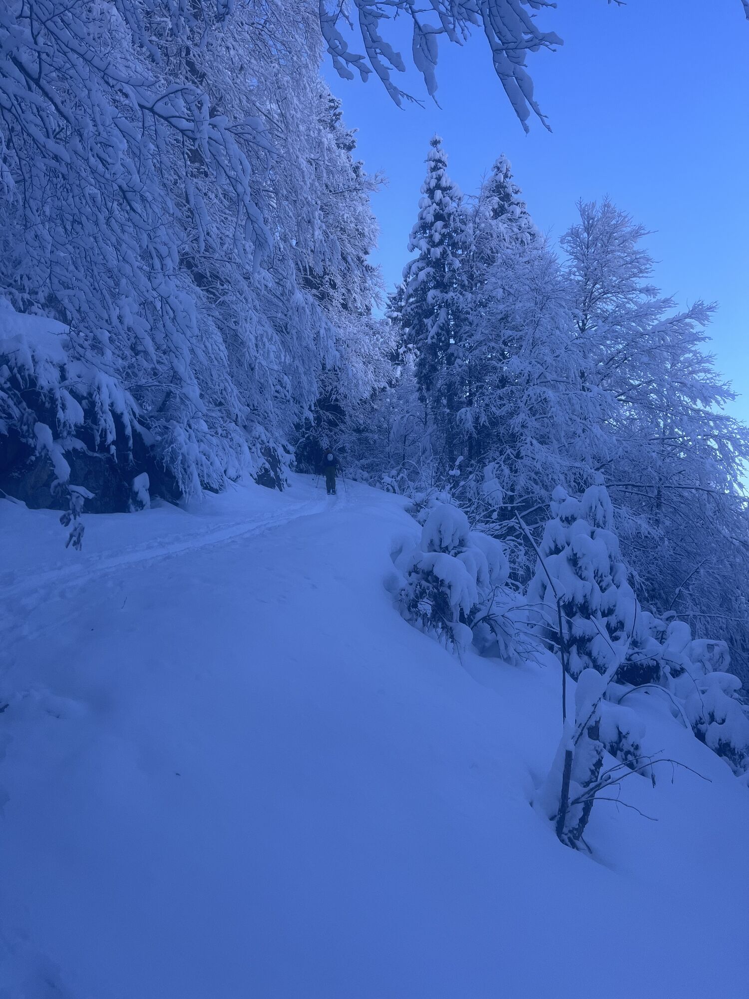
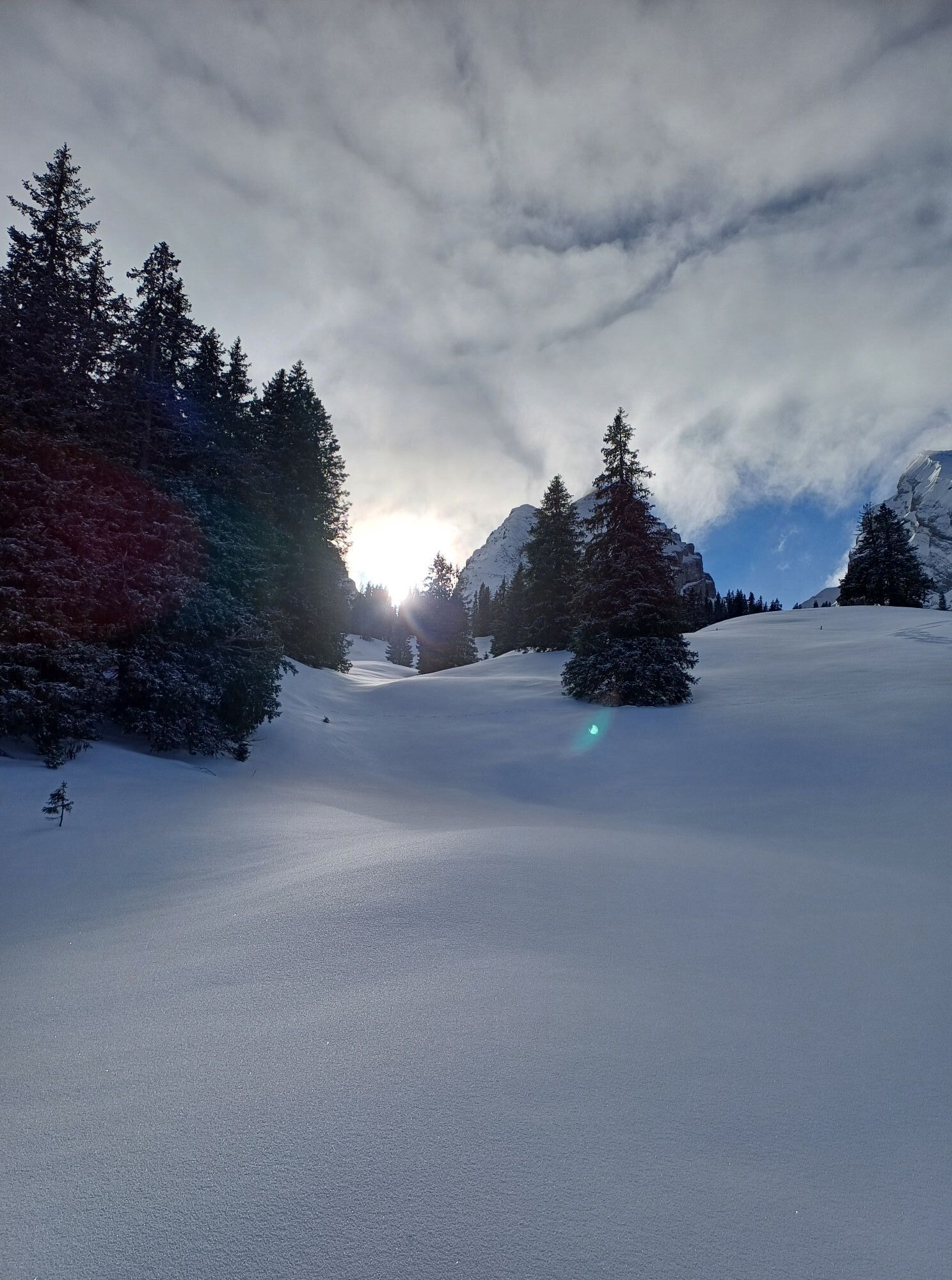
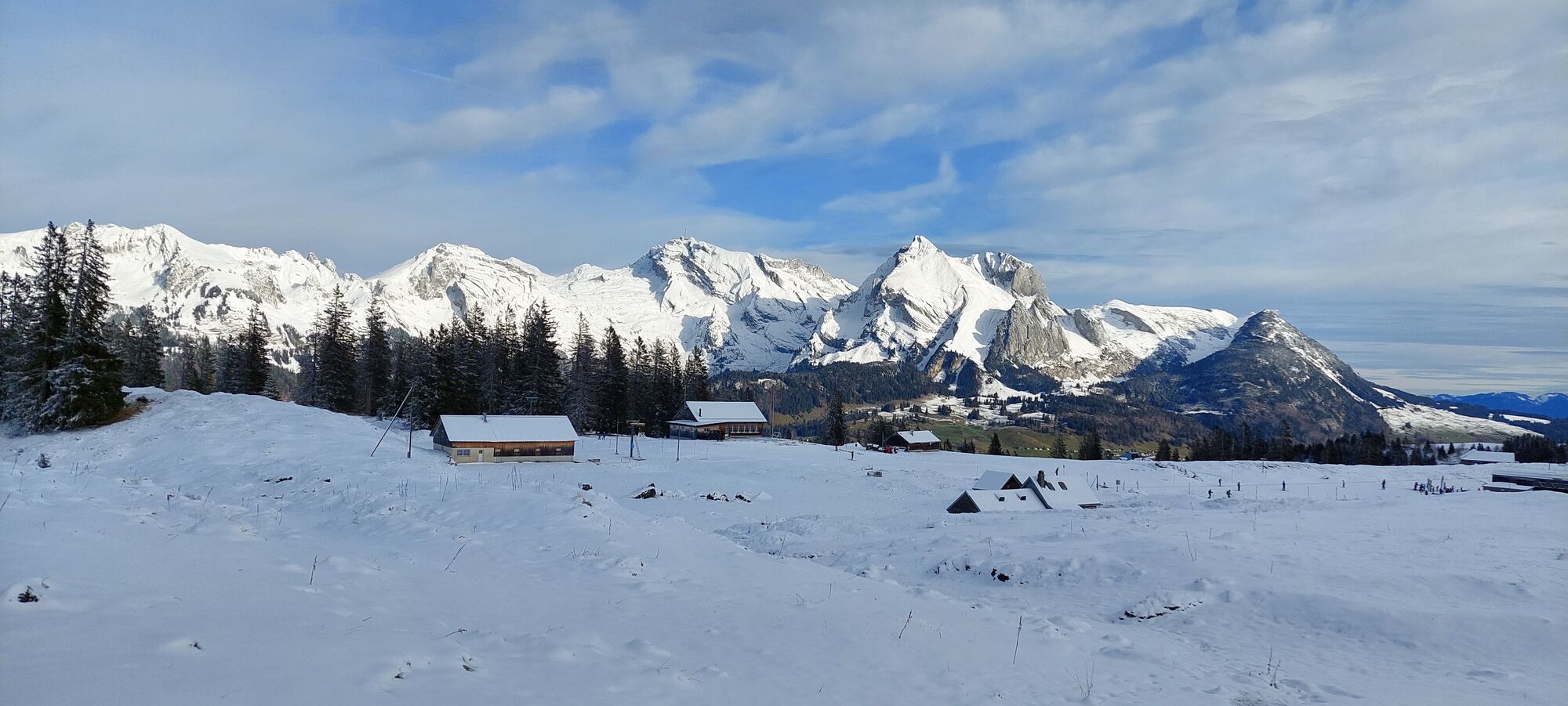
From the Eschen-Starkenbach PostBus stop, we hike to Säss and on the mountain path to Alp Hofstatt. Through the Selun forest, the path winds up in switchbacks to the mountain station of the Selunalp-Bahn....
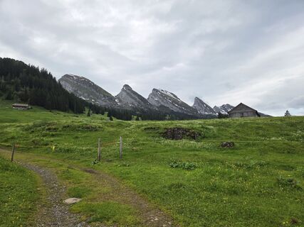
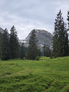
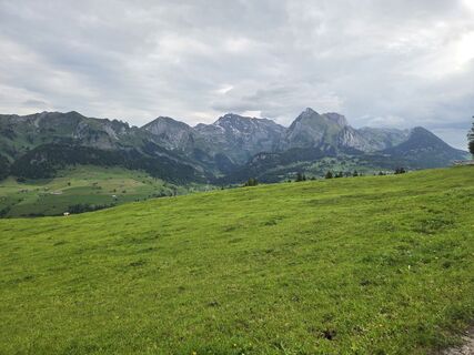
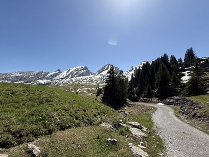
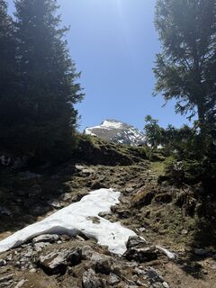
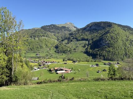
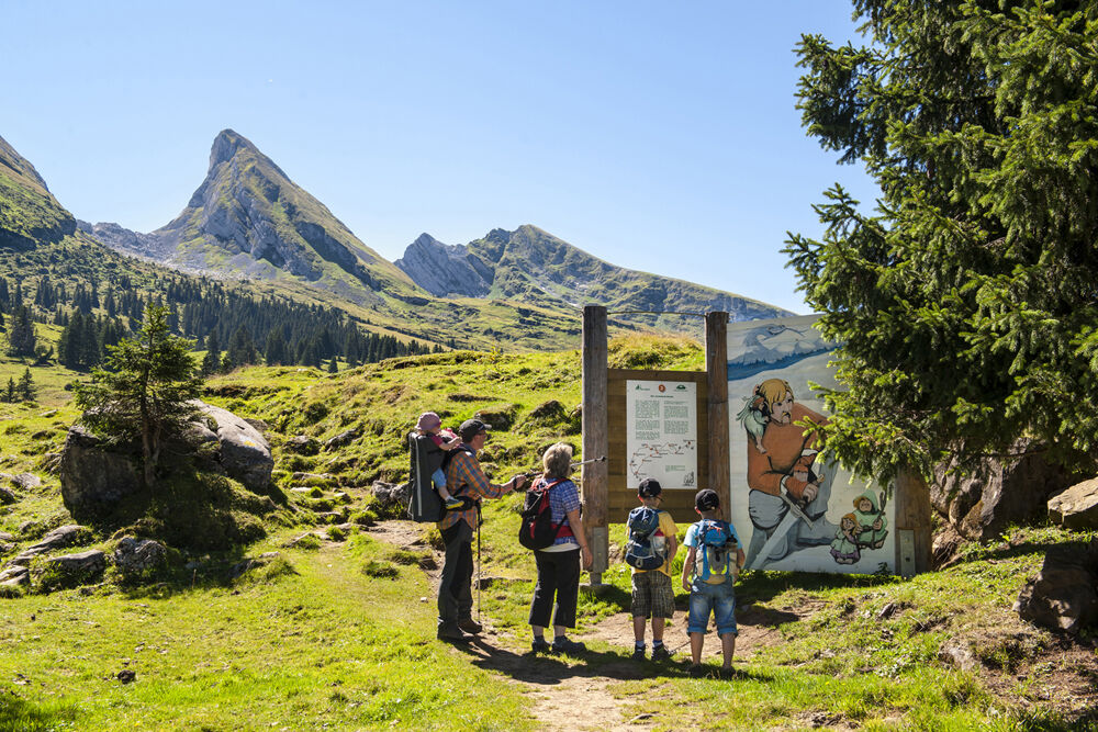
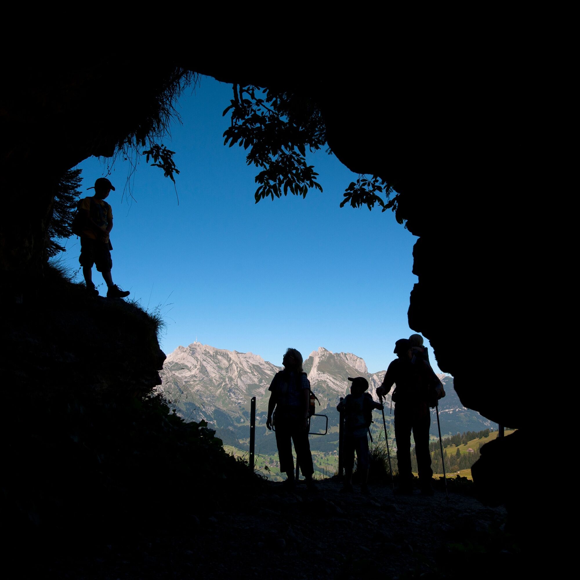
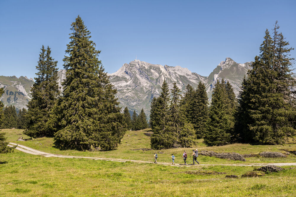
From the Eschen-Starkenbach PostBus stop, we hike to Säss and on the mountain path to Alp Hofstatt. Through the Selun forest, the path winds up in switchbacks to the mountain station of the Selunalp-Bahn. Of course, you can also take the "box lift" from Starkenbach up (option A). On the alpine road, we reach Strichboden, then the ascent begins on the broad ridge of the Selun, the westernmost of the seven Churfirsten. We will not forget the wide view quickly. The descent to Selunalp leads back along the same path to Strichboden, then we hike to the staffed alpine hut "Zum wilden Mannli" and to the legendary Wildenmannlisloch. With appropriate clothing and a lamp, the cave can be explored over a length of 125 m. Over Breitenalp we climb up to Thurtalerstofel. We now follow the legend trail, which leads us with picture and text panels through the legend world of Toggenburg, to the Selamatt mountain station. Down to Alt St. Johann, we use the chairlift or hike via Chueweid and through the Pfruendwald to Espel to the valley station (option B).
See also
Toggenburg Tourism
Hauptstrasse 104
CH-9658 Wildhaus
Tel: +41 (0)71 999 99 11
E-mail: info@toggenburg.swiss
Internet: www.toggenburg.swiss


Starkenbach (891 m) - Säss (906 m) - Selunalp (1579 m) - Selun (2204 m) - legend trail - Selamatt (1390 m) - Alt St. Johann (891 m)
MAPS: www.sg-wanderwege.ch/
CATERING POSSIBILITY: Berghotel Sellamatt, mountain station chairlift Alt St. Johann-Selamatt, www.sellamatt.ch
Alpine farm Zum Wilden Mannli, www.wildmannli.ch
Webové kamery z prehliadky
Získajte prehľad
Vždy naživo na mieste s viac ako 9 500 webovými kamerami. bergfex Ako používateľ Pro si teraz môžete pozrieť príslušné webové kamery pre mnohé zájazdy v aplikácii zájazdy z. Môžete si tak priamo prezerať aktuálne podmienky.

Obľúbené výlety v okolí
-
4,7
Walensee Riviera Weesen - Quinten
strednáTuristika 10,2 km -
4,7
Riviera Lake Walen Walenstadt-Quinten
strednáTuristika 10,4 km -
4,9
Säntis-Gipfeltour, Wasserauen / Appenzell Innerrhoden
ťažkéTuristika 21,1 km -
4,7
Alvier
strednáTuristika 3,33 km -
4,6
4-Summit-Route Flumserberg
strednáTuristika 8,65 km -
4,6
Schwägalp - Berggasthaus Tierwies - Girenspitz - Säntis
ťažkéTuristika 4,83 km -
5,0
Schrina Alp and Cultural Trail
strednáTematická trasa 11,5 km -
4,7
Quinten-Trail 453
strednáBeh 8,97 km -
4,8
Mountain route over Rotsteinpass to Säntis
ťažkéTuristika 8,53 km -
4,7
Mädems Trail
strednáSnežnice 7,48 km

Turistika a stopovanie


Nenechajte si ujsť ponuky a inšpiráciu na ďalšiu dovolenku
Vaša e-mailová adresa bol pridaný do poštového zoznamu.





