



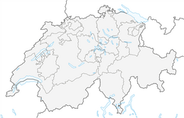


Route of Wonder Walenstadtberg
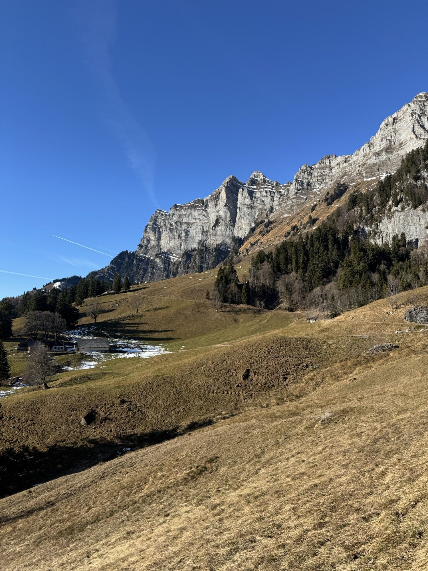
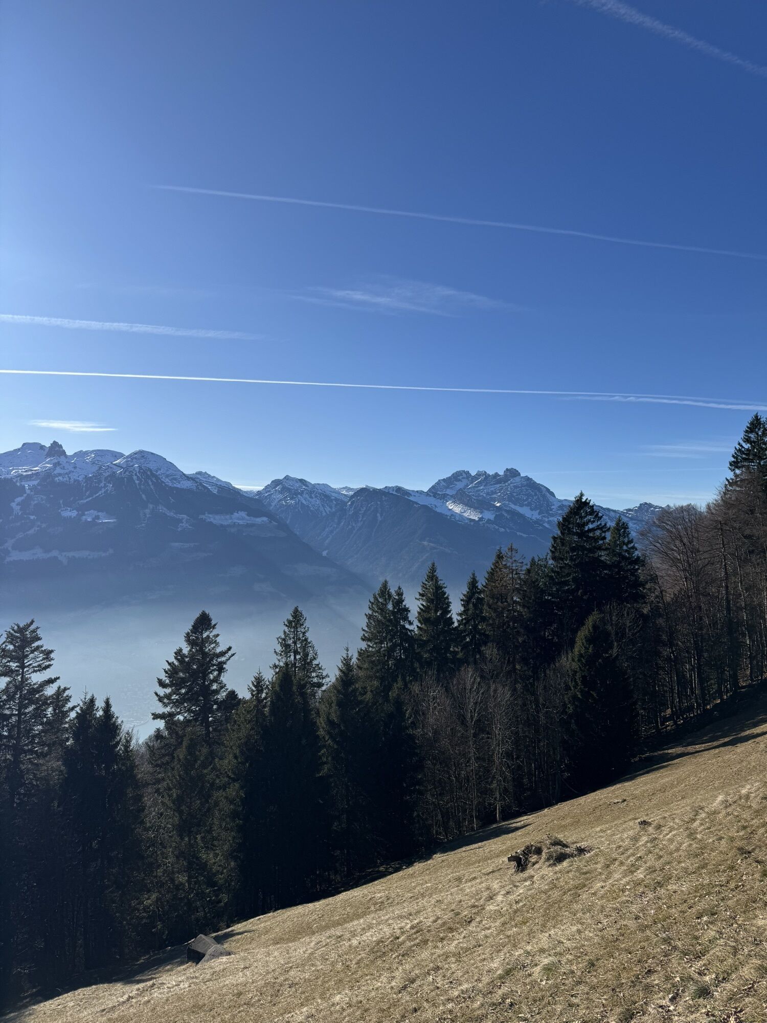
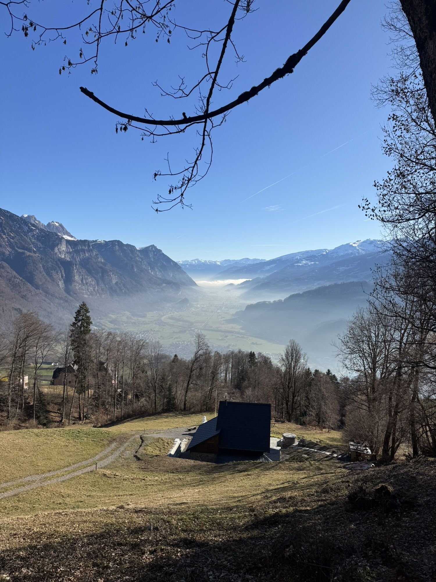
Take the bus from Walenstadt station to the Walenstadtberg Reha-Klinik stop. From there, follow the hiking trail to Schrina-Hochrugg and further along the signposts over Grund to the Paxmal. On the way...
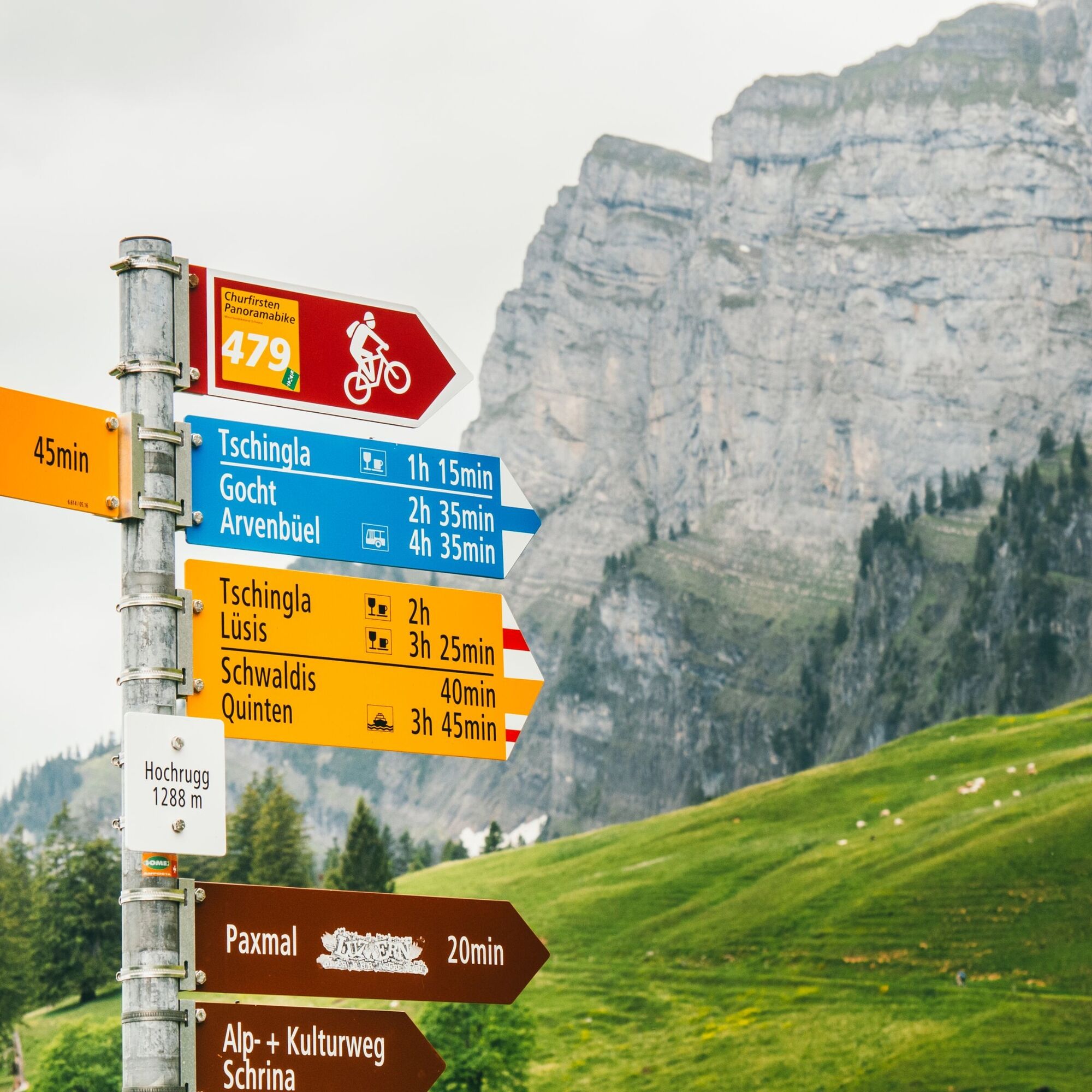
Take the bus from Walenstadt station to the Walenstadtberg Reha-Klinik stop. From there, follow the hiking trail to Schrina-Hochrugg and further along the signposts over Grund to the Paxmal. On the way back, follow the meadow path which turns left immediately after the Paxmal. Here you can observe interesting tree growths indicating energy zones. Via Hochrugg and Schönegg you will return to your starting point.
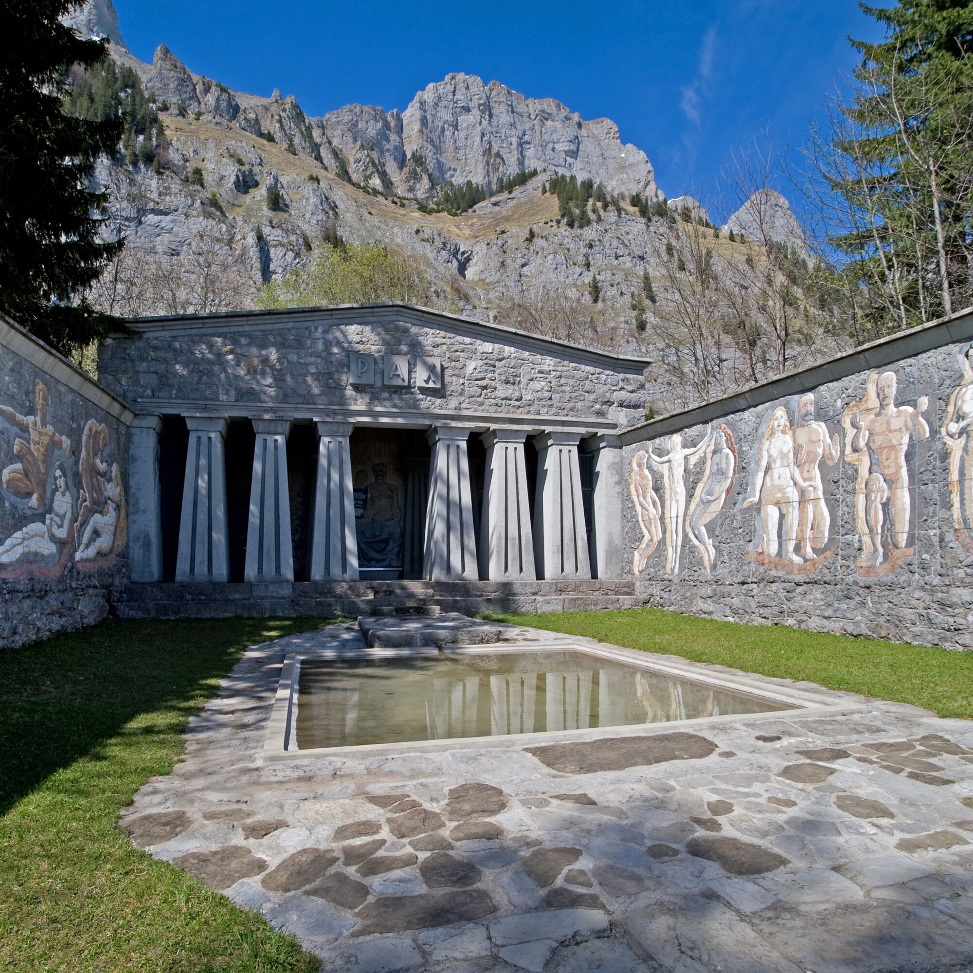
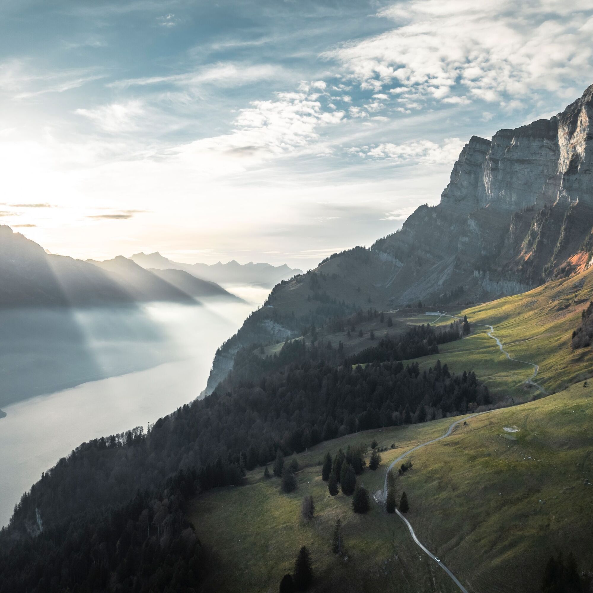
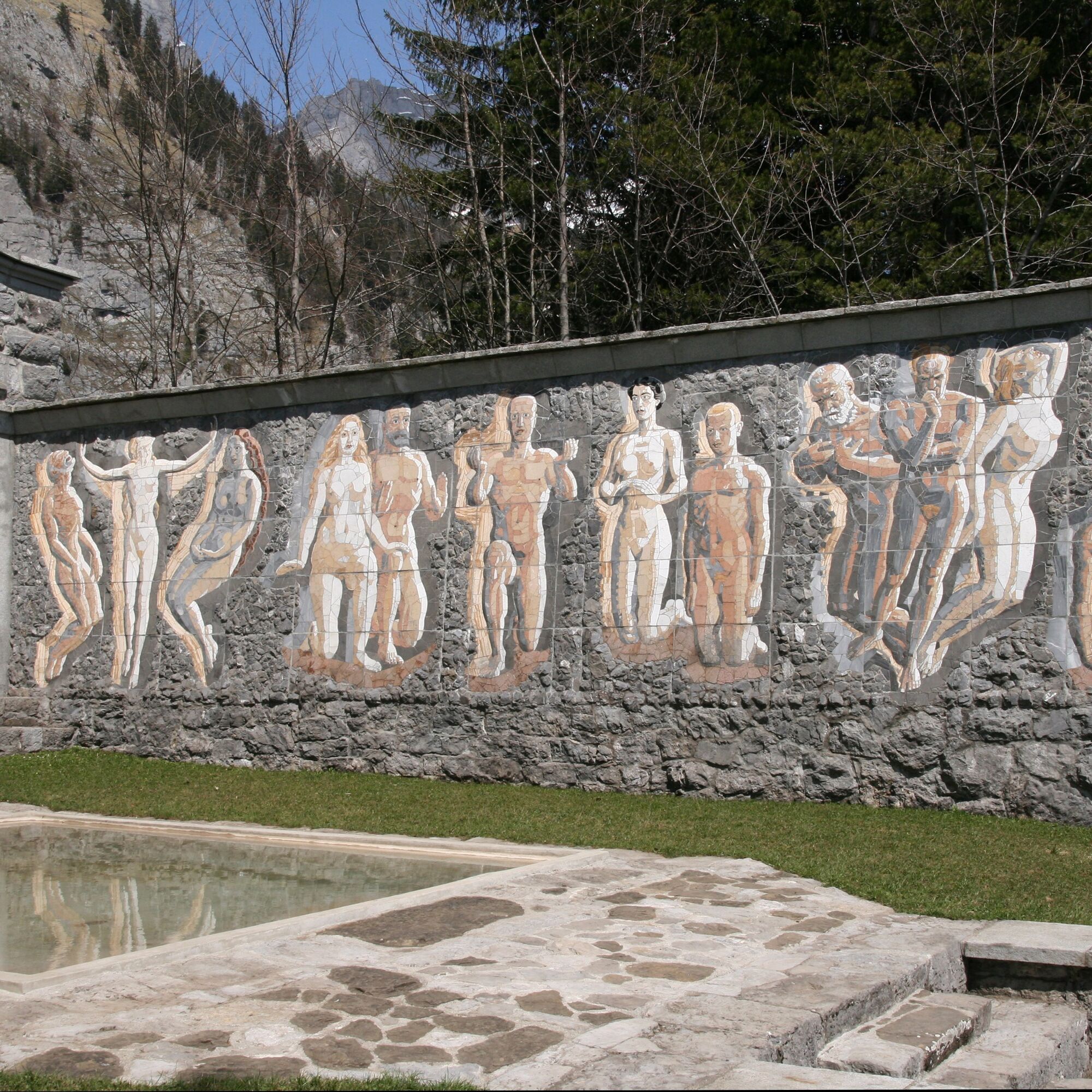
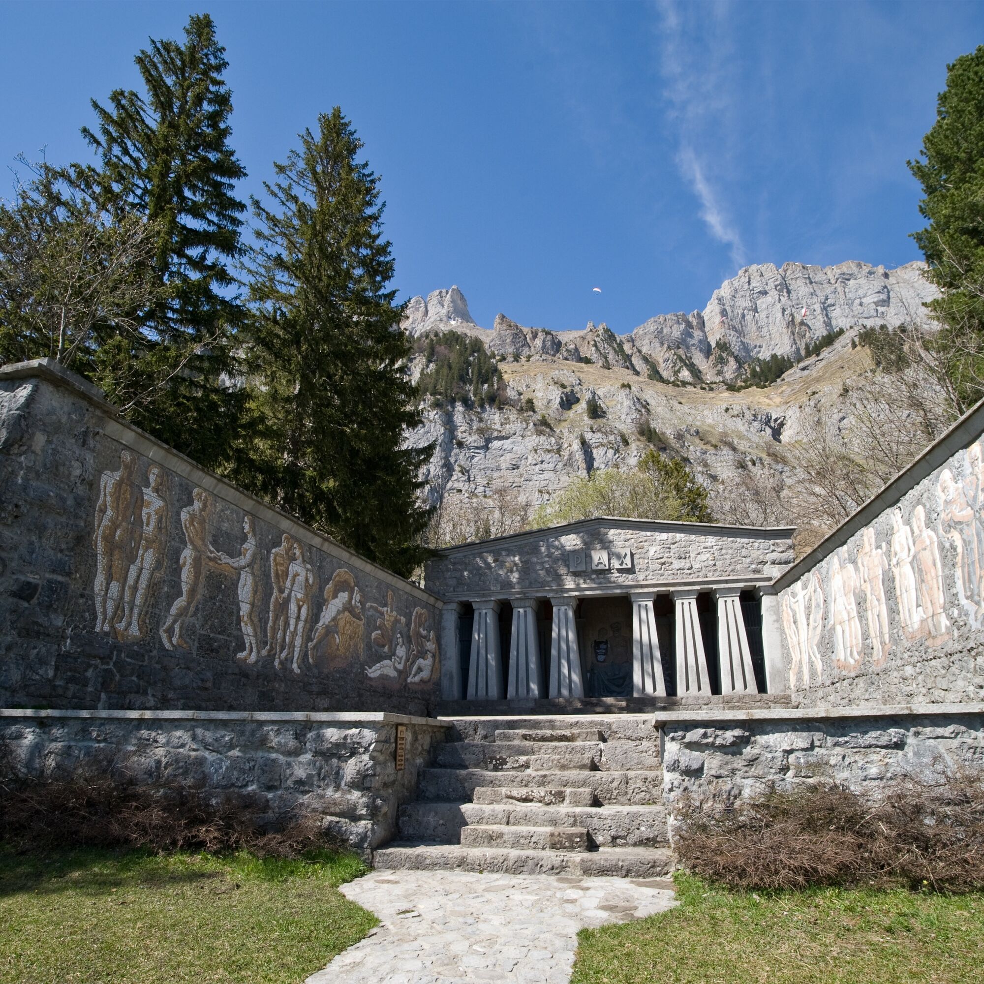
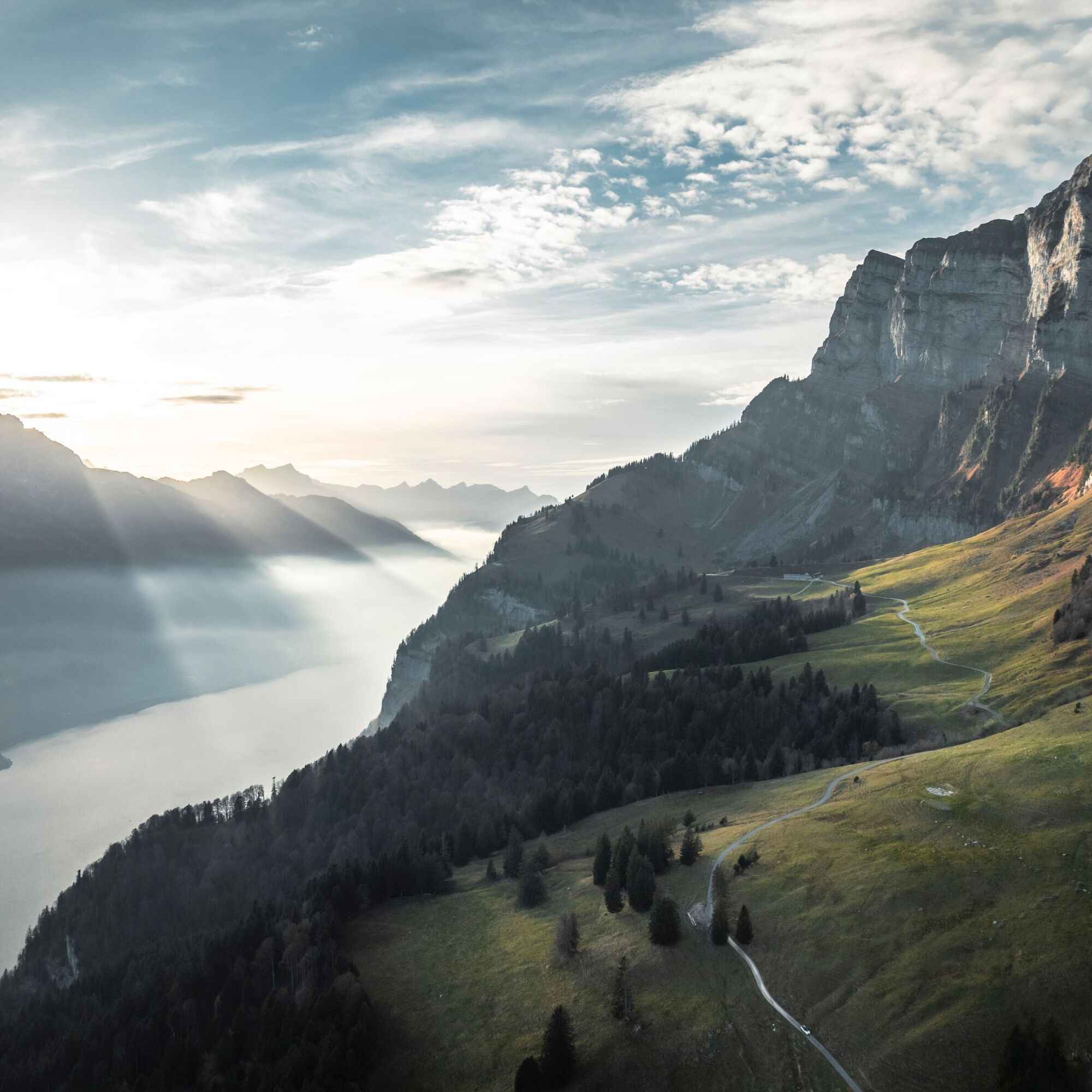
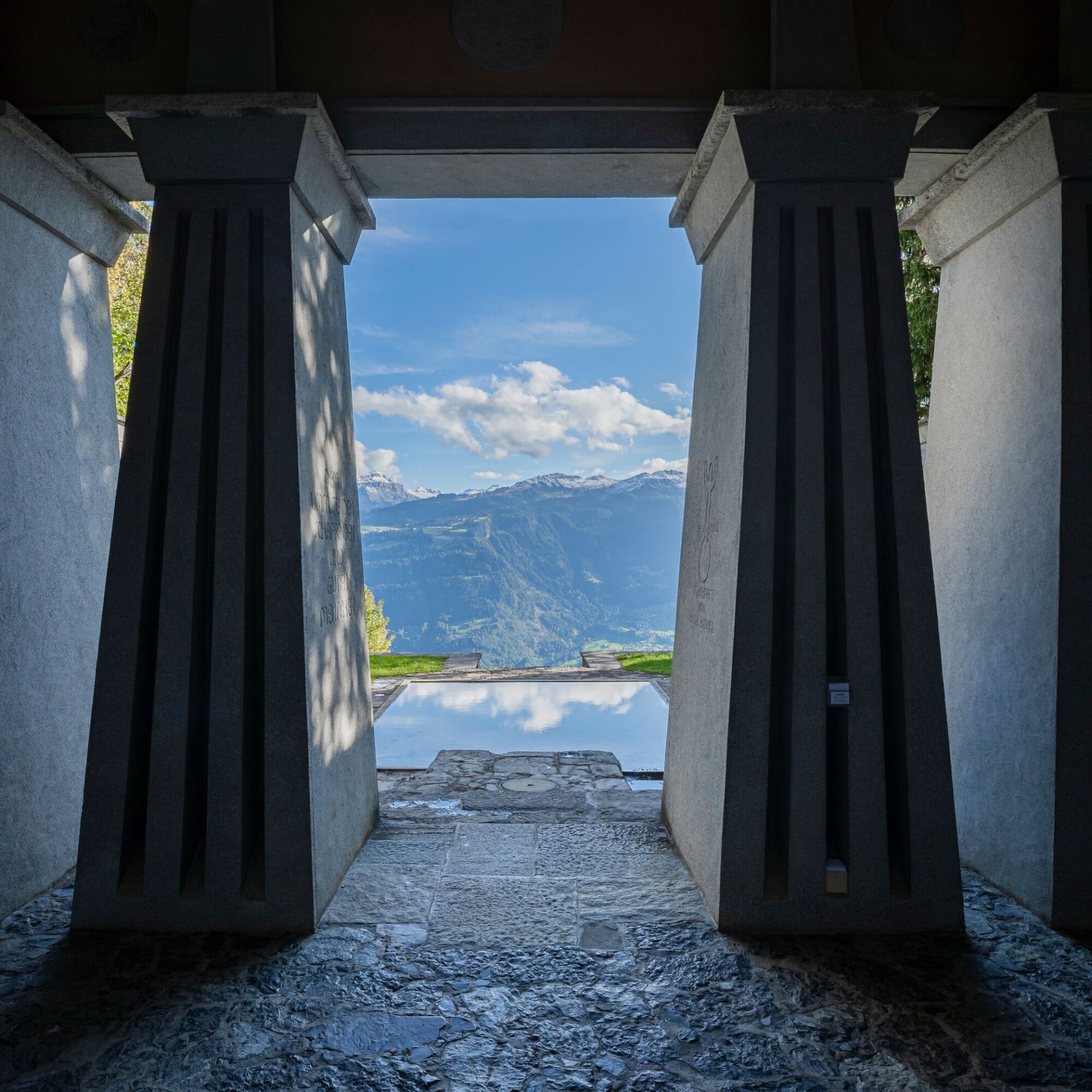
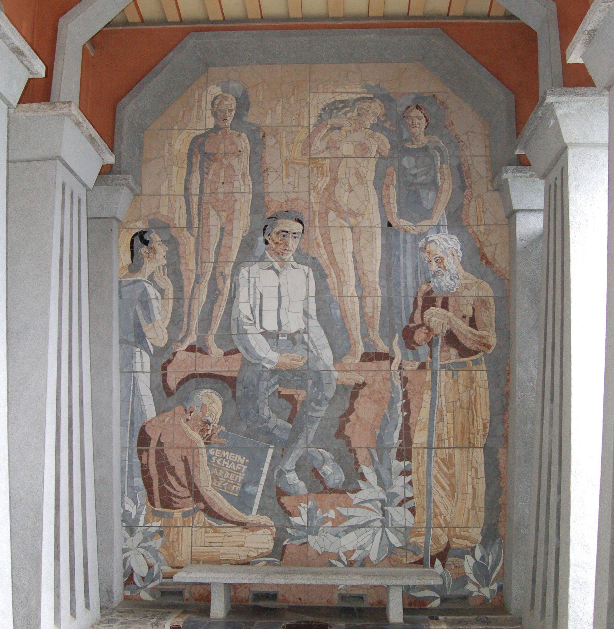
Paxmal: With the Paxmal, the peace monument whose basic idea is peace for all, Karl Bickel creates a place for inner reflection, meditation on humanity and its goals, its ways of life and social forms. Energetically, it does not quite reach the level of a power place. However, the proximity to the Churfirsten and the magnificent view over the deep blue Lake Walen make the Paxmal a very special place. Enjoy the spot between the monumental Churfirsten and Lake Walen, and engage with the artwork and its messages.


Walenstadtberg - Schönegg - Hochrugg - Grund - Paxmal - Schönegg - Hochrugg - Walenstadtberg
Áno
Normal hiking equipment. Closed, sturdy footwear is recommended.
Take the Walenstadt highway exit and follow the signs to Walenstadt. After about 900 meters, turn right onto Tremlastrasse and follow the road until you reach Bergstrasse. This will lead you to Walenstadtberg.
By train to Walenstadt. Then continue by bus 443 to Walenstadtberg to the Reha-Klinik stop.
Parking spaces are available before you reach the Reha-Klinik.
At Schrina-Hochrugg, the themed hike Alp- and Culture Trail Schrina is also offered, with free brochures available at the starting point at Schrina-Hochrugg.
Heidiland Tourism, Flumserberg Information Office
T +41 81 720 18 18
www.heidiland.com
Detailed info about the Places of Wonder: www.heidiland.com/de/erlebnisse/kunst-kultur/orte-des-staunens-hintergrund
 Získajte prehľad
Vždy naživo na mieste s viac ako 9 500 webovými kamerami. bergfex Ako používateľ Pro si teraz môžete pozrieť príslušné webové kamery pre mnohé zájazdy v aplikácii zájazdy z. Môžete si tak priamo prezerať aktuálne podmienky.
Získajte prehľad
Vždy naživo na mieste s viac ako 9 500 webovými kamerami. bergfex Ako používateľ Pro si teraz môžete pozrieť príslušné webové kamery pre mnohé zájazdy v aplikácii zájazdy z. Môžete si tak priamo prezerať aktuálne podmienky.
Obľúbené výlety v okolí
-
4,7
Walensee Riviera Weesen - Quinten
strednáTuristika 10,2 km -
4,7
Riviera Lake Walen Walenstadt-Quinten
strednáTuristika 10,4 km -
4,7
Alvier
strednáTuristika 3,33 km -
4,6
4-Summit-Route Flumserberg
strednáTuristika 8,65 km -
4,6
Schwägalp - Berggasthaus Tierwies - Girenspitz - Säntis
ťažkéTuristika 4,83 km -
5,0
Schrina Alp and Cultural Trail
strednáTematická trasa 11,5 km -
4,9
Quarten - Murgseehütte - Berggasthaus Murgsee - Glarus Nord
strednáTuristika 14,7 km -
4,7
Quinten-Trail 453
strednáBeh 8,97 km -
4,8
Mountain route over Rotsteinpass to Säntis
ťažkéTuristika 8,53 km -
4,7
Mädems Trail
strednáSnežnice 7,48 km

Turistika a stopovanie


Nenechajte si ujsť ponuky a inšpiráciu na ďalšiu dovolenku
Vaša e-mailová adresa bol pridaný do poštového zoznamu.





