


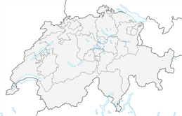


Pizalun circular route
On a plateau above Pfäfers lies the lonely and deserted scattered settlement of St. Margrethenberg. The start and end point of the easy circular hike is the parking lot at the valley station of the Tristeli...
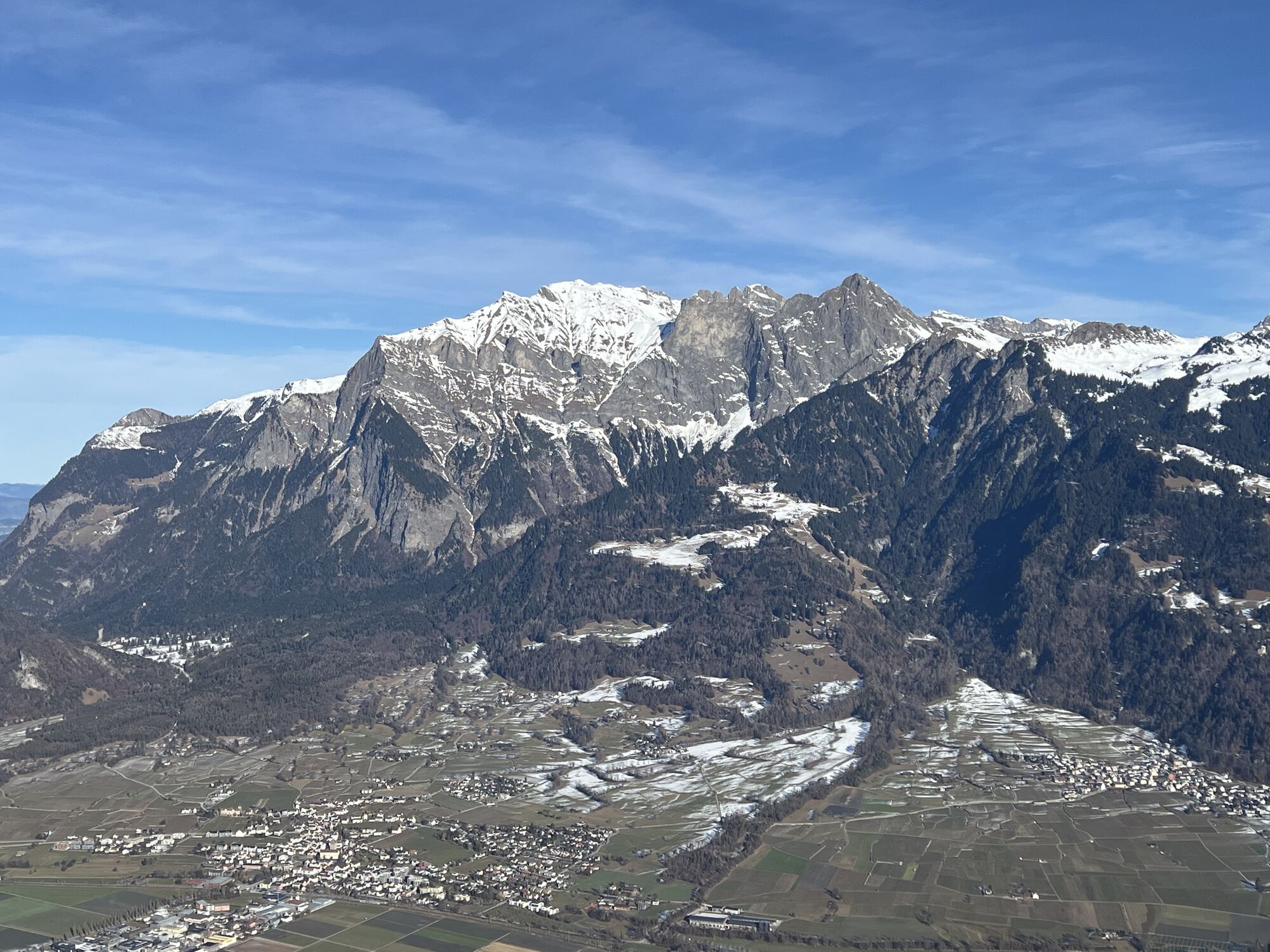
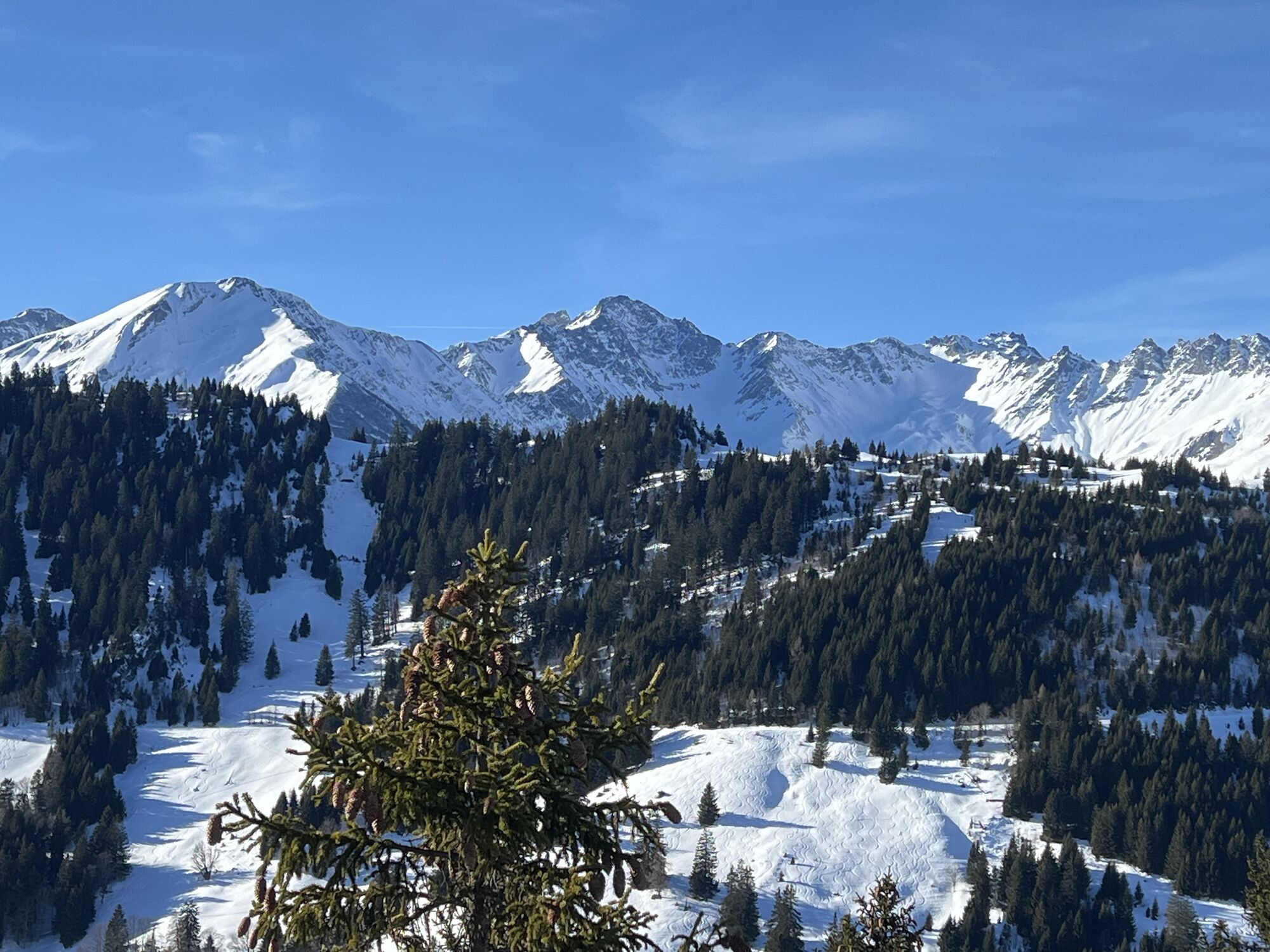
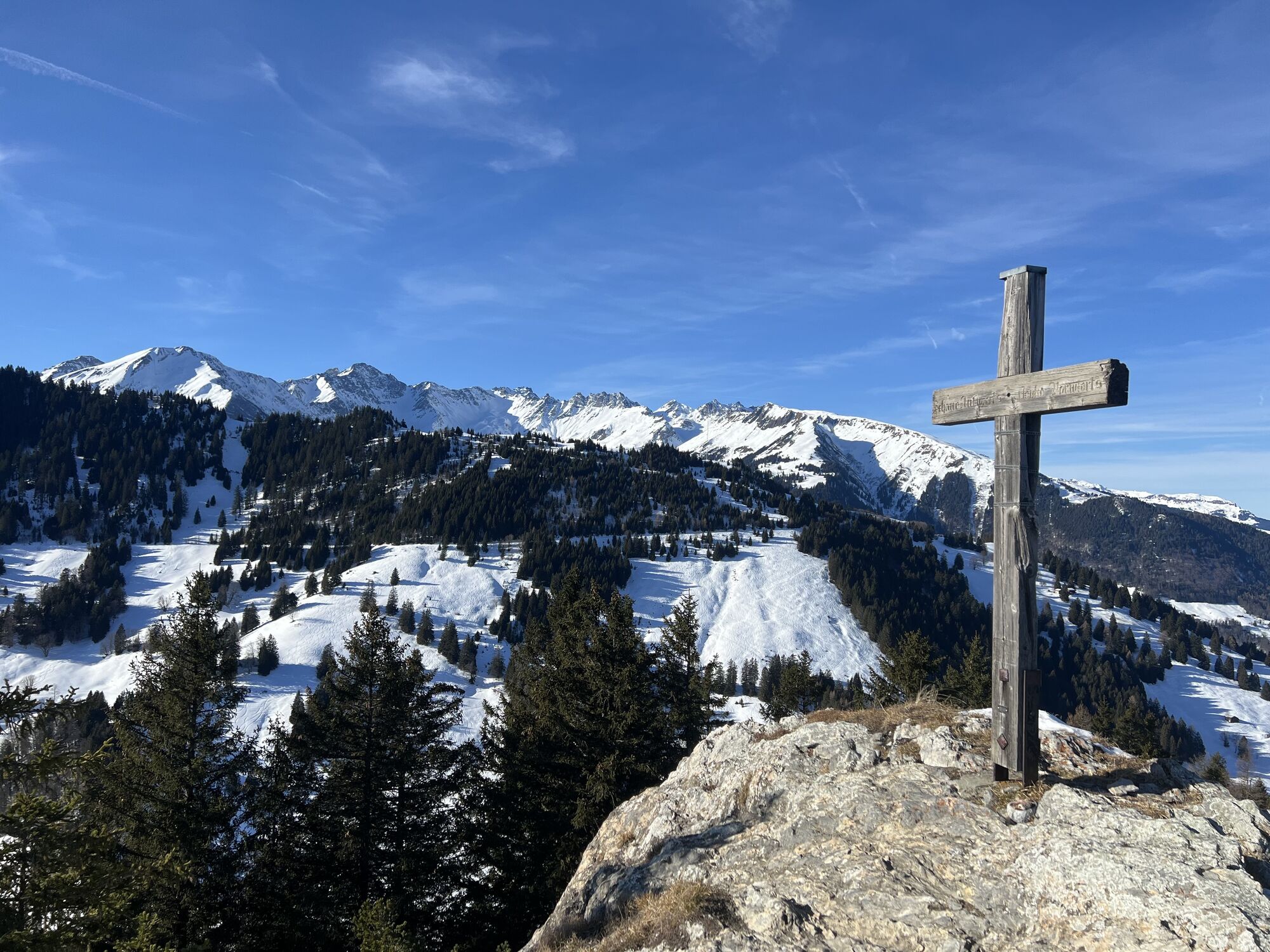
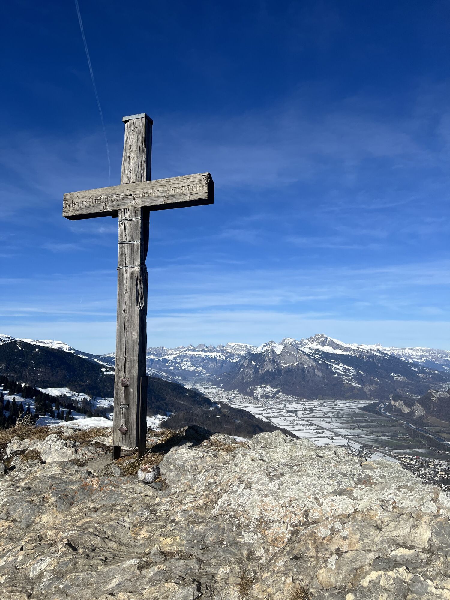
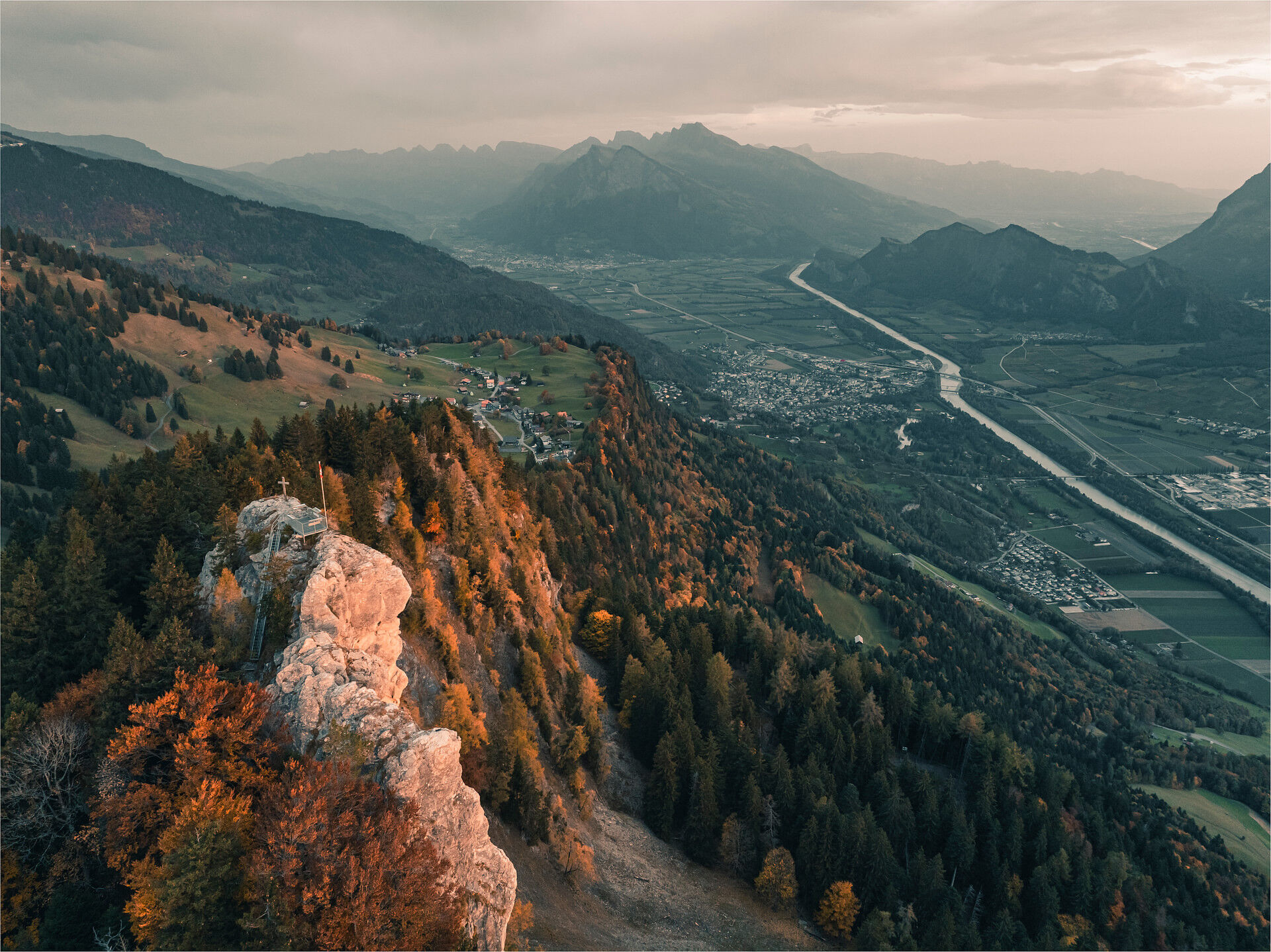
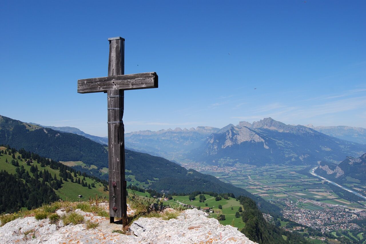
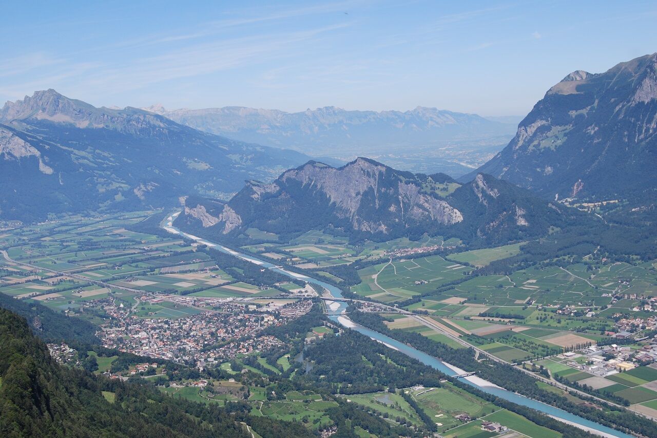
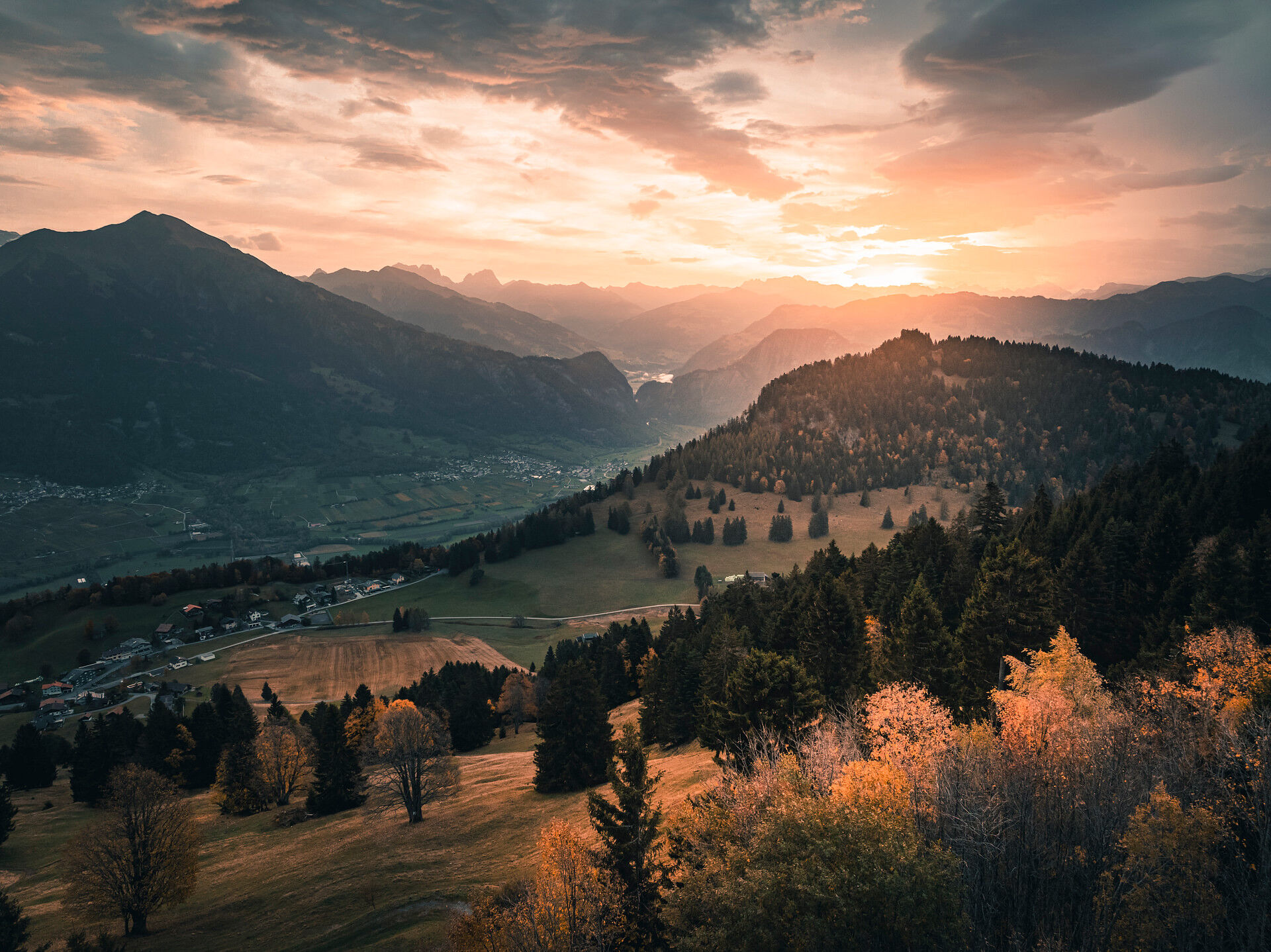
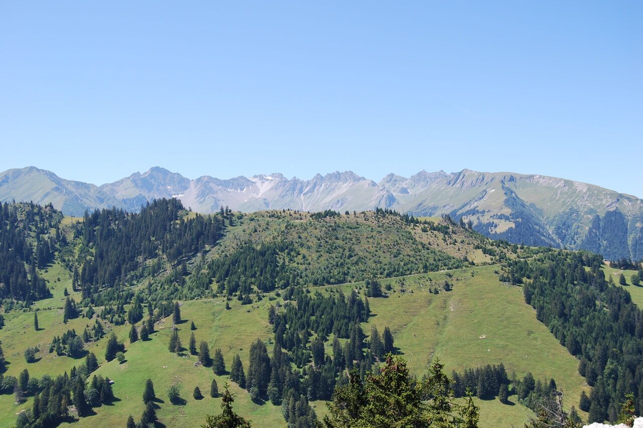
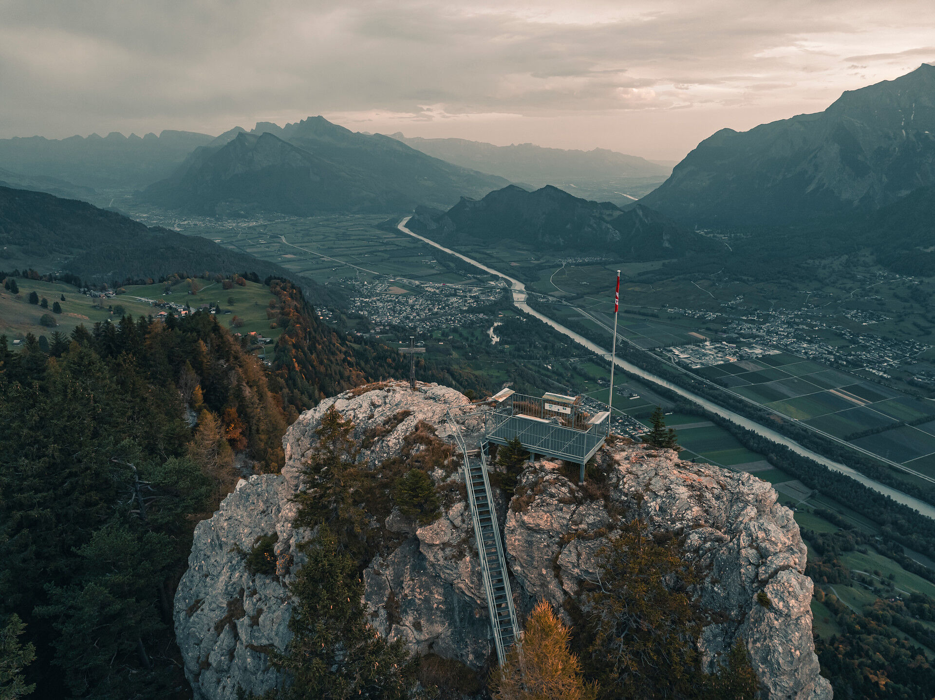
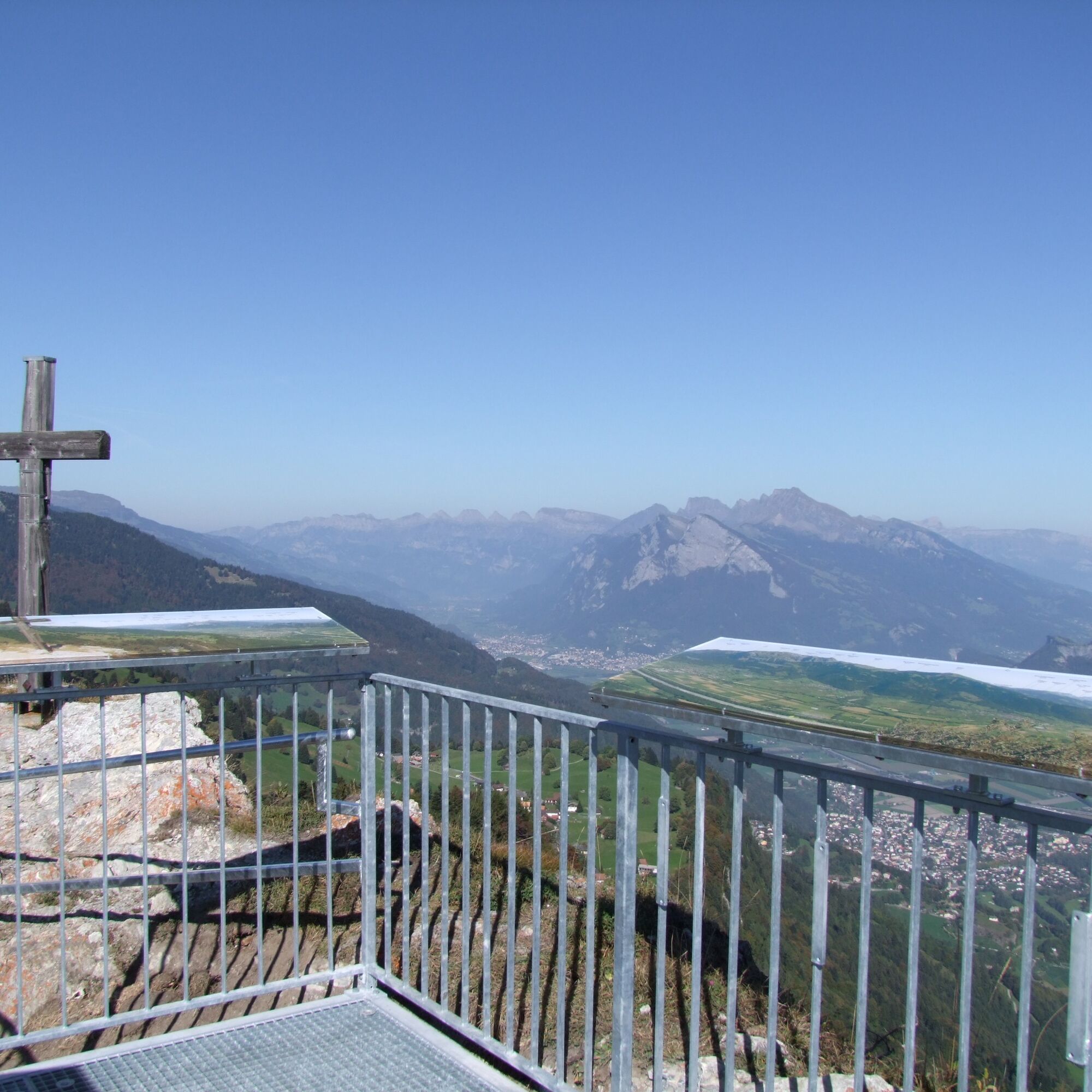
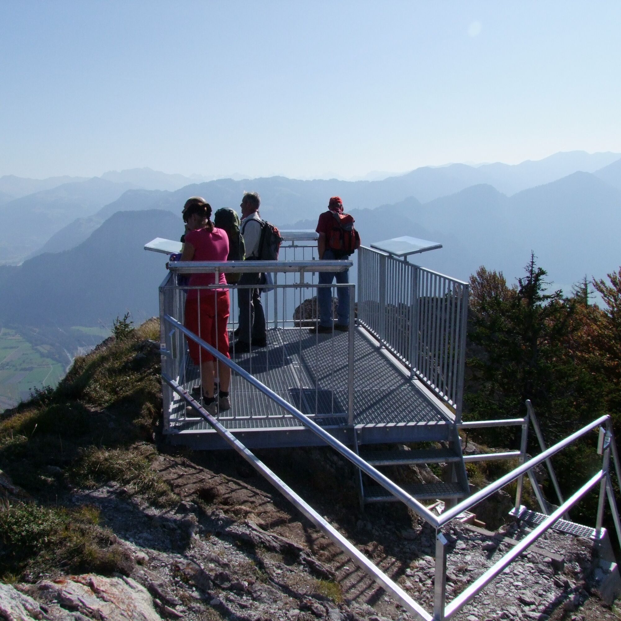
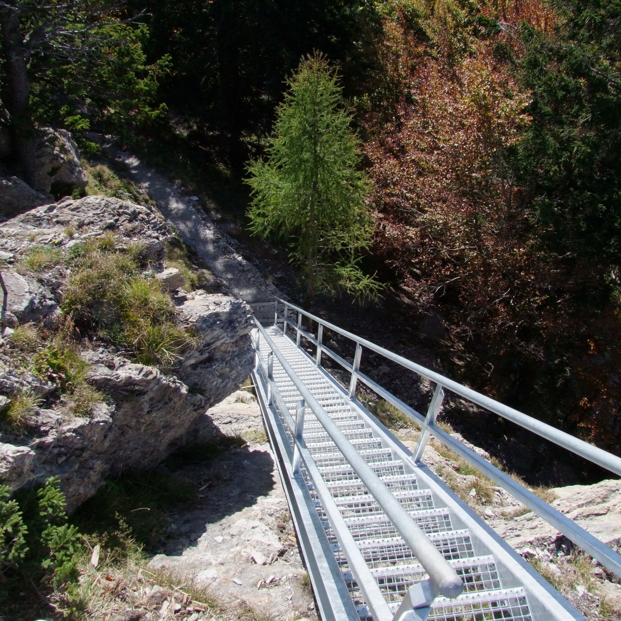
On a plateau above Pfäfers lies the lonely and deserted scattered settlement of St. Margrethenberg. The start and end point of the easy circular hike is the parking lot at the valley station of the Tristeli ski lift. On a slightly ascending hiking trail, it goes through forests and over flowery meadows towards the summit Pizalun. To the very top to the Pizalun viewing platform leads a steep but well-developed staircase. Up here, you literally have the Bündner Herrschaft and the Sarganserland at your feet. Thanks to the panorama panels, you can also name the many mountains all around. From Pizalun down towards Fürggli, a leisurely hiking trail leads past the mountain inn Jägeri. Back on the plateau, it goes on the rarely used road - partly along the mountain stream and past the chapel St. Margrethenberg - back to the starting point.

St. Margrethenberg - Pizalun - Jägeri - St. Margrethenberg
Áno
Áno
Depending on the weather, good footwear (hiking boots) is recommended, otherwise light trekking shoes are sufficient for the route.
The last meters up to the platform lead over a steep staircase.
Motorway exit Bad Ragaz - follow the signs towards Pfäfers - drive through Pfäfers and continue towards Vättis until the turnoff to St. Margrethenberg.
By train to Bad Ragaz and then by post bus via Pfäfers to St. Margrethenberg.
There are plenty of free parking spaces at the Tristeli ski lift.
Heidiland Tourismus AG
Information office Bad Ragaz
Tel: +41 (0)81 300 40 20
www.spavillage.ch
Dining options
Stefi's mountain inn
Jägeri
7313 St. Margrethenberg
Tel.: +41 (0)81 302 39 74
Mountain restaurant Buura-Beizli
Family Blöchlinger-Wyss
7313 St. Margrethenberg
Tel.: +41 (0)81 302 28 15
www.buura-beizli.ch
Wild animals are often observed on the meadow north below Pizalun. Best of all, with binoculars, of course.


Obľúbené výlety v okolí
-
3,7
Fürstin-Gina-Weg
Turistika 10,7 km -
3,7
5-Seen-Wanderung - DER KLASSIKER
ťažkéTuristika 9,70 km -
4,5
Tamina Gorge Circular Route
strednáTuristika 14,0 km -
4,5
Off to the Falknis
ťažkéTuristika 18,2 km -
5,0
Circular hike Bettlerweg & 2-Lakes Hike Pizol
strednáTuristika 11,4 km -
4,5
Pizol summit tour
strednáTuristika 9,28 km -
5,0
Malans-Jenins Wine Route
svetloTuristika 10,3 km -
5,0
Leiterliweg, Fläsch, Schweiz
svetloTuristika 12,5 km -
4,0
Lake Chapfen round trip
svetloTuristika 4,27 km -
5,0
Pfälzerhütte route
ťažkéMountainbike 9,54 km
Turistika a stopovanie


Nenechajte si ujsť ponuky a inšpiráciu na ďalšiu dovolenku
Vaša e-mailová adresa bol pridaný do poštového zoznamu.