





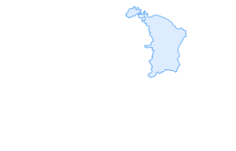
SwitzerlandMobility 60: ViaRhenana, stage 4

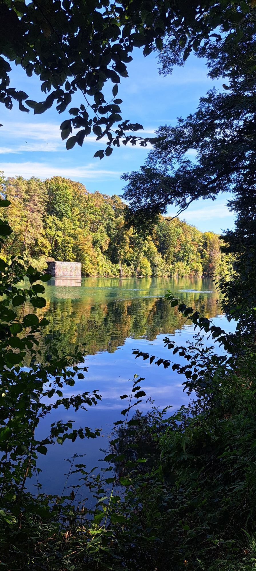
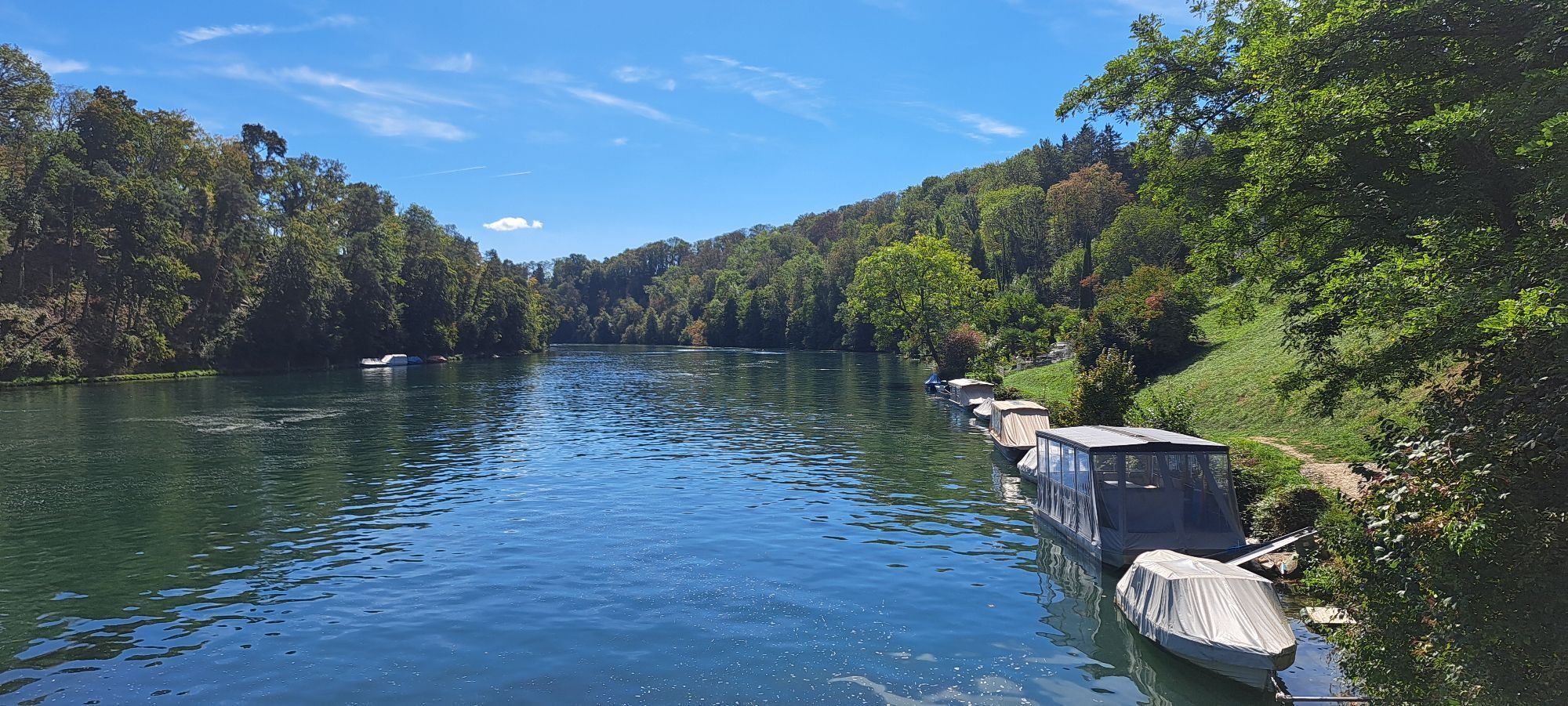
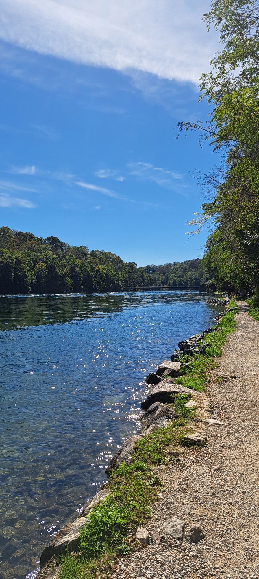
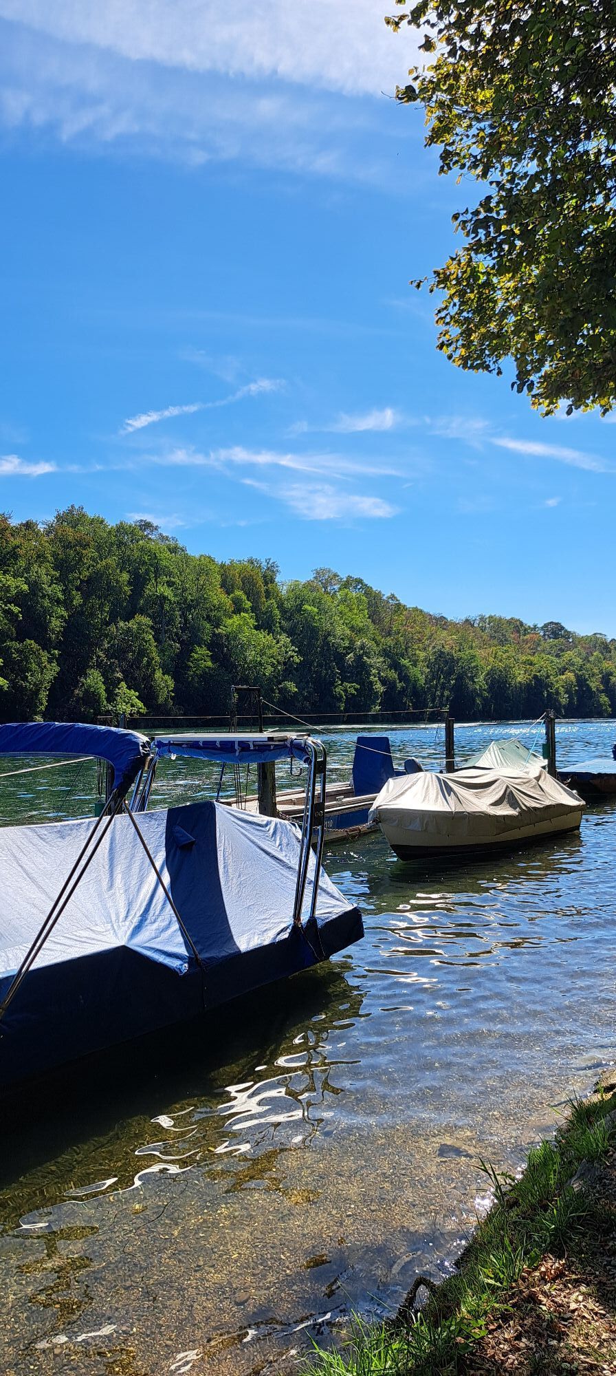
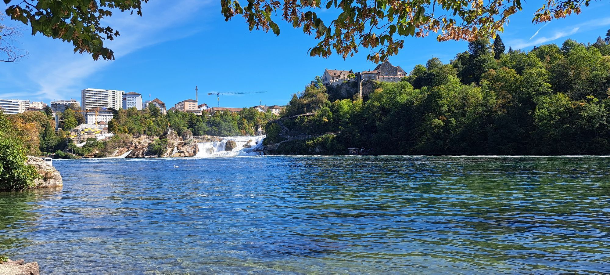
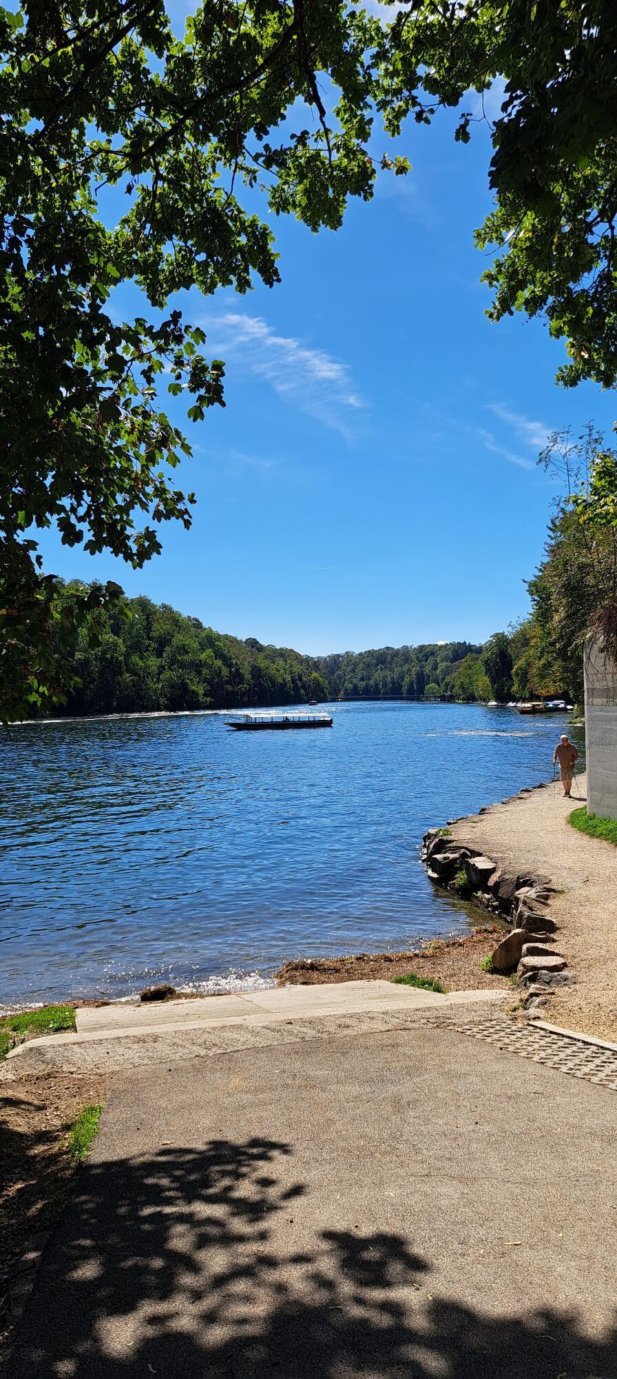
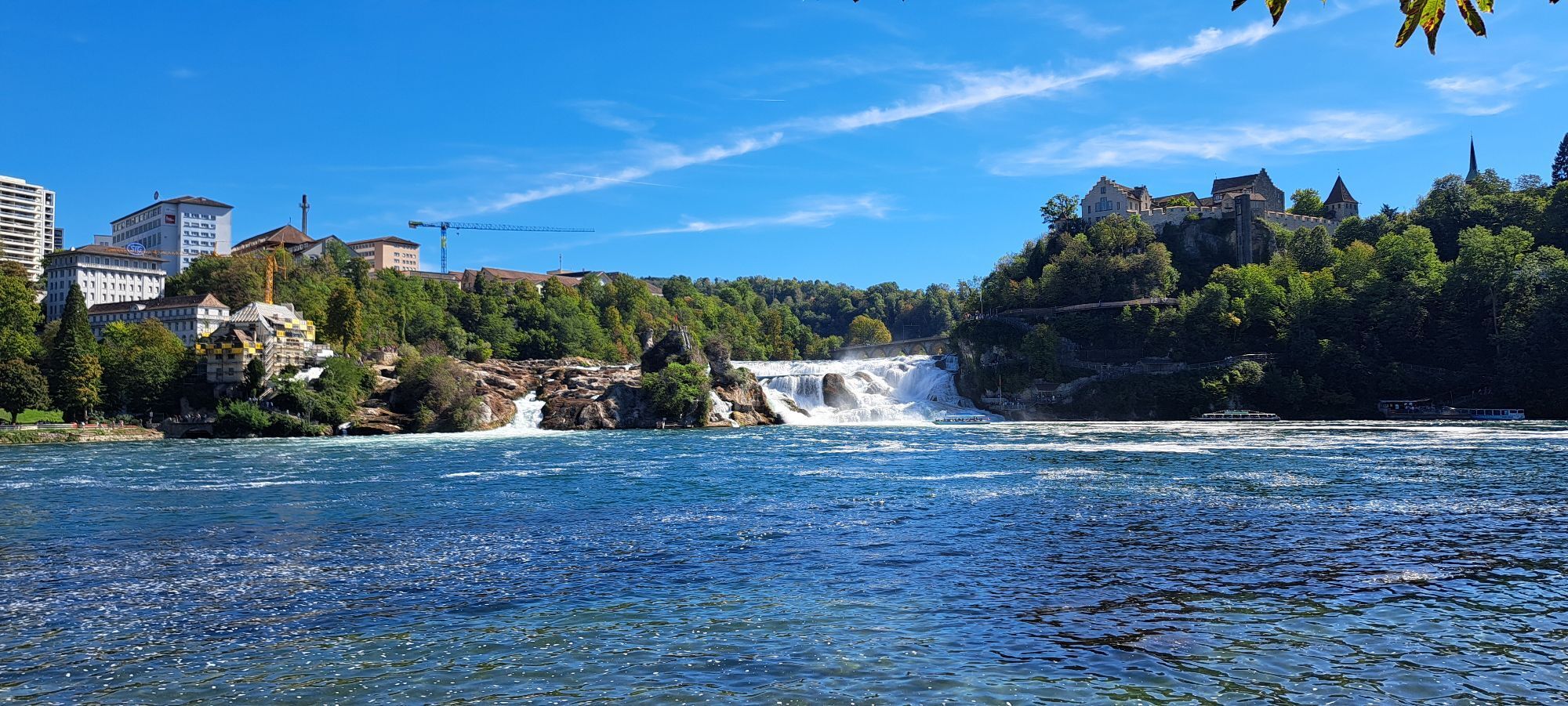
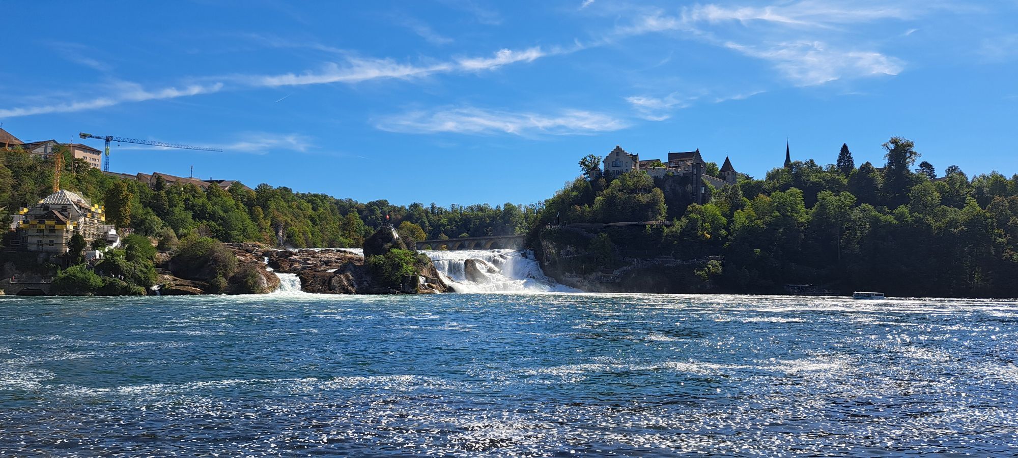
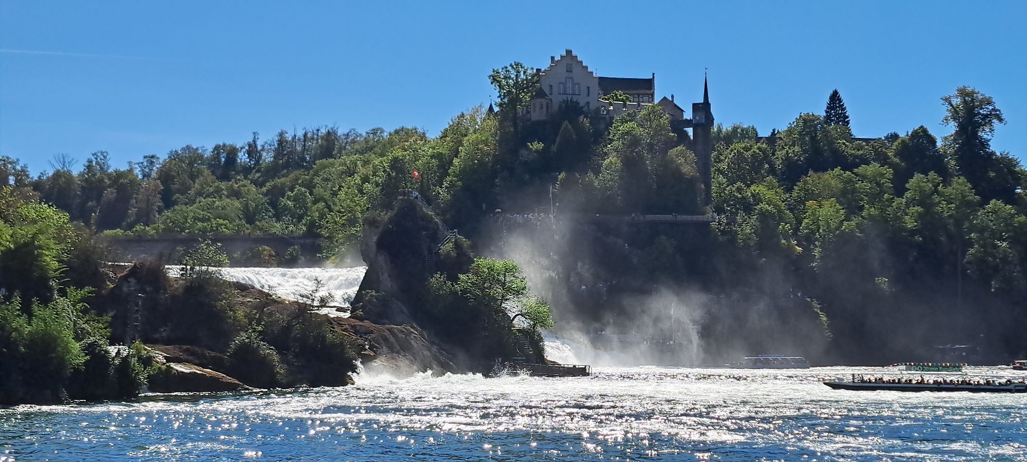
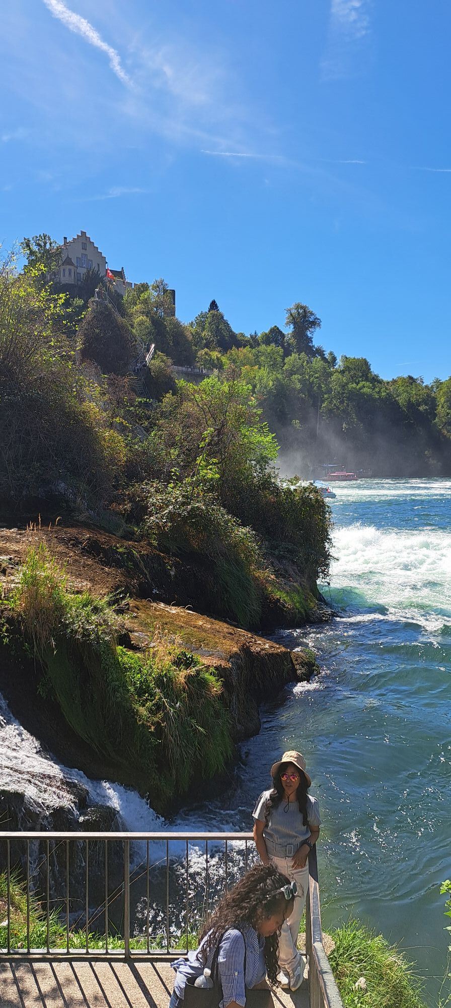
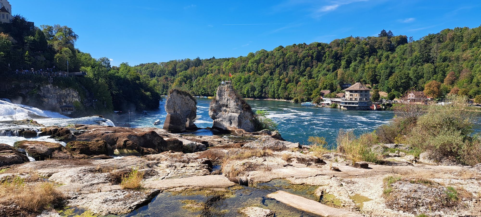
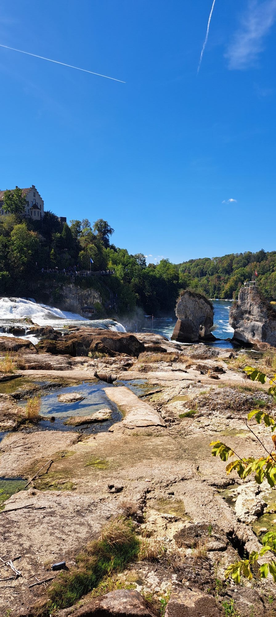
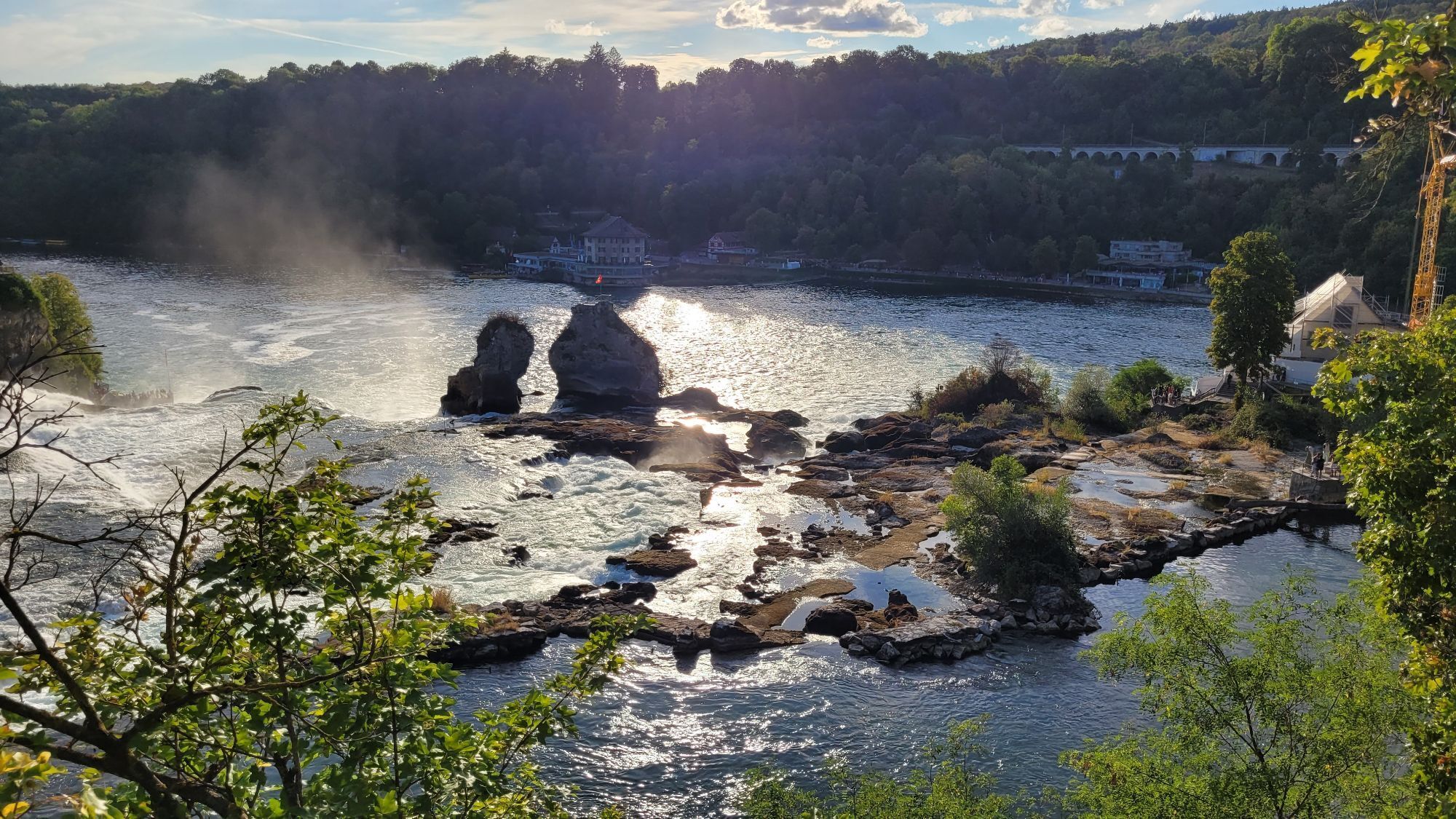
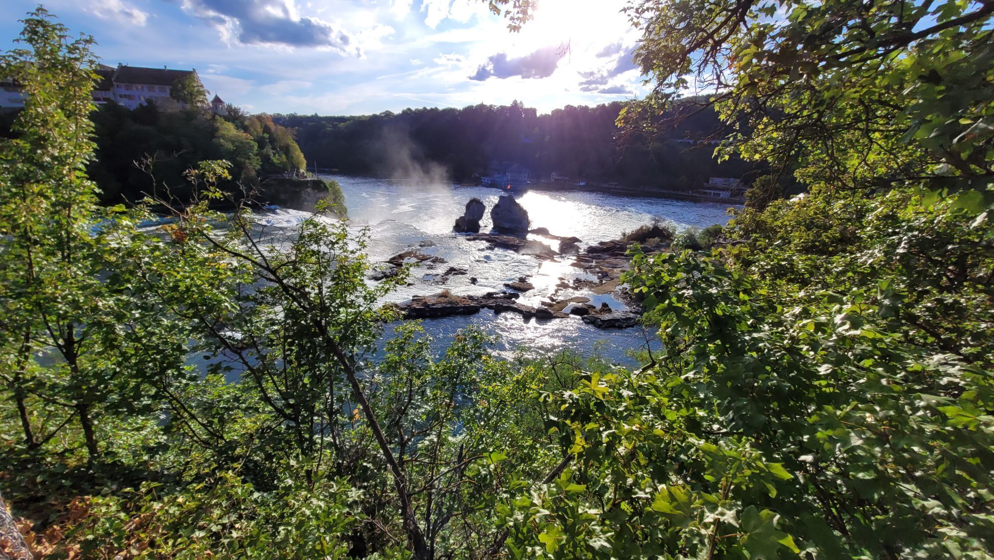
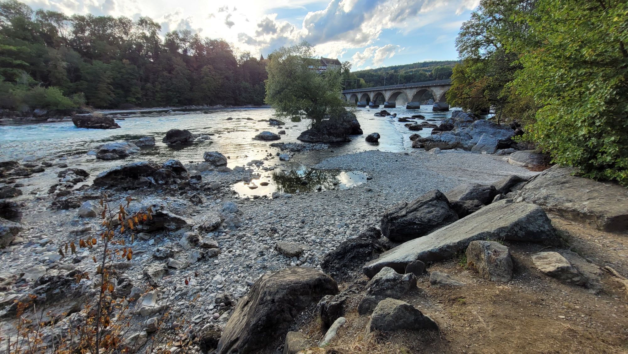
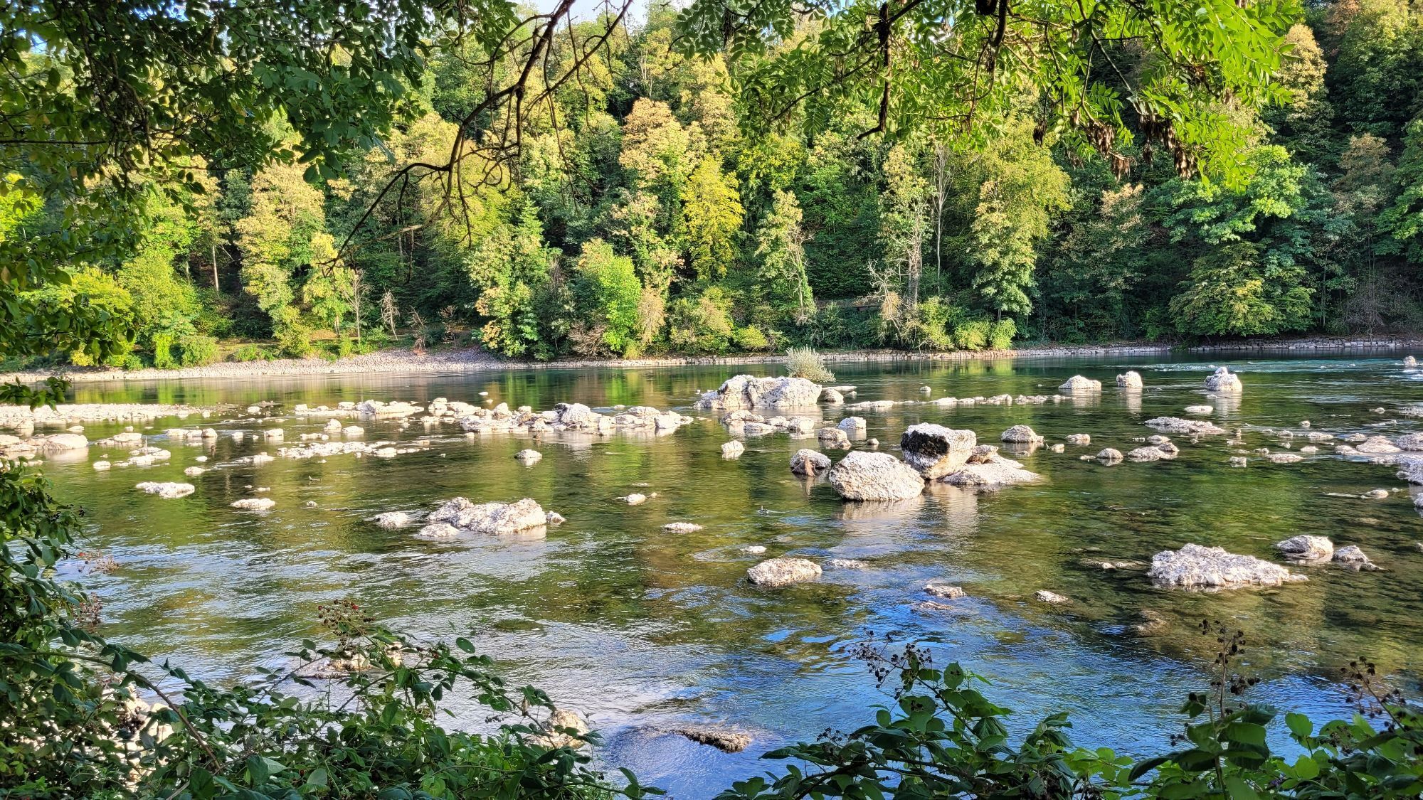
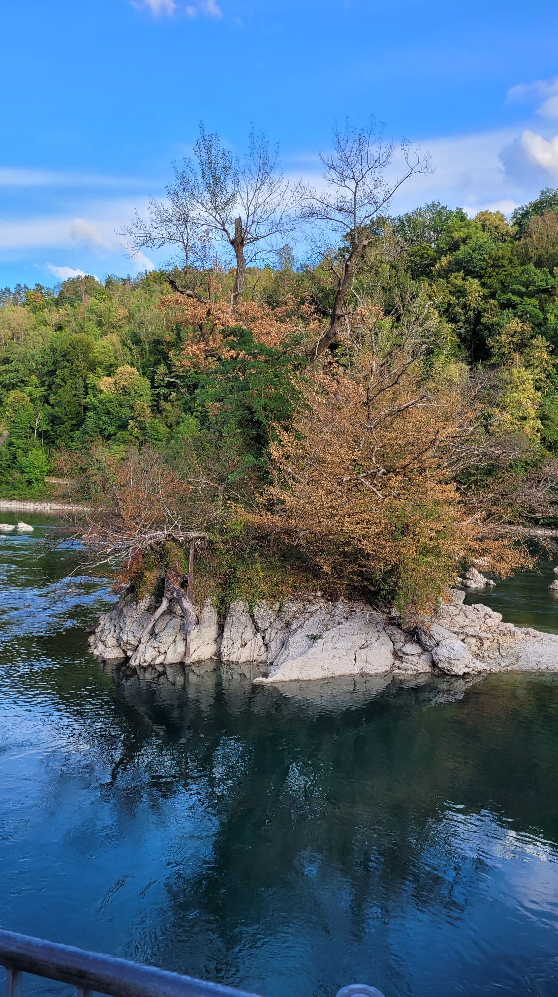
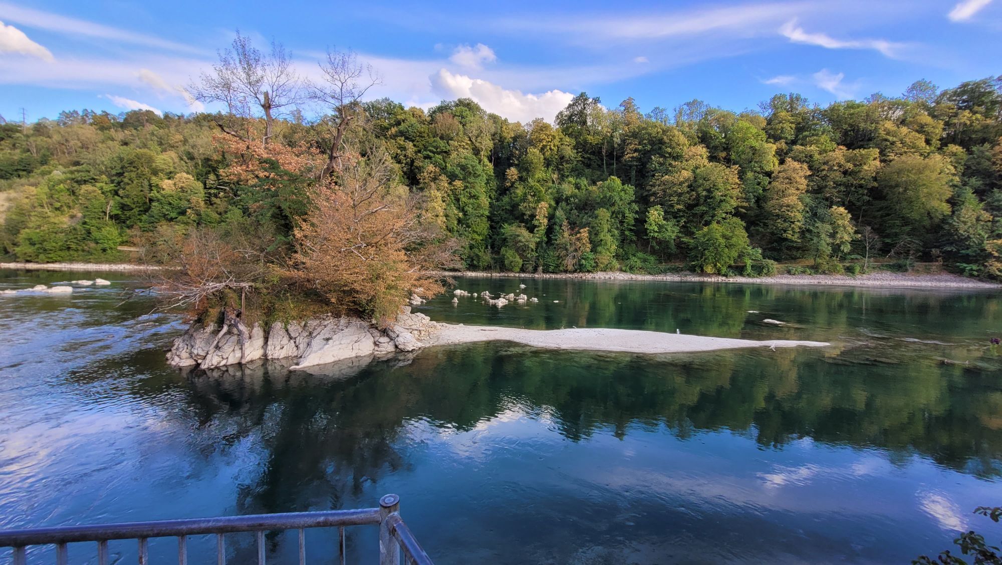
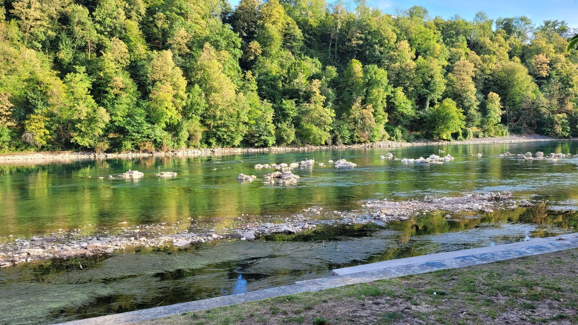
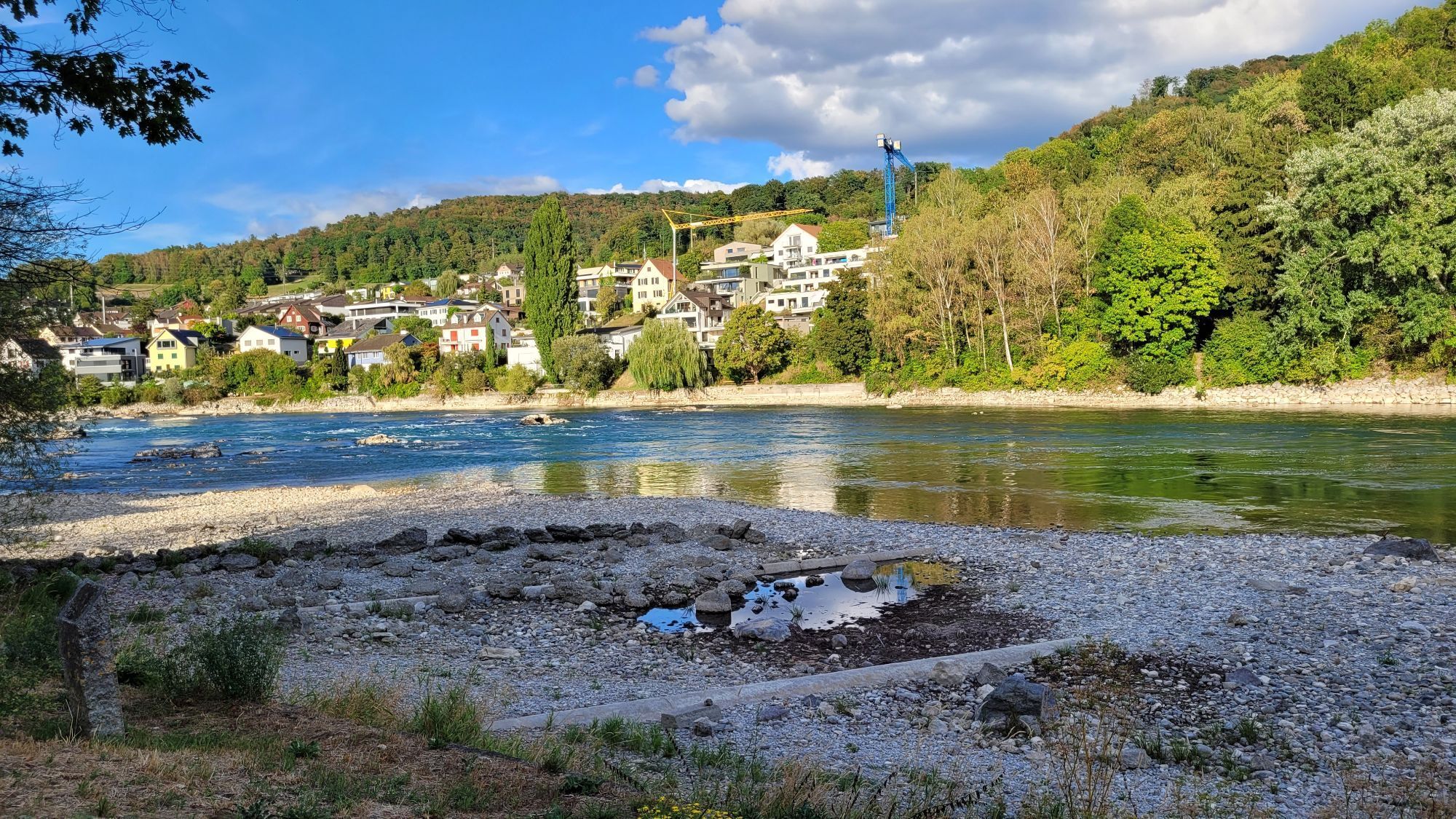
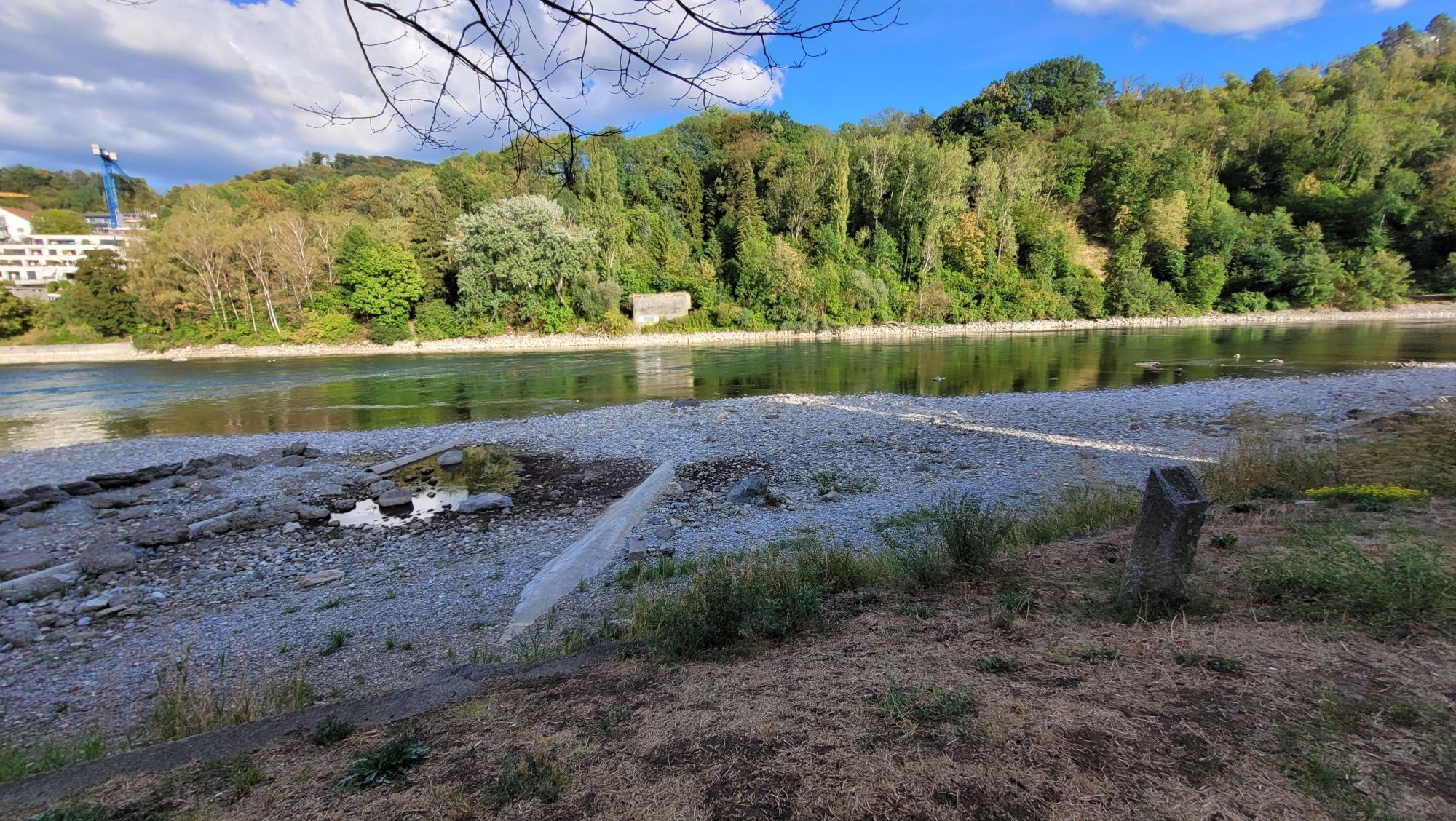
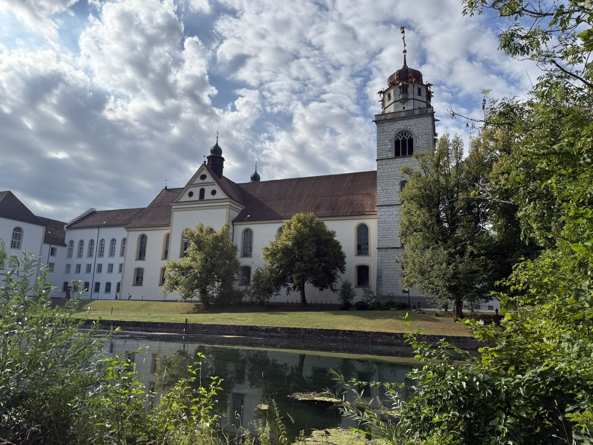
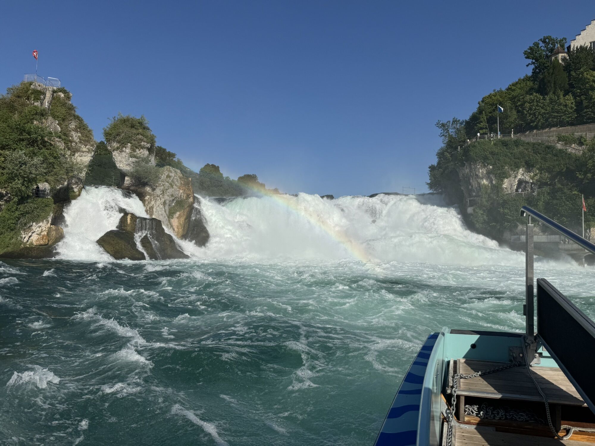
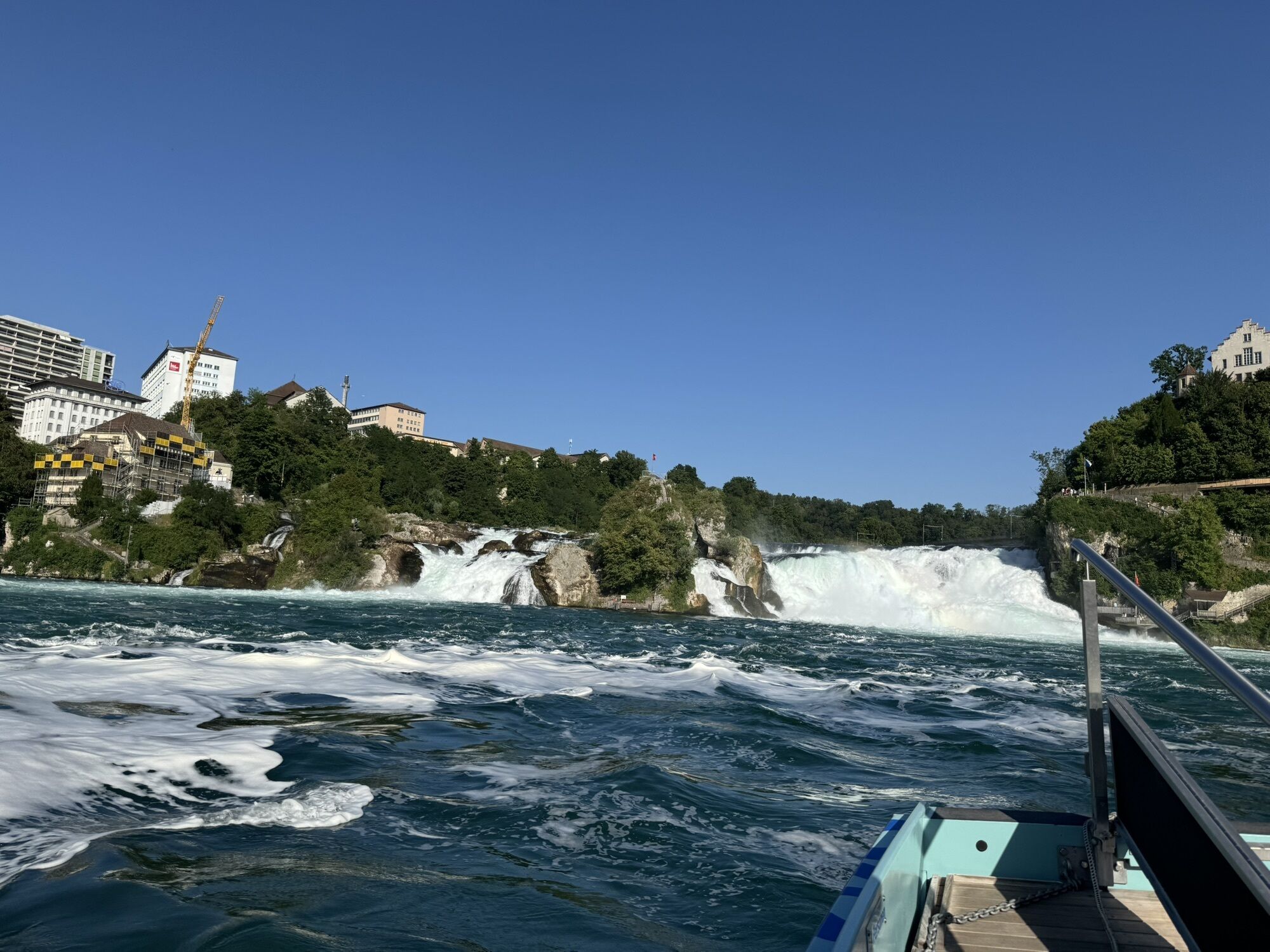
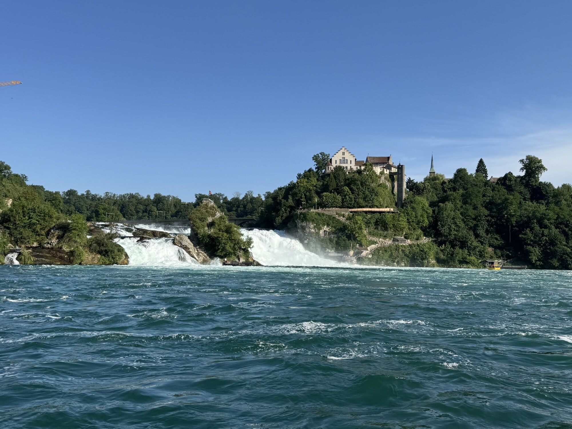
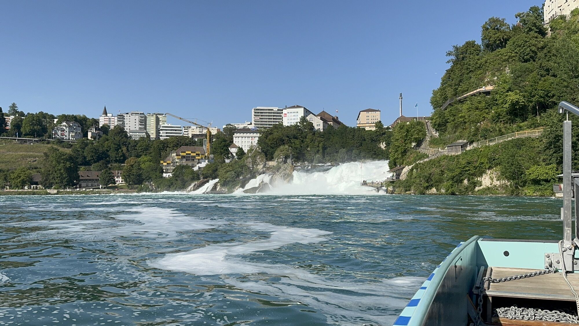
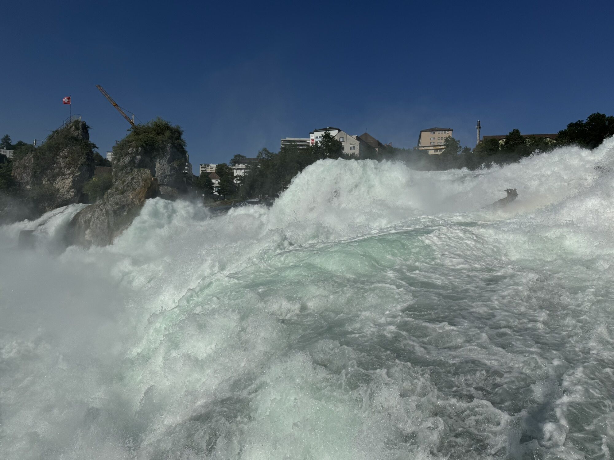
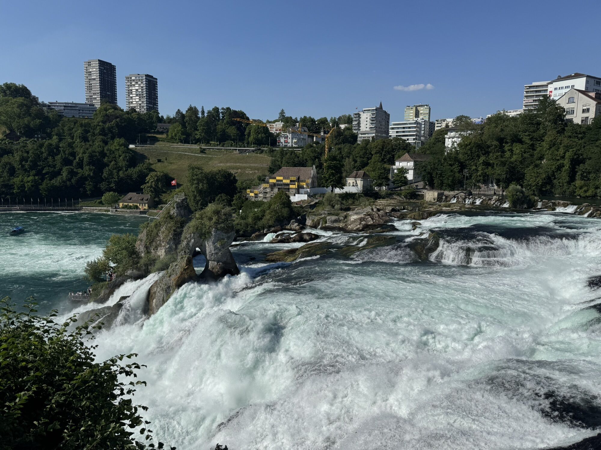
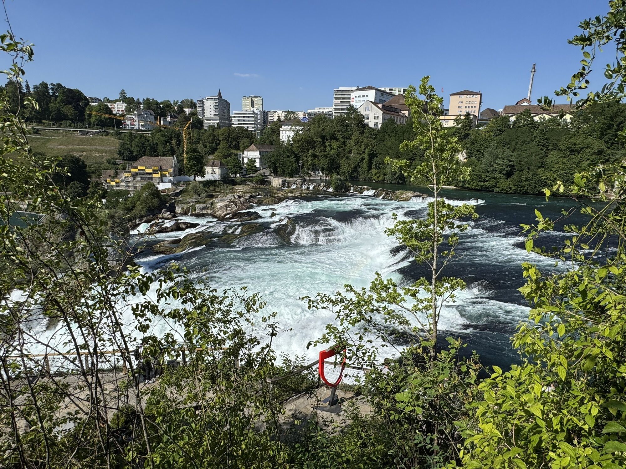
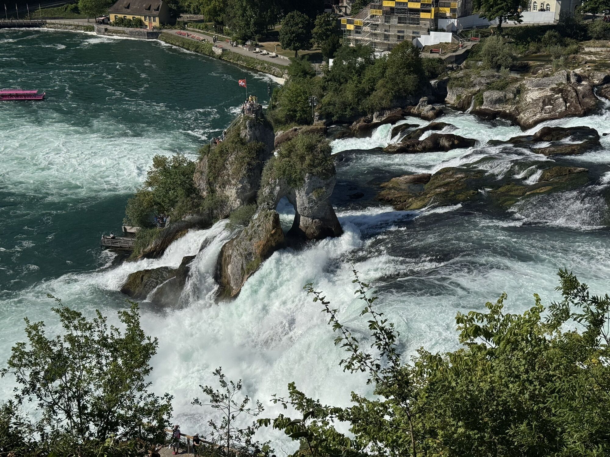
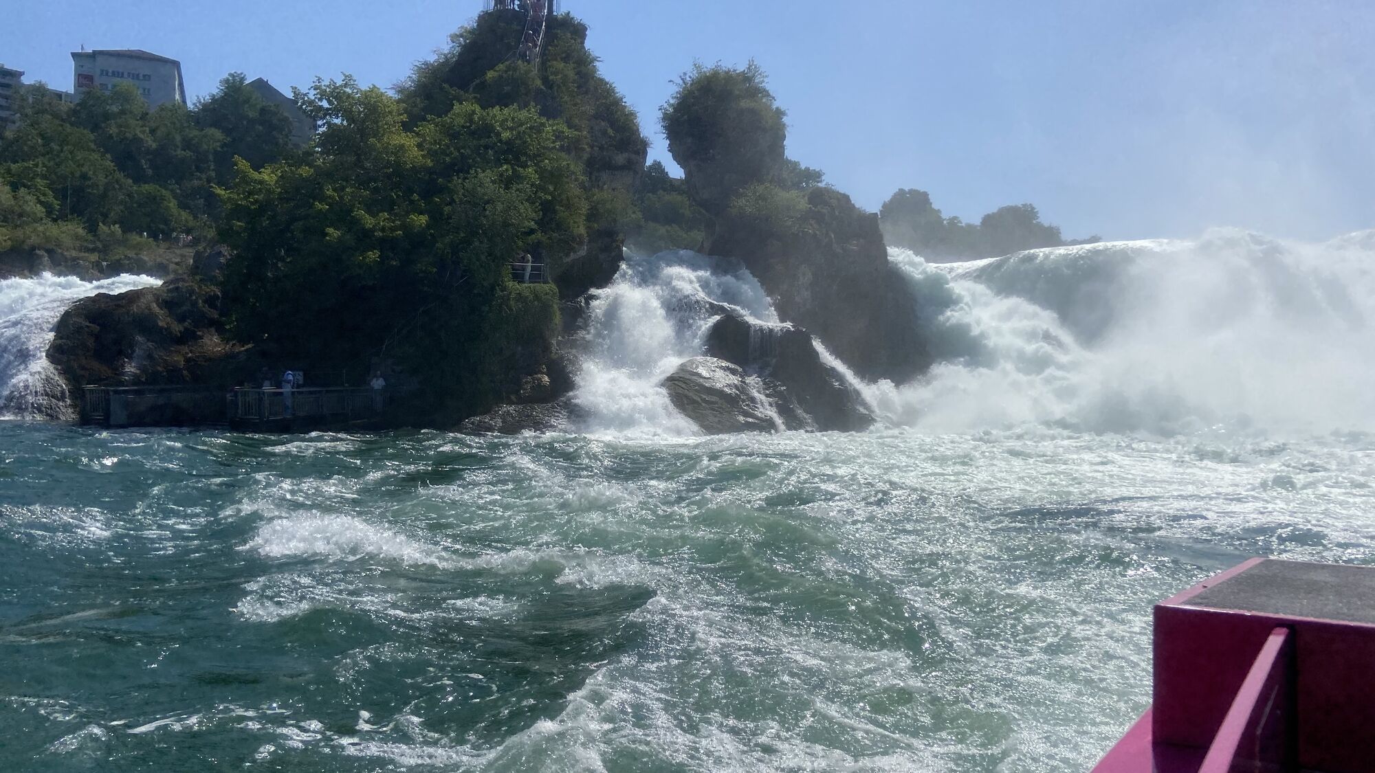
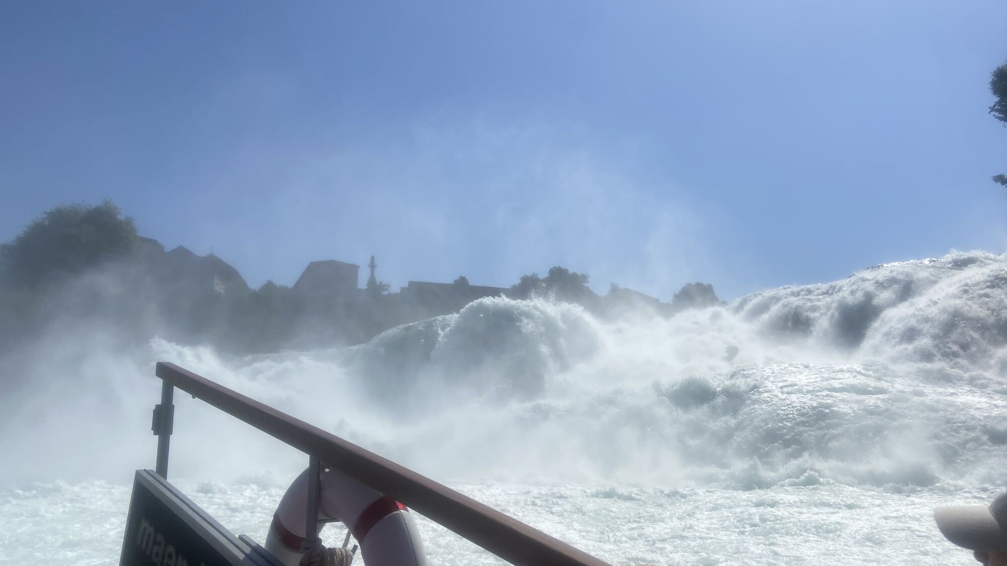
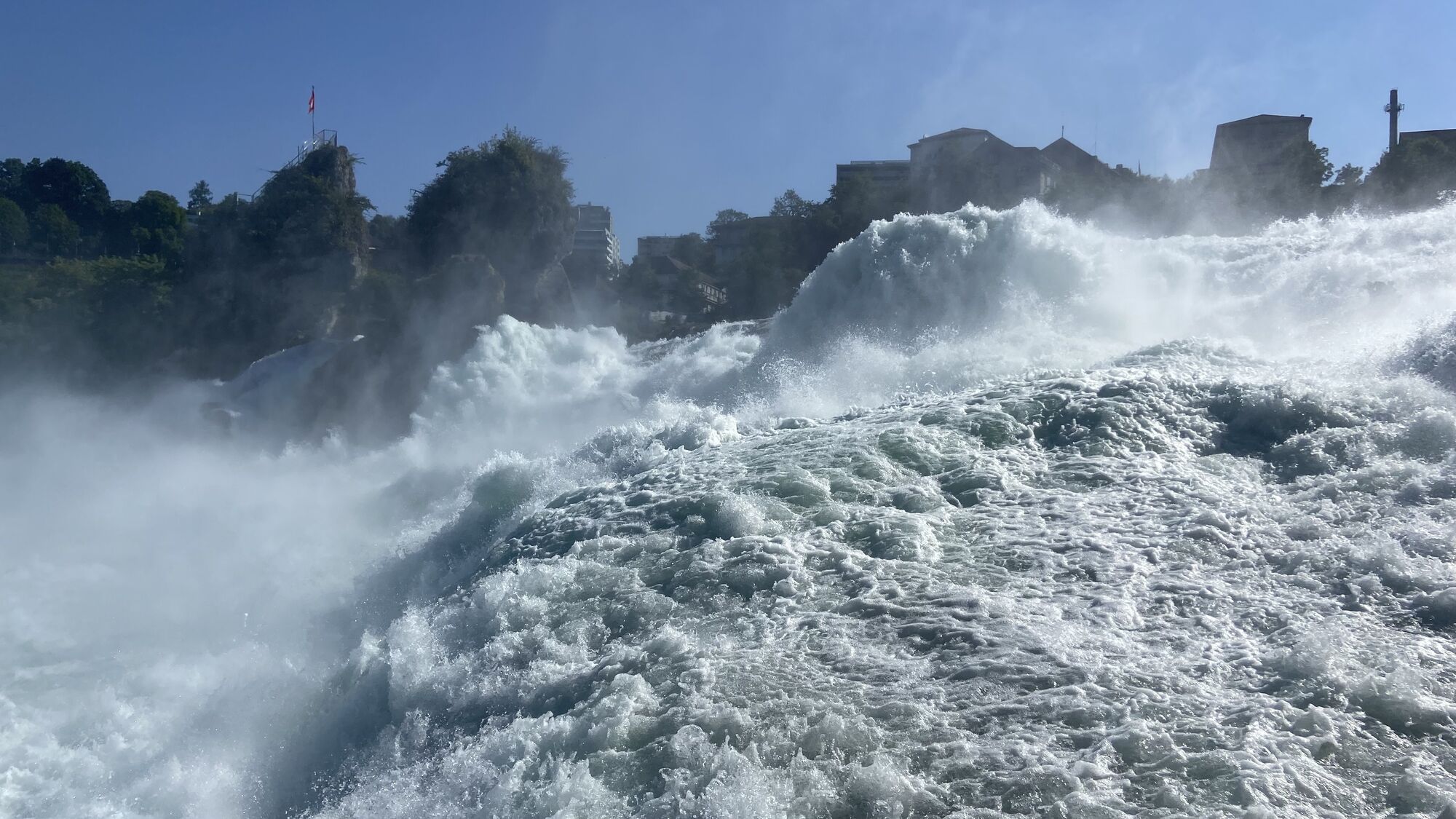
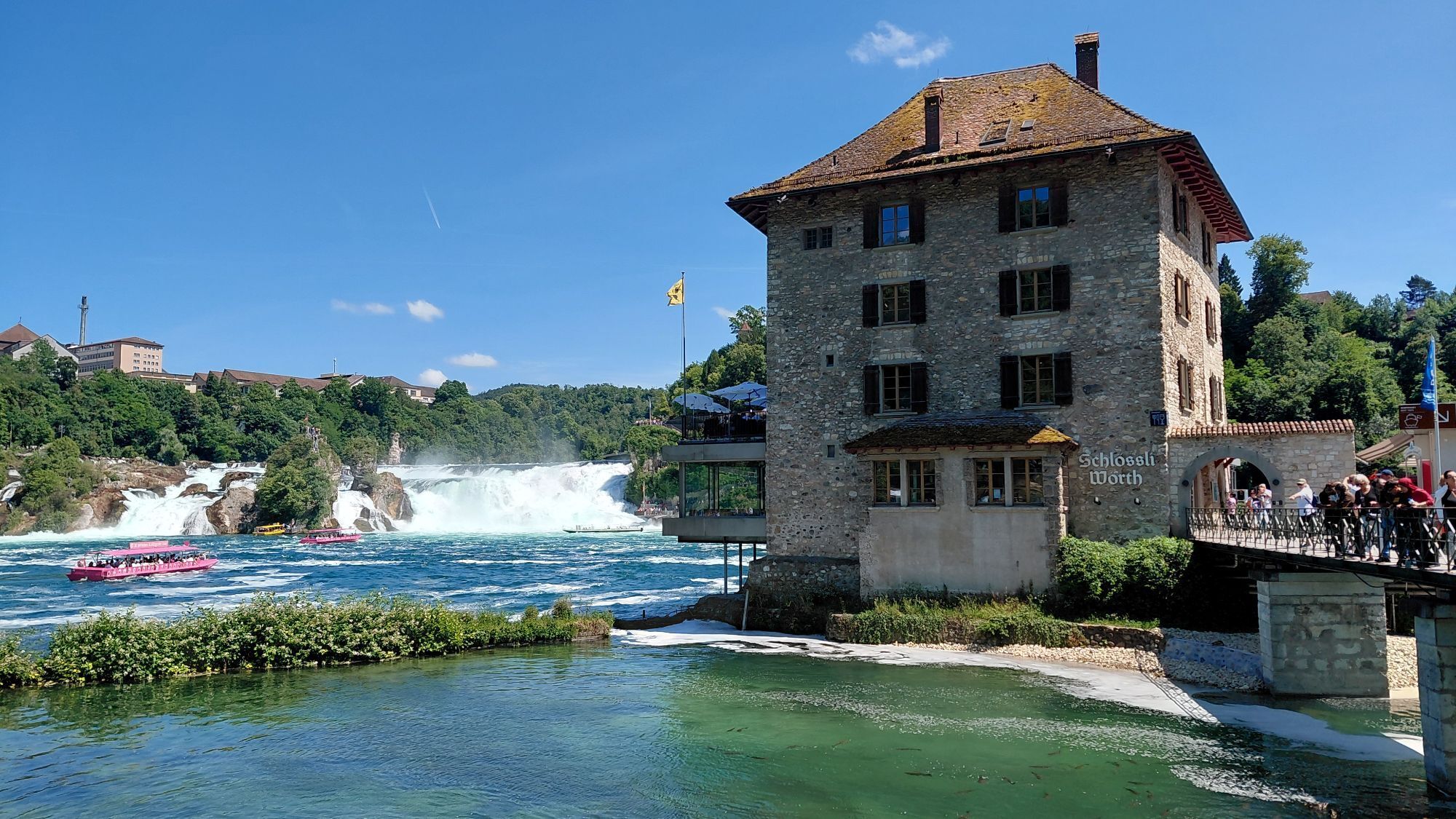
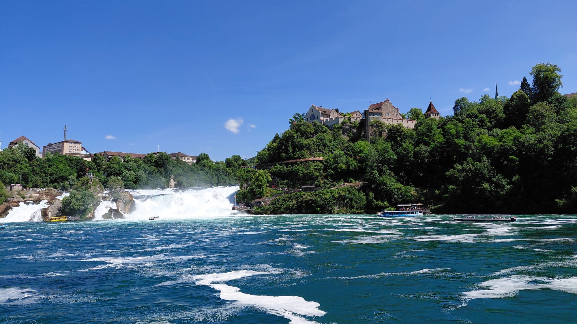
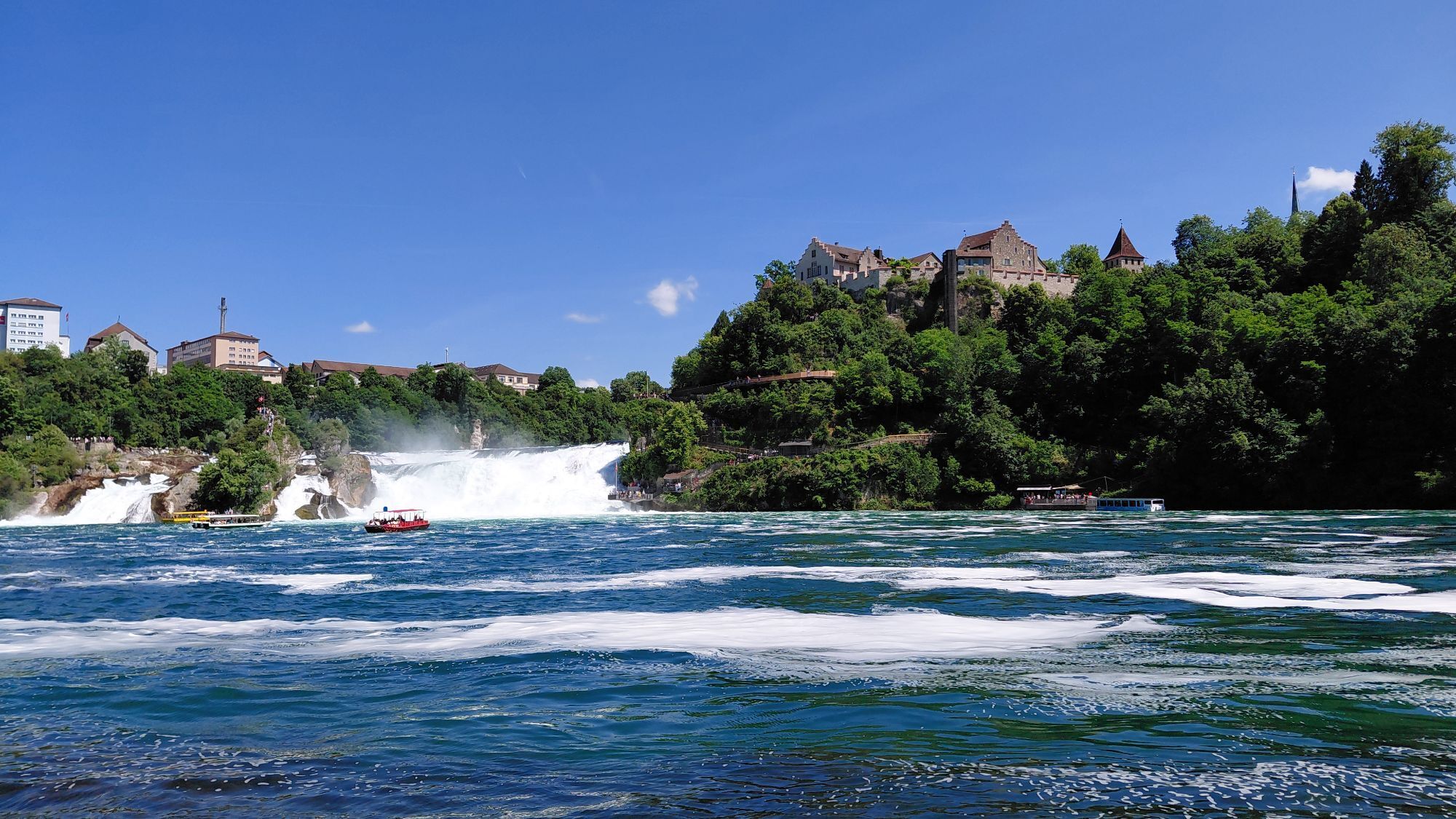
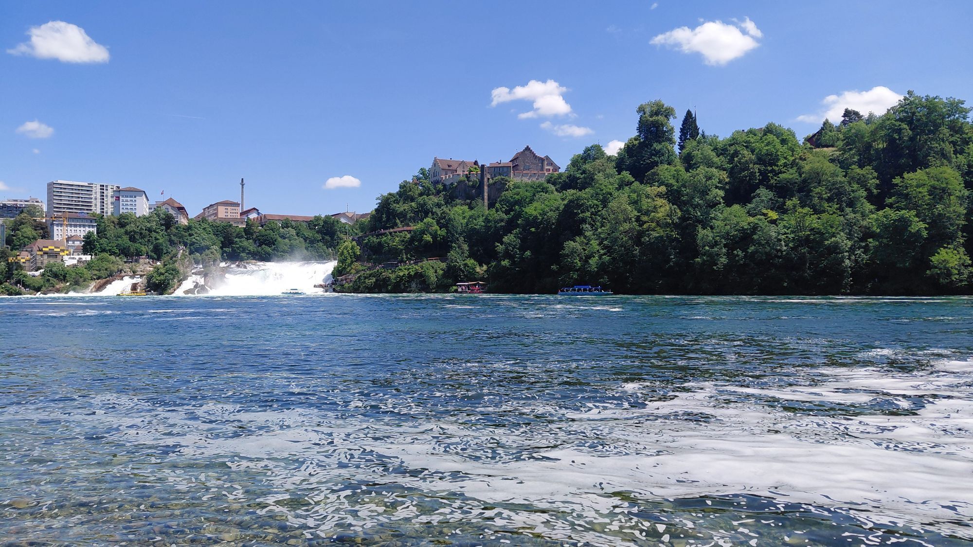
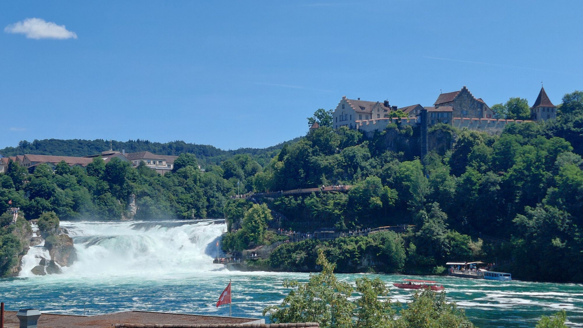
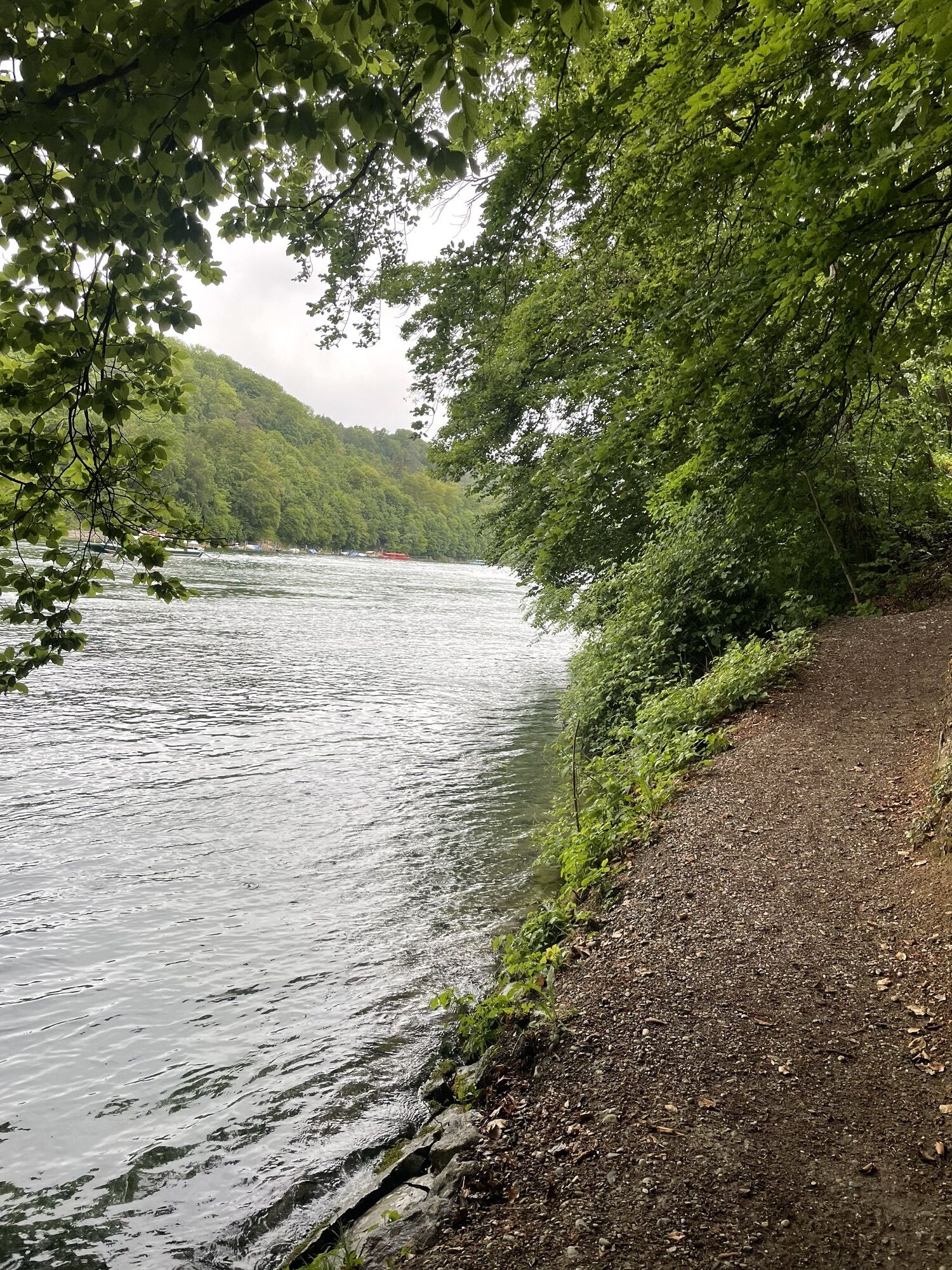
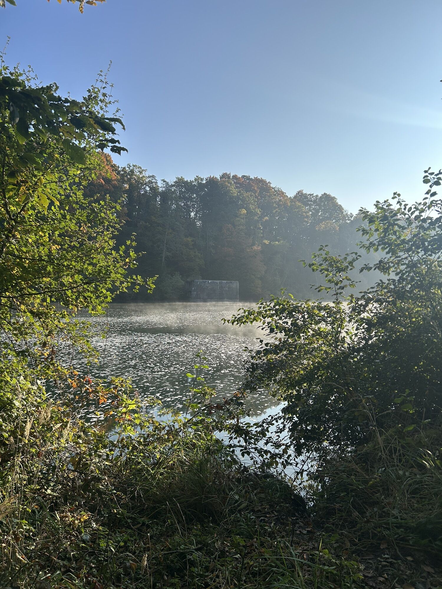
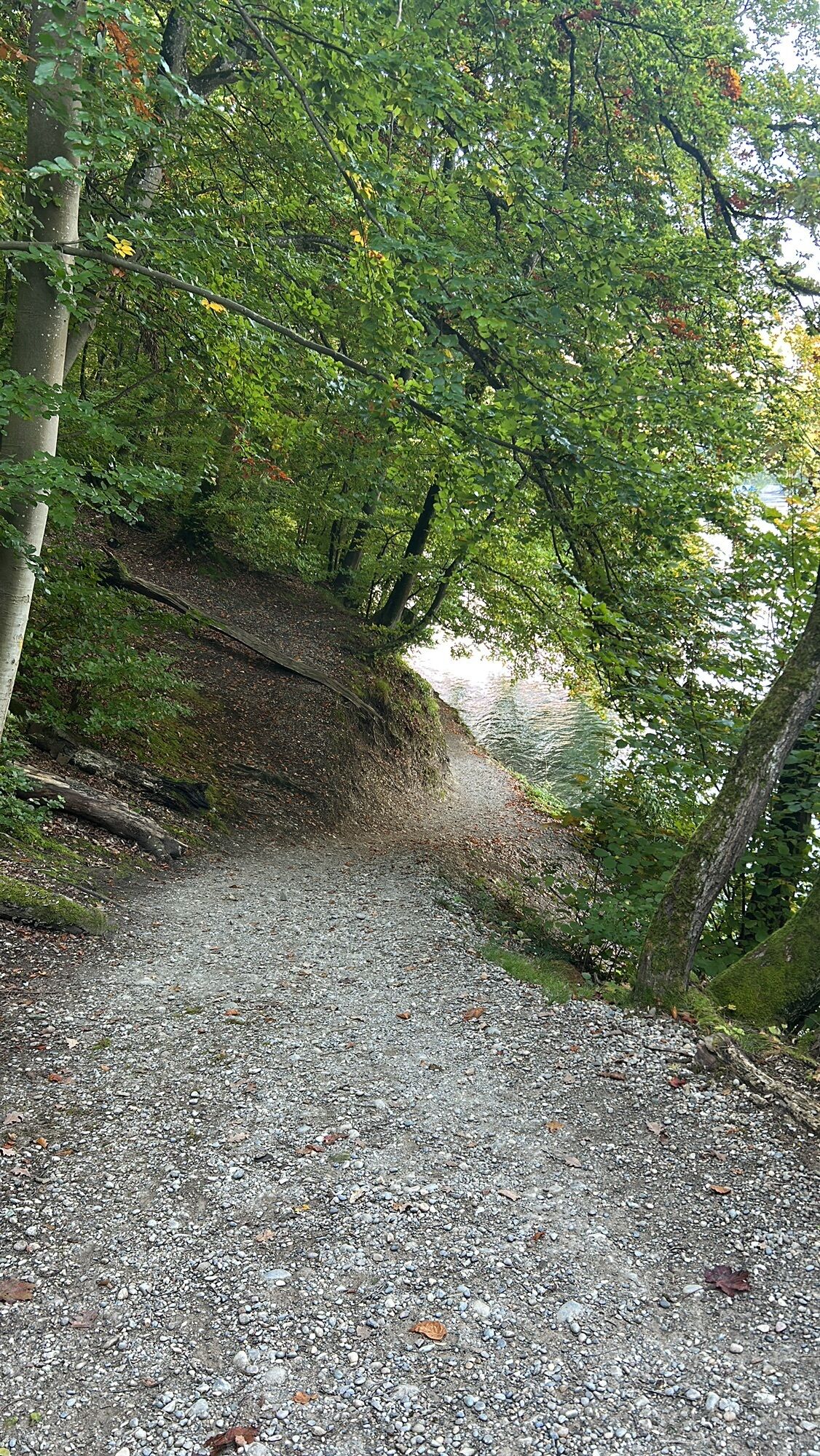
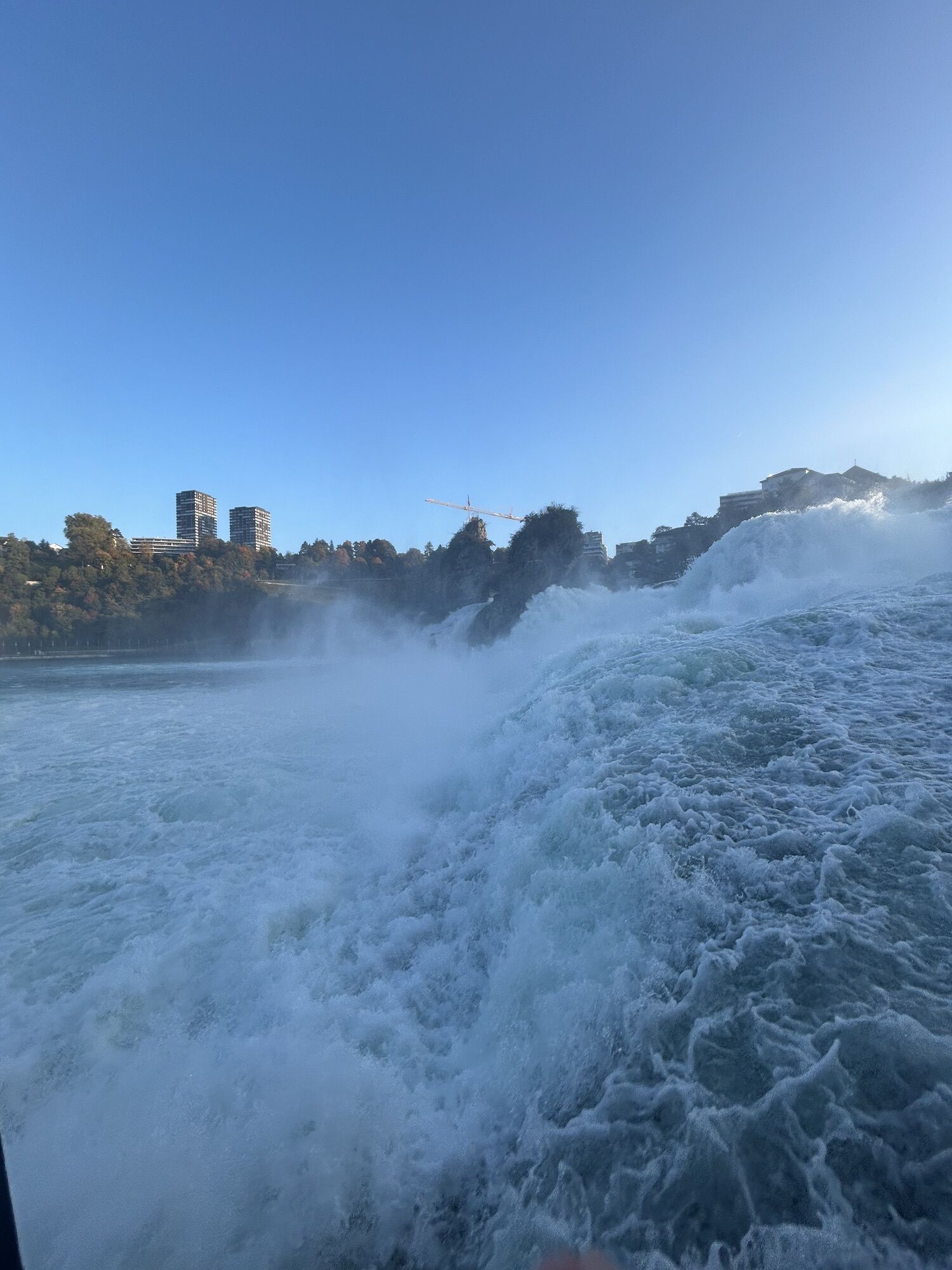
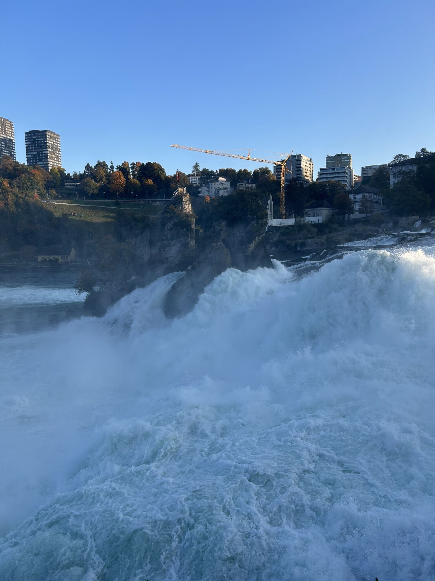
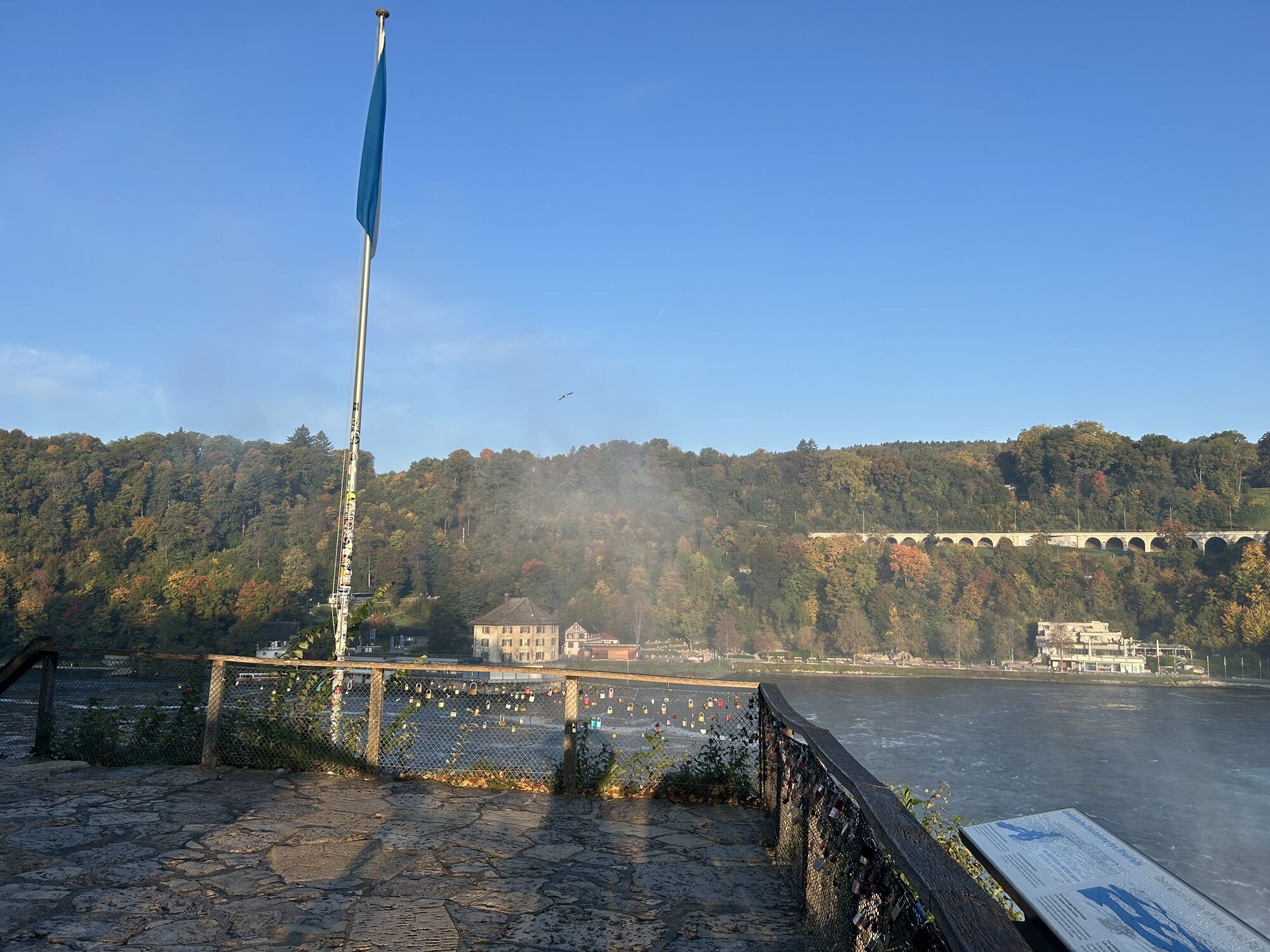
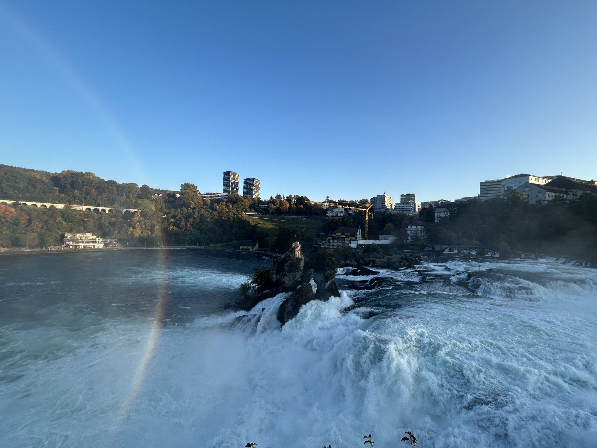
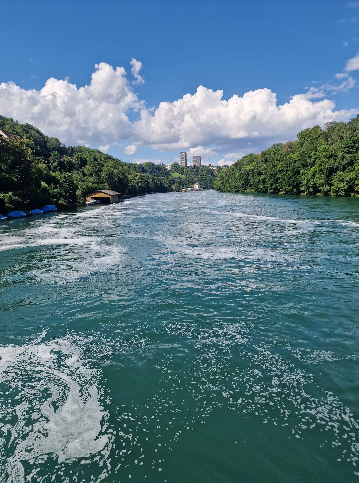
The medieval old town of Schaffhausen is the starting point of this route. Along the Rhine shore past Feuerthalen and Flurlingen you reach the Rhine Falls, the largest waterfall in Europe.
This hike continues...
The medieval old town of Schaffhausen is the starting point of this route. Along the Rhine shore past Feuerthalen and Flurlingen you reach the Rhine Falls, the largest waterfall in Europe.
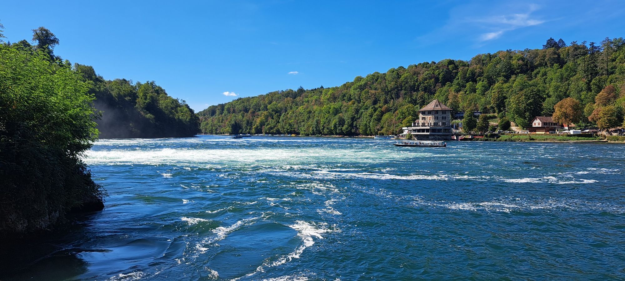
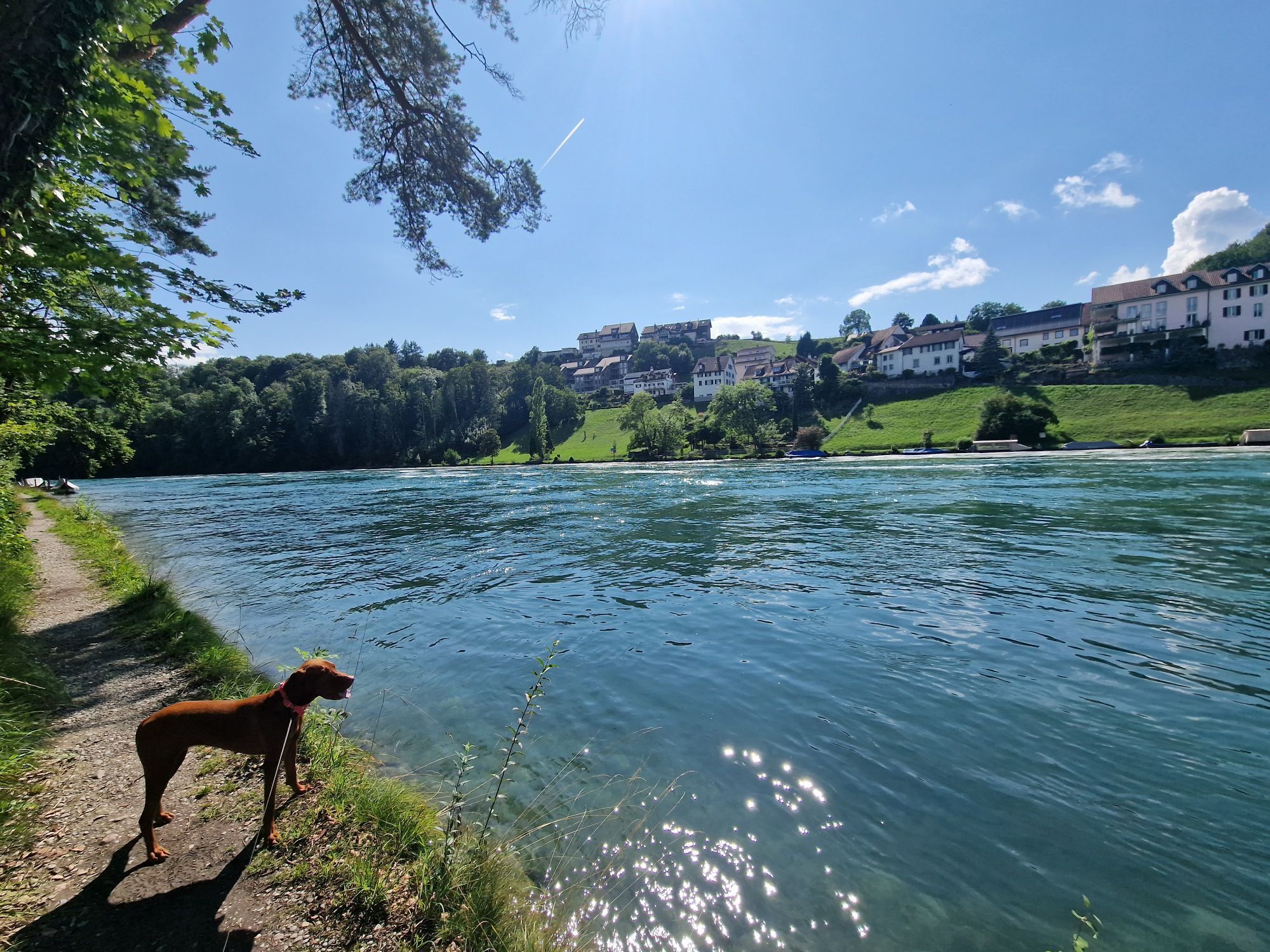
This hike continues entirely along the Rhine on narrow footpaths to Rheinau.
A beautiful section with opportunities to enjoy a cooling off directly in the Rhine.
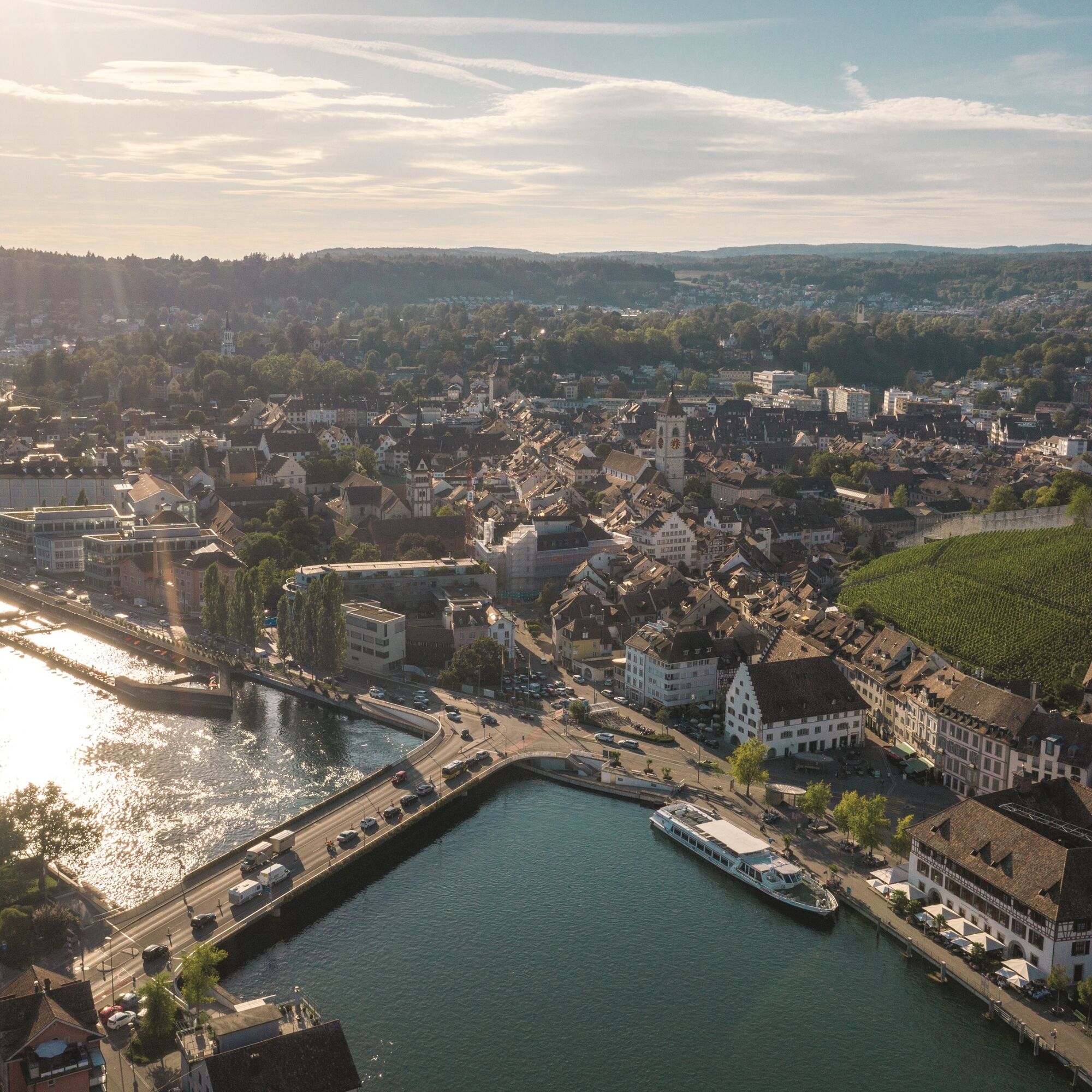
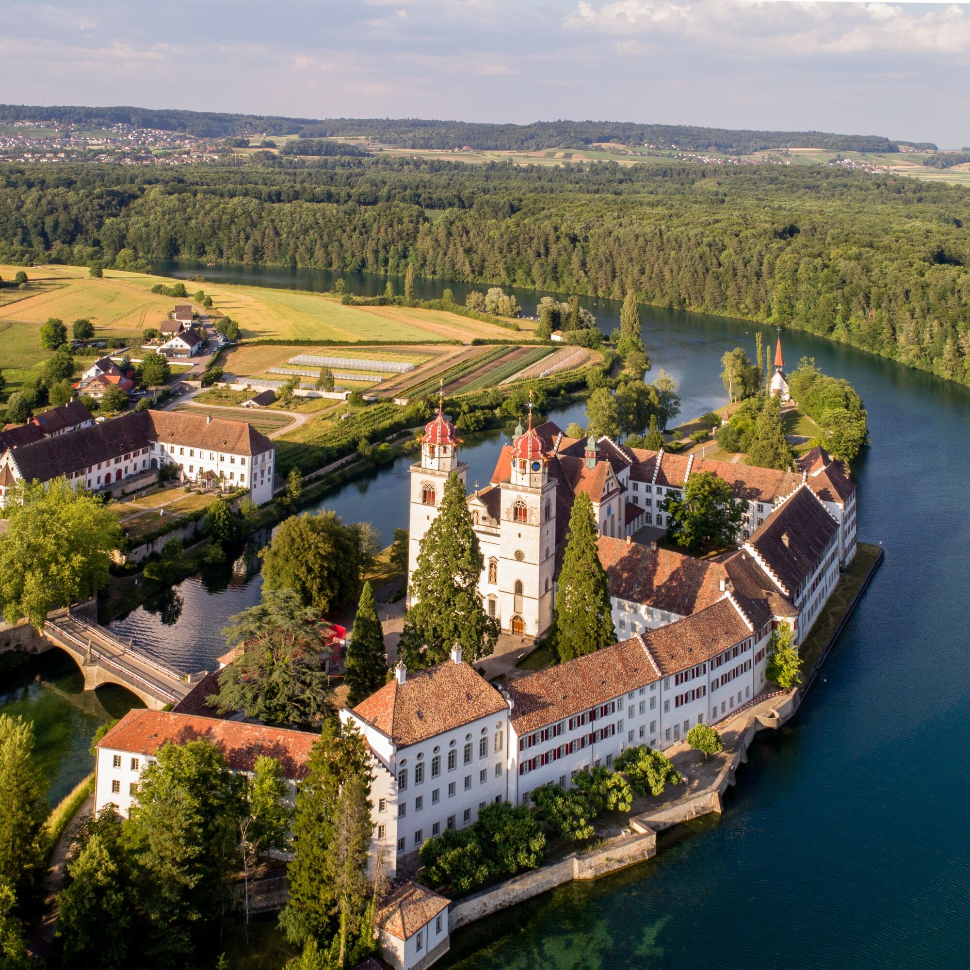
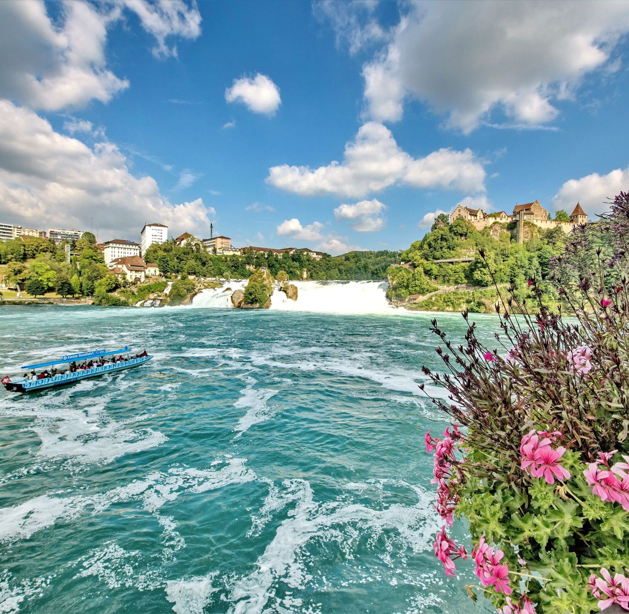

From Schaffhausen you go over the bridge to Feuerthalen. Directly after the bridge turn right onto the natural path directly on the Rhine. Continue until you reach Flurlingen. At the end of the pretty village a bridge leads to Neuhausen. Directly after the bridge follow the hiking trail to the Rhine Falls basin. Continuing along the hiking trail, proceed to Nohl. There you cross the bridge to Dachsen and continue hiking directly along the Rhine to Rheinau.
good footwear
route planner
parking garages and public parking spaces
A ride with Schiffmändli or Rhyfall Mändli at the Rhine Falls


Obľúbené výlety v okolí
-
4,7
Small Rheinfall Circular Route
svetloTuristika 3,48 km -
4,8
Rundwanderweg Rheinau
svetloTuristika 6,85 km -
Circular hike Schaffhausen - Rhine Falls - Schaffhausen
strednáTuristika 10,0 km -
4,8
Flaach - Ellikon - Flaach
Turistika 12,0 km -
SwitzerlandMobility 896: Rhine Falls Circular Route
strednáTuristika 7,39 km -
5,0
Circular hike over the Hinterranden
strednáTuristika 11,0 km -
4,5
Nature trail Merishausen: Brown route
strednáTematická trasa 11,4 km -
4,5
SchweizMobil 593: Nordspitze Panoramaweg
strednáTuristika 13,7 km -
4,0
Stein am Rhein – Schaffhausen Round Trip
strednáCyklistika 39,7 km -
4,0
Circular route Schleitheim - Seldehaalde - Schleitheim
Turistika 11,2 km
Turistika a stopovanie


Nenechajte si ujsť ponuky a inšpiráciu na ďalšiu dovolenku
Vaša e-mailová adresa bol pridaný do poštového zoznamu.





