






Hike on the Rosenboden panoramic circular route at 2262 m above sea level.
Úroveň náročnosti: T1
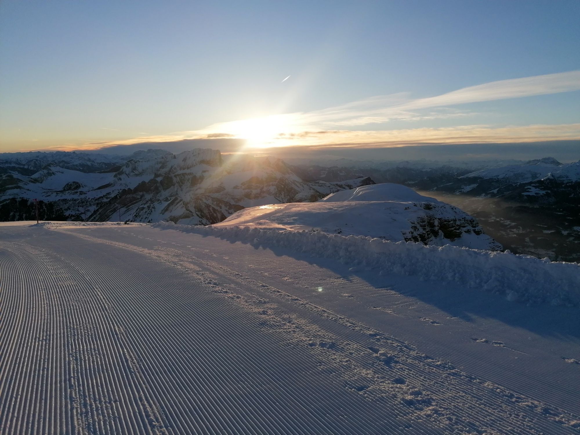
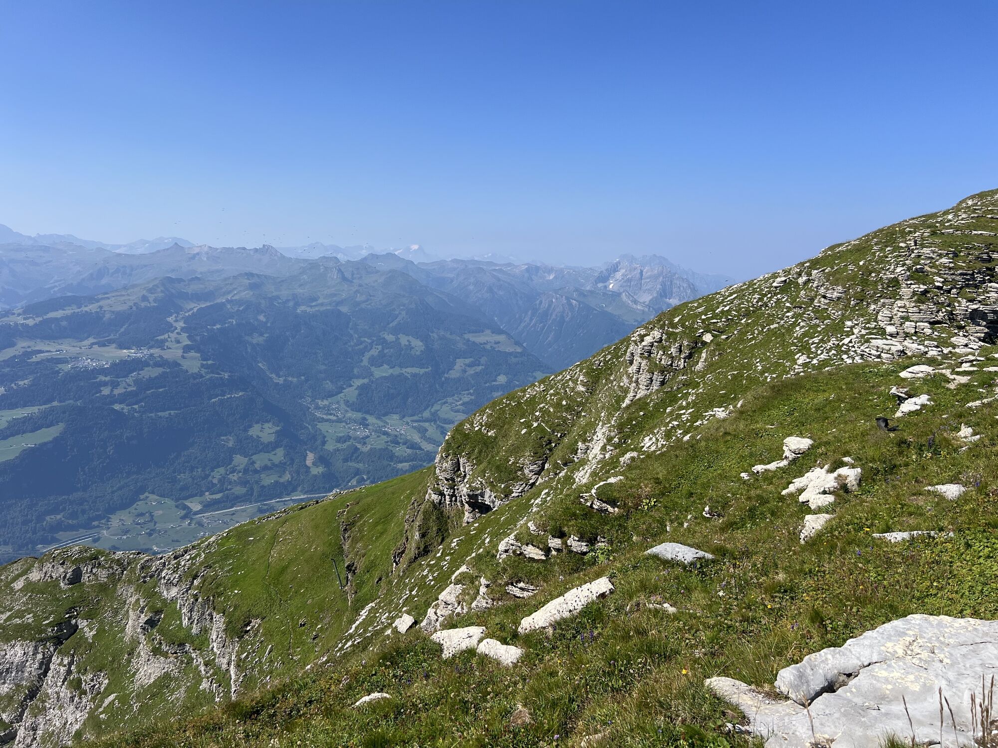
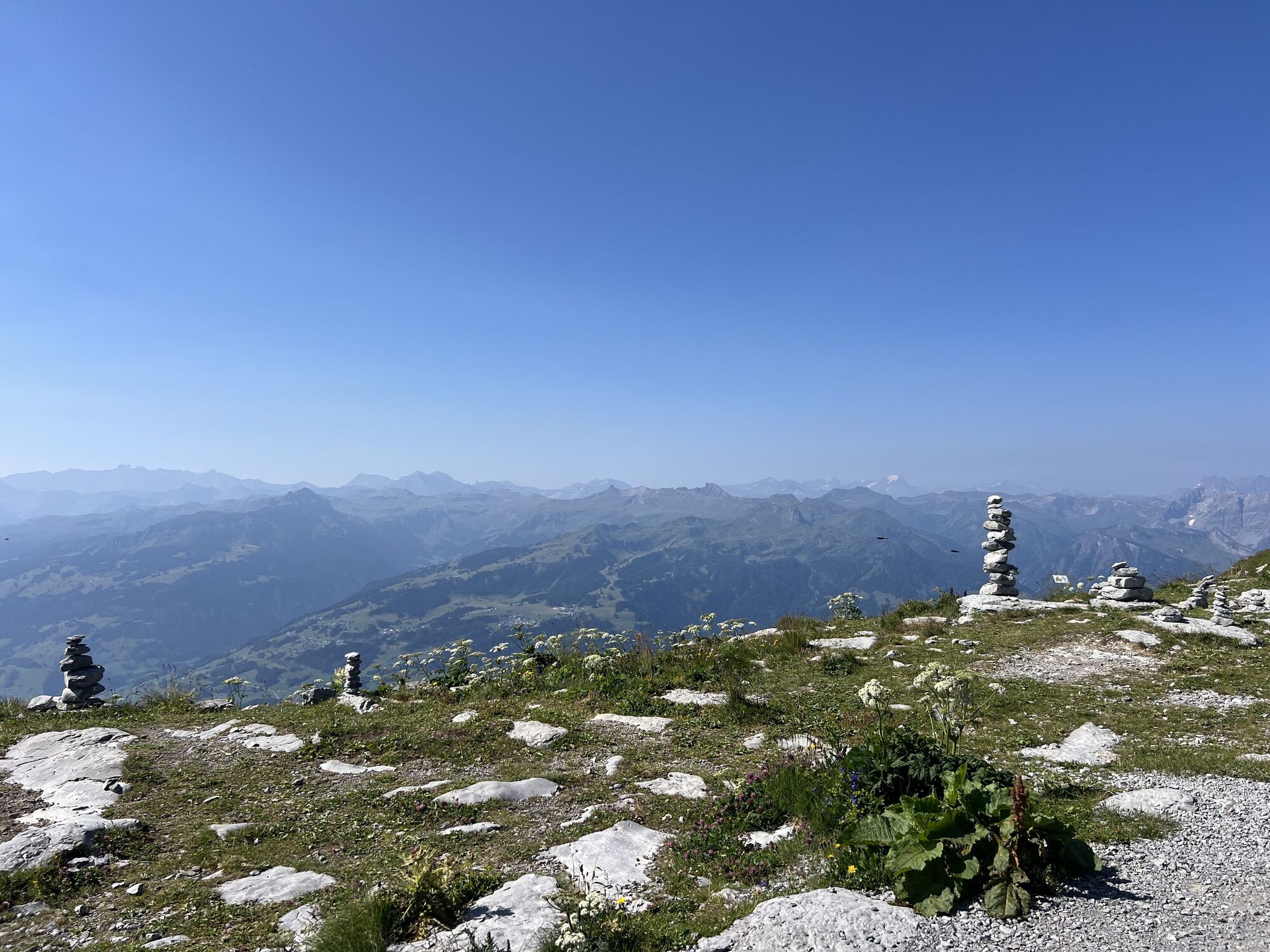
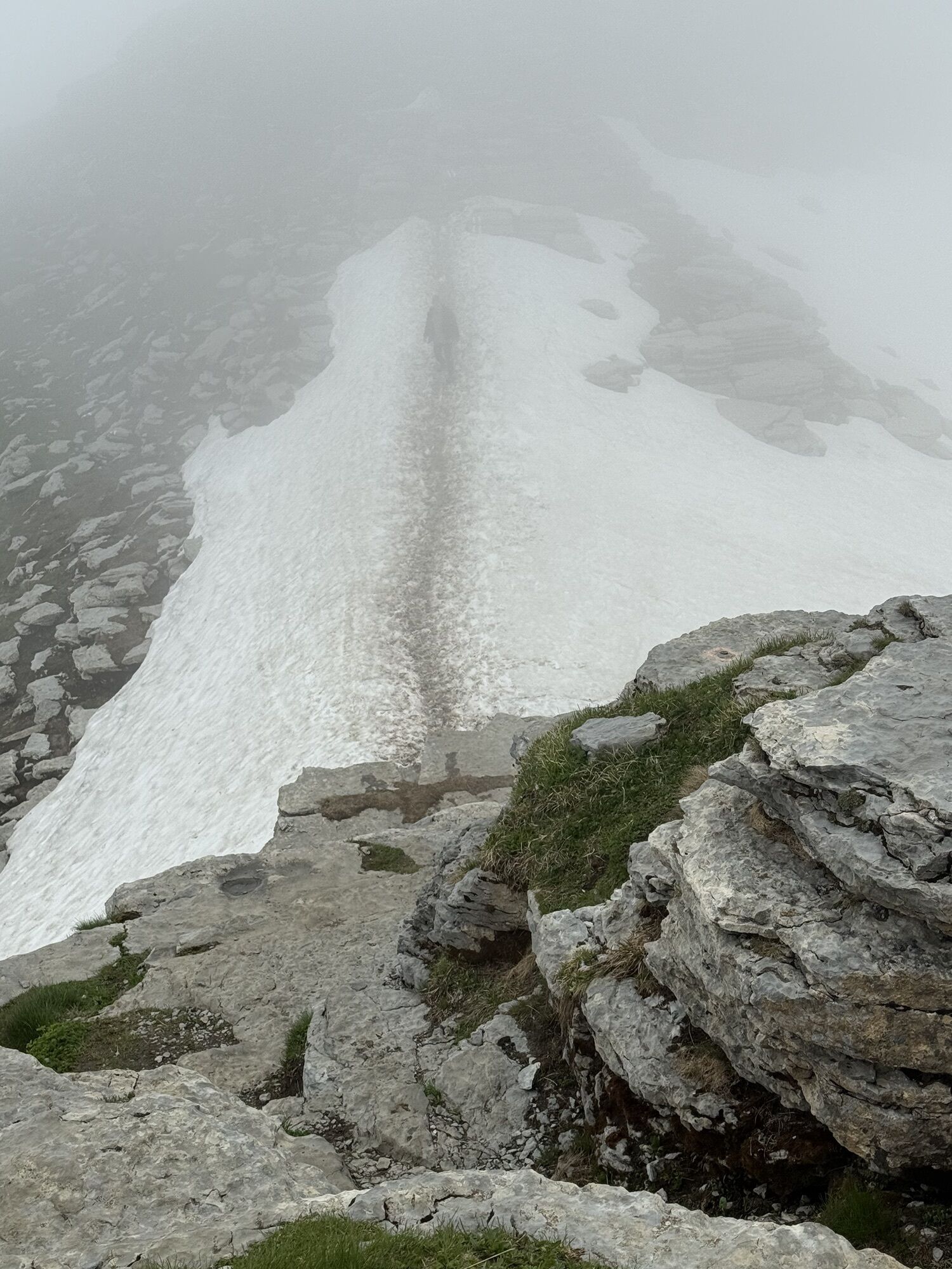
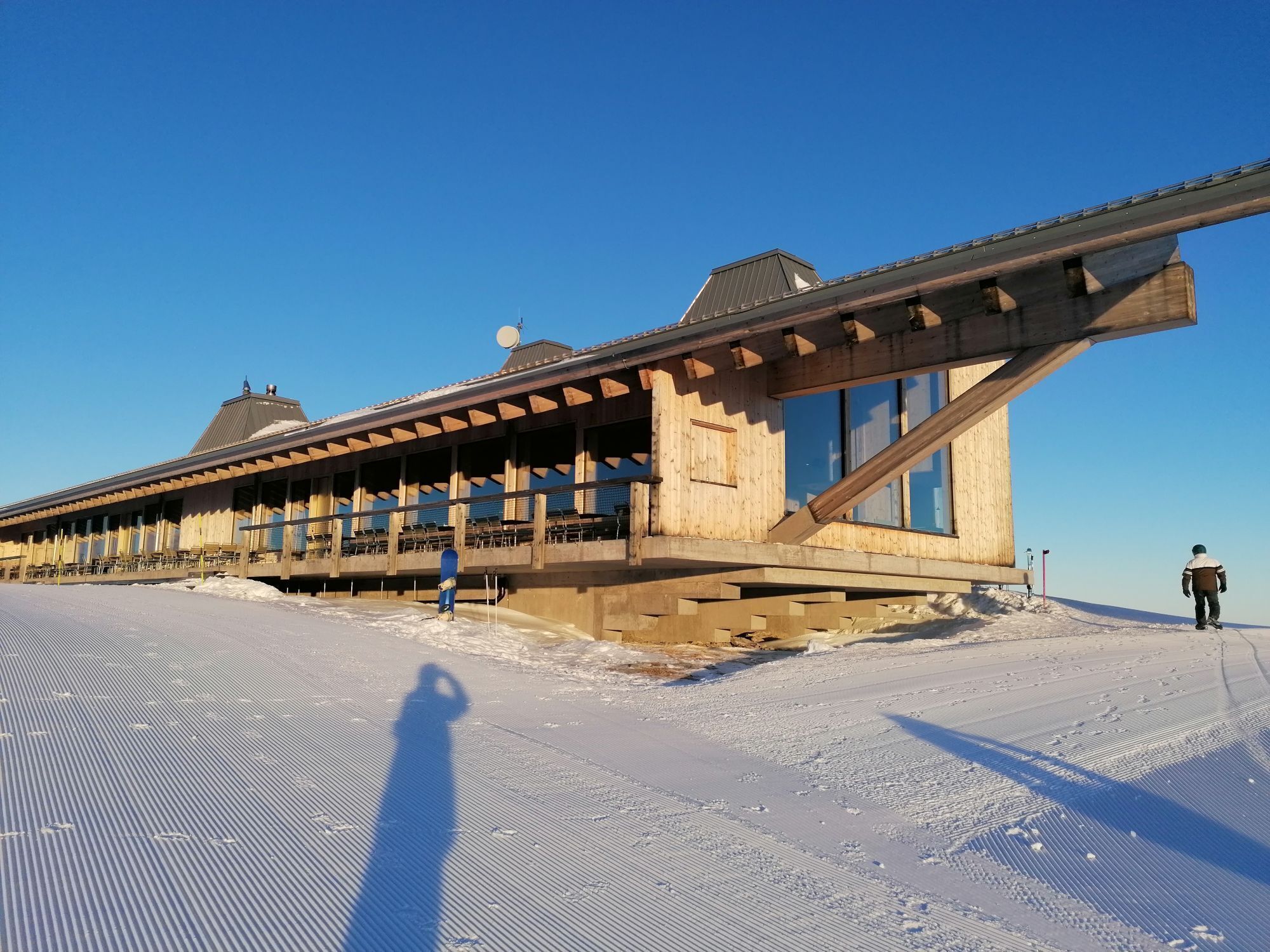
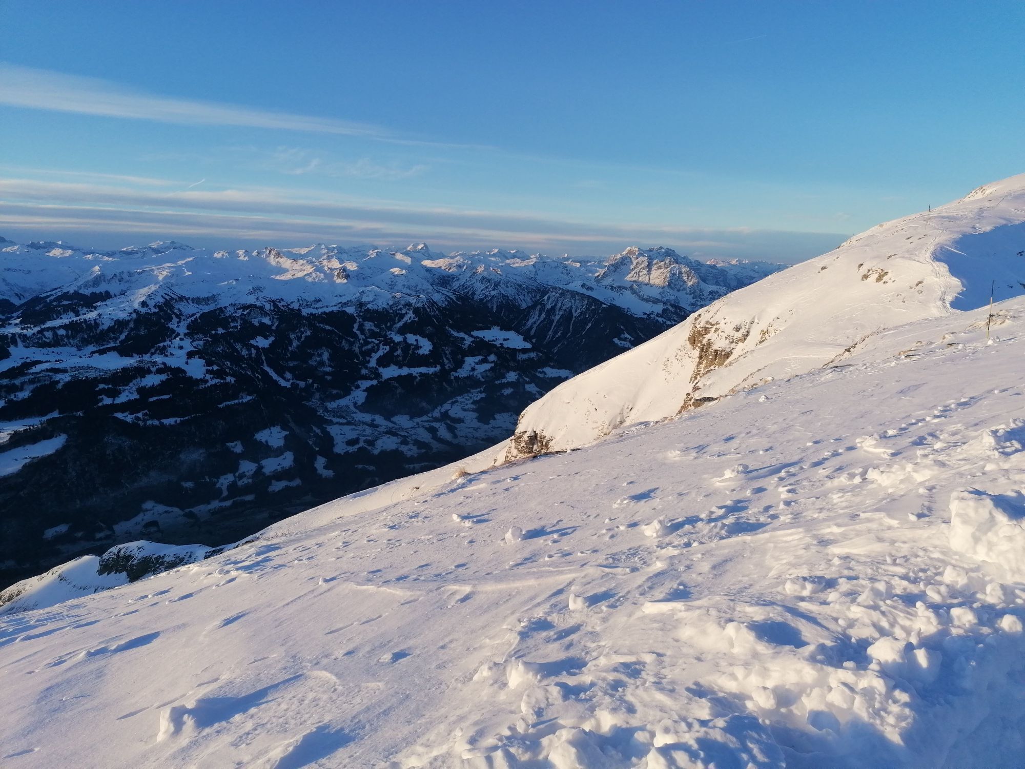
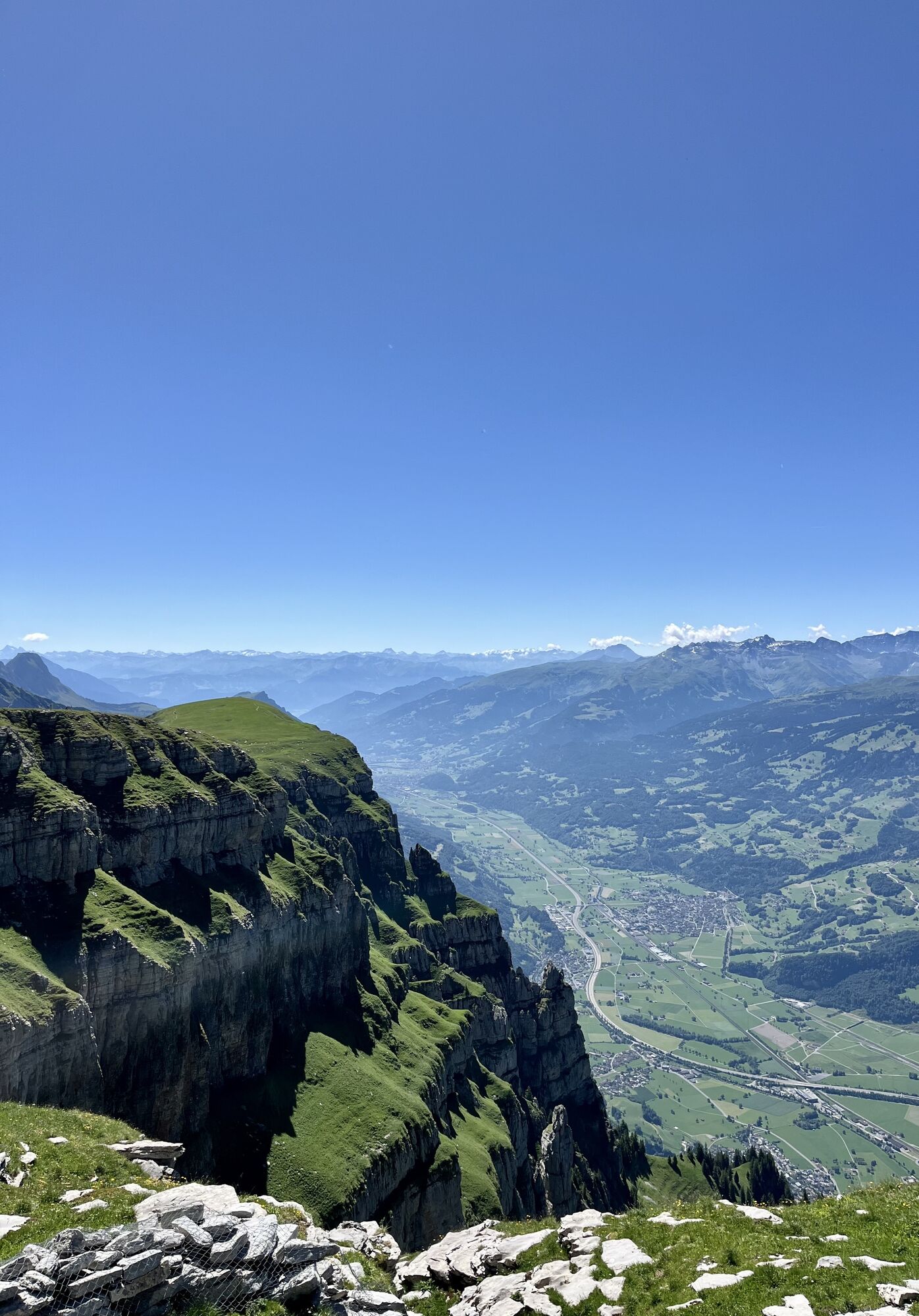
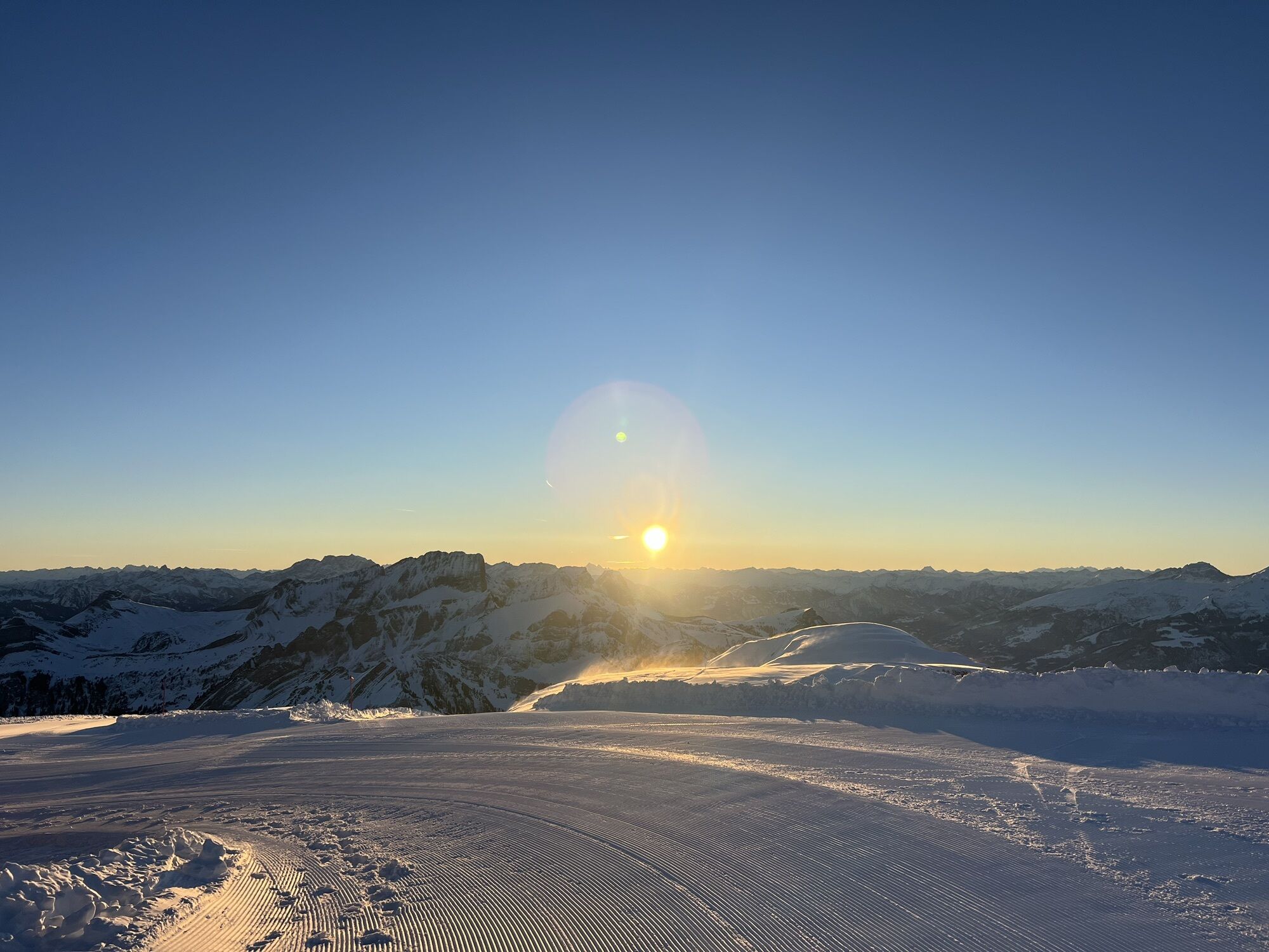
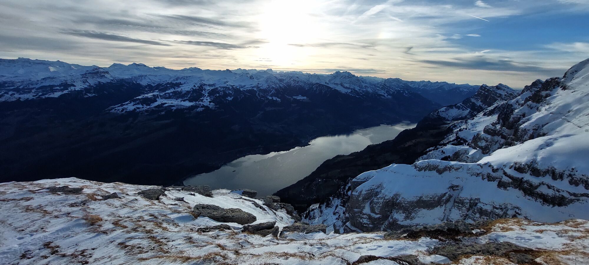
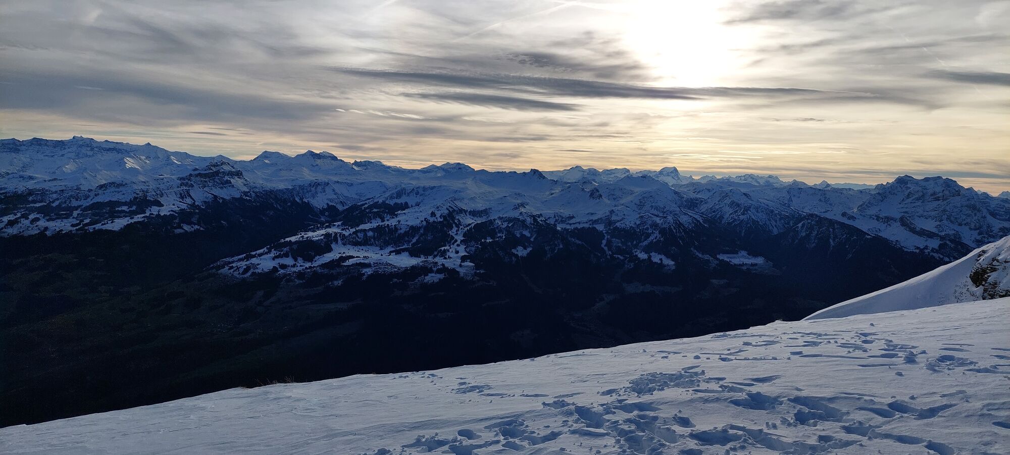
On the Rosenboden plateau on the Chäserrugg, hiking is carefree and offers a fantastic wide view. The three-kilometer circular route takes about one to two hours depending on your mood. A diverse alpine...
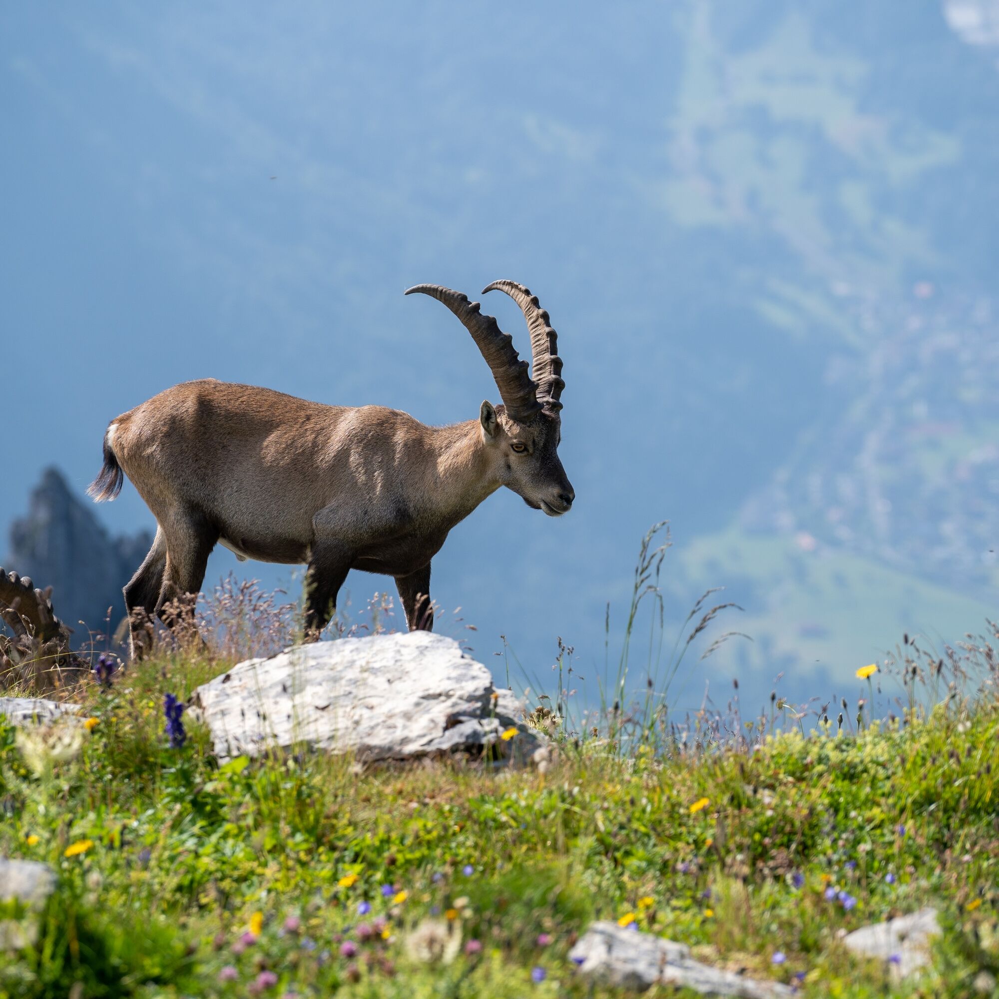
On the Rosenboden plateau on the Chäserrugg, hiking is carefree and offers a fantastic wide view. The three-kilometer circular route takes about one to two hours depending on your mood. A diverse alpine flower world delights the hiker's heart. If luck is on your side, you may encounter a colony of ibex. Since the starting point is accessible by train and the circular route has a total elevation difference of only 60 meters, it does not require high technical skill or fitness and is suitable for everyone.

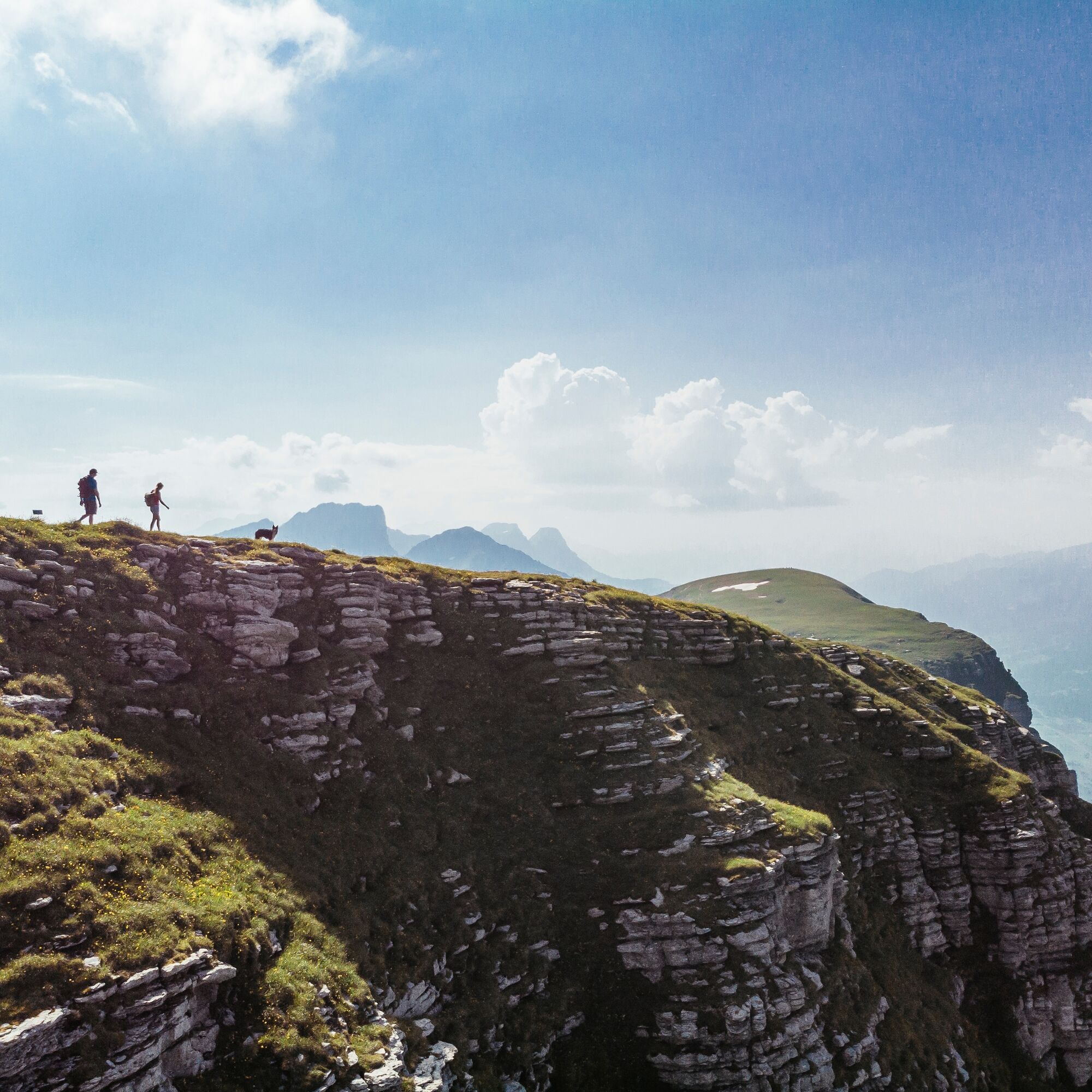
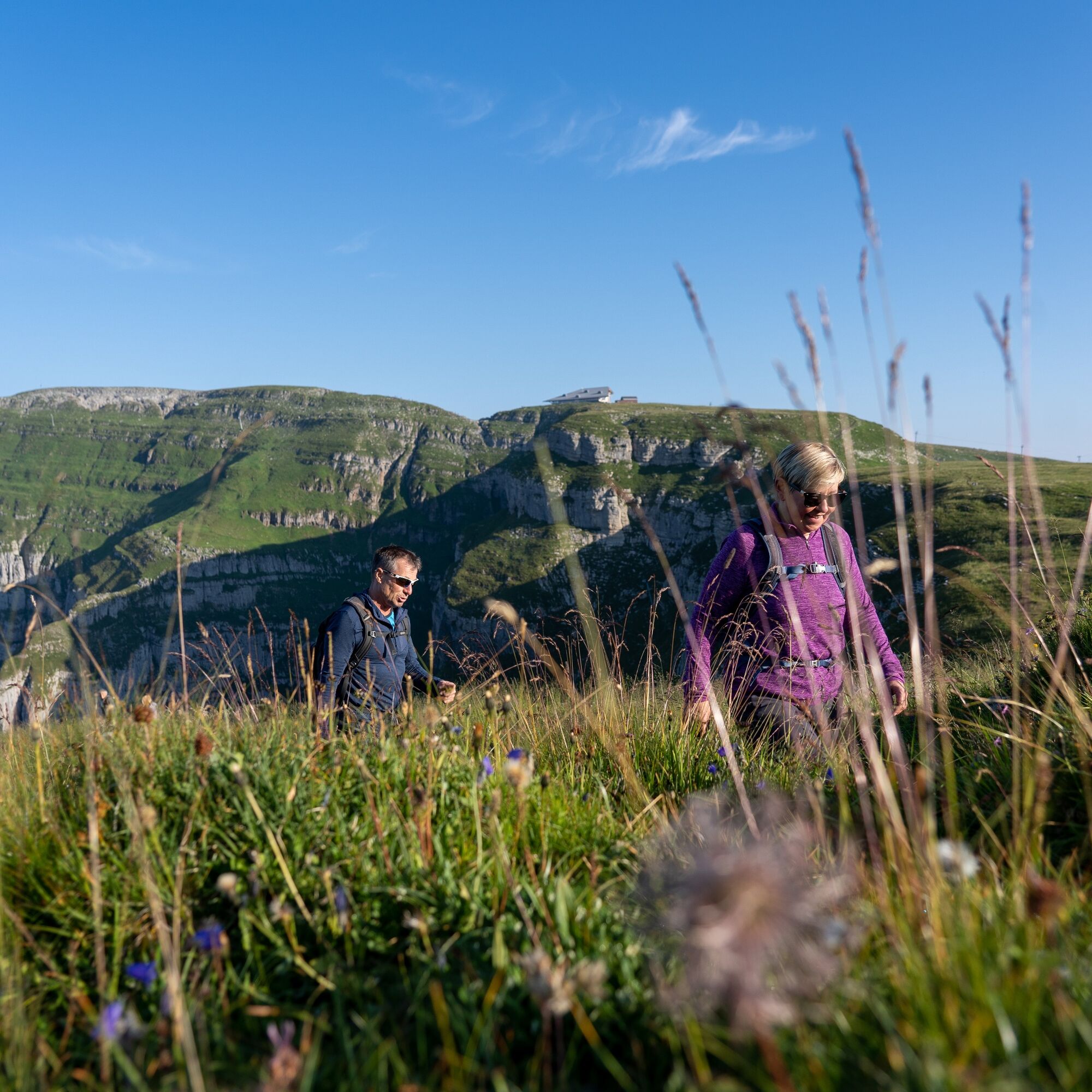
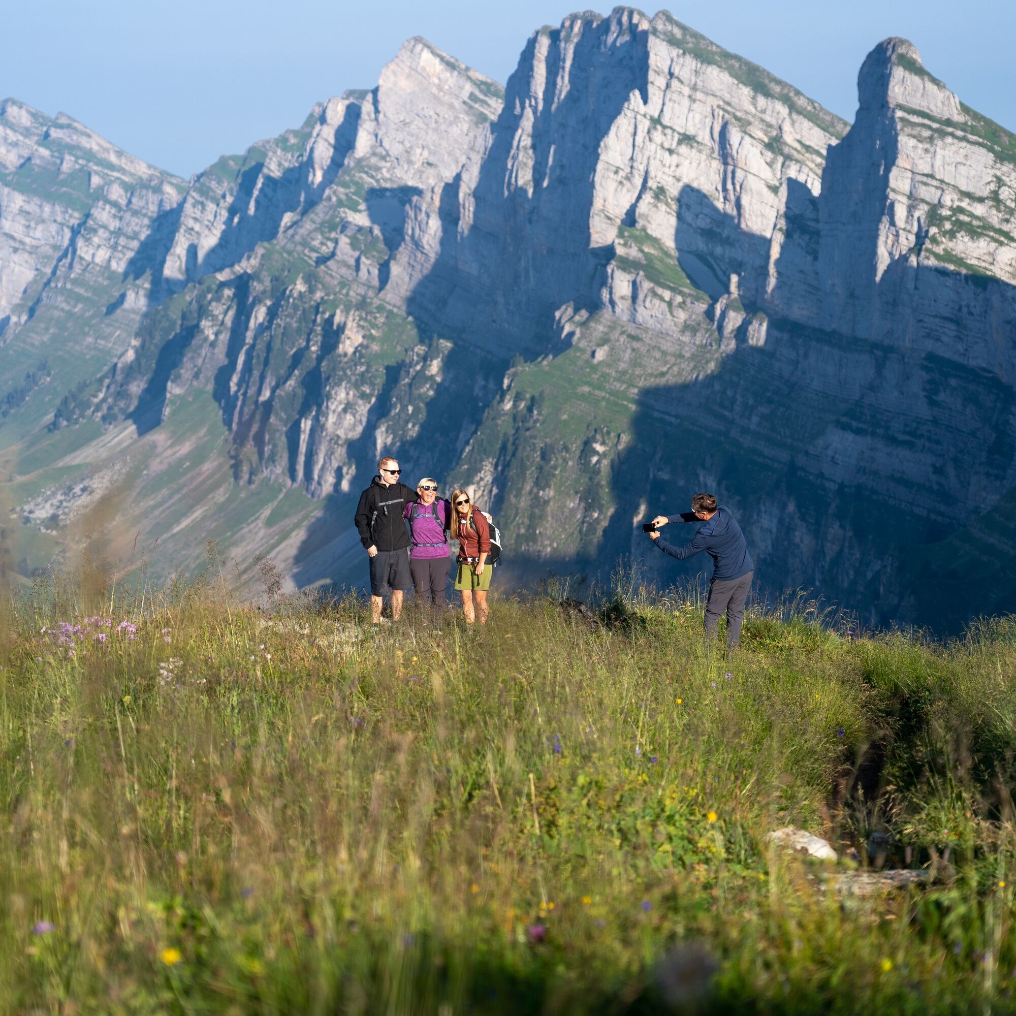
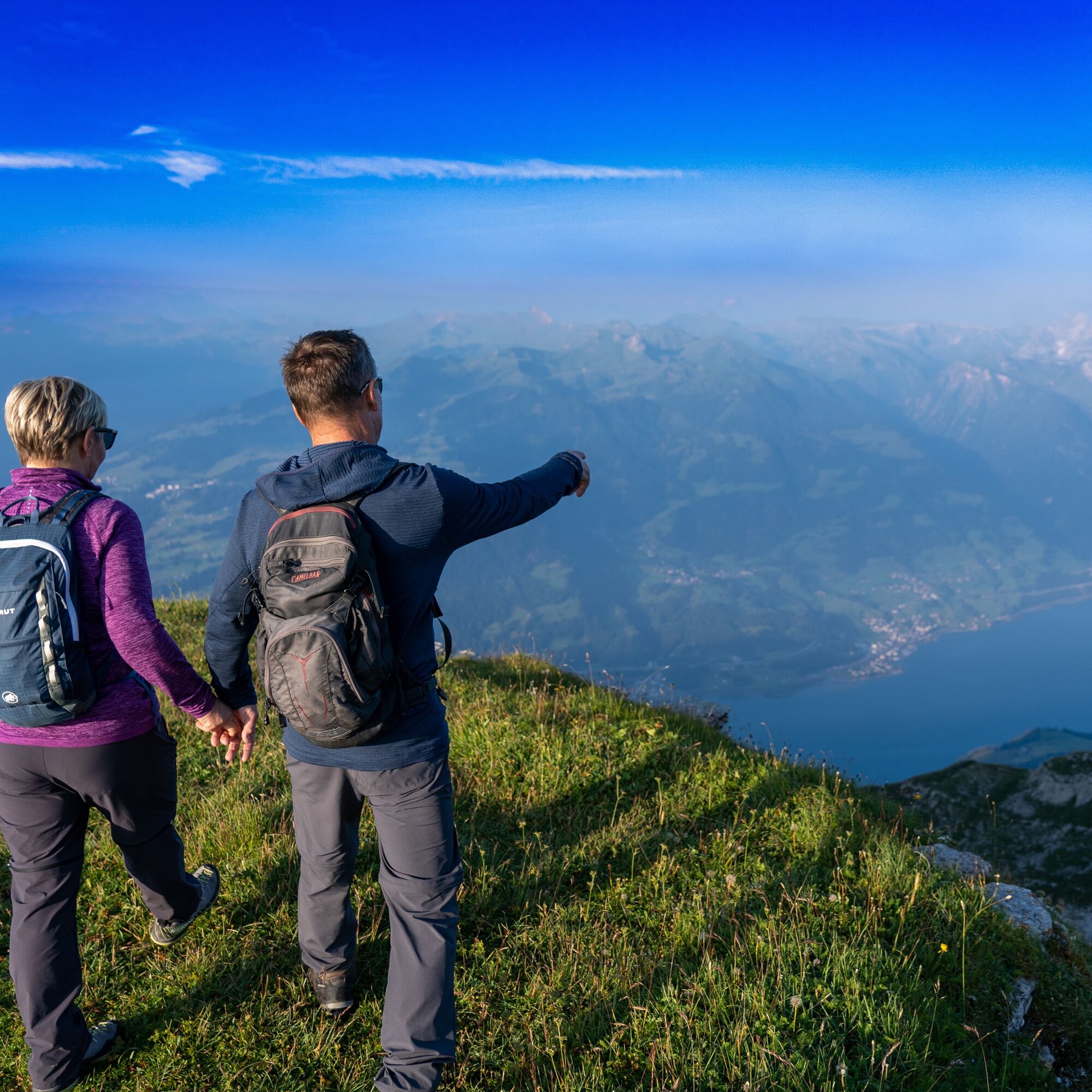
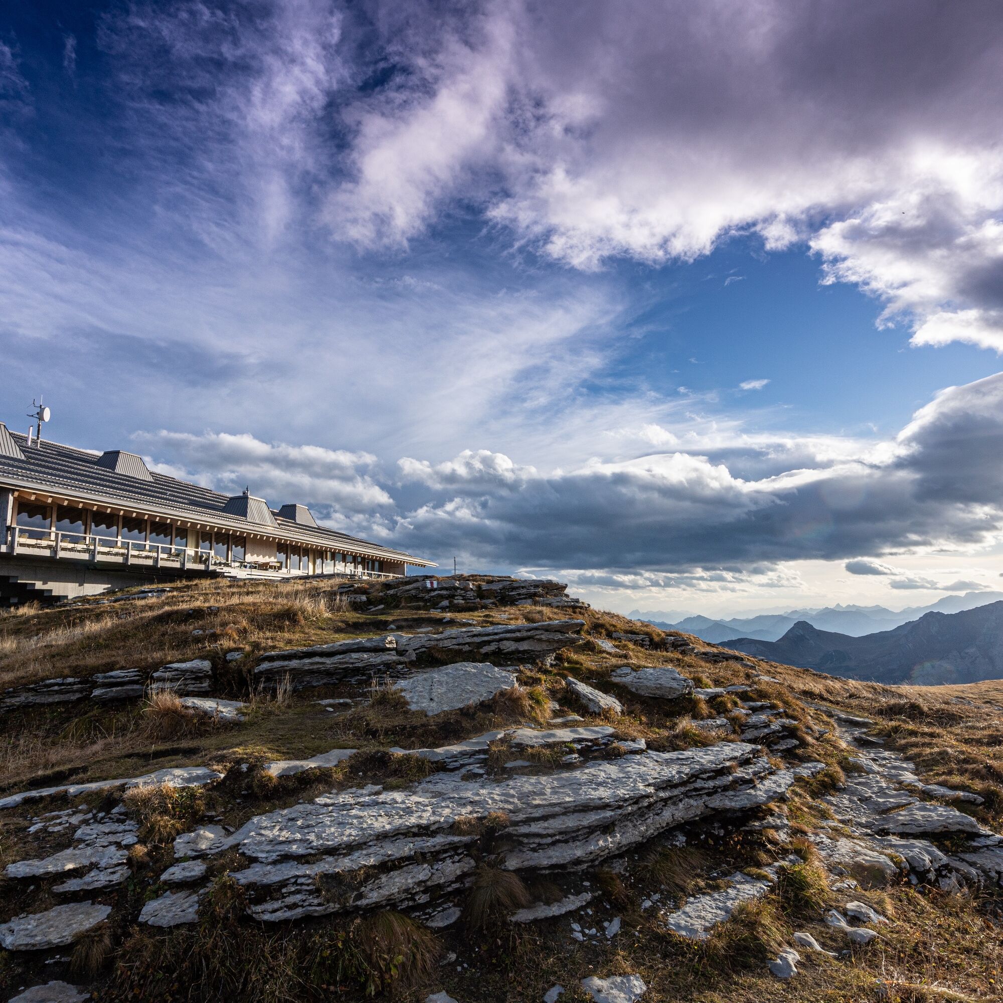
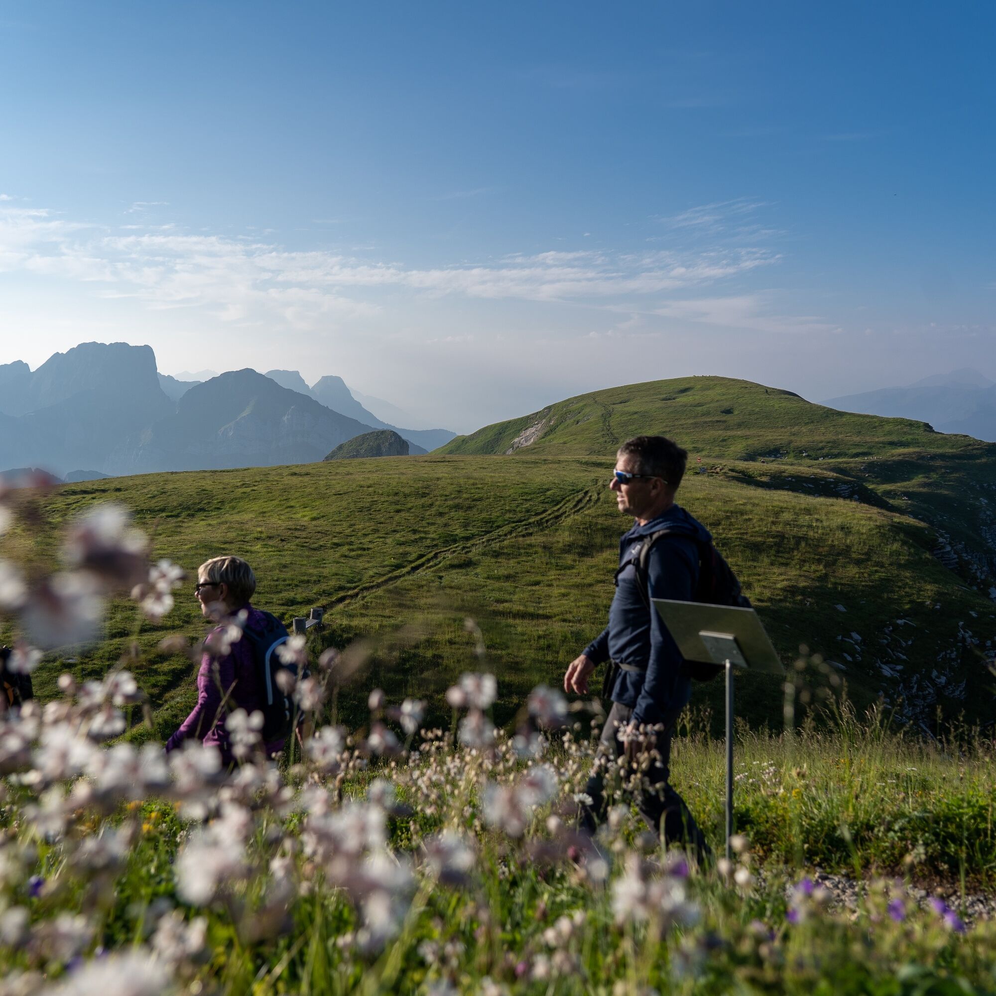

Once you reach the summit of Chäserrugg, the Rosenboden circular route is consistently signposted.
Áno
Áno
Day hiking backpack (approx. 20 liters) with rain cover, sturdy and comfortable footwear, weather-appropriate and durable clothing in layers, if applicable telescopic poles, sun and rain protection, provisions and drinking water, first aid kit, pocket knife, mobile phone
The circular route should not be left too far. The steep rock faces are not to be underestimated in wet conditions.
Take the A3 at Reichenburg towards Rapperswil and then over the Ricken Pass to Wattwil. Then go up Toggenburg to Unterwasser. From Eastern Switzerland:
From St. Gallen to Herisau and further over Wasserfluh to Lichtensteig. Or from St. Gallen to Wil, take the Toggenburg exit. Follow the main road to Unterwasser. From the southern German region:
Via Bregenz and St. Margrethen on the A13 to Haag and take the exit towards Toggenburg/Wildhaus. Or via Konstanz to Wil, then take the Toggenburg exit and follow the main road to Unterwasser.
By train to Nesslau-Neu St. Johann or Buchs SG, then by post bus to the "Unterwasser Post" stop
There are sufficient free parking spaces available at the valley station of the cable car.
T1
Information about the operating times of the cable cars, the Chäserrugg summit restaurant, and ticket prices can be found here.
Additional hiking offers are available on the website of Toggenburg Tourism.
Toggenburg Tourism
Hauptstrasse 104
9658 Wildhaus
Tel. +41 71 999 99 11
Web: www.toggenburg.swiss
Along the circular route, there are information boards about the flora at Rosenboden, and several benches invite you to rest and enjoy the scenery.
 Získajte prehľad
Vždy naživo na mieste s viac ako 9 500 webovými kamerami. bergfex Ako používateľ Pro si teraz môžete pozrieť príslušné webové kamery pre mnohé zájazdy v aplikácii zájazdy z. Môžete si tak priamo prezerať aktuálne podmienky.
Získajte prehľad
Vždy naživo na mieste s viac ako 9 500 webovými kamerami. bergfex Ako používateľ Pro si teraz môžete pozrieť príslušné webové kamery pre mnohé zájazdy v aplikácii zájazdy z. Môžete si tak priamo prezerať aktuálne podmienky.

Obľúbené výlety v okolí
-
4,8
Walensee Riviera Weesen - Quinten
strednáTuristika 10,2 km -
4,7
Riviera Lake Walen Walenstadt-Quinten
strednáTuristika 10,4 km -
4,6
Weesen - Quinten - Walenstadt
ťažkéTuristika 20,6 km -
5,0
Staubern-Runde (15.8.2021)
strednáTuristika 8,65 km -
4,9
Säntis-Gipfeltour, Wasserauen / Appenzell Innerrhoden
ťažkéTuristika 21,1 km -
4,7
Tour Brülisau - Saxerlücke - Hoherkasten⛰
ťažkéTuristika 16,6 km -
4,7
Wasserauen - Seealpsee - Wasserauen
strednáTuristika 7,71 km -
4,6
Säntis
strednáHorská turistika 17,5 km -
4,5
7-Peak Tour Flumserberg
ťažkéTuristika 15,0 km -
5,0
Schrina Alp and Cultural Trail
strednáTematická trasa 11,5 km
Turistika a stopovanie


Nenechajte si ujsť ponuky a inšpiráciu na ďalšiu dovolenku
Vaša e-mailová adresa bol pridaný do poštového zoznamu.





