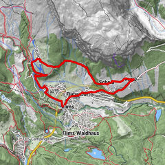
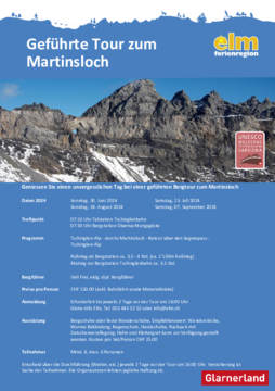
Údaje o túre
3,82km
1.507
- 2.594m
1.095hm
1.095hm
00:57h
- Stručný popis
-
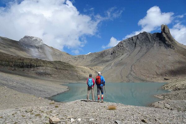
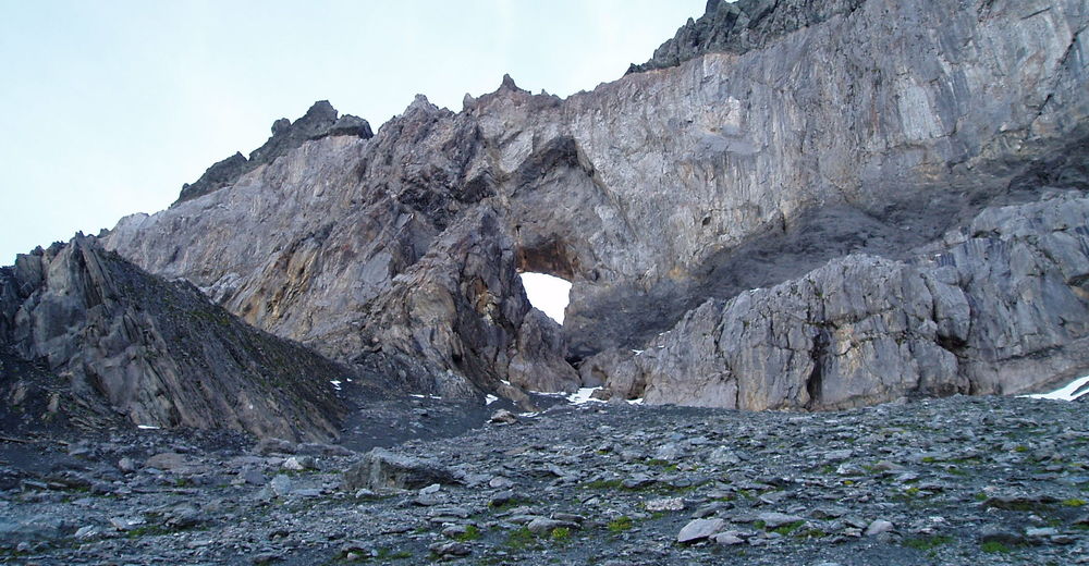
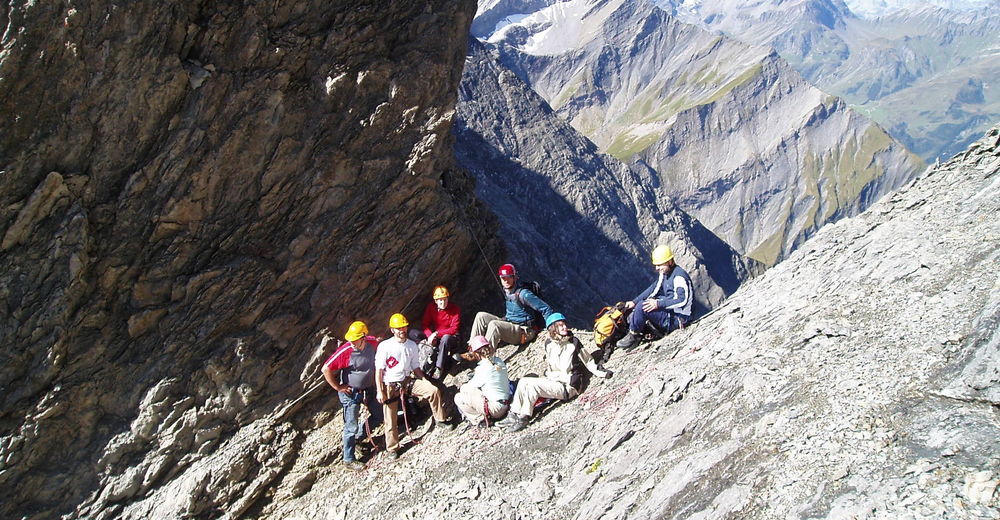
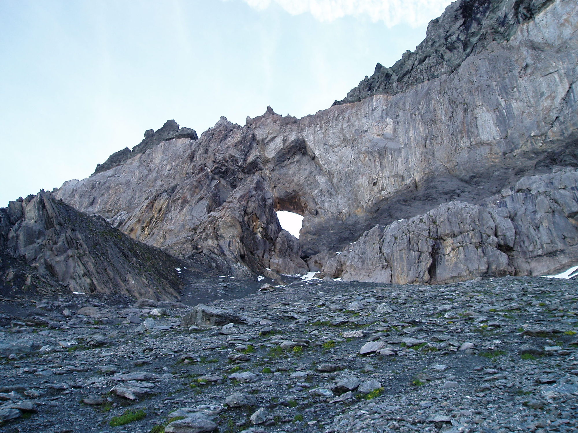
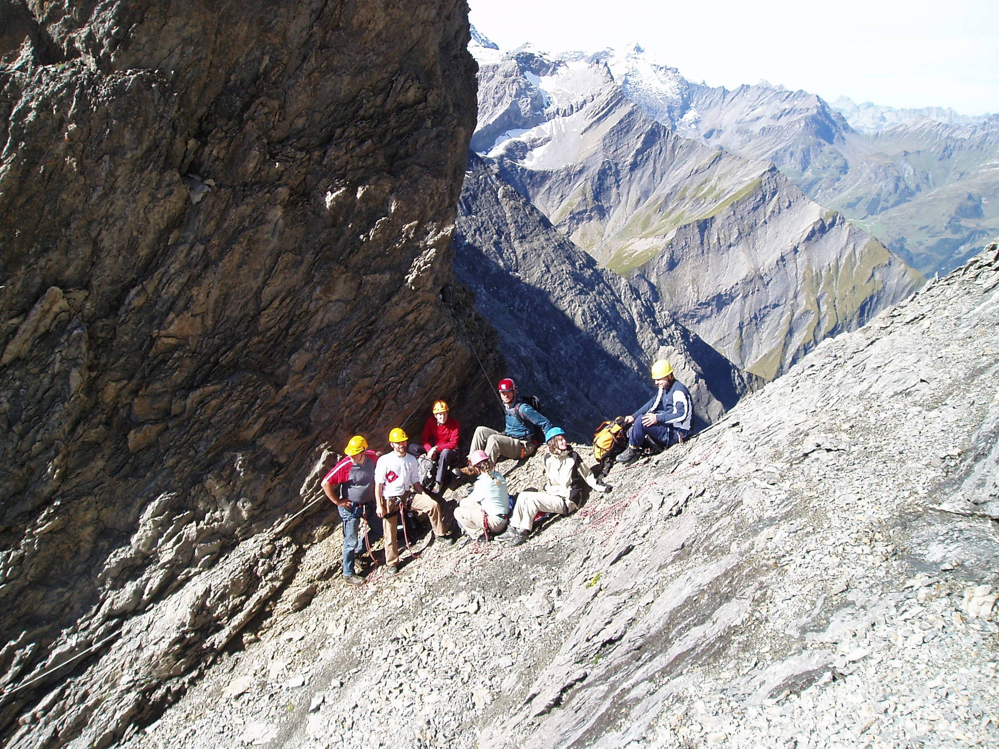
In Begleitung eines lokalen Bergführers das Martinsloch hautnah erleben.
- Obtiažnosť
-
ťažká
- Hodnotenie
-
- Východisko
-
Talstation der Tschinglenbahn. 07.10 Uhr
- Trasa
-
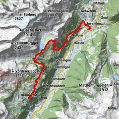
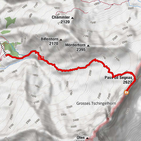
Segnes-Pass3,5 km
- Najlepšia sezóna (ročné obdobie)
-
janfebmaraprmájjúnjúlaugsepoktnovdec
- Najvyšší bod
- 2.594 m
- Zvyšok/Ústup
-
Pause unterwegs und im Martinsloch. Verpflegung aus dem Rucksack.
- Mapy
-
Topographische Karte Elm Ferienregion 1:25'000
- Infomateriál
-
- Informačný telefón
-
055 642 52 52
- Link
- https://elm.ch/de/map/detail/gefuehrte-tour-zum...
- Zdroj
- Elm Ferienregion
GPS Downloads


Podmienky na trase
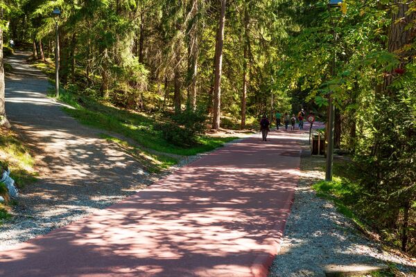
Asfalt
Štrk
Lúka
Les
Skala
Exponovaný
Ďalšie prehliadky v regiónoch
-
Glarnerland
1972
-
Elm
773
-
Elm
206